Most of the walks that Bentham Footpath Group offer are circular – we need to end where we started because that’s where our cars are.
That’s not a problem in itself, but sometimes there is an attractive route that’s well worth walking, but which offers no route back – without simply turning round.
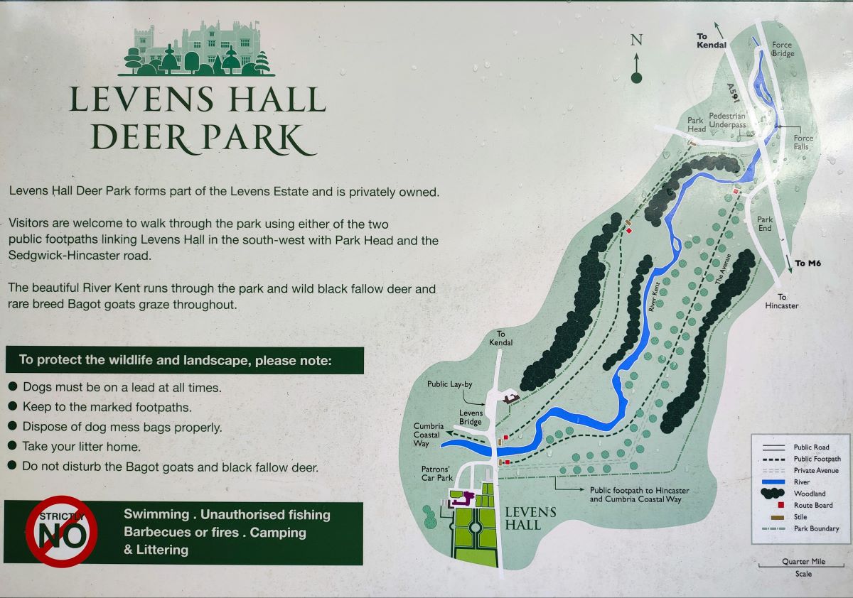
So, here’s a solution: This walk is linear – we park at Holme and get the bus to Levens Bridge, then walk through Levens Hall Deer park to pick up the disused Lancaster Canal which we follow all the way back to Holme. Not only do we get to see more of the canal and its industrial archaeology than would otherwise have been possible, but we can include the deer park, which is simply stunning in autumn, as well as enjoying great views of the Kent estuary from the top deck of the bus.
In effect we have two starting points. If you are taking the bus at the beginning of the walk as we did, then the start is in Holme. The easiest way to Holme is from the A65, heading south at the roundabout with the A6070. Continue for about 5km to the second sign for Holme on the right. This is the B6384 – Burton Road. Follow this until it crosses the M6 (about 100m) then park in the layby as the road bears right. The bus stop is on the left about 100m further along the B6384. If you are using Satnav to get there then try Sheernest Lane, Holme as an address, or LA6 1QS as a postcode. If you prefer paper maps then the OS Grid reference is SD52767836, and the What-3-words tag is haystack.meanings.clash
An alternate start is at Levens Bridge getting back by bus – or some other means. In this case Satnav users can enter the address Levens Hall, Kendal, or the postcode LA8 0PD, whilst the What-3-words tag for the bus stop is blackbird.paramedic.claps, which corresponds to OS grid reference SD49538529.
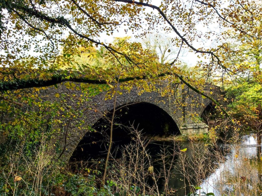
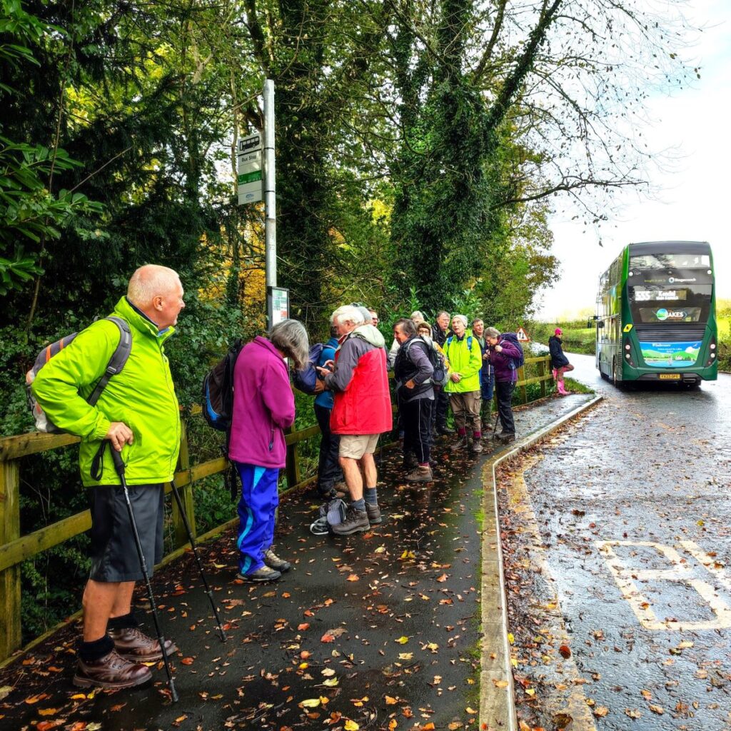
The bus stop is on the A6: Having disembarked, we need to cross the road and head back to the right to cross Levens Bridge – there is no footpath on the Western side of the bridge.
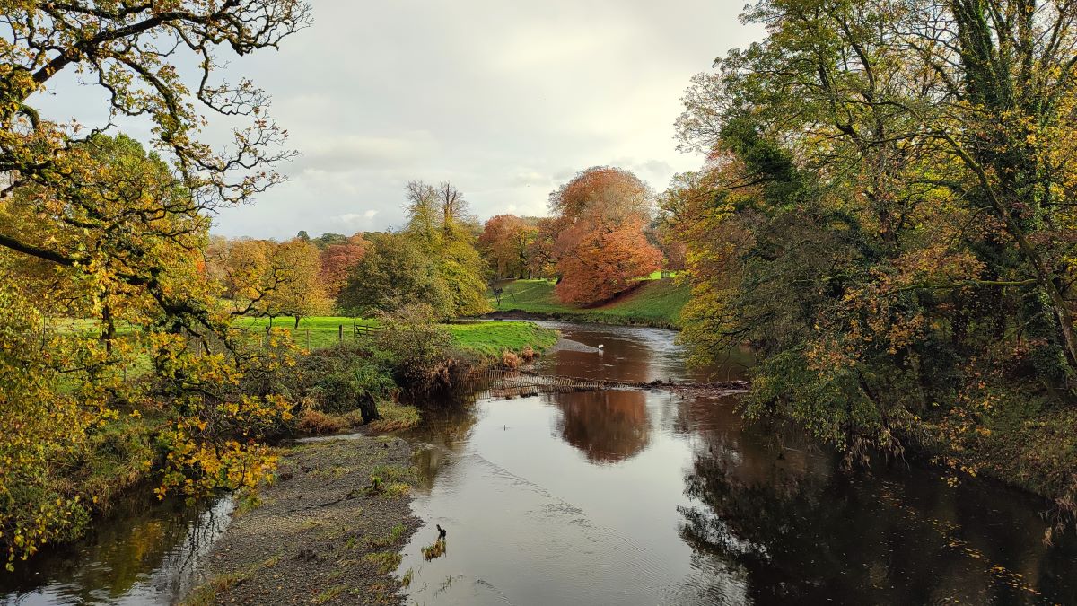
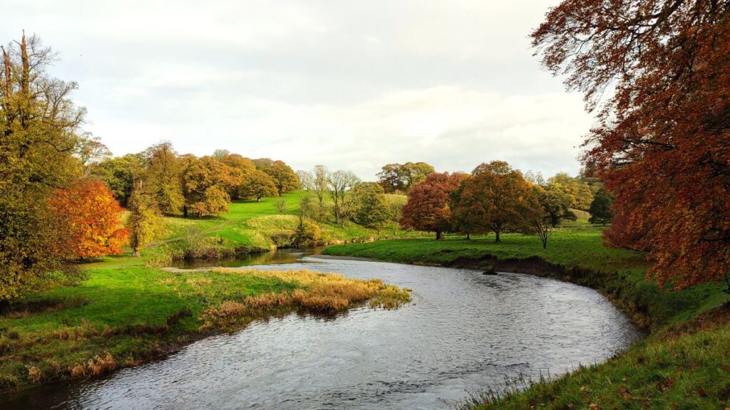
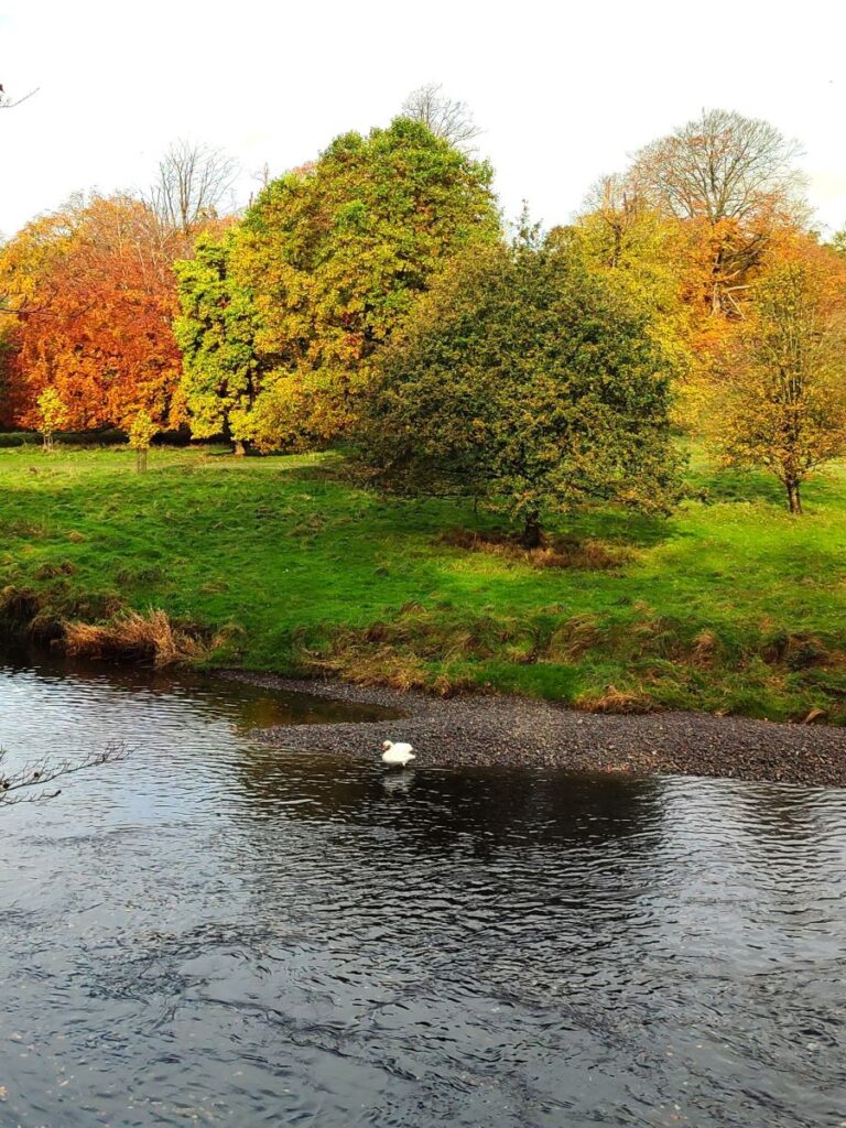
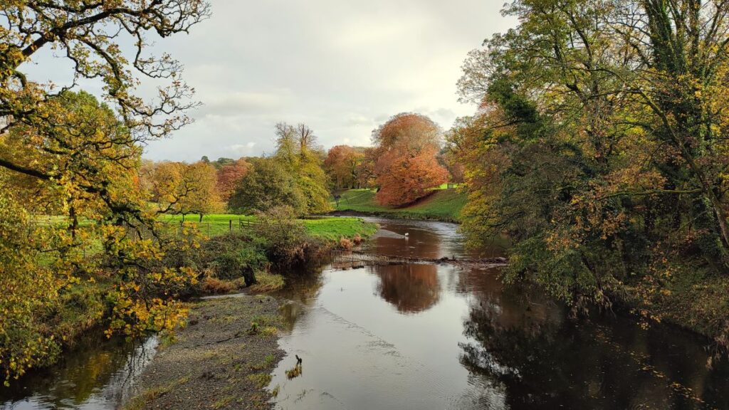
The bridge dates back to the 17th century and it is Grade II listed – although the structure we see now is largely a result of re-builds in the 18th and 19th centuries. From a walker’s point of view, the bridge is not especially remarkable, but it does offer good views of the river Kent as it flows through the Levens Hall Deer Park – a bright sunny autumn day presents a particularly good perspective.
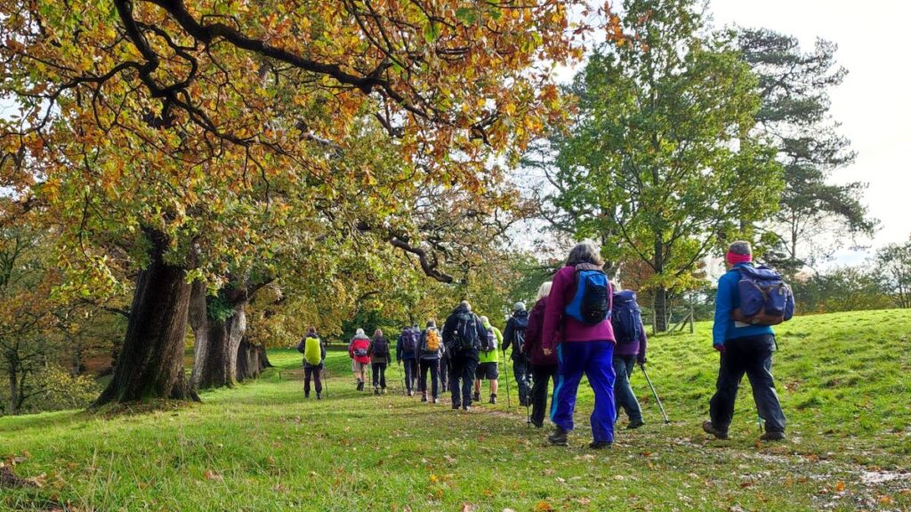
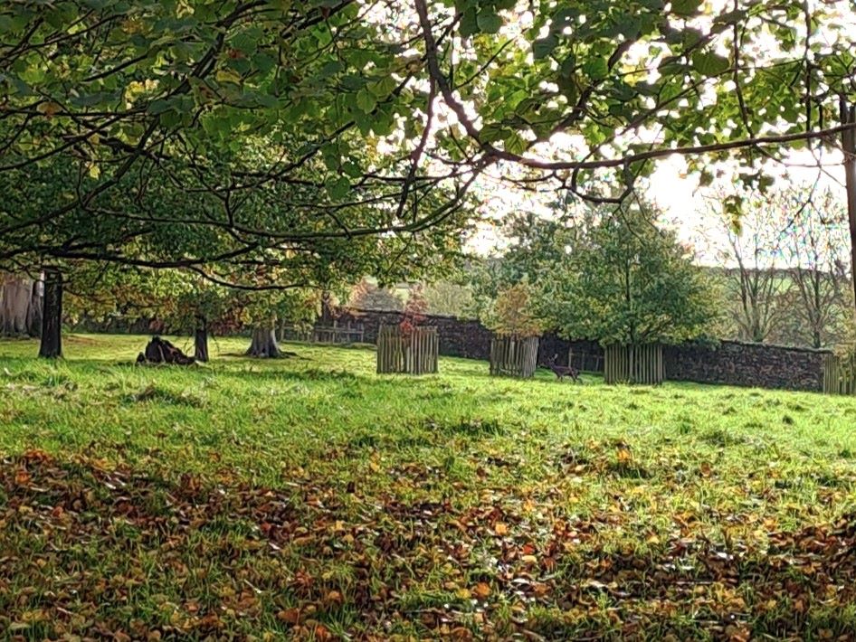
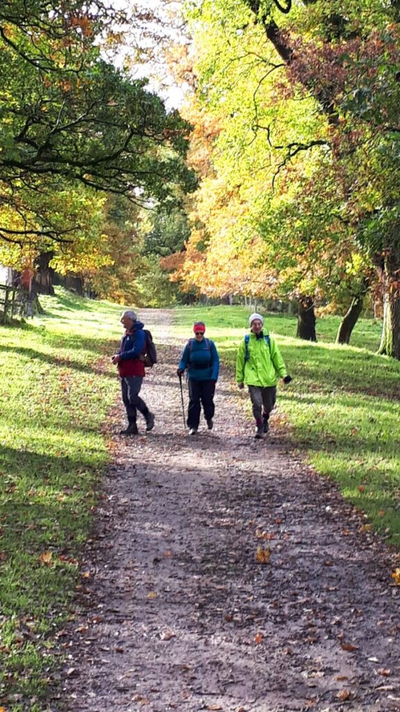
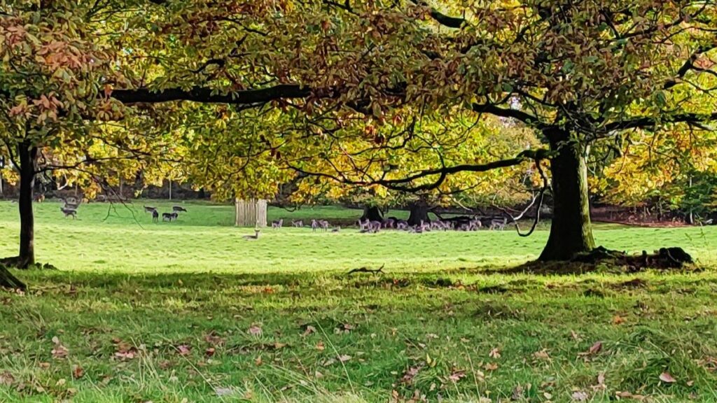
Just beyond the bridge there is a pedestrian entrance to the deer park which takes us onto a public footpath through the private grounds. The deer park belongs to Levens Hall – the entrance to which is right next to the bridge on the opposite side of the A6. Our walk doesn’t take us past the Elizabethan manor house, but it’s worth noting that it is open to the public – click herefor an unbiased description of the hall, and herefor details of opening times and the things to see. To see a drone’s eye view of the Deer Park, try this YouTube link
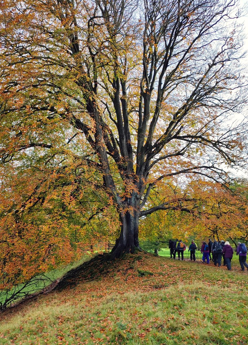
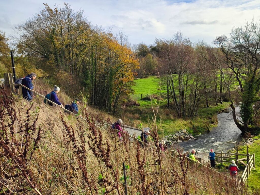
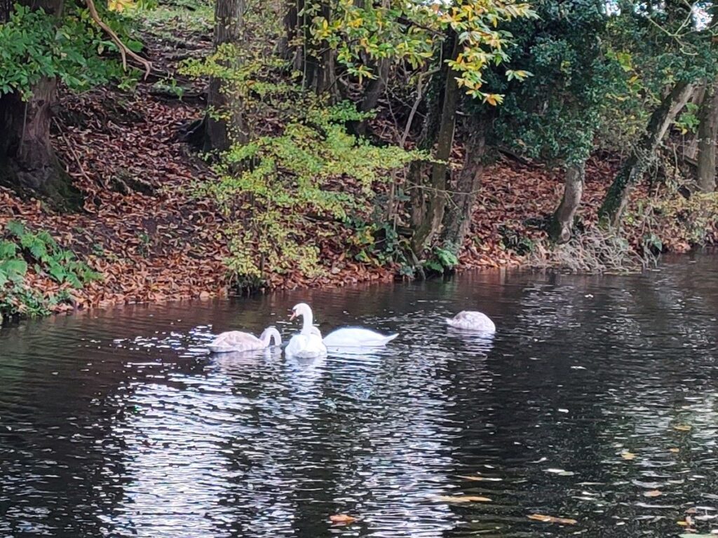
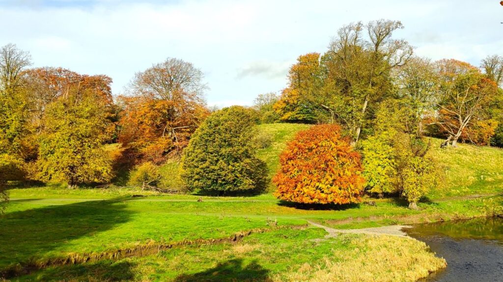
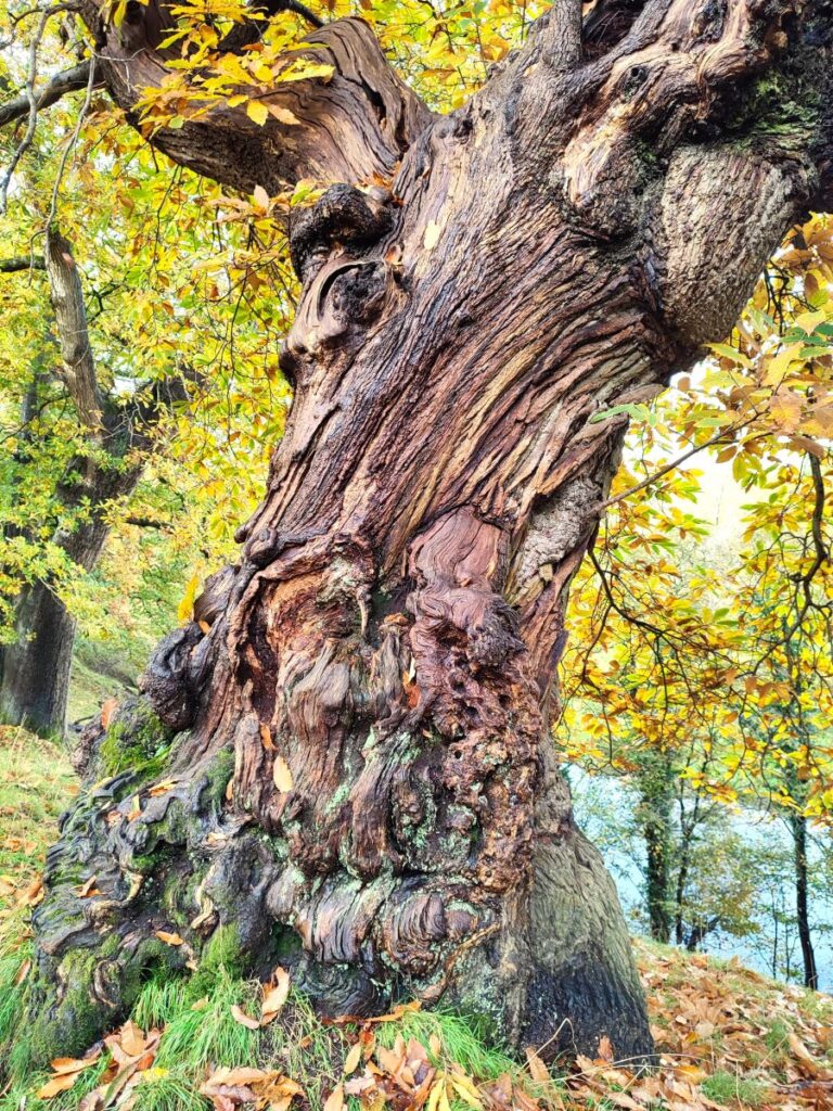
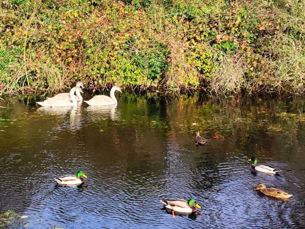
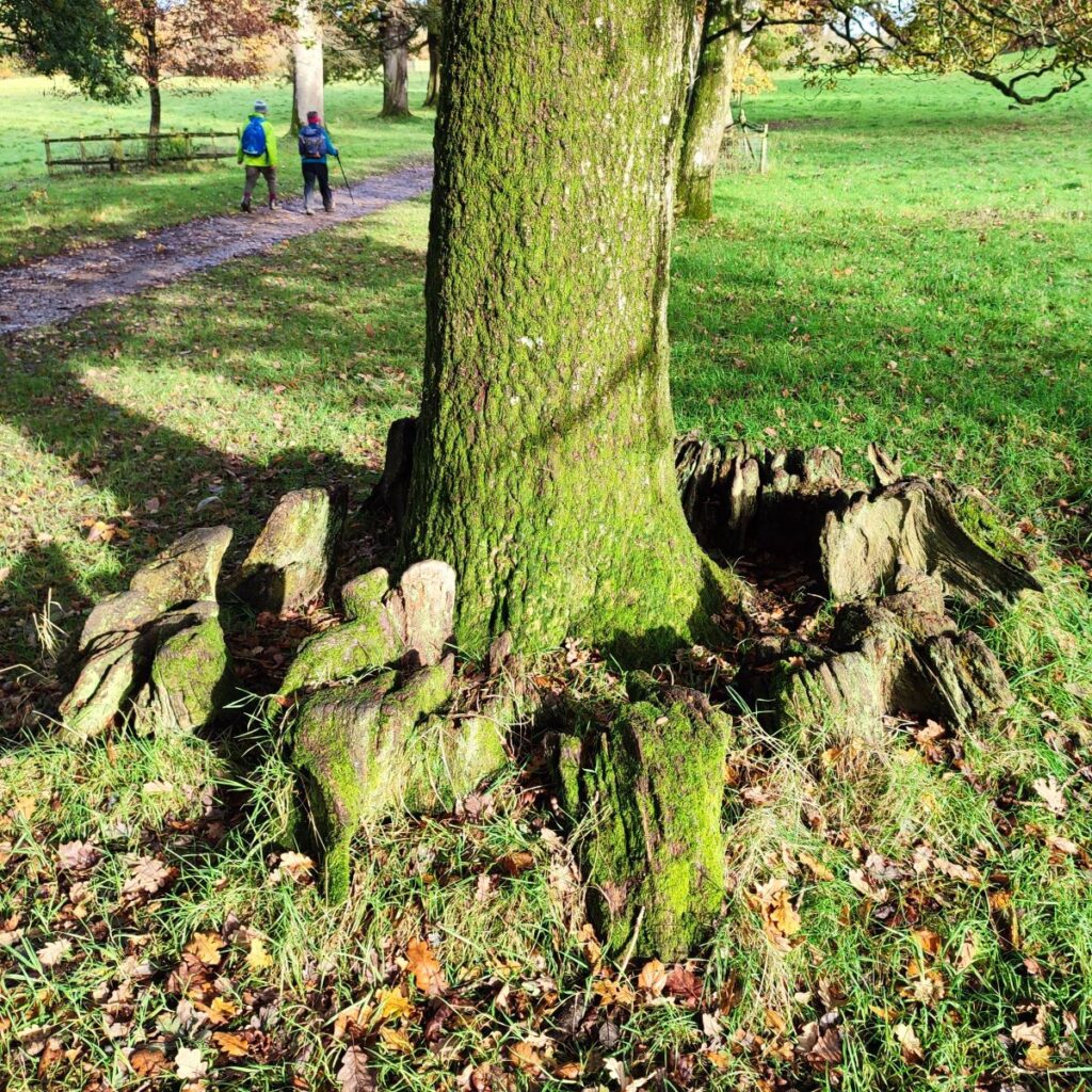
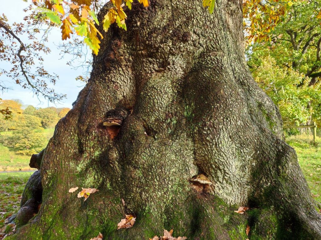
The park features many magnificent specimen trees and was landscaped some 300 years ago at the same time as the gardens of the main house. It hosts a herd of black fallow deer, along with rare-breed Bagot goats. With their distinctive white coats, black faces and large curved horns, the goats are believed to be Britain’s oldest breed of goat with a documented ancestry. No goats were seen during our walk, but the deer were quite apparent, as can be seen in this short video: The path through the Deer Park follows the River Kent upstream – it is worth knowing that there is a public footpath on each side of the Kent, and it’s important to use the one on the right bank (when heading upstream). Don’t be tempted to use the left hand path – it’s a good walk, but there is no connection with our route as we leave the Deer Park.
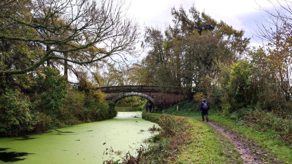
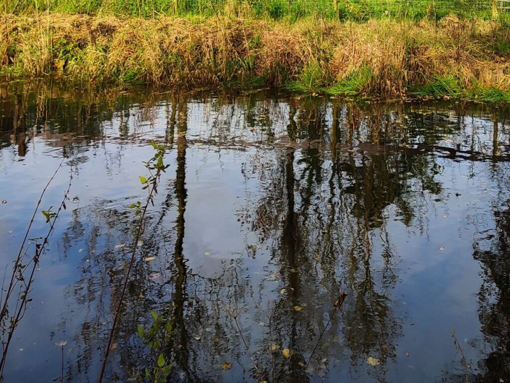
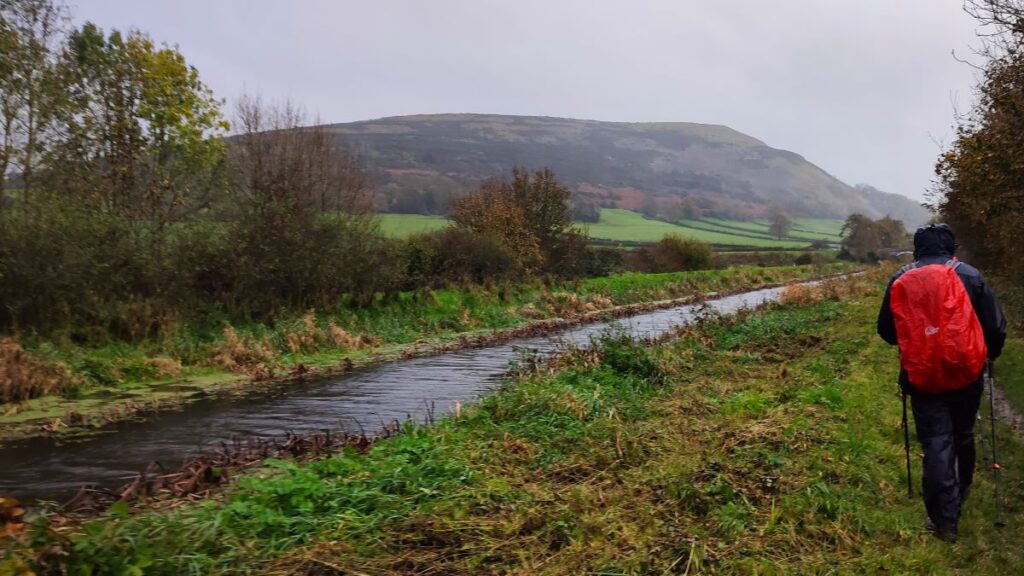
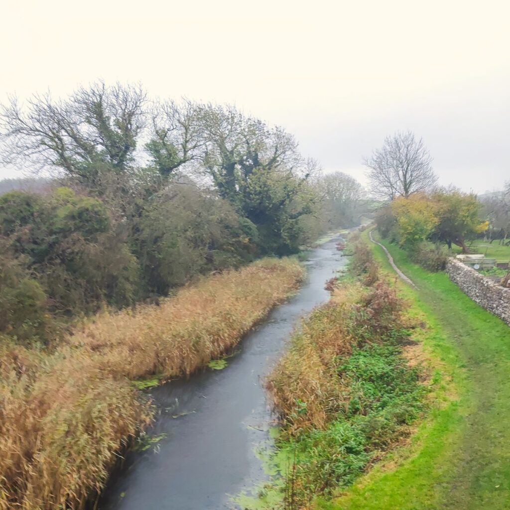
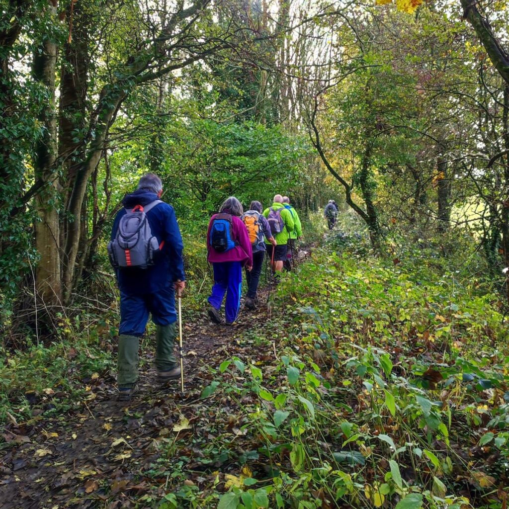
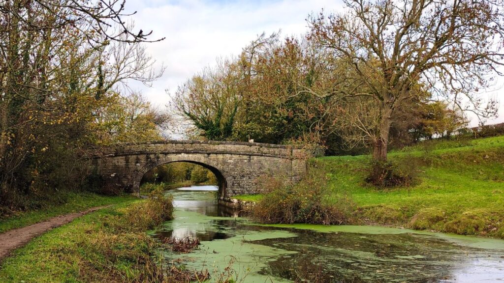
At the end of the 1km path through the park, we arrive at a gate and exit onto a minor road. From here we head right, walking along the road for a short while – the road is generally quiet, but there is no pavement, so care is needed. After 400m, we see a footpath sign on the left hand side of the road and take the path up to what was once a section of the Lancaster canal – it’s now dewatered so looks like a wide ditch, slowly being reclaimed by nature.
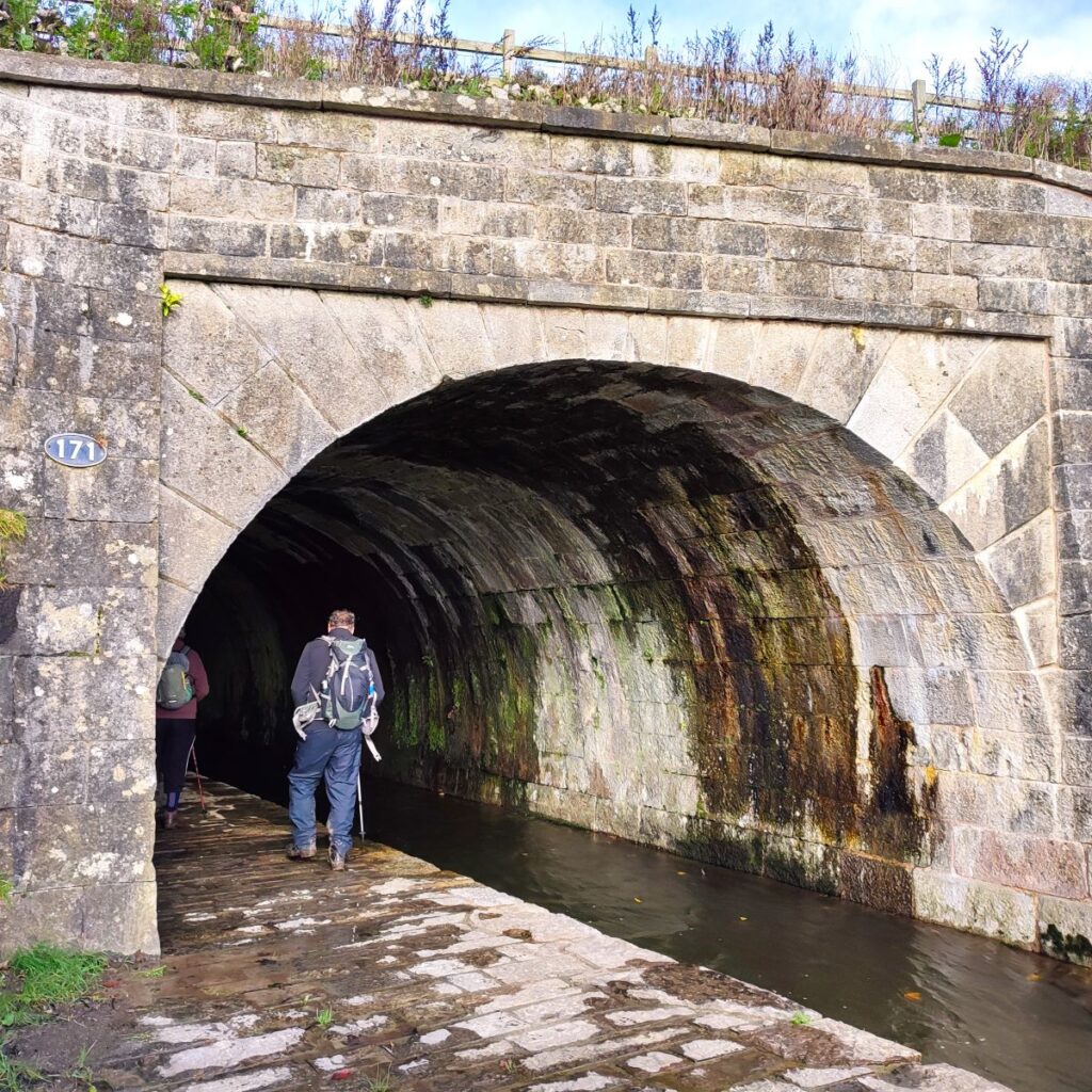
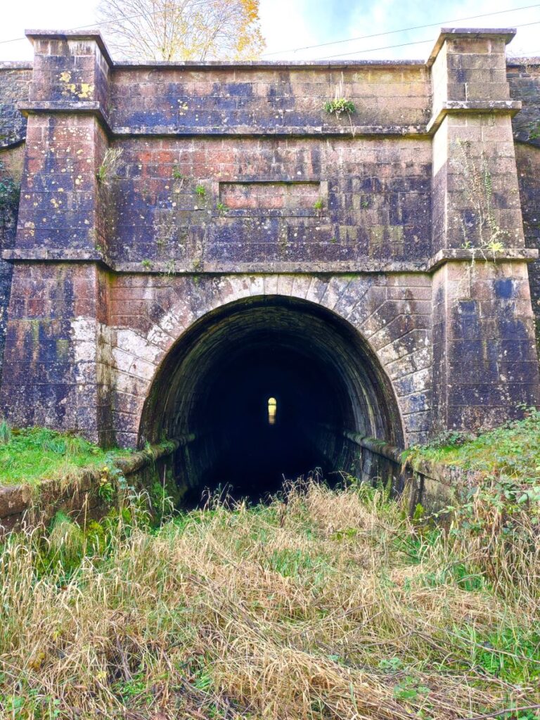
We remain parallel to the road for another 200m and then the path takes a sharp left turn – as indeed the canal once did. Ahead of us is a hill. When canals were built, there were three options for dealing with a hill, avoid by taking a circuitous contoured route around it, build locks (and a water supply to them) to take the canal up and over, or as was chosen here, bore a tunnel through it.
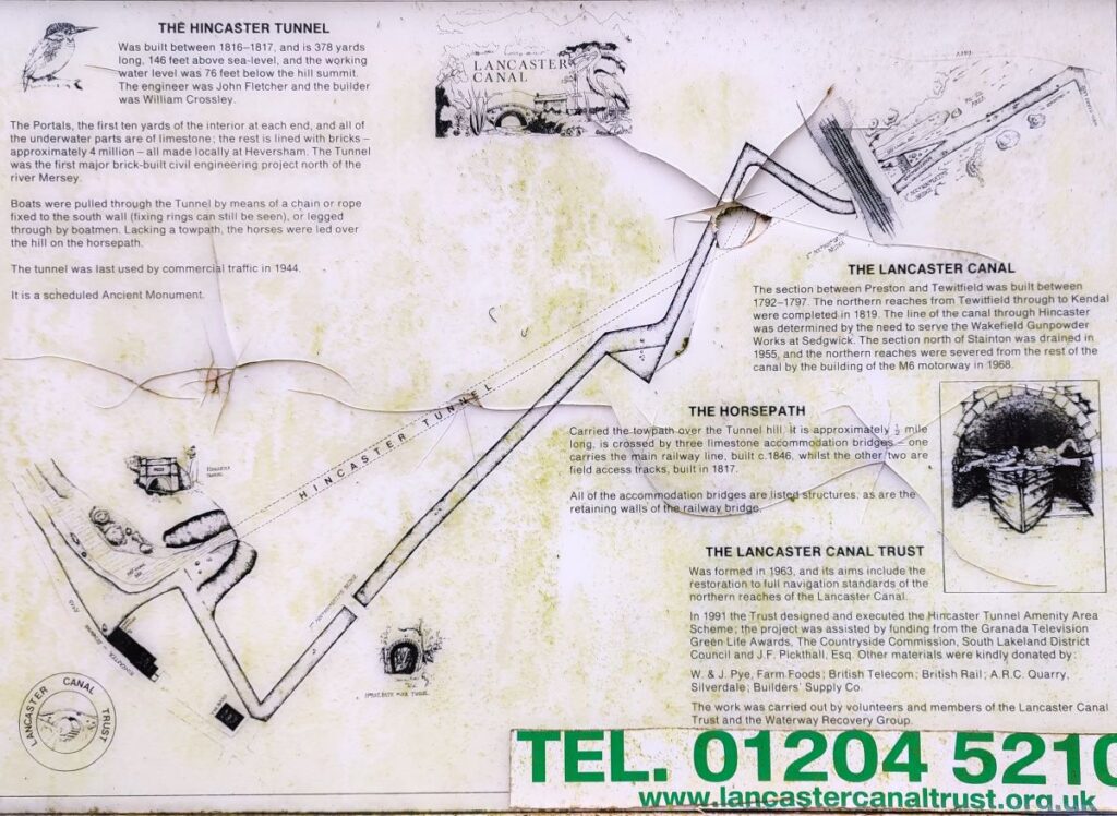
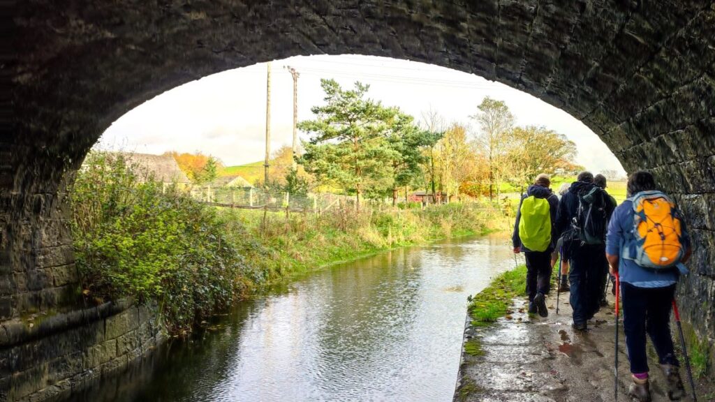
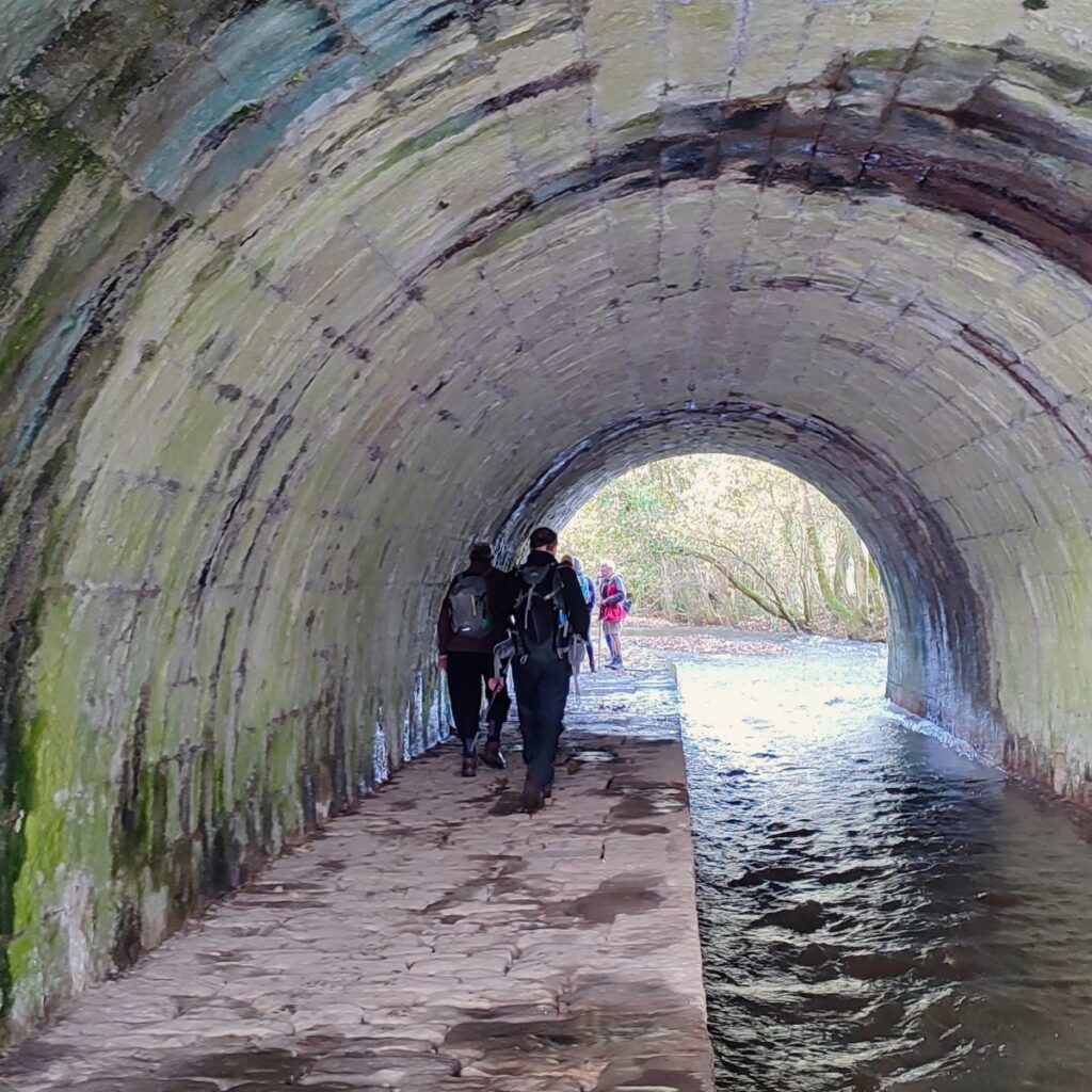
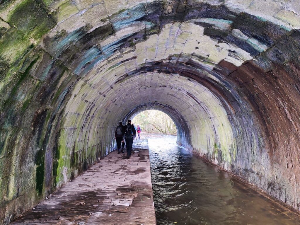
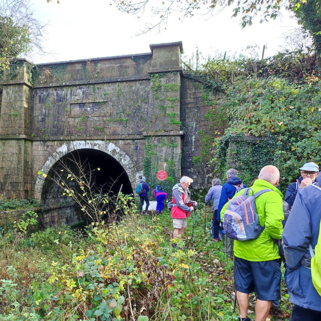
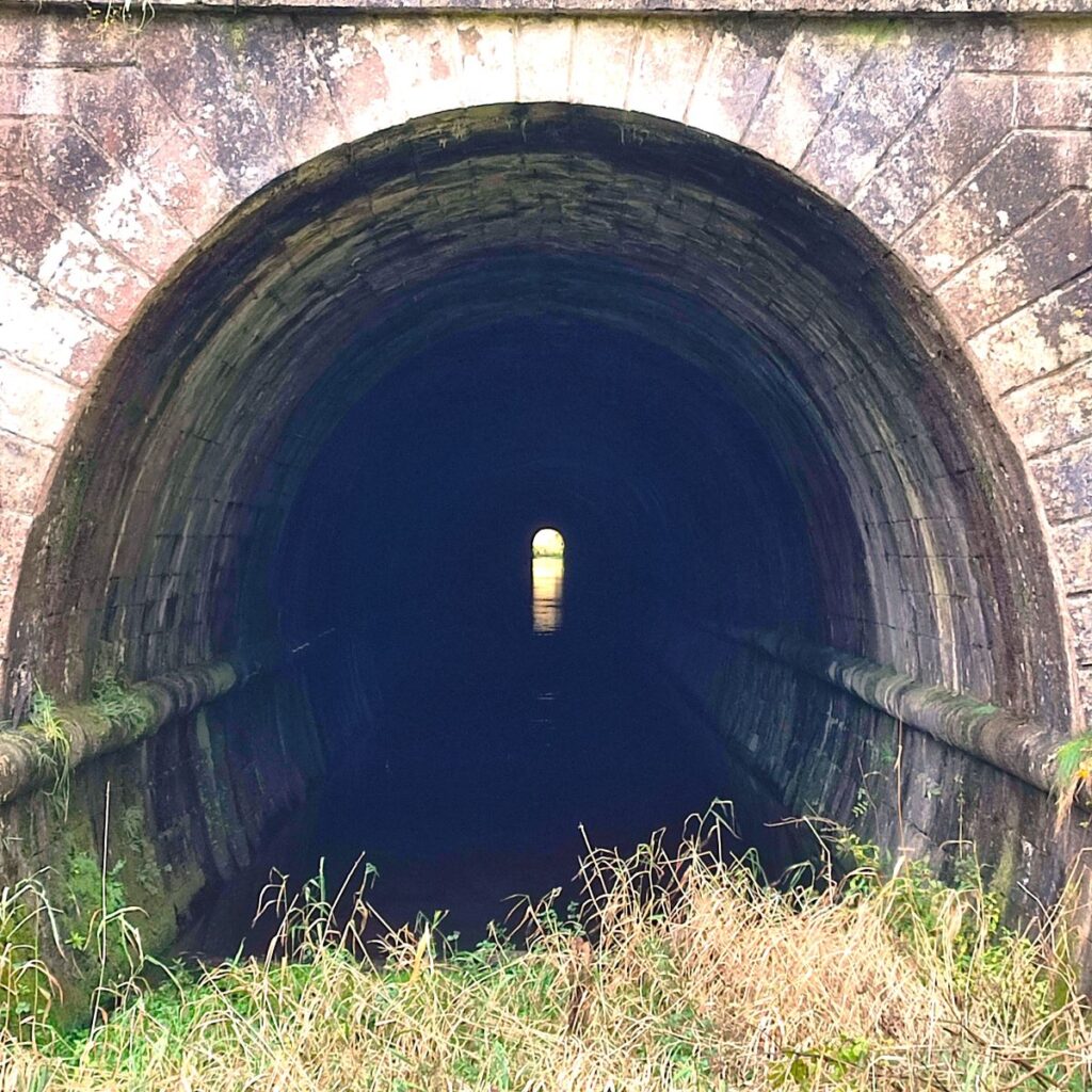
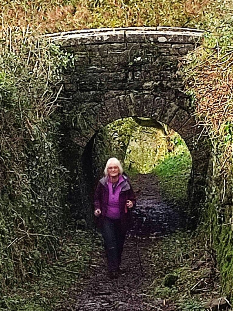
The tunnel is known as the Hincaster tunnel – the name comes from the nearby Hincaster Hall – curiously the hill that it passes through is referred to on the OS map as tunnel hill, rather suggesting that the hill did not have a specific name until the tunnel made it more noteworthy.
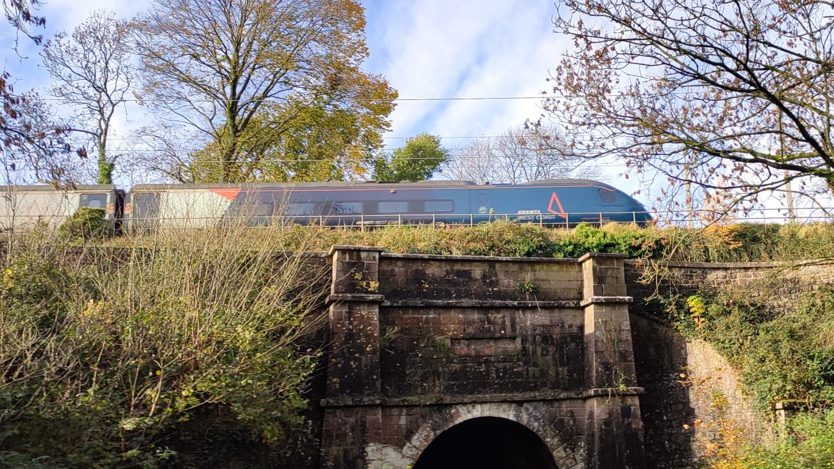
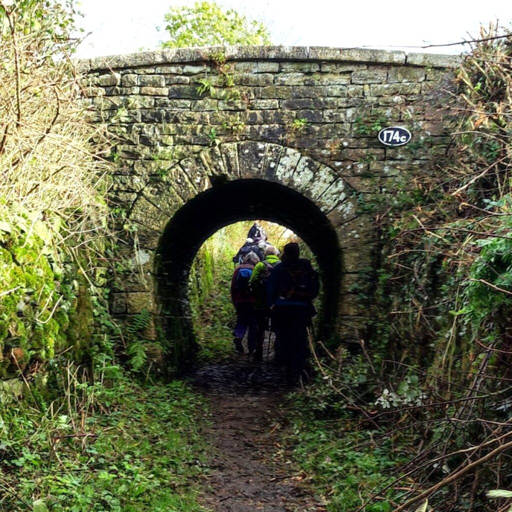
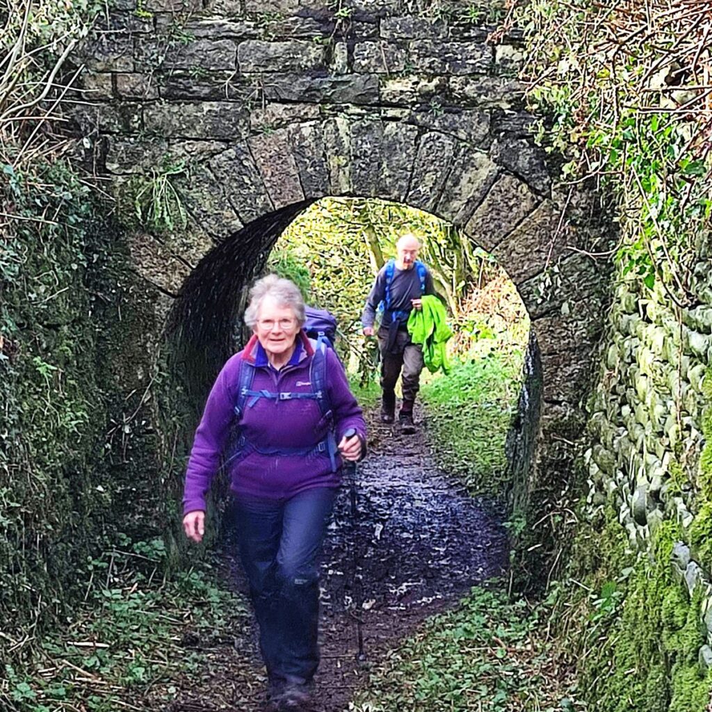
The tunnel is quite short (378 yds), and it was therefore viable to move boats through by pulling on chains attached to the side of the lining – for this reason there is no route through for either pedestrians or the horses that pulled the boats as far as the tunnel portal. To get the horse to the other side of the hill to meet the emerging boat, the canal company provided a specific access path – which is now a public footpath. That’s how we get to the other side of the tunnel – head right just before the portal and follow the path uphill, then head sharp left and follow the track over the hill, passing under a couple of bridges where a road and then the West Coast Main Line cross our route. For more detail on the tunnel, click here
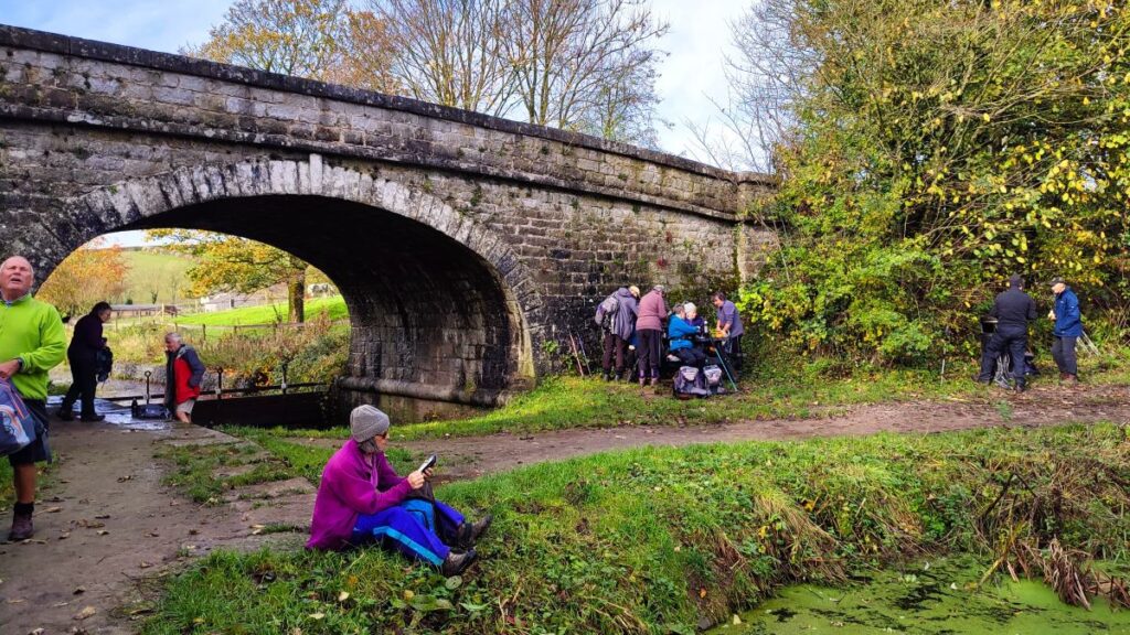
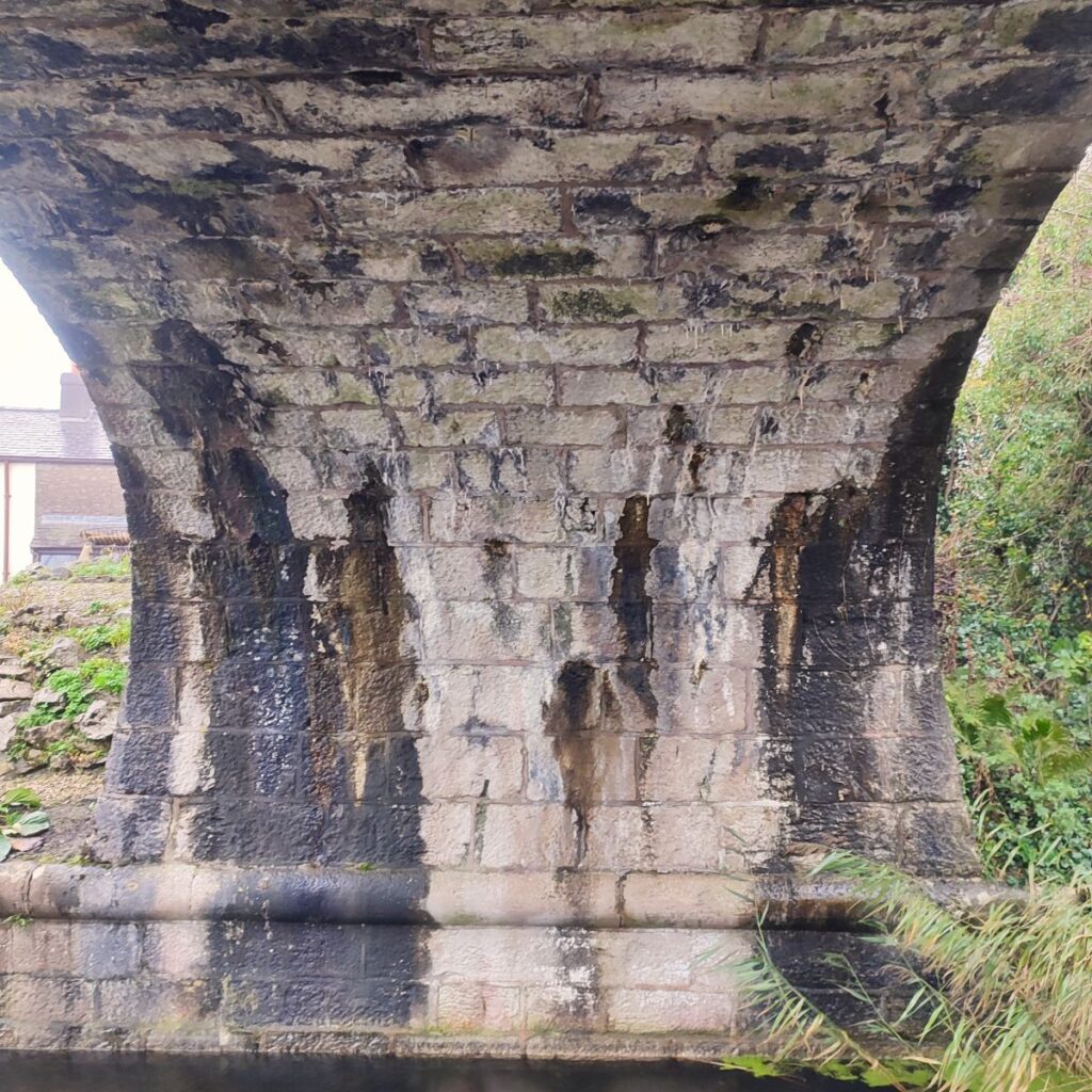
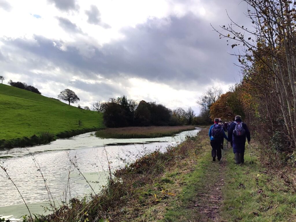
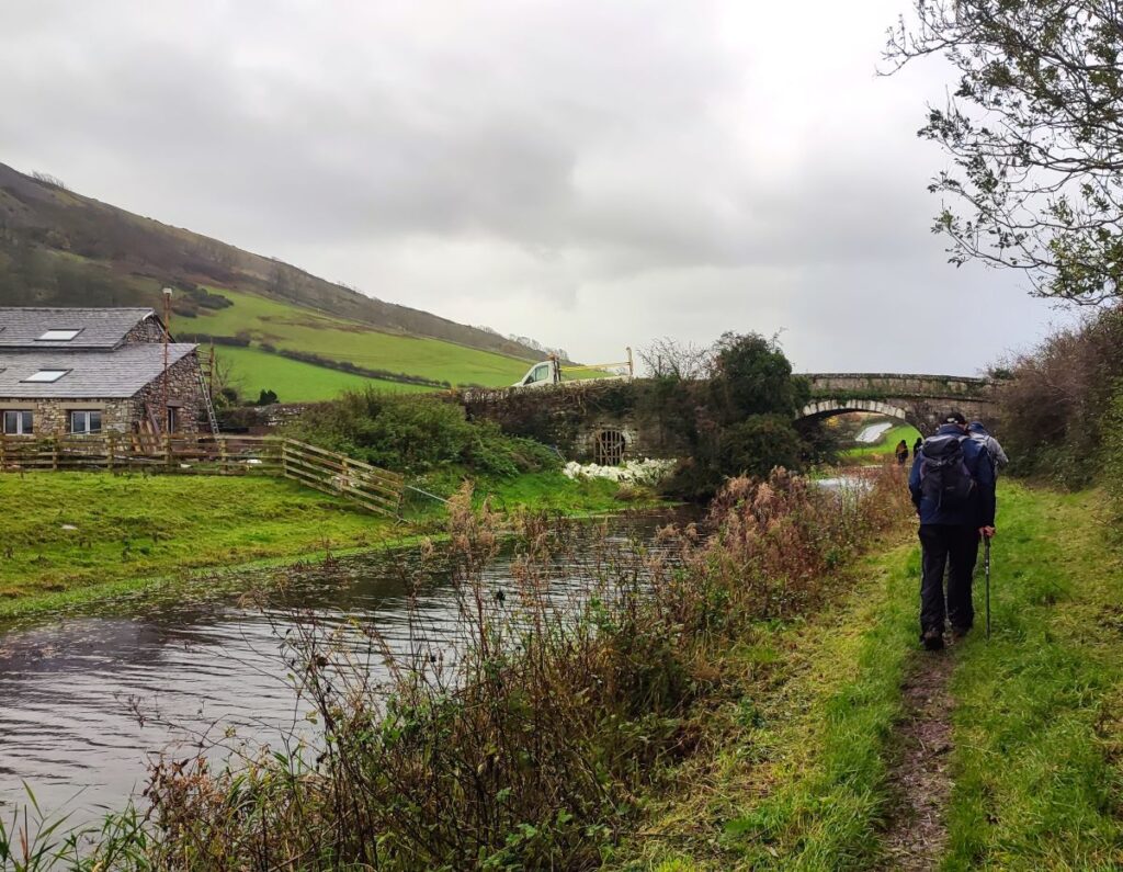
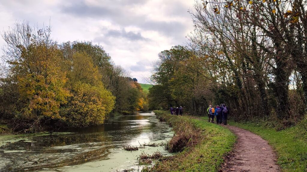
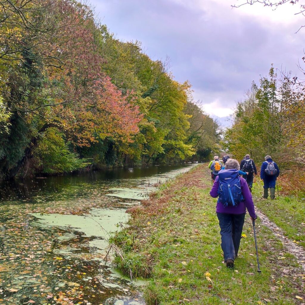
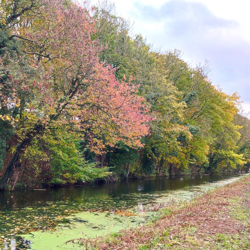
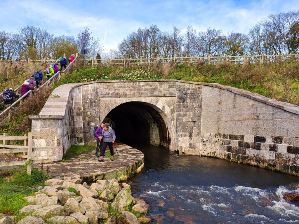
At the far end of the tunnel, the path continues down to a minor road where we turn left and walk under the busy A590. On the far side of that road bridge, the canal towpath continues to the right – still without water. We stay with the towpath on what would have been the right hand bank of the canal until we get to a road bridge which marks the end of the water filled section – this is a good place to take a break.
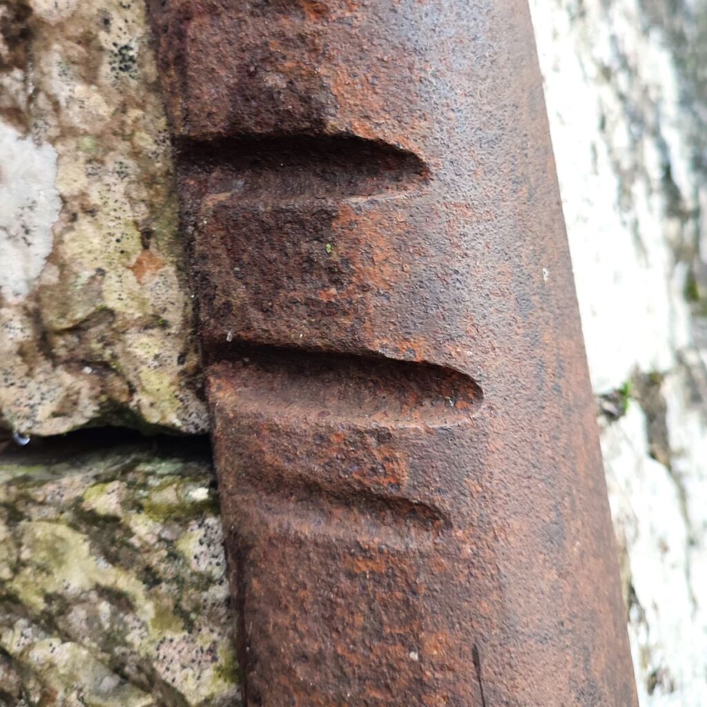
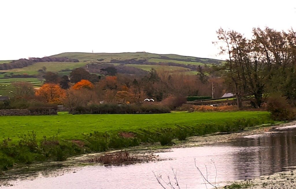
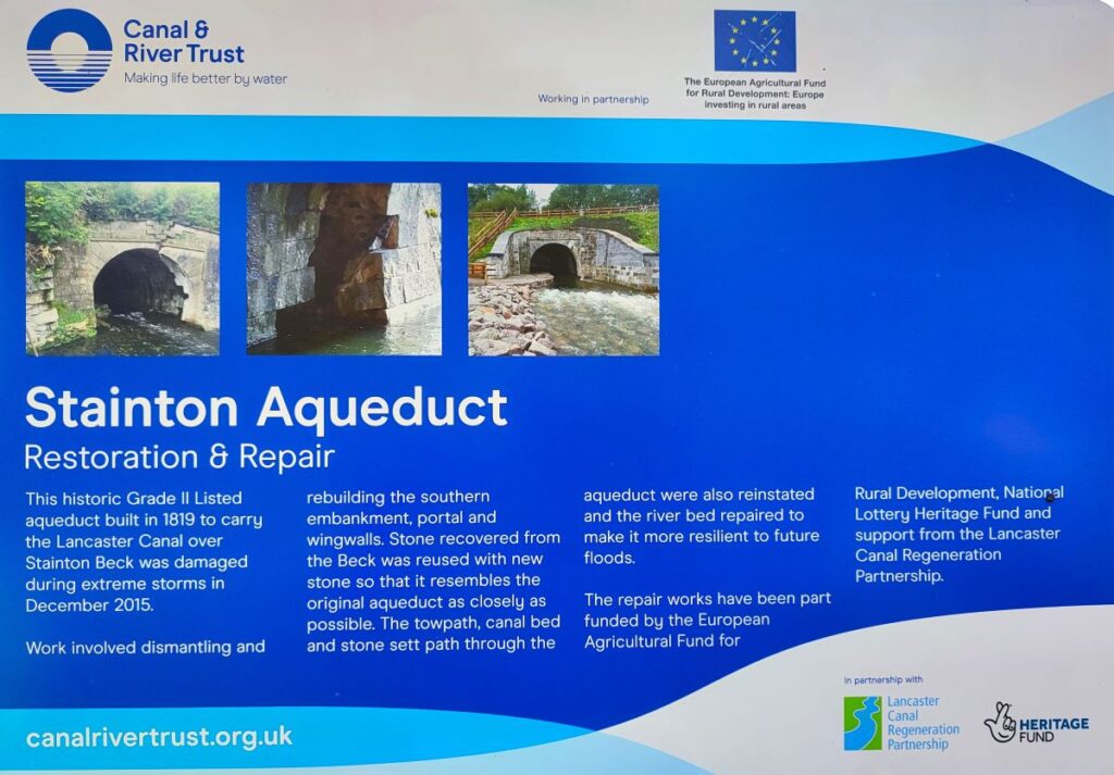
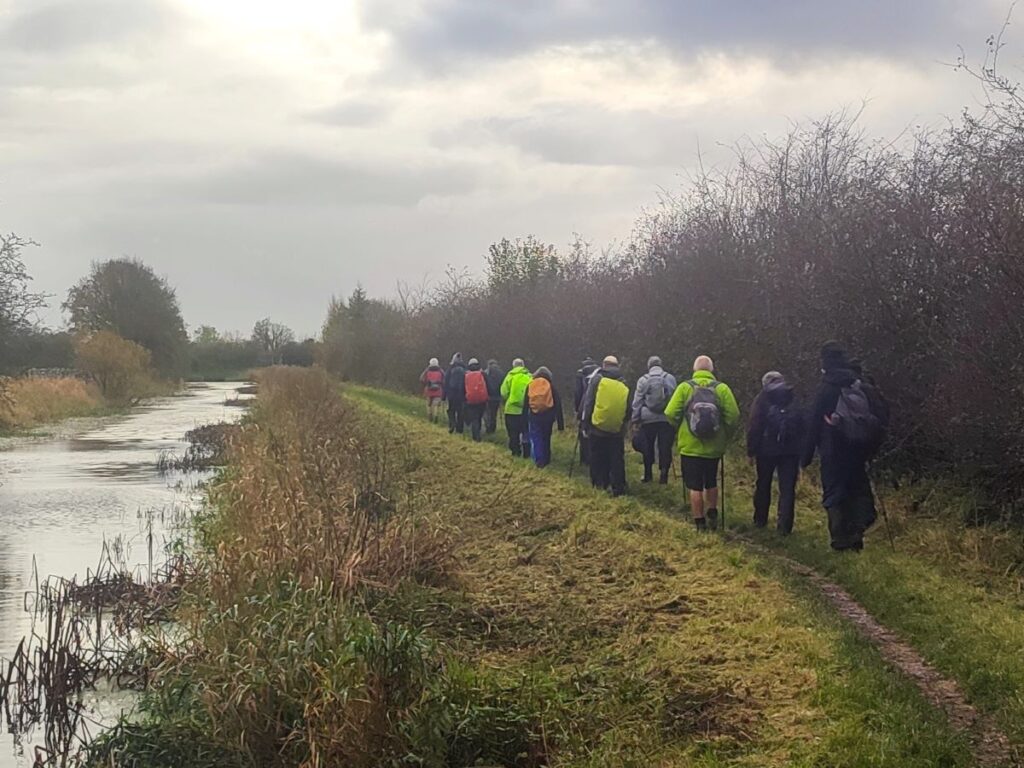
The towpath continues, and we follow it for a good while now. There is much to see, and within just 200m we find our next landmark – the Stainton Aqueduct. This is a short aqueduct that carries the canal over a beck. It is not particularly noticeable from the canal bank but became quite well known in 2015 when part of the structure collapsed due to storm flooding, requiring a £2.2 million pound repair. There is now signage at the towpath and a path down – the repair is now complete and to an excellent standard. For more details of the works, click here
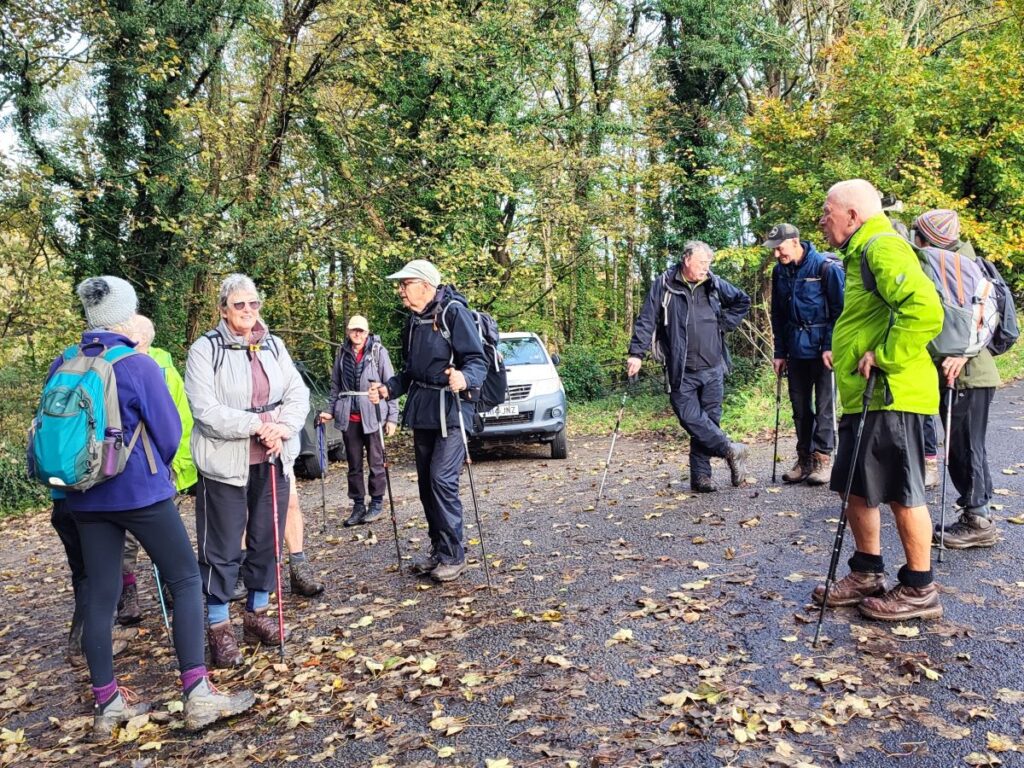
Back at the towpath we head right again. We pass the agricultural show ground on the right, and then approach Crooklands – a good place to stop for lunch.
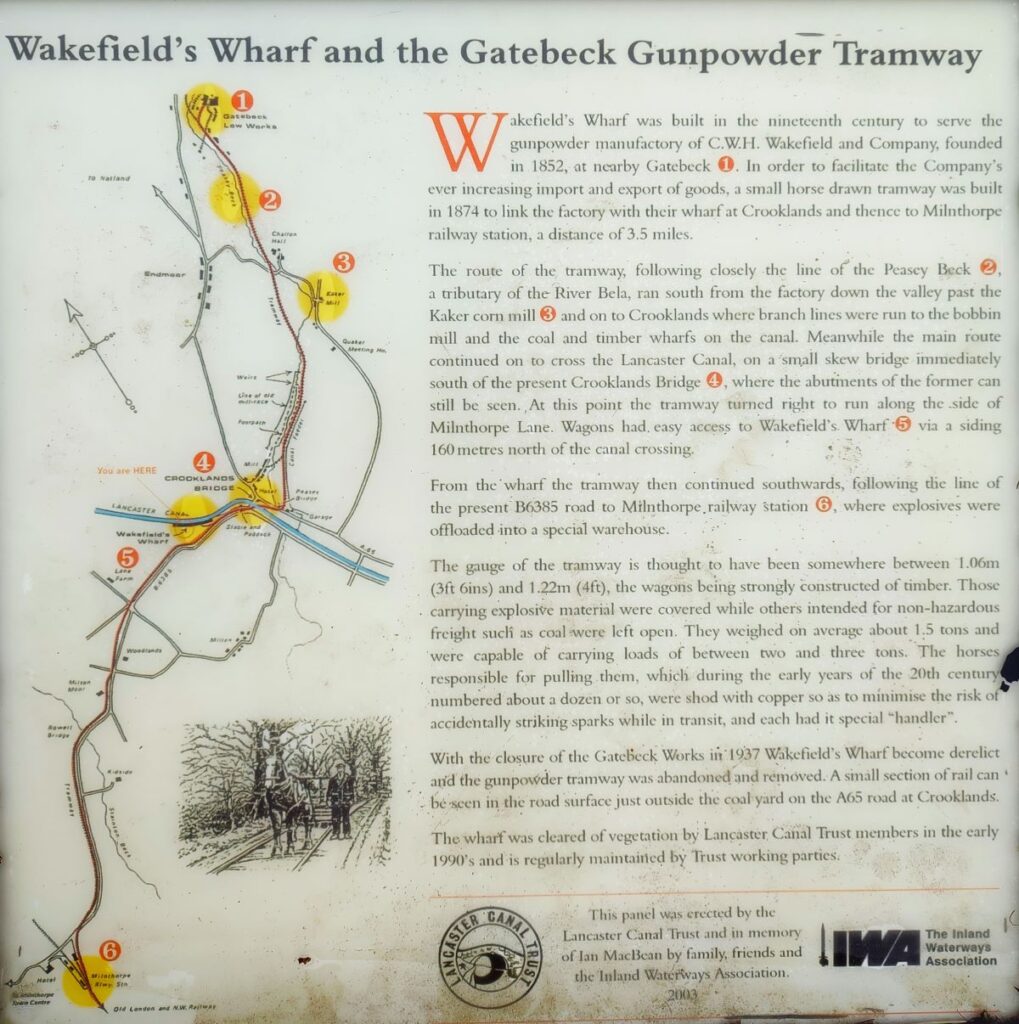
Just before we get there though, we find an interpretation board that explains why the canal took this particular route – one of its main users was the gunpowder works that used to be located at nearby Gatebeck. The works belonged to C.W.H Wakefield, and a docking area referred to as Wakefield’s Wharf was built on the canal: the works and the wharf were connected by a tramway using horse drawn wagons to convey the raw materials to the works and the explosive back to the canal. For a detailed history of the gunpowder industry and its relationship to the canal, click here
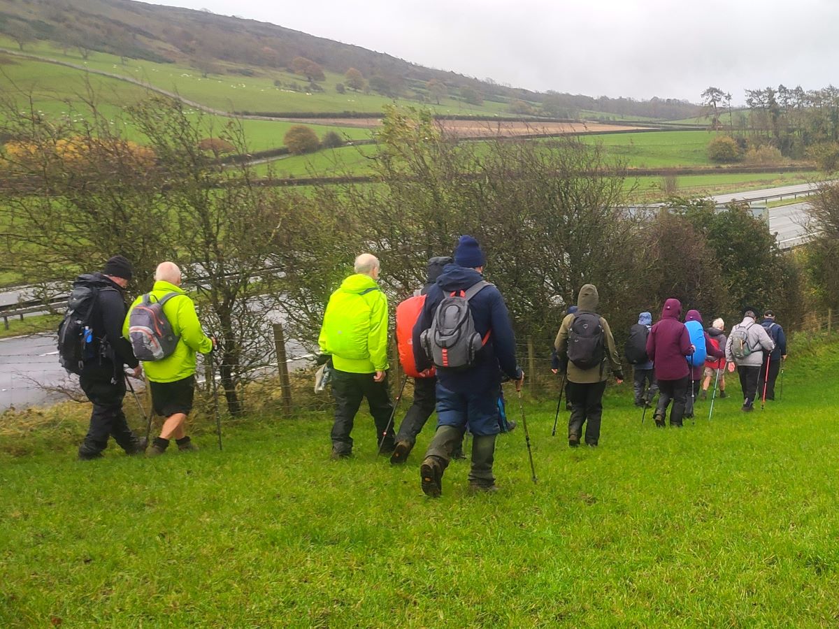
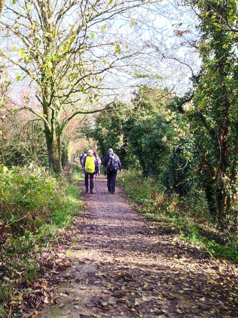
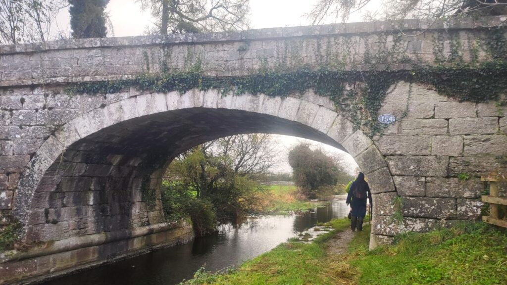
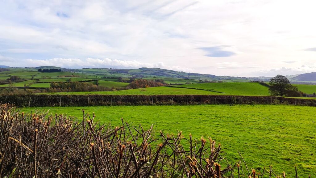
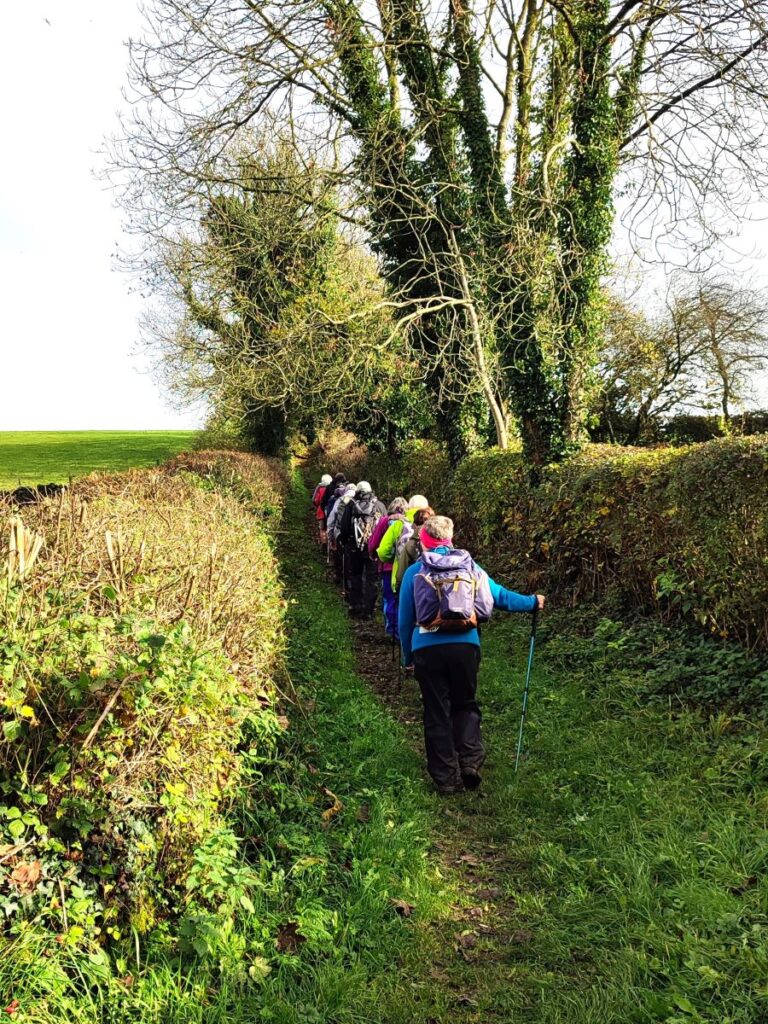
The towpath continues South now, until we get to the M6, where we pass underneath, sharing a path with the A65, before returning to the towpath beyond the motorway. The canal continues and we stay with it as it goes under the A65 and enters a more rural landscape, with great views to the left of Farleton Knott. As we progress, the canal gets nearer to the busy M6 again, and in fact the motorway again crosses over the canal. In this instance however, the canal has been culverted and there is no right of way, so walkers following the canal route need to leave the towpath at bridge number 155 (Dukes Bridge) and take the minor road over the motorway. On the far side there is a well signed path through a field at the side of the motorway embankment back to the towpath.
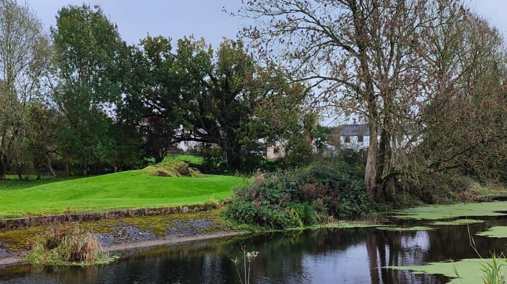
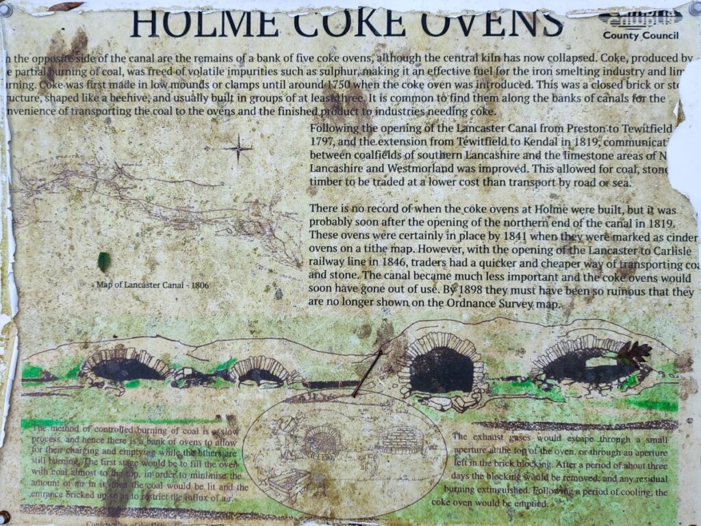
We stay with the canal almost to the end of the walk now. Passing the housing of Holme on the right, we arrive at further signage explaining the remnants of coke ovens that we can see with the garden of a house on the far side of the canal.
Relatively little is known about the coke ovens, but the most likely reason for their existence here is to provide coke to iron works in the area. Coke is derived from coal and is preferred in iron and steel manufacture because the impurities such as sulphur which are present in coal have been removed by heating in the absence of air – this makes the resulting iron purer and therefore stronger.
We press on and our next landmark is bridge number 148 – we leave the canal here to join the minor road which we follow uphill and back to the layby where we started.
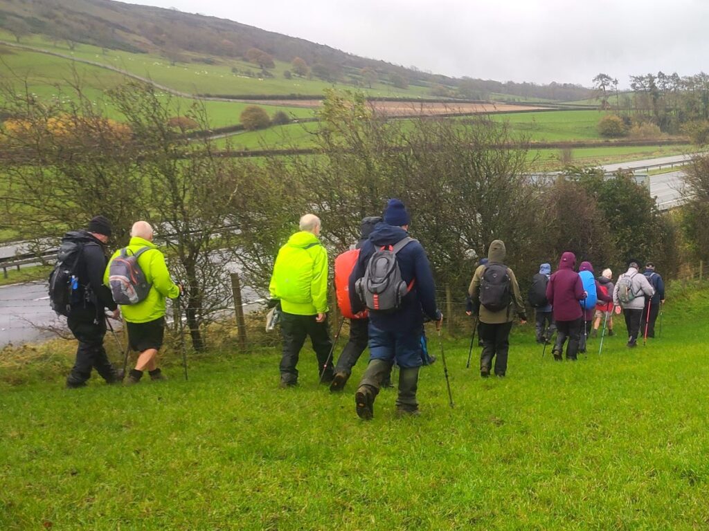
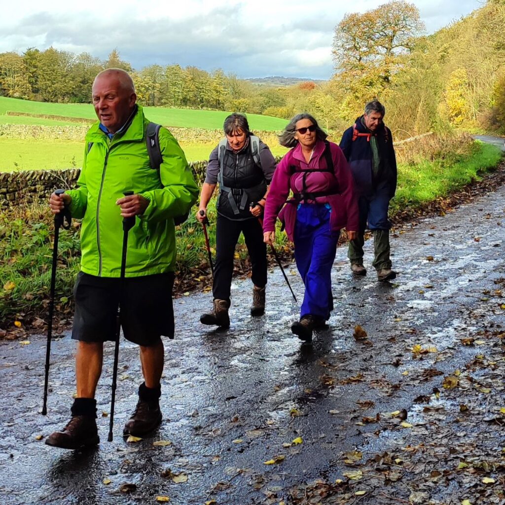
This walk is wellover 12 km so we define it as “moderate” but those who favour our easy walks should note that there are no steep sections, and under dry conditions the paths are generally easy going.