Jump to . . .Step by Step | OS Map | Downloads | Gallery | Fly through
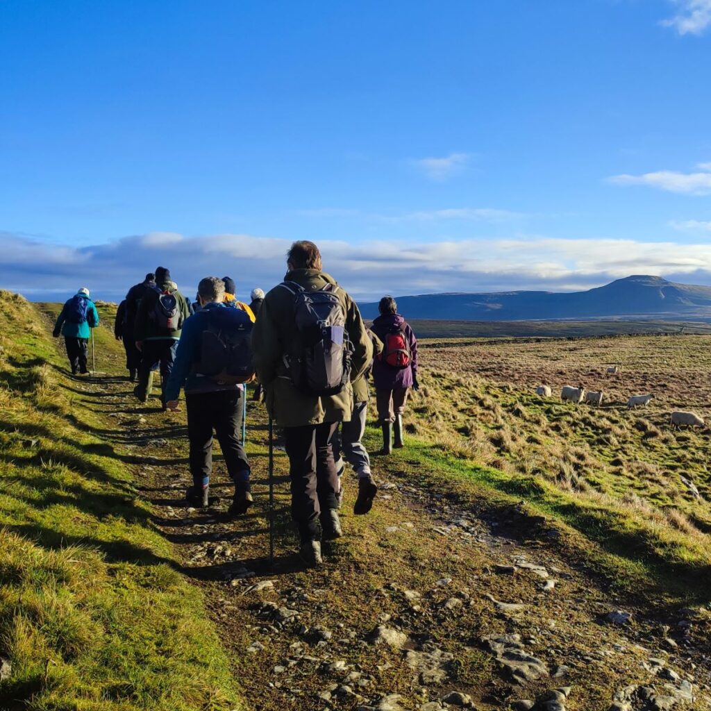
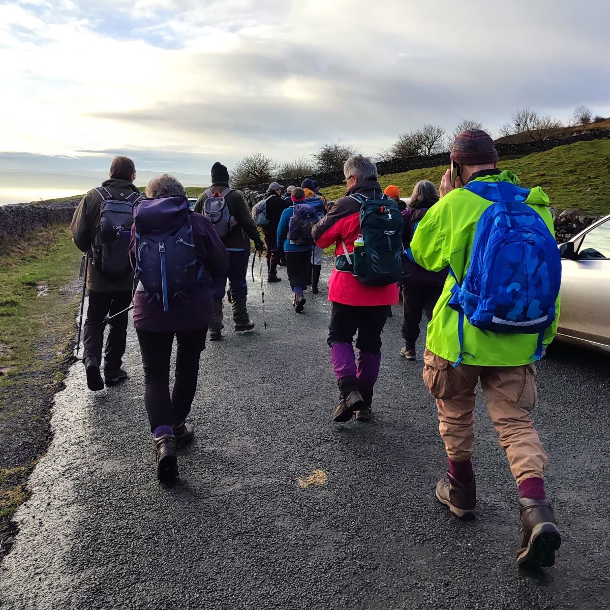
Walks for the Bentham Footpath Group are planned in four month programmes – which means that the date of this walk was fixed in September 2023. It could easily have been the case then that we encountered miserable rain with poor visibility whilst sliding around in ankle deep mud.
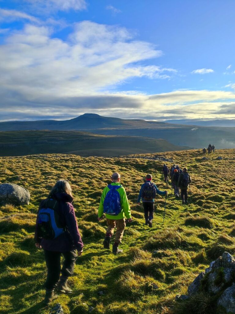
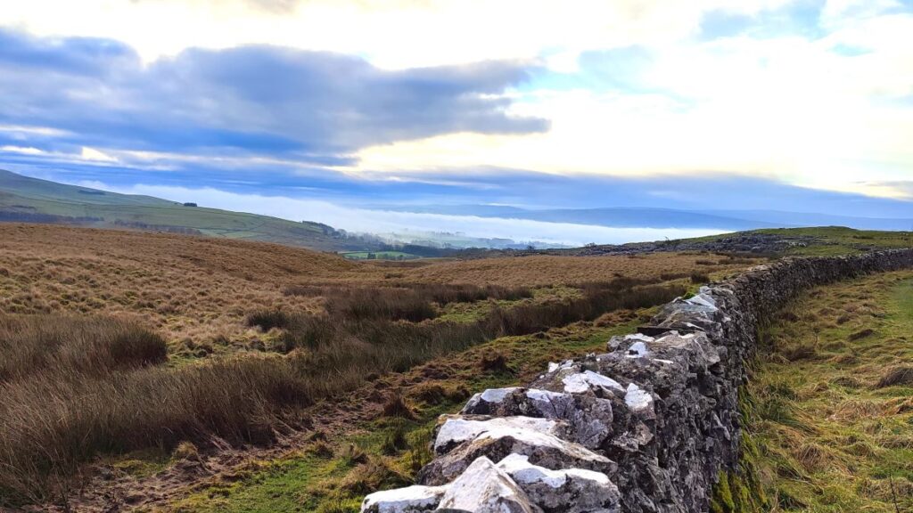
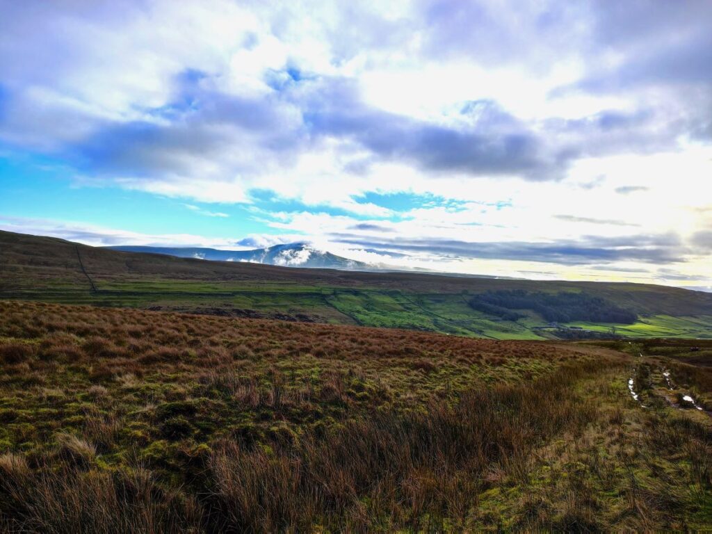
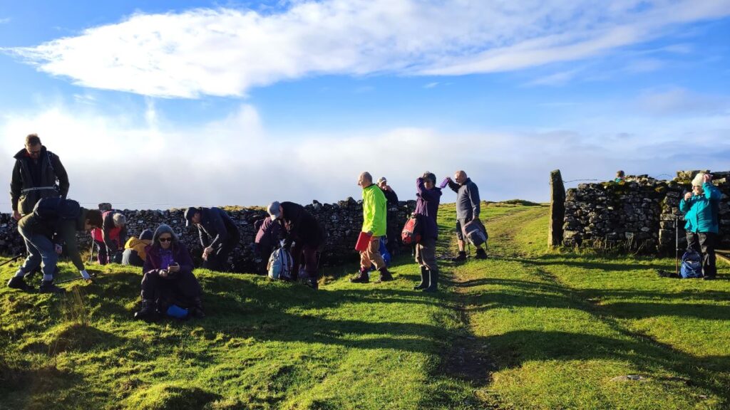
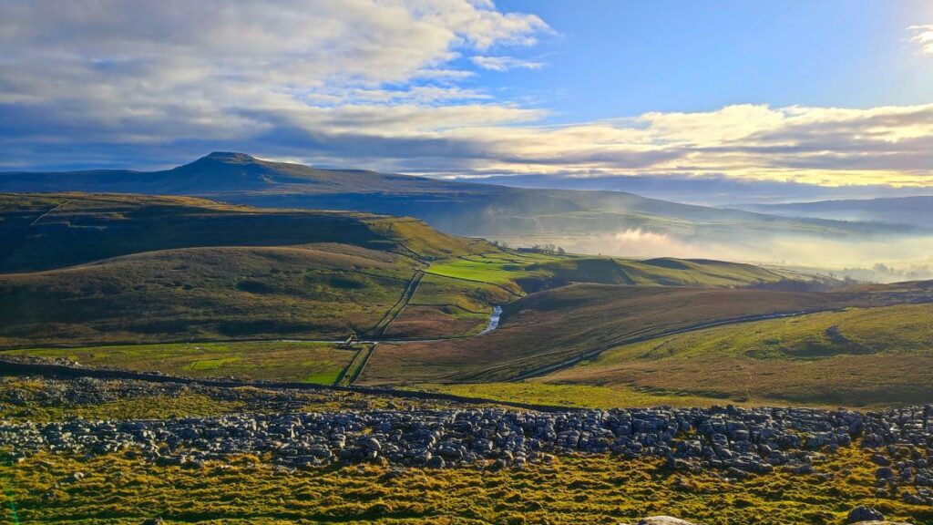
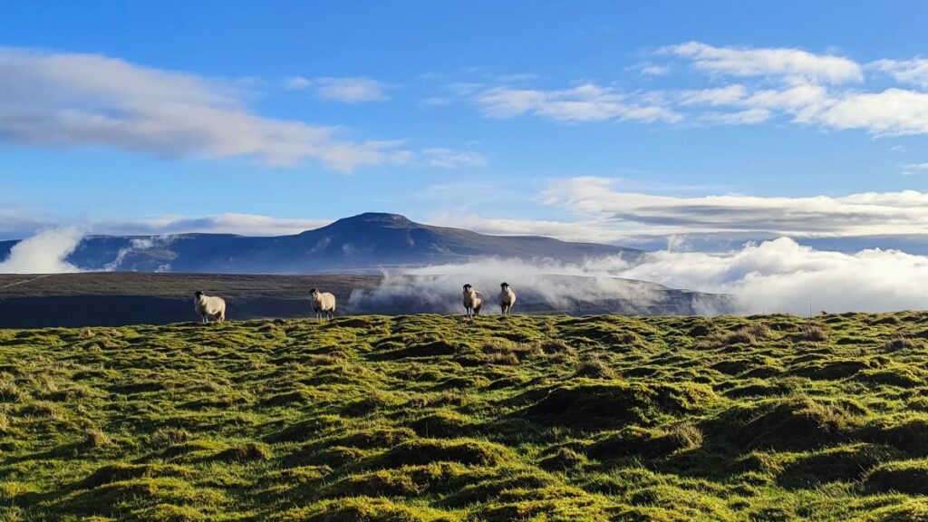
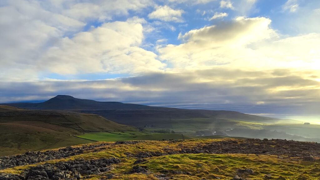
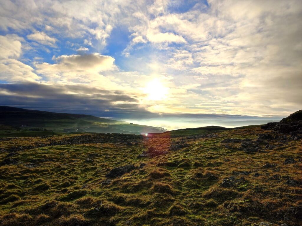
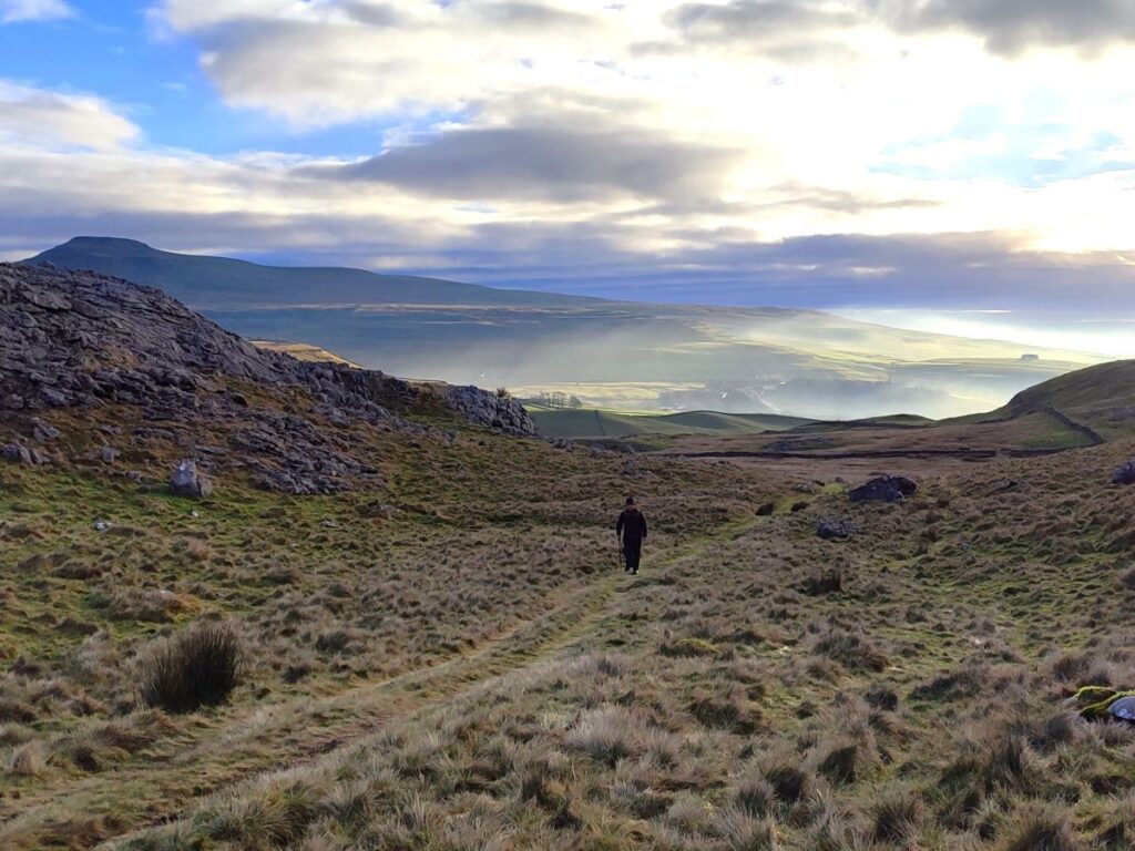
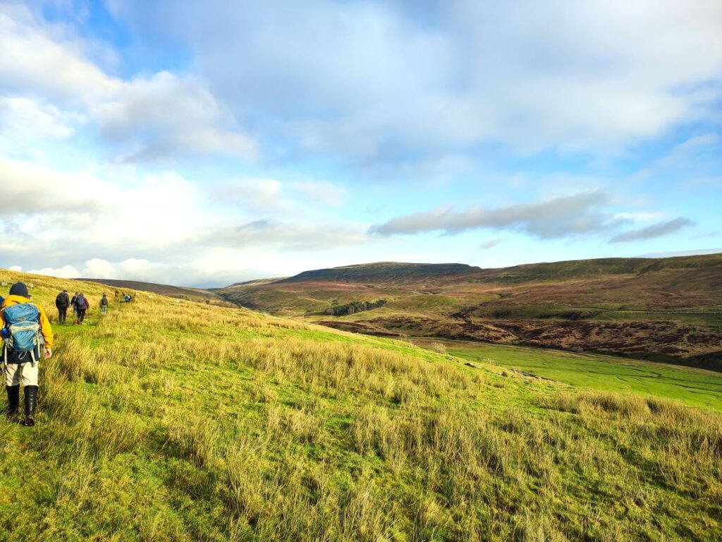
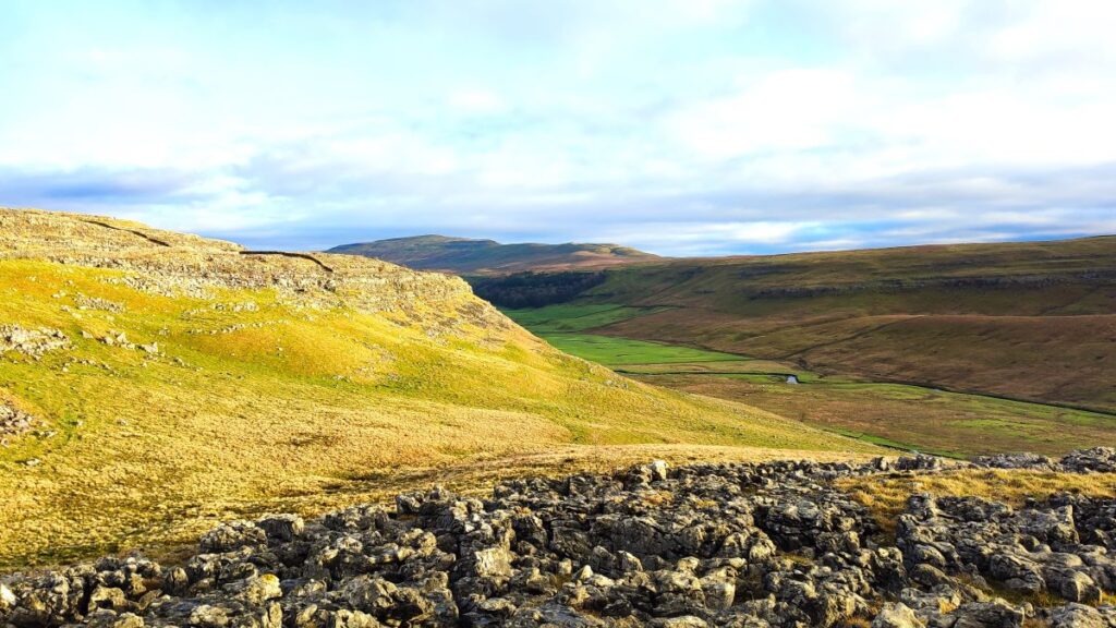
But we were lucky – we could not have had a better day for the start of 2024 – bright sunshine and clear air on the tops and atmospheric inversion clouds in the valley bottoms were even more beautiful than the pictures convey. Add potholes, caves, natural fountains, ancient monuments, and informed guides, to make for a perfect start to the new year.
If you are following our route, please be aware that Yordas cave is safe to enter as long as you have a good torch, waterproof footwear, and stay away from the waterfall.
- Total distance 12.8 km (8.0 miles)
- Total ascent 337 m
- Moderate walk
Step-by-Step
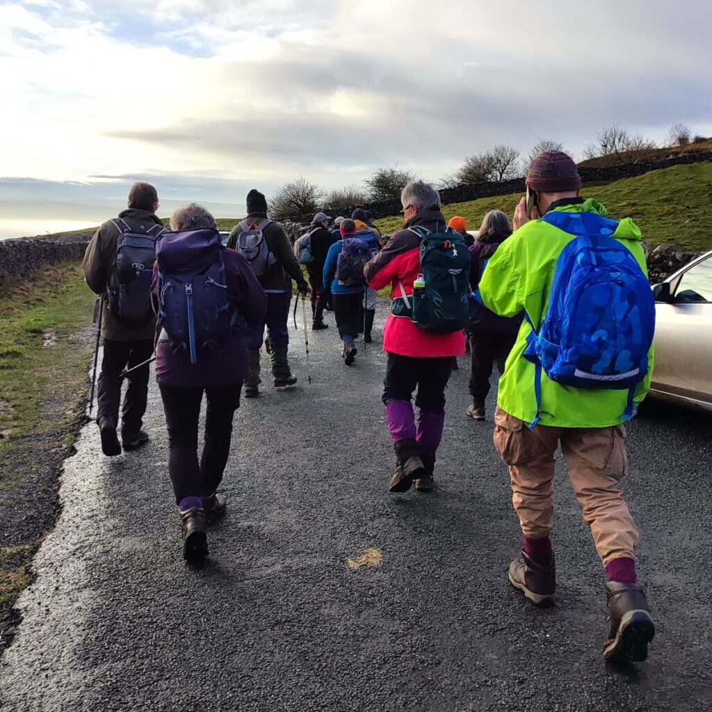
We start from a lay-by at the side of Thornton Lane in Kingsdale. From the A65, drive into Thornton in Lonsdale and then at the junction where St Oswald’s church and The Marton Arms sit, head uphill (north) toward Dent. Continue for 1km and note a lane on the left leading to a very visible communications tower, and then continue for another 400m. The layby is on the left. The What-3-Words tag for the location is internet.package.intervene and the OS Grid reference is SD69117566. If you are using Satnav to get there, then the postcode is LA6 3PJ – but that obviously covers a large area so try adding “Thornton Lane” if your device allows that.
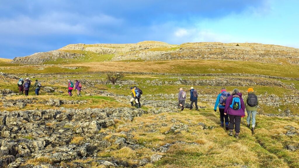
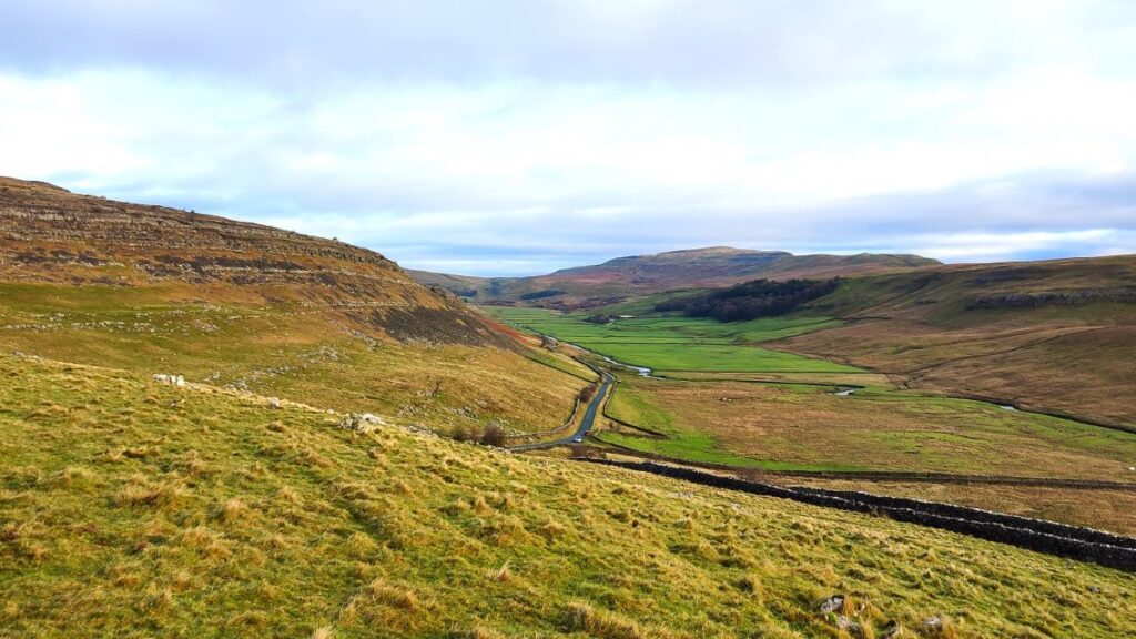
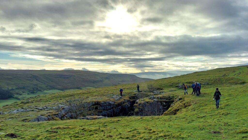
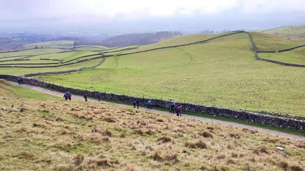
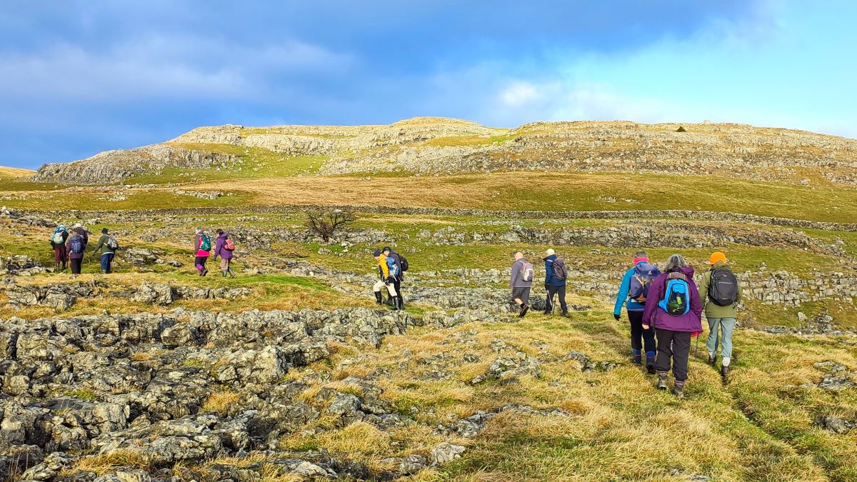
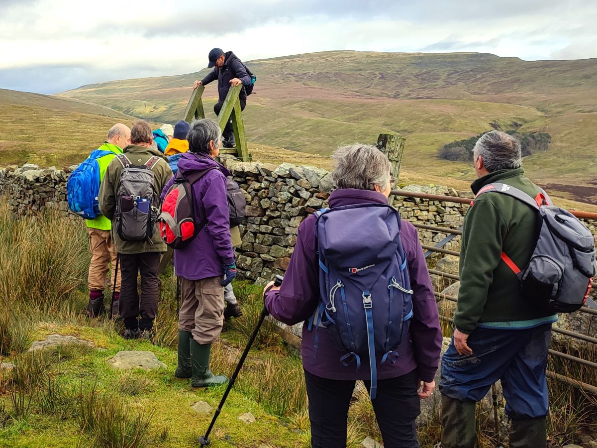
From the layby, look for the gate and an obvious track uphill past a derelict building to the west of the road. We are heading generally northwest for the first part of the walk, but the terrain is such that the track takes a zig zag route to avoid the steeper terrain. We are heading for a point where the track passes through another gate just 400m from our start, but there are many routes through the limestone scars here and we chose a commonly used route that is not specifically marked as a path on the OS map – so follow our GPX, the track, or have your own adventure.
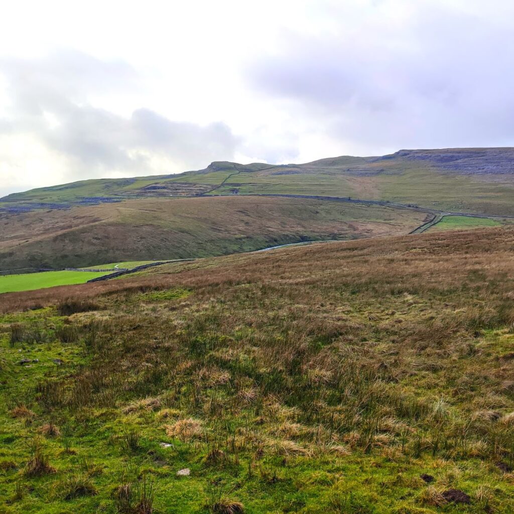
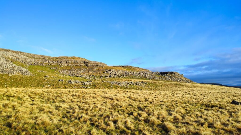
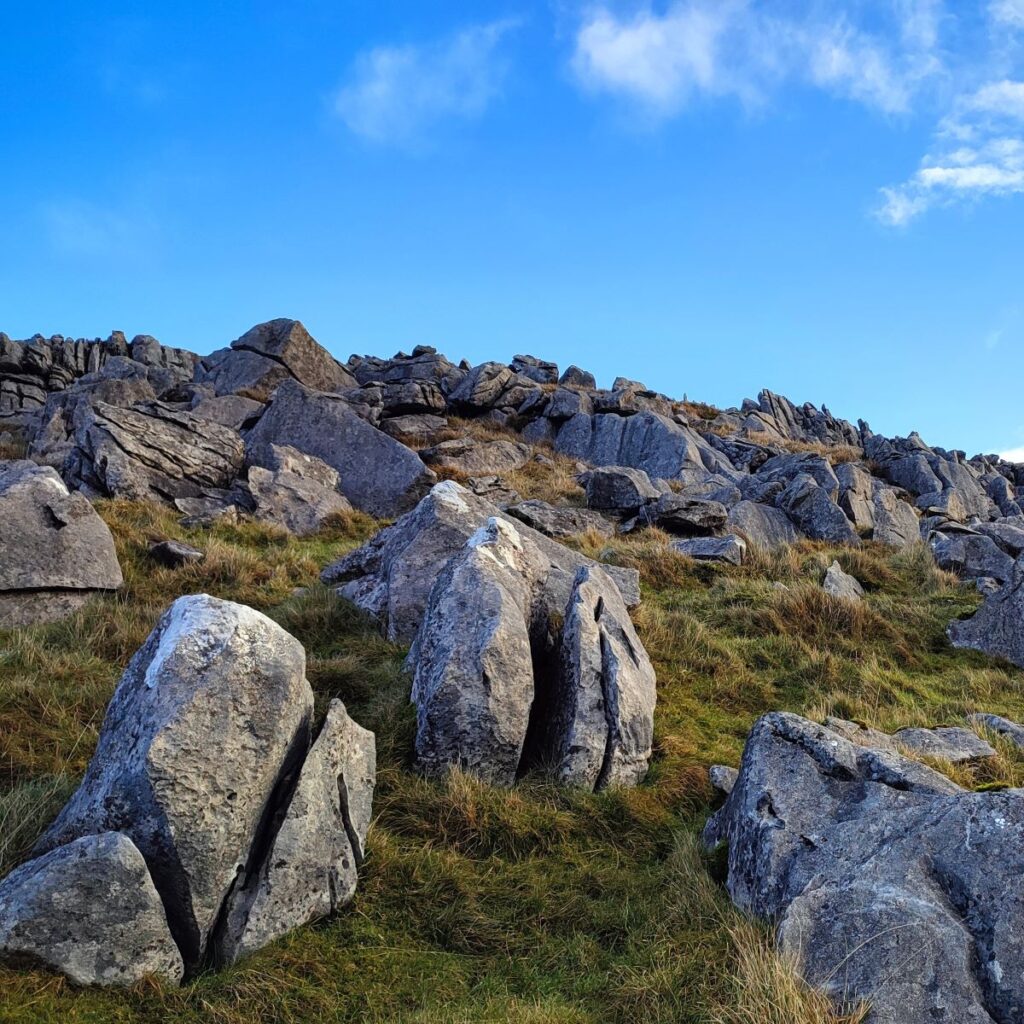
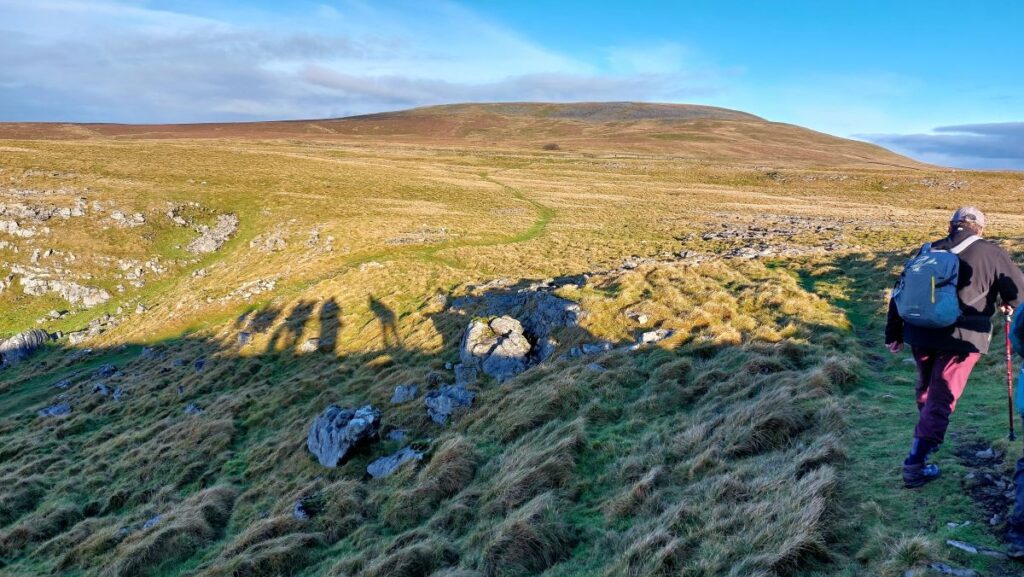
Once you come to the gate, you will see a clear track ahead heading northwest – we are following a dip between the limestone plain on our right, confusingly called low plain, and a scar on the left called Tow Scar where there is a trig point at 383m – a short diversion for those who like to collect them.
You may also encounter groups entering or exiting potholes in this area – the whole of the limestone area to the west of Kingsdale is criss-crossed with potholes, and underground systems. We pass within a short walk of a number of these. Their names often reflect the somewhat dark humour of potholers – Broken Rib pot, Creaking Death pot are in this area along with the more optimistically named Hunt’s pot, Tow Scar cave, North End pot and Mothering Sunday pot. None are easy to find without prior knowledge, and none should be entered without expert knowledge: To find out more, visit the Norther Caves website by clicking here
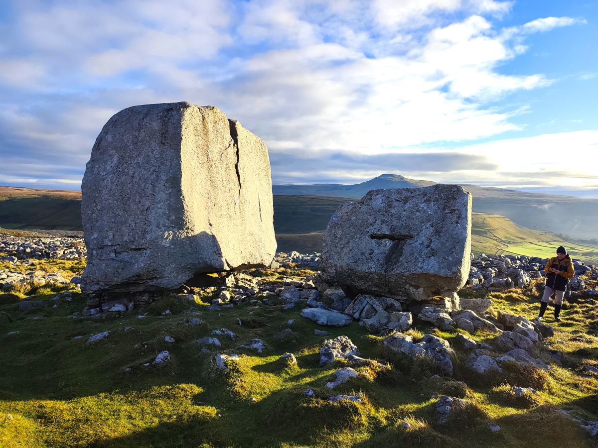
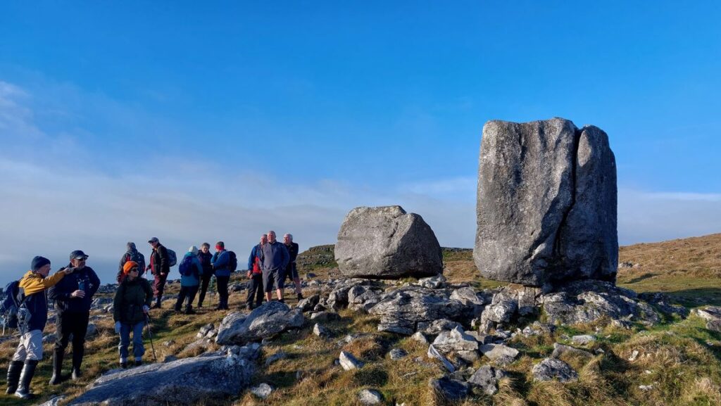
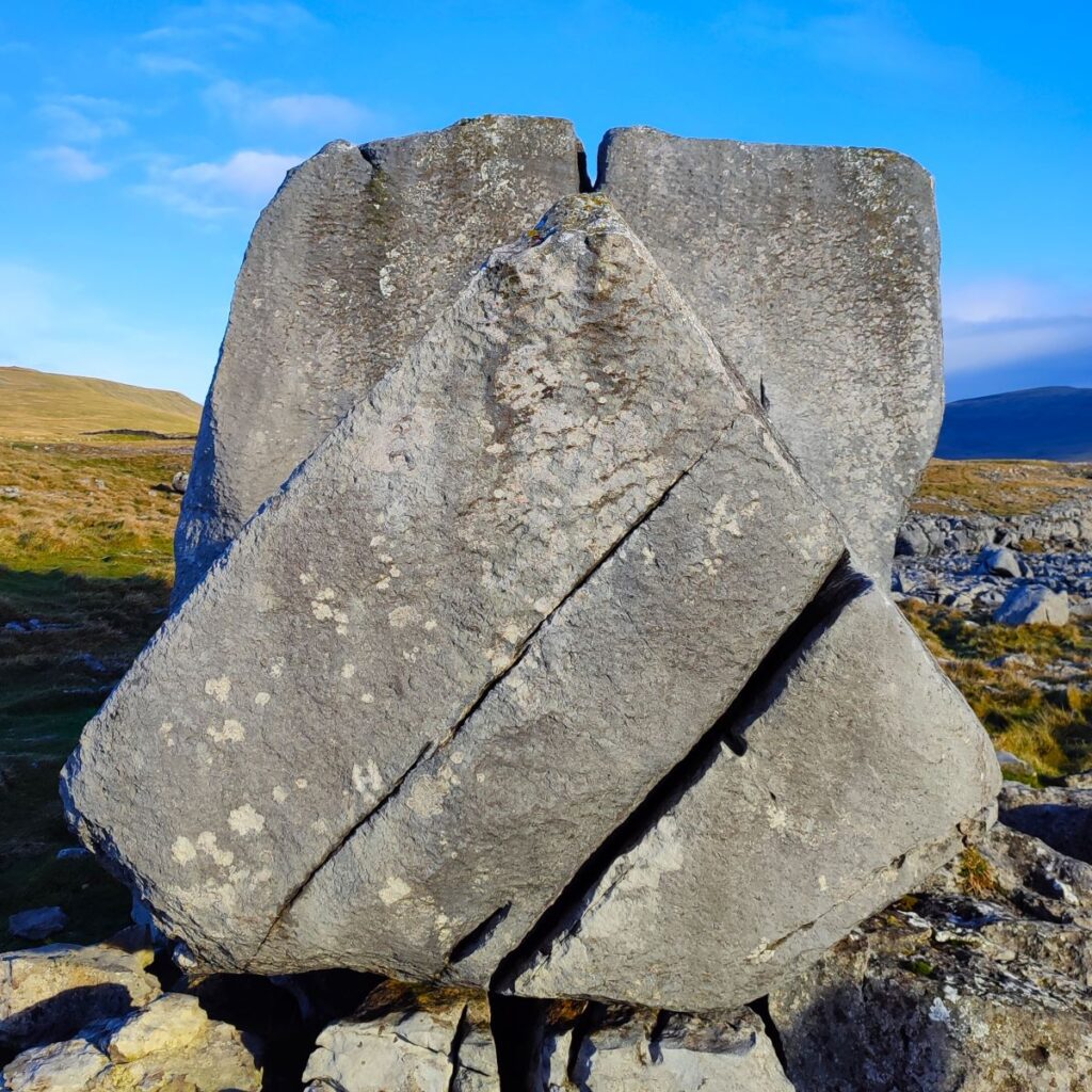
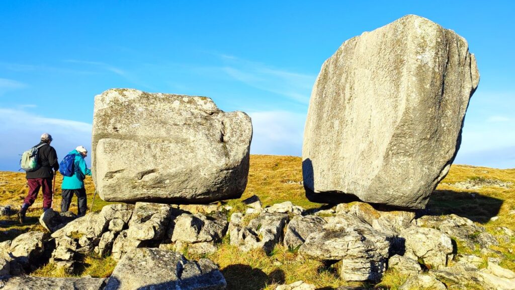
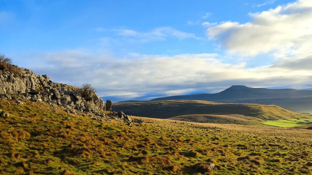
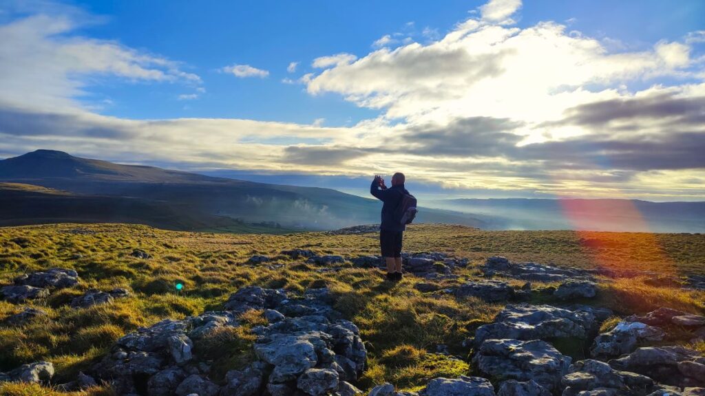
The track soon bears round to the right and climbs to the top of Low Plain, and about 100m after we start to head north, we need to look for a smaller (unsigned) path on the right which heads over the flat top of the plain to the Cheese Press stones. If the route is unclear – aim for Ingleborough and you will soon see the stones. Their name reflects the old practice of pressing freshly made cheeses to expel excess whey – obviously these particular stones were not used as such and were deposited by retreating glaciers in the last ice age. On a clear day we have fantastic views from here down the Lune Valley, over to Ingleton and Ingleborough, up Kingsdale and over to Gragareth.
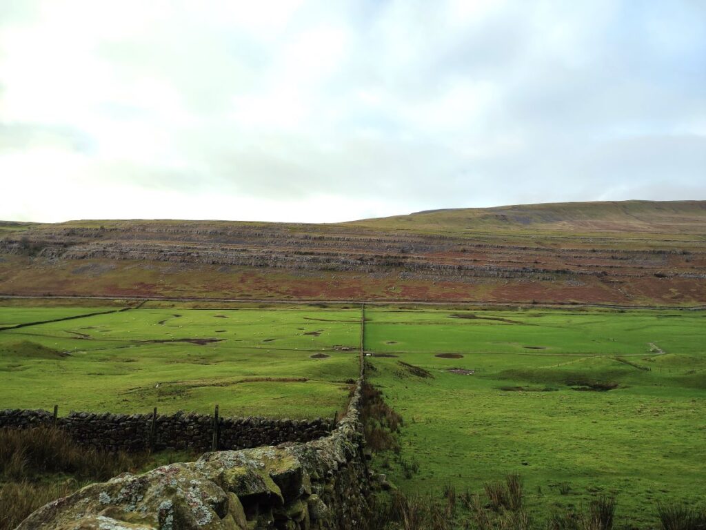
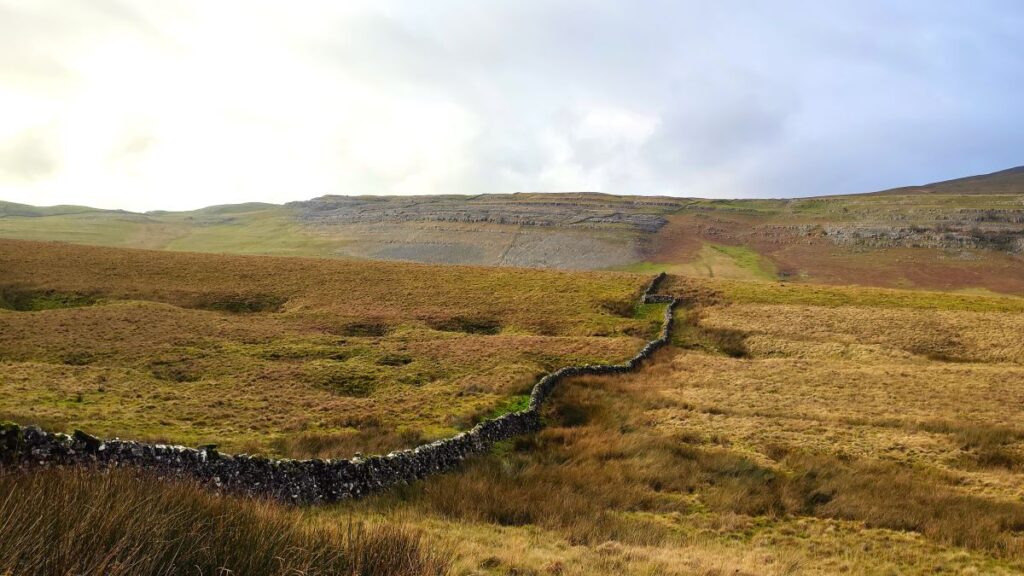
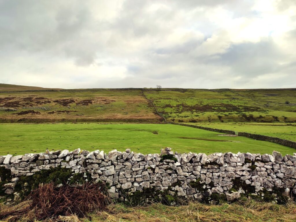
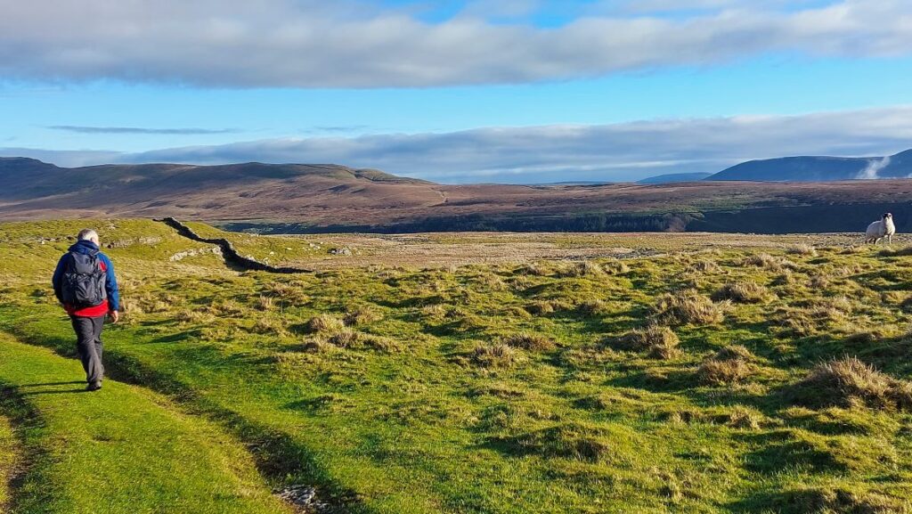
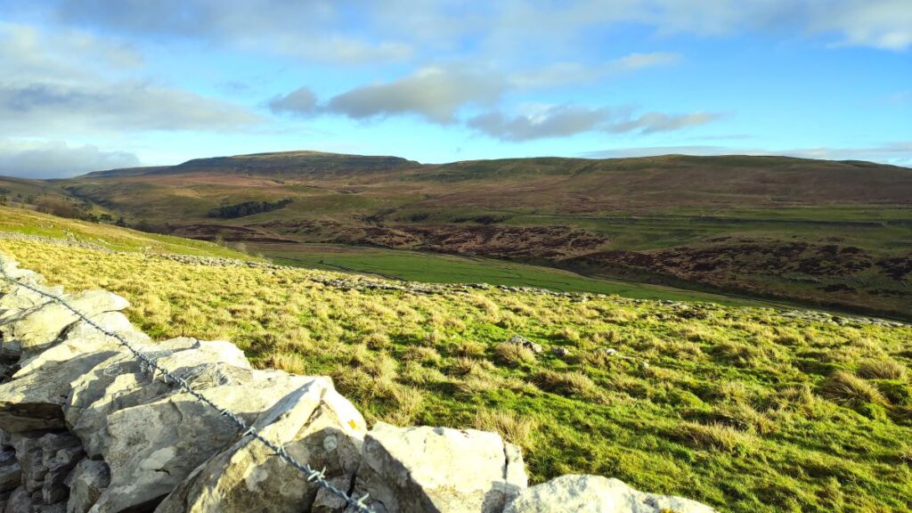
Having paused at this rather magical place, we retrace the route back to the top of Low Plain, where we continue North for a further 250m, until we approach a drystone wall with a clear track in front of it – this is the Turbary Road, that the walk is named for. But what does Turbary mean?
Turbary is derived from the Anglo-French turbarie and shares its origin with the Germanic turf: It means a right to cut peat for fuel, so the Turbary Road was the route to peat cutting locations. The right to cut was granted to persons other than the landowner, and Turbary rights, are more fully expressed legally as “common of turbary”.
The location of the peat cutting is no longer visible, but the name lingers as a reminder of these ancient rights of way.
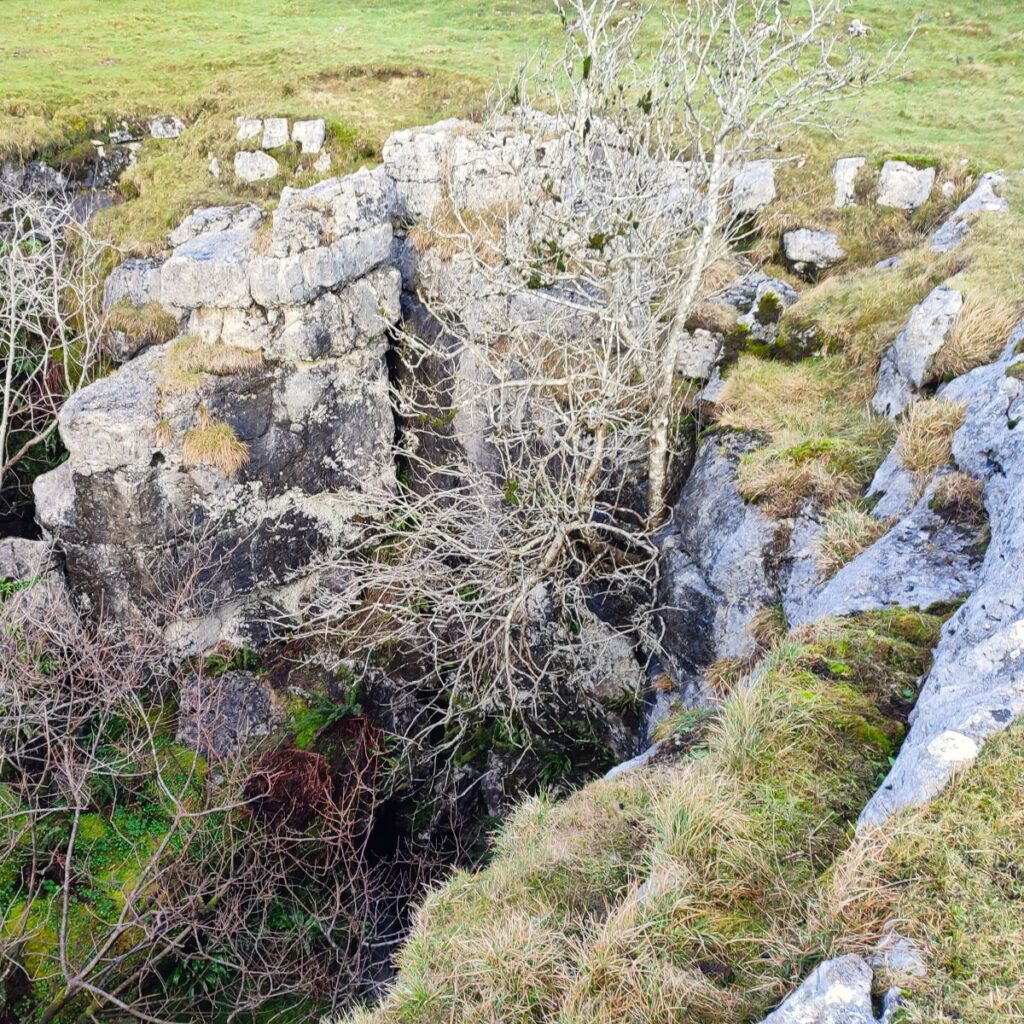
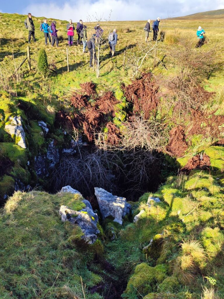
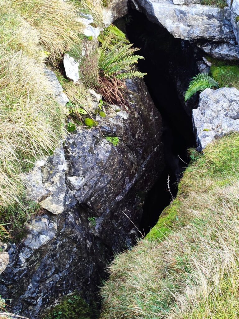
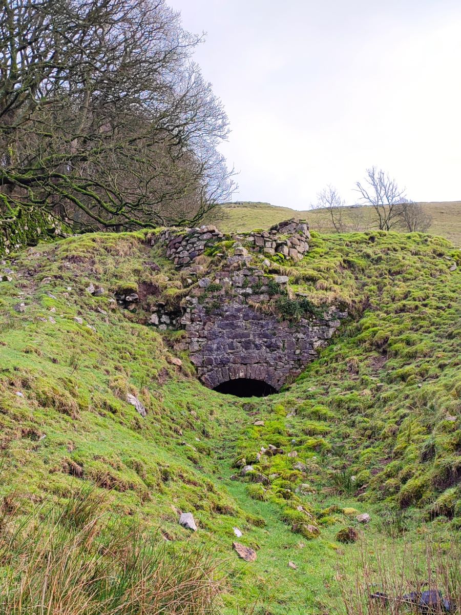
We follow the Turbary Road to the right, heading northeast now, and soon arrive at a gate – just beyond this on our right is another pothole – this one, Kail pot is quite large and very visible. It is bounded by a fence, but there is a stile to allow access for those with suitable knowledge and equipment. None of your group fitted that description, so this picture is as close as we get.

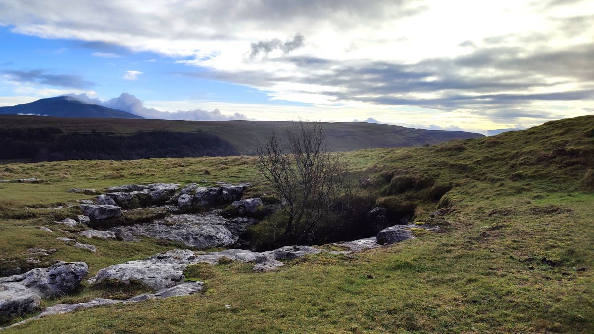
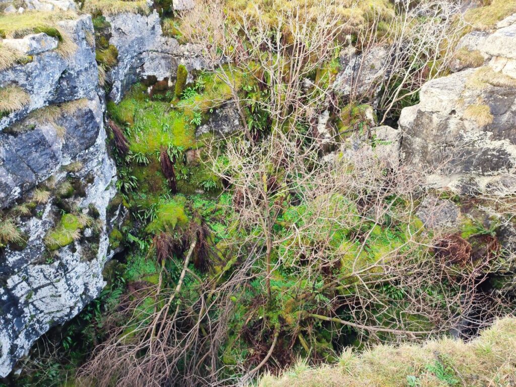
We return to the Turbary Road and continue northeast with Gragareth starting to loom over to our left and walk a further 1000m to find our next large pothole of the day – this is Rowten pot. It’s larger than Kail pot – at least externally – and is made up of three distinct holes each with the thundering noise of water running below – not all of these are fenced so take care. On a cold and clear day when the flow of water at the base of this pot is energetic, an atmospheric wisp of mist emerges from the smaller pot to the right – its just about visible in this picture.
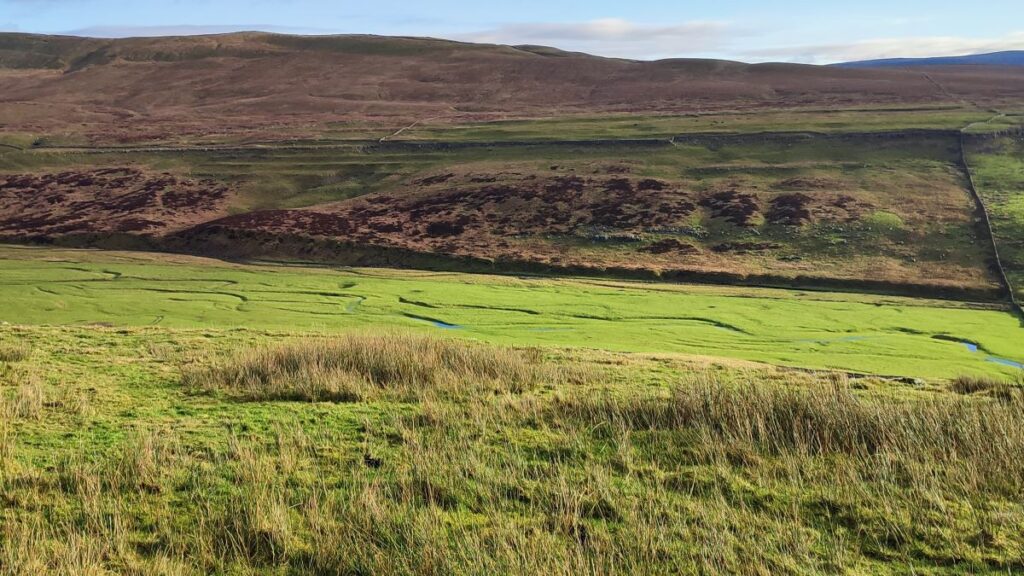
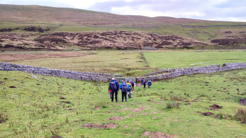
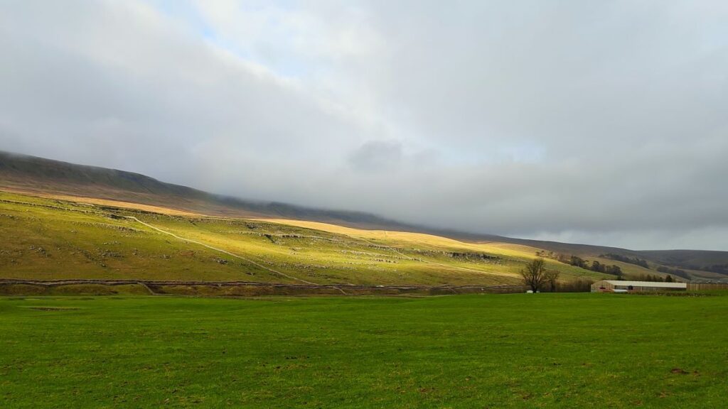
From here we press on along the Turbary Road, passing through two more field boundaries. Over to our left on the side of Gragareth we noted a number of springs – one of these had a particularly high flow rate and acted as a natural fountain shooting water more than a metre into the air.
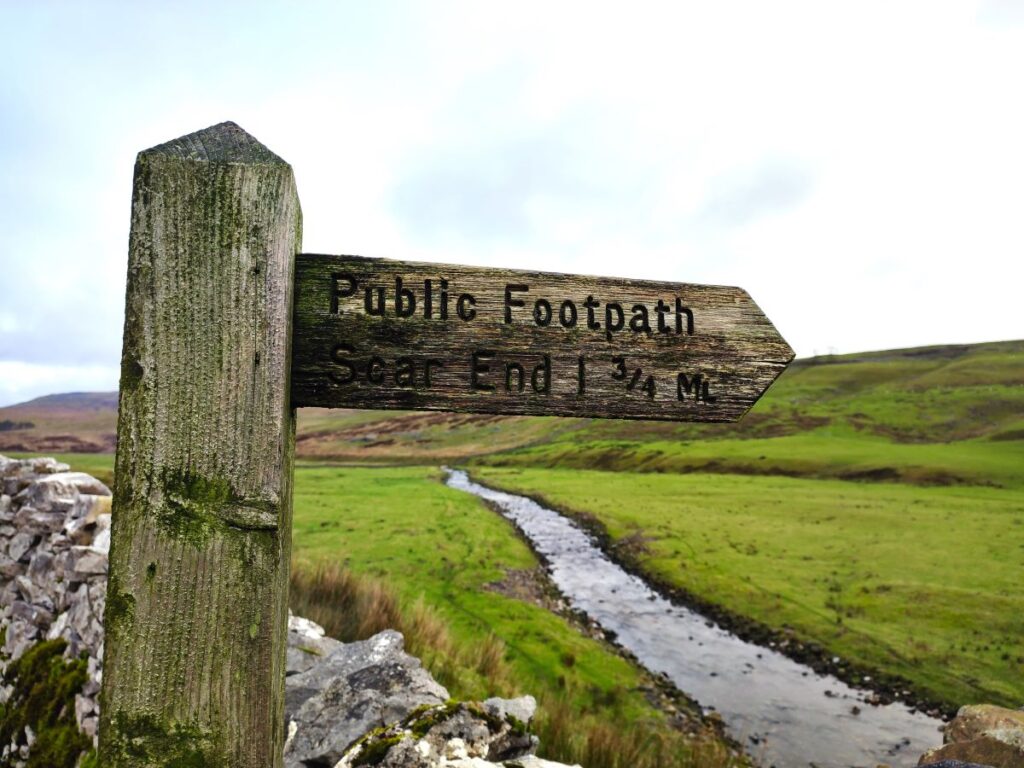
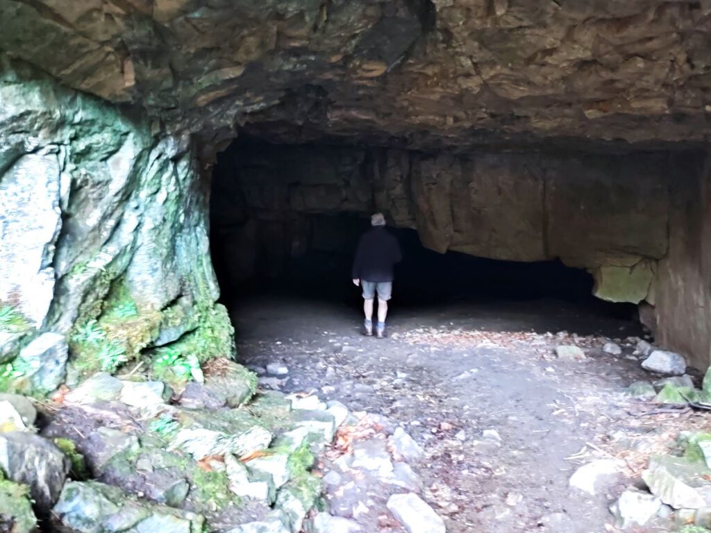
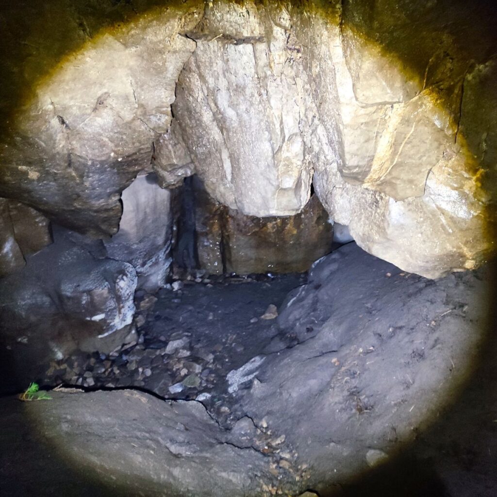
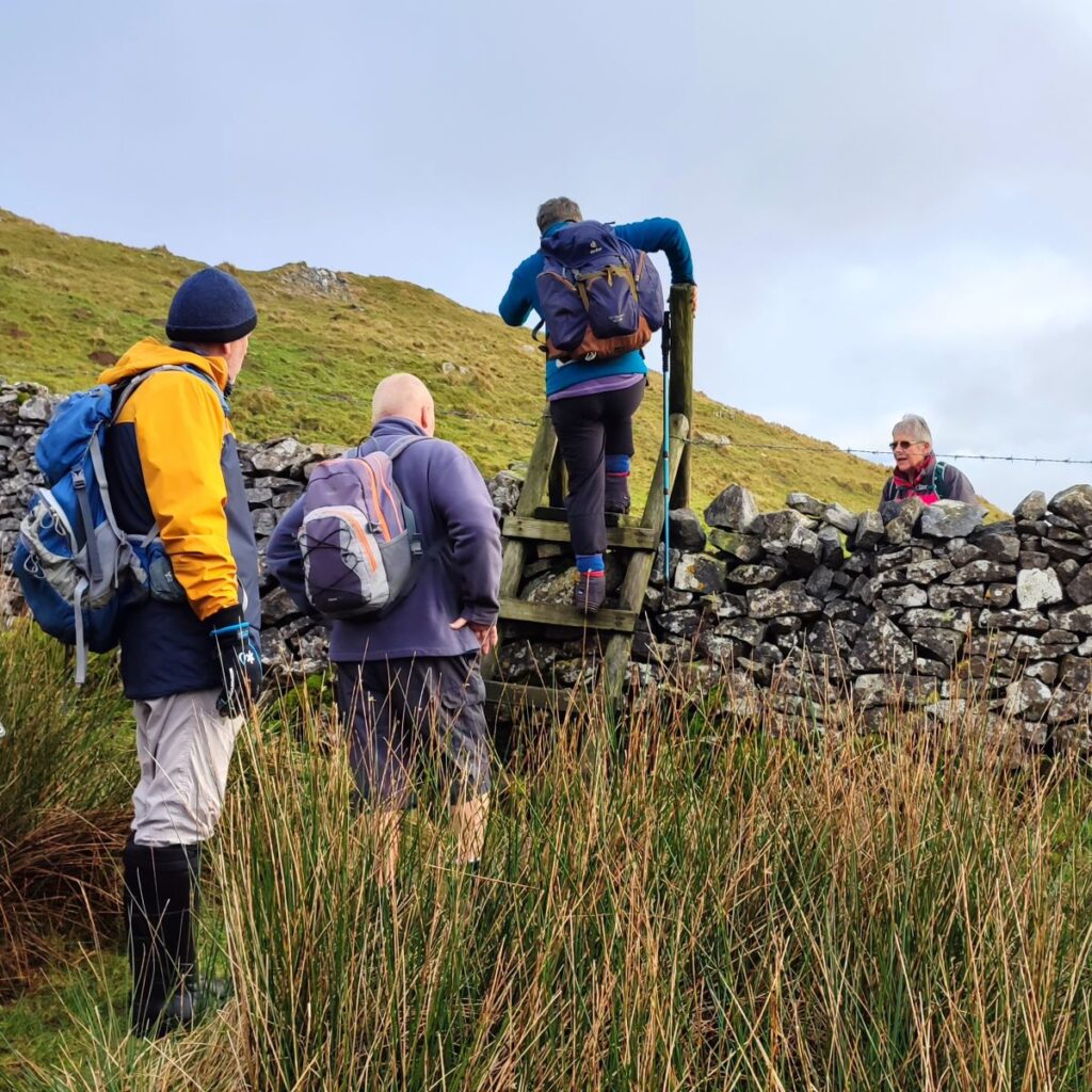
We now need to keep an eye open for the ladder stile to the right of the Turbary Road which takes us down to the valley bottom via Yordas Cave. This stile is unusually steep on the downhill side, so a rope has been attached to help with the descent – take care.
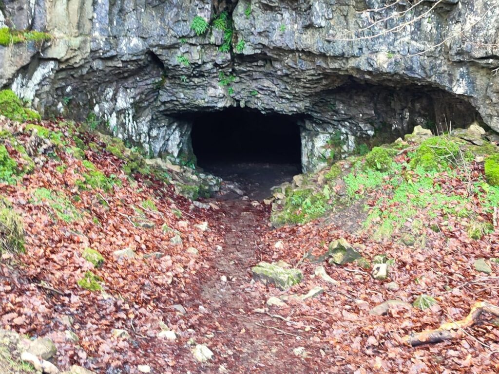
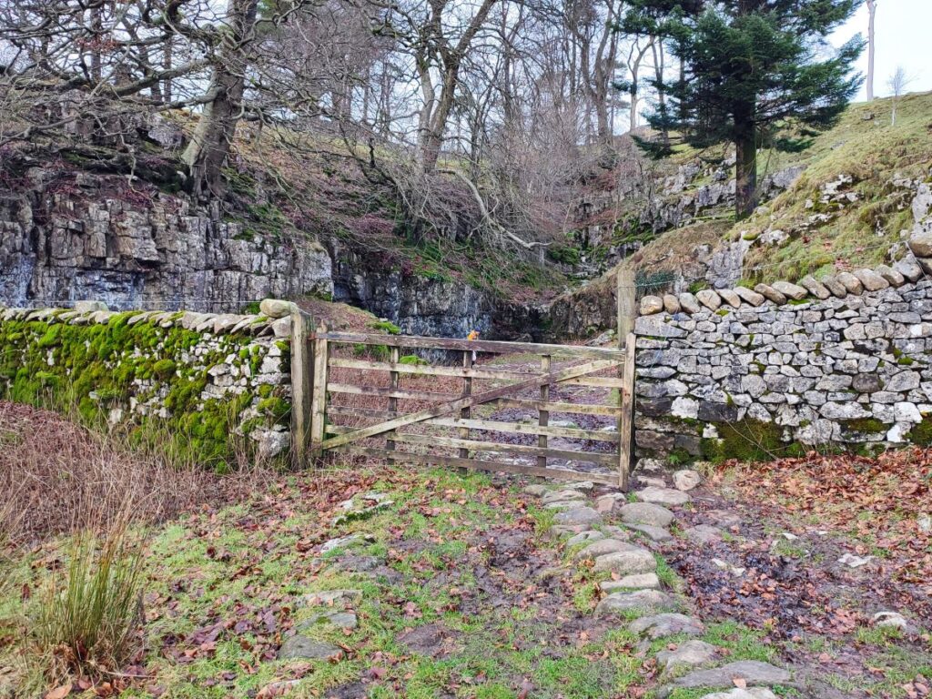
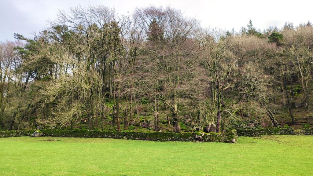
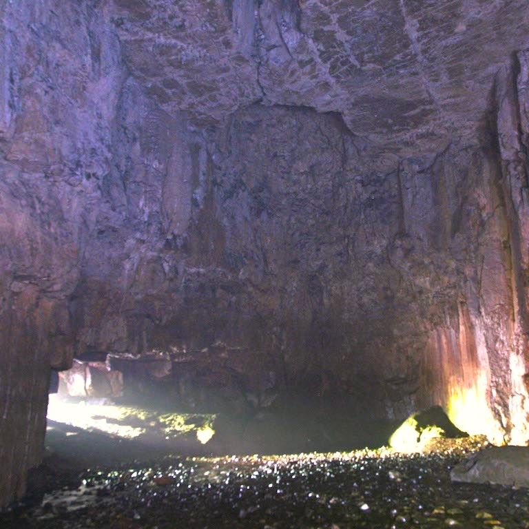
From here the path is clear and follows Yordas Gill downhill until it disappears into Yordas Wood. At this point the path continues down the side of the woodland and then bears left to approach the gate at the entrance to Yordas cave from below. Some say the cave was named after a Nordic giant while others say the name is derived from the Norse ‘Jord ass’ which means ‘earth stream’.
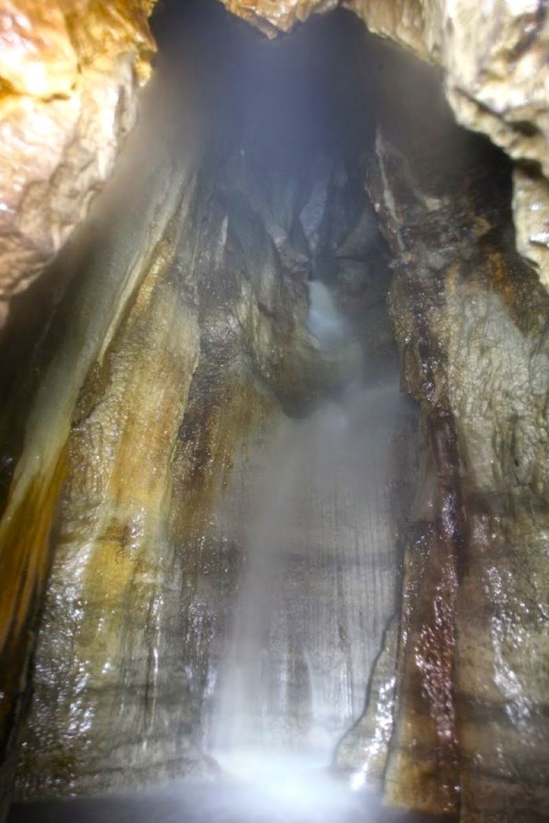
The latter would at least be consistent with the observation that the energetic stream of Yordas Gill that we were next to a few moments ago does not emerge from the woodland – instead it disappears into the cave system – and can be glimpsed at the back of the cave as a waterfall.
Yordas Cave is what is known as a solutional cave – meaning that it was created by solid rock slowly dissolving in water over many millennia – most of the caves in the Yorkshire Dales were formed this way. The main cavern is surprisingly large at 55 metres (180 ft) long, and 15 metres (49 ft) wide, and at the back of the cave is a side chamber where a waterfall may be seen – going beyond this point without specialist knowledge and equipment is not advised.
Accessing the view of the waterfall requires a trip to the back of the cave – and although this is safe, you will need a good torch to find your way over the rough floor of the cave. If you prefer, there is a great you tube video that shows the cave: Click here to see it.
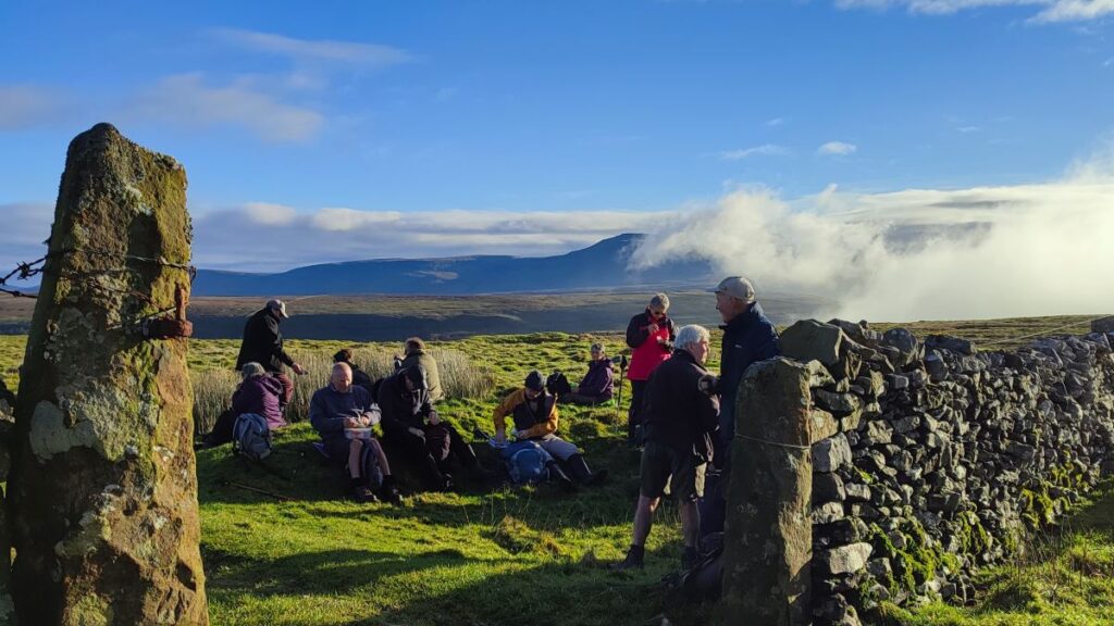
From the cave – a great spot to have lunch by the way – we continue down to the road and head right walking on the road for a little while – you will see a stile on the left almost immediately, but don’t be tempted by that – we cross the Kingsdale beck a good 1000m down the road.
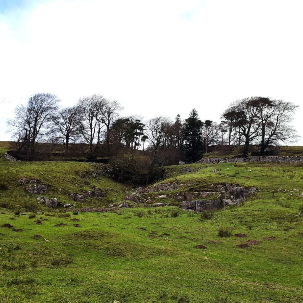
Before we head much further though, it’s worth glancing across the dale to see the remains of a curious stone structure noted on the OS map as “Apron full of stones”. It is believed that the walls of this megalithic structure once stood at 3m and given its alignment with Yordas Cave, it is possible that it held ritual or symbolic significance – for more detail click here
The site was partially excavated in 1972 revealing an empty grave, a cremation burial, a pit and a scatter of worked and waste flints.
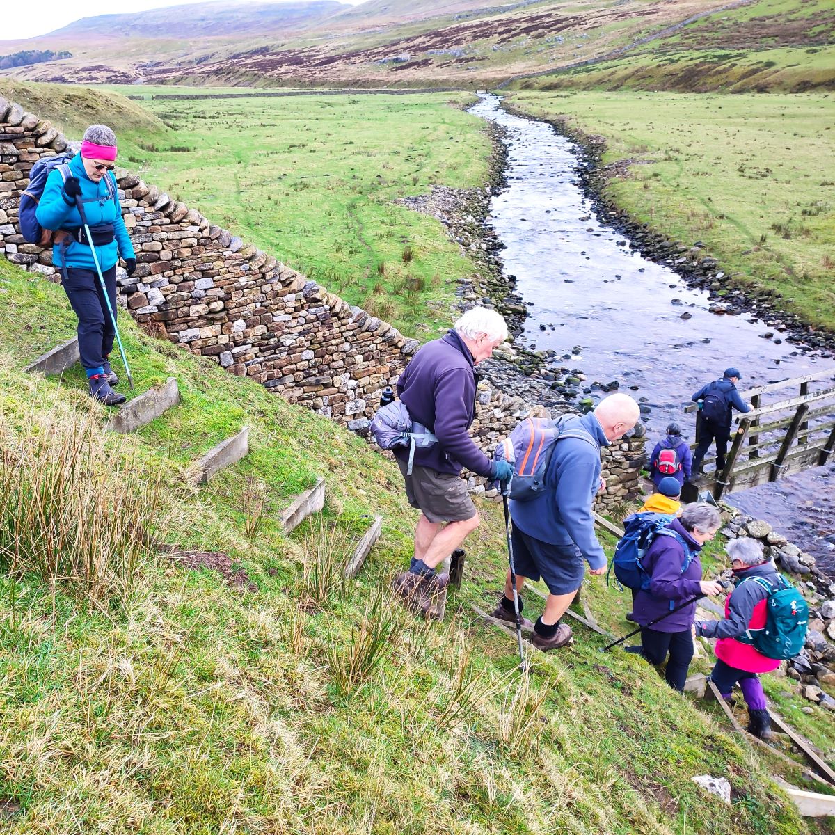
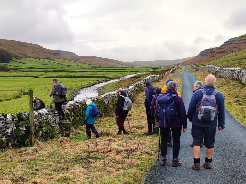
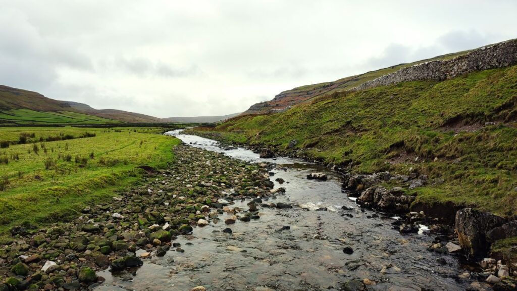
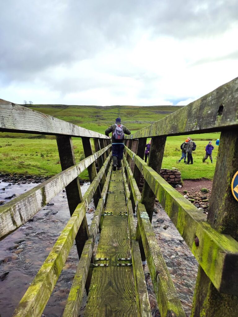
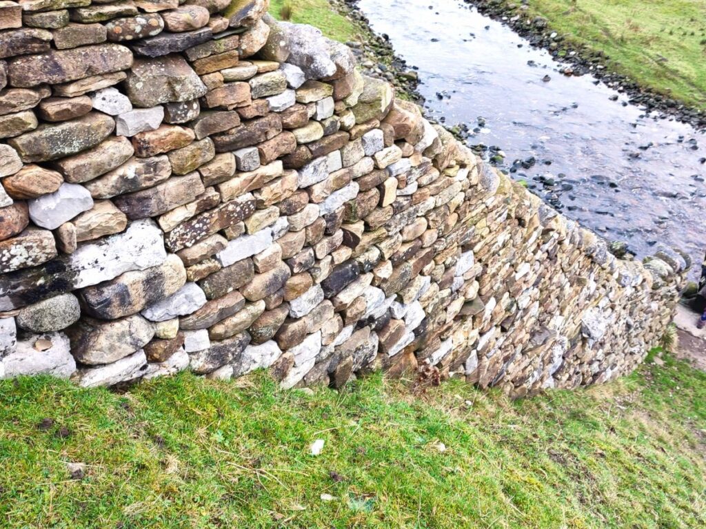
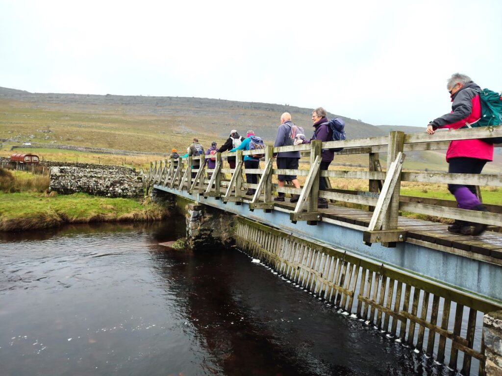
We head down the valley bottom for a while now, looking for the stone stile on the left which takes us to a steep climb down to a footbridge over the Kingsdale Beck. Depending on rainfall over the last few days and weeks the beck may be anything from an arid bed of rocks through to a raging torrent – one of the curious features of this river is that it disappears for parts of the year.
When rains do arrive, and the river rises, the change can be near instantaneous. The chance of seeing the transition from arid to full flow is of course very low, but a combination of perseverance, and possibly some good luck allowed the transition to be filmed – click here to see it.
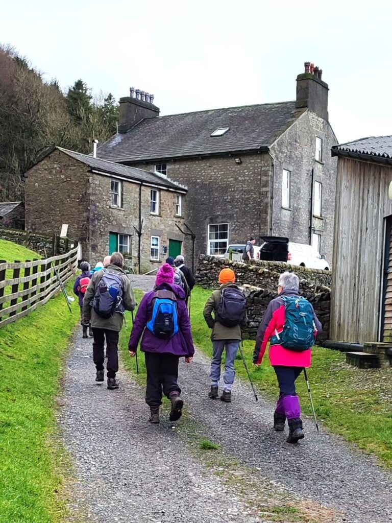
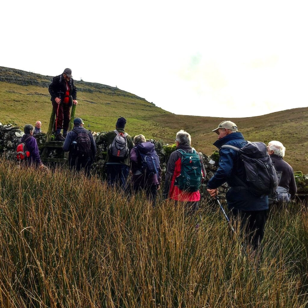
We cross the bridge and follow a clear path up to a farm at Braida Garth, where we follow the footpath signs through the farm to take a stile in front of the large house where we pick up a path across the fields still following the contours of the valley.
At the end of the next field glance to the left as you cross the stile, and you will see the remains of a lime kiln.
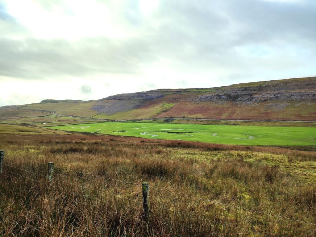
We stay with this path for a while now as it runs along the front of George’s scar. Opposite we see the stark beauty of Keld Head Scar, and in front of that Keld Head itself, where the underground rivers that flow through Kingsdale emerge and merge with the Kingsdale Beck.
Keld head, as for Mossdale Scar on our Yarnbury Lead mines walk, is one of those names that are etched into the consciousness of all cavers and potholers – because it too is the site of memorable tragedies: Alan Erith drowned in in there in 1970, and then one decade later, on November 23rd 1980, a second tragedy occurred.
If you use Google or any other web search engine to research this accident, you will probably find a report that a Kindergarten teacher called Anne Lucas died here. In our original blog for this walk, we included this reference – which prompted a well informed cave diver with personal experience to get in touch. Based on new advice, we now know that the person lost was in fact Mark Woodhouse. The incident is described in the Cave Diving Group’s website as follows:
“Four divers embarked on a training dive. Mark Woodhouse, a relatively inexperienced diver became entangled in the line just before a kicking water airbell 100m from the entrance. On freeing himself he surfaced in the 100m airbell in a state of panic. A second diver was nearby but had to adjust his own buoyancy before offering help. By the time his buoyancy was sorted, the first diver had descended back in to the sump and was presumed to be making an exit. A few minutes later the second diver found the first diver laid on his back without his mouth-piece in place. The second diver recovered the first diver some 50m towards the entrance but was unable to save him. The body was recovered later that day.”
Although lives were lost, further dives at Keld Head have taken place, and a fascinating documentary available on YouTube gives a glimpse of the challenges faced: click here to see it.
Safely above ground, the rest of our route mostly clear, but there is one place where it would be easy to go wrong – there is a tempting gate in the wire fence that suggests that the path goes uphill and onto the scar at one point. Stay below the fence until you arrive at a stone stile where we connect with a larger path (The Pennine Journey) at Twistleton scar.
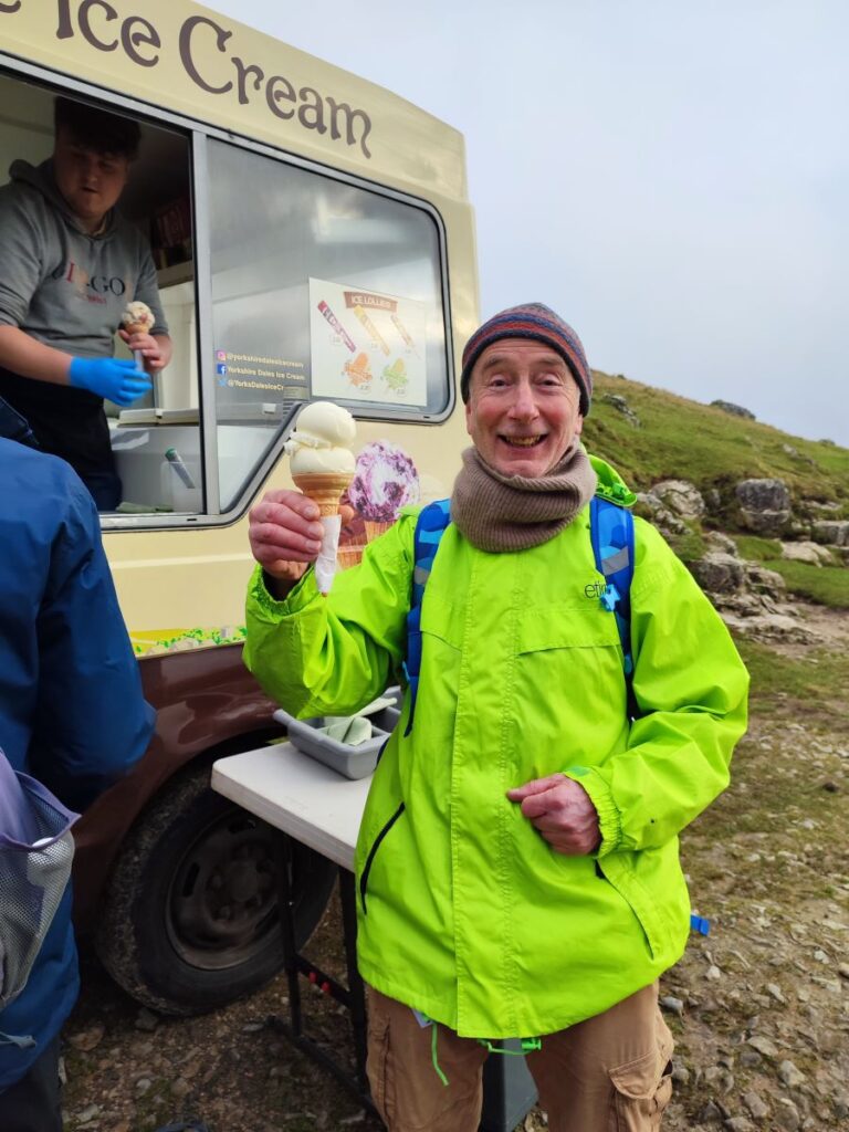
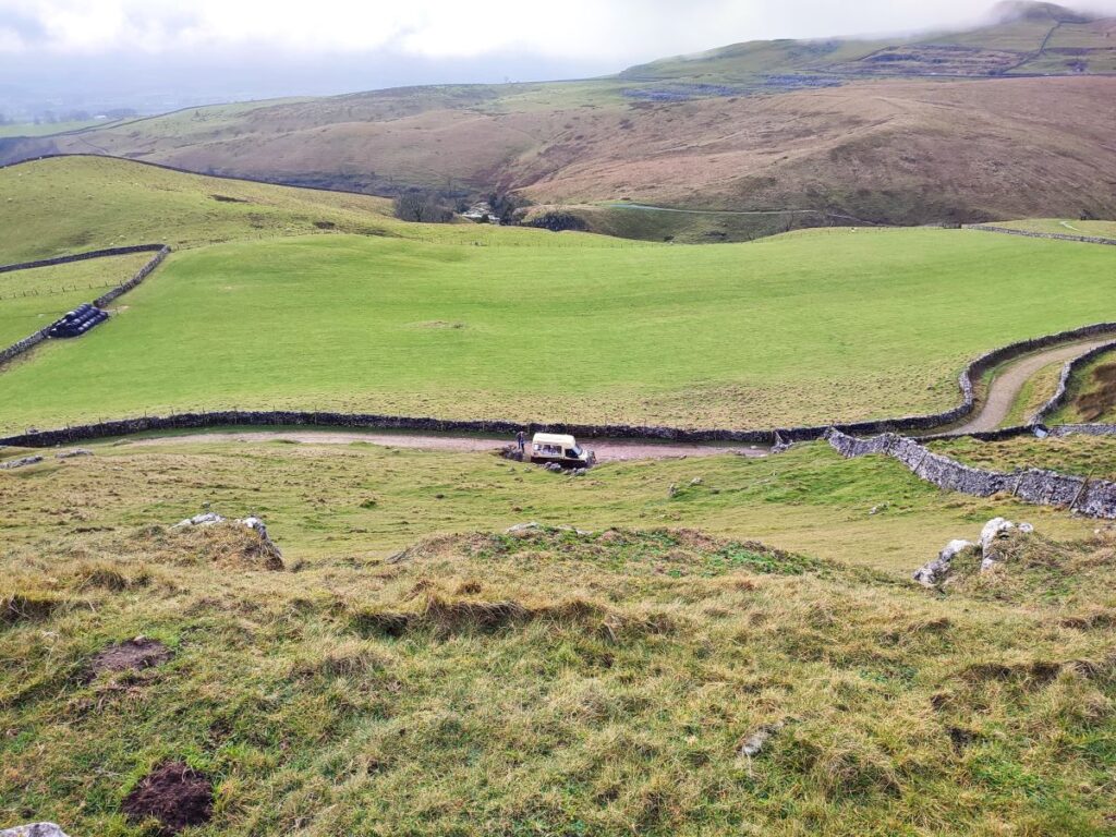
From here we follow the path downhill to meet the larger track which forms part of the Ingleton waterfalls walk – we are still on a right of way though. When we arrive at the lane at the base of the scar we turn hard right, perhaps pausing at the ice cream van for a moment before continuing along to the footbridge over the beck.
We re-cross the Kingsdale Beck and climb up the lane on the far side to the road, where we walk a short way uphill and to the left to return to our starting point.
Other useful links . . .