Jump to . . .Step by Step | OS Map | Downloads | Gallery | Fly through
Limestone pavement is one of the defining features of the Yorkshire Dales, and when asked to think of an example, most people mention Malham: that pavement and the Cove are indeed spectacular, and Bentham Footpath Group have enjoyed a number of good walks there.
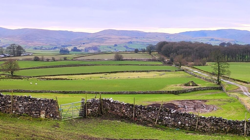
This walk however visits the much larger (15 square miles) and rather more secluded Great Asby Scar National Nature reserve. Malham famously has a tarn, so we throw one of those in and start at Sunbiggin tarn before taking a gentle climb to the scar using the Dales Highway path. We then head west along the top of the scar and visit Castle Folds, the remains of a Romano-British walled settlement. From there we pick up the path coming up from Asby Winderwath Common and circle round the scar to head down to the Gamelands stone circle, before taking the Coast to Coast path back to the tarn.
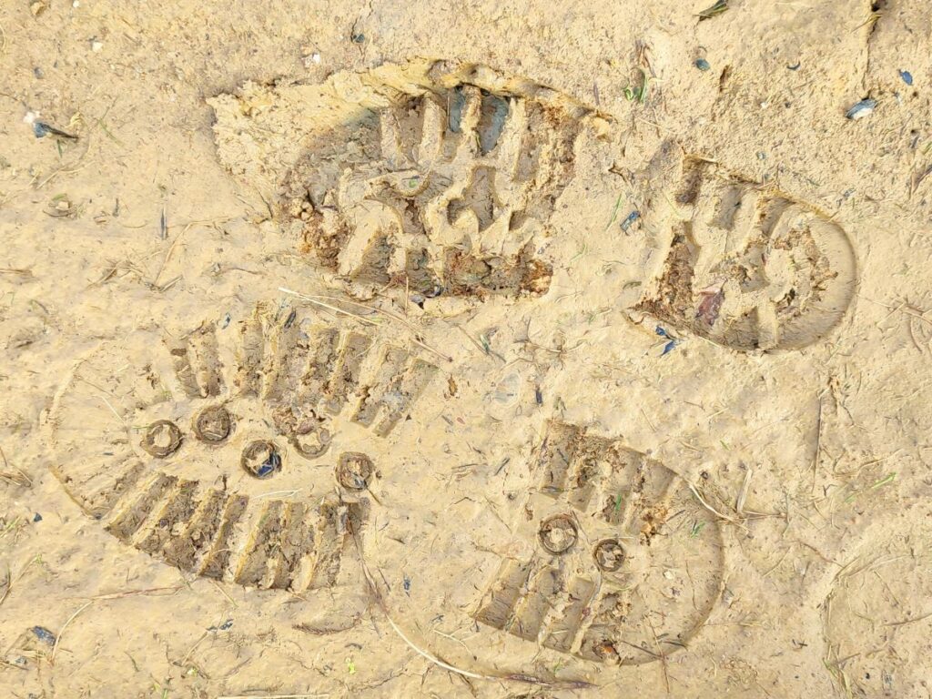
Walking on Limestone pavement carries some risk – so wear appropriate boots and take particular care when the rock is wet – it’s just common sense.
- Total distance 12.7 km (7.9 miles)
- Total ascent 233 m
- Moderate walk
Step-by-Step
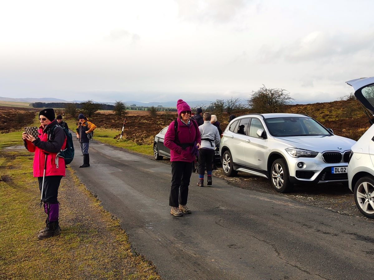
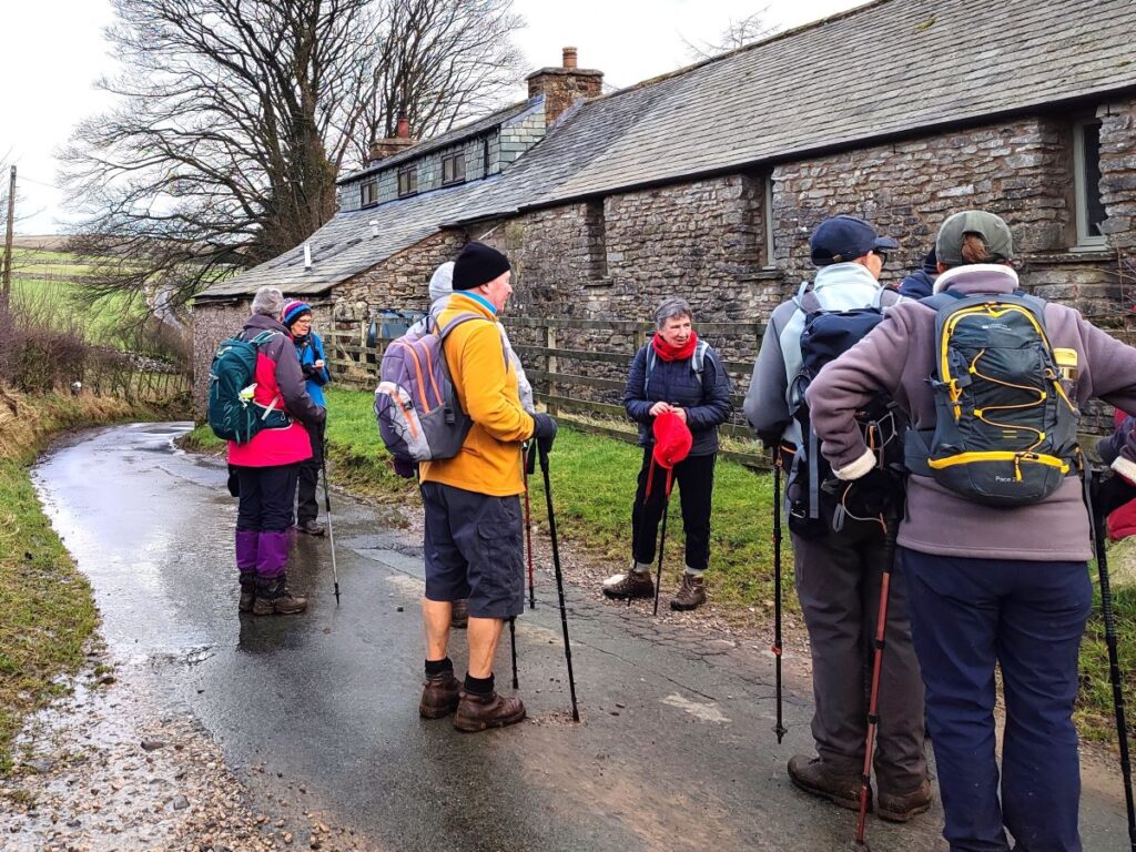
We start at Sunbiggin Tarn, where roadside parking is generally available. To find the tarn, head North up the M6 to junction 38 then take the B6260 toward Orton. As you reach the outskirts of Orton, take the B6261 on the right – signed for Raisbeck. 100m after Raisbeck the road forks – go left and carry on until you see Sunbiggin Tarn on your right – park just before the cattle grid.
If you are using Satnav to get there, then we found that the postcode CA17 4ND worked, and this corresponds to the grid reference NY67530781, and What-3-Words tag textiles.restless.distilled.
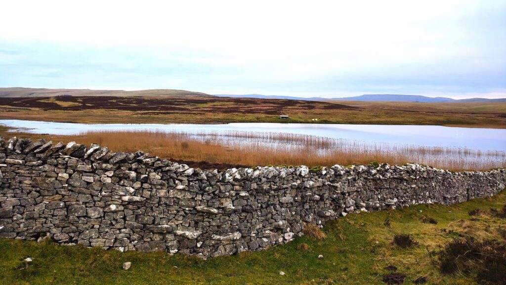
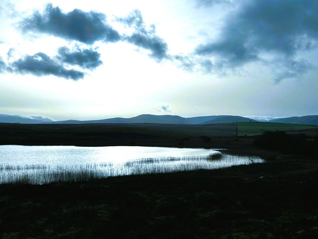
Before we set off, it’s worth taking a moment to enjoy the tarn – its not particularly big, but it’s very attractive. The banks support a range of grasses and reeds as well as wild thyme, and blueberries. There are also rare snails and reports of Ospreys – to see a video of one fishing in the tarn in 2018 follow this Facebook link
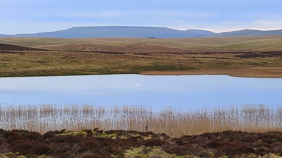
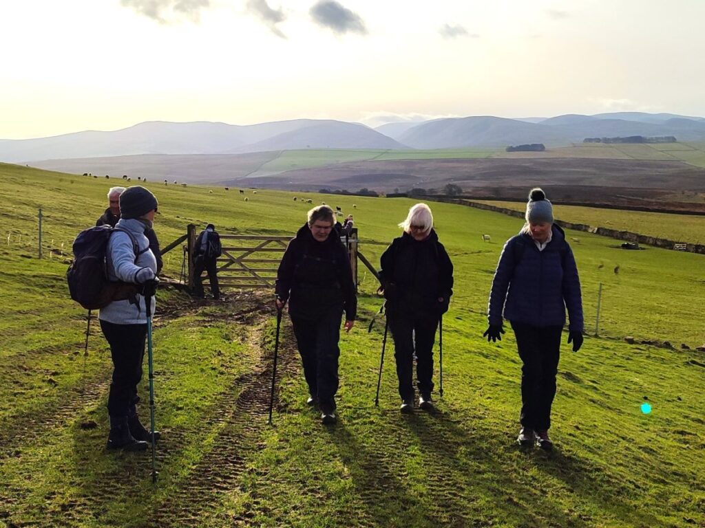
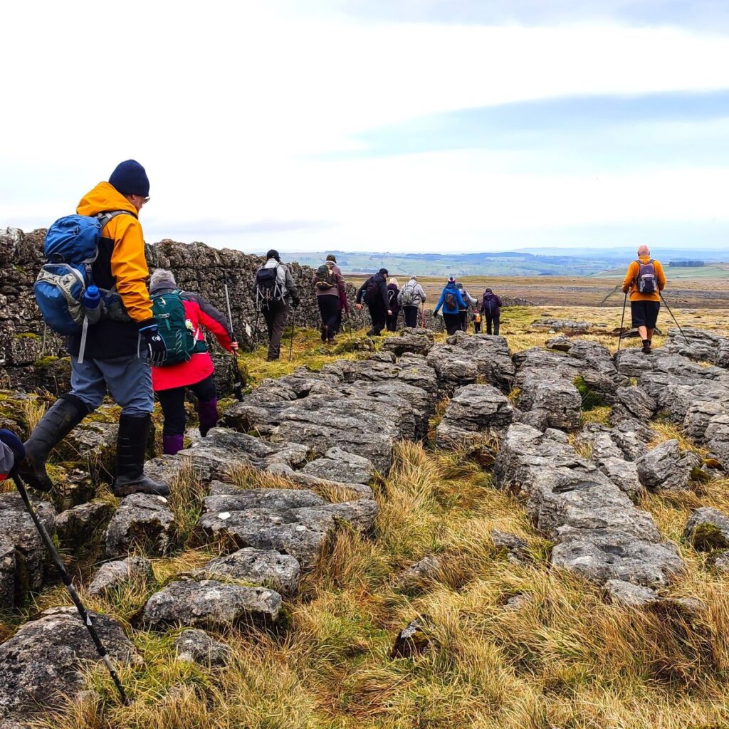
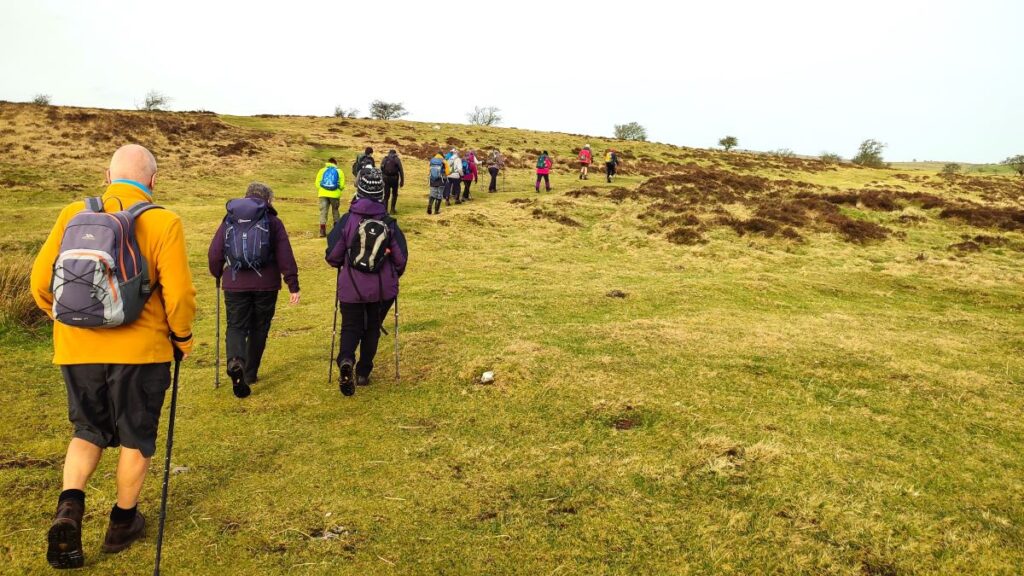
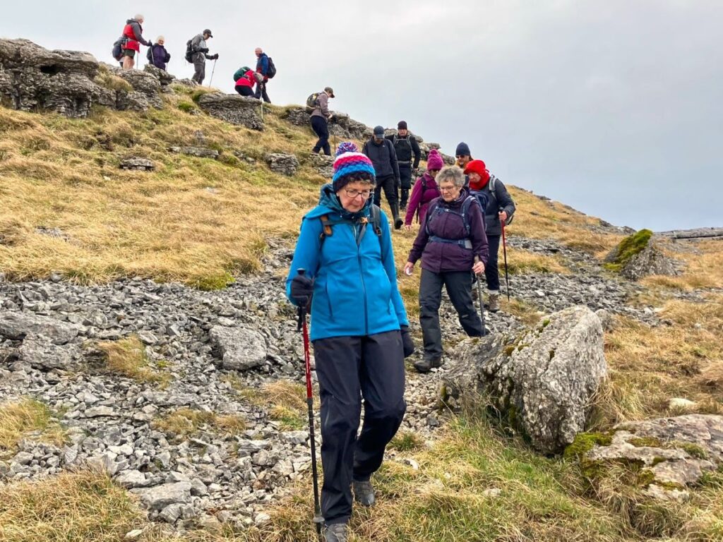
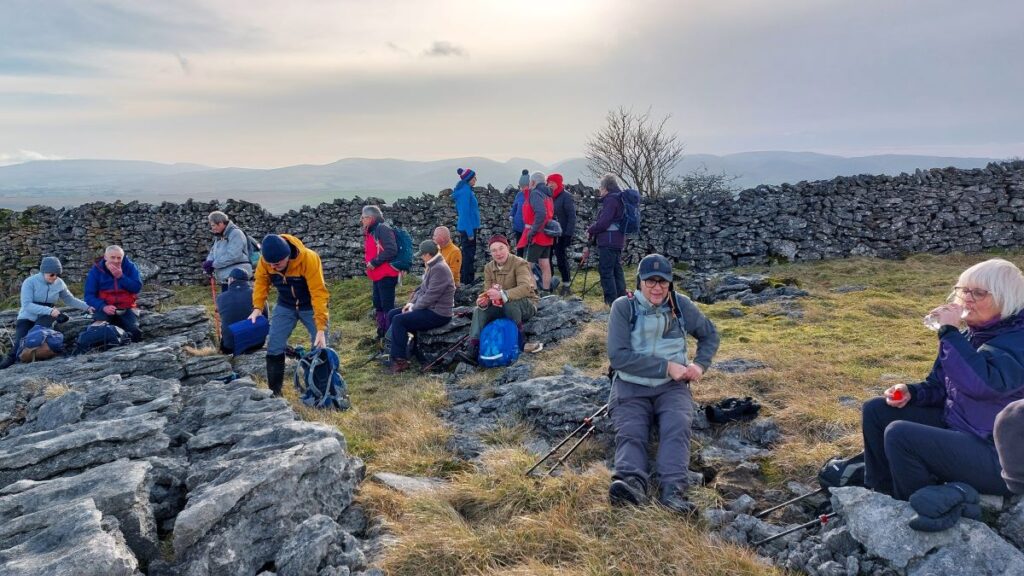
We start the walk from the layby before the cattle grid, keeping our back to the Tarn – to see a clear path that heads up onto Tarn Moor. We are on open access land here, so the route is not specifically designated as a right of way, but the route is well walked and quite clear – generally speaking we are heading northwest to start with.
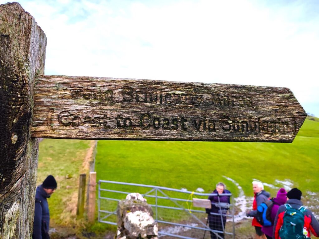
After only 200m another path crosses ours – this is the Dales Highway long distance route coming up from Newbiggin on Lune and heading toward Great Asby. This is the path we will be taking uphill to the flat plateau of Great Asby Scar, so when you see the two paths cross, bear right to head north.
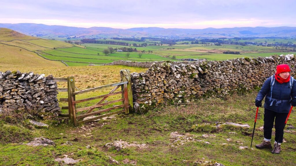
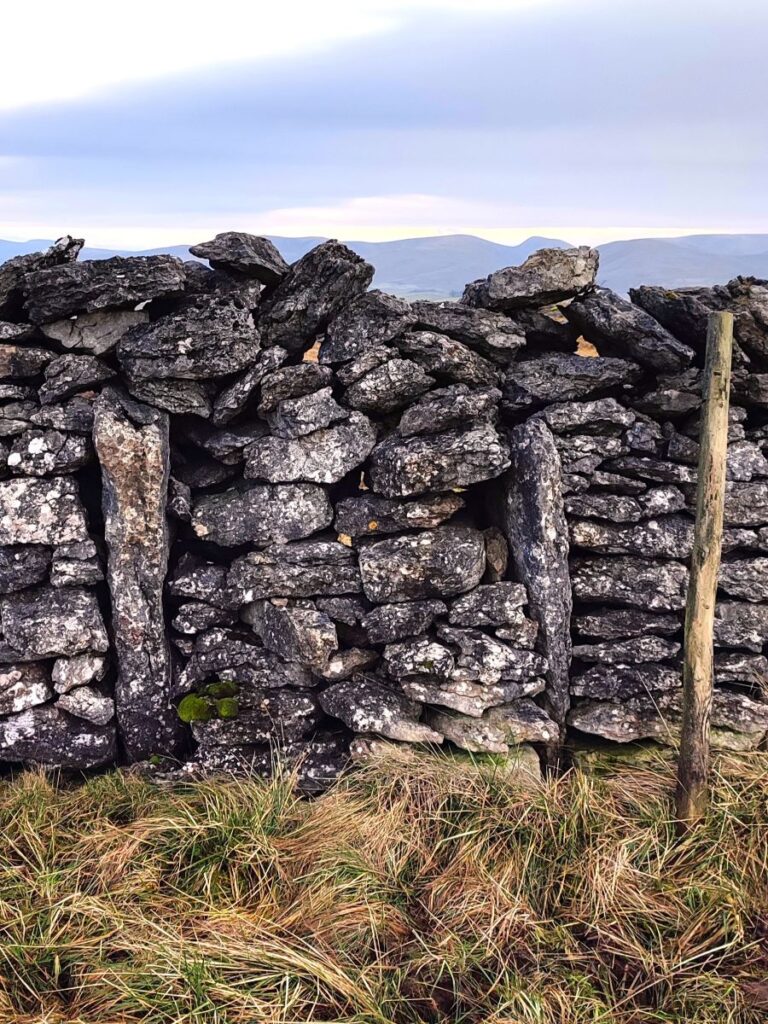
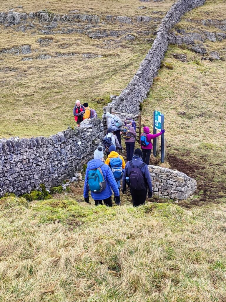
We continue for another 400m and then pass through a gate into a field with a sheepfold and drystone wall to our left – from here the path continues to climb gently, never far from that wall.
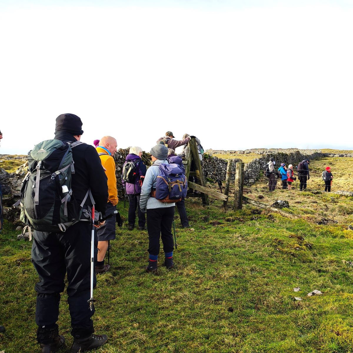
We head consistently north for a while now – the path remains clear, and after another gate, we eventually arrive at a corner in the wall. We head sharp left over a ladder stile, but the Dales Highway carries on, so don’t be tempted along that well-trodden path – at least not today.
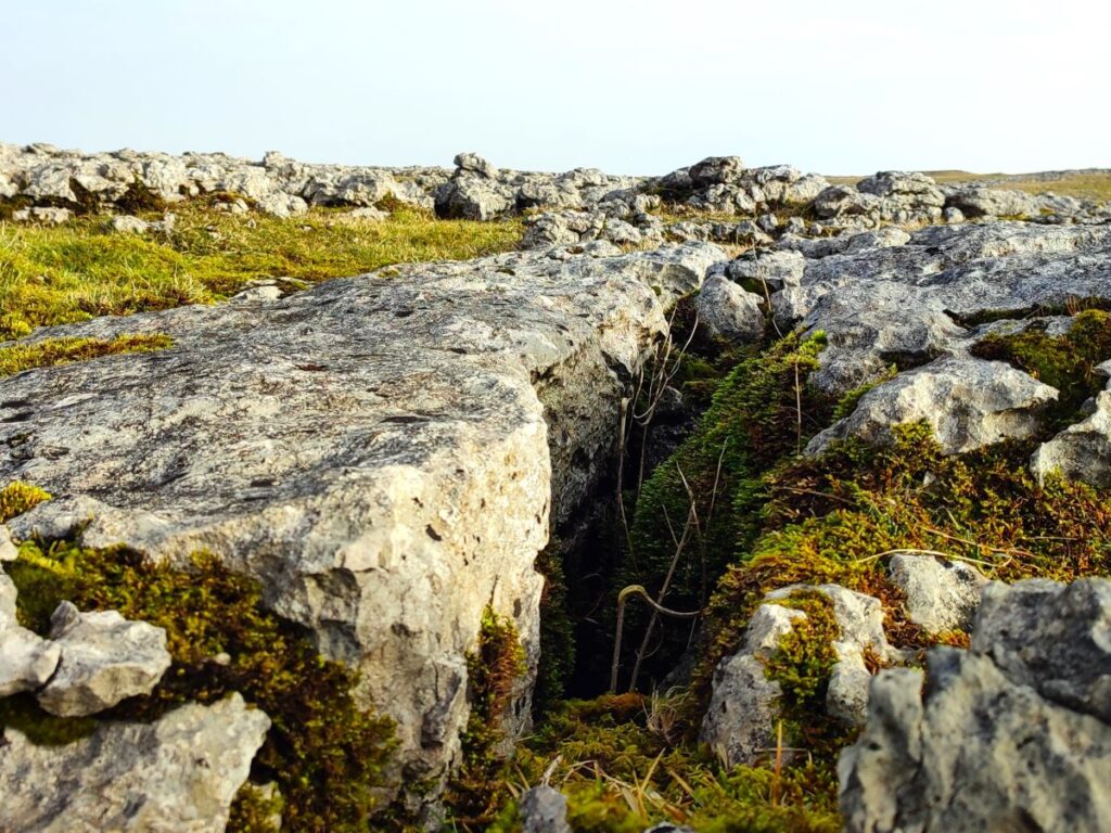
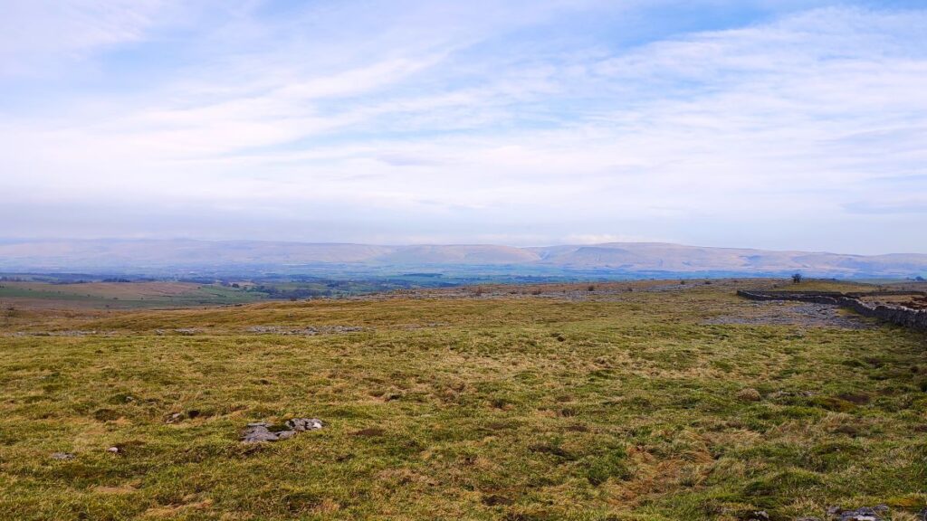
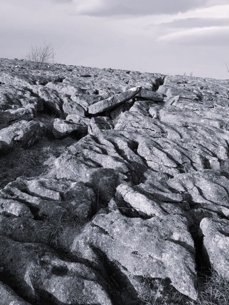
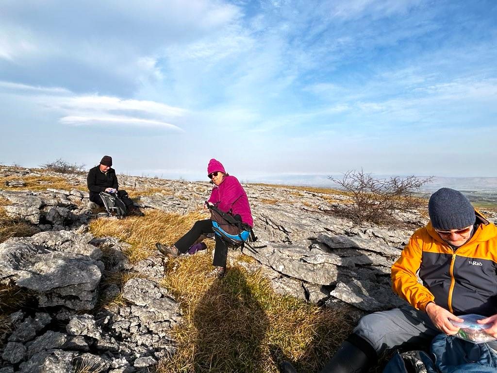
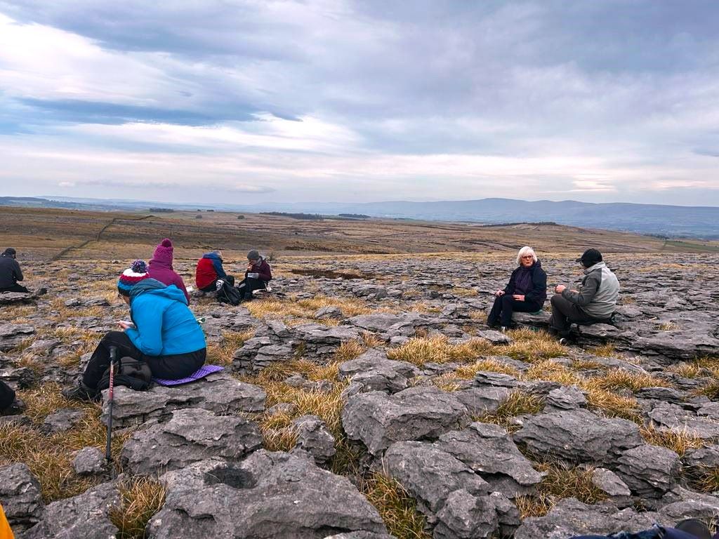
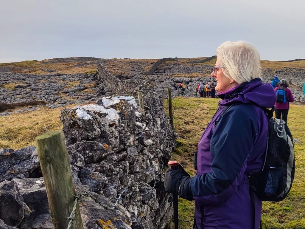
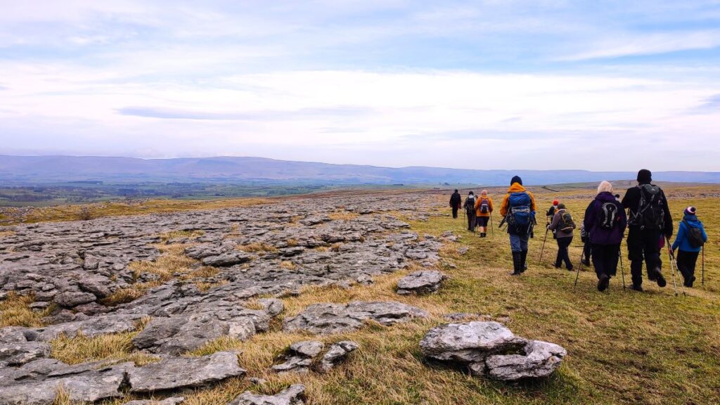
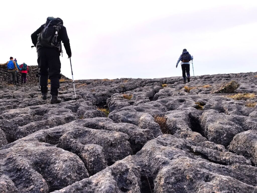
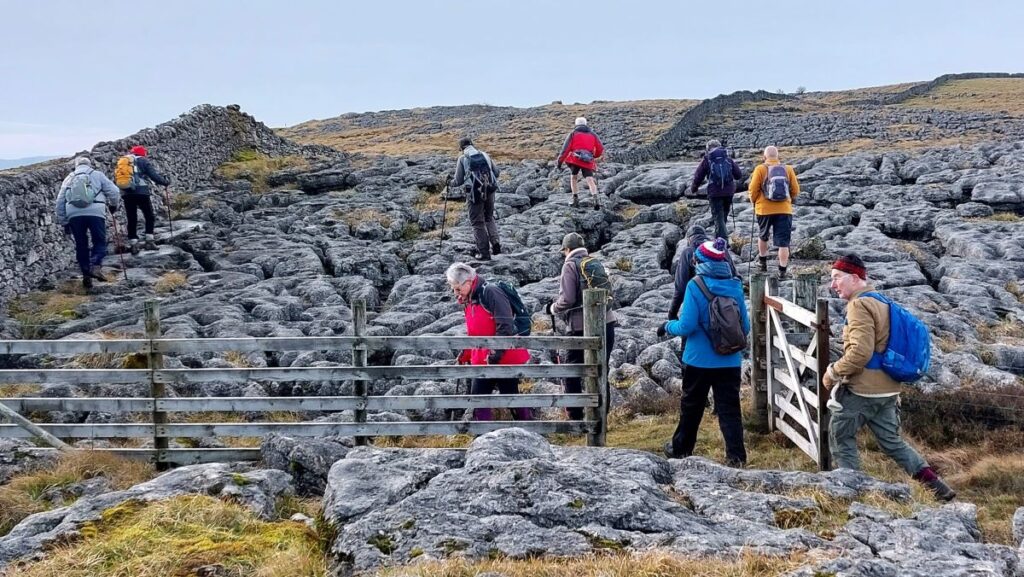
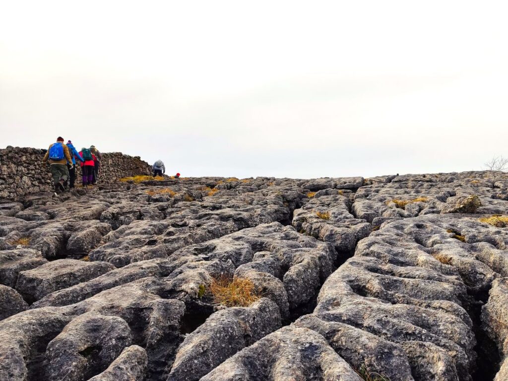
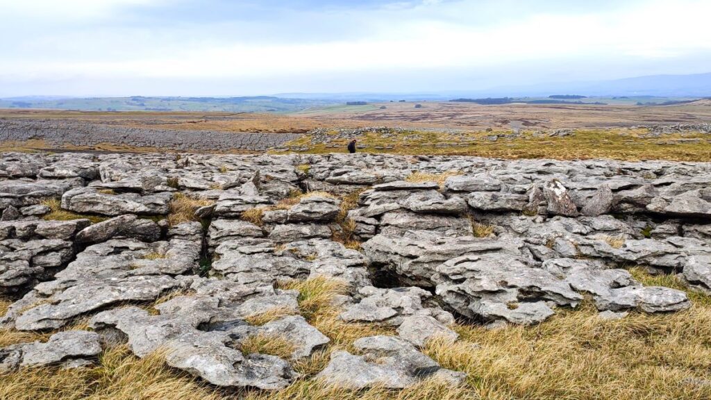
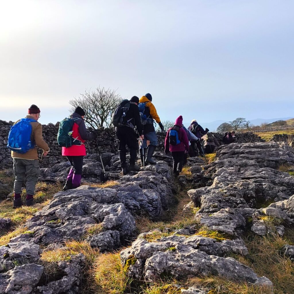
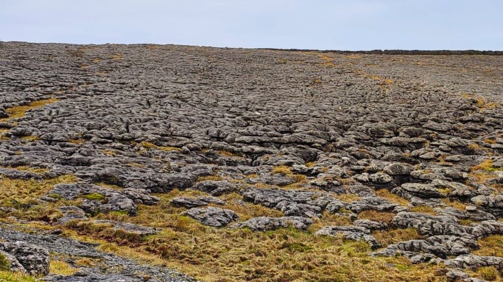
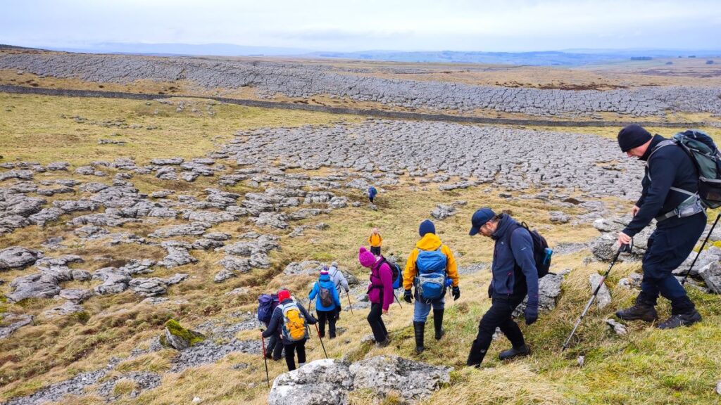
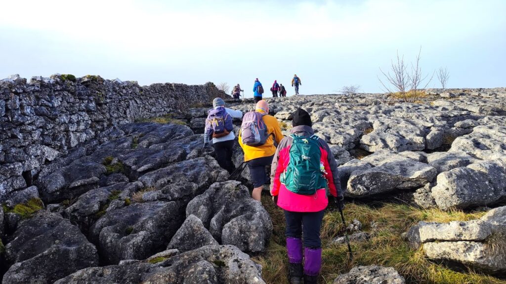
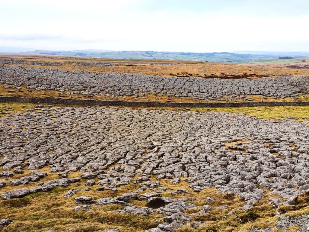
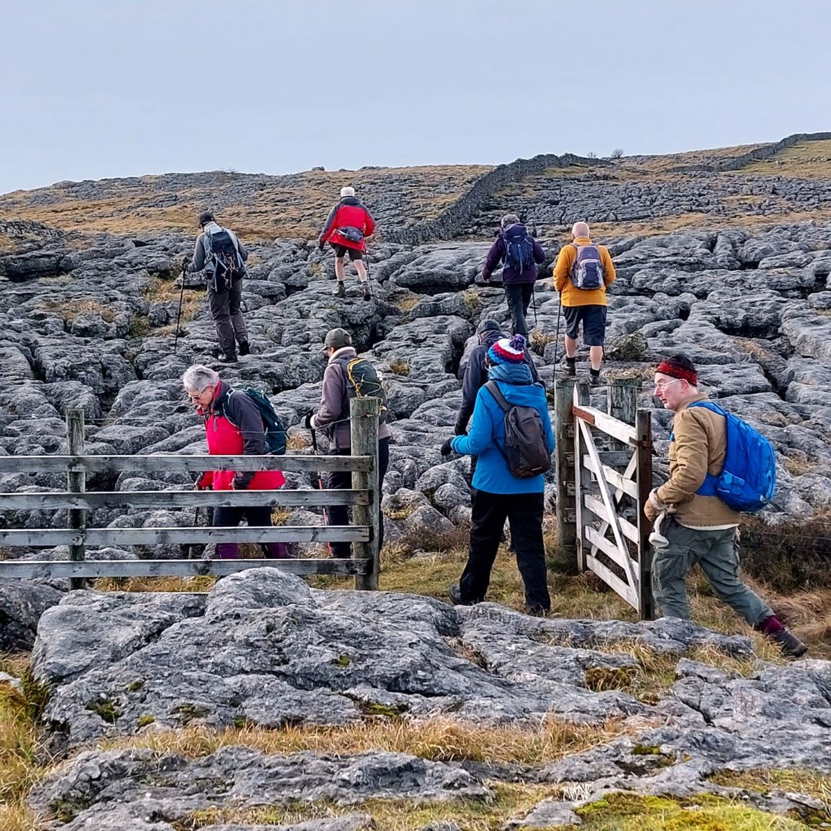
We have now climbed 130m – quite gradually, and from here there is relatively little ascent to be tackled – instead our challenge is safely navigating the limestone pavement.
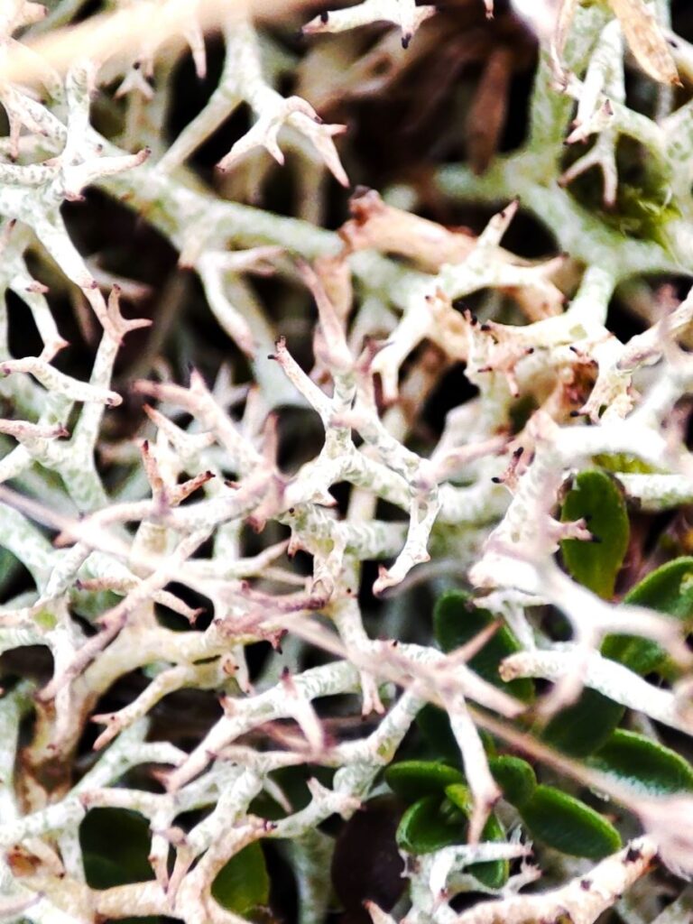
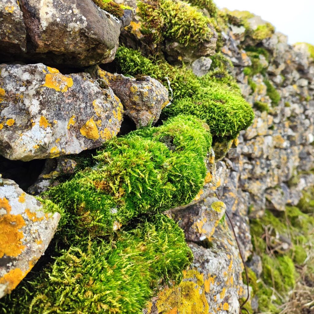
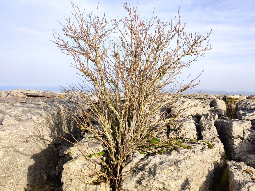
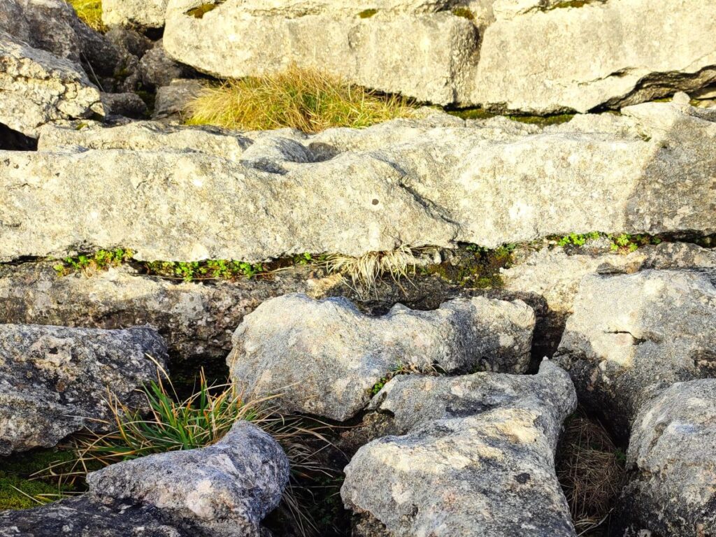
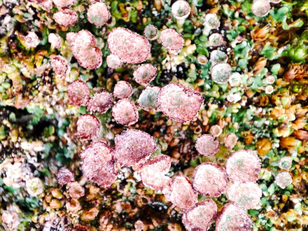
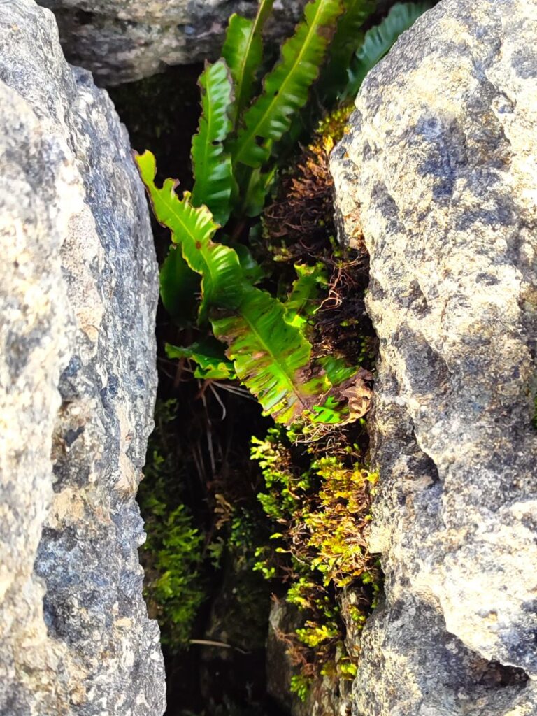
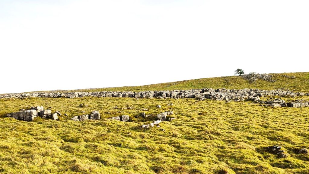
Limestone pavement is a rare and special habitat made up of a series of clints (the flat horizontal slabs of carboniferous limestone) and grykes (the vertical cracks between the slabs). The two together can appear to resemble a planned pavement – hence the name. They were created during the last ice age when the scouring action of ice sheets exposed and cracked raw limestone. Since then, water movement and repeated freeze thaw cycles in winter have widened the cracks in the pavements to form a complex pattern of crevices.

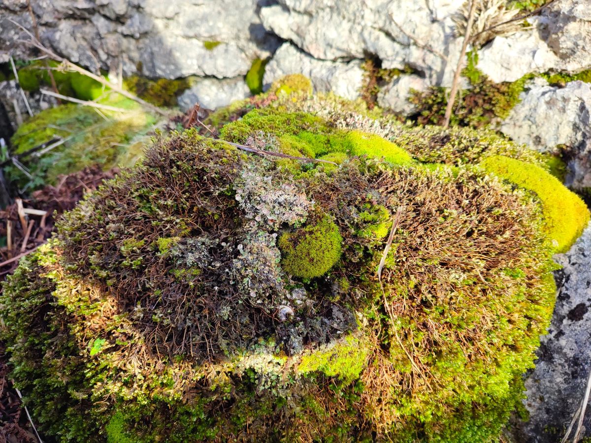
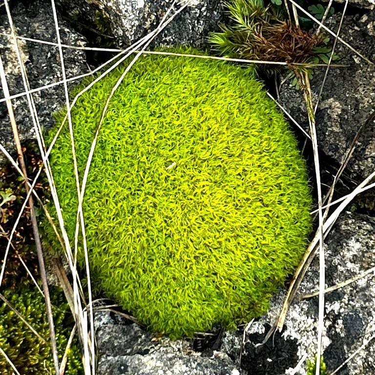
The diversity of species found in limestone pavements is thanks largely to the two very different habitats presented by this unique landscape. The clints provide an ideal habitat for light-loving limestone grassland plants. In contrast, the grykes provide sheltered, shaded conditions making them ideal for woodland plants such as ferns – so expect to find insects associated with both uplands and woodlands.
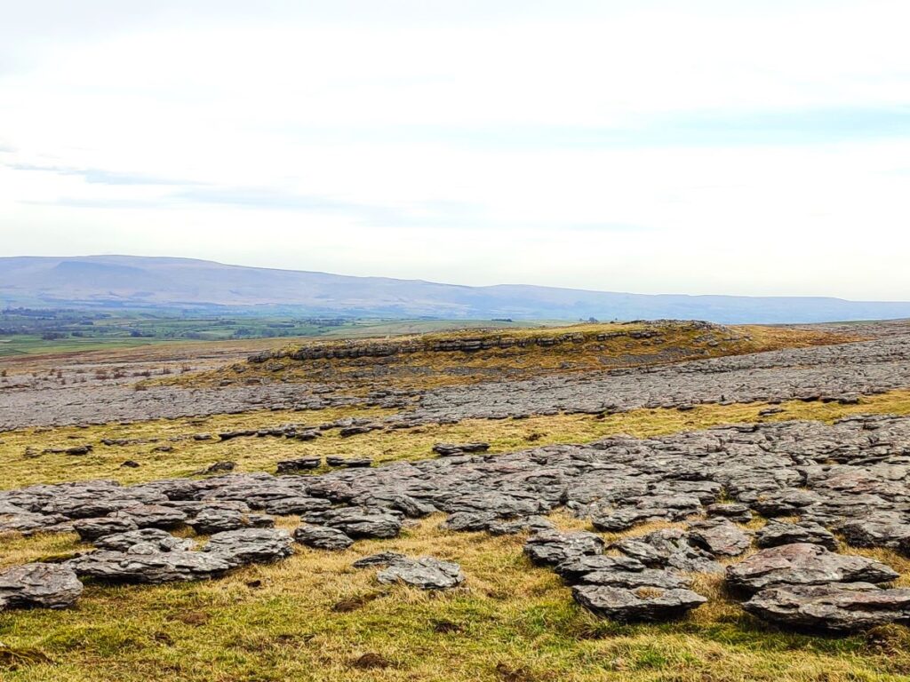
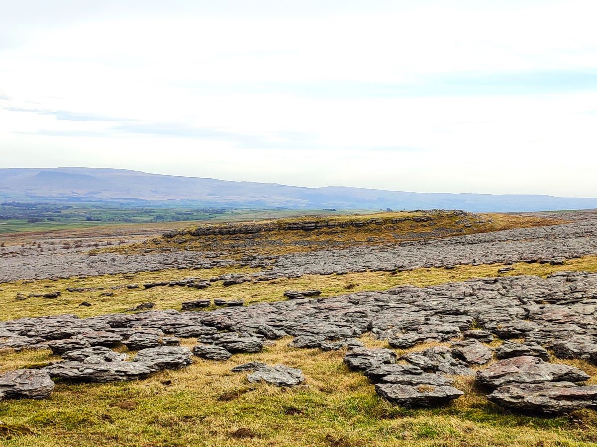
Nationally, limestone pavement is a rare habitat, despite it filling our field of vision throughout much of this walk, and the majority can be found in the western parts of North Yorkshire as well as south and east Cumbria. The Yorkshire Dales National Park contains approximately half of all Britain’s limestone pavement.
For a good overview of what plant and animals to see in and on limestone pavement, click here or here , and for a good aerial view try this YouTube video:
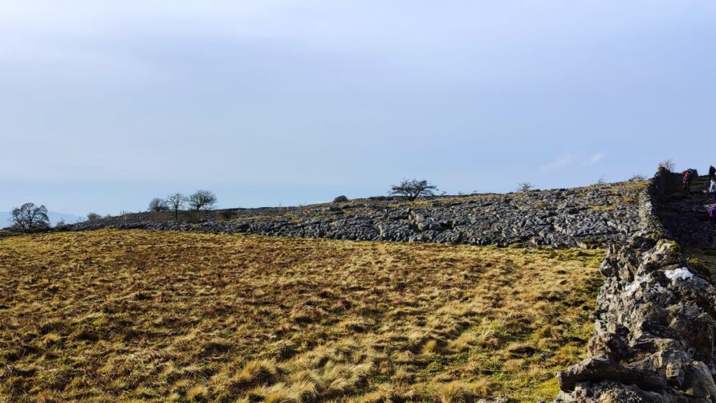
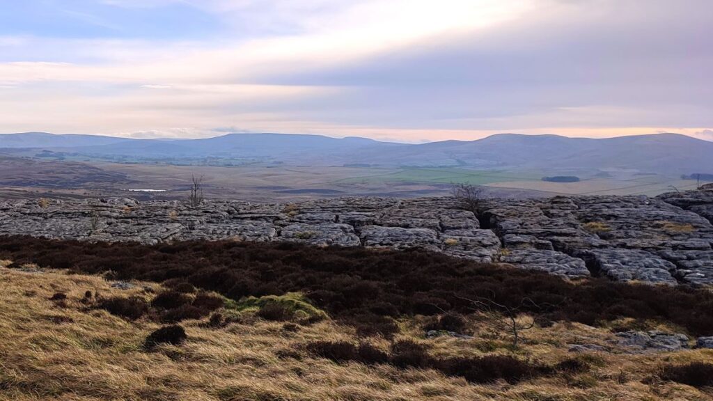
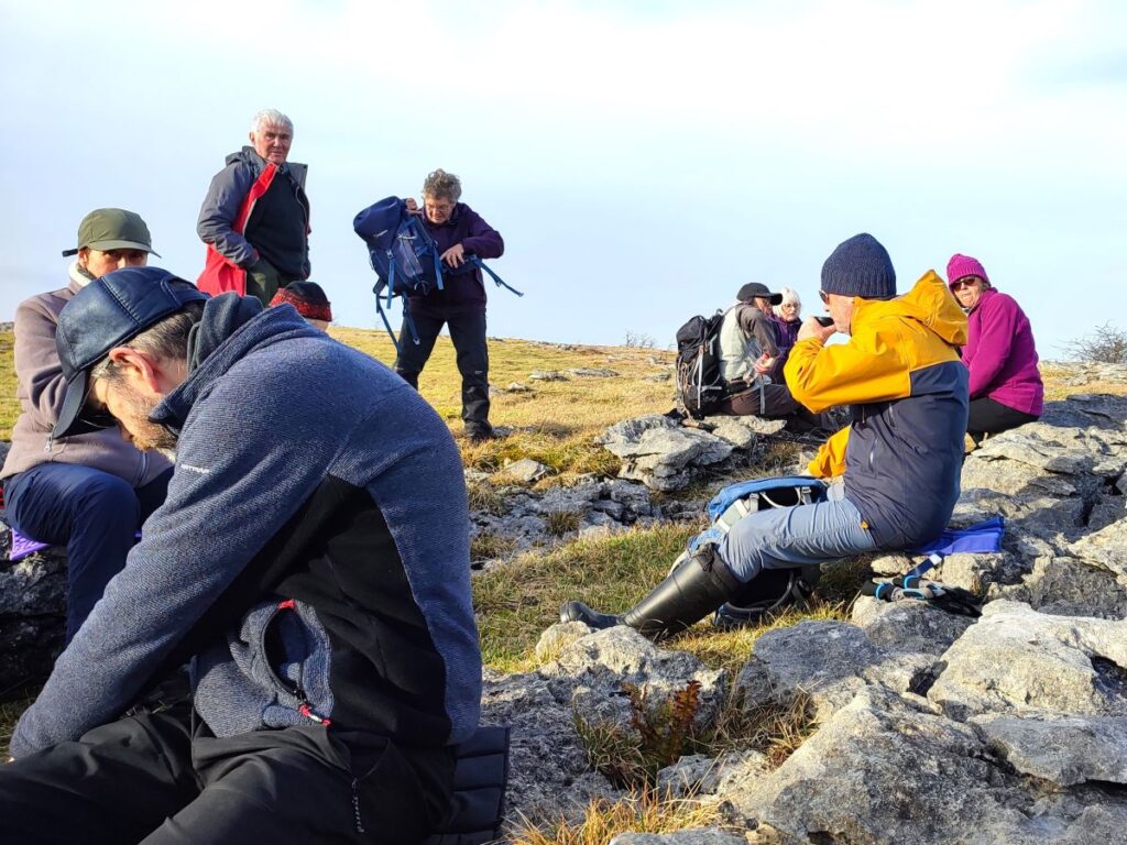
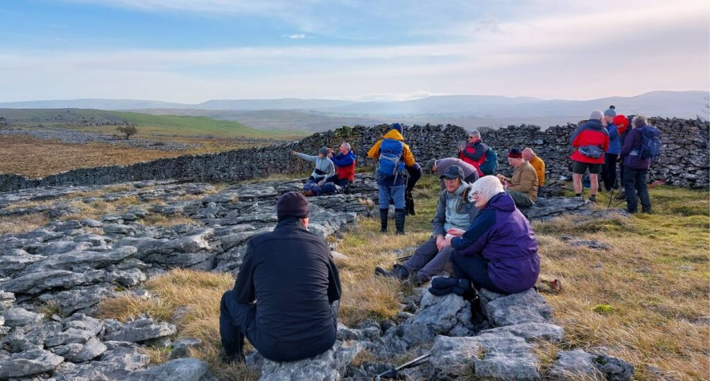
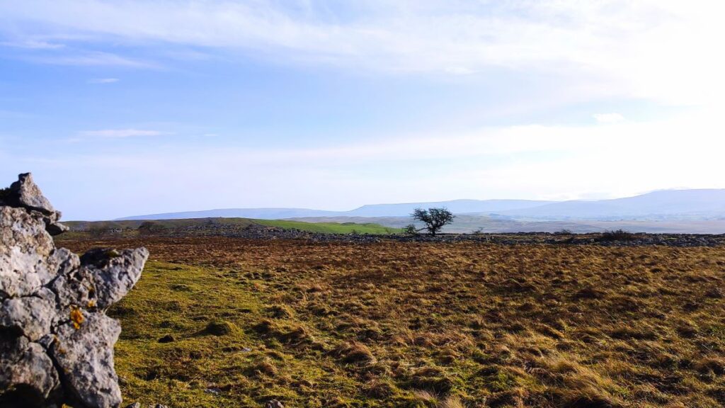
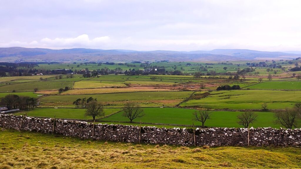
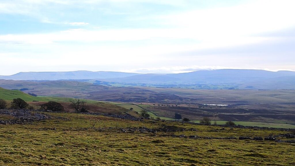
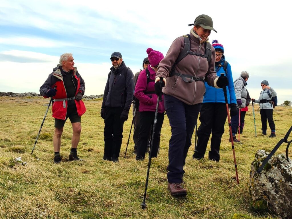
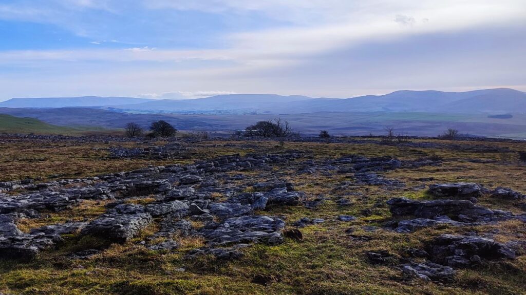
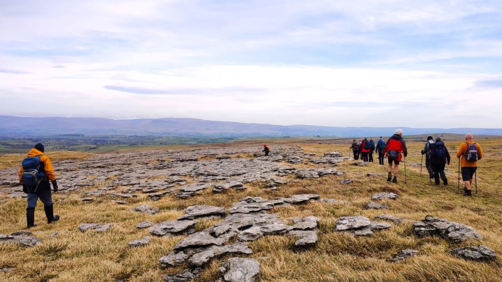
We carry on heading west through the pavement keeping the drystone wall to our left as both an aid to navigation, and an indication as to where the safest routes can be found. Clearly much attention needs to be paid to finding a safe foothold, but don’t get so distracted that you forget to peer over the wall for great views south to the tarn and onward to the Howgills. Alternatively, you can look right and enjoy views of Murton Fell and glimpses of the valley that leads to High Cup Nick. For a panoramic view from the top of the scar, click here or here
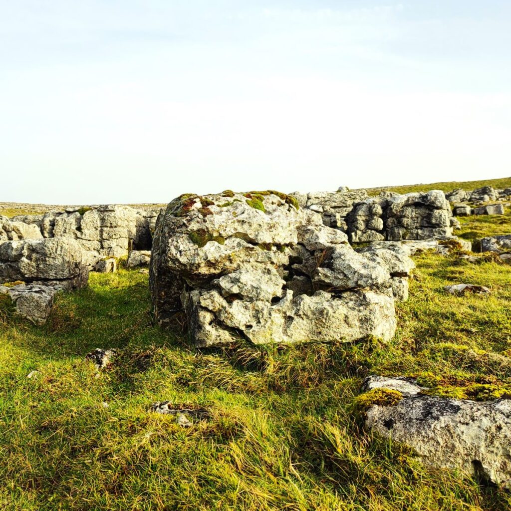
Our next milestone is Castle Folds, an unusual example of a heavily defended Romano-British stone hut circle settlement. It should be visible over to the right about 1.5 km after the first stile where we entered the pavement – if you get as far as another ladder stile, you have gone just slightly too far – look north from here and Castle Folds will be visible.
Unlike many Romano-British settlements which were enclosed or ‘defended’ in such a way as to protect both inhabitants and stock from casual marauders, Castle Folds appears, by the very nature of its inaccessible location and strongly defended stone enclosure wall, to have been constructed in response to a threat of much greater proportions. It survives well, and to a trained eye preserves considerable detail of the layout of the site.
The site includes an irregular enclosure which does not quite cover the entire top of the knoll visible in the picture above. The enclosure wall is constructed of limestone, and it is thought to have originally been up to 2.4m thick. All that remains now is a tumbled-down debris of stone sitting a little over 1m high. However, it is thought to have been 3m high when occupied, with a parapet on top giving a total height of about 4m. There is evidence of a 5m wide entrance in the south side which is approached via an artificially constructed passageway through the surrounding pavement, and within the enclosure are remains of at least 12 roughly circular or oval stone huts arranged against the enclosure wall.
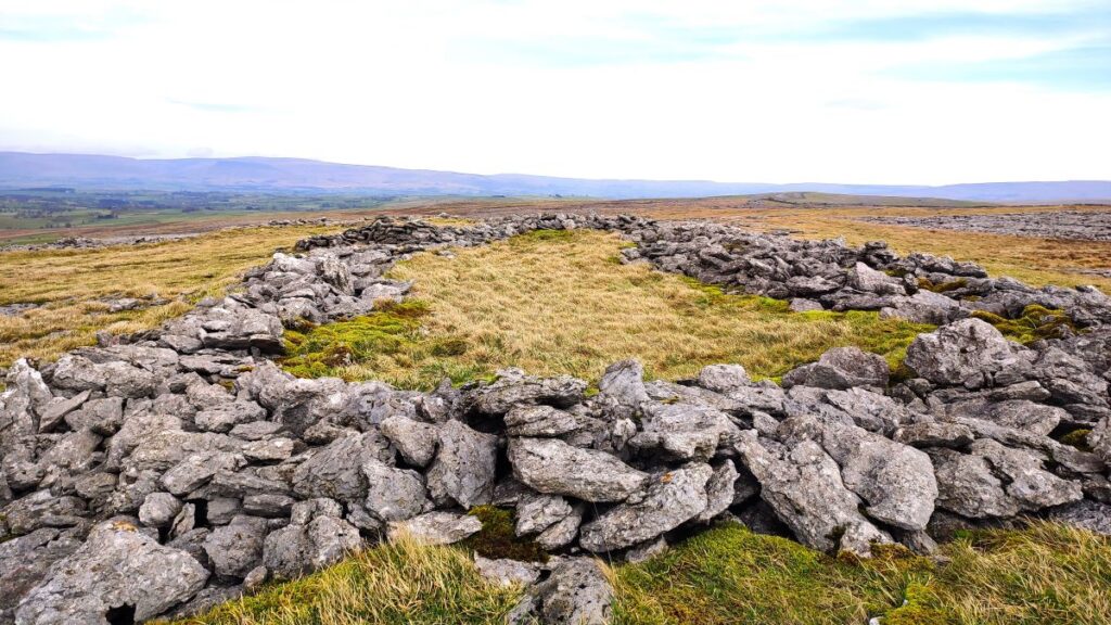
The individual dwellings range between 5.5m – 11.5m in diameter with the three largest located at the south-western, south-eastern and north-eastern corners of the enclosure. A study of the enclosure wall reveals virtually all of the limestone blocks facing the outside of the wall have been torn out, suggesting the defences were deliberately destroyed rather than being subjected to casual stone re-use.
Within the enclosure, and adjacent to the south wall, is a rectangular medieval shieling (i.e. a summer dwelling on a seasonal pasture high in the hills) measuring 22m by 9m externally, with walls up to 1.1m high. There are faint hints of a partition wall in the shieling indicating the structure was originally two-roomed.
For more detail about the history of the site, click here or here
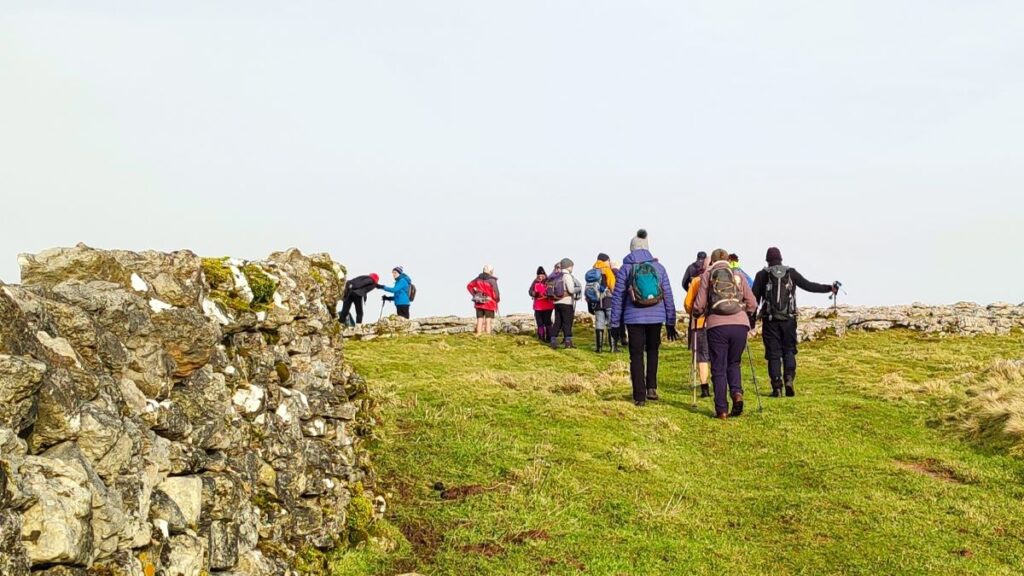
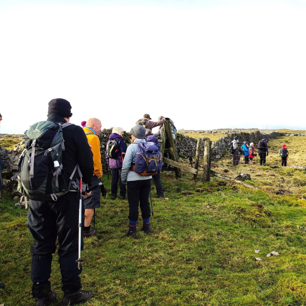
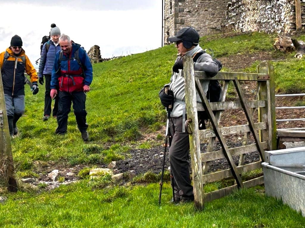
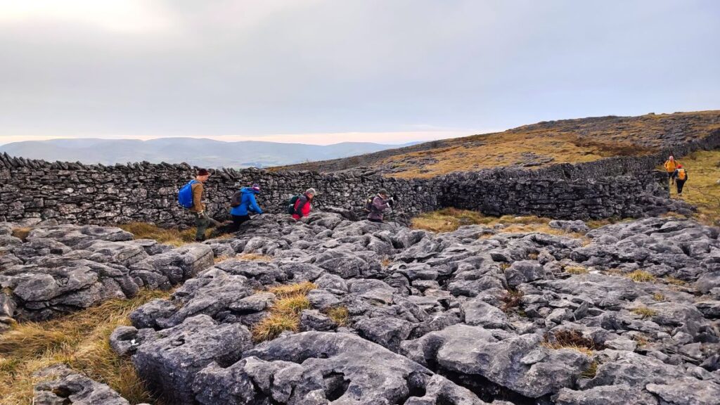
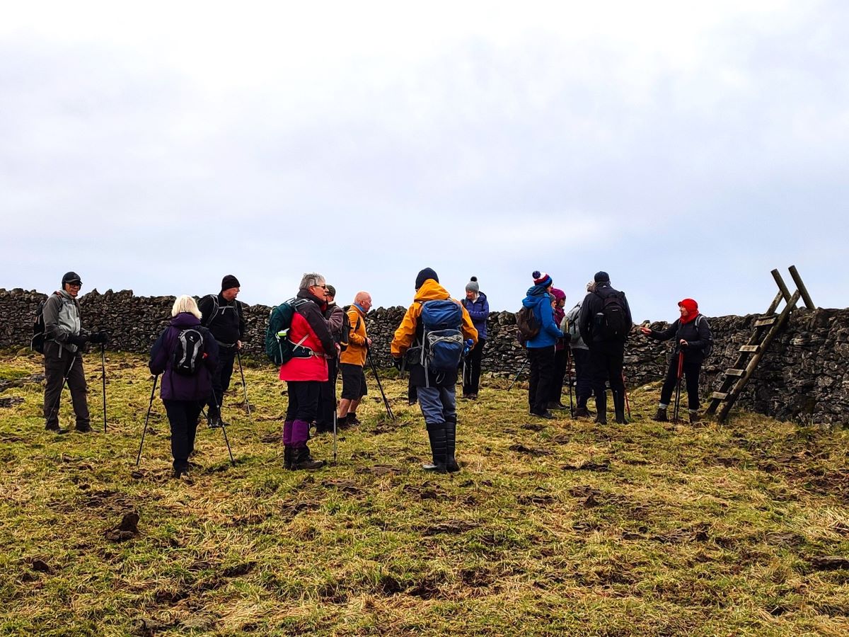
Having had a good look at the remains of Castle Folds, we head back toward the drystone wall where we see a choice of two stiles – a gate stile recently installed, and a ladder stile further to the right – we take the ladder stile and continue to follow the drystone wall for a while.
As an aside – if you want to see the view from the Trig point at the top of Great Asby Scar at 412m – that’s just through the newer stile, but if you make that short diversion don’t be tempted to stay on the other side of the wall – the much better route is the one we outline.
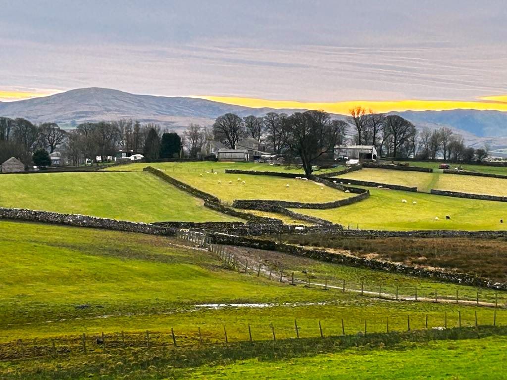
We now continue to follow the wall – still on our left – until it heads downhill to meet the footpath coming up from Asby Winderwath Common – a path that Bentham Footpath group used on our Orton, Beacon Hill & Great Asby Scar walk. At the bottom of the valley, we find a gate and information board detailing the nature reserve and we head left now on much easier flat meadow.
As we walk gently uphill, we see Beacon Hill and the monument to Queen Victoria in the distance over to our right, and then after no more than 300m find a crossroads in the path, along with a fingerpost and distinctive gate. Here we head left going down through the gate to follow a path round the edge of Great Asby Scar – we are now on the return journey.
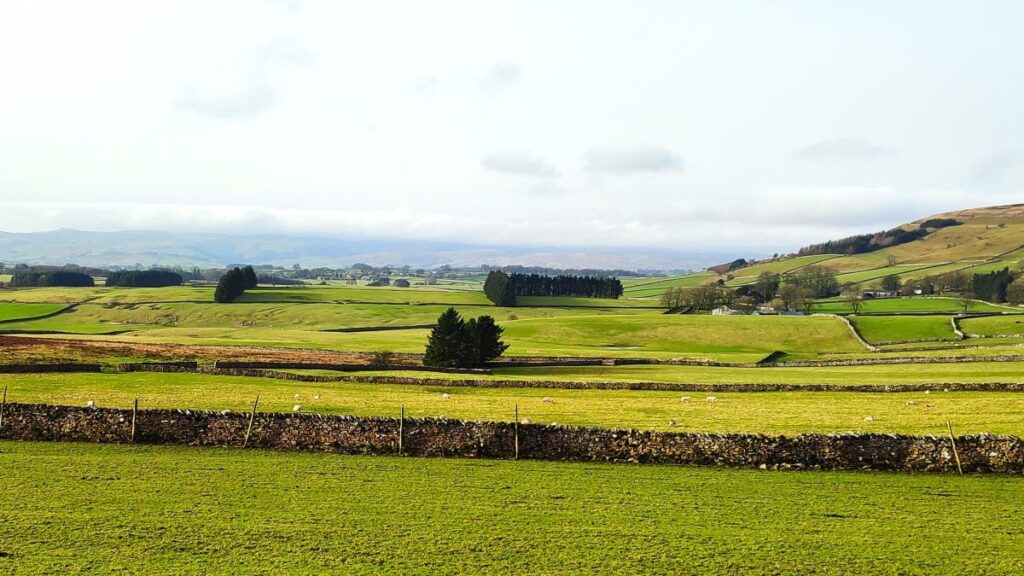
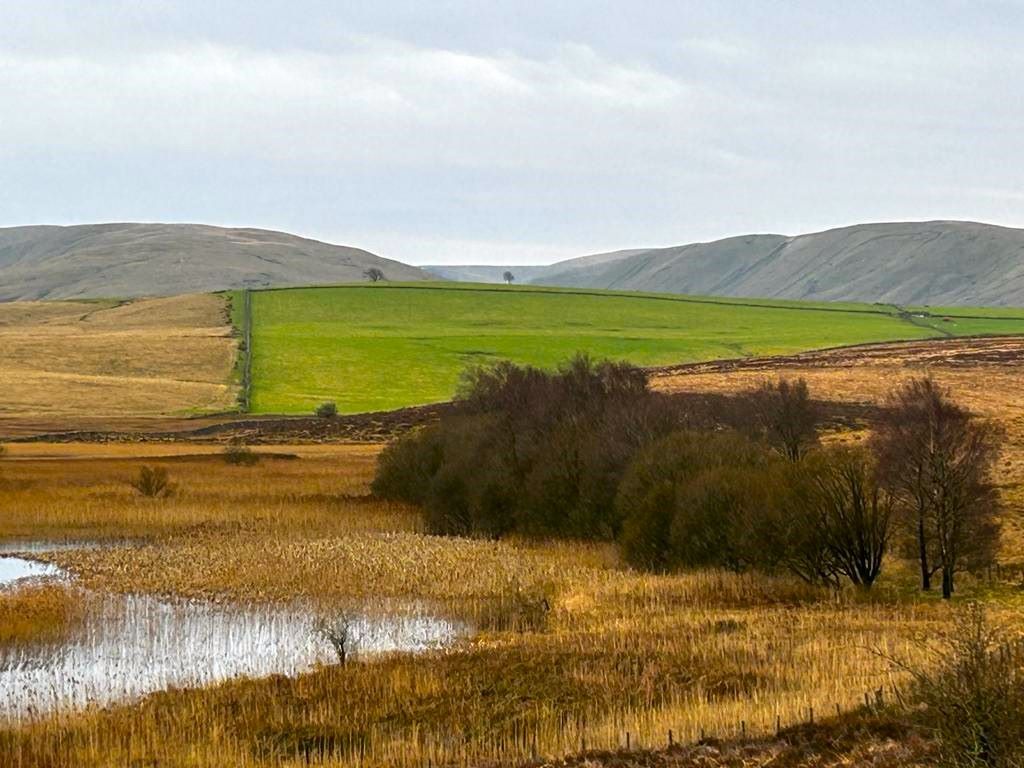
The path now heads south, and as we progress downhill, we get good views to the right over to Orton, and as we pass an enclosed reservoir on the hillside, we see start to see the Gamelands stone circle visible in the flat land ahead.
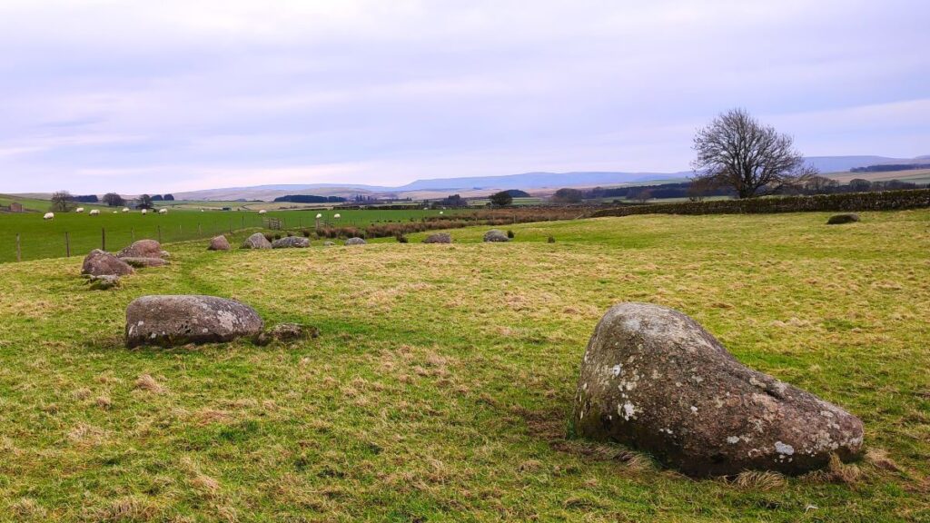
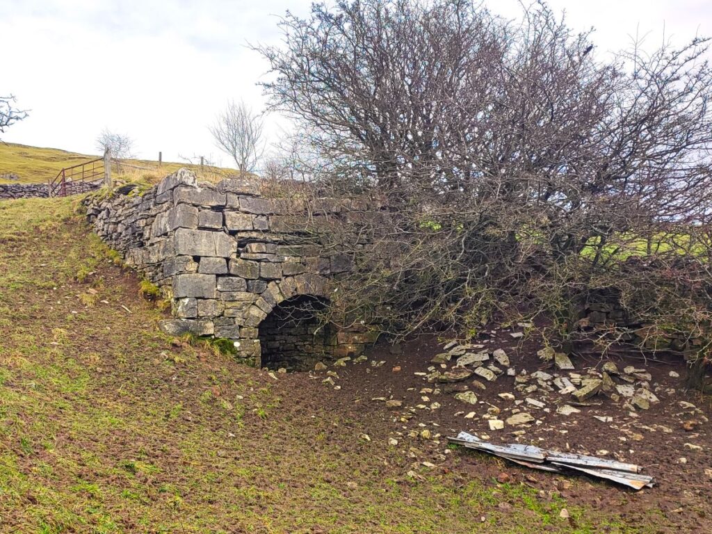
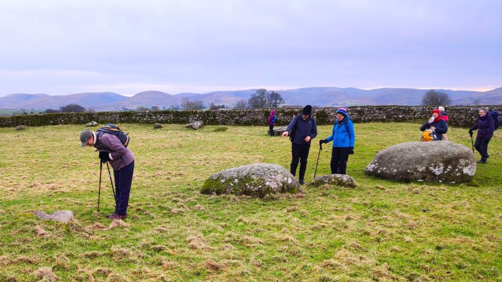
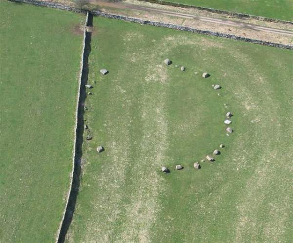
Our path soon arrives at a gate giving access to a wide green lane, which we follow, passing a lime kiln, until we have the stone circle and its access gate on our left, and we take a few minutes to explore this ancient monument which is thought to date back to the period between 1800-1400 BCE.
Although partially destroyed, it is still recognisable. The circle is actually oval shaped, 44.5 by 37.5 metres and built on a low bank. It is in an attractive and peaceful setting which once boasted 40 stones but farming over centuries has either damaged or reduced them, such that there are now only 33 stones visible. Archaeologists class the monument as a flattened and embanked stone circle. The stones, which are mostly made of Shap Granite, stand no more than 1 metre above ground. For more insight into the Gamelands circle, click here
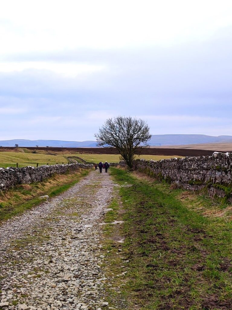
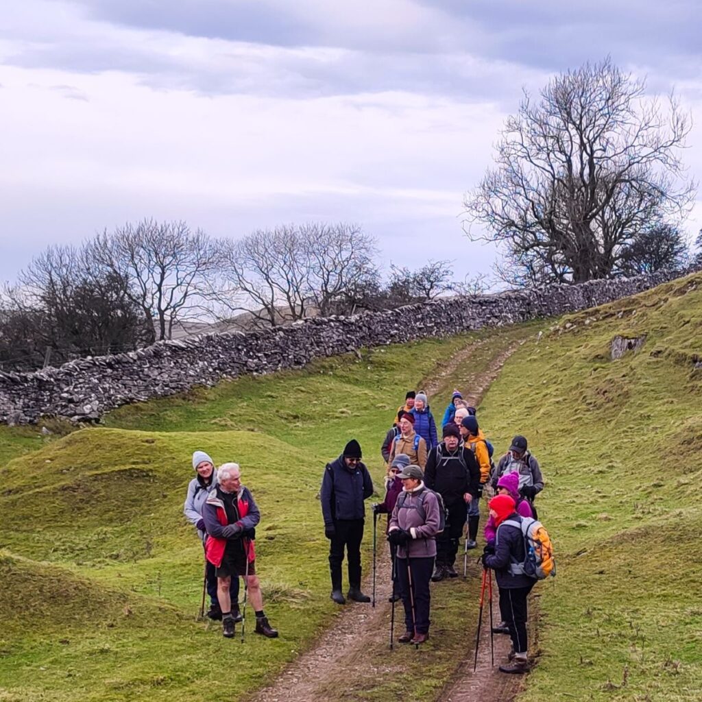
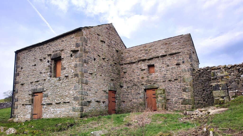
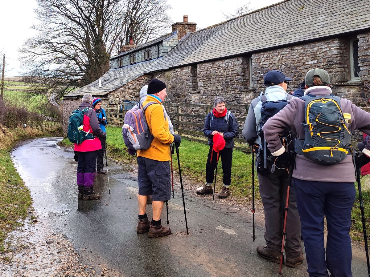
Our route back to the tarn is along the flat ground at the base of Great Asby Scar, and we start by heading back up the lane (called Knott Lane) looking for a finger post on the right directing us along the Coast to Coast path. This is a well-used path, so the way should be very clear, but in essence we walk through a number of fields, passing a well renovated barn until we arrive at a minor road in front of a row of cottages. Here we turn left and walk along the road for a while – it only serves one farm, so you are unlikely to meet any traffic.
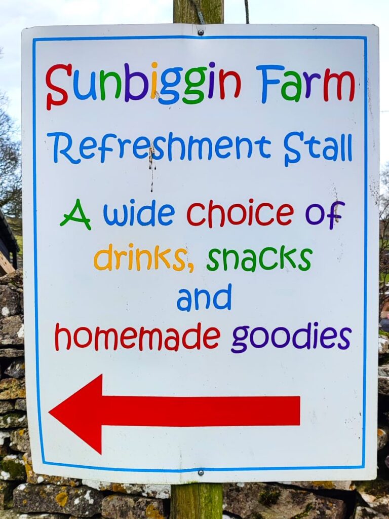
We pass Sunbiggin Farm (which offers refreshments in the summer) and then the road becomes a track we continue to follow. We are now heading directly toward the tarn, but the track we are on soon curves round to the left so to find the tarn we need to branch right – there is a marker board detailing the paths on the Open access land that we can use as a landmark. From there, the path is clear and just 400m later we are back at our starting point.