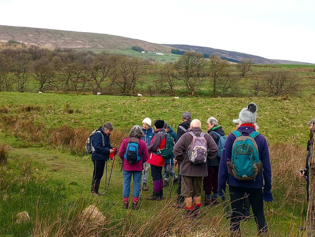
Bentham Footpath Group members are lucky enough to have the Yorkshire Dales and the South Lakes within easy reach. But our good fortune is not limited to that – we are also on the edge of the Forest of Bowland, which of course includes Gisburn Forest and Stocks Reservoir – which we explore today.
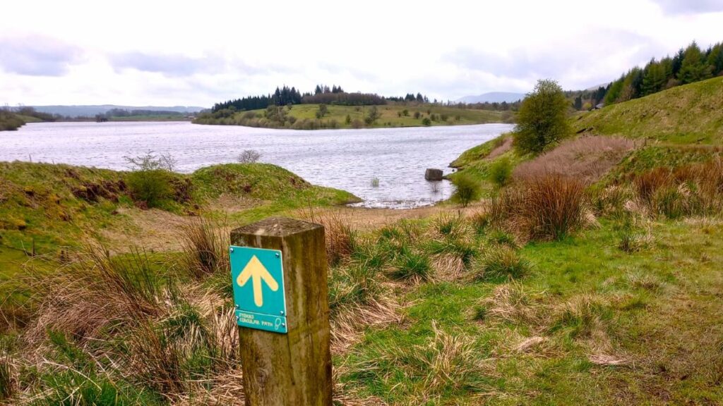
This walk starts from a car park next to the remains of a church that was relocated to enable the reservoir to be built, and then loops anticlockwise around the water – meaning that there is not much climbing.
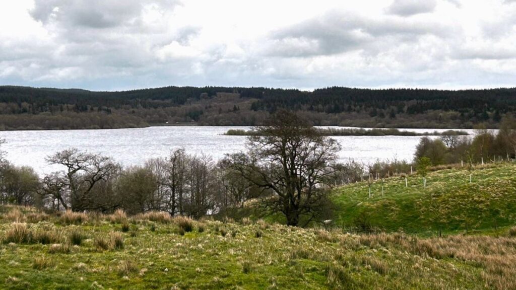
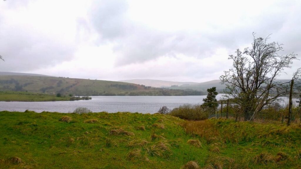
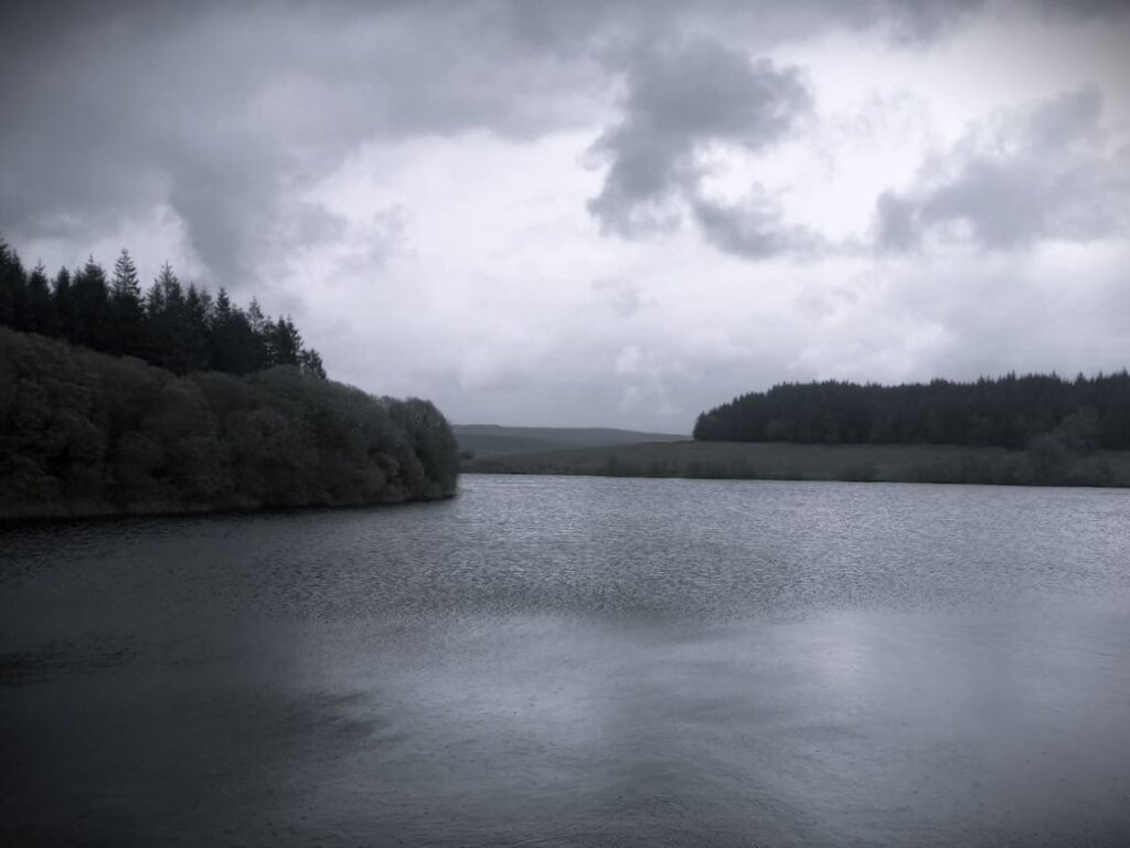
We have been here before (September 2022) and at that time the water levels were deliberately very low – as part of engineering works to increase capacity in the long term. This time we get to see the levels replenished and the works complete – the contrast is striking. On the way round, we see signs of the buildings that were abandoned to enable construction, traces of the railway that enabled materials to be imported, and foundations for the village that temporarily housed the army of builders, as well as a more recent and very poignant woodland memorial site.
Stocks Reservoir belongs to United Utilities and sits within the Forest of Bowland Area of Outstanding Natural Beauty (AONB). So in addition to the walk we present here, lots of other information and alternate trails can be found at the Forest of Bowland website and the United Utilities website
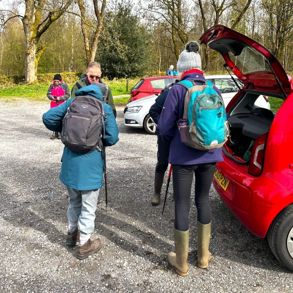
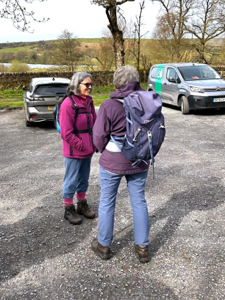
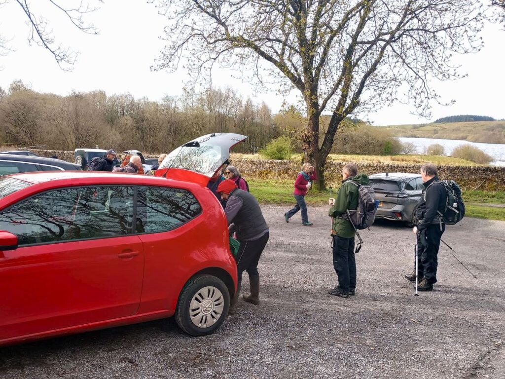
We start from a car park at the site of the old St James church. There is a modest charge for parking – although our experience has been that the machines are often out of action. If parking is not available there, try roadside parking at the causeway, or at the AONB “Hub”. Both are visible from the road and are just a short walk from the suggested start.
To help with navigation, satnav users can enter the postcode BB7 4TS or Hole House Lane, whilst the grid reference on the OS map is SD73205653. If What-3-Words is your preferred tool, then the tag defenders.aware.destiny pinpoints the car park.
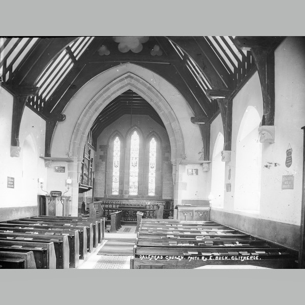
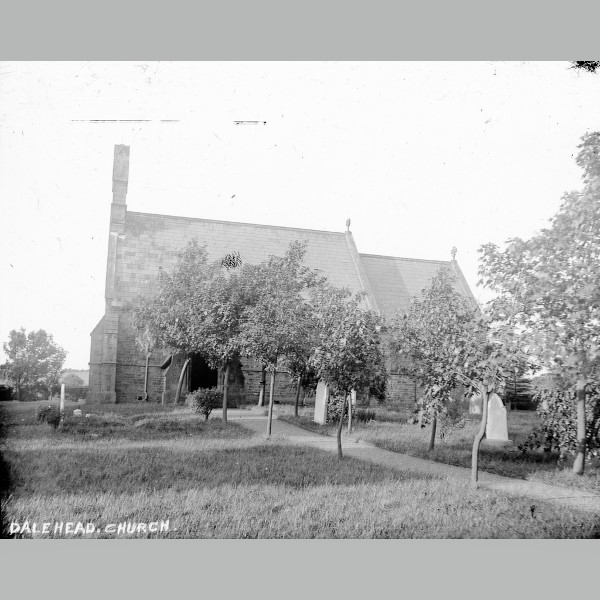
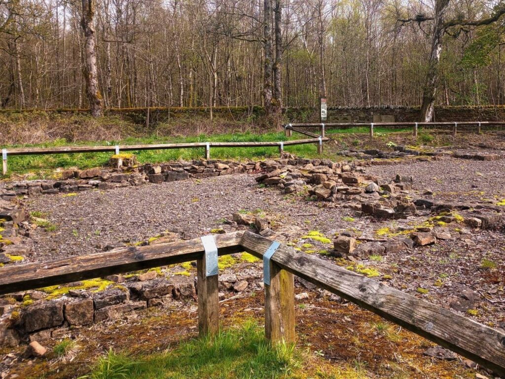
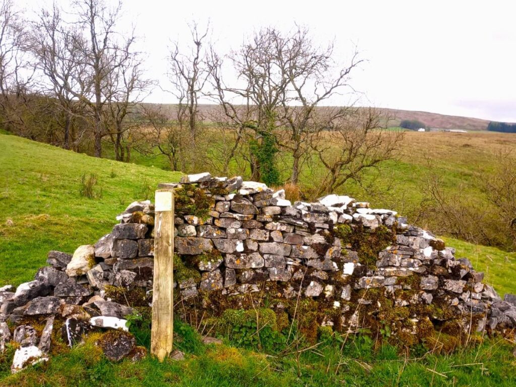
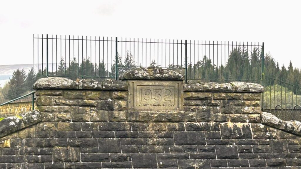
Adjacent to the parking area is the site of the old St James church which was moved to enable building of the Reservoir in 1932 by the Fylde Water Board. The reservoir still serves to supply Blackpool and the surrounding areas with drinking water.
The outline of the church is clearly visible, and the church is not a ruin in the sense as having fallen into disrepair – it’s more accurate to say it was recycled – as most of the stonework was re-used in the current St James – a short distance past the far end of the causeway.
Looking at the remains, it’s easy to imagine that they are ancient, but 1932 is relatively recent, and so photographs of the church, and indeed much of the wider area prior to the building of the reservoir are available. These pictures for example come from the excellent redrose website which is well worth exploring:
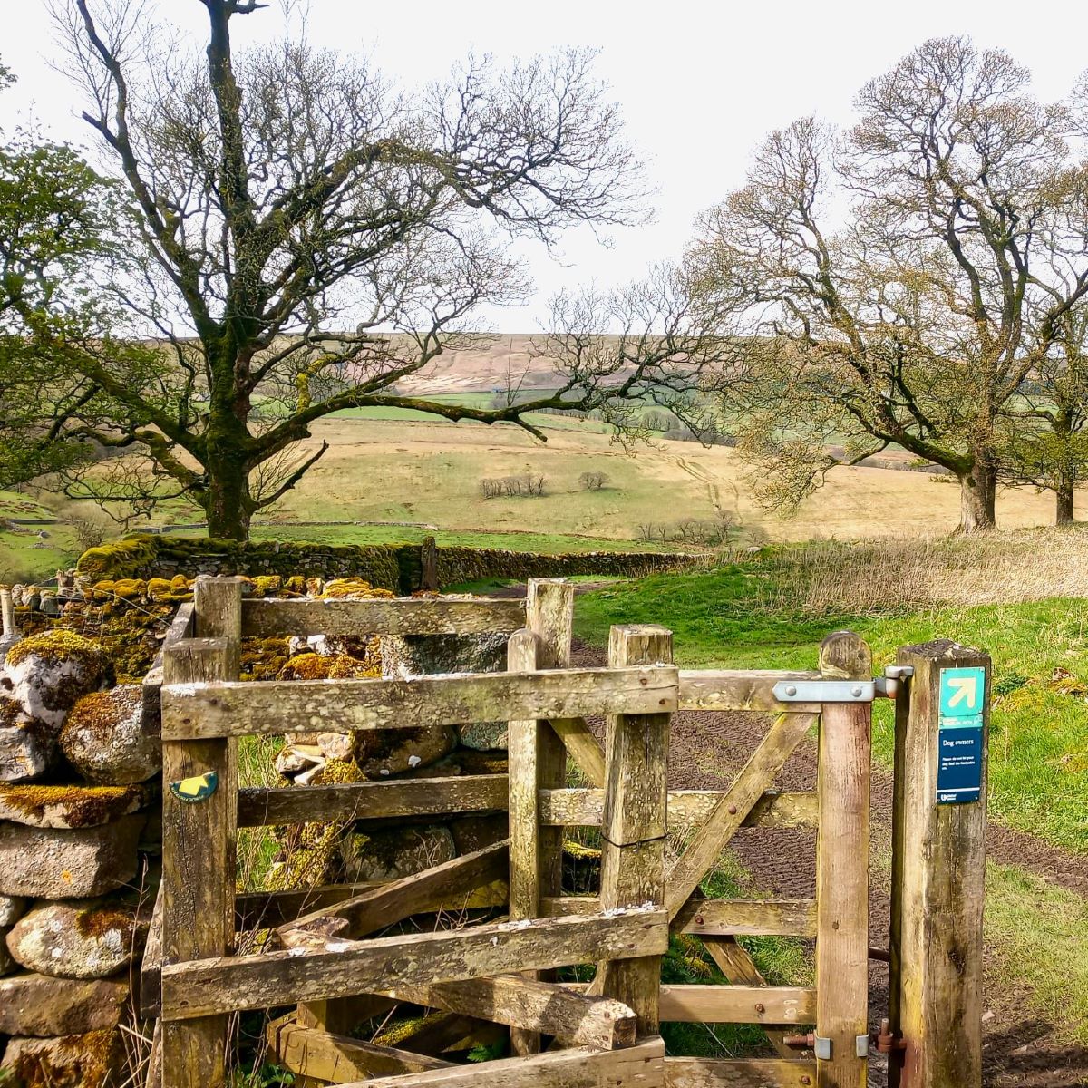
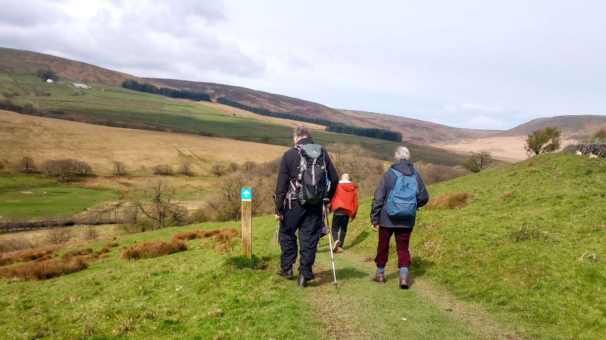
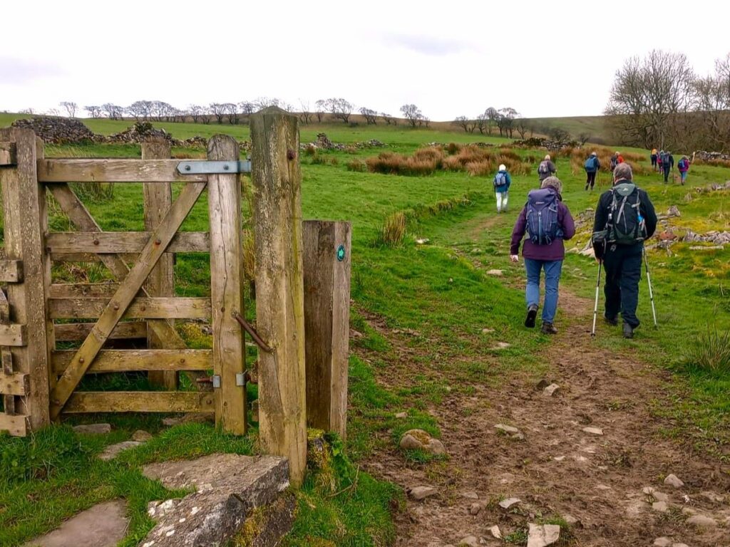
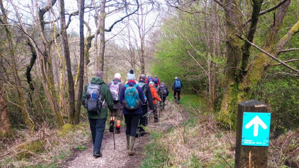
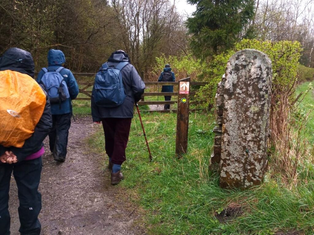
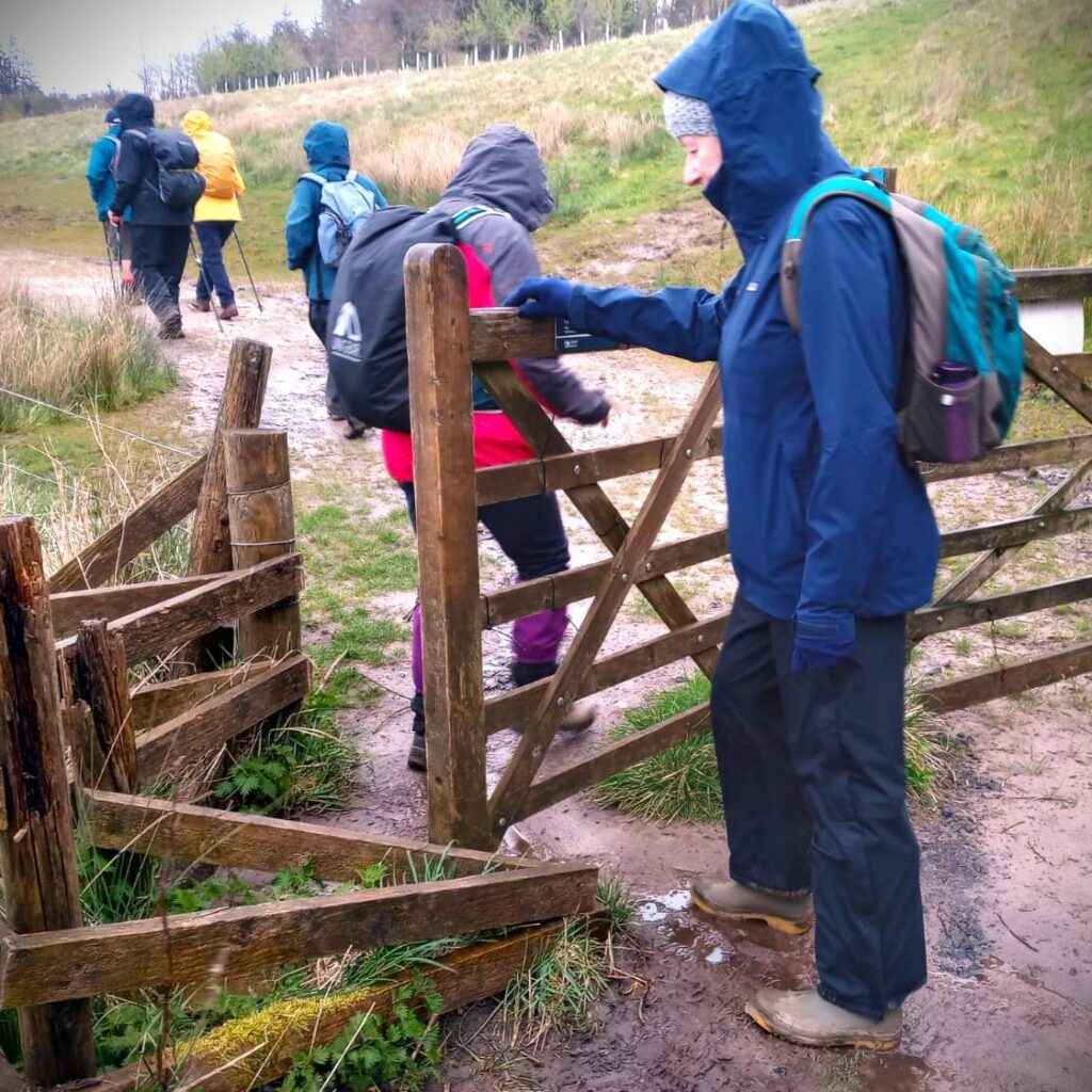
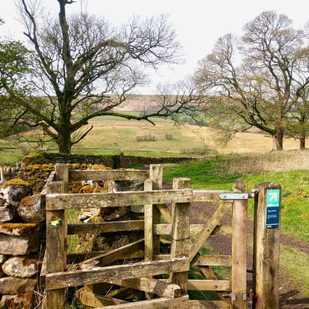
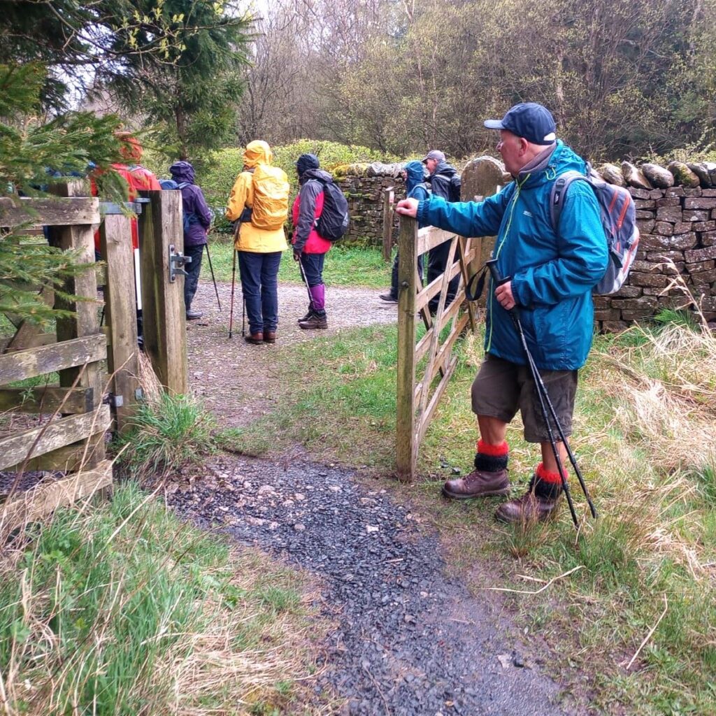
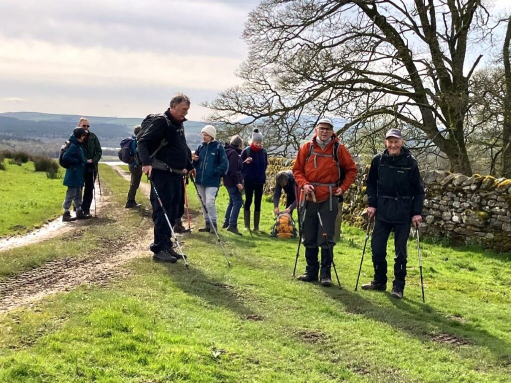
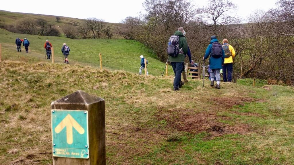
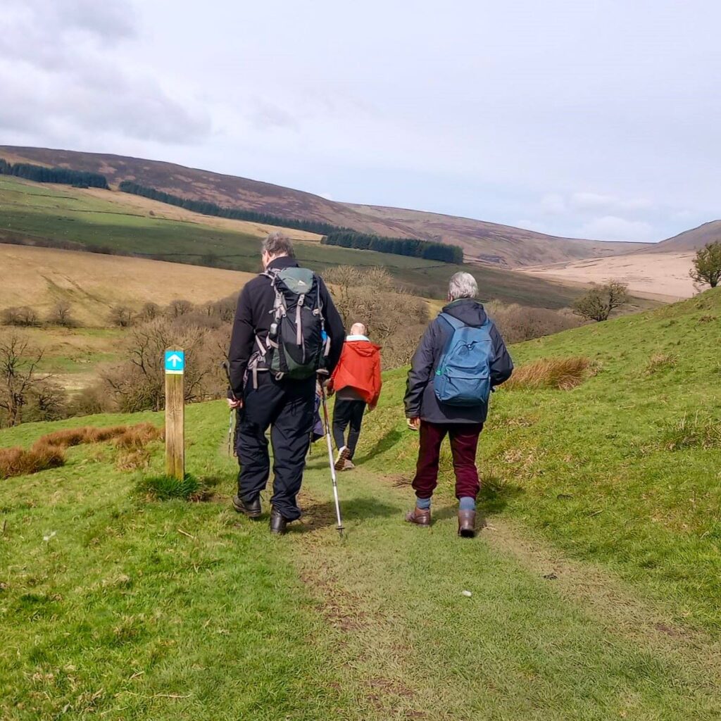
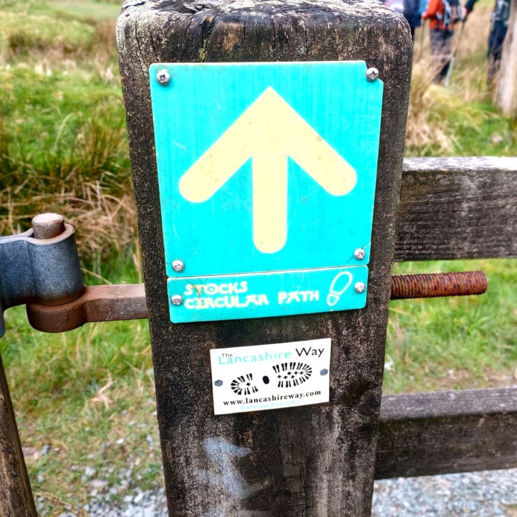
At the far end of the car park, we see a wide gate leading onto a well surfaced track – we follow this route for a while, ignoring smaller paths leading off on either side.
The further we progress, the smaller the track becomes, but at no time is navigation difficult, or anything other than obvious.
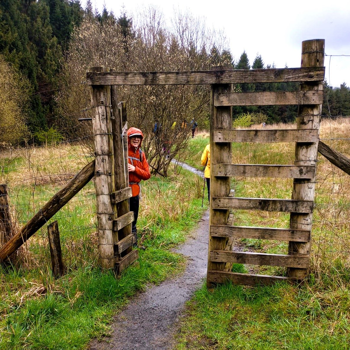
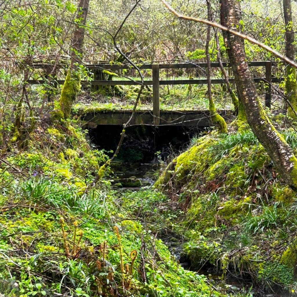
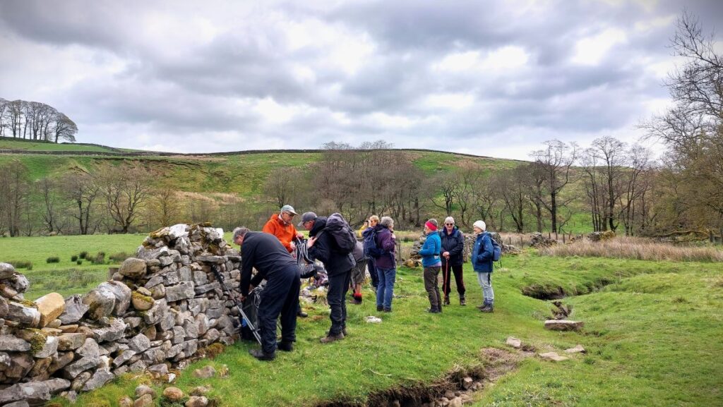
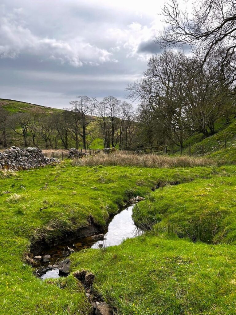
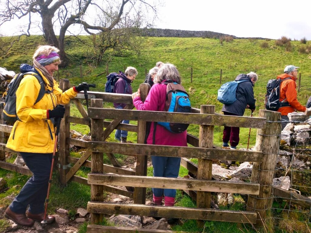
We soon arrive at a five bar gate with a kissing gate to the left, and we pass through here to follow the track down and slightly to the left through a field and down to a concrete slab bridge over a beck.
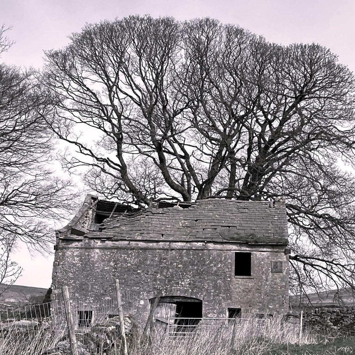
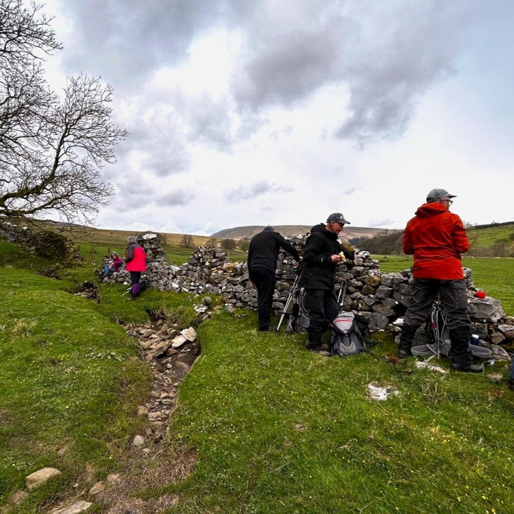
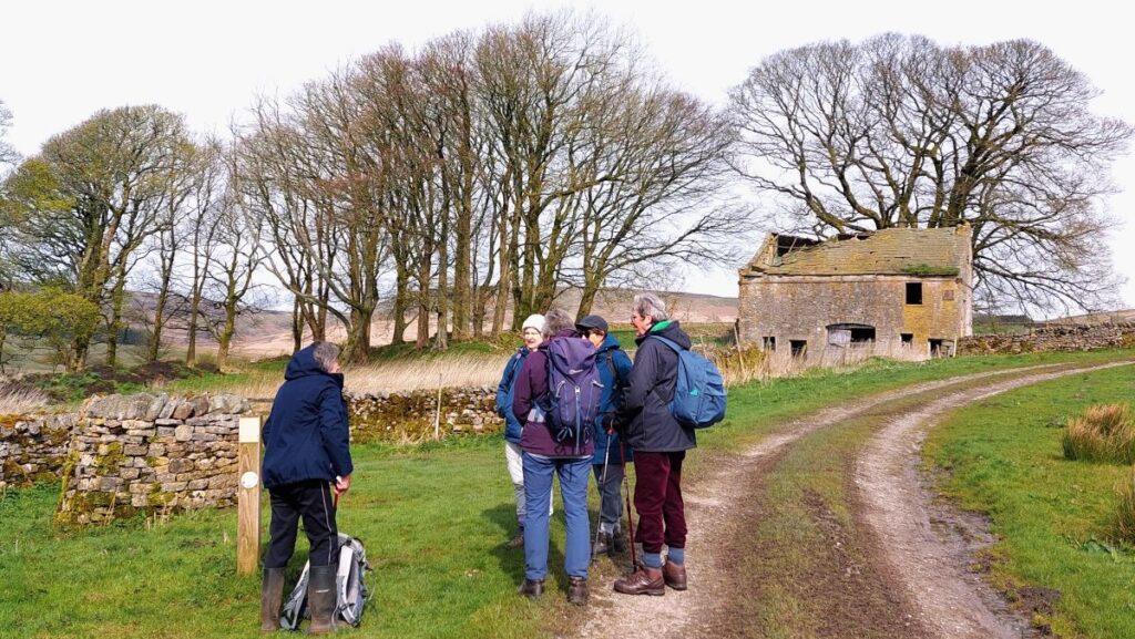
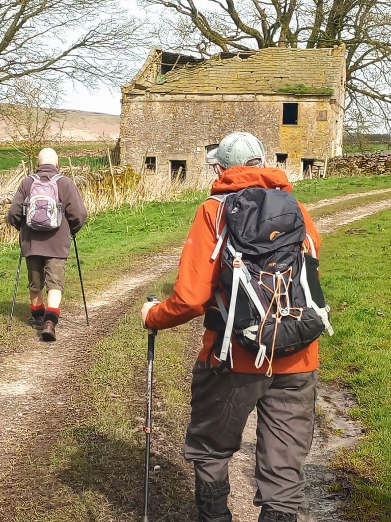
On the far side of the bridge, the lane heads uphill, and we follow it with a drystone wall on our left until we see an atmospheric abandoned farmhouse ahead of us – this was Newhouse farm, and like many others, it fell into disuse when the reservoir was built – not because the building itself was affected, but because the flooding of many acres of land left the farms non-viable.
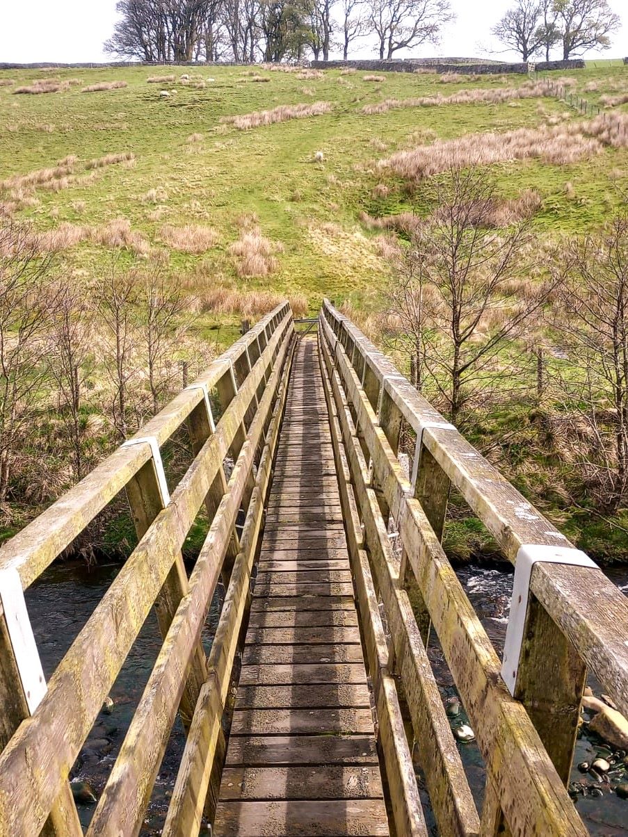
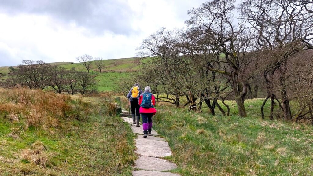
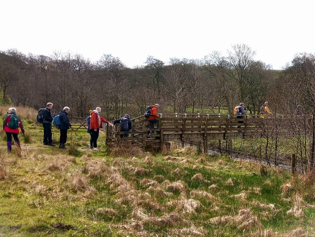
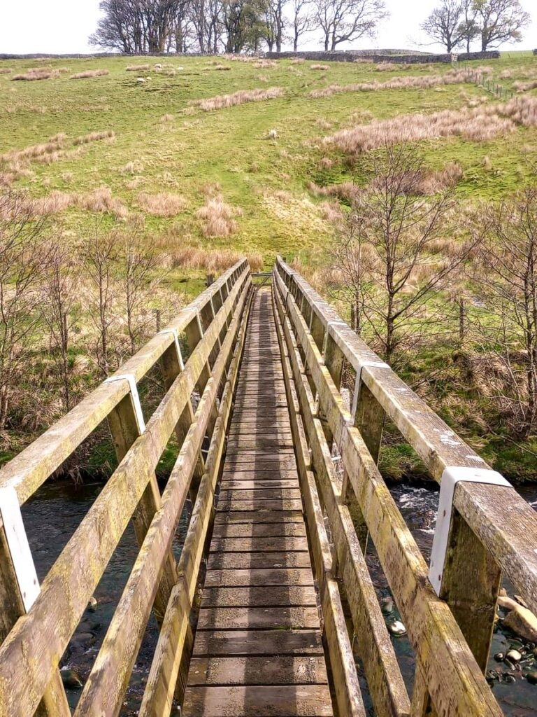
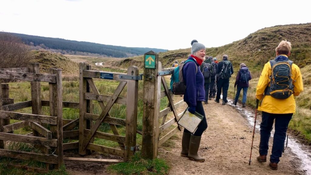
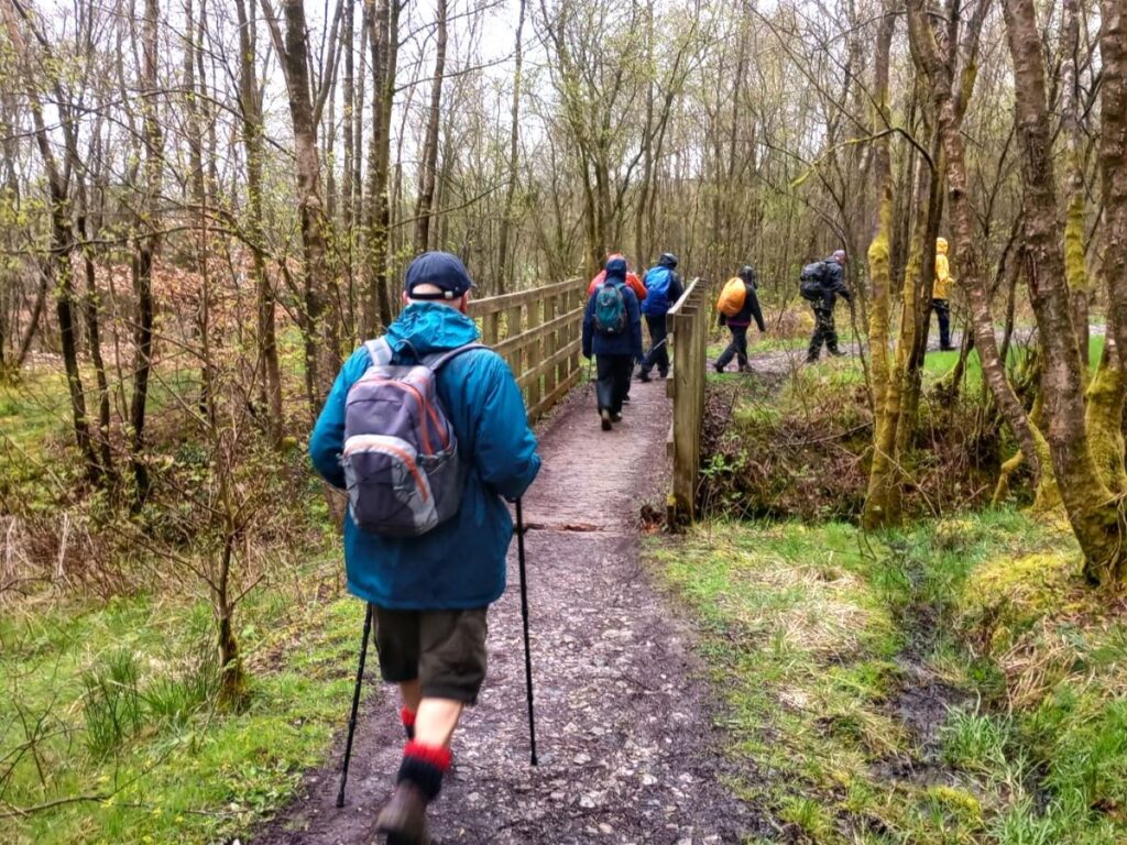
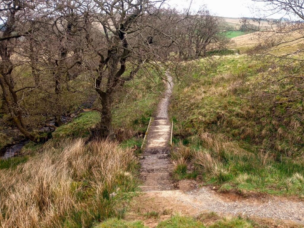
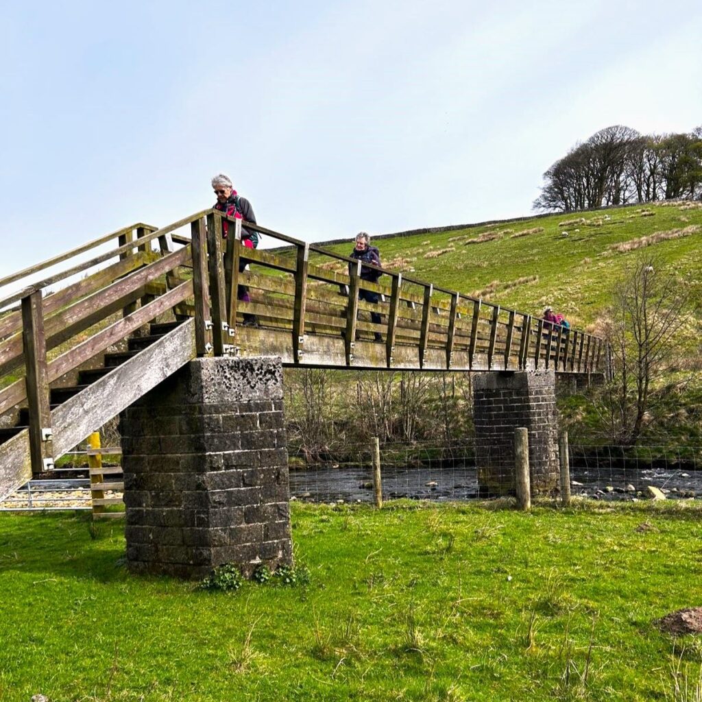
At the old farmhouse, look out for a track on the left just before the farm and follow that downhill to a gate. This takes us onto an area of open pasture with good views – both across the valley and down to a wooden footbridge, which is where we need to head.
The sides of the valley are steep at this point, and the path meanders down in a zig zag fashion, so don’t feel too concerned if it feels like we are heading away from the bridge initially.
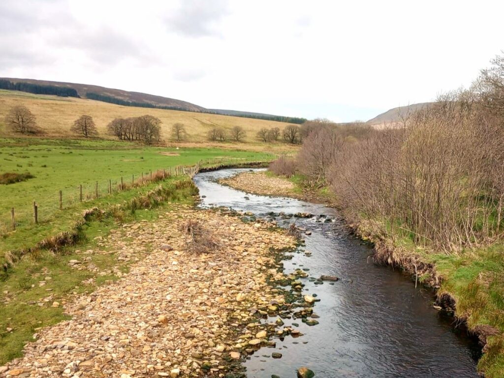
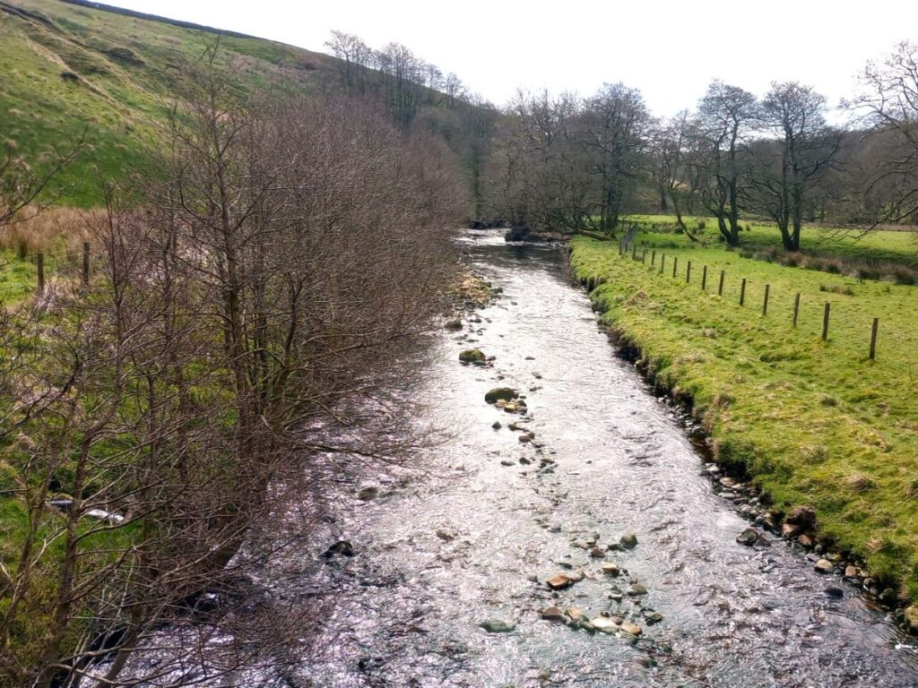
At the bridge, we cross the river. This is the Hodder – the main source of water for the reservoir, whose origin is on Red Syke Hill near the Slaidburn Road out of Bentham. We have a number of walks that involve the Hodder – use the keyword search on our “Search for Walks” page to find them.
At the far end of the bridge, there is a clear route diagonally across the field to a gate – this is easy to see but does not really coincide with the path noted on the OS map, so don’t worry too much if you are using the OS app and we seem to be off track.
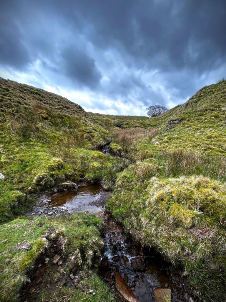
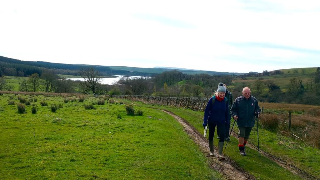
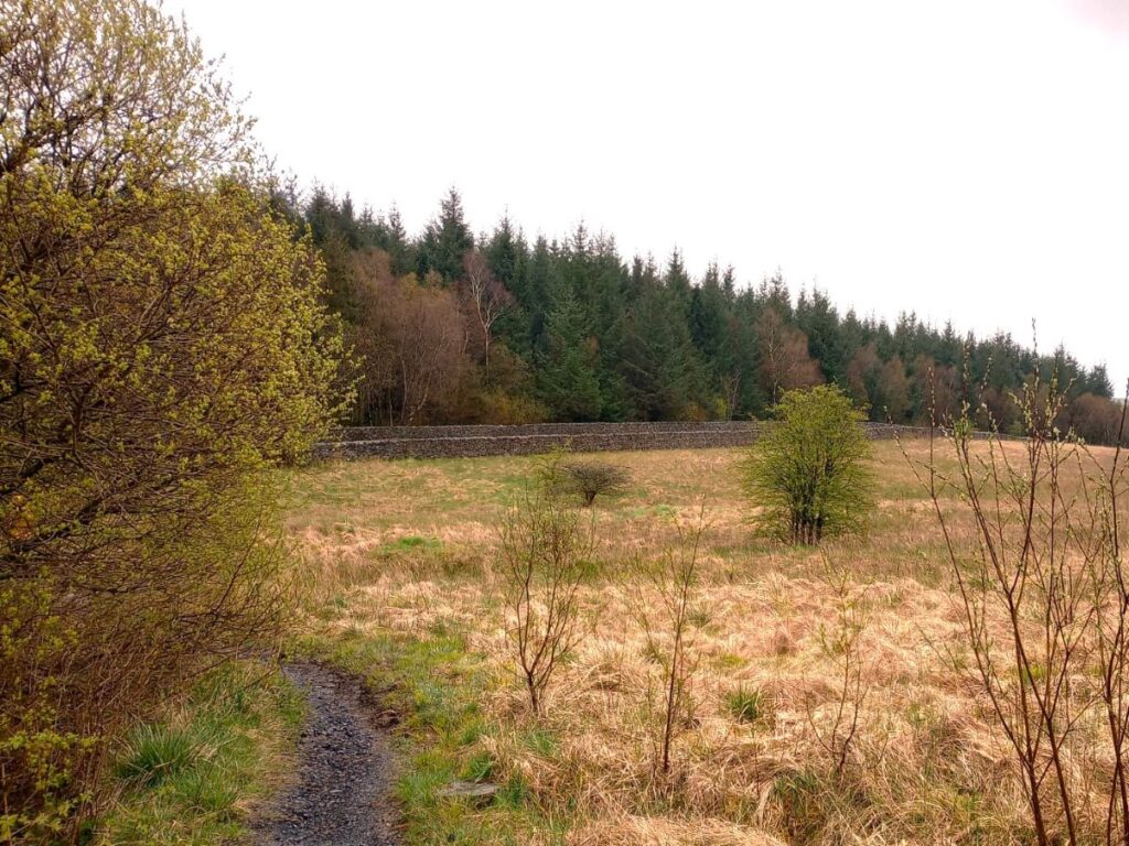
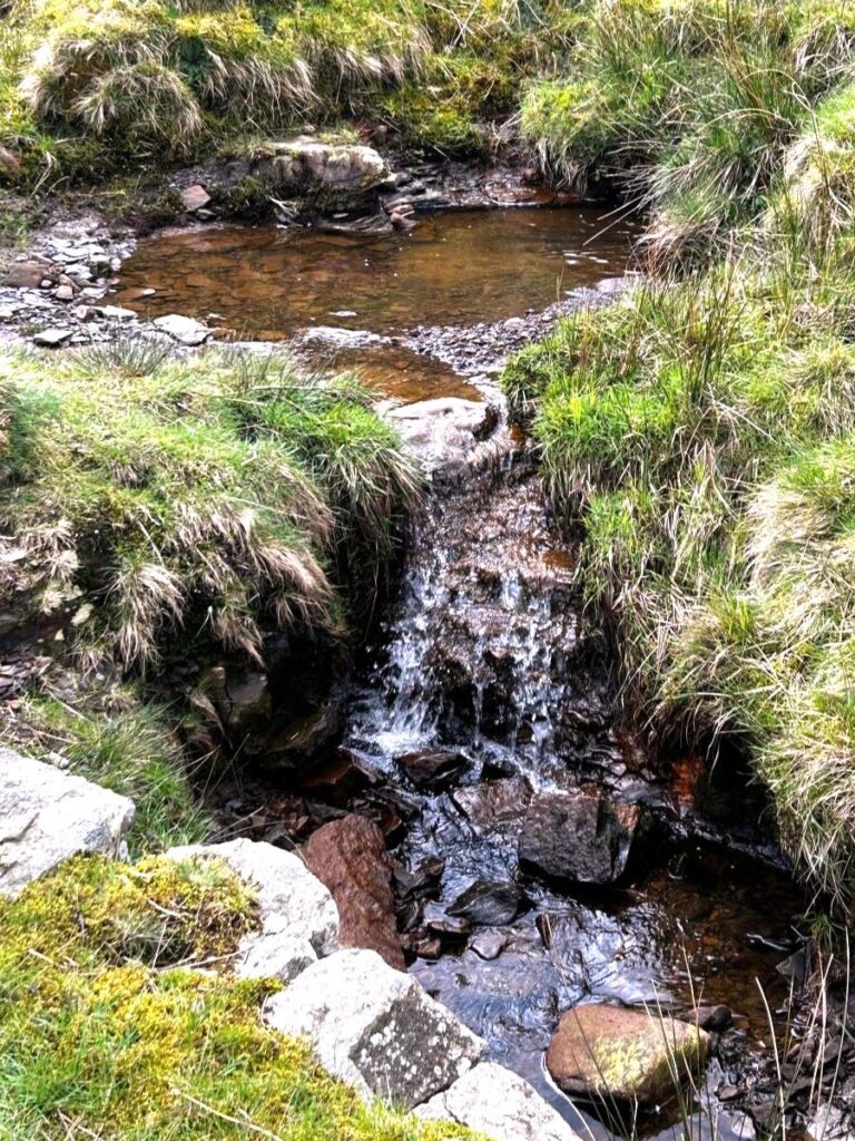
From here the path follows a beck upstream – with the water on our right at all times – and as we climb further up the slope, we see a larger track crossing the path we are on. We turn left at the track and head slightly downhill.
We are now on what was once the railbed of a narrow gauge rail system that was used to transport building materials and day to day supplies to the dam site during the construction phase. An extensive 3 foot (914 mm) gauge industrial railway system linked the dam works with a railhead on the Long Preston-Slaidburn Road. Nearby stone quarries were also served by the railway, and steam traction engines hauled building material between the Tosside railhead and a water board yard adjacent to Long Preston railway station.
We follow the old rail bed for a while now, generally in a southeasterly direction, and again we find that the clear and obvious route on the ground differs from the published route on the OS map by a few metres.
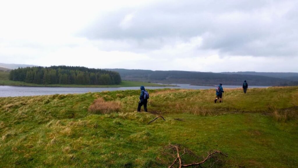
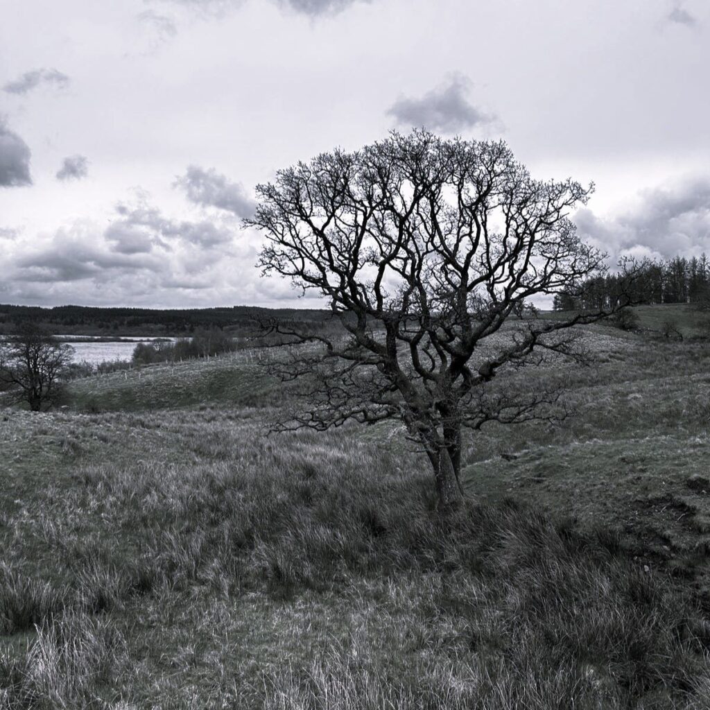
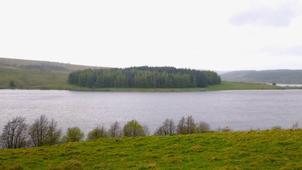
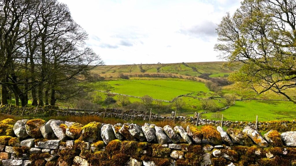
The track soon starts to bend to the right, following the contours of the adjacent Eak hill, and we now start to get good views over the water toward the dam at the Southern end of the reservoir.
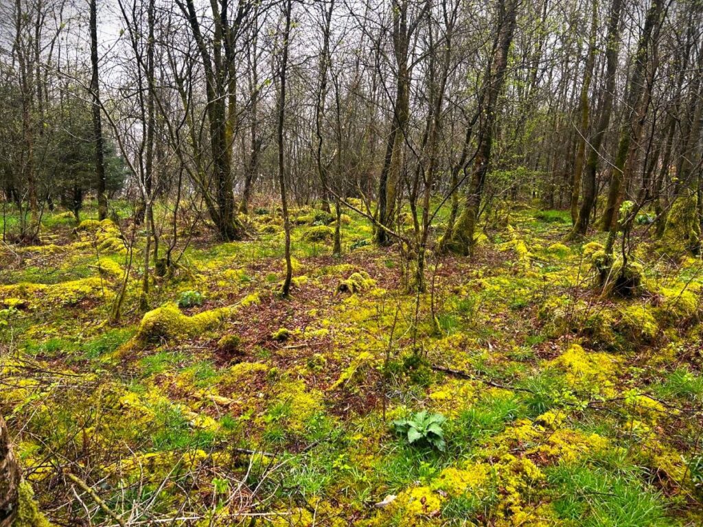
A little further round Eak Hill, and we find ourselves at the shore of the reservoir with a building (until recently a café) ahead of us. We pass the building on the right, and head downhill now on a small, metalled road. From here we continue in the same direction as before and almost immediately find ourselves in the Bowland Memorial Forest, a site run by a not for profit organisation called life for a life, which uses donations to plant trees and provide memorial benches in a variety of beautiful locations as well as raising money for charity.
Slightly further on, keep a look out for the remains of low concrete walls and other built structures on both sides of the road. These are the remains of the buildings that formed a temporary village called Hollins which housed more than 500 men involved in the building of the dam. These “lost” villages are a feature of grand infrastructure projects from previous eras, and as a group we have also encountered them on our walks at Ribblehead & Chapel-le-Dale and Tatham Fells, the latter also being a water supply project.
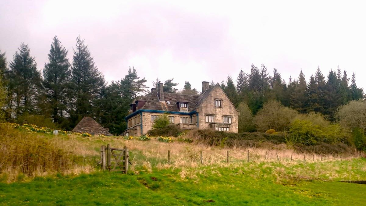
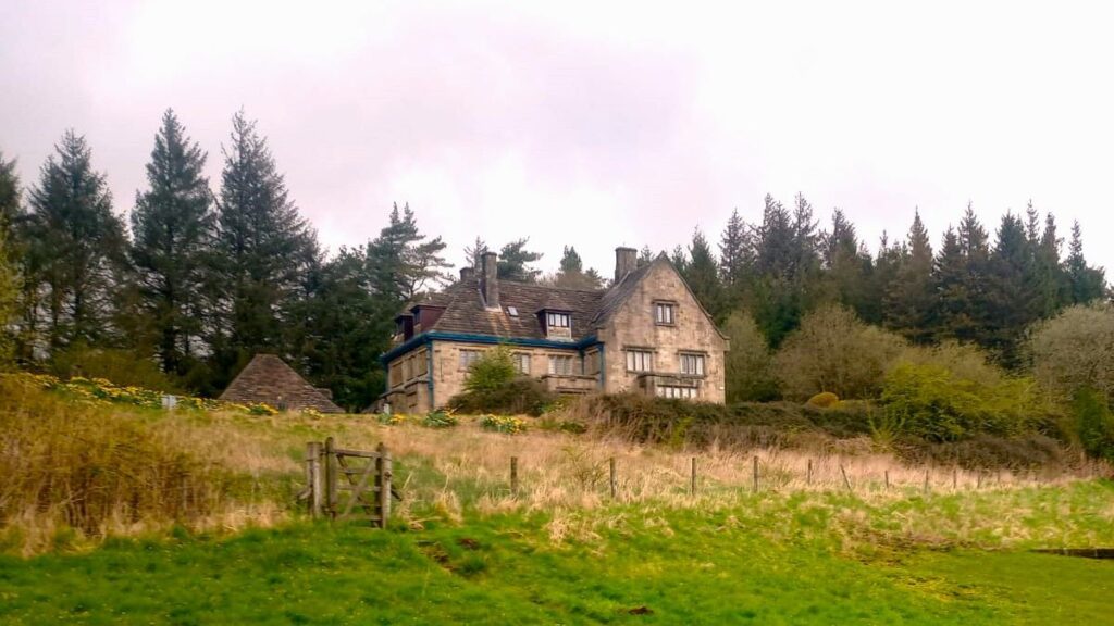
Further on still, the road starts to bend left, and we see the Board House – the grand house used by the Fylde Water Board, and more recently by United Utilities as a meeting place and training centre. It seems safe to assume that the conditions in Hollins were somewhat less plush than Board House.
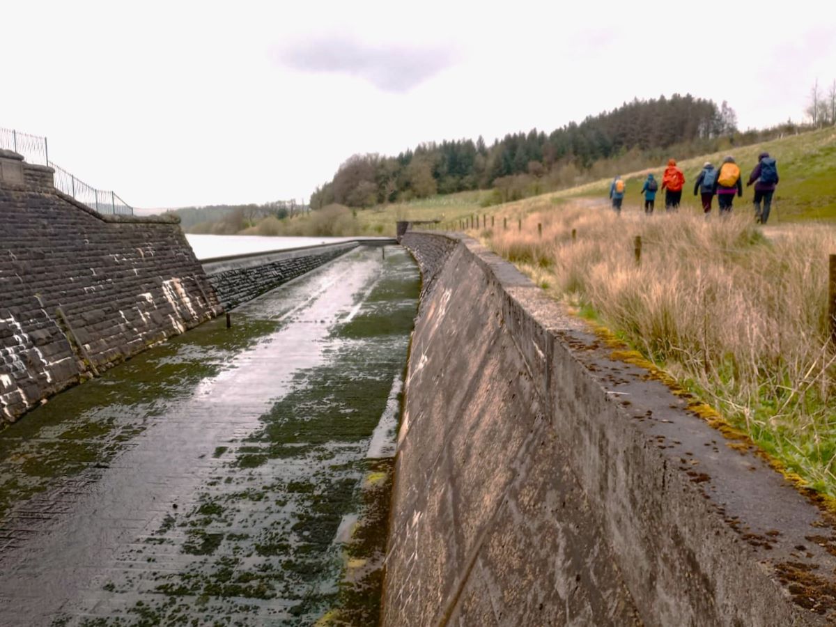
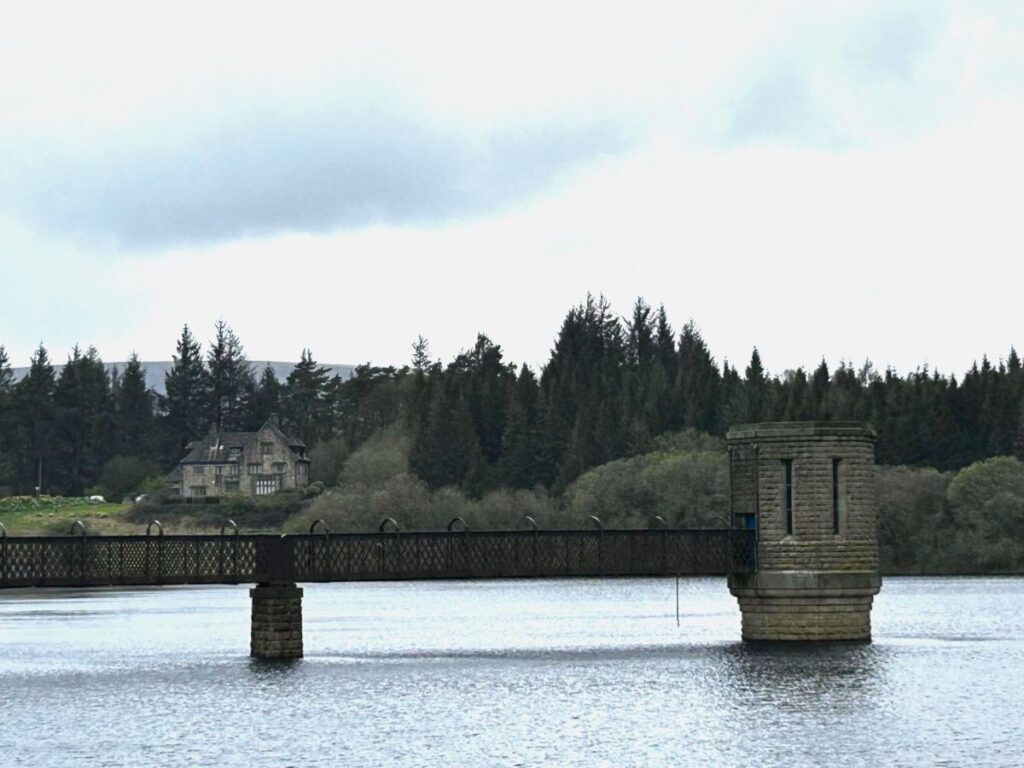
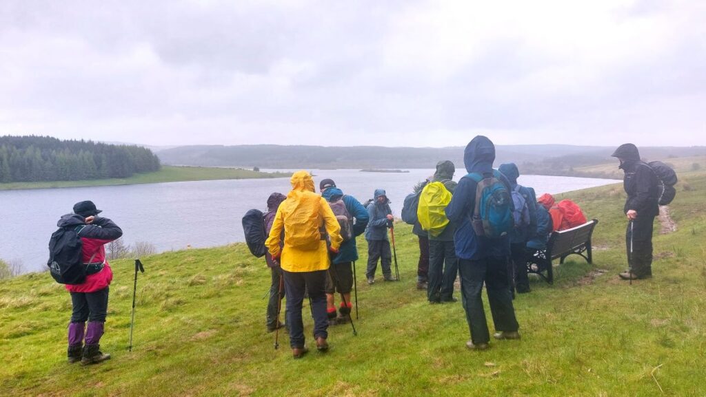
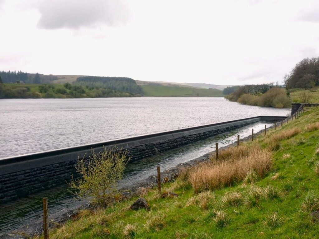
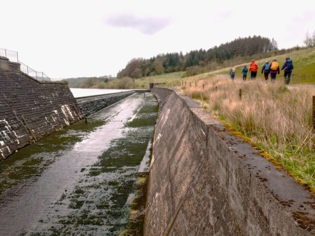
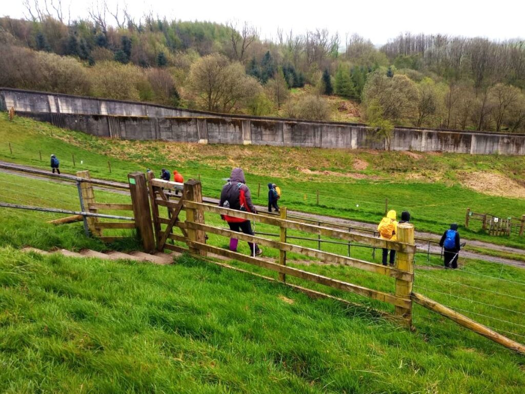
We are now at the northwestern end of the dam, and as we pass along the top of the dam we have good views down the length of the reservoir, to our right, whilst to our left we note the two water treatment plants on site – collectively known as Hodder water treatment works: Looking down from the dam, the original works are on the left, with a larger and more modern addition recently completed on the right.
At the southeastern end of the dam, we cross a foot bridge over a spill way. Under normal circumstances this allows a gentle flow most of the time, as inputs via the Hodder typically exceed drawings by the treatments works. Have a look at the pictures from our 2022 walk to see how the infrastructure here looked when the water level was suppressed to enable building works to progress.
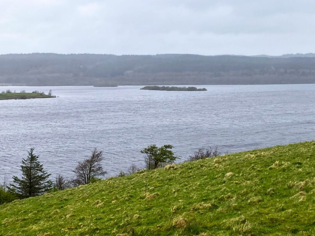
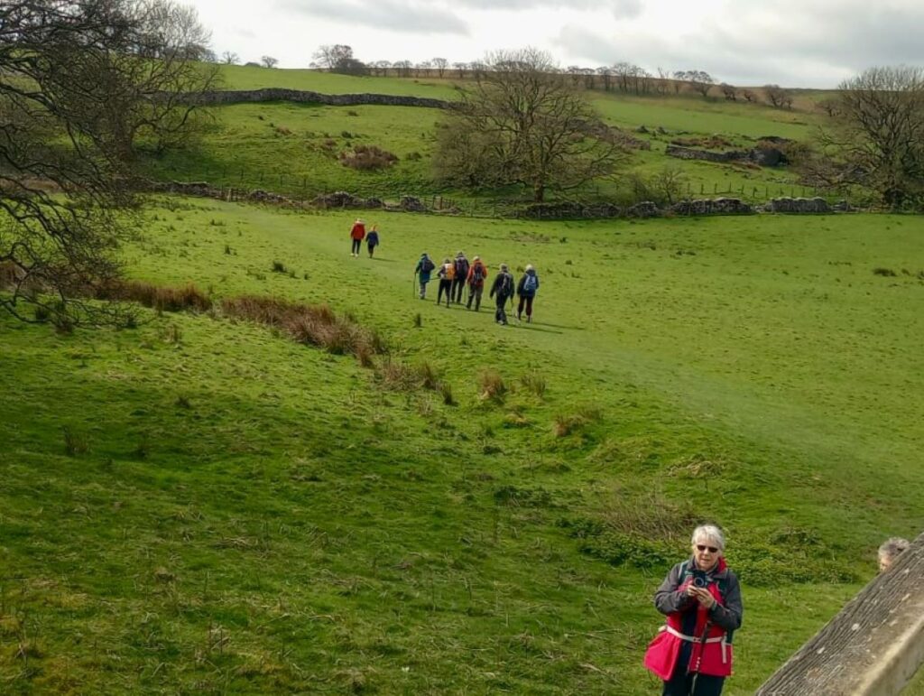
The path now continues North following the shore, keeping the woodland of Ten Acre Hill on our right. As we follow the shore around, we see elements of the route we walked earlier in the day on the far side of the water.
We soon approach a very high fence – this is a deer fence designed to stop deer accessing the recently planted woodland beyond and eating the tender shoots. We enter the woodland via the gate – please be careful to close it.
We continue through that woodland – the path remains clear, and soon arrive at the minor road which is an extension of the road we arrived on. We turn left here, but we don’t need to walk on the road for more than a few meters – there is again a path on the left of the road which safely separates us from the traffic.
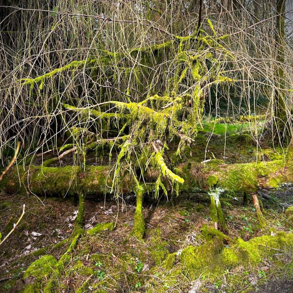
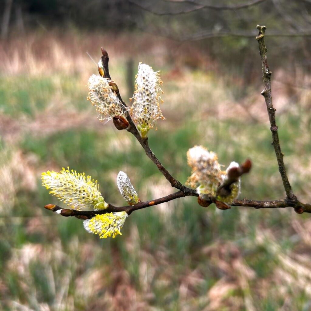
This path heads back to the carpark – via a wooded area that despite being just a few metres from the road feels ancient and isolated – almost “middle earth” in character. This is a great place to forage in the autumn.
We press on passing the causeway, and soon emerge from the woodland at the St James car park.
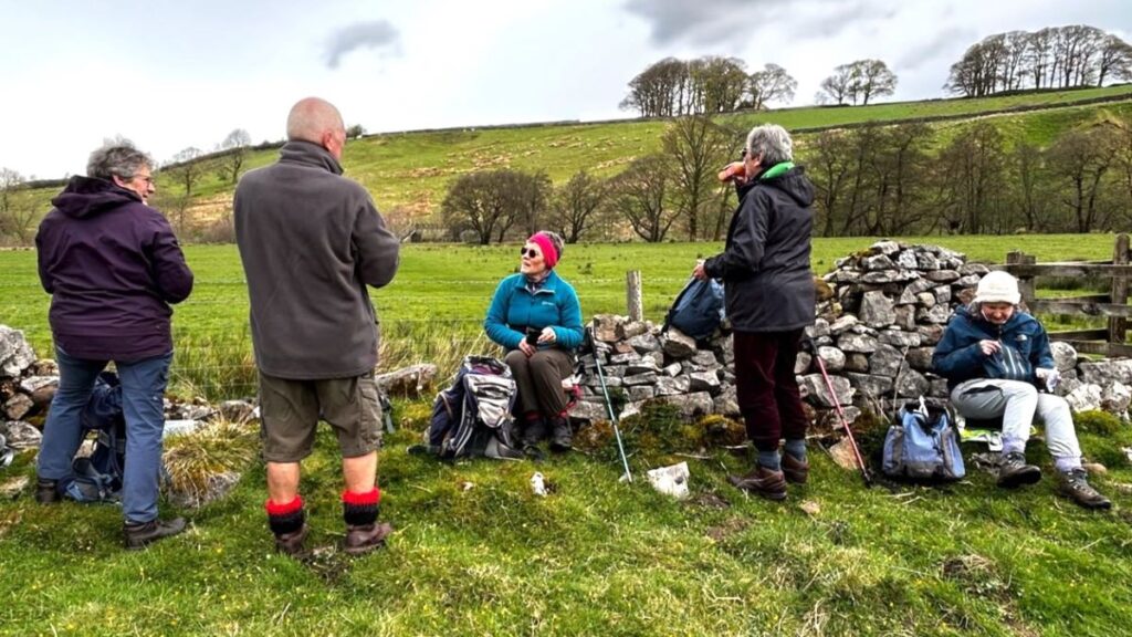
This walk is just over 12km so we define it as “moderate” but those who favour our easy walks should note that there are no steep sections, and under dry conditions the paths are generally easy going .
Click here to see a panorama shot of early in the walk – whilst the weather was better.