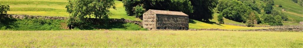
Keld to Muker meadows
6.9 miles | 11.2 km | 408 m Ascent | 9.0 Naismith miles | Sandra Craggs
Bentham Footpath Group has started walks from Keld before – it’s at the top end of Swaledale. On the last occasion – in November 2022 – we headed up to Whitsundale, seeing the rivers that merge to form the Swale in full flow.
This slightly gentler summer walk takes us downstream to Muker via the Pennine Way, where having explored the village a little we walk through the ever popular wildflower meadows before returning on the far side of the river via Swinner Gill then Crackpot Hall and finally East Stonesdale waterfalls. You will notice from the gallery that the Swale was barely a trickle after a prolonged dry spell – such a contrast to our last visit.
Keld to Muker meadows Read More »