Jump to . . .Step by Step | OS Map | Downloads | Gallery | Fly through
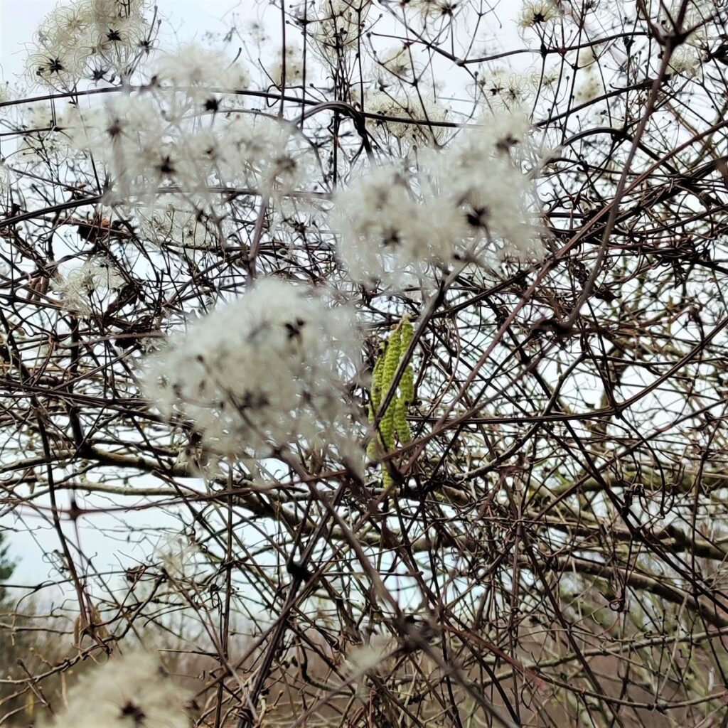
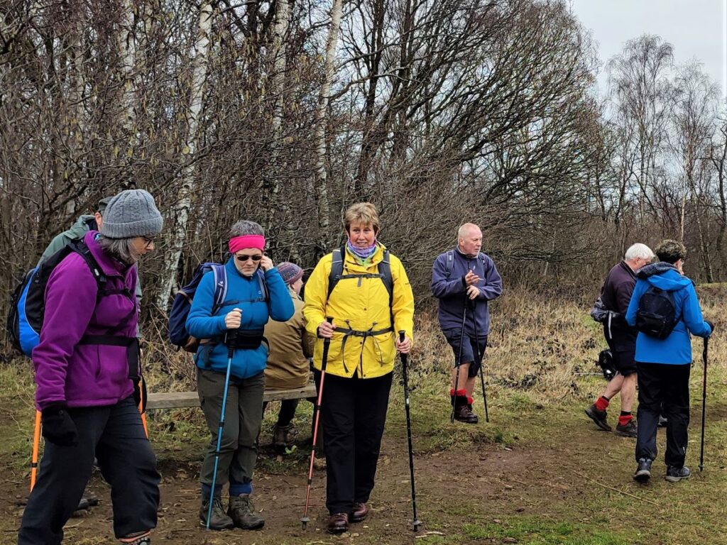
Arnside is a favourite with Bentham Footpath Group – this small and very accessible area provides a huge variety of interesting features such as The Knott, a tidal bore, estuary views, a Pele tower, a Marylin, a wonderful railway bridge, Victorian architecture, rare butterflies, atmospheric distorted trees, and a seaside promenade.
This walk forms a figure of eight shape, so there is a good opportunity to approach it as two smaller walks, or because there are so many paths in the area, there are many ways that it could be combined with other BFG walks in our library to make a more challenging route.
- Total distance 10.3 km (6.4 miles)
- Total ascent 236 m
- Easy walk
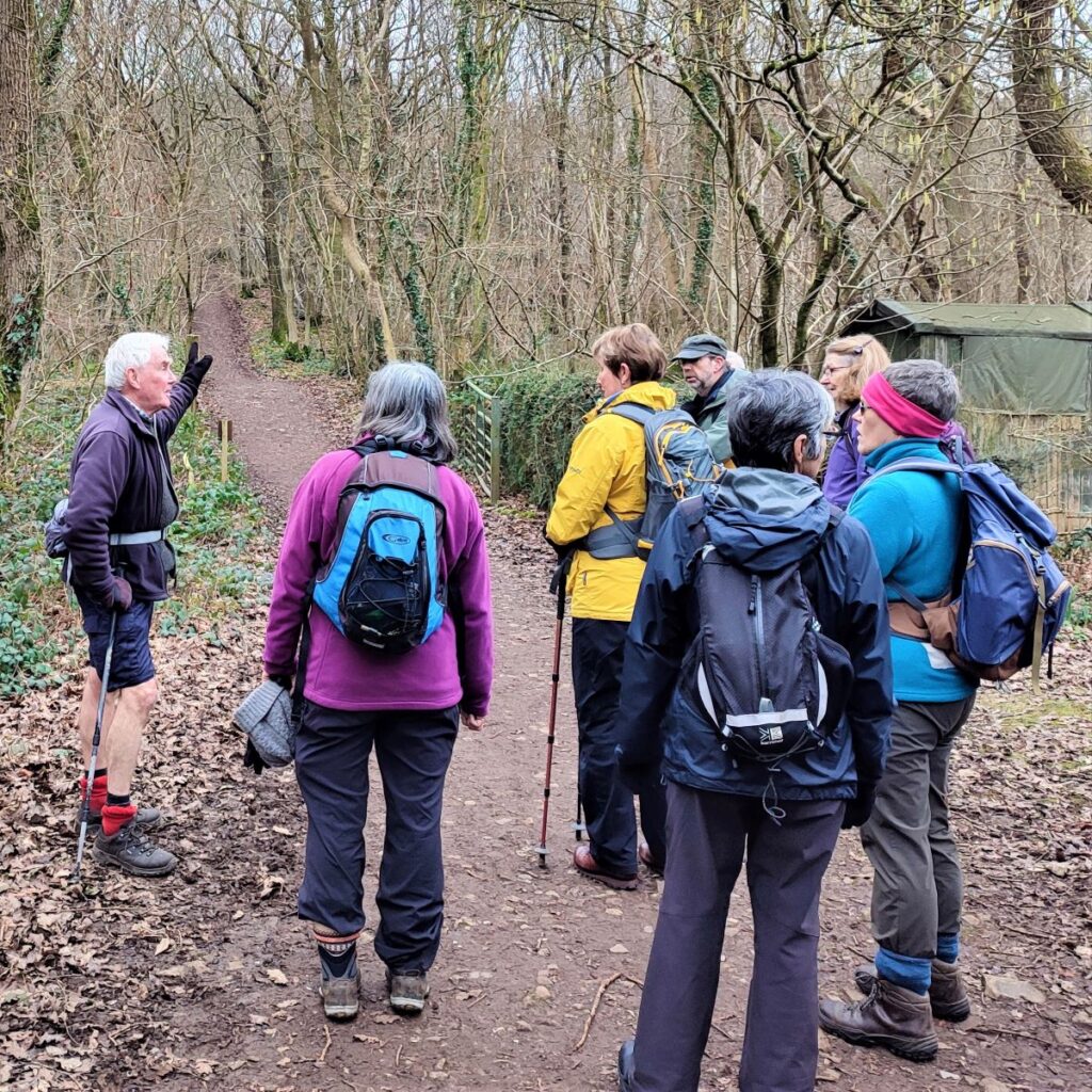
Step-by-Step
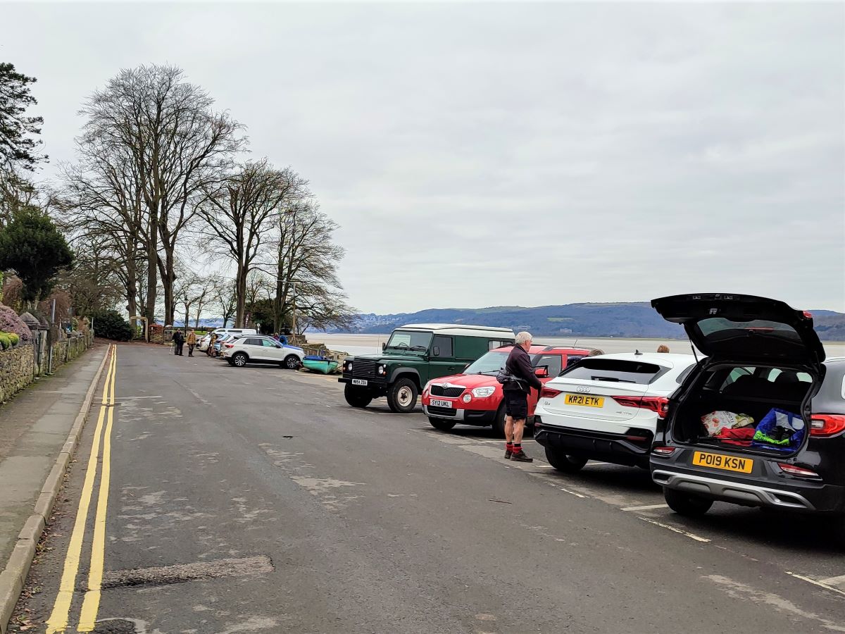
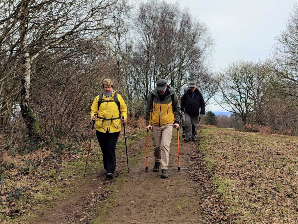
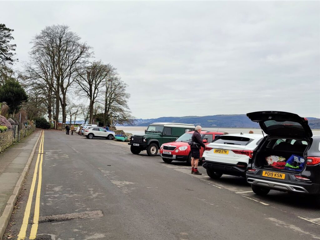
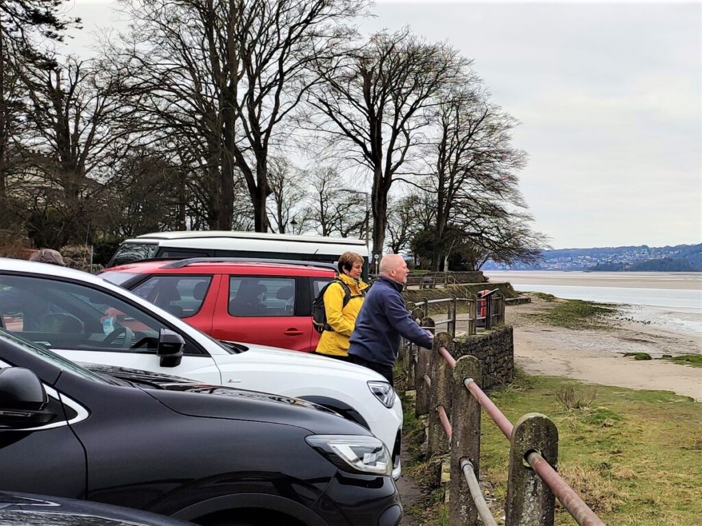
The walk starts in Arnside, using the free car parking on the promenade. If you are using Satnav to get to the start enter “The Promenade, Arnside” as an address, or if you prefer What-3-Words, then the tag is craftsmen.vine.airstrip which corresponds to OS grid reference SD 45467866.
Arnside is a popular place, so you will need to arrive early to secure a parking place during peak season.
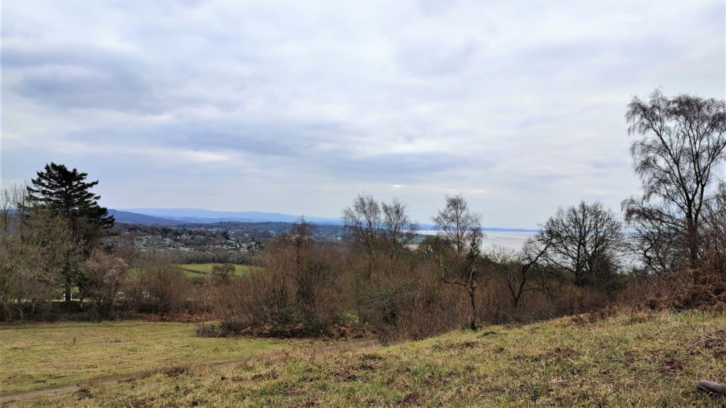
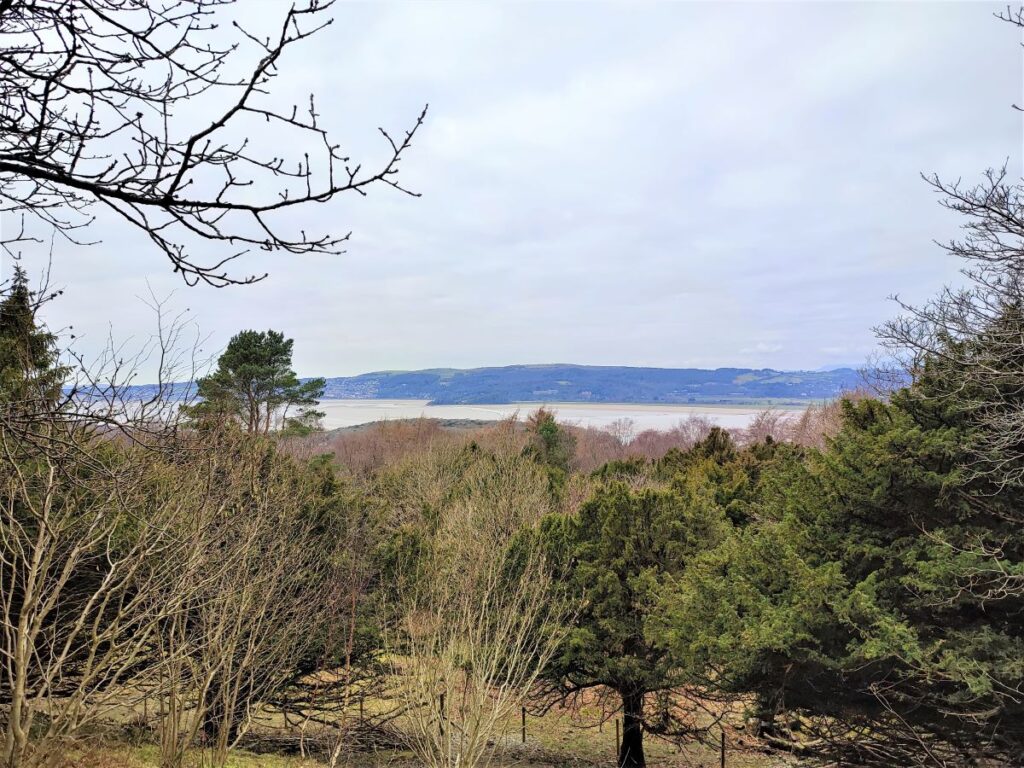
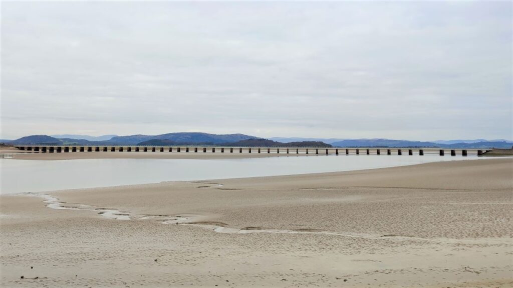
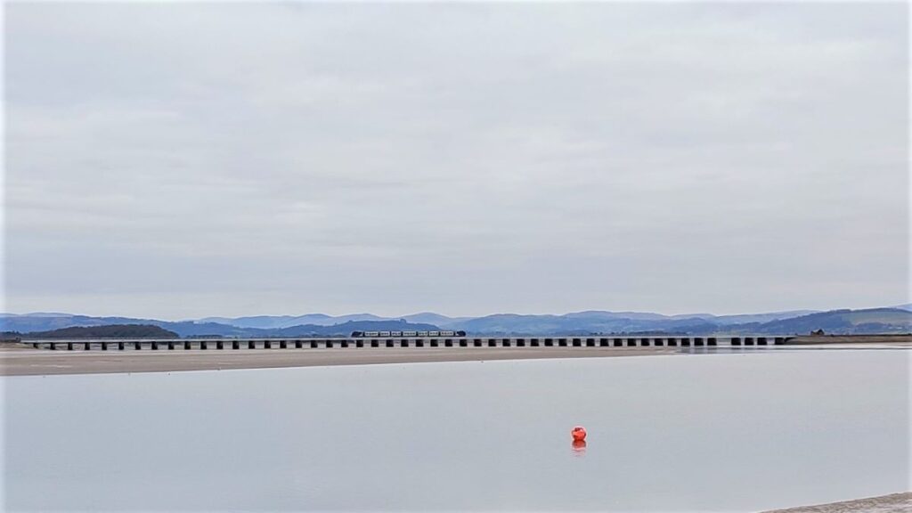
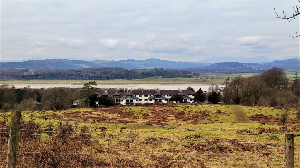
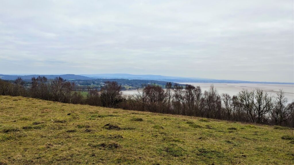
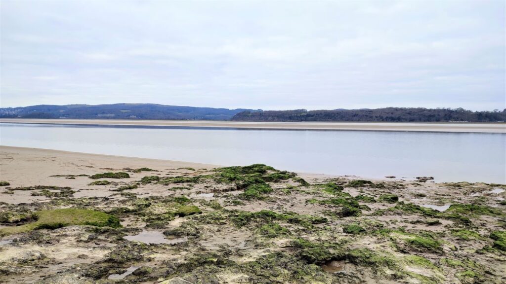
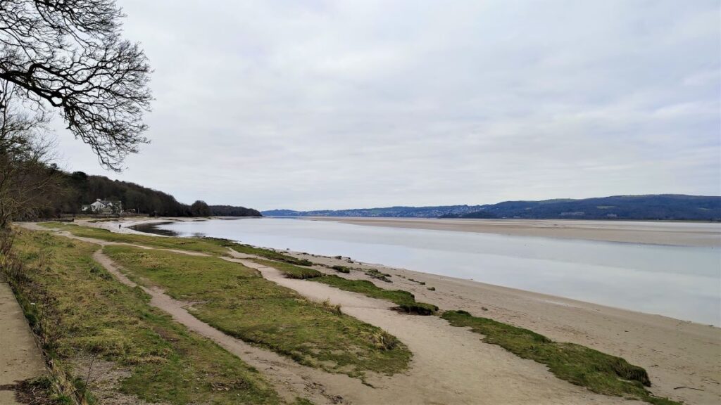
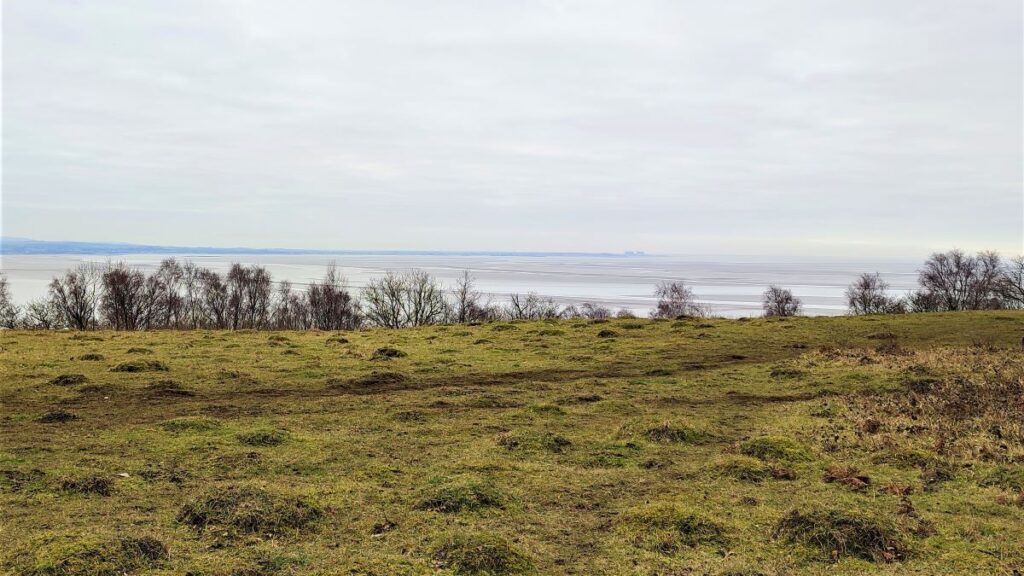
From the promenade we have great views across the Kent estuary with the railway bridge linking Arnside to Grange-over-Sands which is visible on the far side with the Lakeland fells as a spectacular backdrop.
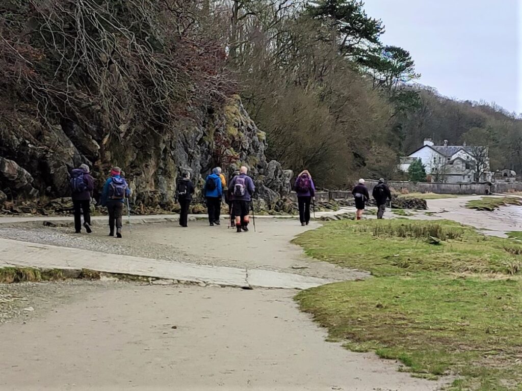
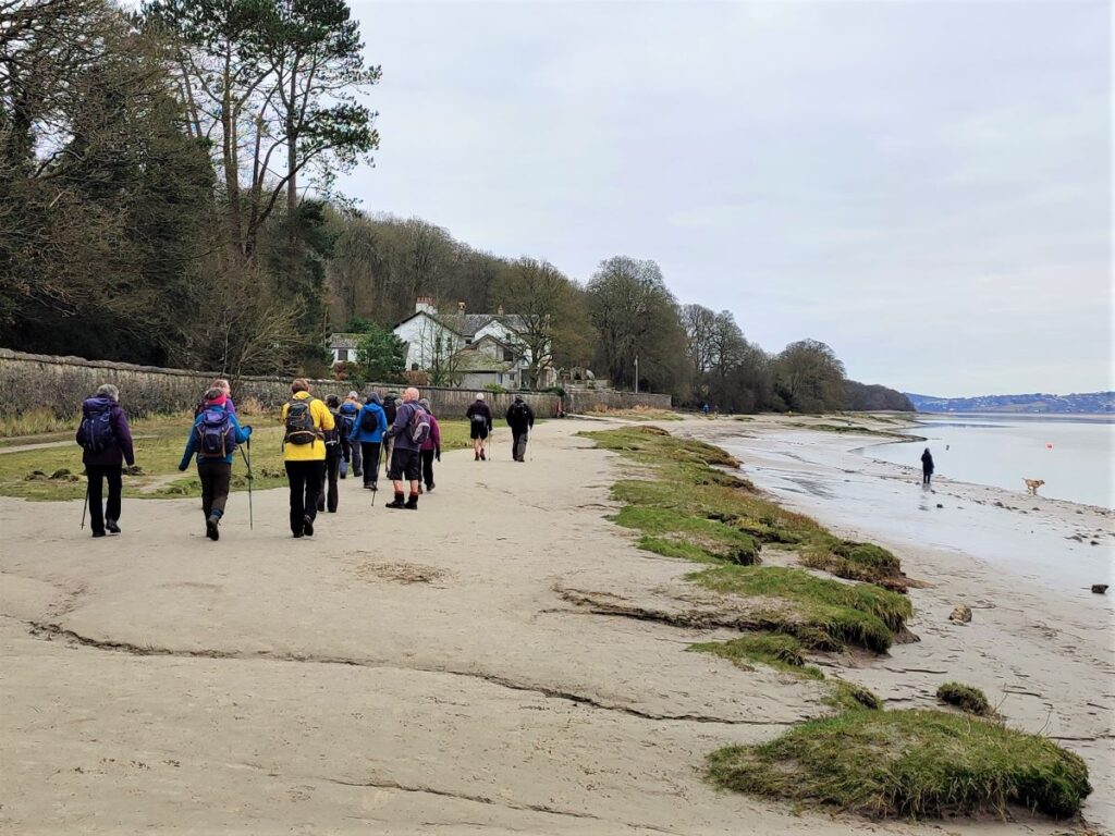
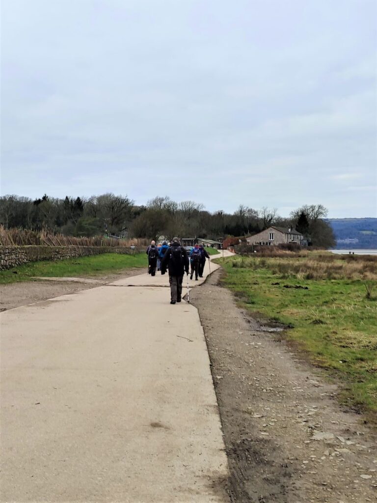
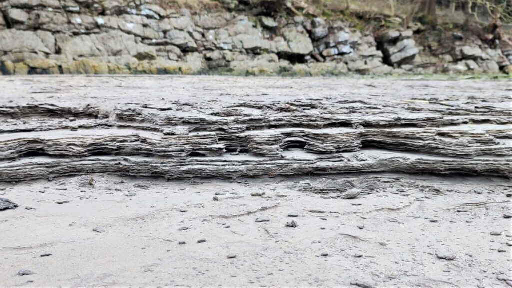
We set off down the promenade heading away from Arnside village, following the River Kent out toward Morecambe Bay heading Southwest. We initially walk on the pavement in front of the rather fine Victorian Seaside Villas, but before long we find ourselves on a well made path at the side of the estuary. At the far end of this is the Lifeboat station, and beyond this we walk on the seashore -tides permitting.
With each high tide, the coast at Arnside is subjected to rapidly changing water levels. This creates potential danger for the unwary, so warning notices are posted at the pier, and an audible warning is sounded before every daylight high tide. If you hear the warning siren, the meaning depends on the sequence of sounds: the one you need to pay particular attention to is 12 consecutive tones meaning the high tide is just 1 ¼ hours away.
The reason that the tides change so quickly here because the area of Morecambe Bay is large, in comparison with the modest area of the Kent estuary, meaning that a small tide entering the bay creates a large rise at Arnside. Add to this an unusually large tidal range for the whole bay area (at nearby Barrow-in-Furness it can be as high as 9.8 m) and we see why things can change so quickly.

Several times a year, the rate of change is such that a tidal bore develops – with canoeists and paddle borders surfing upstream on a modest wave. Video of this can be seen here, and if you want to view it yourself, then March through to September are considered the best months, with the bore passing about 2 hours before high tide – times for high tides can be found here.

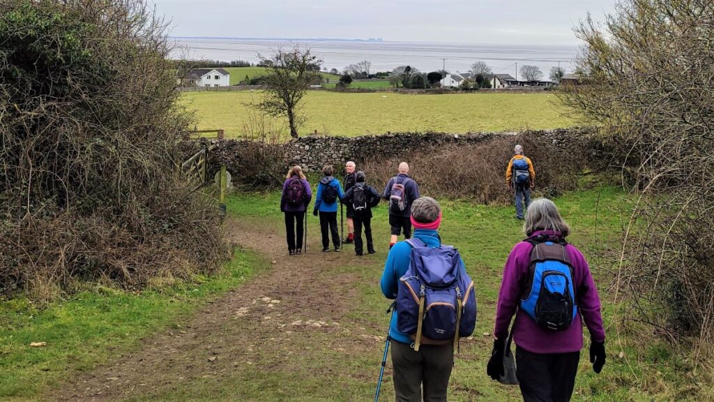
Our walk continues along the sand – if the tide mitigates against this take the lane adjacent to the lifeboat station and follow it round to the right round the back of Grubbins wood to re-join the route at New Barns, where a concrete road takes us safely above the tidal range toward the entrance to the caravan park.
At the entrance to the park, we note a fingerpost offering the route through the caravan park that we take, and an alternate round the seashore behind the trees at Frith Wood – this is worth considering as a small extension to the walk as the views across the estuary are particularly fine: Obviously all the points made about planning for the tide apply here too.
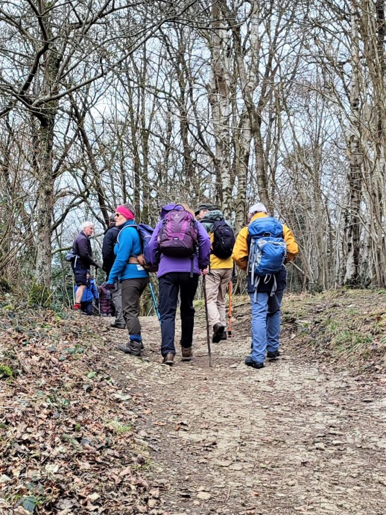
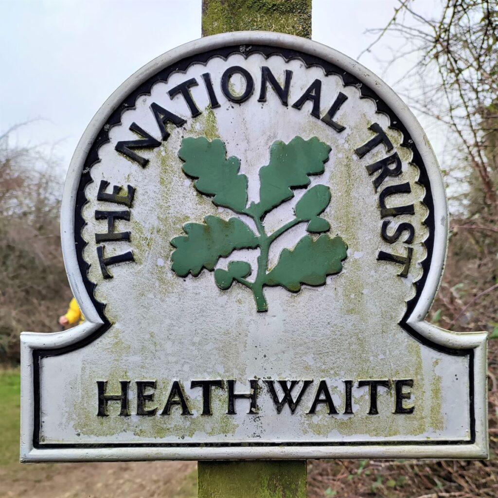
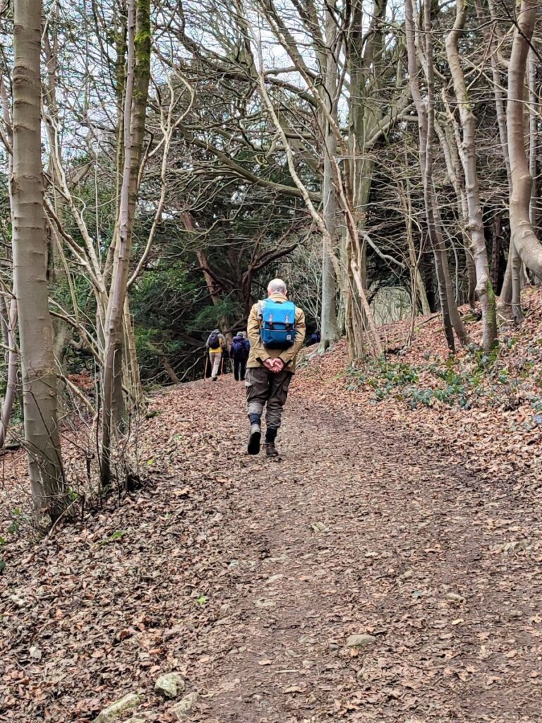
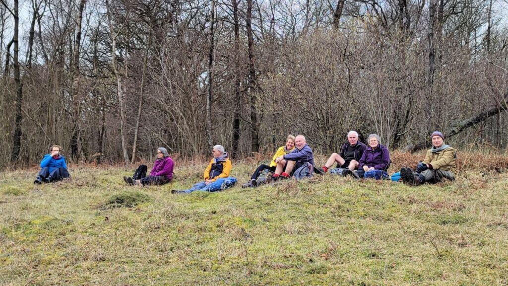
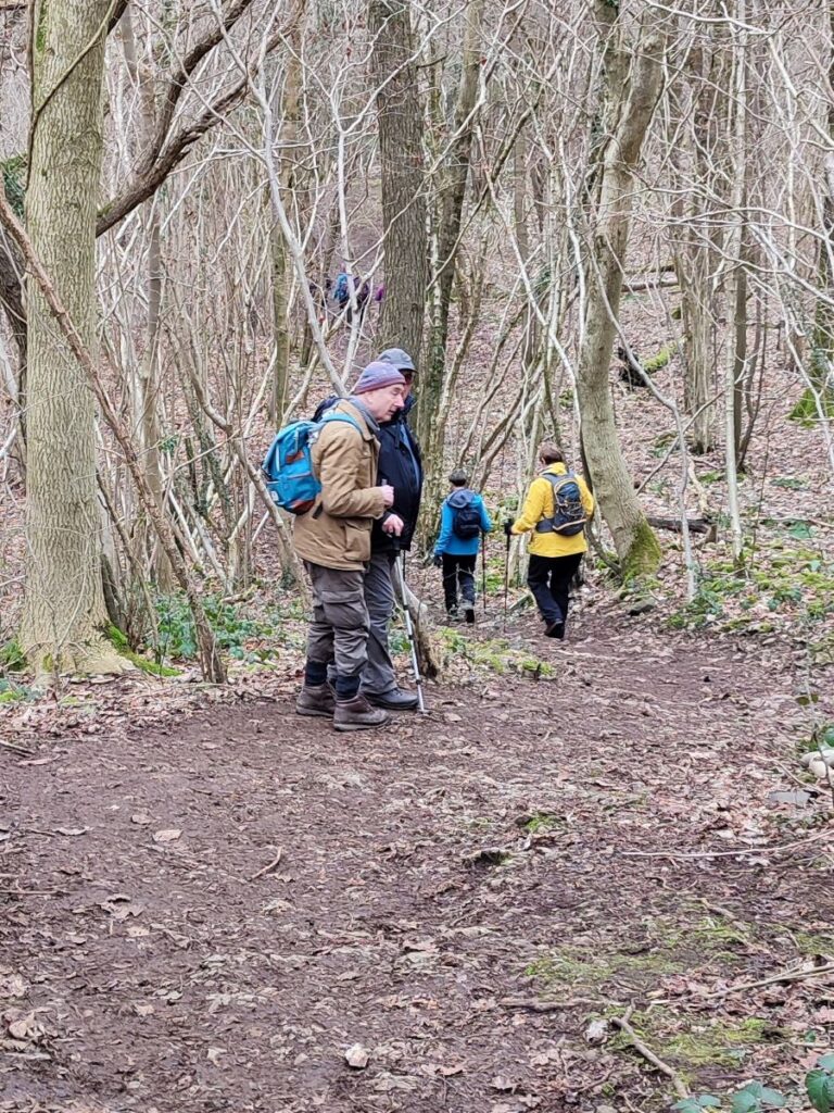
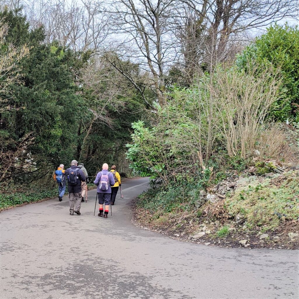
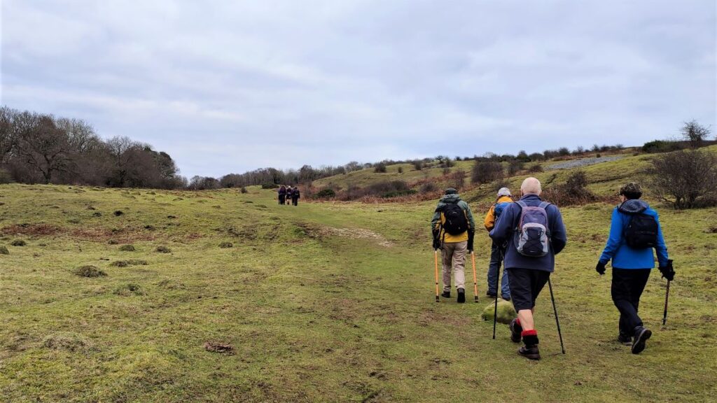
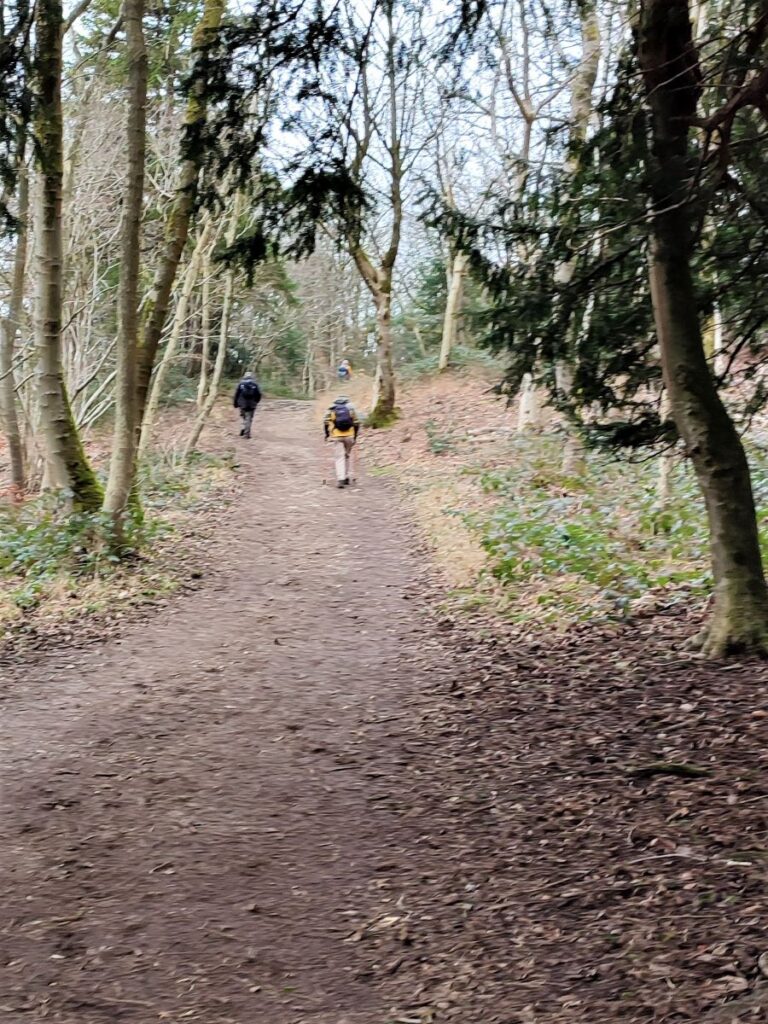
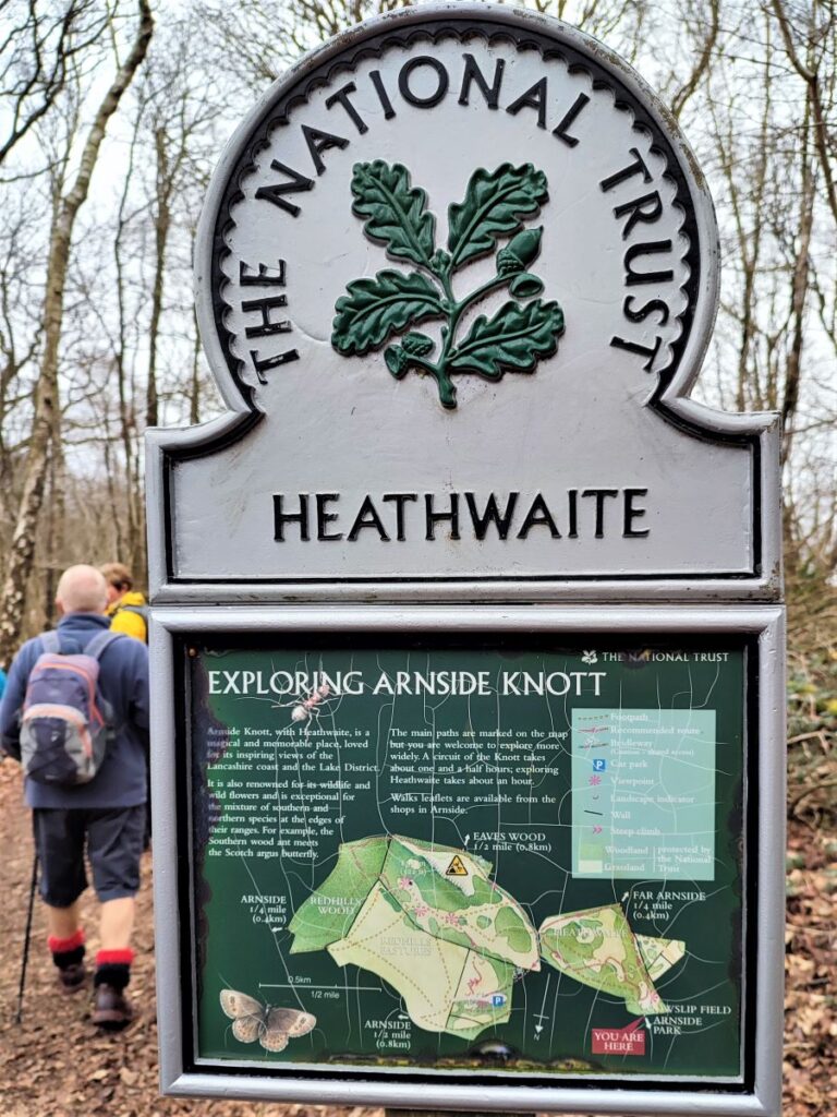
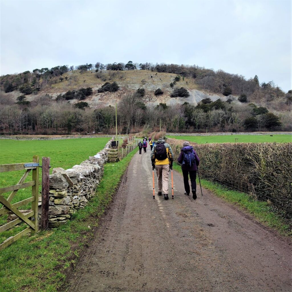
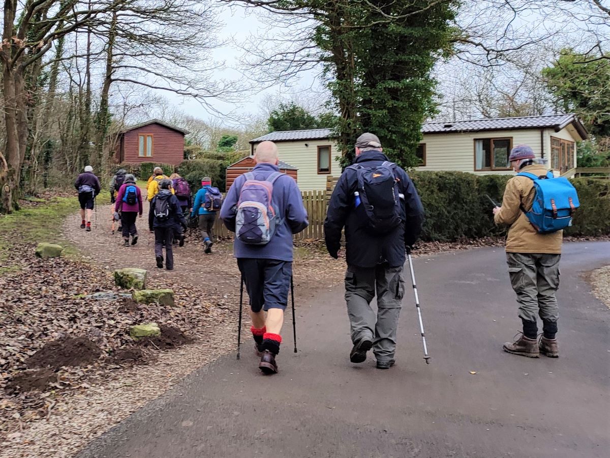
We take the route through the caravan park following a clear road for a while until we see a broad unsurfaced track leaving on the left. We take this and then after a short flat section, head steeply uphill through the woods of Arnside Park. We initially head Southeast, but as we rise, the path gradually swings round to the left until by the time we reach the peak and exit the woods at Heathwaite, we are heading East. The land here is owned and managed by The National Trust, as is much of the area around Arnside and Silverdale, and from the peak at Heathwaite the trees are less dense allowing good views over the Bay toward Morecambe, Heysham, and for the eagle eyed, Blackpool. Given that the views are so good from here, and we have just finished quite a steep climb, a sit down and cuppa are warranted.

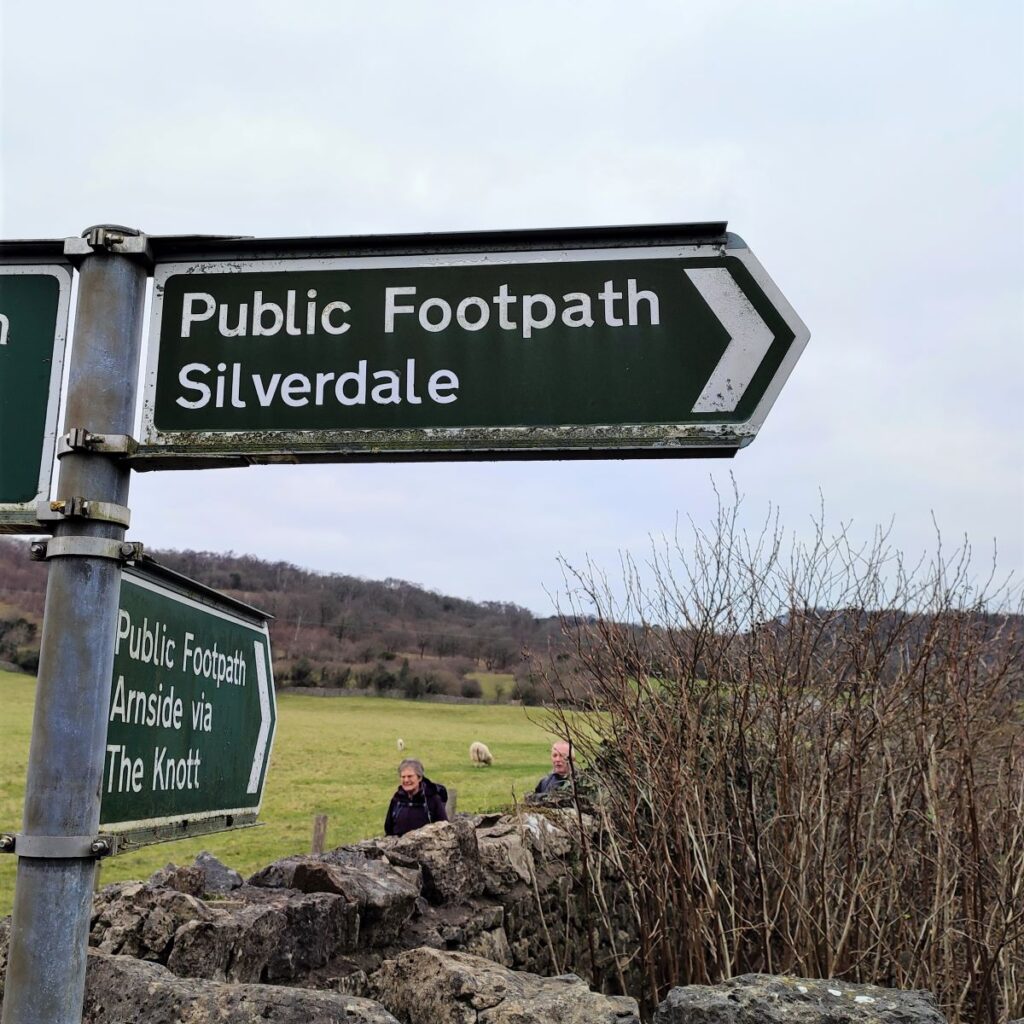
We now carry on along a gentle woodland track heading downhill and Northeast toward Arnside Knott. Before we get that far though we come to a point where a number of paths intersect – this is the pinch point of the two loops of the figure of eight, so if a shortcut is required, go left toward Arnside (the blue way marker). For those wanting the full walk – and you should, there’s still lots to see – we almost reverse our direction walking downhill toward a field corner with the bay visible in the background.
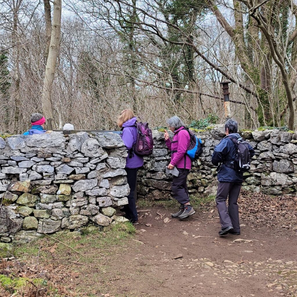
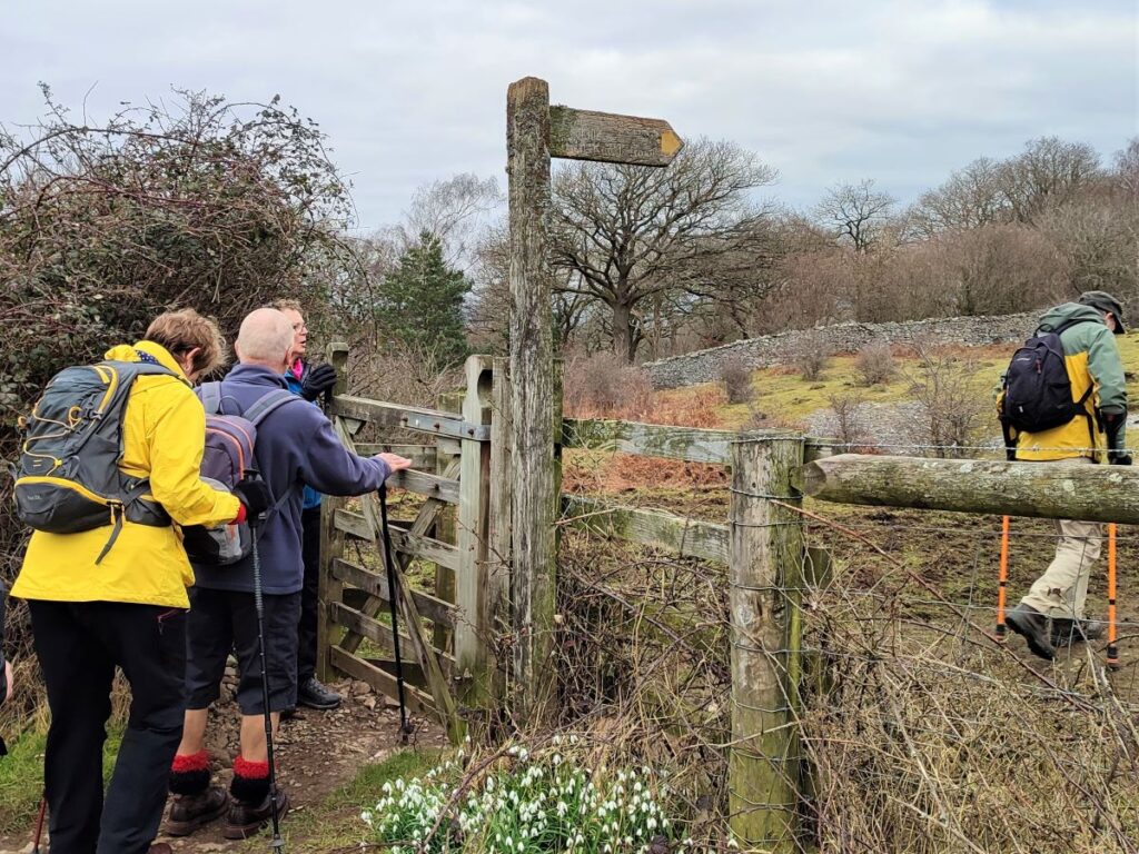
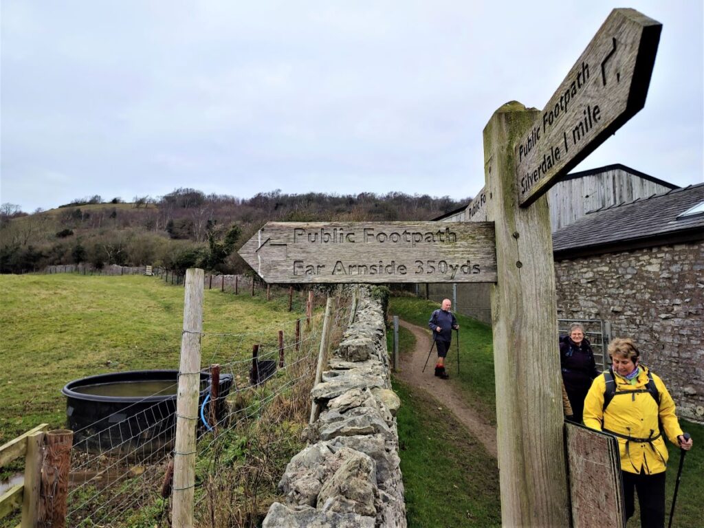
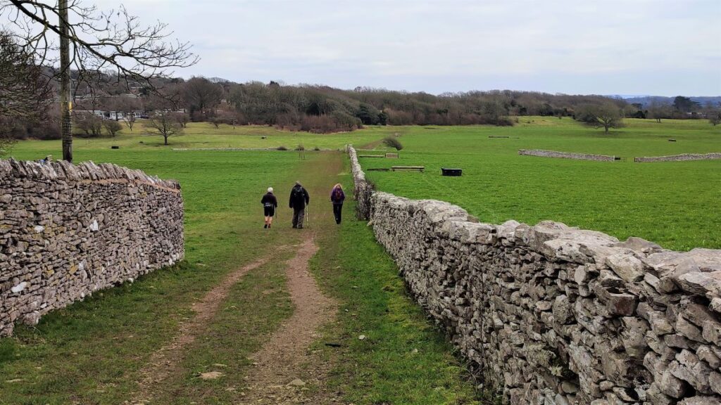
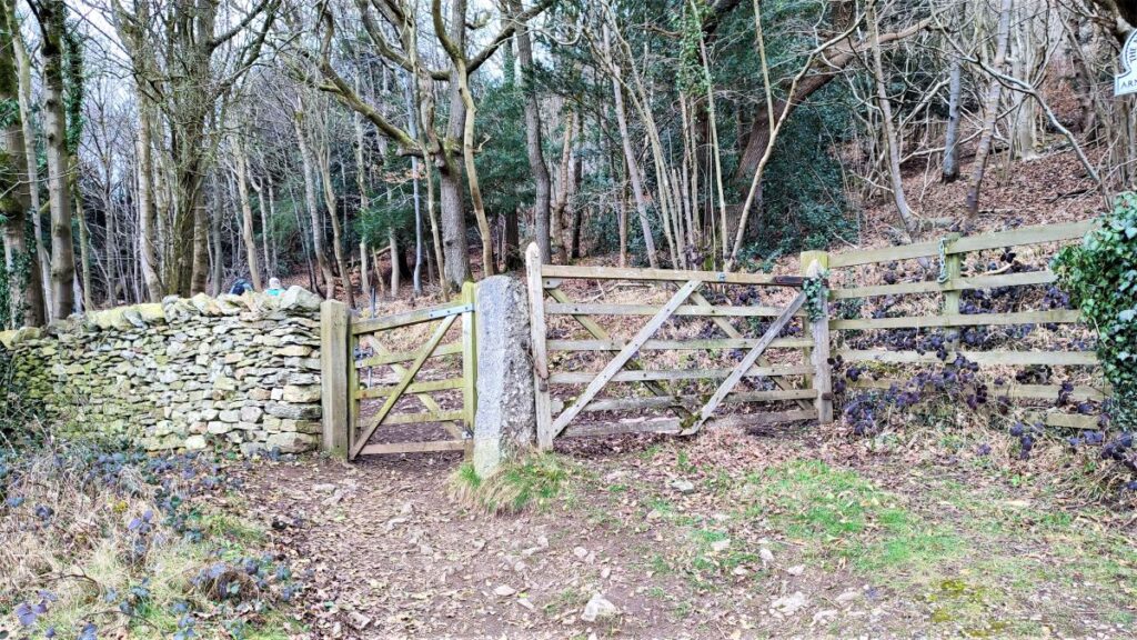
Here we find a gate which leads us onto a path along the side of Hollins Farm. After a short distance we find a stile in the drystone wall on our right and we cross this to take a clear path down to the minor road at far Arnside.
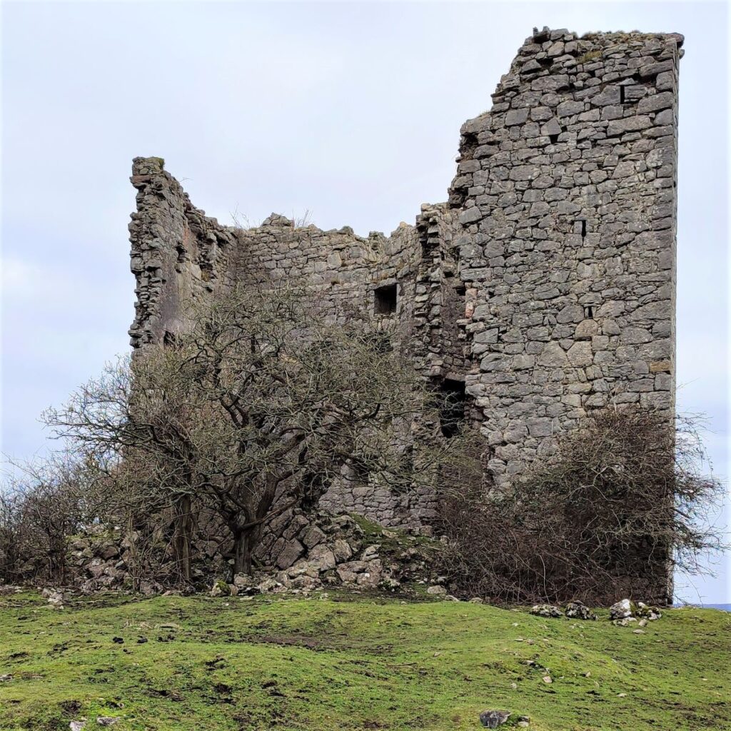
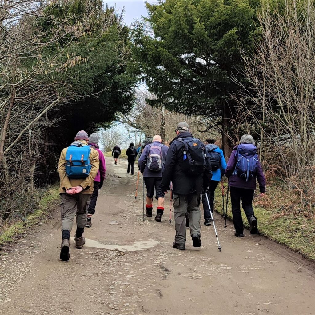
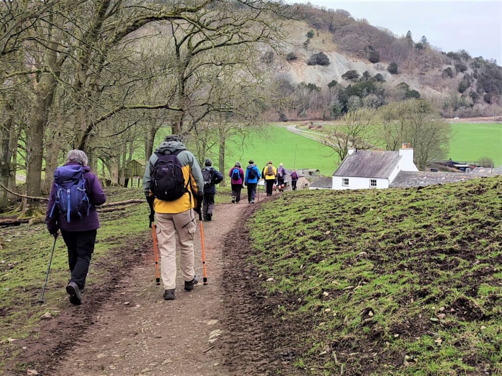
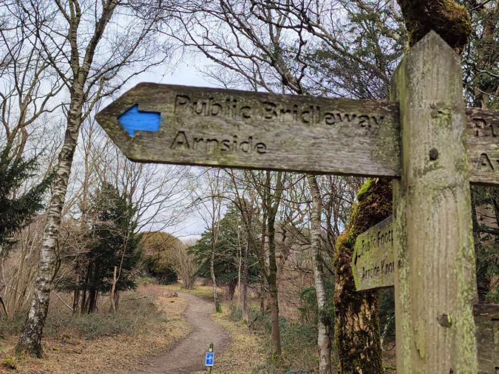
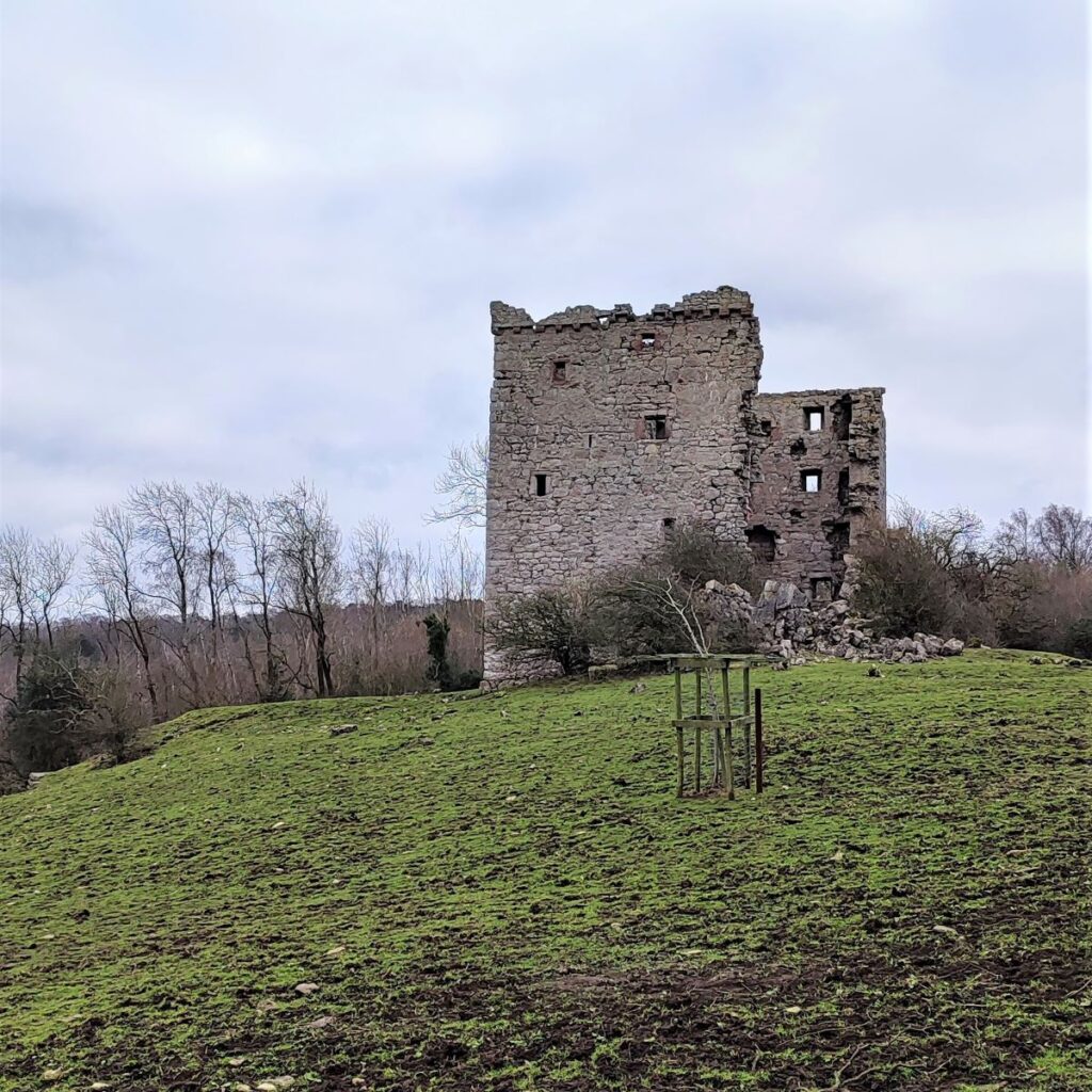
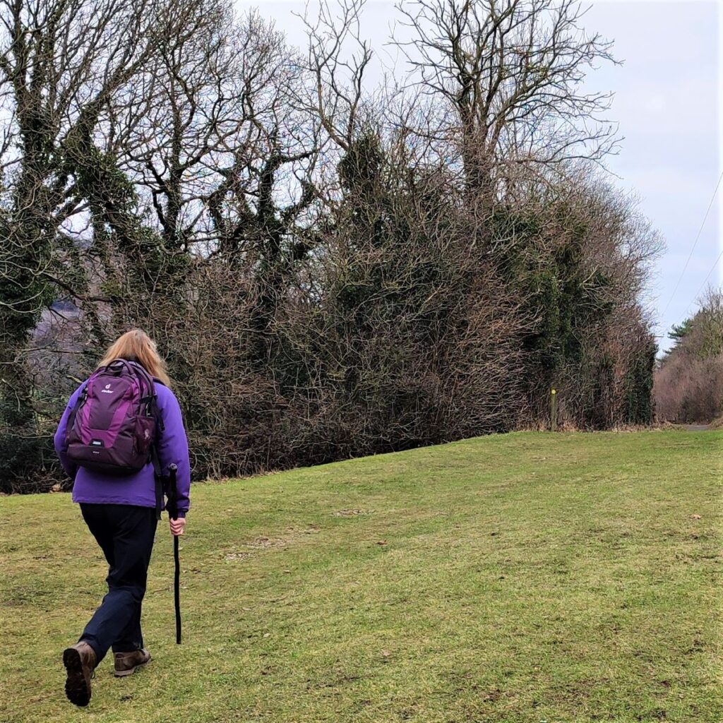
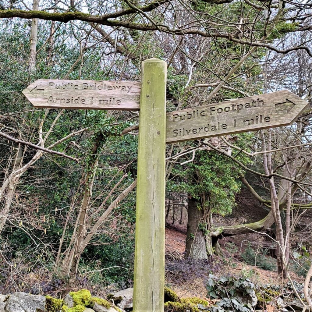
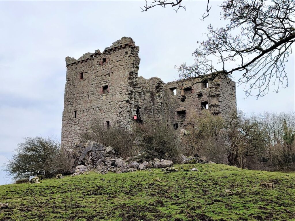
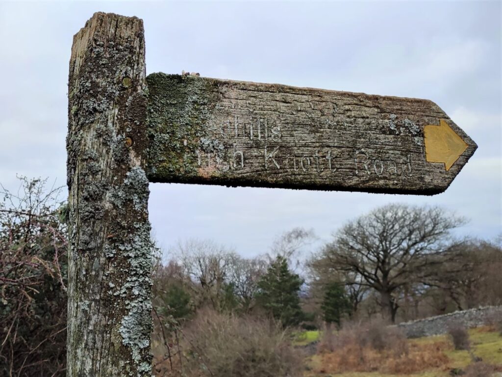
We turn left at the road and walk gently uphill until meet a slightly larger road, where on the opposite side we see a fingerpost indicating a path through open fields toward Silverdale with a caravan park in the distance. We follow the clear path through a couple of fields and head toward a building which is a reception for the caravan park, and as we approach this, we come across the metalled road that runs round the park. We turn left and follow this for a while, now heading North. After a short while we spot a yellow way marker over to the left and see a grassed path leaving the road and entering the trees – this is our route over to the Arnside Tower, a Scheduled Monument and Grade II* listed building.
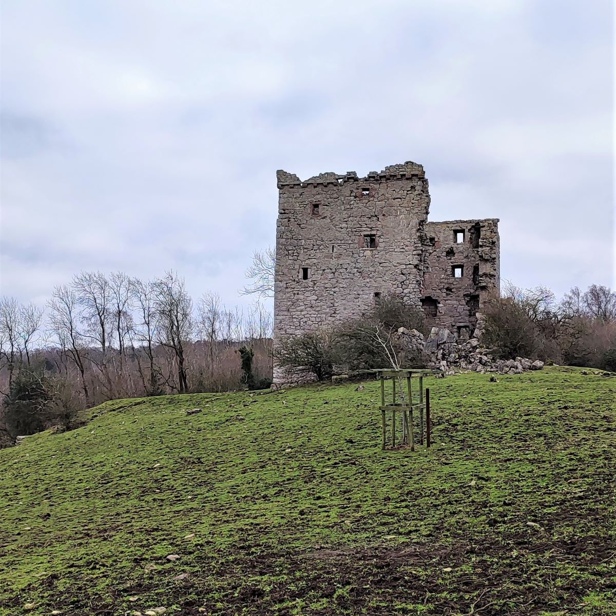
At this point we have woodland on our right – Middlebarrow Wood and views over to Arnside Knott on our left. We soon approach a gate and as we pass through, the tower comes into view. The tower is not considered structurally safe so don’t enter.
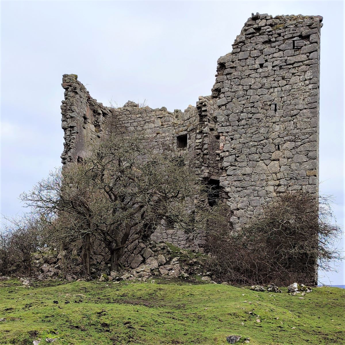
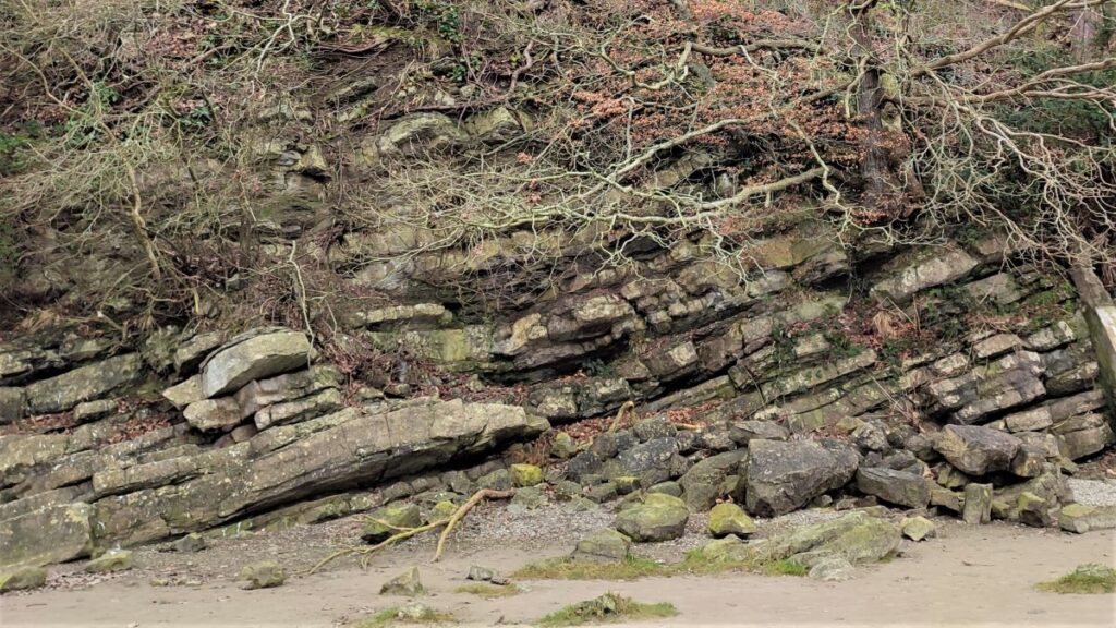
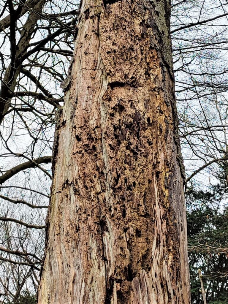
Arnside Tower was built in the second half of the 15th century: Tower or “pele” houses were built throughout the border regions of northern England and southern Scotland to guard against the threat of lawless Border Reivers. The tower is constructed of limestone rubble, and was originally five storeys high, on a footprint measuring 50 feet by 34 feet. It was almost certainly built with an adjacent dwelling wing of equal height built onto the side of the tower. This is a style that is common in Scotland, but rare in English pele towers. Arnside Tower suffered a serious fire in 1602 but after repairs remained in use until the end of the 17th century. One of the walls of the tower collapsed around 1900, and the site remains as an atmospheric but unstable ruin.
Entering the ruin is not possible, so visualising the internal structures and how the building was used is quite difficult – however, videos recorded using drones show lots of internal detail that makes the building come back to life. One good example can be found here.
From the tower, we head down toward the white washed farm building and take the path opposite around the farm yard and then up the farm access road. We now have Arnside Knott ahead of us. We walk up to the main road, and turn left, to find the access gate for the Knott almost opposite on the right.
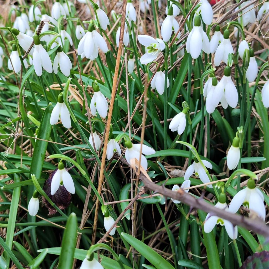
Arnside Knott is owned and managed by the National Trust and is one of the best sites in Britain to see butterflies, especially in June and July: Rare species such as the High Brown Fritillary and Scotch Argus can be found here.
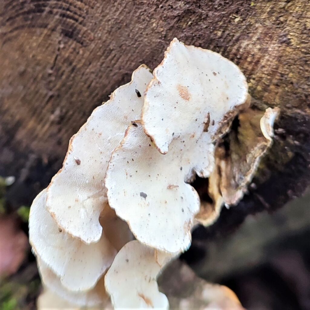
The Knott, an old English word for a protuberance or small hill, is covered with limestone grassland and mixed woodland, which attracts a variety of flora and fauna. Active coppicing helps maintain the diversity of wildflowers and associated butterflies.
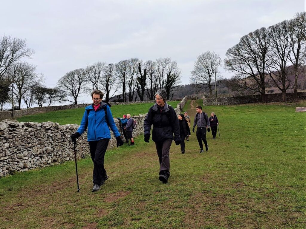
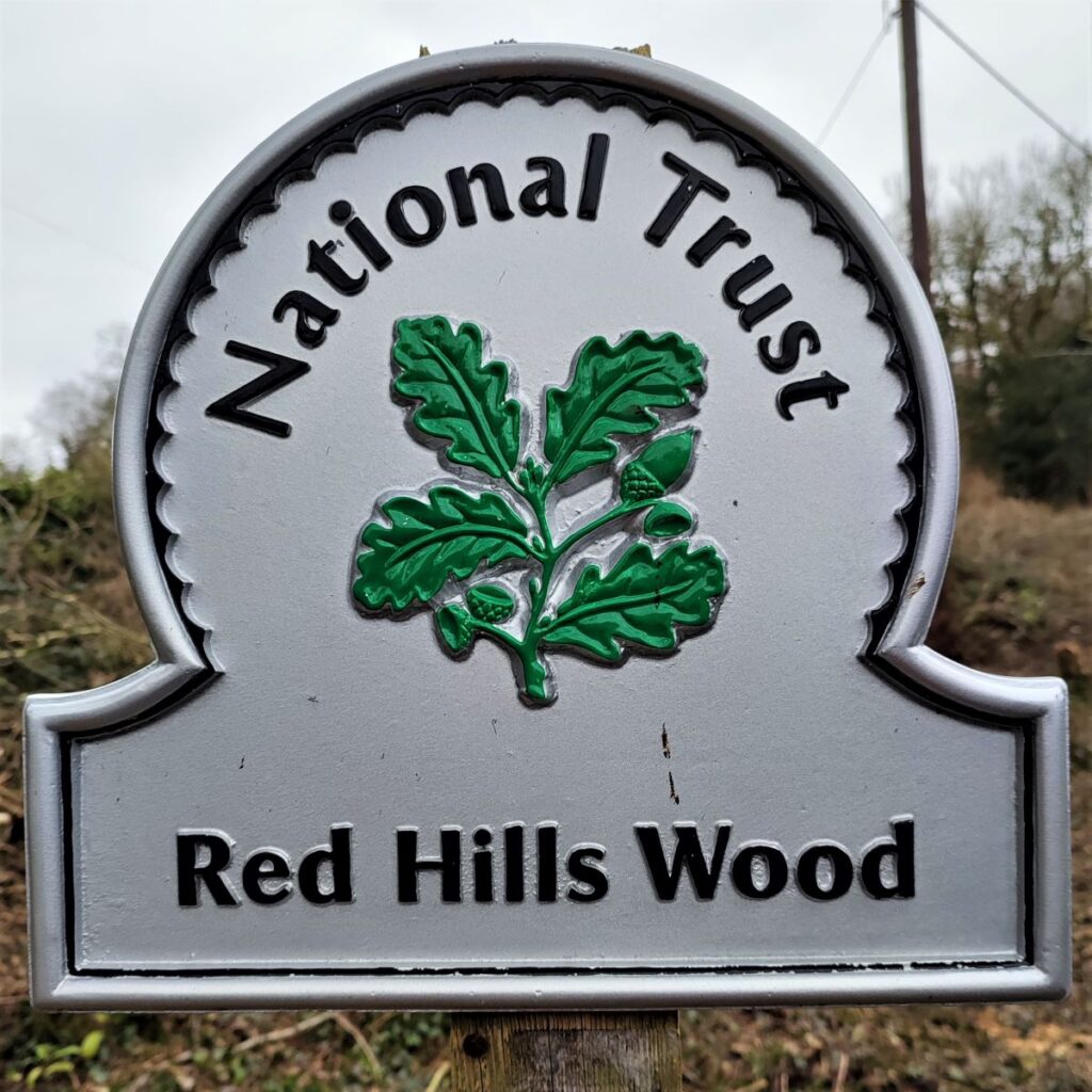
The site covers 260 acres and is adjacent to Heathwaite, which we walked through earlier, and Redhills Wood which we will soon see. There are a great many footpaths in the wooded parts of the hill and across the pasture at the hill’s foot. This is good news in the sense that the variety of walks available is large, but problematic in the sense that directing users along a specific route can be tricky – our recommendation therefore is to follow the well signed route and to download our GPX before you set off.
Note that this walk does not go to the top of the Knott – although other walks in the Bentham footpath Group library do. At 522 feet (159 metres) Arnside Knott became a “Marilyn” in 2005 and remains the smallest Marilyn in England. The Marilyn classification was created by Alan Dawson in his 1992 book The Relative Hills of Britain., and the name is a punning contrast to the Munro classification of Scottish mountains above 3,000 ft (914.4 m). Marylins are defined by their prominence – i.e. how far they rise from their base – rather than the point height definition used for the Munros. There are 2011 Marylins in the UK and Ireland.
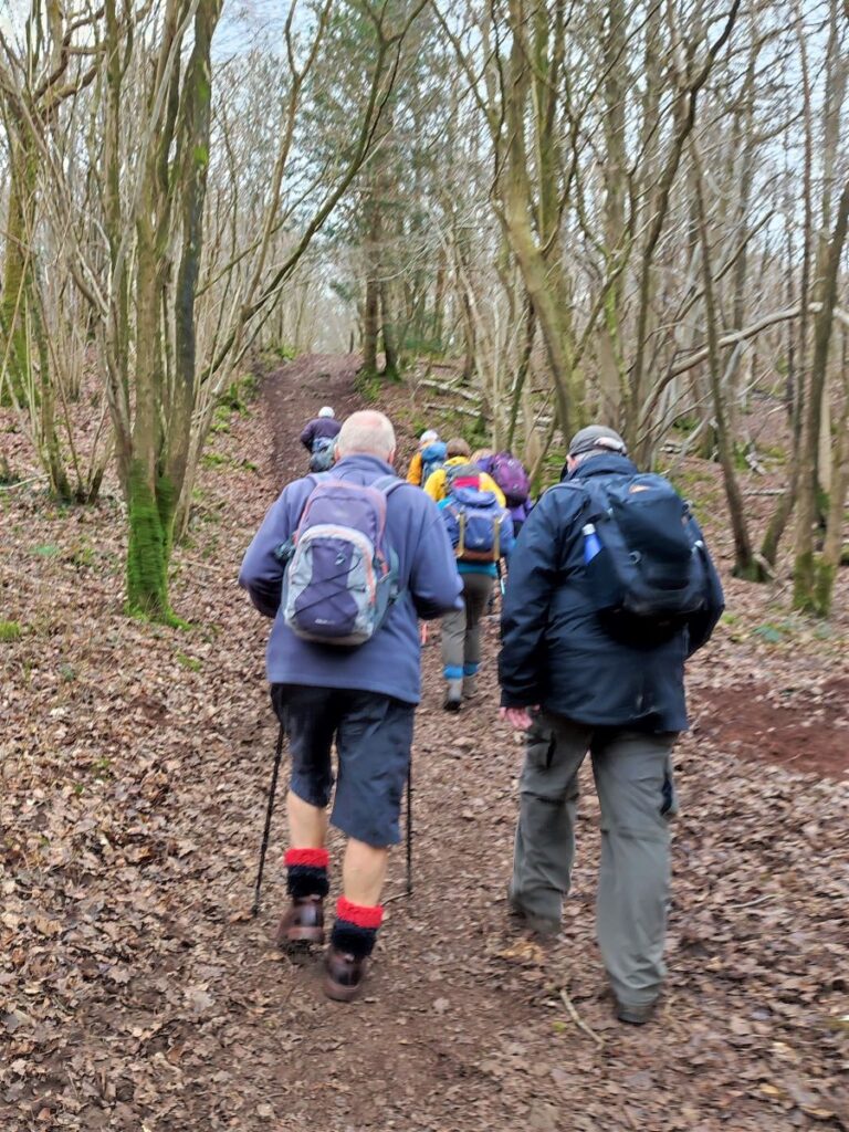
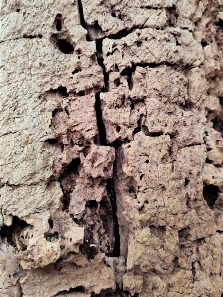
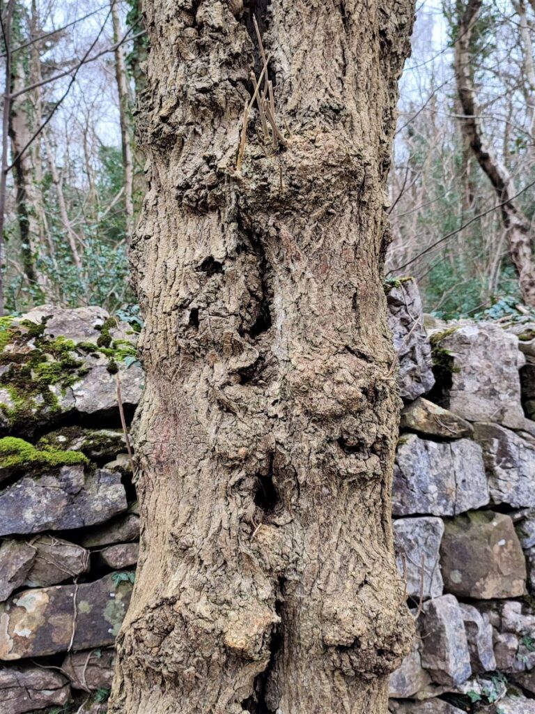
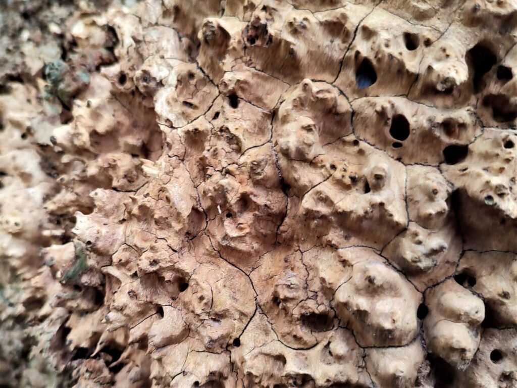
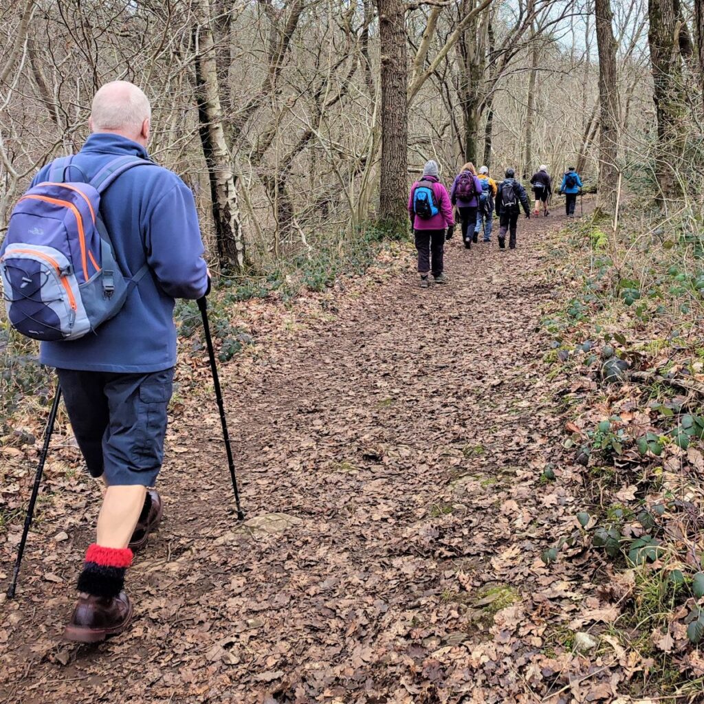
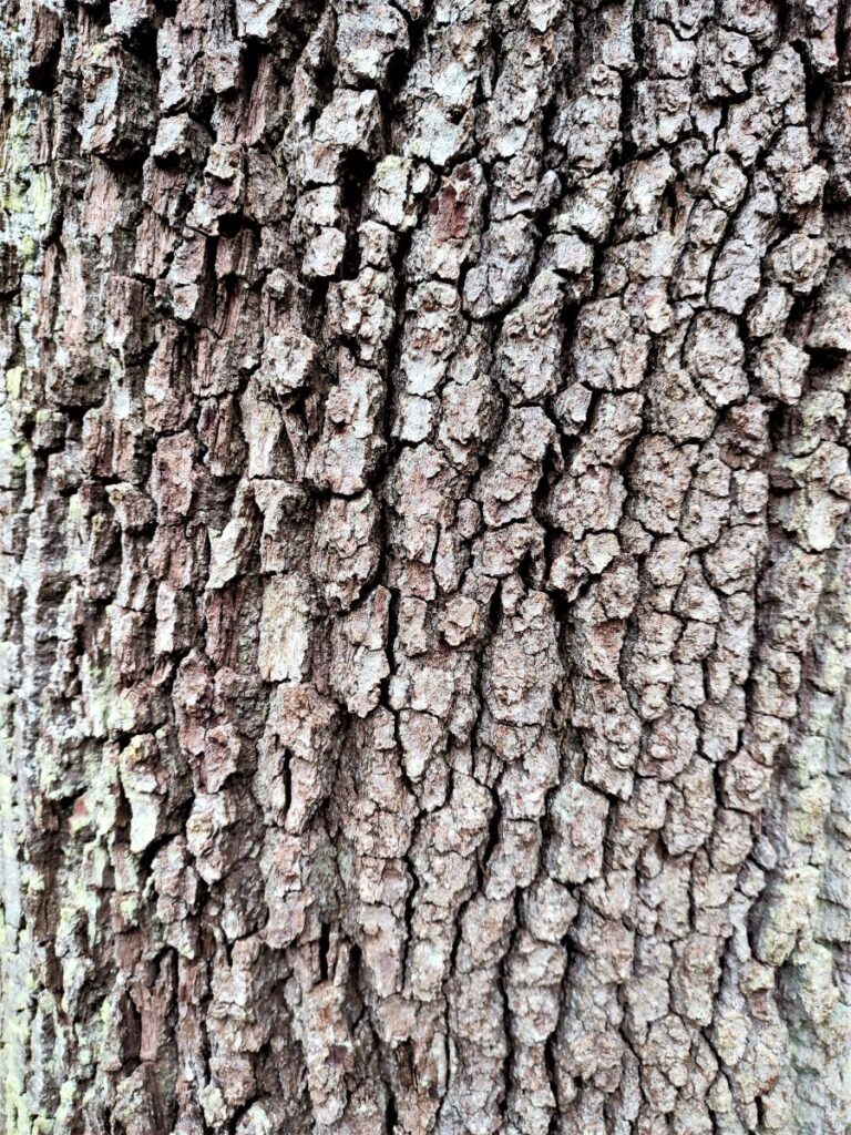
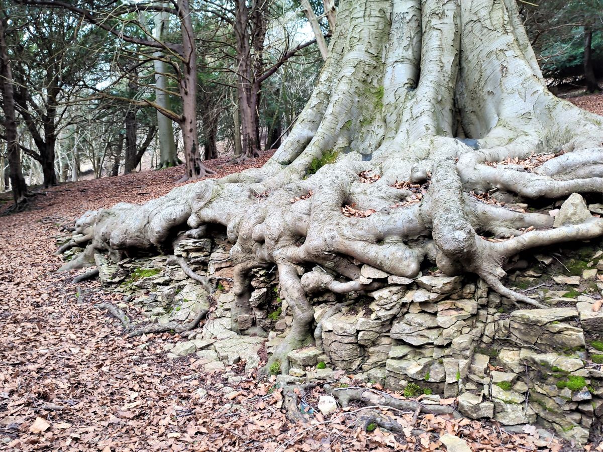
Having entered the National Trust land we follow a clear path uphill through pleasant woodland passing ancient trees with spectacularly tangled roots, until we arrive at a junction where four or five paths meet. We are again at the pinch pint of our figure of Eight, and as the field to our left is relatively flat and has good views, we may well choose to take a break here.
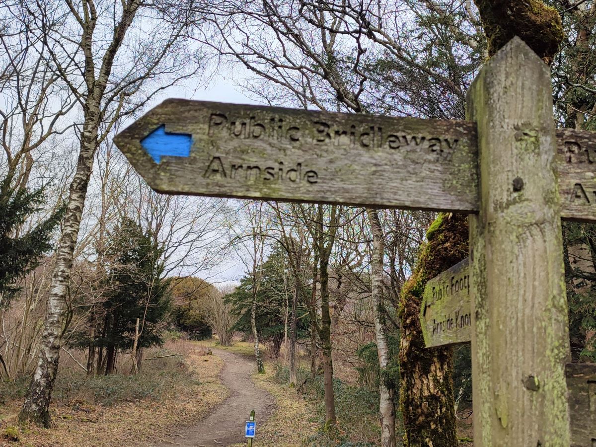
Carrying on, we return back to the point where all the paths cross and find the way marker indication for Arnside via a public bridleway – look for the blue arrow.
We follow the bridleway round the back of the Knott – you will see several paths leaving on the right to climb the Knott. Feel free to follow these to sample the excellent view from the top before returning to this lower level path., which follows the contours round the back of the Knott, past a car park, and then onto a metalled lane which we follow for a little while. Look out for a gate accessing the field on the left – note this but do not take the path – it looks a like a good way to stay off the road, but our path leaves the road on the right soon, and you will be trapped in the field on the wrong side of the road.
When our path comes into view on the right, we access it via a gate and take a clear grassy path along the contour lines of Red Hills until we arrive at a gate in the far corner of the field.
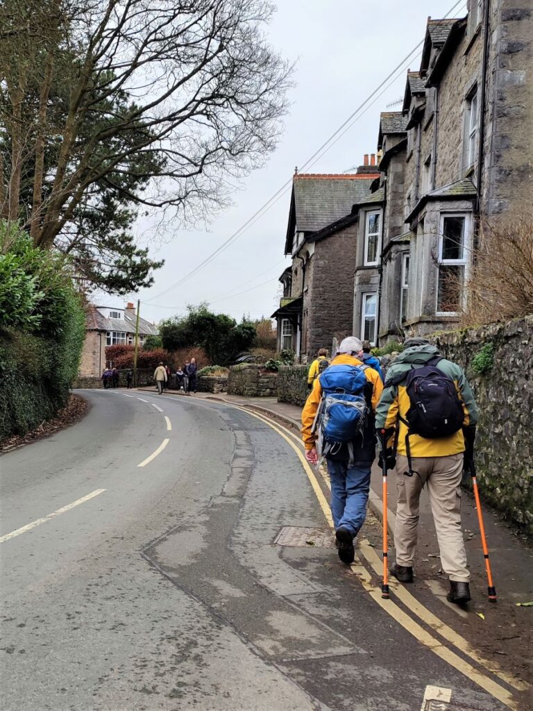
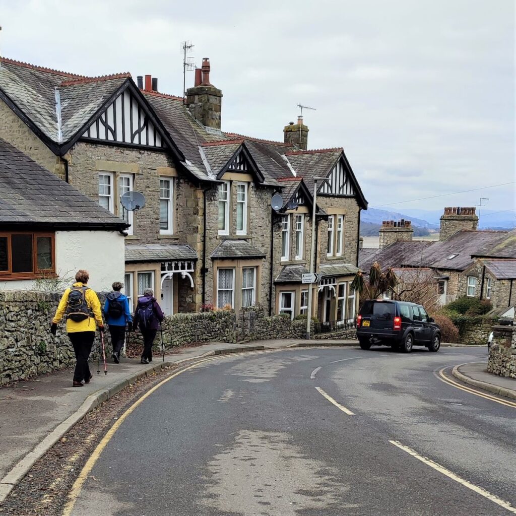
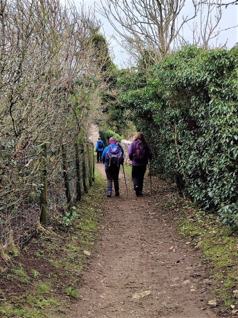
We follow the path down through Red Hills Woods until we arrive at a gap between buildings where we find a minor road. We turn left and follow the road past a number of large Victorian houses on our left. The road bends back on itself, and we follow it down to the main road in the village, where we turn right, now walking on the pavement. We come to a junction and take left to walk downhill back to the promenade where the walk ends.

- Total distance 10.3 km (6.4 miles)
- Total ascent 236 m
- Easy walk