Jump to . . .Step by Step | OS Map | Downloads | Gallery | Fly through
What are the ingredients for a perfect walk? For some it’s something easily accessible with good parking and not too far from home, perhaps with riverside walks, and a waterfall or two. Or you may prefer ancient packhorse bridges, and traditional village greens, and perhaps a war memorial and village church. Or perhaps water mills and abandoned industrial remains excite you.
This walk has all of these and is so densely packed with interest that all this is delivered within our 12 km limit for an easy walk.
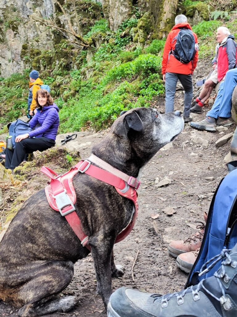
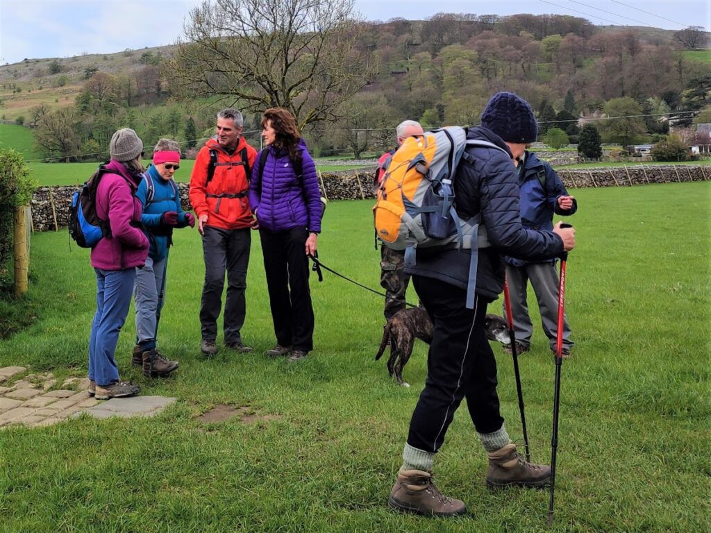
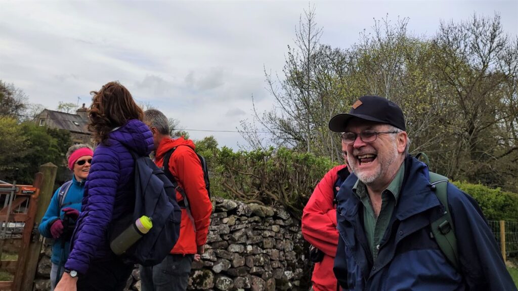
What more could you want? No wonder we had such a good turn out for this walk.
- Total distance 11.1 km (6.9 miles)
- Total ascent 329 m
- Easy walk
Step-by-Step

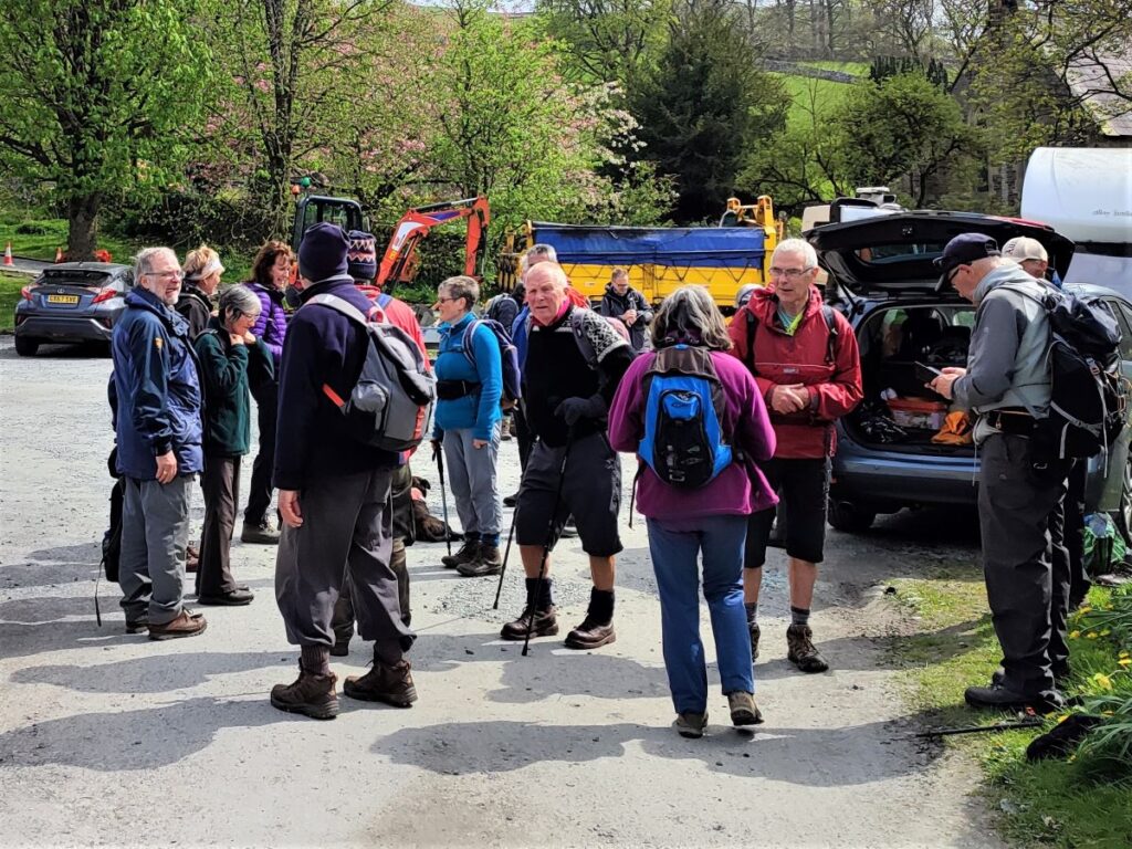
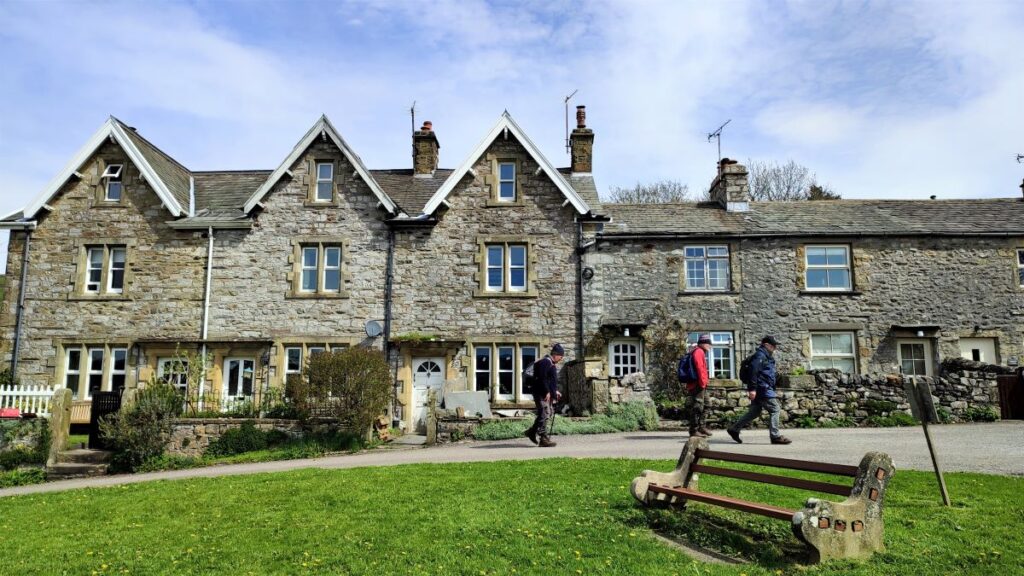
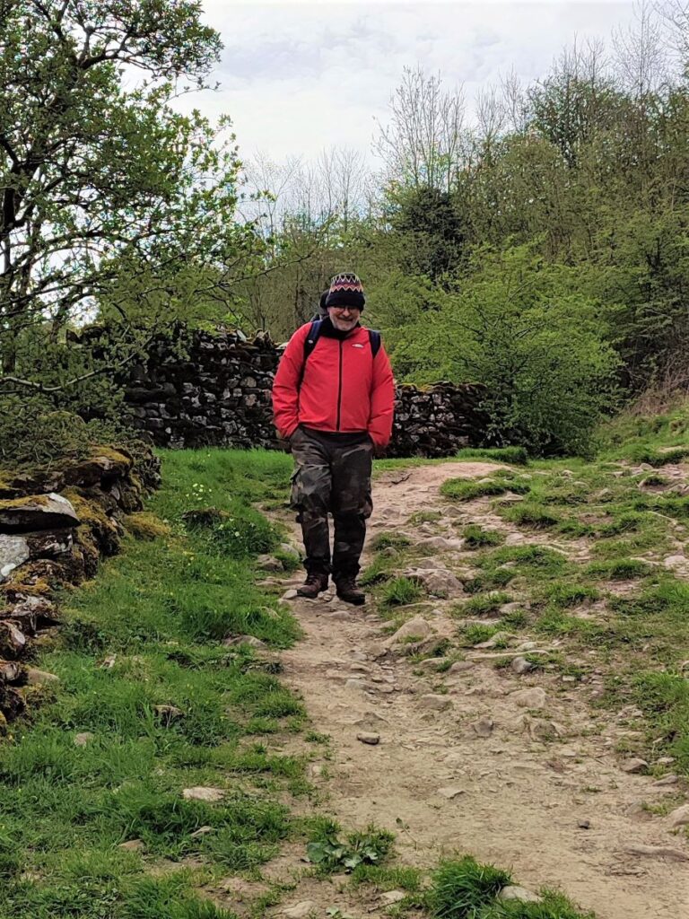
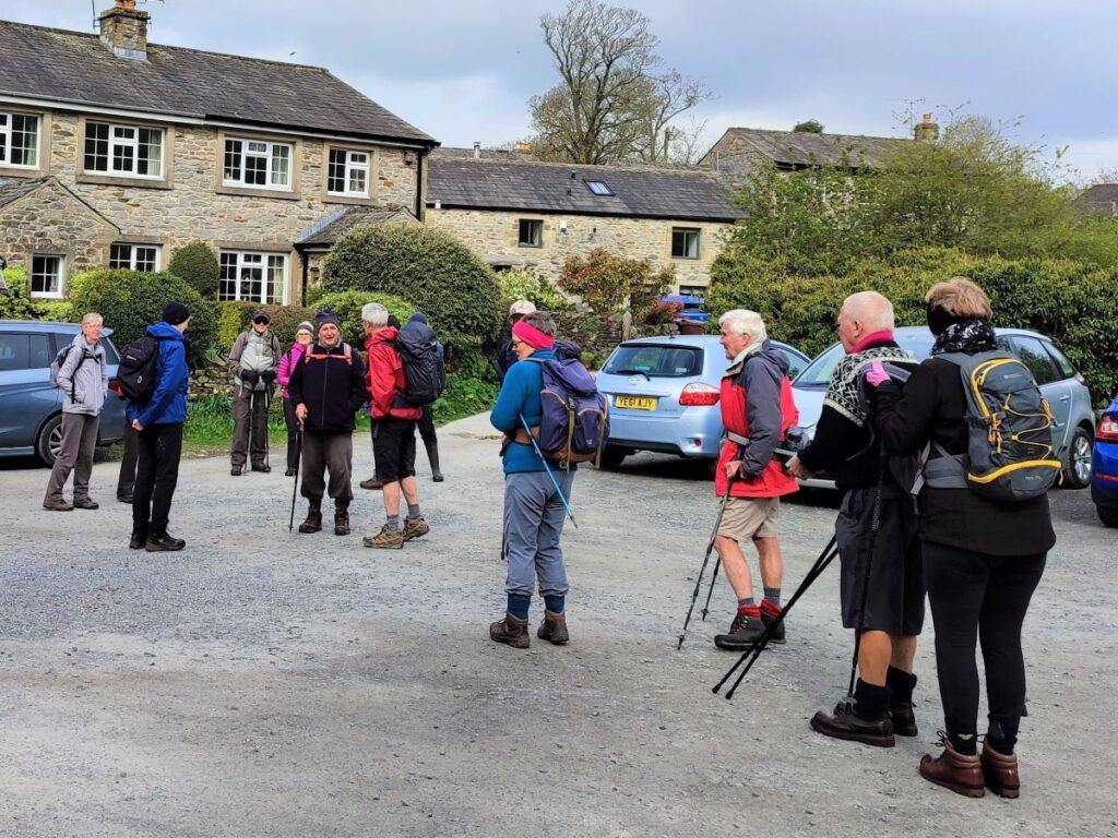
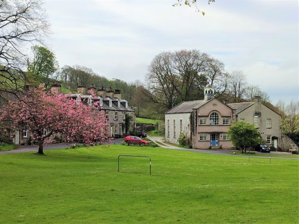
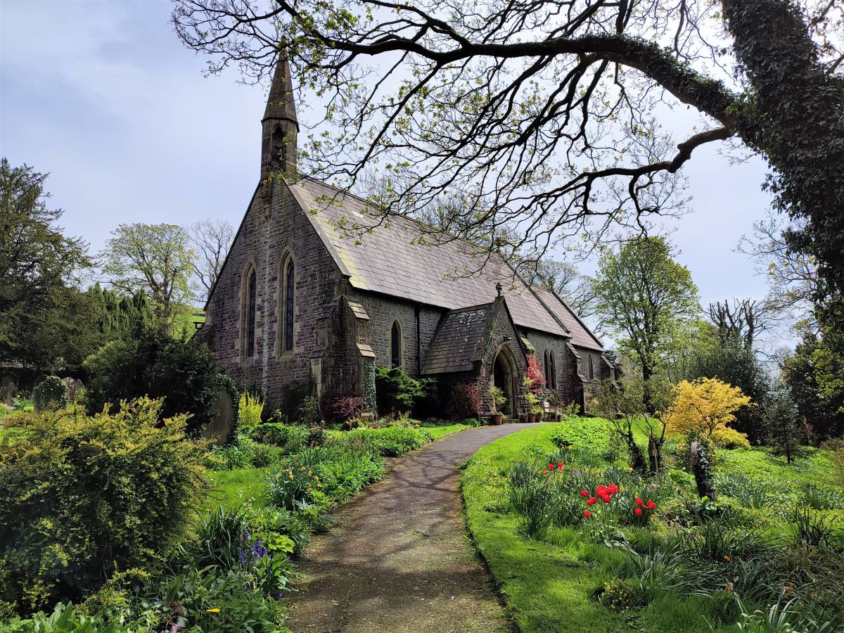
The walk starts in Langcliffe village. This is north of Settle on the B6479 Horton-in-Ribblesdale Road. Take the first turn into Langcliffe from the main road, it’s well signposted, and once in the village there is ample parking opposite the church.
If you are using a paper map to get to the start, the grid reference is SD82286509. If you prefer satnav, then use the address / postcode for the church – St. John the Evangelist, Main St, Langcliffe, Settle BD24 9NF. If your preferred tool is What-3-Words, then the tag is shirt.plank.peach
Notice that there is honesty box to allow for donations for parking – please help support the village by giving a suitable payment.
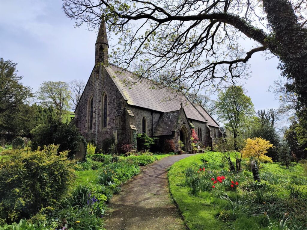
Our walk takes us back down Main Street to exit the village, but before we leave it’s worth taking a look at the church of St John the Evangelist: this relatively young Yorkshire Dales church dates from 1851 and is often visited by tourists and walkers, many of whom comment on its peaceful atmosphere. It is open from 10.00 am to 4.00 pm daily – sometimes later in summer months.
The church was originally one of the four ‘daughter’ churches of the Ancient Parish of Giggleswick. The site, together with funds for the building, was given by John Green Paley, a director of Bowling Iron Works at Bradford. He was a member of a prominent Langcliffe family which included the famous Archdeacon Paley of Carlisle. The Bowling Iron Works was of national significance – you can read more about it at here and further details of the church and its stained glass windows can be found here.
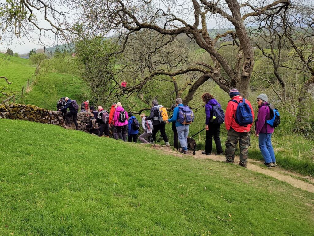
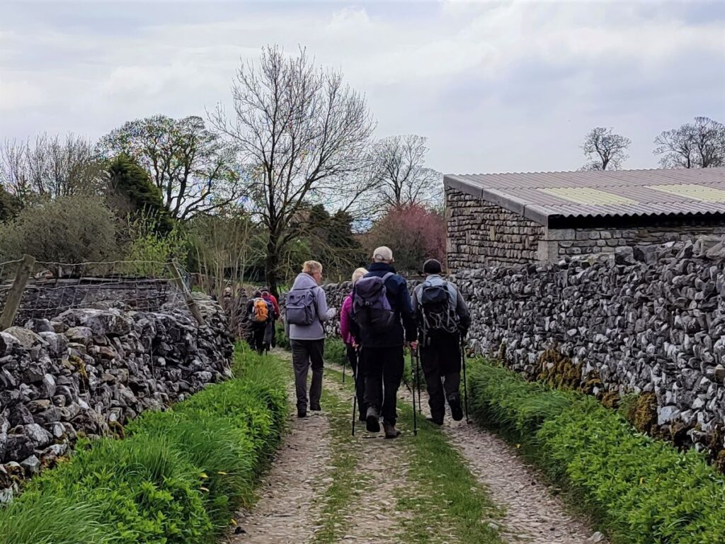
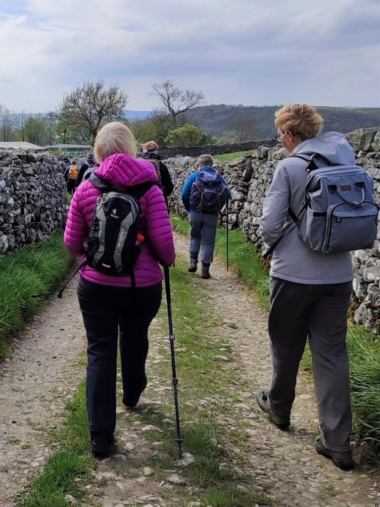
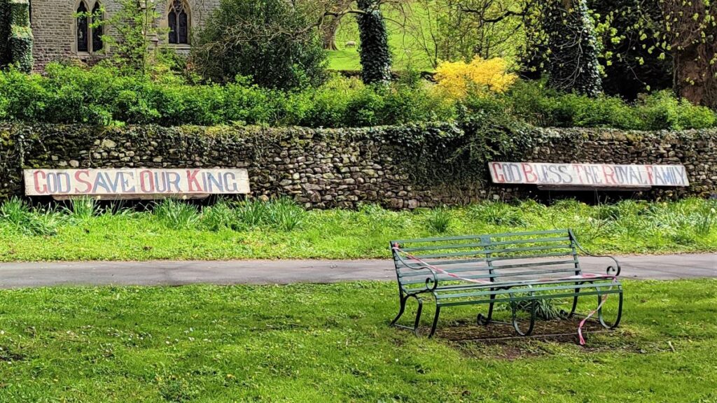
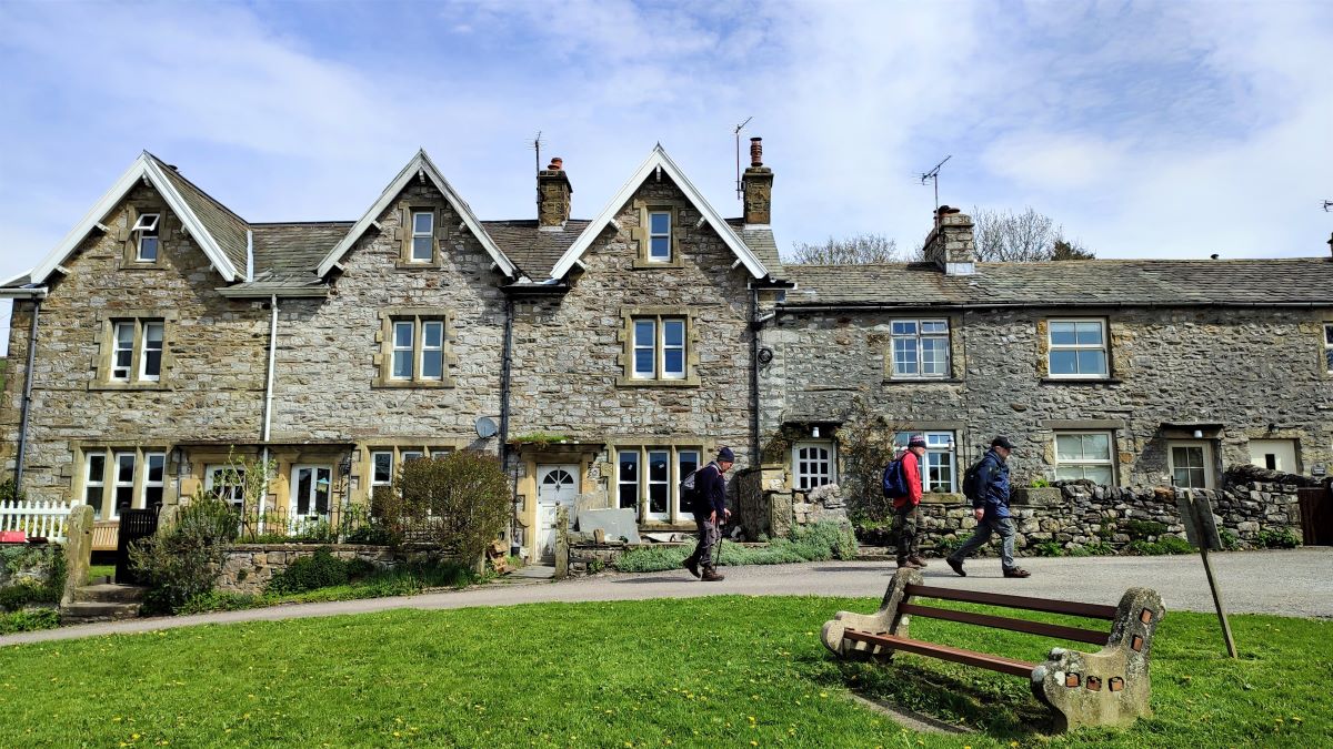
To start the walk, we turn right out of the car park and walk downhill with the village green on our left. Look out for the war memorial and then New Street (on the right) and take this pleasant lane past the Old Liberal Club back down to the B6479.
At the main road there is a footpath starting slightly to the left on the opposite side of the road. Cross carefully and follow that path down to the pedestrian bridge over the railway. This is of course the Settle to Carlisle line, which we meet on many other Bentham Footpath Group walks.
At the far end of the bridge, we see a minor lane opposite which is the entrance to a paper mill – this is Langcliffe Mill, built in 1783/84. There is a designated footpath to the right of the roadway, and we take this – be aware that heavy goods vehicles may be manoeuvring here so take care.
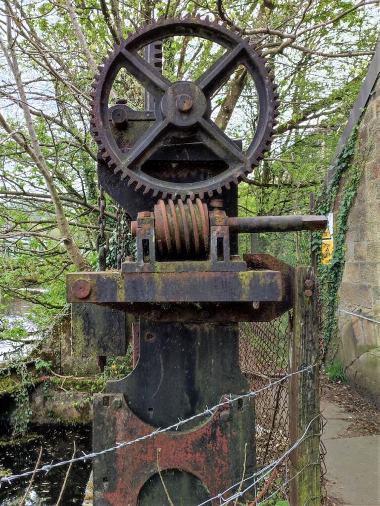
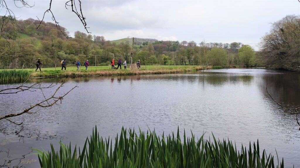
We follow the path round the side of the newer industrial sheds to find the original stone built mill building and the mill pond that served it. The path continues to the right at the far side of the pond – notice the interesting cast iron control gear for the now unused water feed into the waterwheels that would have once powered the mill.
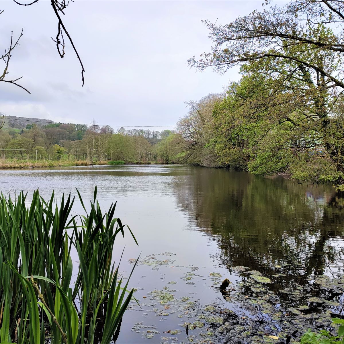
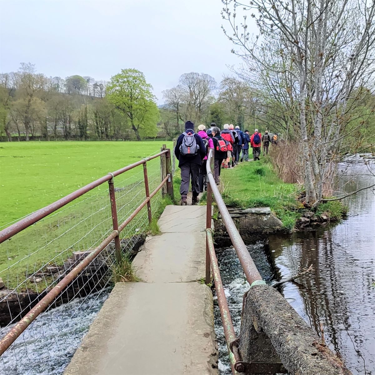
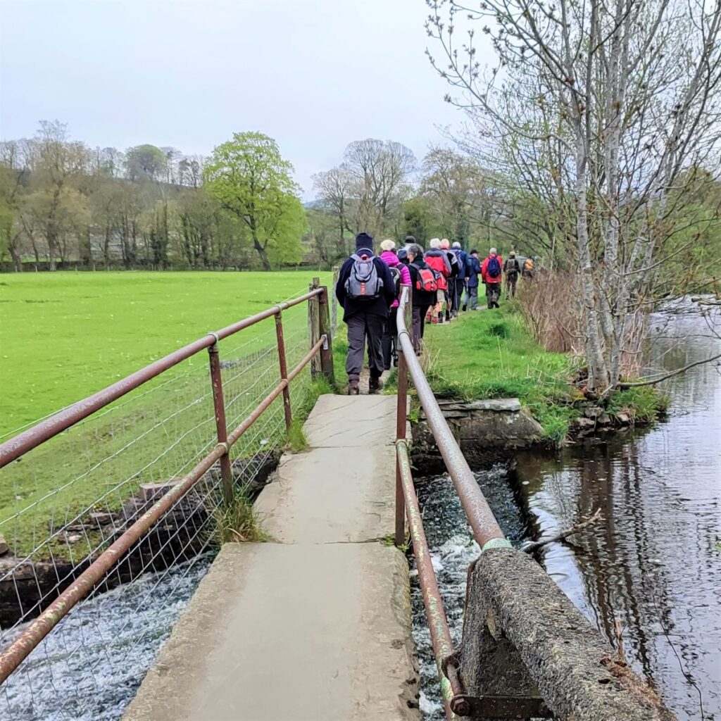
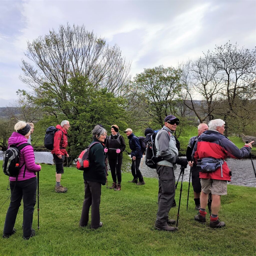
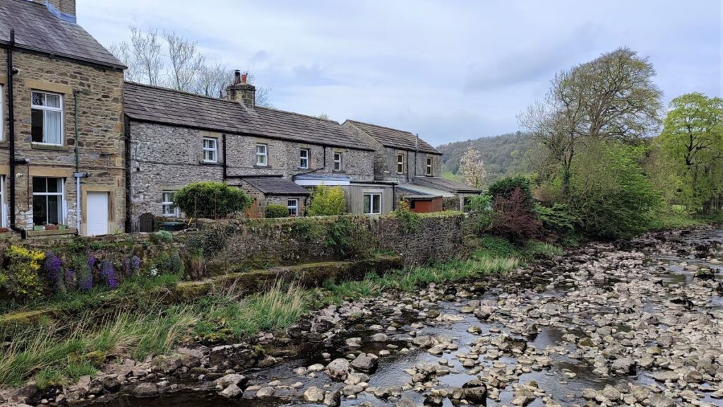
We now take the path up the side of the mill pond, over a footbridge at a spillway, and continue until we get to the far end of the reservoir, where we find a gate on the left where we access a path at the side of a house to pick up a road between two terraces of houses. We head right here, and at the end of the housing turn left to cross the river Ribble via a footbridge.
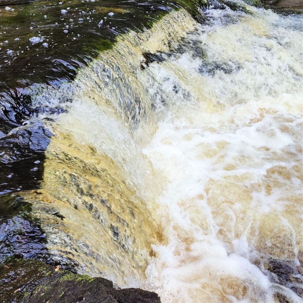
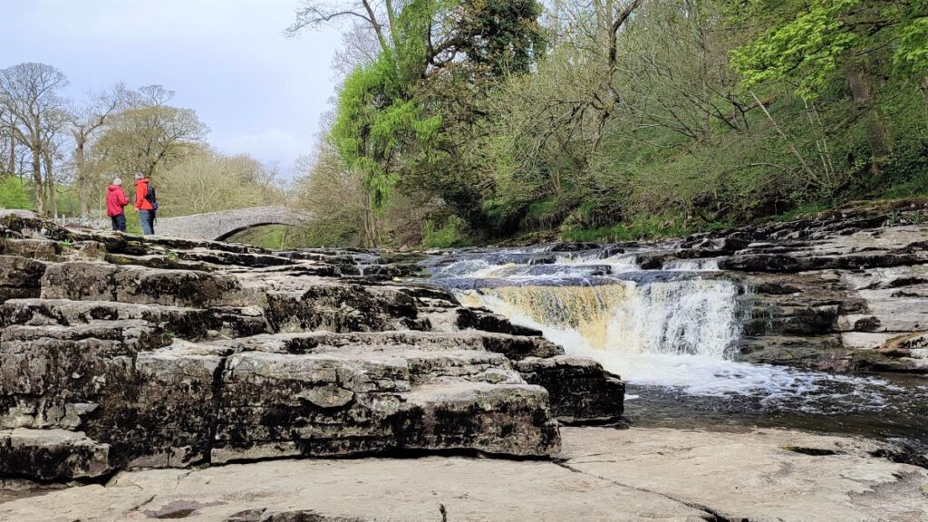
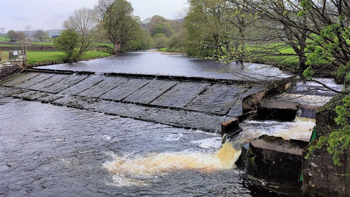
At this point we see a significant weir – this was built along with the Langcliffe Mill in 1783/84, and the weir’s function was to control water flow to the reservoir which supplied water to the waterwheel that powered the mill equipment.
Langcliffe Mill was one of Yorkshire’s largest and earliest cotton spinning mills. In the early 1800’s the mill was enlarged to accommodate a steam engine to supplement its water power. The mill, along with the Watershed Mill further downstream operated until 1950.
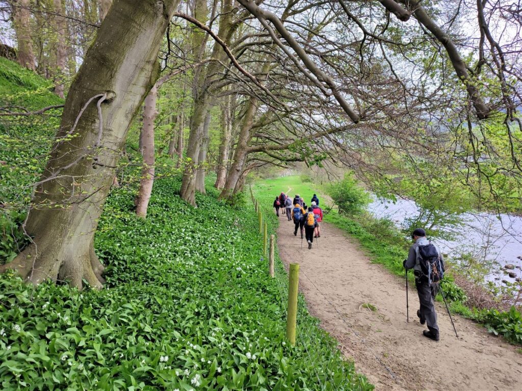
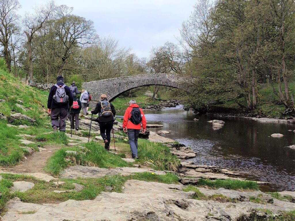
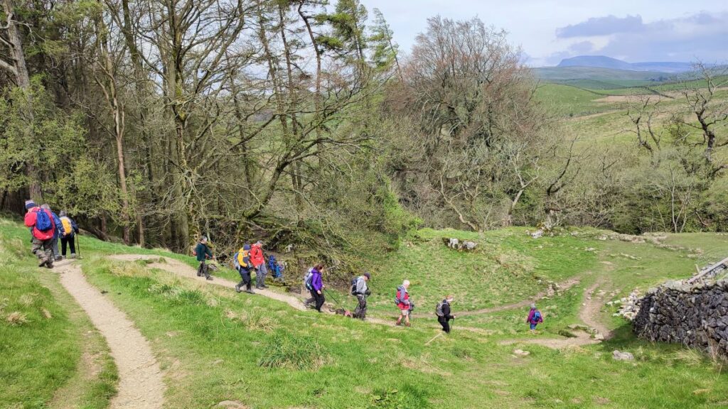
After the footbridge we turn right, and we are now on the Ribble Way – a popular route, so navigation is clear. In essence we follow the river upstream until we get to the packhorse bridge at Stainforth.
As we head upstream, we pass another mill on the opposite side of the river. This is known locally as the Paper mill, or Old Mill, and it sits on the Langcliffe/Stainforth parish boundary. It was built as a corn mill, but later became a paper mill, which it remained until recently when it was repurposed for stone processing.
We carry on heading North up the left bank of the Ribble until the caravan park at Knight Stainforth comes into view, and as it does, we see Stainforth Beck disgorging into the Ribble over on our right. This was the site of a notorious tragedy in October 2000 when two teenage girls on a school trip from a Leeds school were swept away and drowned whilst walking in the fast flowing beck.
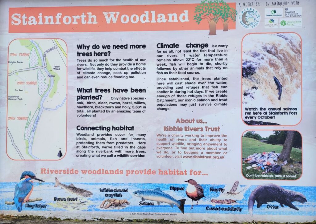
Also of interest in this area is the signage explaining how and why the area will be improved by further tree planting.
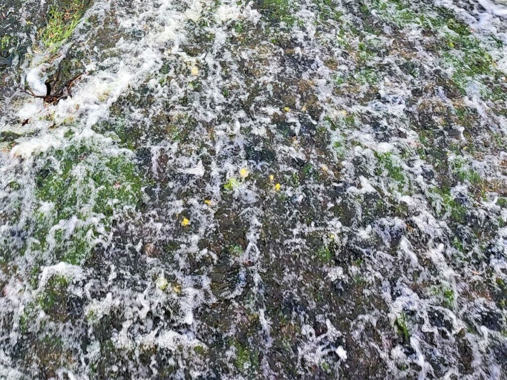
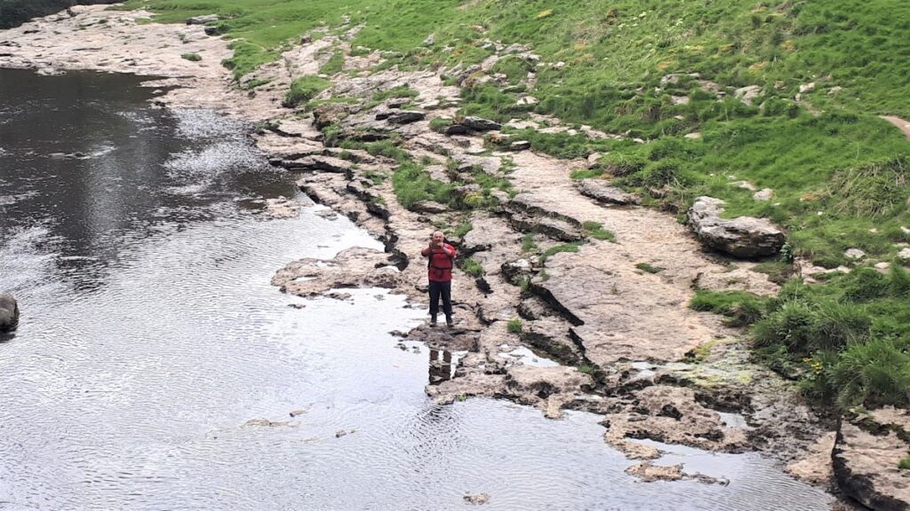
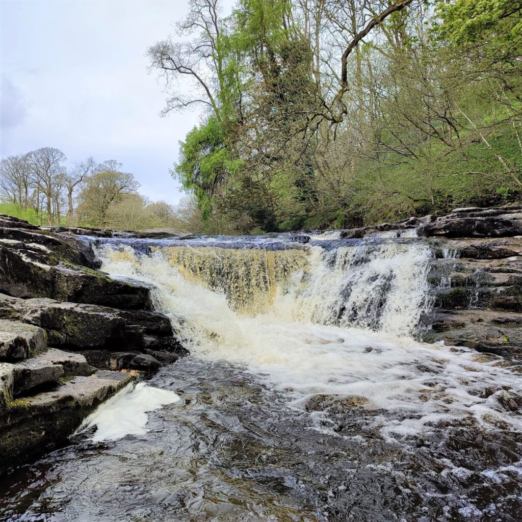
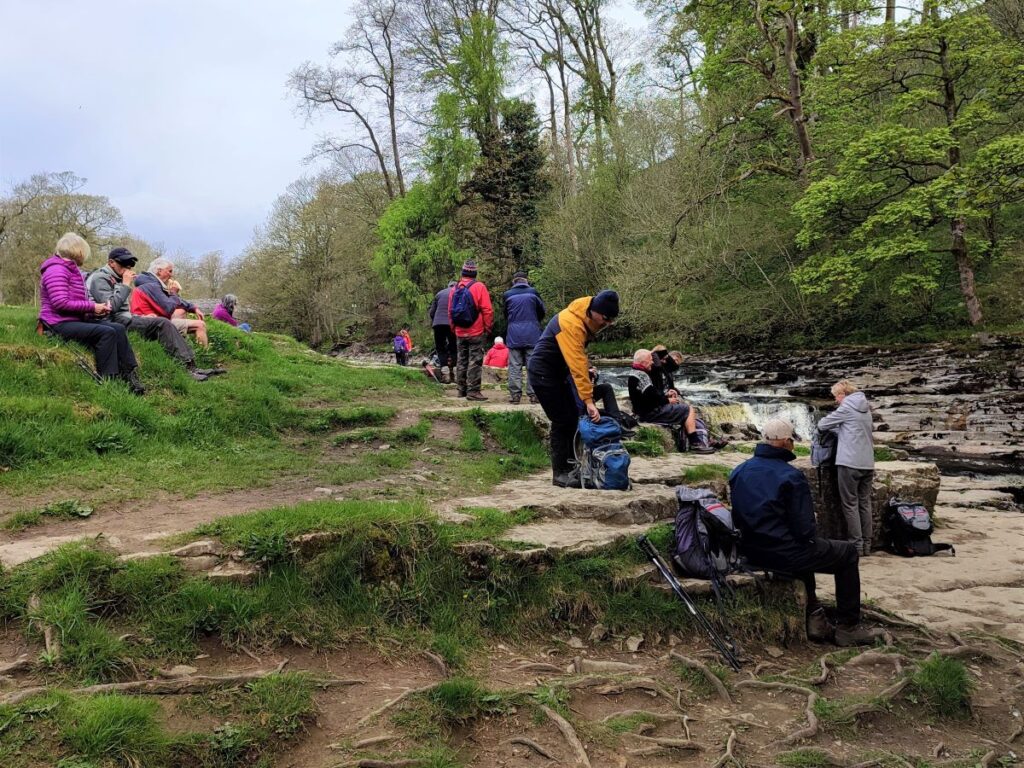
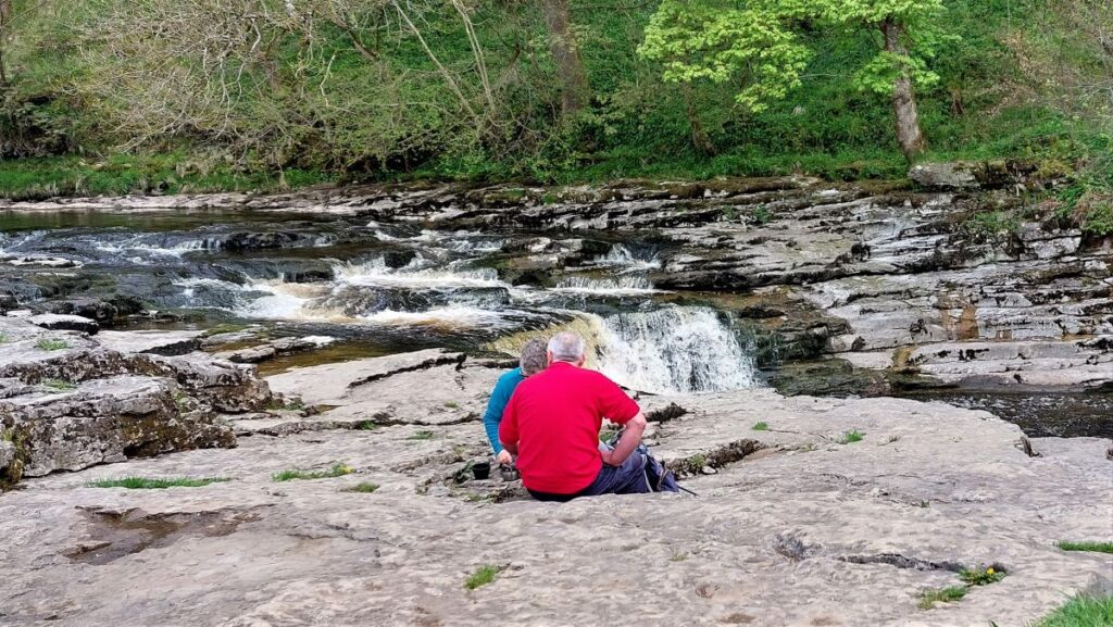
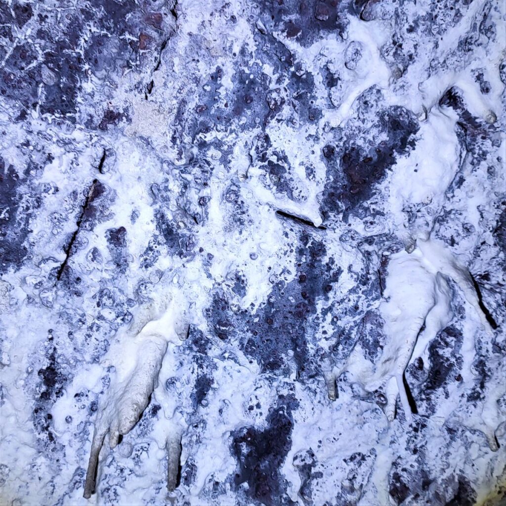
Slightly further upstream from here we arrive at the waterfalls known as Stainforth Force – a great place to stop for a short rest. The Force / Foss is a well-known location to watch salmon leaping in the autumn as they head upstream to spawn. Seeing the salmon is a matter of chance, and having your camera pointing in anything like the right direction when a salmon does leap requires either genius or exceptional luck. It might therefore be easier to click here to see a YouTube video.
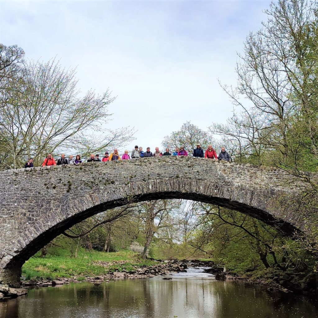
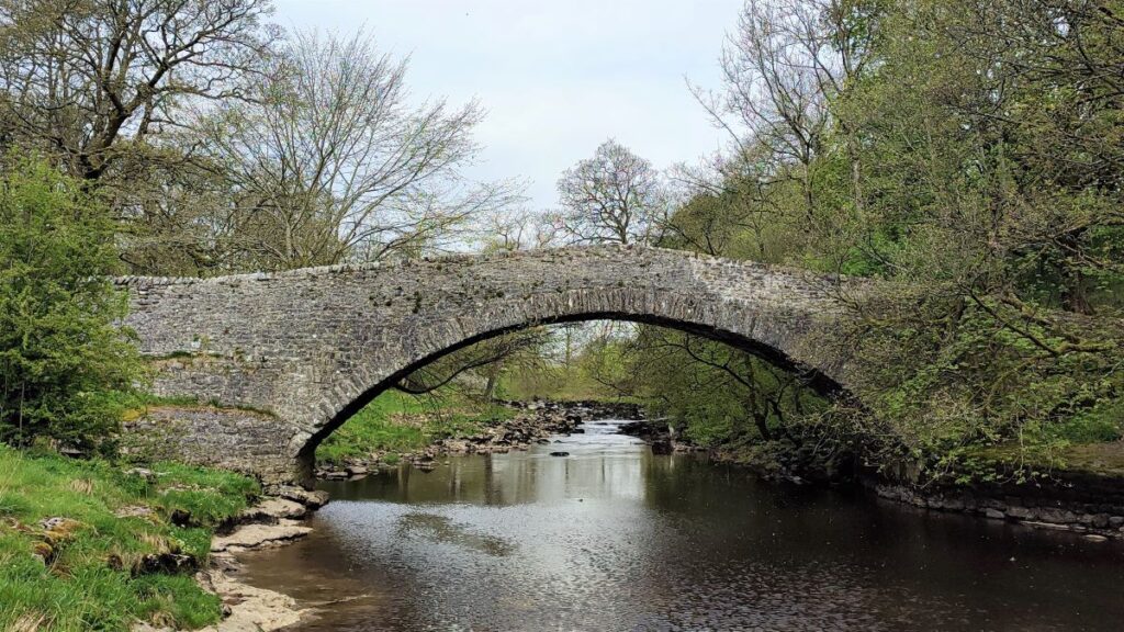
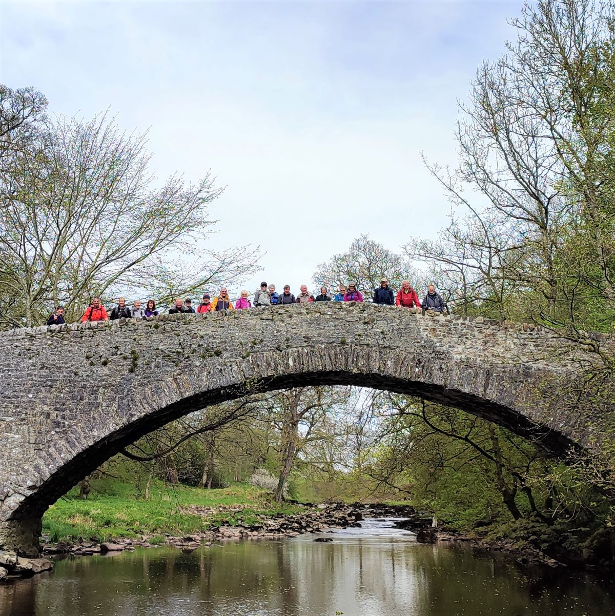
Above Stainforth Force, we find an ancient packhorse bridge which now belongs to the National Trust. Stainforth Bridge, (variously known as Stainforth packhorse bridge and Knight Stainforth bridge) is a 17th century, single arched packhorse bridge. It was in private ownership until the 1930s, when it was taken on by the National Trust, and is now a grade II listed structure.
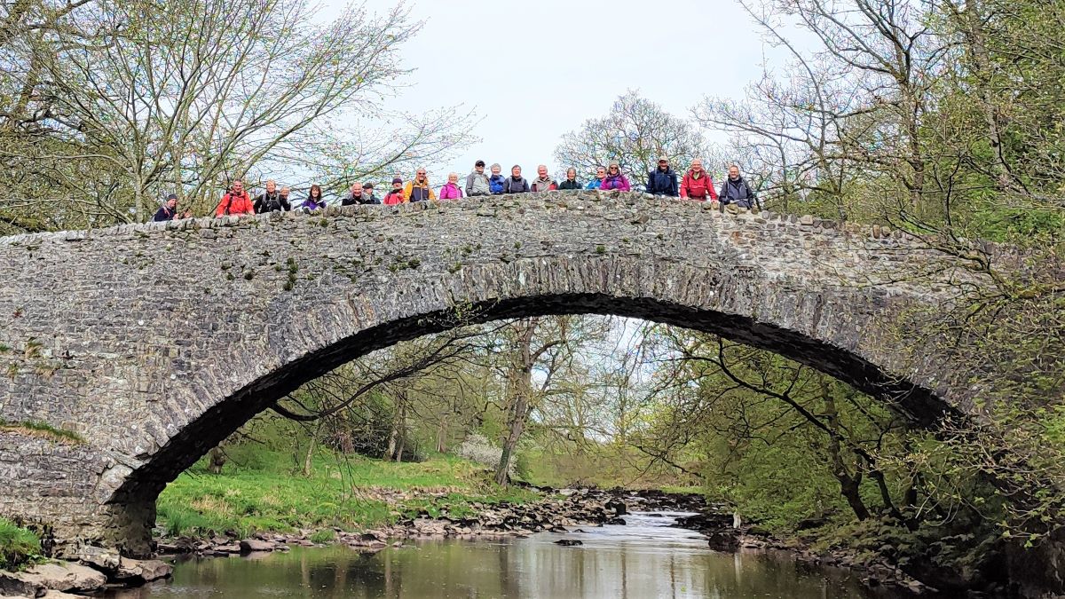
The bridge was built by Samuel Watson in 1675. Watson was a Quaker who owned Knight Stainforth Hall, a Jacobean house which is nearby, and which we have passed on other Bentham Footpath Group walks. Prior to then, the site was a simple ford which was obviously impassable during times of flood. The bridge carries a minor road called Dog Hill Brow and besides being a Medieval route linking York and Lancaster, and a monastic road taken by monks between Yorkshire and the Lake District, the route was also a day to day packhorse road connecting Clapham with Malham.
A covenant was drawn up in the year of the bridge’s building stating that people on foot, or with carts and cattle, had “free passage between the towns of Knight Stainforth and Stainforth Under Bargh” – the name that Stainforth village then carried.
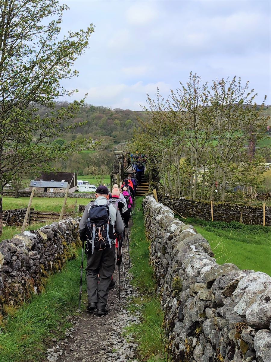
We cross the bridge and follow Dog Hill Brow up toward Stainforth. Just before we arrive at the bridge over the Settle to Carlisle railway line though, we take a bridleway on the right which follows the railway and then turn sharp left to cross it before meeting the B6479 which we cross with care.
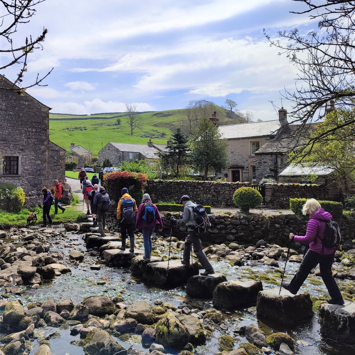
We now head into the village via the optimistically named Main Road, and turn left at the end to walk up Goat Lane until we find an open green on our right with stepping stones over Stainforth Beck. Note that if the flow of the Beck is too strong for safe use of the stepping stones, then there is a safe alternative: Go back to the top of main street and look ahead to find the Craven Heifer pub, walk past the pub, and take the small road on the left which rather confusingly becomes Main Street. Continue left up here and you will find yourself safely at the other side of the stepping stones.
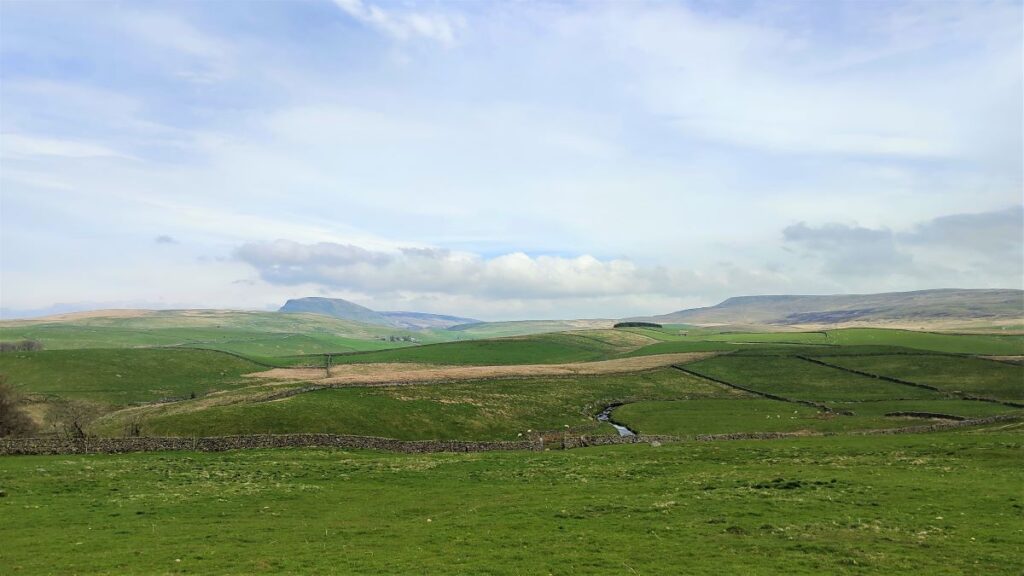
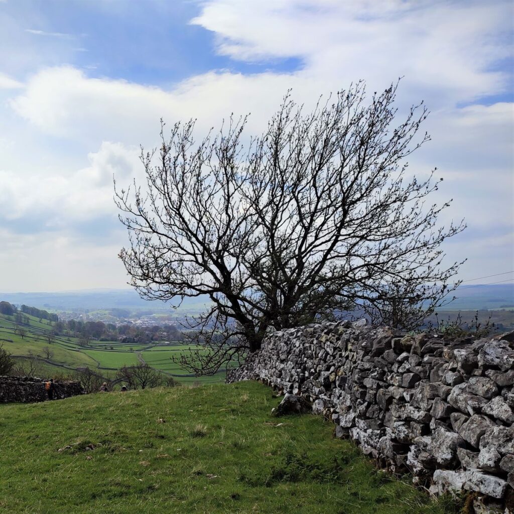
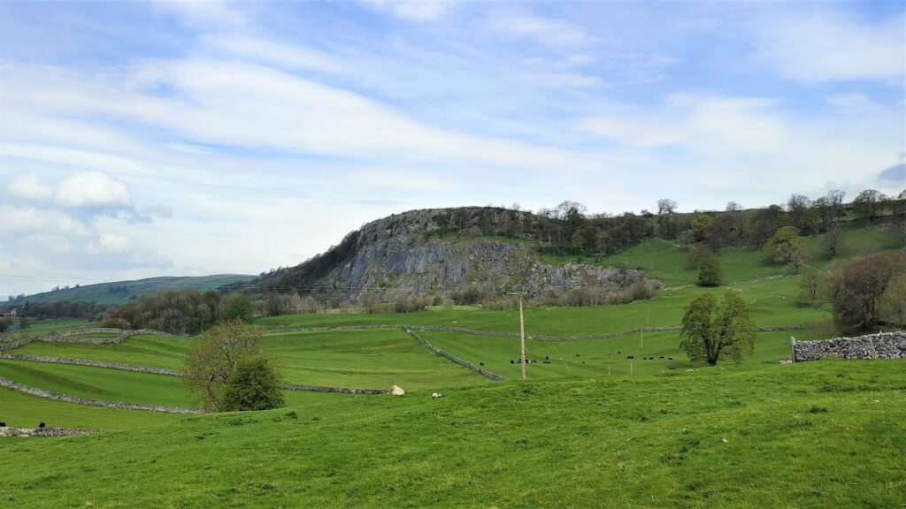
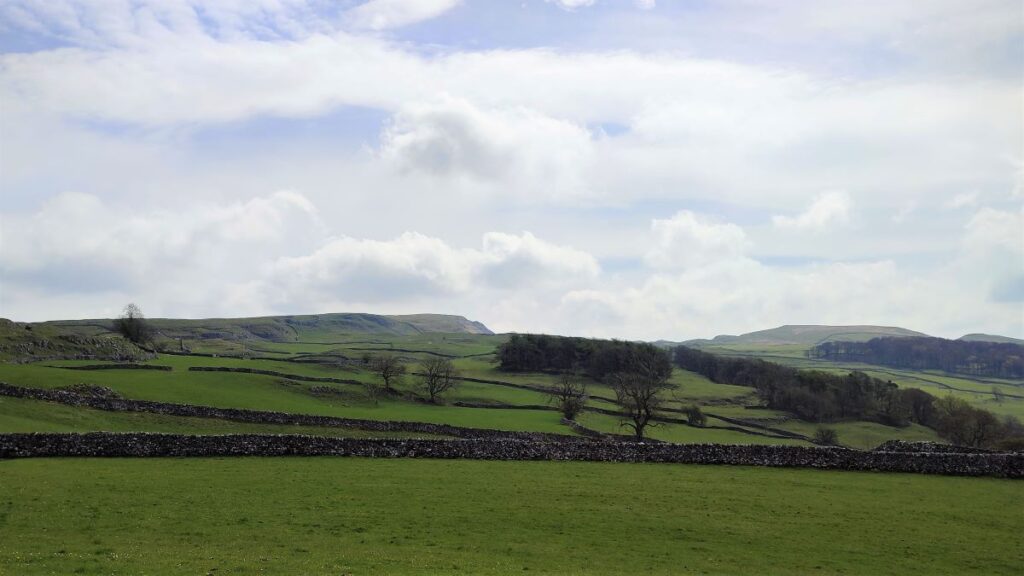
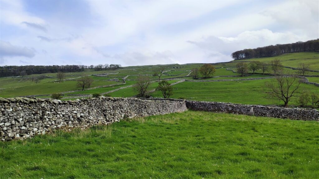
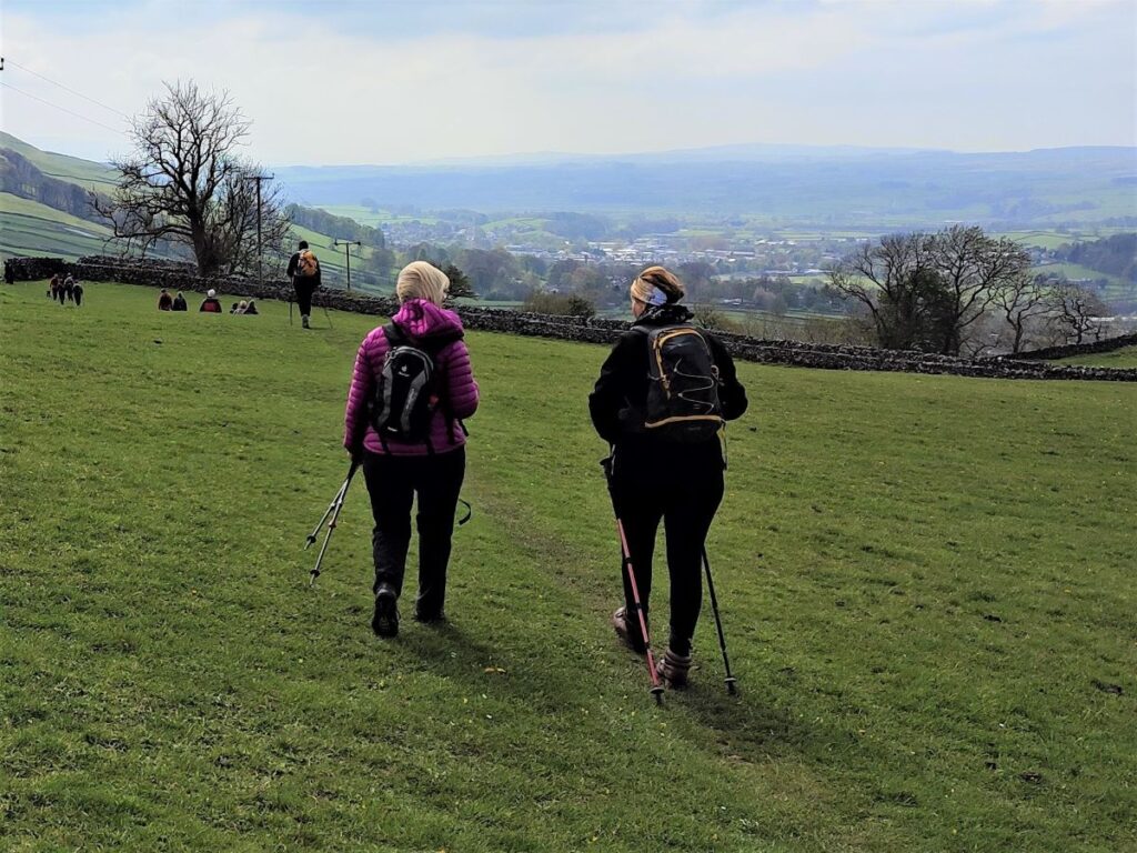
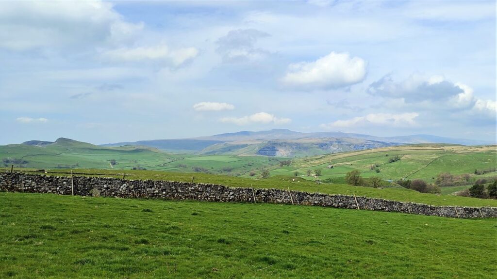
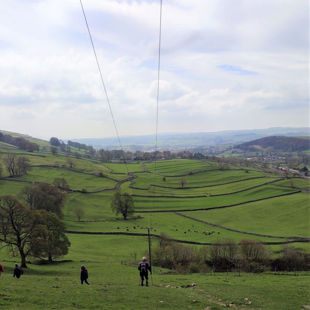
At the Eastern side of the stepping stones we find ourselves on a very pleasant village green with attractive cottages on three sides. Ahead of us is a steep lane, signposted as Pennine Bridleway, which leads up to Catrigg Force. The climb is quite steep at first but gets easier as we progress. Don’t forget to take a moment or two every now and again to turn round and enjoy the views back across the Ribble valley toward the Quarries at Horton and the peak of Pen-y-Ghent as you climb.

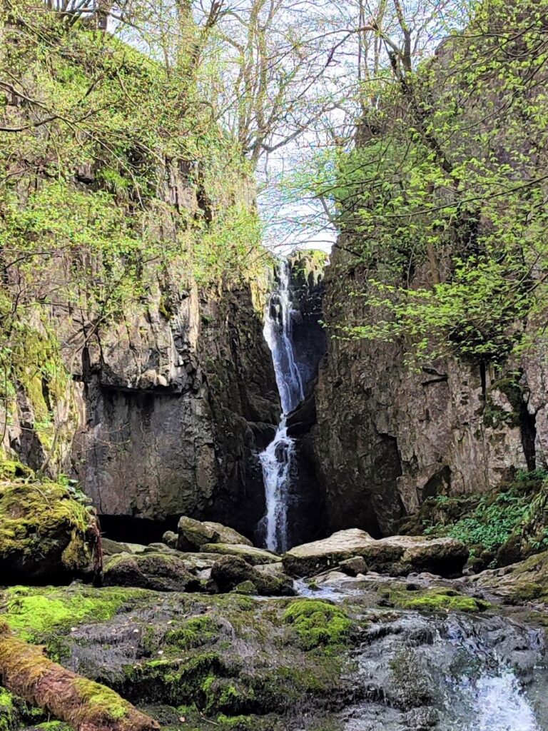
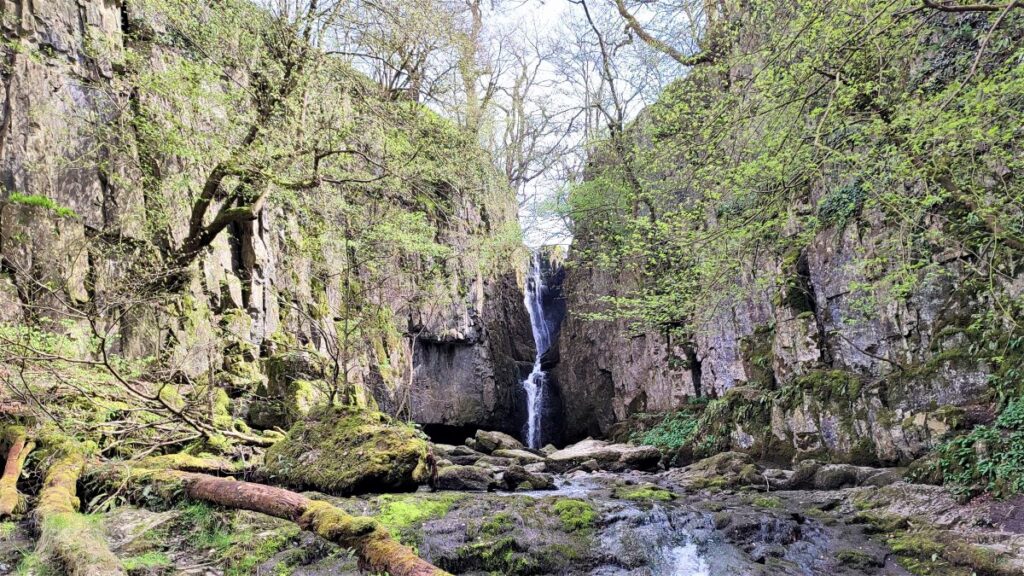
At the top of the climb, we reach point where the lane meets three gates. The one on the left accesses Catrigg Force, the centre is private land, and the one on the right is our onward route. It would seem silly to walk past Catrigg force without having a look though, so that is what we do next.
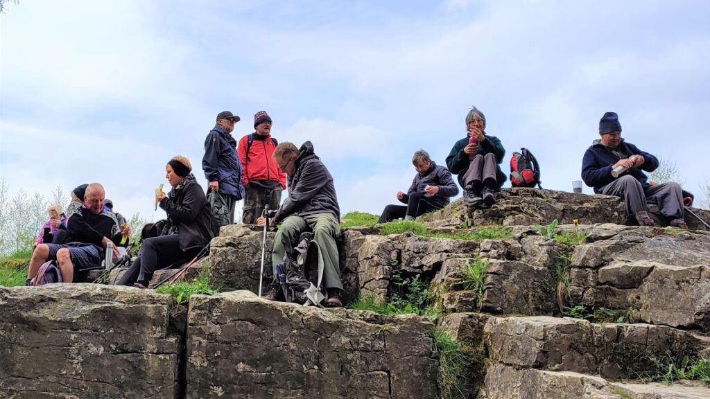
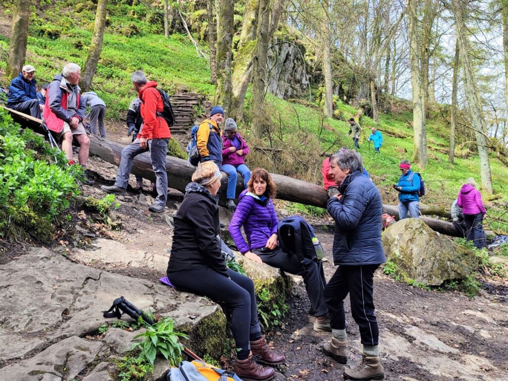
The gate takes us onto a path which zigzags down to the woodland just below the waterfall, and this is a great sheltered place to enjoy lunch. It is said that the composer Edward Elgar often stayed with friends in Settle and enjoyed the walk up to Catrigg Force whenever he visited. Note that there is a path which approaches the top of the waterfall – this is not recommended.
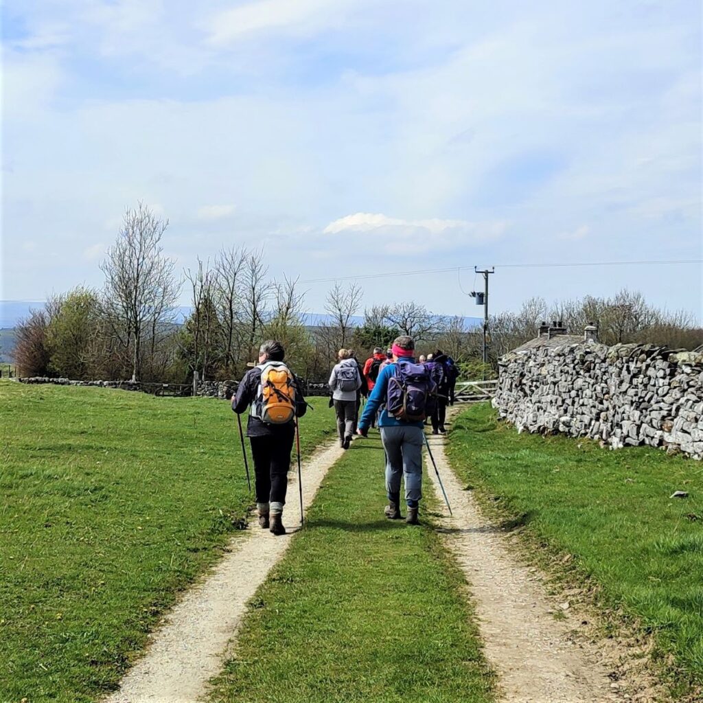
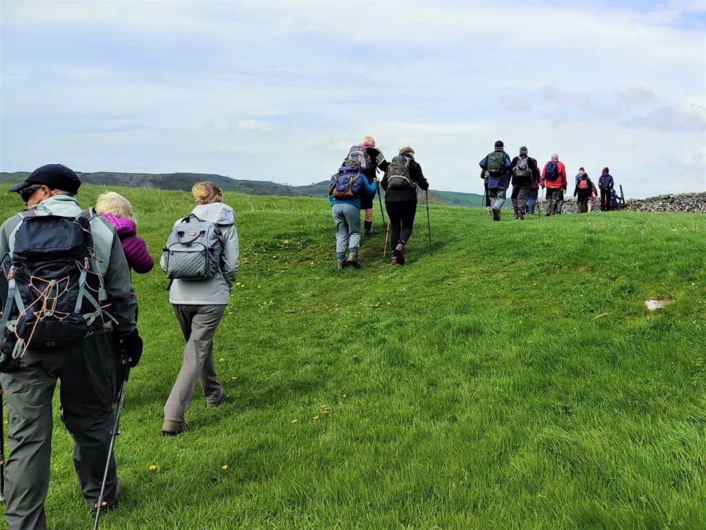
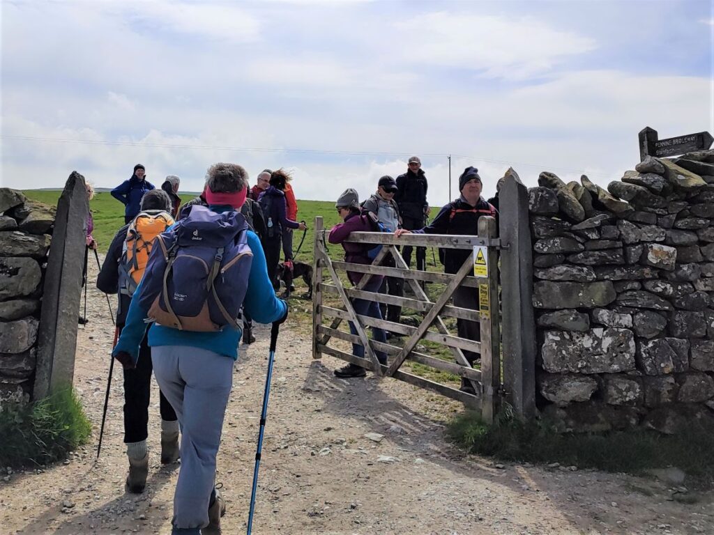
We return to the group of three gates and take the one on the right to continue with the Pennine Bridleway, heading up the hill on a clear and well-made track to a gate in a drystone wall. Here we branch off to the right and take the footpath to Winskill – the Pennine Bridleway continues along the track.
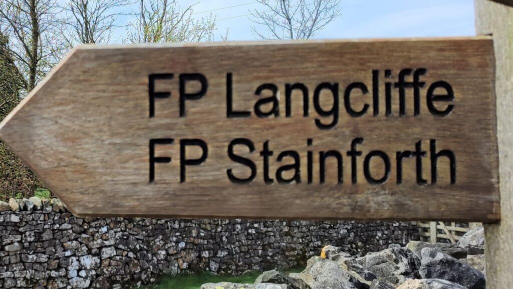
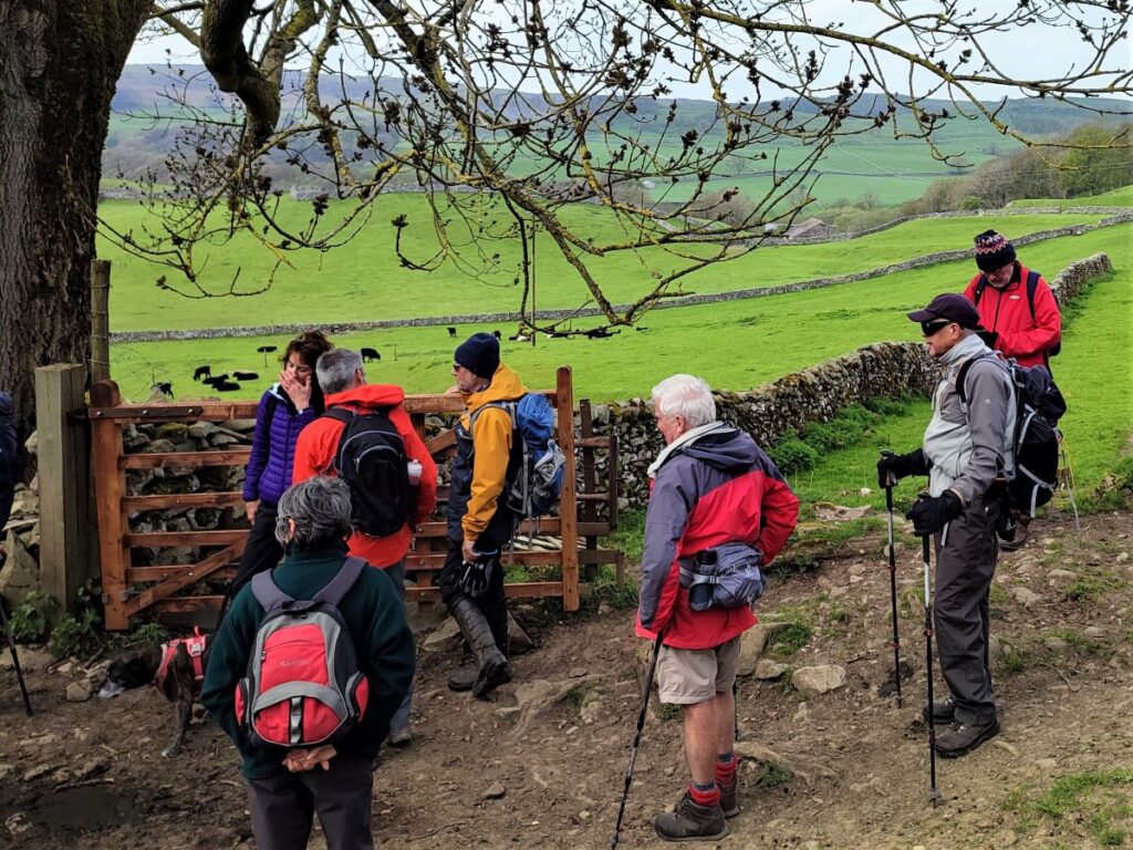
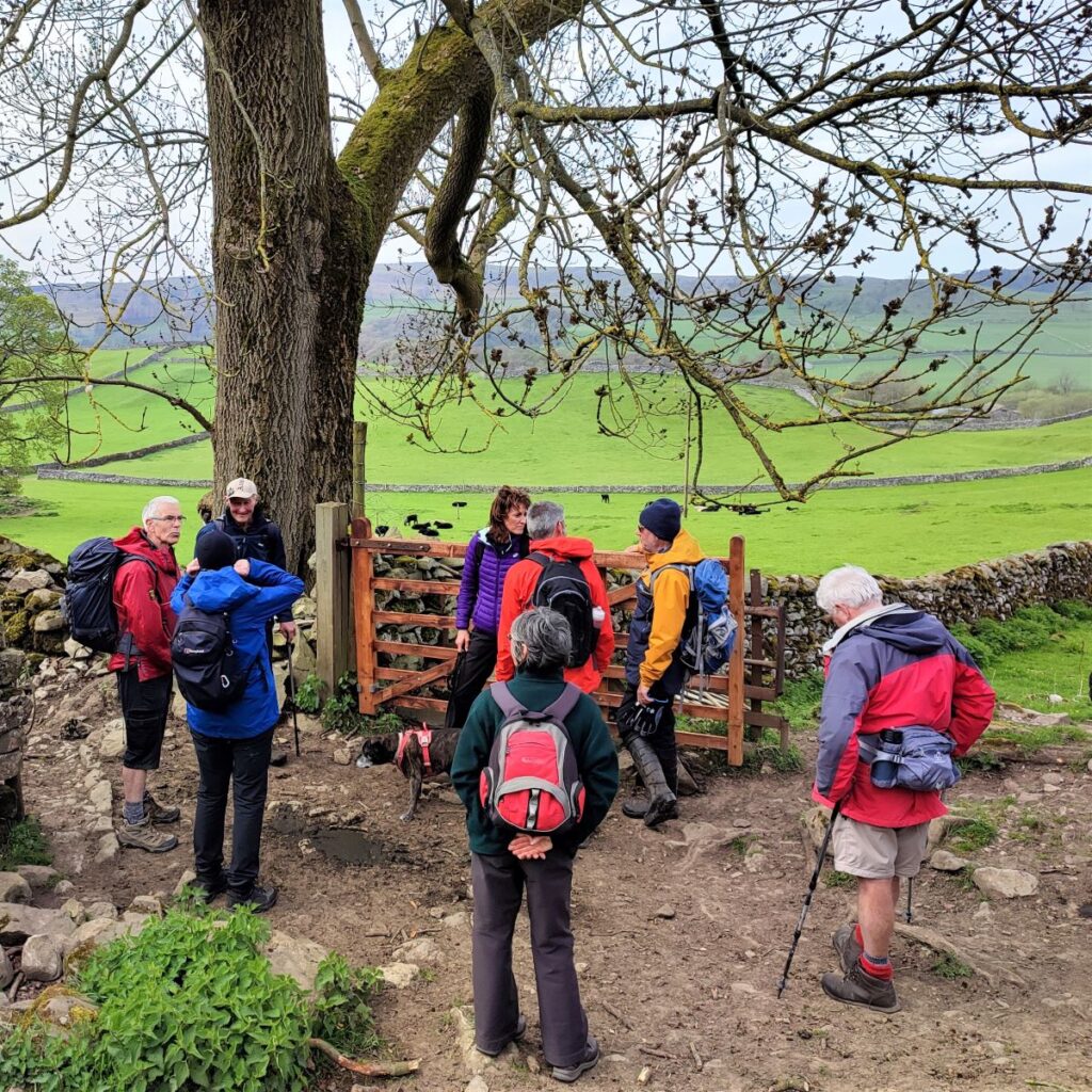
There are two groups of buildings at Winskill – higher and lower Winskill. We keep higher Winskill on our right and head toward the whitewashed farm buildings at lower Winskill. As we approach them, look for a stile in the drystone wall to the left, signed for Langcliffe and Stainforth.
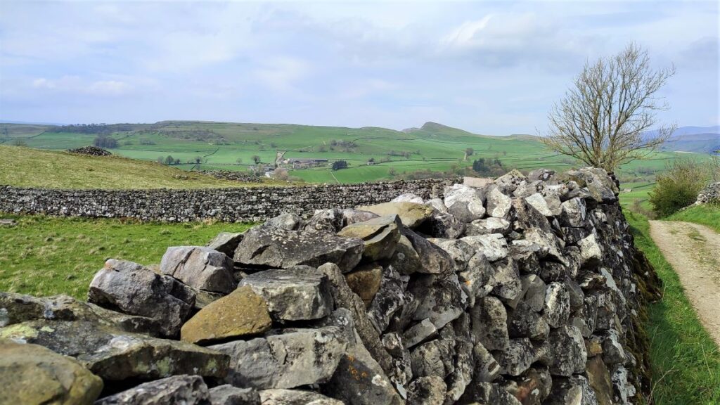
We take this path across fields which in spring are used for lambing, to a gate at the opposite side of the field. From there we head slightly right to follow the path downhill with Langcliffe in the distance. From here, the route down is a steep in places, and if wet, can be a little slippery so take care. We also noted that the route on the ground as recorded in our GPX file differs slightly to the OS map – in practice this is not a cause for concern as the correct route is very clear.
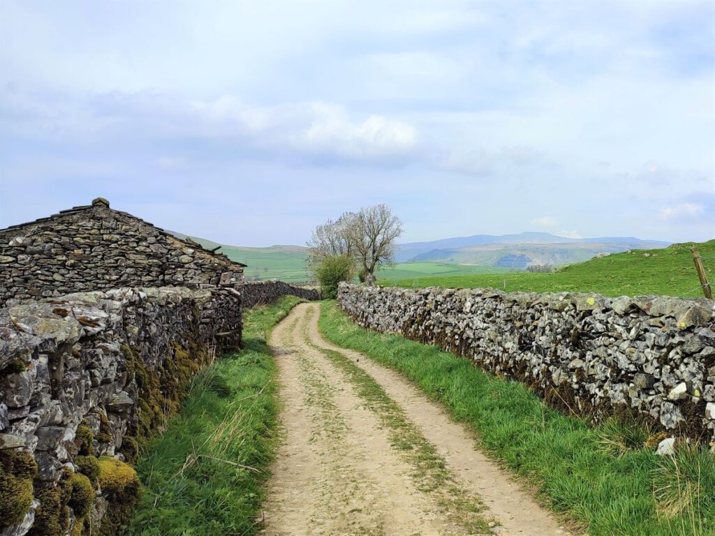
After a while, the ground levels off and we arrive at a gate leading into an enclosed lane – this takes us down to Langcliffe. Eventually ending at the car park where we started. So, if you are tired or short of time, press on now, staying on this lane until the walk end.
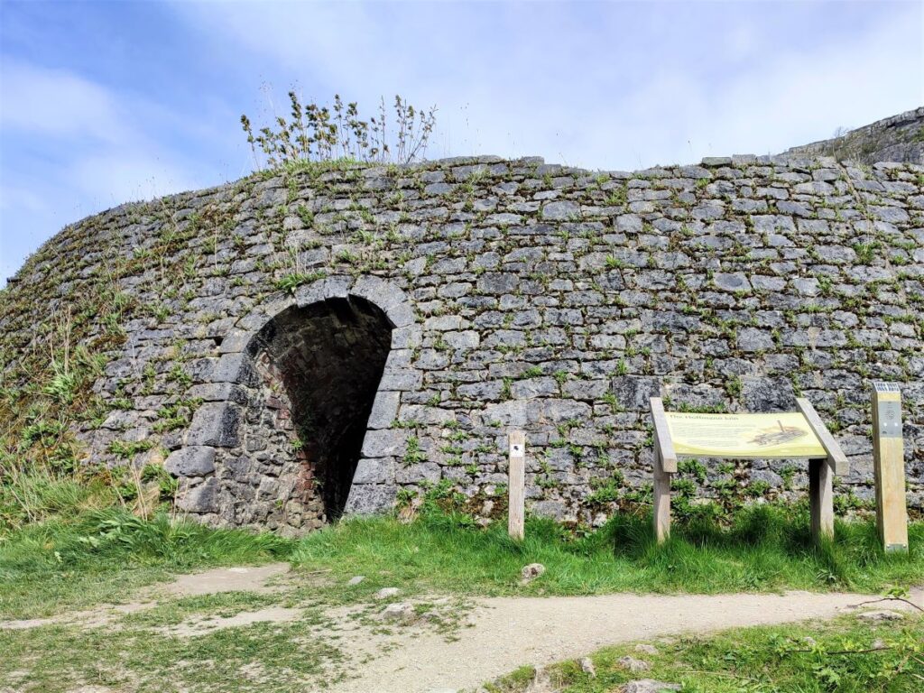
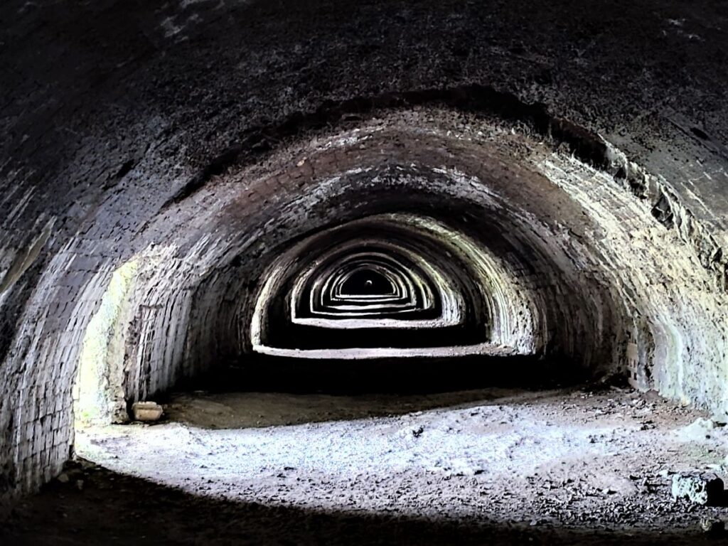
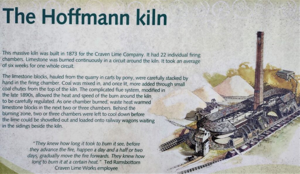
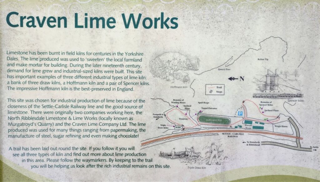
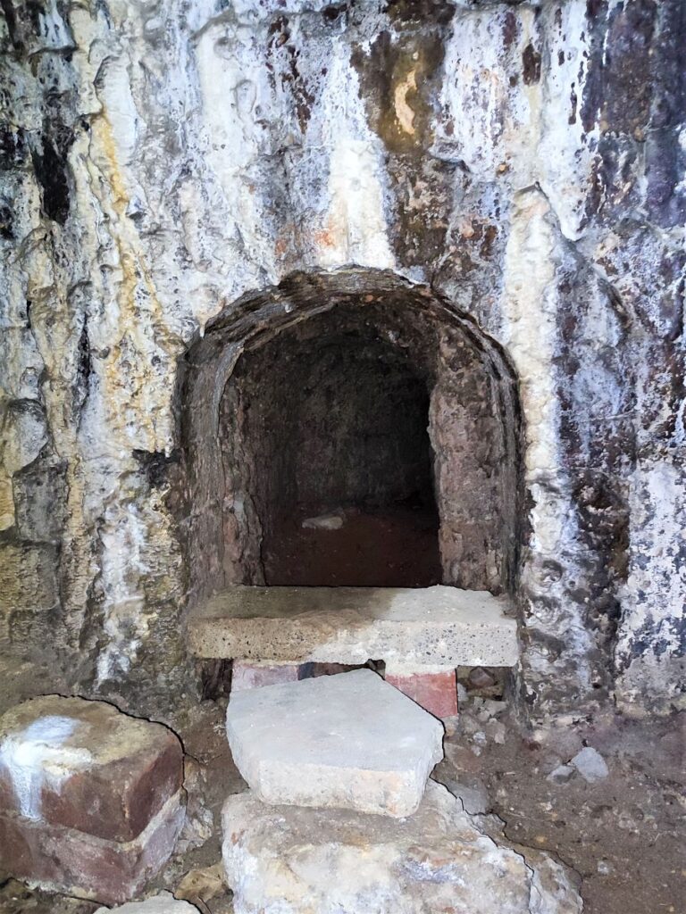
For those with an interest in industrial archaeology and local history, we take a short diversion to the Hoffman Lime kilns – these are accessed via a waymarked path exiting the lane on the right. The path heads back across fields via a number of stiles to end at the access road into the lime kiln site. This has been redeveloped over recent years and now includes light industrial units, so take care to cross carefully and then follow the footpath along the side of the railway to the kiln: There are the remains of three types of Lime Kiln on the site; the Spencer Kilns, the Triple Draw Kilns and visually stunning Hoffman Kiln, along with evidence of railway sidings, a tramway used to deliver raw limestone, and an inclined plane.
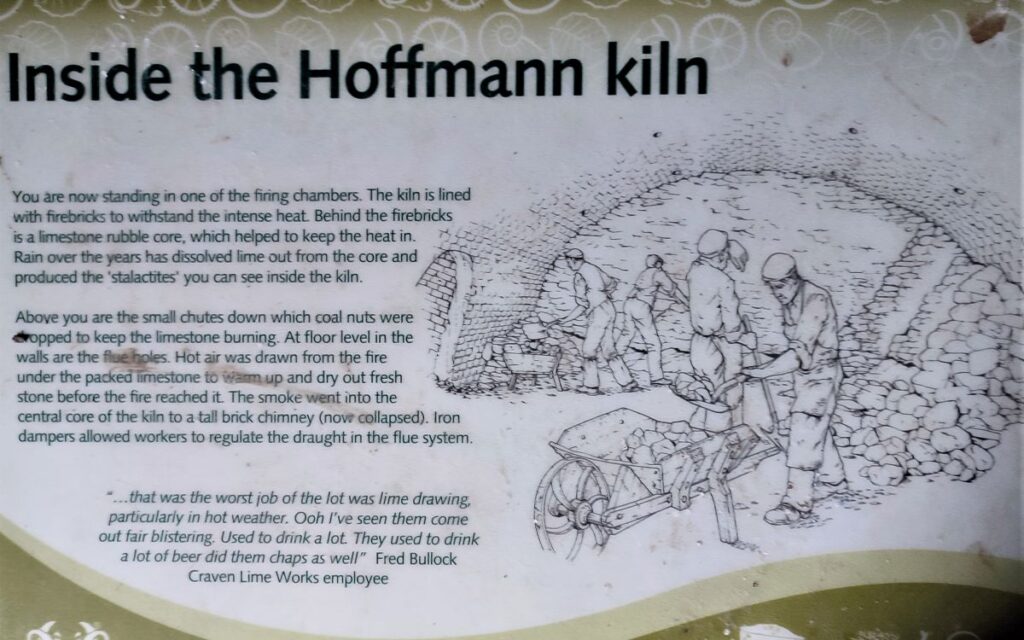
The Hoffman was the largest and most modern of the three kiln types at this site and was built in 1873 for the Craven Lime Company. The Hoffmann Continuous kiln was patented in 1858 by its German inventor Friedrich Hoffmann. The version built under licence at Langcliffe had 22 individual burning chambers. Limestone was burned continuously in a circuit around the kiln, and it took an average of six weeks for one whole circuit to burn round the loop. Limestone blocks from the nearby quarry were barrowed in and carefully stacked by hand in the burning chamber. Coal was mixed in, and once lit, more added through small coal chutes from the top of the kiln.
The complicated flue system allowed the heat and speed of the burn around the kiln to be carefully regulated. As one chamber burned, waste heat warmed limestone blocks in the next two or three chambers. Behind the burning zone, two or three chambers were left to cool down before the lime could be shovelled out and loaded onto railway wagons waiting in the sidings beside the kiln.
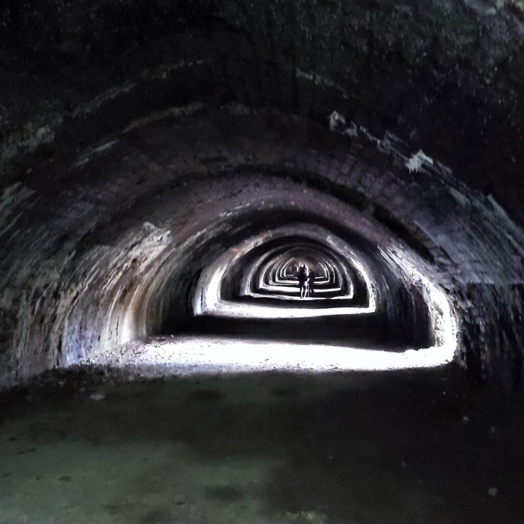
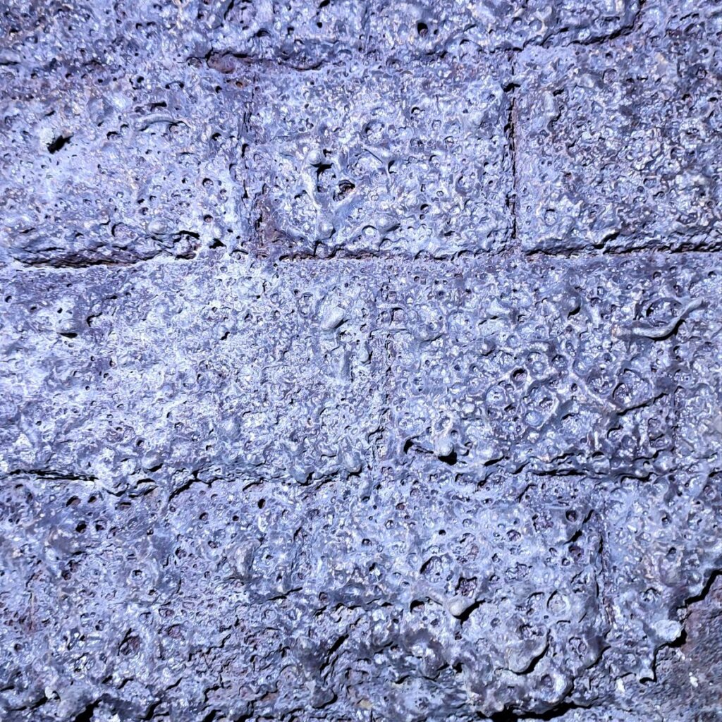
The kiln is lined with firebricks – now heat scarred. Behind the firebricks is a limestone rubble core, which helped to keep the heat in. In the roof are the small chutes down which crushed coal was dropped to keep the limestone burning. At floor level in the walls are the flue holes. Air was drawn from the outside under the burning limestone and the smoke went up the central core of the kiln to the chimney. Iron dampers on the roof allowed workers to regulate the draught in the flue system.
In 1931, competition from elsewhere and falling sales led to the closure of the Hoffmann kiln and its associated quarry at Langcliffe. The kiln was fired up one more time in 1937, but in 1939 it was closed down permanently. In 1951, arrangements had been made to ceremoniously demolish the chimney, but it came down of its own accord the day before with no one (or perhaps just one or two miscreants) there to see it.
The Lime Works site is quite large, and is well worth spending time exploring: The following links may be useful:
- Click here to go to the visit Settle website.
- Click here to visit the Yorkshire Dales website.
- Or click here for a Youtube Video
From the Lime works, we retrace the railway line, passing behind the new industrial units and back to the small road under the railway. Straight on (i.e., without going under the railway bridge) we see the rough lane that we arrived on. We follow this lane which soon fades to become a path which heads South across the fields crossing a couple of stiles and rising gently until we arrive back at the lane where we left earlier. From here the return journey is short and simple – just head right when we get to the lane.