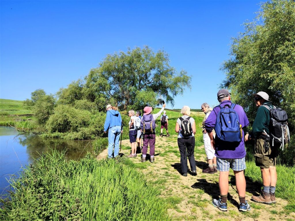
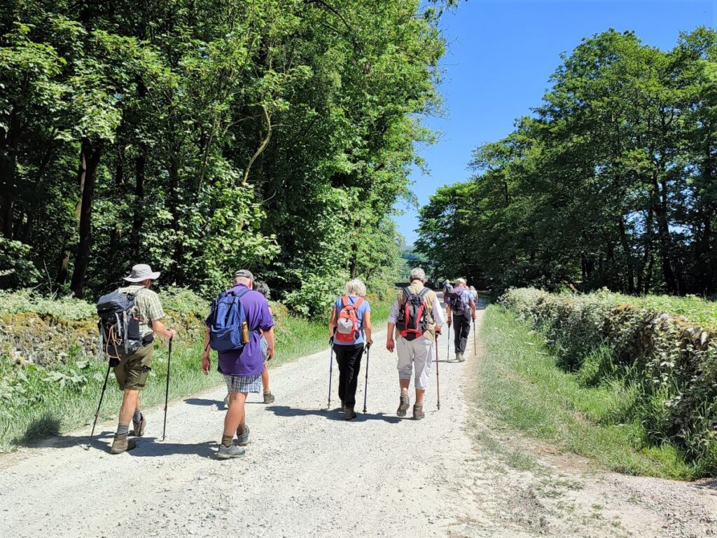
Bentham Footpath Group considers the Yorkshire Dales, the Forest of Bowland and the South Lakes to be our home territory, and we often venture further afield during the summer months when the days are longer.
However, it’s nice to remind ourselves just how beautiful the countryside on our own doorstep is, and to make the most of the flatter land in the flood plain of the Ribble Valley.
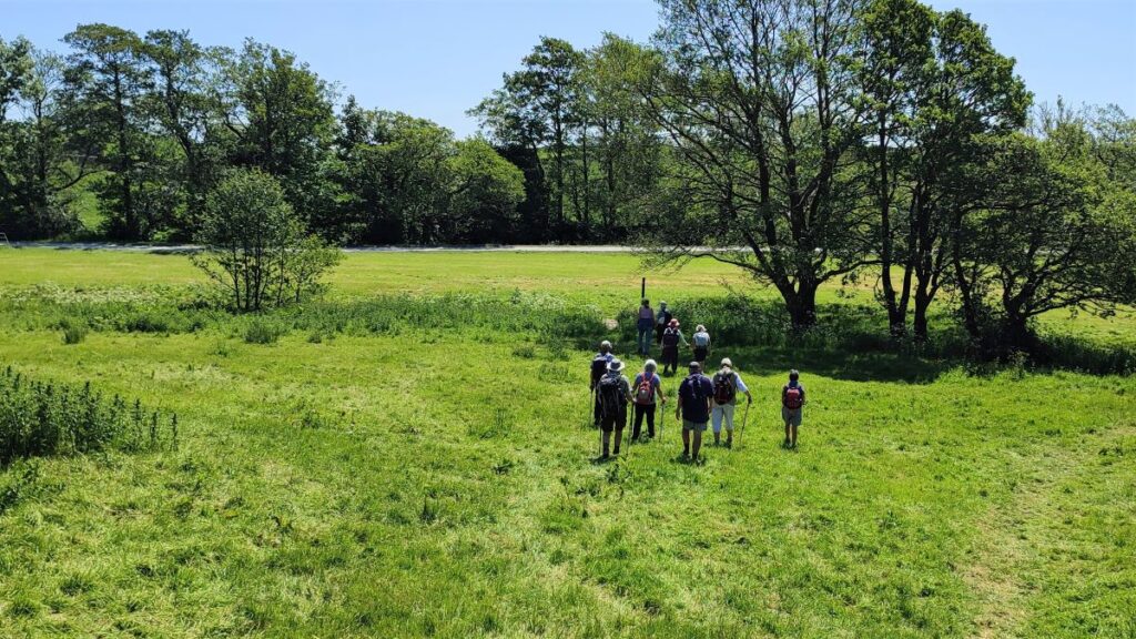
This easy walk loops out from Wigglesworth to the curiously named Hard Head Farm, then over to Cappleside before picking up the Ribble Way to return through the Long Preston Flood Plain Project, Cow Bridge and then via gentle fields back to Wigglesworth, where there is a very inviting pub.
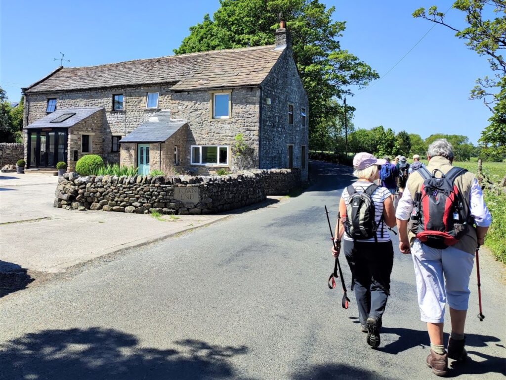
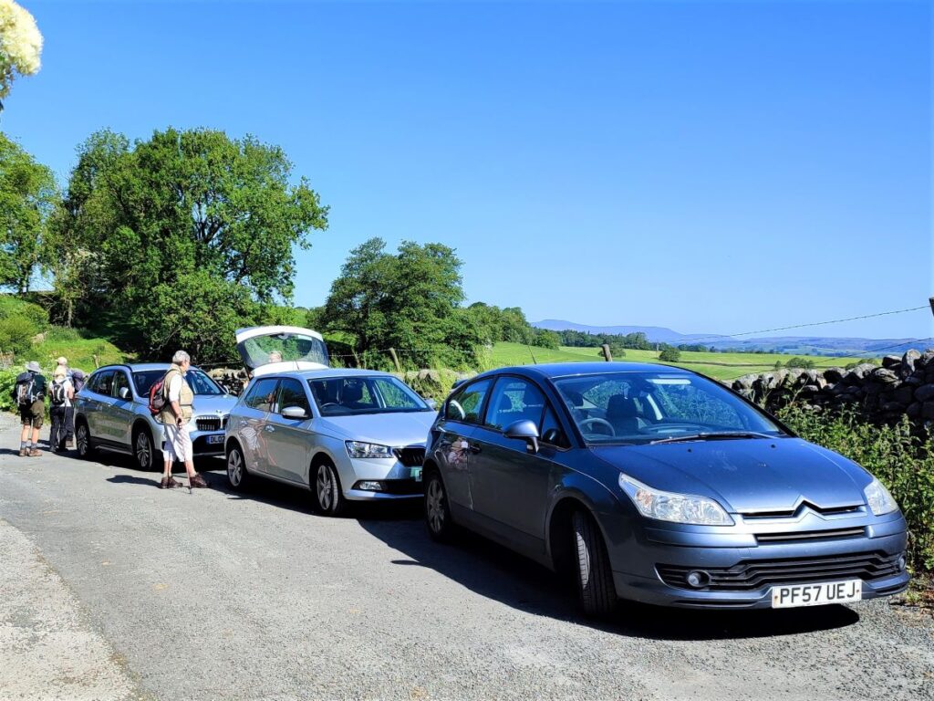
We start in Wigglesworth, and on this occasion, we used the layby on Jack Lane, just to the North of the village on the Rathmell road. There is also roadside parking in the village, and if you combine this walk with a visit to the pub, then using their car park would be an option. If you are using a paper map, then the layby is at grid reference SD80975710, and if you use Satnav, the address Jack Lane Wigglesworth, or postcode BD23 4RJ should work.
If you prefer What-3-Words, then the tag is evaporate.solicitor.outwards.
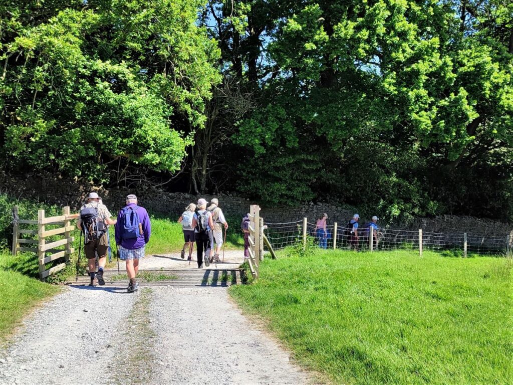
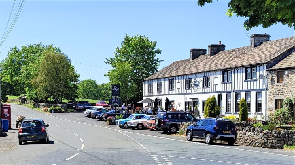
From the parking place, we head slightly uphill and toward the centre of the village, where almost immediately we meet a junction with a small village green. We head right here to walk through the village passing the Plough Inn on our right.
The name of the village, like many in the Dales can be traced back to the Saxons, and in this case is a combination of two words. The Wiggles part of the name relates to wicel, the name of a person, or wincel meaning “of the child” whilst the worth part comes from wory – probably meaning “the place of”.
Wigglesworth was mentioned in the Domesday Book (1086) when part of it was in the Manor of Long Preston and the remainder in Rathmell. Later the Manor belonged to the monks of Fountains Abbey to whom it had been given by William, son of Godfrey de Neversheim. The ‘estate’ as it came to be known was passed down through generations of families and, during the 18th Century, was owned by the Weddell family who lived at Newby Hall, Near Ripon.
By the end of the 19th Century the Wigglesworth Estate was owned by the Lucas Family which, in 1924, sold off the estate in small lots, with the Plough Inn being one of them. Since then, the village has seen the number of houses increase slightly – there are now around 150 households with a population of 379 at the last census.
For more information about the village, click hereto see the village website.
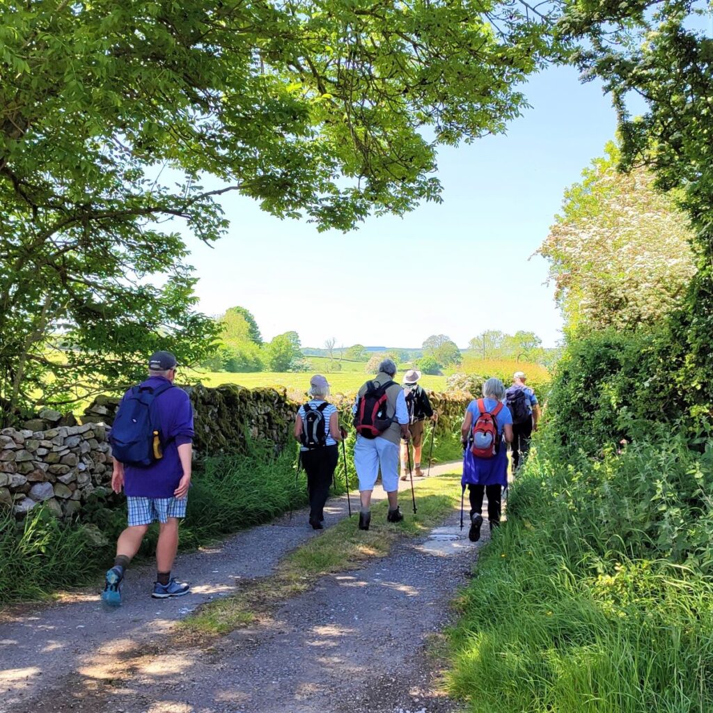
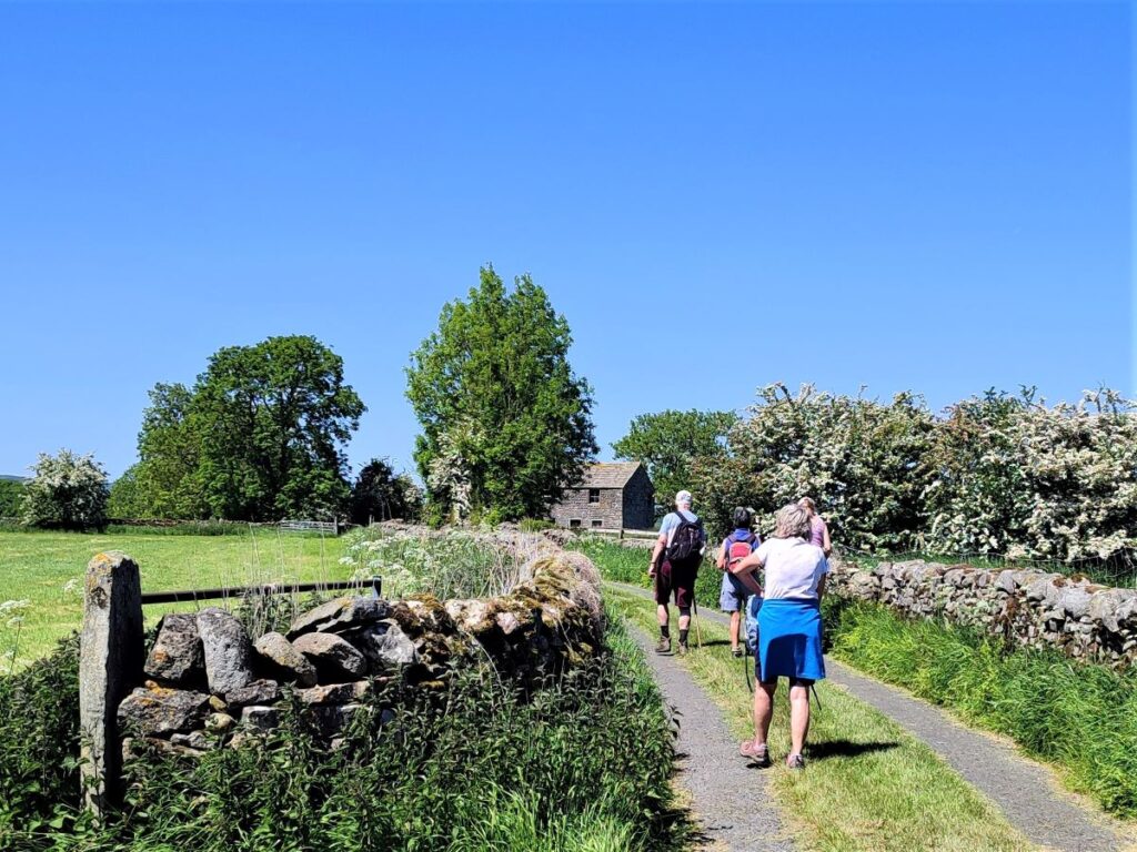
After passing the pub, we stay on the right hand side of the road until we get to the old Post Office, where we find a public footpath leaving the road on the right. We take the path across the fields toward the woodland and then bearing slightly to the left follow down to a footbridge over Wigglesworth Beck.
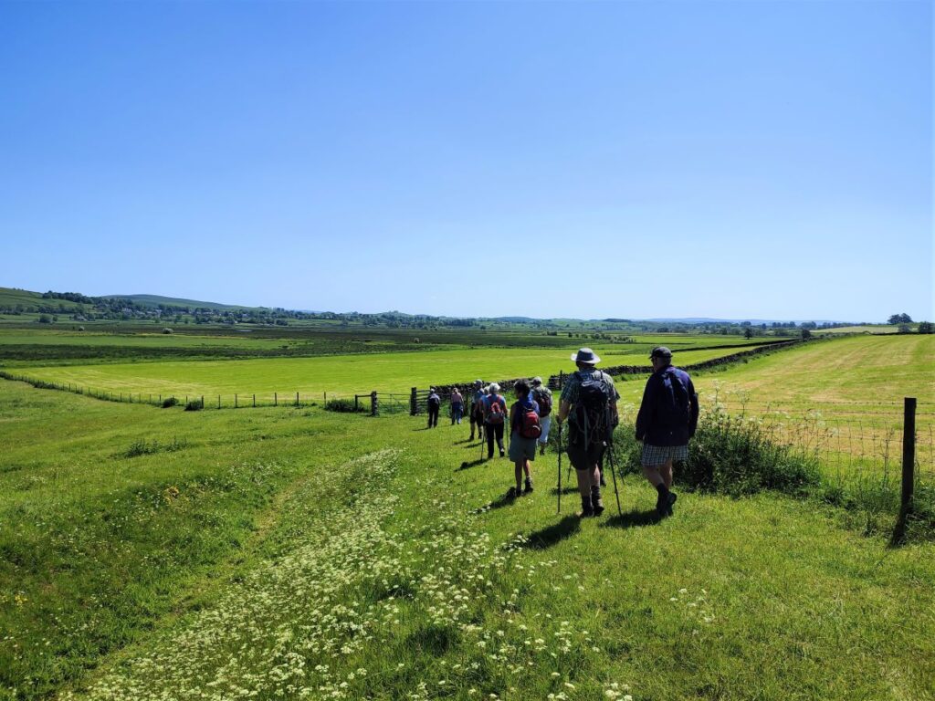
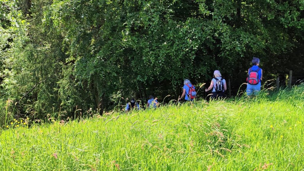
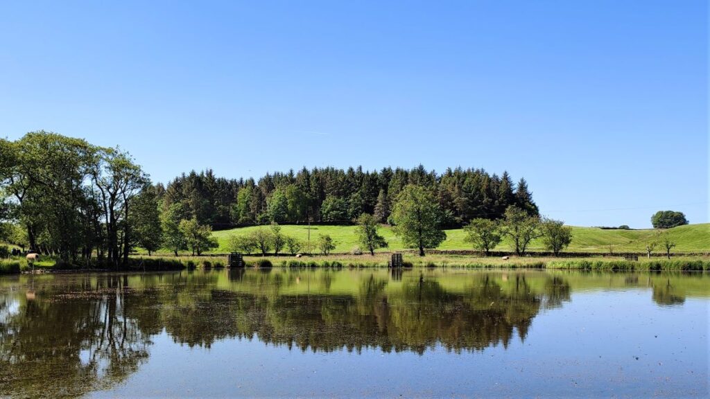
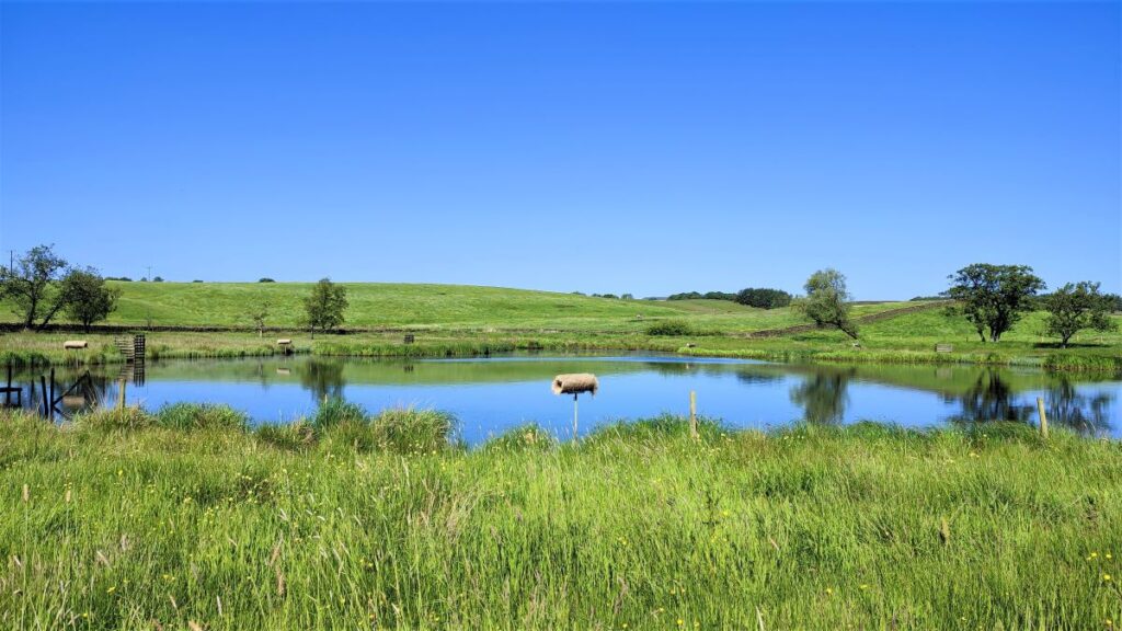
Beyond the bridge, the path heads North – the route is clear and obvious, so navigation should not be a problem. After crossing a couple of field boundaries, we see a large pond ahead – the path skirts the right hand side of the pond before continuing North to a stile in the corner of the next field – this is quite well hidden so just head for the corner of the field under the tree canopy – the stile should then become apparent.
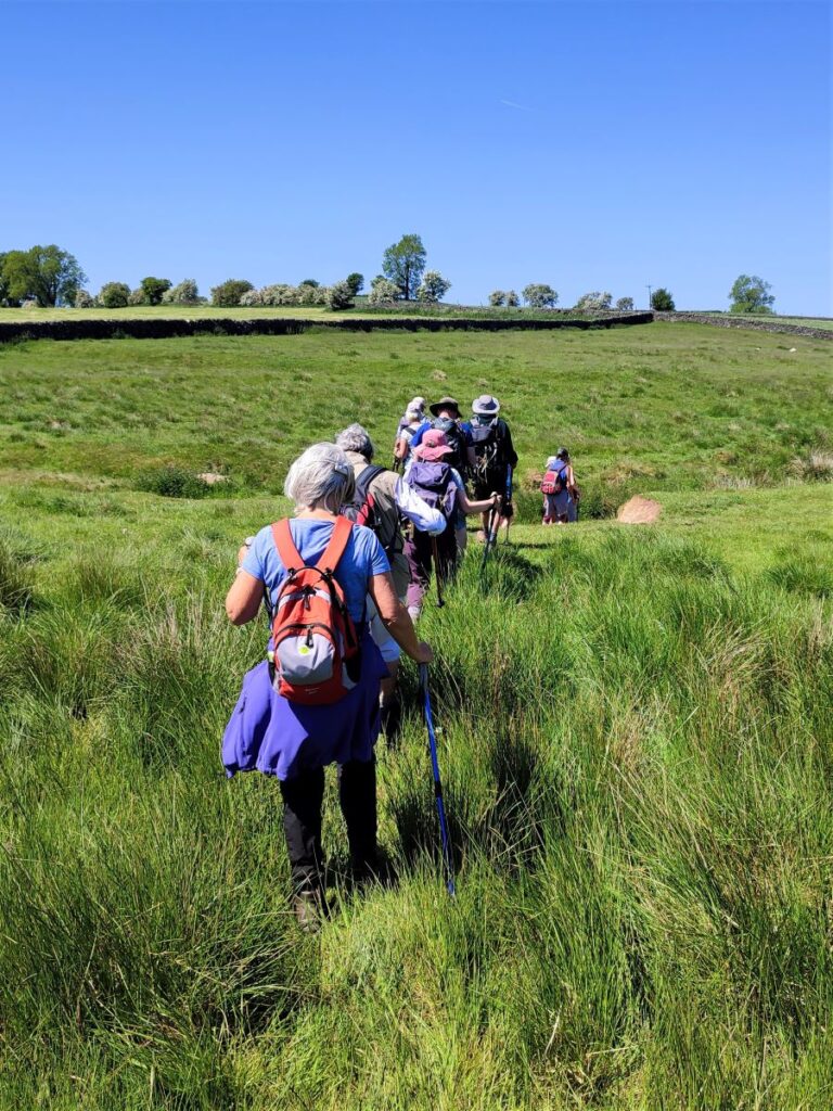
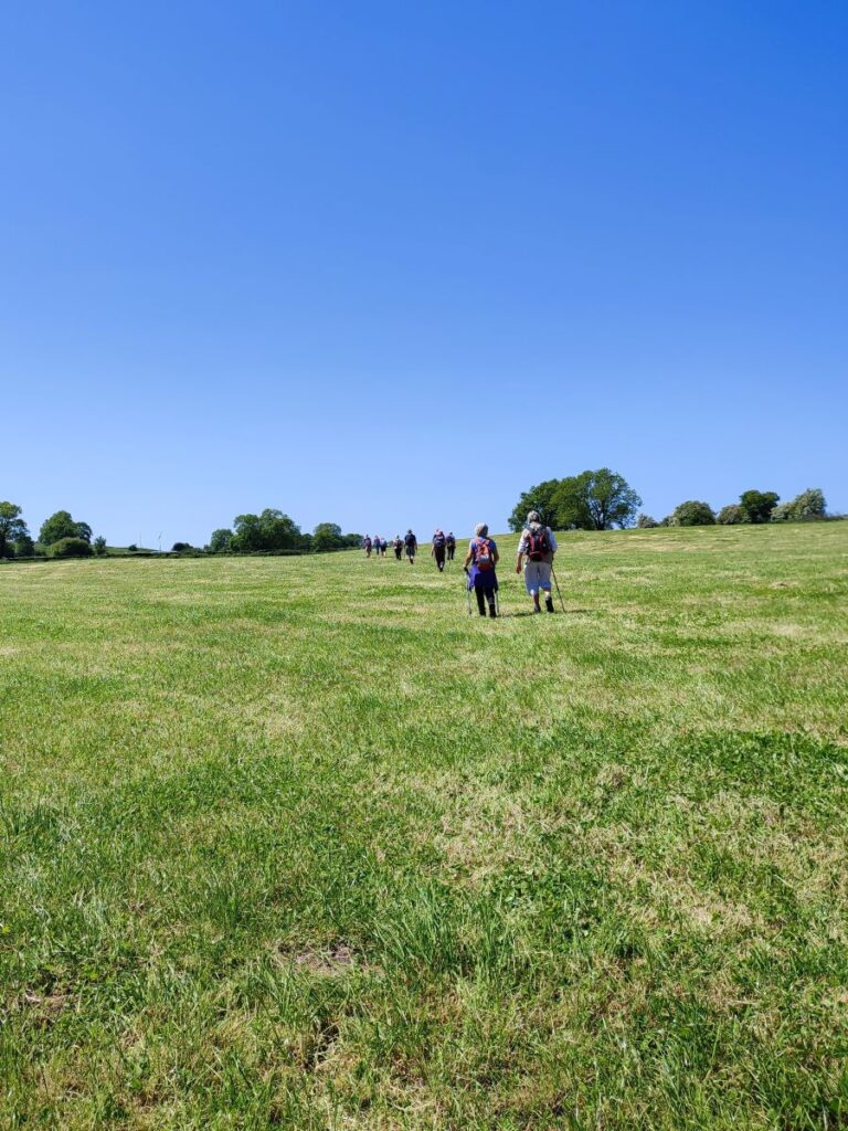
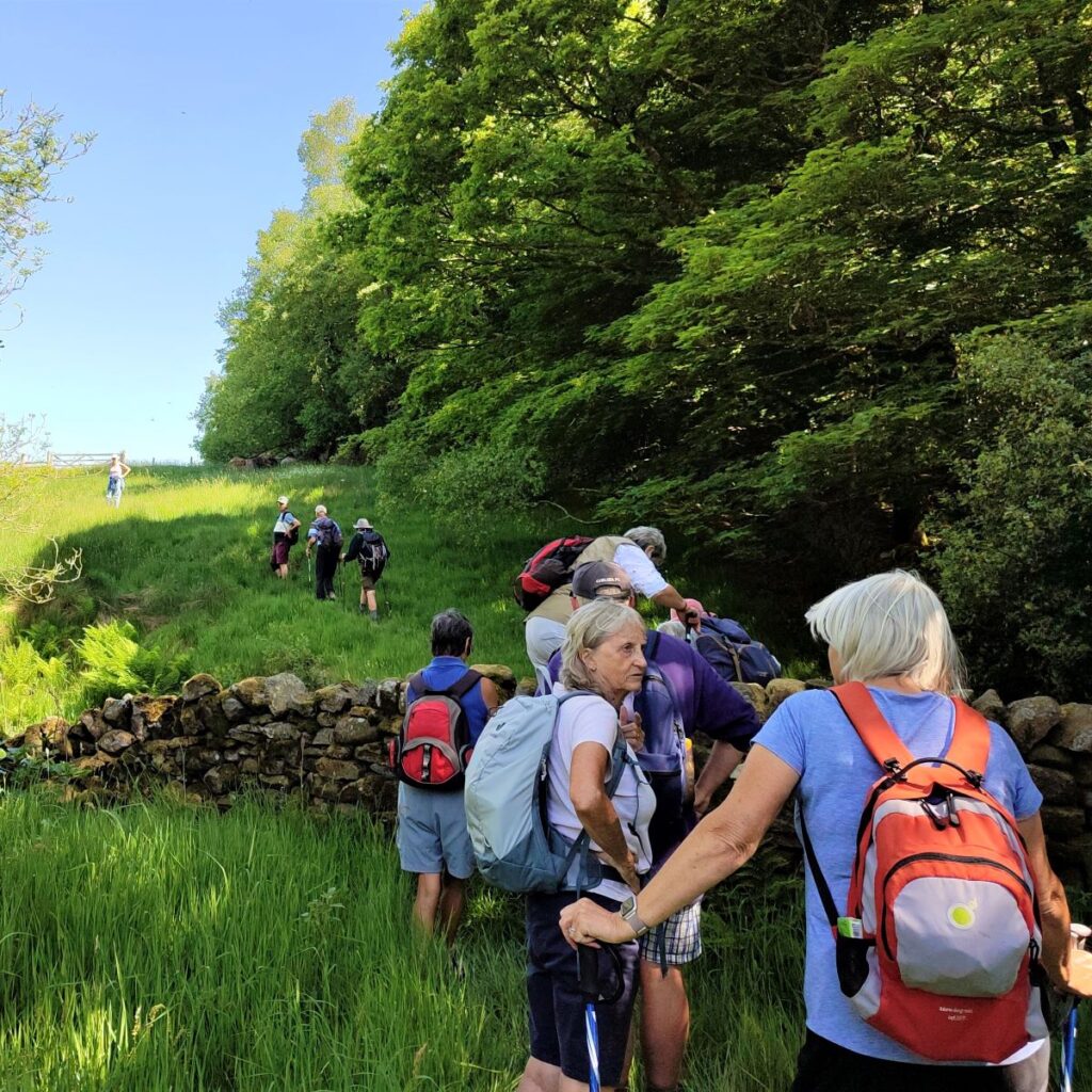
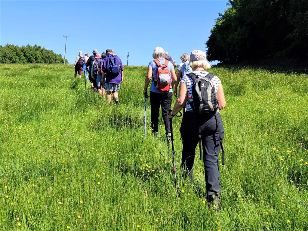
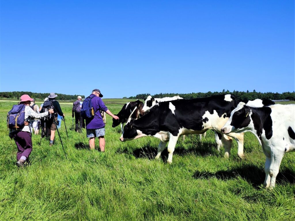
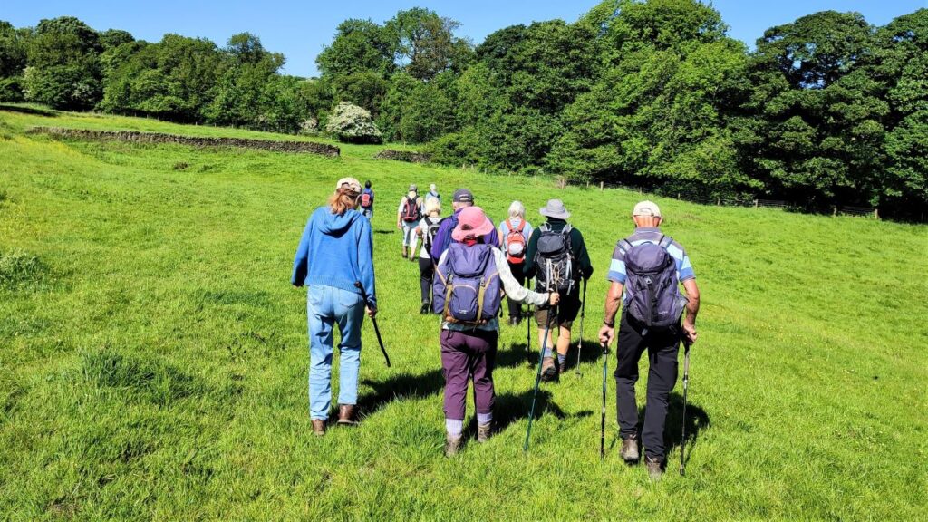
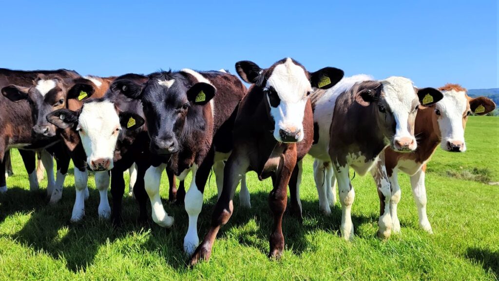
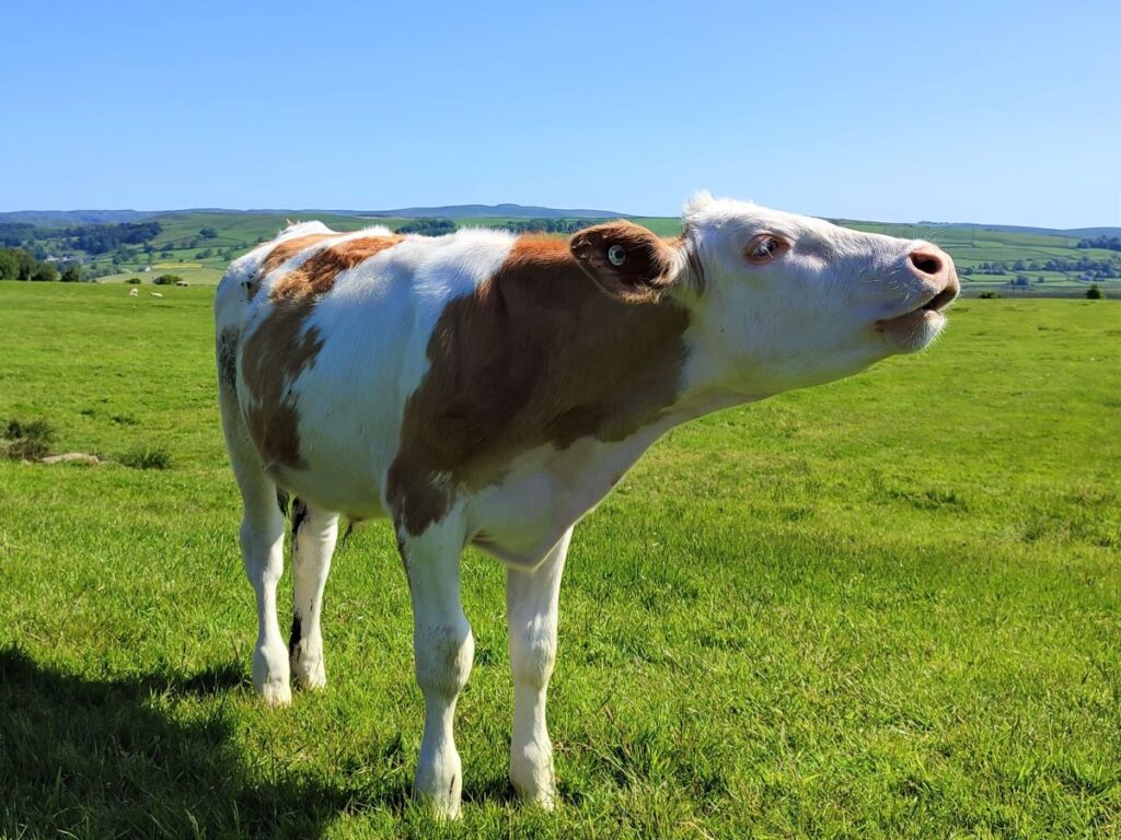
We now cross two more flat fields – it is worth noting that cattle may well be grazing here. We found them to be placid and curious of the walking group, approaching us quite closely. Some may find that close approach intimidating, especially if walking with a dog, so be prepared.
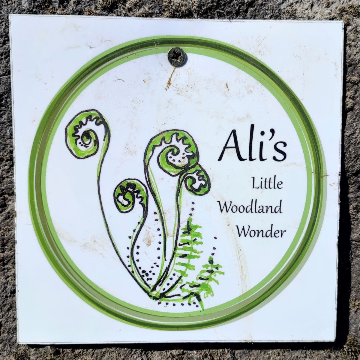
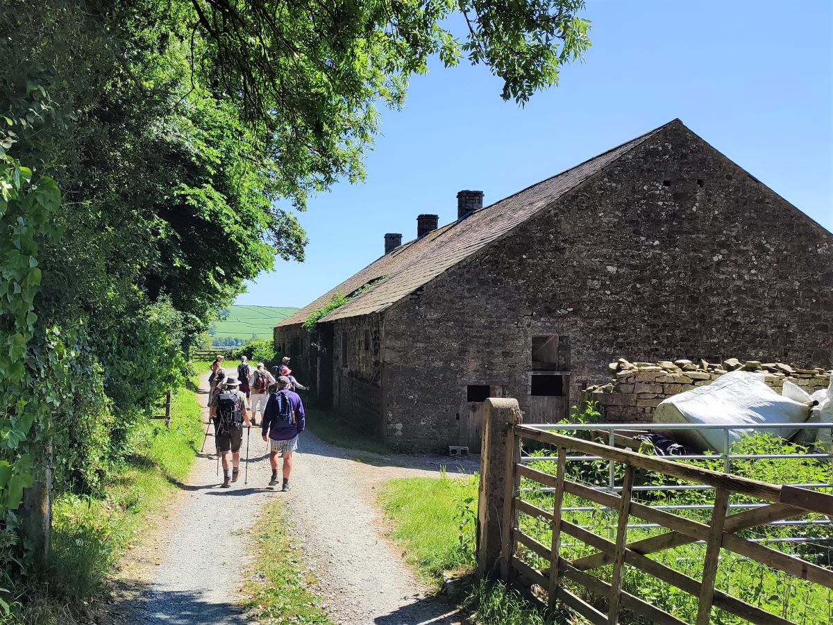
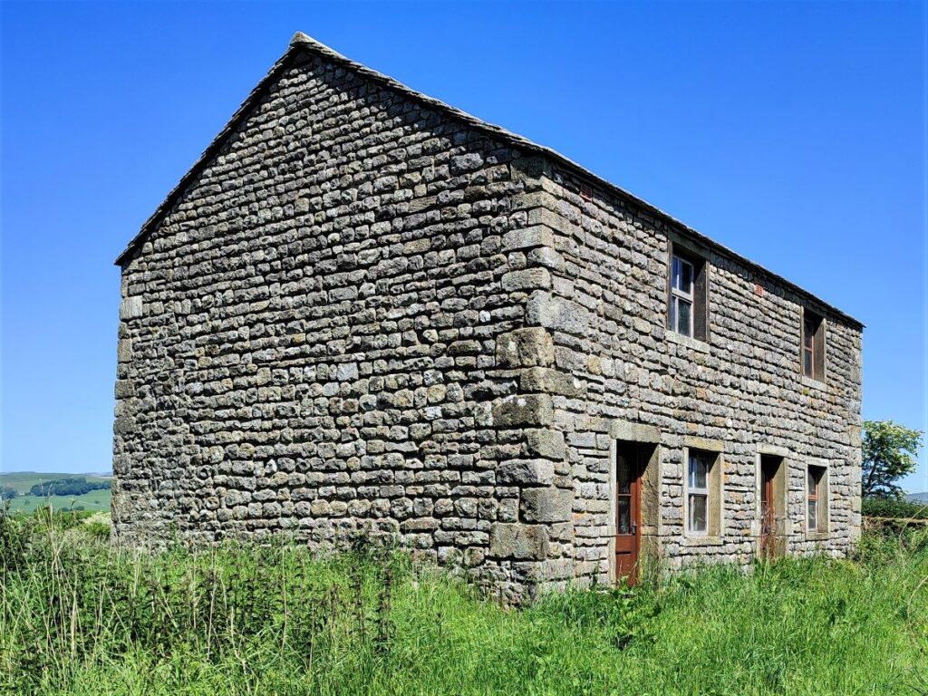
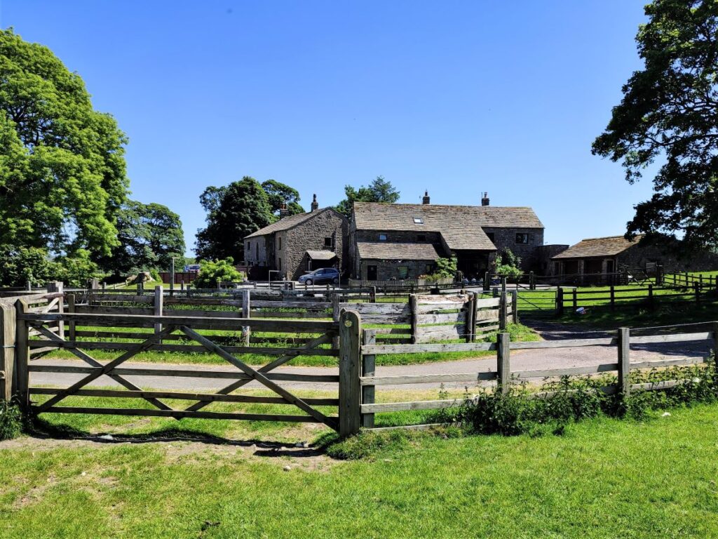
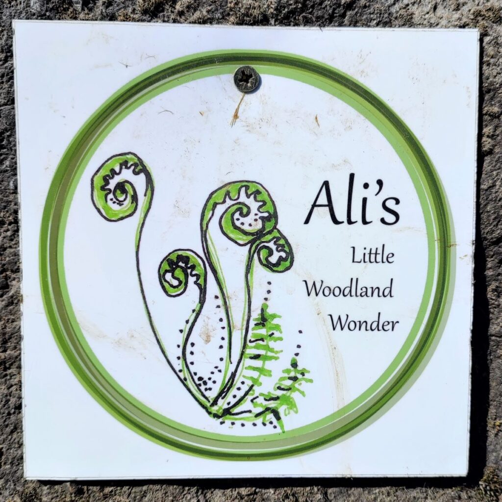
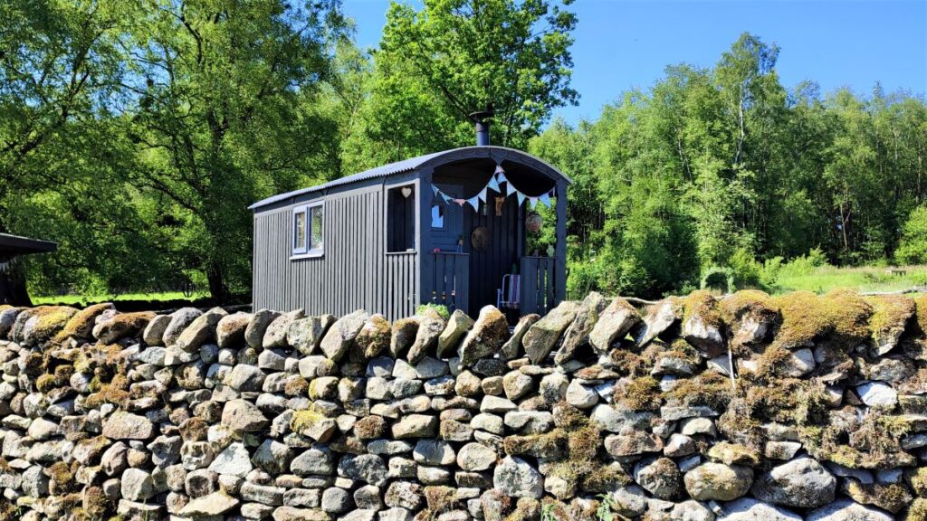
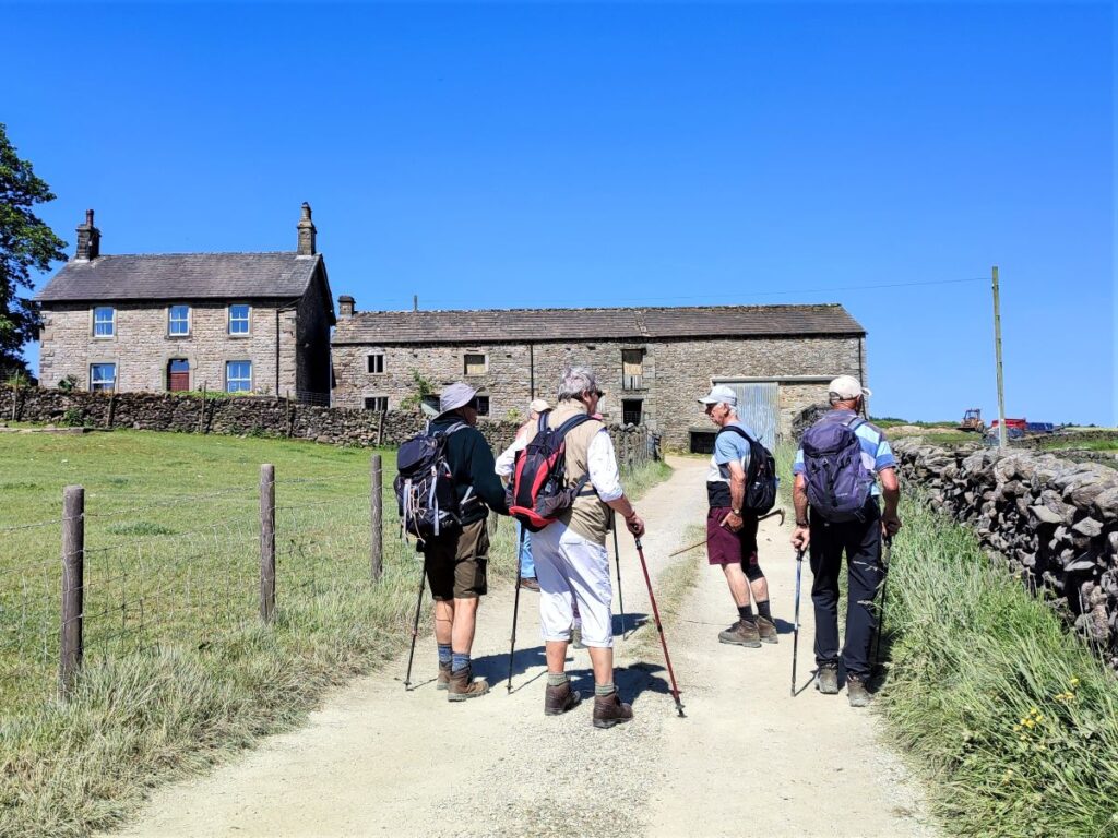
We soon arrive at a farm track and turn left to follow the track for a while. It bends right almost immediately, and we follow it round to Hard Head Plantation where we find a shepherd’s hut set in a clearing at the edge of the woodland, announcing itself as Ali’s Little Woodland Wonder. This is an off-grid eco retreat situated within 12 acres of woodland on a family run 270 acre working farm – which we pass in a minute. For more details click here.
We press on along the farm track and soon see Hard Head Farm ahead of us, and as we approach the farm, we see a gate on the right where the path continues downhill toward the trees growing at the side of Hollow Gill Beck.
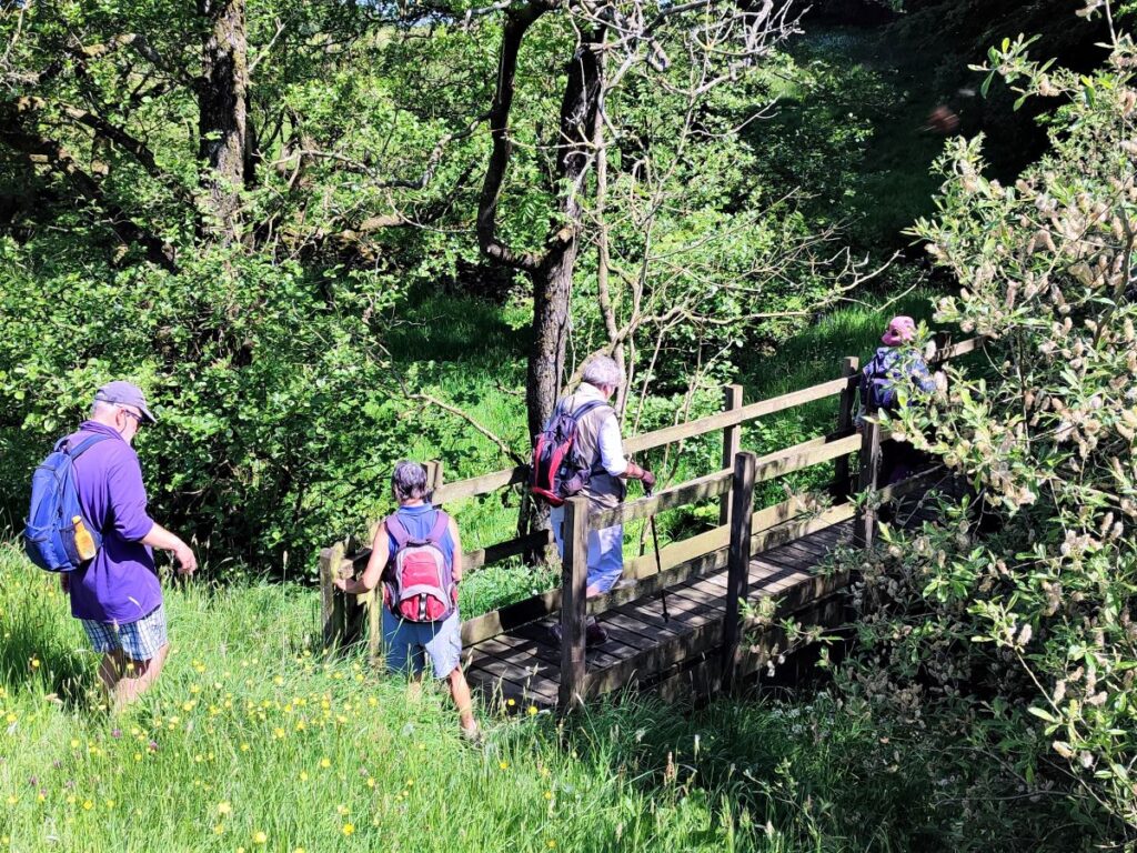
As we follow the path down, we find a footbridge, which takes the path onto a climb up the edge of woodland on the opposite side of this small valley, now heading toward Cappleside.
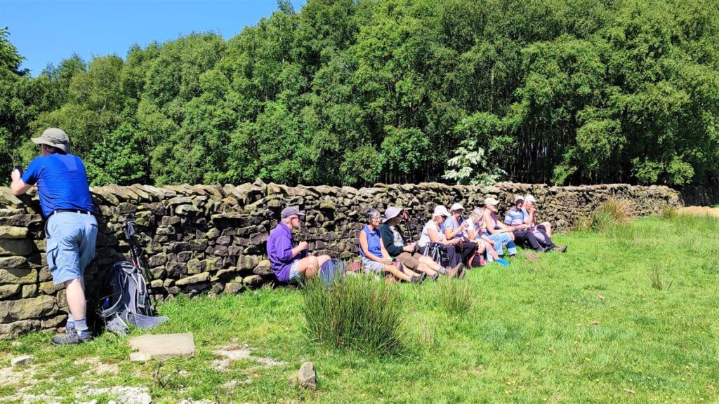
Before we get to Cappleside however, we reach a high point where to our right we find more shepherds huts, and directly ahead a drystone wall that we used to sit against whilst we enjoyed a break.
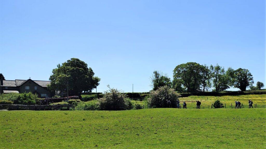
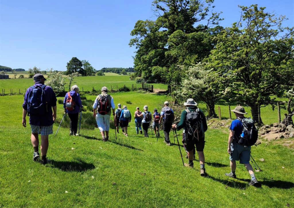
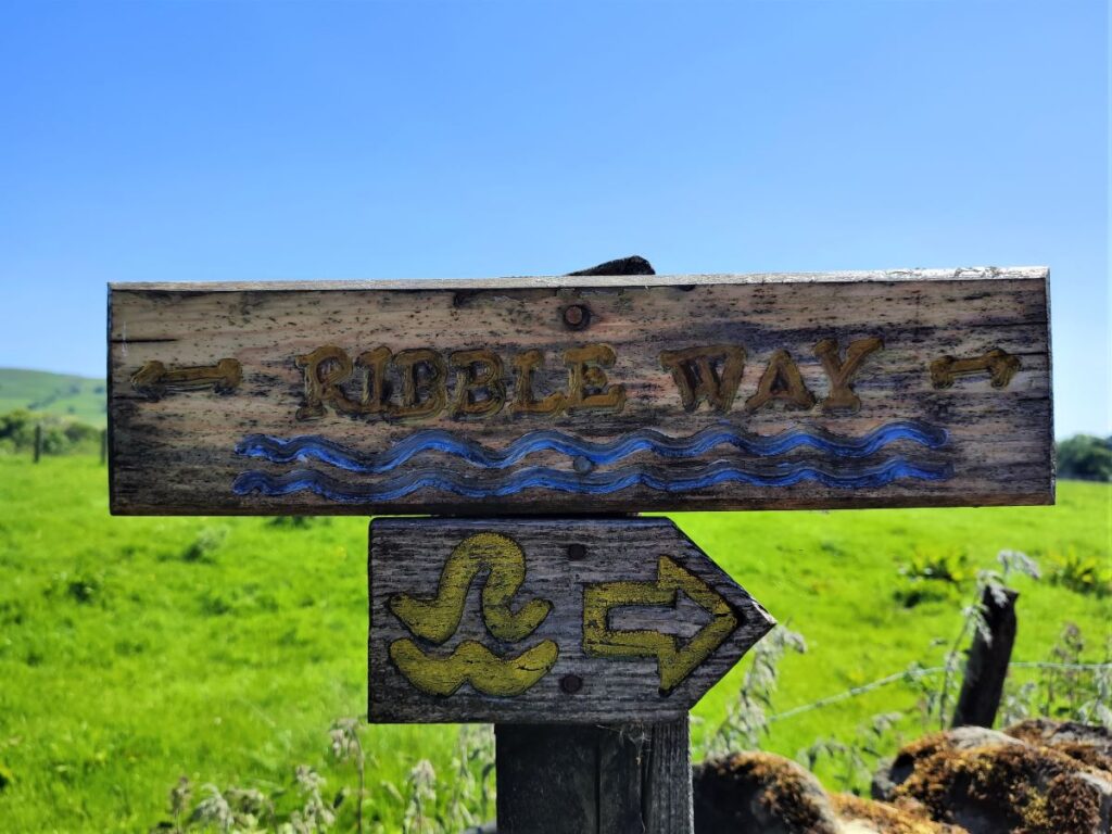
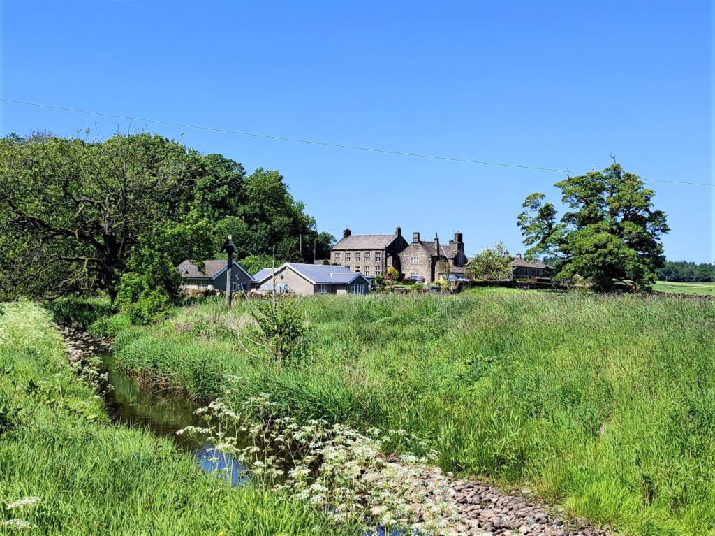
From here, the path heads downhill toward a small terrace of cottages, and beyond that Far Cappleside Farm. We walk to the left of the farm at first and then at the end of the barn turn sharp right, joining the Ribble way to start our return journey.
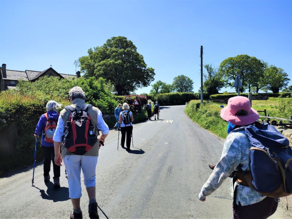
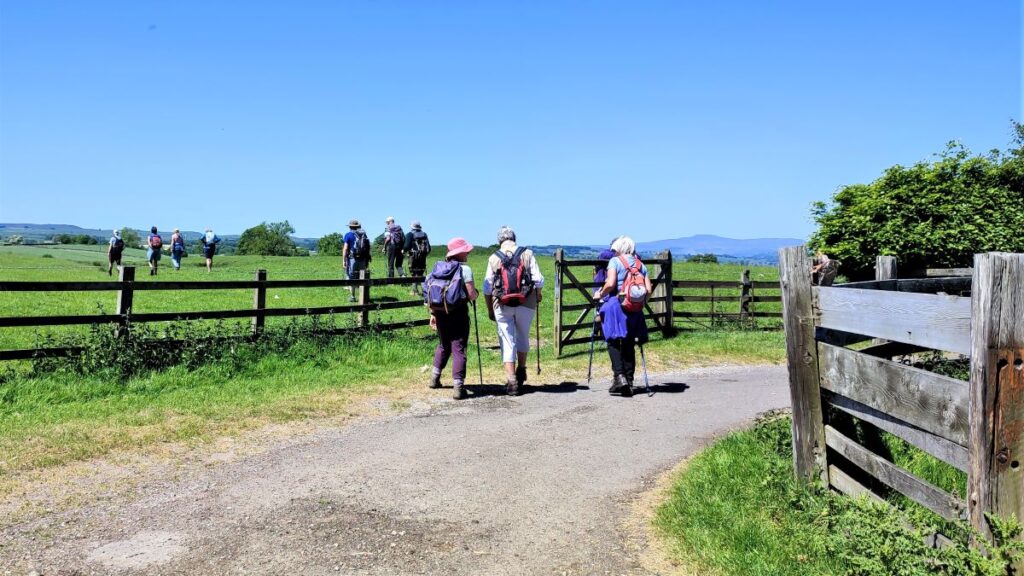
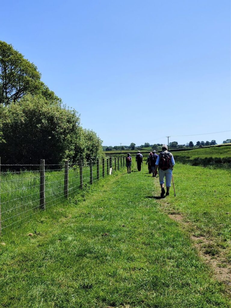
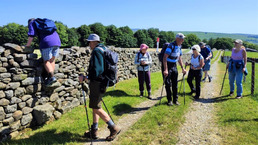
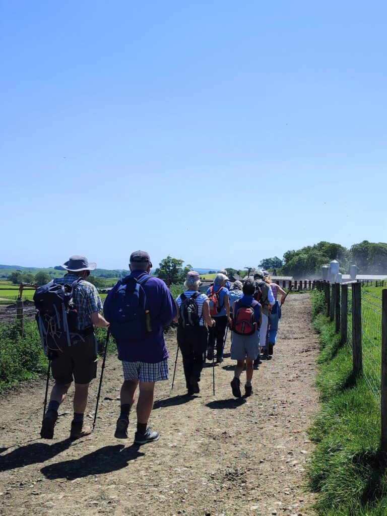
We follow the farm access road down to the road linking Rathmell and Wigglesworth, where we turn right. There is no pavement on the road, so care is needed – however we are not on the road for long, and soon leave at a clearly waymarked path on the left. This takes us onto a farm access track, and its tempting to follow the track. In fact, the right of way is along the fence on the right.
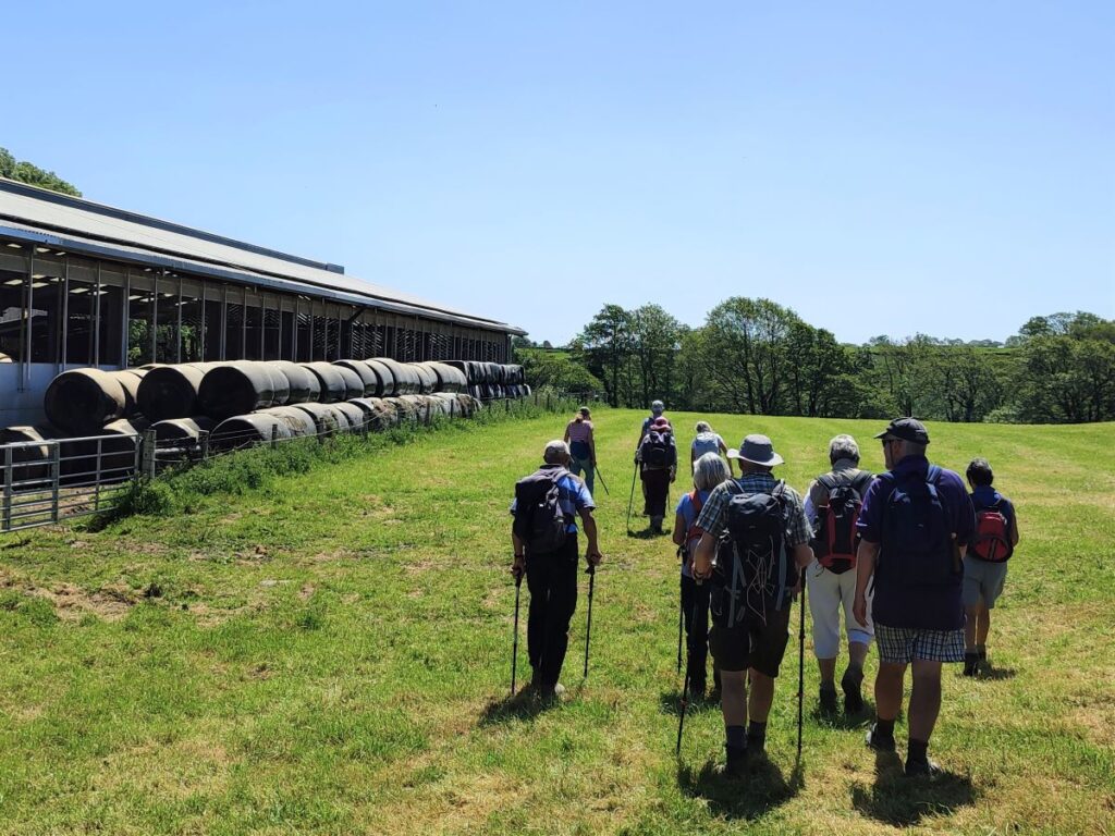
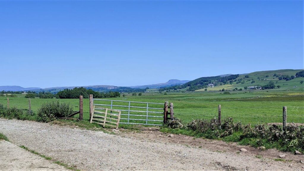
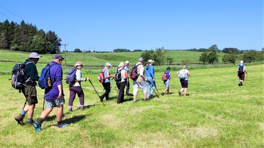
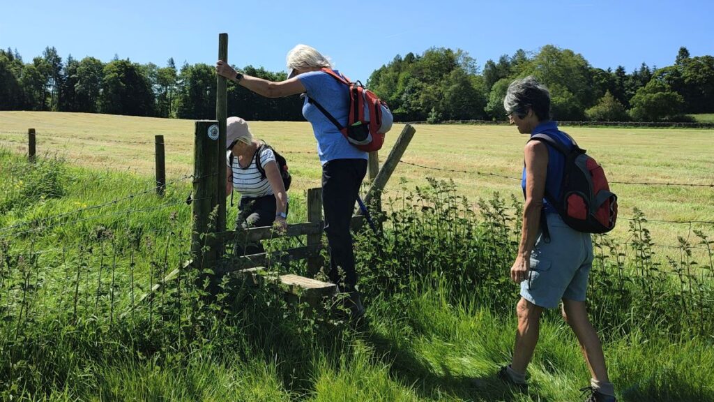
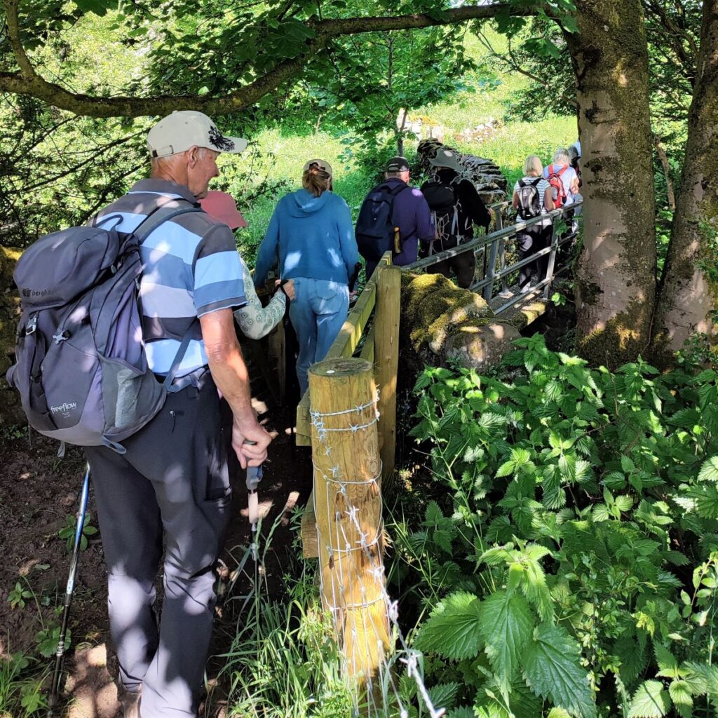
We continue along the fence line, crossing a couple of stiles before we veer right and then down into a valley where we cross the Hollow Gill Beck again on another footbridge. On the far side we scramble uphill – this is the only steep part of the walk, and then head left where the path levels off and heads toward Wigglesworth Hall Farm, with great views over the Ribble Valley toward Settle and Long Preston as we go.
As we approach Wigglesworth Hall Farm, we look for the way marker taking us off the farm track and through fields such that we skirt the right hand side of the farm, noting the 197kW solar array on the cattle sheds – this supplies energy for the farm and the National Grid – a good example of diversification in action.
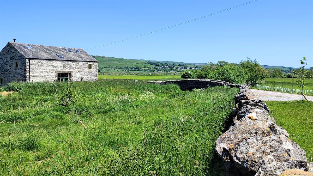
At the end of the farm buildings, we head down to a dusty track where we bear left. This soon meets another lane at a T-junction, and we take a right – if you are in any doubt here, we are heading away from Wigglesworth Hall farm and across a small stone bridge over Wigglesworth Beck.
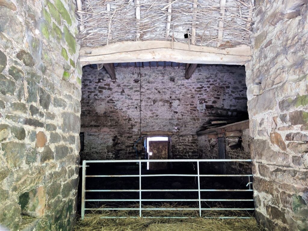
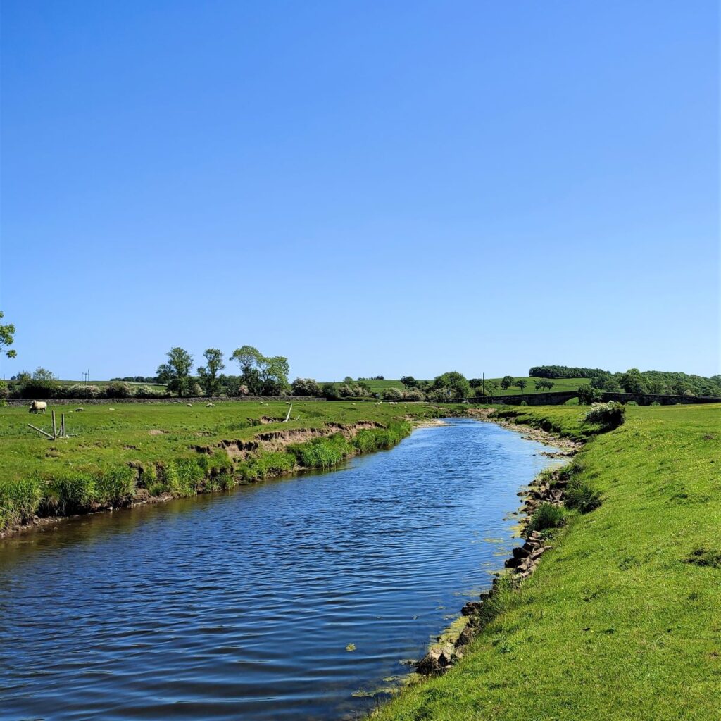
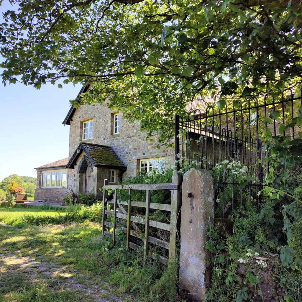
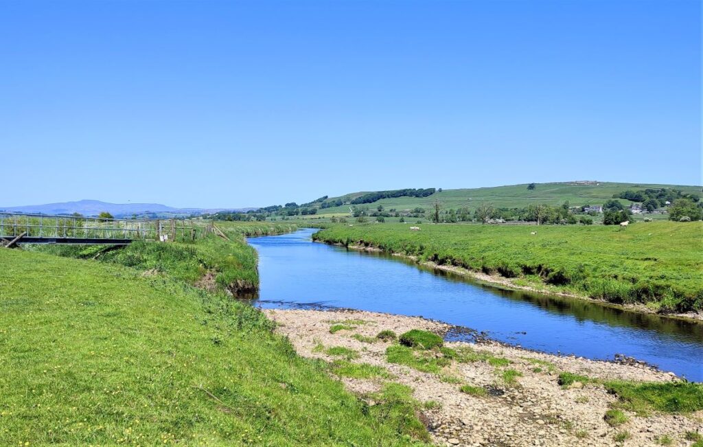
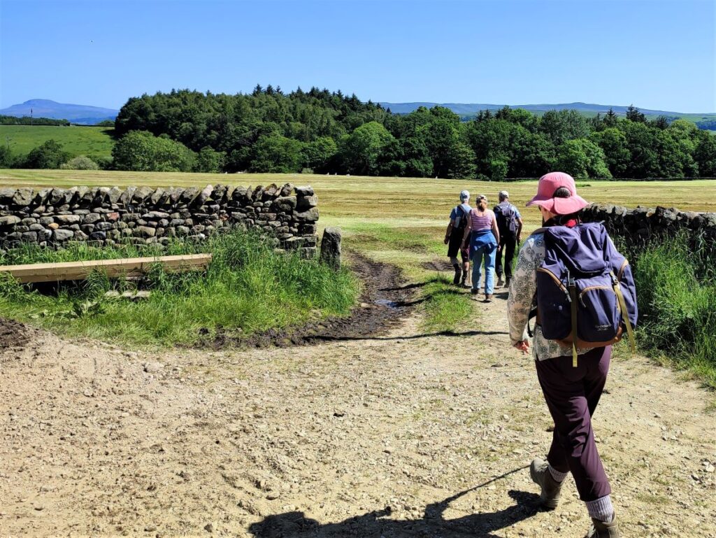
The track now continues to the left heading toward a recently renovated barn at the far side of the beck. The public right of way leaves the track on the right just before the bridge that accesses the barn, and we now continue along the Ribble Way heading toward the river Ribble and the flood plain.
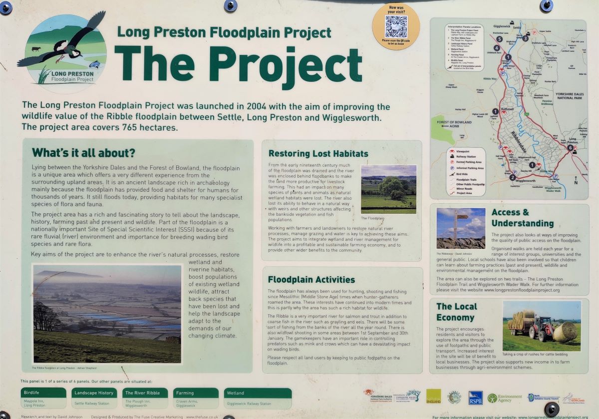
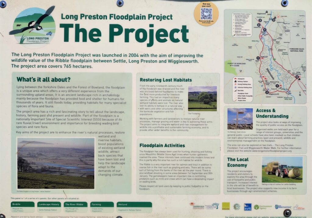
Navigation is easy now – we just follow the path along the side of the Beck until we get to the Ribble. Along the way we come to a bird hide provided as part of the Long Preston Flood Plain Project, a partnership between the RSPB, Natural England, the Environment Agency, the Yorkshire Dales Millennium Trust, North Yorkshire County Council, local landowners and the Yorkshire Dales National Park Authority.
The Long Preston Floodplain Project was launched in 2004 with the aim of improving the wildlife value of the Ribble floodplain between Settle, Long Preston and Wigglesworth. The project area covers 765 hectares and has been of huge benefit to the ecosystem. As well as the interpretation board that our walk passes, there are five others dotted around the site, and an excellent website explains the context of the whole site – click hereto see it.
Also available via the website is a pdf detailing other walks in the area.
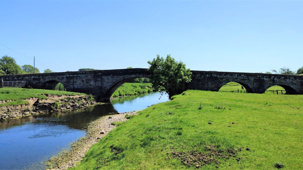
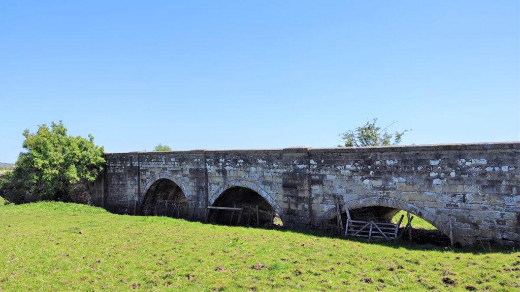
Once we meet the Ribble, we continue along the Ribble Way heading downstream along the riverbank toward Cow Bridge – a late 18th century stone arched bridge which is grade II listed.
At the bridge the footpath returns to the road via a stile at the top of the field and we head right on the road before taking a left onto a minor lane almost immediately.
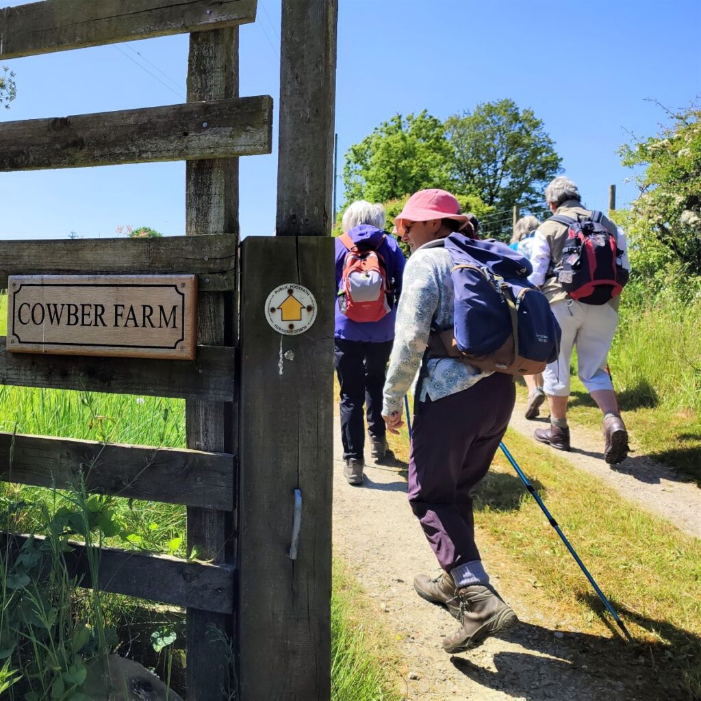
We follow the lane for just a few metres until we see a way marker on the right at the access track to Cowber Farm. This takes us toward the farm, with the path passing to the left of the farm buildings, before heading South toward a cluster of buildings at Sandholme.
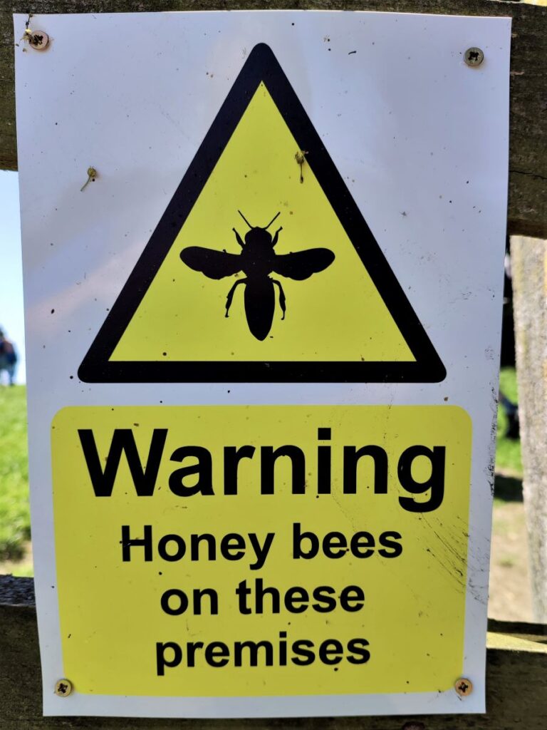
Here we are faced with an unusual sign – one warning us of bees, as there are a number of beehives situated here. We follow the path round to the left of the houses and then through a pair of gates to meet the access road.
The path continues almost opposite, and we now continue across fields heading West toward Wigglesworth. On the day that the group completed the walk, the ground was firm and dry, but you should be aware that these final two fields before we arrive back on surfaced lanes can be quite boggy in wet conditions.
After crossing two fields, we arrive at an unclassified lane and head right, following it down to Church Lane at Wigglesworth where we turn left. From there it’s just a short walk back to the village centre to find the cars (or enjoy a pint).