Jump to . . .Step by Step | OS Map | Downloads | Gallery | Fly through
Bentham Footpath Group has started walks from Keld before – it’s at the top end of Swaledale. On the last occasion – in November 2022 – we headed up to Whitsundale, seeing the rivers that merge to form the Swale in full flow.
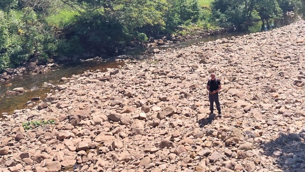
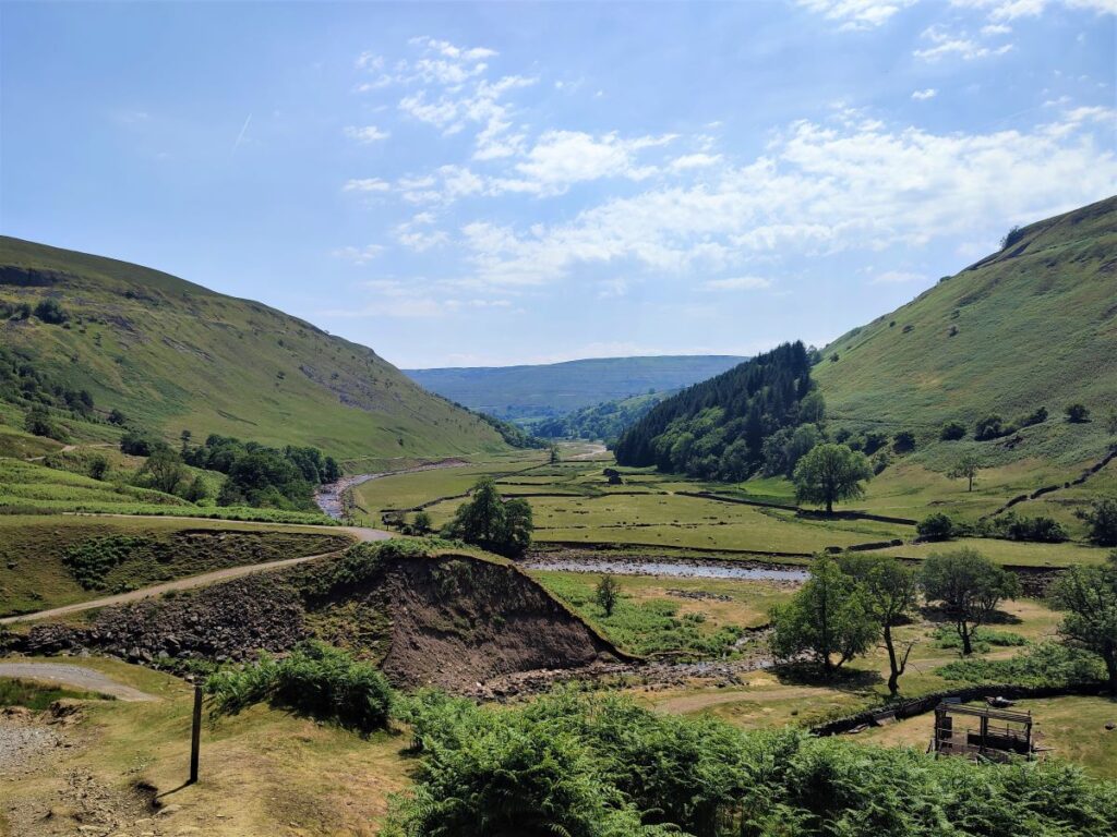
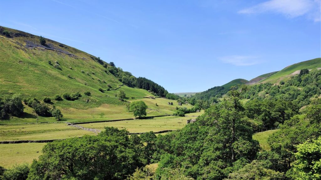
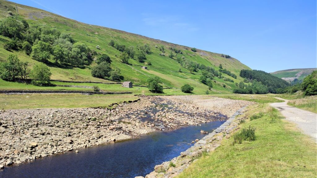
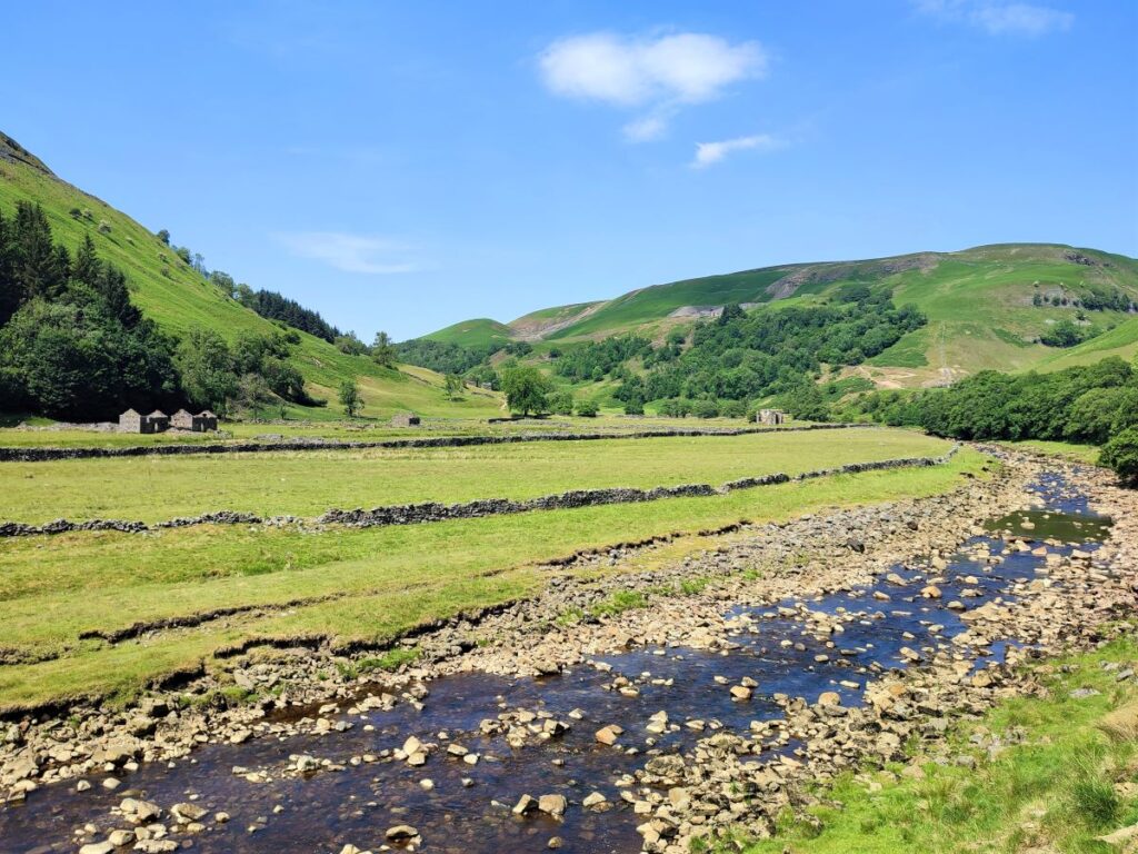
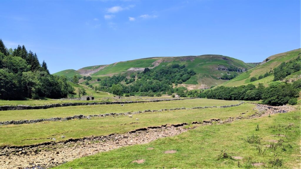
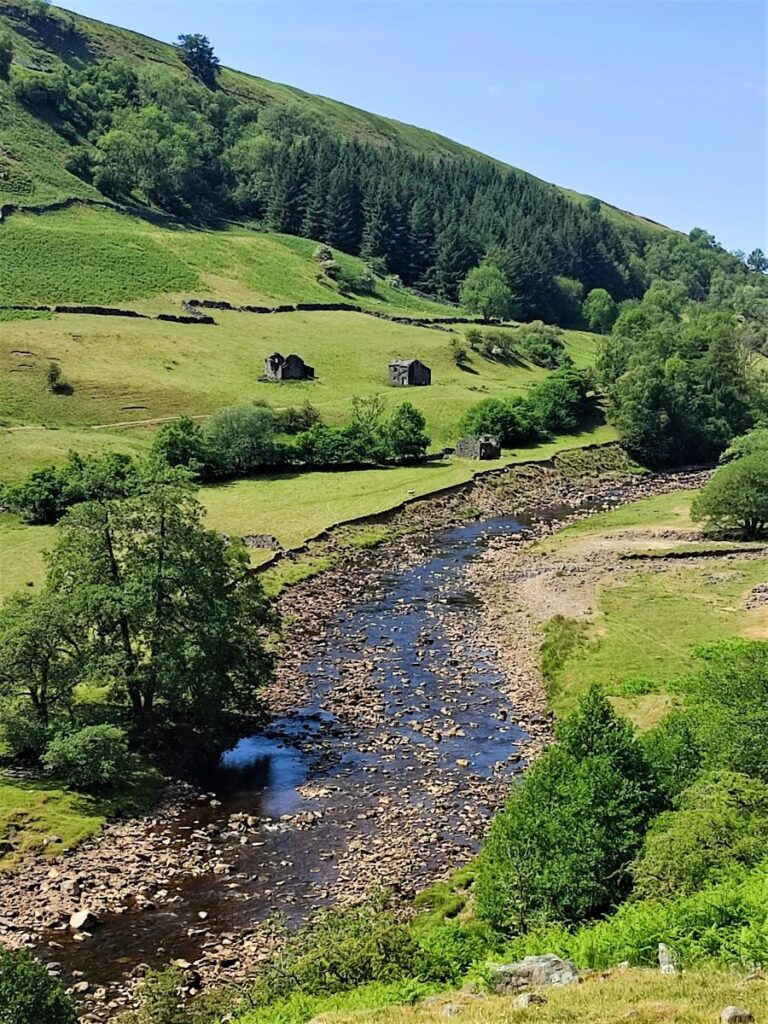
This slightly gentler summer walk takes us downstream to Muker via the Pennine Way, where having explored the village a little we walk through the ever popular wildflower meadows before returning on the far side of the river via Swinner Gill then Crackpot Hall and finally East Stonesdale waterfalls. You will notice from the gallery that the Swale was barely a trickle after a prolonged dry spell – such a contrast to our last visit.
- Total distance 11.2 km (6.9 miles)
- Total ascent 408 m
- Easy walk
Step-by-Step

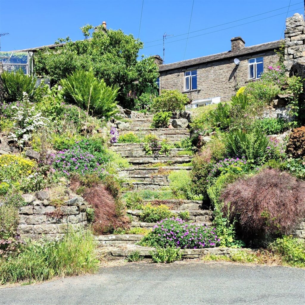
We start at Keld, which is on the B6270 between Reeth and Kirby Stephen, although if you are travelling from Bentham (and you should be), the best route is via Hawes and then the Butter Tubs Pass.
From the B6270, look for signs that say “Keld Only” and follow the road down into this small and very attractive village. As you approach what appears to be a dead end you will find parking – and toilets – on the left at Park Lodge farm – where an honesty box system is in operation.
Satnav users can enter the postcode of the camp site behind the car park – DL11 6LJ. If you prefer paper maps the grid reference is SD66566936, and for fans of what-3words, the tag for the car park is troll.fail.strongly.
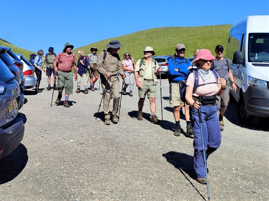
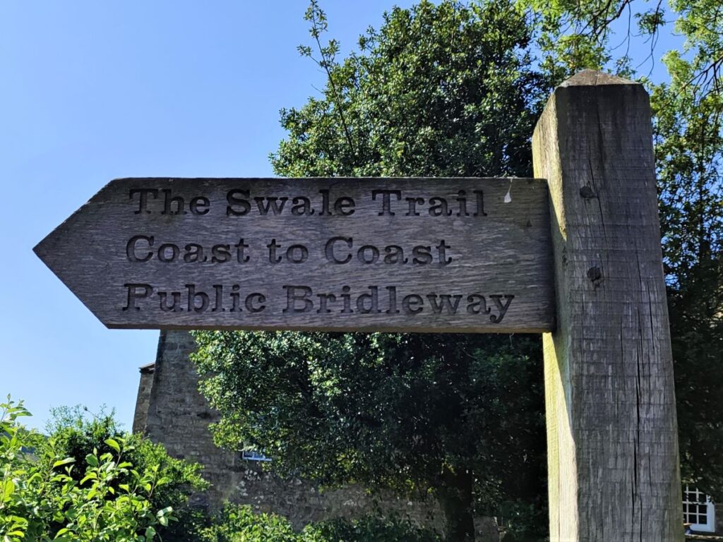
Having paid for parking, we set off back past the cottages we passed on the way into the car park to head downstream along the Swale with the River on our left at this point. Initially, we are on a well-made track and the route is clearly way marked as Swale Trail and Coast to Coast bridleways.

Ahead we see an information board giving interesting information about Keld – the name derives from the Viking word Kelda meaning a spring and the village was historically called Appletre Kelde – meaning the spring near the apple trees. Springs are a key feature of Swaledale, although we saw very little of them after weeks of dry weather.
Despite its isolated location, Keld was once an important centre for lead mining and its population is believed to have been as high as 6,000 during the mid-19th century. Today, though, it is no more than 100. Looking at the village today, it hard to imagine 60 times as many people living and working here.
Easily accessible from Keld – and highlighted on the information board are four waterfalls: Kisdon Force to the south drops 10 metres and is surrounded by Kisdon Force Woods, which has been designated as a Site of Special Scientific Interest due to its flora and fauna. We don’t pass it directly on this walk, but a quick visit could easily be added either at the start or end.
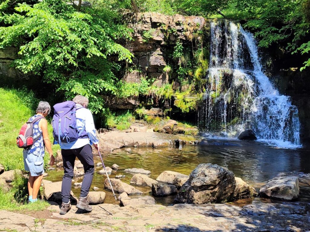
East Gill Force is less dramatic but well worth visiting – and it is part of this walk, while Wain Wath Force and Catrake Force further upstream are popular spots for white water rafters. Again, these could be added to this walk without too much additional challenge.
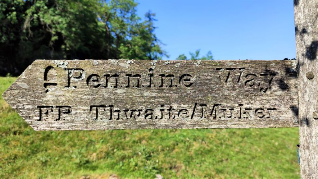
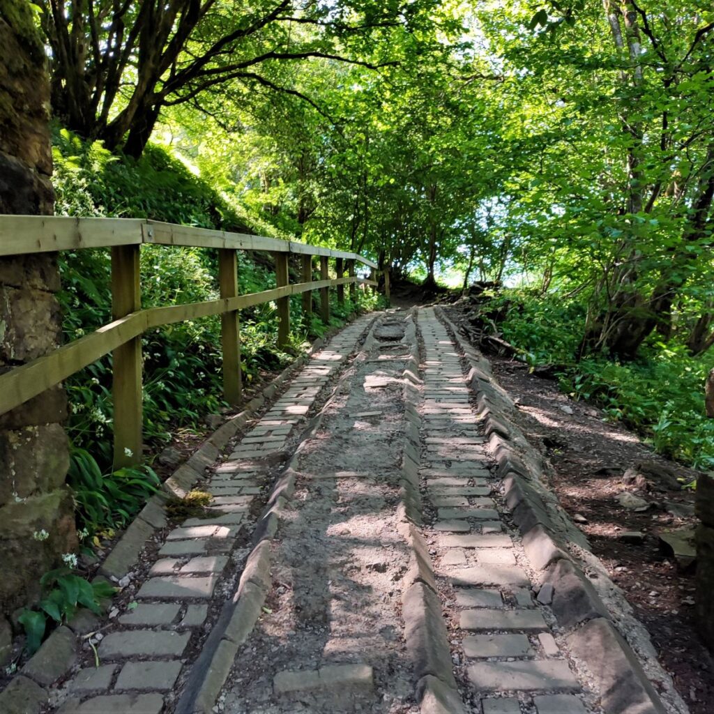
As we follow the track down toward the Swale, we see a steep roadway with a staircase built into the midline between cart tracks. This is part of our return route, but despite it being so tempting, we leave that until later and head up the track on the right keeping the drystone wall on our right hand side – we are now on the Pennine Way.
The next landmark is a clear, but unsigned split in the path. The Pennine way heads uphill and to the right, whilst the smaller path to the left heads down to Kisdon Force – feel free to add that diversion to the walk, before returning to the Pennine Way path.
Very soon the path forks again, although this time it is signed. We again take the higher, right hand option, which is the Pennine Way – the lower route follows the Swale downstream through flat meadows and does go to Muker, so if you wanted a gentler version of this walk feel free go that way.
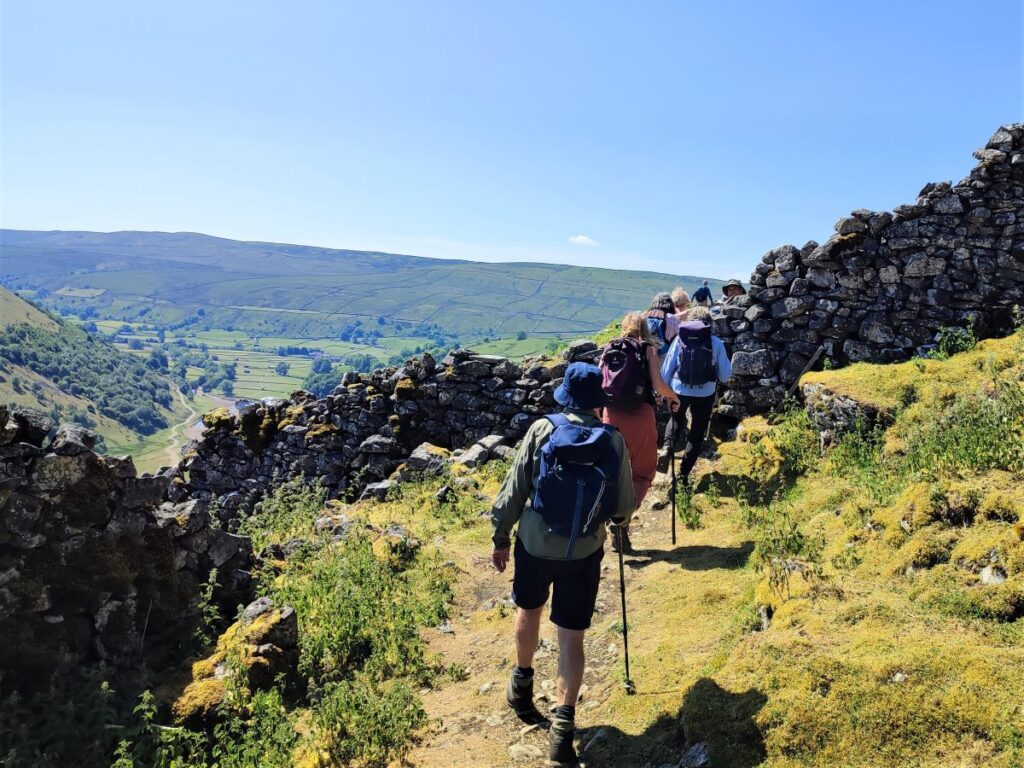
Our route now climbs quite significantly and goes above the woodland that hugs the side of Kisdon Hill – known as Rukin Wood. At the end of the woodland, we arrive at a drystone wall and cross into more open land, turning left at the signpost to follow the contours around the side of Kisdon Hill heading Southeast.
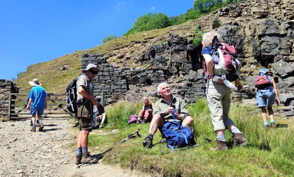
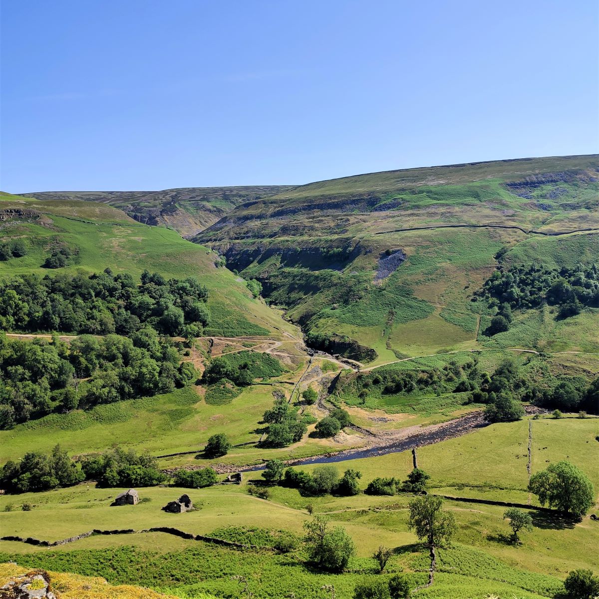
From here we have great views across the valley to two locations we visit later in the walk: Swinner Gill, and the spoil from the lead mining industries that were once so important in Swaledale, and further to the left, the remains of Crackpot Hall.
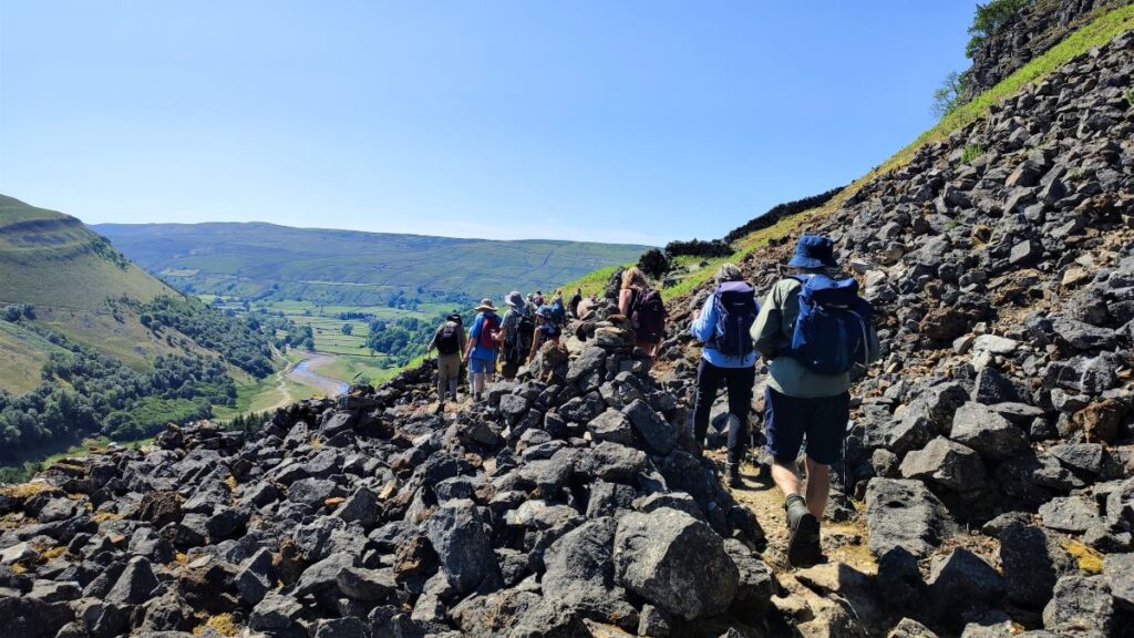
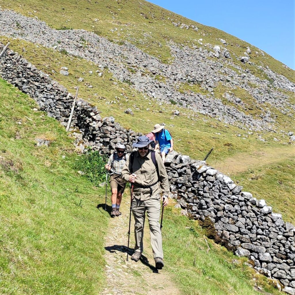
The Pennine Way path continues to climb as it comes round Kisdon Hill, and we find ourselves heading South through slightly difficult rocky terrain that is largely the spoil from lead mining – we are on what is referred to as the North Gang Scar.

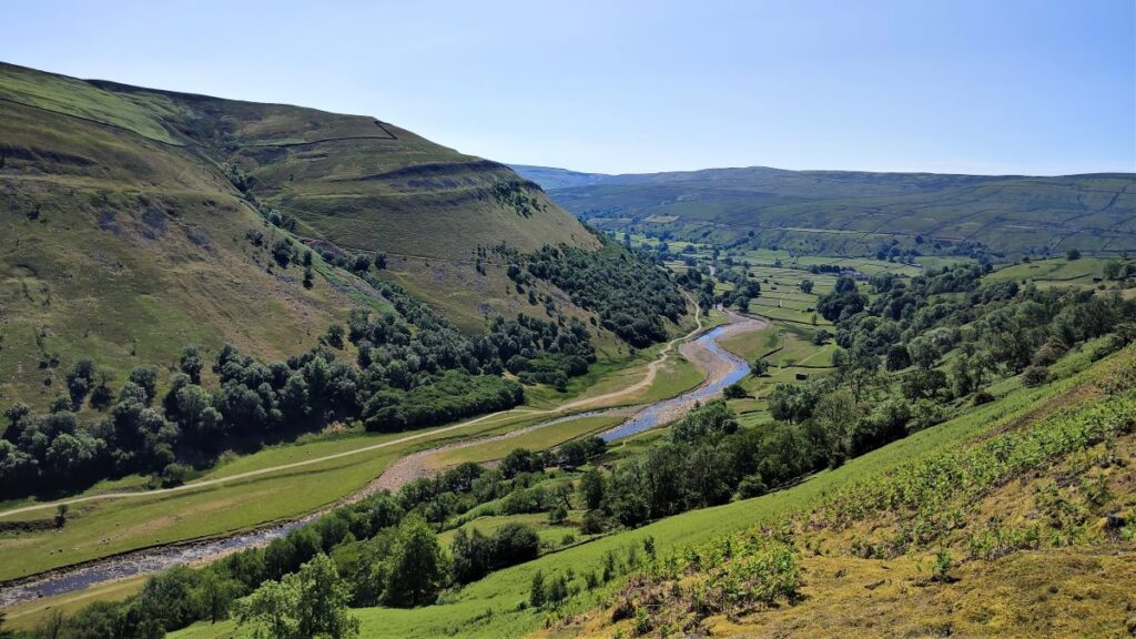
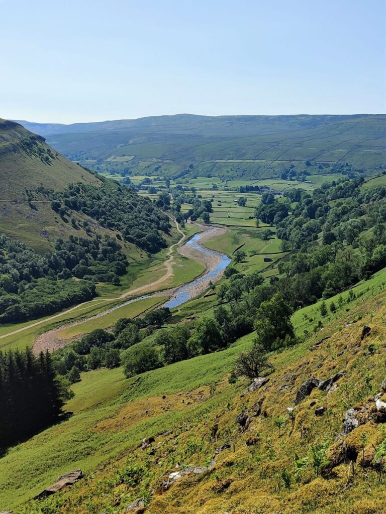
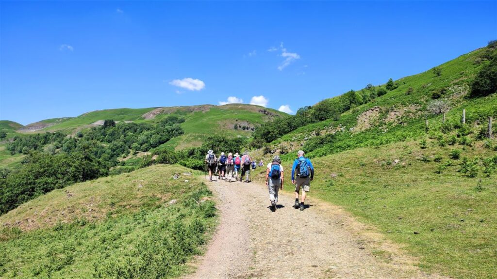
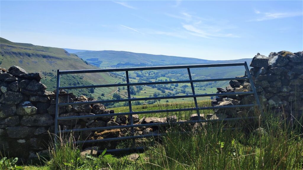
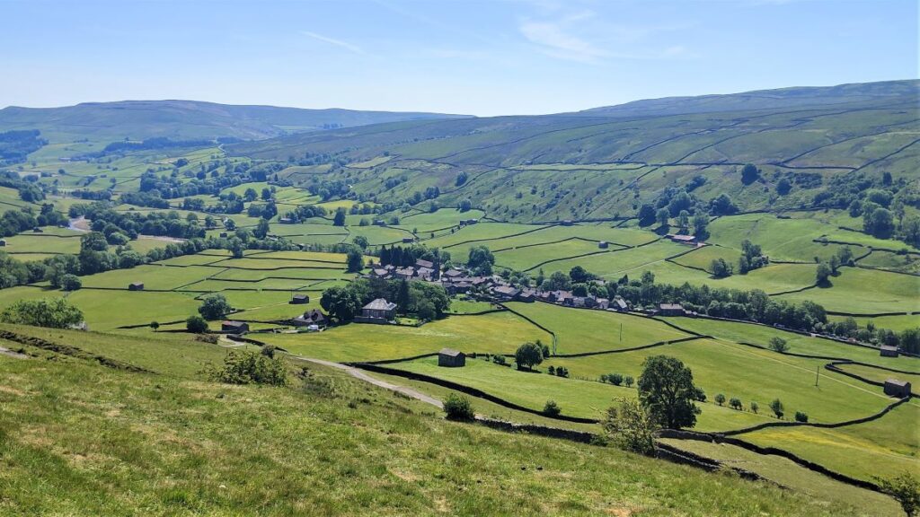
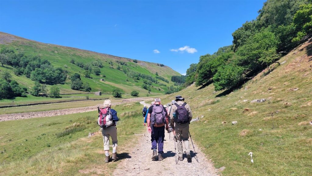
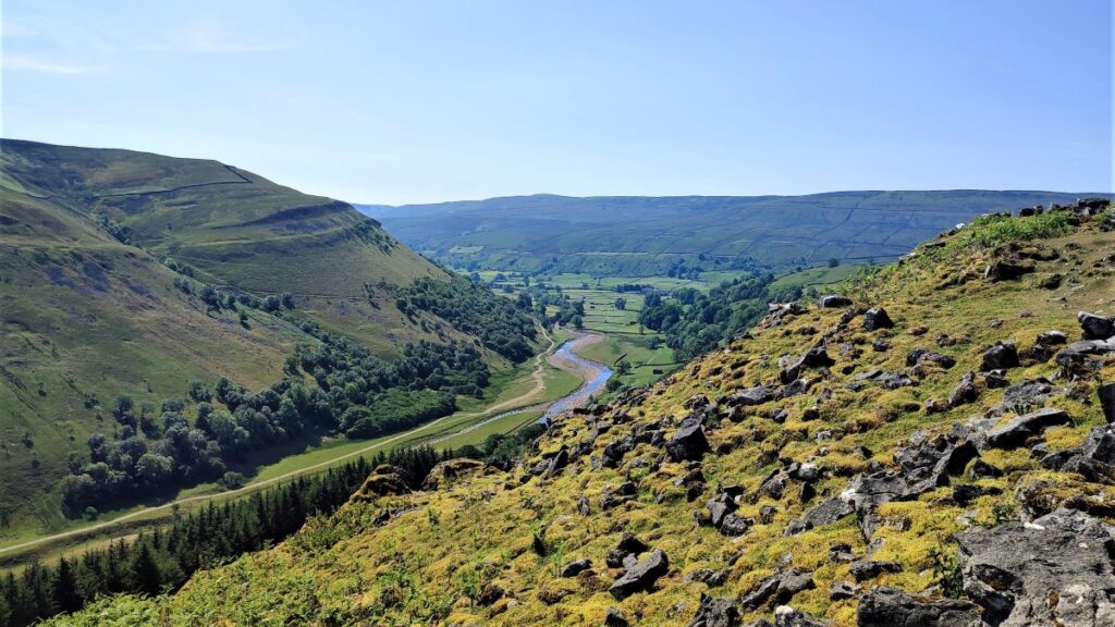
Although this section can be hard work, it’s worth persevering, because we soon clear the spoil and enter a flatter easier section with stunning views down Swaledale with Muker in the distance. It is also worth noting that there is a route from Keld to Muker on the other side of Kisdon Hill that is generally easier – this is referred to as the “Corpse Road” – because it is the route that funeral processions took to consecrated burial grounds lower down the valley. Perhaps a walk for another day?
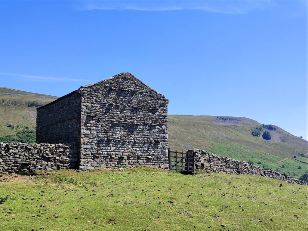
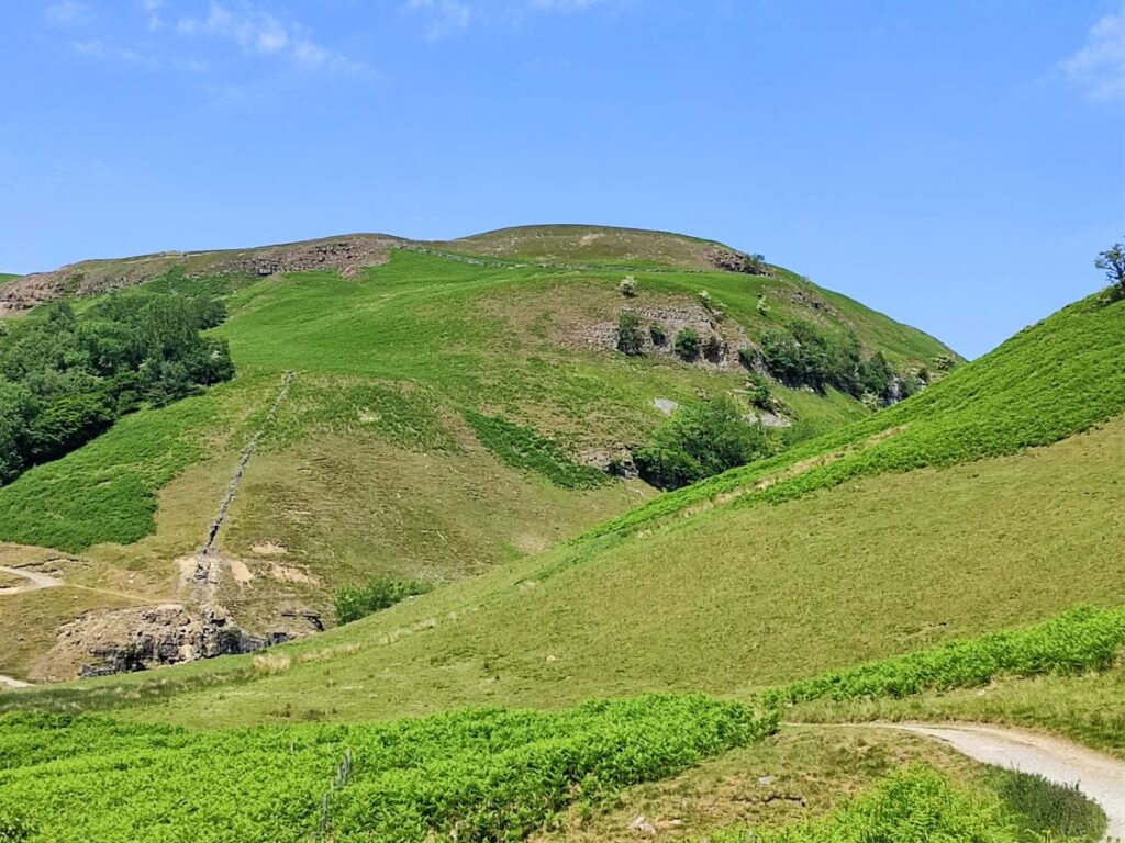
The route now gets easier as we pass through several meadows bounded by drystone walls before heading downhill toward Muker. At this point on our right is the settlement of Kisdon that gives the hill its name – it is a small collection of farmsteads. Kisdon was named by early Norse settlers. The Fell is unusual in that it is an isolated area of high ground with no ridges connecting it to other fells. This isolated status arose at the end of the last Ice age when the moraine left by the retreating glacier blocked the original course of the River Swale on the west side of the fell and diverted it to its present course, forming a gorge to the east and leaving Kisdon isolated from other high ground.
We can now see Muker in the valley below, and we follow the track down into the village centre. Our route out is via the meadows, but before that, it’s well worth exploring the village.
Muker was established during the era of Norse settlement in northern England. The church of St Mary the Virgin was of medieval origins but was substantially rebuilt in 1580 as a chapel of ease for Grinton.
A chapel of ease is a church building other than the parish church, built within the bounds of a parish for the attendance of those who cannot reach the parish church conveniently. St Mary’s became a church in its own right in 1750. A west tower was added in 1793, and in it hang 2 late medieval bells, possibly brought here from Marrick Priory when it was dissolved by Henry VIII.
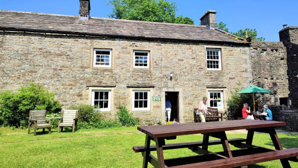
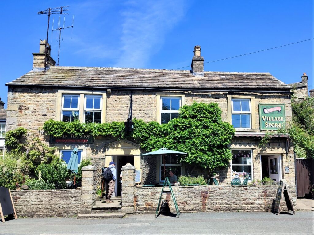
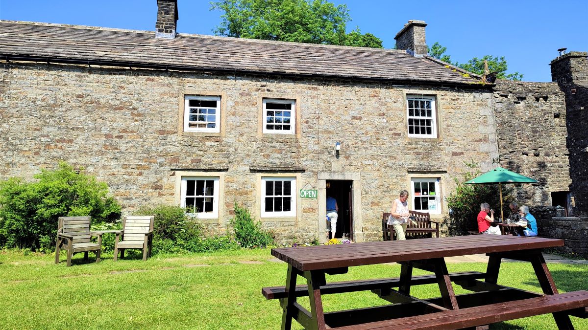
Also in the village are a village shop and tearoom, art gallery, craft shop, and a traditional country pub called The Farmers Arms. Another community focus is the Muker Silver Band, formed in 1897 and still active.


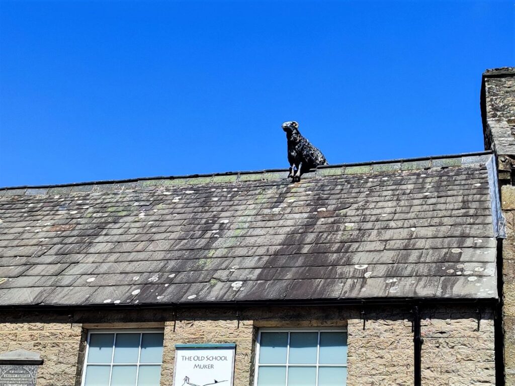
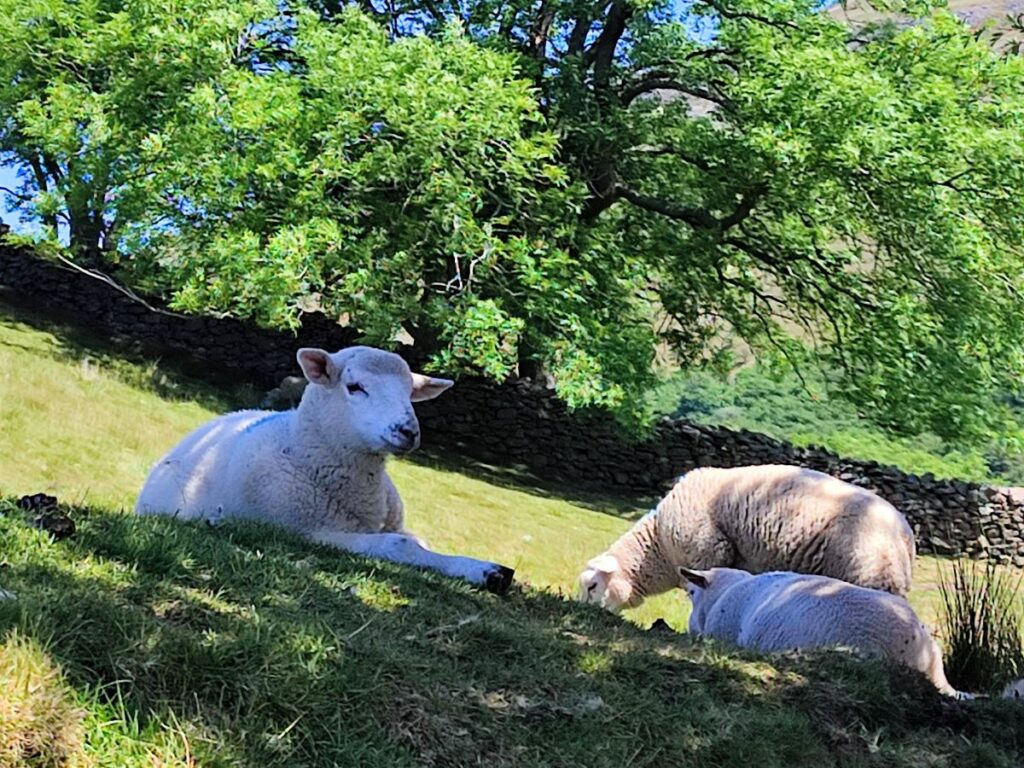
The Muker area was a centre for hand-knitted wool as far back as the 16th century when Elizabeth I popularised the wearing of hand-knitted stockings. During the Elizabethan period, almost every inhabitant of the Swaledale region, from children to the elderly, were engaged in knitting local wool into stockings. The invention of knitting machines in the 19th century brought an end to this cottage industry, but the tradition was revived in the 1970s. Now over 30 local people knit in their homes, and most of the garments they produce are on sale at Swaledale Woollens, located directly beside the pub. If in doubt look for the building with a sheep on the roof.
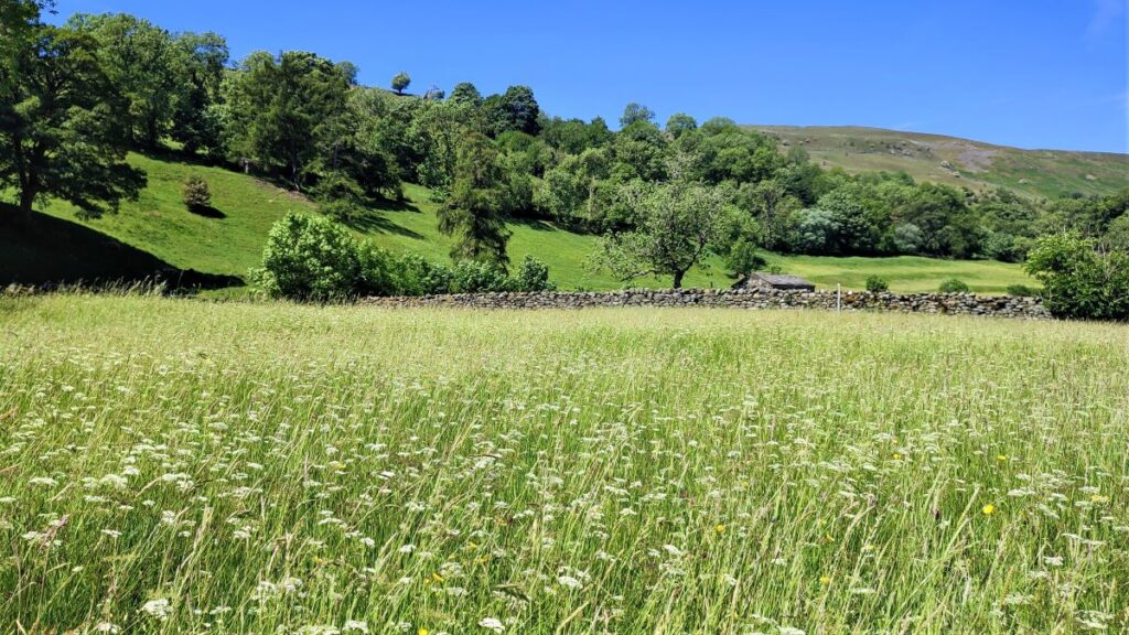
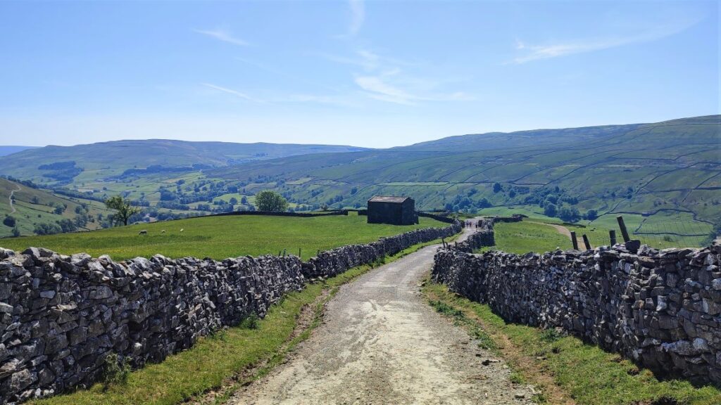
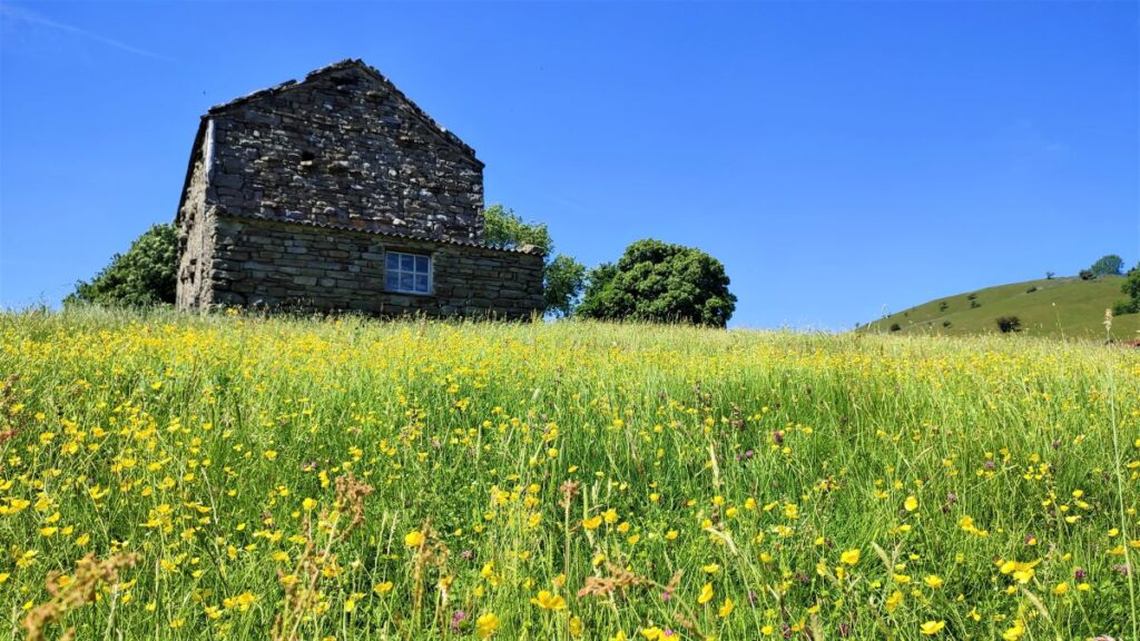
Our route back goes via the wildflower meadows located between Muker and the Swale – this is part of the Pennine Journey path.
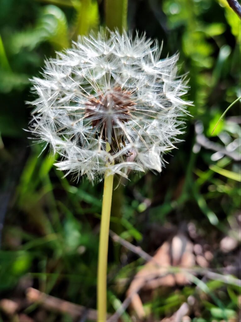
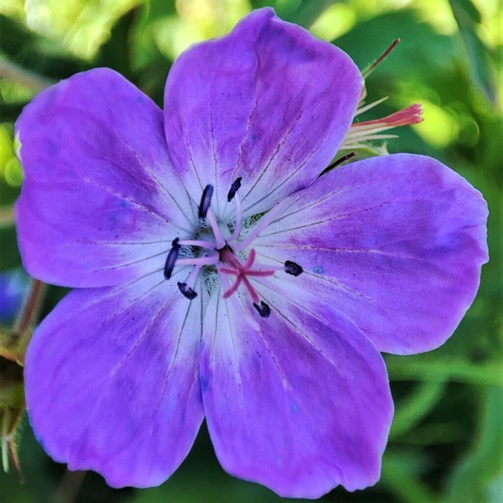
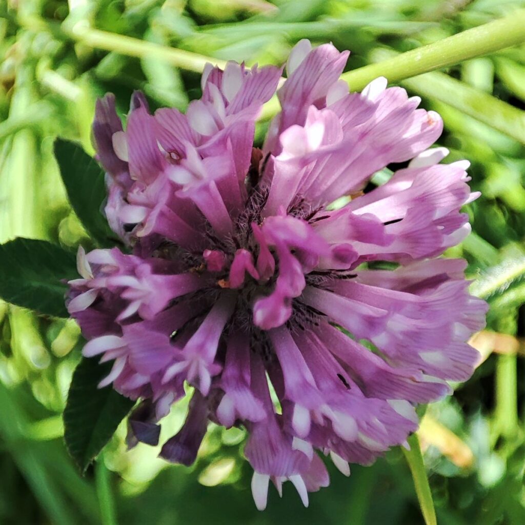
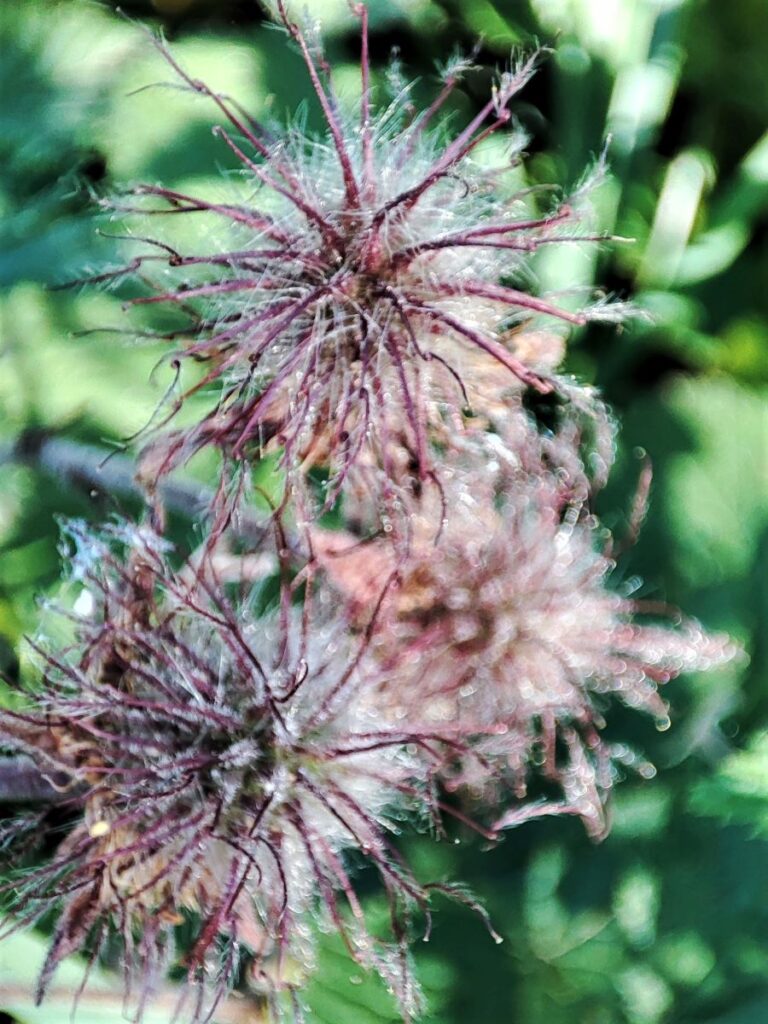
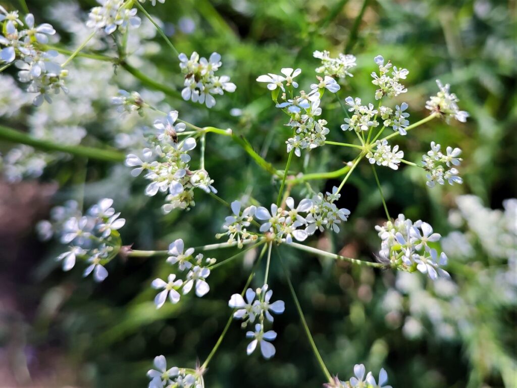
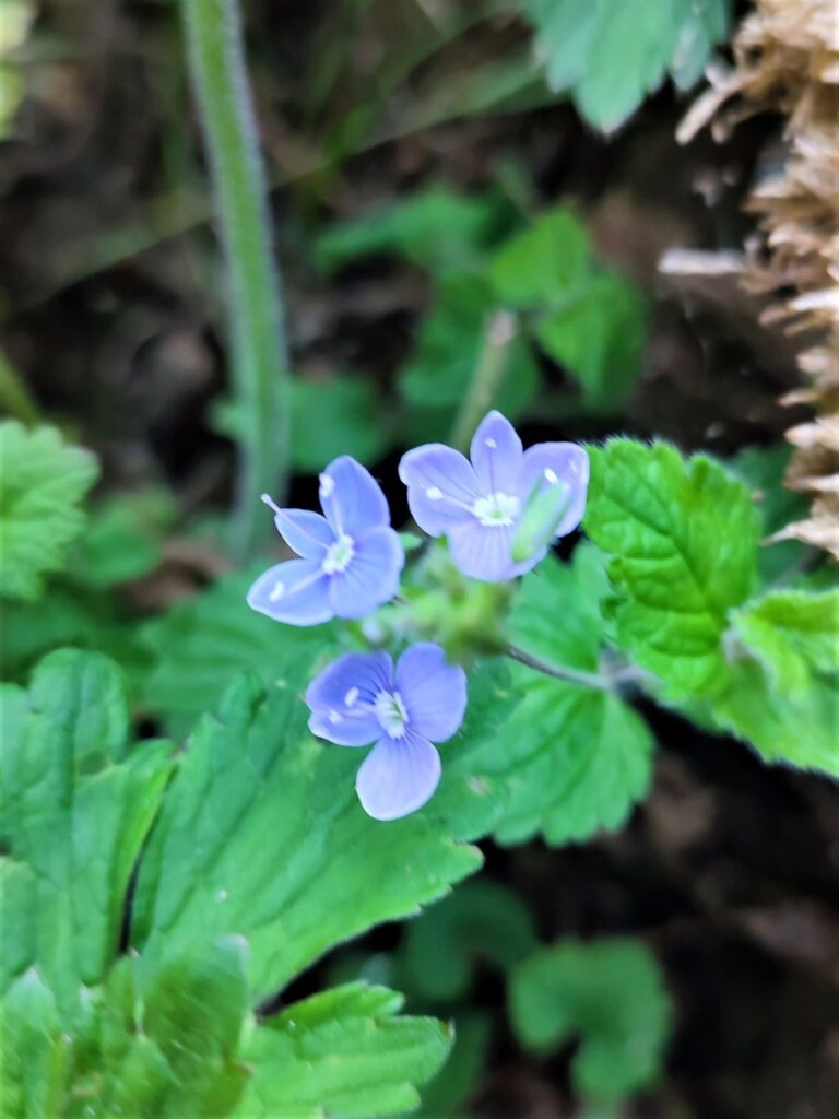
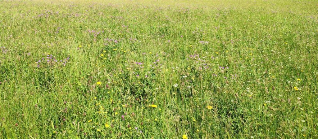
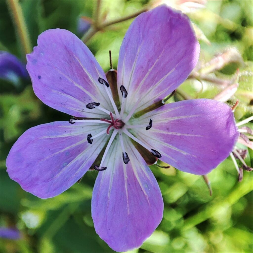
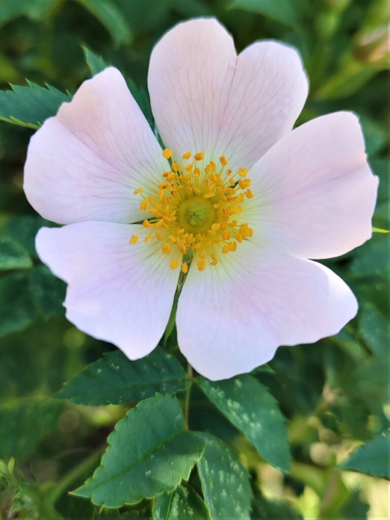
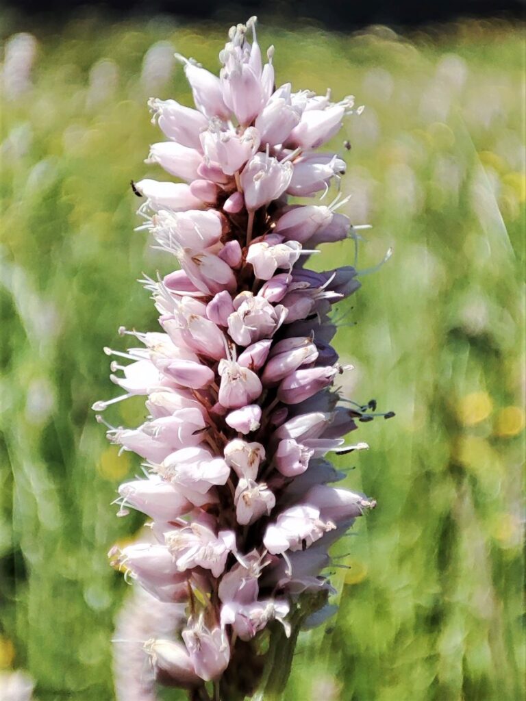
Muker is one of the best places to see upland hay meadows anywhere in the UK. Some of the meadows at Muker are protected as part of the Muker meadows Site of Special Scientific Interest (SSSI) and the Northern Pennine Dales Meadows Special Area of Conservation (SAC). They are species-rich with a very wide range of wildflowers and grasses including Wood Crane’s-bill, Melancholy Thistle, Yellow Rattle, Pignut, Lady’s Mantles, Rough Hawkbit, Cat’s-ear and Sweet Vernal Grass.
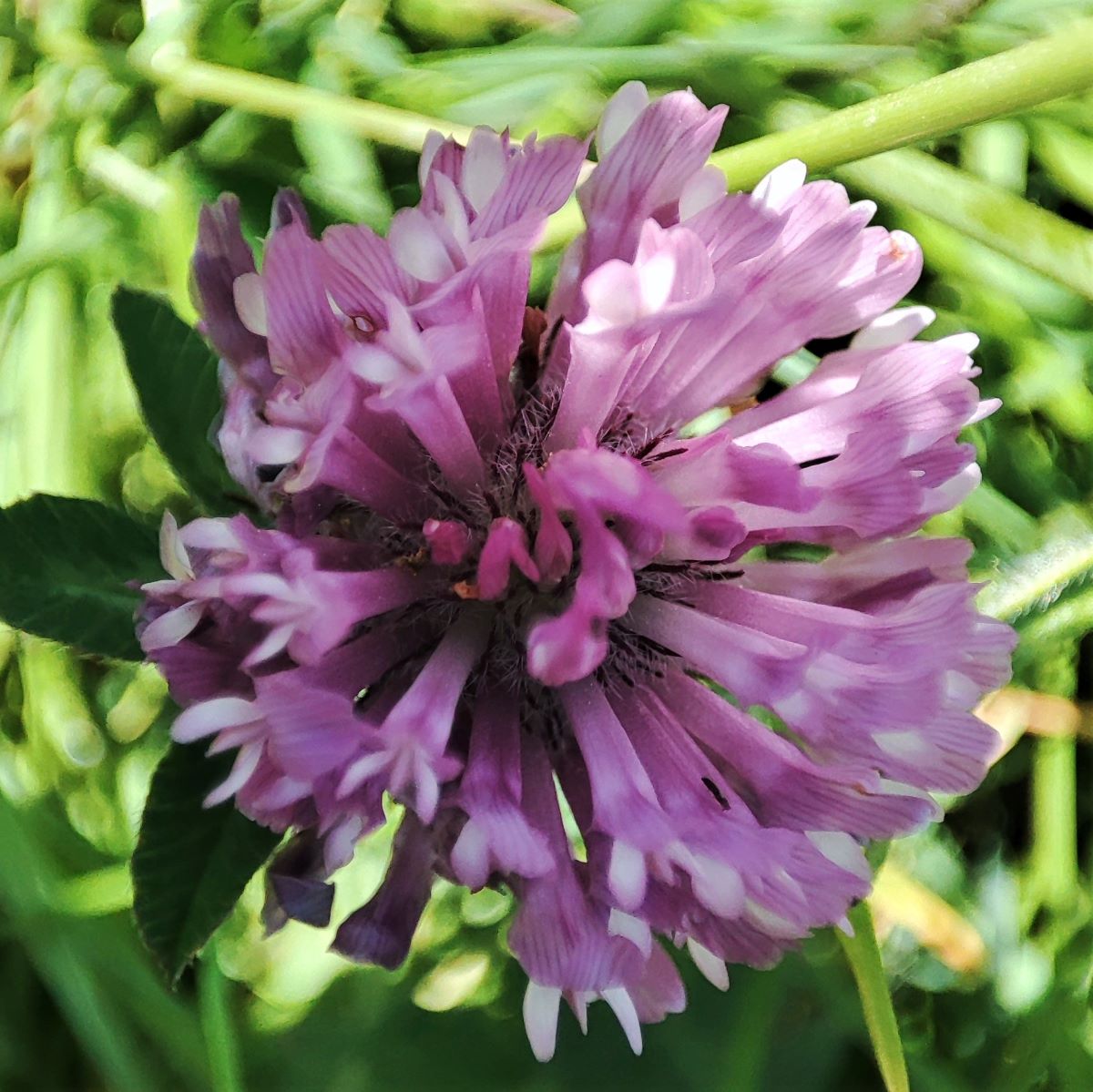
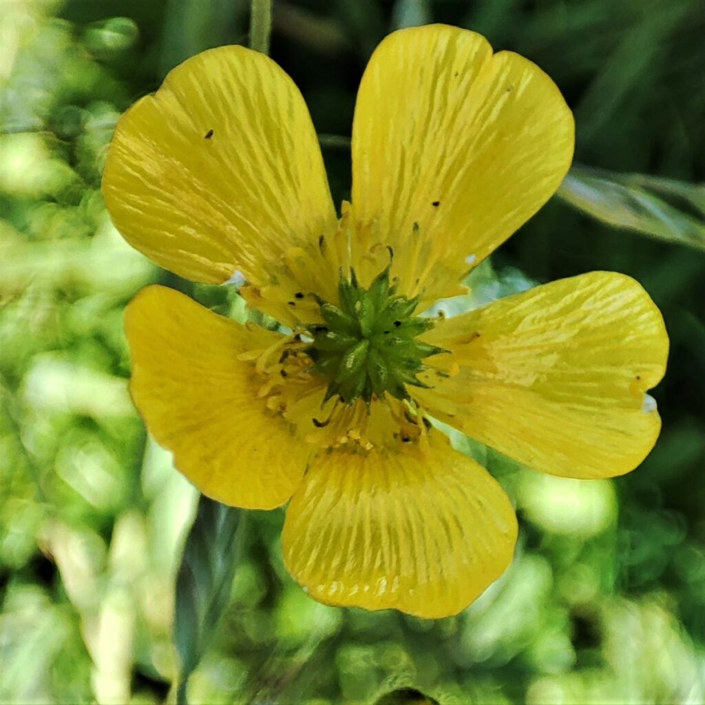
Four meadows at Muker were named as one of 60 Coronation Meadows in 2013 by HRH The Prince of Wales, and June is generally agreed to be the best time of year to visit if the widest variety of species is to be seen. The Muker meadows are celebrated as the surviving “jewels in the crown”, with the species and balance between the wildflowers and grasses essentially unchanged for hundreds of years. For this reason, the Muker meadows are used as ‘donor’ sites to provide seed for the restoration of other meadows in the Yorkshire Dales.
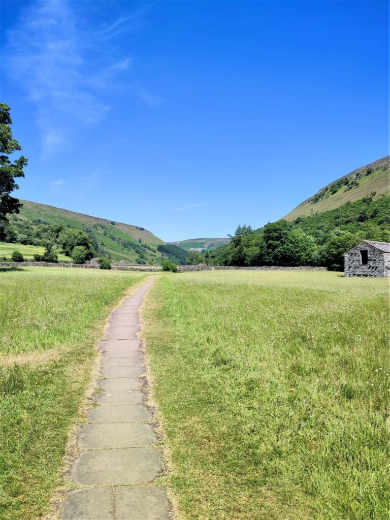
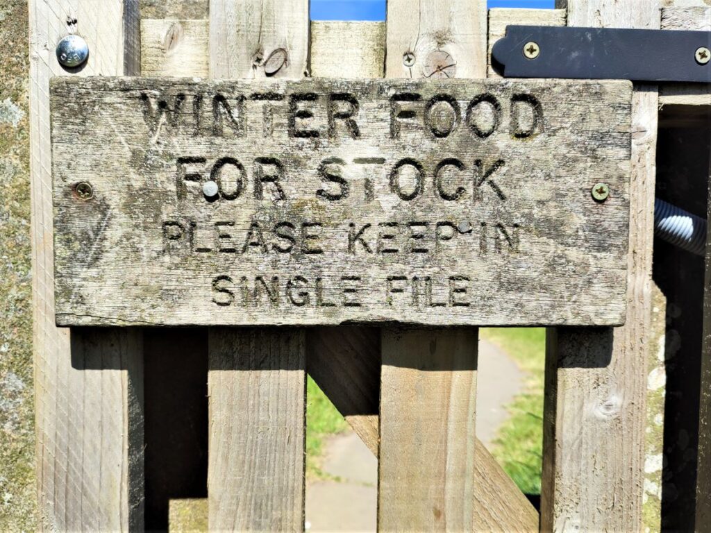
You will notice that as you walk through the four large meadows (in single file please and keeping to the stone flagged path), the balance of species is different between meadows, and to a lesser extent even within them.
Beyond the meadows, we meet the Swale and have a choice. The route described here crosses the bridge which we see to the right and takes a higher level return to Keld. If a shorter and easier option is required than head left and up the base of the river valley keeping the Swale on your right.
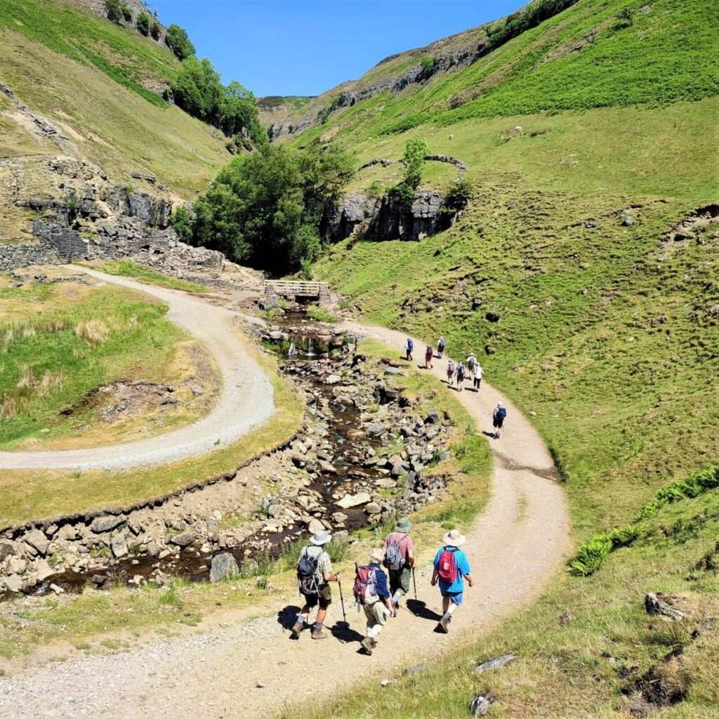
Having crossed the river, we climb a few steps and then head left up the river valley on a clear track. We stay on this track for a long while now, so navigation is easy.
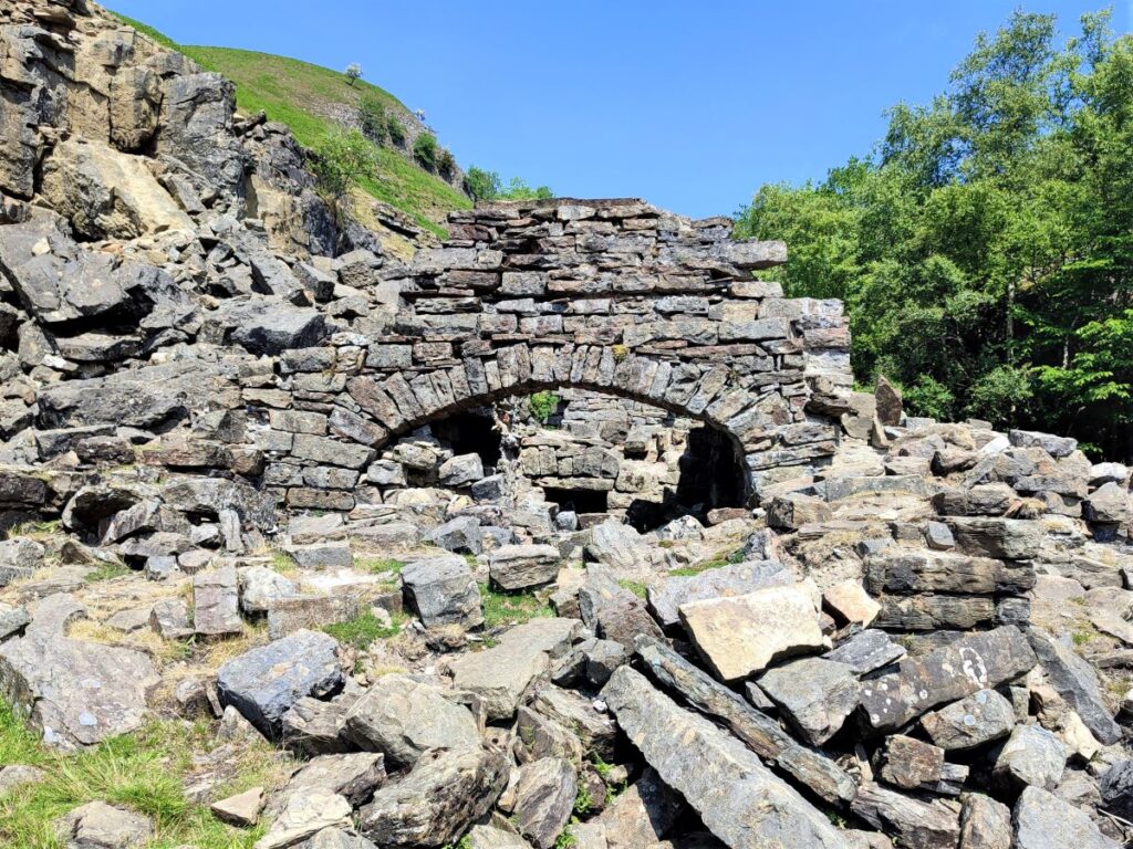
Our next significant landmark is Swinner Gill, where we find ruins of the Beldi smelting mill. If you look carefully, you can see a flue from the smelt mill which ran up the hillside to take away the poisonous fumes – similar in design to the flues on our Yarnbury walk. Swinner Gill itself is a small but powerful beck that tumbles down off the back of Gunnerside Moor. Just behind the ruined buildings is a waterfall, that is easily missed but well worth seeing, and the rocks to the left of the waterfall are a good place to find fossils.
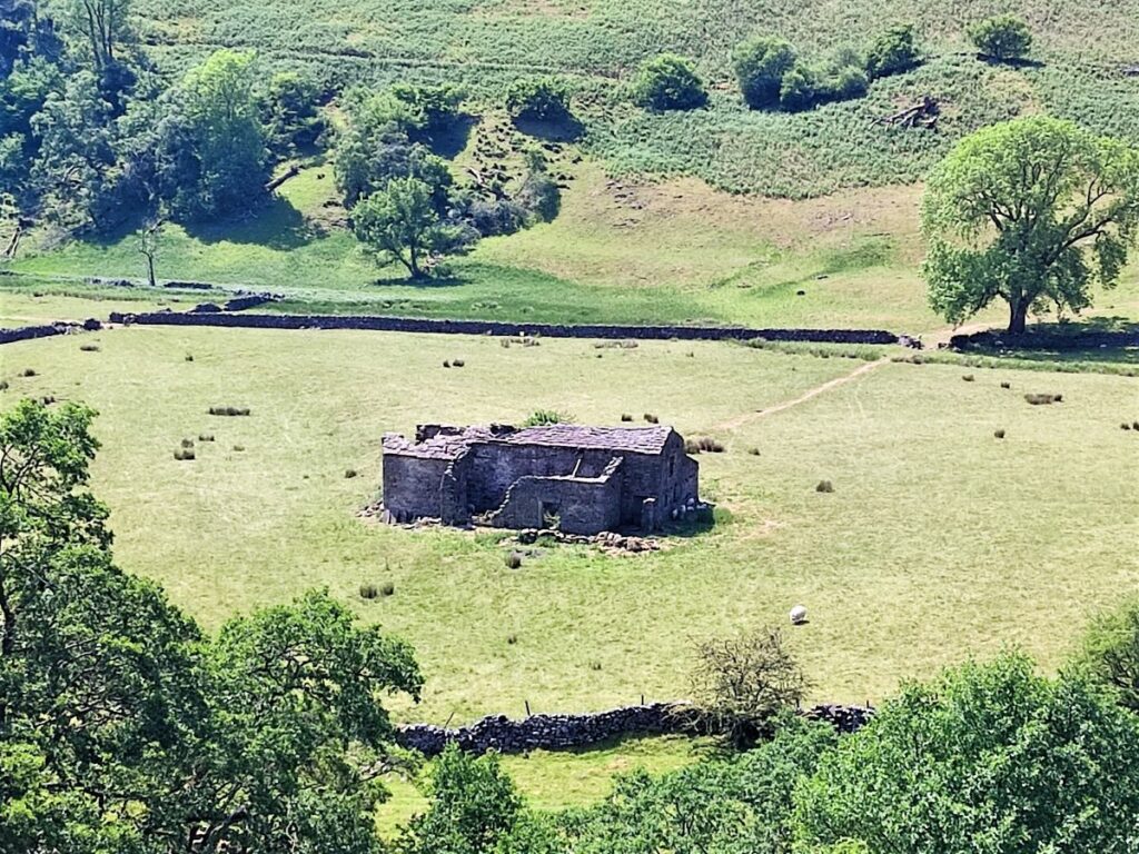
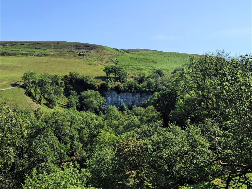
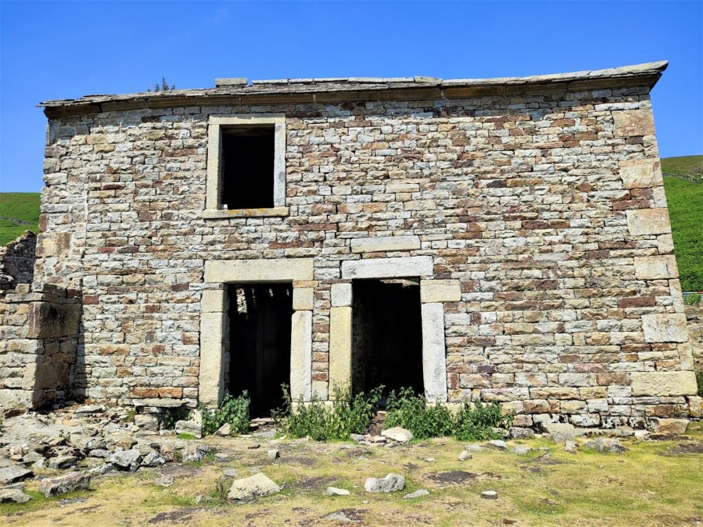
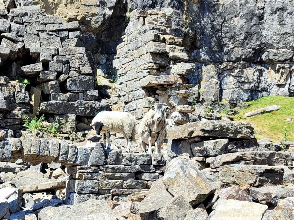
Crackpot Hall is not, and never was a grand mansion as the name suggests – it was originally built as a humble farmhouse. The unusual name Crackpot has Scandinavian origins dating from the Viking occupation of the Dale. The Norse word “Pot” means deep hole and there are plenty of caves nearby where the limestone has been eroded by rain and underwater streams flowing through cracks in the rock. This is combined with the word Crack which has Old English origins and translates as Crow. So, in effect, the pothole where crows are found.
The building is now derelict and has been since the 1950’s when subsidence from the local lead mining caused irreparable structural damage to the property. But it is recorded that there was a 16th Century hunting lodge known to have stood on the site from when this area of Swaledale was part of a royal hunting forest.
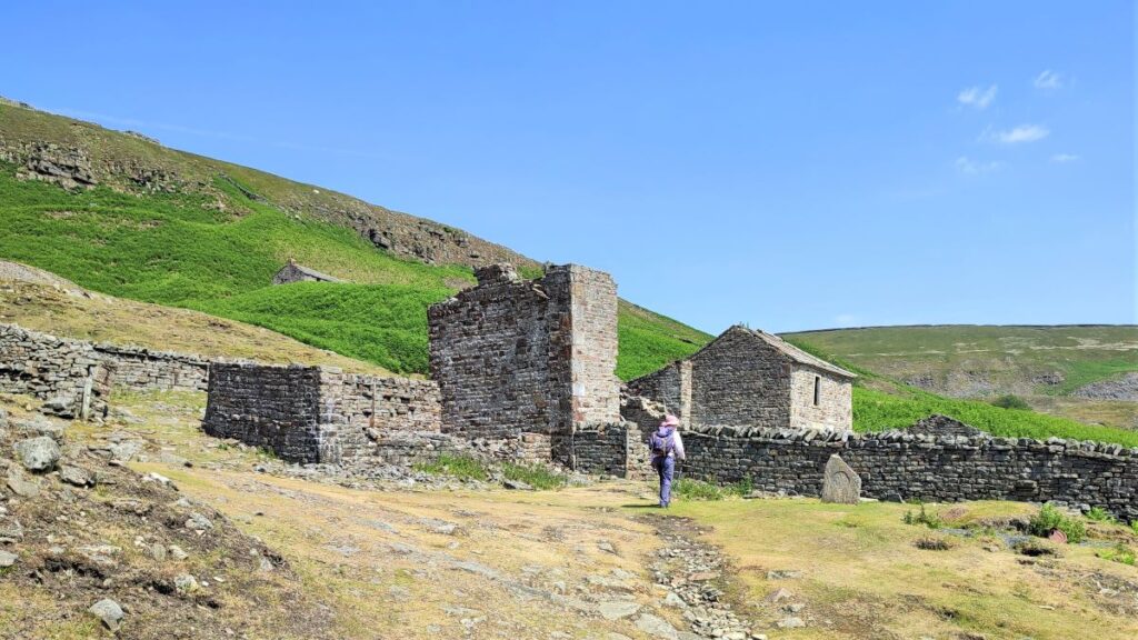
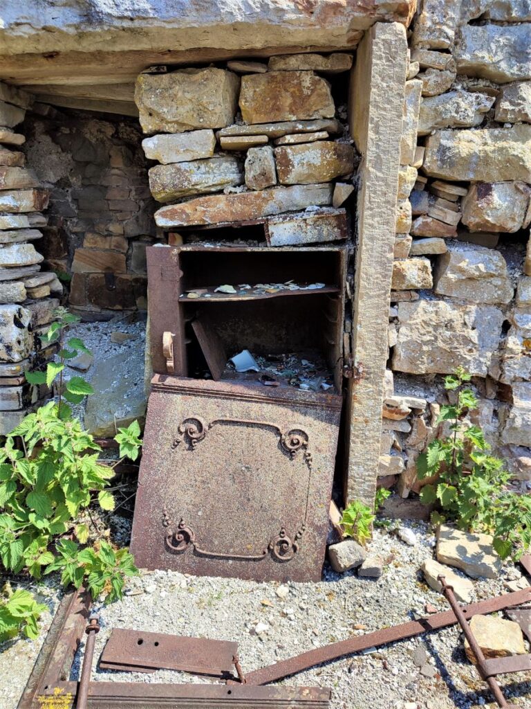
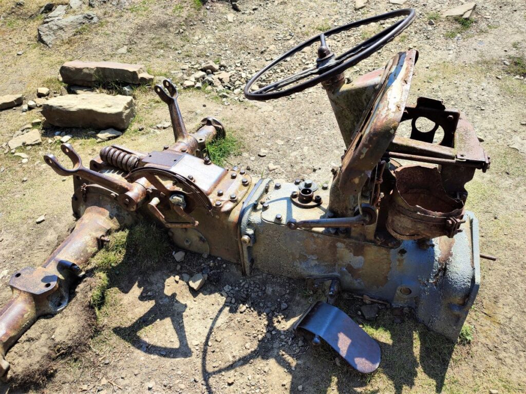
The Crackpot Hall we see today was built on the site of the Hunting Lodge and dates to the early 1700’s when it was simply a farmhouse. In the 18th century Swaledale was transformed with the explosion of lead mining attracting thousands to make their fortune mining lead ore (Galena) from veins in the limestone. During this lead mining boom Crackpot Hall became the office for the local lead mine and remained so until the late 1800’s. Archaeologists have discovered remains of bottles, candles and dynamite wrapped in a newspaper with the date 1893, which had been left behind by the lead miners.
After mining ended, Crackpot Hall reverted to use as a farmhouse, achieving fleeting notoriety in the 1930’s when local historians published a story about a four year old girl named Alice who they had discovered roaming wild and barefoot in the area. They claimed her speech and dialect were unintelligible. The story of the ‘wild child” spread and became part of local folklore, persisting in the area for decades. In 2015, the BBC investigated the story as part of a radio documentary. The presenter, David Almond managed to clear the matter up and unpick the myth after discovering that the residents of the farm at the time were six children who lived there with their parents.
Alice was tracked down and found to be living in Carlisle where she was interviewed about her childhood and living in isolation at Crackpot Hall. That documentary is still available by clicking here
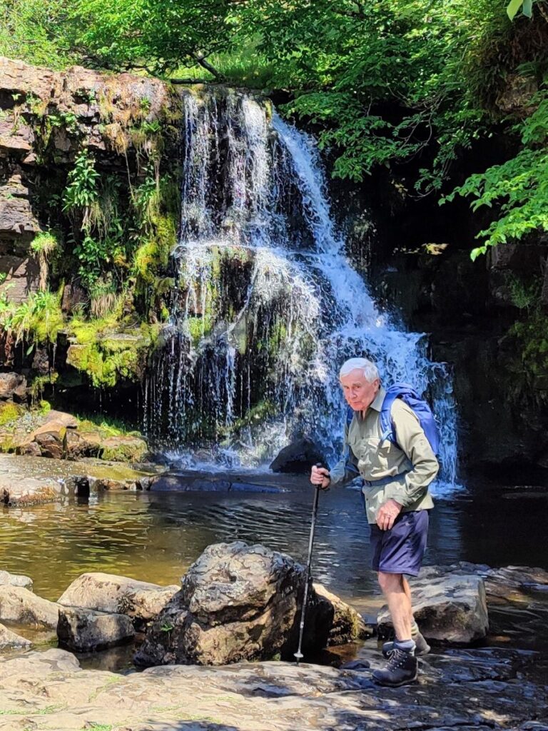
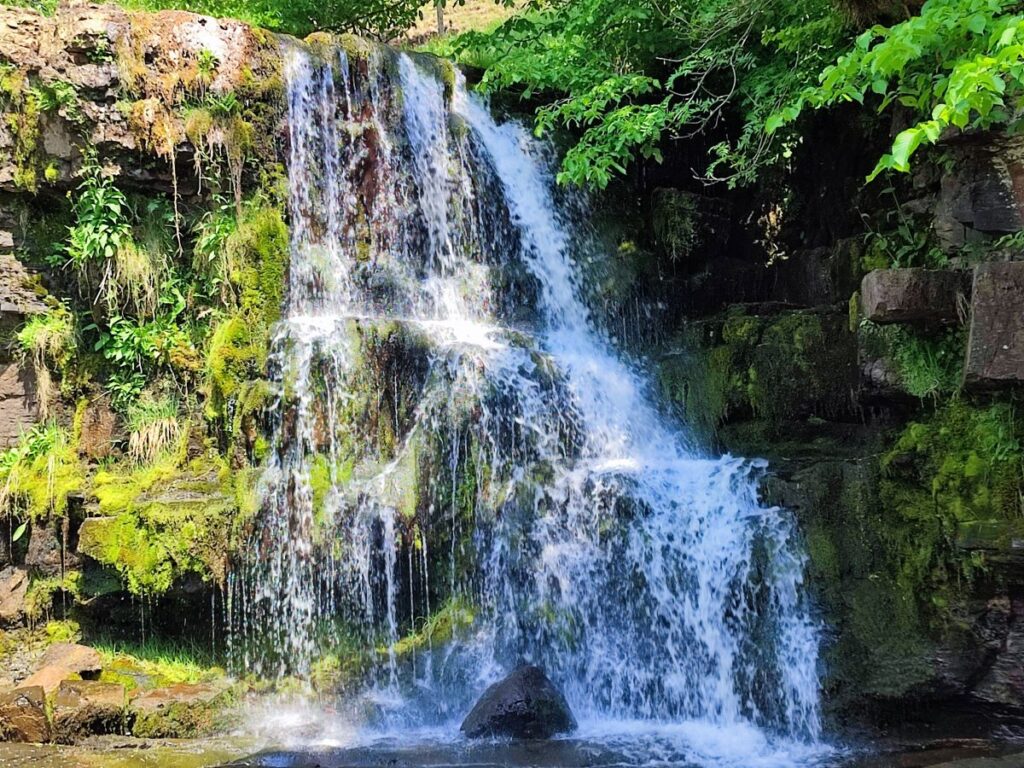
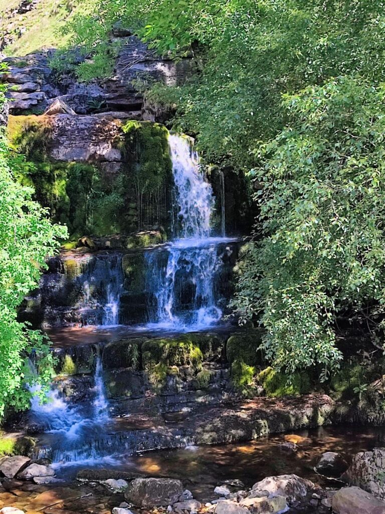
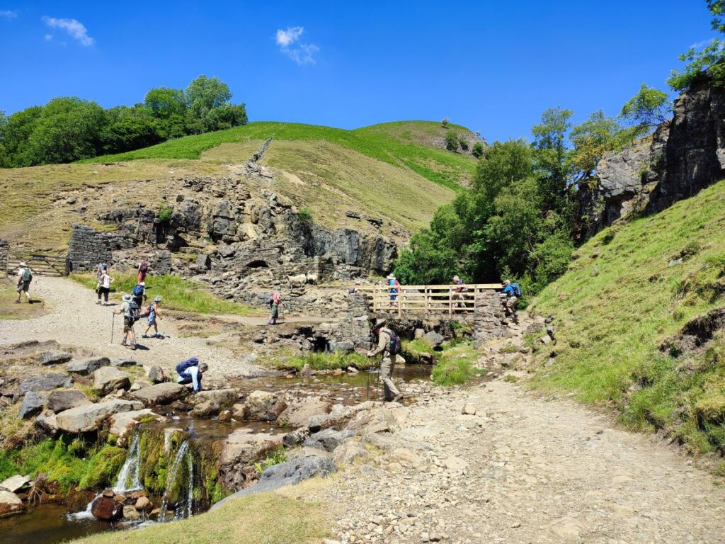
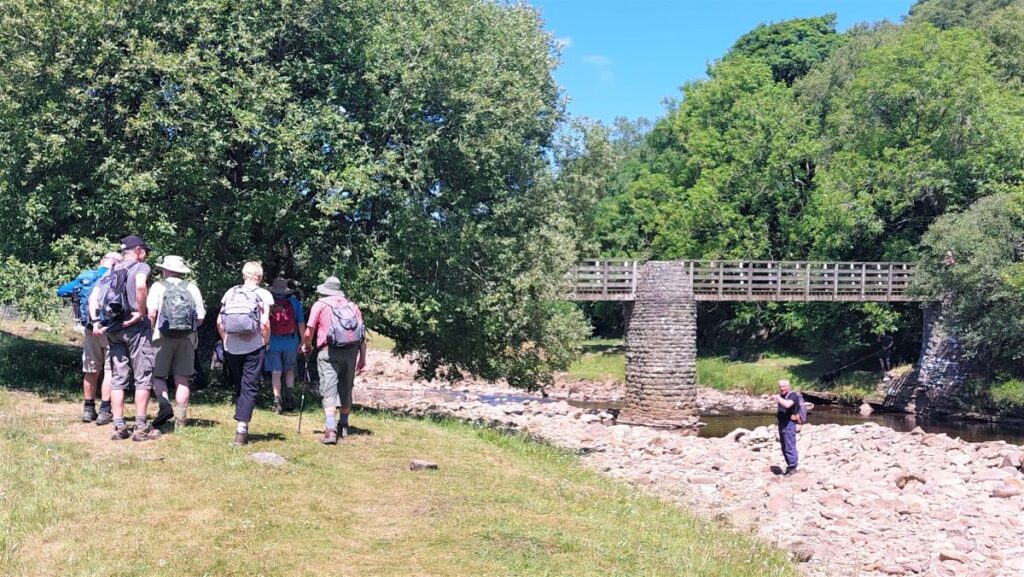
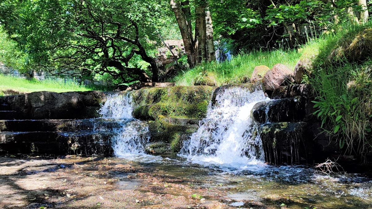
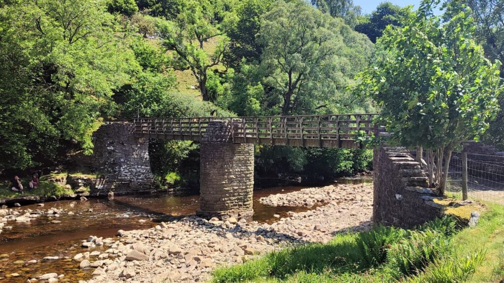
From Crackpot Hall, we return back down to the main path and continue back to Keld, taking care to leave the track at East Stonesdale and the waterfalls rather than continuing on to Stonesdale Moor.
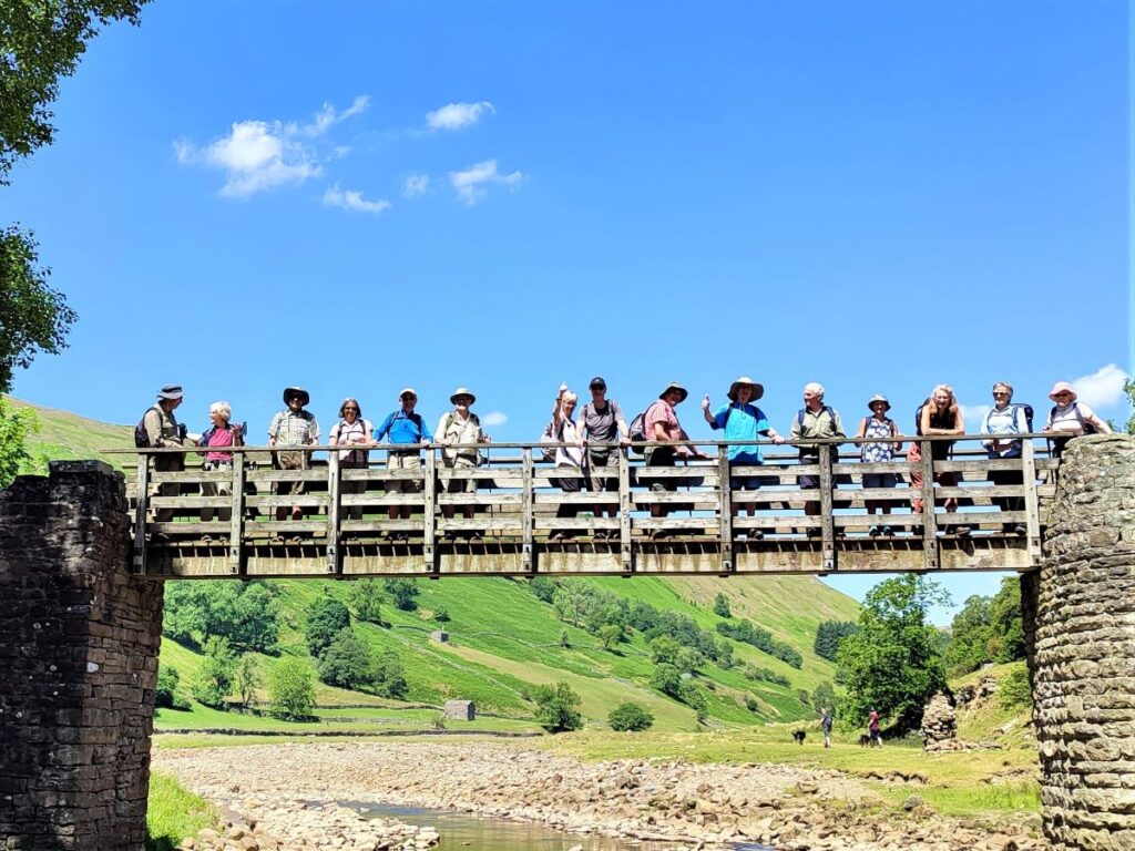
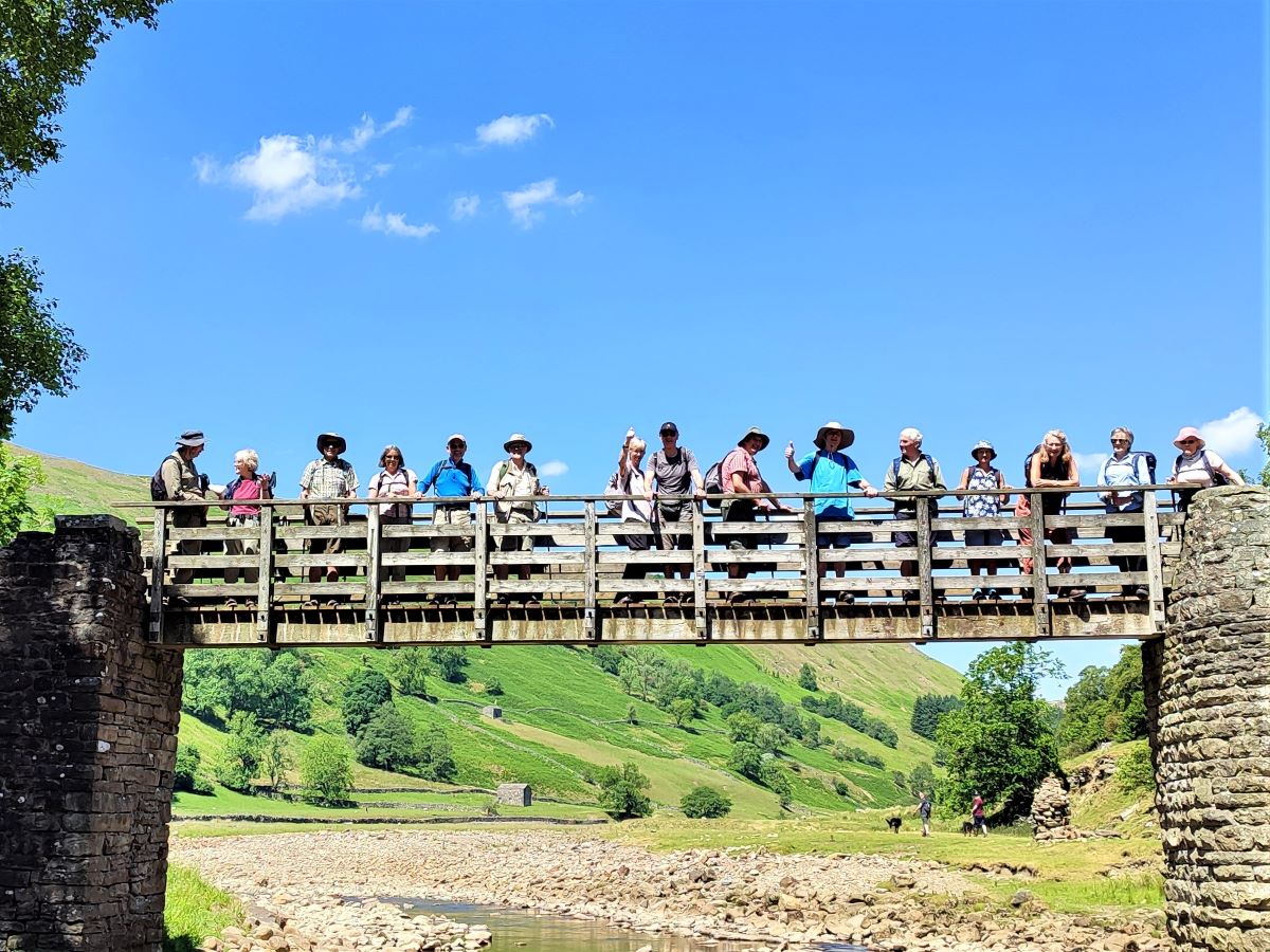
From here we cross the Swale at the wooden footbridge and climb the cart track back to Keld where the walk ends.
Useful links