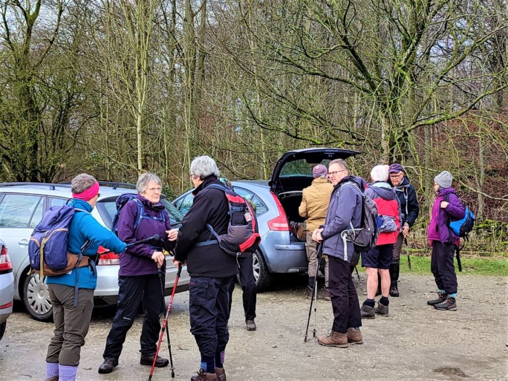
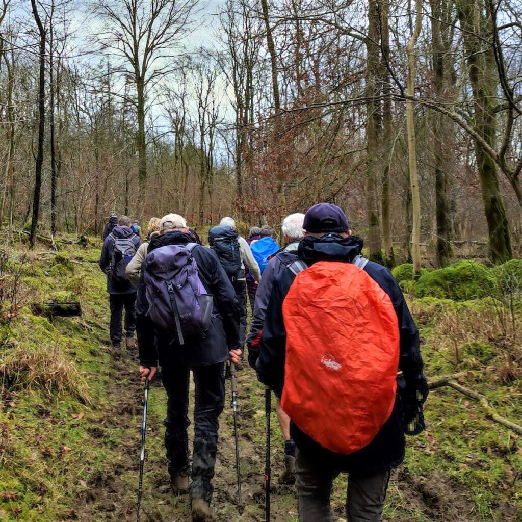
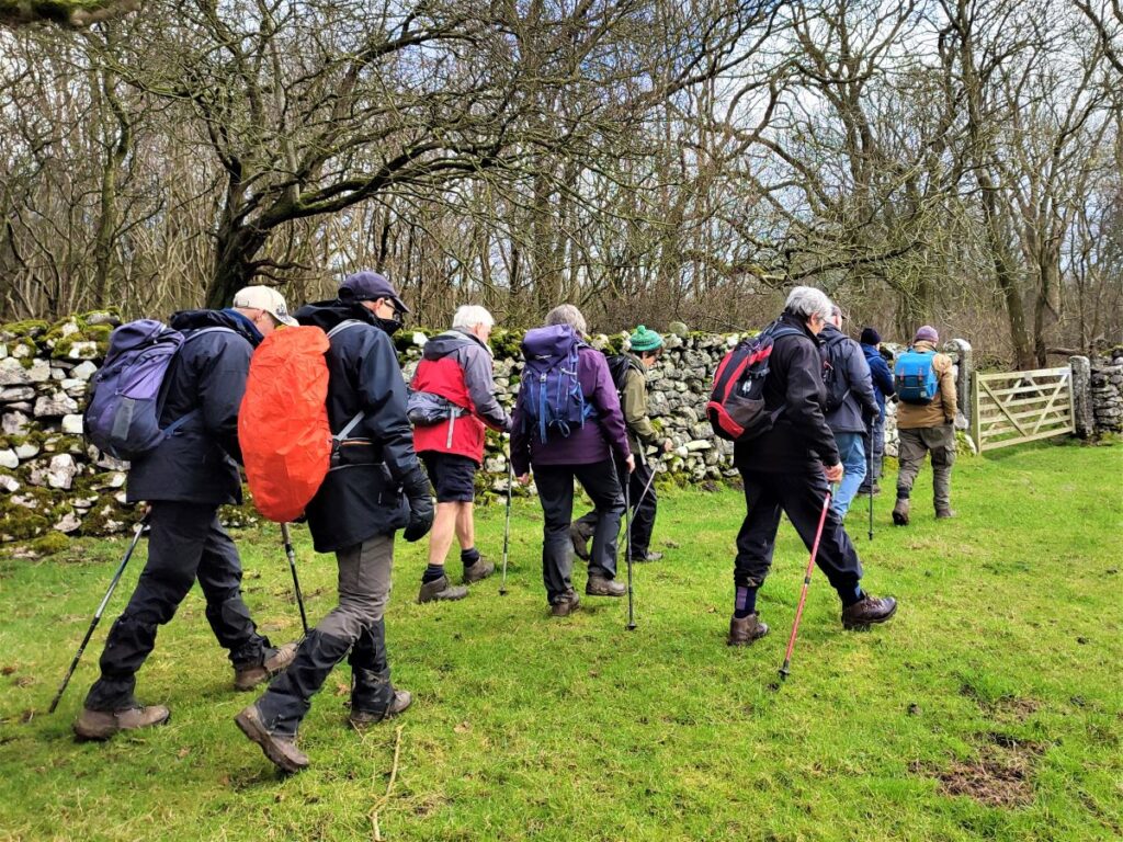
The triangle formed by the pinch point of the M6 and the A65 is often overlooked as a walking area – it’s not the Yorkshire Dales, and it’s not the Lakes – it’s not even the Forest of Bowland. But it is easy to reach, it offers great walks and not surprisingly then, is popular with The Benham Footpath Group.
This relatively easy walk focusses on Dalton Crags – the area of limestone pavement to the South of Hutton Roof. We start at Plain Quarry car park and then meander South through the rolling hills around Dalton Old Hall before heading back up to Burton-in-Kendal where we pick up the path along Slape Lane and into Pickles Wood, before taking a track through Storth Wood. This takes us part way up Dalton Crags, where we have a good look at the limestone pavement before heading back down to the car park.
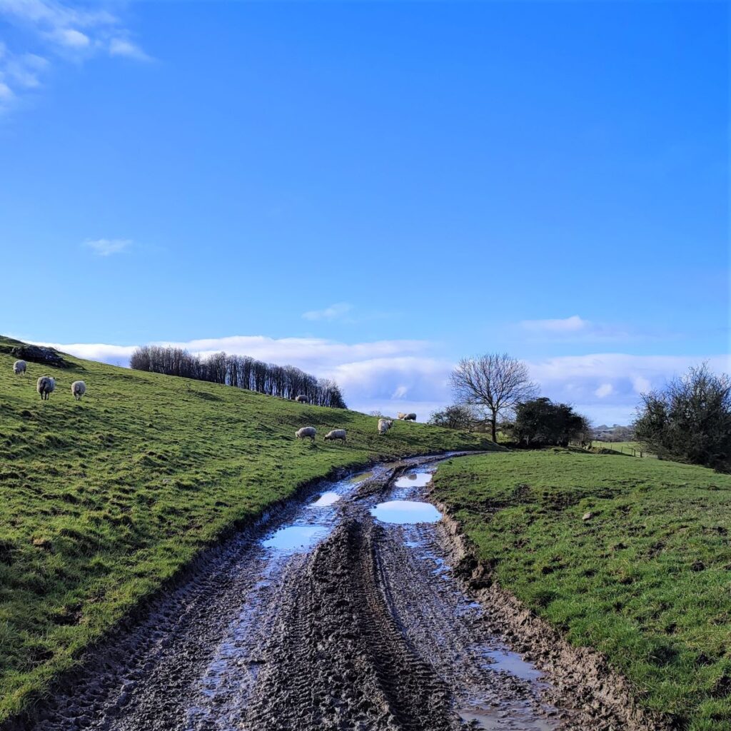
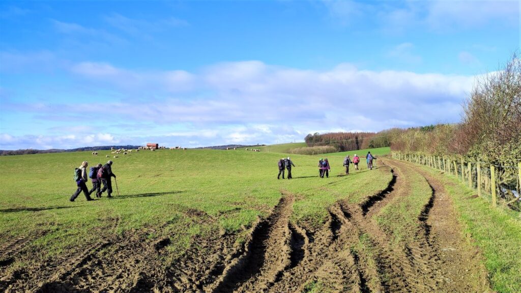
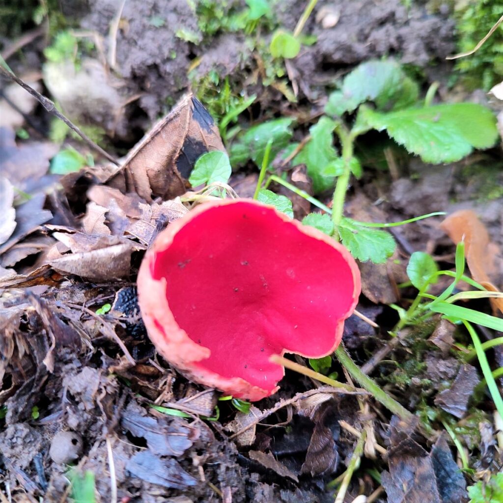
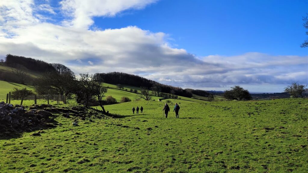
This is a great walk with wonderful views, but it can be quite muddy after wet weather so be prepared.
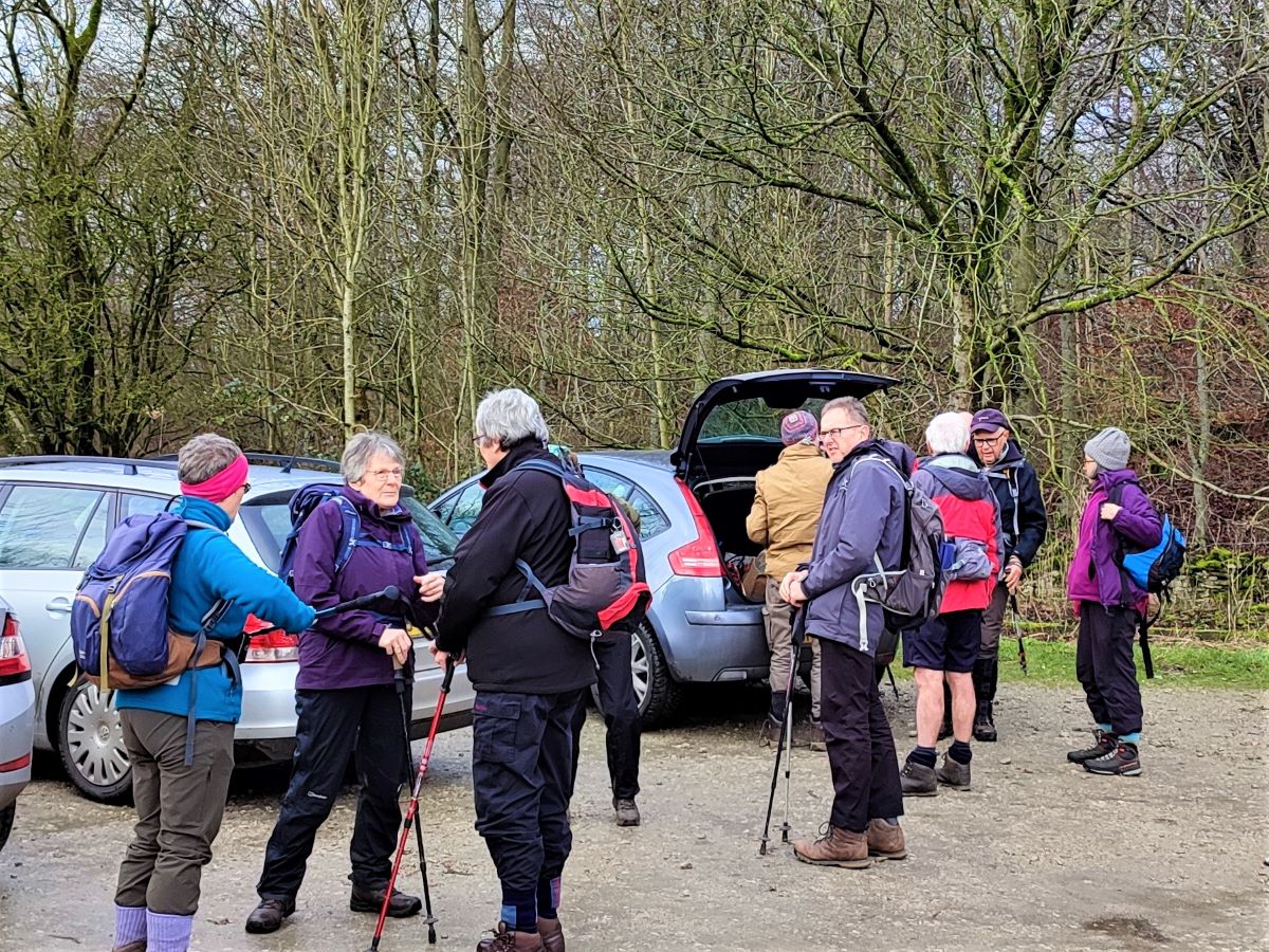
We start at the free car park on Dalton Lane, the minor road between Whittington and Burton-in-Kendal. The car park is on the right if you are travelling from Whittington, or the left if you came via Burton. It should be easy to find, but if in doubt, the grid reference is SD55227614, with what-3-words tag spooked.zaps.milk pinpointing the car park entrance. If you are using satnav, the postcode LA6 1NJ, in conjunction with Dalton Lane should suffice.
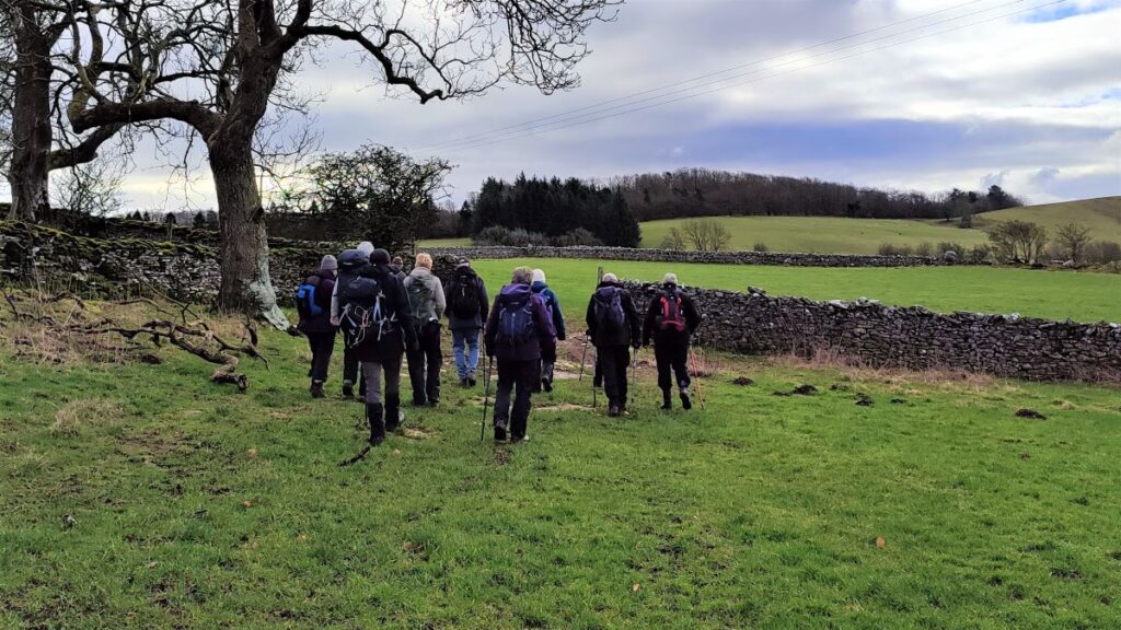
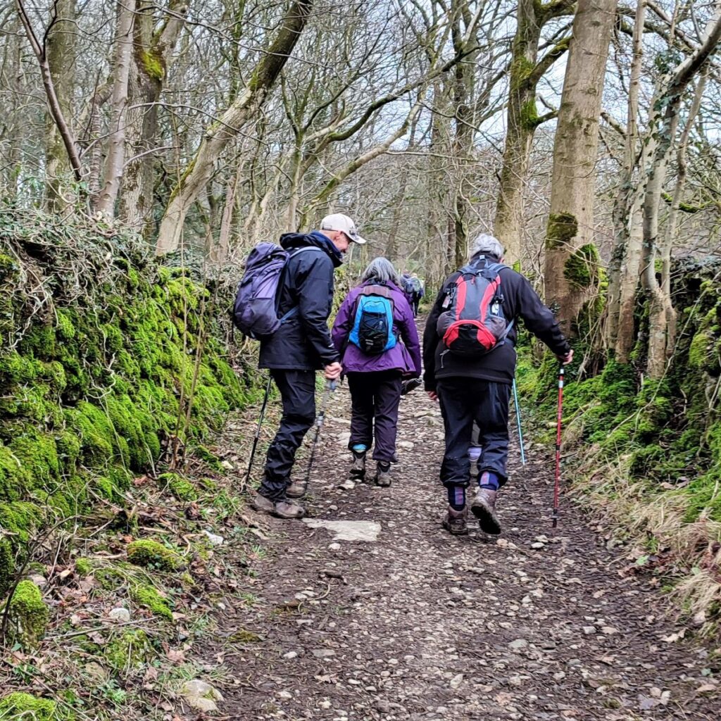
Having parked, we notice a tempting path at the back of the car park – this does indeed head up Dalton Crags, but we save that for our return journey – and for now we head back down to Dalton Lane and turn right to walk along the road for a short while in the direction of Burton-in Kendal. This is not a busy road but there may be some forestry traffic, so take care.
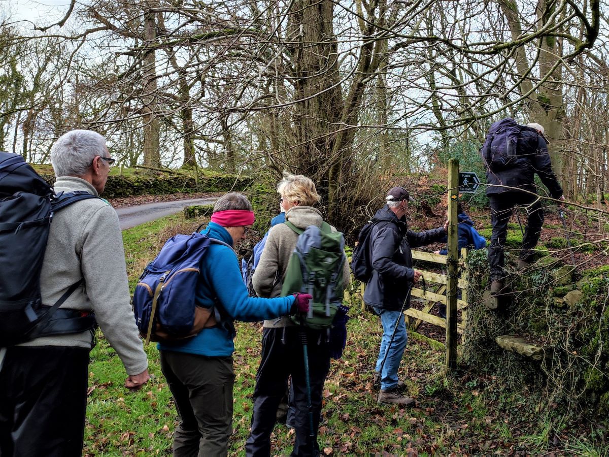
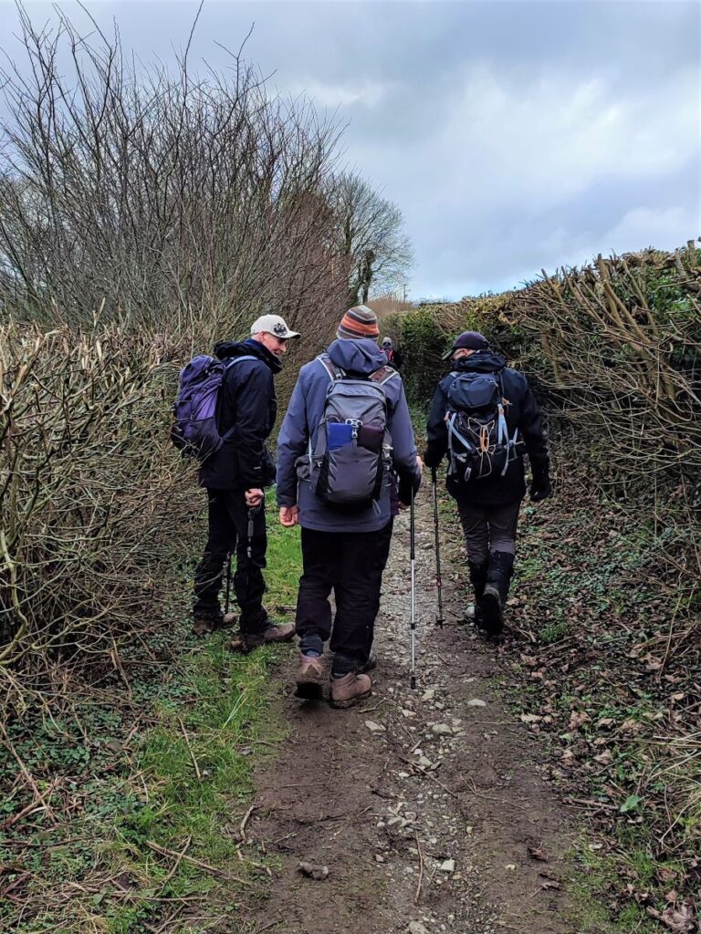
After a short distance, the road turns sharply to the right, and we need to look for a path coming off a track on the left hand side. Care is needed here because there are two tracks which fit this description:
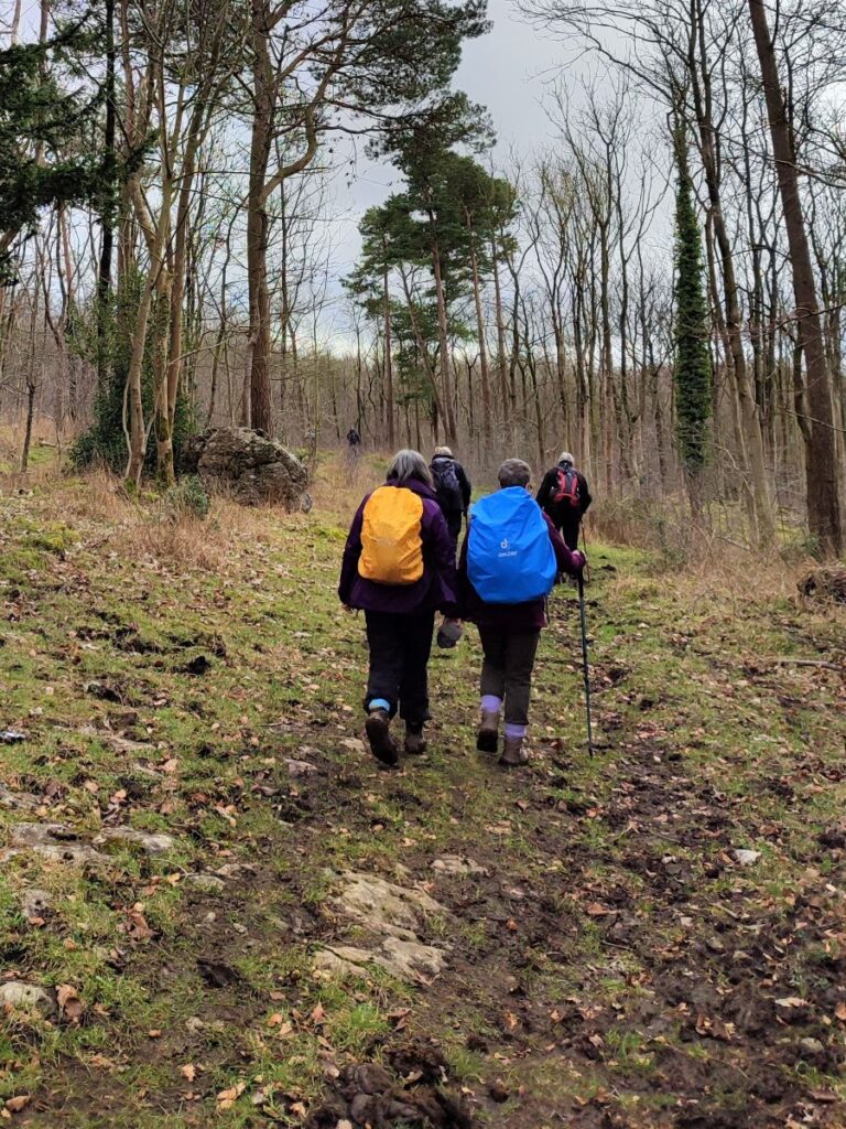
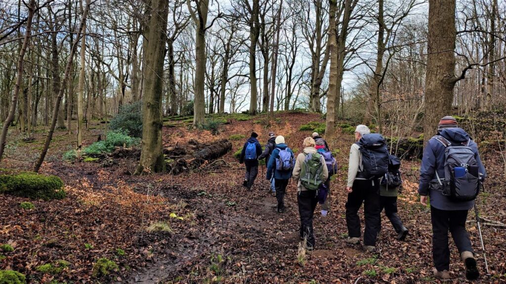
The first heads South-East over toward Brown Edge and Gunnerthwaite, the second, and the one we take, continues along the line of the road – but inside the drystone wall boundary of Harry Wood.
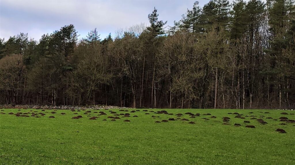
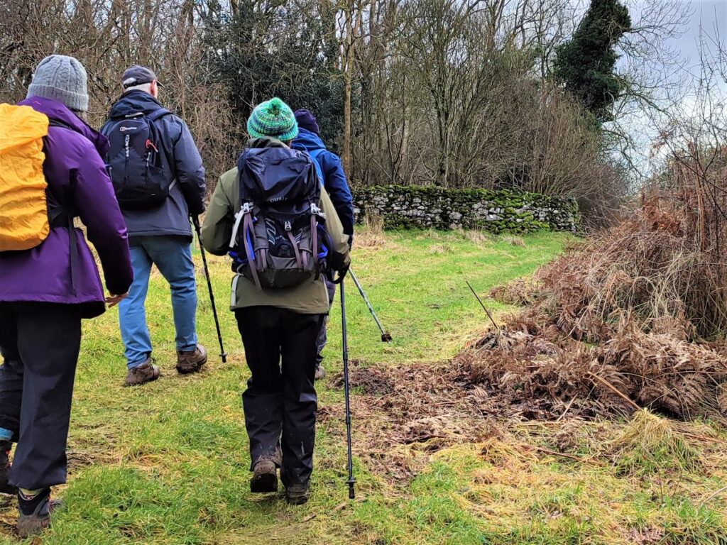
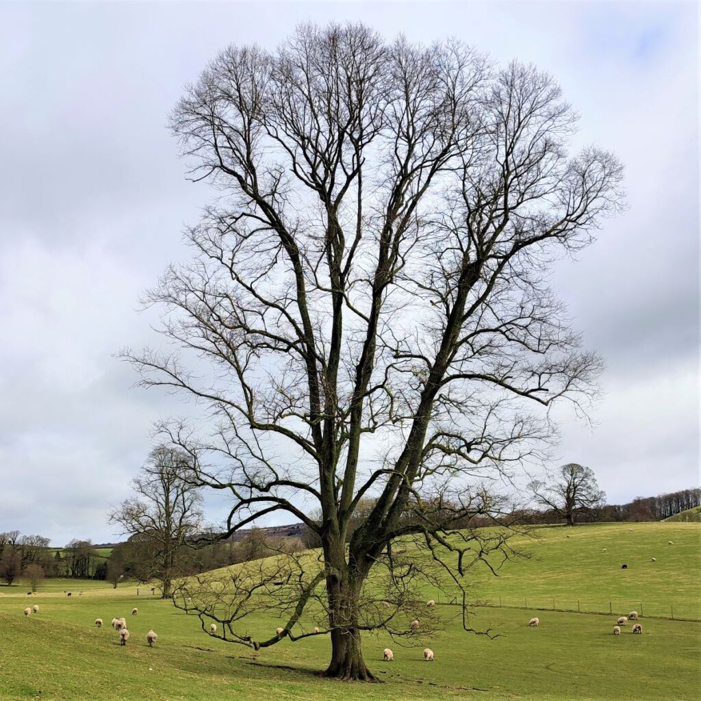
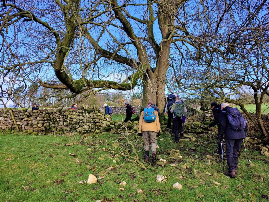
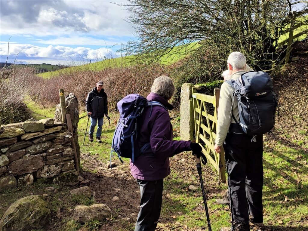
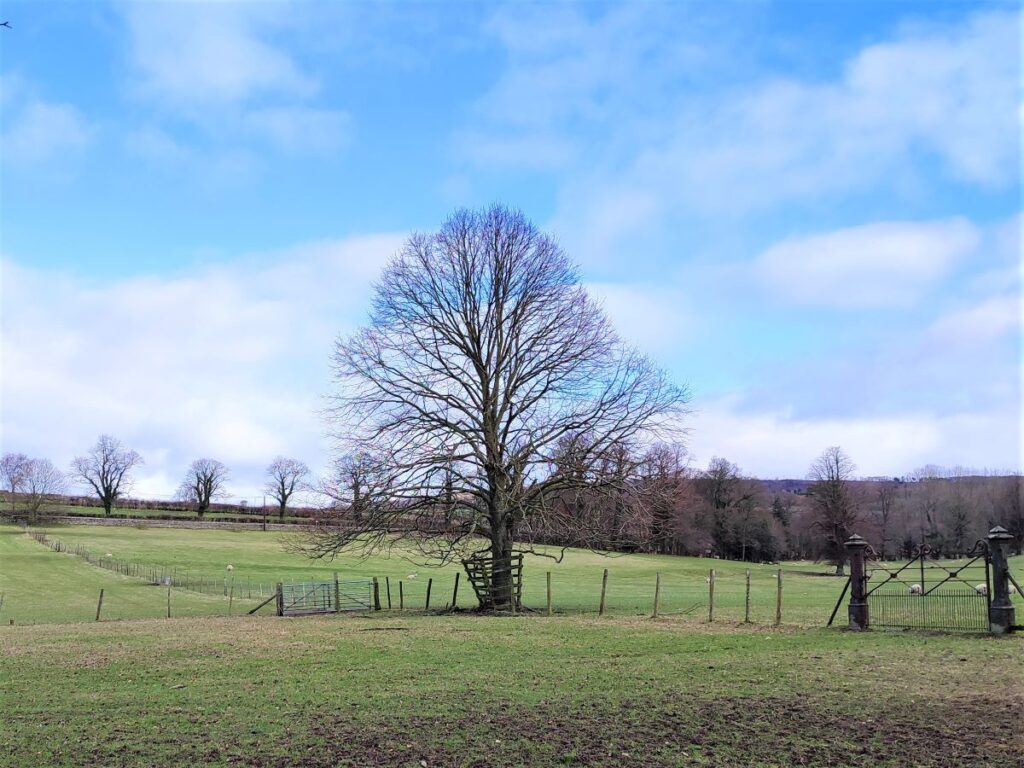
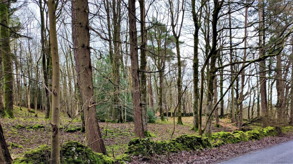
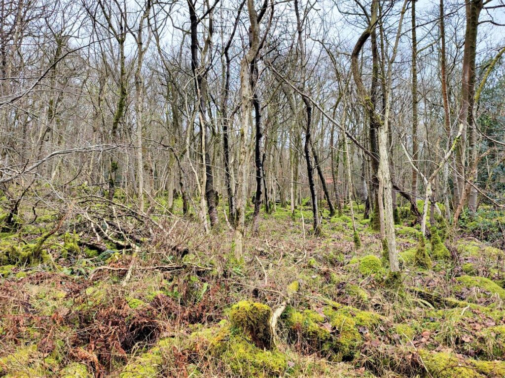
Harry Wood is not a large woodland, so we soon find ourselves exiting the trees, with the path continuing around the outer edge of the wood through a flat field much favoured by moles, and in the far corner we look for a gate adjacent to a particularly fine old tree.
Through this gate, we follow the field boundary South, through a gap in the wall, and then bear left to follow the drystone wall round the field. We pass through another gate and then continue to follow the drystone wall South-west toward the field corner.
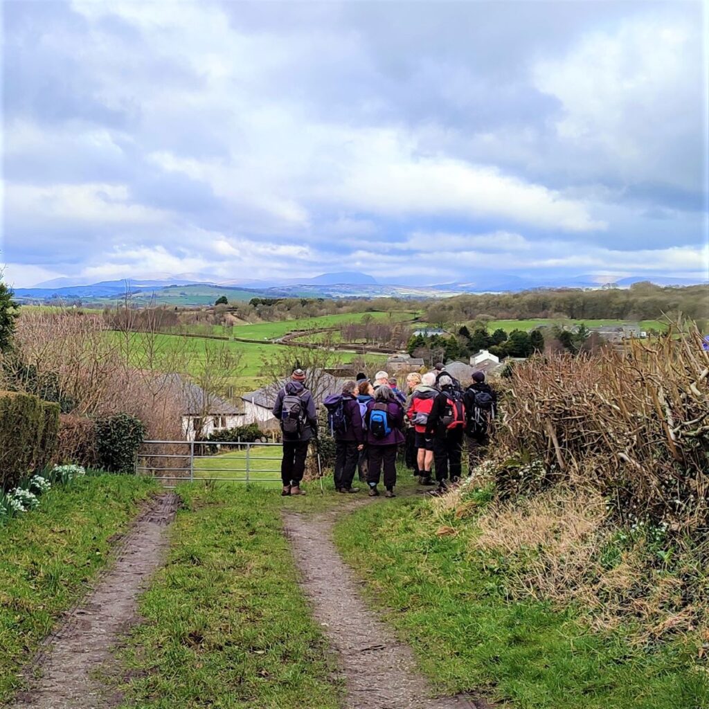
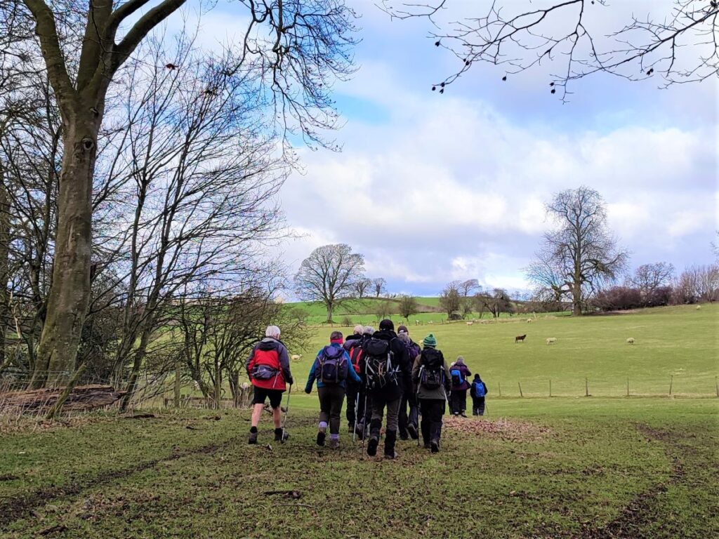
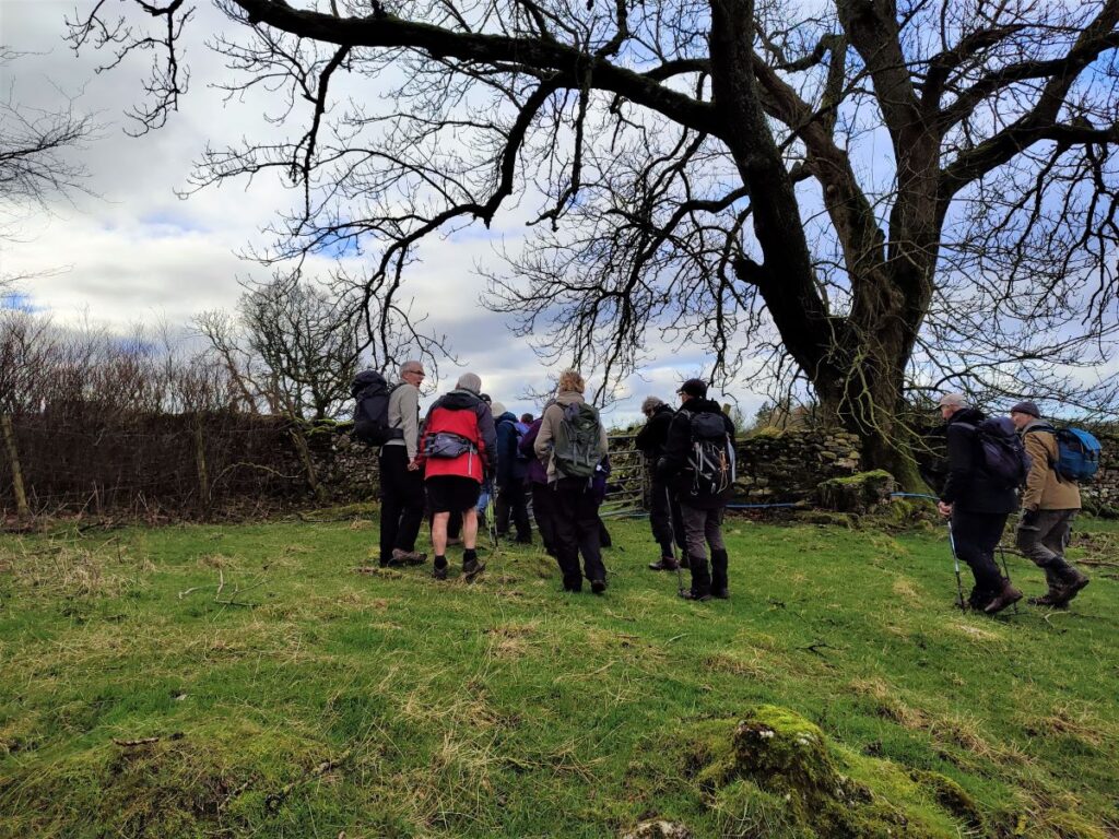
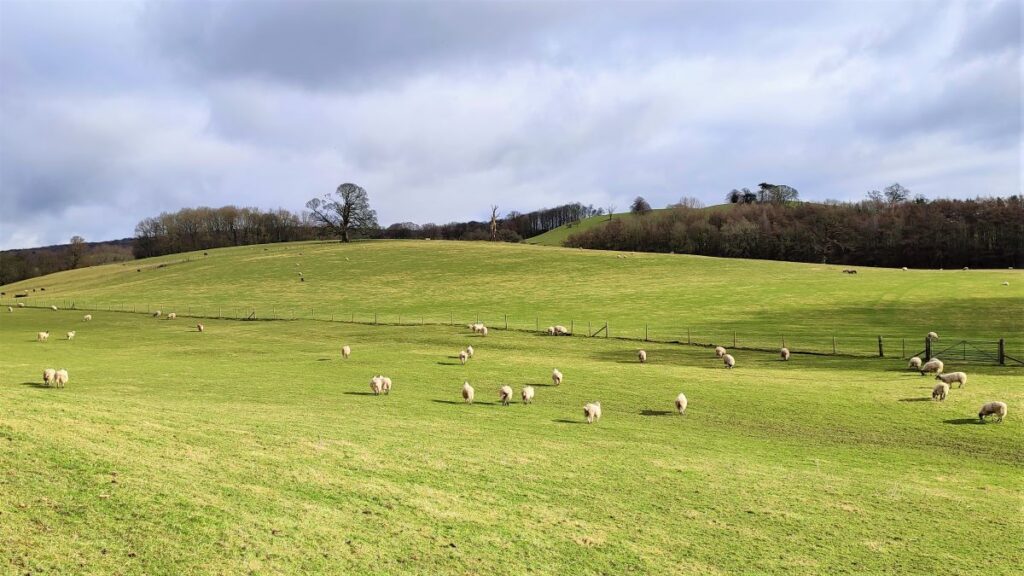
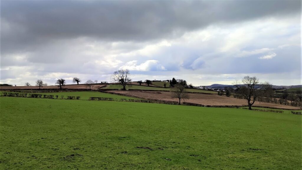
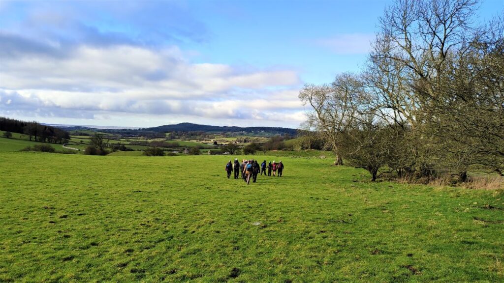
The path now heads slightly to the right following a line of ancient trees with remnants of a wall showing from time to time: At this point views across Morecambe Bay start to present themselves.
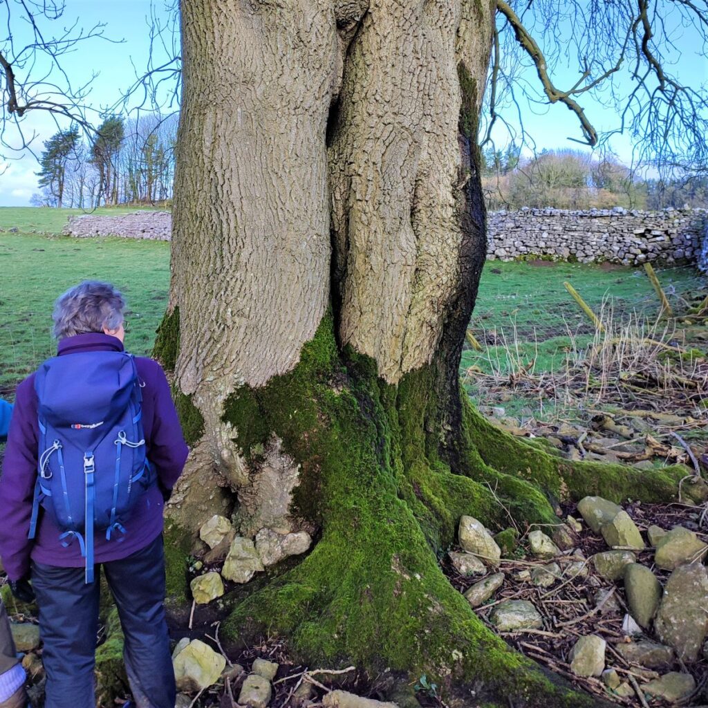
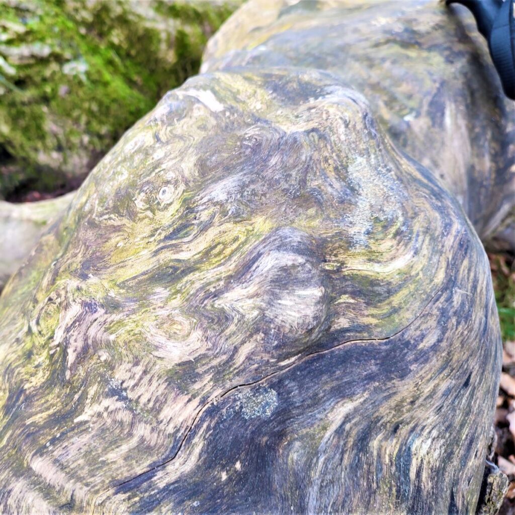
Our next landmark is at the far end of the line of trees – we cross what remains of the old drystone wall and enter the field on the far side next to a tree that appears to be made of two trunks that have merged together over many years.
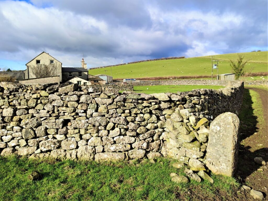
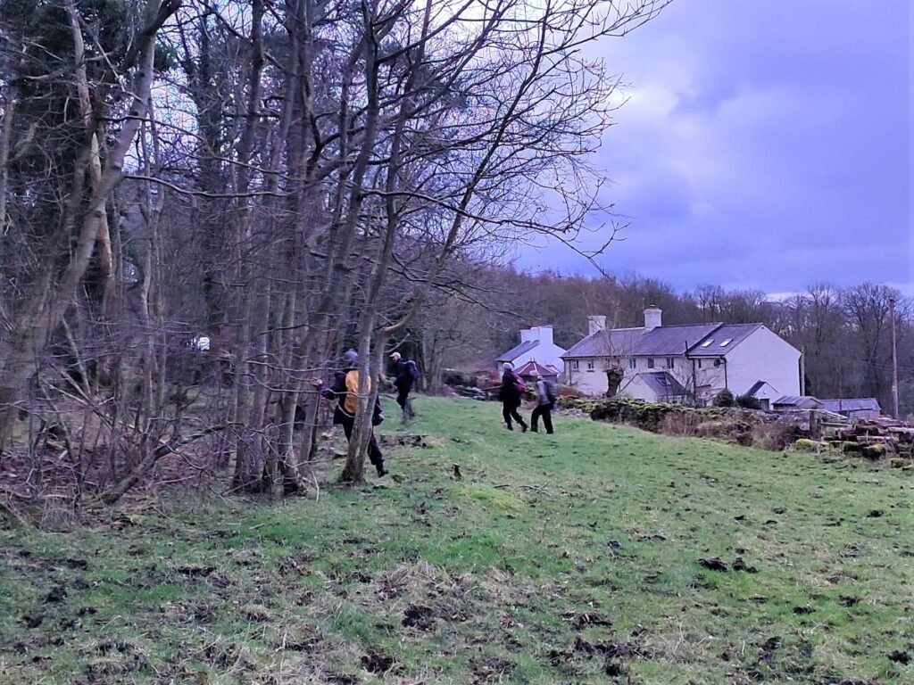
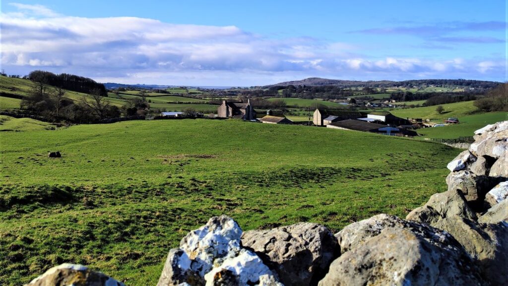
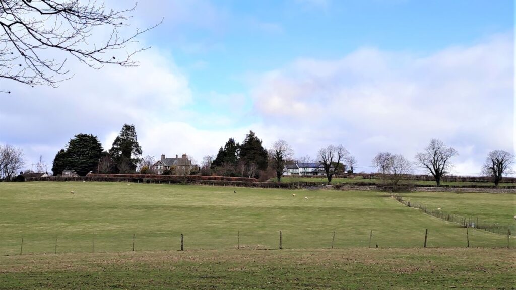
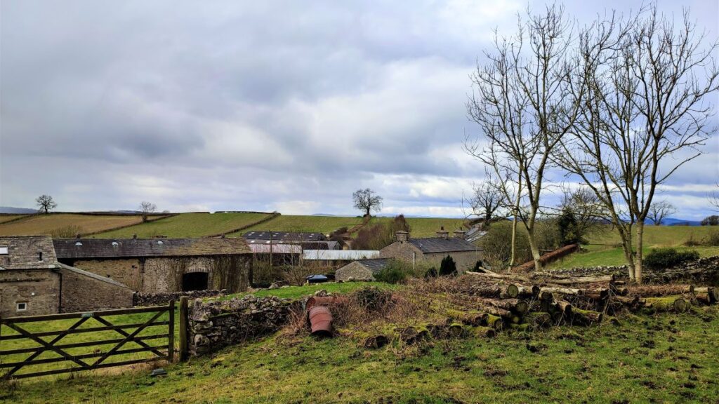
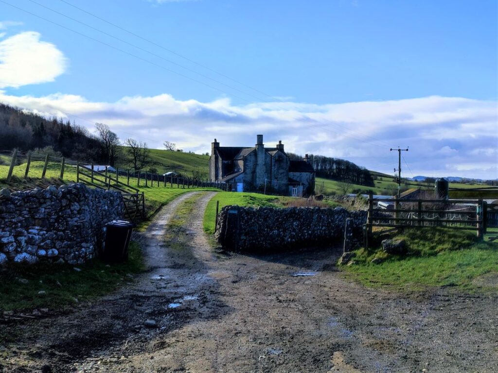
When we enter the far field, we head left – initially along a drystone wall, but soon picking up a track which leads down to Dalton Old Hall, and Dalton Old Hall Farm.
The hall is grade II listed, and probably dates back to the mid-17th century, although additions and alterations have been made at many stages since then. One interesting feature that has been retained is the round chimneystack that often characterises Cumbrian buildings.
The path continues between the Hall (on the left) and the farm (on the right) and then heads Southwest with a gentle slope to our left.
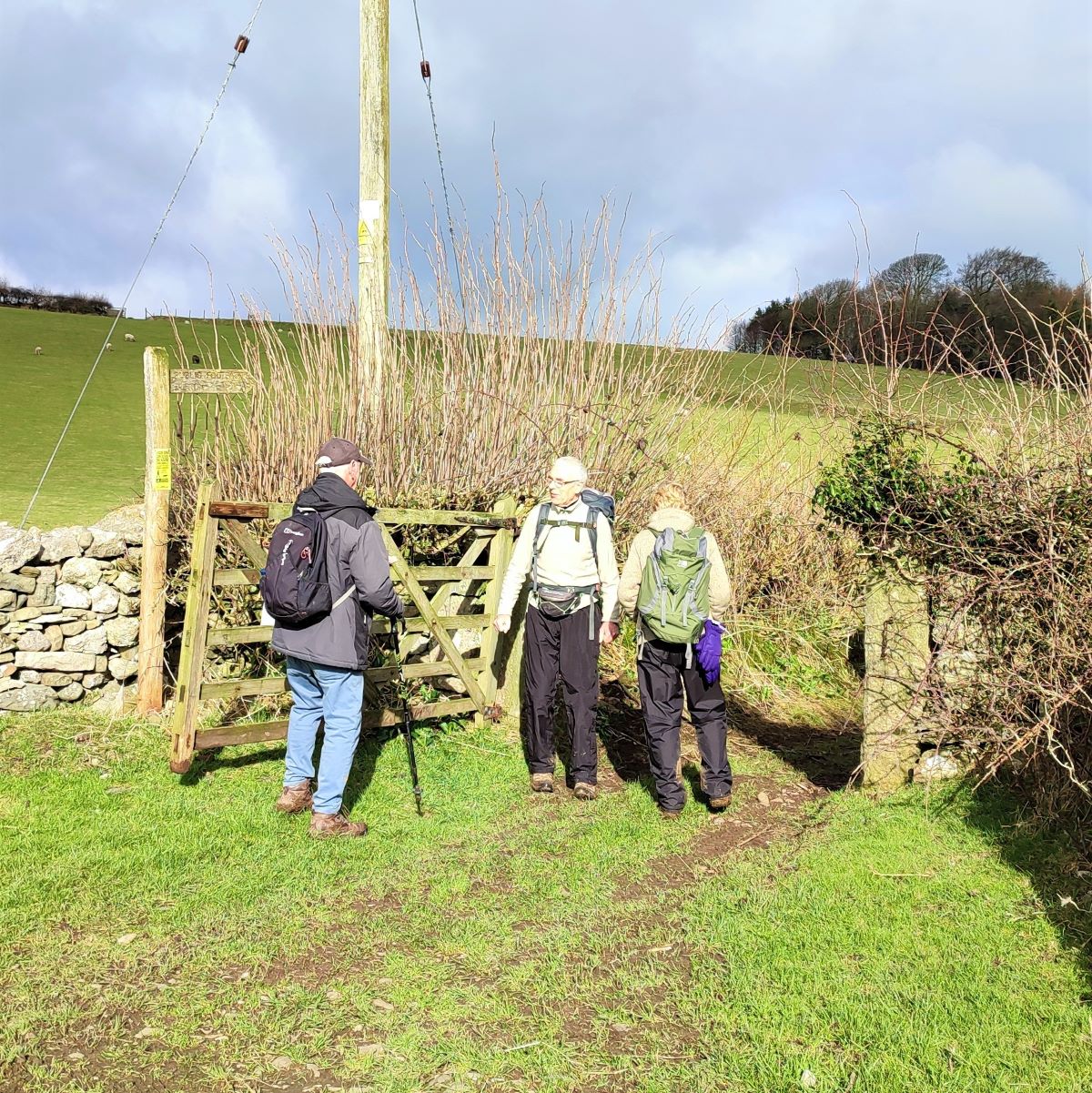
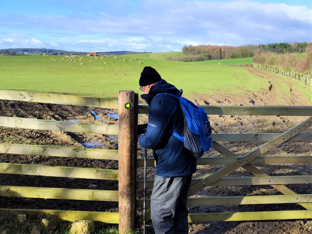
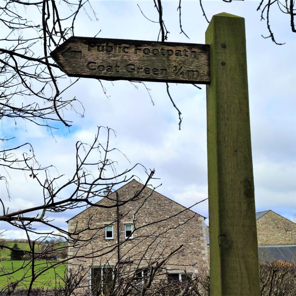
A little further along we see a wooden gate on the right with a footpath marker highlighting the path over to Coat Green. The path runs along the right hand field boundary, but this area can be quite muddy, and some improvisation may be required in respect of the detailed route.
As we follow the path around the field it veers to the left and we follow a drystone wall and a lovely line of old trees, until the farm buildings at Coat Green come into view. We head toward the farm, and soon meet a track which passes the front of the farm buildings. We head right, ignoring the path to the left which goes to Priest Hutton, and then walk around the front of the farm – the buildings should be on our left.
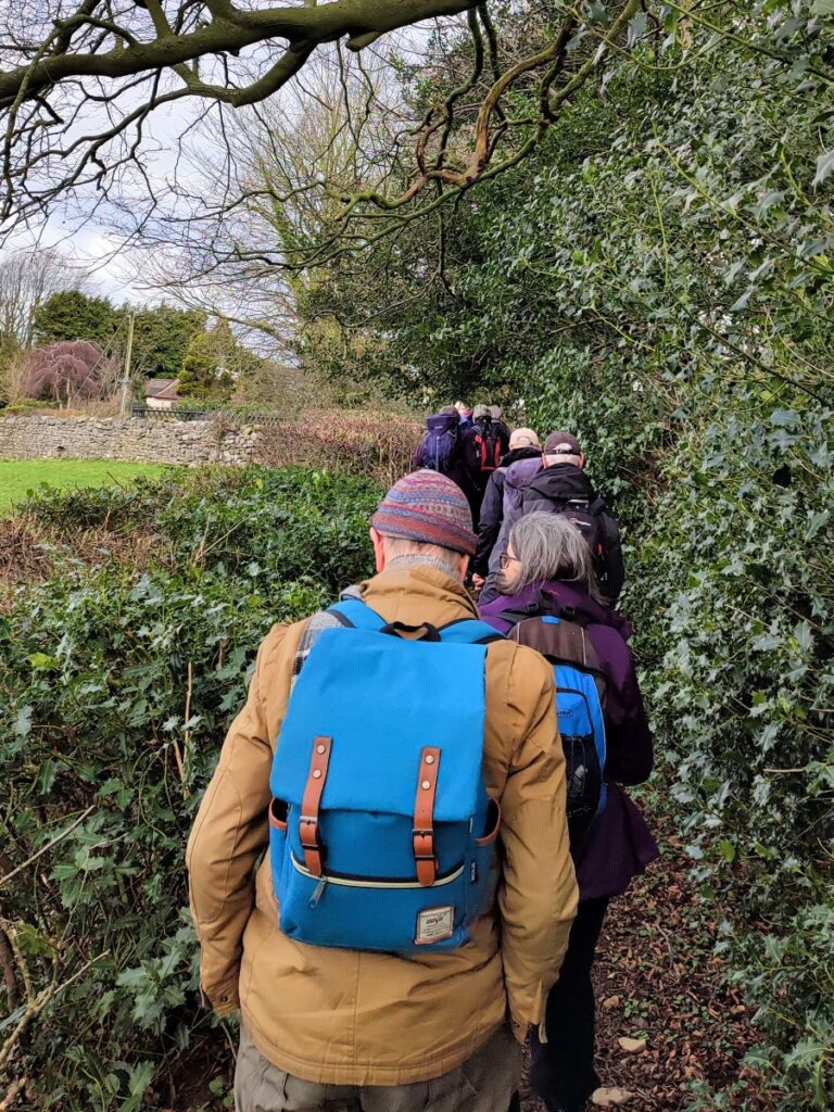
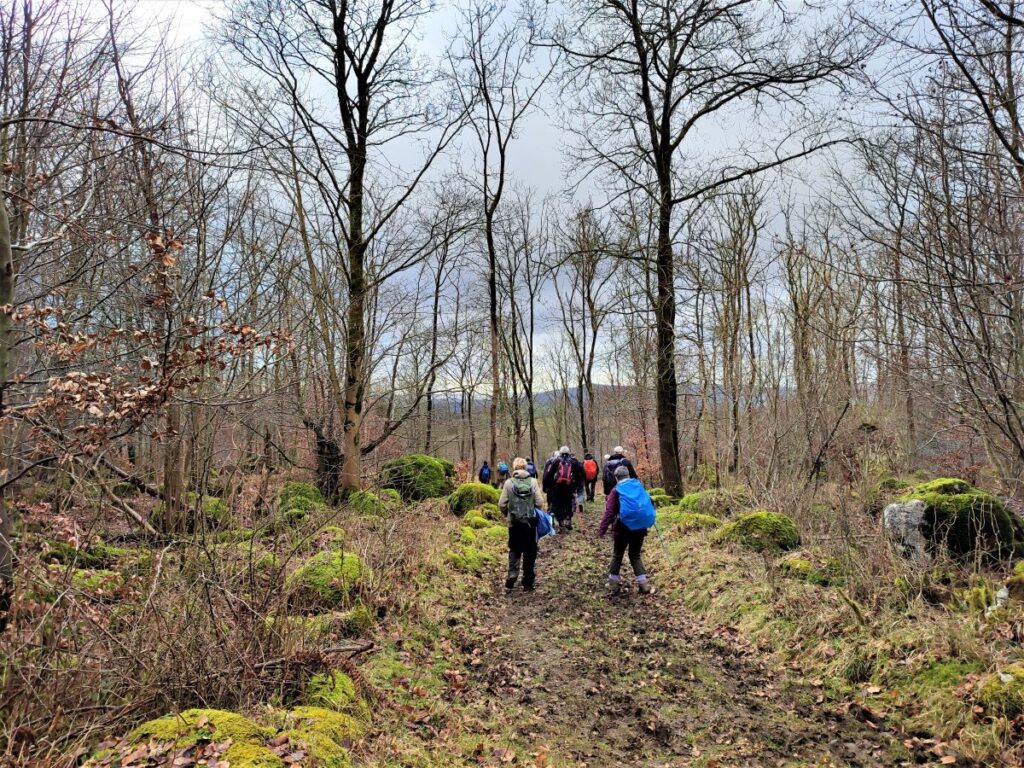
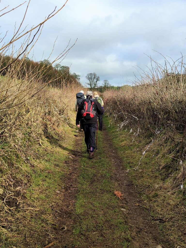
We soon see a footpath signposted on the right which takes us onto a green lane – this is a sharp change in direction, and we are now heading North, following the green lane up toward to some woodland ahead. The path skirts the woodland – which is separated from the right of way by fencing; but there a few pleasant trees on “our” side which present a good opportunity to take a break.
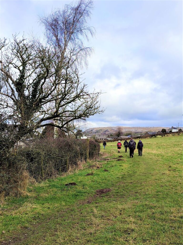
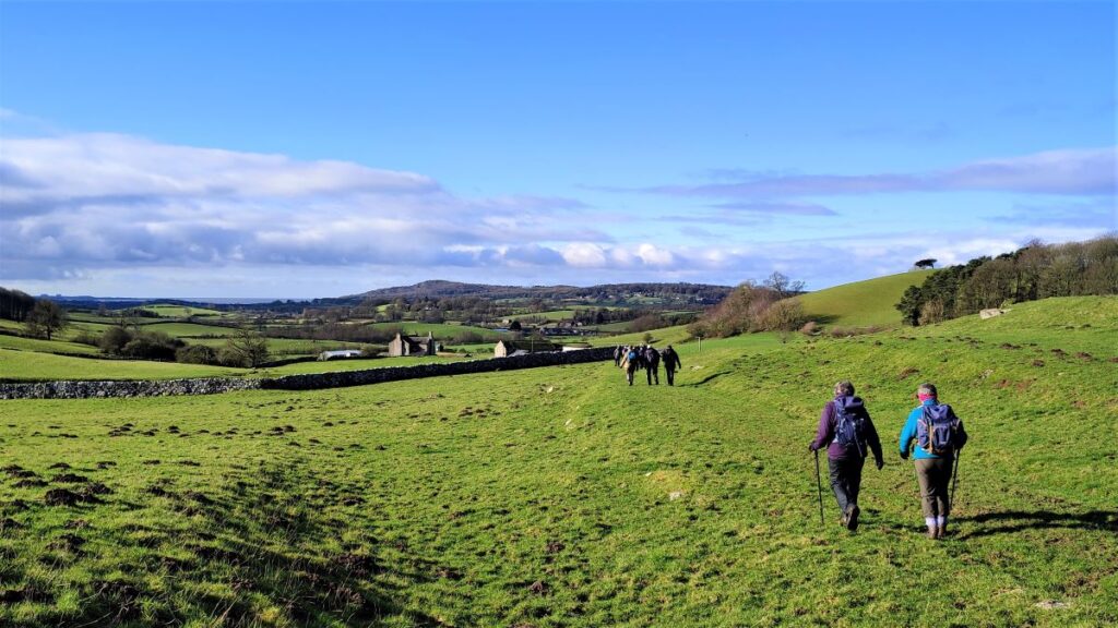
We now continue onward, with the path moving slightly round to the left and heading first toward two large houses and then the right hand edge of a stand of tree. Just beyond the trees, we continue along a clear route up toward Dalton Lane and the edge of Burton-in-Kendal. We walk a narrow path adjacent to some woodland, and then when we reach the road, turn left and walk down to the junction with the A6070.
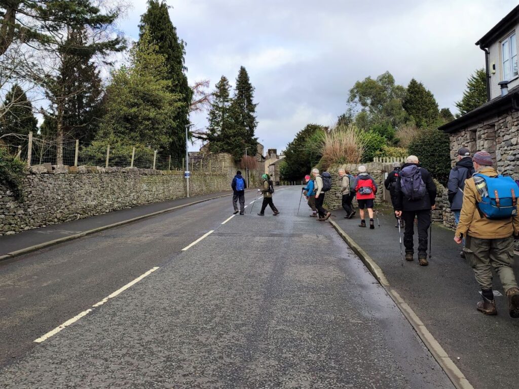
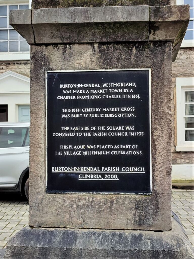
At the main road we head right and walk into the village centre where we find a central square with rather attractive Georgian houses clustered around the market cross.
We take a path at the far left hand side of the market Square which exist between the houses onto green lane which rises out of the village. The population of the village is round 1500, and no doubt one or two know what dog pooh bags are for.
Some way up the lane, the path forks; the route to the right goes back to Dalton Lane, but we take a sharp left and walk along the back of the houses until we meet a minor road – this is another route from Burton over to the hamlet of Dalton – after which the Crag is named.
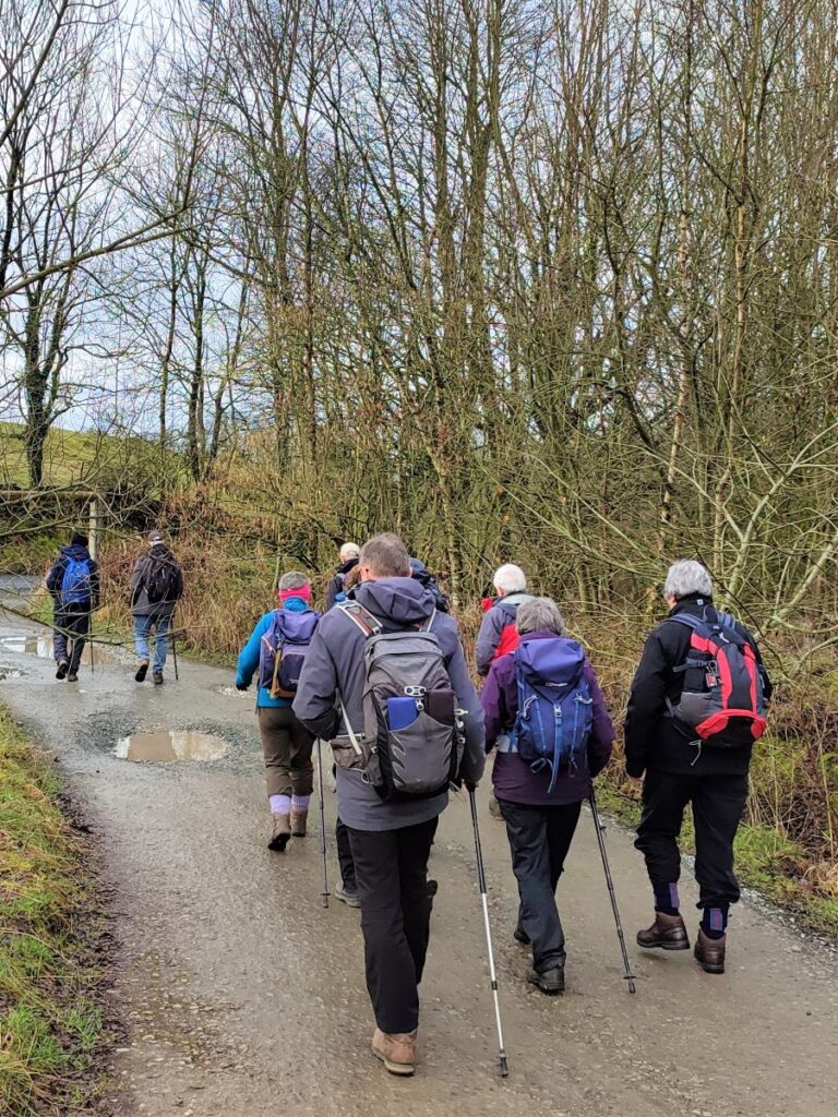
We cross the road and find a green lane almost opposite – this is where we head pausing to enjoy the views over the Lakeland fells, before taking the track (called Slape Lane) behind the houses and uphill to Pickles Wood.
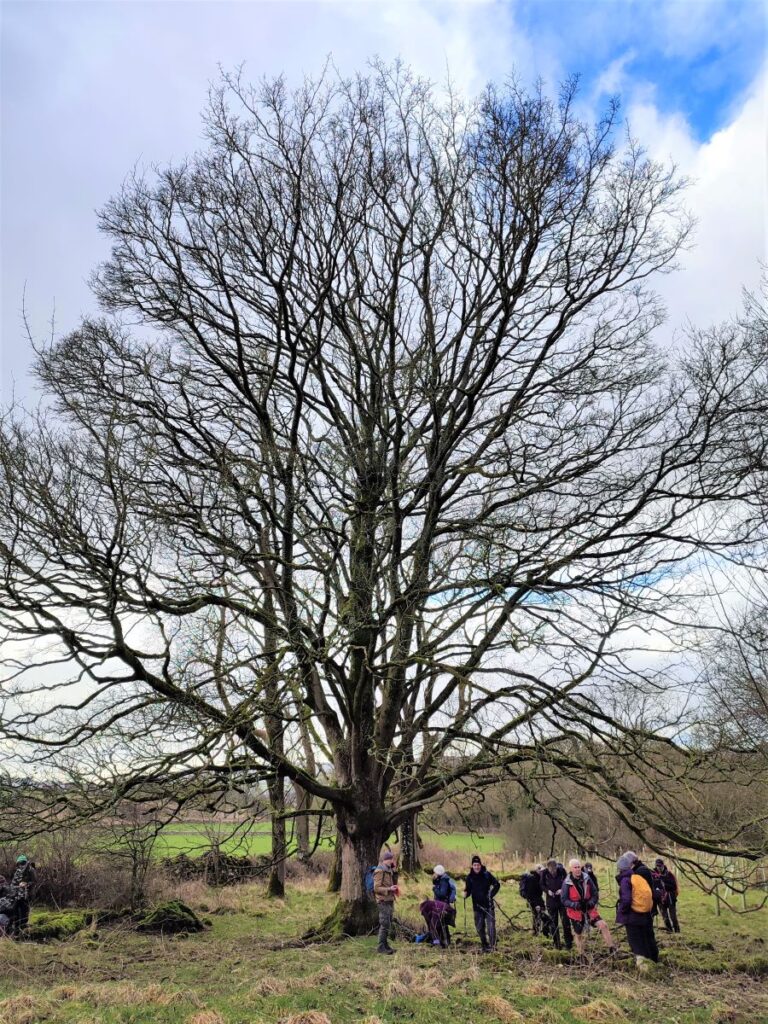
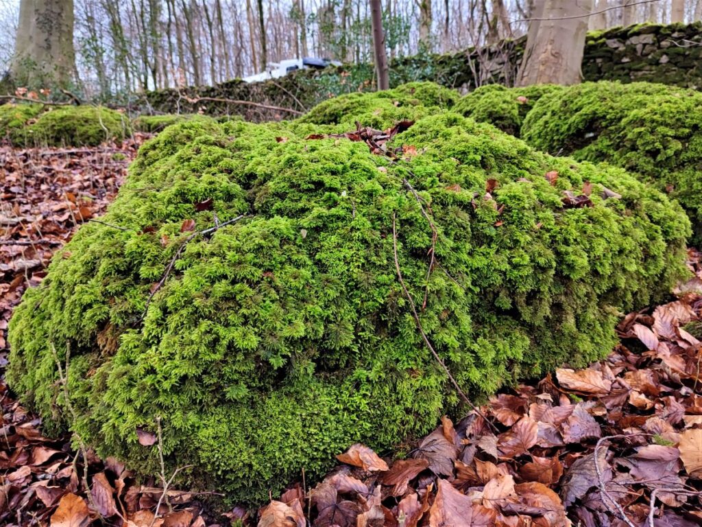
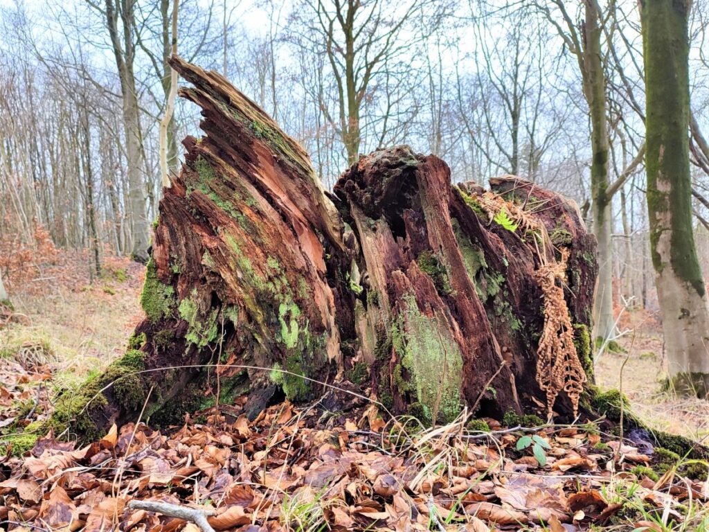
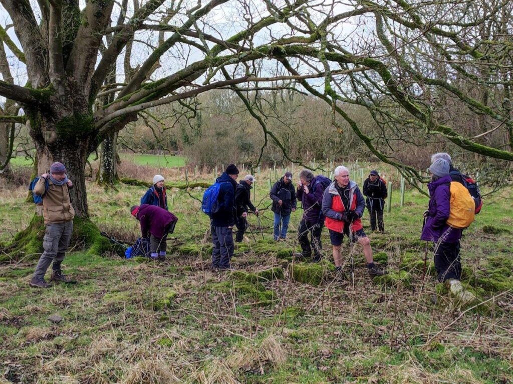
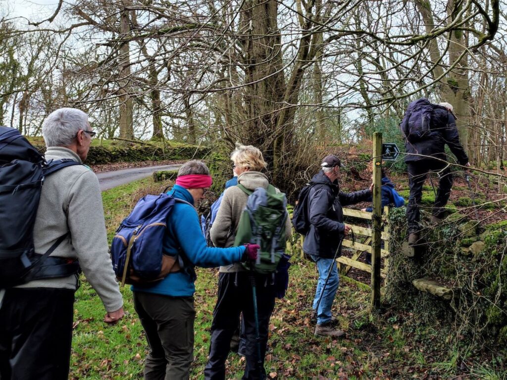
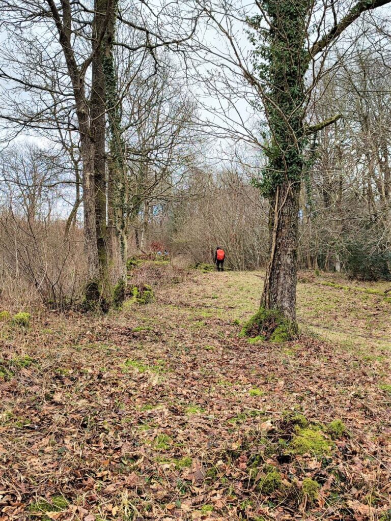
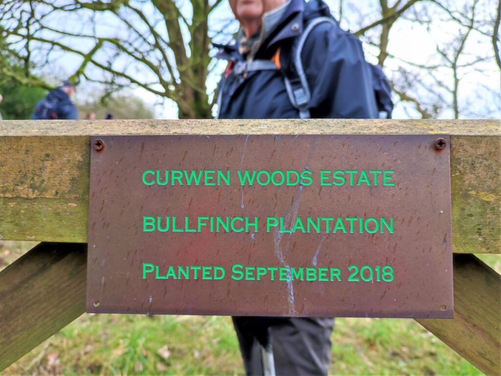
We keep an eye open for a gate on the right which gives us access to the Bullfinch plantation and enter a flat area with logs and rocks that provide a good place to stop for lunch.
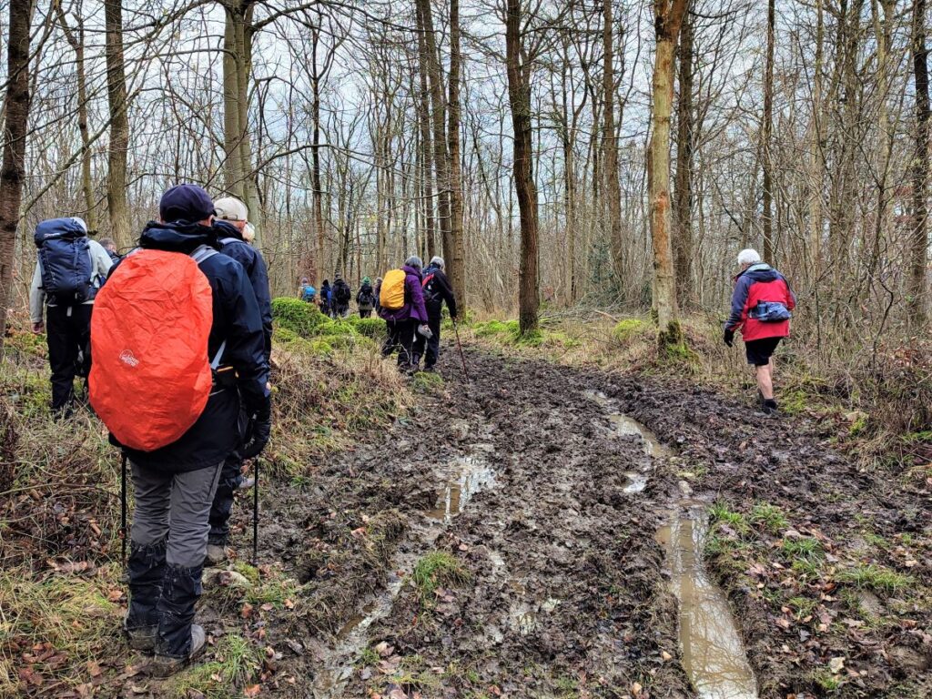
From here we head South keeping the drystone wall on our right to find a gate at the far end of the field, and just beyond, we see a second gate over to the left leading into the woodland tracks. There are a great many tracks to chose from in the woodland – some more “official” than others so we recommend using GPS to keep to the right route.
Our path leads South East and rises gently to meet an unusually tall gate – presumably deer proofing to protect the young trees from damage.
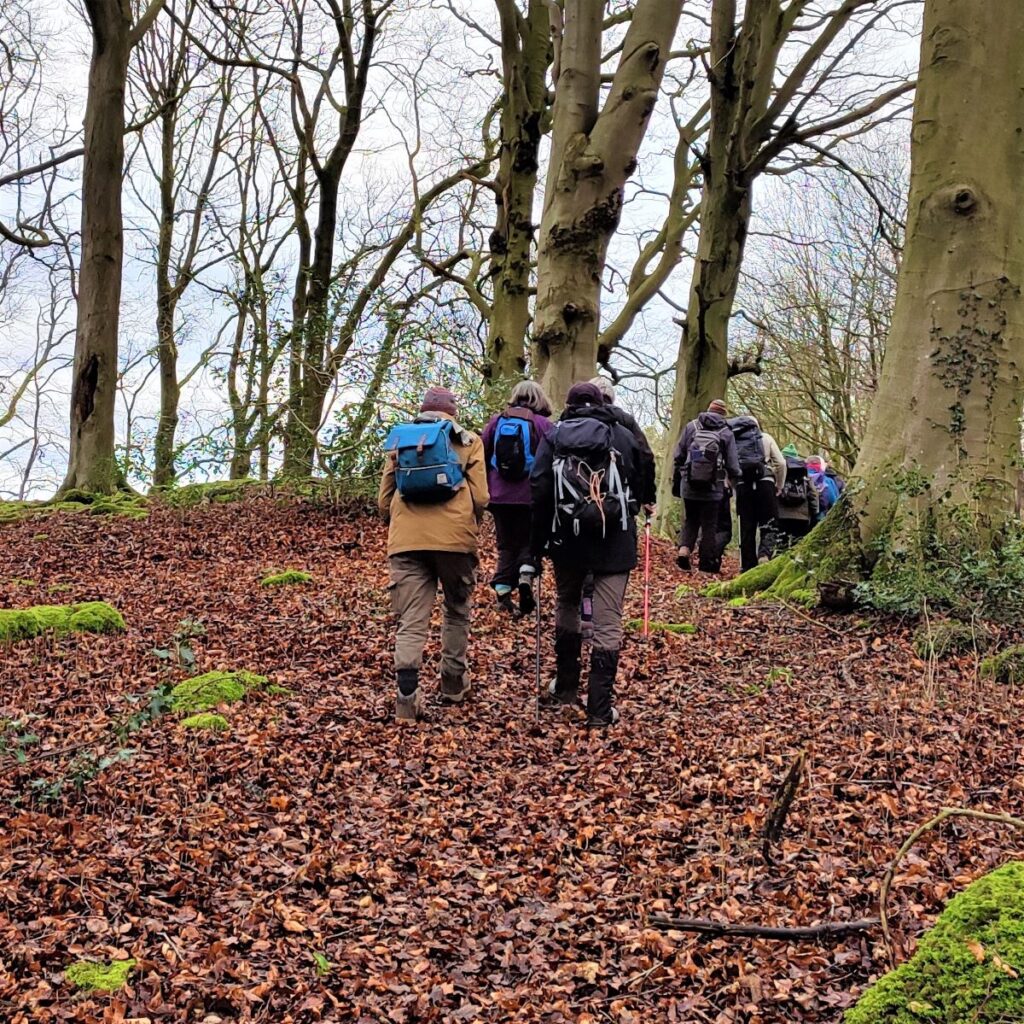
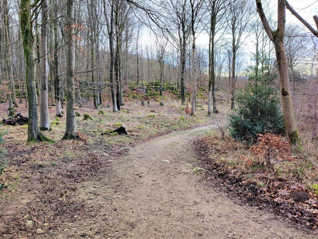
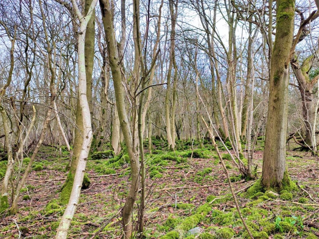
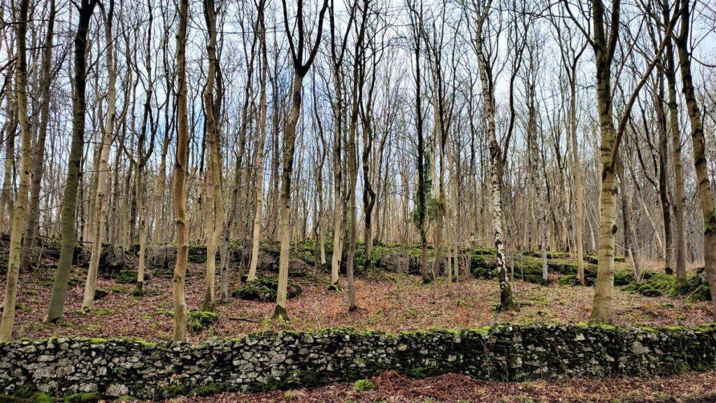
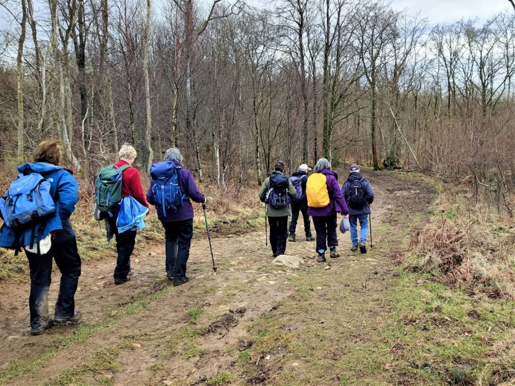
The path soon merges with a broader track which bends round to the left as we start to climb more steeply. We stay on this track for a little while now, until we arrive at a T junction where we go right, to head South taking a track which first follows the contours then heads downhill toward Dalton. We are now in Storth Woods, and as we follow the path downhill, we see a drystone wall come into view at the edge of the woodland. The track follows the wall down almost as far as the road at Dalton.
We don’t go as far as the road though, instead we head sharp left and head back into the woods following a track that bends round to the left as it rises uphill.
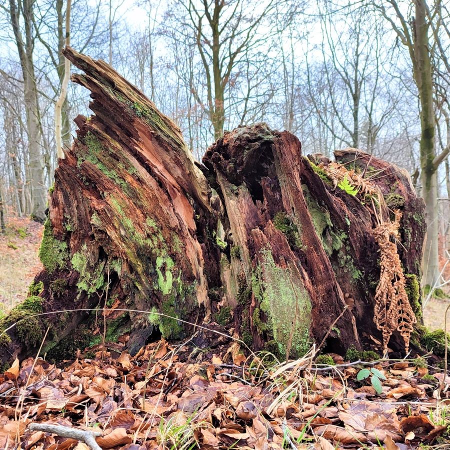
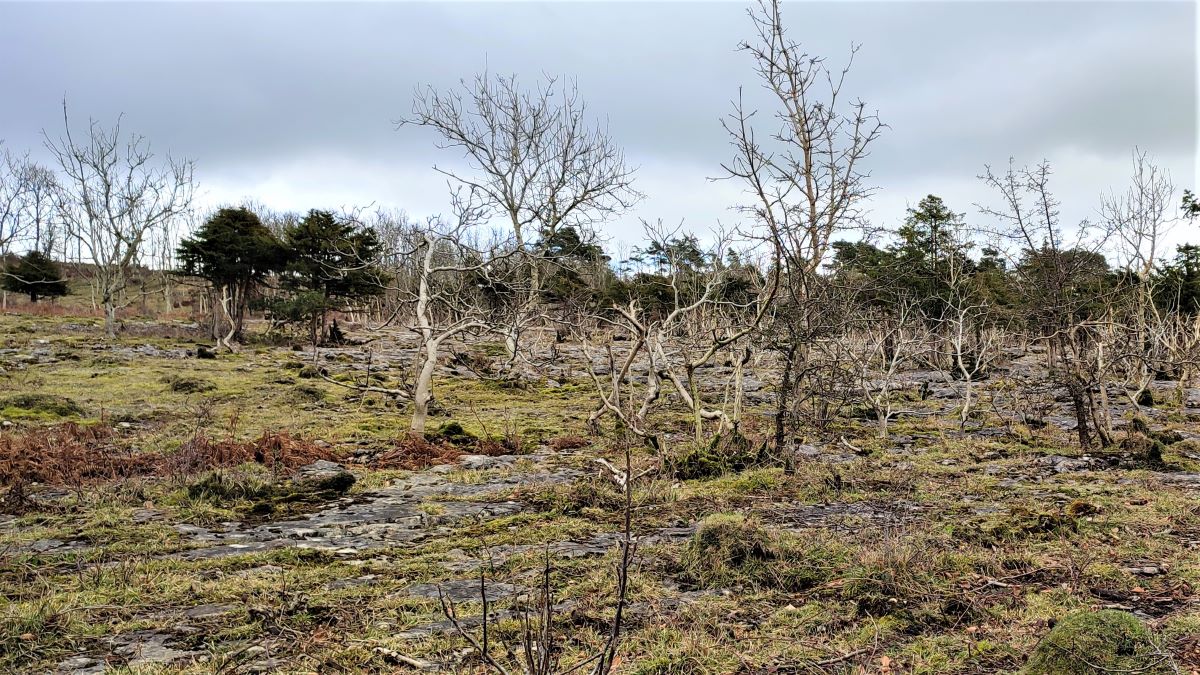
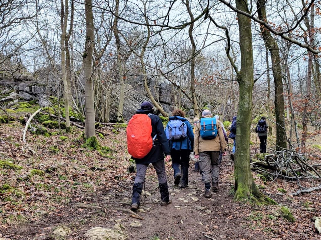
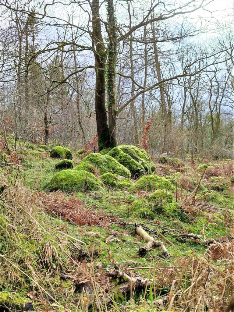
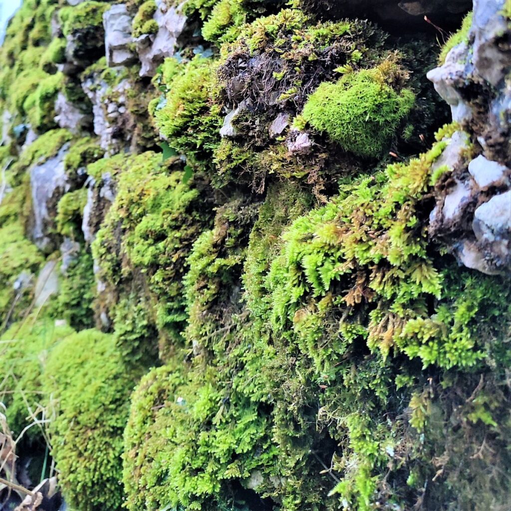
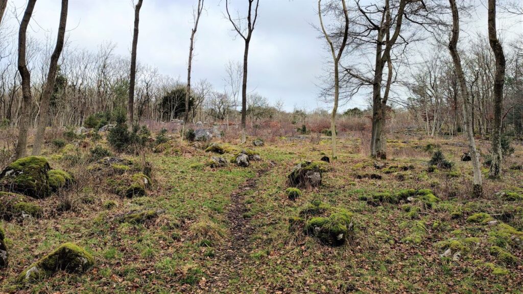
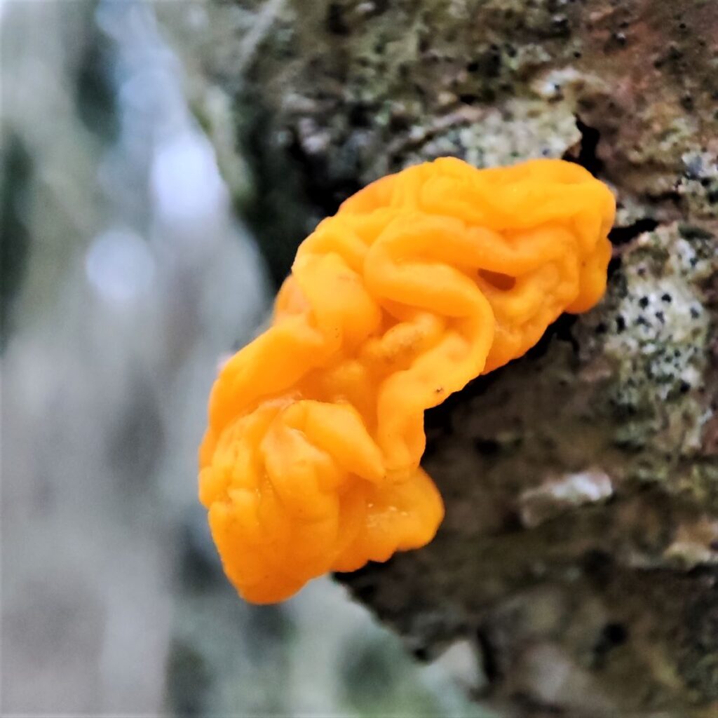
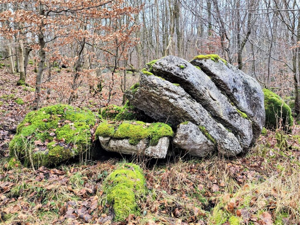
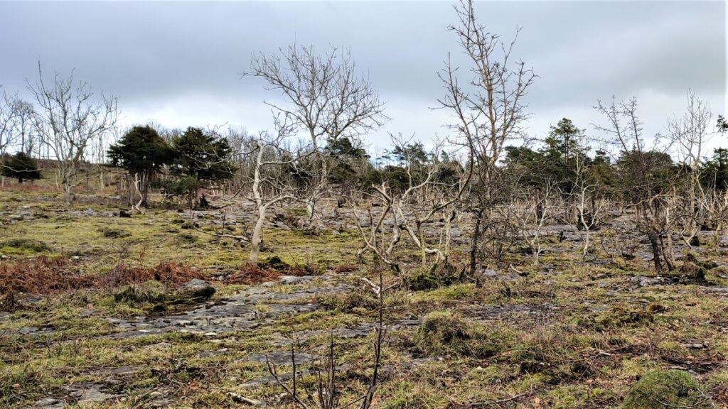
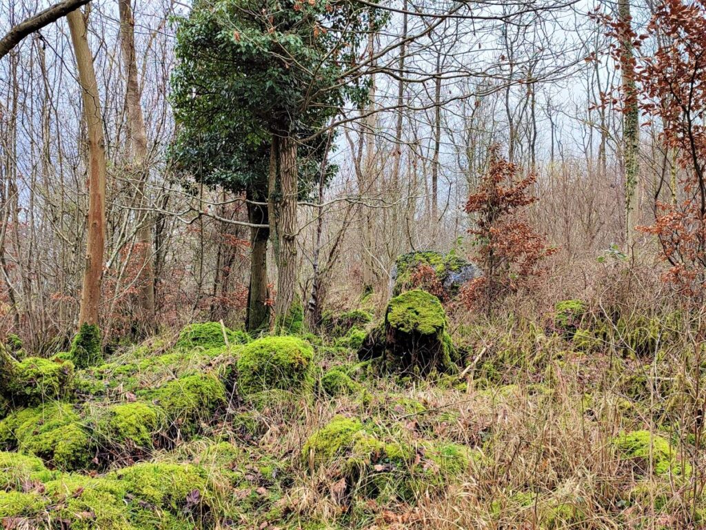
We meet a T-junction where we head right, and then at a second T-junction we strike out straight ahead, off the track and now on informal paths., to head uphill to a clear forestry track where we initially head left and uphill to view the limestone pavement at the base of Dalton Crags. The hardy saplings growing from the grykes (the fissures in the limestone) present a bleak but still very attractive landscape.
We now turn round and head back downhill on the track, following it until it takes a sharp right turn, and at this point we head off the track and take a smaller path such that our direction is unchanged; we are heading southeast.
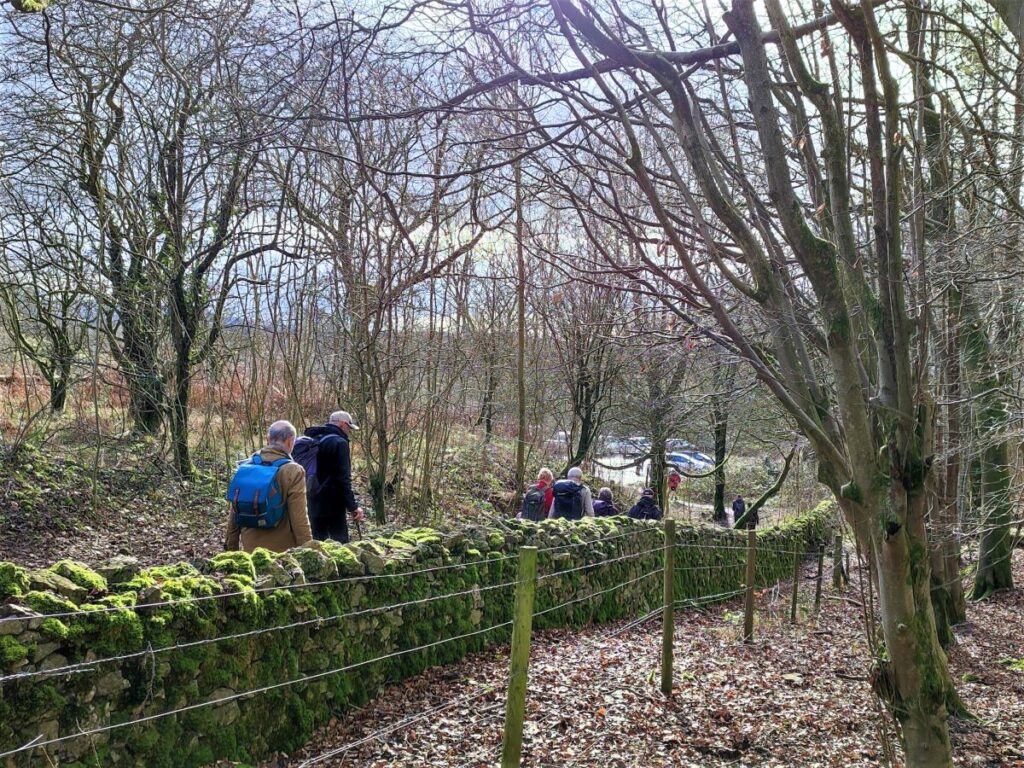
We follow this path for a while now until it reaches the edge of the woodland with the car park in view, and we realise that this is the path we saw at the start of the walk. We follow it down to the carpark and the walk’s end.