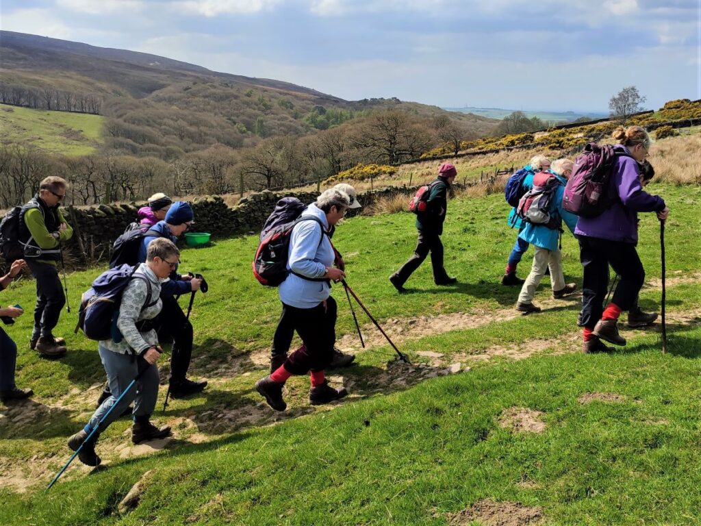
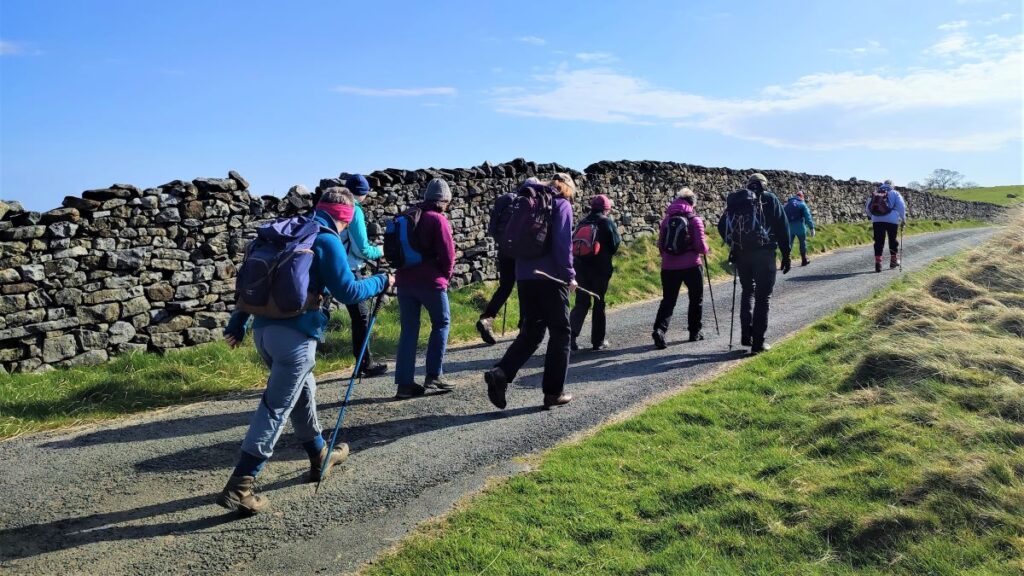
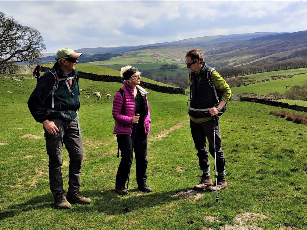
Bentham is a great place to live – particularly for those who like walking: We have access to the Yorkshire Dales, the Lake District, and as we see in this walk, the Forest of Bowland.
Of that trio, the Forest of Bowland is the least visited, so it’s possible to find a quiet walk with unspoiled countryside, without seeing anyone else all day.
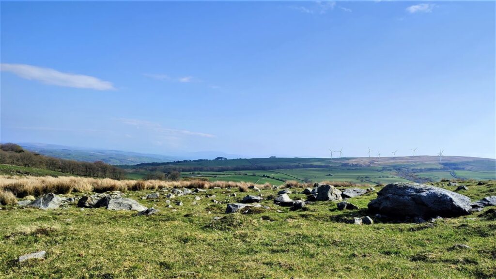
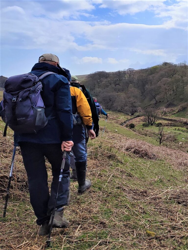
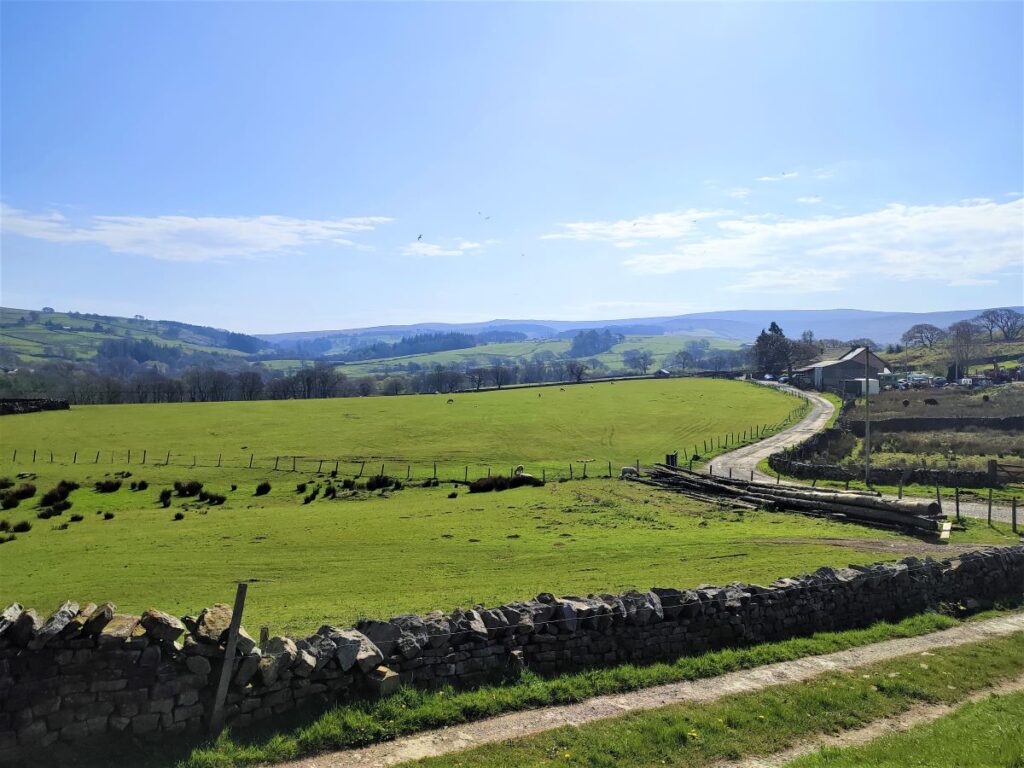
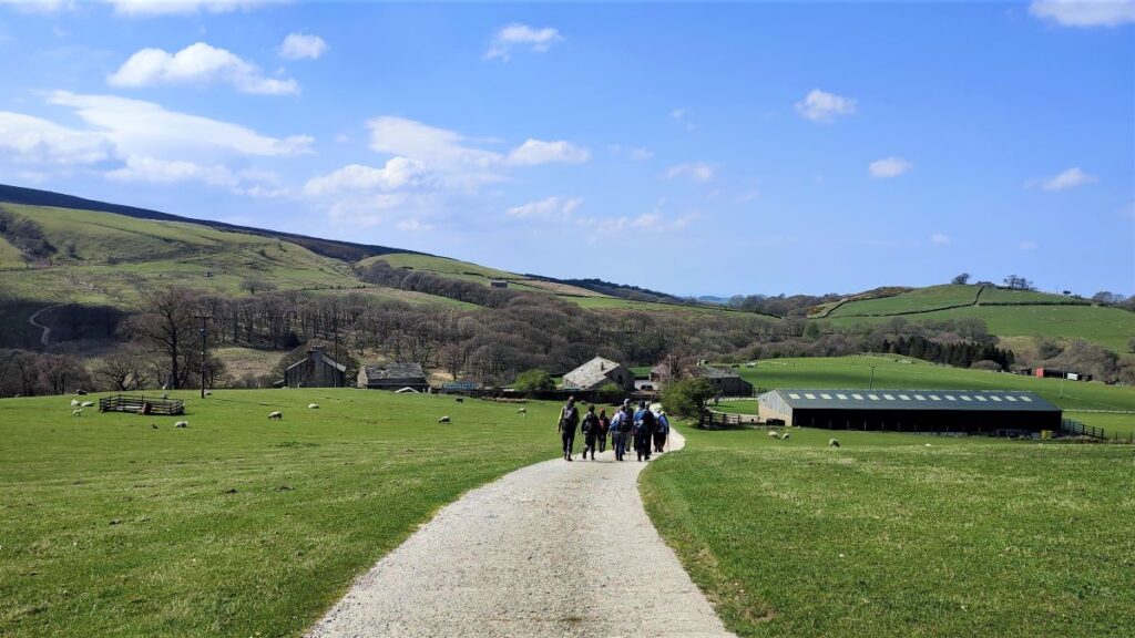
This easy, but interest-filled walk starts from a free car park at Little Cragg outside Brookhouse. The high farmland here offers great views over Morecambe Bay to the Lakeland Fells, before we drop down and cross the Udale Bridge, then climbing up to Crossgill with Caton Moor on our left and Littledale Hall on our right.
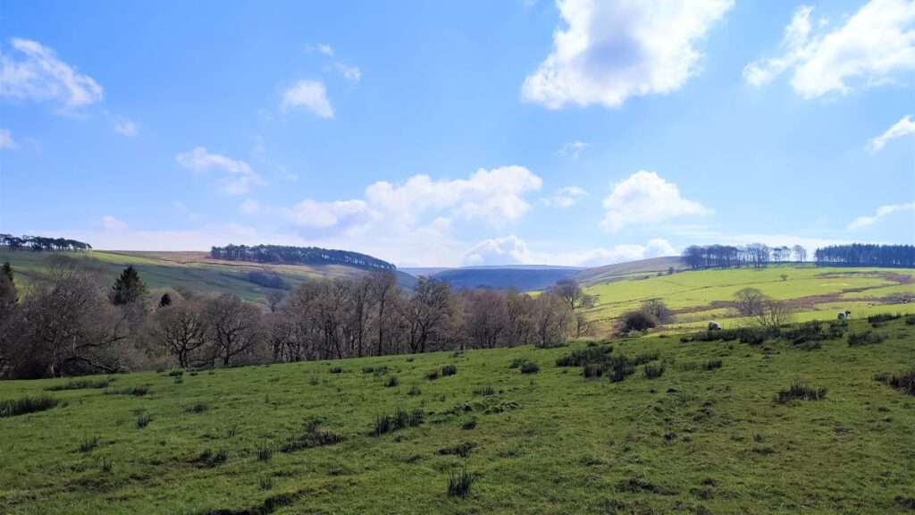
We head up one side of the valley at high level and then descend to the river (Closegill Beck) to return at low level, before exploring the woodlands next to the Hall and then heading back via Littledale and Sweet Beck to Little Cragg.
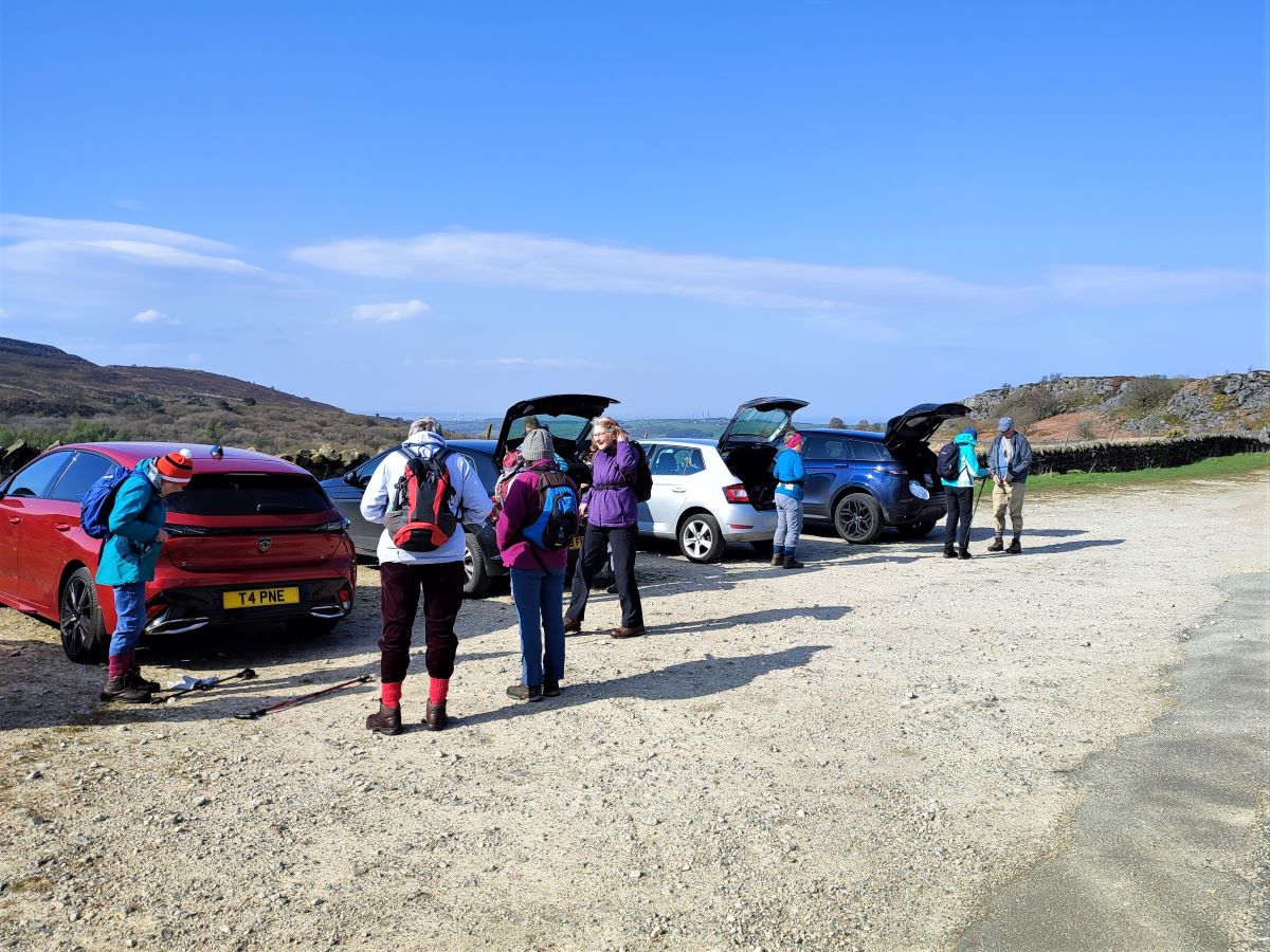
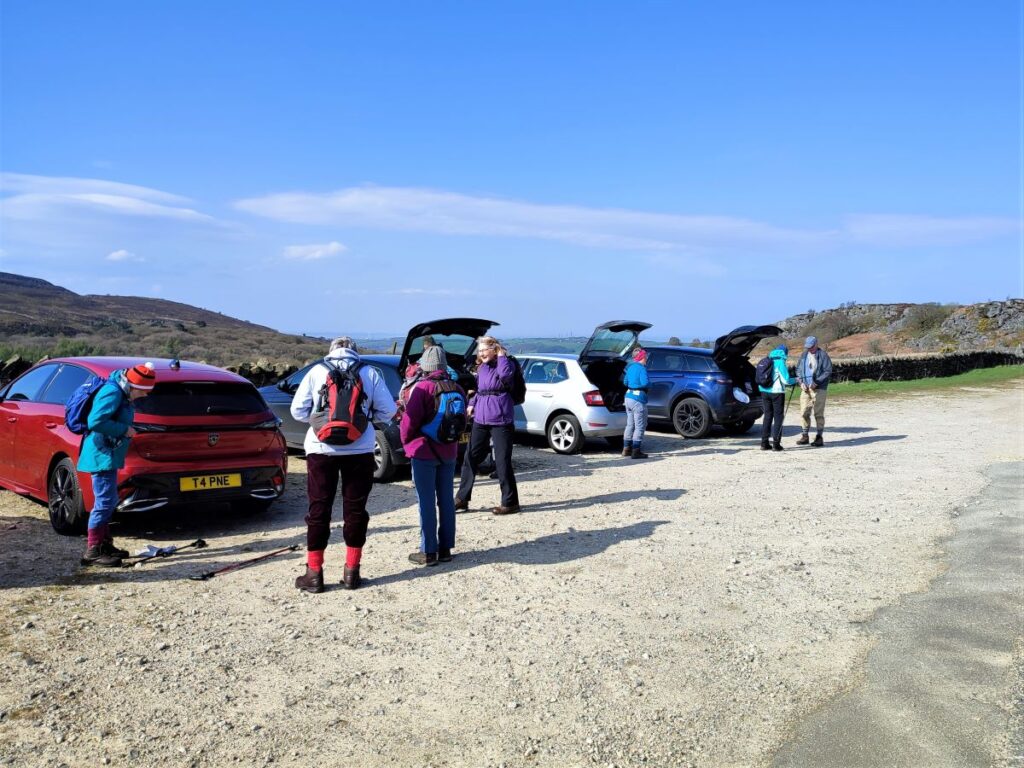
We start at a free car park at Little Cragg. This is a really convenient facility, but despite being so close to the main road network is a little difficult to find – largely because every road in the area seems to be called Littledale Road.
The simplest way to find Little Cragg is to take the Brookhouse Road from Caton at the A683. At the Black Bull pub in Brookhouse take the Littledale Road uphill out of the village.
Stay on this road until you arrive at a crossroads at New House Farm. We go right there, and downhill to cross the Udale Bridge – following signs for the Scout Camp. After the bridge, stay on the same road – the car park is at the top. If you are using satnav to get there then be prepared for Littledale Road to be problematic – there are just too many of them, so perhaps try LA2 9ET as a postcode (the one listed for Potts Yeats farm), then use the What-3-Words tag quote.besotted.pointed to pinpoint the car park. The corresponding OS grid reference is SD54576179.
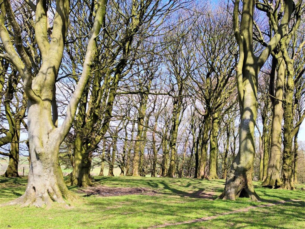
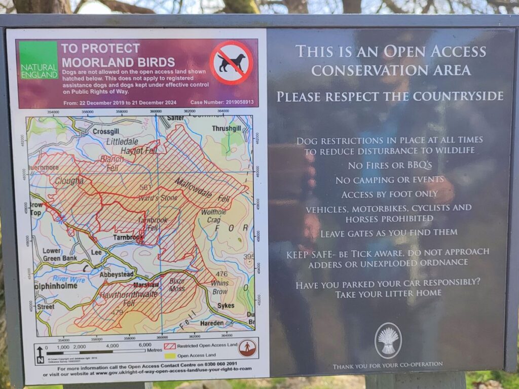
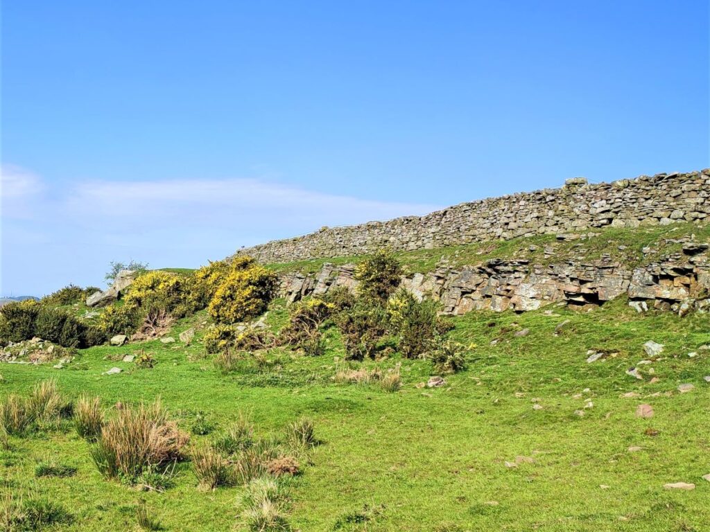
From the car park, we initially head back the way we came, taking a moment to view the information board for the Forest of Bowland, and to enjoy the views over Morecambe Bay to the Lakeland Fells. If you are standing at the information board looking ahead, then the woodland to your left is Calf Hill Wood, and that to the right is Cragg Wood, and beyond both is Black Fell and Clougha Pike.
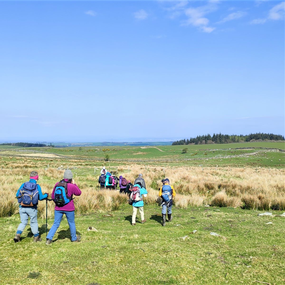
We soon arrive at the cattle grid where we turn back sharply to the left so that we are walking diagonally across the field opposite where we parked. The signage for this route was damaged at the time of the BFG walk, and has been reported, so take care not to miss this turn.
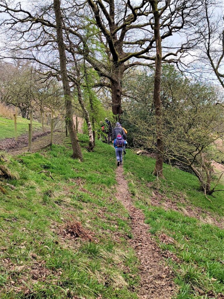
The route through the field is not particularly clear, and the land can be boggy when wet so you may have to improvise a little to find the best way across, but in general, head for the left hand edge of the stand of trees in the distance.
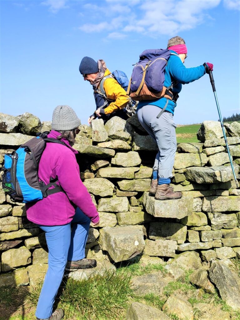
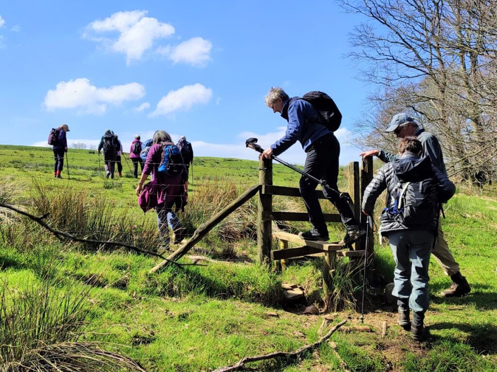
We continue in this direction – taking the stiles to cross the drystone walls – until we arrive at a farm track at the far left end of the field. There is a path continuing ahead which skirts round the rocky outcrops of Baines Cragg, and then goes via a disused quarry back to the road. Feel free to explore that if you wish but come back to this point, because our path turns back and takes the farm track east to the farmyard at Pott Yeats.
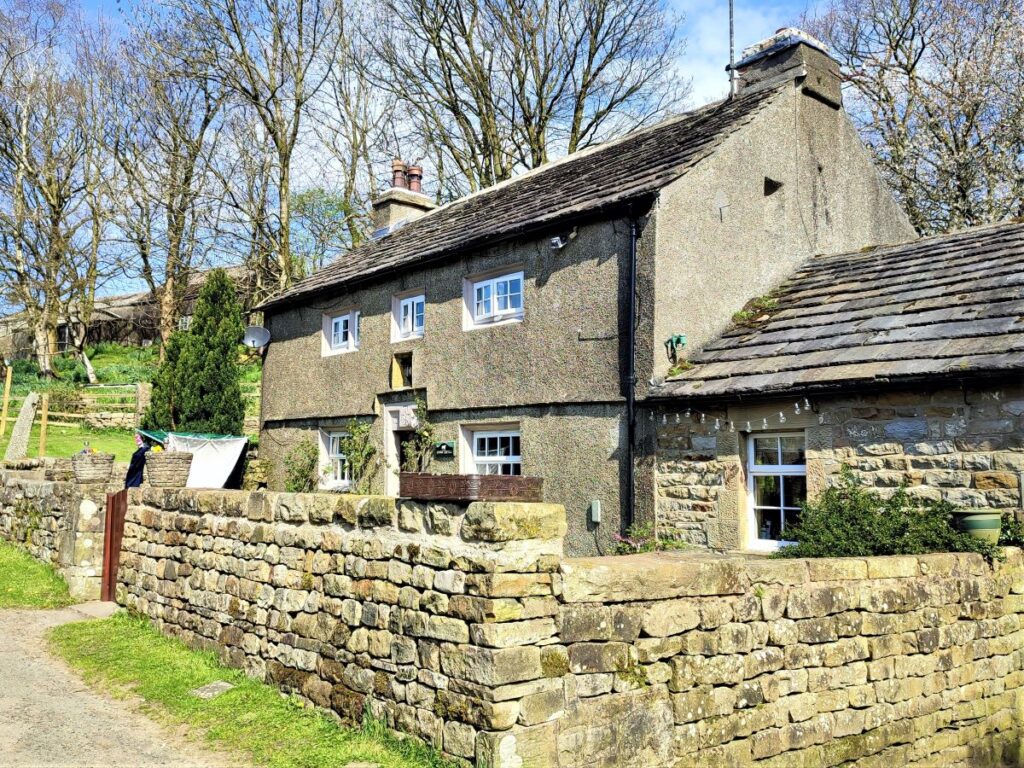
The farmhouse here is a Grade II listed building, and dates back to the 17th century when it was used as a Methodist Meeting place – the church in Brookside was not built until much later – the house was extended and remodelled in the 19th century so has a date stone reading “F-1856”.
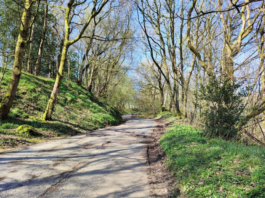
The path continues through the farmyard and then downhill back to the road, where we turn left and follow for a while.
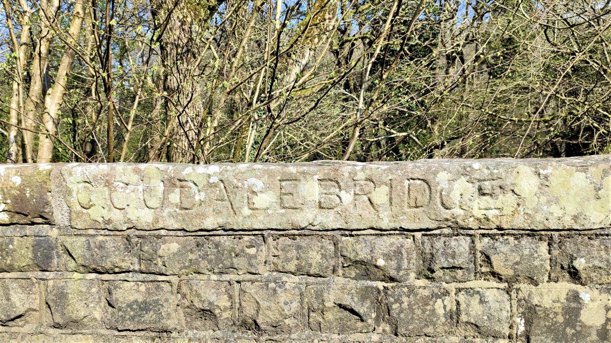
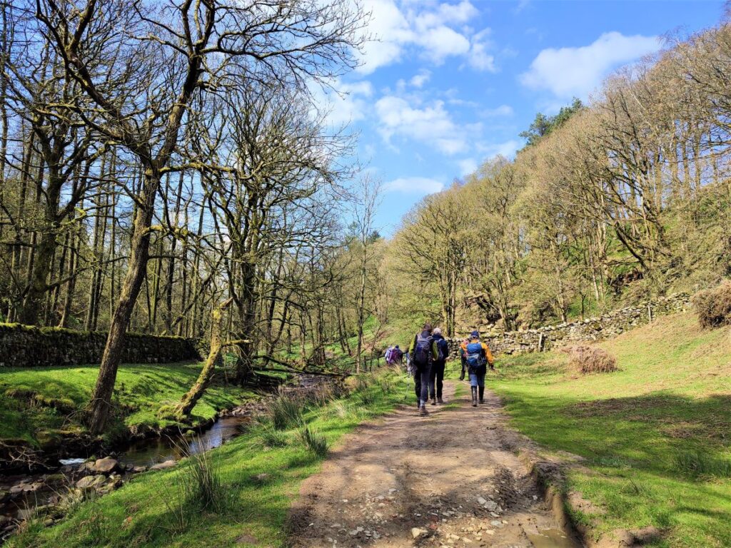
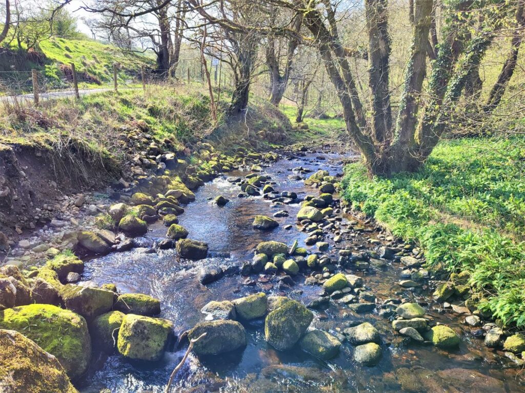
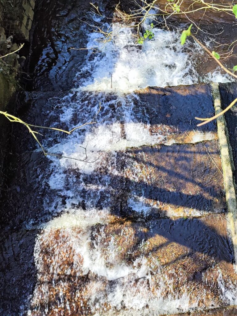
The road drops downhill and takes a sharp right turn to enter woodland before arriving at the Udale Bridge. The stream underneath is referred to as both Udale Beck and Artle Beck, the latter being the name used on the OS map despite the inscription on the bridge
Notice that there is a road on the right hand side as we approach the bridge. This is signed as private but is also a public footpath. It goes over to the small hamlet at Littledale – which we pass later in the walk, so if you need to shorten the route or just want to explore, there is the option to head that way and re-join us at Littledale.
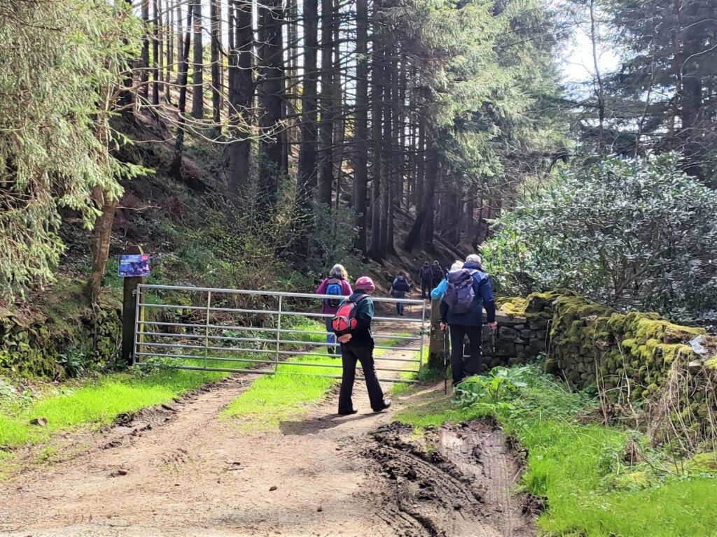
The road now continues and crosses a second bridge – with the entrance to the Scout Camp on our left. This dates back to 1962 – and interesting background can be seen at the Scouts website
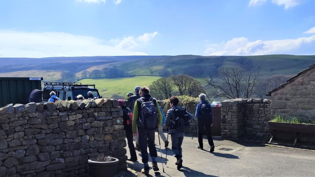
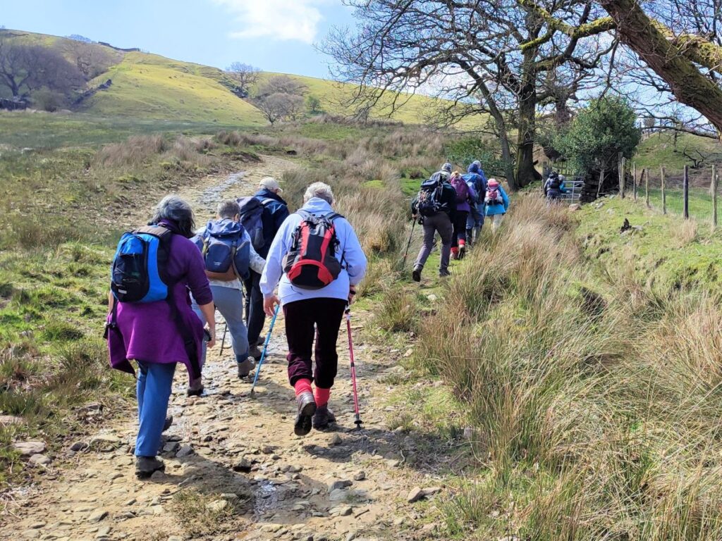
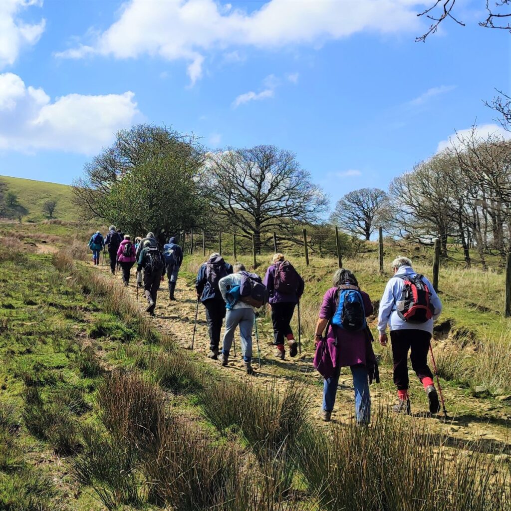
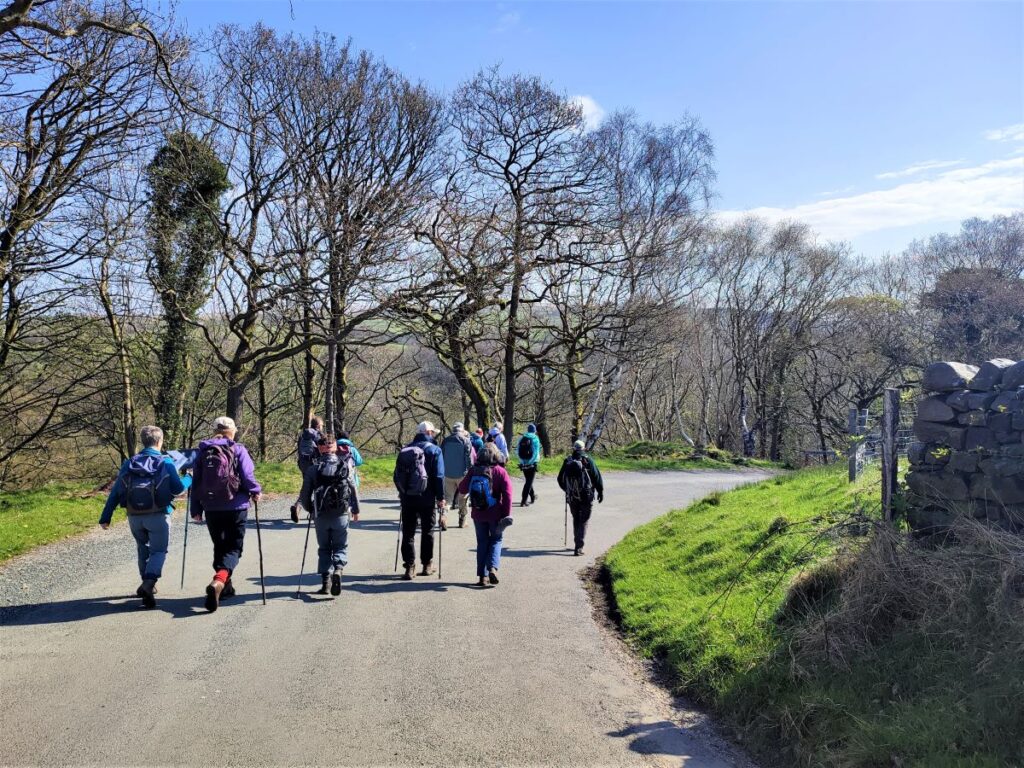
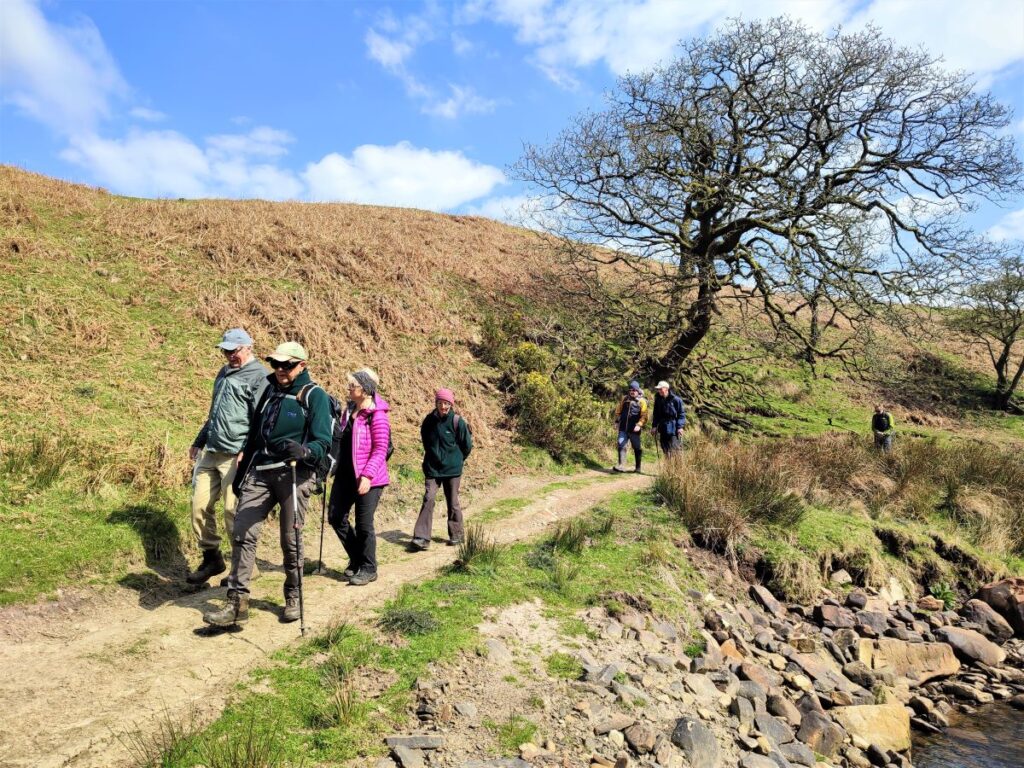
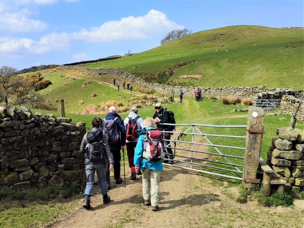
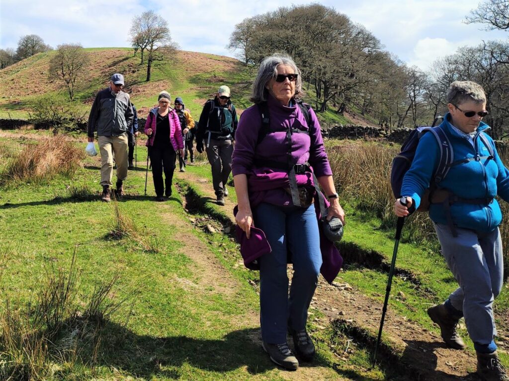
We continue uphill, staying on the road until we arrive at a crossroads, where we head right toward Crossgill. The roads here are very quiet, and only used by the residents of the few houses and farms scattered around, so there will be very little traffic.
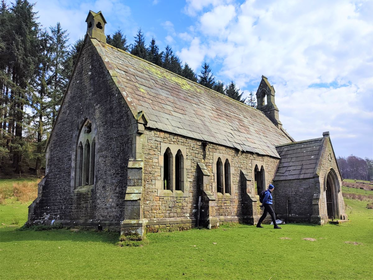
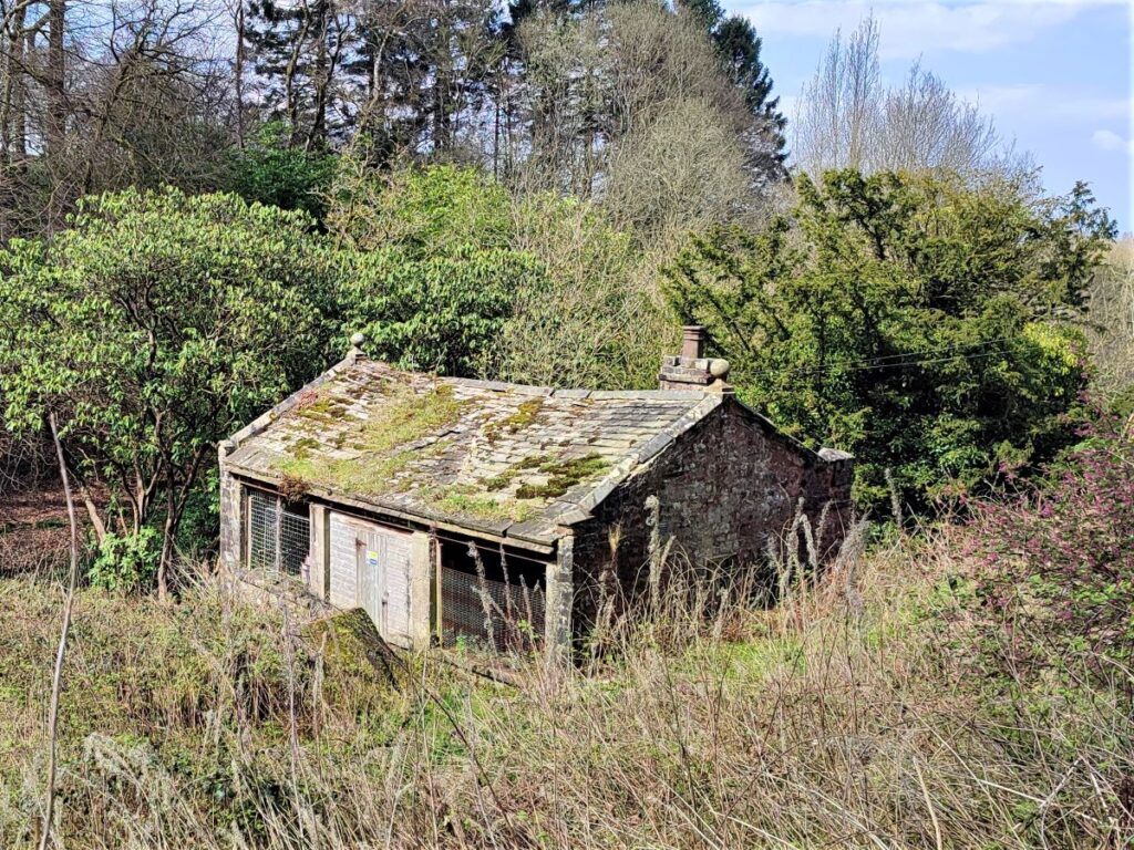
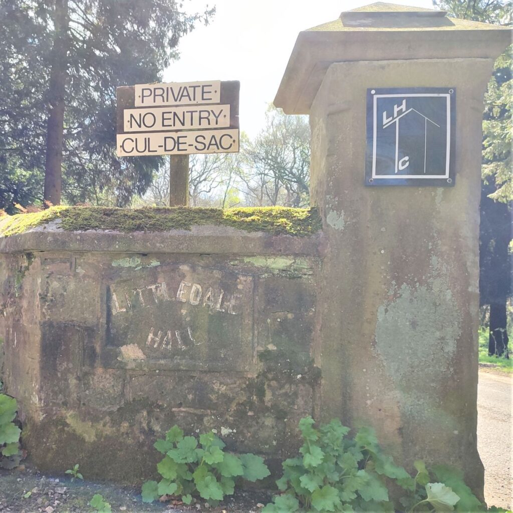
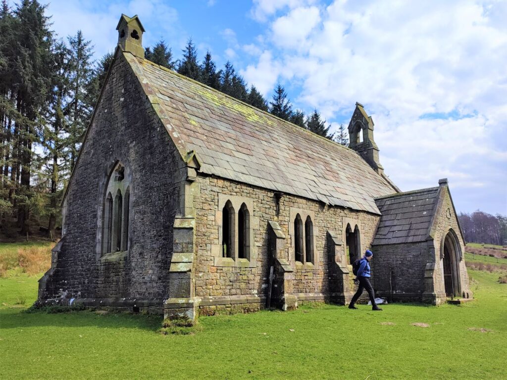
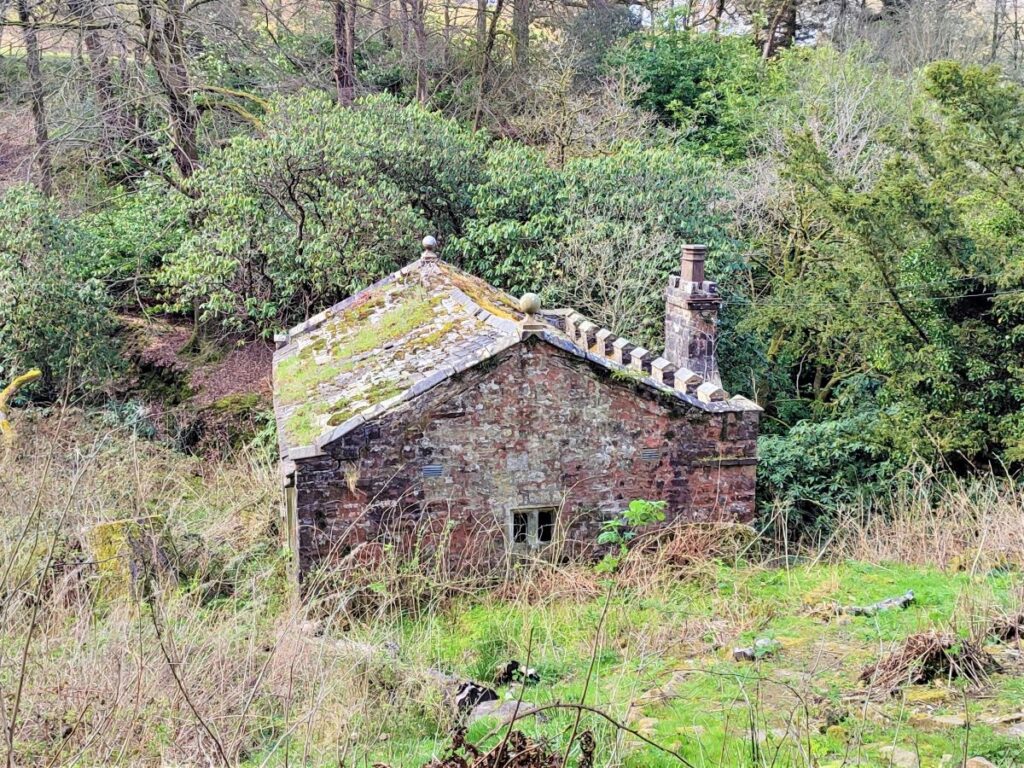
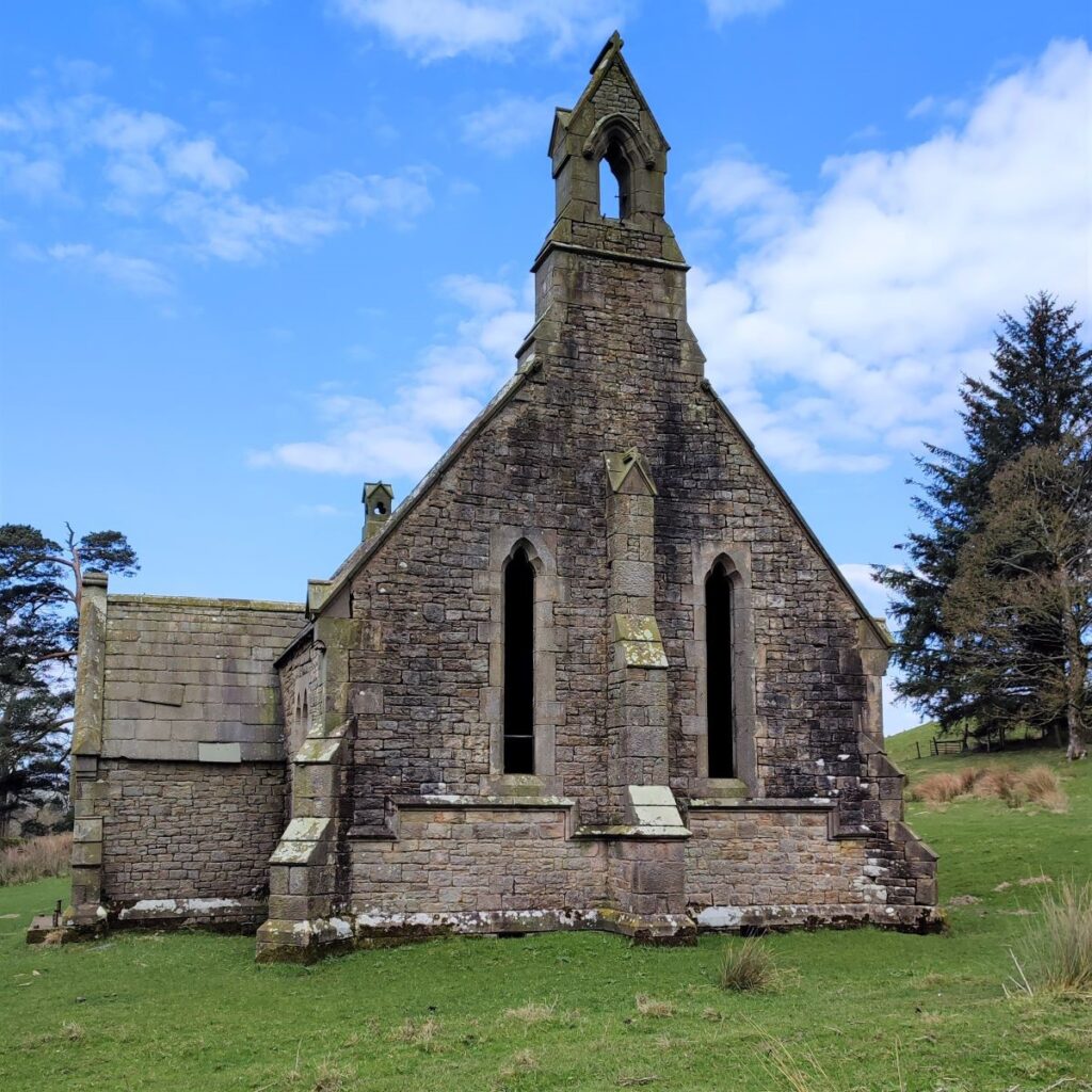
We pass a number of attractive farmhouses along this road, before we arrive at the entrance to Littledale Hall. Ignore this, the road public – and our route – continues just to the left until the road takes a sharp right turn with our path continuing straight ahead. We are on a broad track at this point and continue through the woodland until we see the curious abandoned church – Littledale Chapel, built in 1849 for Reverend John Dodson, at the same time as nearby Littledale Hall – more on that later.
Reverend Dodson, who had been vicar of Cockerham, near Lancaster, from 1835 to 1849 withdrew his membership, from the Anglican Church in protest at an incident known as the ‘Gorham judgement’ and retired with his family to Littledale. He preached in the church for 30 years and died in Sussex in 1890.
What so offended the Reverend Dobson?
George Cornelius Gorham was a vicar in the Church of England, who applied for a new position as vicar of St. Peter’s Church in Bramford Speke in Devon. He was denied the position because the bishop making the appointment disapproved of Gorham’s opinions on aspects of Baptism. An ecclesiastical court case ensued, and Gorham lost.
Many members of the church were disappointed and angry about both the decision, and how Gorham was treated (costs were awarded against him), and this caused some, like Reverend Dodson, to leave the Church of England and set up their own, free churches.
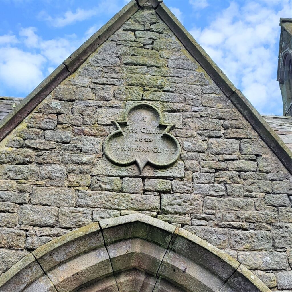
Above the porch is a plaque which reads ‘A Free Church, 1849′. The graveyard of the church only has one gravestone, for which two burials are recorded, one is the vicar, John Dodson, and the other is for his eldest son, John, who died in 1851 at the age of 18.
The lack of gravestones is curious and suggests that the congregation may have been small – in fact it may have been the case that the church had no real function and was a statement from the family at Littledale Hall rather than a genuinely needed place of worship. For a fuller explanation of the Gorham Judgement, take a look at this wikipedia page
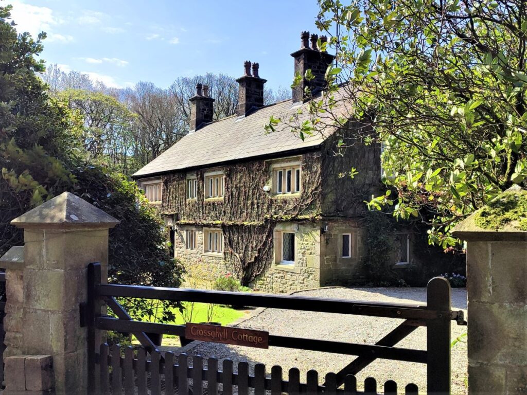
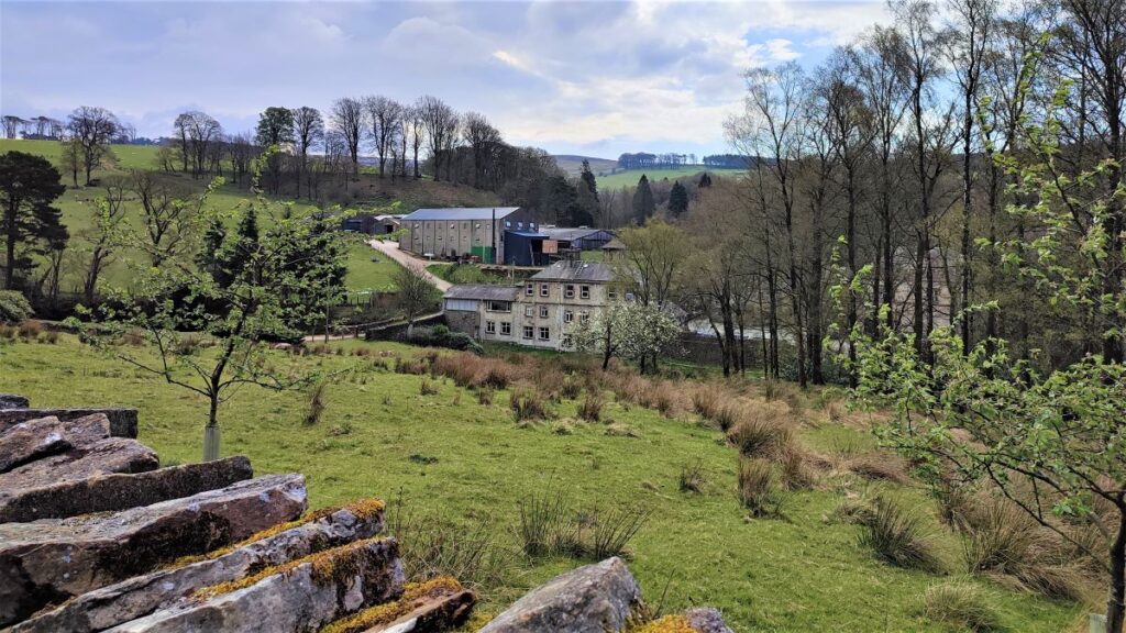
The track continues past the chapel, and soon we see Littledale Hall on the right in the bottom of the valley, with a track down to a bridge over the river. Our path continues along the valley side at a high level for a while – we do cross the bridge near the Hall later on, so again, if a shortcut were required or adverse weather were causing problems, this is a potential option.
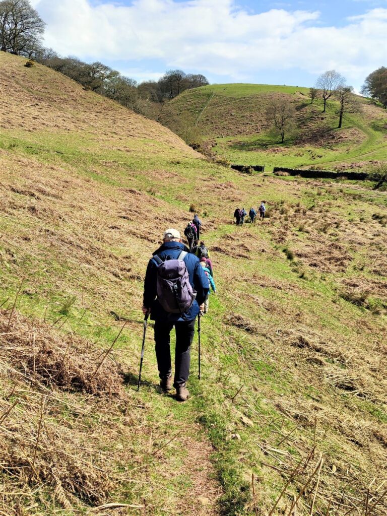
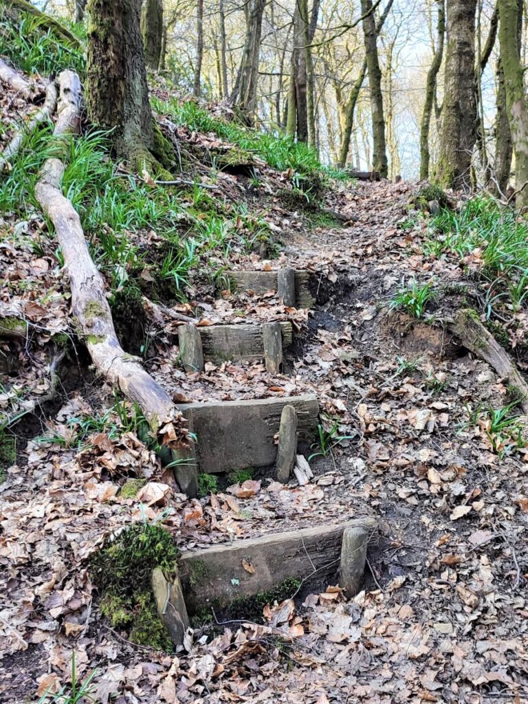
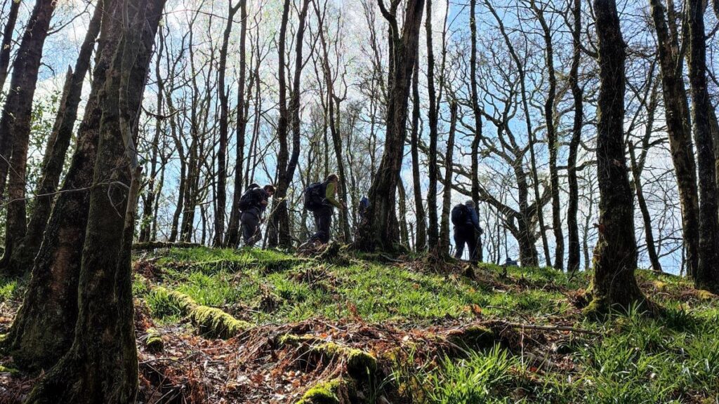
We now head uphill slightly toward a small plantation of trees, where the path crosses a stile and continues through the woodland. The sides are quite steep, so take care in wet weather.
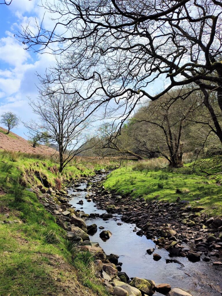
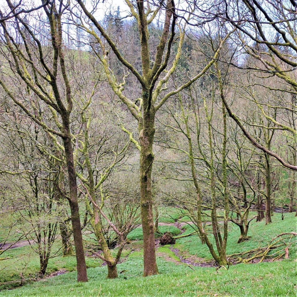
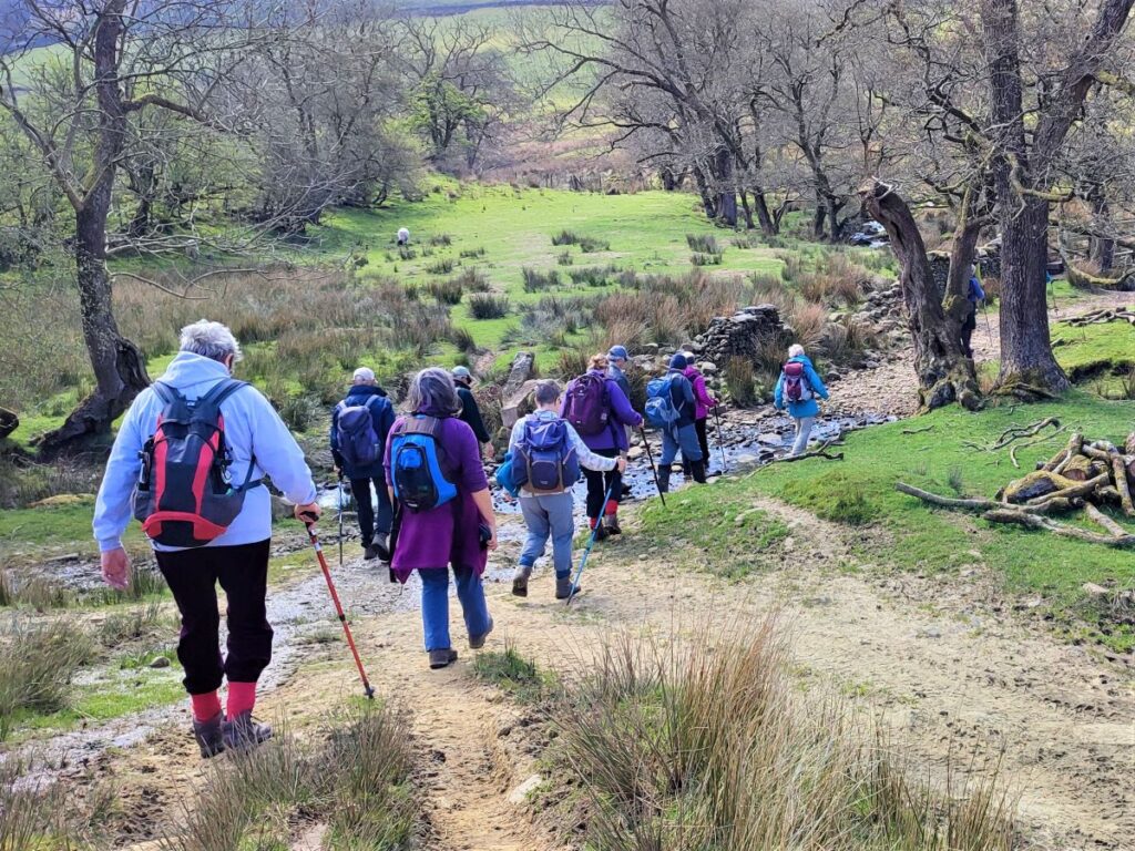
We follow the high level path until it starts to descent to the bottom of the valley and the river – Closegill Beck.
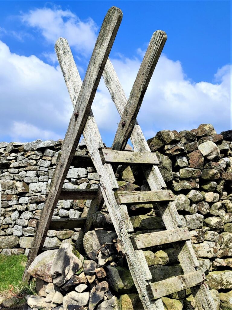
Ahead of us at this point is a wooden footbridge and then a ladder stile. These are NOT our route today – that path goes to Deep Clough and the Roeburndale Road – but we turn round and walk back along the river (downstream) on a flat path keeping the beck on our left.
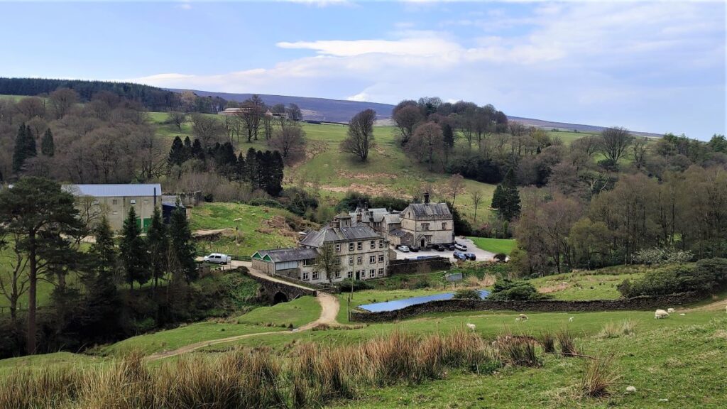
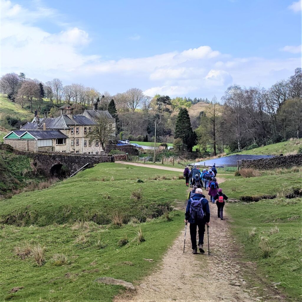
As we approach Littledale Hall, we meet the bridge that we saw from higher up the valley side earlier and we cross it to follow the track round past the buildings and then back round to the left. As we do so we get good views of the hall.
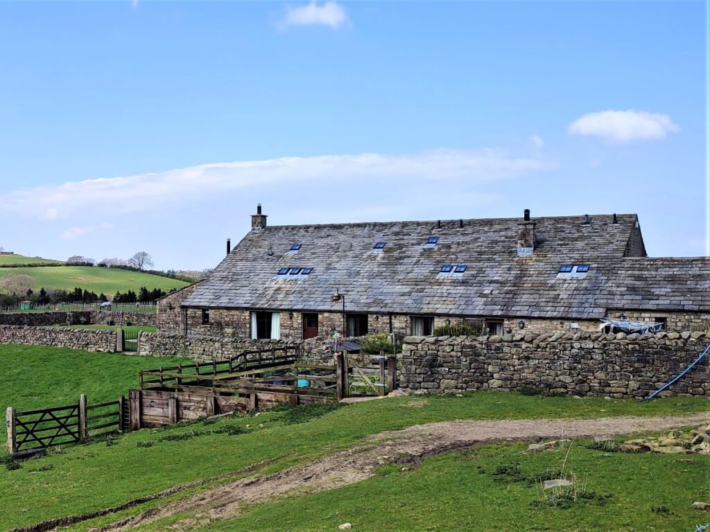
Littledale Hall, is a grade II listed building thought to have been designed by one of the area’s most prolific Victorian architects – E G Paley – it was built in 1849 for the Reverend John Dodson who retired with his family to Littledale following a split from the Church of England. He was a man of independent wealth, being part of a Liverpool shipping dynasty, and could afford to survive quite easily outside of church employment.
The house became a Christian retreat in 1988 and a residential addiction treatment centre in 2006.
The path curves back on itself at the edge of the Hall grounds and takes a sharp right at the edge of a barn to enter an area of woodland that appears to have been ornamental gardens for the hall when it was in its heyday. There are clear remnants of a sunken garden and a pavilion to the right as we walk through the woods.
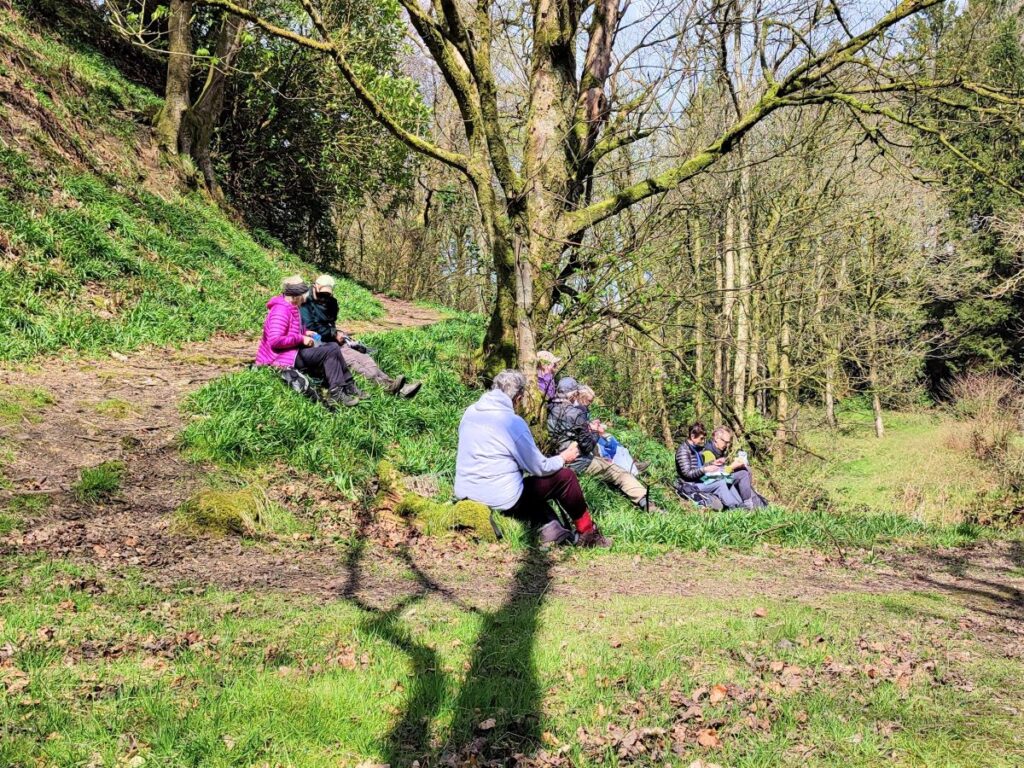
We stay with the path until we arrive at a footbridge over a beck. This is a lovely spot, so a pause for lunch is warranted.
We continue with the path. Take care not to follow the unofficial path up the beck side, the right of way goes up the side of the hill, almost reversing the direction we came to the bridge on.
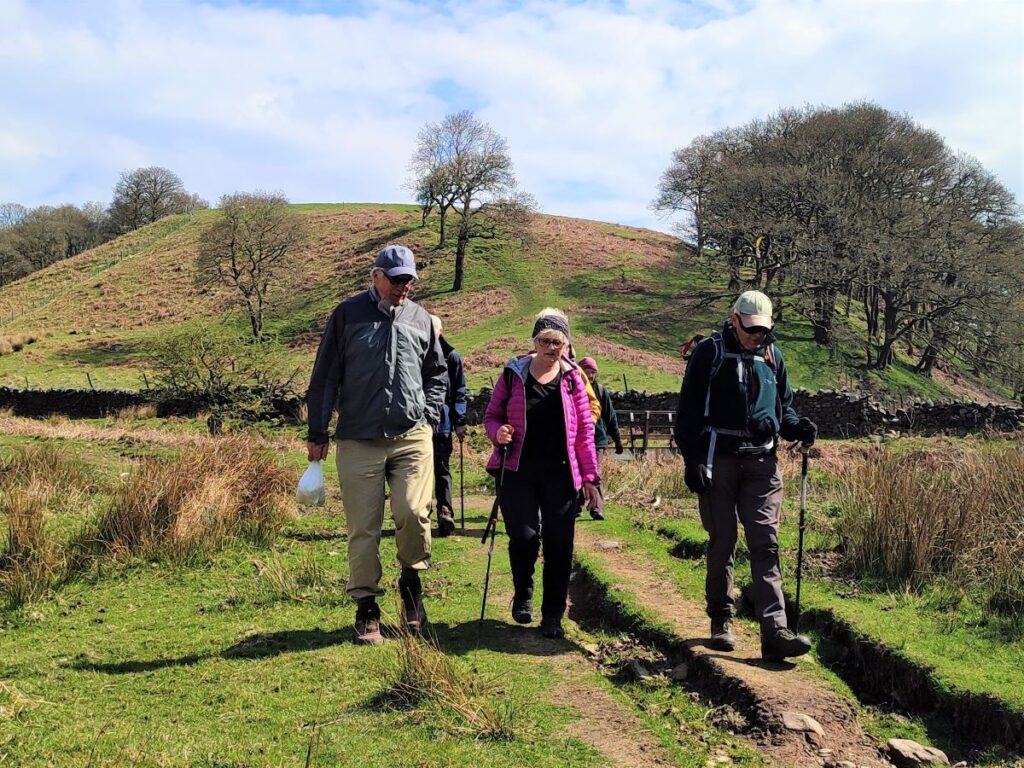
We rise steeply for a short while, and then arrive at a stile into open fields with a farm ahead of us. We cross the field diagonally and head for the buildings, to find a stile in the drystone wall ahead. After the stile we walk to the right of the farm and pick up a track along fairly flat ground with beech woodland ahead and to the right.
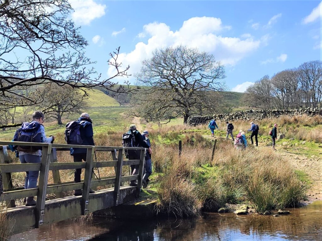
We continue on the track until we arrive at the Hamlet of Littledale – if you arrived at Littledale via a shortcut welcome back! Here we take a sharp left and pass the house to go through a gate before following the rough track down to a beck, which we cross at a wooden footbridge.
The track continues uphill beyond the beck, and we see the track extending into the far distance. We need to take care here not to go too far though, because we leave the track and take a path off on the right at a metal gate.
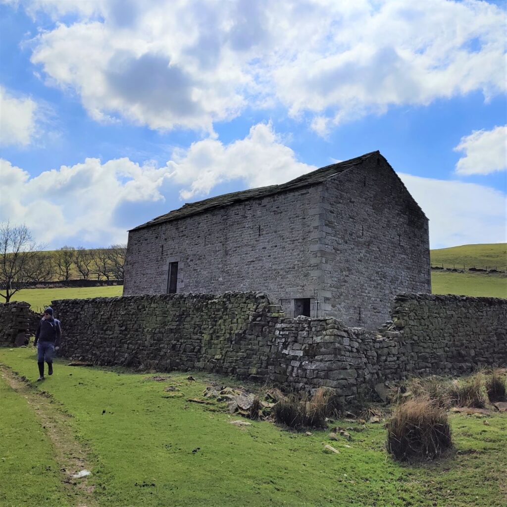
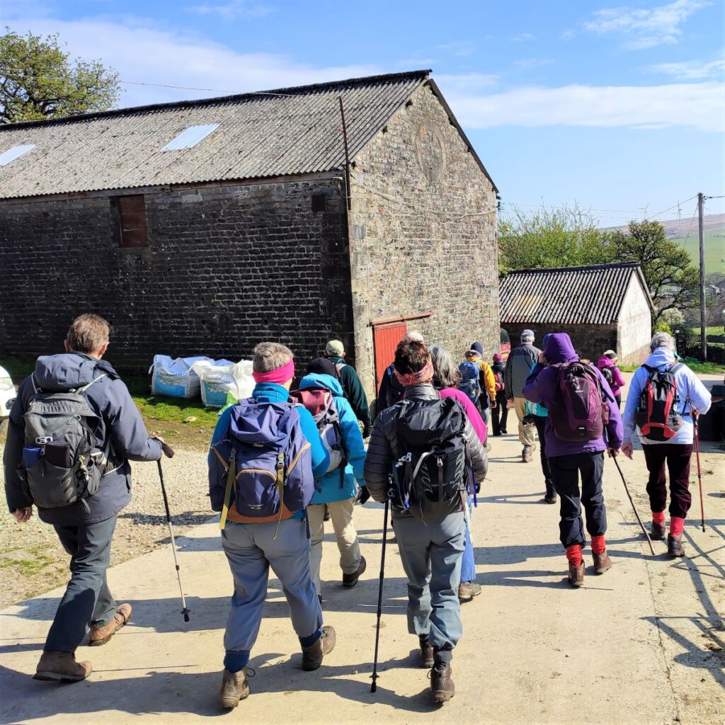
The path now runs behind a drystone wall, and heads uphill, we cross Sweet Beck and continue until we get a view of a rather fine, and unusually large barn ahead. We walk to the right of the barn and then follow the path round to another metal gate (with stile to the right).
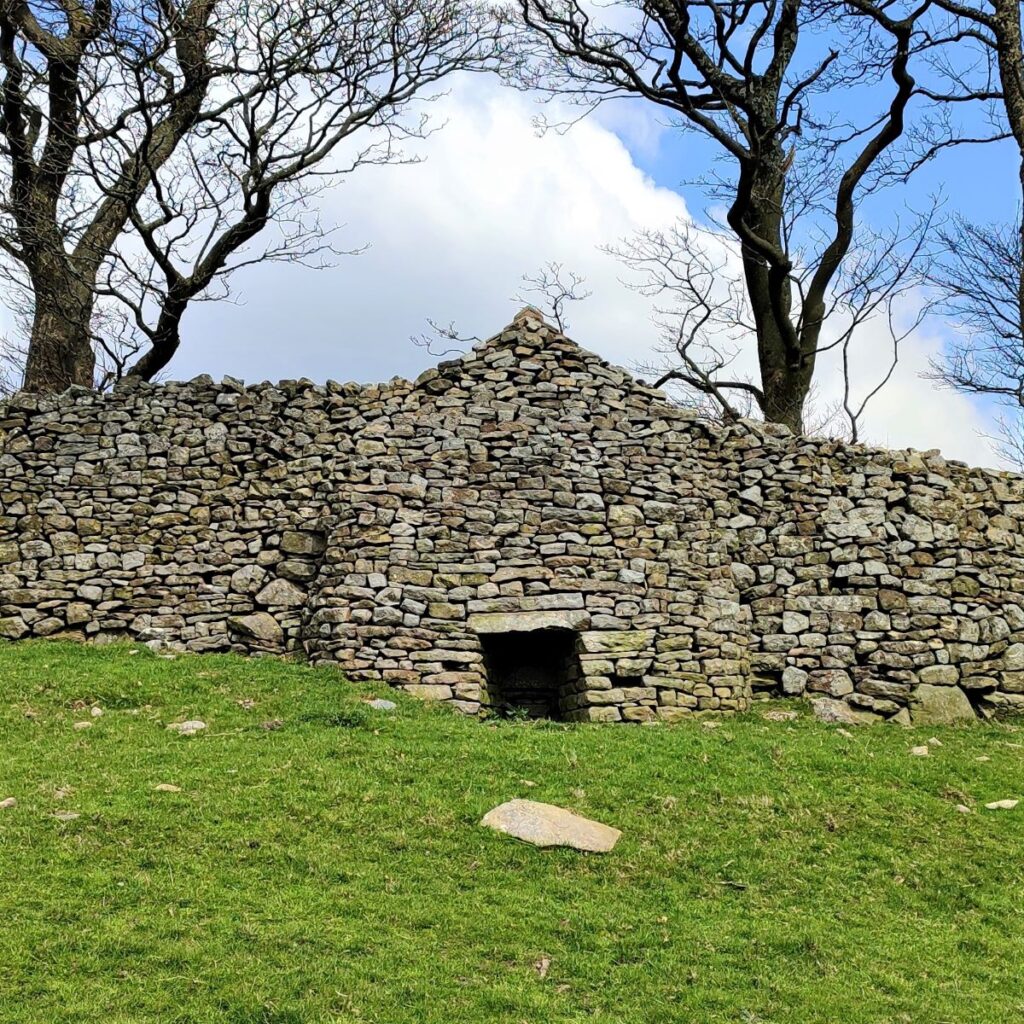
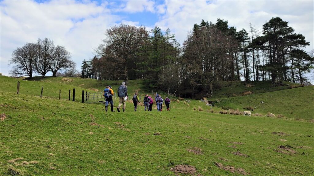
From here we stick with the track as it passes Calf Hill Wood (on our left) before passing to the left of a cluster of farm buildings with a curious structure built into the perimeter wall.
The house to which this structure belongs is Cragg Farmhouse, a listed building dated to 1736. The house is rather more grand than we might expect for a typical farmhouse so it may be that the unidentified structure was an icehouse.
From here we follow the track up to the road and then left to the car park where the walk ends.