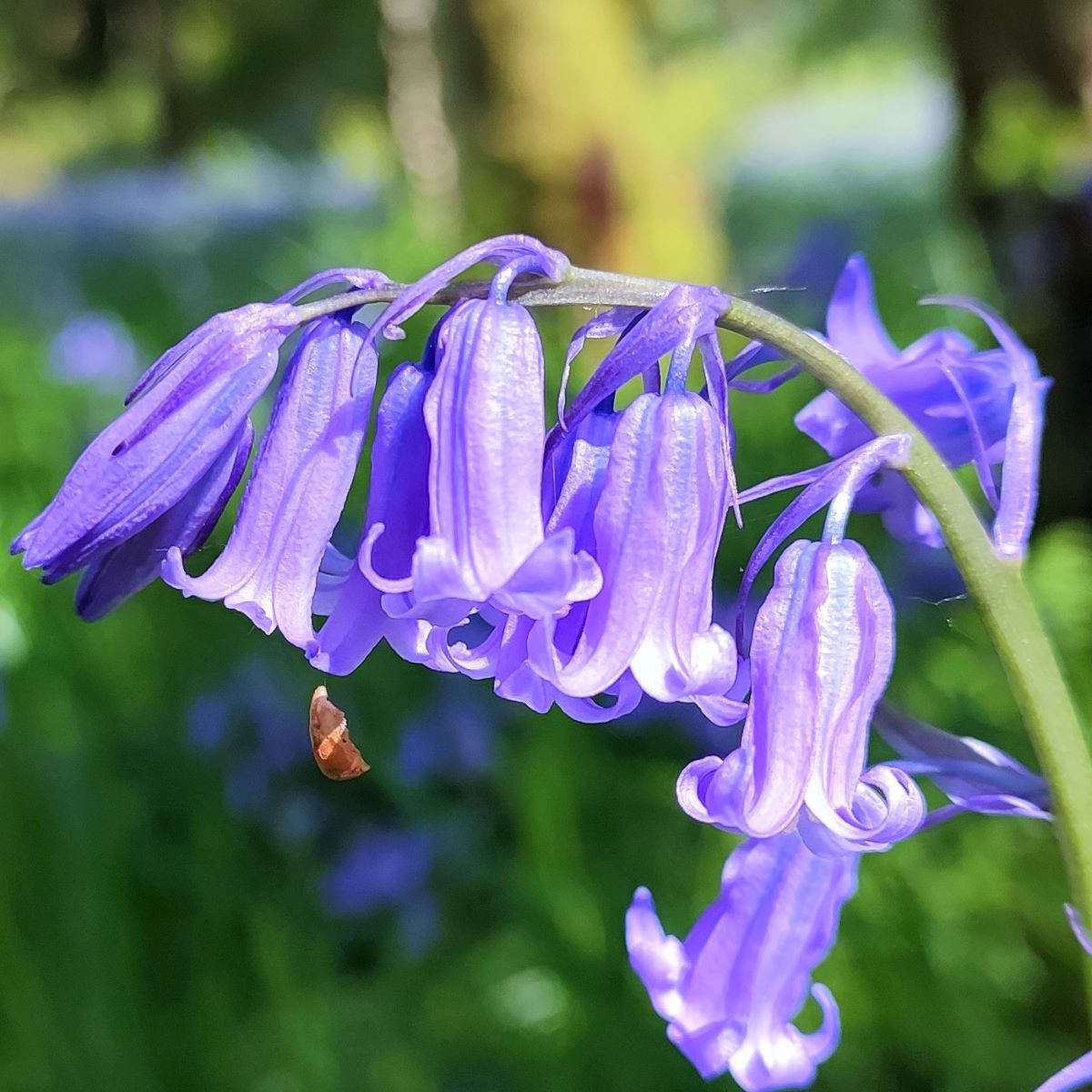
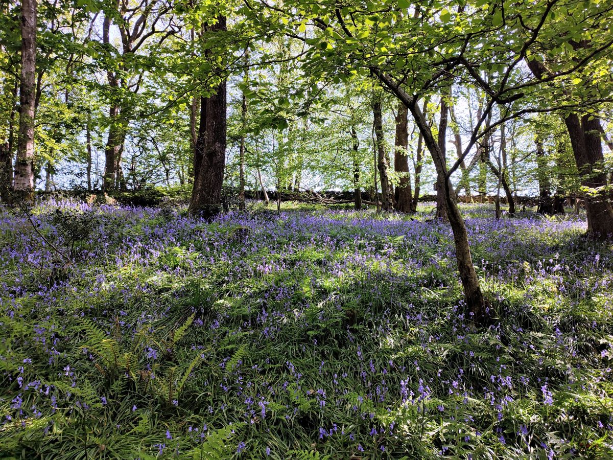
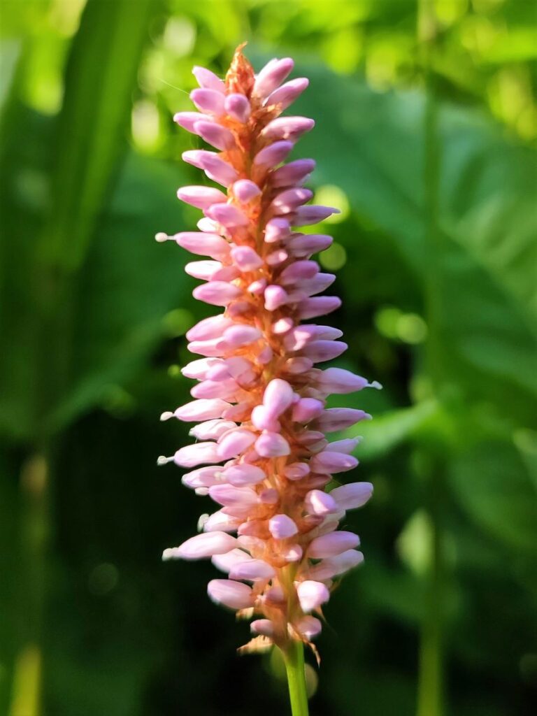
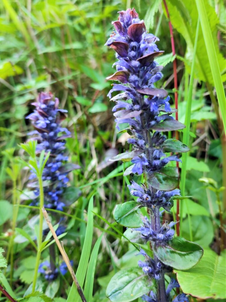
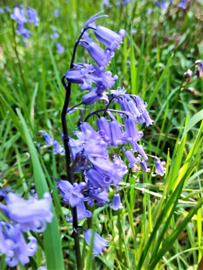
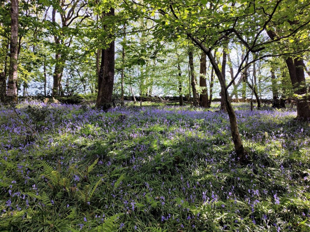
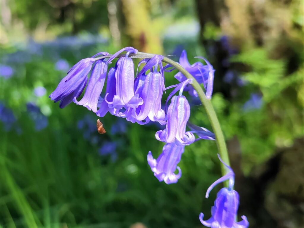
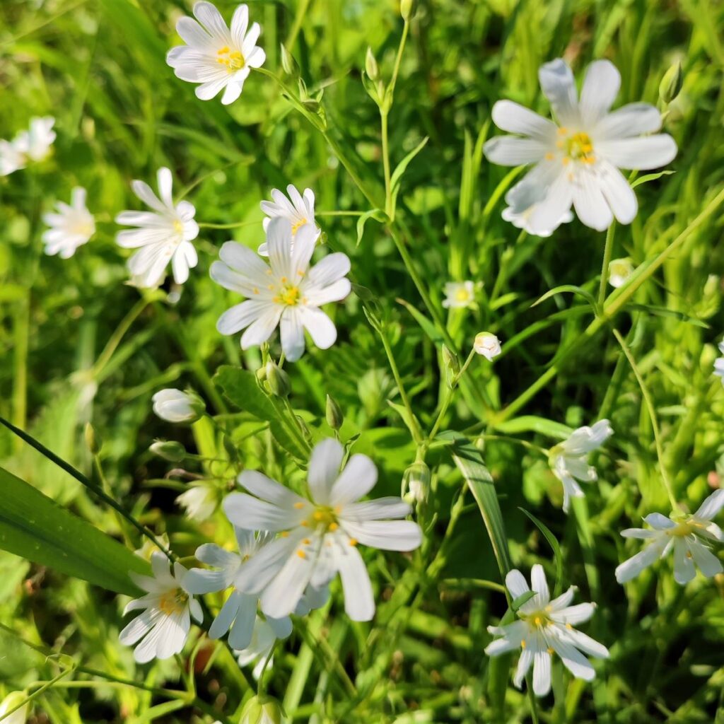
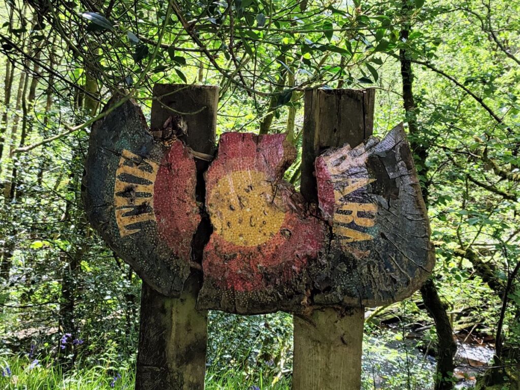
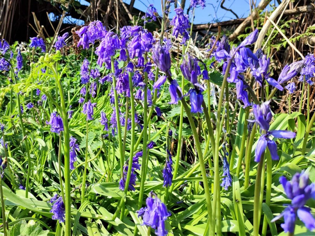
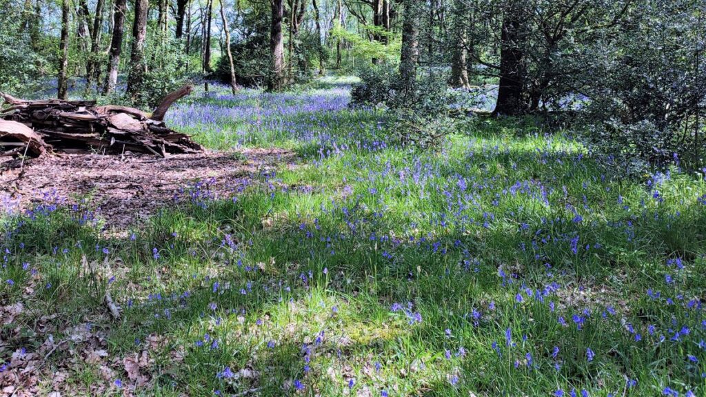
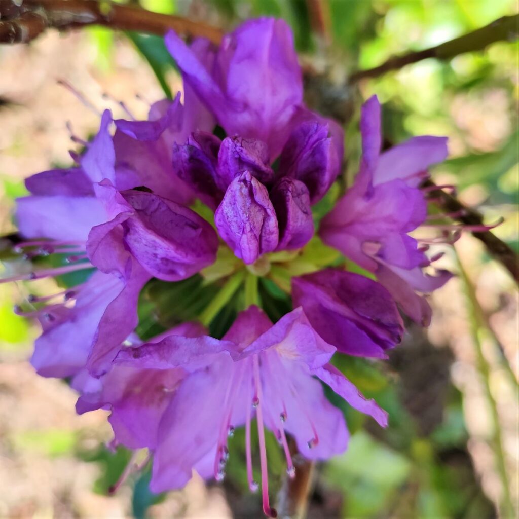
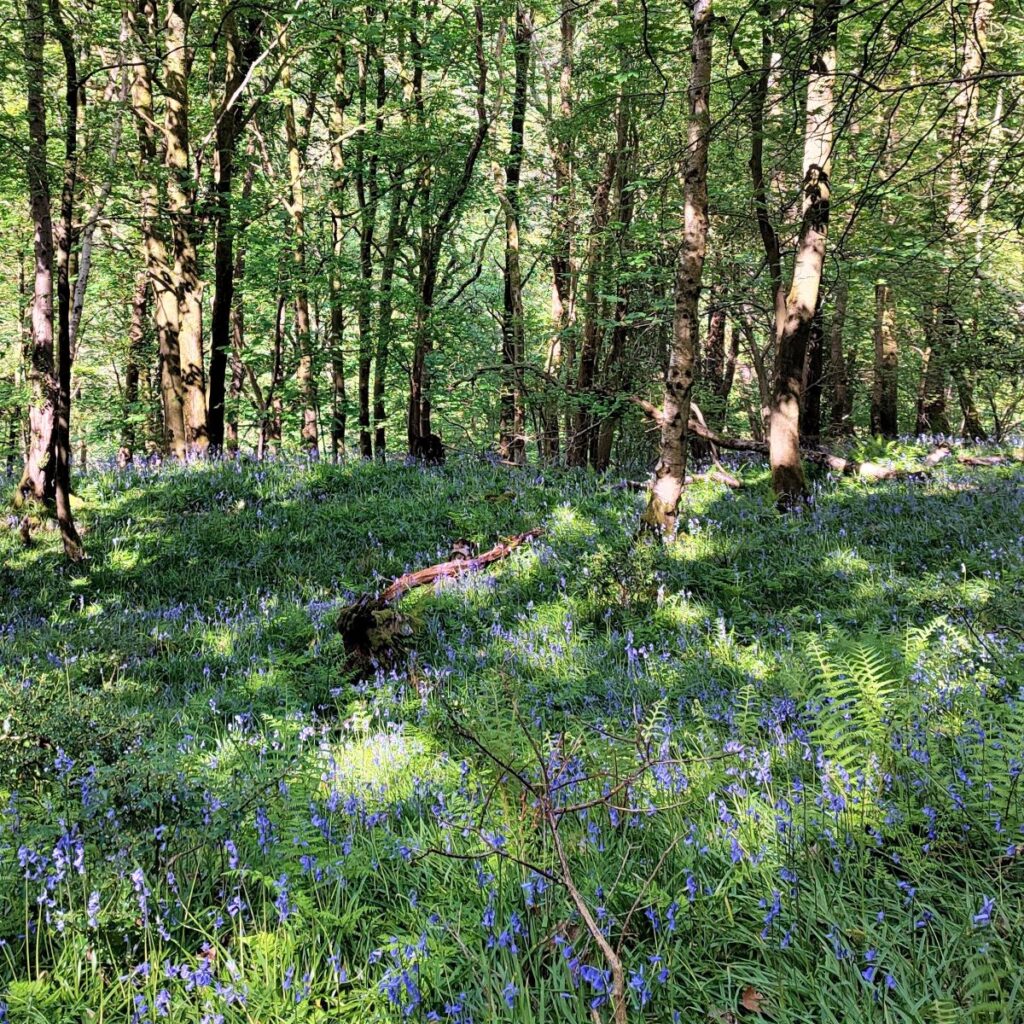
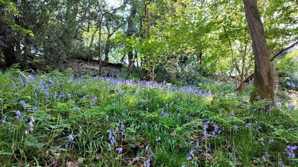
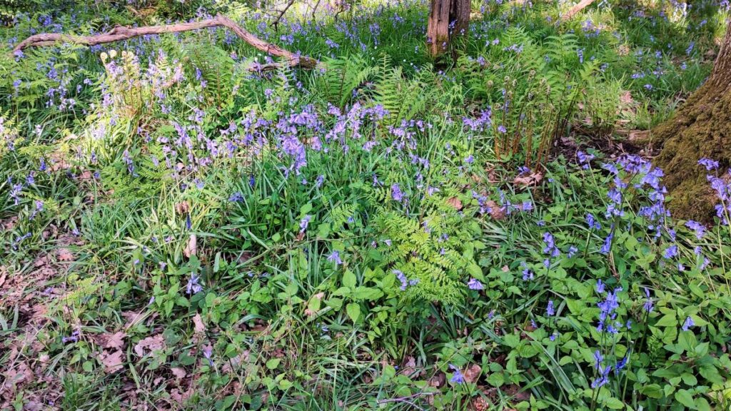
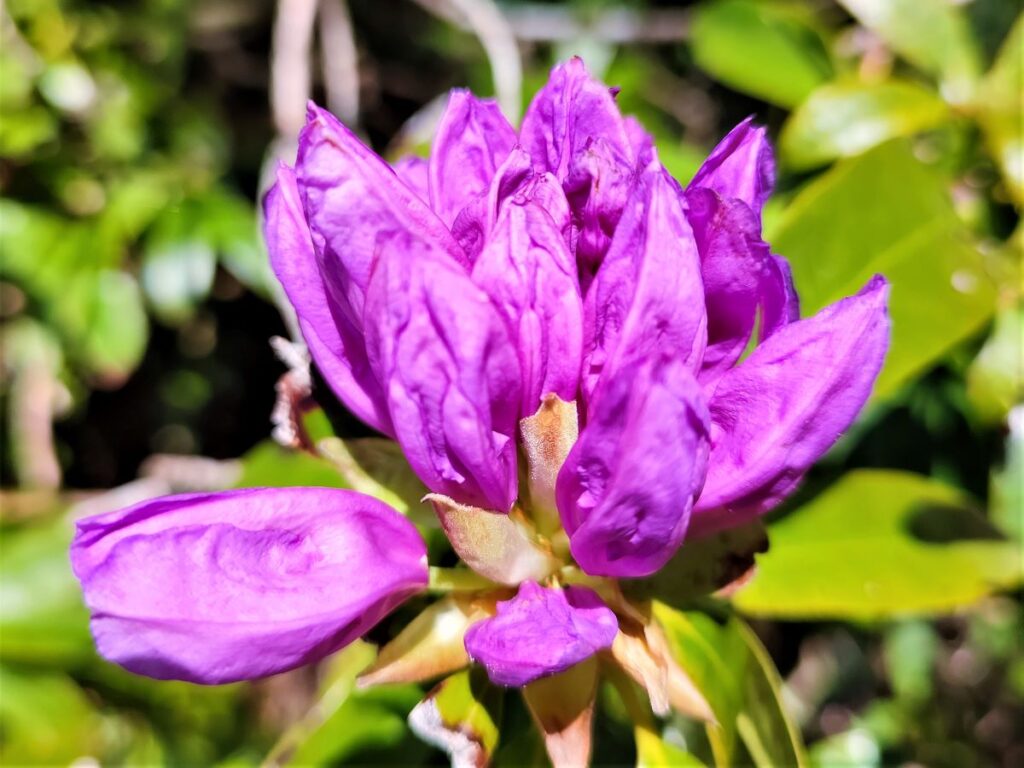
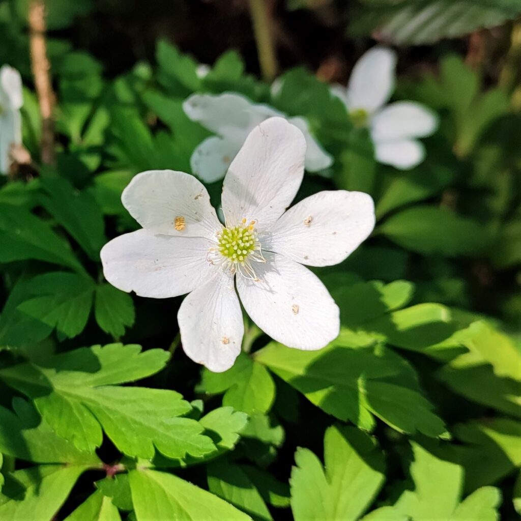
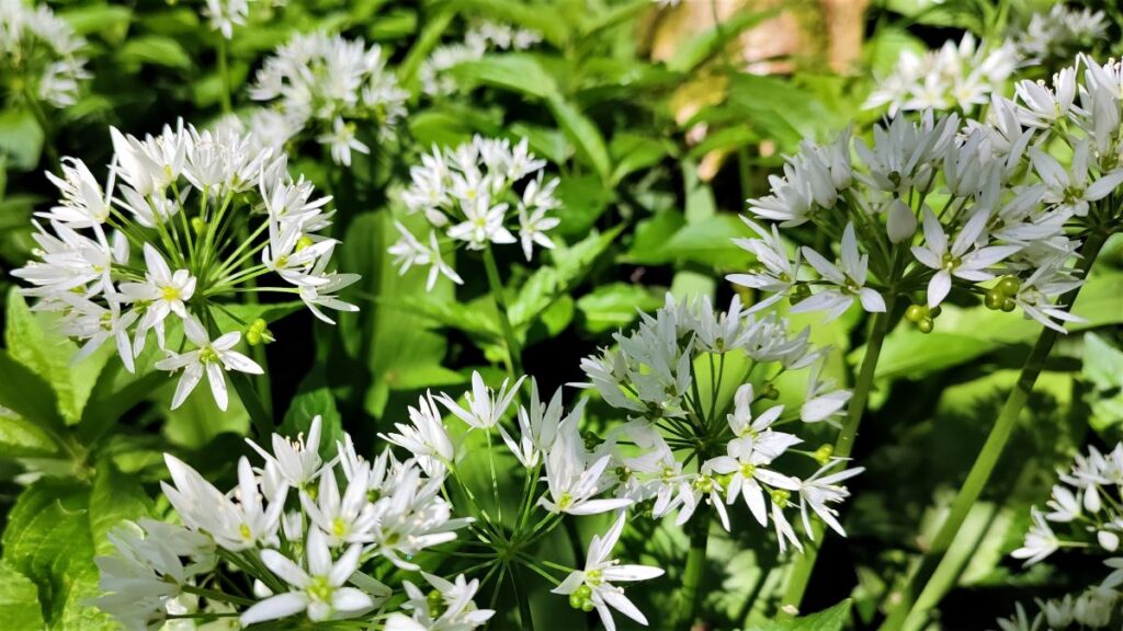
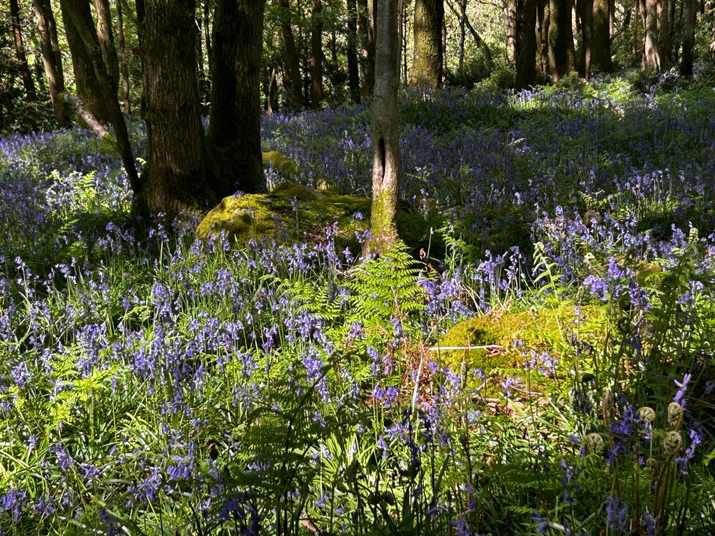
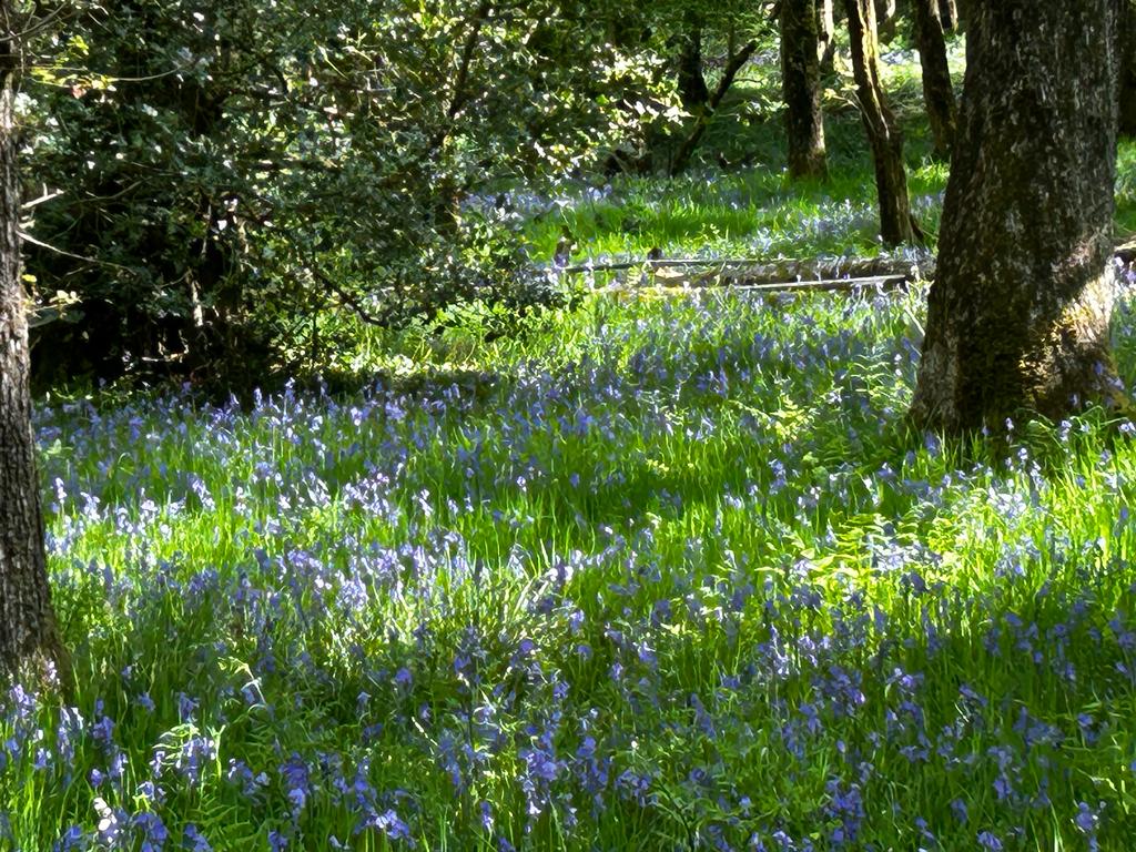
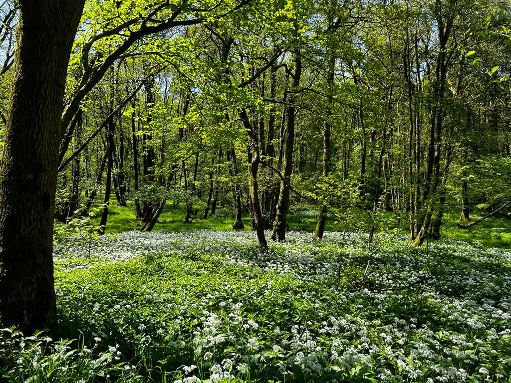
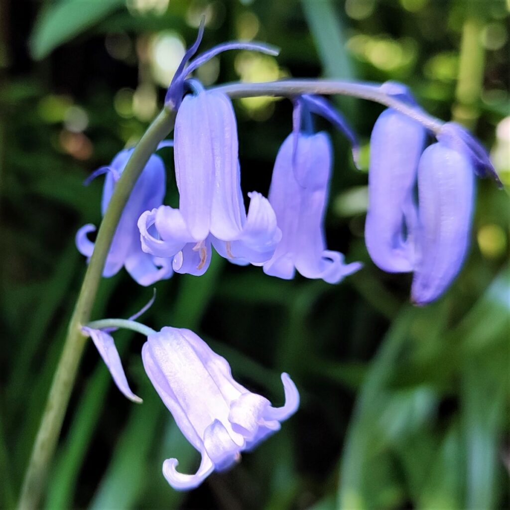
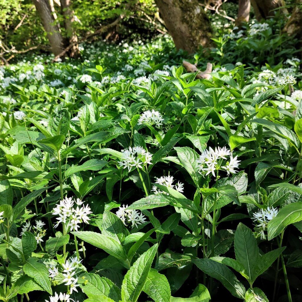
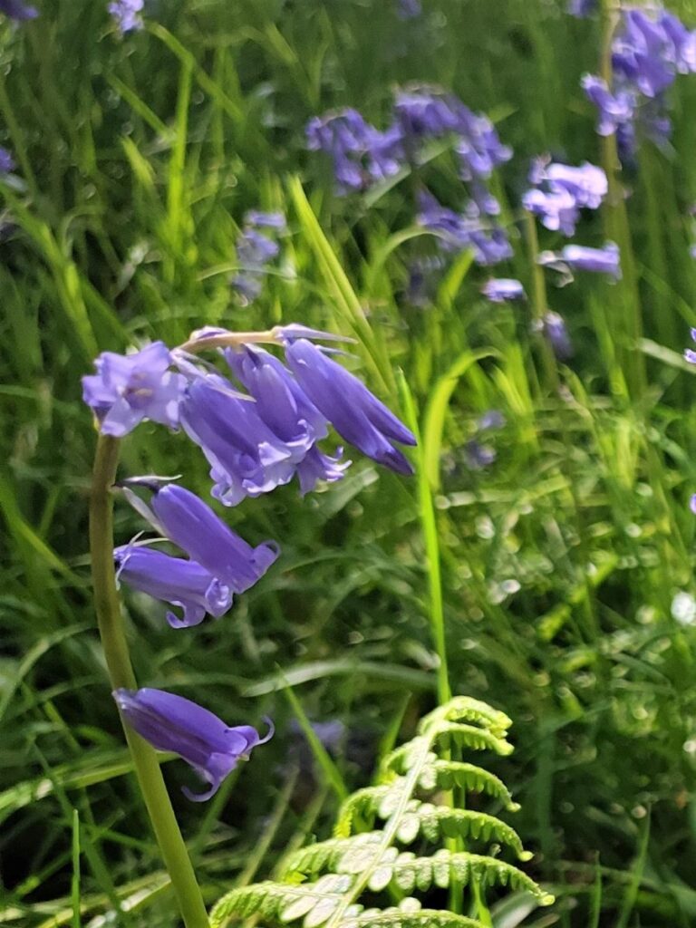
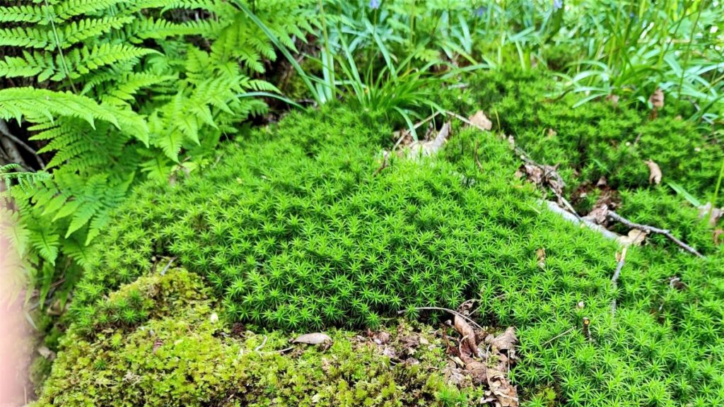
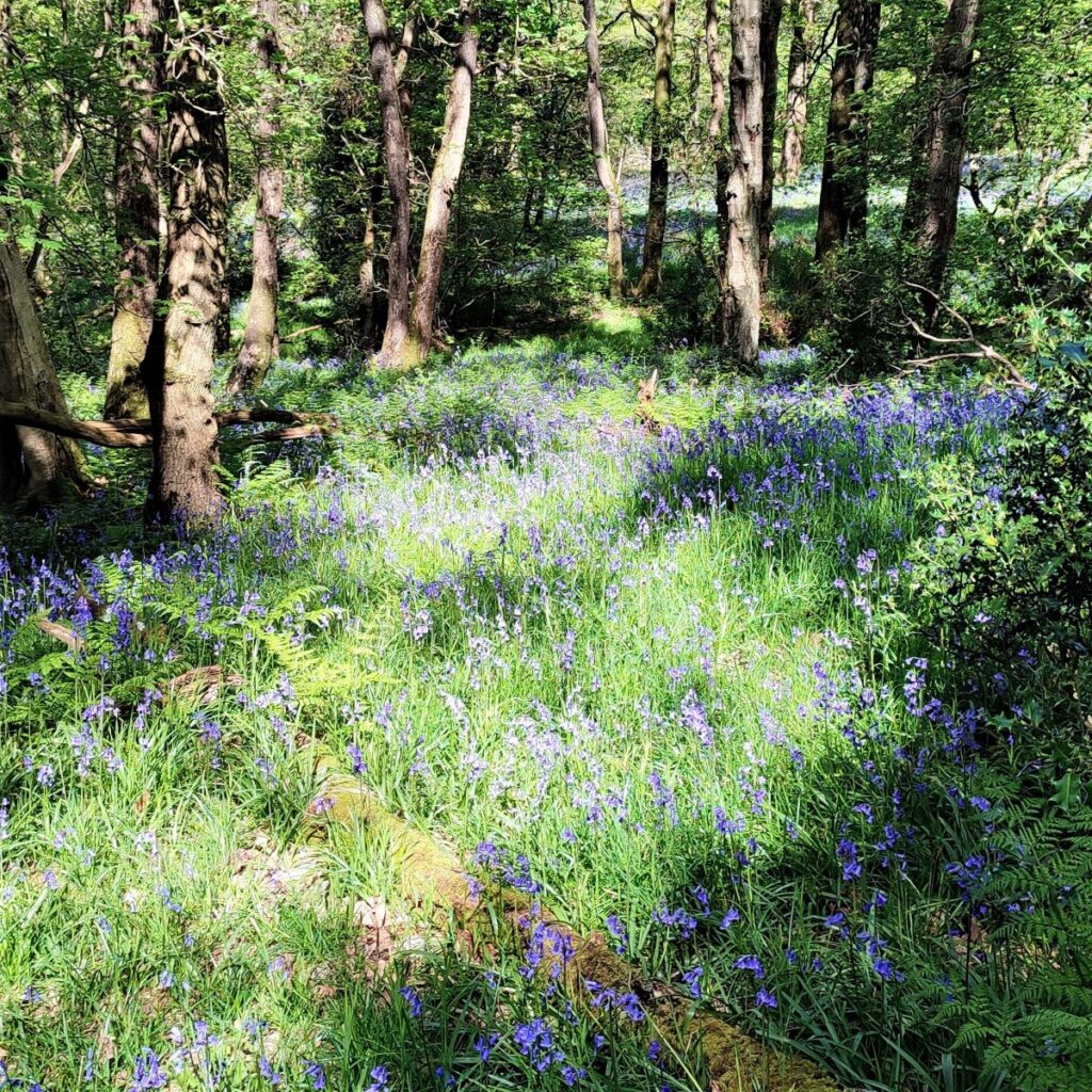
The clue is in the name as they say . . . this walk features the woodland in Roeburndale, and the spectacular bluebells and other wildflowers that make the most of the spring light that reaches the woodland floor just before the trees get into full leaf. Timing is everything, as this phase of spring lasts for just a couple of weeks; we scheduled our walk for early May.
Is this a worthwhile walk at any other time? It absolutely is. Roeburndale, like the rest of the Forest of Bowland is quieter than the Dales or Lakes, yet this particular part of it is very accessible. The village of Wray has an interesting history, and an excellent tearoom. On the walk we pass an abandoned rope bridge, a hidden orchard, see slow worms, and there are great views over the three peaks. So, this is a great walk at any time, and or is perfect in early May.
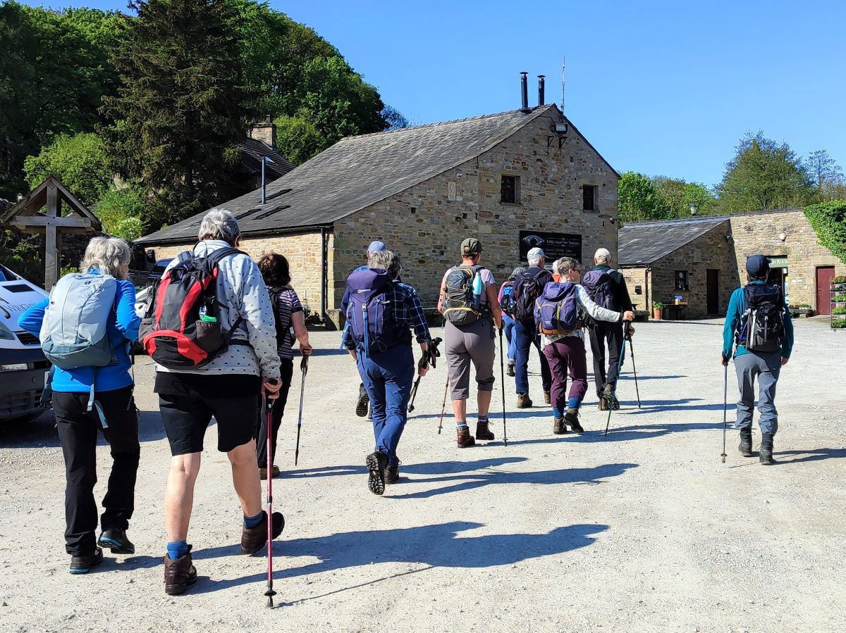
We start from the village of Wray on the B6480, look for Main Street and park at the roadside or drive through to the tearooms at Bridge House Farm where there is ample parking for customers – it would be considered polite to check that leaving your car for a while before being a customer is acceptable. If you are using Satnav to get to the walk, the postcode for the tea rooms is LA2 8QP, and the What-3-Words tag is kinds.bluffing.staples If you prefer paper maps, then the grid reference is SD60666750.
An alternate, which would give you the opportunity to walk through the village before the main walk starts, is to park at the layby on the B6480 on the Lancaster side of the Hindburn bridge and then walk through the village to the tea rooms. The what 3 words tag for that is puzzles.ounce.eclipses and the OS Grid reference is SD 60448 67920.
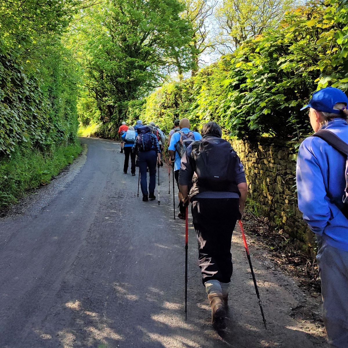
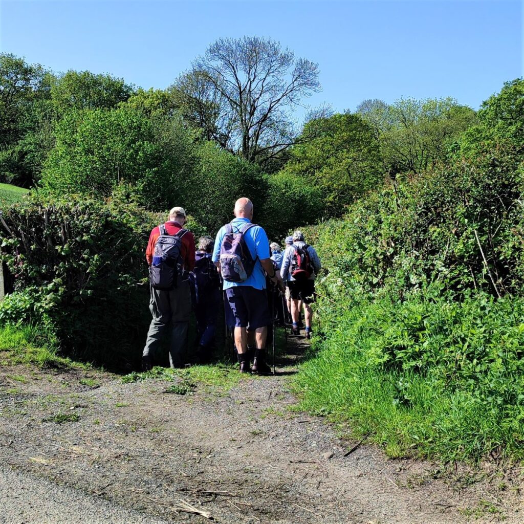
If you park at the tea rooms, exit back onto Main Street from the shop area and look to your left. You will see a minor road almost opposite which heads steeply uphill. This is our outbound route, and for reference on the right, adjacent to the Roeburn, is the road we return on.
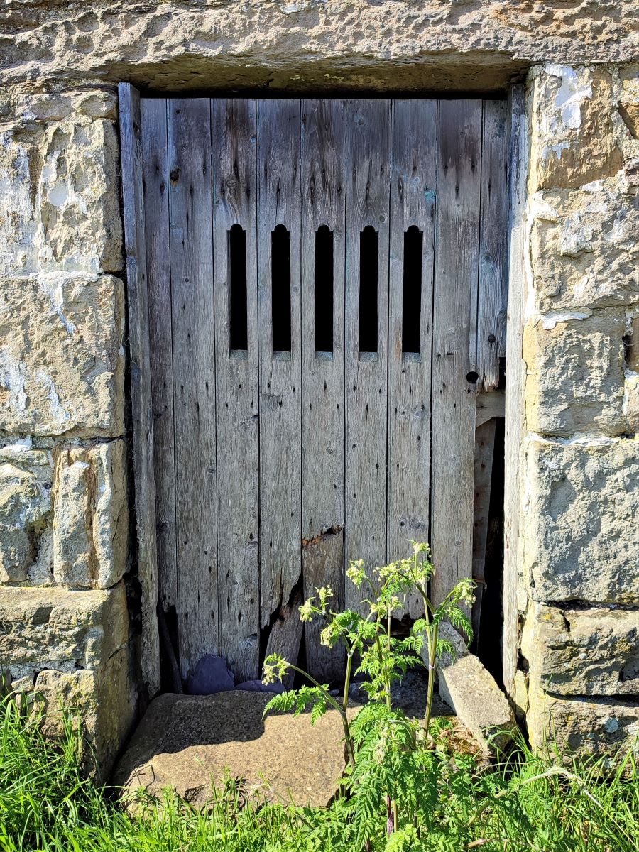
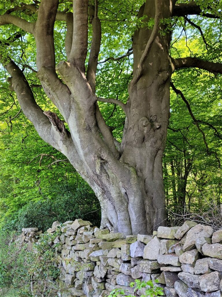
We head out up the lane on the left – it is quite steep initially, before easing off and passing an attractive farmhouse at Above Beck. Just beyond here on the left is a derelict barn with an attractive oak door. Use this as a landmark to find the waymarked footpath on the right a short distance beyond the barn.
We now head South down the lane though Pike Gill Wood to cross a small river at a footbridge – strangely the beck through the woods is called Hunts Gill Beck, not Pike Gill, and the OS map shows no reference to any watercourse named Pike Gill in the area.
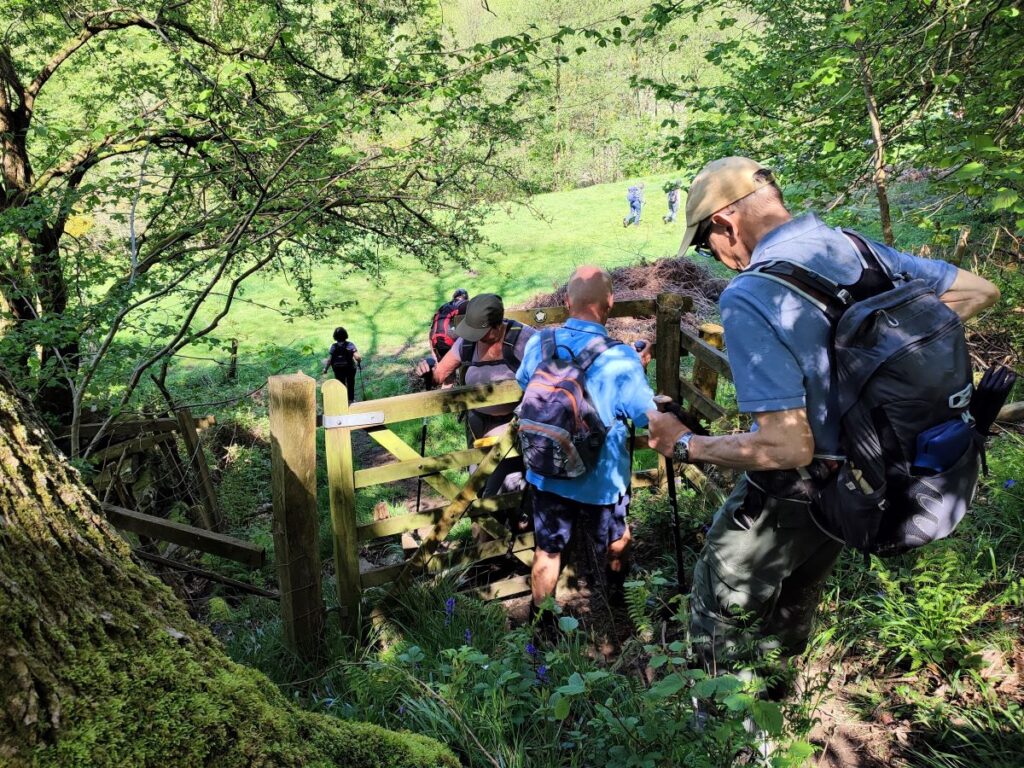
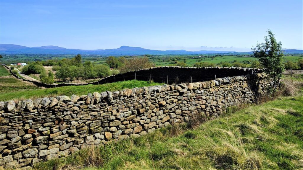
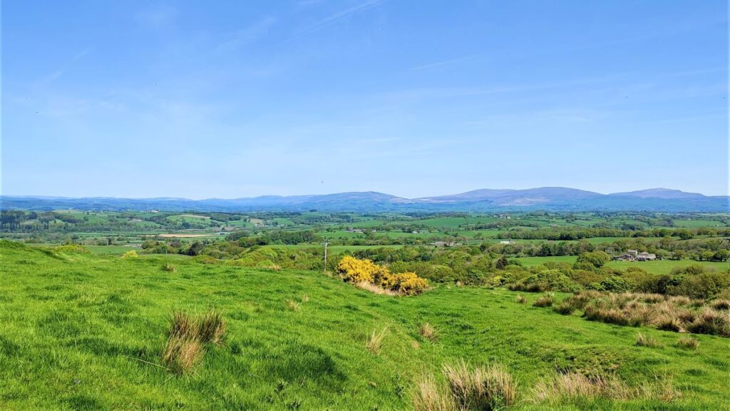
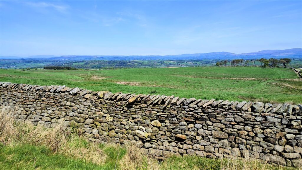
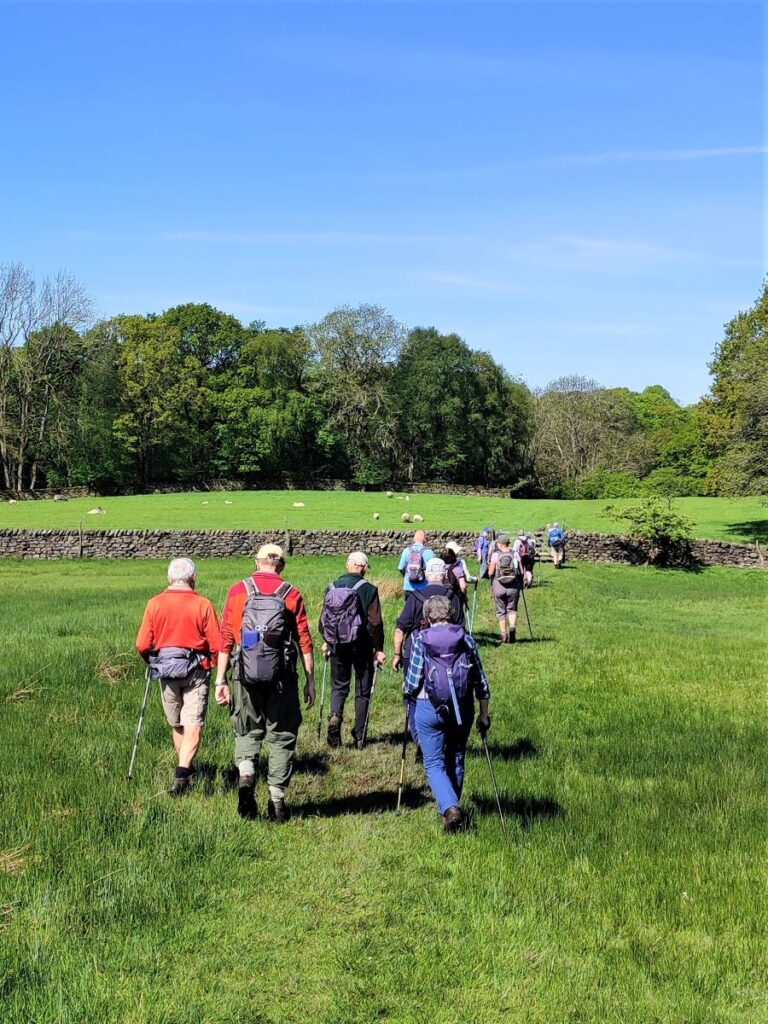
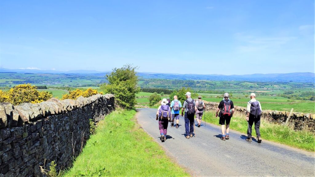
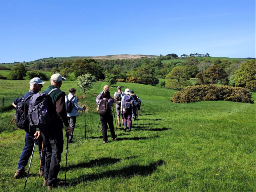
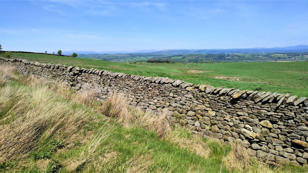
Beyond the footbridge, the path climbs steeply to a meadow where we follow the drystone wall up to a minor road at Alcocks Farm. Take a left turn at the road and follow it for a while. The road is straight and level at this point. As the road starts to make a (very gentle) left turn, keep an eye open for a signposted footpath on the right at a broad gate, and follow the path through an open field toward woodland ahead.
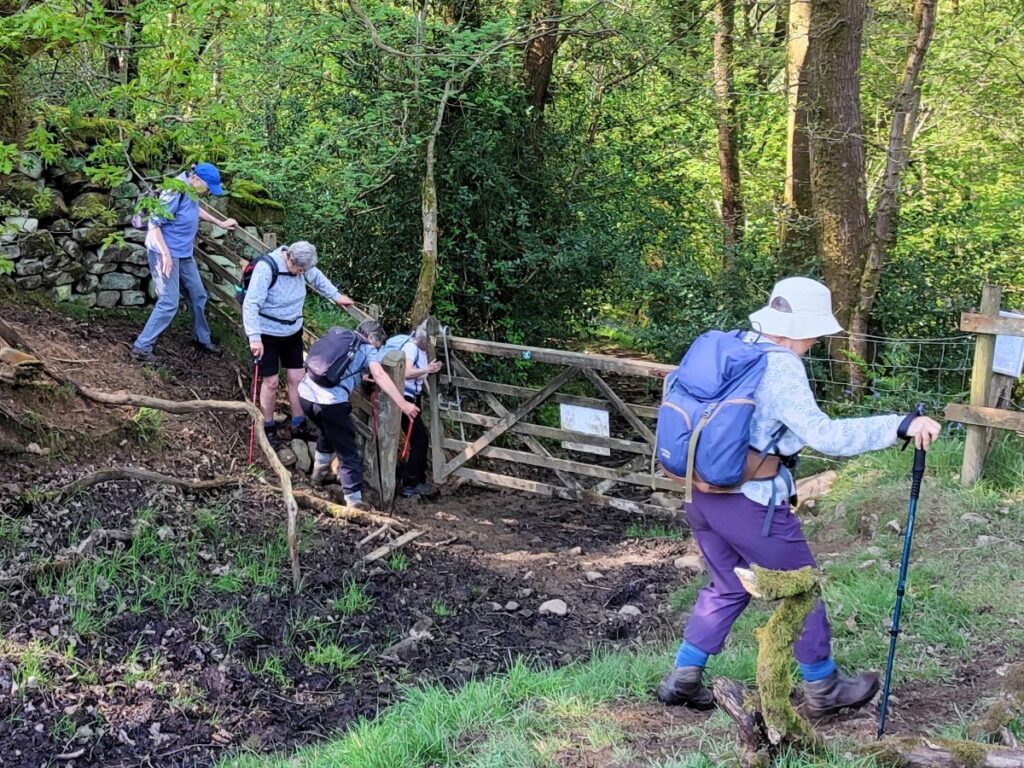
Cross a field boundary and follow the path westerly until you arrive at a steep track down to a wooden gate at the edge of the woodlands. When it rains hard, the track becomes quite slippery, so some creativity in finding a route down to the gate may be required.
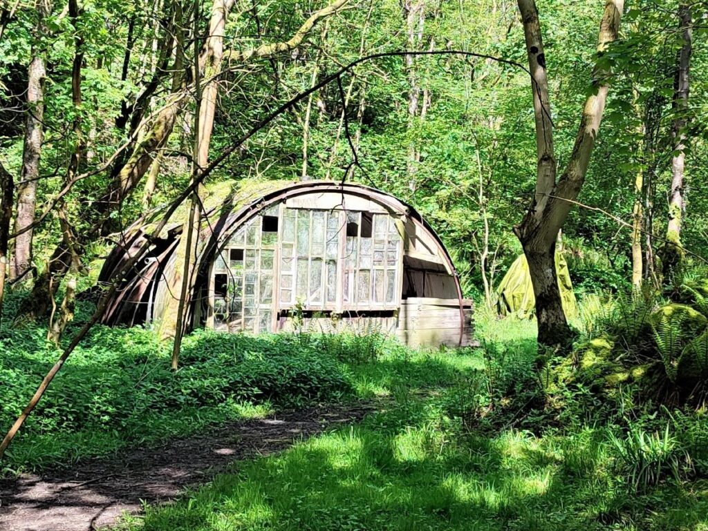
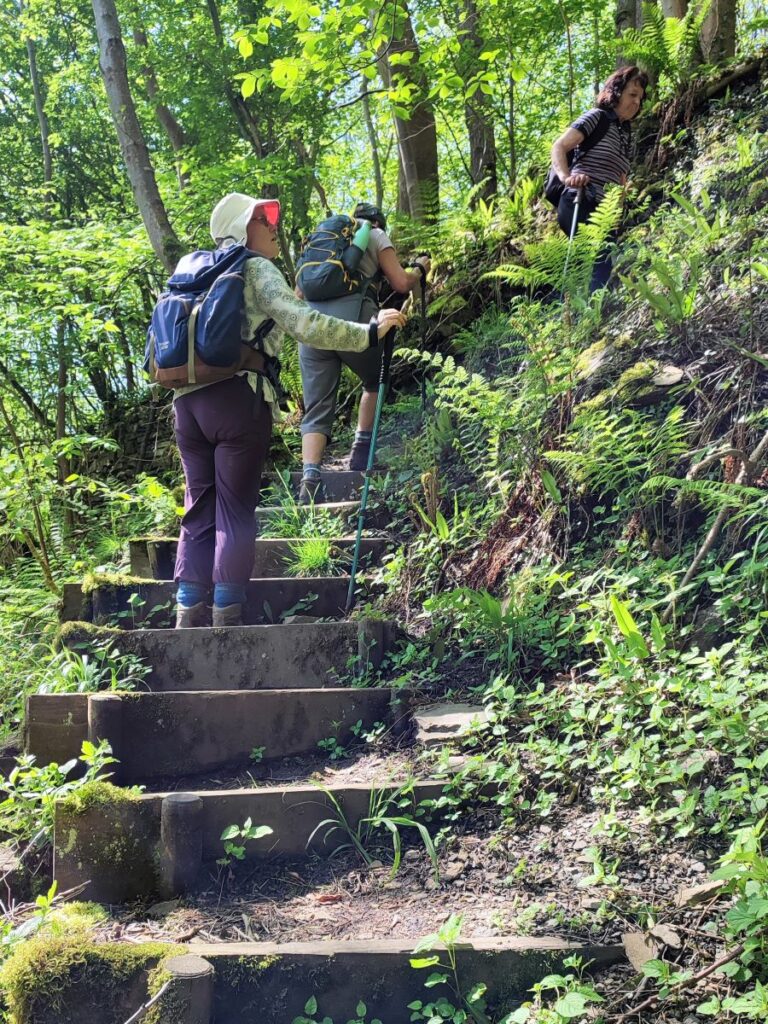
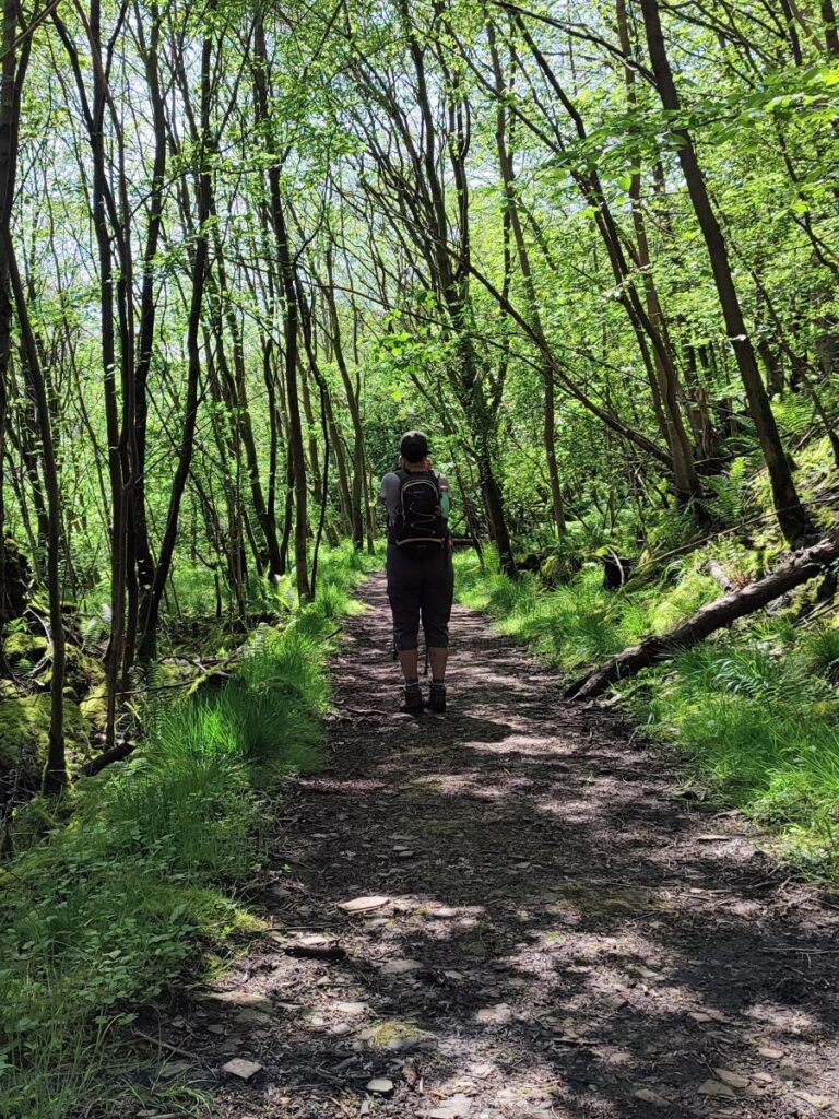
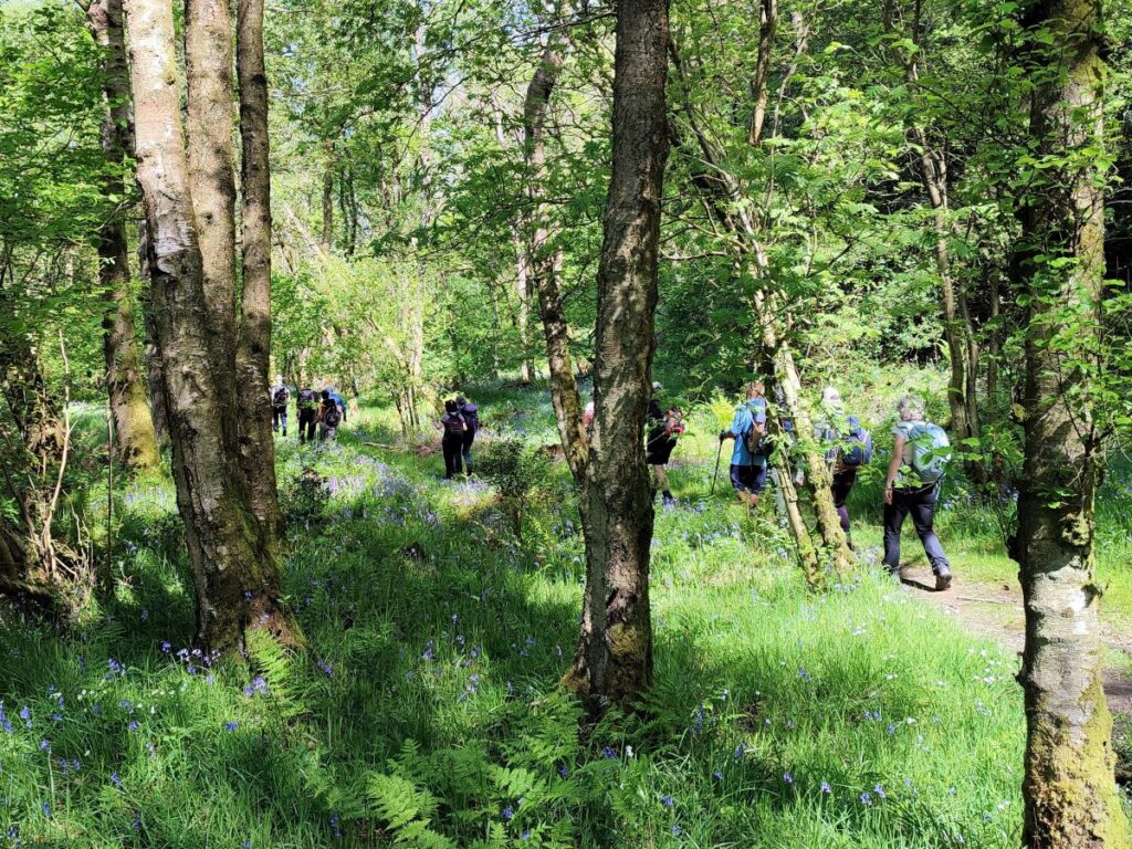
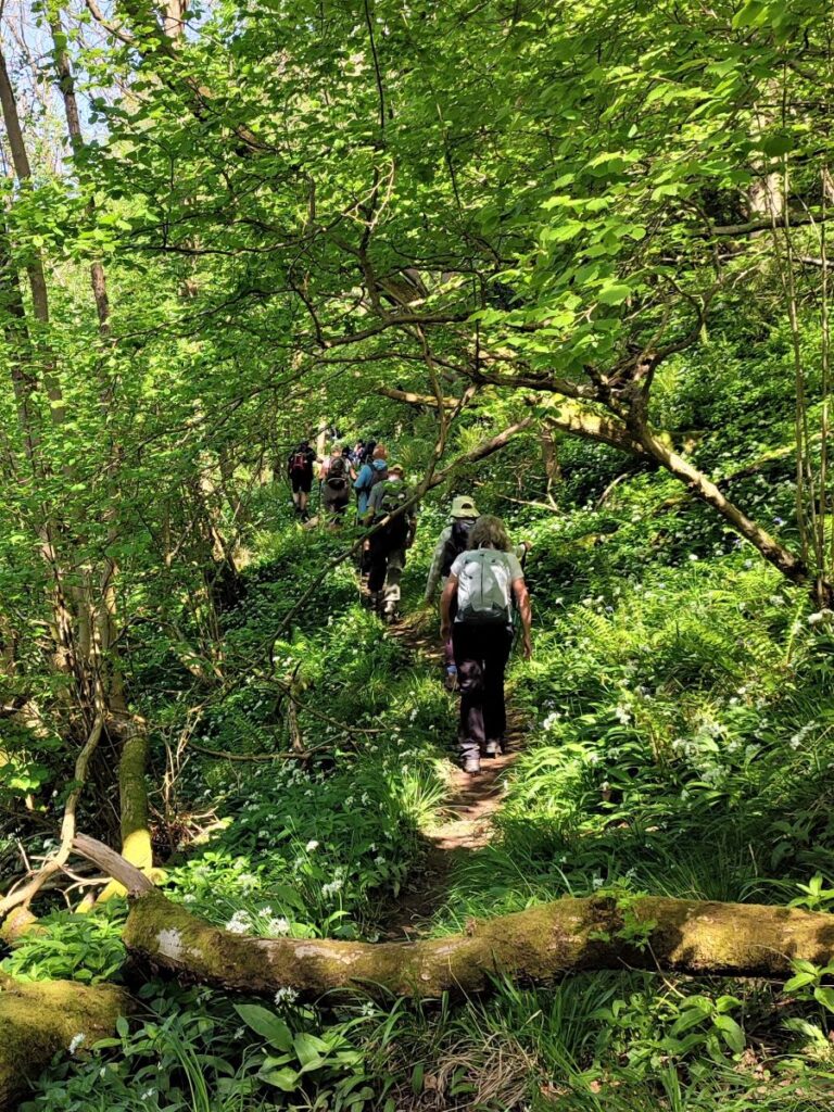
Beyond the gate, the path heads into the woods. This is Outhwaite Wood.
The “official” footpath designated on the OS map heads steeply downhill to cross the Roeburn at a footbridge we use later in the walk. This is great path, but it spends relatively little time in the woodland and given that the whole point of the walk is to see the bluebells, we opt to head left along a higher level permissive path through the centre of the woodland. A permissive footpath goes over private land and isn’t a right of way. The landowner has granted permission for the route to be used by the public, but they also have the right to withdraw that permission if they choose. The path will often be closed for one day a year as a legal safeguard to protect the landowner against any future claims of continuous public right of way. The date(s) the path is closed should be well signposted in the area.
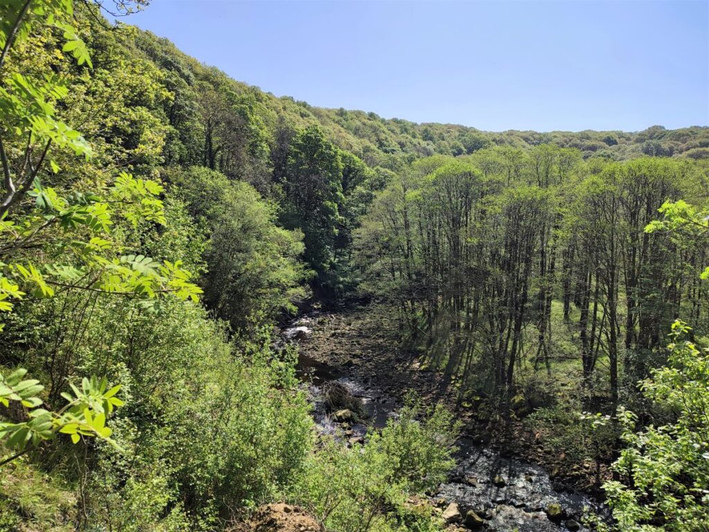
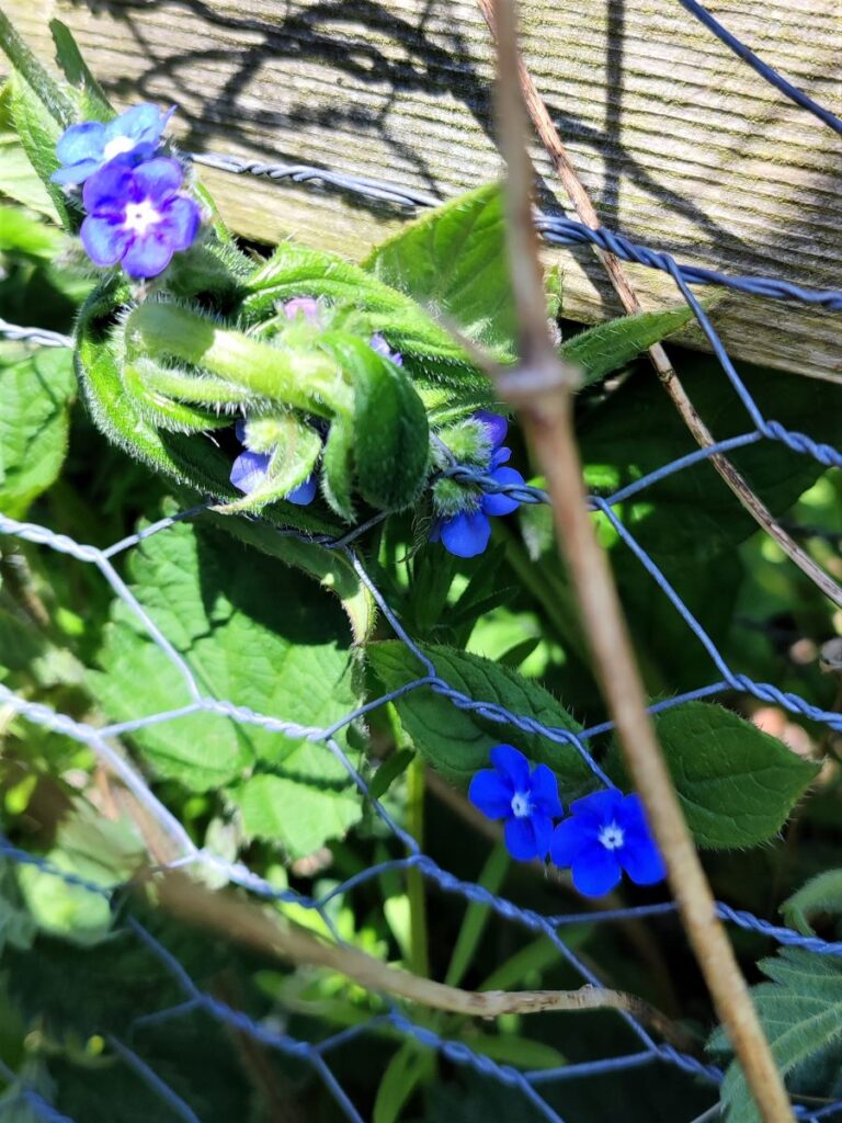
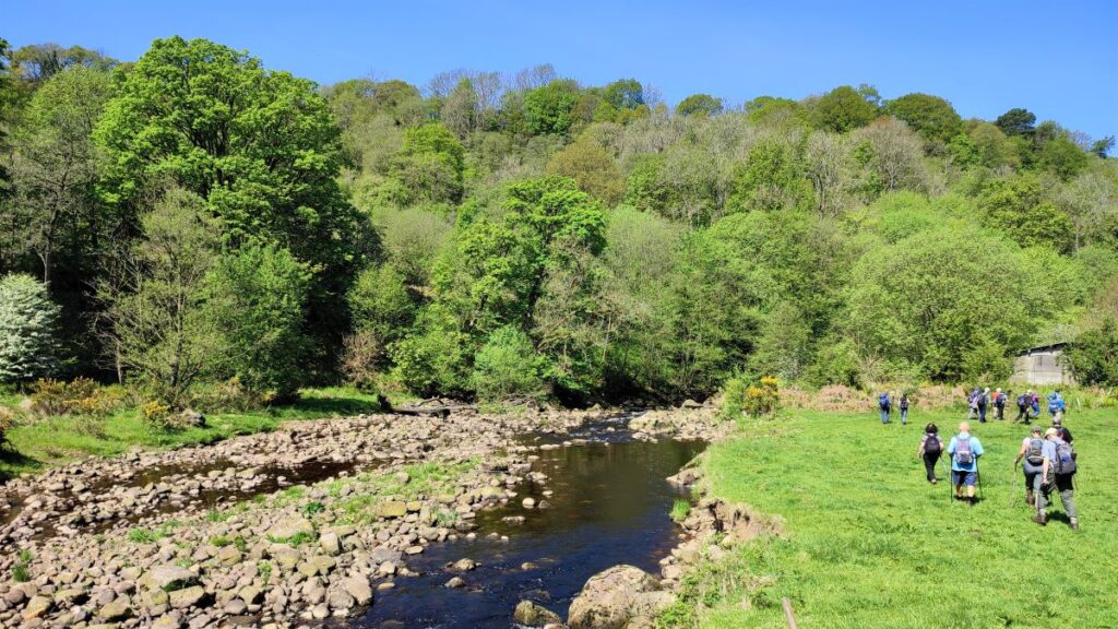
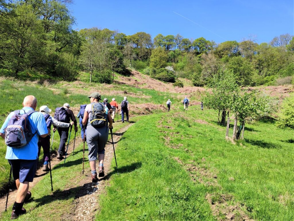
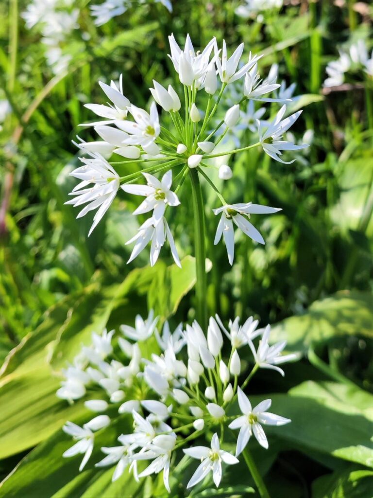
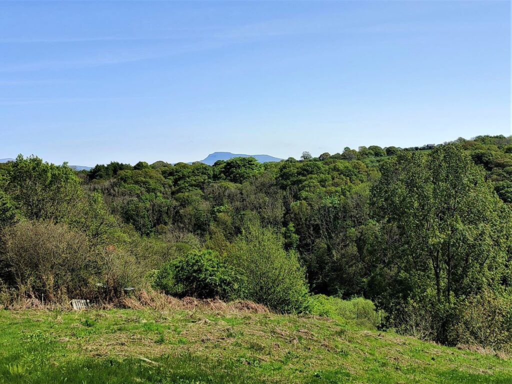
The path through the woods has some signage and the route is clear, and we follow it for a while now enjoying the early spring flowers. After a while the path veers right and we find ourselves above a bend in the Roeburn far below. This is an excellent place to stop for a break, enjoying the view down to the Roeburn with the birdsong from the woodland as a soundtrack.
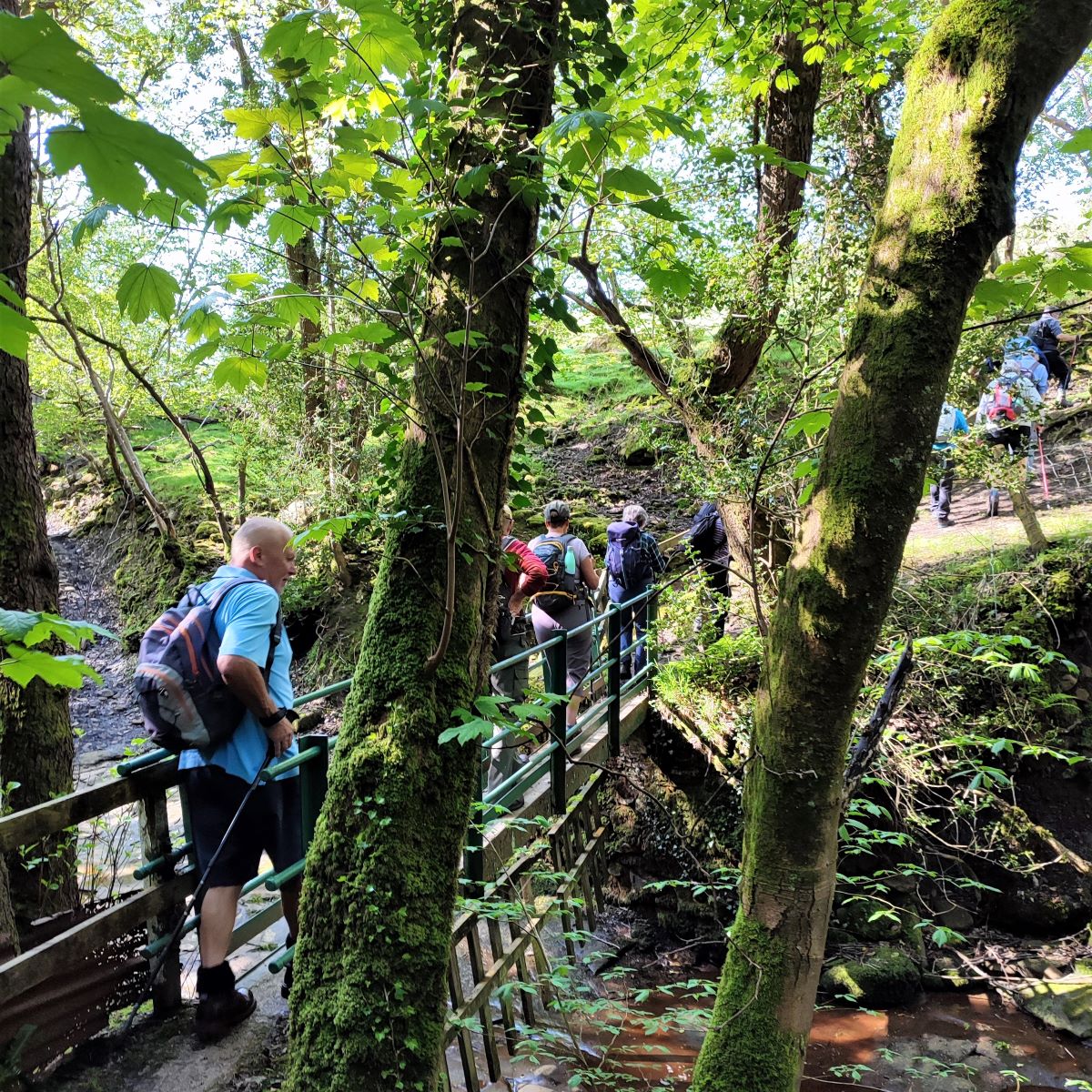
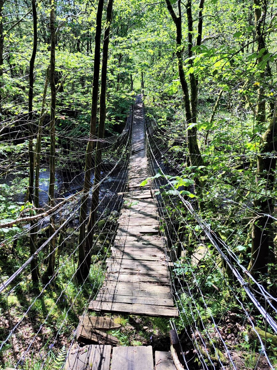
From here the path curves back on itself such that we now head North and steeply downhill to the banks of the Roeburn where we turn right to follow the river downstream. Just before we do that though, glance to the left to see an interesting disused rope bridge over the river. This serviced a camping barn until fairly recently but is now impassable.
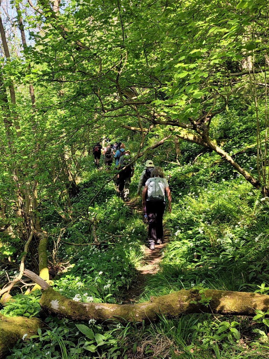
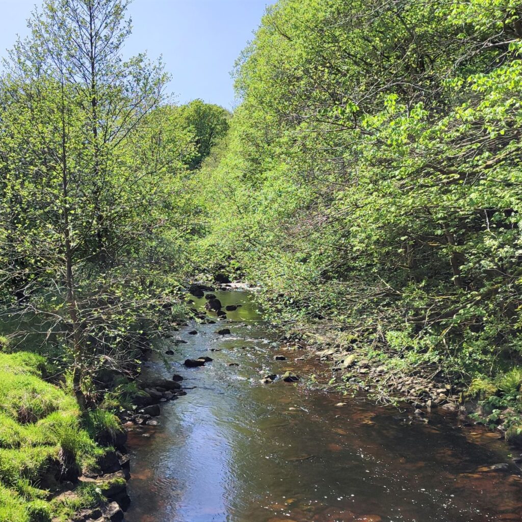
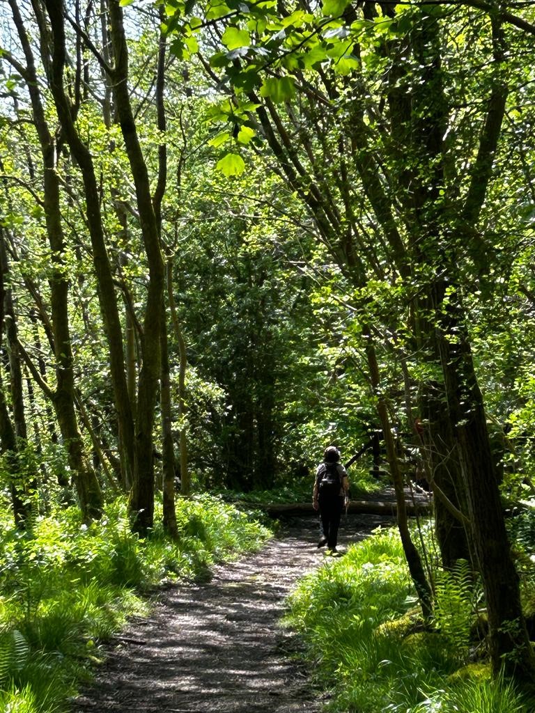
We follow the woodland path North for a while now, on routes that are initially broad and wide but later narrow and steep with some climbing over fallen trees. We are tracking the path of the Roeburn upstream, but the woodland is quite dense so don’t be too concerned if the river is not in sight for a while.
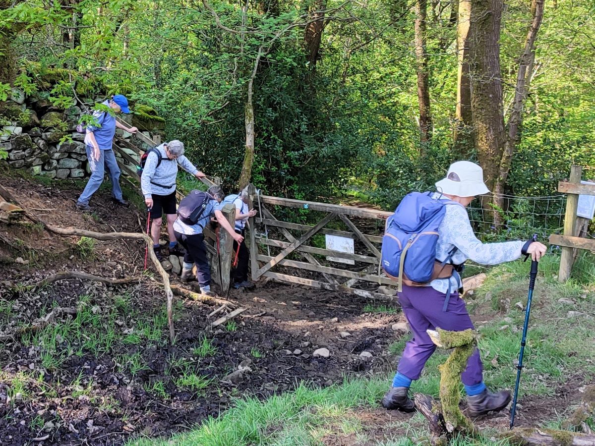
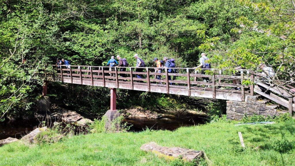
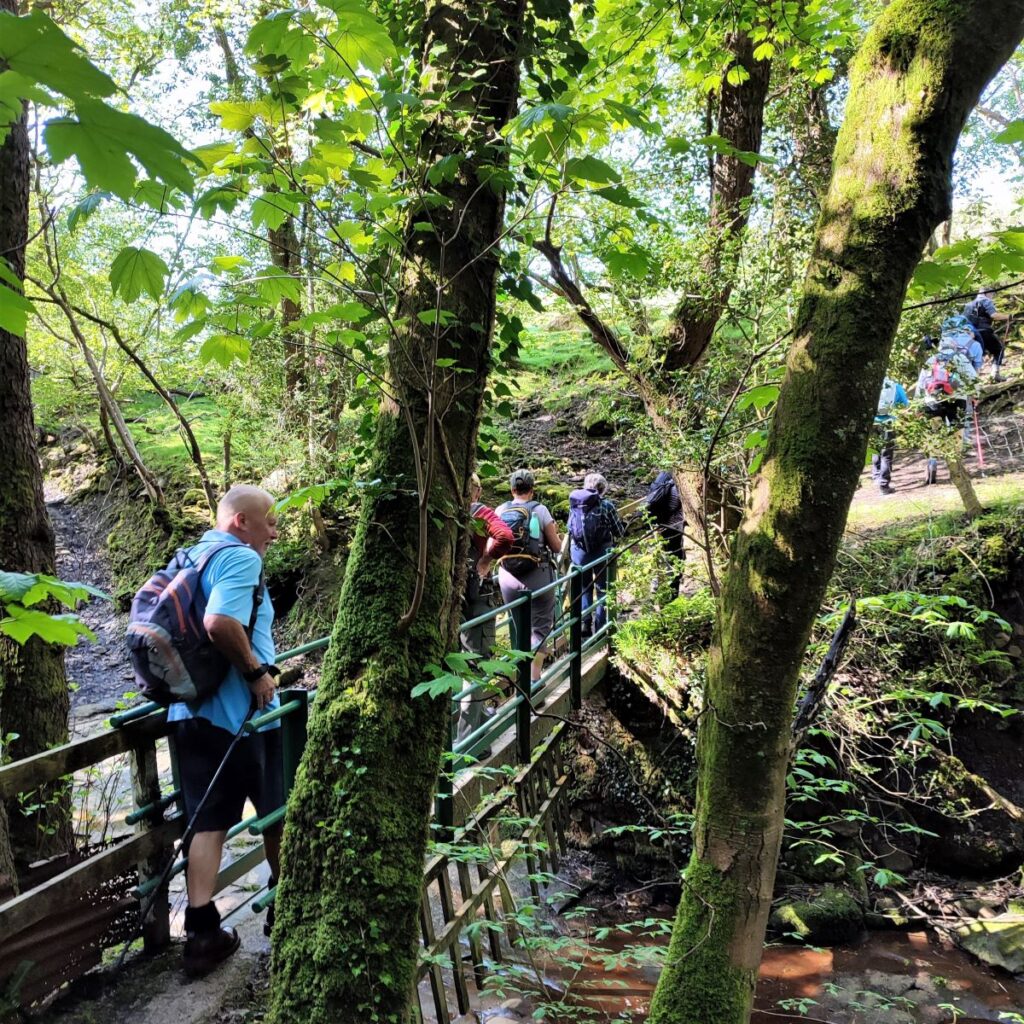
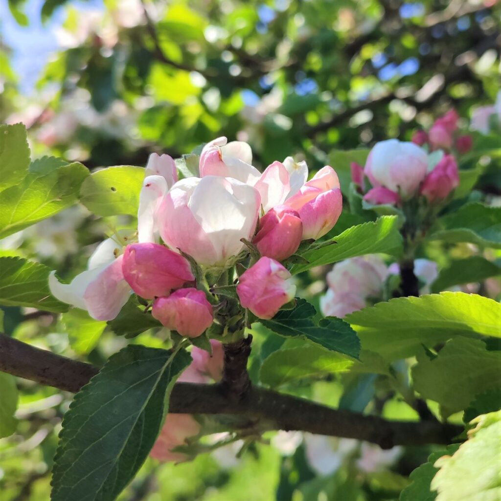
Eventually we arrive at a wooden kissing gate which accesses a riverside meadow, where we follow the path upstream through an orchard and on to a wooden footbridge where we cross the Roeburn. This is where we catch up with the public right of way.
At the time of or visit, the river was gentle with a slow flow. This is not always the case, and Roeburndale is notorious for the flash flooding that can occur during heavy rains. Still etched into local memory is a flood that took place on August 8th, 1967, when the River Roeburn burst its banks and flooded Wray. The trail of destruction included the loss of houses, bridges, livestock, vehicles, furniture and personal possessions, and is commemorated in the flood garden and mosaics in the village located at the site where a number of houses were destroyed. Remarkably, no lives were lost, but many were changed. For more detail, take a look at these sources:
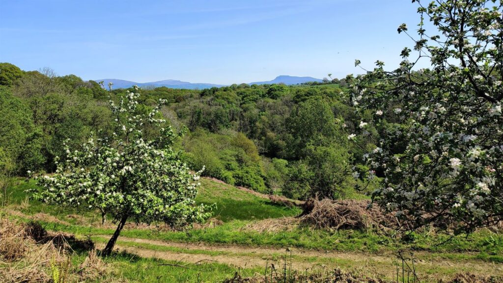
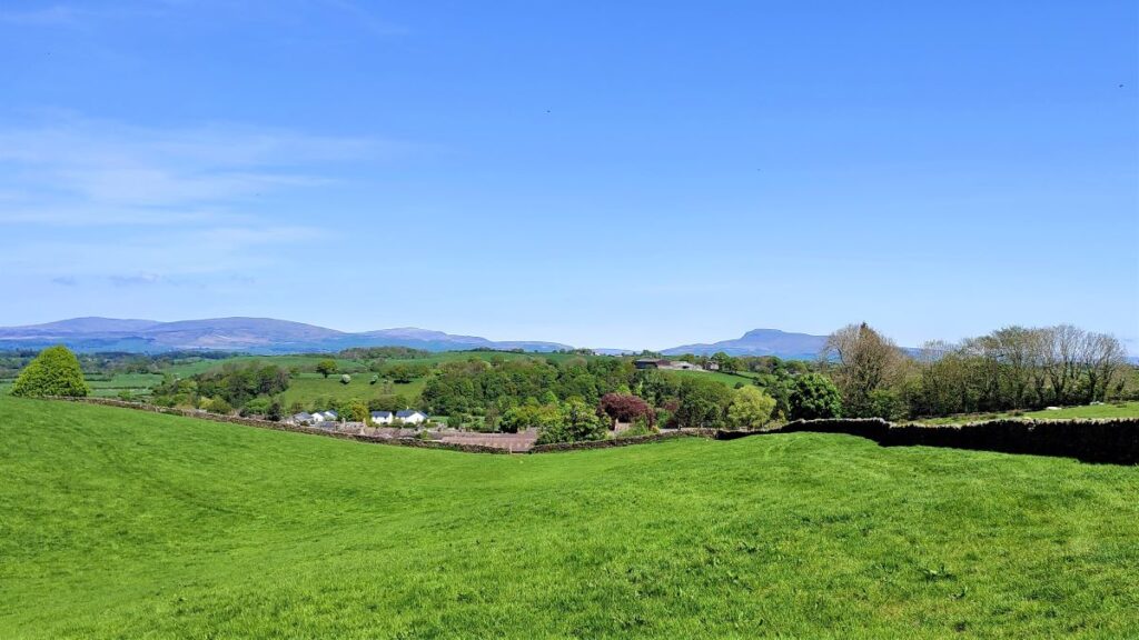
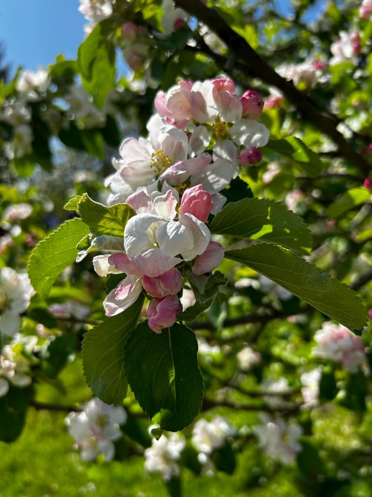
At the far side of the footbridge, we head left on a path that rises up the far side of the valley, initially through woodland and then through an orchard. As we progress, we gain views over toward Ingleborough on a clear day.
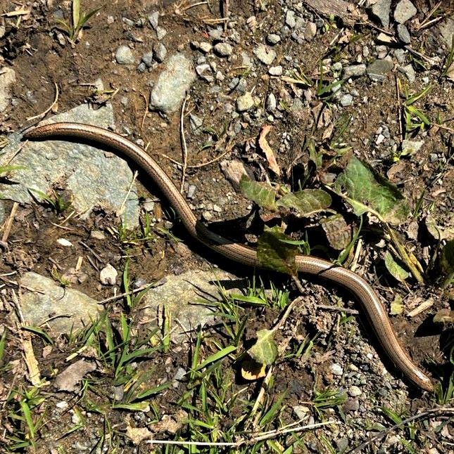
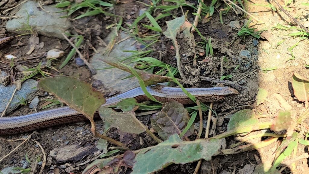
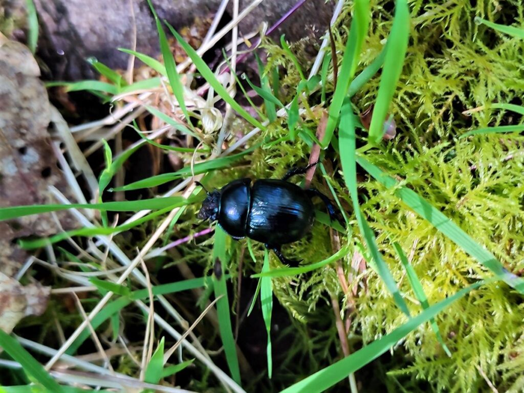
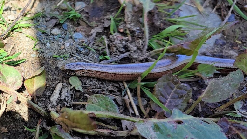
The path zig zags a little, but remains clear and as we rise, you may be lucky, as we were, to spot a slow worm basking in the spring sunshine. Despite looking like a snake, these are in fact lizards that have lost their legs during the course of evolution. For more on these interesting creatures, click here.
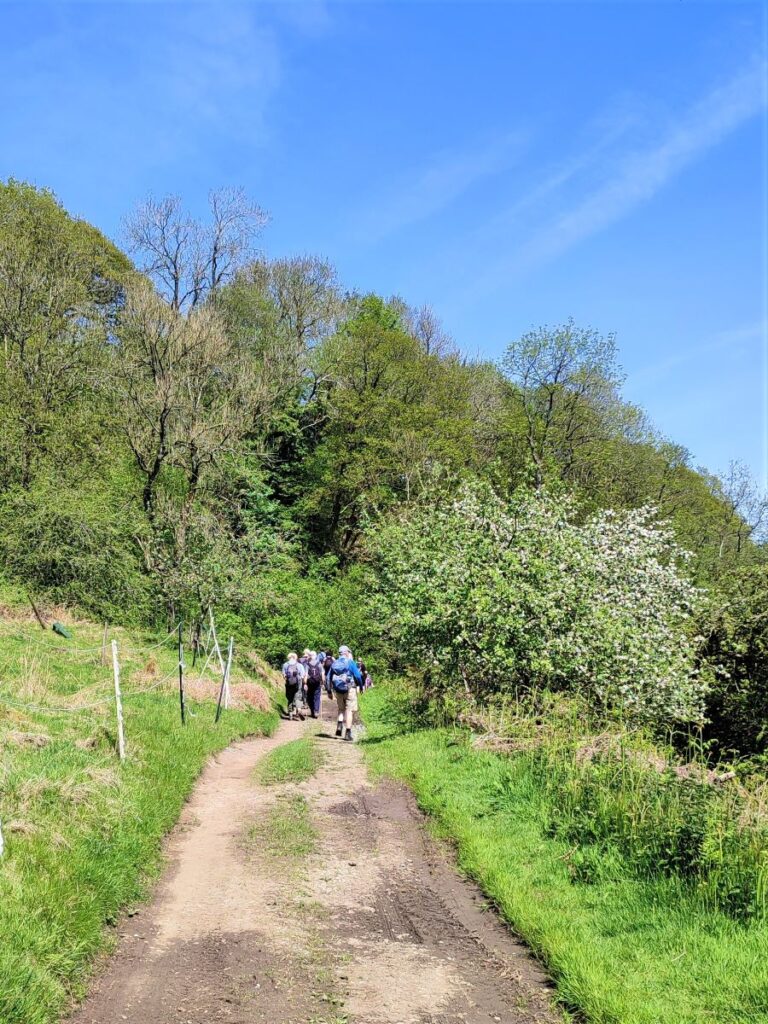
The path continues upward, eventually arriving at Backbottom Farm, an interesting organic enterprise growing more than 200 varieties of apples, with cider and cider vinegar for sale. For more detail, click here.
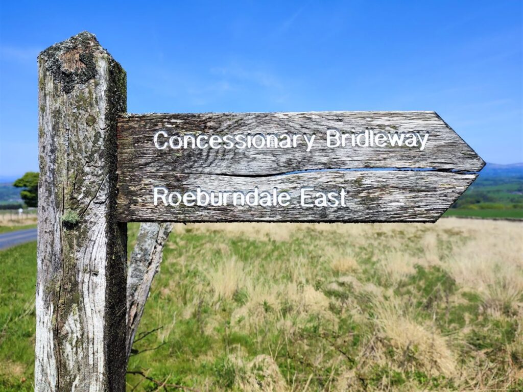
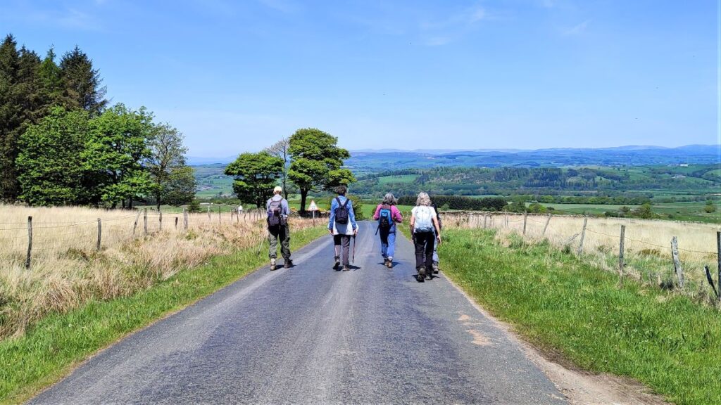
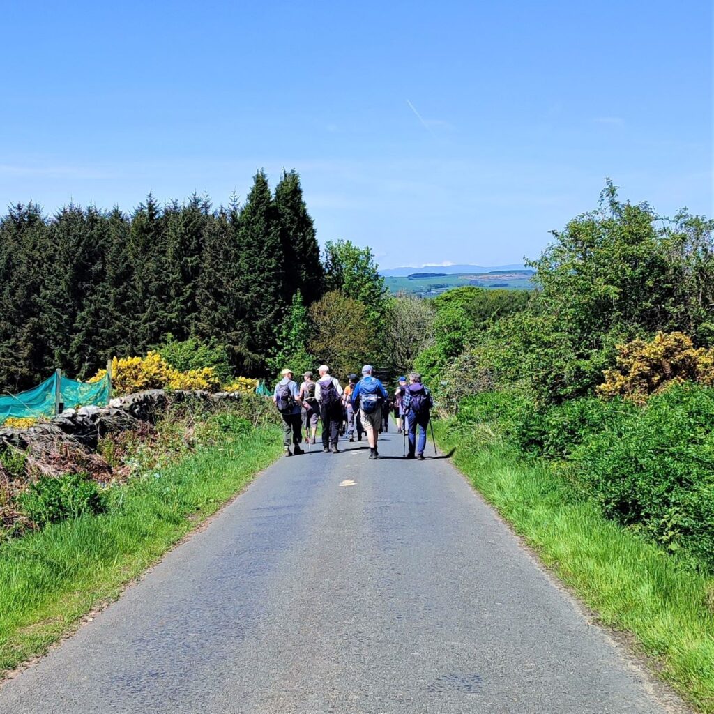
We follow the farm access track up to the metalled road and turn right – we are now on Moor Lane. We follow this for a while – avoiding the distraction of an even smaller road forking off on the right – this goes directly back to Wray, and if you need a shortcut back this is a clear option.
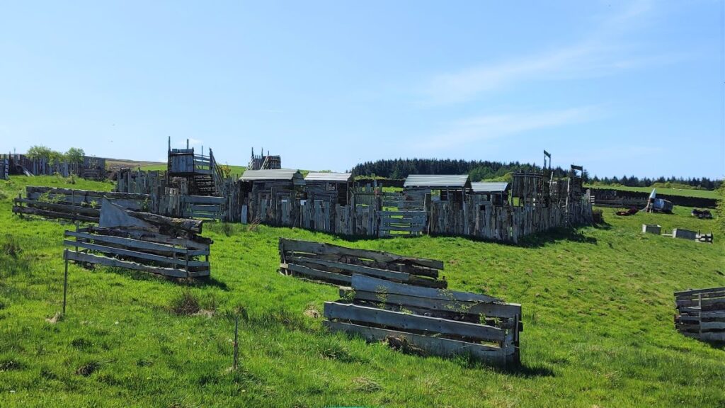
We stay on Moor Lane for a while now, passing a curious site on the left which look like an adventure playground. This is in fact Moor Lane Airsoft – a “skirmish” site with a live combat simulation experience day designed to replicate realistic combat and the intense atmosphere of the battlefield. If that sounds interesting, visit their website more details.
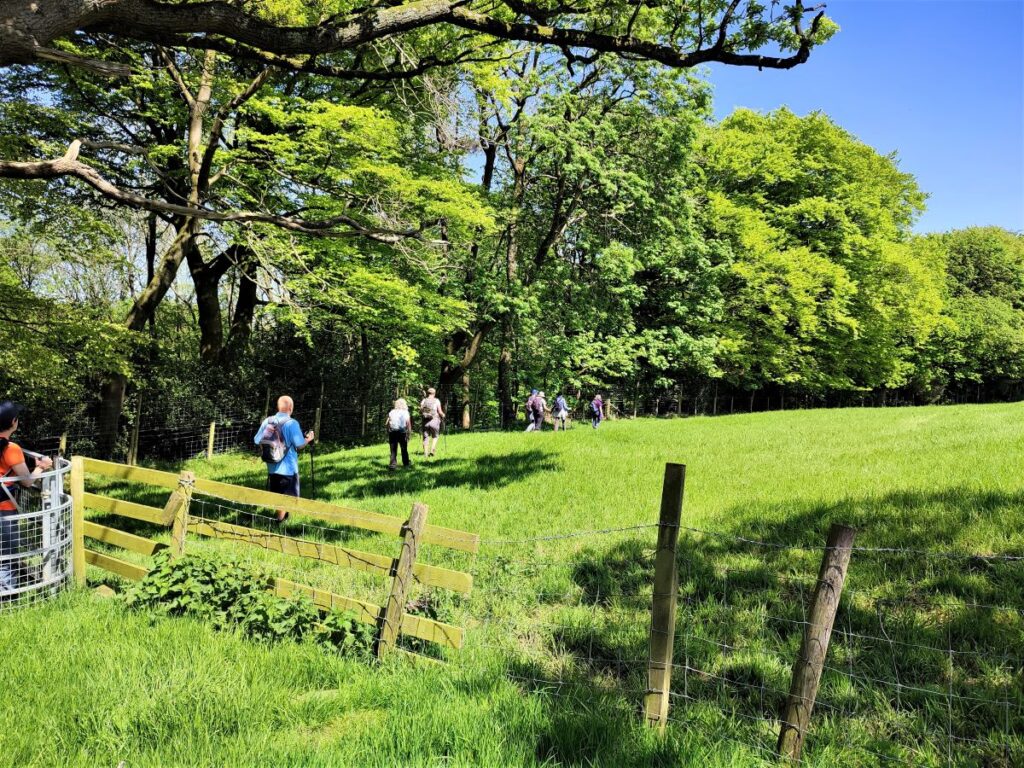
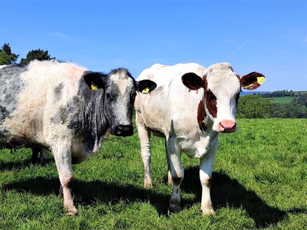
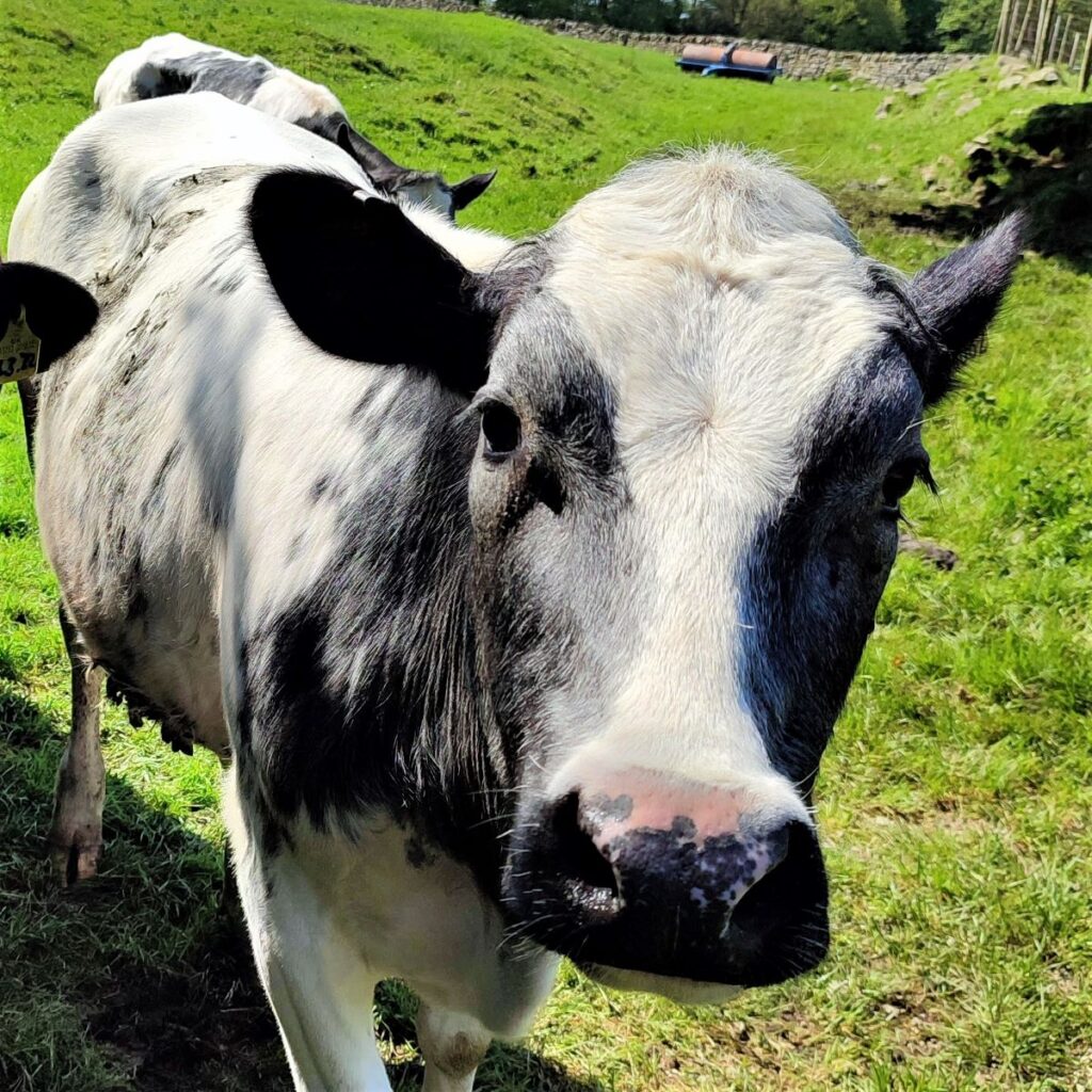
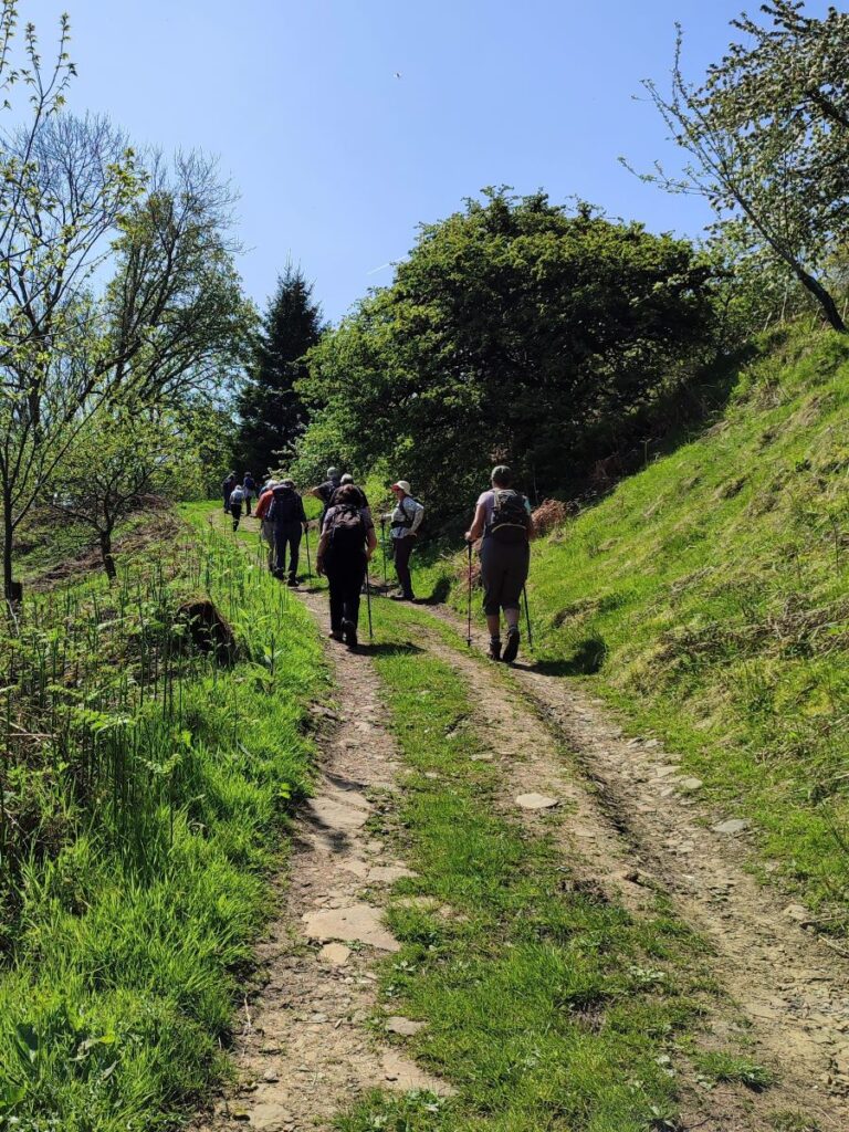
We head on down Moor Lane until we arrive at a waymarked footpath on the right heading through cattle fields and over to Wray. Much of this route has been provided with a fenced off path to keep walkers and cattle separate, but the first section may need the application of common sense.
We cross a couple of fields and soon arrive at the corner of a wooded area known as Neddy Park Wood where the path continues along the edge of the trees, and then through one open field until we arrive back at a small road.
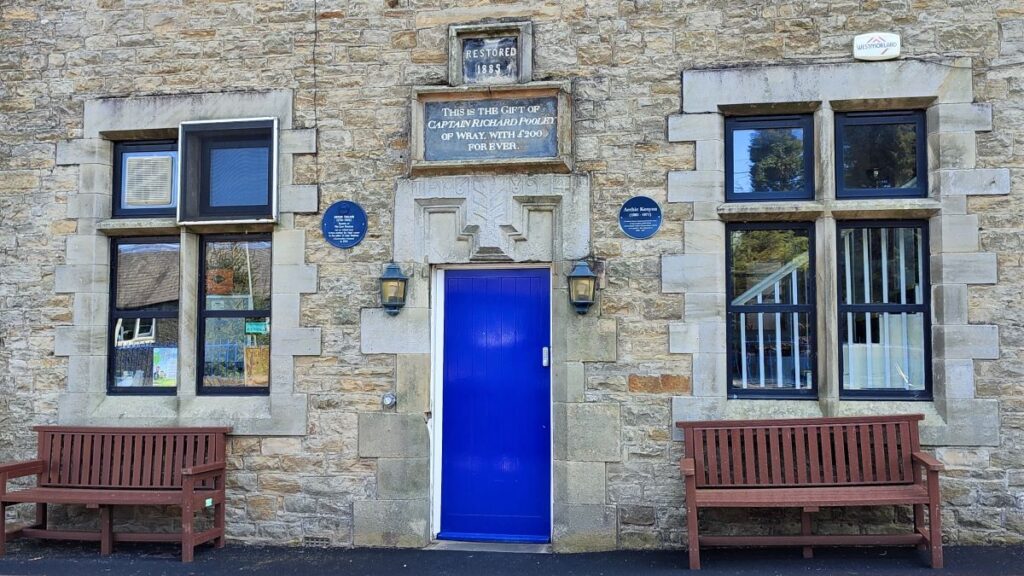
We head left at the road and walk downhill toward Wray. Depending on where you parked, it may be better to stay on this minor road until you reach the village centre, but as we had parked at the Tea Rooms we walked down as far as the Wray Free School, built and operated with a bequest from Captain Pooley, before taking the walkway to the right of the school that leads down to Kitten Bridge.
The building we see now is not the original school – it was rebuilt in 1886, to a design by Austin and Paley, who re-used the original lintel which therefore shows the date 1684 (the year of Pooley’s death). The writing over the entrance reads: “This is the gift of Captain Richard Pooley with £200 for ever”. In 1897 a corrugated iron roof was constructed to the right of the school to provide shelter for the children in wet weather. The notice in the right hand ground floor window is for the Yorkshire Penny Bank. This was open one night a week and was run by a responsible villager. The children were issued with locked metal money boxes that could only be opened by the bank. These Yorkshire Penny Bank money boxes can occasionally be found in local antique shops.
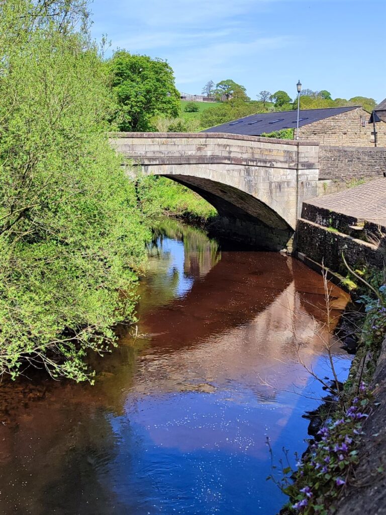
Once we arrive at Kitten Bridge, we cross and then turn left to follow the road back down to main street where the walk ends.