Tarn

Bardsea and Urswick

7.4 miles | 11.8 km | 250 m Ascent | 8.6 Naismith miles | Terri Kwiecinska
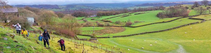
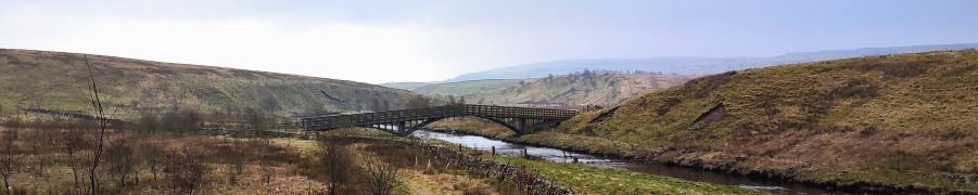
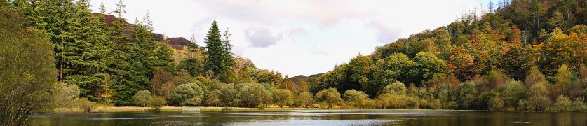
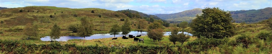
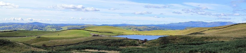
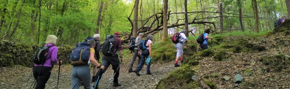
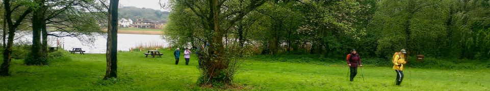
In March 2024, Bentham Footpath Group walked at Flookburgh, and enjoyed views over the Cartmel sands to Bardsea. This time we are on the other side of the estuary for a great walk starting from Bardsea then heading inland to visit Urswick and its tranquil tarn. On the way we have the corresponding views back toward Flookburgh and the whole of Morecambe Bay. We also see a beautiful church, a curious three sided folly, get more than one ice cream opportunity, and pass the site of an ancient hill fort, before noting alpacas, highland cattle and a stone circle. We end by walking on the beach with opportunities to see and hear all the birdlife teeming at the margins. All this with free parking and public toilets.

Bardsea and Urswick Read More »

Winster Valley

8.3 miles | 13.3 km | 391 m Ascent | 10.2 Naismith miles | Kate Rowe
Spring is such an optimistic time of the year, and getting out and about on a walk with friends is a great way to experience it. So the Bentham Footpath Group have developed an informal habit of taking a walk each year that celebrates the season by picking a route that features the best of the new daffodils or bluebells.
So, here is a “daffodil walk”, and as all Wordsworth fans will appreciate, it really has to be in the Lake District to be authentic – which means of course that as well as the spring flowers we get great views of the fells, tranquil tarns and on this walk, links to Arthur Ransome.
Although our focus was the daffodils, this is a great walk at any time of the year. We rate it as “moderate” based on distance and elevation change but you should be aware that it can feel challenging under wetter conditions.

Winster Valley Read More »

Far Moor Bridge and Ribblesdale

7.8 miles | 12.6km | 297 m Ascent | 9.3 Naismith miles | Sandra Craggs
Horton in Ribblesdale is a great place to start a walk, and the “three peaks” are the big draw with Pen-y-Ghent an obvious choice, as is the Sulber Nick route over to Ingleborough.
Both are good walks, but there is much else to see in this area, as we show with a route including a tarn, the stunning Far Moor Bridge, disappearing rivers, atmospheric lime kilns, a National Nature Reserve, extensive limestone pavement, and vast quarries, all of which is accessible via the Settle to Carlisle railway. What more could you want? A blue lagoon? – well there was one until recently, and we can offer pictorial evidence.

Far Moor Bridge and Ribblesdale Read More »

Tarn Hows

6.1 miles | 9.8 km | 261 m Ascent | 7.4 Naismith miles | Kate Rowe
One of the things that differentiates the Lake District from the Yorkshire Dales is the impervious nature of the rock, which means that lakes and tarns can form in valley bottoms – in the Dales water drains though the limestone.
This easy walk focusses on tarns rather than lakes: Tarn Hows was originally three separate tarns, which after landscaping by a former landowner became one larger tarn with water levels controlled by an overspill which feeds a spectacular waterfall.
Our route takes us up the side of that waterfall, round the tarns, then to the National Trust visitor centre before heading down through Tarn Hows Wood to Low Yewdale, then on to High Yewdale, over Shepherd’s Bridge, and then through Harry Guards Wood to Yew Tree Tarn. A lovely stroll around the tarn and then a short woodland section completes the walk.

Tarn Hows Read More »

Lord’s Lot

7.2 miles | 11.5 km | 411m Ascent | 9.2 Naismith miles | Susan Badley
Lord’s Lot is a modest hill in South Lakeland offering tremendous views of the Lakeland peaks to the Northwest and the Howgills to the Northeast. Despite being only a few miles from Windermere this area is refreshingly quiet – the group met no other walkers during our walk despite the near perfect conditions.
This circular walk is classed as easy because it’s below our 12km threshold, but you should be aware that there is some climbing up to Lord’s Lot, and that the paths can be muddy in winter. The views make all this worthwhile though, and if you pick a spring day to do this walk, you can also enjoy the spectacular white blossom that the countless damson orchards in the area produce.

Lord’s Lot Read More »

Backbarrow and Bigland tarn

9.6 miles | 15.4 km | 530 m Ascent | 12.2 Naismith miles | Susan Badley
The Cartmel Peninsula is a popular starting point for walks, and it features in a number of BFG routes.
This circular walk starts at Low Woods near the River Leven just South of Haverthwaite, then tracks up the valley to Backbarrow. We cross the Fell to Hazelrigg and work South to Seatle. From there we walk through woodland to High Cark, and cross Seatle Plantation to visit Bigland Tarn before working down steepish woodland paths back to our start.
This is quite a long walk, so we list it as challenging, but there are no particularly steep climbs nor difficult terrain, and the views toward Windermere and the Southern Lakeland Fells pay dividends, so if this is slightly longer than your normal limit, it’s still worthy of consideration.

Backbarrow and Bigland tarn Read More »

Staveley Tarns

7.0 miles | 11.3 km | 477 m Ascent | 9.4 Naismith miles | Kate Rowe
Staveley is a great place to walk, and one that the Bentham Footpath Group has often visited: Not only is the area beautiful, but it’s easily accessible, and relatively quiet when compared with the “honeypot” towns of Kendal and Windermere, between which it sits.
This walk falls within the distance and ascent parameters for a BFG “easy” walk, but you should expect some steep climbing as we set of to find three of the tarns on Potter Fell: Potter Tarn itself, then Gurnal Dubs, and finally Ghyll Pool.
We return via Hundhowe and Hagg Foot and then track upstream along the banks of the river Kent as it winds through the woodland at Beckmingle Ing.

Staveley Tarns Read More »

Bouth

9.8 miles | 15.8 km | 665 m Ascent | 12.1 Naismith miles | Susan Badley
Starting from a convenient and little-used layby on the A590 at Pool Foot, we head upstream to the village of Bouth. From there we enter Old Hall Woods and head over to Colton before taking a path North to Oxen Park.
We then pick up a woodland route over to Whitestock Hall before a short section on-road brings us to Hulleter. Excellent views across the Rusland Valley and Rusland Moss National Nature Reserve are enjoyed through this section of the walk.
At Hay Bridge we enter the nature reserve with its tranquil tarns, before heading over to Moss Wood. This track brings us back to Bouth, but rather than returning exactly as we started, we now turn right and head toward the woodland at Ashes Intake. We divert back to the causeway south of Bouth before retracing our steps back to the start

Bouth Read More »