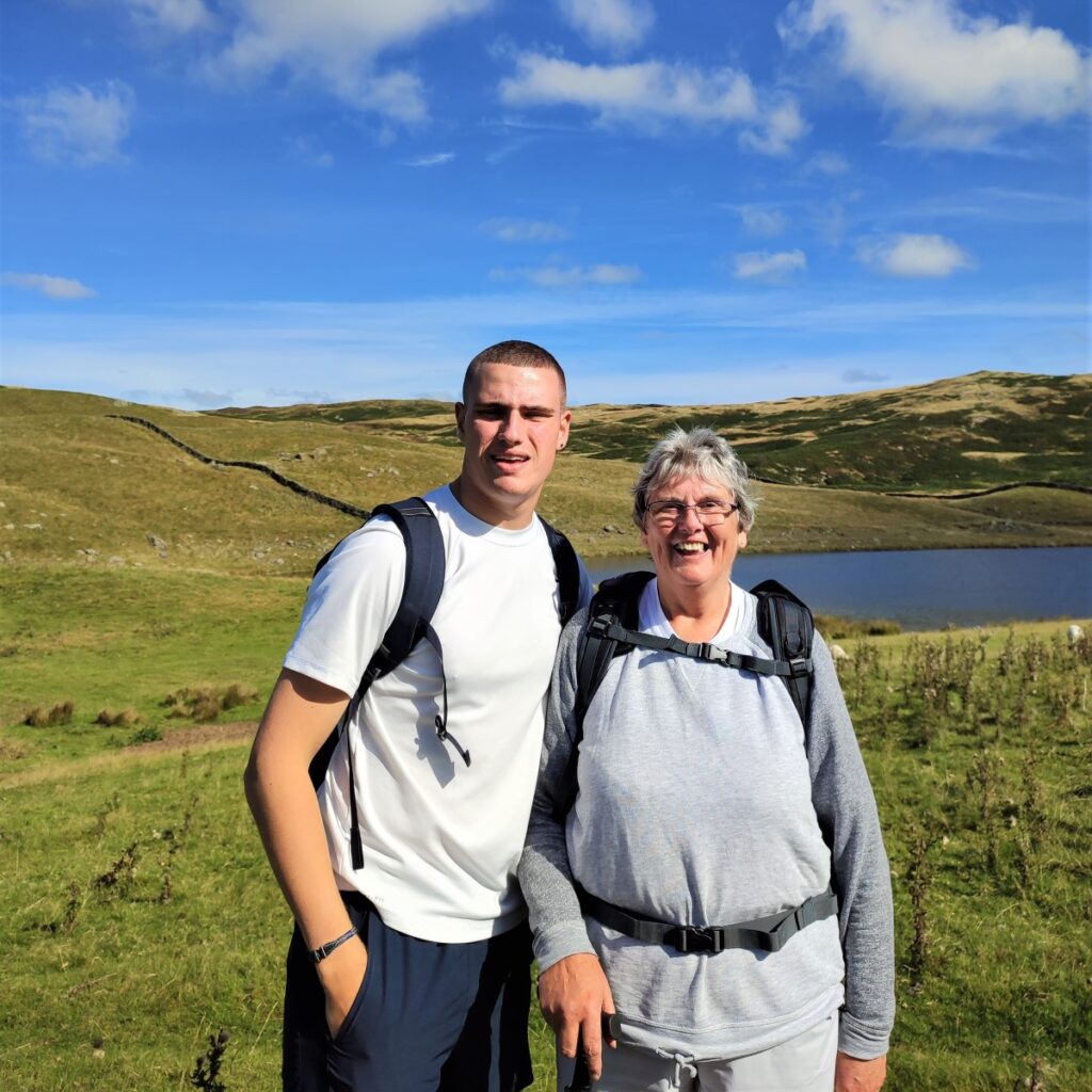
Staveley is a great place to walk, and one that the Bentham Footpath Group has often visited: Not only is the area beautiful, but it’s easily accessible, and relatively quiet when compared with the “honeypot” towns of Kendal and Windermere, between which it sits.
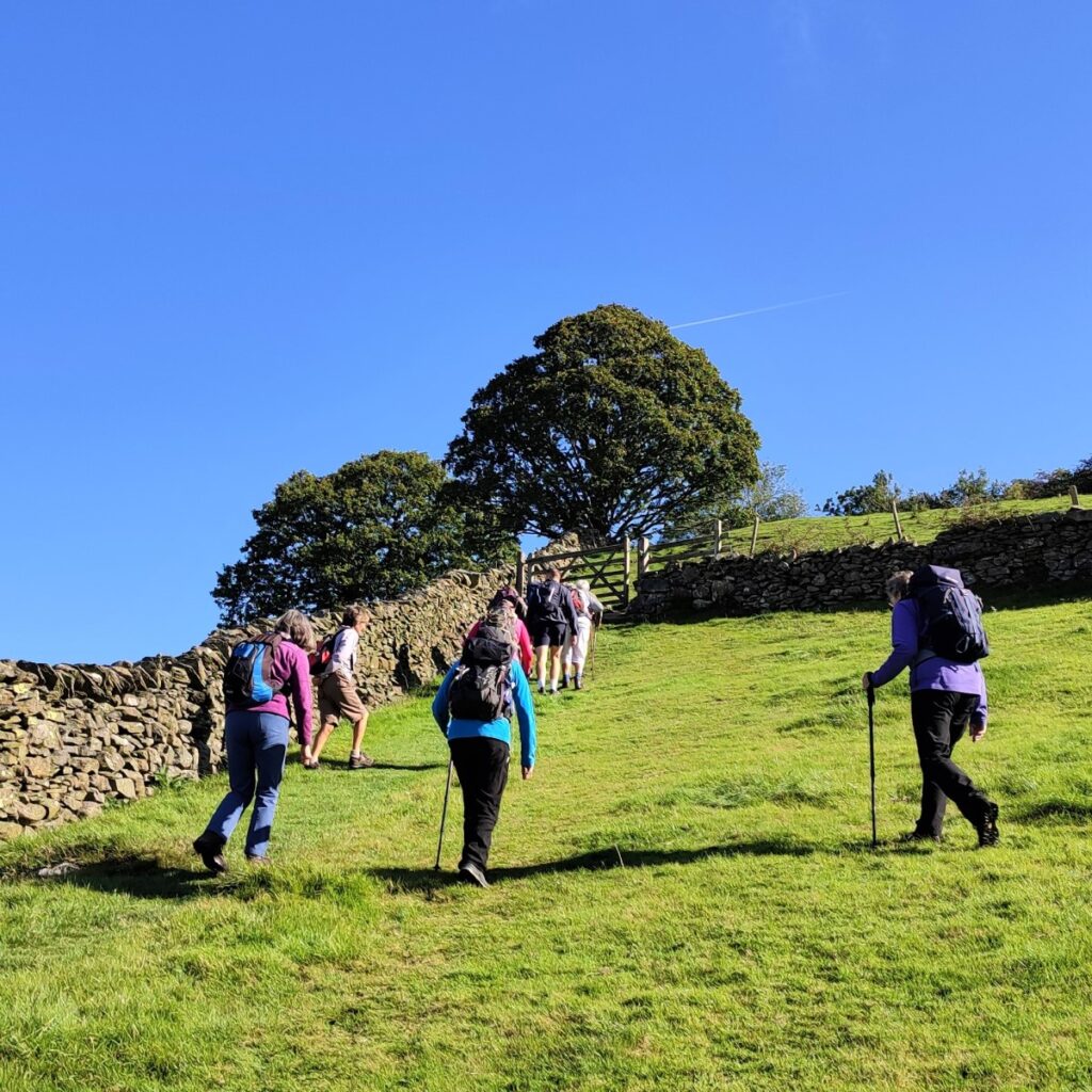
This walk falls within the distance and ascent parameters for a BFG “easy” walk, but you should expect some steep climbing as we set of to find three of the tarns on Potter Fell: Potter Tarn itself, then Gurnal Dubs, and finally Ghyll Pool.
We return via Hundhowe and Hagg Foot and then track upstream along the banks of the river Kent as it winds through the woodland at Beckmingle Ing.
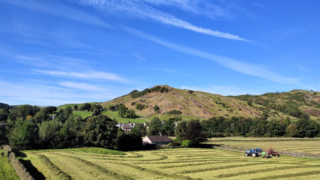
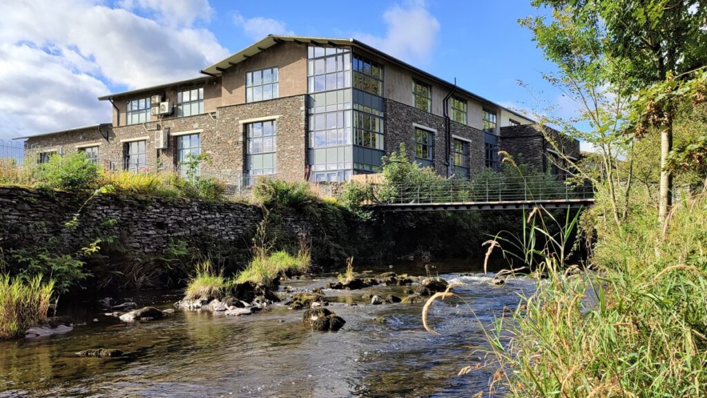
Staveley is just North of the A591 which runs between Kendal and Windermere – signage from the main road is good, and once in the village parking is generally available at Staveley Mill Yard – an attractive cluster of small artisan businesses offering an impressive ranger of goods and services. Lending your support to these businesses may well be the ideal addition to this walk.
Satnav users can use Back Lane Staveley, or LA8 9LR as an address, whilst paper map users need grid reference SD66576936, or if what-3-words is your preferred navigation tool, the tag angers.defected.breaches will work well.
Update: Parking in Staveley was free when this walk was documented. Since then, rather steep parking charges have been introduced at the recommended starting point. Alternatives could be arrival by train, or the station car park.
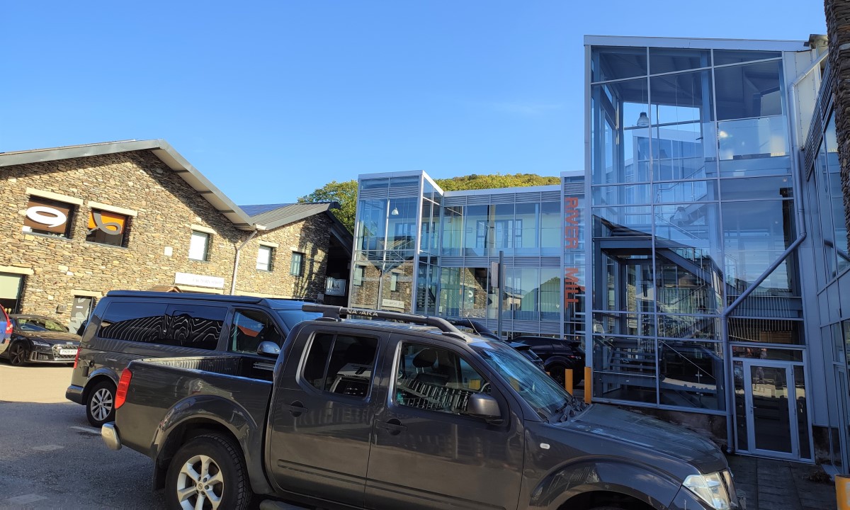
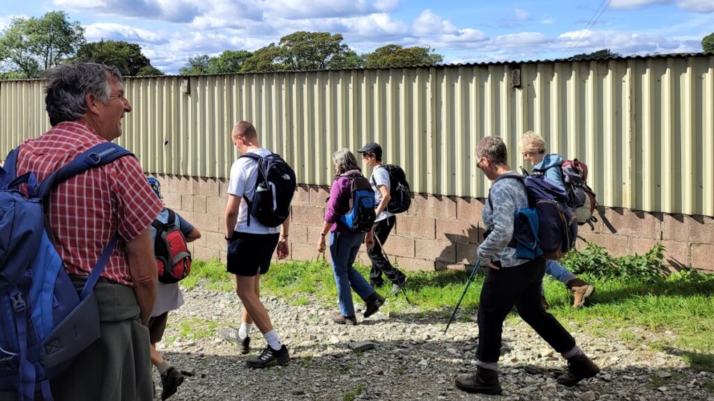
Having parked it’s worth taking a moment to wander around the Staveley Mill Yard site before setting out on the walk.
Staveley Mill was built some time before 1829 and was initially known as Low Mill. The primary business of the mill was the manufacture of wooden spools or bobbins – needed in vast numbers for the textile industries of Lancashire and Yorkshire at the time.
Kentmere Reservoir, situated north of Staveley beyond Kentmere village was built to regulate the flow of the river for the benefit of mills and other industries downstream. When the mill was in use, it employed a large water wheel to power the drive shafts of the machines, and the remains of that infrastructure can be seen upstairs in Wilf’s Café.
In the 20th century, The Staveley Wood Turning Co. Ltd. cleverly switched much of its production into tool handles and was able to prosper despite the introduction of plastic reels and bobbins into textile manufacture during the 1950s.
Much of the wood used by the wood mills was imported and by the 1990s most of the market for finished goods was also overseas, so the company restructured with operations in Poland, Sri Lanka and Malaysia. Some packing and finishing was still carried out in Staveley, but this needed no more than ten people, so the former coppice drying sheds and timber stores were converted into light industrial units and shops.
When the business finally closed the remaining mill buildings were converted to artisan business units – there are now over 30 businesses on the site creating over 200 jobs.
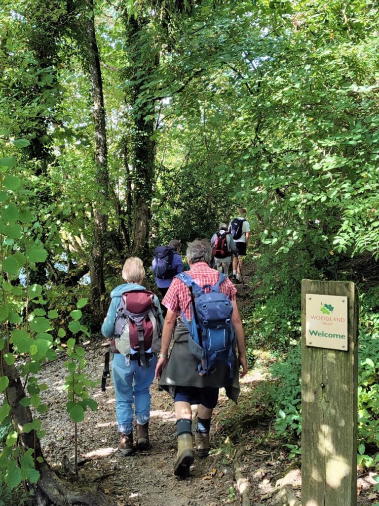
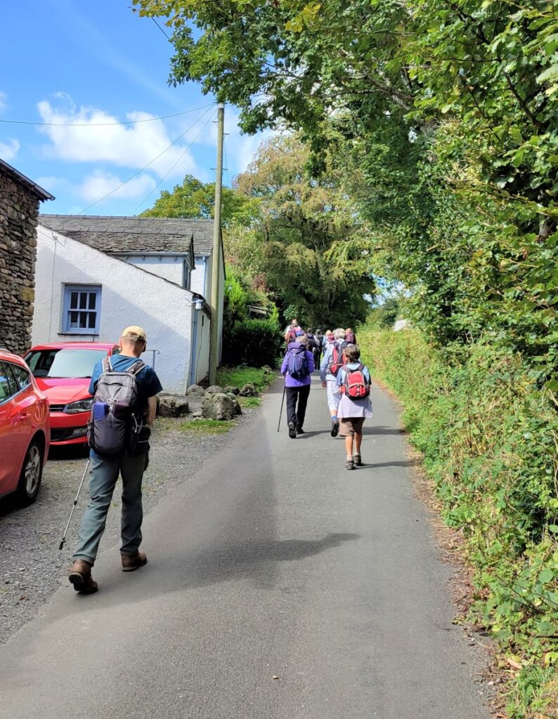
To start the walk, head down to the pedestrian bridge over the river Kent at the corner of the site furthest from the car park, cross the bridge and then turn left to head upstream. You will find that the path here is wide and very well surfaced, and this is because it’s part of an admirable initiative called “Miles Without Stiles” which is a National Parks scheme to create routes that are accessible to all: This includes wheelchair users, families with pushchairs, the visually impaired, and anyone who wants an easier walk with no scrambling, climbing or steep hills. There are 50 miles of such accessible trails, in the Lakeland area – details here.
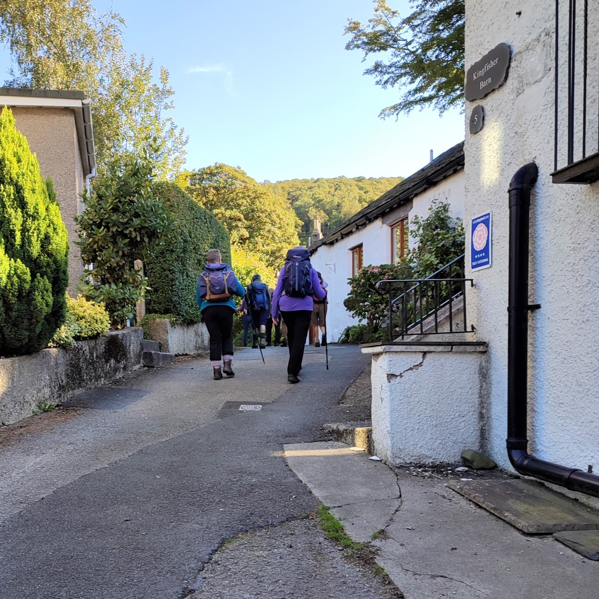
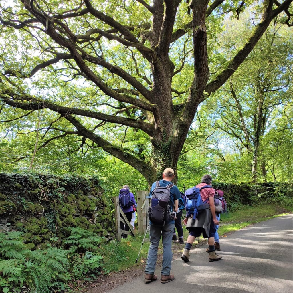
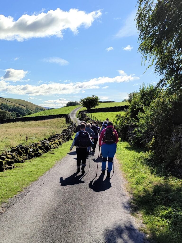
Continue until the path joins a minor road and then walk left along the road – still with the Kent on the left, and still heading upstream. We soon arrive at a cluster of buildings, just before Barley Bridge, and at this point we look out for the footpath leaving the road on the right hand side.
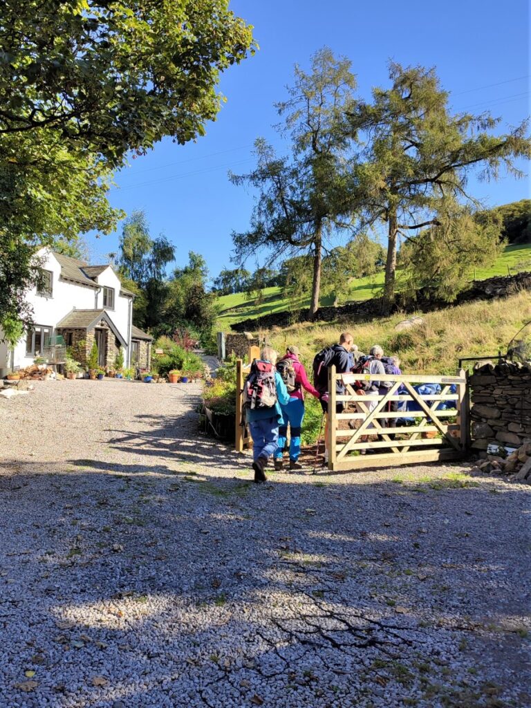
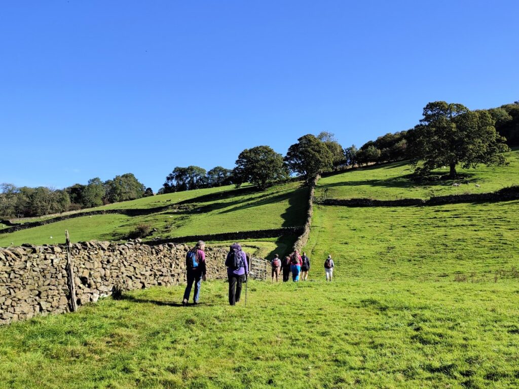
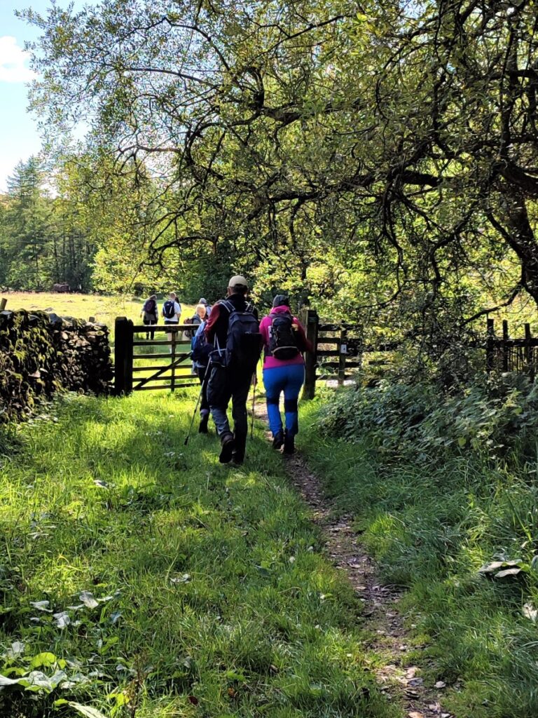
The path is initially a well-made drive giving vehicle access, but before long becomes the track to an attractive white farmhouse, and we take the wooden gate before the farmhouse to give access to the steep footpath up onto the fells.
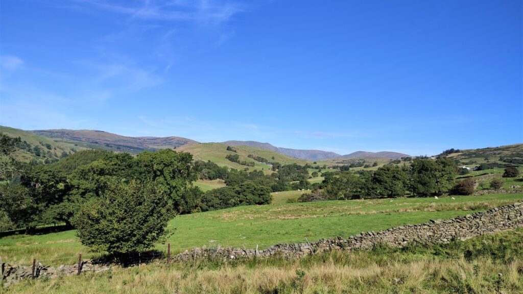
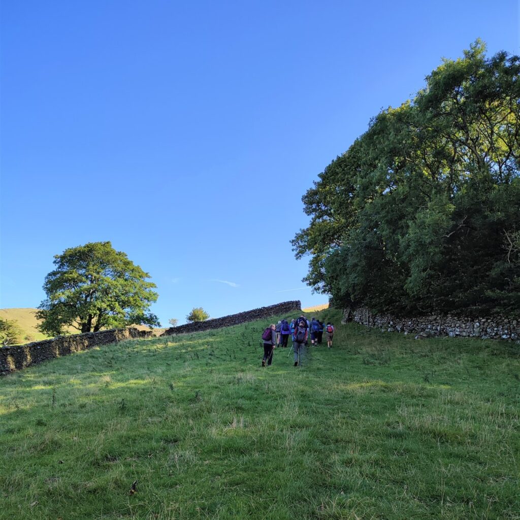
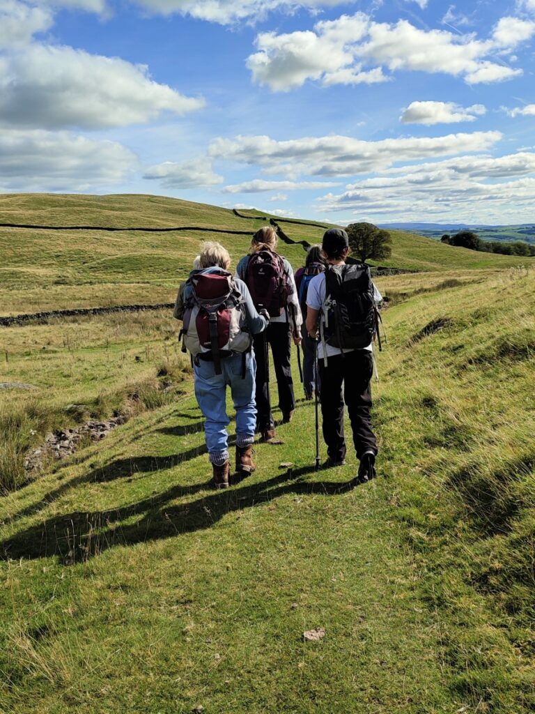
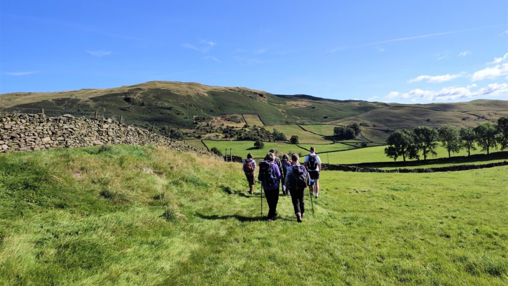
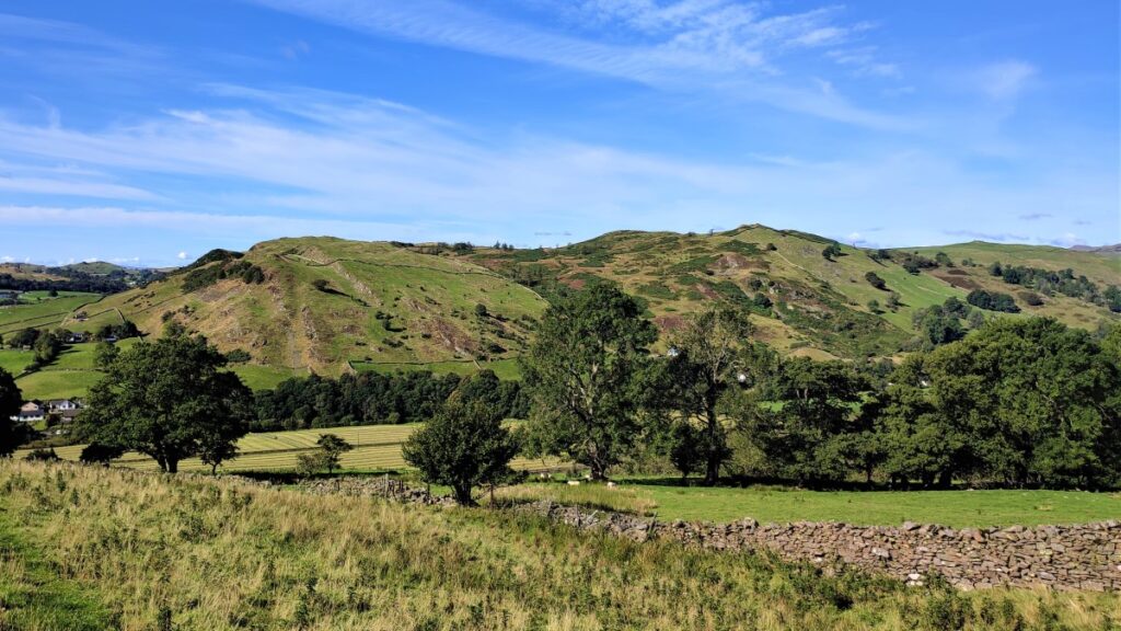
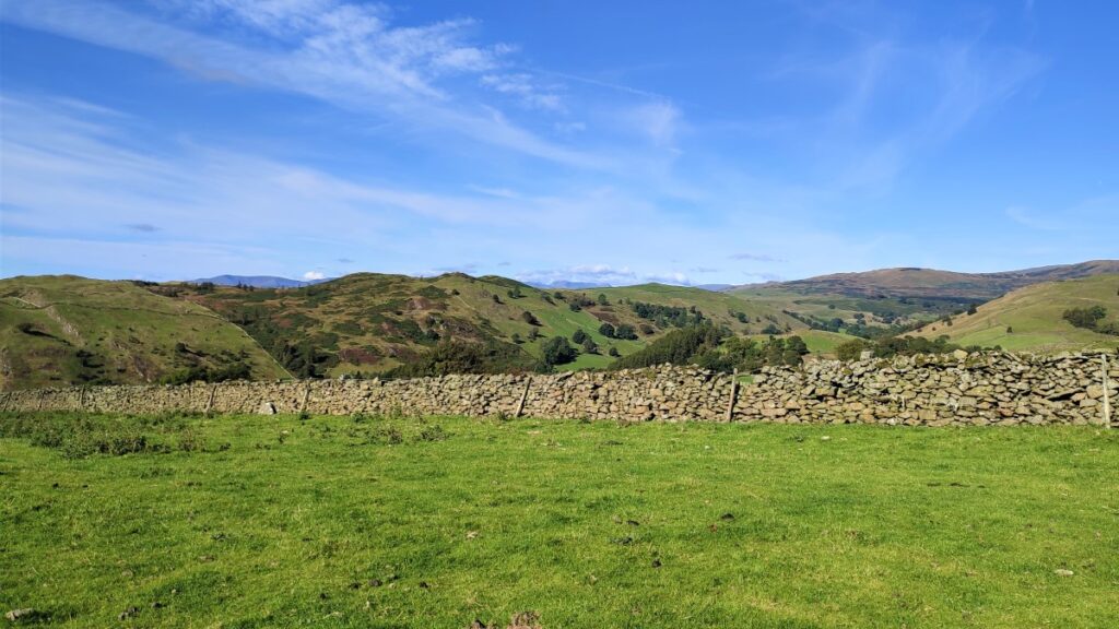
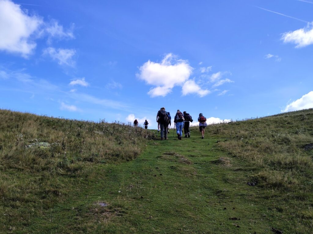
From here, the path meanders over toward the left and the follows the line of the wall uphill – the slope is quite steep initially, so take the opportunity to stop from time to time and enjoy the view that is unfolding behind us: Hughill Fell sits to the right (North) just outside Staveley, with High Knott at its peak.
The monument on its summit was built by the Reverend T. Williamson in 1803, in memory of his father Thomas Williamson, who it is reportedly climbed the fell every day before breakfast. The fell is the subject of a chapter of Wainwright’s book “The Outlying Fells of Lakeland”. Rather miserably, access to the summit is forbidden by the landowner.
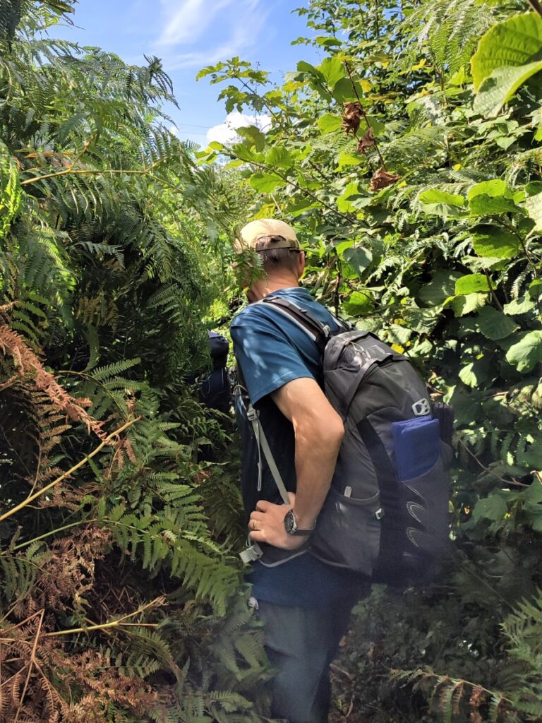
Over to our right as we climb is a densely wooded area known by the rather inspired name of Craggy Plantation – and it’s worth noting that there is a footpath through this woodland which can form the basis of a number of alternate walks – although as at September 2022, storm damage and tree removal works hamper this.
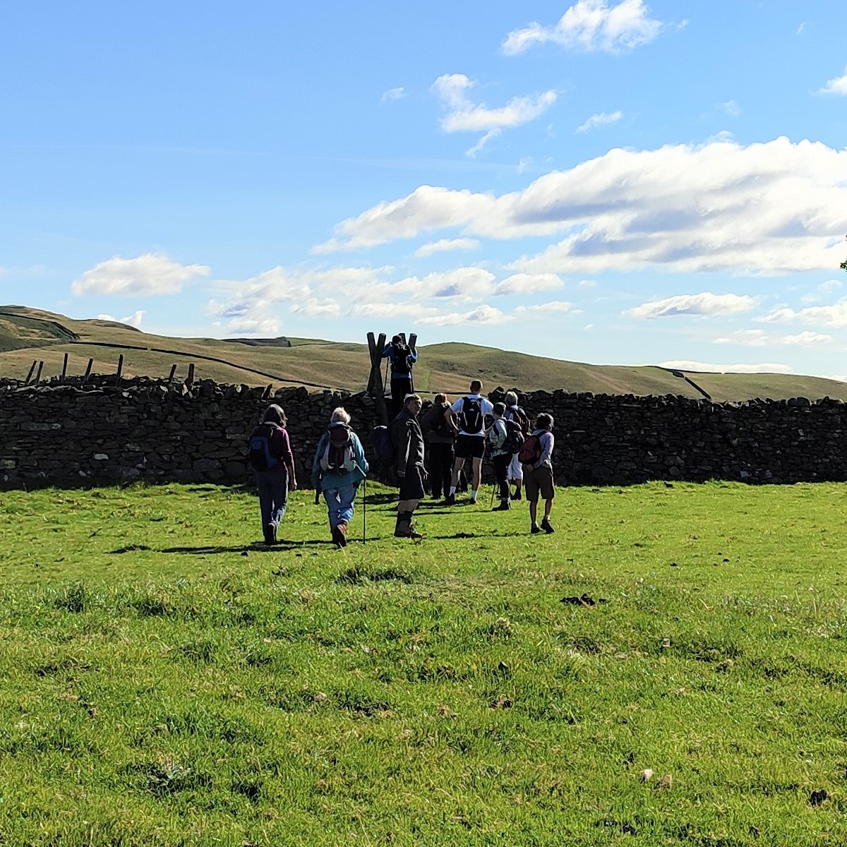
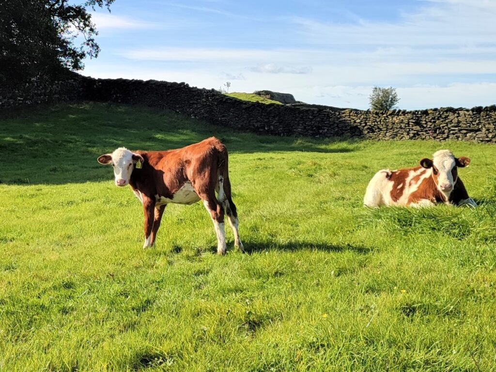
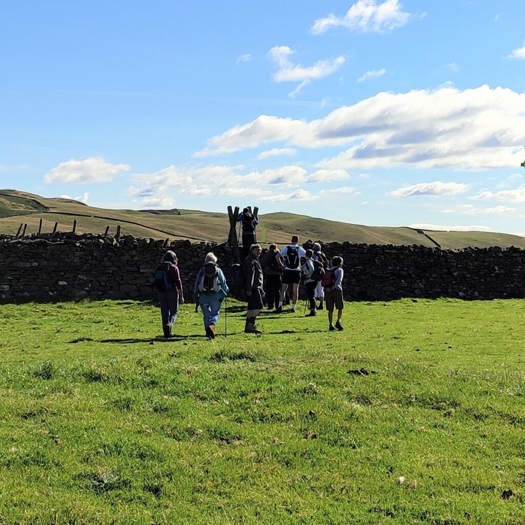
We carry on uphill until the path levels out and approaches a large ladder stile. This takes us into a field where cattle usually graze.
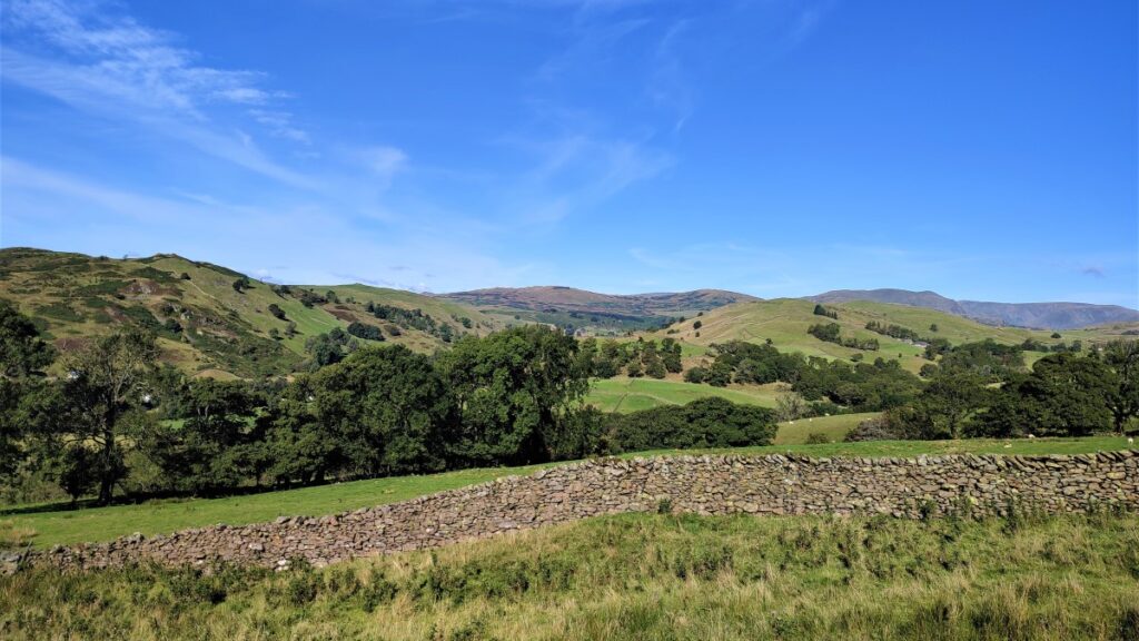
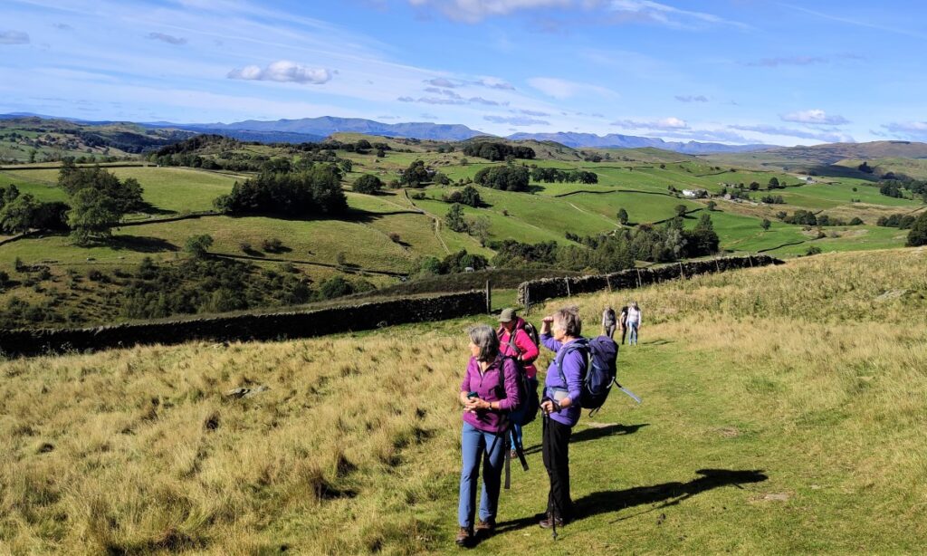
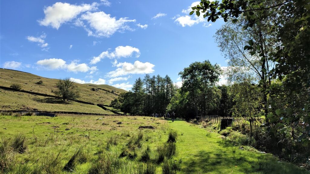
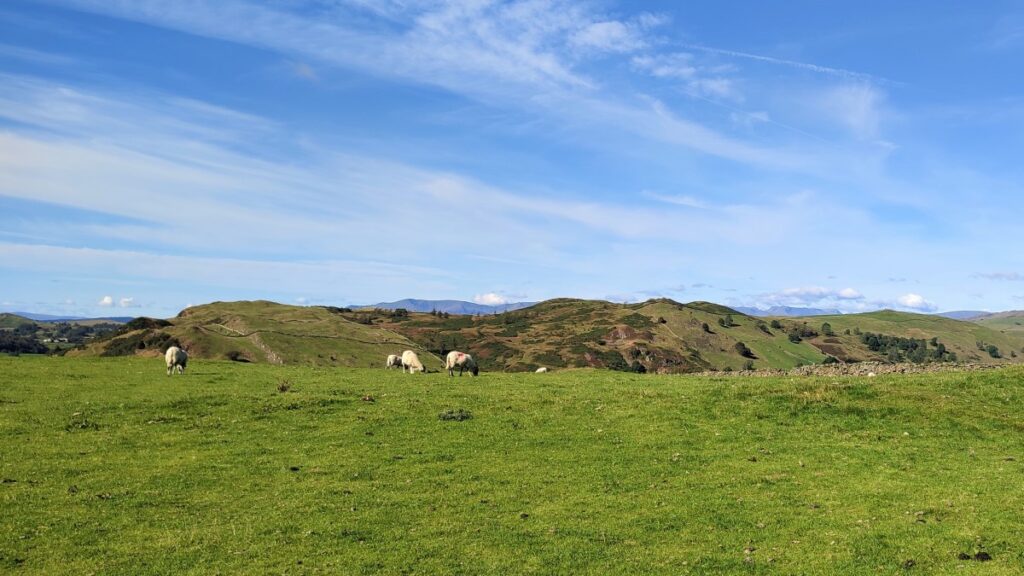
The path continues ahead, still with the wall on our left, and now with views across the valley toward Brunt Knott.
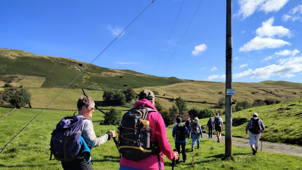
We now start to head gently downhill, heading toward the buildings at Littlewood Farm. Our direction of travel is Northeast, and we should note that for the last two fields, the wall is now on our right.
When we arrive at Littlewood farm, we find a small, metalled road, and turn right to walk along the road. We continue until the road forks – with the main route going right and a smaller track on the left. We take left – and head East toward a farm at Birk Field.
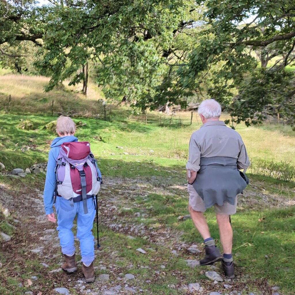
At the farm buildings, the path is clear, and leads to a small footbridge over a stream – cross and turn right before following the course of the stream for a while.
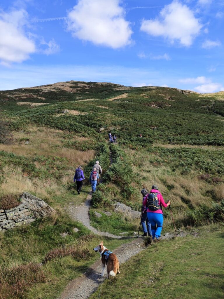
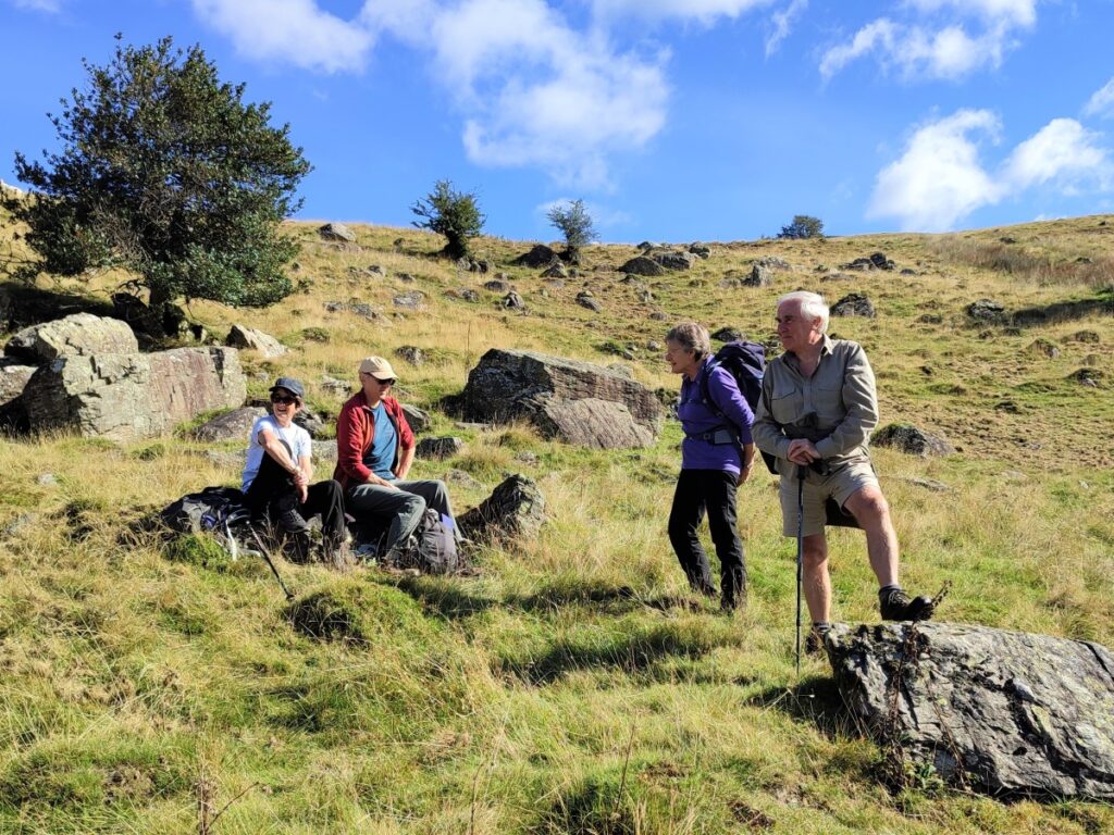
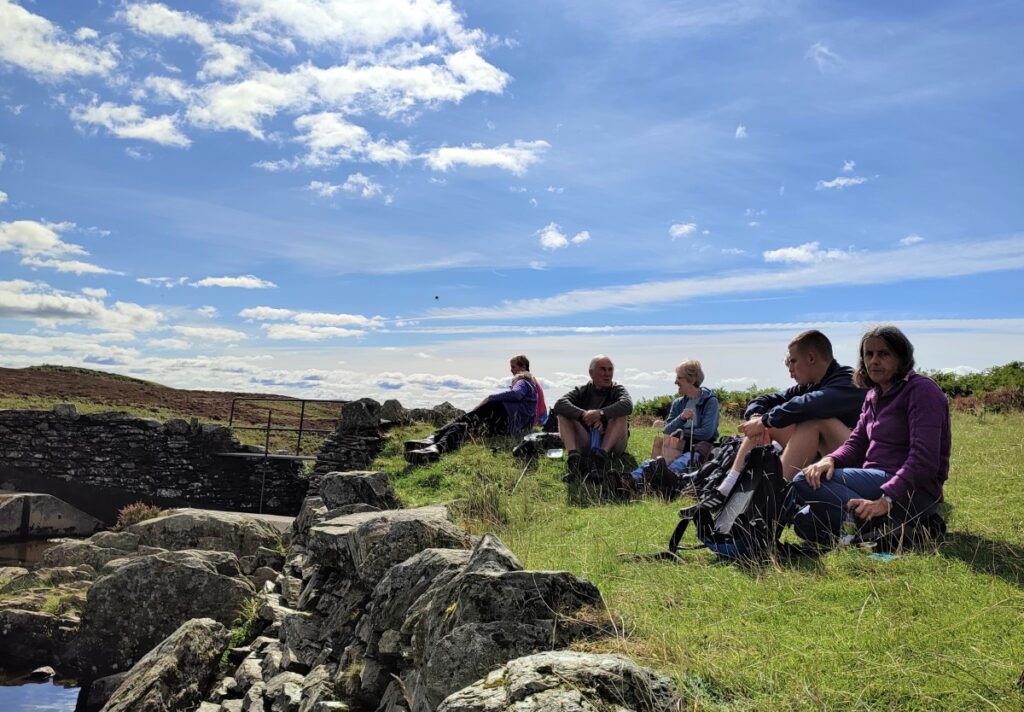
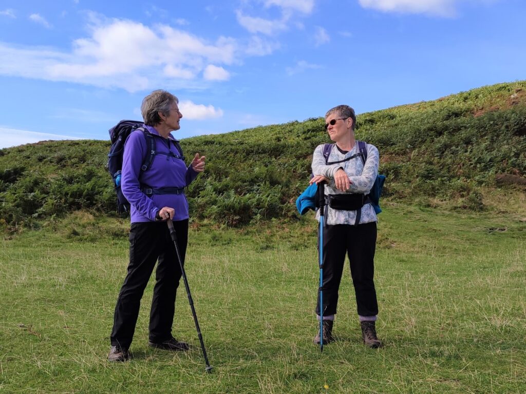
The path branches ahead and we take the (much more obvious) left hand option which takes us up onto the fell via a five bar gate. This is a sheltered spot with lots of rocks to sit on, so a break here is a good option.
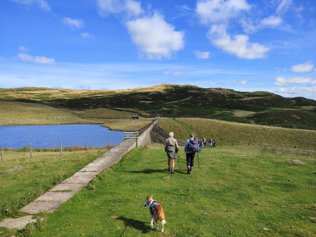
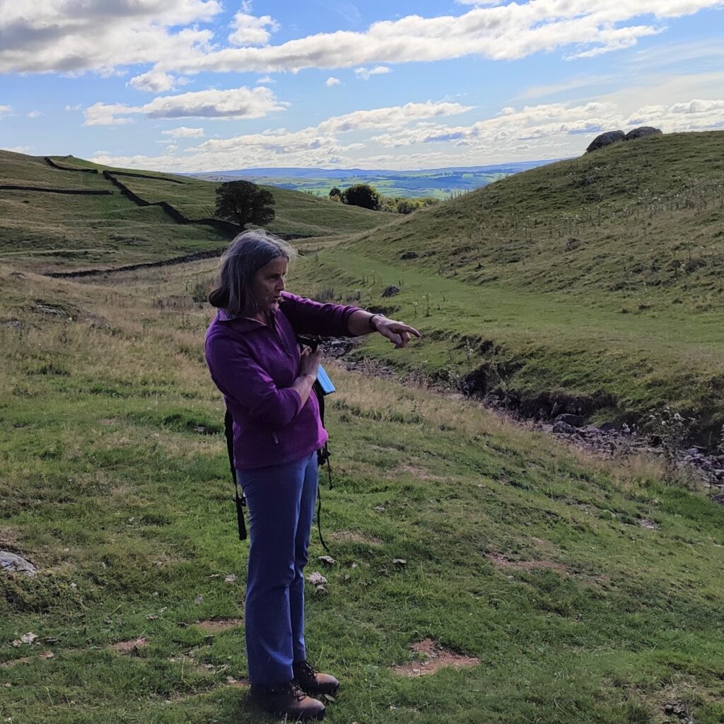
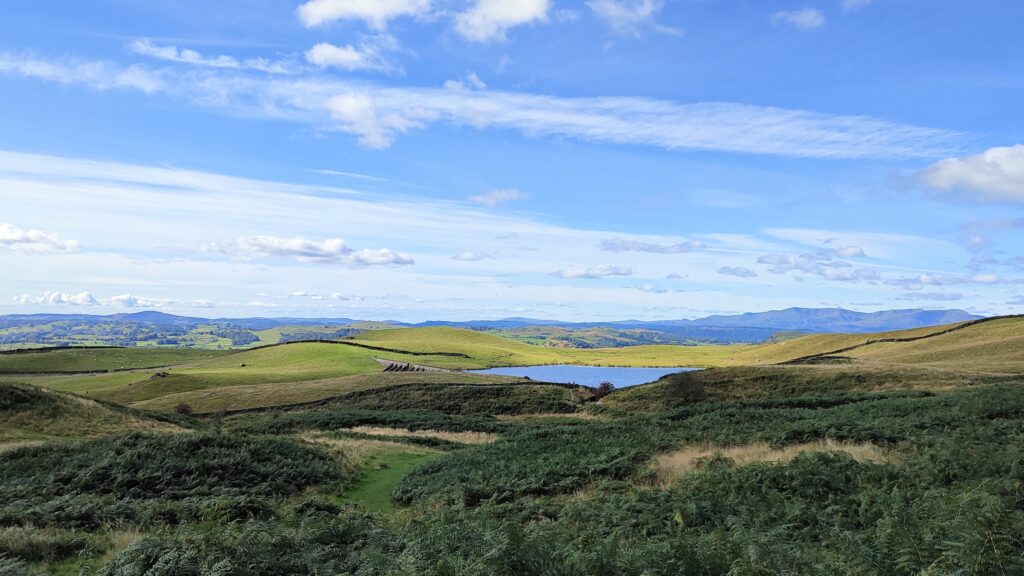
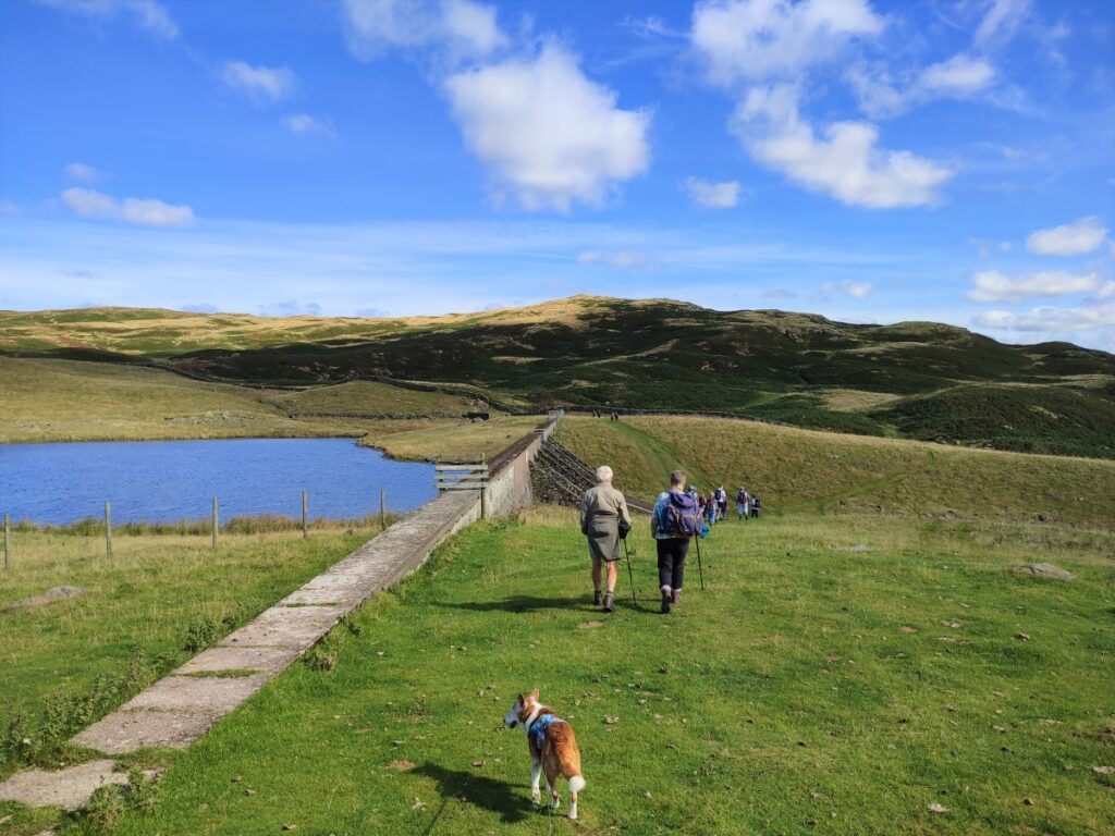
From here we head uphill along a clear path heading in an Easterly direction toward Potter Tarn. Despite the name, this body of water is not a tarn in the traditional sense – a small lake filling a depression left by retreating glaciers – rather it is a reservoir, built to extend an existing smaller natural tarn to supply water to James Cropper’s paper mill.
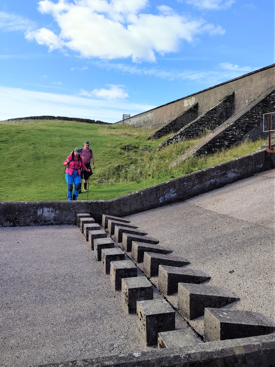
It is now significantly smaller than initially built – a change prompted by the dam becoming structurally unsafe and requiring a reduction in the water level and the construction of a new spillway in 1990.
From Potter Tarn, we cross the spillway via a series of stepping stones and continue along the path – which remains clear – and onward toward our second Tarn, Gurnal Dubs. This is only a short distance away, and although it requires us to walk out and back along the same route, the repetition is well worthwhile, not only because the tarn is so attractive, but because the views are so different in the two directions.
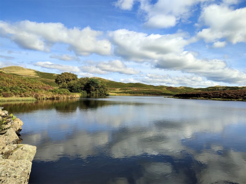
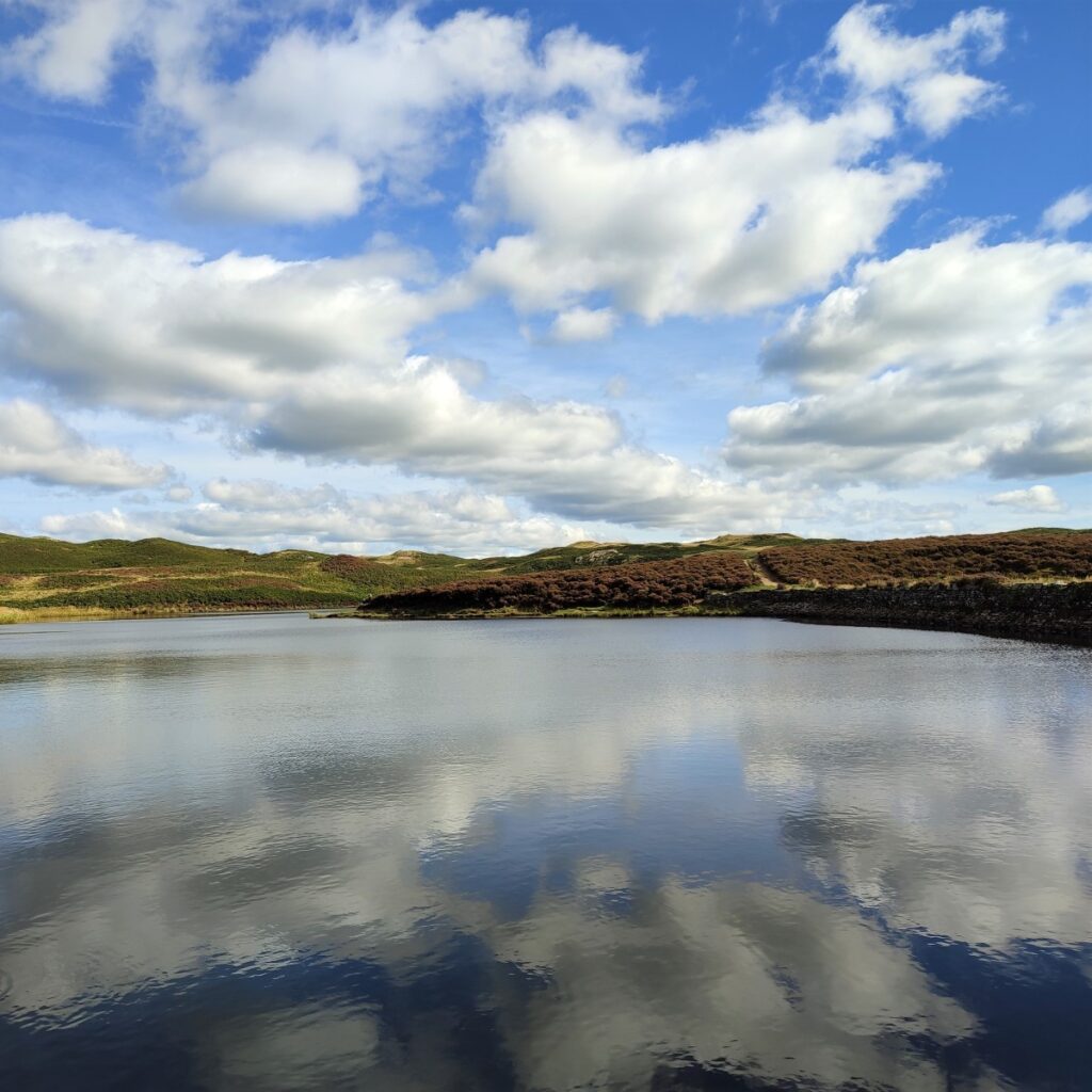
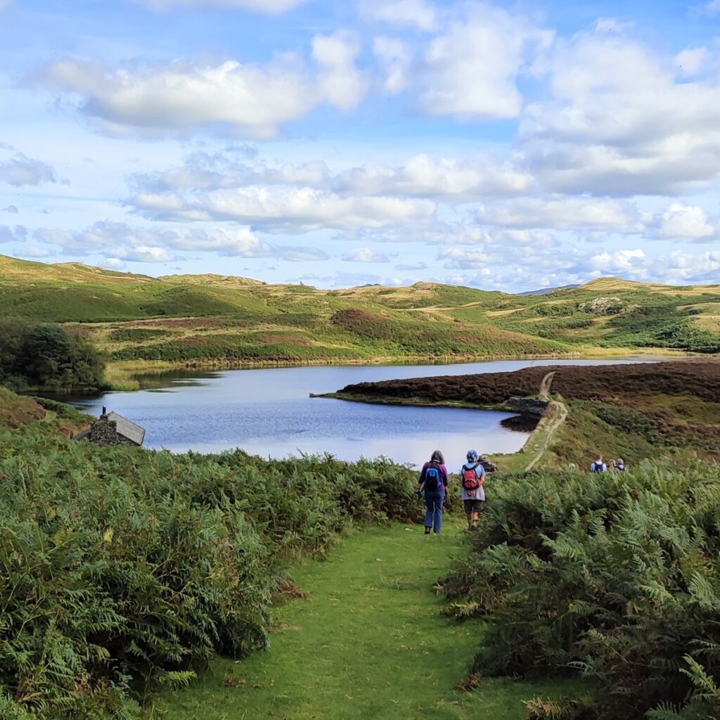
At Gurnal Dubs (also known as Fothergill Tarn), we see what at first sight appears to be a natural tarn. In fact, this too is partially man made: It was created by erecting a dam to enclose three smaller natural ponds (or “dubs”) to make one larger lake. The dam is not excessively obtrusive, being clad in stone and turf. To the western end stands a boathouse, erected by the Fothergill family, whilst to the north is a small tree-clad island. The tarn is silting up on that side, however, and the island is now barely separated from the shore.
Gurnal Dubs is a good place to have lunch and may be accompanied by the sight of wild swimming – popular here and in Potter Tarn.
We start our return journey by retracing our route back to Potter Tarn – although it is worth noting that there is a path around Gurnal Dubs which may be used to extend the walk a little.
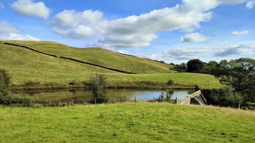
Back at the spillway we note a clear and obvious path heading downstream, and in a Southerly direction. We follow this downhill for a while, and soon see the third tarn of the day become visible on our left – this is Ghyll Pool.
Like the other two tarns, this is a man-made – or heavily altered – feature: Ghyll Pool is a reservoir which was constructed in 1934 as part of the wider scheme to supply water to James Cropper’s paper mill at Burneside.
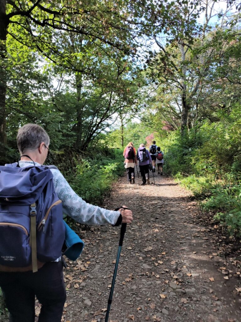
From this final tarn, the path continues downhill and holds a Southerly direction, soon arriving at pleasant woodland where we meet a junction. We take the sharp right turn – which is somewhat overgrown and so may not initially look like a valid route – persevere as this soon improves, exiting into a farm at Hundhowe.
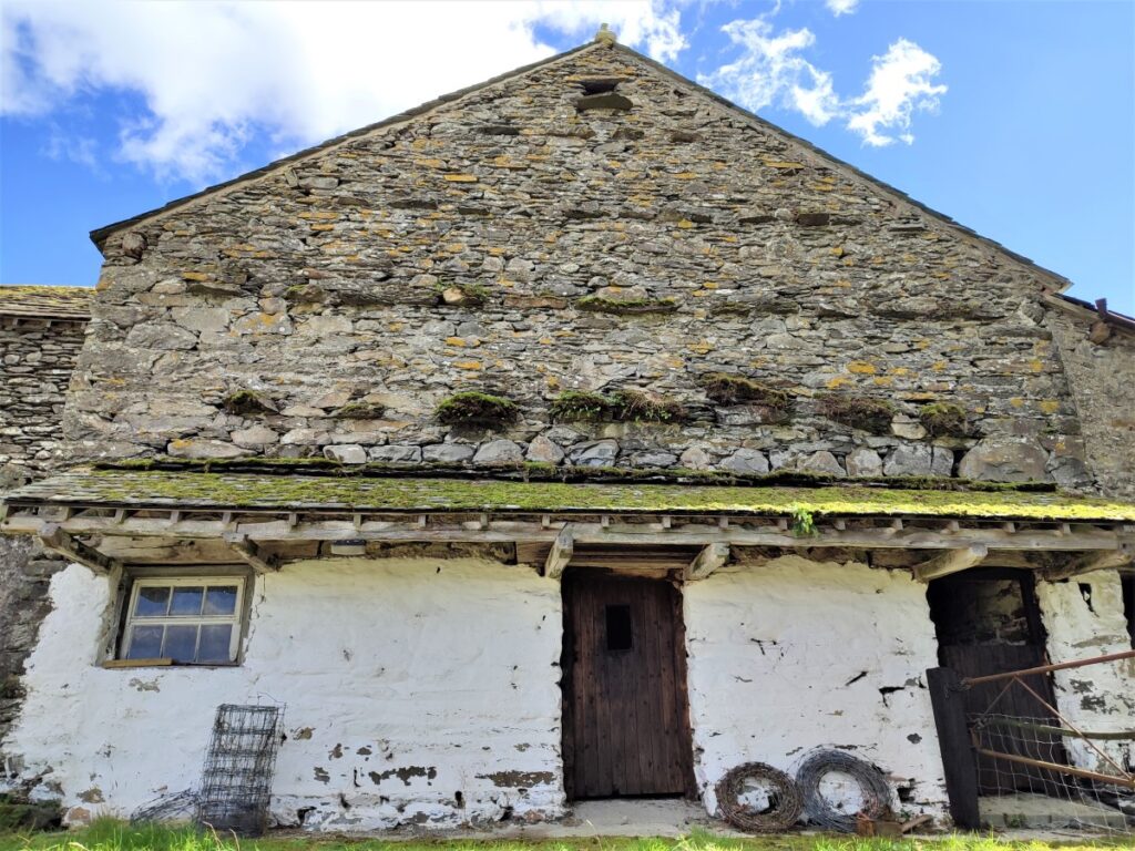
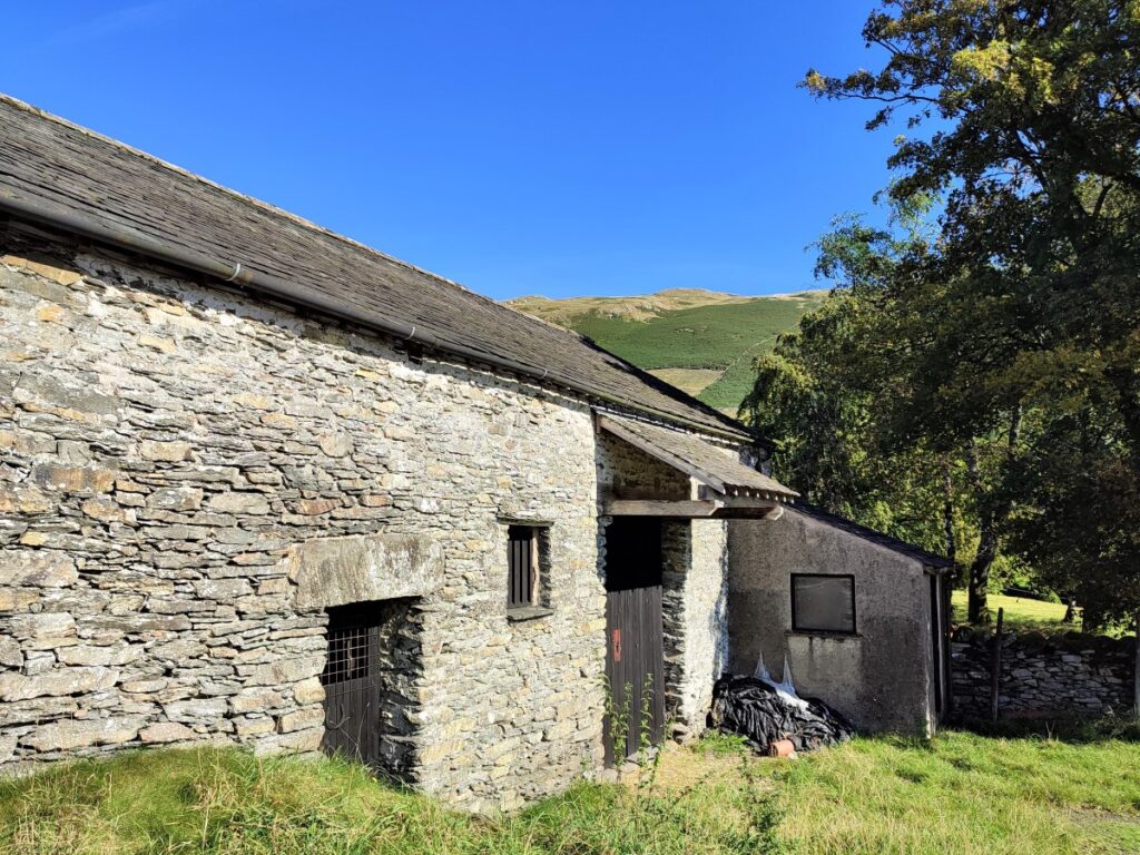
The path continues downhill past an ancient barn with housing over to the right, and we soon meet a minor road, where we turn right.
Ahead, and on the left we see some houses and stables, and just at the far end of this we take the gate on the left to go through the yard before we follow the lane down to a small bridge over the river Kent.
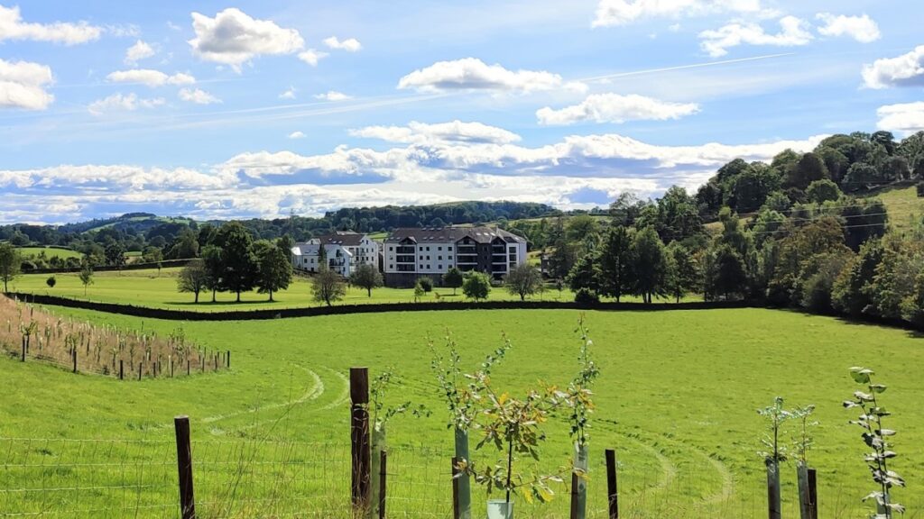
Just before we get to the bridge though, look over the drystone wall on the left to the large white building in the distance – although now an apartment block this is part of the Cropper paper mill complex that the tarns supplied water to.
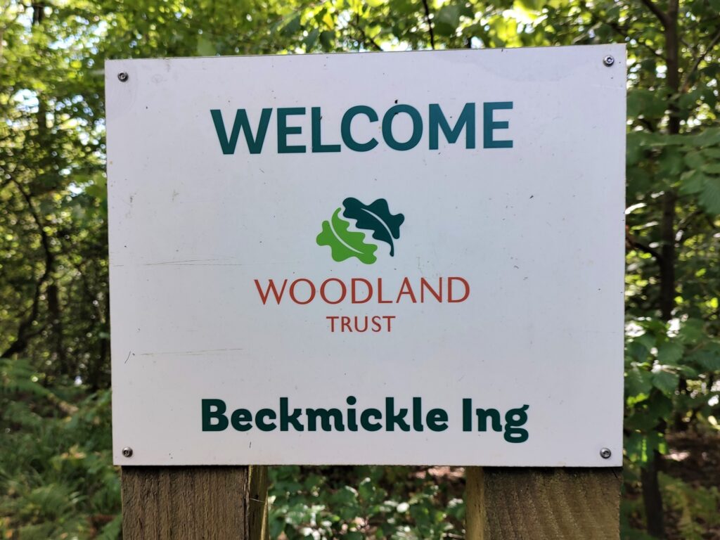
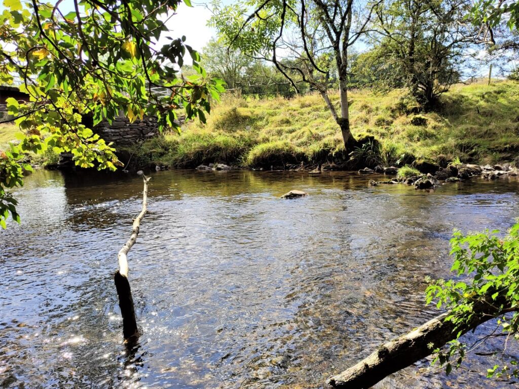
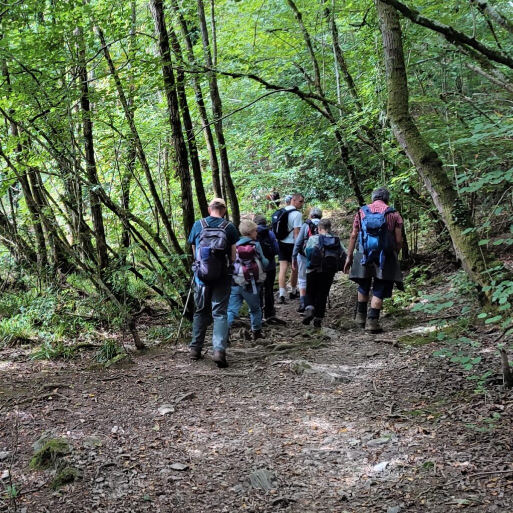
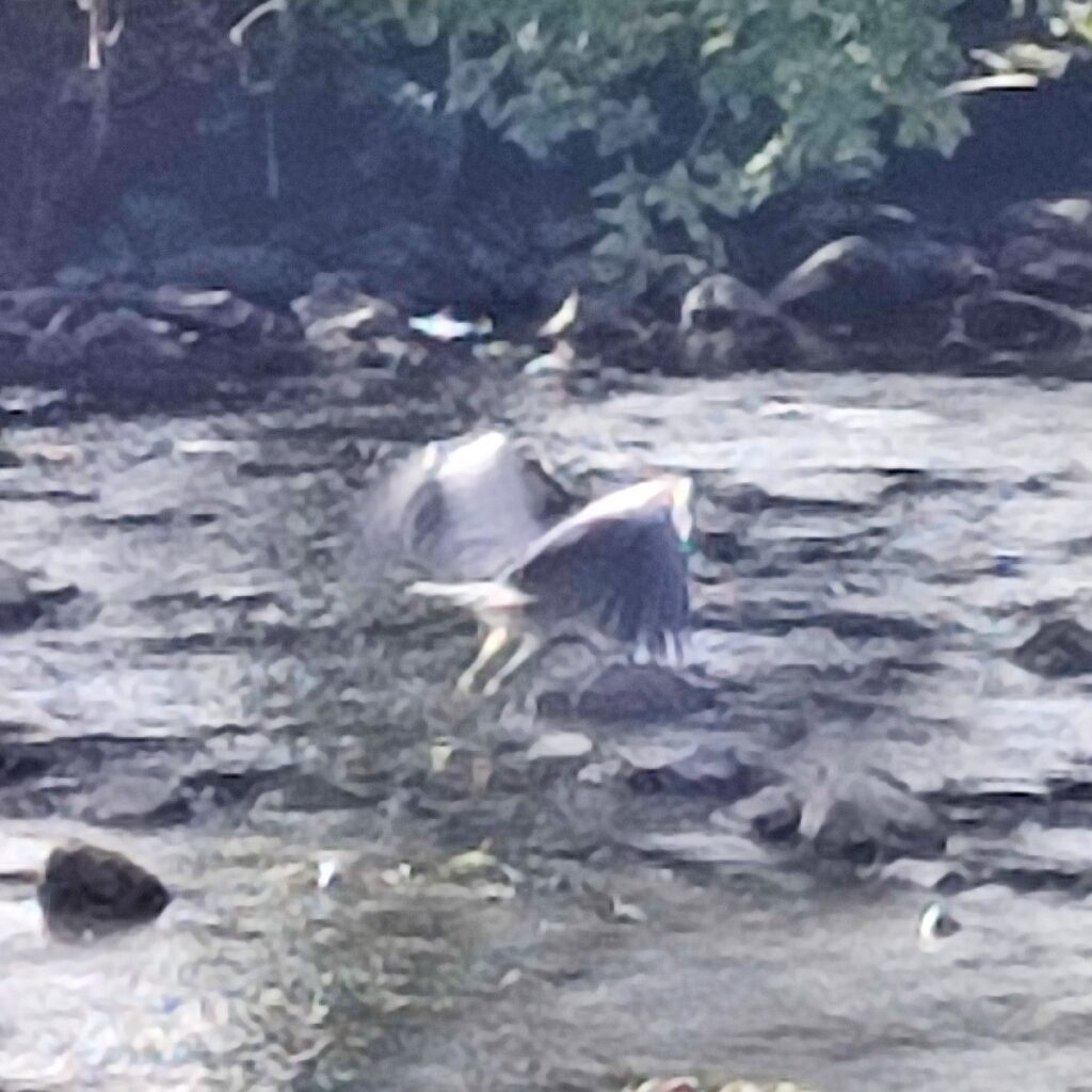
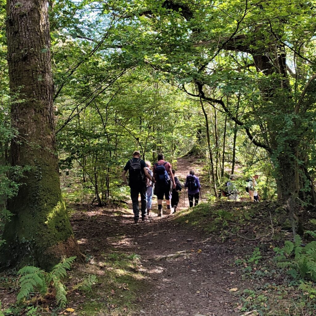
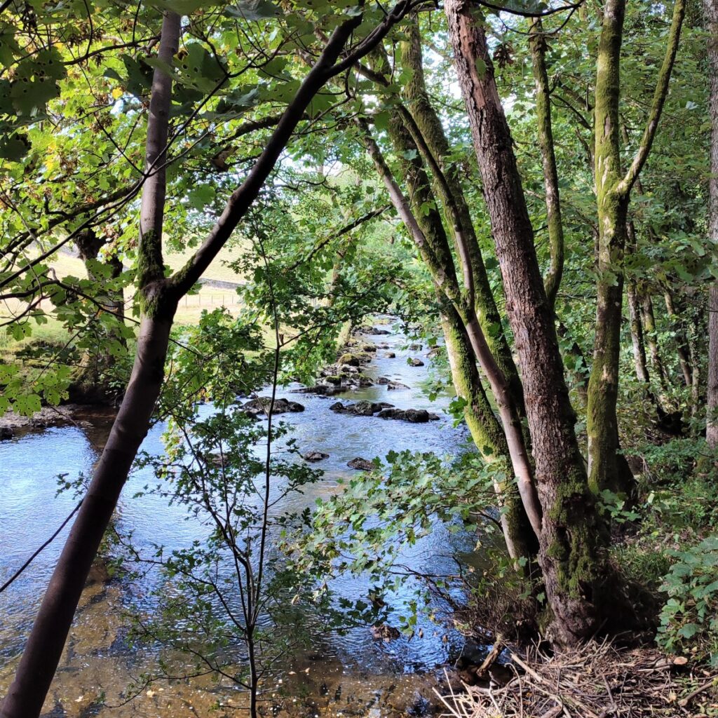
At the Kent, we find a gate on the right which takes us onto a path through the woodland (called Beckmingle Ing) – we head upstream, initially quite close to the water. The path soon meanders right though, and we arrive back at the small road where we exit and turn left for a just a short distance before re-entering the woodland via a gate on the left.
We head back down toward the Kent again, and follow it upstream toward Staveley, until we meet a fence blocking the riverside route: Here we turn right and follow the fence up to a gate back onto the small road. As before, we turn left and follow the road for a short while until we again find a gate on the left. The path heads Northwest through Staveley Park until we see the Kent again, and here we follow the riverside path upstream until we arrive back at Staveley Mill Yard where the walk ends.