Jump to . . .Step by Step | OS Map | Downloads | Gallery | Fly through
One of the things that differentiates the Lake District from the Yorkshire Dales is the impervious nature of the rock, which means that lakes and tarns can form in valley bottoms – in the Dales water drains though the limestone.
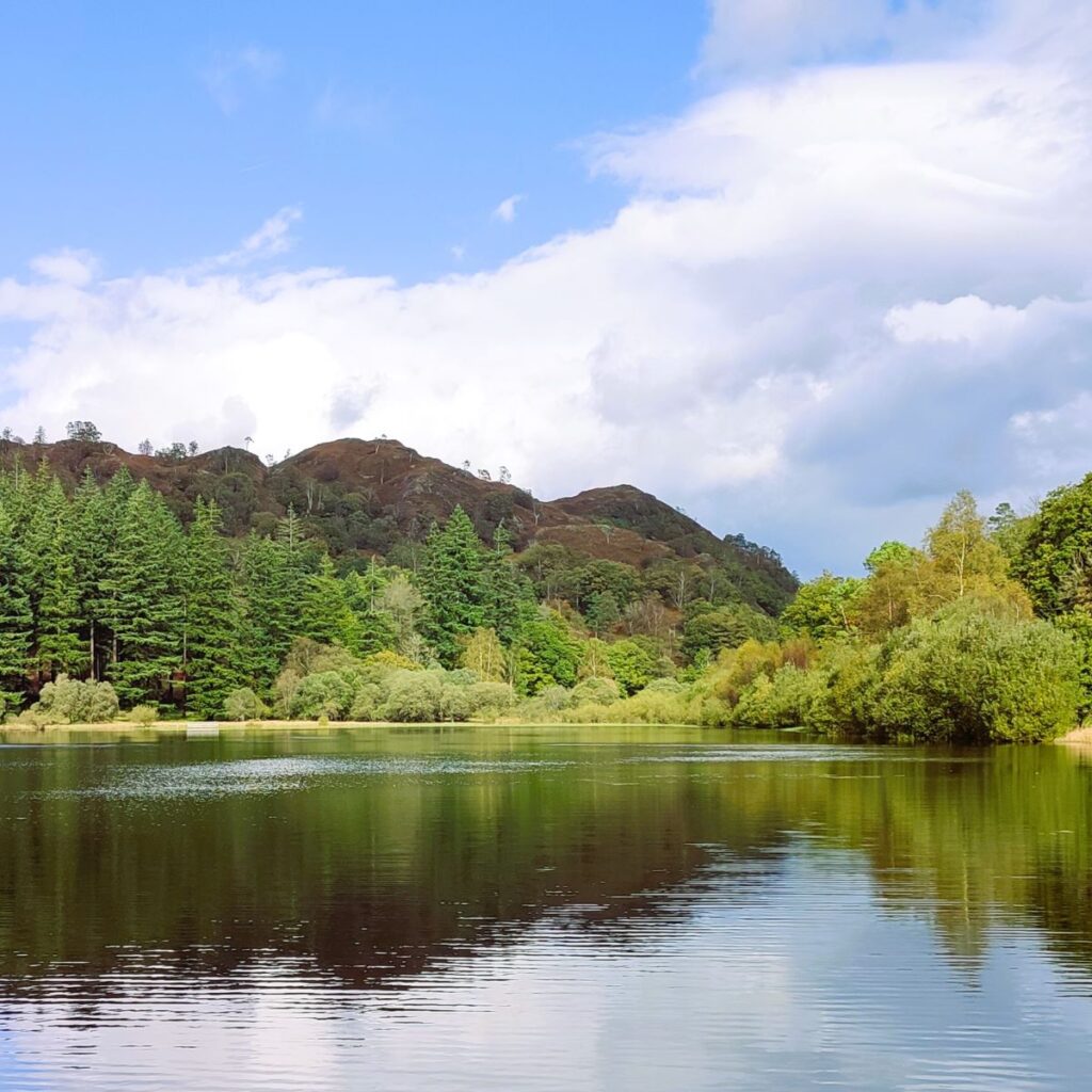
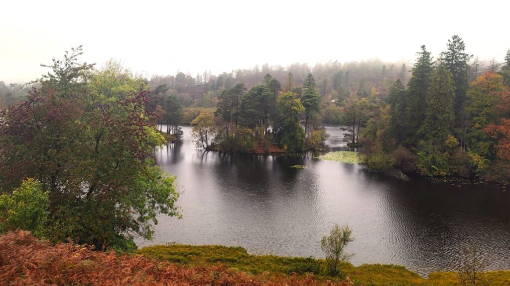
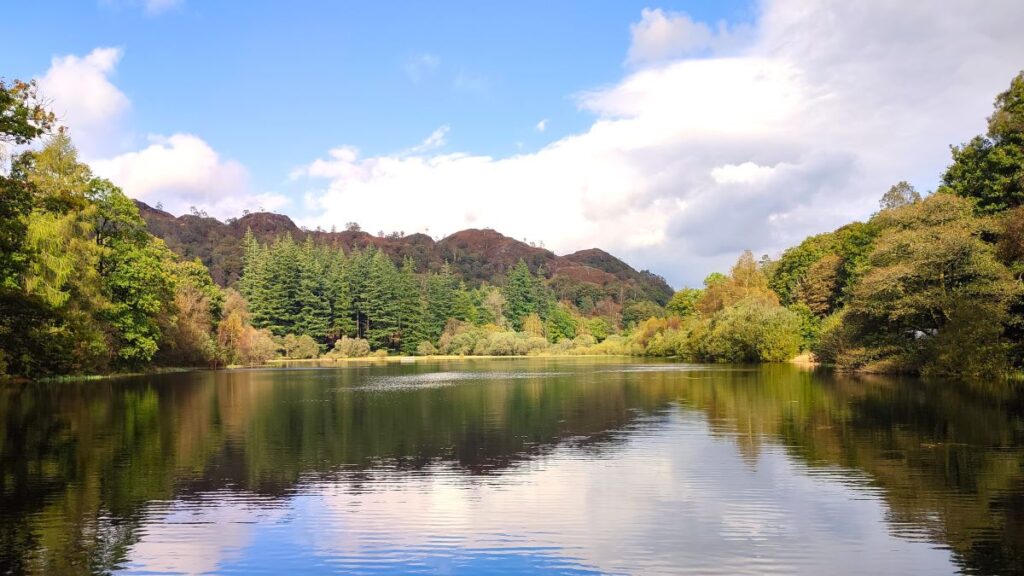
This easy walk focusses on tarns rather than lakes: Tarn Hows was originally three separate tarns, which after landscaping by a former landowner became one larger tarn with water levels controlled by an overspill which feeds a spectacular waterfall.
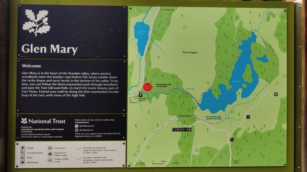
Our route takes us up the side of that waterfall, round the tarns, then to the National Trust visitor centre before heading down through Tarn Hows Wood to Low Yewdale, then on to High Yewdale, over Shepherd’s Bridge, and then through Harry Guards Wood to Yew Tree Tarn. A lovely stroll around the tarn and then a short woodland section completes the walk.
- Total distance 9.8 km (6.1 miles)
- Total ascent 261 m
- Easy walk
Step-by-Step
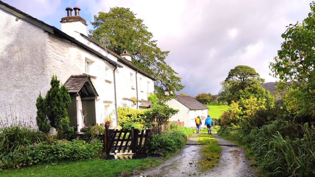
We start at the National Trust car park at Glen Mary bridge. We chose this as our starting point so that we have the steepish climb up the waterfall path as the first thing we do. It would also be possible to follow the circular route from the main NT car park for Tarn Hows – where there is a visitor centre – or even from roadside parking near Shepherd’s Bridge or Yew Tree Tarn. Take you pick, but bear in mind the description that follows specifically describes the Glen Mary start.
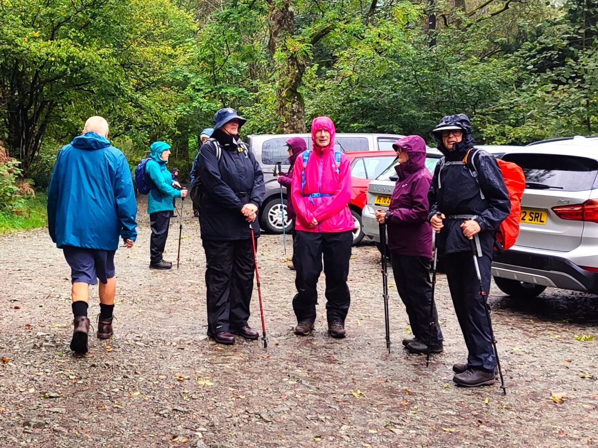
Glen Mary bridge is on the A593 and is easy to find. From the M6 take junction 36 then follow the A590 signposted for Lakes. Just before Kendal, the A590 splits – and we need to stay on the main route – now numbered A591. If in doubt, follow “Windermere”. Continue until you get to Windermere and then stay on the A591 following signs for Ambleside, and then head left at a fork in the road onto the A593, signposted for Coniston. Stay on the A593 until you pass Yew Tree Tarn (on the right) then park at the well signposted Glen Mary car park (on the left). If you are using Satnav to get there, try the postcode LA21 8DP, or if you have access to What-3-Words, the tag is promote.ready.crypt for paper map users, the OS Grid reference is SD32139987. Note that parking must be paid for unless you are a National Trust member. The fee at the time of our walk was £8, and you need to be aware that the machine does not take cards, so have a pocket full of £1 coins or join the NT.
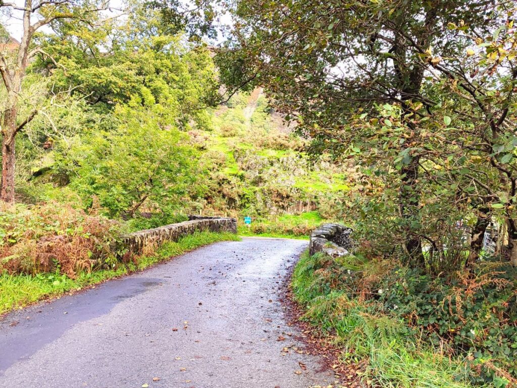
From the car park, we pick up a path just at the side of the A593 at the entrance to the car park – make sure you are on the left hand side of the beck – there used to be a path on the right and then a footbridge over the beck keeping the path separated from the busy road, but this is broken, so keep those £8 fees rolling in, and one day it will be repaired.
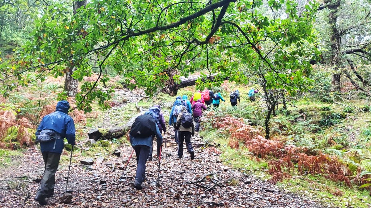
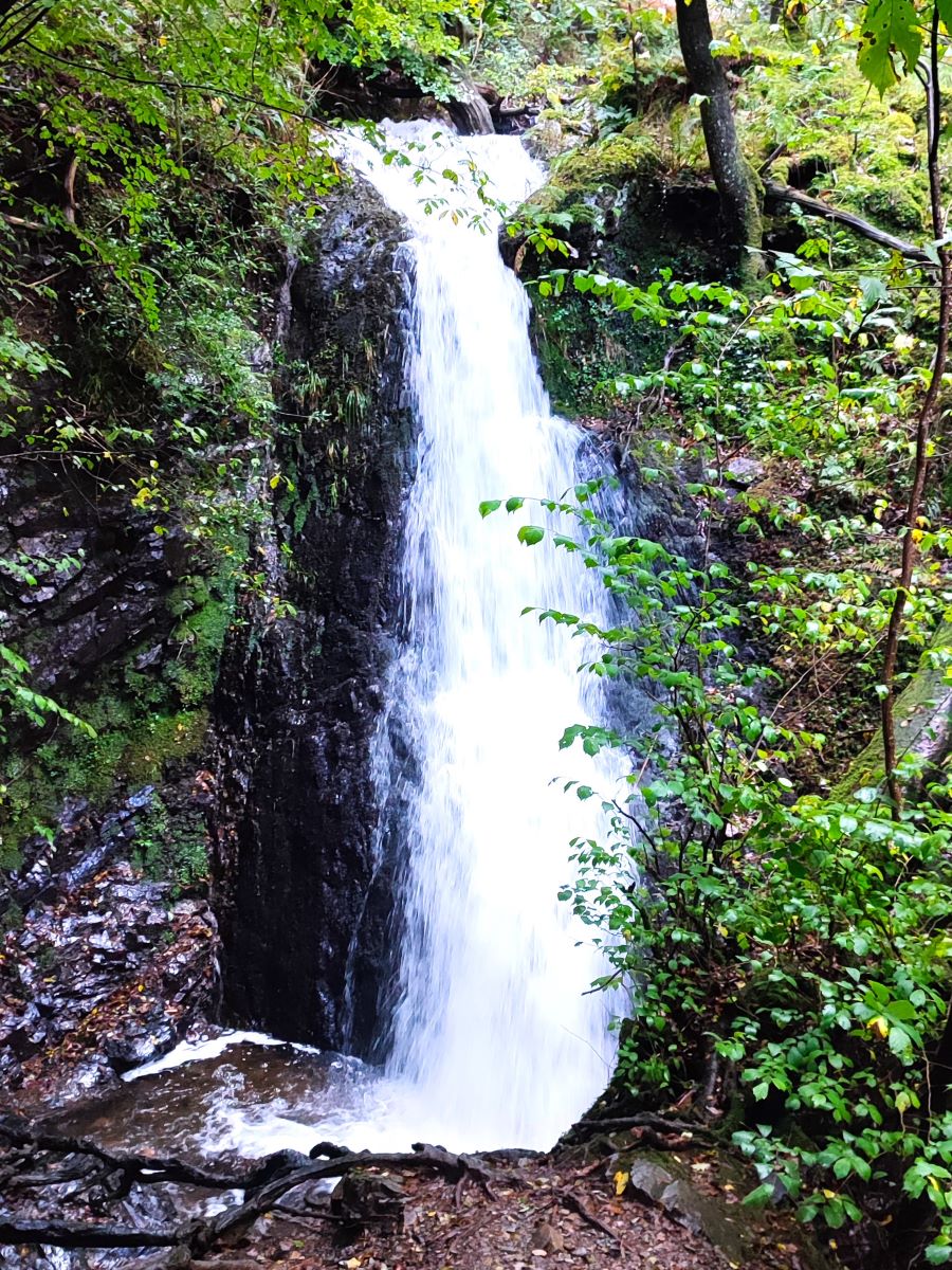
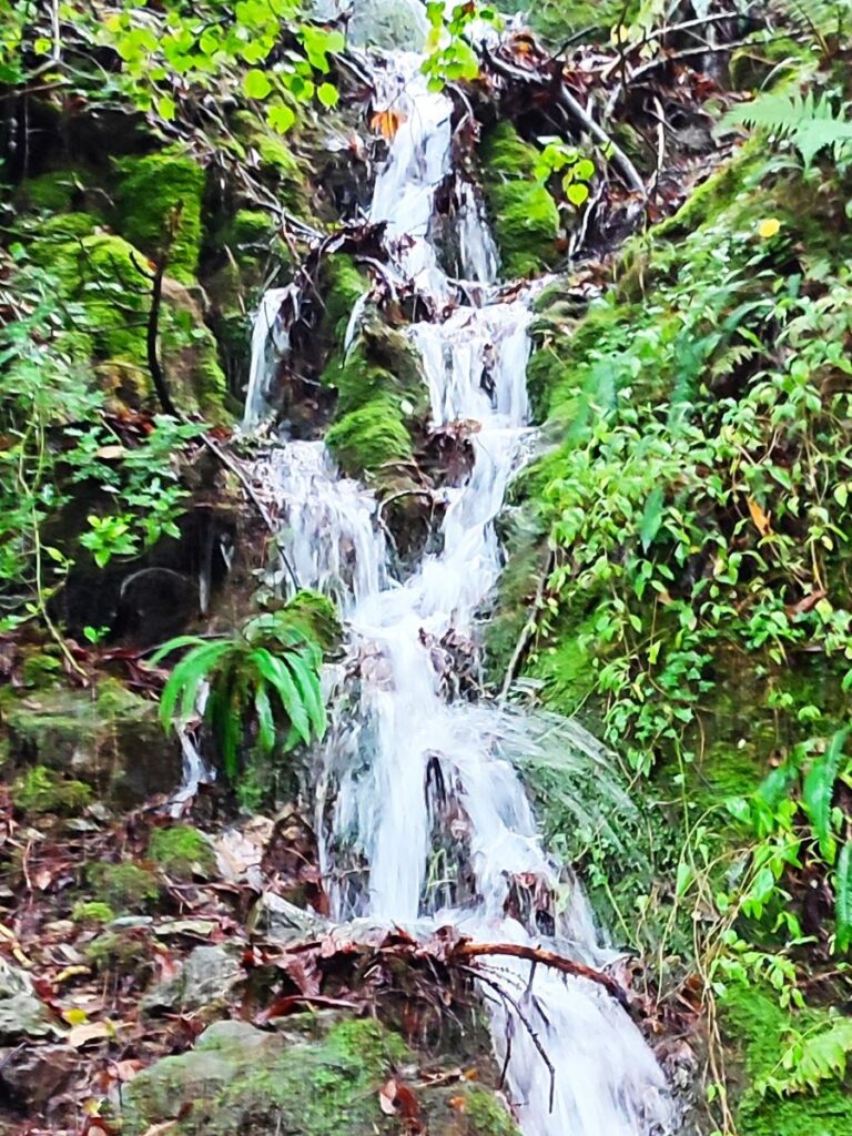
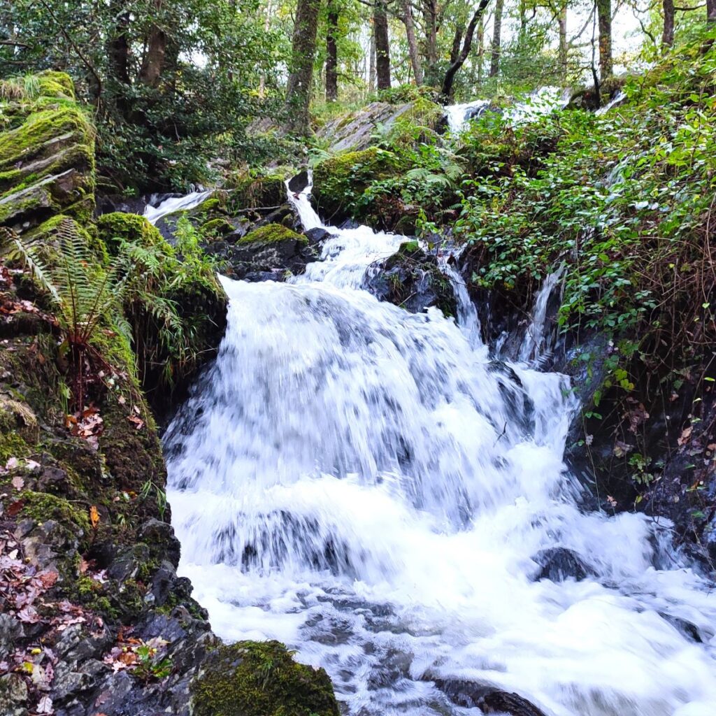
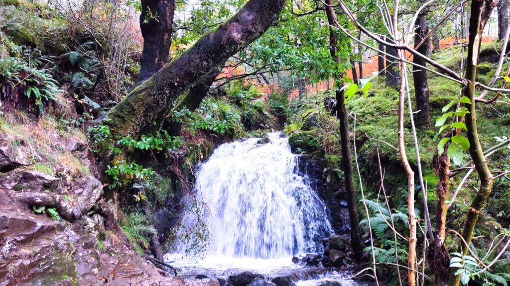
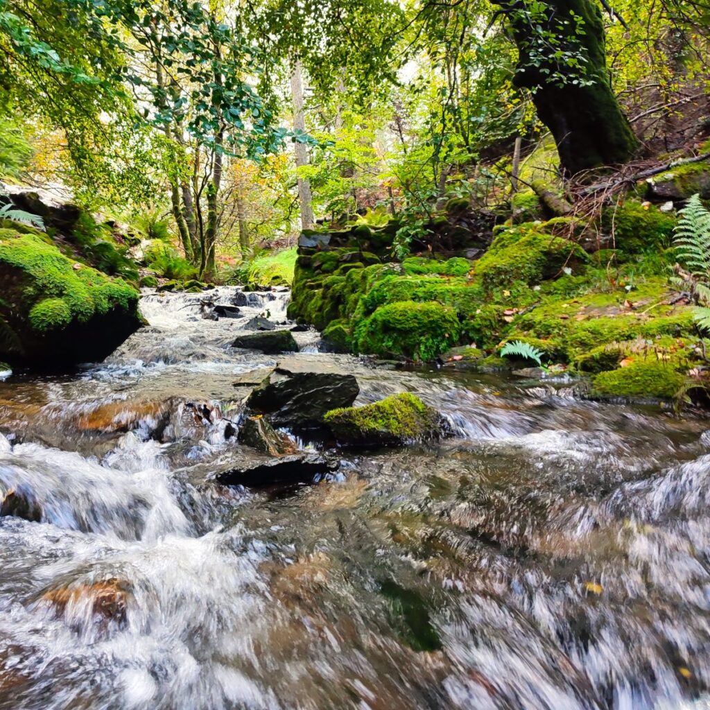
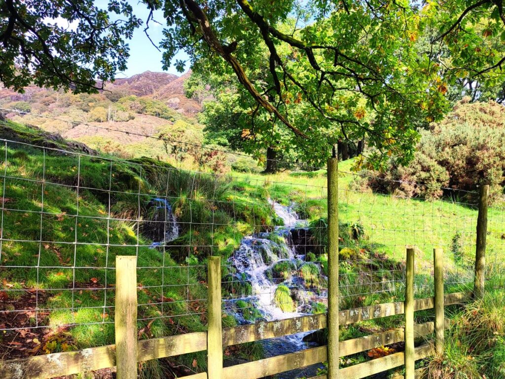
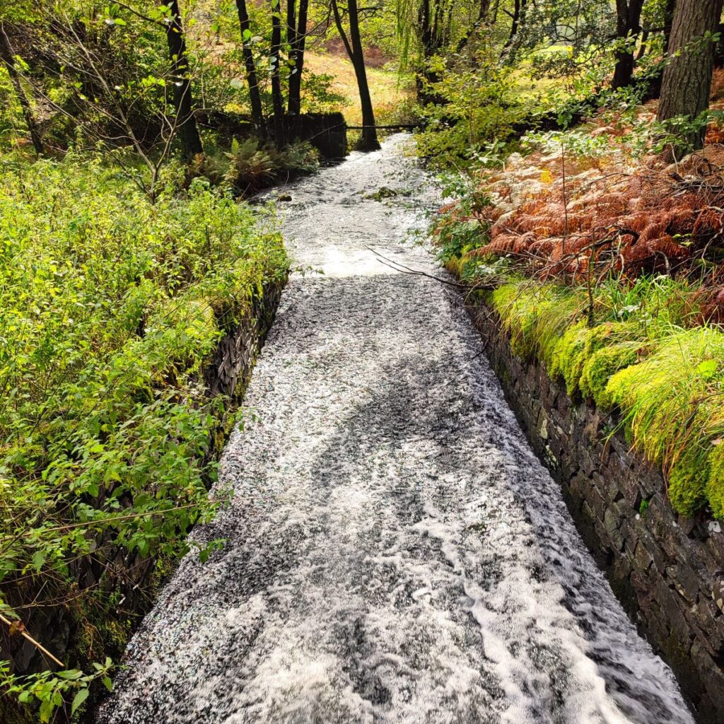
We walk up a path to the left of the beck that tumbles down from Tarn Hows. The stream is not named on the OS map, but is generally referred to as Tom Gill, and the series of waterfalls which we soon start to see, are collectively known as Tom Gill Falls.
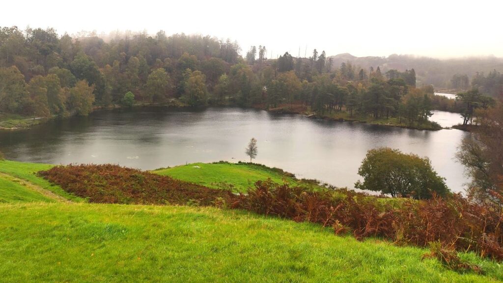
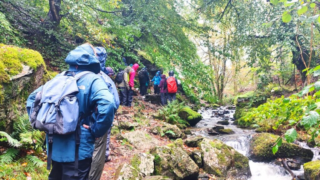
The walk up the waterfall path is quite steep, and there are a couple of locations where trees have fallen, and maintenance has not yet occurred, so take care and allow for time to wander away from the main path to get the best views of the falls. The flow at the falls is, as we would expect, rather variable. The source is a dam at the top which maintains a constant level in the tarns, so the flow is in effect a direct function of the recent rainfall on the hills around the tarn. The best views therefore are on a dry sunny day that follows prolonged heavy rain. As you can see from many of the pictures, we managed half of that combination.
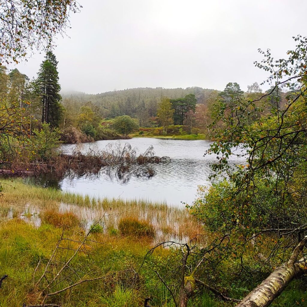
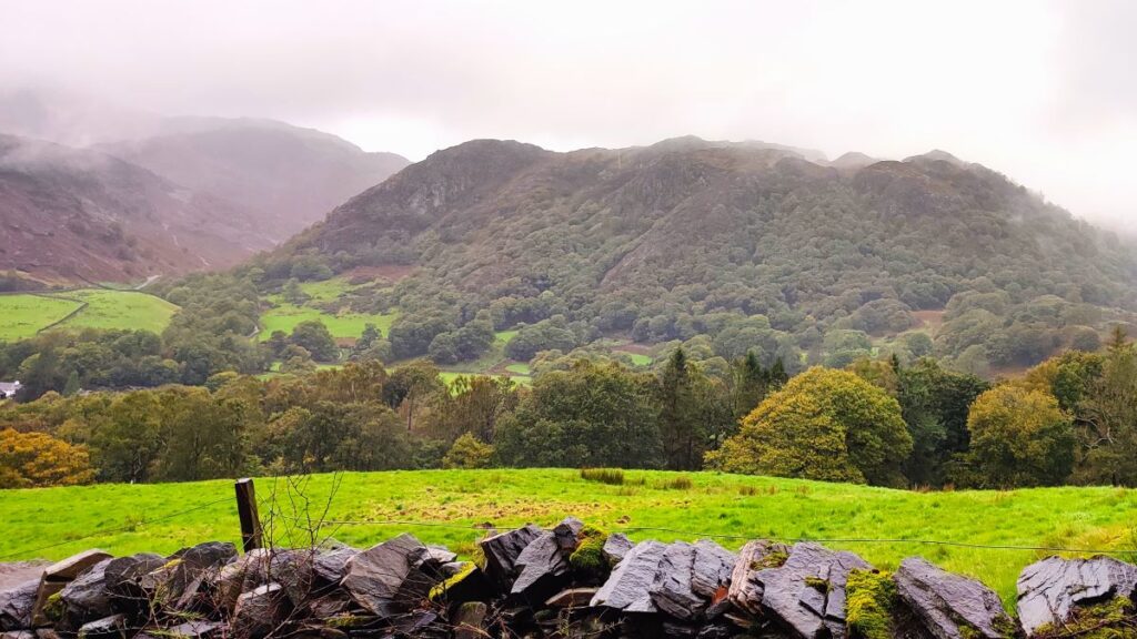
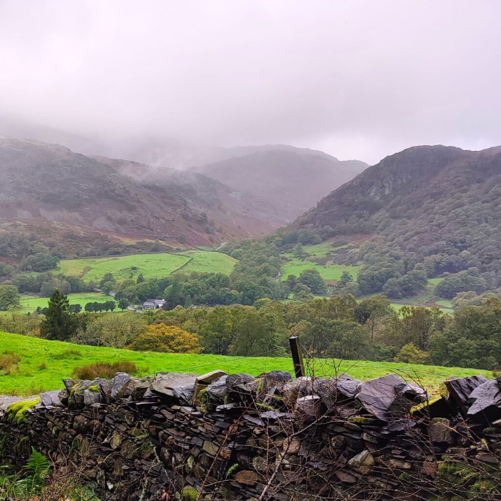
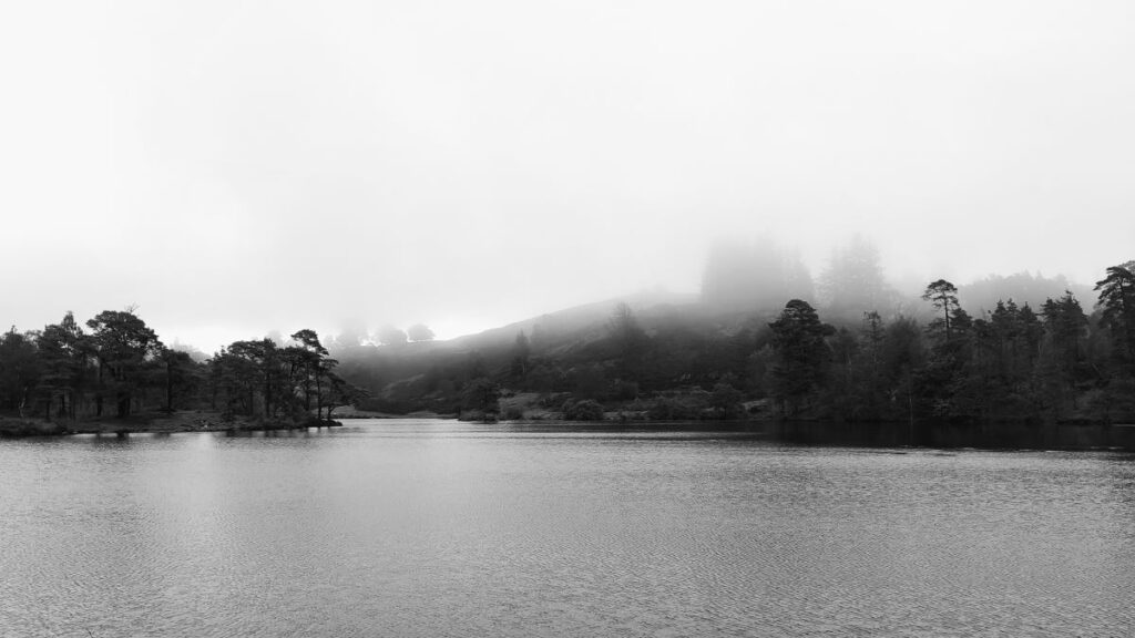
At the top of Tom Gill, we meet a broad level track which runs over the top of a dam which controls the water in the tarn, and from here the walking is much easier, and with great views over the tarn – weather permitting. As you can see though, even in misty conditions, the view is wonderfully atmospheric.
In the 1800s this area was in private ownership as part of the Monk Coniston estate and was a boggy upland with three separate open tarns more typical of what we see elsewhere in Cumbria. In 1835 the estate was bough by James Garth Marshall – the Marshalls were a wealthy Leeds family who made their money in flax milling.


Marshall took 30 years to ponder the appearance of the estate eventually deciding in 1865 that the Lake District needed visual improvement. He instructed a dam to be built at the top of Tom Gill, flooding a wide area and making the three tarns one. It is for this reason that signage for walks in this area still refers to “Tarns” in the plural. The change was not just aesthetic though – the larger volume of water stored here meant that a supply down to Marshall’s water powered sawmills in Coniston would be more reliable.
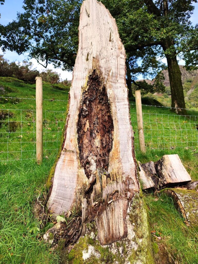
Marshall’s vision for his designed landscape at Tarn Hows involved stands of trees planted in a carefully considered way, highlighting rocky knolls and the dramatic Lakes landscape beyond. To protect his new planting of broadleaf trees such as sycamore, beach, alder, cherry and willow, he also planted ‘nurse’ crops of fast growing larch and spruce. These ‘nurse’ conifers were intended to protect the young saplings from the harsh winter weather and would be removed once the young broadleaf trees were established. This was a good plan, but it didn’t happen, and over time conifers came to dominate. Since then, disease in the forested areas have required removal of many of the fine old trees and a program to improve the area is underway.
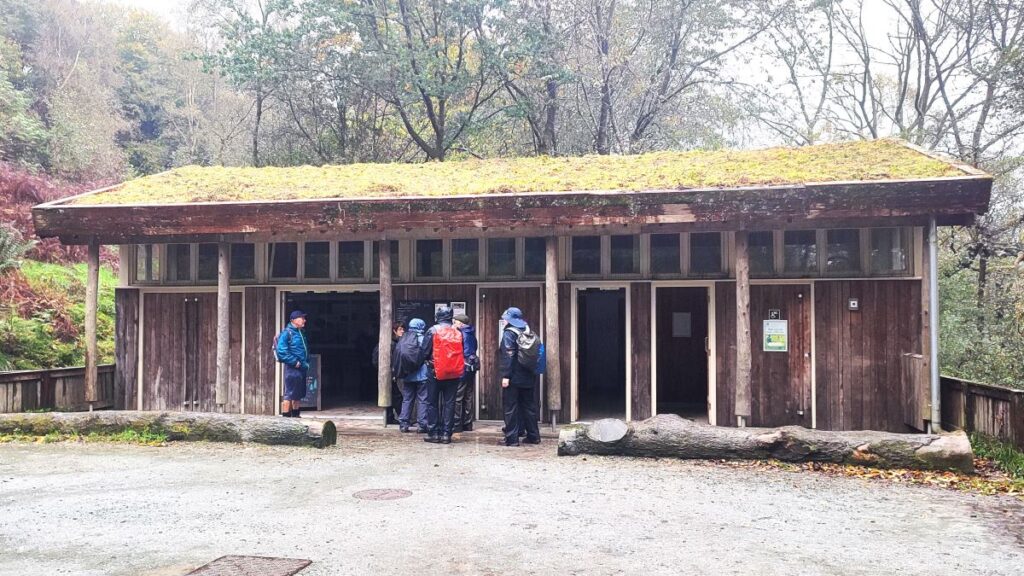
In 1929, 4000 acres of the estate were sold – to Beatrix Potter. Although best known as an author, Potter was also a wealthy and influential landowner, controlling thousands of acres and many farms in Cumbria. Potter allowed for half of the land she bought including the delightful Tarn Hows to be bought by the National Trust, thus preserving the site and public access. The Trust is still very active here with a visitor centre offering information, shelter, and access to “trampers” (sturdy mobility scooters) so that those with restricted mobility can also enjoy the area.
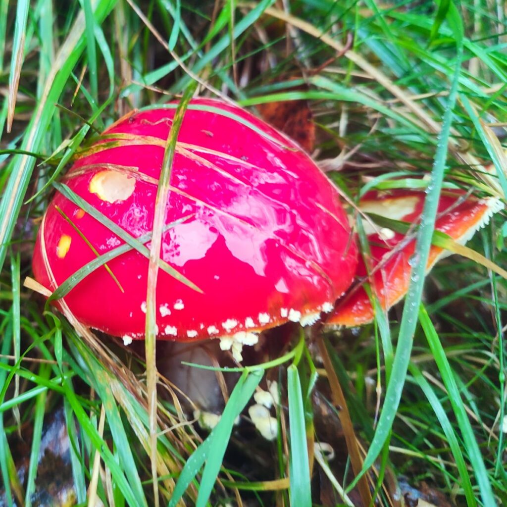
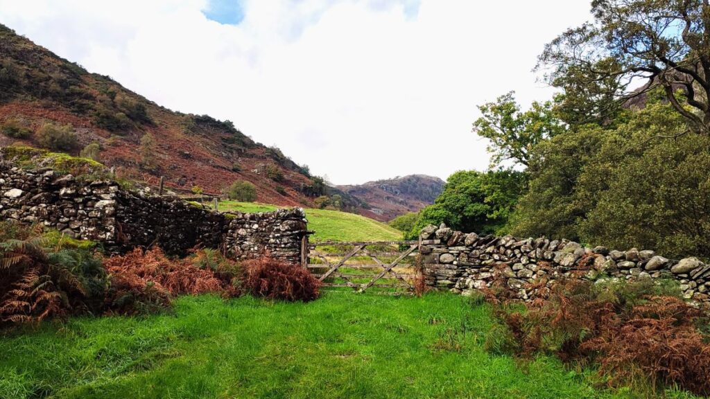
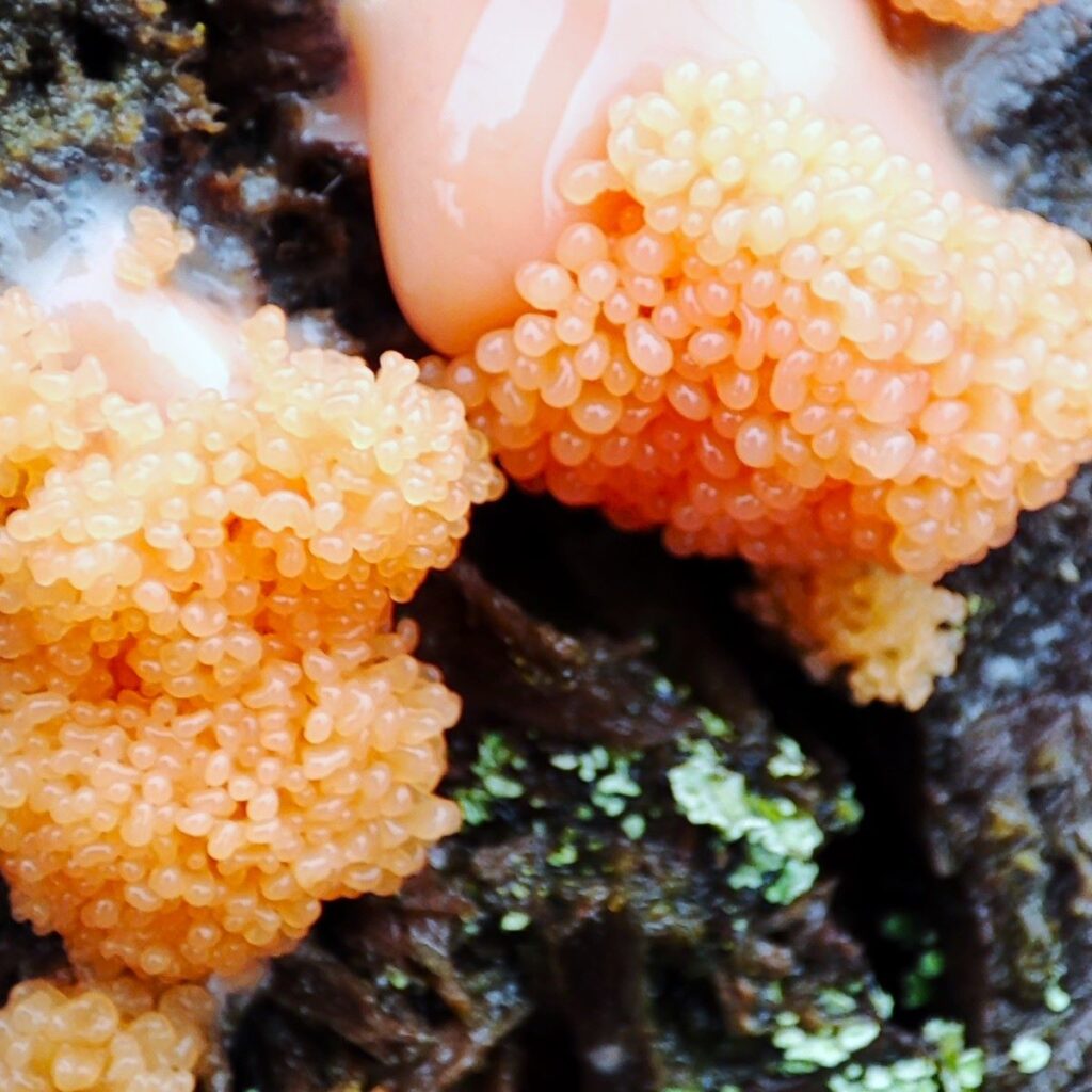
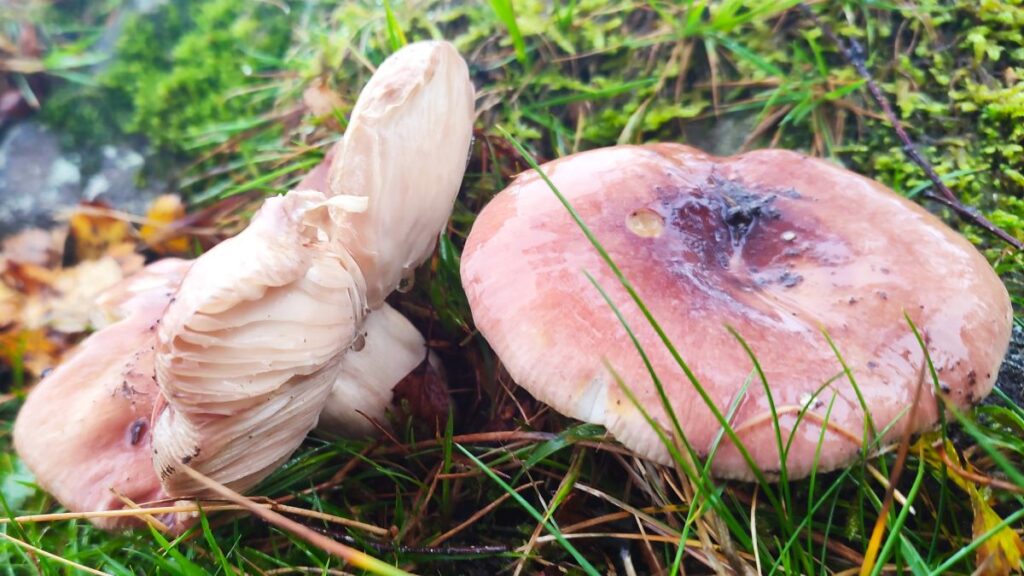
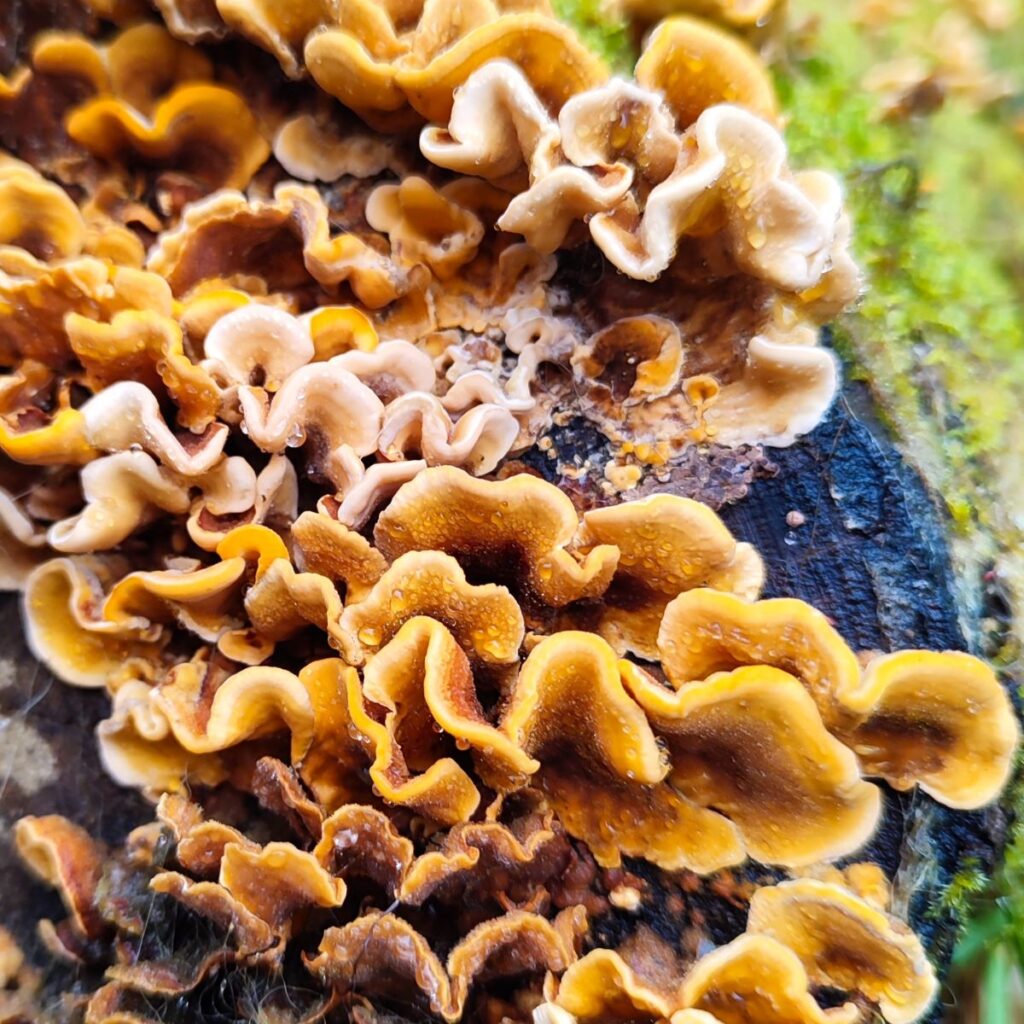
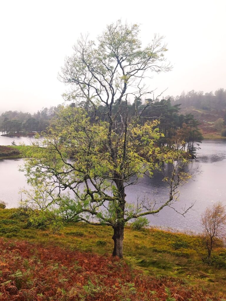
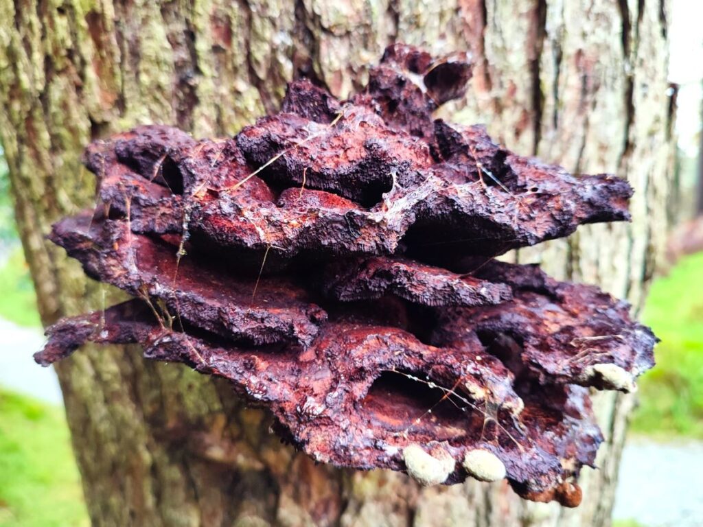
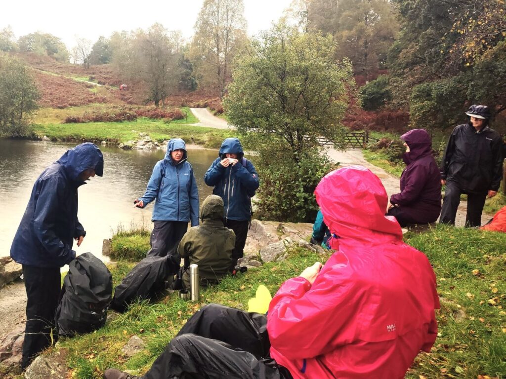
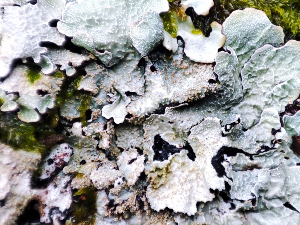
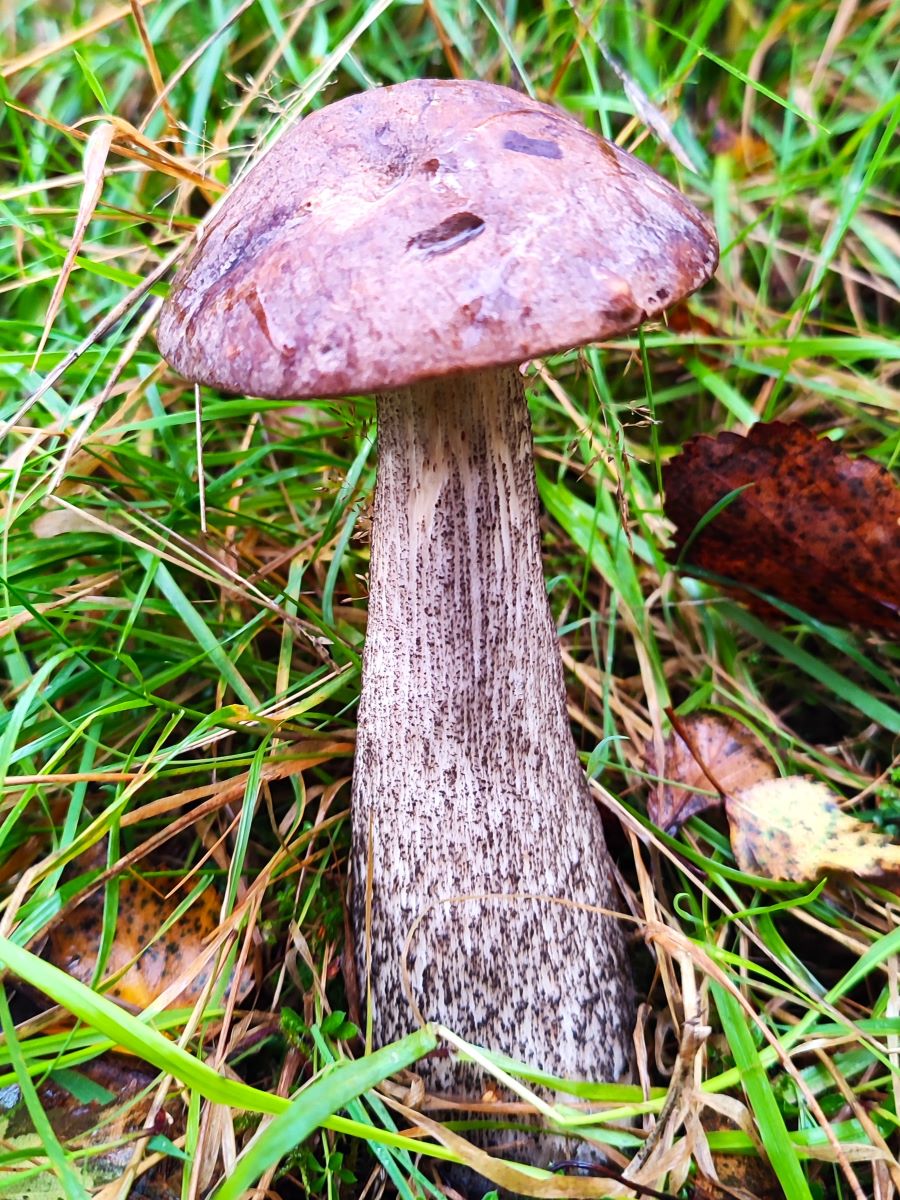
At the tarn, we head left to walk around the tarn in a clockwise direction, so we later end up back just to the right above our starting point – so if a shortcut is needed, head right and make the NT centre your next destination. We recommend the route round the tarns as there is a lot to see, with woodland views interspersed with longer views across the water, and at the time we visited, lots of interesting fungi growing on the wet wood and leaf litter.
If you don’t walk round the tarn, but want to know what it looks like, then head over to YouTube to see a great video of a drone flight over the water: click here to see the video
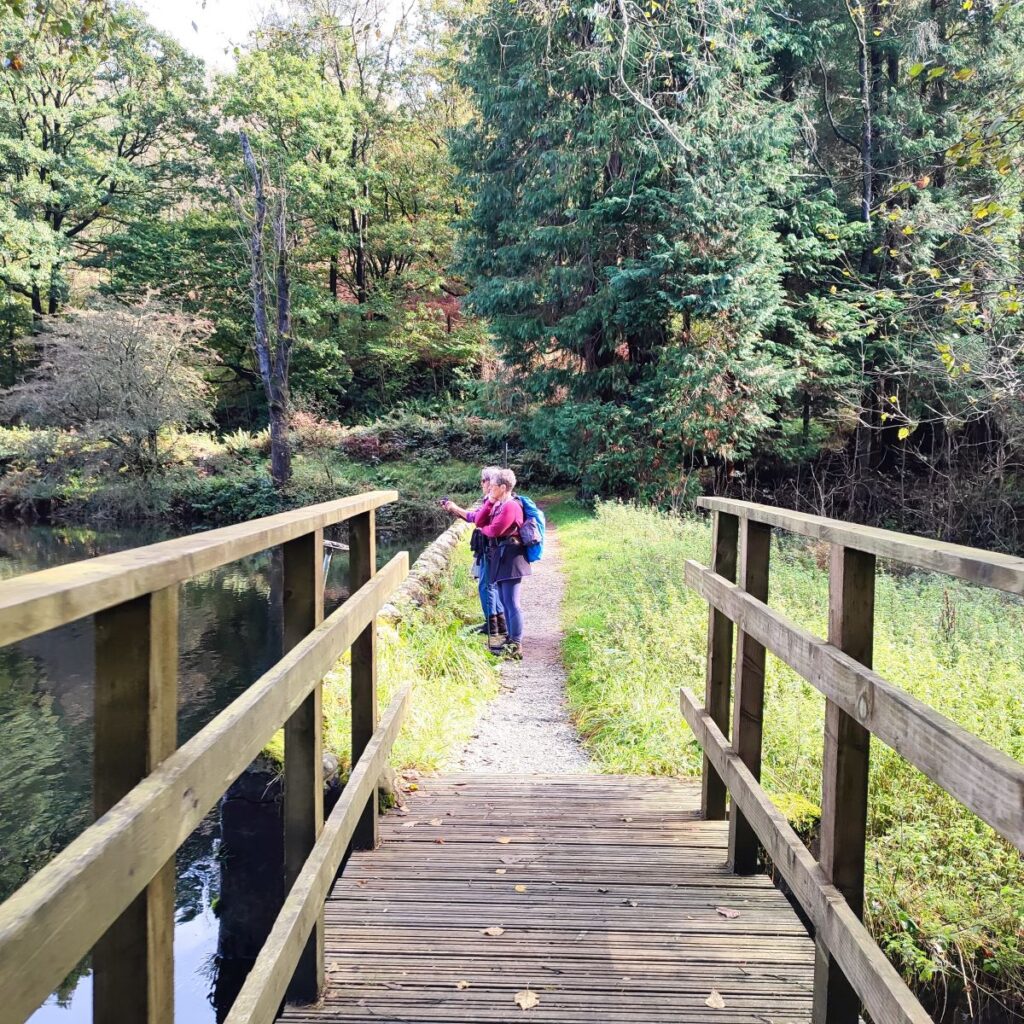
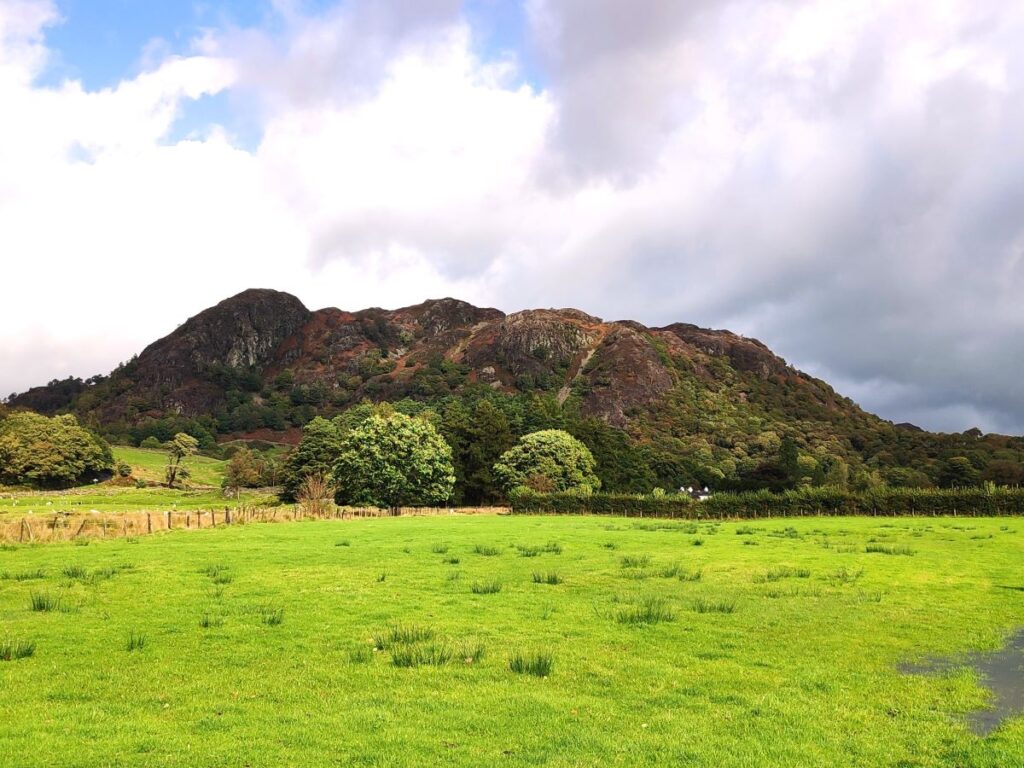
As we come round the northeastern end of the tarns we cross a footbridge over a beck at Rose Castle, and then we start to climb, soon gaining views across the tarn and the dam where we started. The path then forks – the track to the right goes back down toward the dam, whilst we head left and uphill to the National Trust visitor centre. This is worth spending a short while at – there are information boards detailing the local flora and fauna, a list of recent sightings – including adders and ospreys at the time of our visit (although we saw neither).
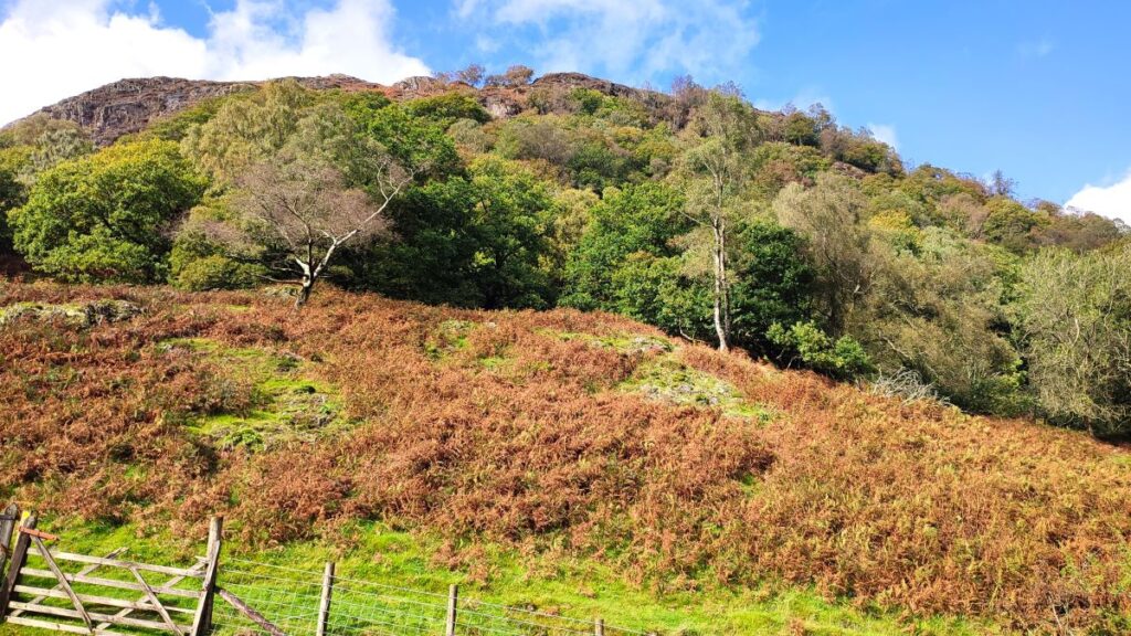
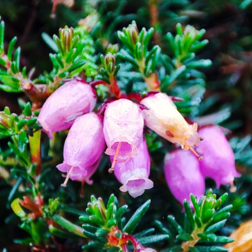
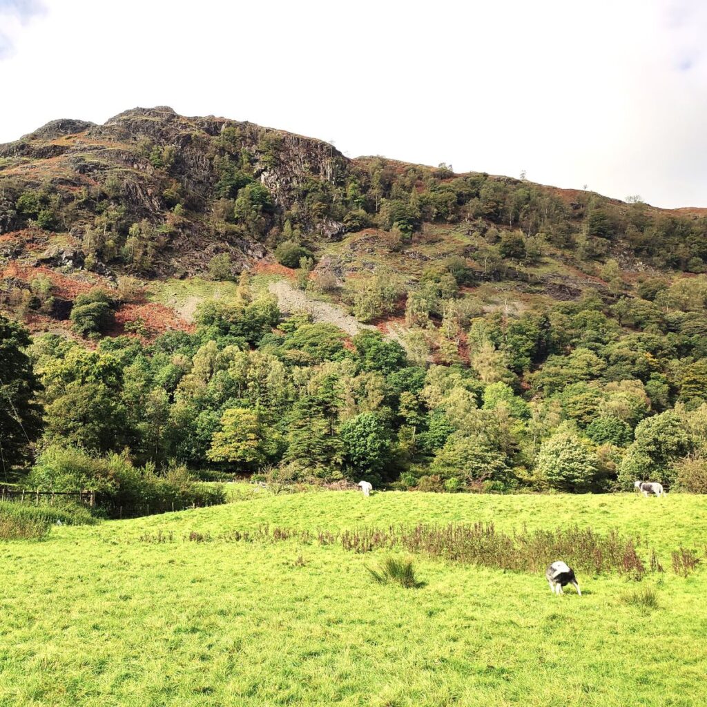
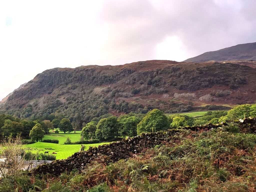
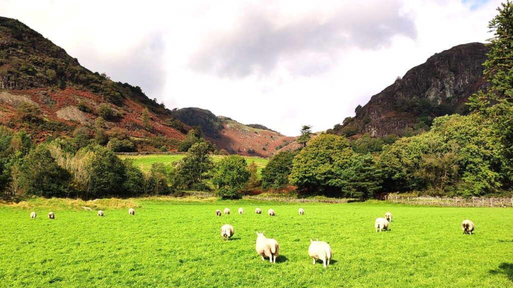
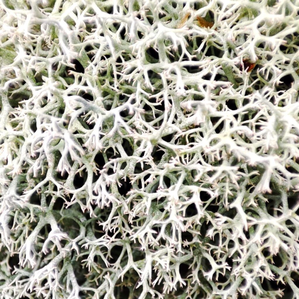
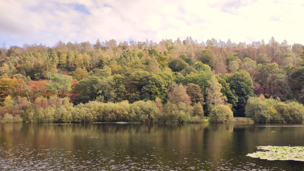
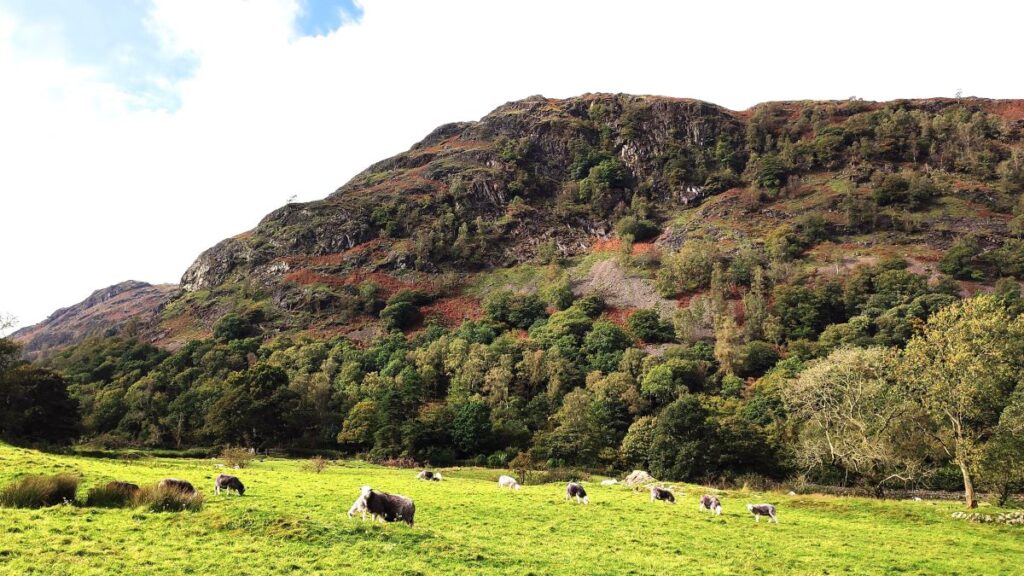
The walk continues along the access road to the centre, heading west (left) over a cattle grid and then downhill with views to the right over Yewdale to the spectacular valley between Holme Fells and Coniston Fells – in strong autumn sunlight with the heather turning russet brown this is just lovely, and if the weather is less kind, then the late flowers and fungi may provide some consolation.


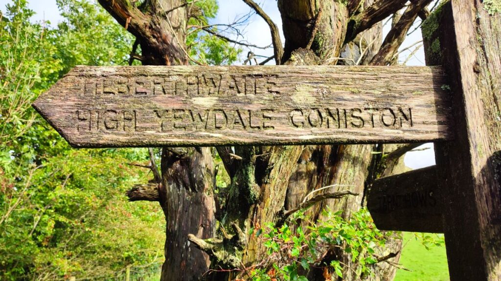
Our next landmark is a well signposted path leaving the road on the right – this goes through a gate and then along a track bearing slightly left. The track heads downhill and then swings right to Tarn Hows Cottage, and as it does so we take the pedestrian gate into Tarn Hows Wood.
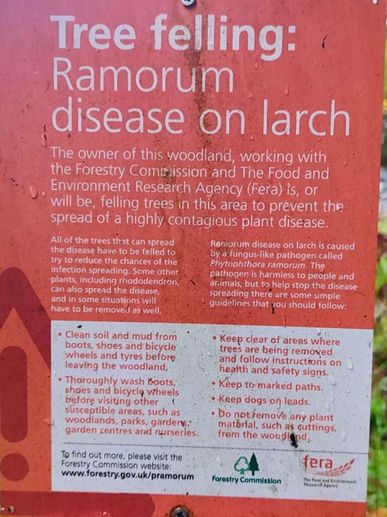
Navigation through the woods is generally simple – there are a couple of branches where we need to be alert – the first is just into the woods at a sign for a very dilapidated footpath on the right – it’s so overgrown that most will not even see it, but if you do, ignore that option. Then toward the bottom end of the wood there is a clearer fork – identifiable at the moment by signage that explains the forestry works to address a phytophthora ramorum outbreak – a fungal disease of Larch.
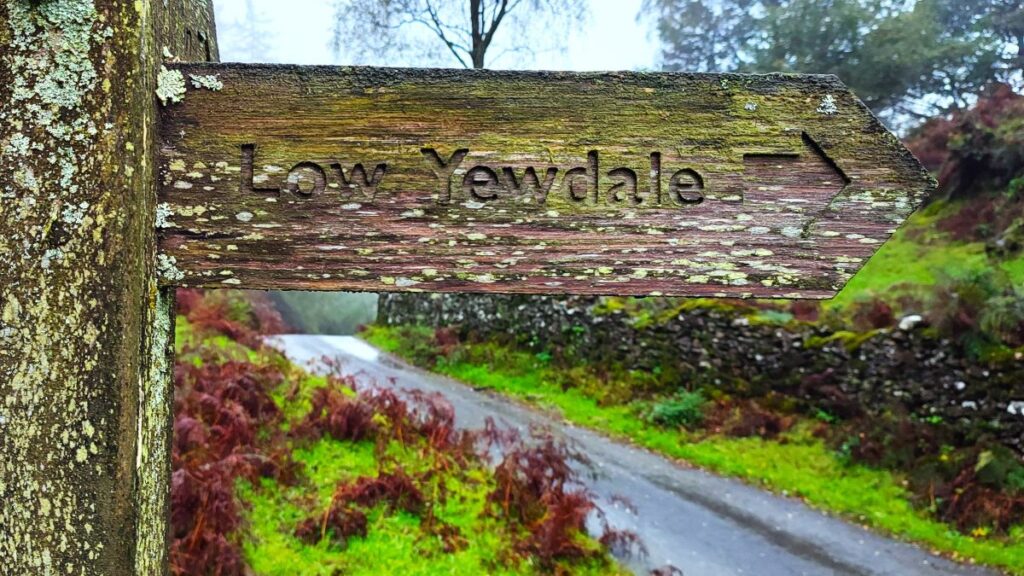
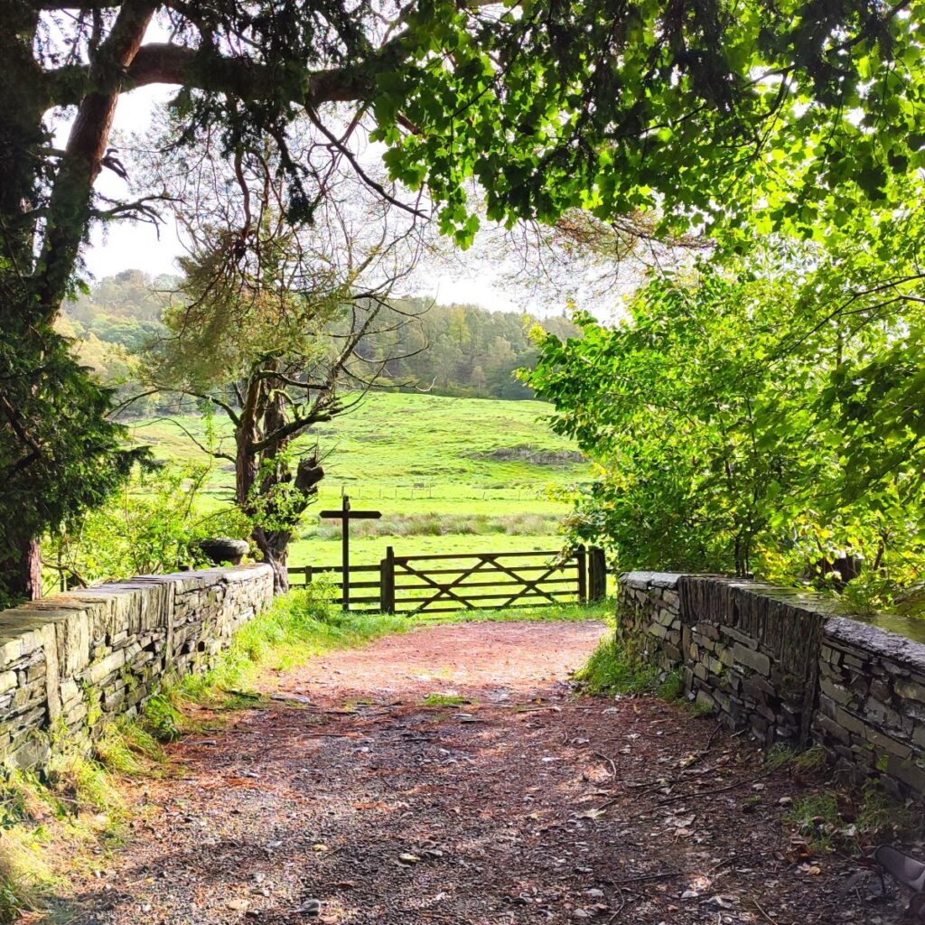
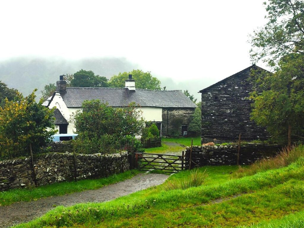
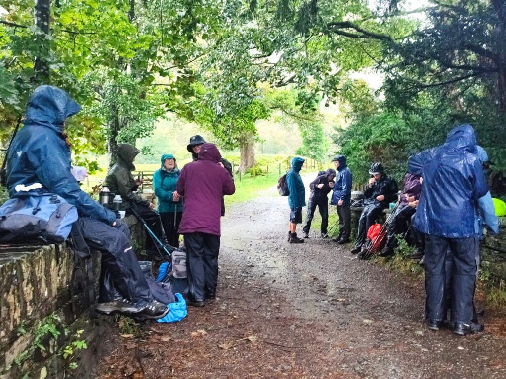
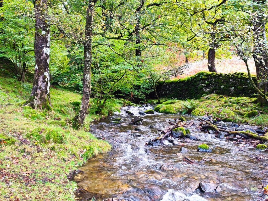
The branch to the left goes up to Boon Crag Farm where you could turn right to come back to Low Yewdale via a longer route, or as we did, head right and directly to Low Yewdale where we find a stone bridge over the Yewdale Beck, which provides some shelter for a lunch stop.

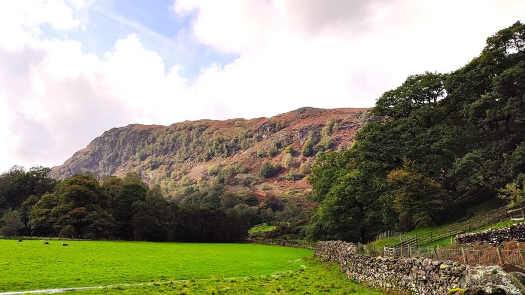
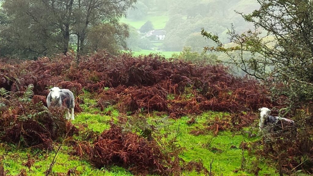
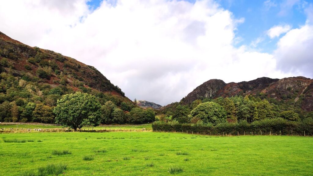
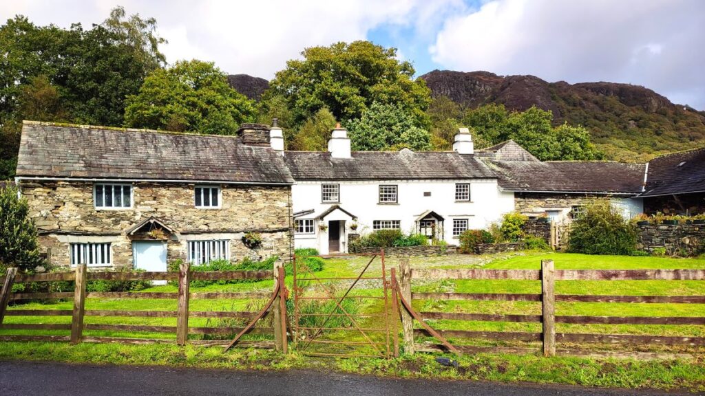
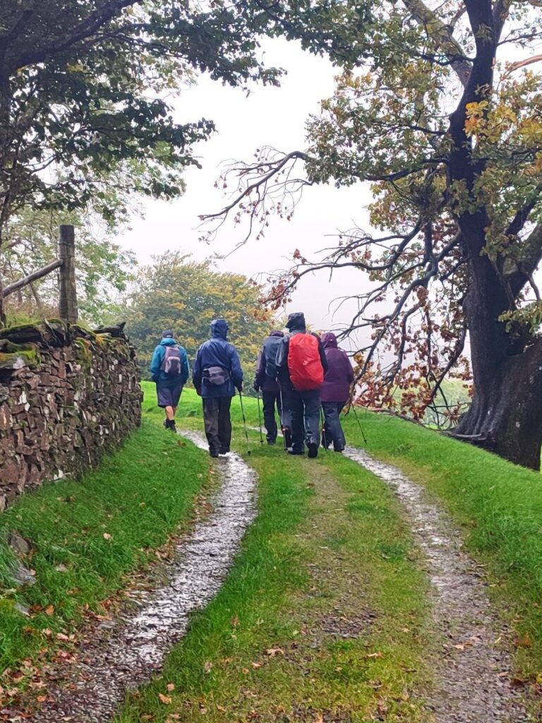
Fully rested we continue over the bridge and then immediately right to walk in front of the whitewashed cottages. The path then continues across a couple of fields and then heads left along a yew hedge back to the main road at High Yewdale. There are great views of Yewdale fell along here.
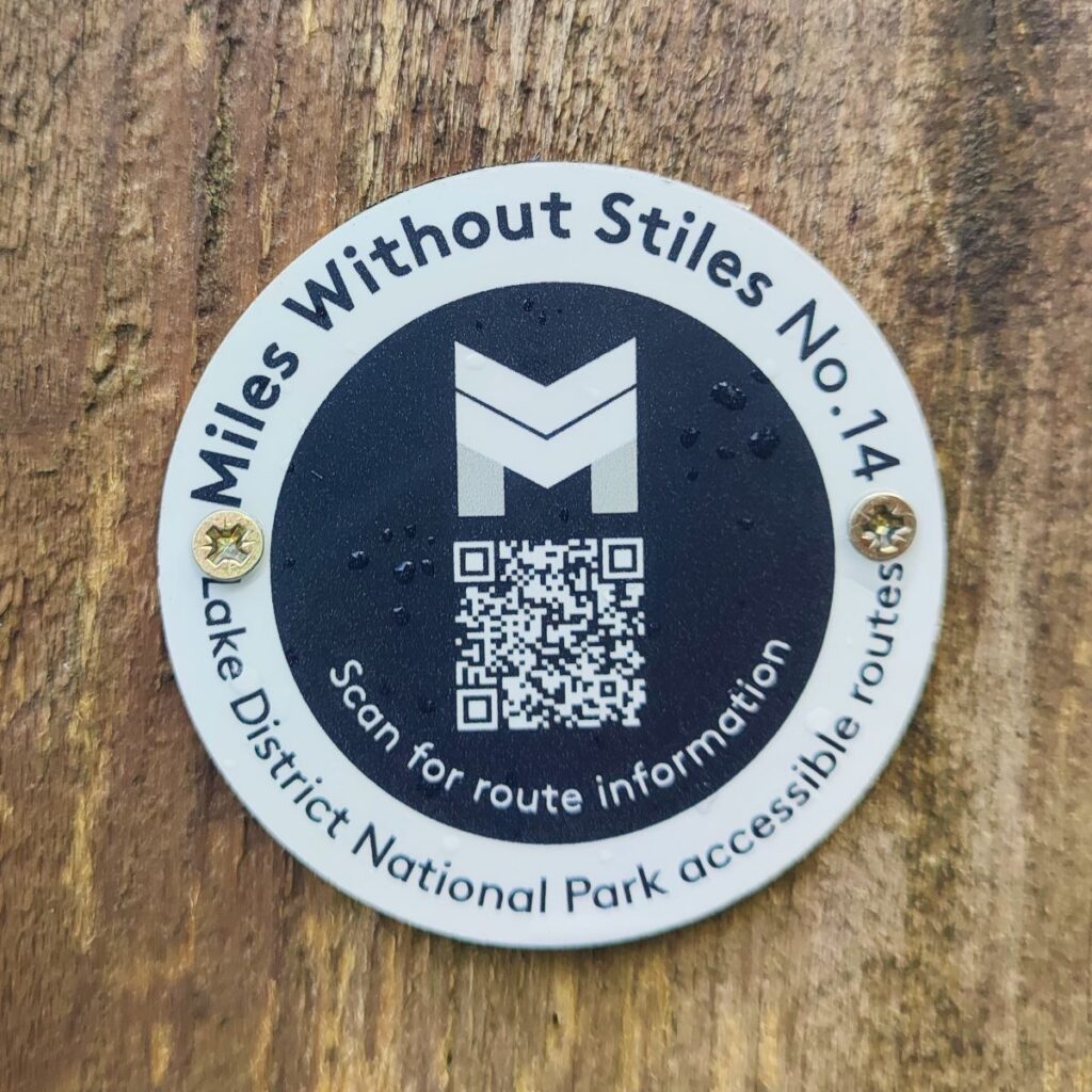
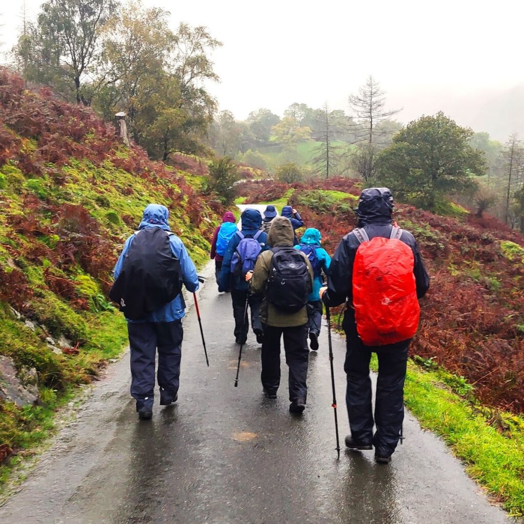
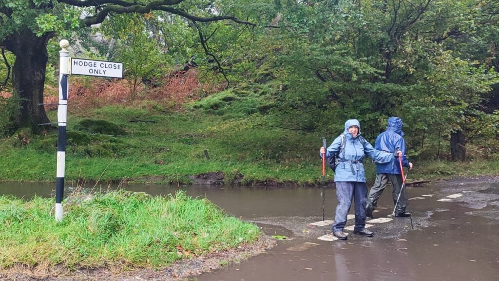
We turn left at the main road and walk (with care – this is a busy road) up to the signpost for Hodge Close, where we turn right and walk up to Shepherd’s bridge. We cross Yewdale Beck again and see a pedestrian path just beyond the bridge we take this and follow a well surfaces route which is part of a miles without stiles access scheme.
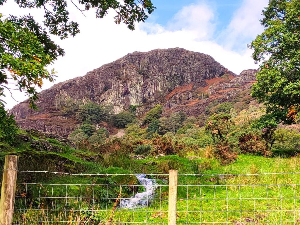
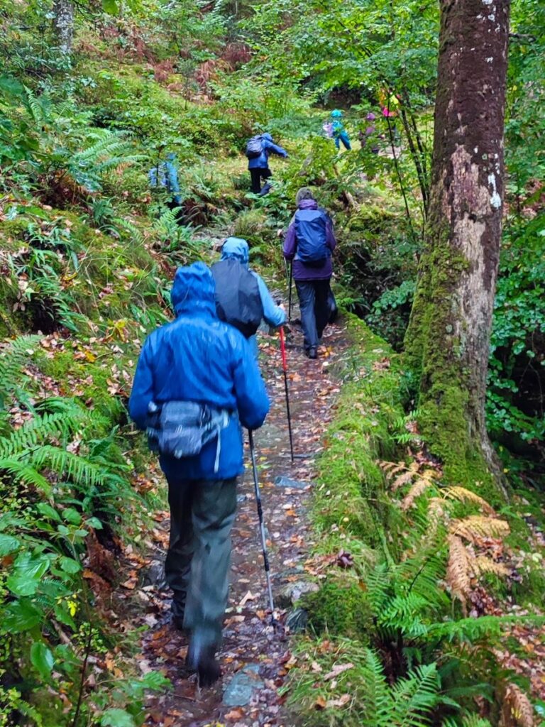
This path eventually comes back to the A593 within sight of the car park where we started, but we recommend looking for a path on the left where we head through a gate and into a paddock where we go North and up to Harry Guards Wood. We follow the path until we see a kissing gate and then head sharp right to follow the path downhill through the woods and down toward Yew Tree Tarn.
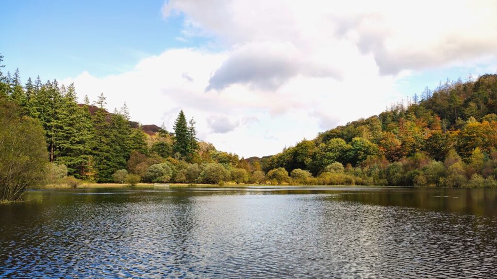
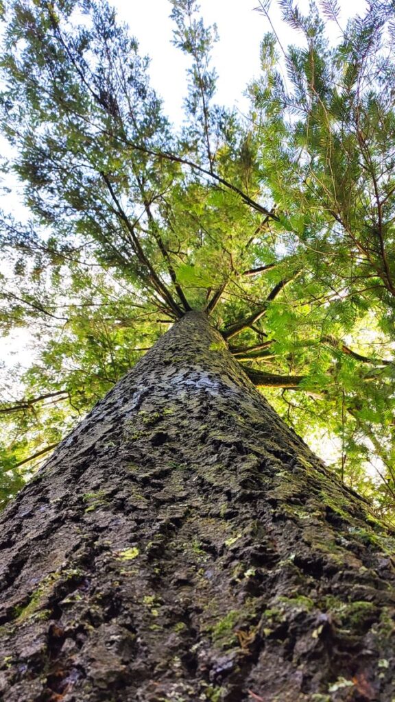
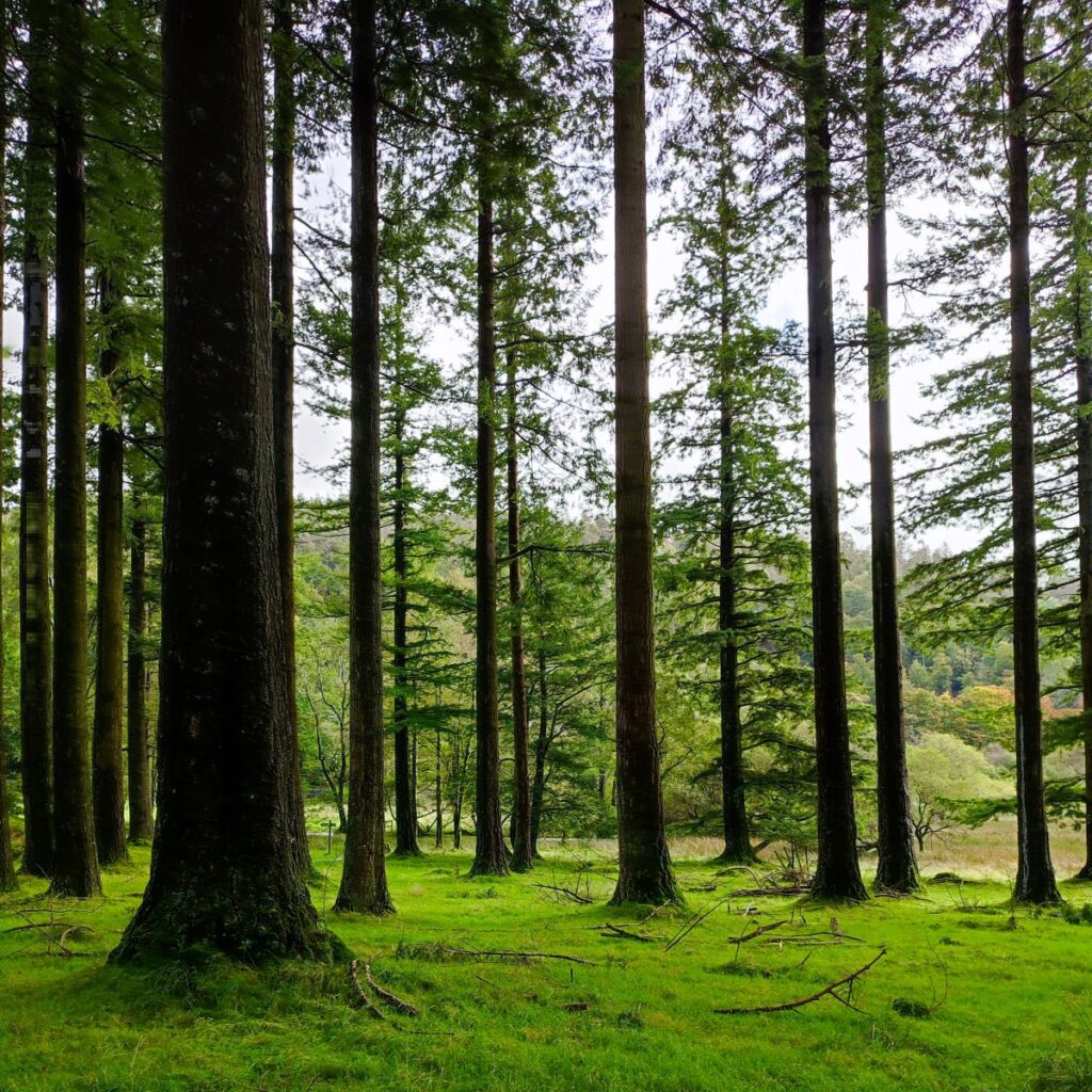
There is a fork in the path where we keep right – the path on the left goes up to Holme fell, and may be worth exploring another time, but for now we keep on the lower path down to a gate where we enter a stand of exceptionally tall trees next to Yew Tree tarn.
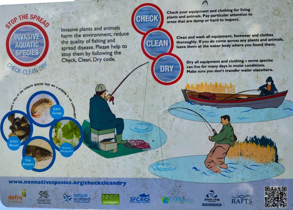
Ahead we see a finger post and take the path to the right which follows the edge of the tarn eventually ending up back at the A593. On the way through we enjoy great views across the tarn, and some interesting signage alerting us to invasive species of shrimp in the tarn.
Like Tarn Hows, Yew Tree Tarn is largely man-made: It was formed when the landowner dammed the Yewdale Beck in the 1930s and stocked the lake with trout. Currently, fishing for brown and rainbow trout is controlled and managed by the Coniston and Torver Angling Association.
In July 2010, volunteers from the South Lakes Rivers Trust and the Coniston and Crake Partnership removed most of the fish from the tarn in order to avoid kill-off due to low water levels during a prolonged local drought. The fish were moved to the downstream beck, and some re-stocking has since occurred.
At the South end of the tarn, we cross the dam with an attractive spillway managing the water levels, before returning to the A593. We cross with care and then take a clear path up into the woods opposite which tracks back to the car park where the walk ends.
OS Map
Downloads
Gallery
Some pictures from the walk on 6th October, with the sunniers ones from a few days earlier