(pictures from 2nd October 2022)
Jump to . . .Step by Step | OS Map | Downloads | Gallery | Fly through
The Cartmel Peninsula is a popular starting point for walks, and it features in a number of BFG routes.
This circular walk starts at Low Woods near the River Leven just South of Haverthwaite, then tracks up the valley to Backbarrow. We cross the Fell to Hazelrigg and work South to Seatle. From there we walk through woodland to High Cark, and cross Seatle Plantation to visit Bigland Tarn before working down steepish woodland paths back to our start.
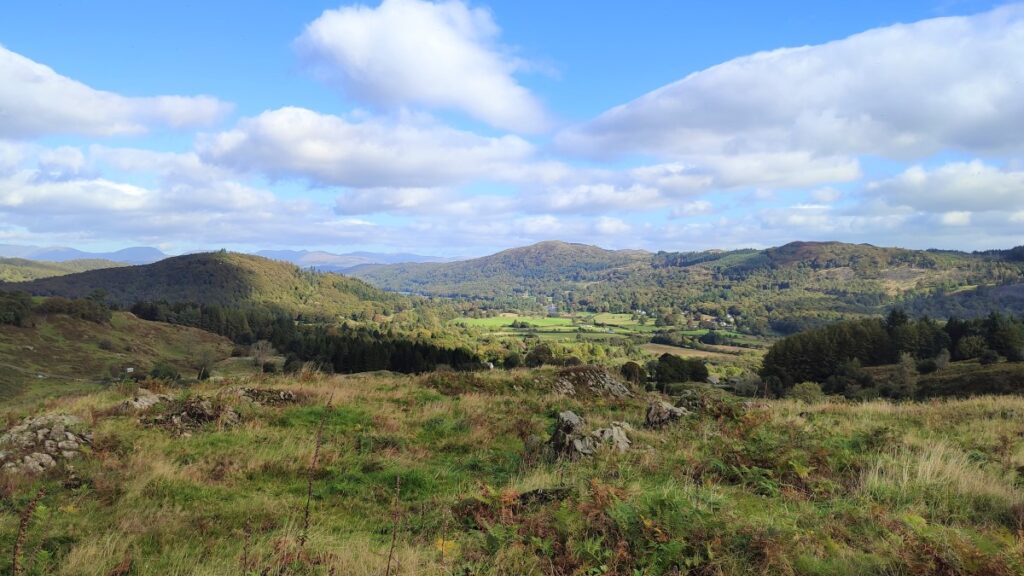
This is quite a long walk, so we list it as challenging, but there are no particularly steep climbs nor difficult terrain, and the views toward Windermere and the Southern Lakeland Fells pay dividends, so if this is slightly longer than your normal limit, it’s still worthy of consideration.
- Total distance 15.3 km (9.6 miles)
- Total Ascent 530 m
- Challenging walk
Step-by-Step
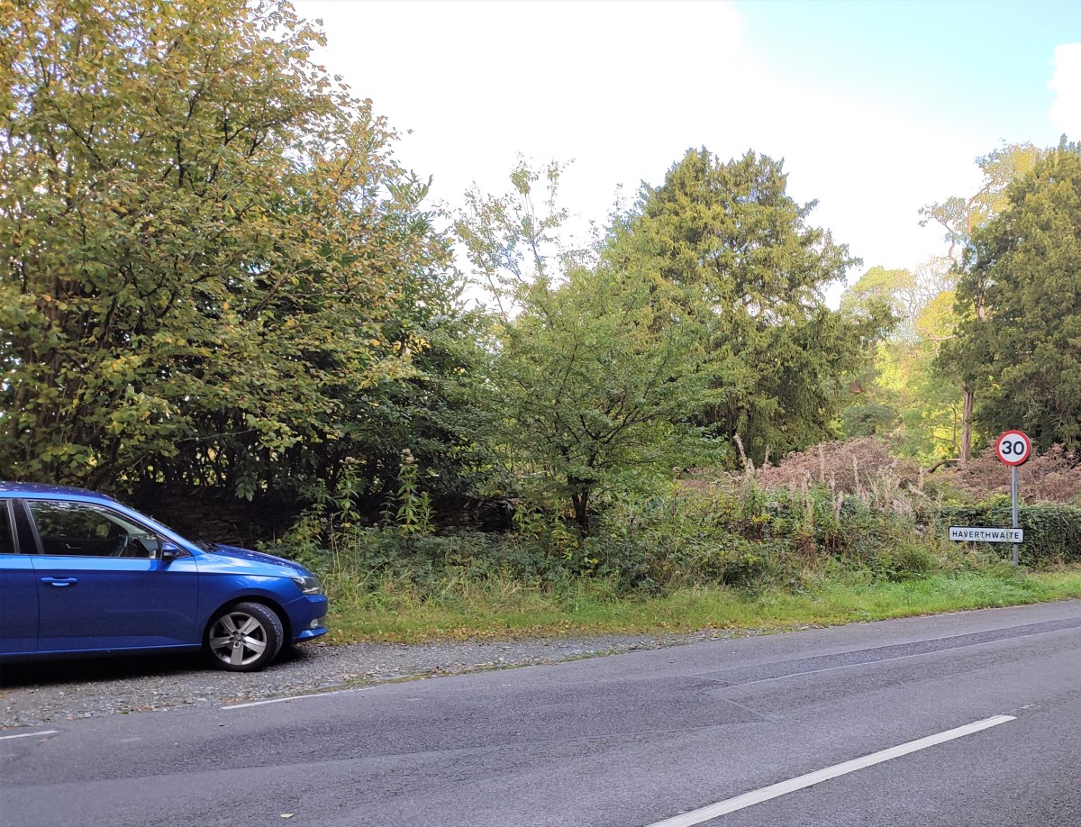
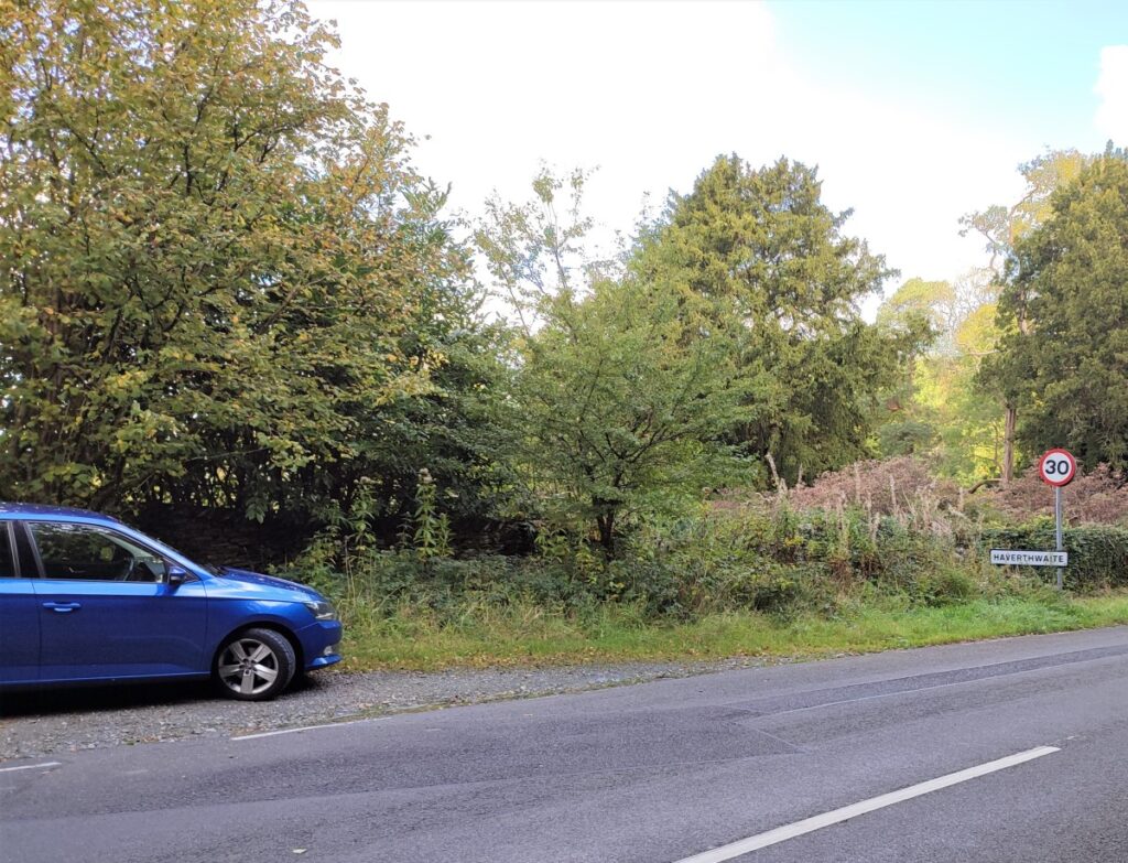
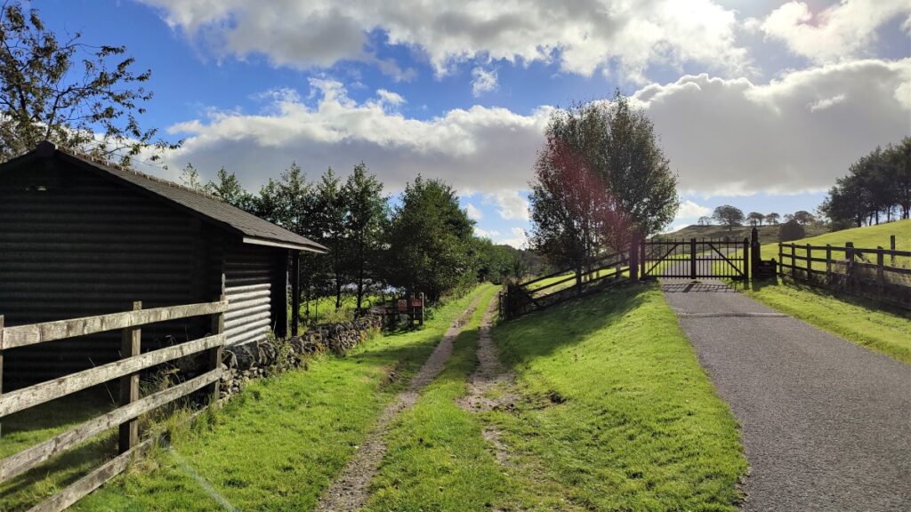
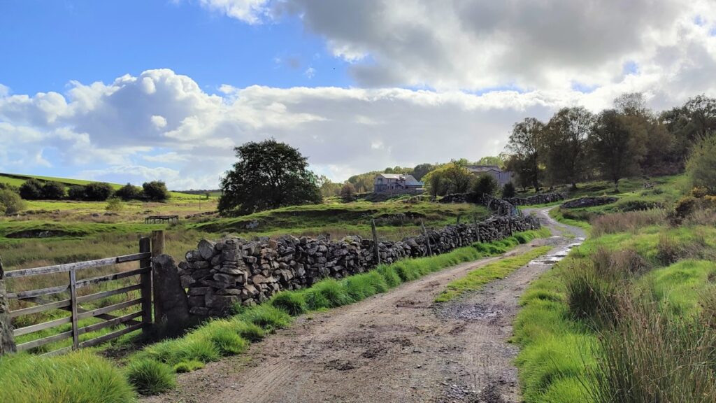
We start at a convenient lay-by on the B5278 just South of Haverthwaite. If you are approaching Haverthwaite for the East on the A590, pass the Lakeland Motor Museum, and then look out for the Lakeside and Haverthwaite Railway on the right of the road. Take the left exit opposite the railway and continue until you arrive at the B5278. Turn left here, cross the river Leven, and then look for the layby on the right in about 200m. If you are using Satnav, then the postcode for the Clock Tower Works at Low Wood – LA12 8LY will get you reasonably close, and for more precision, What-3-Words tag blinks.firewall.skins pinpoints the lay-by. For paper map users the grid reference is SD34578337.
From the parking area, we head back down the road toward the river Leven. We pass a wooden gate on the right hand side of the road with an inviting footpath sign, but don’t be tempted by this – this is where we return.
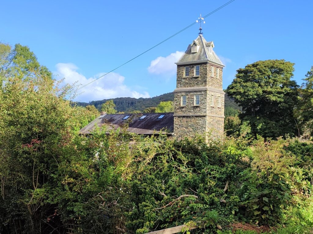
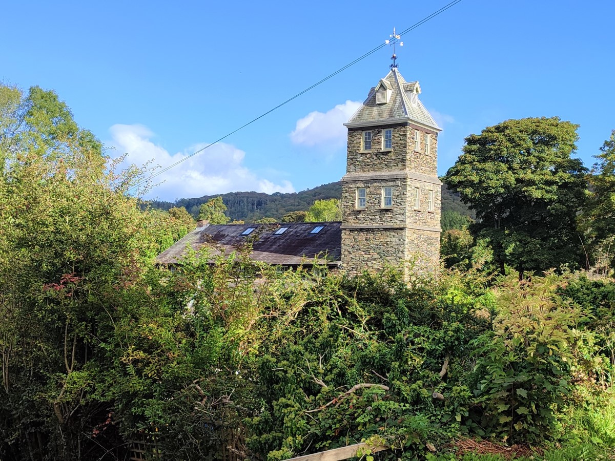
Carry on for a short while until the road forks – we take the much smaller road on the right, passing some impressive gates, as the main road bears left and heads to the bridge over the river. Head down the lane toward the small hamlet at Low Wood, with the impressive clock tower visible as a landmark.
This pretty, well cared for collection of houses was once the centre of an industrial area, with a large Gunpowder Mill next to the river Leven.
The Low Wood works was founded in 1798 by Daye Barker who lived at nearby Birk Dault. Manufacturer of gunpowder continued until 1935, by which time, the works was part of the Imperial Chemical Industries (ICI) conglomerate.
Most of the site is overgrown now, but the well preserved clock tower building dated 1849 is now used as a business centre.
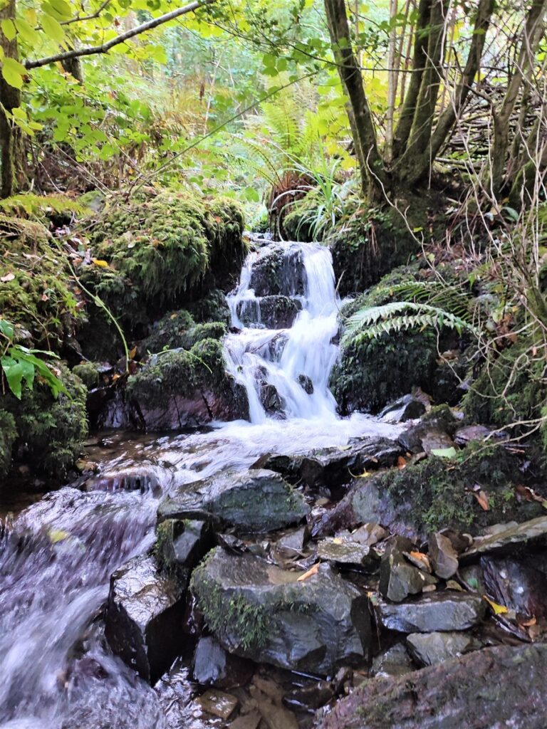
In the adjacent wood, and partially visible from our route is an extensive, branched leet fed from the river Leven which powered water wheels and is still supplying power to a turbine which feeds the National Grid.
A 3’6″ horse-drawn tramway once linked to Haverthwaite station via a rail network throughout the site including a line up to a magazine half a mile away to the southwest. Two gunpowder vans are now held locally by the Lakeside Railway Society, and many barrel stencils showing export destinations, notably West Africa, were found on site and are now at the Abbot Hall Museum of Lakeland Life and Industry in Kendal.
Gunpowder is made by wet-mixing just three basic ingredients, saltpetre, charcoal, and sulphur for several hours. This was initially undertaken in sealed wooden barrels with balls of lignum vitae (a very hard wood) providing milling action without any risk of sparking.
At Low Wood this was replaced with limestone “edge runners” – in effect grain milling technology, and remains of the millstones can still be seen on site. The aim was to coat every charcoal and sulphur particle with a layer of saltpetre. Originally the metallic gearing mechanism was placed above the edge runners, but this caused explosions whenever bolts and metallic components dropped into the process. So as a safety measure in later years the gearing was placed underneath the mill stones.
The wet milled powder was then pressed between copper or ebonite plates in the press house to form press cake. This was then dried and granulated in the corning mill – the word “corning” in this context means milling down to give grains about the same size as corn.
This was the most dangerous stage of manufacture, so the roof and front of the building were lightly constructed such that they could blow out in case of explosion, leaving the main structure intact.

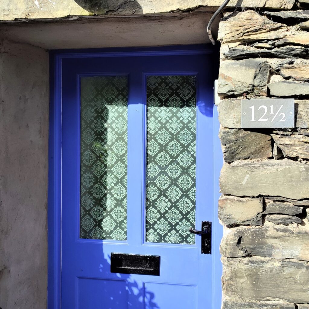
As we walk through the housing at Low Wood, we notice that one of the cottages bears the number 12 ½. This is not a Harry Potter affectation – the cottage has had this number for a long time, and it arose when a storage barn – which sat between numbers 12 and 13 but which was not numbered was converted to a dwelling.
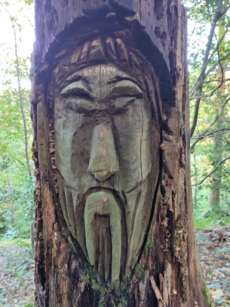
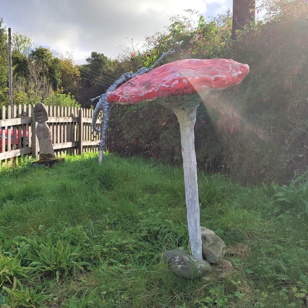
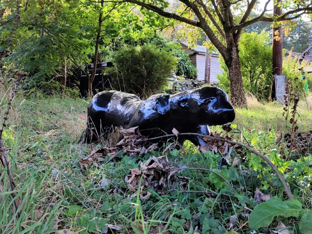
Also noteworthy in the village is a fine collection of sculptures – the pink panther is particularly worth seeking out.
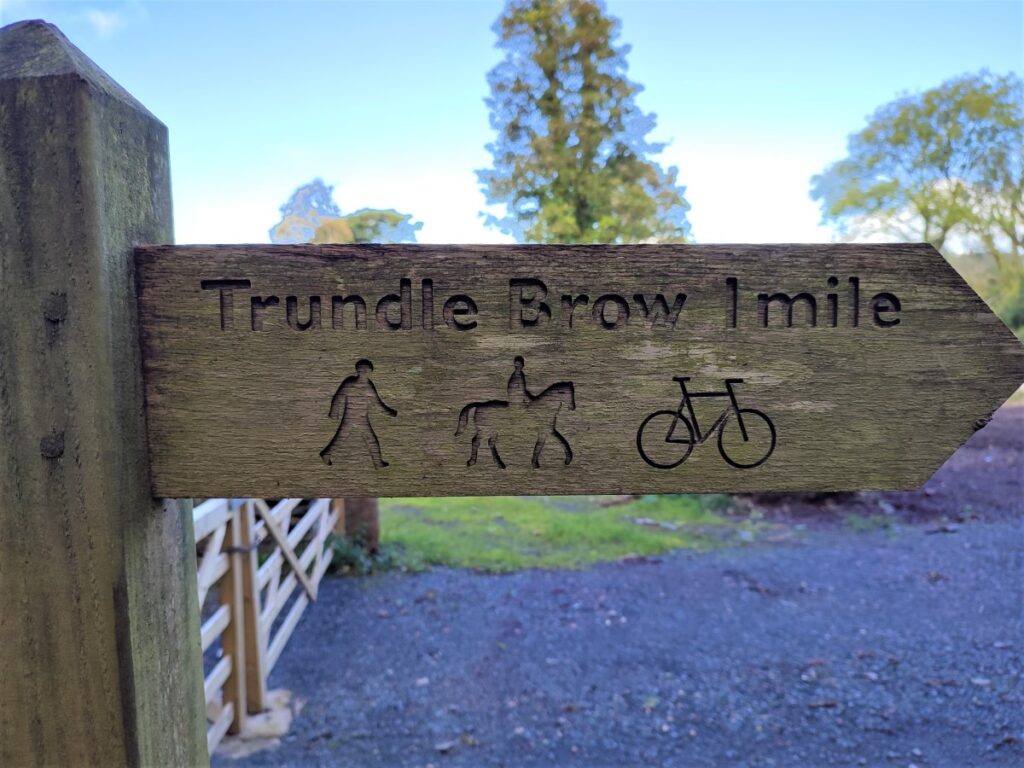
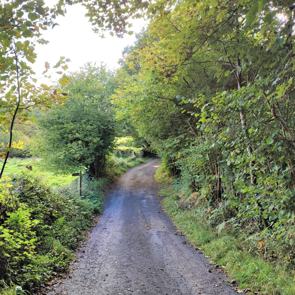
As we head out of the village, and head slightly uphill, the road veers sharp right – and our route carries straight on and is clearly signposted for Trundle Brow.
At the start of this path, look over to the left and you will see part of the leet system that supplied water to the gunpowder mill.

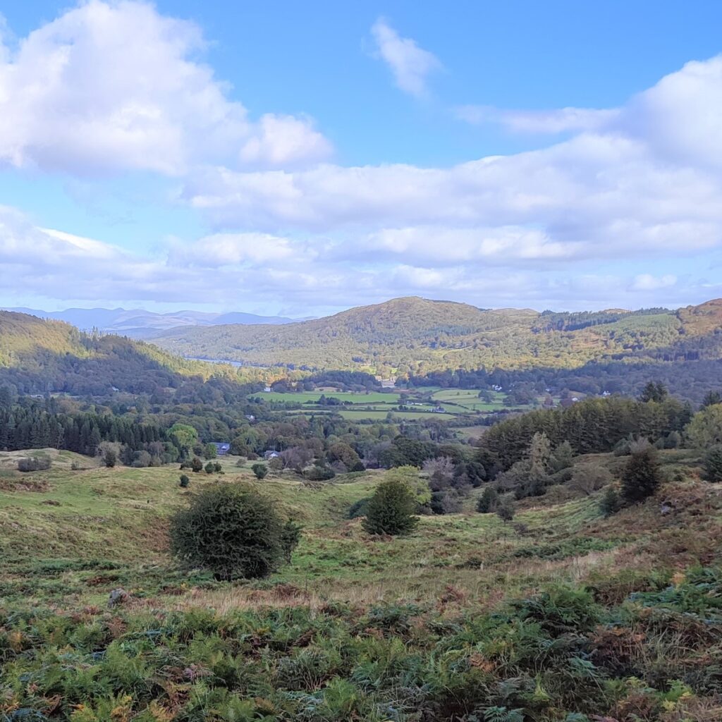
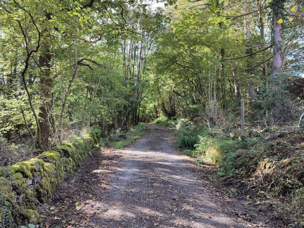
Our path follows the leet uphill for a while, although it may not always be visible, and we walk up through pleasant woodland for a while, until the views open up on the left with Backbarrow in the distance and Massicks Wood on the opposite side of the Leven Valley.
We stick with this path until it meets a small road where we turn left and start walking downhill toward Backbarrow. We don’t go into the village on this walk, but it’s worth making time to visit Backbarrow another time:
Backbarrow was established during the Elizabethan period, to man the corn mills that were built along the river Leven. Development increased further when an iron furnace was built in Backbarrow in 1711. The furnace has been described as the first efficient blast furnace, so is of national significance, despite not being as “interpreted” as Ironbridge in Shropshire.
In addition to the iron works, Backbarrow was particularly associated with the production of the blue pigment ultramarine, better known as dolly blue. The ultramarine factory was established in an old mill building by the Lancashire Ultramarine Company, then purchased by Reckitt & Sons in 1928. The site was referred to locally as the “blue mill” because dust from production gave a blue tint to most of the village.
Production of this continued until 1981. The factory site now accommodates a popular hotel and two blocks of apartments. A display of machinery used in the old factory is maintained by the hotel’s proprietors while the old furnace, believed to be the only remaining example of its type, has been declared a Scheduled Ancient Monument and preserved as part of the Ironworks Apartments development.

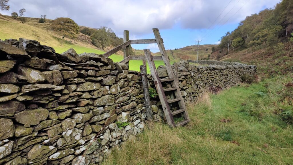
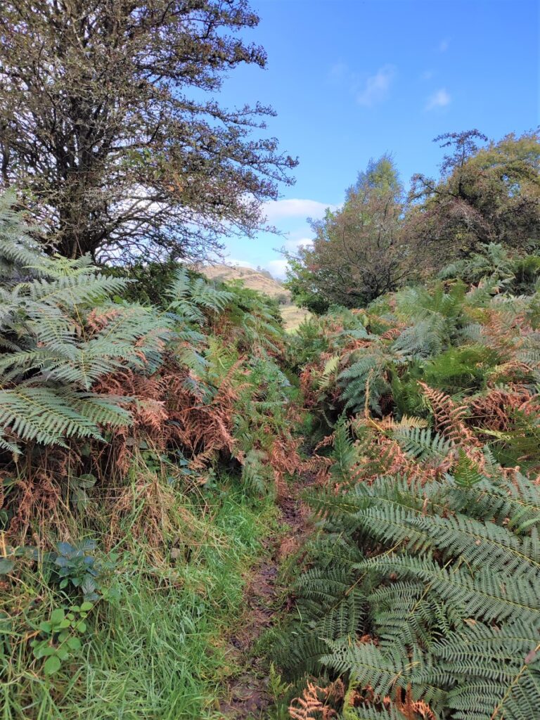
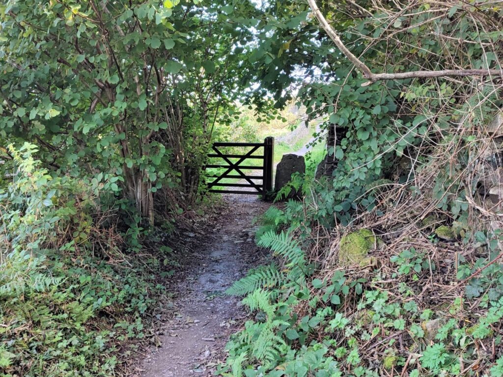
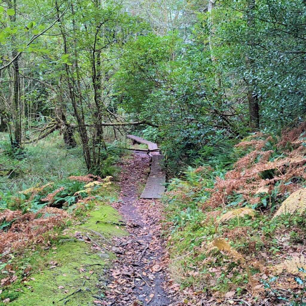
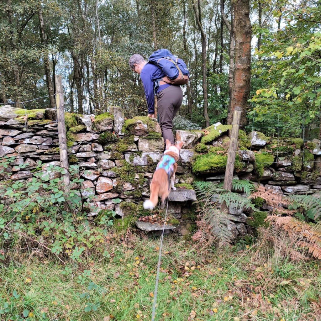
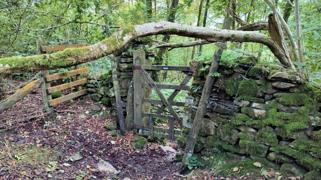
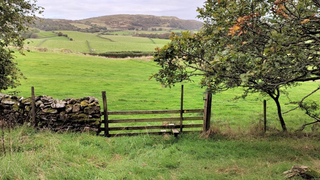
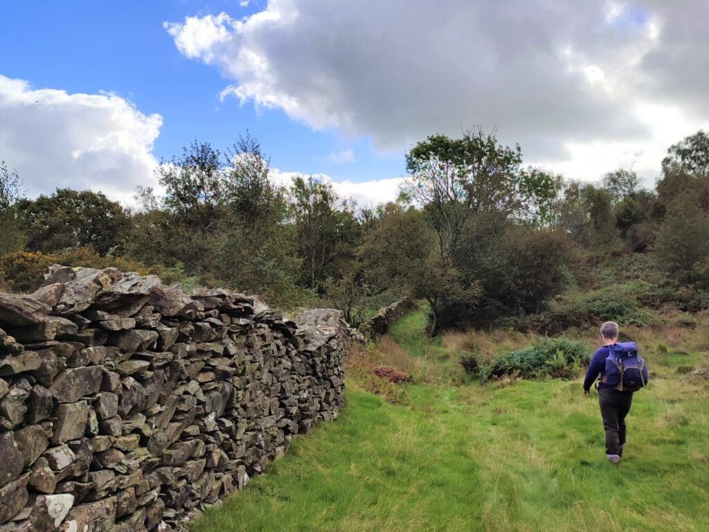
A short distance after joining the road. Look out for a playground on the right and take the path through the playground and past the bungalow into the woodland known as Bishop’s Allotment. The path here tracks along contours and at times is narrow and routes through thick bracken with a fence and/or drystone wall on the left throughout.
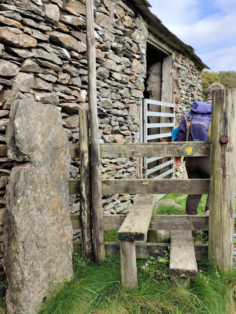
The path we are on eventually goes as far as Newby Bridge, but we need to head off East long before then. So, look out for a distinctive stile on our left where another path comes up from Backbarrow. At the stile we take the less obvious path up the hillside on the right to pick up a drystone wall which we follow uphill toward the corner of a patch of woodland known as Hoggarth’s Plantation.

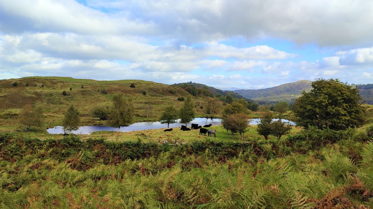
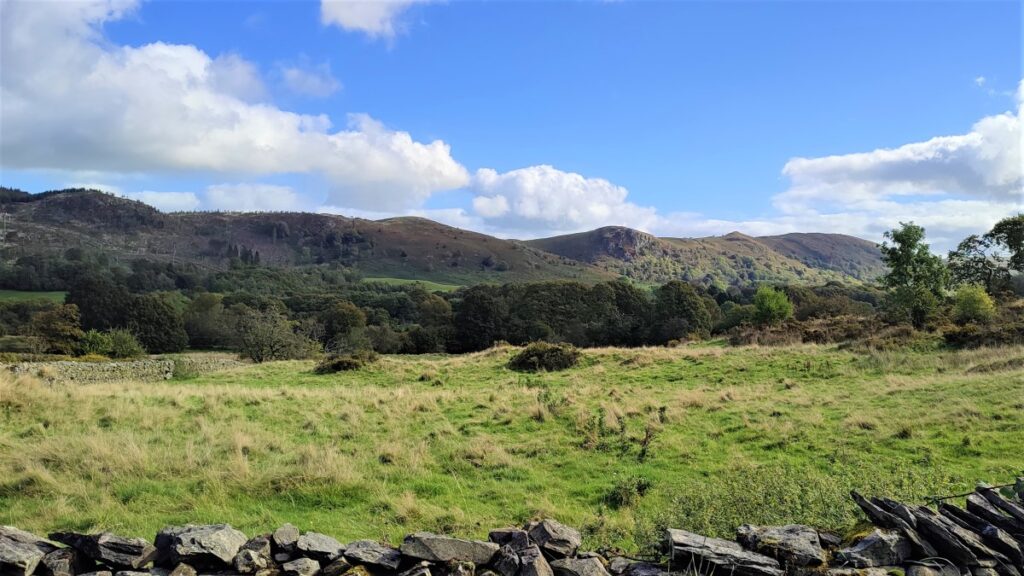
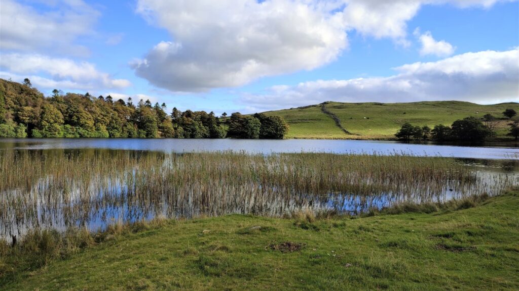
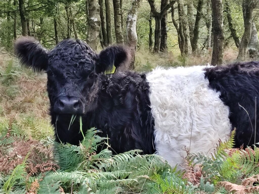
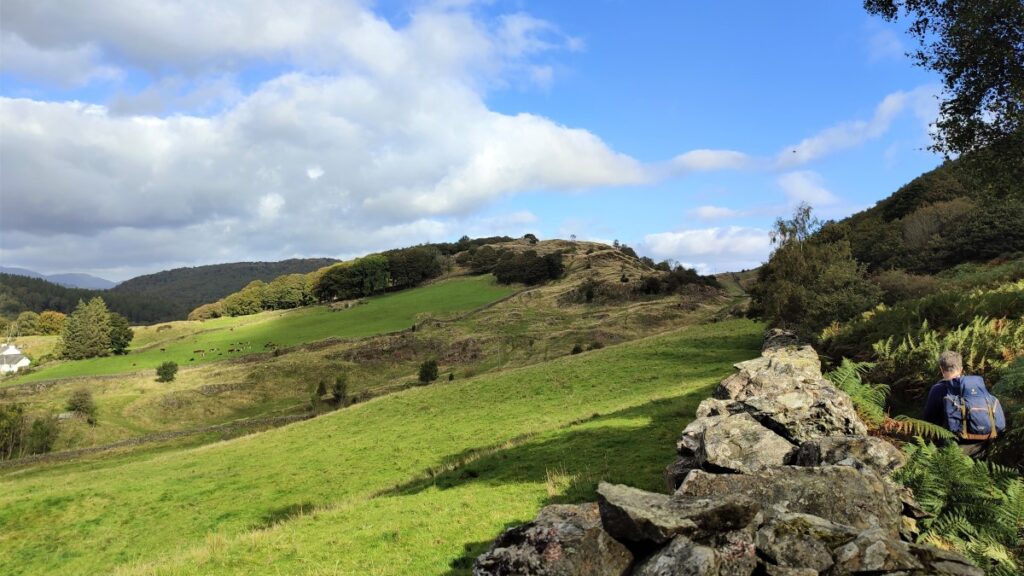
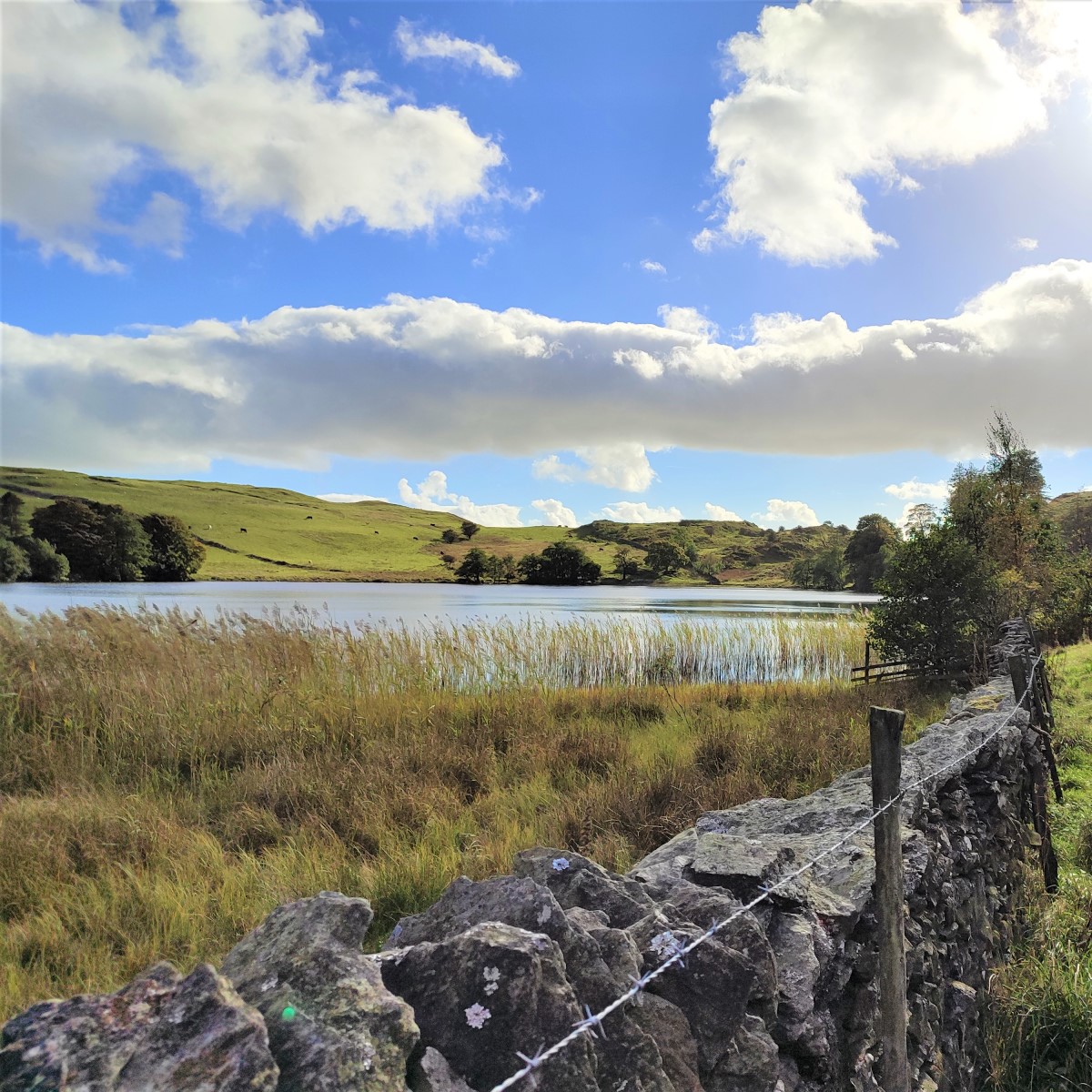
As we walk uphill, we start to see across the valley toward the South end of Windermere, and closer to hand we get a good view an attractive but un-named reservoir where you may well see cattle gathering.
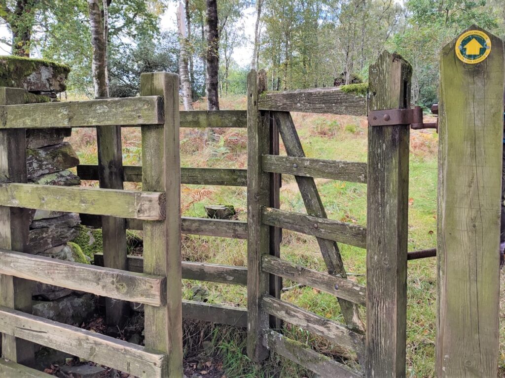
We enter the plantation via a ladder stile and then turn left along a narrow path which soon becomes a track.
The track we are on is part of a network of forestry tracks in the plantation, but navigation should not be difficult as long as we head consistently East. Take care at the last branch though, where the walk leaves the wider track as the right hand branch of a fork.
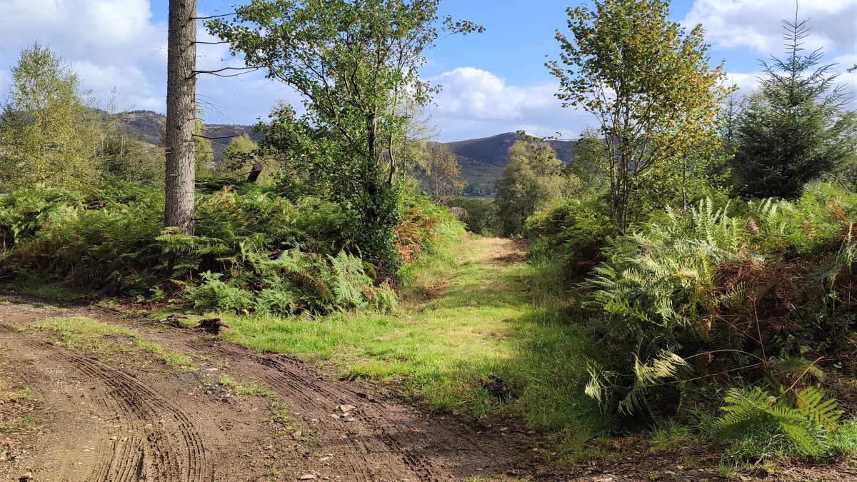
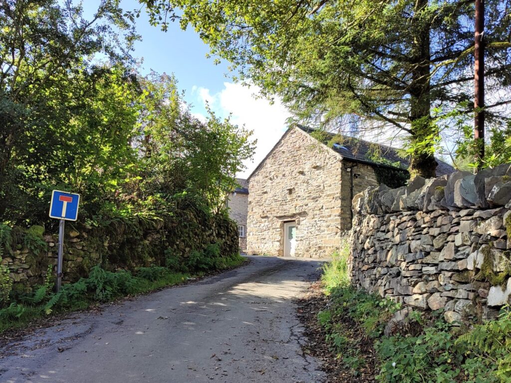
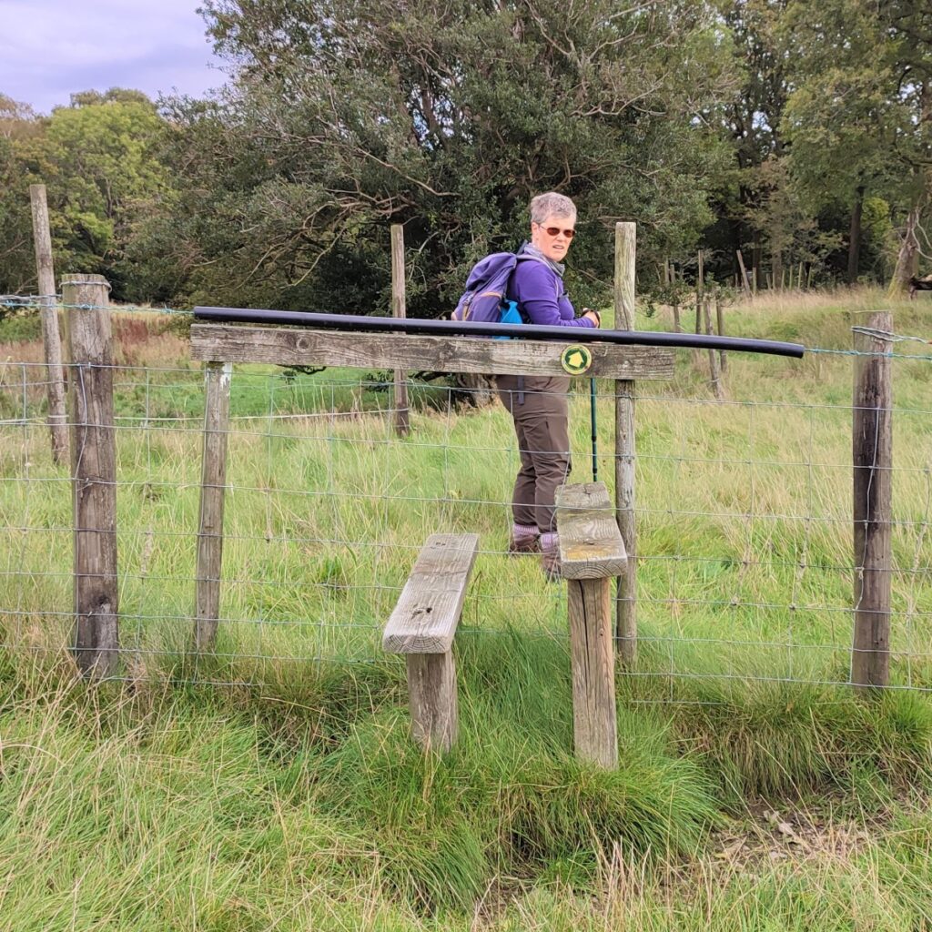
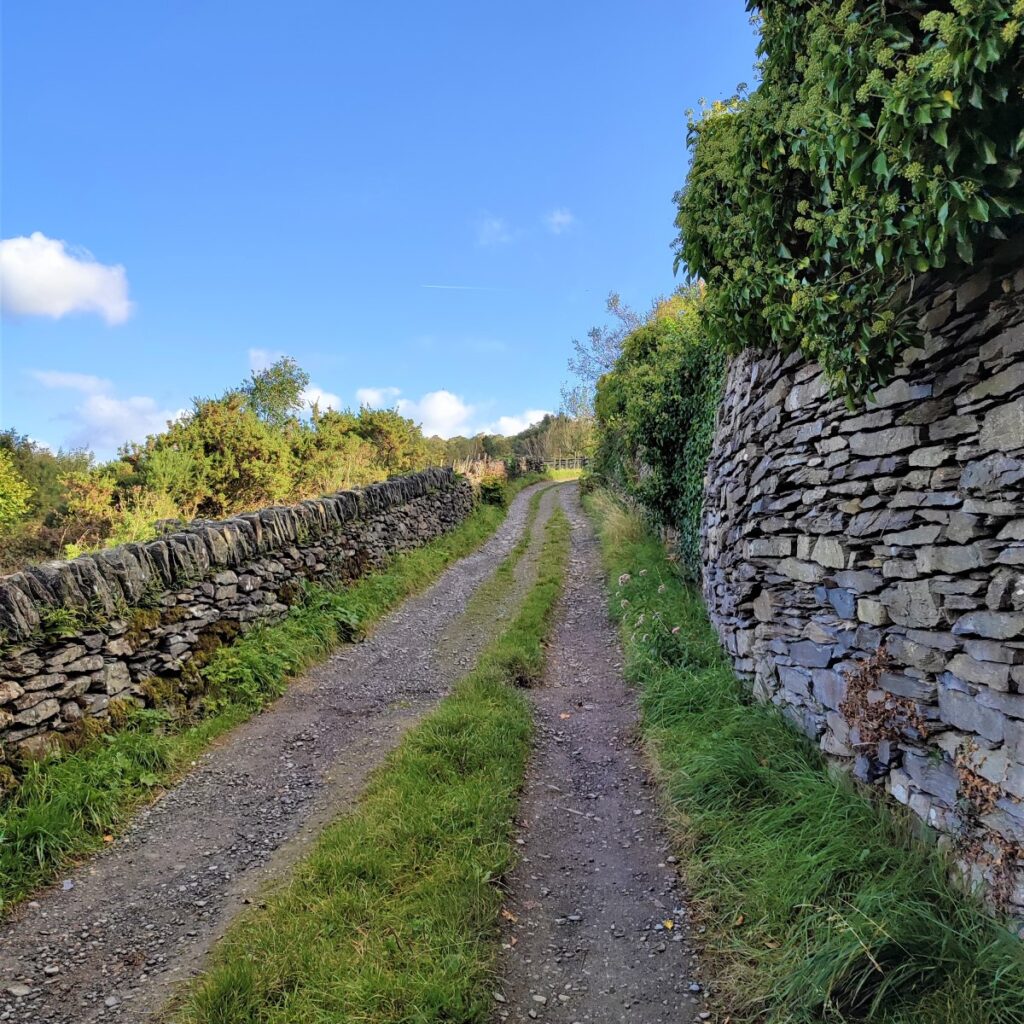
We head down to a gap stile which takes us onto a minor road called Hazelrigg Lane. We turn right and walk along the road for a while until we arrive at the farm buildings at Hazelrigg where the road bears left leaving us to continue ahead, past the dead end sign onto what is now just a track, passing through pleasant woodland.
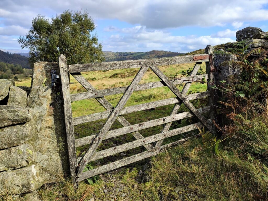
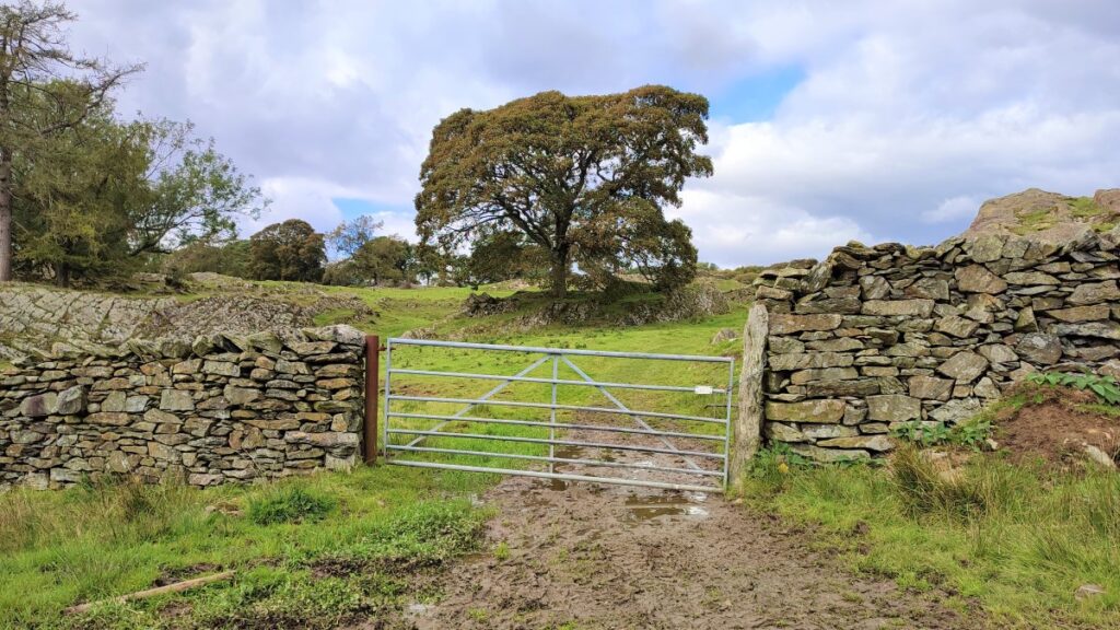
This soon arrives at a metal gate with a stile to the right leading us onto more open land where the lane heads to a farm (Field End). Here a well-marked diversion takes the path around the farmyard to head up Knotts Hill to enter the northern limit of Seatle Plantation.
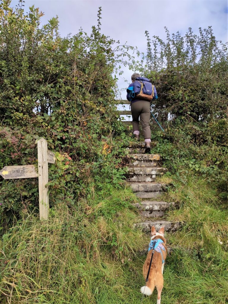
We follow a drystone wall for a while now (with the wall on our left) until we arrive at a gap stile into the planation. This is soon followed by a small step stile. From here the path is somewhat less than clear at times, and there are many minor paths which may distract, so regular checks of the GPS are recommended.
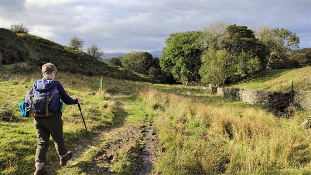
If in doubt, once we are in the plantation, the path takes us due East until we meet a gate where we enter more open land again. We continue in a generally Easterly direction, although the path meanders around to find a clear route through the somewhat lumpy terrain, until we see a pair of gates in the field below us. We head for these and go through the gate on the right to head for the farm and cluster of houses in the distance. This is Seatle.
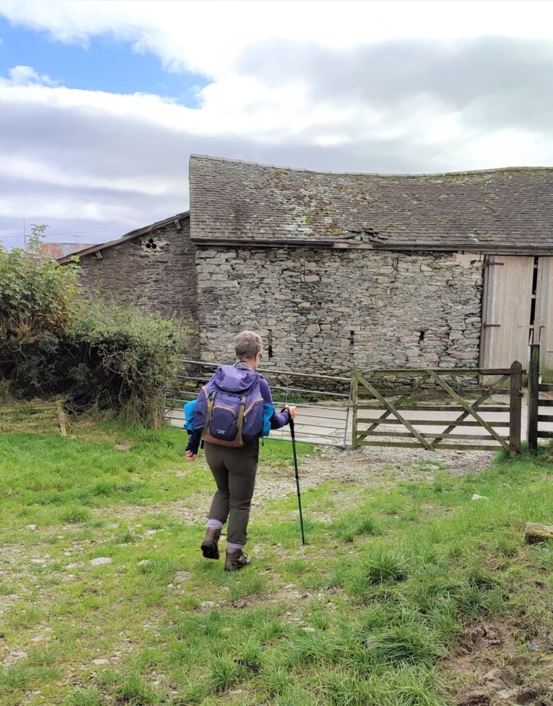
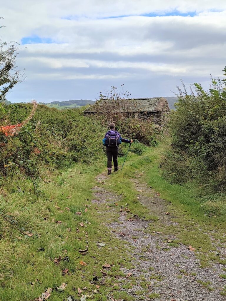
The footpath climbs a steep stile just before the farm and then passes behind the farm to exit via a metal gate onto a rough lane. We follow this to the left for a while, looking out for a smaller lane on the right with a small stone barn at the end of that lane.
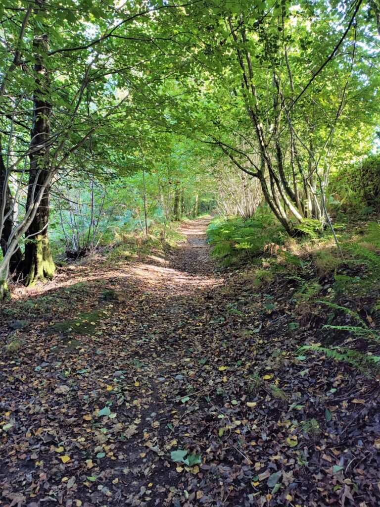
At the barn, we find a stile on the left and enter the field. The path continues diagonally across the field to a small stile in a fence which gives us access to the southern end of Seatle Woods, a sheltered location, with some rocky outcrops that can serve as benches, so this is a good place to take a break.
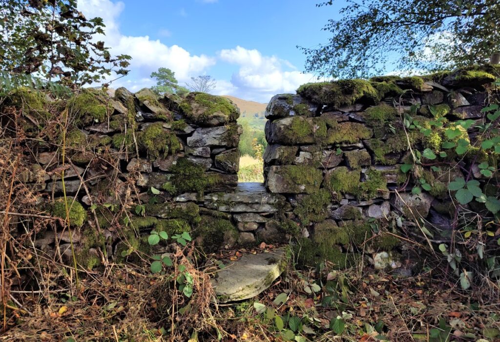
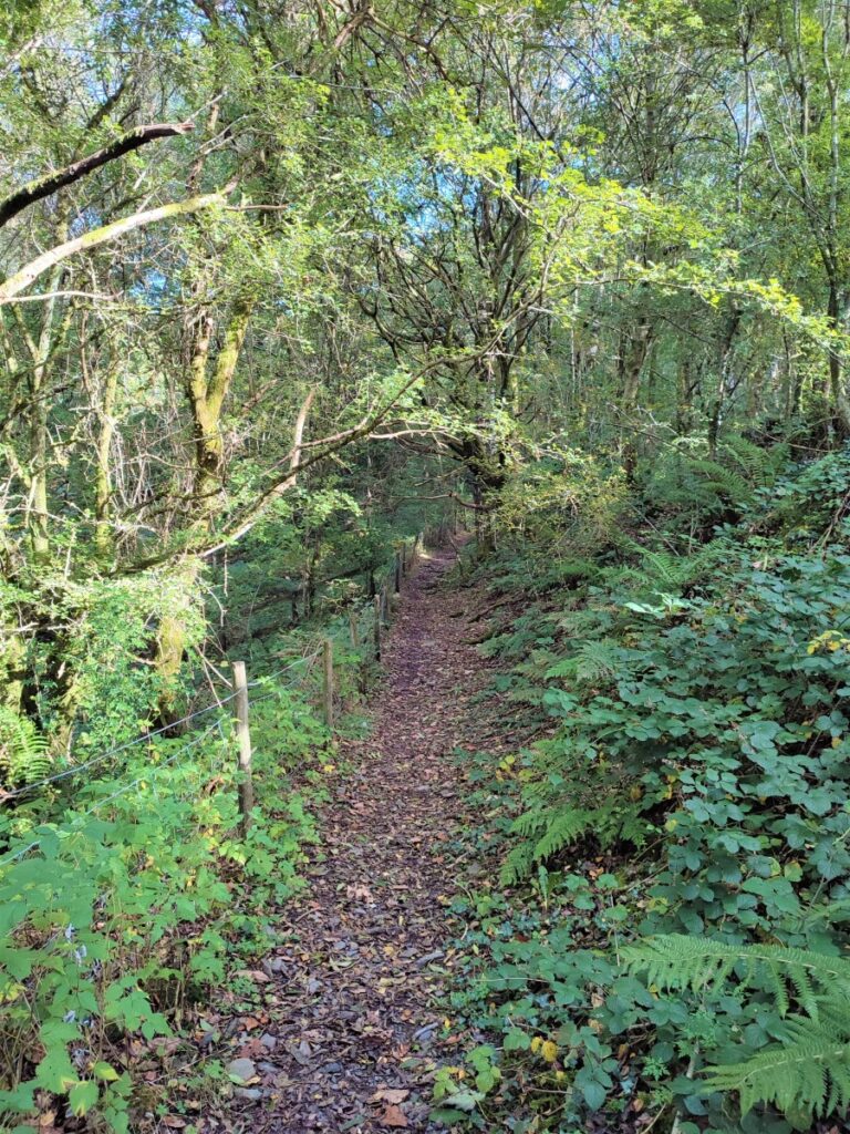
The path through the woods is not particularly clear, and a number of fallen trees require diversions. In general, we need to head Southeast to find the fence at the far side of the wood, where we should see another stile.
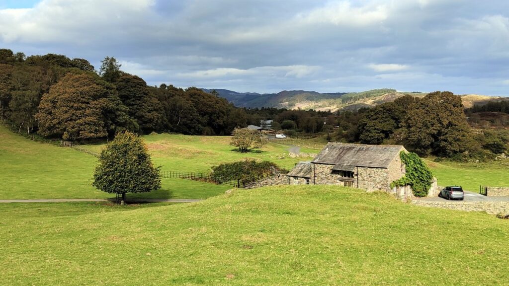
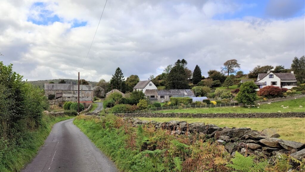
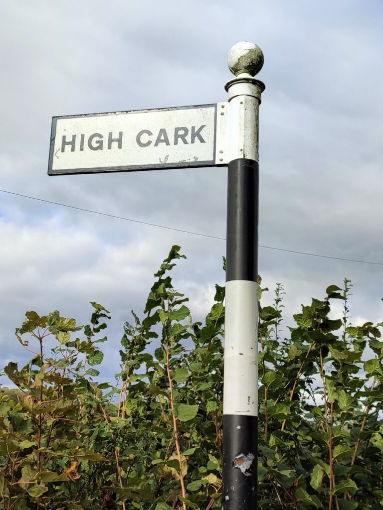
The stile takes us into a field which we cross to find another (somewhat overgrown) stile onto a minor road. We take this to the right and follow the road until we see a sign for High Cark. Here we take the road down to High Cark Hall. This 17th century farmhouse has grade II listing.
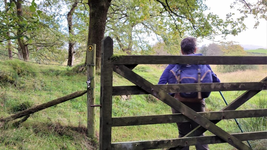
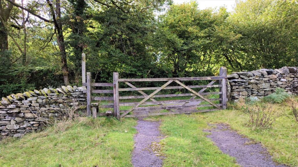
The path continues along the front of the hall and then along a lane to a metal gate. We pass through the gate and then head right and slightly uphill, now heading North toward Gill Wood. Just before Gill Wood, the path heads left (and westward) to re-enter Seatle plantation at a kissing gate.
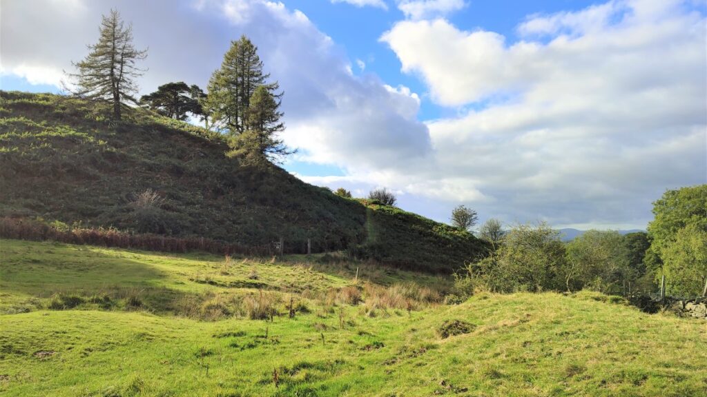
The path though Seatle Plantation, like many woodland paths in this area is somewhat affected by trees damaged during storm Desmond, so the viable routes on the ground may no longer match the track on the OS map. This area is well walked though, so the “new” paths are generally quite easily seen and take us West though the plantation to exit onto a heath at a wooden gate.
From here we follow a clear lane round to pick up a minor road where we turn right to pass Mungeon Farm on the right and then to head uphill toward Back Reddings Wood.
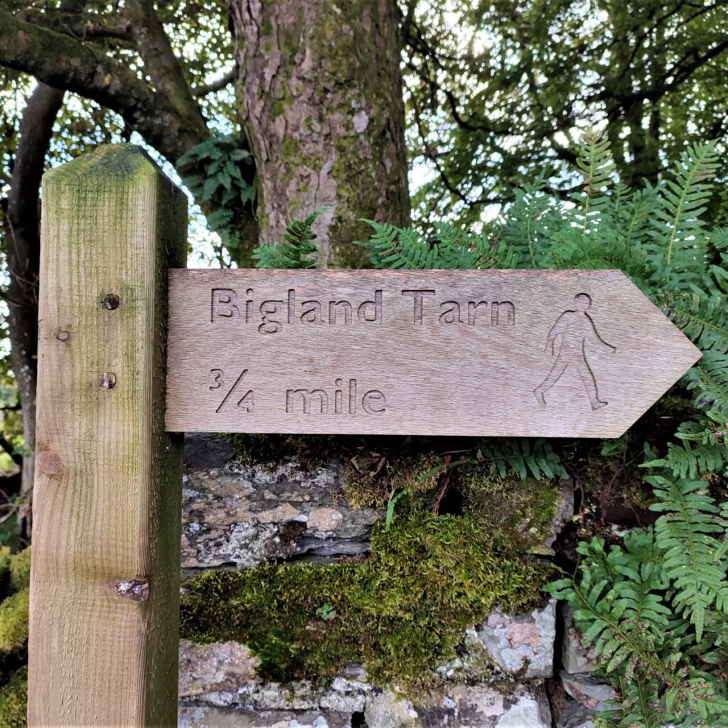
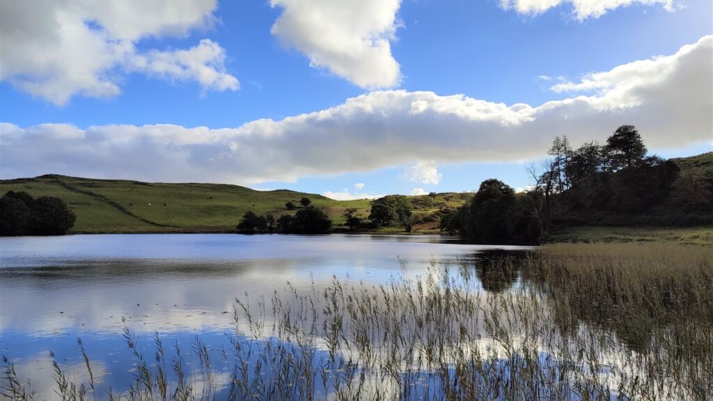
Difficult to miss on the left is the entrance road to Bigland Hall, and the path gives us a right of way down toward the stables before turning left to head toward the tarn. Lots of helpful signage makes it clear where we should be.

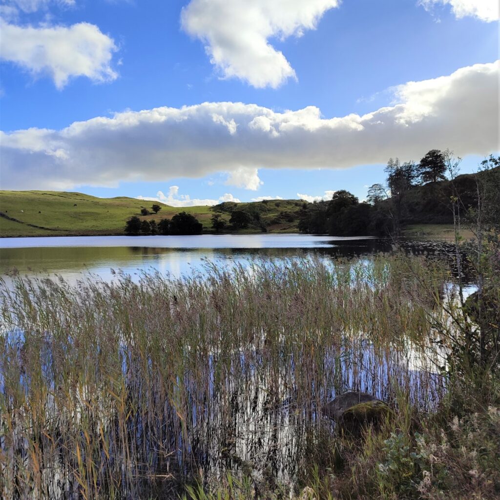
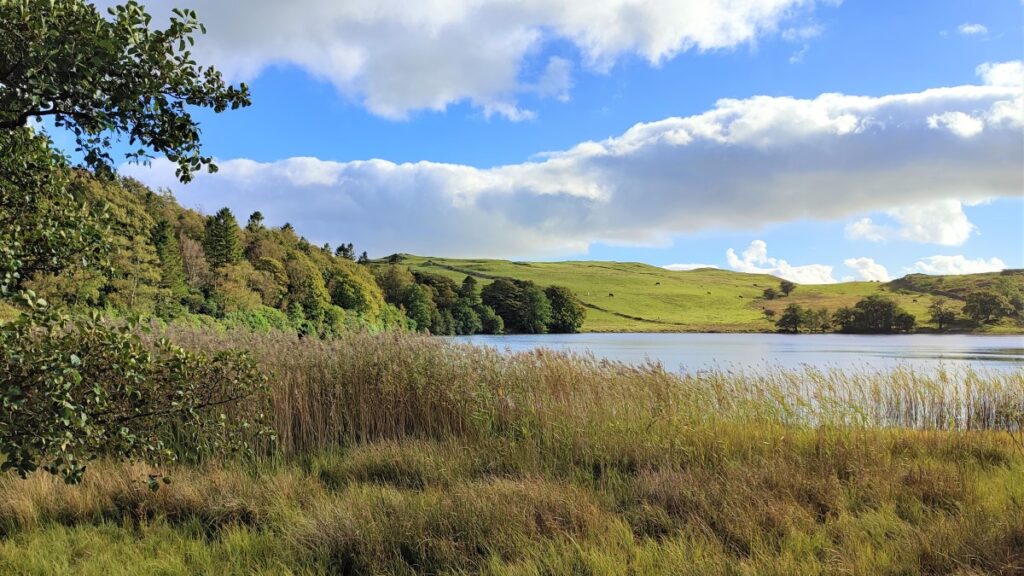
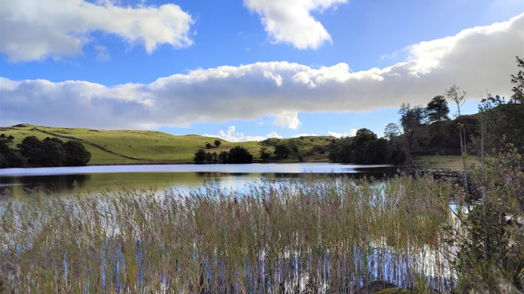
Bigland Tarn is a natural glacial tarn and is owned by the Bigland family. It has been developed as a fishing lake for Bigland Hall Coarse Fishery, and is stocked with mirror carp, some over 30 years old. It is fed by springs whilst the sole outlet flows to the river Leven to the north-west. It has a small jetty and what is believed to be an old icehouse with a turfed-over roof which we pass on the shoreline.
After passing the Icehouse, we look for the stream exiting the tarn, and turn right along the lane that follows the stream. This takes us Northwest, away from the tarn, and down to a gate into the top end of Birk Dault woods. From here the path is steep, and at times quite slippery, but remains easy to navigate, heading Northwest and eventually returning to the B5278 just a few metres from where we parked.
- Total distance 15.3 km (9.6 miles)
- Total Ascent 530 m
- Challenging walk