Jump to . . .Step by Step | OS Map | Downloads | Gallery | Fly through
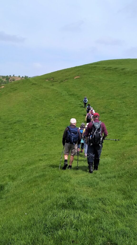
It’s easy to make an assumption that walking in the Lake District means parking problems and overcrowded routes. This walk proves that this is not necessarily the case.
Starting from a convenient and little-used layby on the A590 at Pool Foot, we head upstream to the village of Bouth. From there we enter Old Hall Woods and head over to Colton before taking a path North to Oxen Park.
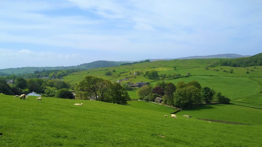
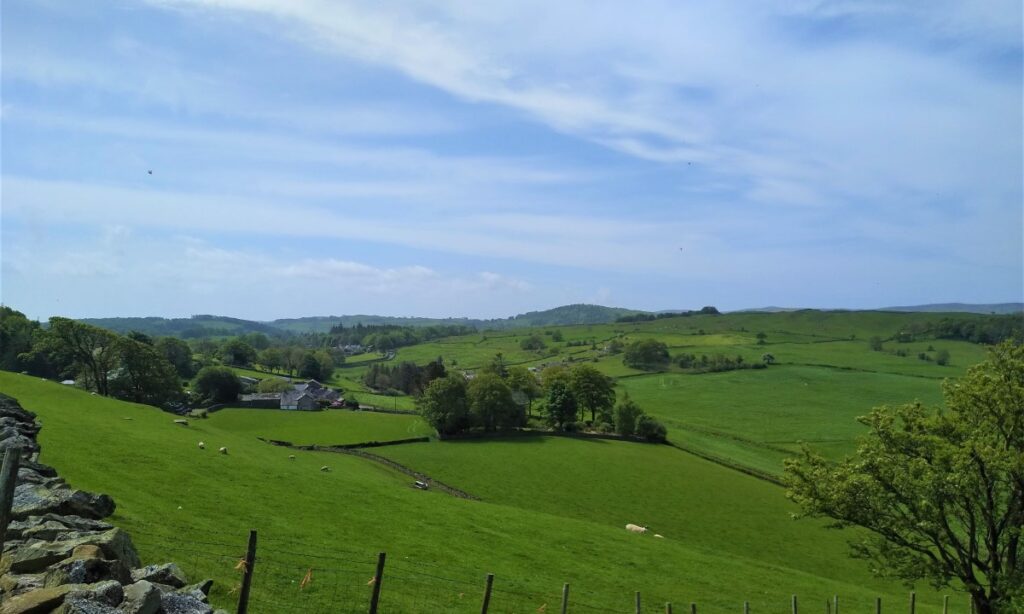
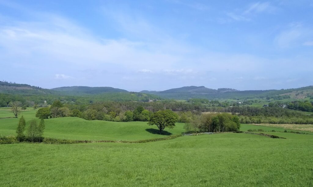
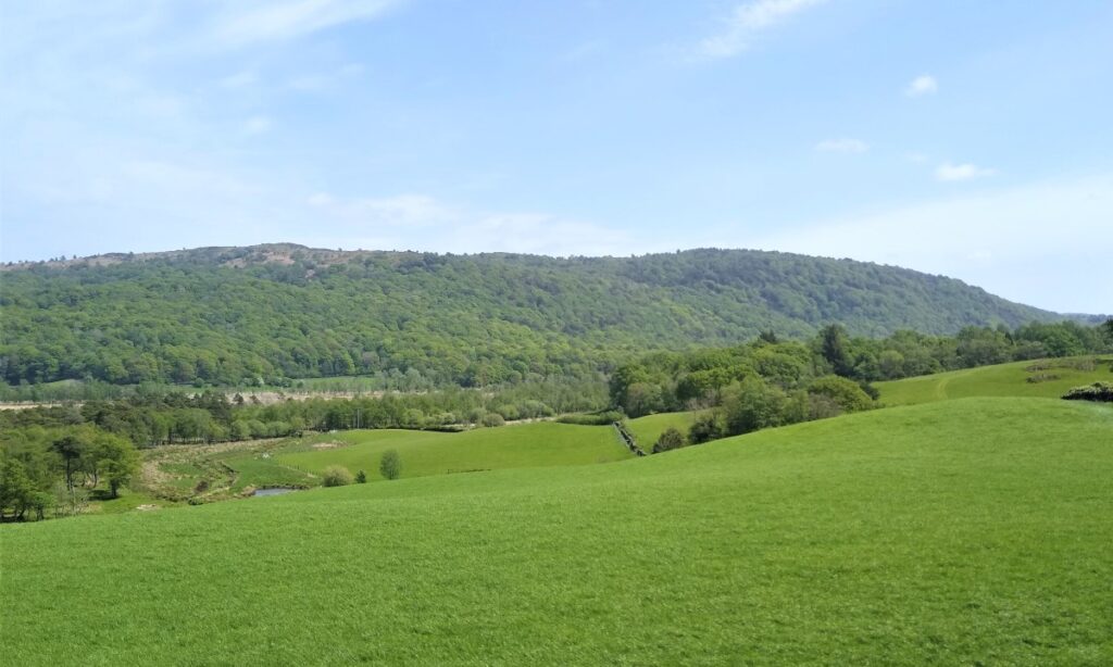
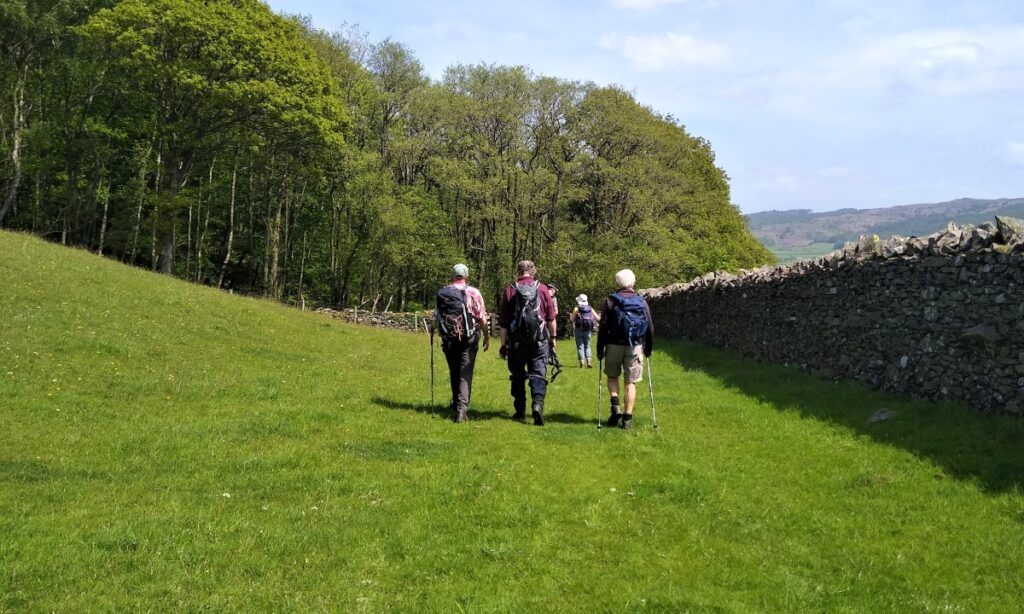
We then pick up a woodland route over to Whitestock Hall before a short section on-road brings us to Hulleter. Excellent views across the Rusland Valley and Rusland Moss National Nature Reserve are enjoyed through this section of the walk.
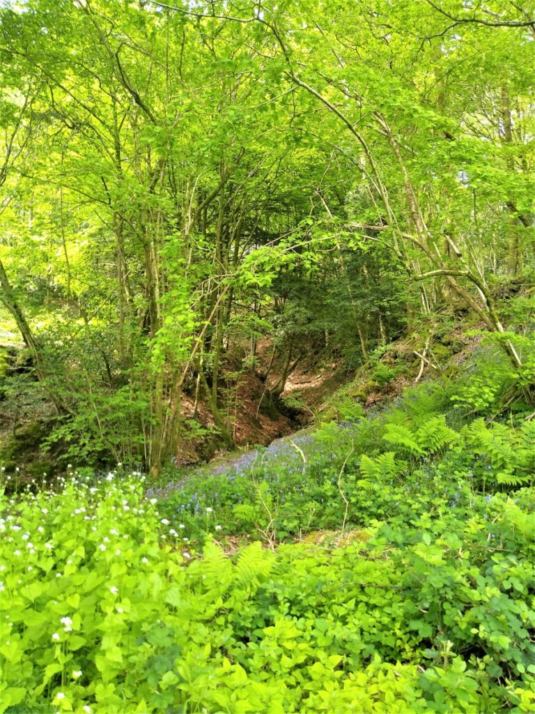
At Hay Bridge we enter the nature reserve with its tranquil tarns, before heading over to Moss Wood. This track brings us back to Bouth, but rather than returning exactly as we started, we now turn right and head toward the woodland at Ashes Intake. Storm damage meant that we then needed to divert back to the causeway south of Bouth before retracing our steps back to the start: We classify the walk as challenging simply because the last diversion means that it’s quite long. The walking is generally easy though, so if you normally limit yourself to moderate walks, don’t dismiss this one.
- Total distance 15.8 km (9.8 miles)
- Total Ascent 665 m
- Challenging walk
Step-by-Step

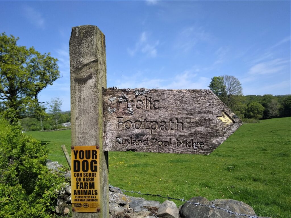
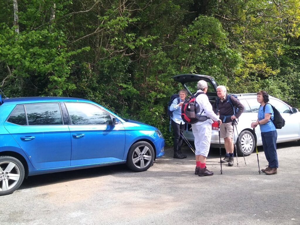
Our starting point is a layby adjacent to the Rusland Pool Hotel on the A590. Finding the hotel should be easy, and the layby is right next to it, but note that it’s safer to enter the layby from the end furthest from the hotel.
Satnav users can use the postcode for the Hotel: LA12 8AA, whilst the What-3-Words tag juices.apes.sedative will get you there. If paper maps are you preference, the grid reference is SD33008451.
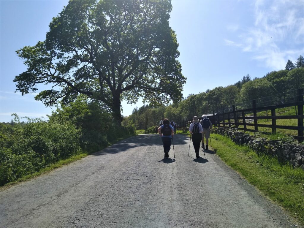
From the layby we head East past the front of the hotel and pick up a footpath separated from the busy A590 by a hedge. This takes us along the edge of a field toward the small river, known as Rusland Pool.
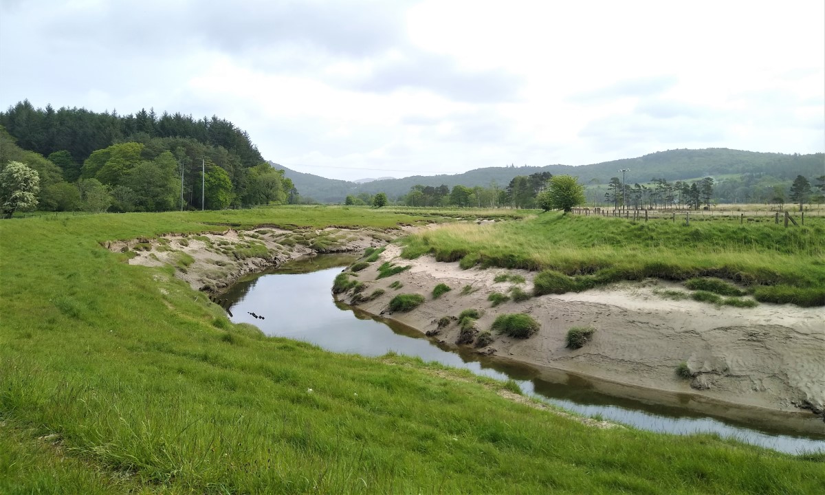
The source of Rusland Pool is high in Grizedale Forest Park, where several streams draining Monk Coniston Moor and Hawkshead Moor converge near Jack Gap Plantation. At this point the watercourse is known as Grizedale Beck and it takes a southerly course through Grizedale Forest Park. It then flows past the settlements of Grizedale and Satterthwaite merging with Farra Grain and Ashes Beck at Rusland, now taking its name from this settlement, before continuing its course through the Rusland Valley. Finally, it joins the estuarine River Leven at Pool Foot near where we meet it. In 2007, otters were found to have returned to Rusland Pool after many years absence.
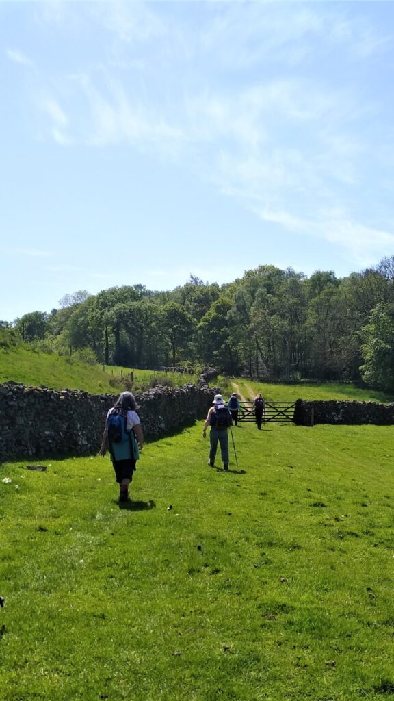
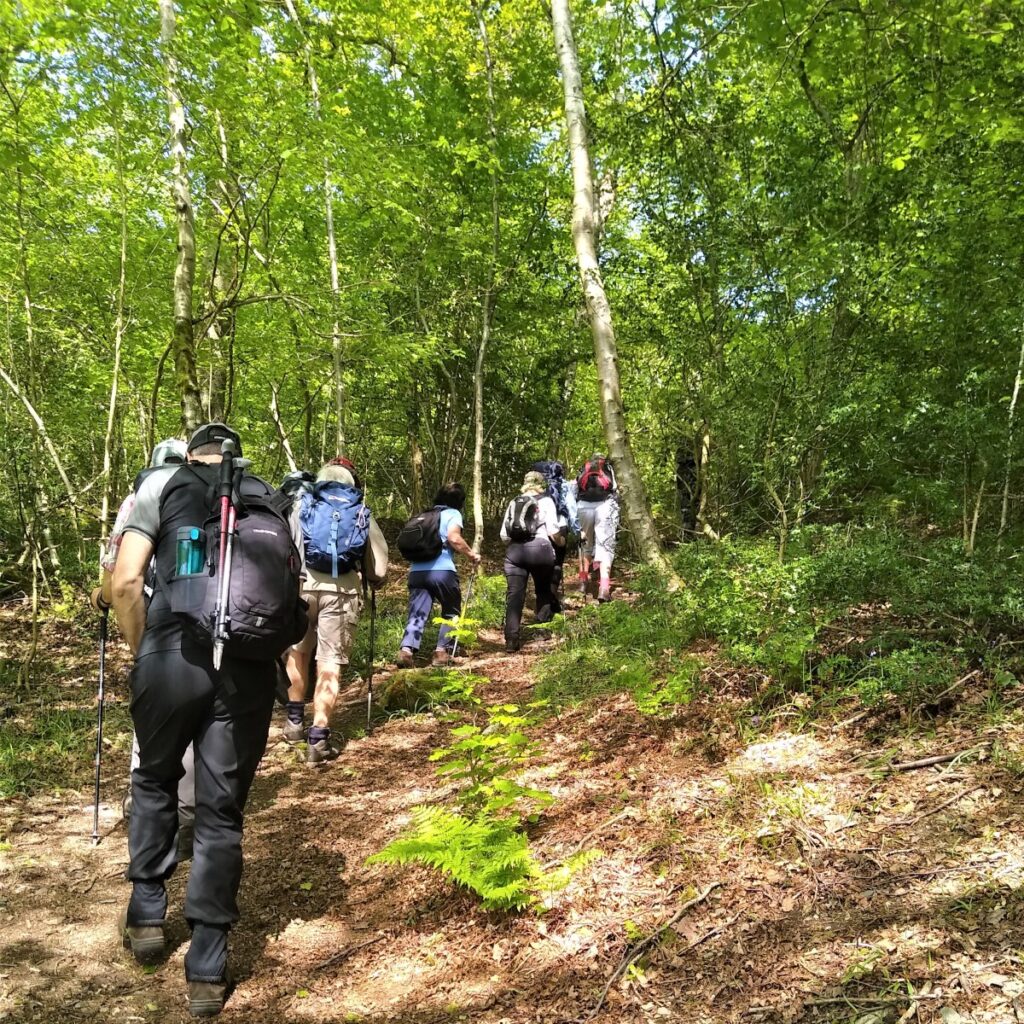
Our path now takes a sharp left turn to head upstream along one of the Greenwood Trails. There are 8 trails in the Greenwood Trails project all created between 2016 and 2019 by the Rusland Horizons Trust. Our walk is not one of the trails per se – although we do overlap with some parts of it.
The trails are well worth exploring, and excellent guidance leaflets are available from the Trust’s website at https://www.ruslandhorizons.org/project/the-greenwood-trail.aspx
The Trust does lots of great work in addition to the trails and their website is well worth a visit.
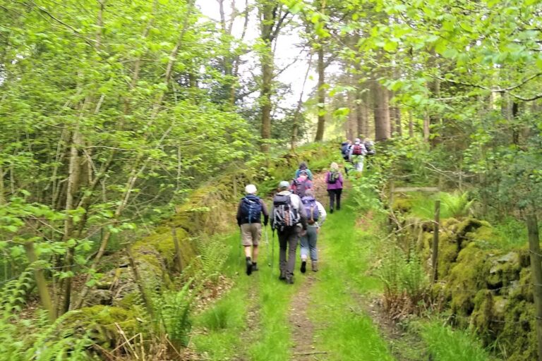
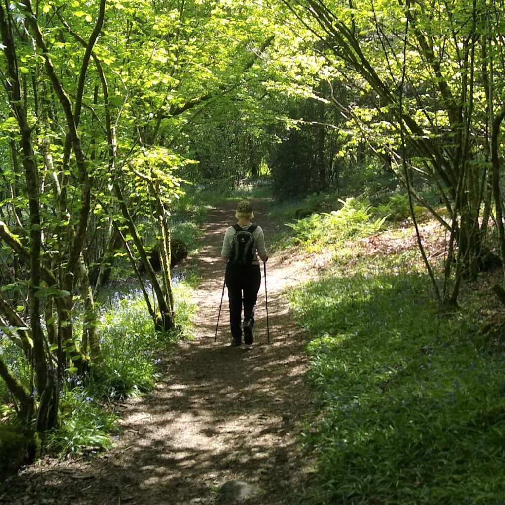
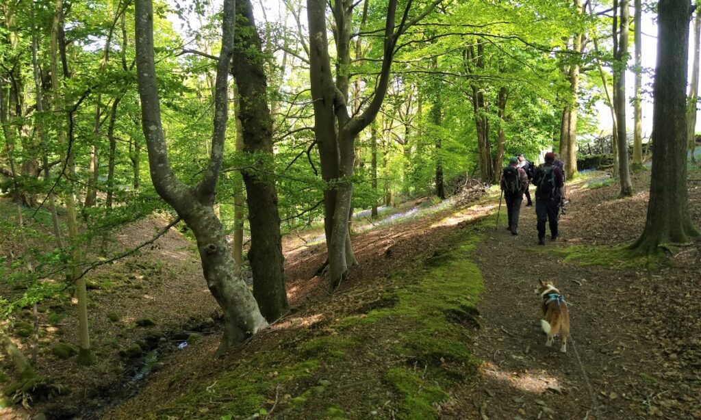
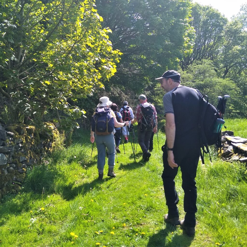
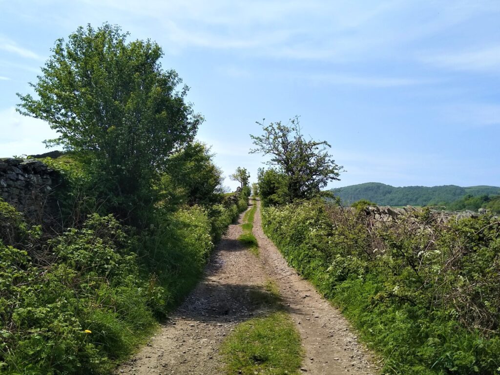
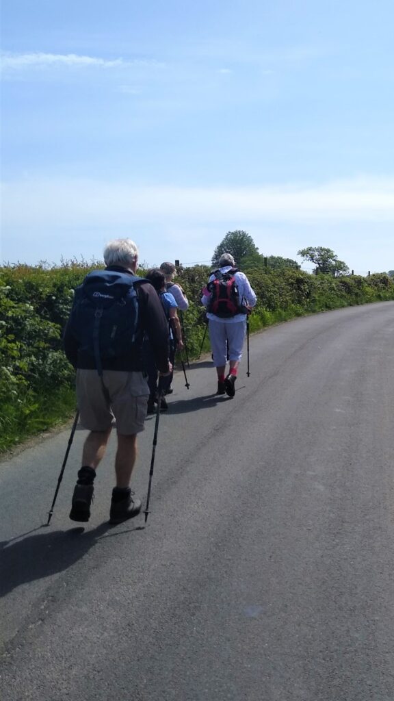
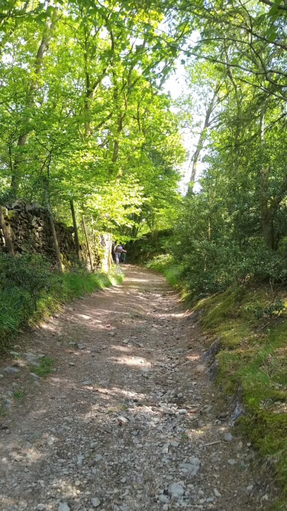
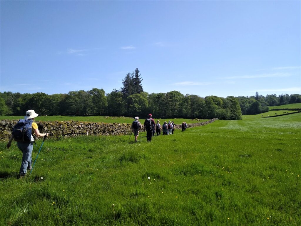
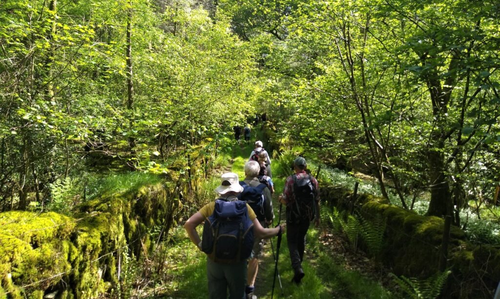
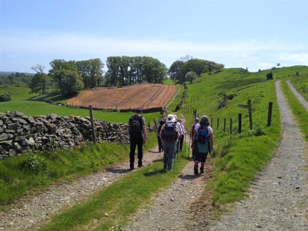
We follow the trail through flat and open pasture to the west of the Pool until we see the track enter woodland between stone walls. We head gently uphill, clambering under fallen trees resulting from Storm Arwen in November 2021; limited access and the shear number of trees damaged in the Northwest mean that this is likely to be an issue for a while to come.
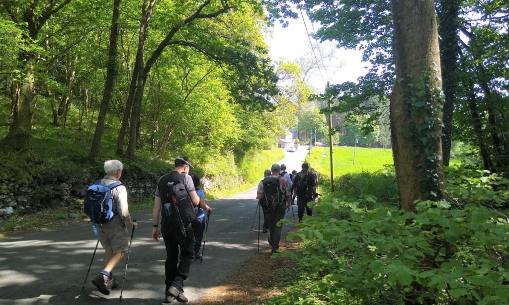
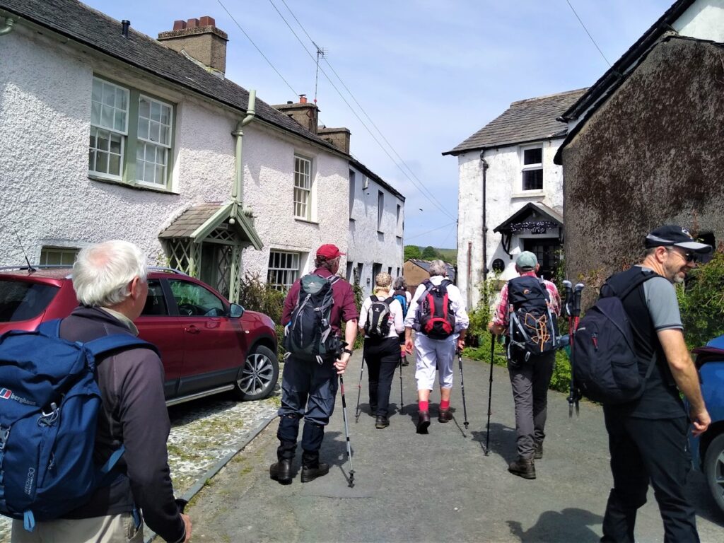
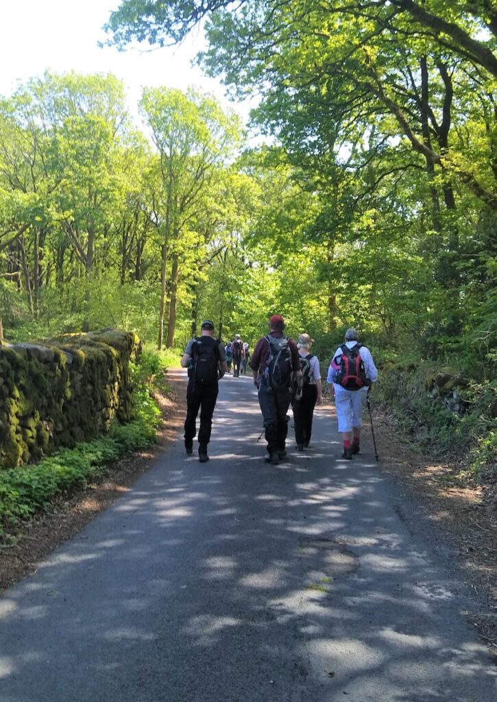
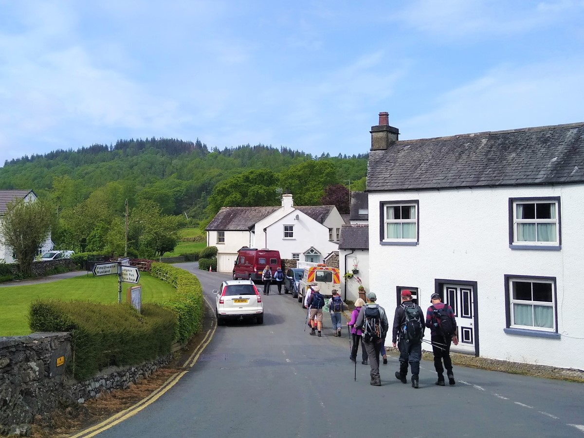
The track through the woodland soon emerges onto the road into Bouth (called The Causeway) where we turn left and head toward the village.
Bouth is a small community, and is proud to boast that Christine McVie (née Perfect), singer songwriter of Fleetwood Mac was born in the village, whilst the pub – the White Hart -featured in an ITV sitcom called “Not with a bang” which was set at the end of the world. On a sunny Saturday it looks less than apocalyptic.
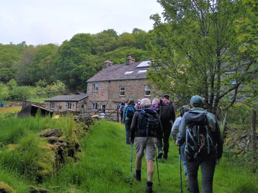
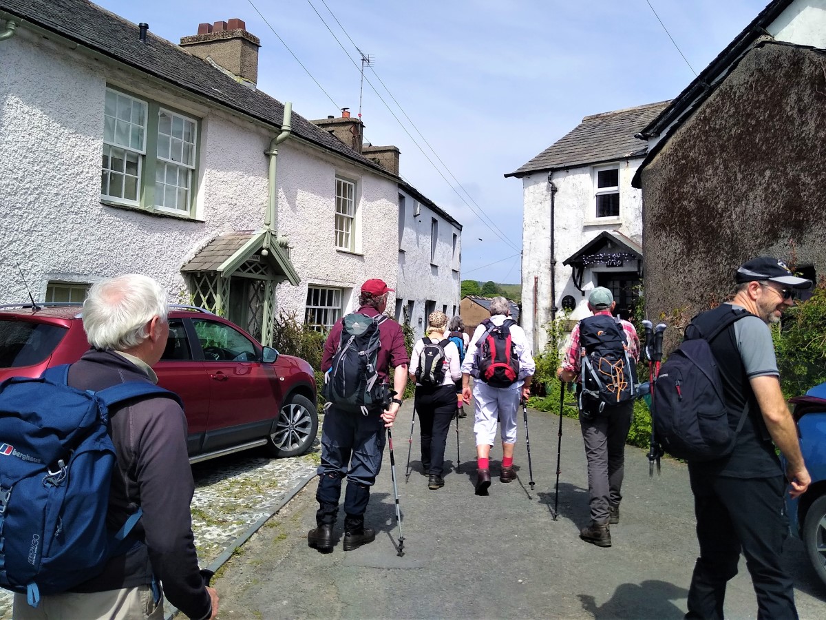
At Bouth, we keep the village green on our left and head out West toward Old Hall Farm, which we find on our right. Like many modern farms, Old Hall has diversified in recent years offering a good variety of “experience days” as well as farm produce.
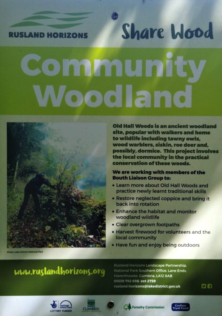
At the farm, we turn right and head up the lane – the farm is on our left, and the village across the fields on our right. Ahead of us is Old Hall Woods – one of the community woodland areas that form part of the Rusland Horizons Trust.
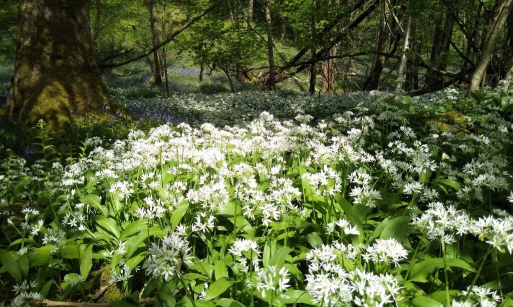
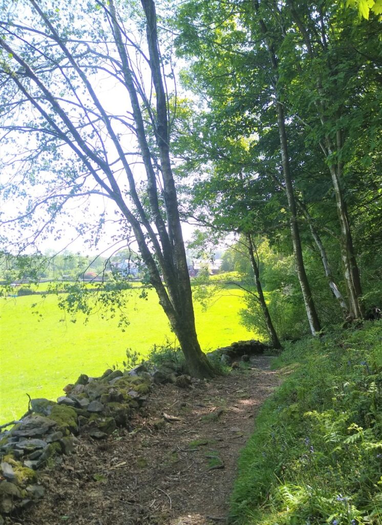
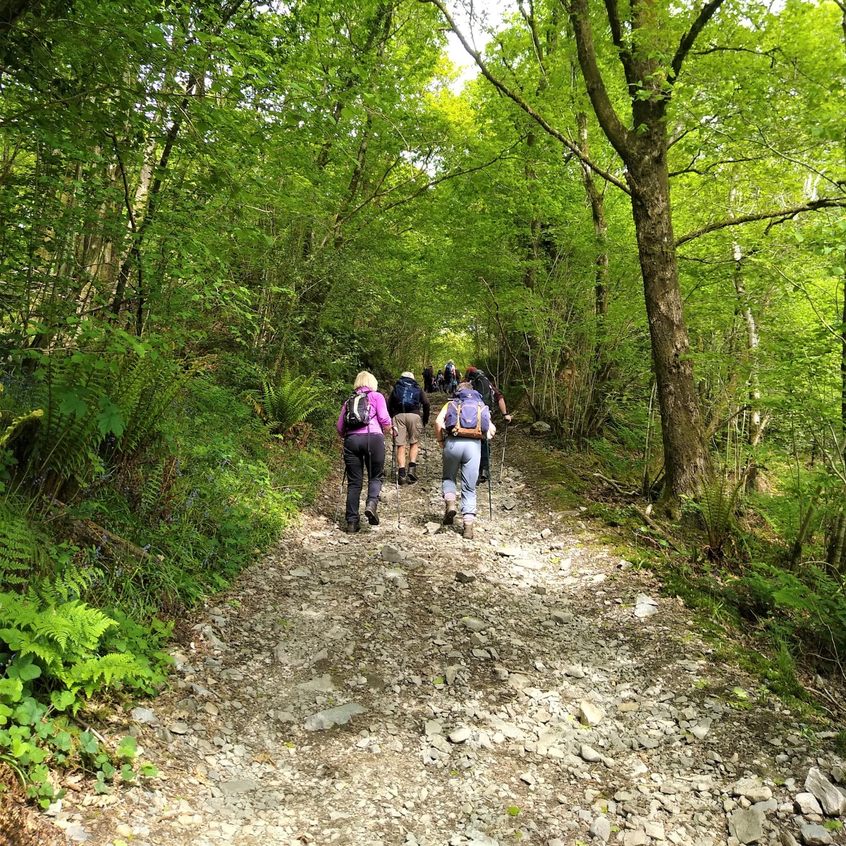
We enter the woodland on a track that starts to rise quite steeply. There is soon a fork in the path, with a smaller route available on the edge of the woods at the right. Ignore this – its part of our return route – so for now keep on the larger track and head into the woodlands.
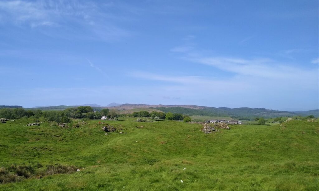
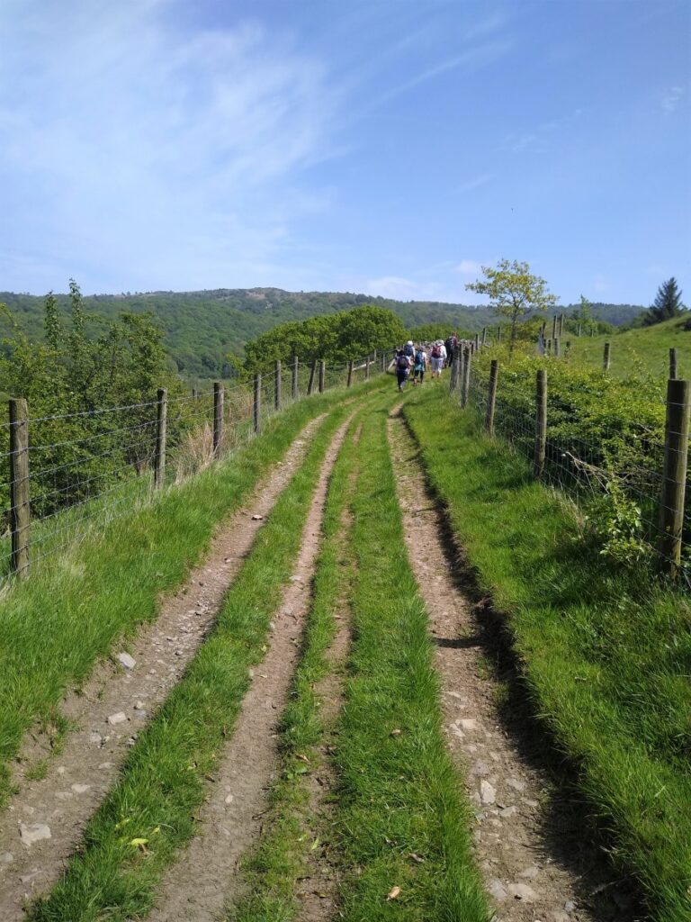
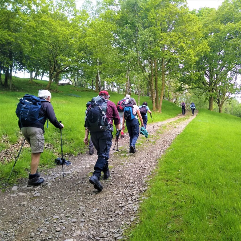
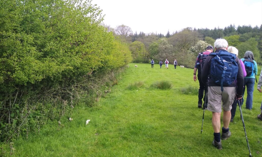
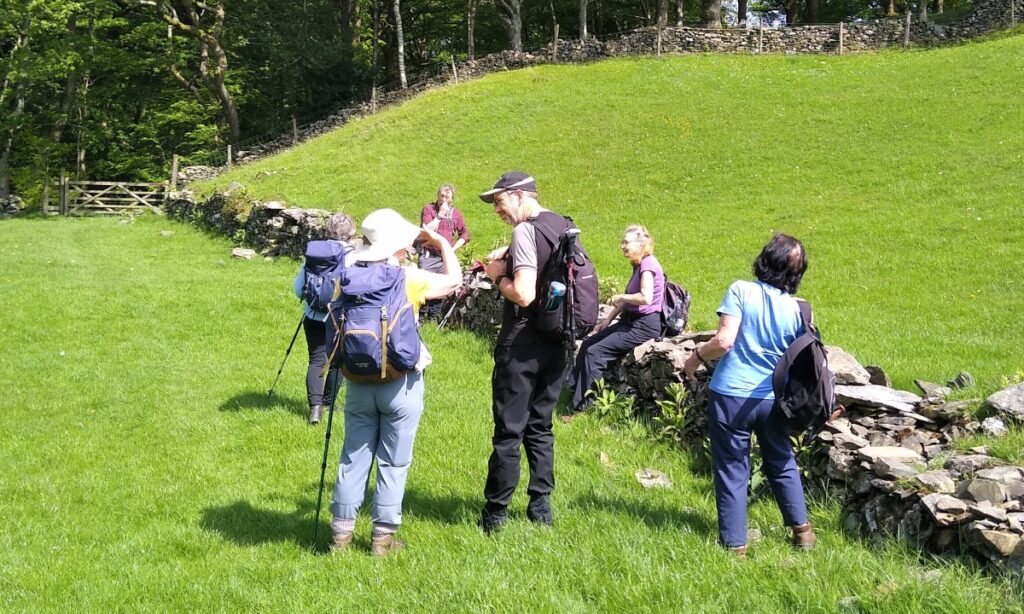
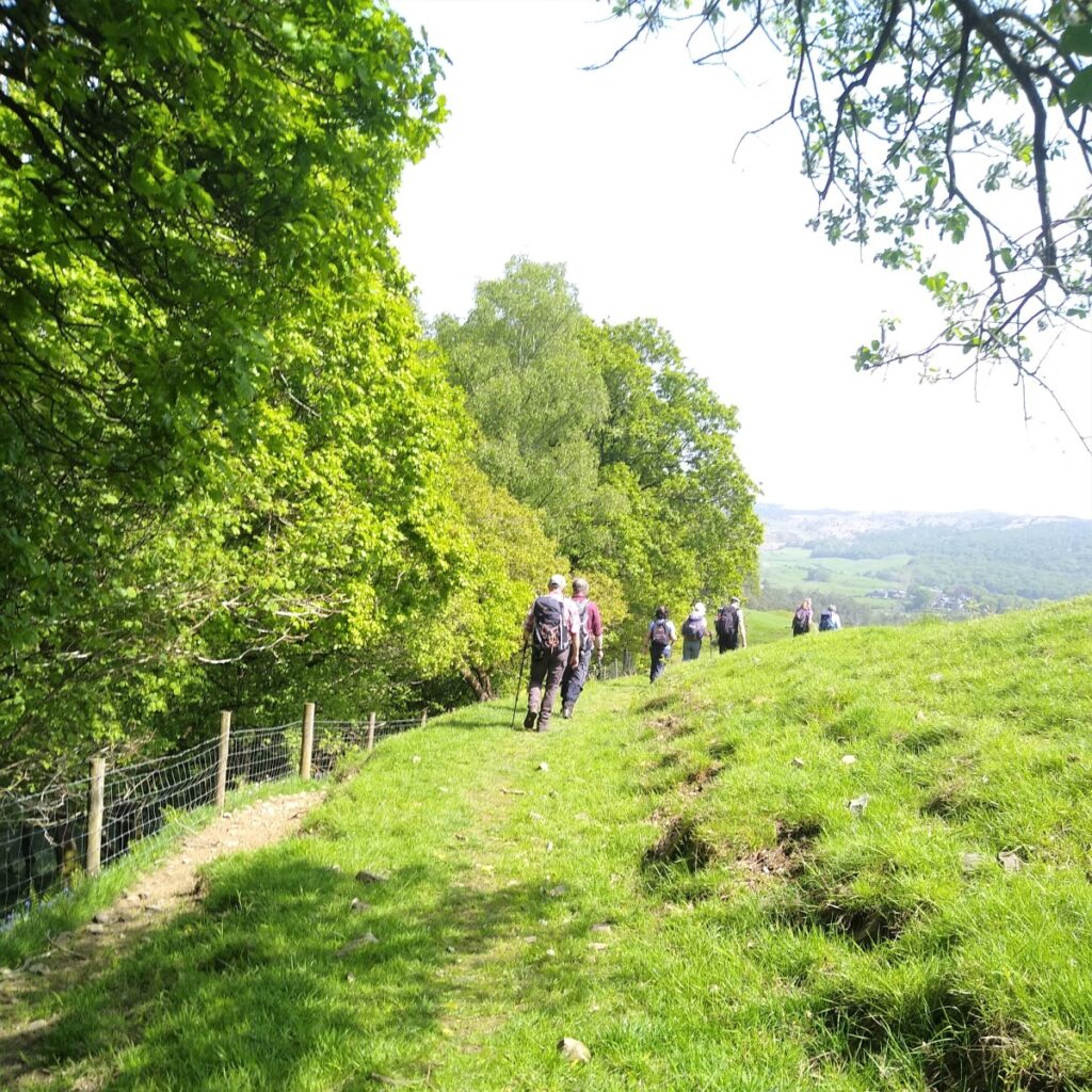
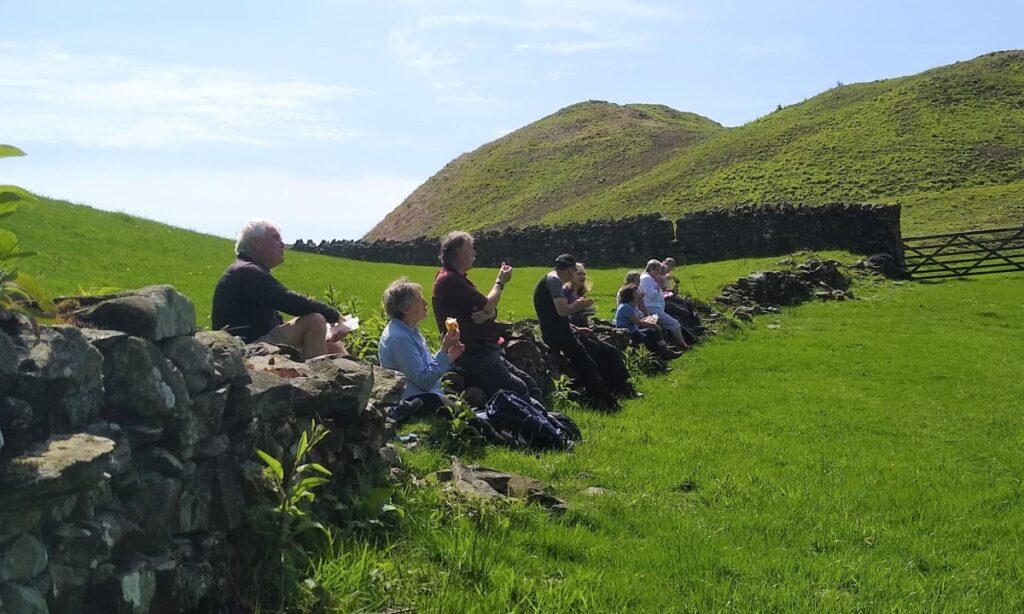
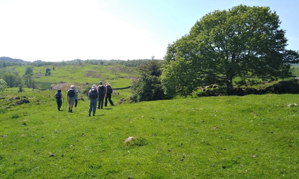
The woods are not large, and we soon find ourselves exiting onto more open land heading Northwest toward Colton, still on a clear track. Once the trees clear, and we continue to climb we start to get good views, and so this makes a good place to take a quick break.
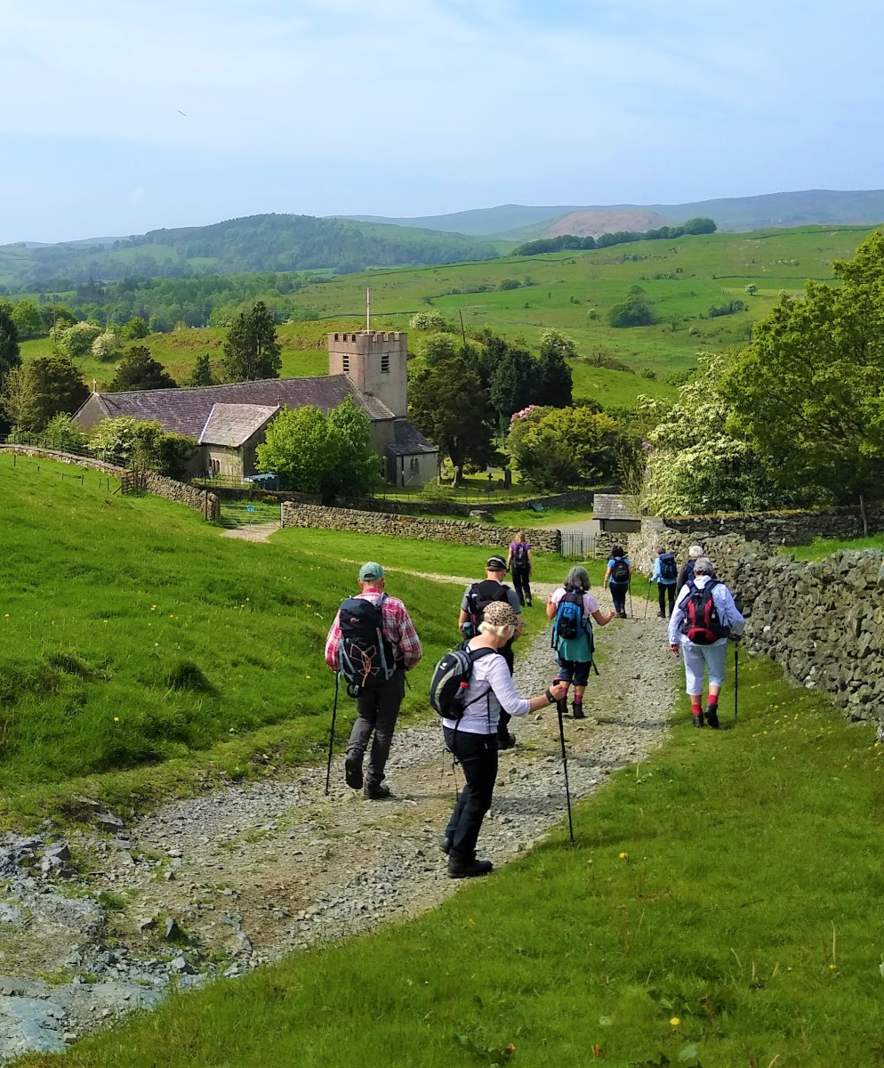
Our track now winds round to the left and meets another track also coming through the woods and heading toward the church at Colton. This other track was one of many “coffin roads” that can be found in this part of the world – tracks along which the dead were brought to the church for burial.

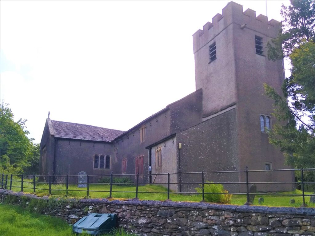
As we head down the coffin road, the church of Holy Trinity dating from 1575 comes into view. Along the lane beyond the church is Colton Village, where just about every building is Grade II listed.
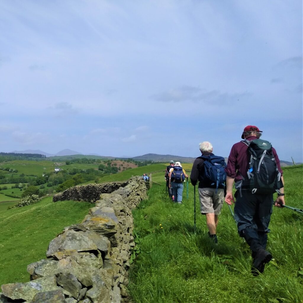
Our path heads off opposite the church – in effect we head along the contour lines part way up the valley sides whilst the road from Colton to Oxen Park sits in the valley bottom. Staying a little higher gives us great views West over to Sales Bank Wood, as well as being traffic free.
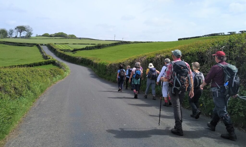
As we follow our path along the contours, the road rises slowly, and eventually we meet it, and turn right to follow the road into Oxen Park.
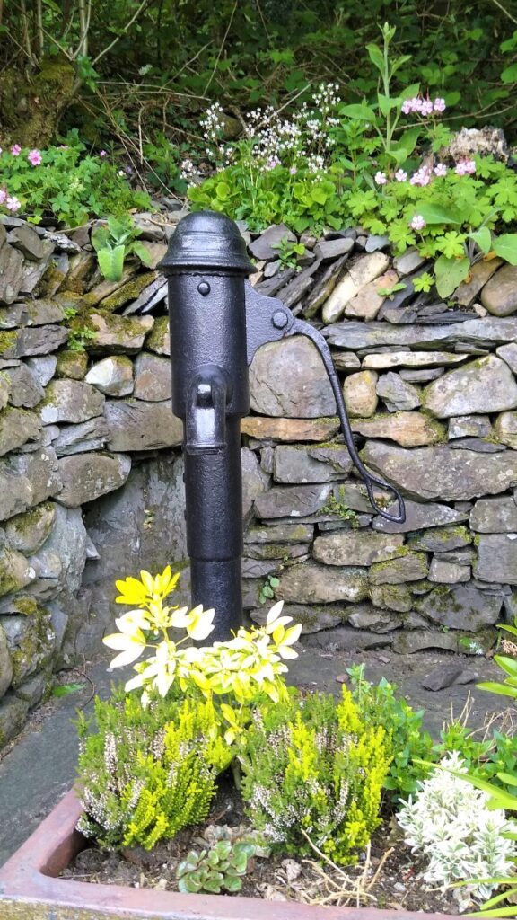
Although Oxen Park is a very small community, it is clearly cohesive with both the village water pump and the Reading room having been restored to excellent condition in recent years.
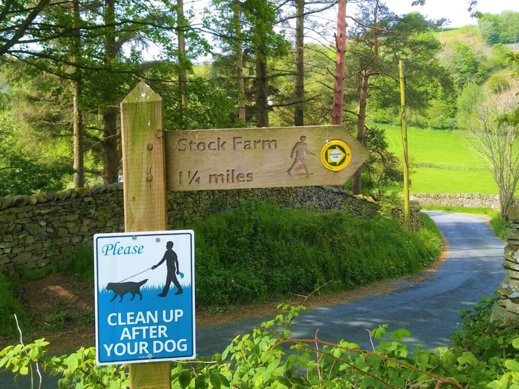
As we enter the village, we take a left between the whitewashed cottages and follow the road round to the reading Rooms, and just beyond those, we find a signpost (Stock Farm 1 ½ miles) to a track leaving the road on the right. This is our route over toward Whitestock Hall.
The path heads Northeast giving us a good view of the woodland in front of Whitestock Hall. There are in fact two pieces of woodland separated by a chase. The woods to the left are called Heald Brow, and those to the right Paddock Heald. The path rises now and joins a track where we turn right. This is occasionally used by 4 x 4 drivers, but we only stay on this lane for a short while – a public footpath leaves the lane on the right and heads over meadows with a hill know as Lone Riggs on the right.
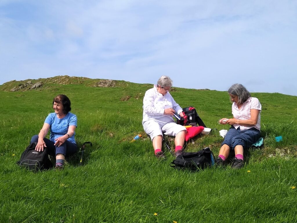
We soon find ourselves at the end of the ridge at Lone Rigg, and this secluded spot is a good place for lunch.
From here we press on Northeast through the edge of Paddock Heald and then downhill toward, but not as far as, Whitestock Hall.
We soon arrive at a small road where we turn right, and on the left we get our first glimpse of the Standing Stone or Menhir in the field opposite Paddock Heald.
The word menhir is derived from Brittonic languages: maen means men and hir or hîr, long.
They can be found individually as monoliths, or as part of a group of similar stones. Menhirs’ size can vary considerably, but they often taper toward the top. Their function to the neolithic cultures that erected them remains unexplained. This one does not appear to be part of any larger structure.
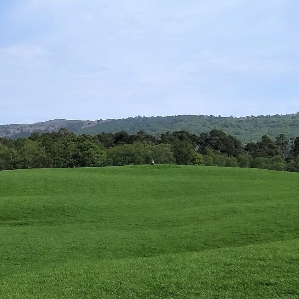
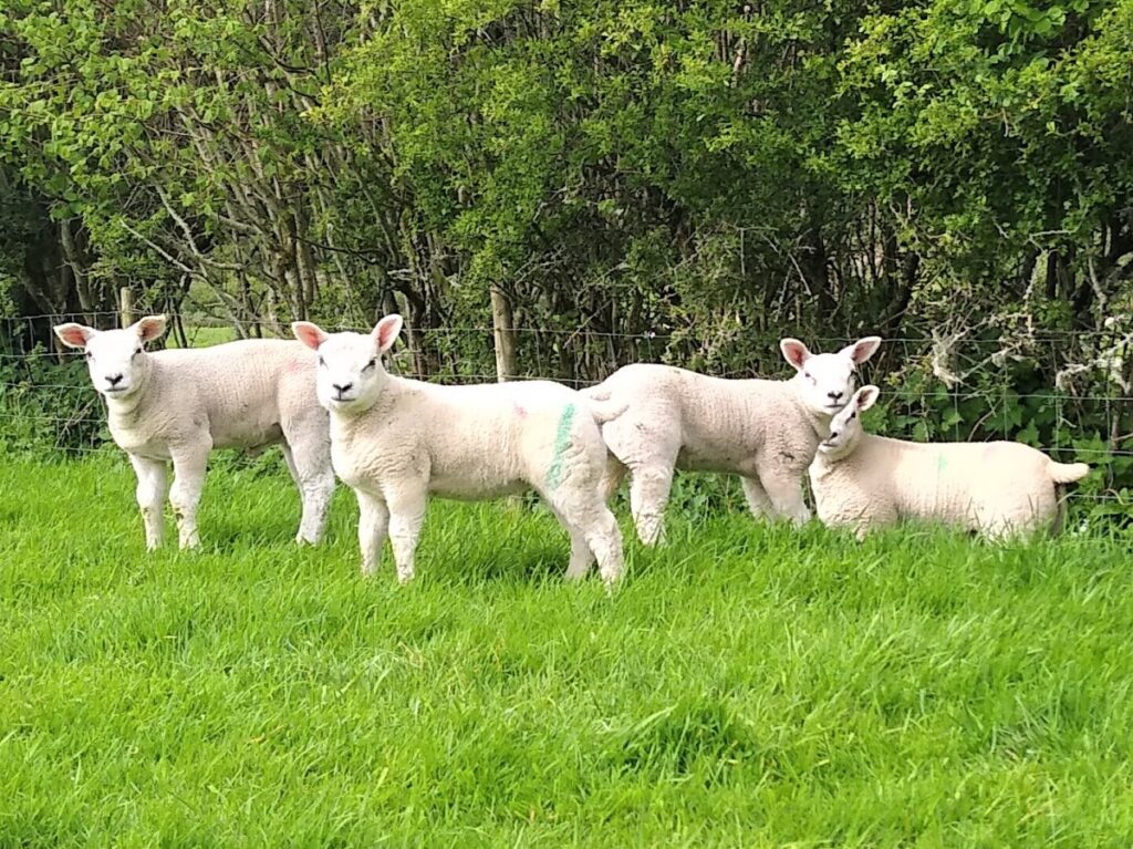
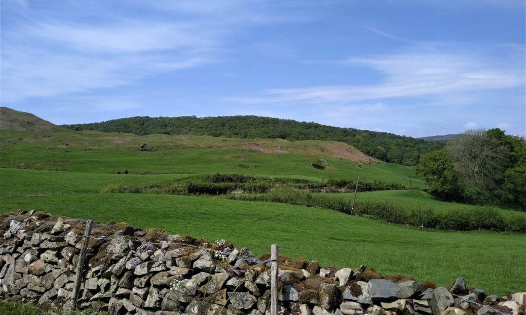
We follow the road for a short while now, heading south until we meet a Y-junction where we take the left hand fork which leads us round to farm buildings at Hulleter. As we approach the farm, we enjoy good views North over Hulleter Moss and Rusland Moss National Nature Reserve. The mosses, which took 3,000 years to form, were damaged years ago by peat cutting and drainage. Current restoration work includes blocking drainage ditches to create favourable conditions for the sphagnum moss and felling the trees to reduce loss of water. There are boardwalk routes through the moss, which have been part of Bentham Footpath Group walks in recent years. They are well worth exploring.
The track continues through the farm and heads out to the South, where we find another forked junction. We take left again, following a sign for Hay Bridge, this takes us round to the left and then down to a stream which we cross.
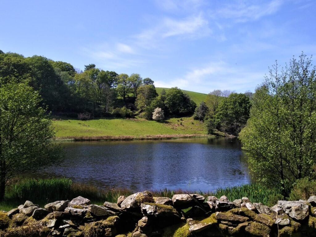
We walk up though a small area of woodland and follow the track as it curves sharply right to head into Hay Bridge Nature reserve along a public road. The nature reserve itself is privately owned, and only accessible to members. Details of the reserve and how to obtain membership can be found at http://www.haybridgereserve.org.uk/
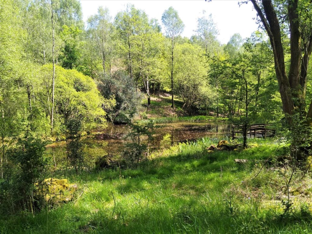
Clearly visible from the road through the reserve are two man made tarns. The first one we arrive at is the larger and is referred to as White Moss Tarn, this sits to the right of the road. Further on, and on the left is the smaller Black Beck Tarn.
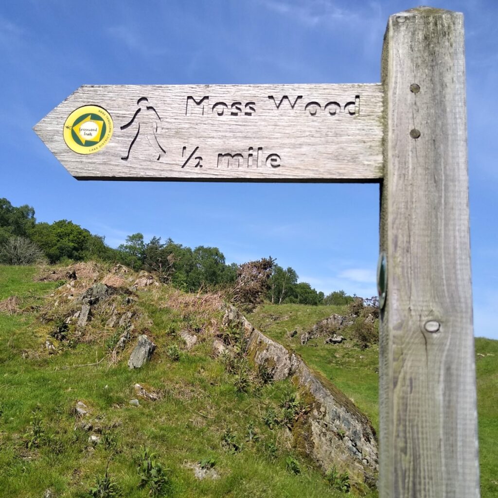
Not long after we have passed the second tarn, we see a path leaving the road on the right. This is signposted to Moss Wood (1/2 mile) and this takes us up a steepish hill before ascending to a ford over small stream.
From the stream we follow the line of a drystone wall over to a minor road adjacent to Moss Wood.
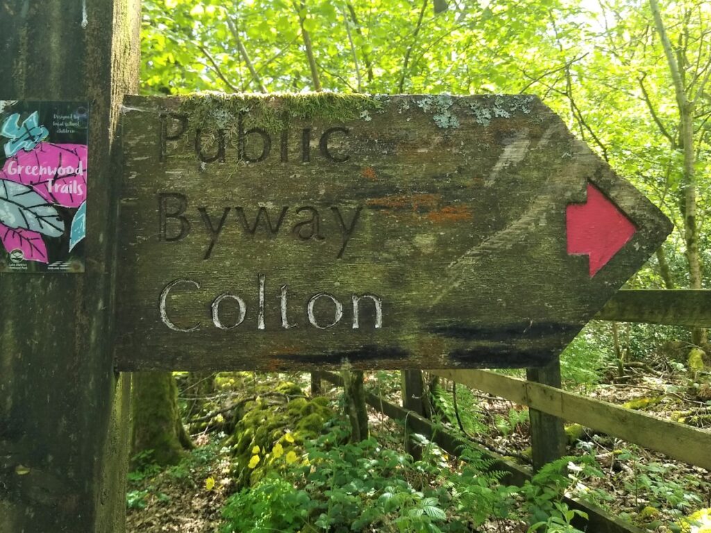
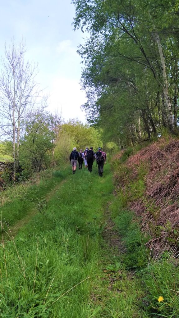
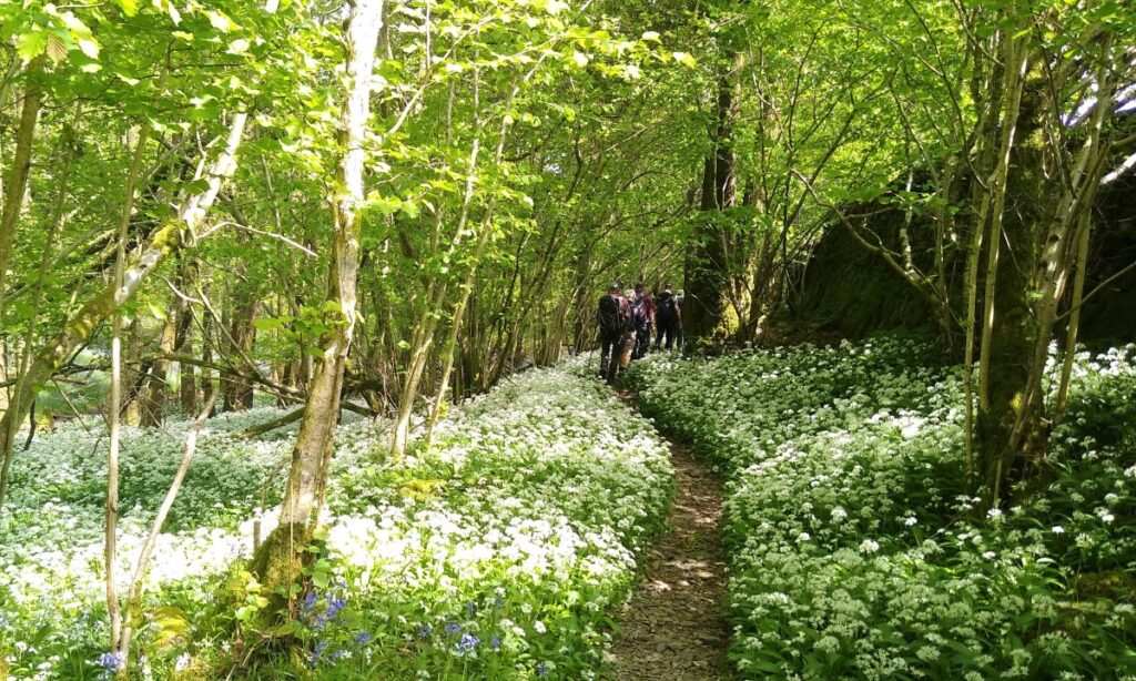
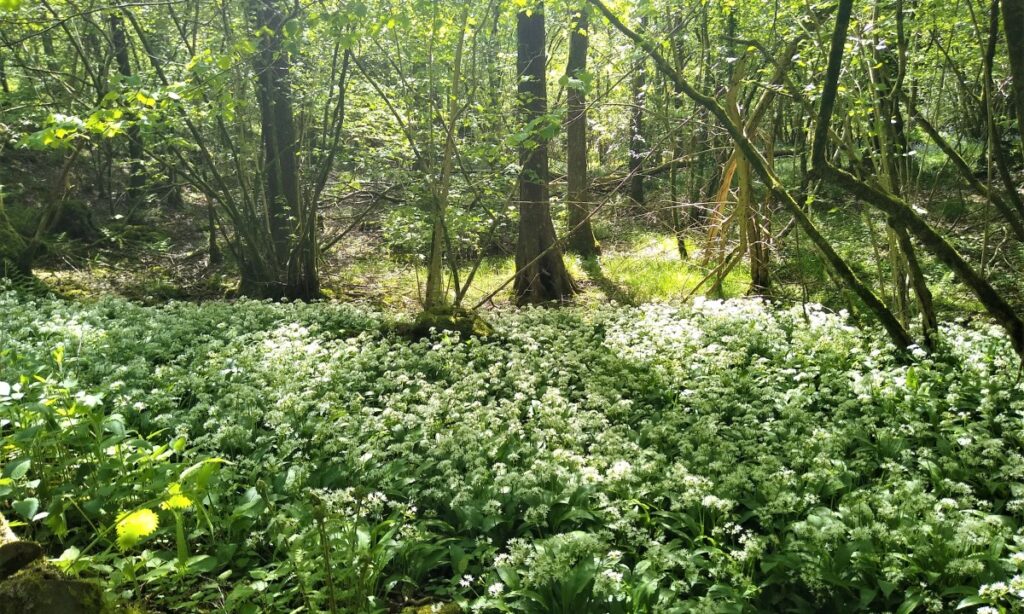
We turn left along the road and follow it for a while, until we see a signpost on the right to a public Byway to Colton – this is the other end of the coffin road that we met earlier. We don’t follow the coffin road far though; in fact we turn off on the left along a smaller footpath almost immediately. This takes us along the edge of Moss Wood down to Old Hall farm which we passed much earlier in the walk.
When we get to the farm, we do not retrace our earlier route – instead we turn right and pass the farm heading toward Ashes Intake. This is accessed via a footpath leaving the road on the left not long after the farm. The path heads across a field and then down to a stream where we have a choice of routes.
The obvious route is straight ahead through Ashes Intake to find our path along Rusland Pool. However, at the time of our walk this was impassable due to storm damage, and so we took a right turn to walk up through the wood back to the Causeway at Bouth.
From there we turn right and then almost immediately leave the road on the right down the lane, reversing our steps from the start of the walk to return to the cars.
The detour means that the distance for the whole walk just tips over our threshold for a challenging walk. Despite this the walk is generally moderate, and there are no steep or difficult climbs.
- Total distance 15.8 km (9.8 miles)
- Total Ascent 665 m
- Challenging walk