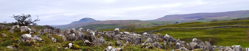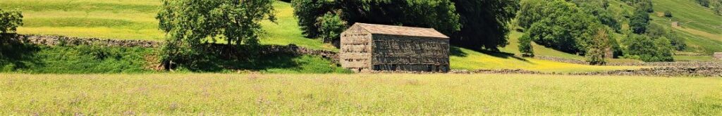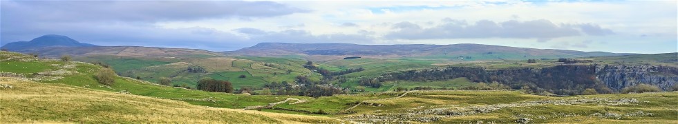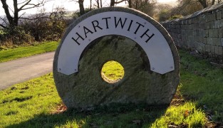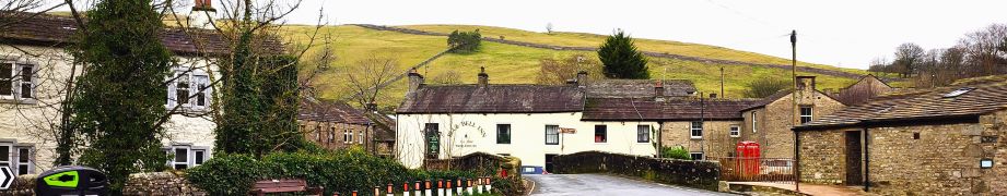
Kettlewell to Starbotton
6.4 miles | 10.3 km | 335 m Ascent | 8.1 Naismith miles | Sandra Craggs
Kettlewell is one of the “Honey pot” villages in the Yorkshire Dales, and so during the peak of the tourist season, it gets rather crowded – and justifiably so – it’s a lovely place.
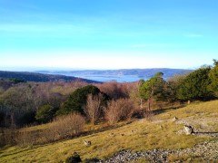
However, if you pick a glowering day during February when the weather forecast is gloomy, not only will you have the pick of the parking places, but all the paths will be deserted and if the weather proves to be better than expected you will still get some great views.
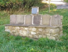
This walk takes us from Kettlewell up the Top Mere Road to Cam Head and then down Starbotton Cam Road into Starbotton. We then return along a riverside path enjoying typical Upper Wharfedale views. Although we class this walk as easy, based on the distance and total ascent, be aware that the first section is steep, though there are a couple of benches to take a rest.
Kettlewell to Starbotton Read More »