Jump to . . .Step by Step | OS Map | Downloads | Gallery | Fly through
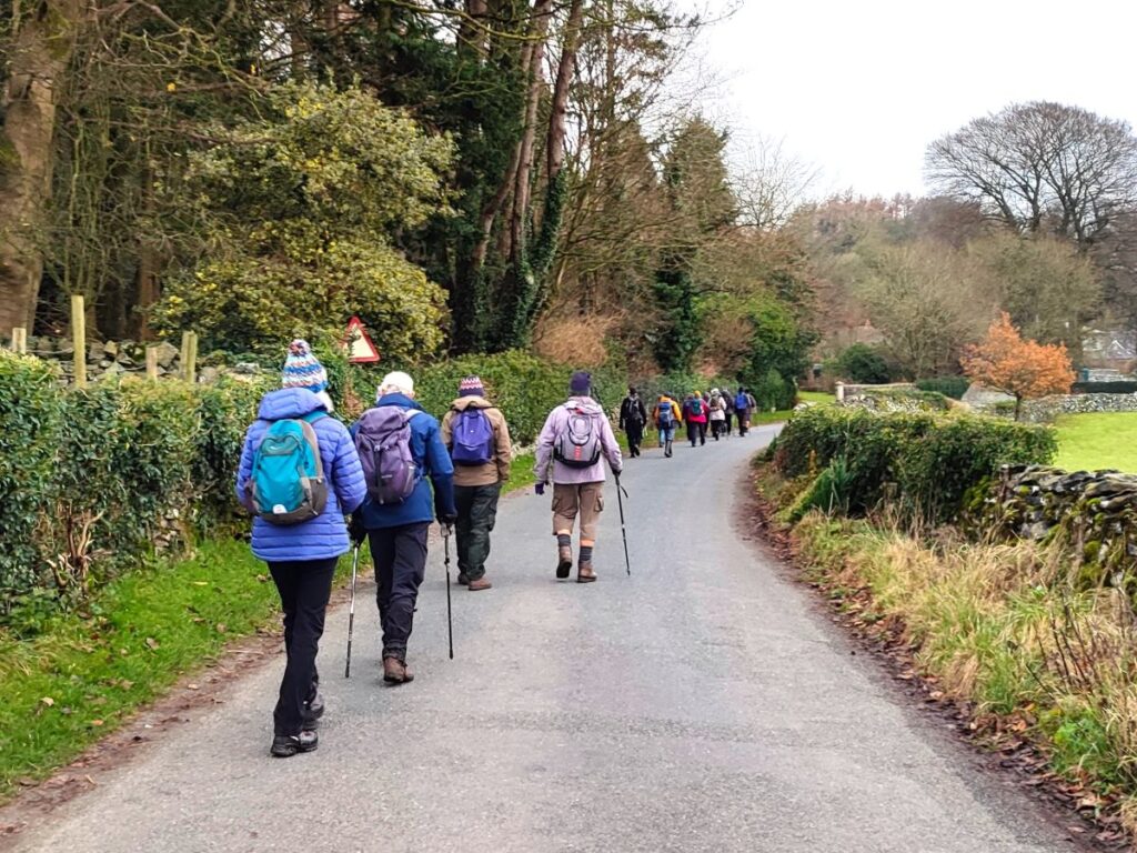
In recent walks we have travelled further afield and enjoyed some stunning scenery. Sometimes though, it’s nice to remind ourselves just how beautiful our own area is – and this walk is a perfect way to do that.
This easy route is a shortened version of our earlier Giggleswick Scar walk and makes an ideal half day stroll. We start from The Mains in Settle and then head up to Stackhouse via Lord’s Wood. We then take the Pennine Journey path round the back of the scar, as if heading to Feizor, but before we get that far we find a fingerpost which indicates the path returning to the front of Giggleswick Scar.
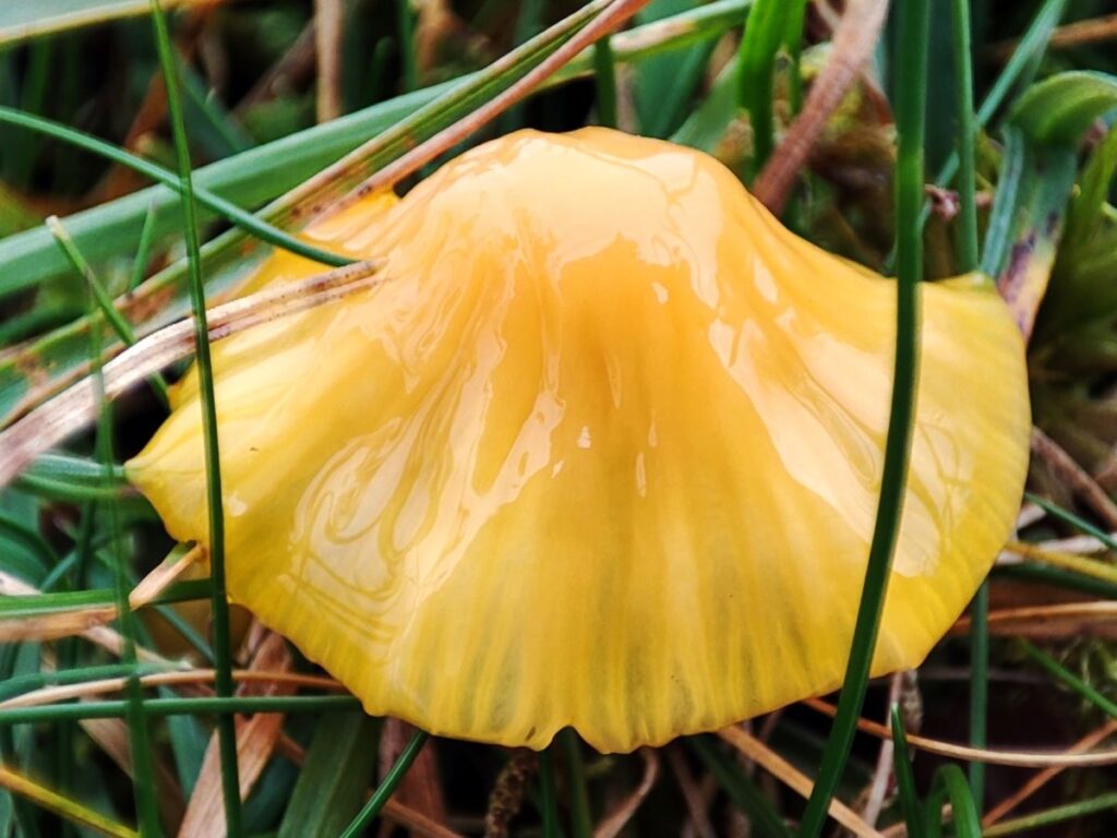
The top edge of the scar gives us great views to the south and lots of interesting limestone features including caves and cairns, before we arrive at the Schoolboy Tower. We then circle round the now disused quarry and then wrap things up by heading back down to Lord’s Wood and our cars. Two added benefits for this walk are that starting from Settle makes it accessible by Public Transport, and adding Elaine’s Tea Rooms would be an easy (2km) extension.
- Total distance 8.6 km (5.4 miles)
- Total ascent 249 m
- Easy walk
Step-by-Step

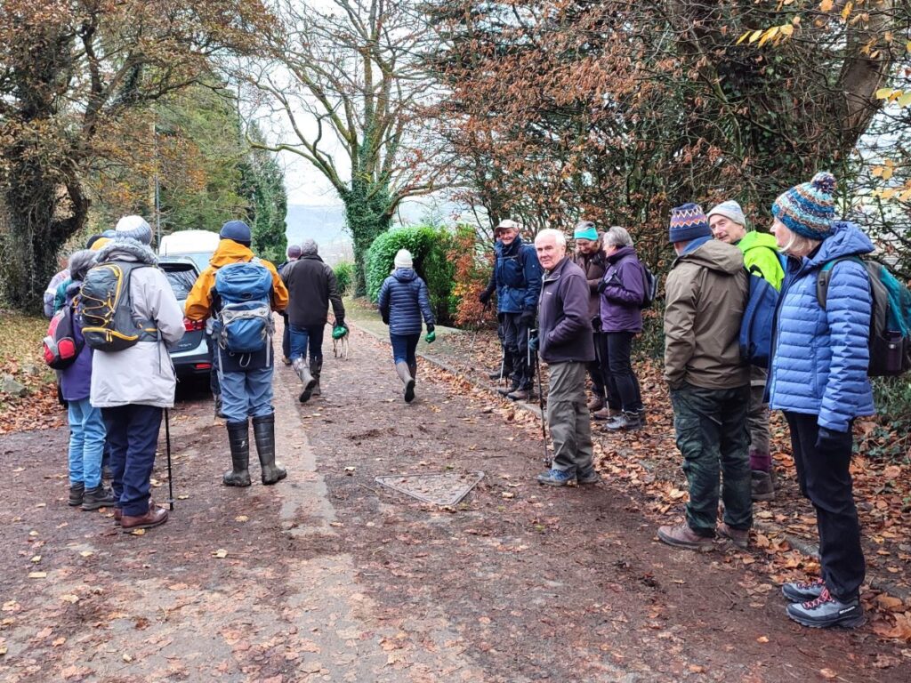
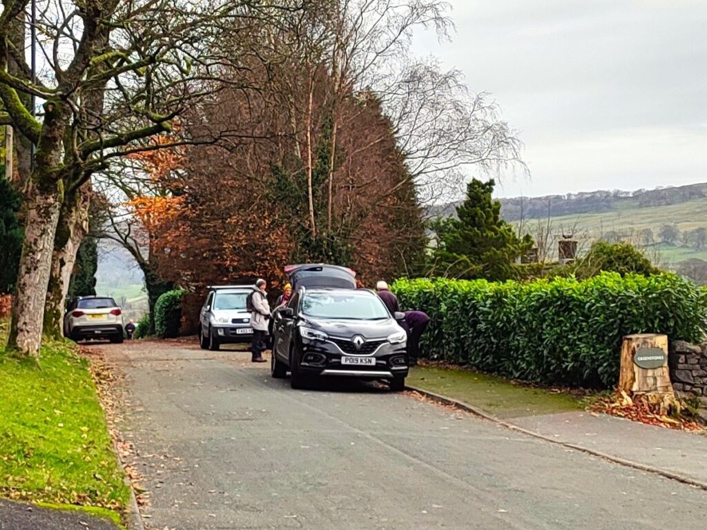
We start from Settle – and given that the outbound route is via Lords Wood, one option is to park on the road at the end of The Mains – please be considerate to residents and leave access to driveways clear.
If you are using Satnav to get to the start of the walk, then the address is The Mains, Settle, BD24 9JF.
The What-3-Words tag is dustbin.sprouted.jots and the corresponding OS grid reference is SD81316439. Don’t forget that The Mains is just a short stroll from Settle town centre so any town centre parking, or public transport are also good options, and lend themselves to combining this walk with time visiting Settle.
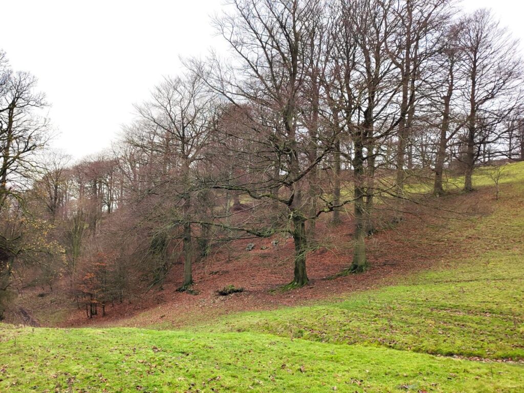
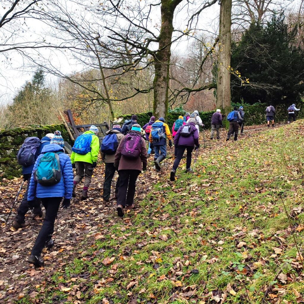
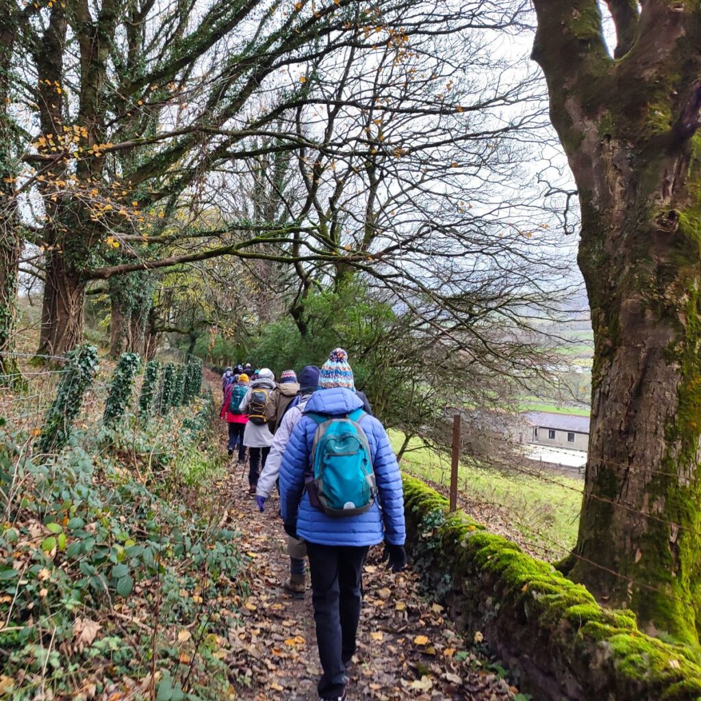
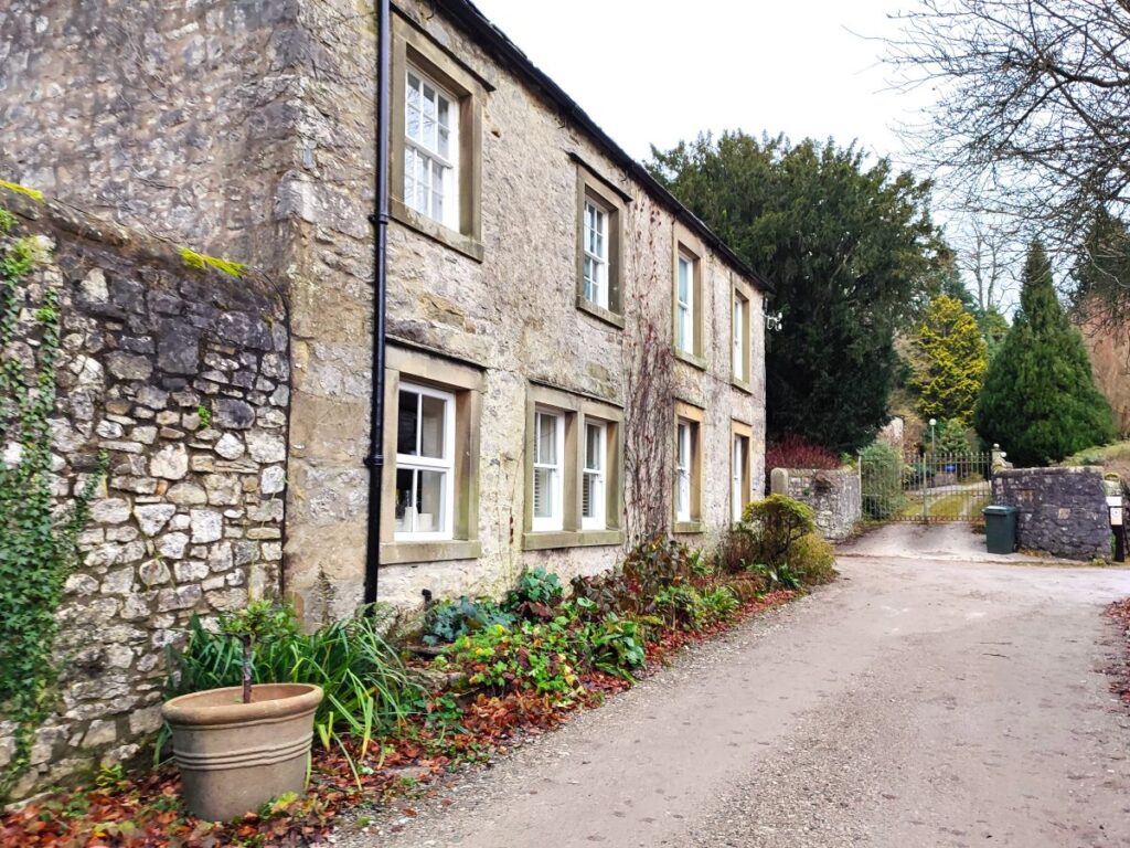
We start by heading up The Mains toward the woodland at the far end – the fact that the last large house on the left is called the Woodlands is a good clue that we are heading in the right direction: Woodlands was built in 1905 as a gentlemen’s country residence. The enchanting Lord’s Wood borders the house to the west and there are spectacular views from the terrace over the Ribble Valley to the east. In recent time, the house has been converted into a ten bedroom holiday let.
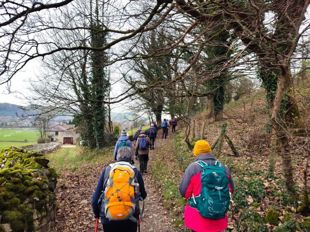
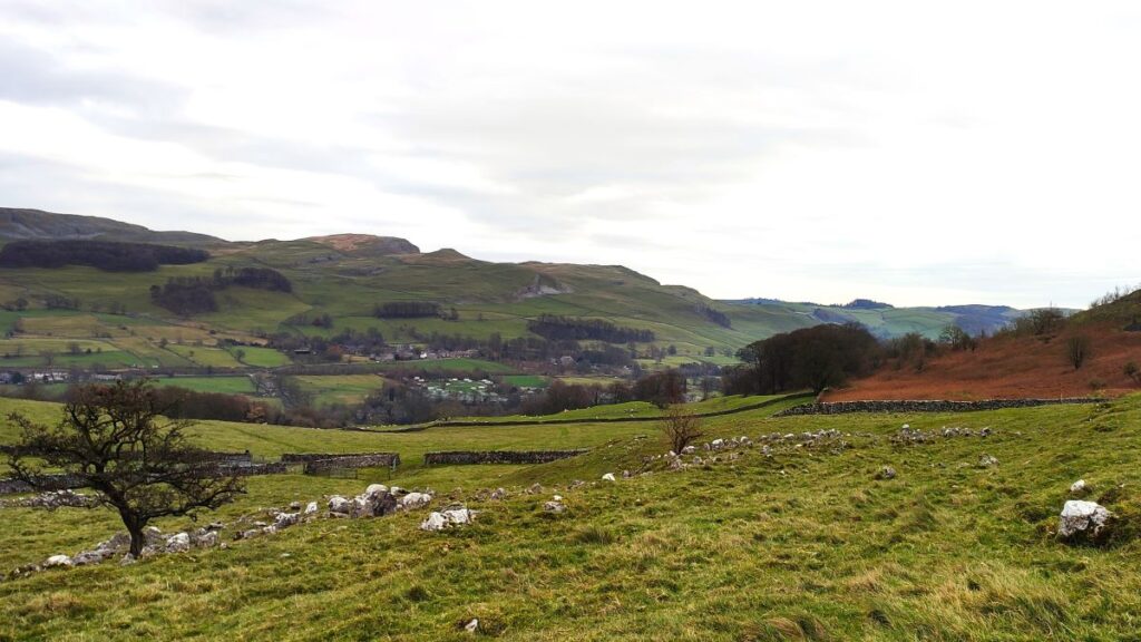
At Woodlands, we pick up a clear path that leads along the bottom edge of Lords Wood following the Ribble valley upstream. At this stage the walking is easy – the path is wide, and we are tracking round the contours. Our next landmark is a gated stile through the right hand wall which takes us into a field and onto a path that leads down gently toward the road up to Little Stainforth. There are a couple more stiles to negotiate, but the route remains clear, and well-walked so navigation will not be a problem. If in doubt though, head North and come down toward Stainforth Lane with the path continuing within the fields to the left hand side of the road.

We soon arrive at the edge of a patch of woodland and have a choice: There is a path rising up through the woodland slightly to the left or we can head right and on to the road for just 100m so that we can explore Stackhouse and some of the lovely old houses there. We took the road option – and found it to be quiet and safe, but if you prefer to stay away from the road, the two choices come back together just above Stackhouse no more than 200m up the woodland path.
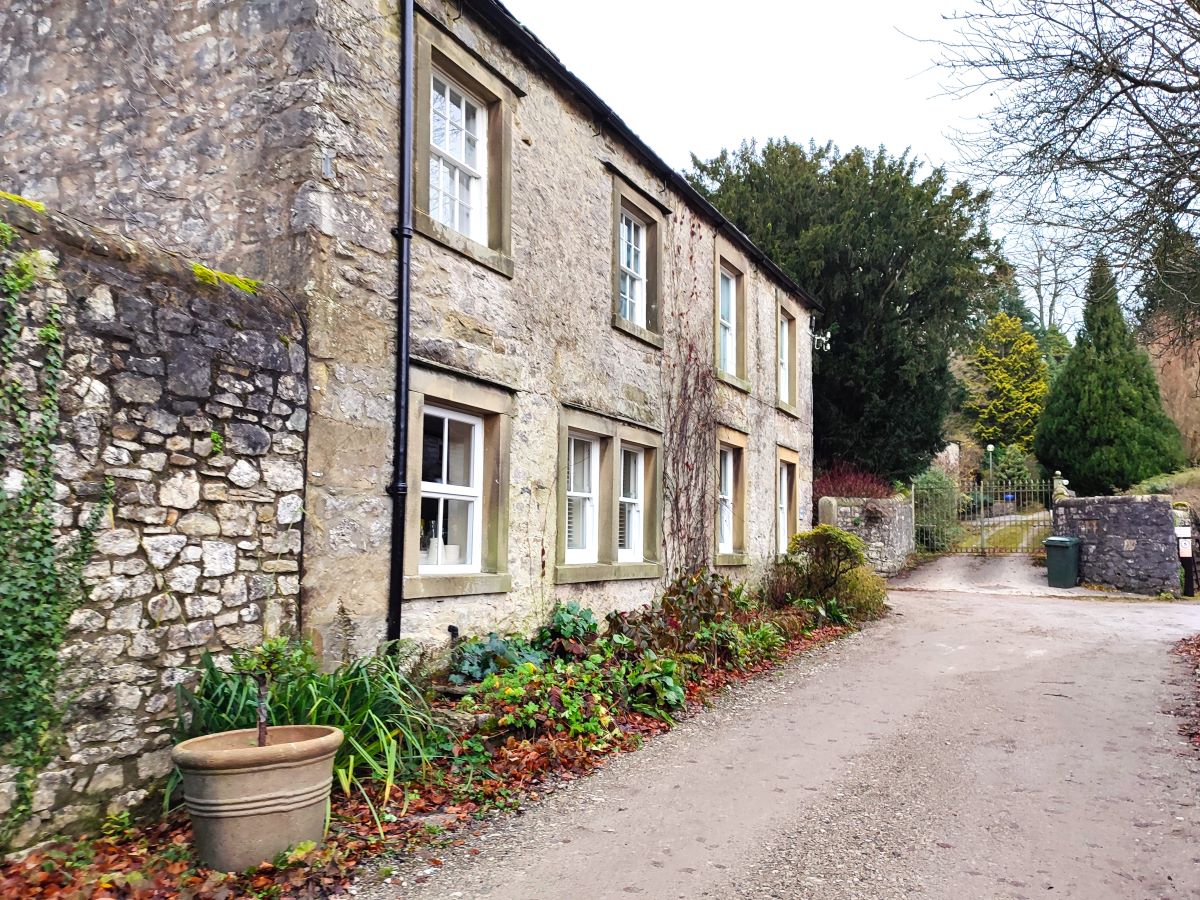
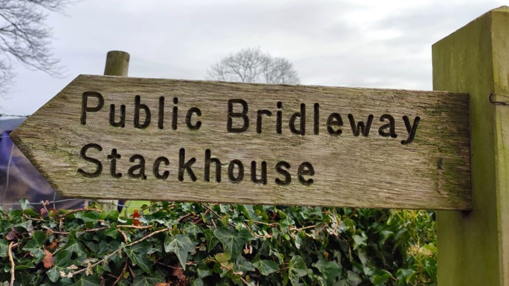
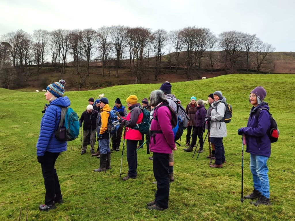
So, we take the road north until it starts to veer right – at which point we take the track on the left (signposted Bridleway Stackhouse) and walk up toward the houses in Stackhouse, a mixture of grand country residences and smaller cottages built for workers at the Cotton Mills in Langcliffe Mill (see our Stainforth walk for more detail on that).
Stackhouse as a settlement is notably ancient – it was mentioned in the Domesday Book (and was therefore present before 1086), where the spelling was Stacuse. In the intervening years various spellings have been used – all variants of the old English words that mean a place for or near the hay ricks. This was always a site where agriculture was important, and there is evidence of habitation in this area long before the Domesday Book – to the north west of the village, following the route of our footpath to Feizor, several Bronze Age ring cairns are located on the moor. One was excavated in the 19th century revealing human bones and ivory discs.
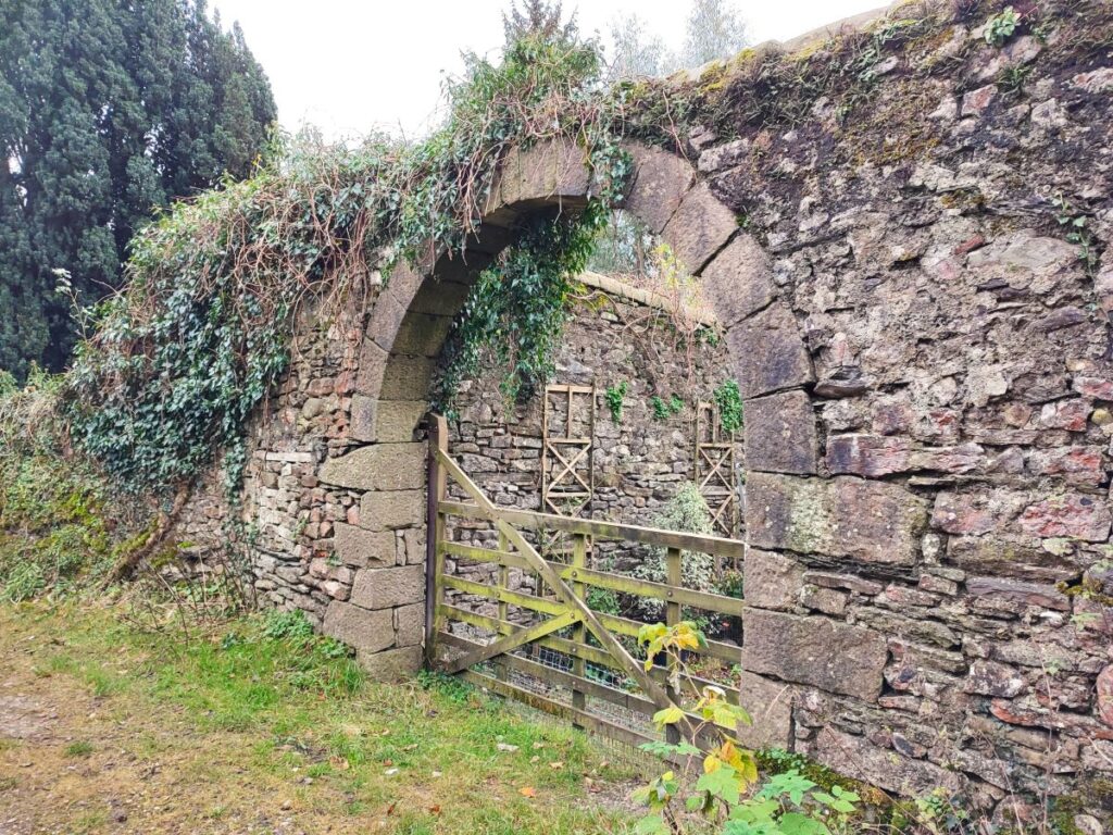
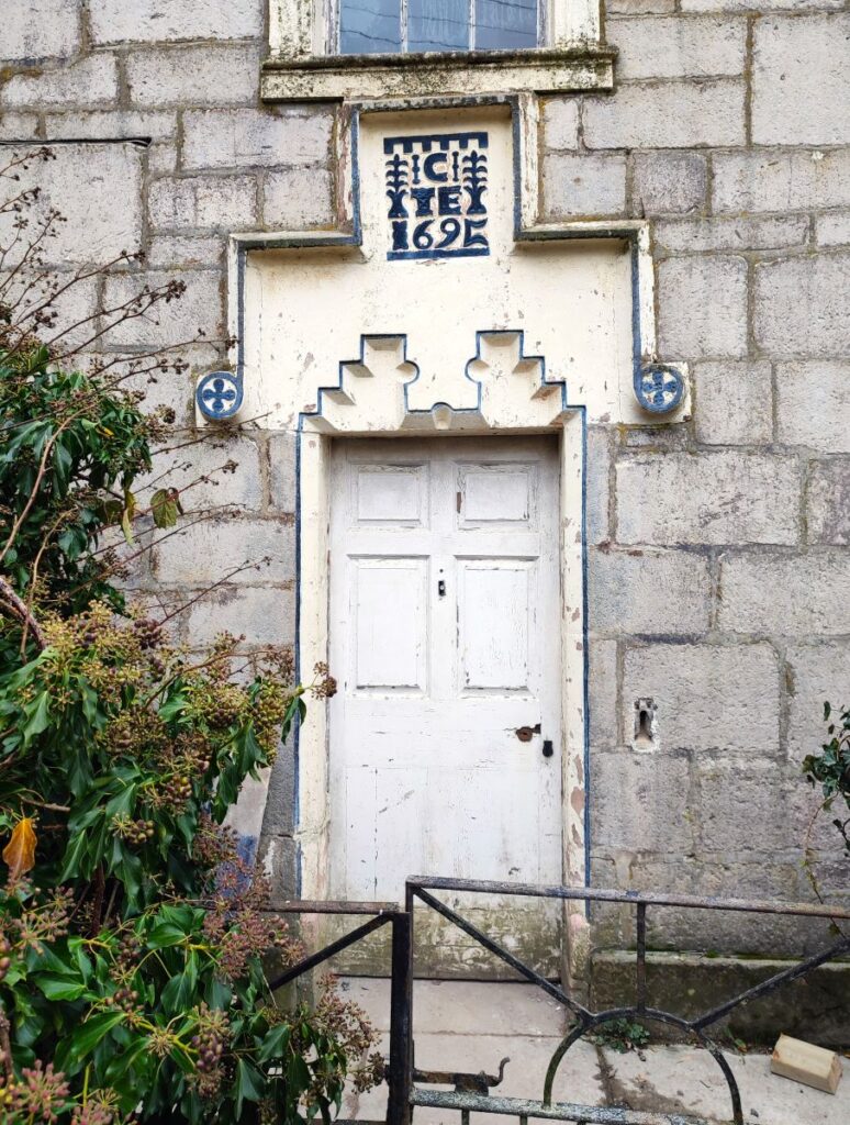
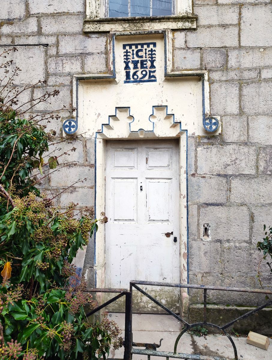
As we approach the cottages pictured above the road swings sharply to the right and we follow it round, pass in front of one of the grander houses and then head left and back toward the woodland – as we climb up here we pass this enchanting doorway, and then loop round to pass a large arched rear entrance to the larger house, before coming up to a clearing at the north end of the woodland where we meet the alternate path mentioned earlier.
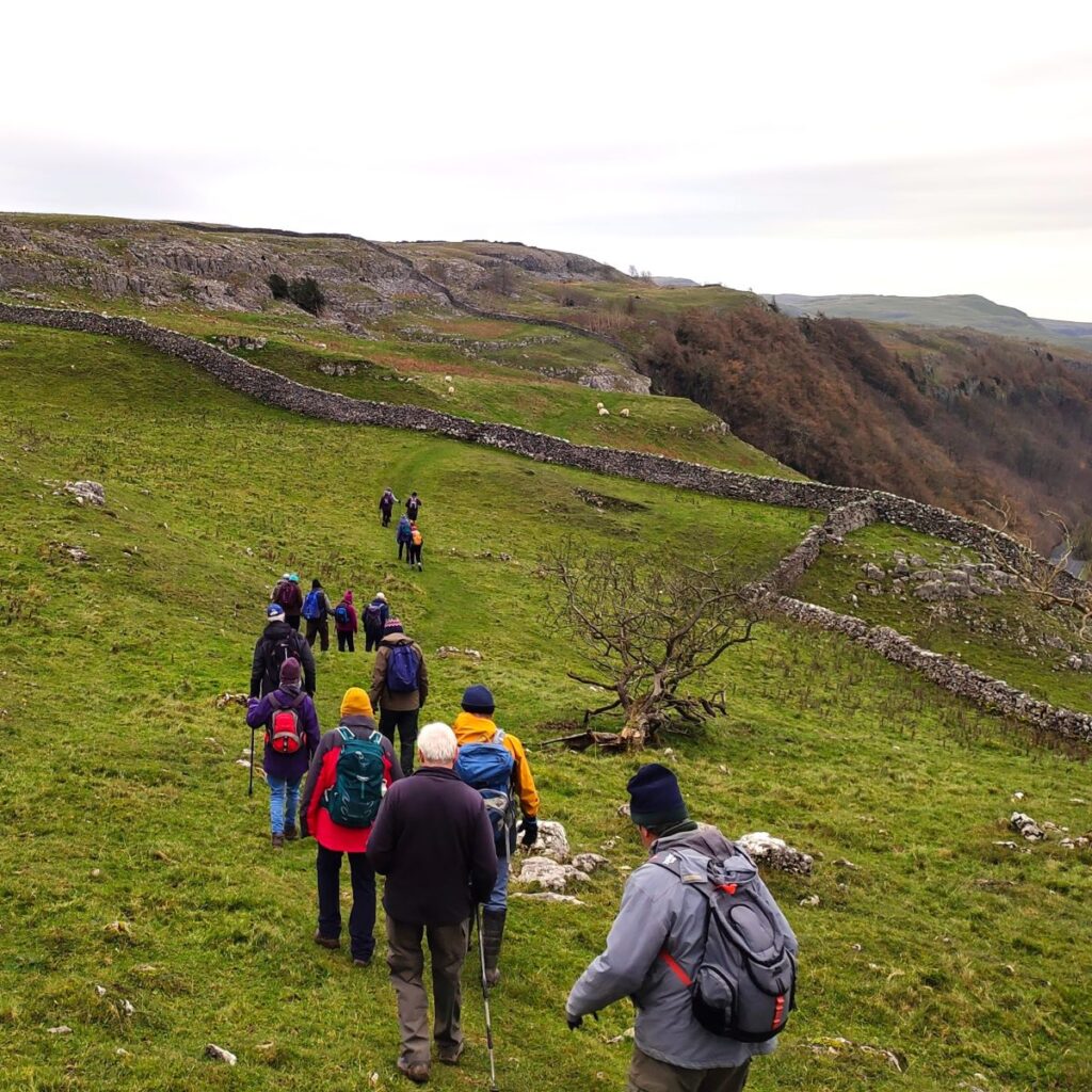
Ahead of us just uphill we see a finger post – we need to take the route signed for Feizor – the next section of the walk is quite steep, and the ground can be a little slippery when wet so take care. After a short while the gradient moderates and we cross the field heading Northwest to find a stile in the drystone wall on the Pennine Journey path over to Feizor. Rather curiously, you will find that there are two stiles – about 30m apart the lower one on our path, and the upper one on a separate path that comes from Lords Wood, and which combines with ours just beyond the stiles – quite why the trouble of building two stiles was taken is unknown.
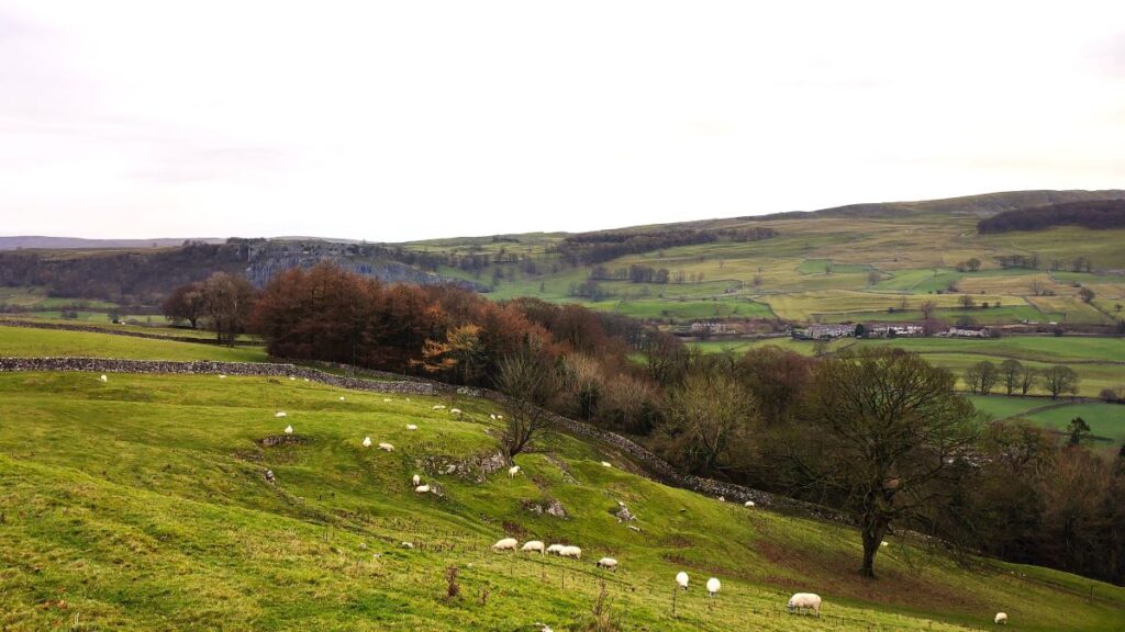
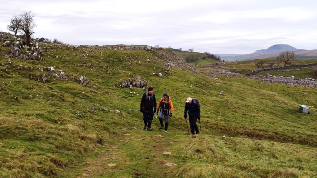
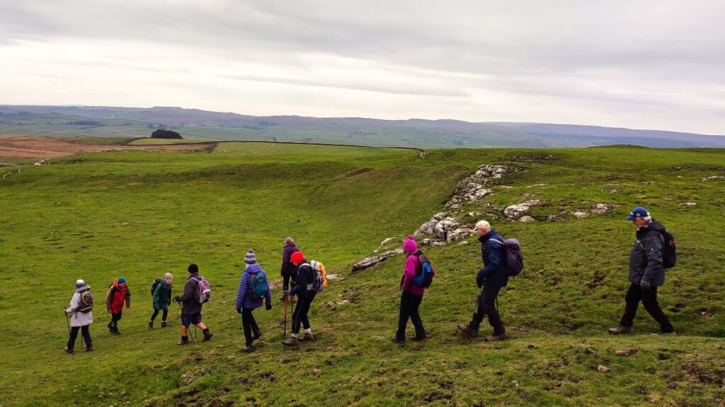
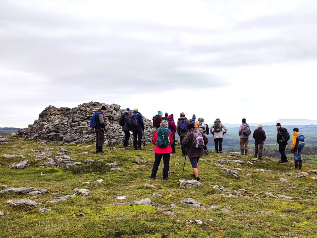
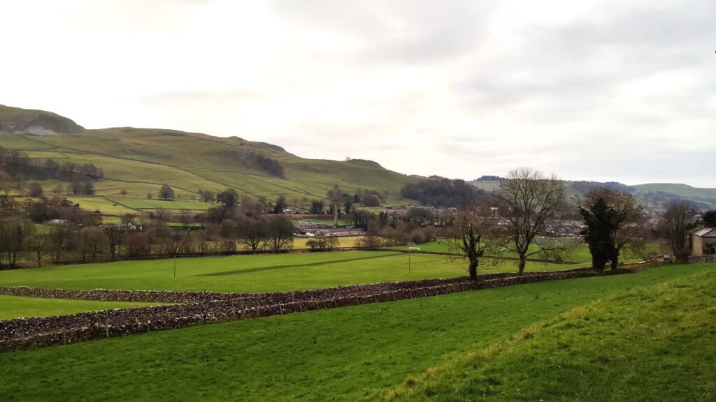
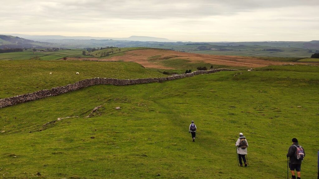
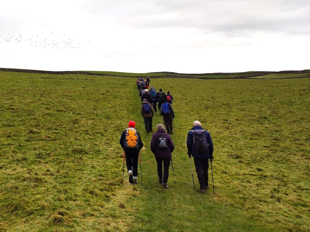
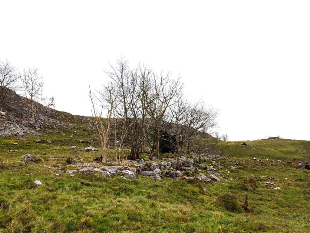
The path now continues for about 1 mile in a consistently North-westerly direction. This is a well-used long distance path, so the route should be clear. There is initially a little bit more climbing, and a somewhat zig zag path to clear some limestone scar before we reach a rather flatter and easier plateau – with views toward Smearsett Scar and Pot Scar ahead. We might also notice a number of cairns to the right of the path and a distinctive square enclosure – this was in fact a water storage reservoir (now disused) – we will get a closer look at another of these later in the walk.
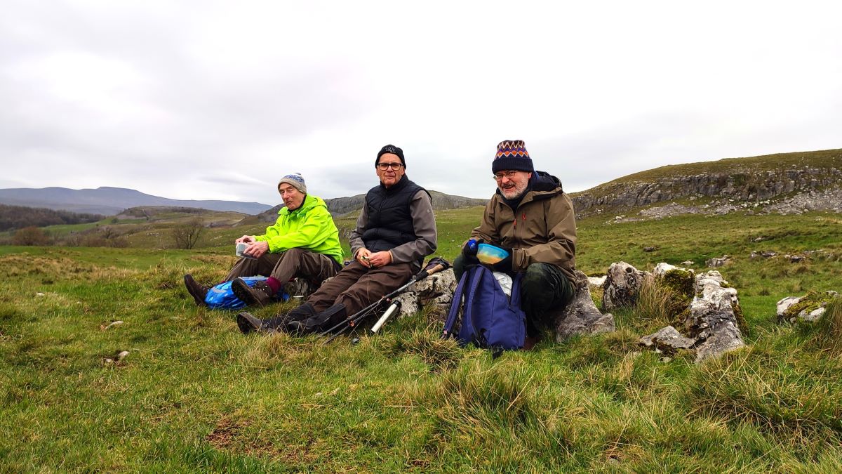
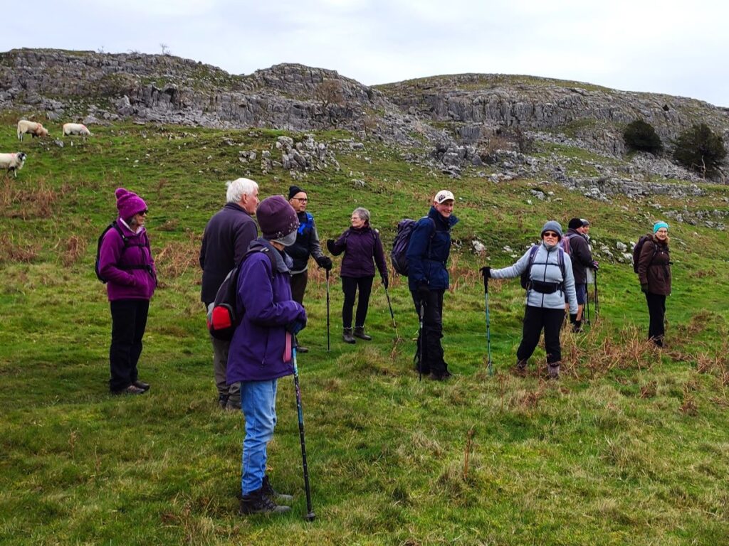
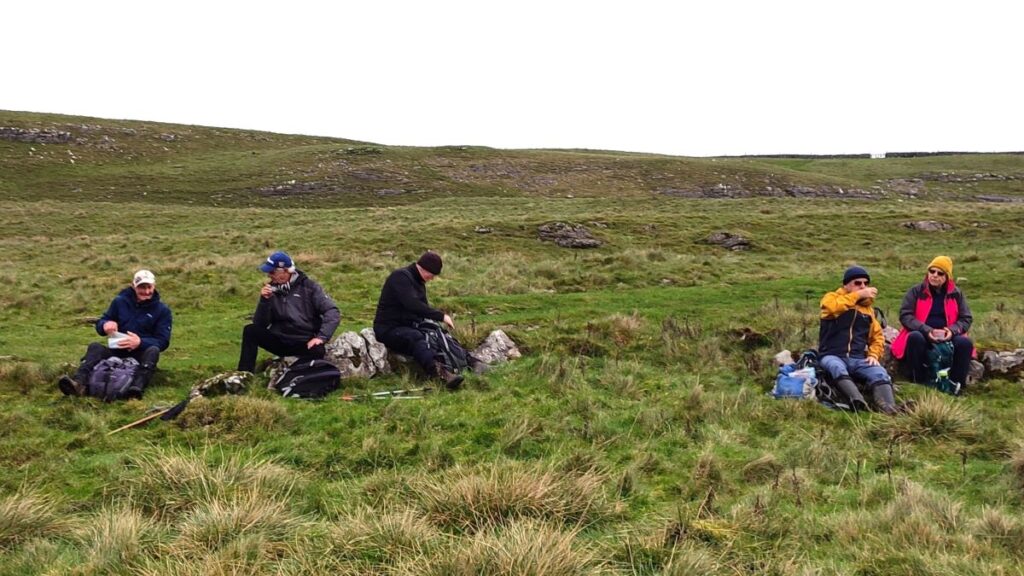
After a while we arrive at a fingerpost with three options – the route we arrived on, the continuation of the Pennine Journey path to Feizor, and a less used route to Giggleswick Scar on the left. We take the latter of these, meaning that we turn back to head South. There is obviously an option to cut that corner, or indeed to press on the Feizor and enjoy a break at Elaine’s Tea Rooms, a firm favourite of our group. On this occasion we wanted to keep the walk short, so we paused for a quick snack break in the limestone outcrops above the fingerpost before heading South.
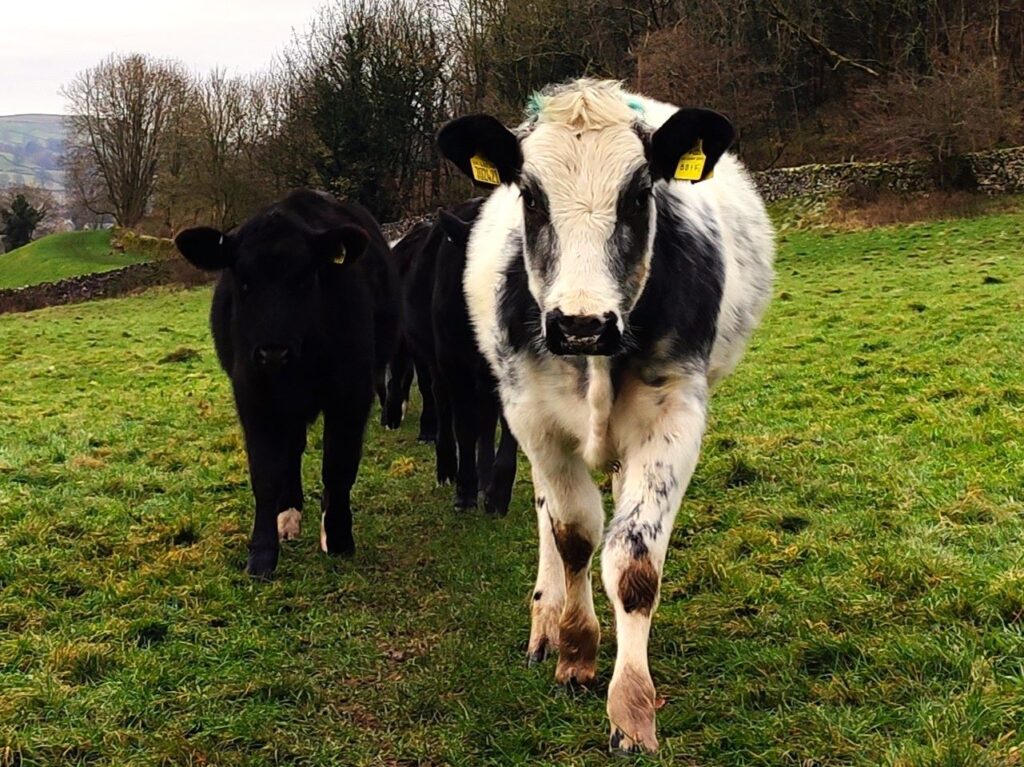
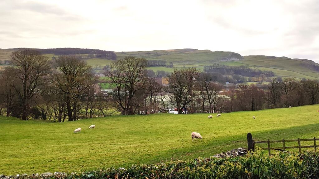
Fully refreshed we set off along the path to the Scar – initially this is also quite flat and passes though a number of broad fields with both sheep and cattle present. The first of these features (according to the OS map) an ancient enclosure over to the right (in reality there is little to see), and then in the second we see a more recent square enclosure – this is a sister to the reservoir we saw earlier. At first sight it looks like a simple pen, but close up we notice that it is a good 3m deep and that it has a water supply. This one is also unused – apart from as a location for dumping fallen stock.
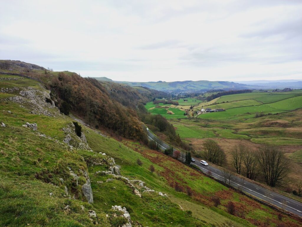
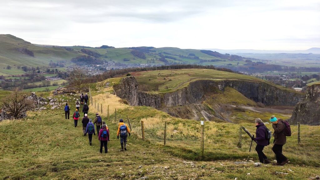
Having returned to the path we continue South, through a couple more gates and arrive at the top of the Scar. As we come through the last gate the path forks: The route to the right cuts through a valley and returns to the main road at Buck Haw Brow opposite Scar Top Garage – there is a small amount of roadside parking there so a useful place to keep in mind for walk starts. We head slightly further left however and stick to the top of Giggleswick Scar – although never close to the edge.
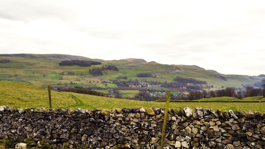
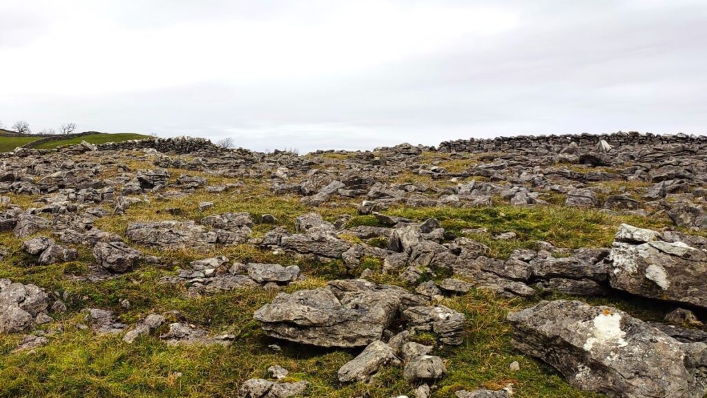
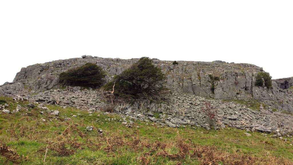
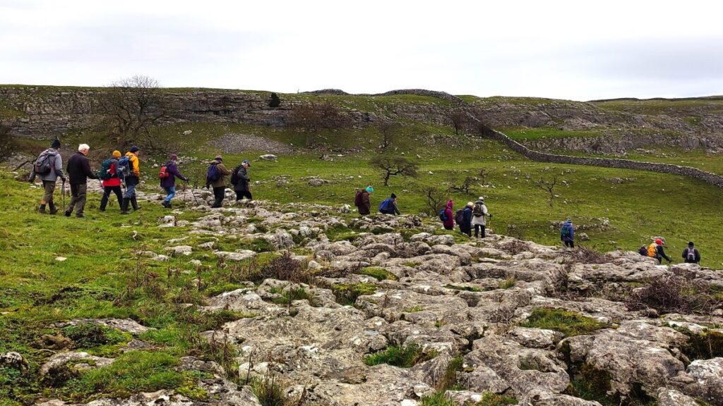
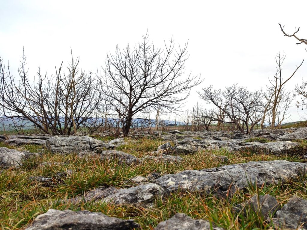
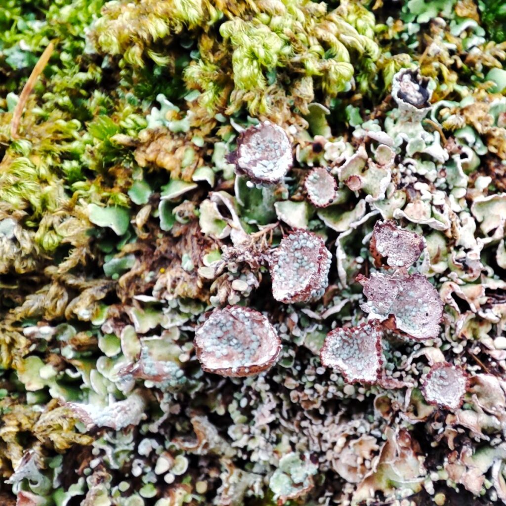
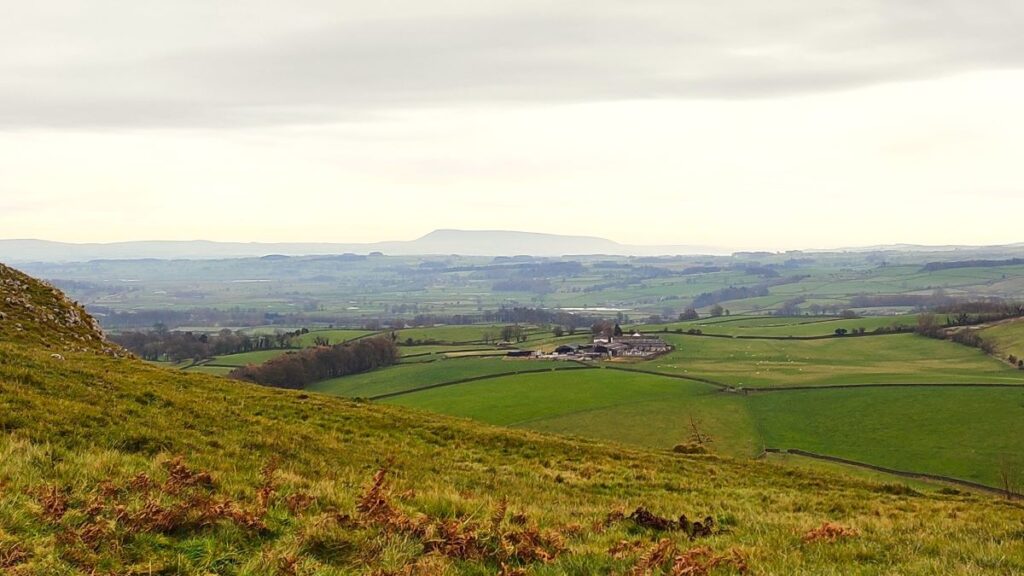
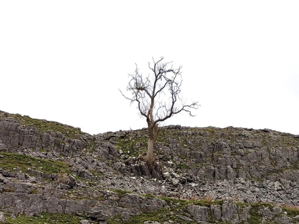
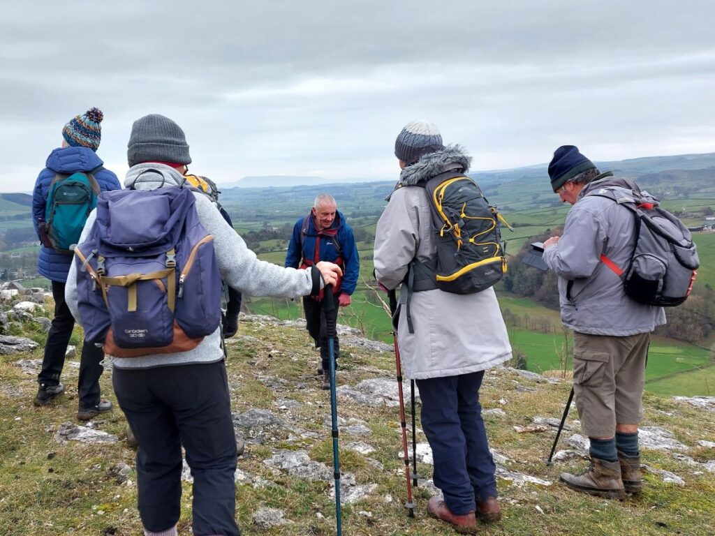
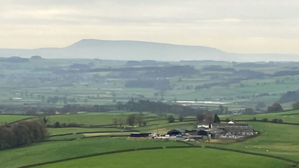
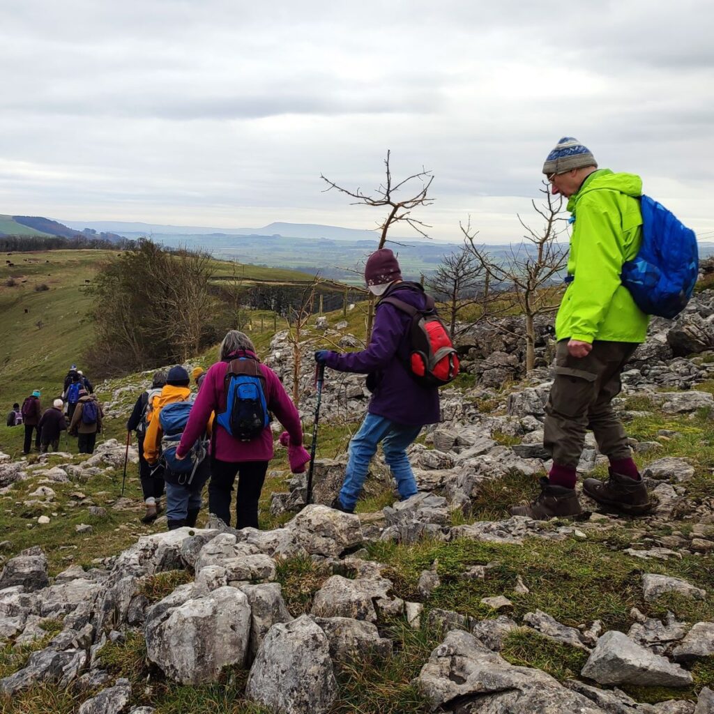
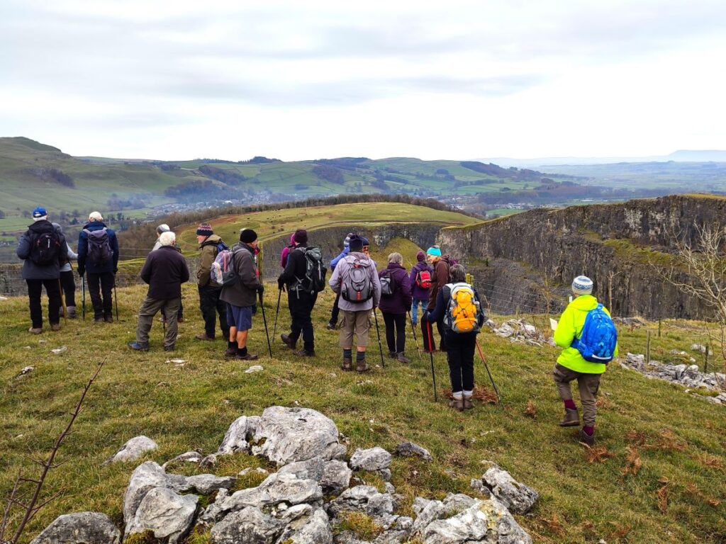
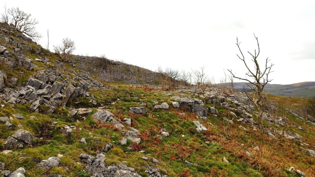
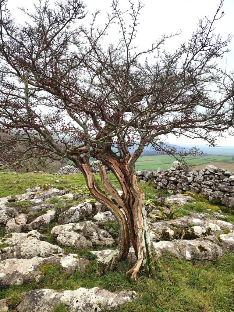
From here the landscape is very different to the broad pastures we have enjoyed for the last hour – we are now on limestone pavement and so need to be much more careful where we place our feet. The great views south toward the Ribble Valley and Pendle Hill, and south east toward Settle, mixed with the wonderfully atmospheric stunted Hawthorns that hang on within the pavement make the effort worthwhile.
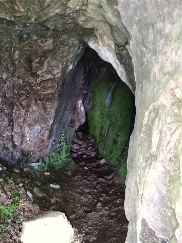
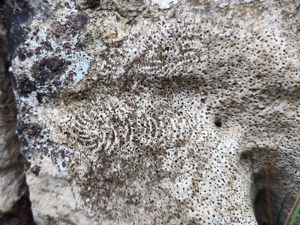
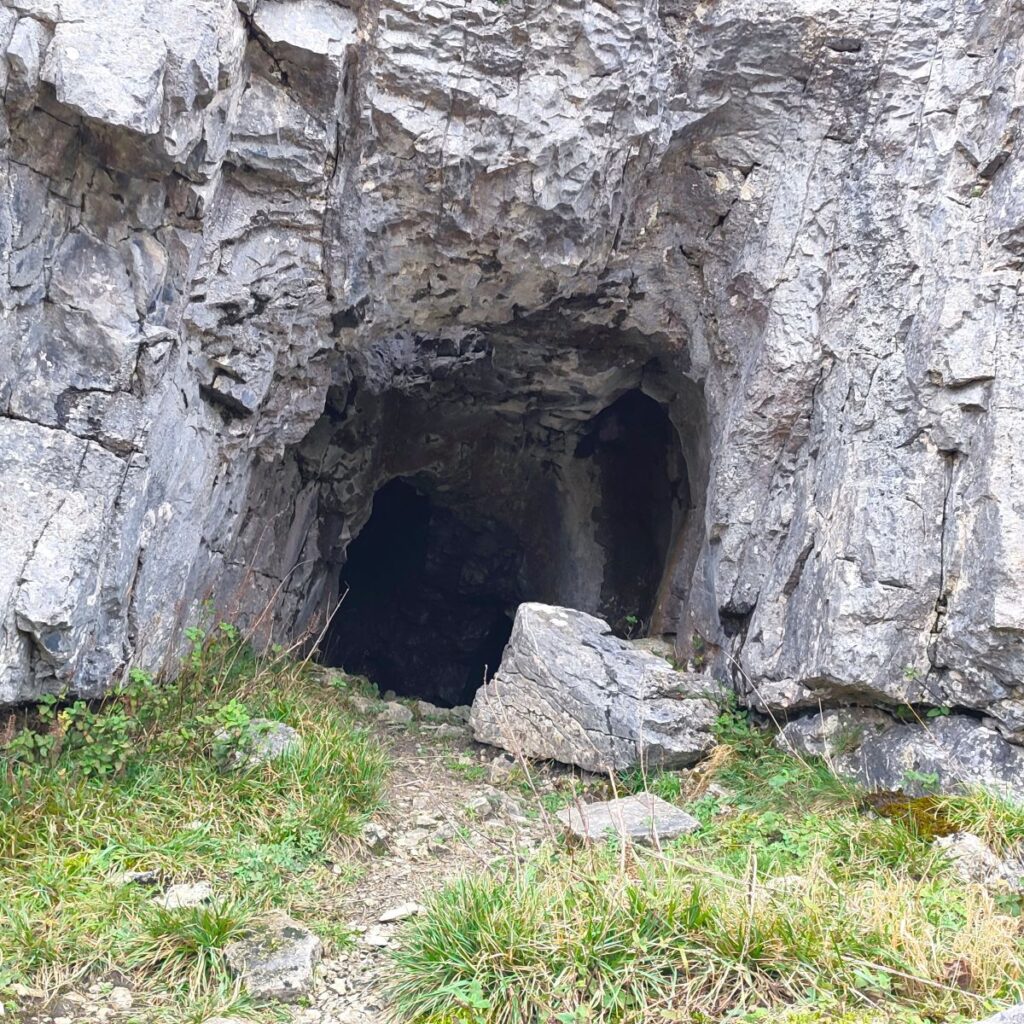
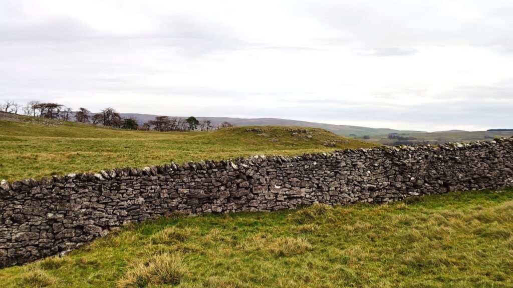
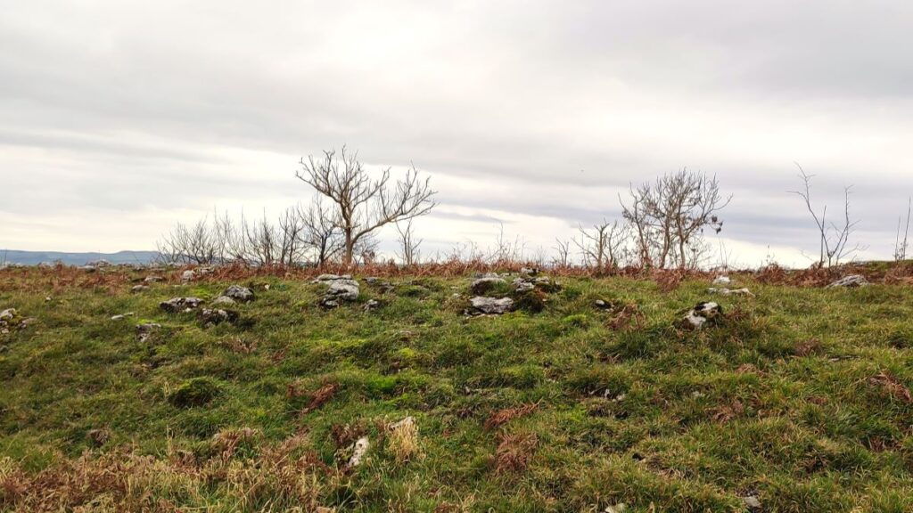
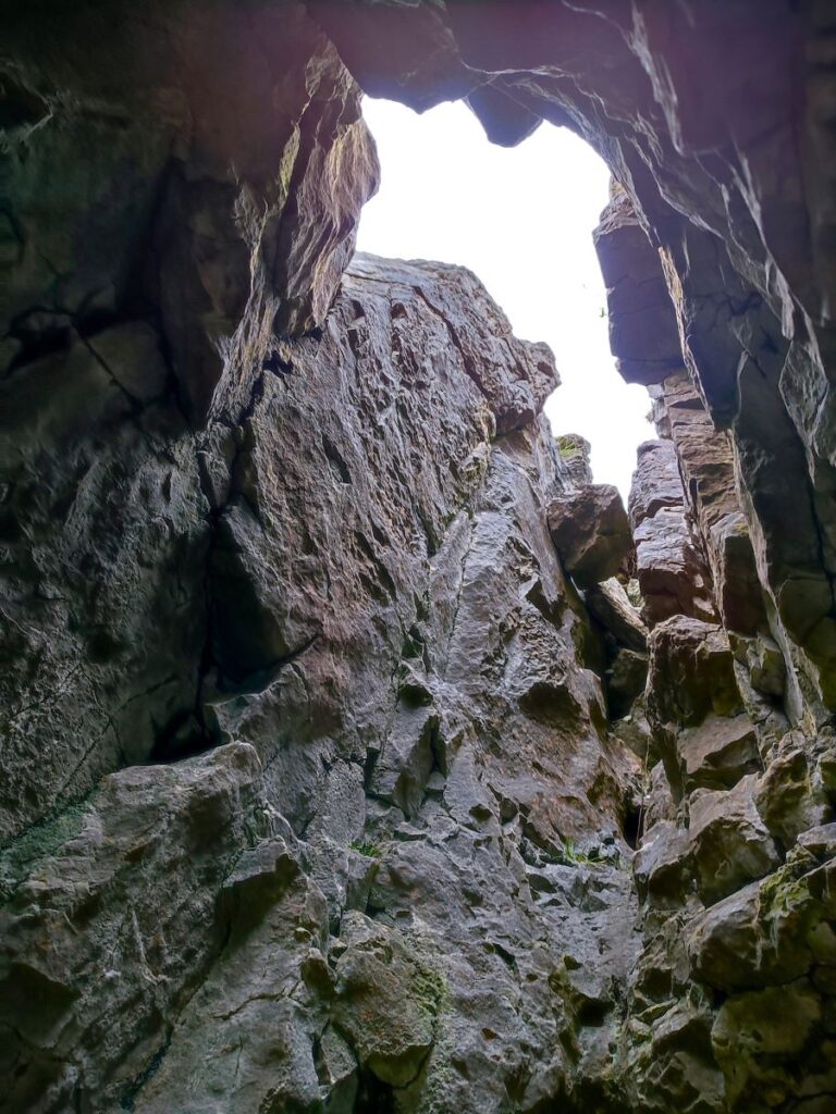
We follow the path along the top of the scar for 1 km now. The route remains clear but there is much to be seen by wandering away from the path a little: There are seven caves along the length of the Scar – the one we pass closest to is easily accessible and worth a look – but remember that access to anywhere other than the external mouth of a cave requires specialist knowledge and equipment, so if you want to know more, have a look at an informed website such as this rather than taking risks.

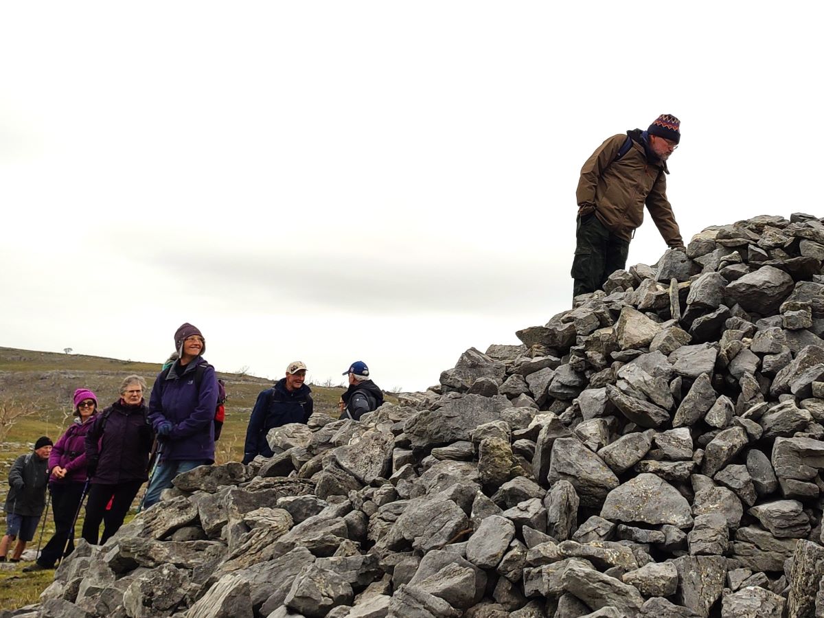
Toward the far end of the Scar, we see the remains of a large structure referred to locally as Schoolboy’s Tower. In practice the tower is nothing more than a large cairn, but it does have a circular plan, and there is a gap in the middle (be careful if you climb to verify this) so it may well have been a short tower at one time. The odd name is said to reflect the suggestion that matriculating students of Giggleswick School each place a rock on the tower to mark the end of their schooldays. Just below the tower, but not visited on this walk is Schoolboy Cave. Schoolboy tower is a particularly good place to enjoy the views over the flood plains at Long Preston.
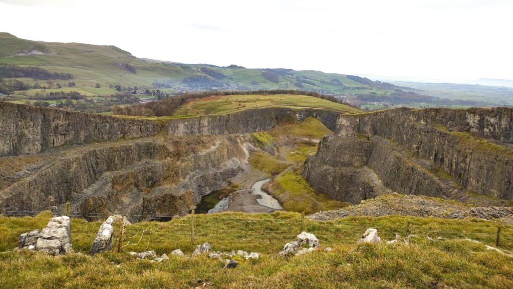
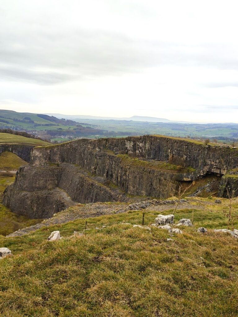
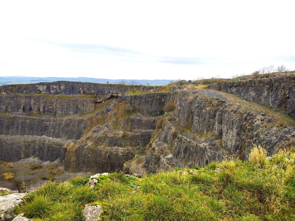
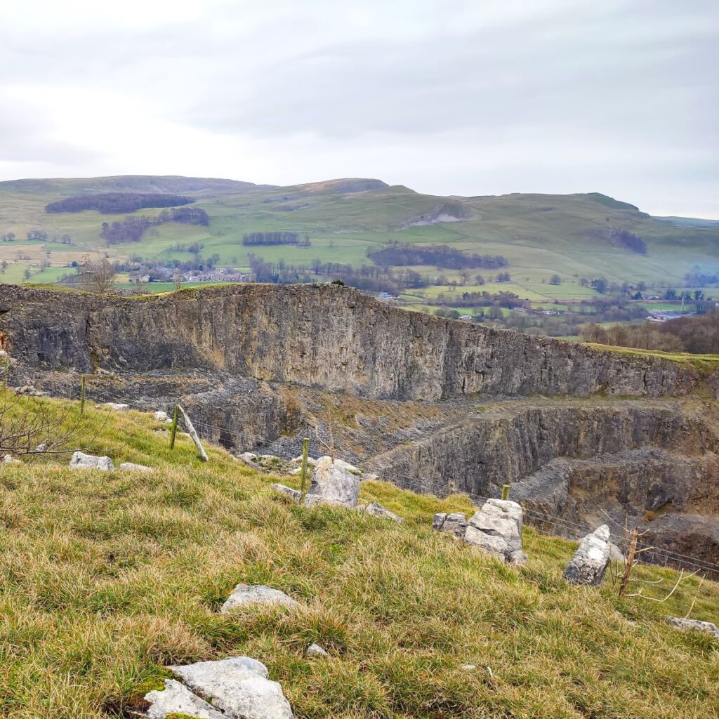
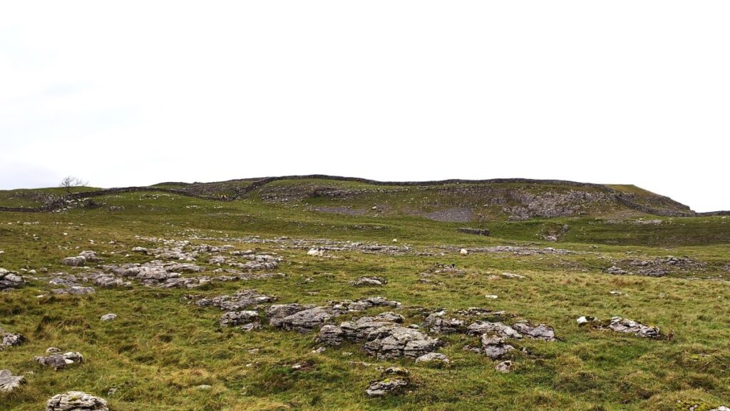
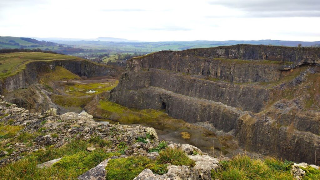
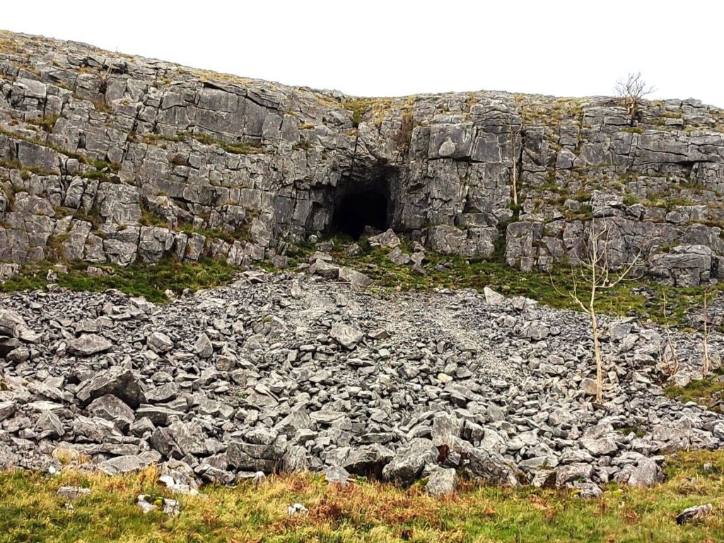
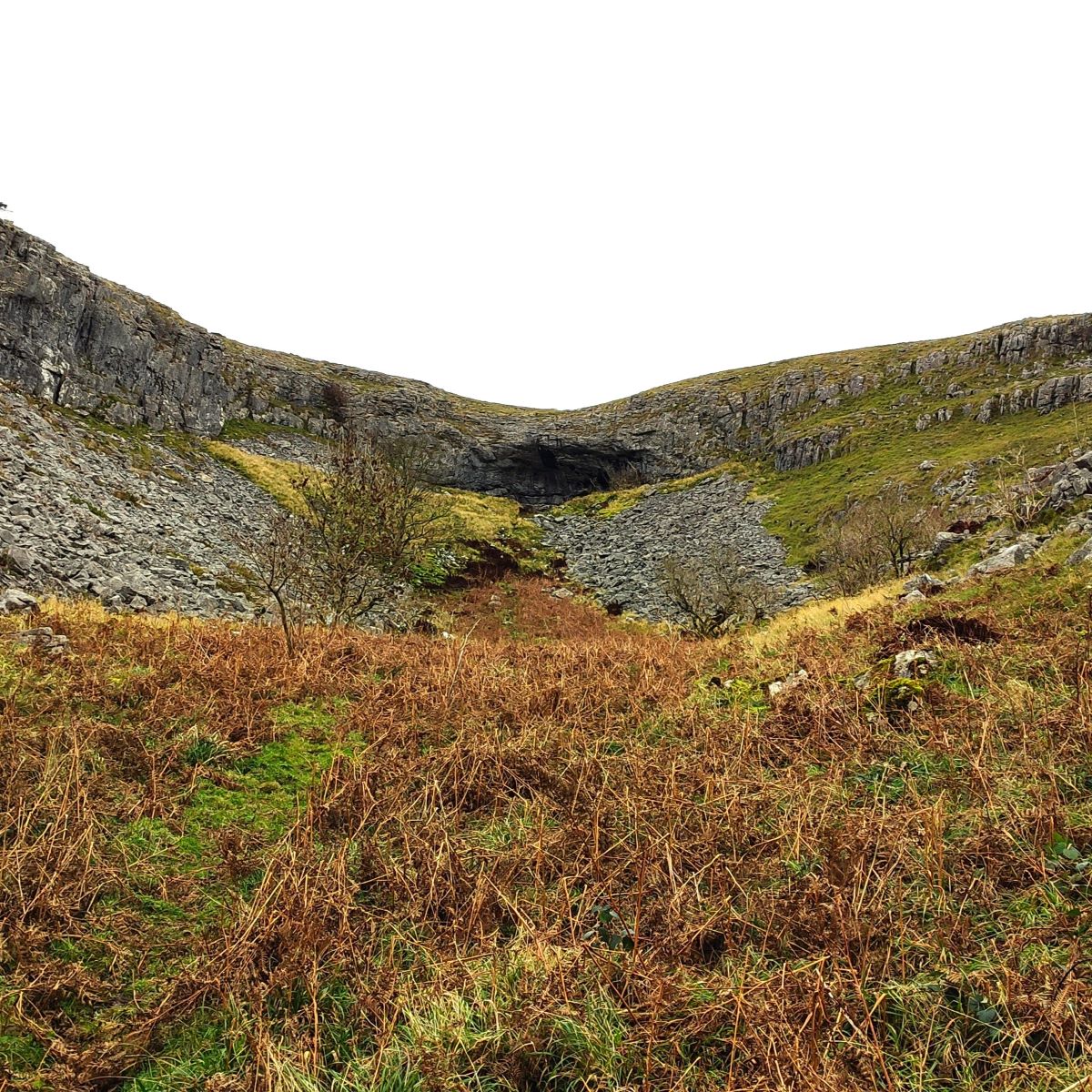
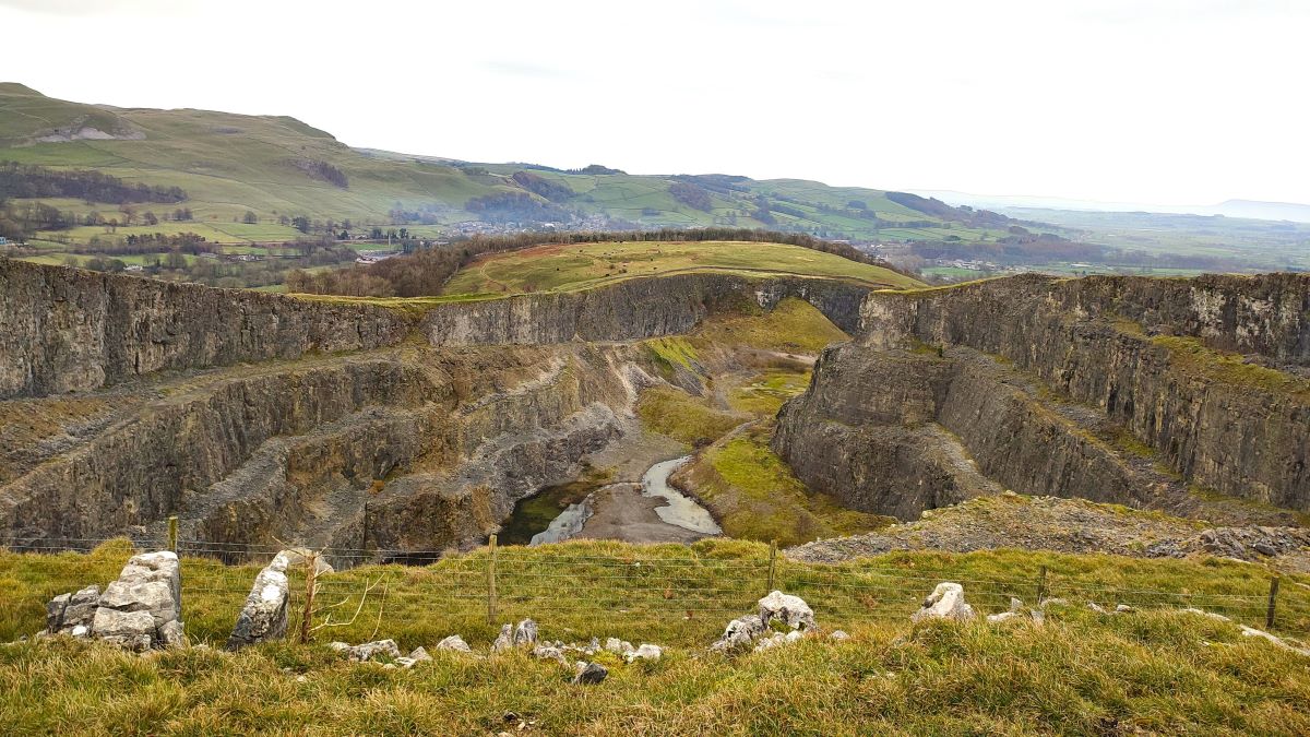
Over to our left is the disused Giggleswick Quarry – which closed as recently as 2006. This once thriving site extracted countless tonnes of limestone from the southern end of Giggleswick Scar. At the moment, the site is entirely unused, but plans have been suggested from time to time to place light industrial units inside the worked out space, effectively allowing an industrial estate to be present without being particularly visible.
The path winds clockwise around the quarry, offering great views of the old workings, and as we come round the safety fence that protects the perimeter we see Lords Wood below us – we are now on the last part of the walk.
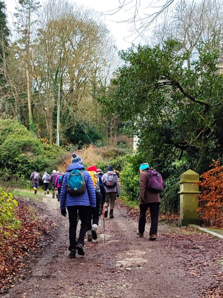
We follow the path around the quarry at first. It soon heads downhill, and we see a wider track that loops round and then approaches a wooden gate into the woods. Through this gate we pick up a broad path through the woods and arrive back at The Mains, where the walk ends.