Although Nidderdale is not part of the Yorkshire Dales National Park, it is an Area of Outstanding Natural Beauty (AONB), and certainly forms part of the Yorkshire Dales landscape.
This easy walk uses riverside sections of the Nidderdale Way, and takes a detour up the western side of the valley to the nature reserve at Old Spring Wood, before heading over to the tiny village of Hartwith. We then return along a combination of the Nidderdale way and the disused Nidd Valley Railway track bed.
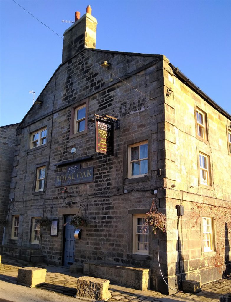
Our walk starts in the centre of Dacre Bank at a free public car park opposite the Royal Oak pub. If you are using SatNav then the postcode is HG3 4EN, and if you are arriving at Dacre Banks from the A59 having passed Menwith Hill, then look out for a sign post at the phone box at the bottom of the hill as you enter the village.
Note that Public Toilets are available in Dacre Banks – just in front of the Pharmacy.
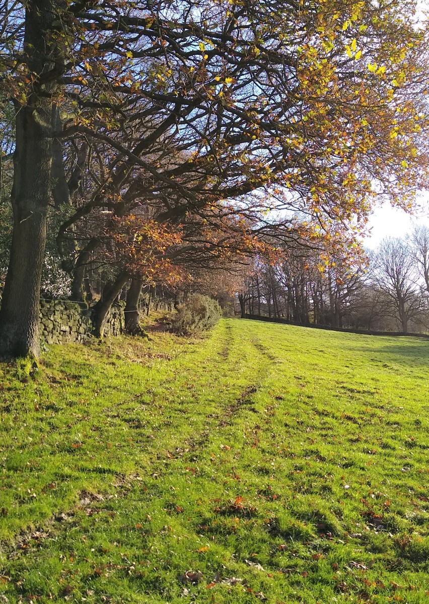
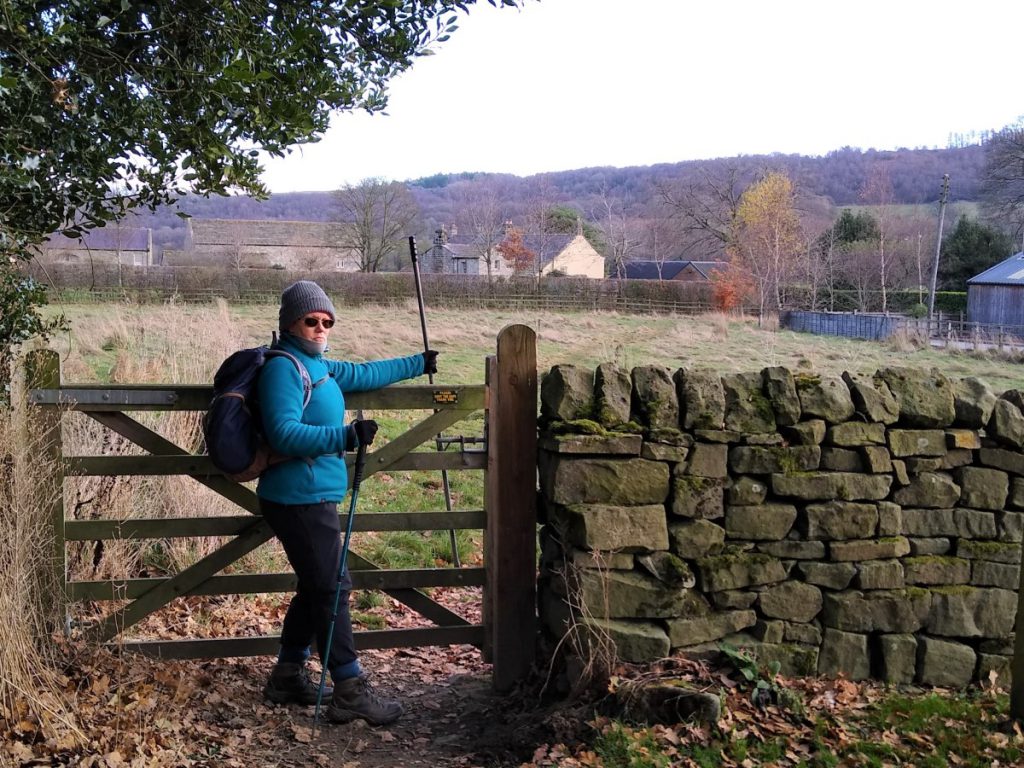
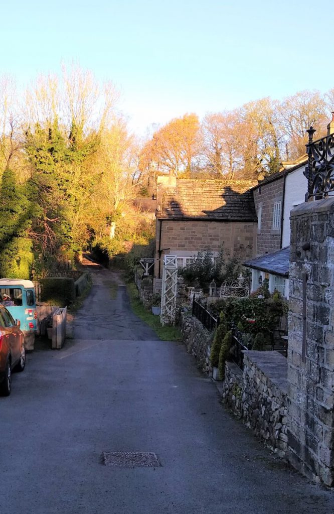
As we exit the car park, we turn right down the lane and almost immediately left, passing between houses. Ahead of us on the right we see a gate into a field, and we take this before skirting the top of the field to take a second gate, through a cattle pen, into open fields and a clear path leading down to the River Nidd.
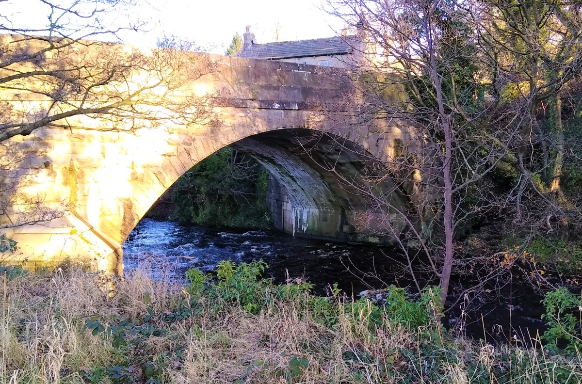
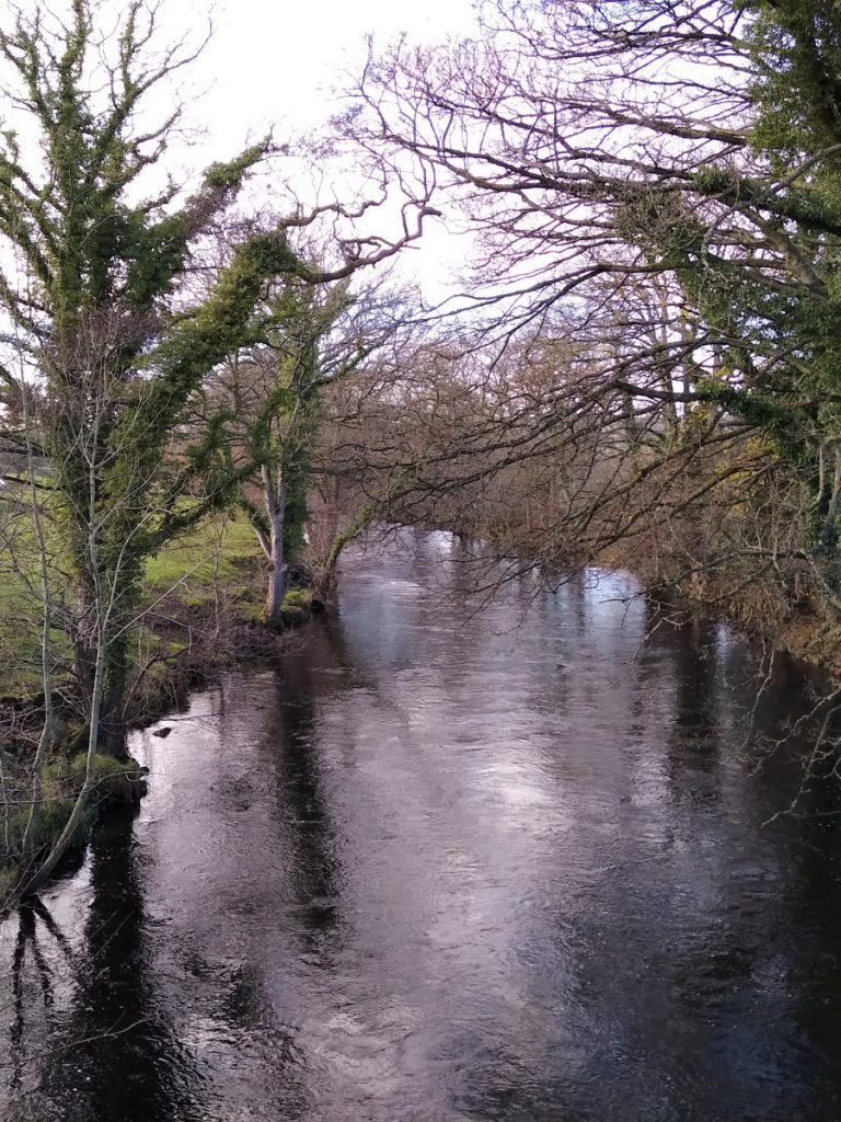
As we approach the Nidd, we find a gate in the fence and turn left, to walk upstream along the Nidderdale Way with the river on our right. Ahead of us we see some well-maintained sports facilities and the road bridge linking Dacre Banks to Summerbridge. We walk behind the sports club to find a small stile up onto the road bridge, which we cross.
We see a sign marking the boundary of Summerbridge, and just before this we cross the road and continue down the Nidderdale way, now with the river on our left.
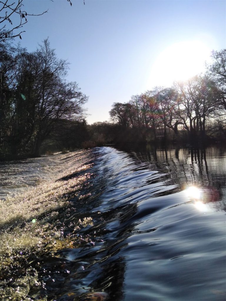
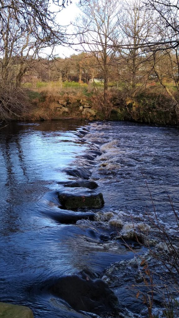
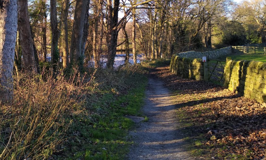
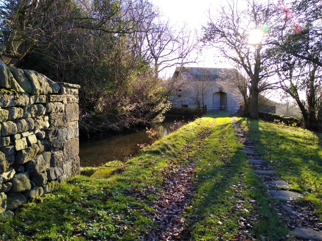
We are now walking down a lane that gives access to a number of houses, and although not always clearly visible due to the trees, opposite us on the east of the river is the site of a mill that would originally have been powered by water. We see further evidence for this as we approach a weir – built to raise the water level and to divert water down a spillway to the race at the mill. It is worth pausing at the weir to read the interpretation board which details the surprising industrial heritage of this now tranquil spot.
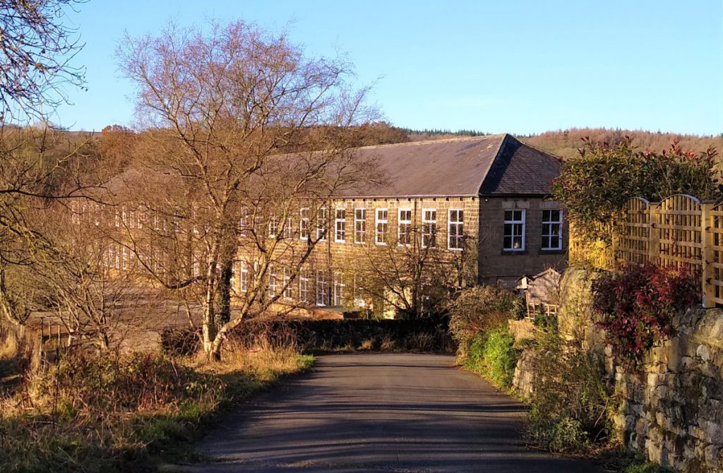
We carry on along the Nidderdale way, until we see large mills ahead of us on the left. This little area is (somewhat ambitiously) called New York, and the Mills are the New York Flax Mills. They are no longer used as a mill but do still house industrial units.
At this point we turn right up the lane, where we see a domestic building that was once a fire station, and in front of this, the B6165.
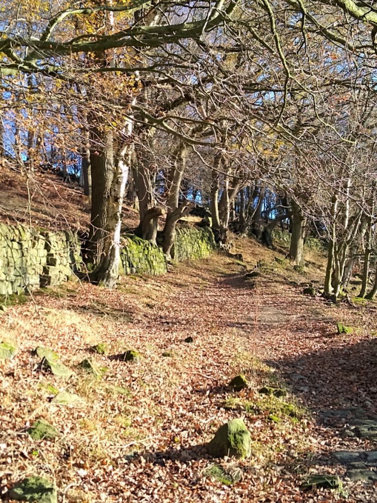
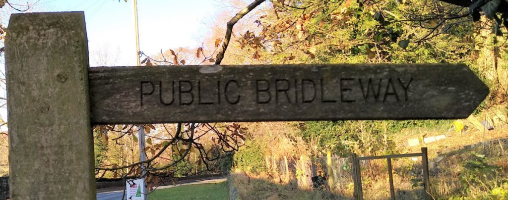
We turn left along the B6165, noting the bus shelter opposite with New York carved into the masonry, and just beyond that we take a lane off the road on the right to head uphill into a pleasant woodland area, this is signposted as a public bridleway.
We walk up through the woods, ignoring smaller paths and tracks on either side. We also pass a slightly misleading sign that seems to indicate that the track is private – we do have right of way, and the sign is only trying to clarify that there is no access for traffic.
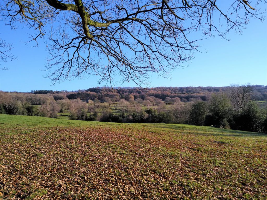
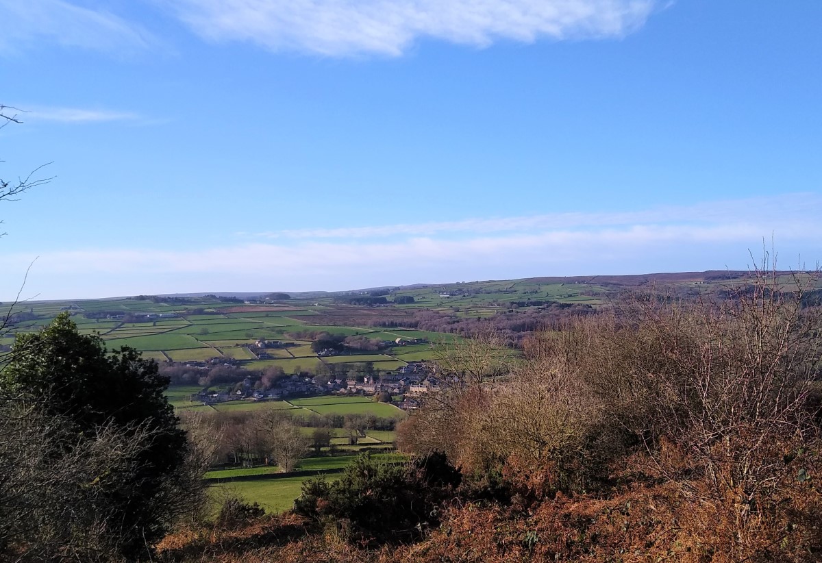
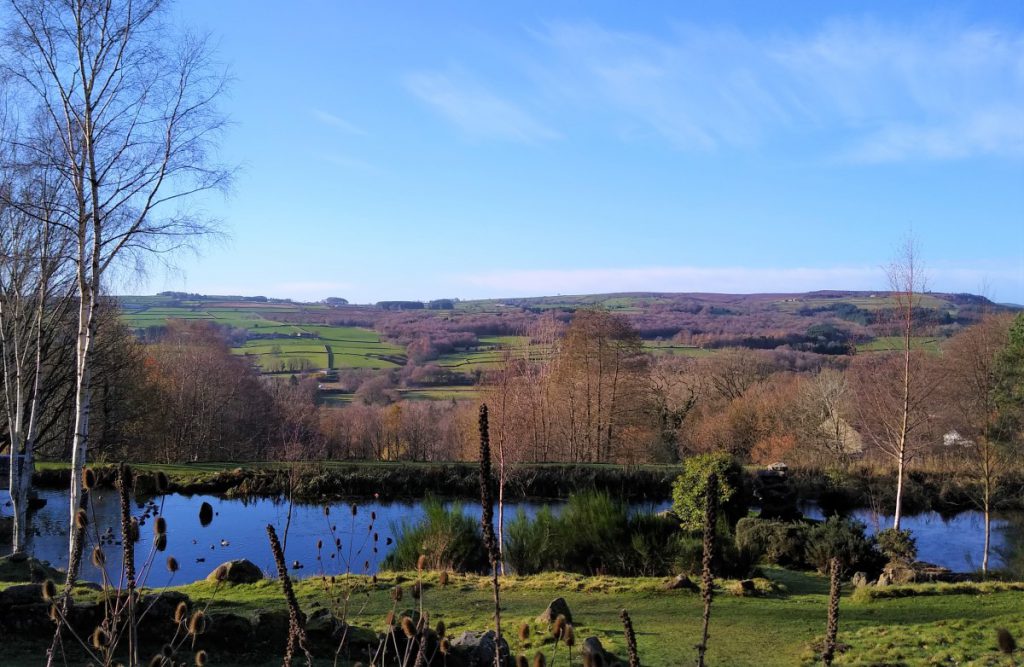
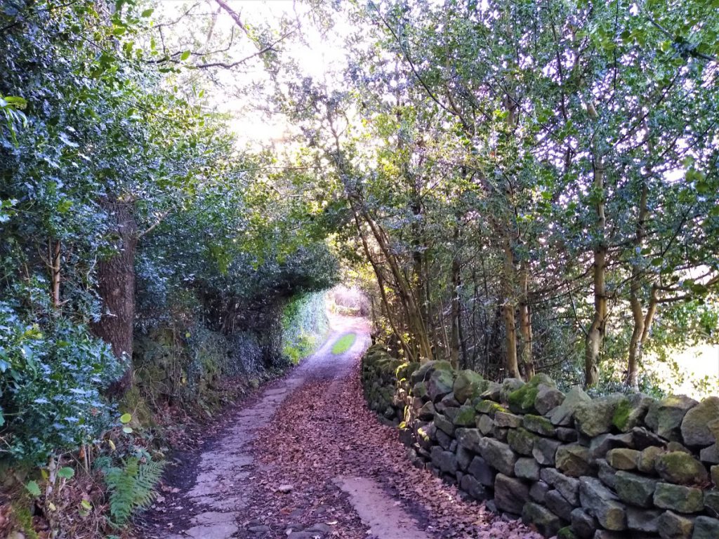
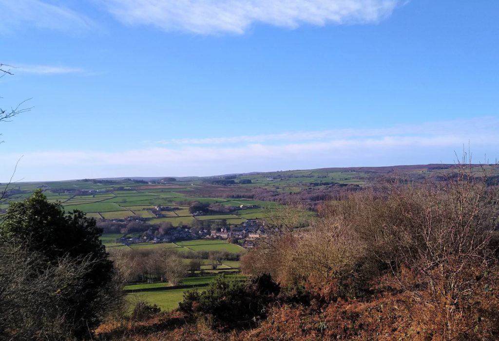
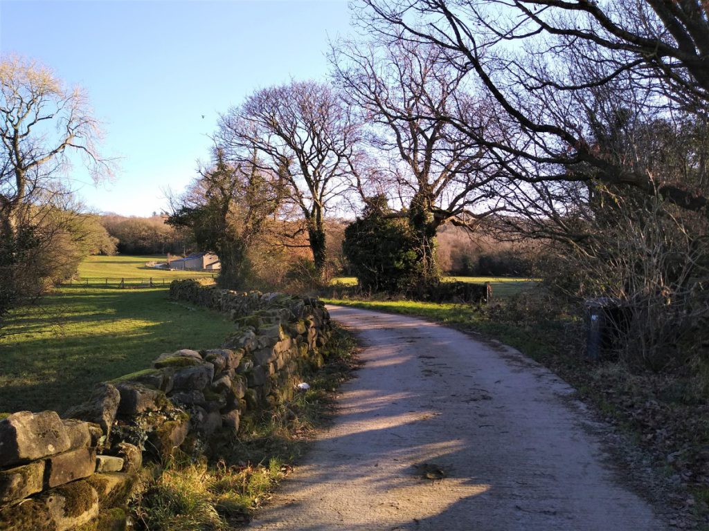
The woods soon thin out and we find ourselves walking in a lane with drystone walls on either side. Good views are found on both sides. To the left we have views over the Nidd Valley toward Glasshouses and Pateley Bridge, and to the right Needham’s Crag.
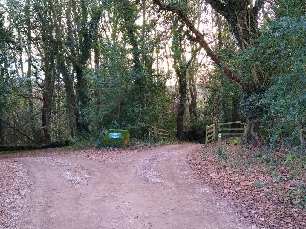
We soon approach Braisty Woods Farm, passing barns / sheds on the right before arriving at a junction where we turn right, away from the farmhouse, and at the end of the buildings, we approach a fork where we take the right, down another lane toward more farm buildings.
The footpath has been diverted here. Users of older OS maps will see it passing between the farm buildings
– in reality it goes around them to the left – this is all well signposted.
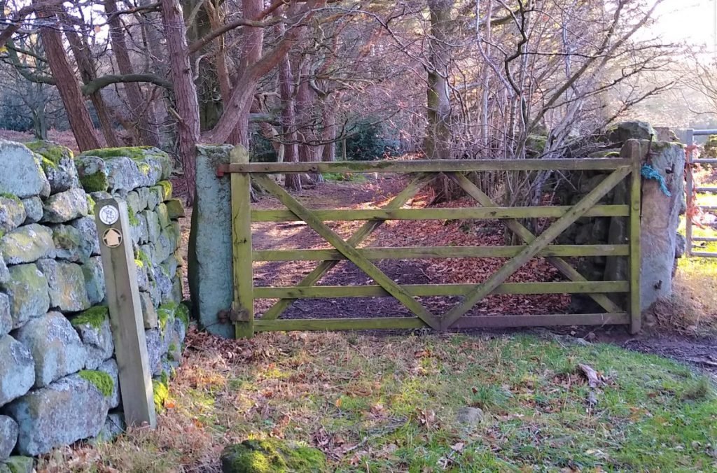
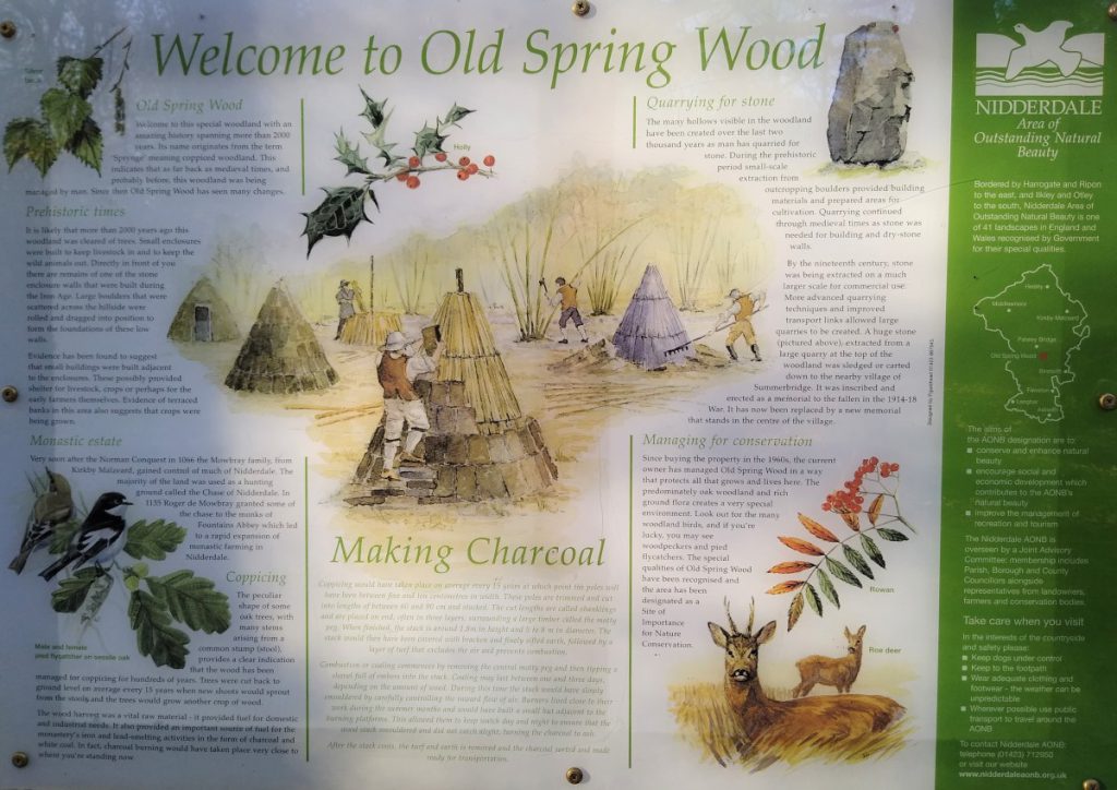
We continue on the track with Braisty woods on our right before passing another farm with a small pond to take the left hand of two gates where we enter the nature reserve at Old Spring Wood.
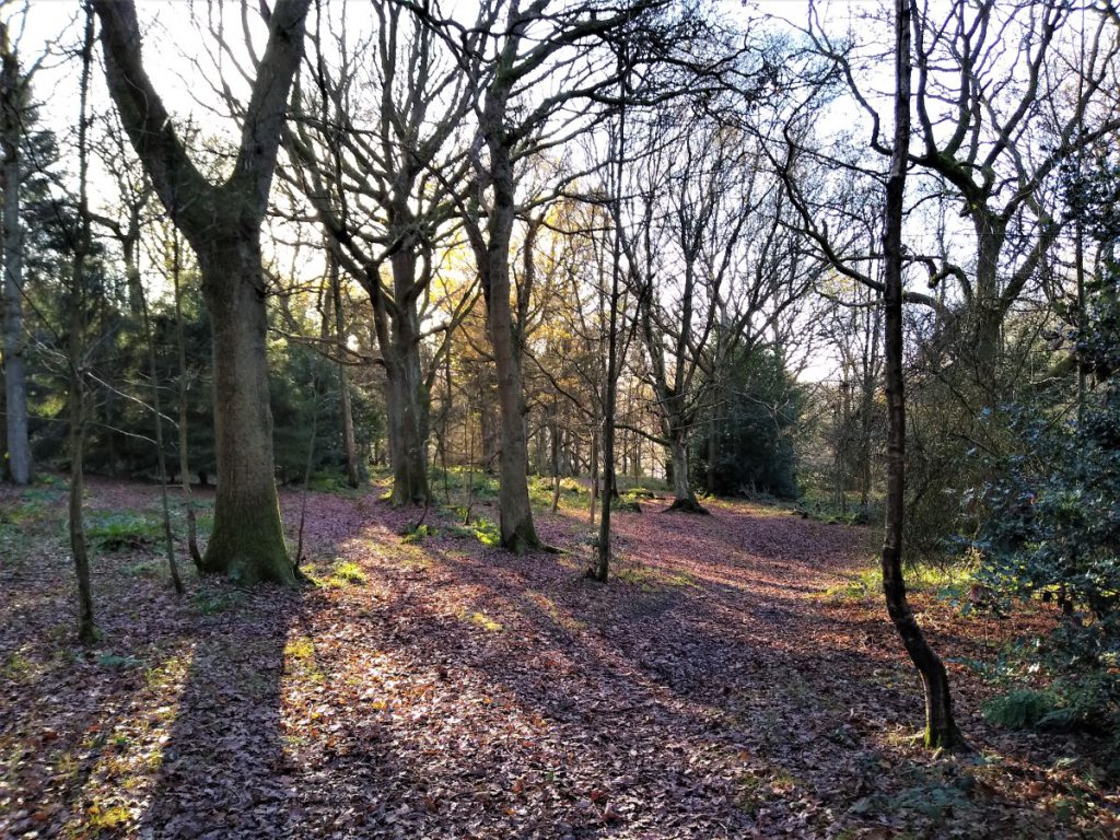
The route through this ancient woodland is generally clear, although some care is needed to avoid being tempted by the many paths, formal and otherwise, that criss-cross the woods. Confirmation that you have the right route is provided by an interpretation board that soon becomes visible on the correct path, but if in doubt, head South.
We reach the corner of this compact area of woodland at a house with a large pond – we walk between the house and the pond down the well made road. As this curves round to the right to meet the road into Summerbridge, look for a small path on the left which takes us up to the road opposite our onward route.
The road we now cross returns directly downhill to the road bridge from Dacre Banks to Summerbridge, so if you need to bail-out for any reason this is a good shortcut back to the start.
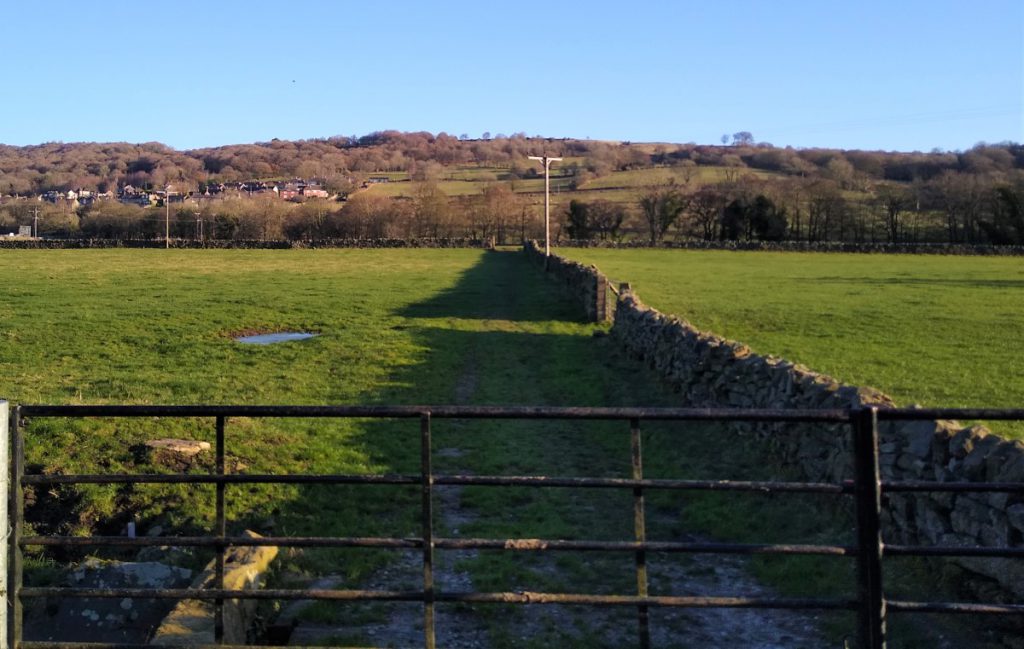
We now cross the road and see a short but steep track up to a gate, giving us access to a path along the lower edge of the woodland. Our path now follows the drystone wall until we get to a stile next to a small underground reservoir.
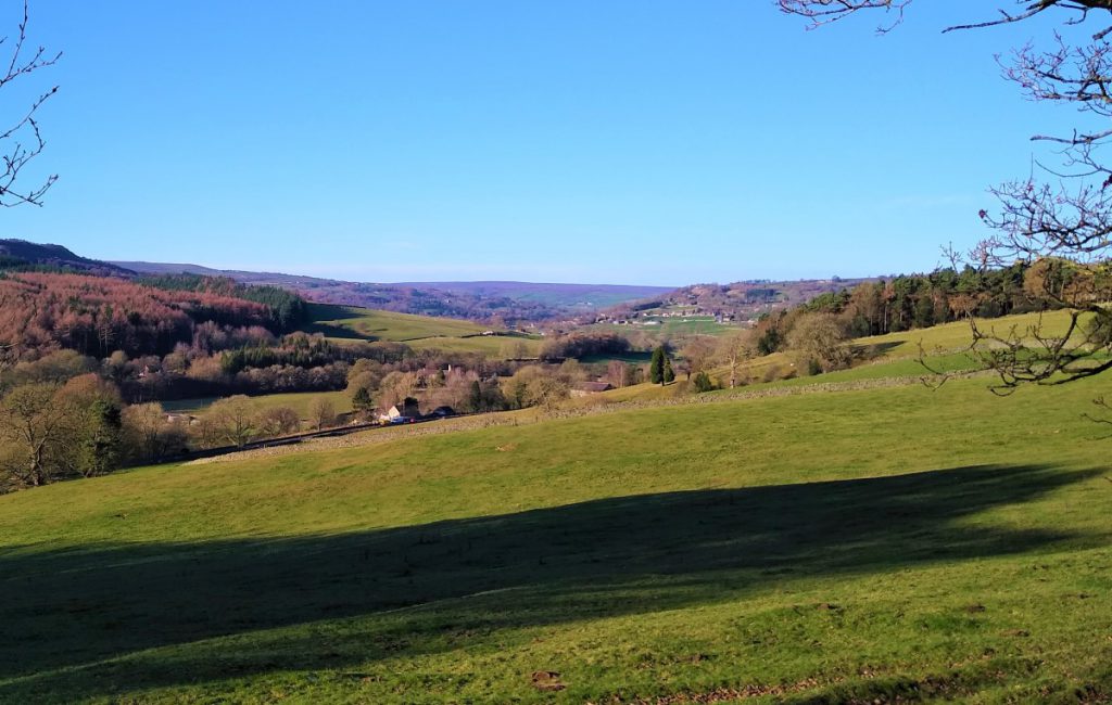
We now walk along a route that is indicated on the map as a bridleway – although it is quite steep, and somewhat narrow due to vegetation overgrowth, so meeting a horse is not perhaps very likely. We now climb steadily, heading in a generally SE direction, until the tree cover on the left thins out and we enjoy good views over the valley toward Dacre.
We arrive at a junction where we turn left – along what is clearly the same track with a small path to our right which we ignore. This again takes us uphill, and our direction of travel is now NE.
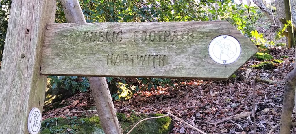
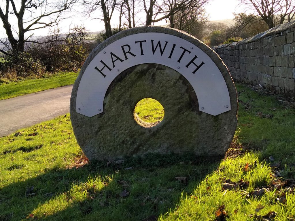
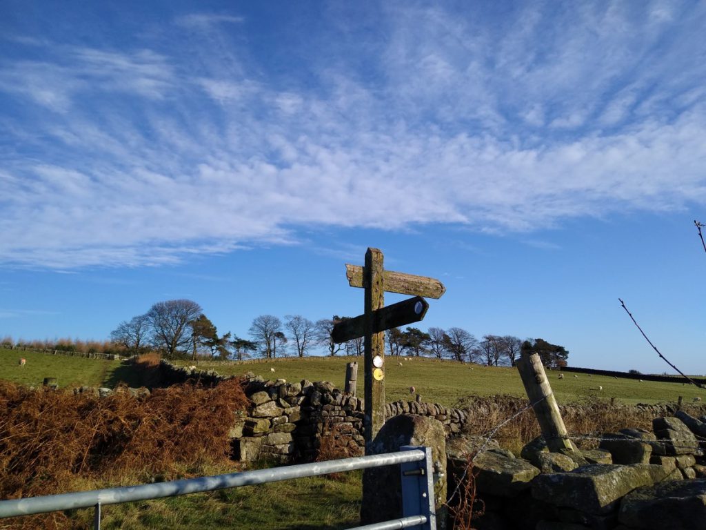
After a brief, but at times quite steep climb, our lane arrives at a crossroads with a four way finger post. Our route is right toward Hartwith. We are now on much flatter ground as we follow the contours in a SE direction before curving round to the left to reveal Edge Nook Farm ahead of us. As we arrive at the farm buildings, we meet a minor road and turn right heading gently downhill toward Hartwith.
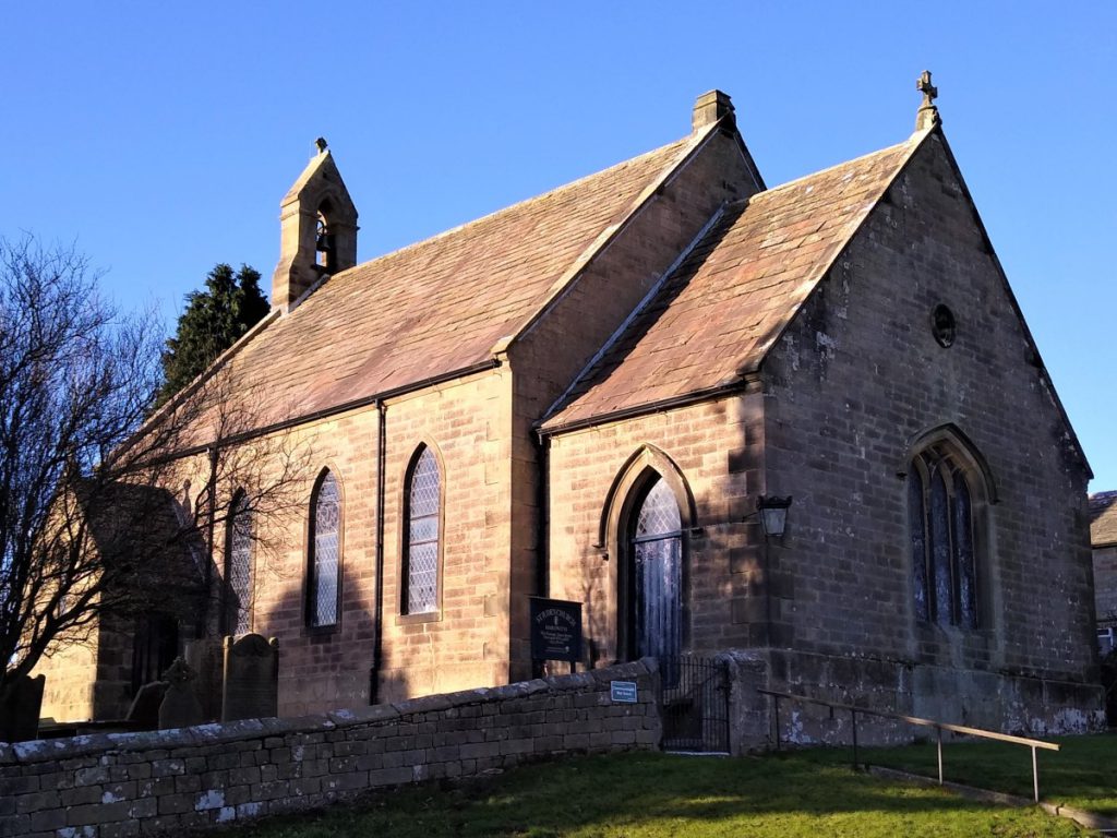
We carry on into Hartwith where we seen the church of St Jude’s and its graveyard with Commonwealth War graves where we may pause for lunch.
At the back of the graveyard we find a metal gate which gives access to the fields behind. We take this and turn left toward another gate visible at the lower end of the field.
From here we cross toward the drystone wall opposite and follow it uphill at first, keeping the wall on our right. We ignore stiles in the wall where other paths cross – there are many walks in this area that are worth exploring on another day.
Ahead of us we see a large farm, and we head to the field corner at the right of that farm to pick up a well signed track that passes through the farm and on down to the road between Harrogate and Pateley Bridge. This road can be quite busy, so take care as you approach
Our path now continues on the other side of the road, but not quite opposite. We need to turn left and walk a short distance along the road to find a small stub of lane leading to a gate into the field opposite.
We cross the field and go through a gate to pick up the access track to Birchfield farm, where we turn right, now walking downhill. The farm is a significant tourist attraction, so keep a look out for traffic.
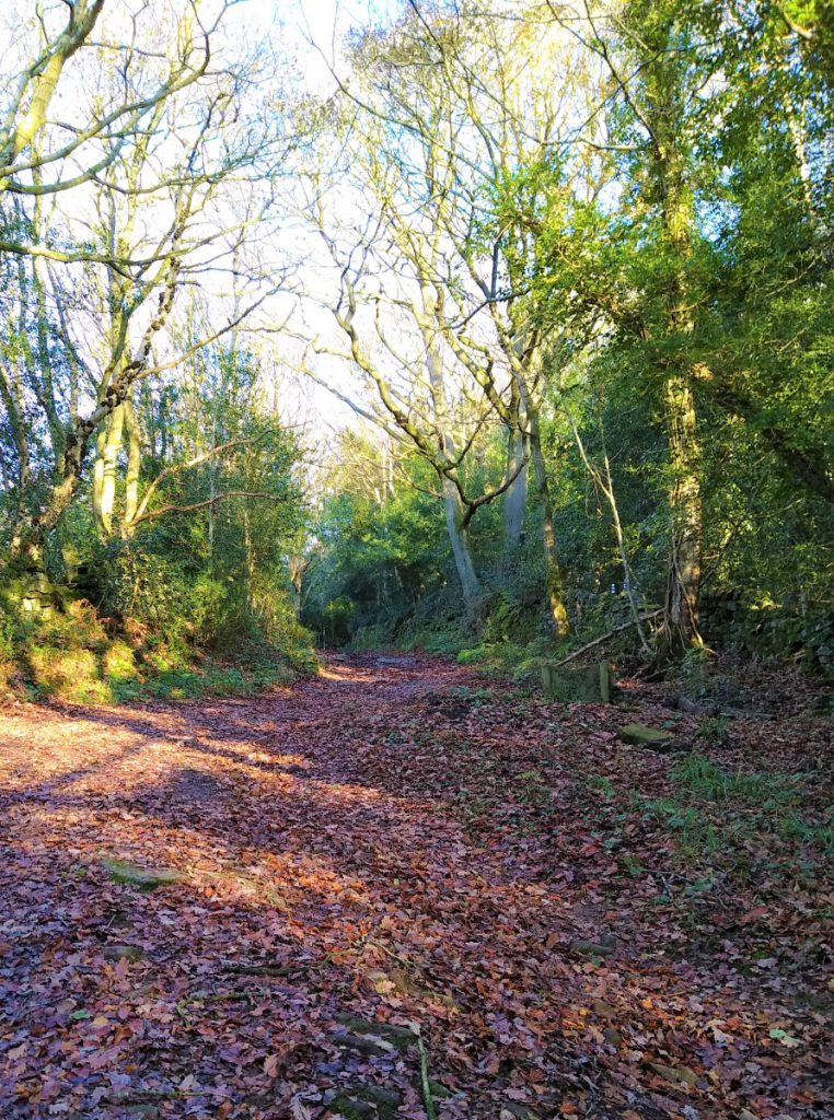
After the farm, the track again becomes quiet and we soon approach a fork where we take right down into Willie’s Wood. This track passes through the wood and as we exit, we see some houses and stables ahead of us.
We need to keep a close look out here for the path on the left – it’s just at the end of the woodland and easy to miss.
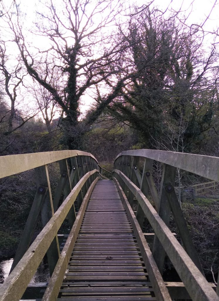
We cross the field diagonally to pick up a well-marked path between two fields which leads down to the Nidd, which we cross on a narrow footbridge.
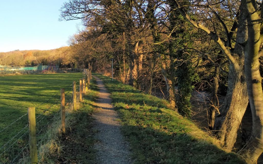
Immediately after the footbridge we see a kissing gate leading onto the Nidderdale way which we initially follow upstream with the river on our right.
The path here is popular and well-trodden, so navigation should not be an issue. In fact, if you particularly like the waterside, you could just follow this path along the riverbank until you get back to the point where we initially picked up the Nidderdale way back at the start.
We pass through a number of field boundaries before walking round the rear of some modern houses that back onto the river. Beyond these we hop over a stile and continue along the riverbank, before taking another small footbridge over a beck entering the Nidd.
On our left, we start to see evidence of the dismantled railway line. This was the Nidd Valley line of the North Eastern Railway. There was once a station at Dacre Banks, and although the line closed in 1964, the station building, now a dwelling, still exists.
We pass a number of rather fine stone-built arched bridges allowing farm access across the railway, and note that one of them connects to a series of steppingstones over the Nidd. These form part of a public footpath but are only safely useable under low flow conditions – clearly not the case here: In any event our path continues along the river.
After the steppingstones, we keep an eye open for a gate on the left leading to a path up toward the bed of the old railway line. We find this as the river starts to curve round to the right.
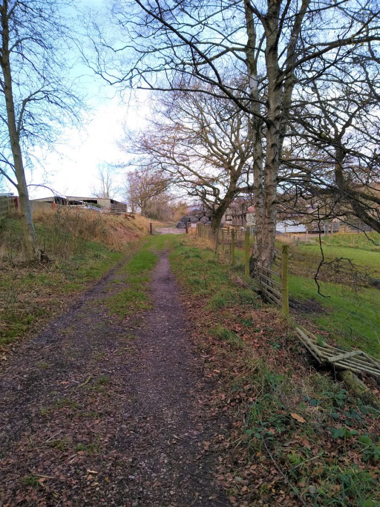
We walk up to the railway track and follow it through Low Hall woods to arrive at a farm. The track continues and we now pass into more open countryside with Dacre Banks a short distance ahead of us. The very last section of the walk diverges form the railway bed, and passes more to the right to a stile into the lane that connects us to the car park. This is clearly signposted.