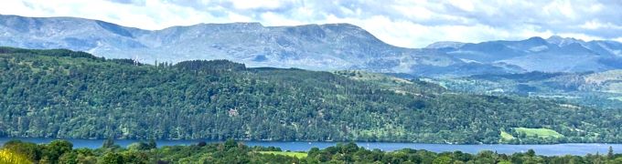
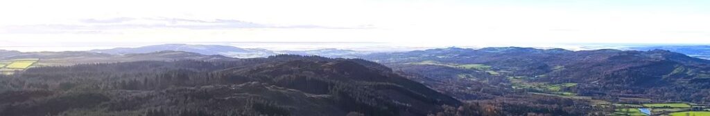
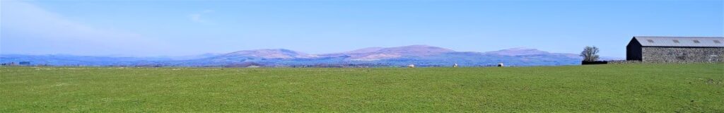
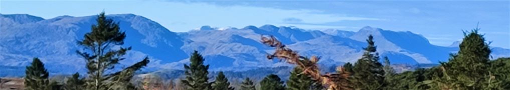
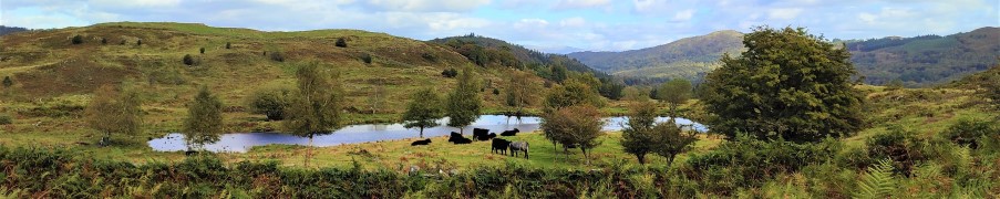
Askham

8.6 miles | 13.9 km | 317 m Ascent | 10.2 Naismith miles | Susan Badley
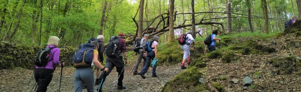
As a group, we put a huge amount of effort into researching our walks and scheduling them such that we make the most of the seasons. That diligent planning ensures that when we set out for the Levens Estuary (as we had always planned for this day), we do so safe in the knowledge that we will be enjoying the mid-august sunshine in complete safety.
Sometimes though, the weather doesn’t match our plan, and we find ourselves facing flood warnings on the route we had chosen: We are lucky that our walk leaders have an encyclopaedic knowledge of the area and can create a fresh walk out of thin air at short notice. This walk therefore is just such a piece of magic – a reprise of one that we did a few years ago which feels just as fresh and well prepared as usual. Keep checking the website to see whether we re-run the Spark Bridge and Levens Estuary walk, but in the meanwhile enjoy this excellent alternative.

Askham Read More »

School Knott and Orrest Head

7.2 miles | 11.6 km | 368 m Ascent | 9.0 Naismith miles | Susan Badley
A quick glance at our website shows how much we like the fells to the East of Windermere – not only are they easy to get to from Bentham, but they are less crowded than some other Lake District destinations and offer some stunning views. This walk adds to our portfolio and starts from Ings where there is convenient parking.
We head toward Windermere via the viewpoint at School Knott, and then re-cross the railway and the A591 to find a route up Orrest Head via Common Wood.
We carry on heading north until we get to Far Orrest, then on to Town End via footbridges over Trout Beck. Finally, we return to the A591 near the Brockhole visitor centre, where we catch a bus back to Ings.

School Knott and Orrest Head Read More »

Gummer’s How and Cartmel Fell

8.9 miles | 14.3km | 467 m Ascent | 11.2 Naismith miles | Susan Badley
The Bentham Footpath Group typically undertakes about 50 walks each year. Given where we live, many of these will be in the rain or have poor visibility. Sometimes though we are spectacularly lucky with the weather and get to enjoy simply stunning views, and this walk was just such an occasion.
If you follow this route, you may or may not be so lucky, but whatever the weather, this will always be a great walk: We start from a free and convenient parking spot, climb up to one of the best views of Windermere, sharing the How with Luing cattle. We then head over to Sow How Tarn, clip the edge of Middle Tarn, and then go via Heights Cottage onto Ravens Barrow, and a curious monument. From there we visit a lovely ancient church and old schoolhouse, and through fungi-rich woodland to Thorphinsty Hall, through Crag Wood and up to an atmospheric derelict farmhouse en-route to Simpson Ground. We round the day off with a tranquil reservoir, and more woodland with lovely gnarled old trees. A perfect day.

Gummer’s How and Cartmel Fell Read More »

Furnessford & Hindburn Bridges

8.5 miles | 13.6 km | 361 m Ascent | 10.3 Naismith miles | Susan Badley
Bentham Footpath Group Walks generally start within an hour’s drive of Bentham – there is so much wonderful walking country within that radius that we are always spoiled for choice. This excellent walk – aided by near perfect weather – highlights the fact that Bentham itself is a great place to start a walk.
We start in low Bentham and cross the Wenning at the pedestrian bridge were the Silk Mills once stood, and then head up Mill Lane as far as Kirkbeck where we take paths across fields to Mewith lane and then across to Spens Farm.
We cross the Hindburn for the first time at Furnessford Bridge, and then head over to Cragg Hall, before descending back to the river to cross at Hindburn Bridge. From there we head up to Mealbank and take paths across fields to follow the Wenning Valley upstream with great views across to Ingleborough and Whernside along the way. Passing Robert Hall, we head down Eskew Lane and back to Low Bentham.

Furnessford & Hindburn Bridges Read More »

Lord’s Lot

7.2 miles | 11.5 km | 411m Ascent | 9.2 Naismith miles | Susan Badley
Lord’s Lot is a modest hill in South Lakeland offering tremendous views of the Lakeland peaks to the Northwest and the Howgills to the Northeast. Despite being only a few miles from Windermere this area is refreshingly quiet – the group met no other walkers during our walk despite the near perfect conditions.
This circular walk is classed as easy because it’s below our 12km threshold, but you should be aware that there is some climbing up to Lord’s Lot, and that the paths can be muddy in winter. The views make all this worthwhile though, and if you pick a spring day to do this walk, you can also enjoy the spectacular white blossom that the countless damson orchards in the area produce.

Lord’s Lot Read More »

Backbarrow and Bigland tarn

9.6 miles | 15.4 km | 530 m Ascent | 12.2 Naismith miles | Susan Badley
The Cartmel Peninsula is a popular starting point for walks, and it features in a number of BFG routes.
This circular walk starts at Low Woods near the River Leven just South of Haverthwaite, then tracks up the valley to Backbarrow. We cross the Fell to Hazelrigg and work South to Seatle. From there we walk through woodland to High Cark, and cross Seatle Plantation to visit Bigland Tarn before working down steepish woodland paths back to our start.
This is quite a long walk, so we list it as challenging, but there are no particularly steep climbs nor difficult terrain, and the views toward Windermere and the Southern Lakeland Fells pay dividends, so if this is slightly longer than your normal limit, it’s still worthy of consideration.

Backbarrow and Bigland tarn Read More »

Bouth

9.8 miles | 15.8 km | 665 m Ascent | 12.1 Naismith miles | Susan Badley
Starting from a convenient and little-used layby on the A590 at Pool Foot, we head upstream to the village of Bouth. From there we enter Old Hall Woods and head over to Colton before taking a path North to Oxen Park.
We then pick up a woodland route over to Whitestock Hall before a short section on-road brings us to Hulleter. Excellent views across the Rusland Valley and Rusland Moss National Nature Reserve are enjoyed through this section of the walk.
At Hay Bridge we enter the nature reserve with its tranquil tarns, before heading over to Moss Wood. This track brings us back to Bouth, but rather than returning exactly as we started, we now turn right and head toward the woodland at Ashes Intake. We divert back to the causeway south of Bouth before retracing our steps back to the start

Bouth Read More »

Lancaster: City and Country

6.6 miles | 10.6 km | 319 m Ascent | 8.2 Naismith miles | Susan Badley
Walking from a city centre is unusual for The Bentham Footpath Group. This interesting walk starts in Lancaster city centre and takes the Lancaster Canal South to the Fairfield Nature Reserve, where we loop round the “Fauna”, “Flora” and community orchard areas to arrive back at the canal.
We then head through Aldcliffe to the Lune estuary and the Lancashire Coastal Way, before returning via Freemans Woods to the city centre.
Good views of the Priory and Castle end this refreshing walk.

Lancaster: City and Country Read More »