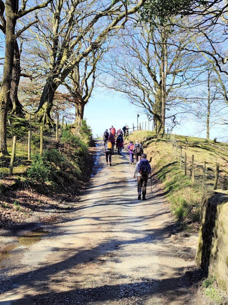
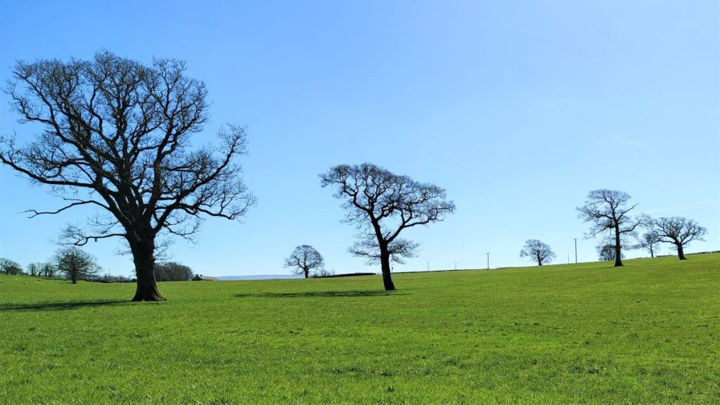
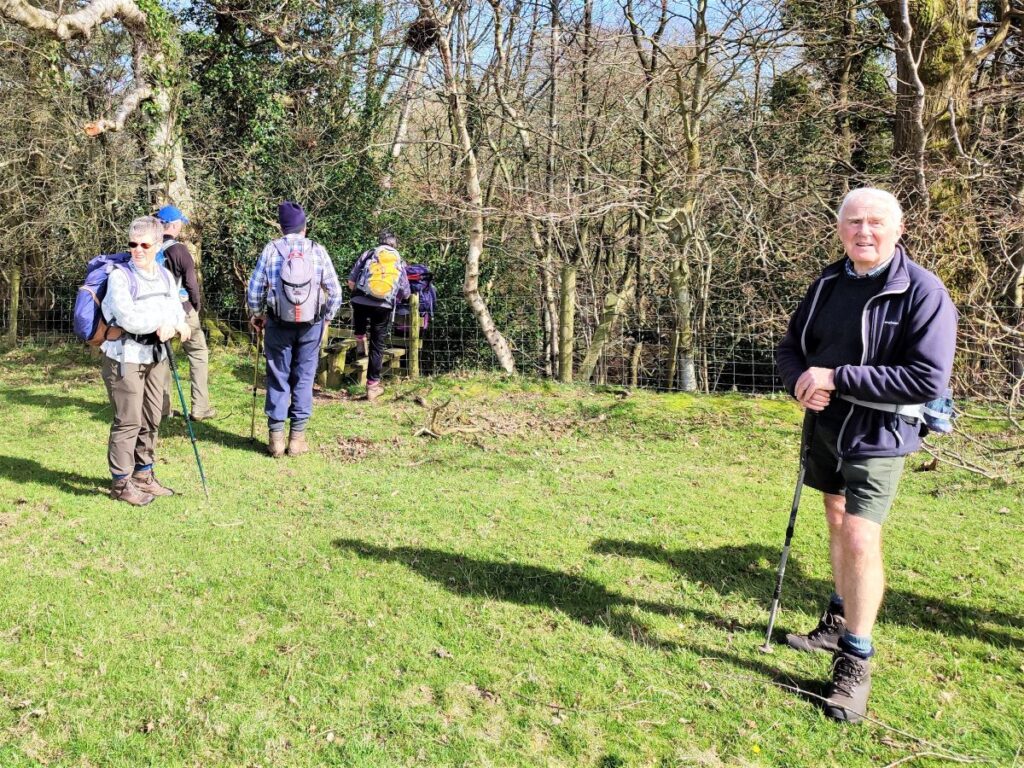
Bentham Footpath Group Walks generally start within an hour’s drive of Bentham – there is so much wonderful walking country within that radius that we are always spoiled for choice. This excellent walk – aided by near perfect weather – highlights the fact that Bentham itself is a great place to start a walk.
We start in low Bentham and cross the Wenning at the pedestrian bridge were the Silk Mills once stood, and then head up Mill Lane as far as Kirkbeck where we take paths across fields to Mewith lane and then across to Spens Farm.
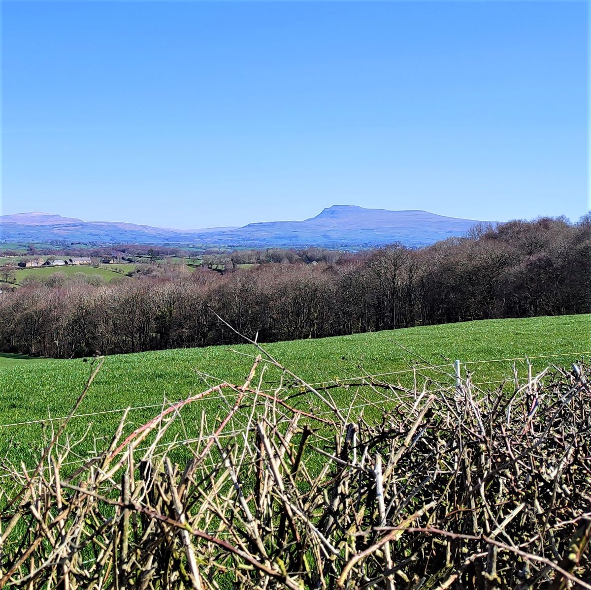
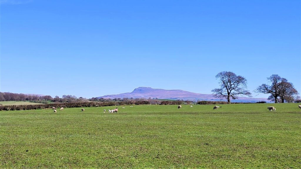
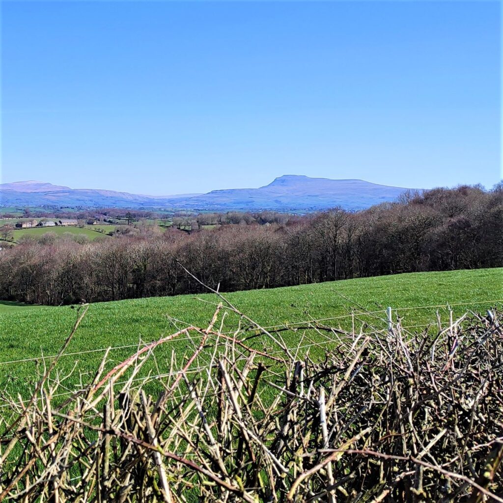
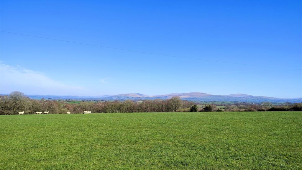
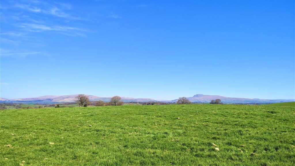
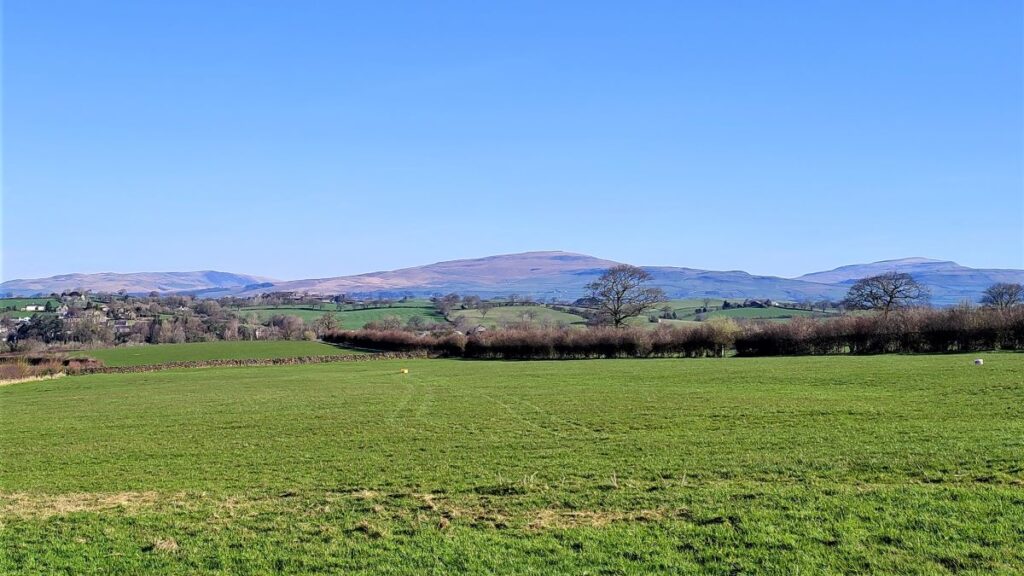
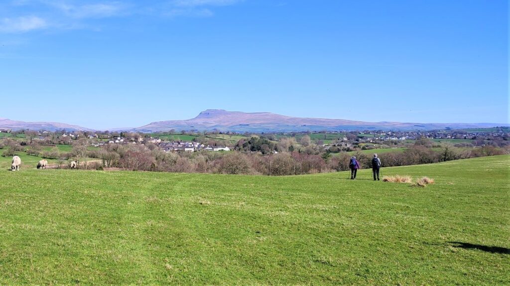
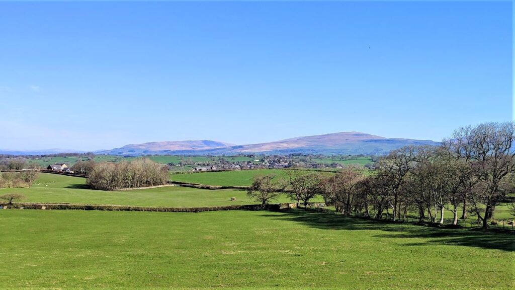
We cross the Hindburn for the first time at Furnessford Bridge, and then head over to Cragg Hall, before descending back to the river to cross at Hindburn Bridge. From there we head up to Mealbank and take paths across fields to follow the Wenning Valley upstream with great views across to Ingleborough and Whernside along the way. Passing Robert Hall, we head down Eskew Lane and back to Low Bentham.
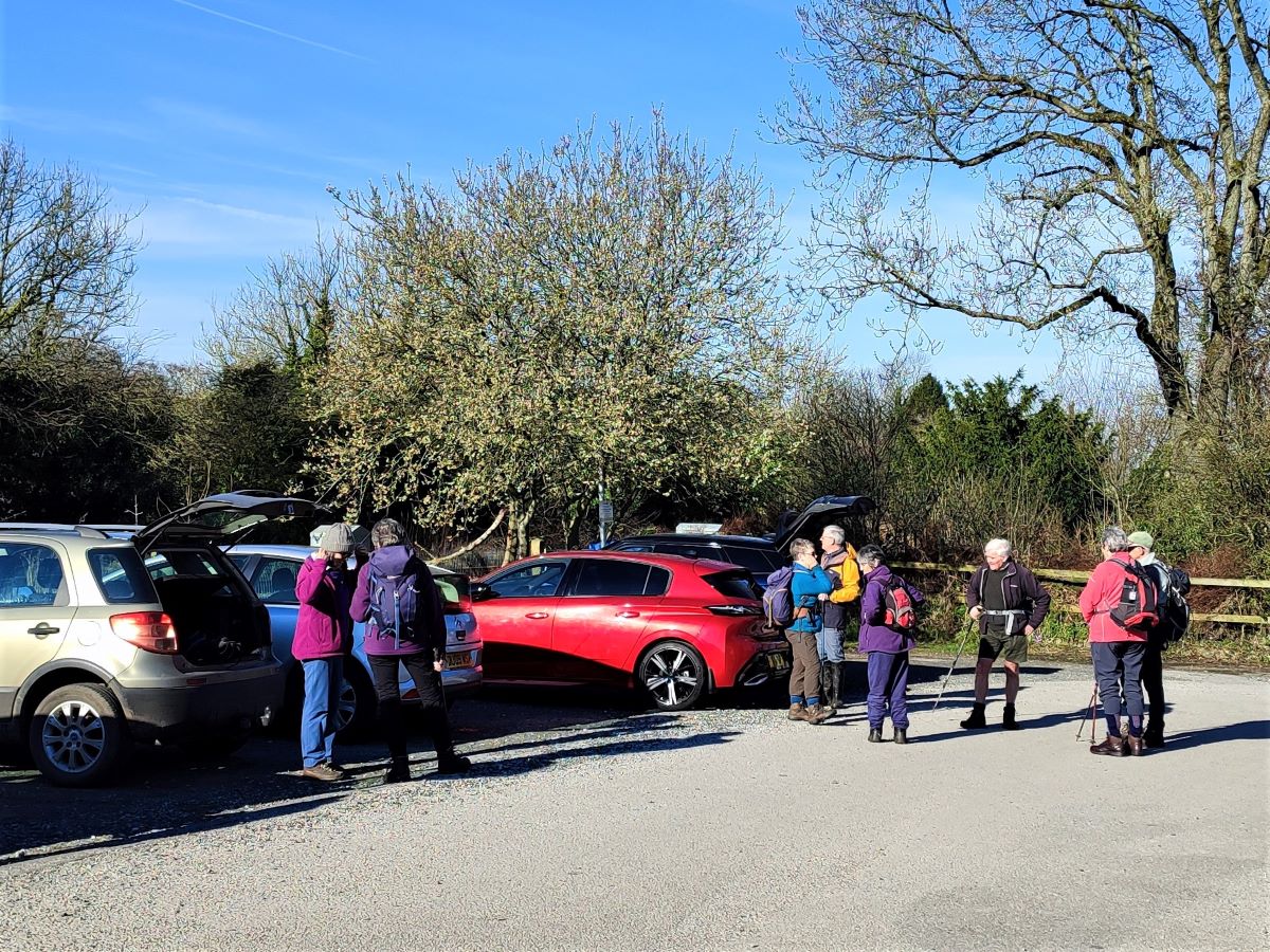
The start of the walk is at the free car park in Low Bentham – it’s clearly signposted off Main Street, just uphill from the Victoria Institute. If you are not from Bentham, and need to use Satnav to find it, then enter the address as The Sidings, Low Bentham or use What-3-Words tag drizzly.leopard.plays. The OS Grid reference is SD65060 69337.
We begin by exiting the car park and heading downhill into Low Bentham where we take the walkway on the left opposite the Sun Dial which goes under the railway bridge and toward the River Wenning.
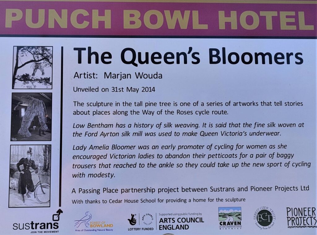
Once we are under the railway bridge we take the path round to the right and over the pedestrian bridge toward the housing that sits on the site of the Silk Mills for which Bentham was once famous. Seeing the housing now, it is difficult to image this as an industrial site – despite the fact that when the houses and flats were built much of the stone from the mills was sympathetically re-used. The overall shape of the old mills in both High and Low Bentham can be seen in a you tube video by clicking here.
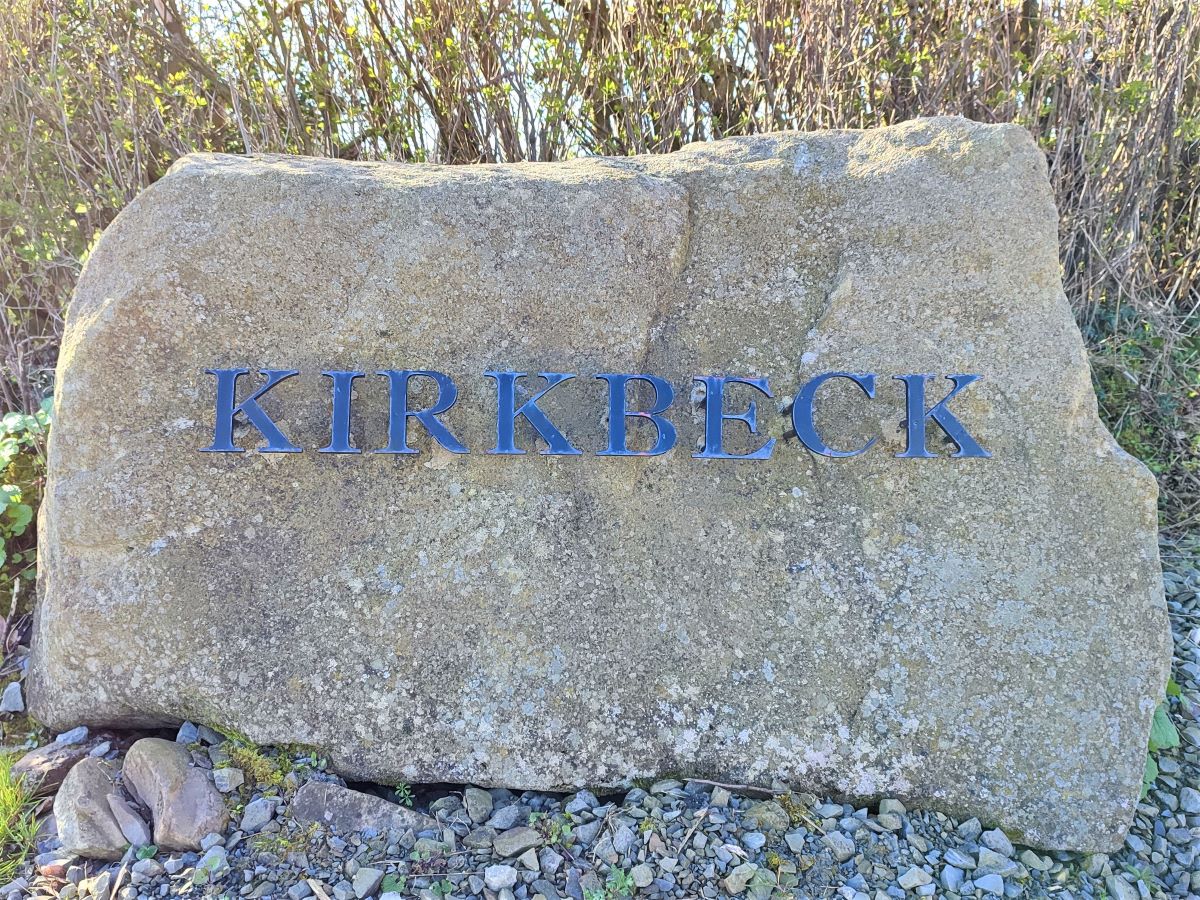
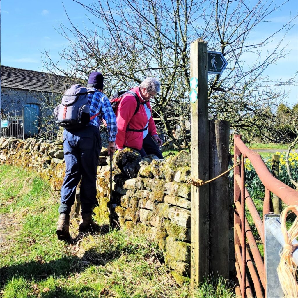
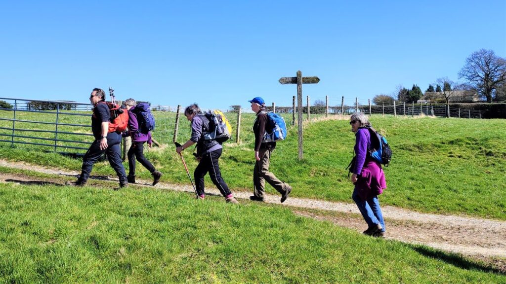
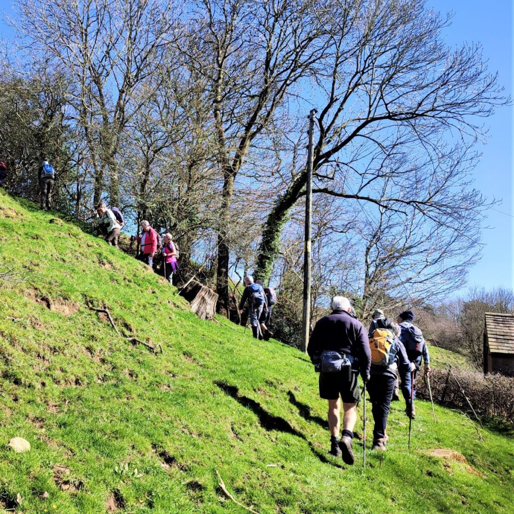
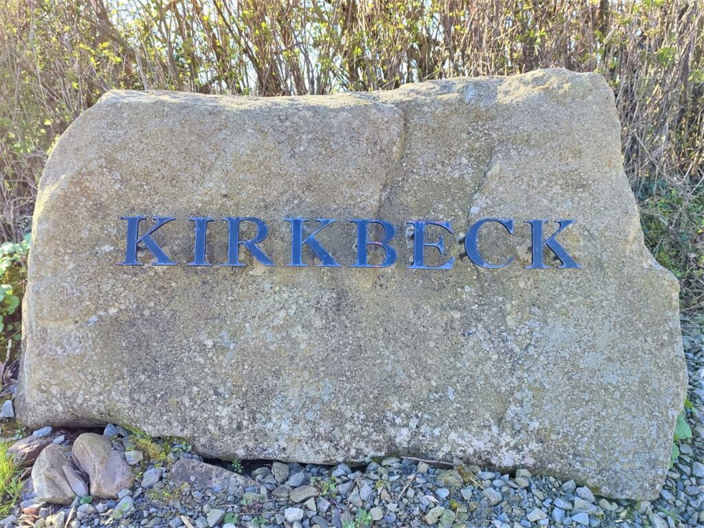
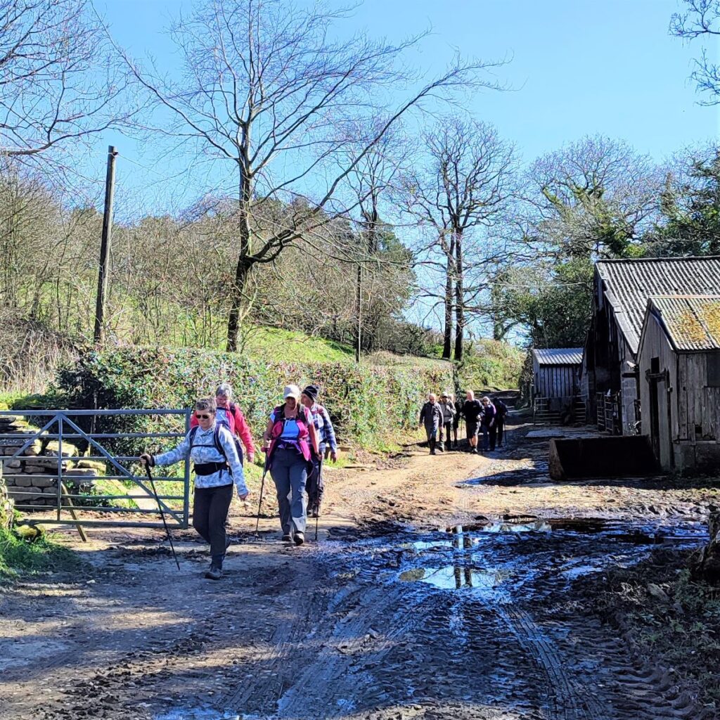
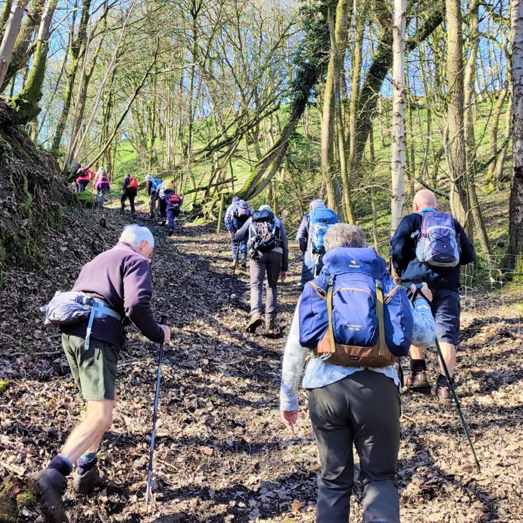
After the bridge we walk between the flats to pick up Mill Lane where we head left, walking uphill along the road. We get a glimpse of the weir and fish ladder in the River Wenning over to our left as we pass Cloudsbank, and then continue up Mill Lane until we see the entrance for Kirkbeck on the right. Here we go right and follow the farm track toward the farm buildings.
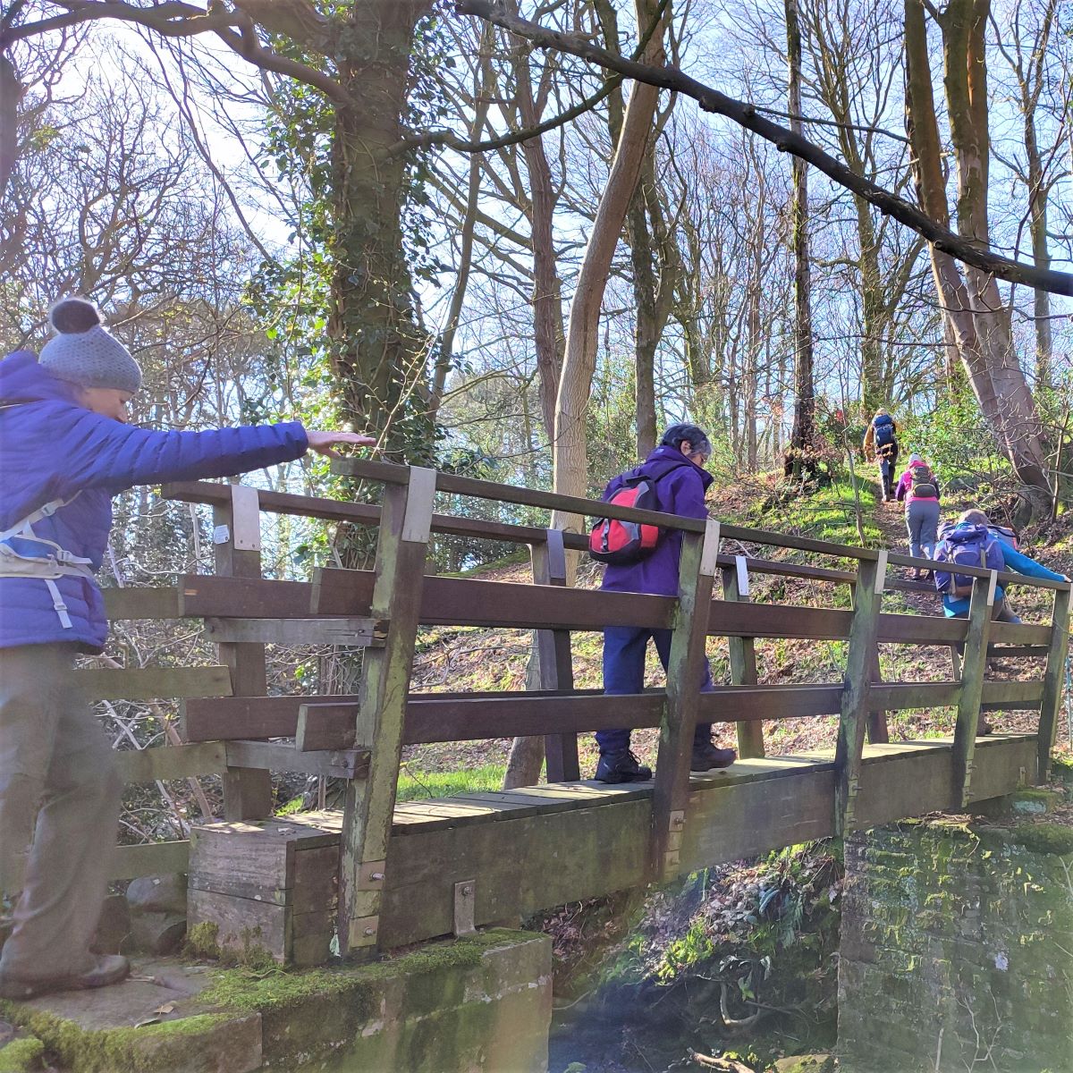
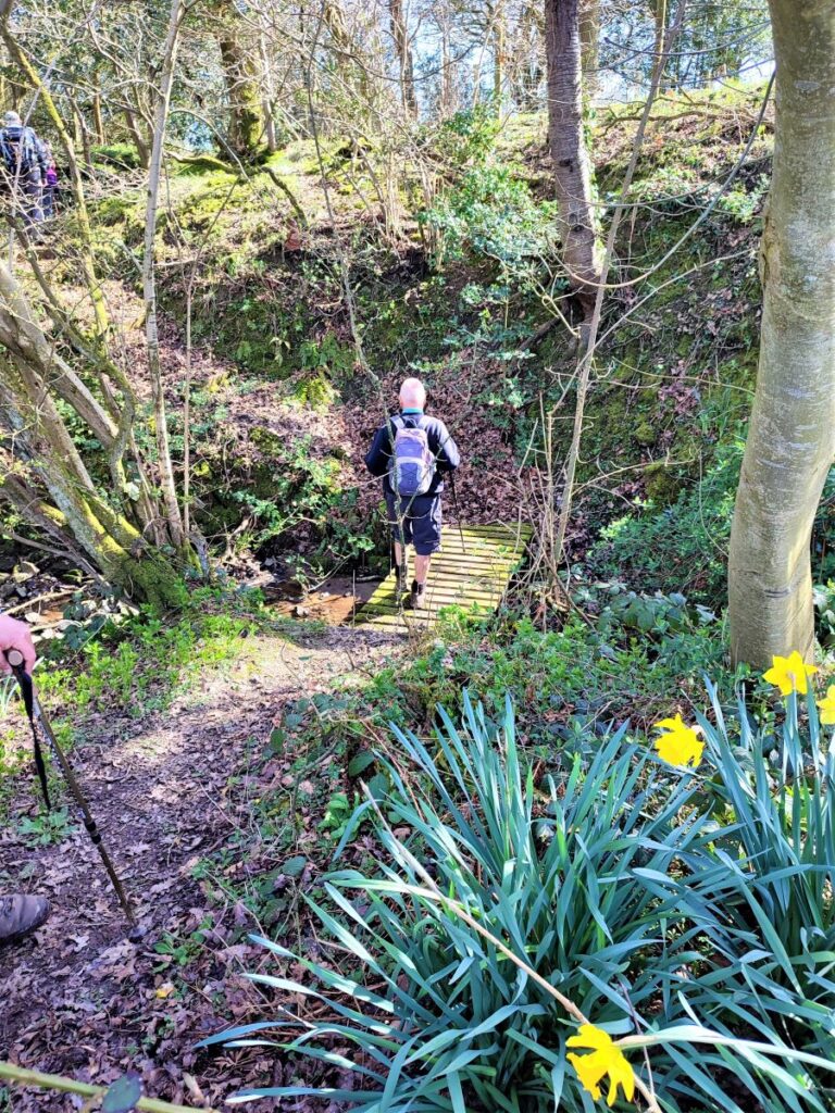
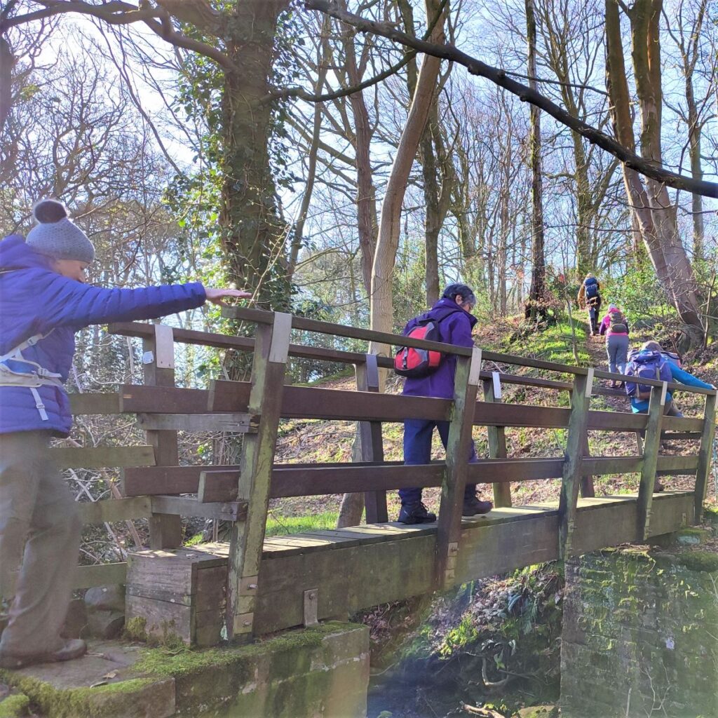
Once we get to the farm , there is a little confusion as to the best route: The OS map shows the path going between farm buildings, but the reality on the ground is that you need to head diagonally right as you approach the farm to find a footbridge over Eskew Beck at the bottom of the small valley just beyond the farm.
After the footbridge the path continues steeply uphill before flattening out and following a field boundary up to a stile where we cross onto Mewith Lane.
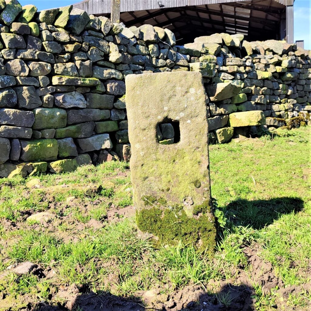
At the stile we head right along the road, but just to the left is the boundary between the ancient counties of Lancashire and Yorkshire, so although the beck is called Eskew Beck further downstream, it’s referred to as County Beck where the road crosses it at County Bridge – an old boundary stone marks the site of the county line.
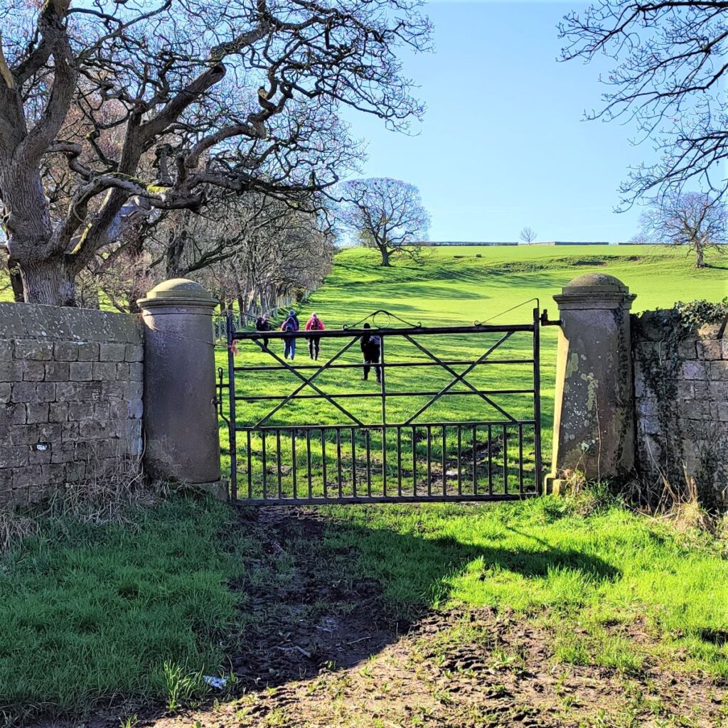
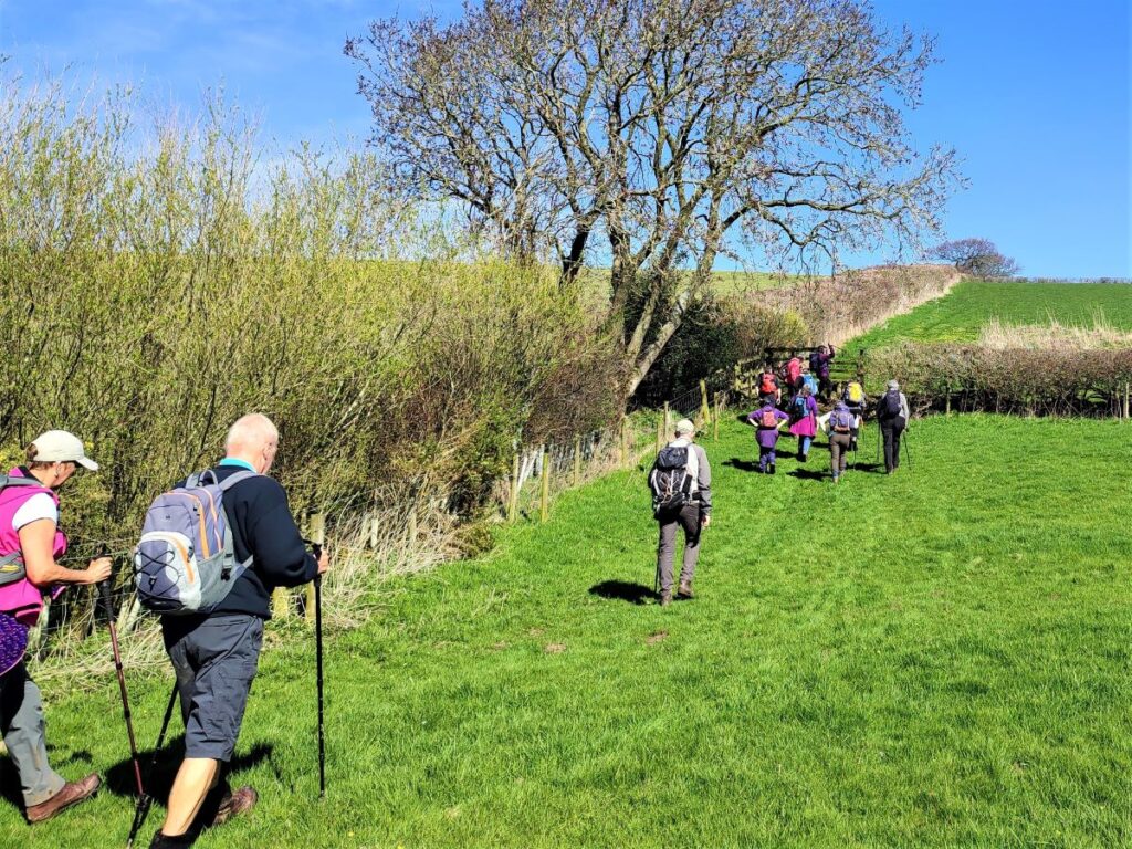
We walk down Mewith Lane for a little while now, the road is quiet, and we are not on it for long. Our next landmark is a junction where Cross Road comes in from the right, we keep to the left – still on Mewith Lane – and look for a Public Footpath sign on the left. This is just beyond a set of grand gates that rather curiously open onto the field beyond but with no trace of a road or path that the gates would have served.
The path now heads uphill, keeping to the side of the field at first and then heading right toward a farmhouse at Hill House.
As we approach the farmhouse we see the path continuing along a well made track which runs between the farmhouse and the barns to it’s right. We follow this track for a while, with a right-left dogleg part way along, passing an attractive dwelling before we arrive at a minor road. This is Spen Brow, and the house at the road is Spen Lodge.
Our route today crosses the road and continues on the far side to head down toward Spen Gill Wood. If you were to head left at the road though, you would pass a disused quarry on the right and then find yourself on the course of a Roman Road – this continues (off the modern road) through Lowgill, and could be well worth exploring.
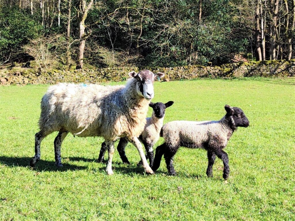
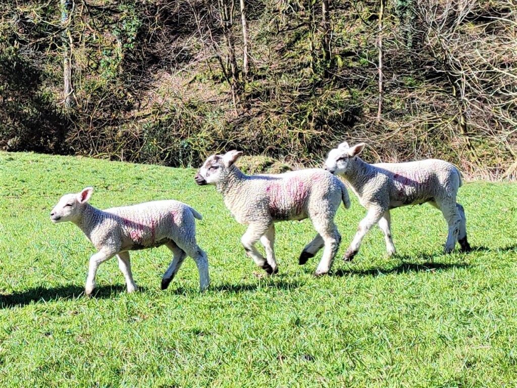
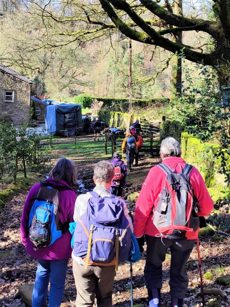
We continue downhill toward Spen Gill Wood, and follow the tree line down to the very attractive houses at Spen Gill Farm. We turn right on the access road and through a flat field – filled with ewes and recent lambs during our Spring walk – and then down to the exit via a cattlegrid onto a minor road.
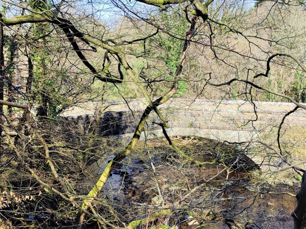
We head left on this road, called Furnessford Road, and over the bridge – Furnessford bridge.
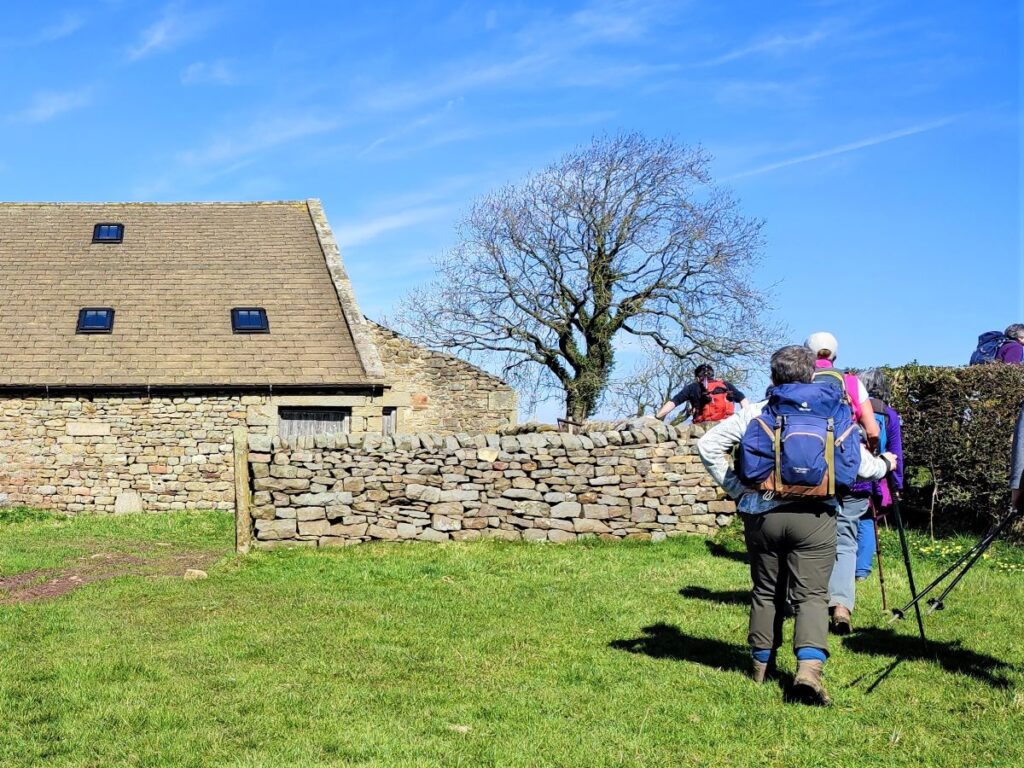
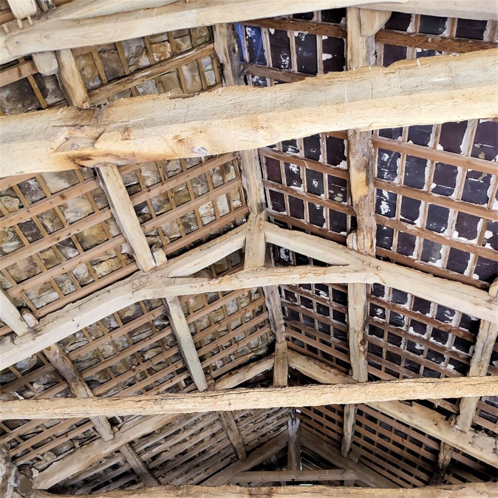
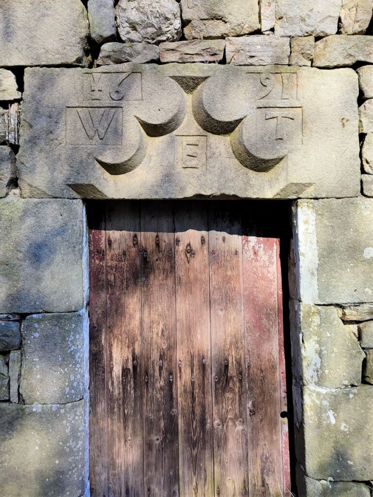
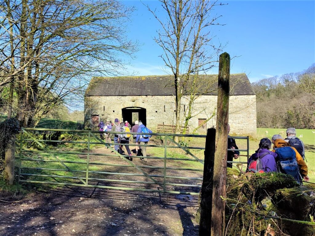
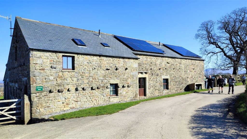
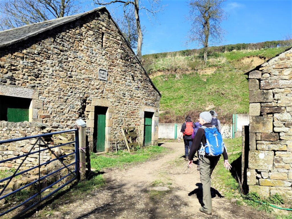
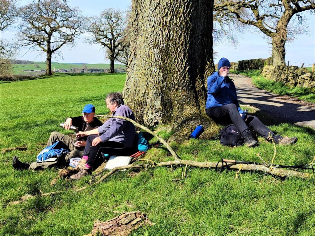
Just beyond the bridge, we see a footpath sign on the right, and we take this to enter a field where a wonderfully atmospheric barn sits. This is a grade II listed building dating to 1691. It is constructed of Sandstone and Limestone rubble with a roof of slate at left and stone flags to the right. South-east wall has breathers and a wide entrance via a segmented arch. At the left is a pedestrian door with a well finished chamfered surround and a carved lintel inscribed: ‘1691 WET’ – this construction would have required expensive masonry skills and is somewhat out of keeping with a humble agricultural use, so the barn was clearly a matter of great pride when built.
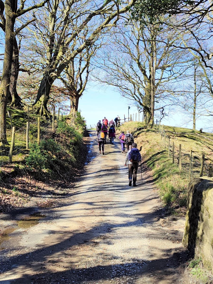
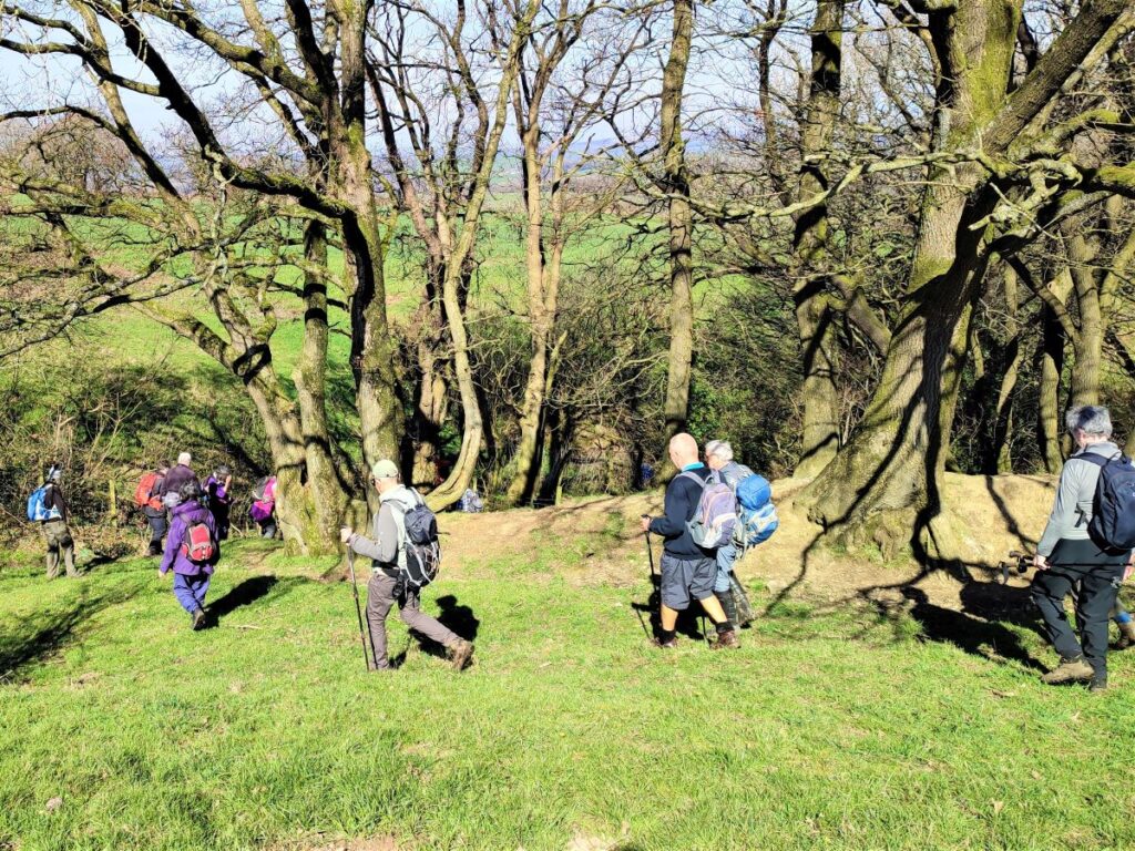
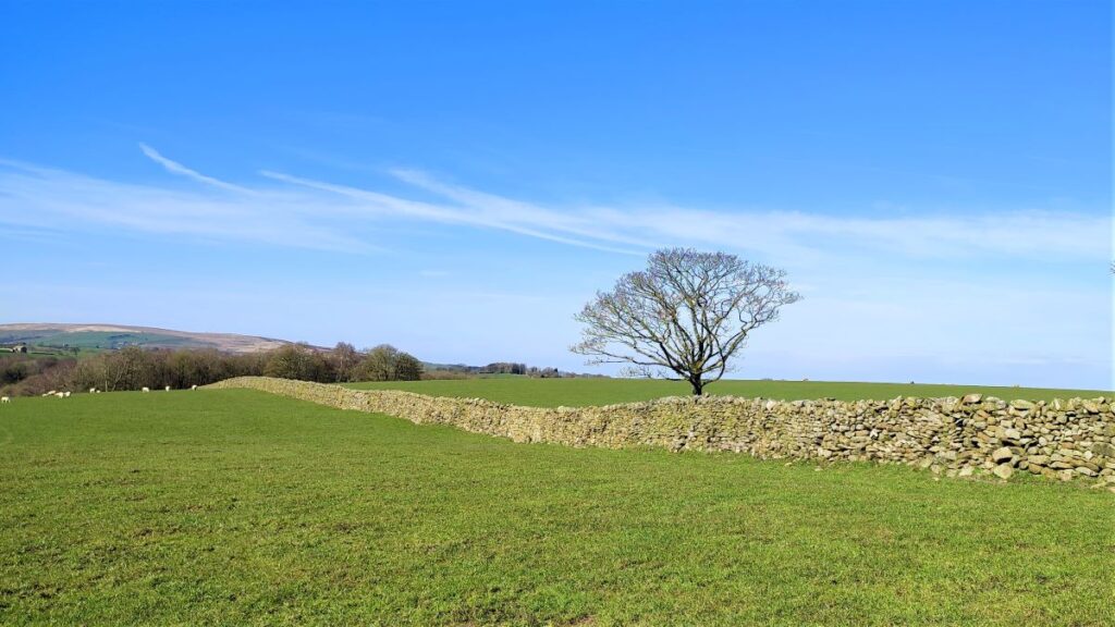
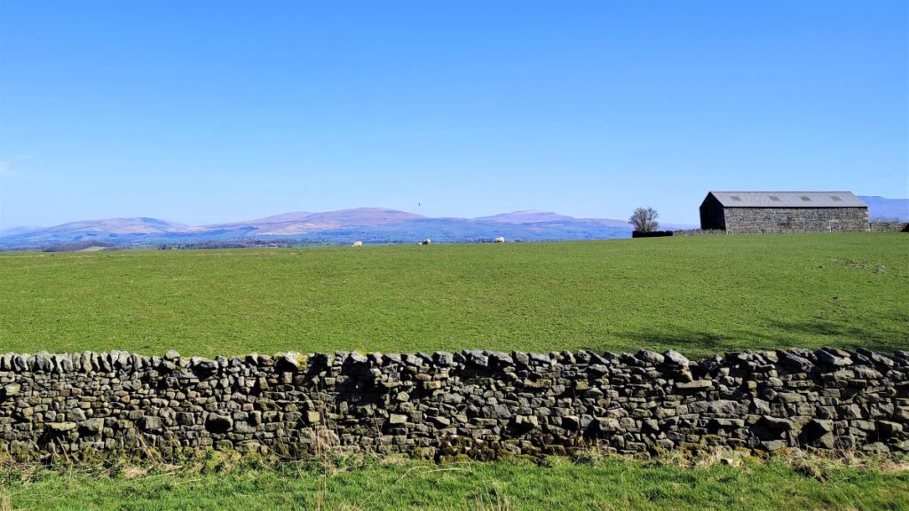
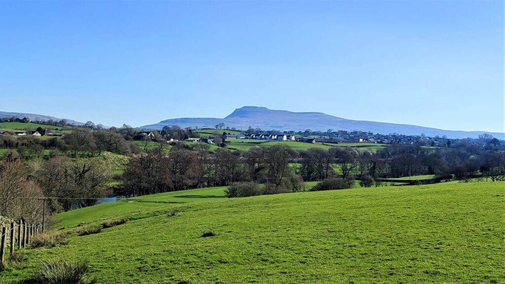
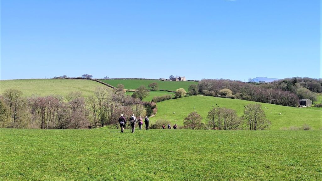
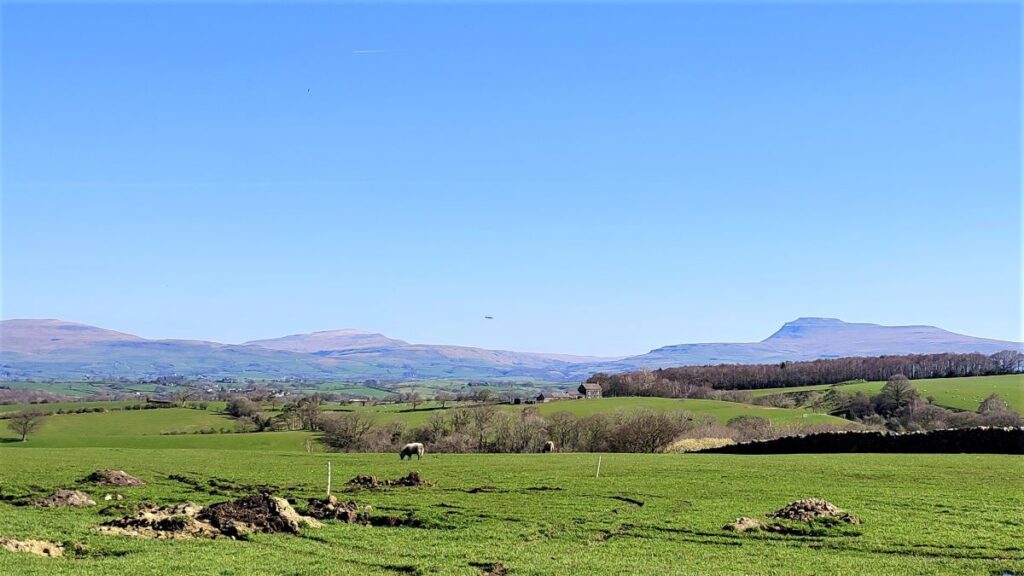
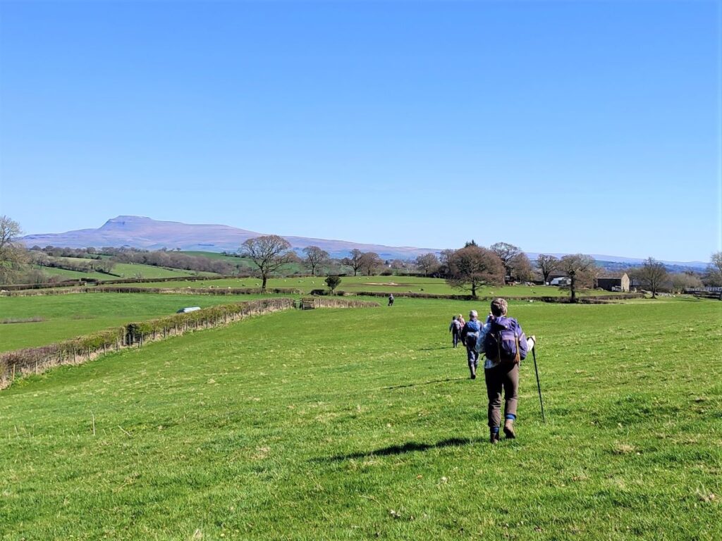
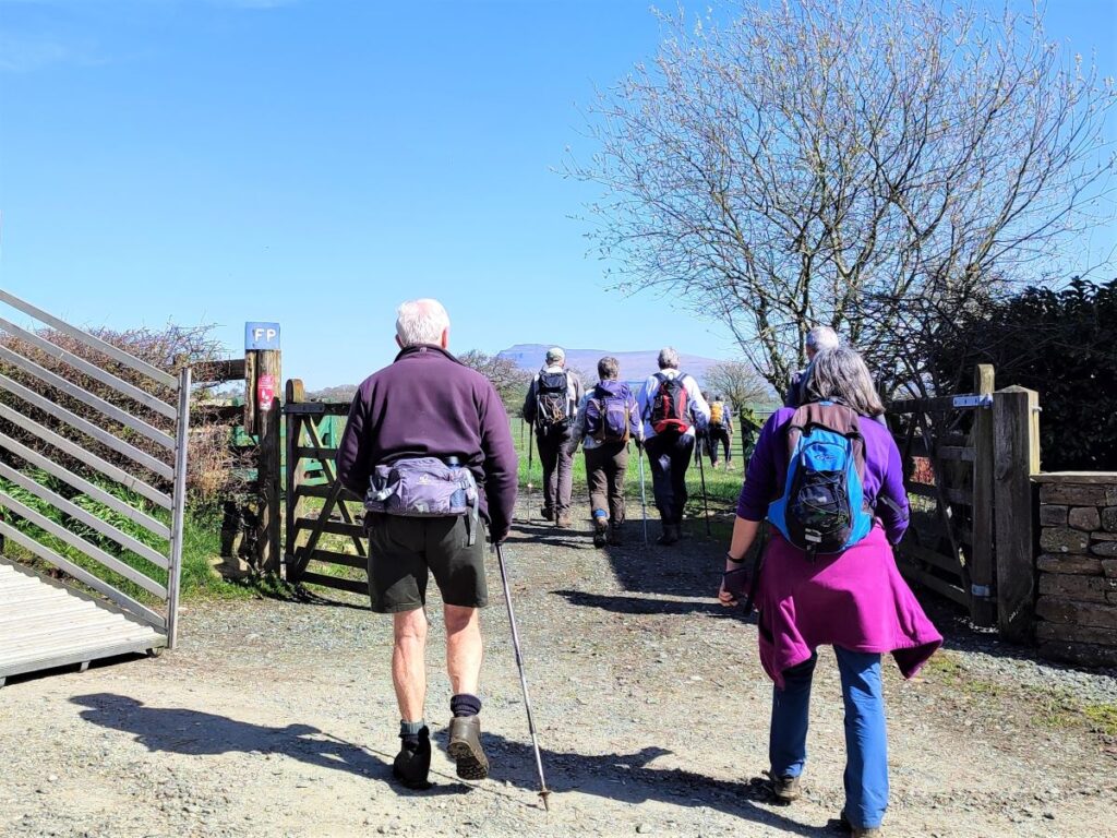
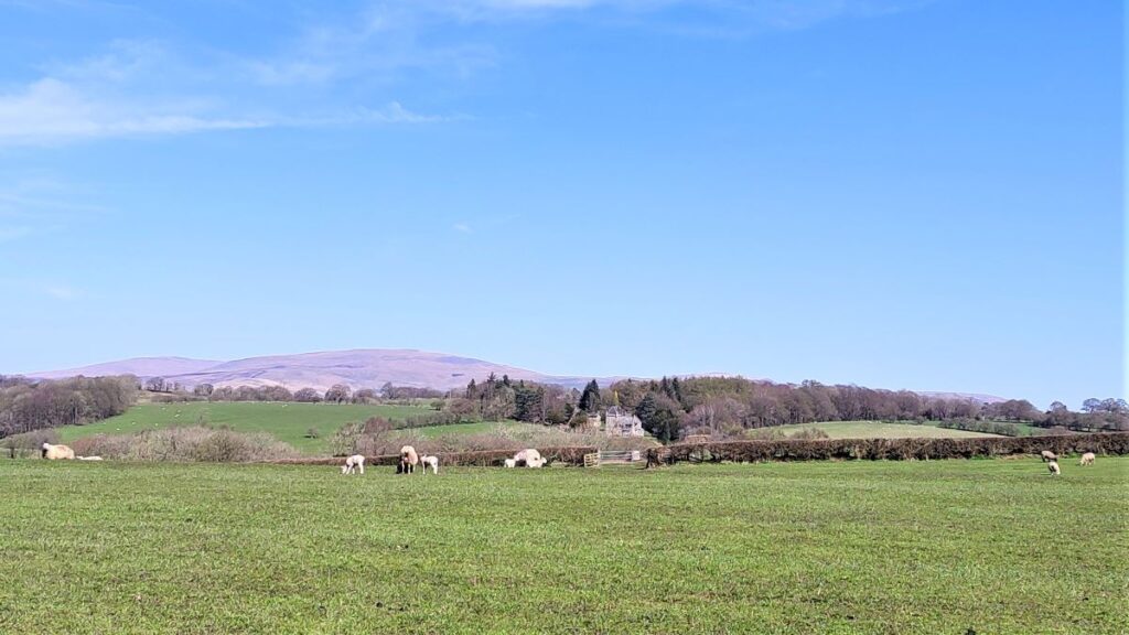
After taking a brief rest at the barn, we head uphill through Birks Wood to find a minor road at Birks Farm. We head right at the farm and walk along the very quiet road for a while, enjoying views over the Wenning Valley to Ingleborough, Whernside, and as far as the Lake District Fells if the weather is good.
The road passes a barn similar to the one we passed earlier and then heads toward Cragg Hall – on the left of the road. This is another grade II listed building, which according to the listed buildings register at Historic England dates to 1693, but possibly includes earlier structures.
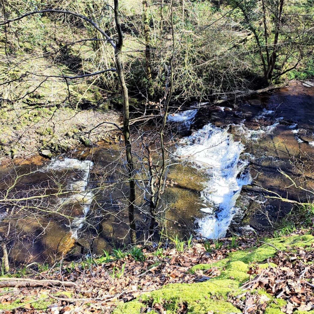
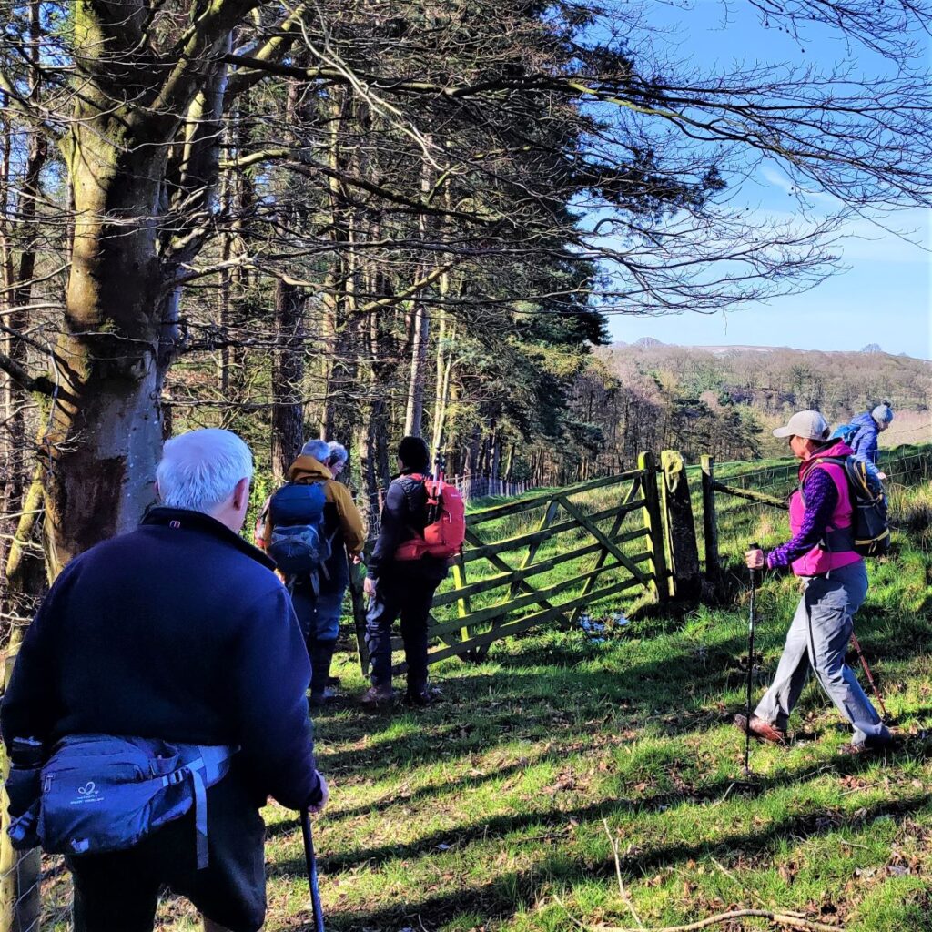
At Cragg Hall, the road turns sharp left, and as it does so, we see a marked path leaving the road on the right, passing a modern bungalow, and heading across the field toward woodland. Here the path crosses a small beck – badly polluted with agricultural runoff unfortunately – to continue around the perimeter of a wheat field before coming back to the road.
We re-join the road at a ninety degree bend, and we have no need to change direction – the road is in effect and extension of the track we were already on. So, we walk along the road for a while until we see it dip down to cross a beck, and then rise steeply on the far side.
We look out for a stile on the right hand side of the road which takes the path along the right hand boundary of the field and then diagonally across the next, to approach a farm.
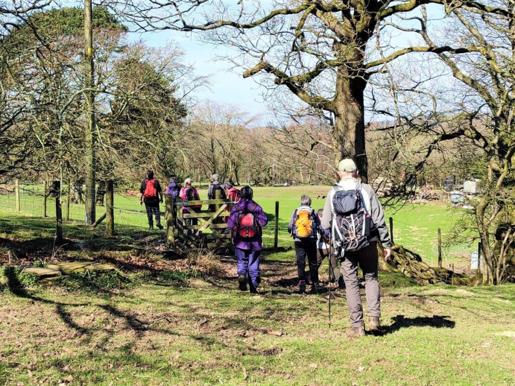
We make sure we keep to the left of the farm, and soon see a stile onto the farm track which we follow downhill. We are now back at the River Hindburn, and as we follow the track down we see Hindburn Bridge come into view.
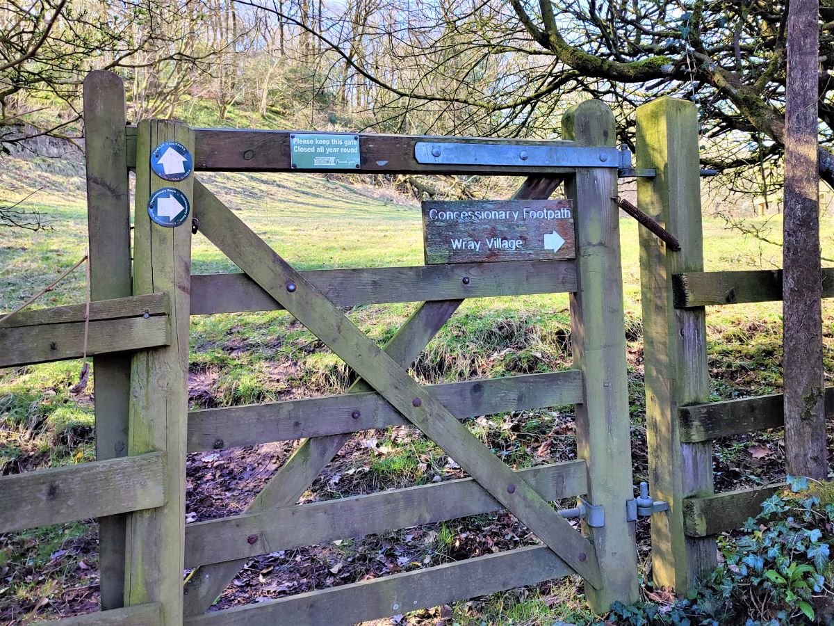
Our route today crosses the bridge and heads back to Low Bentham, but note the gate just before you cross the bridge: This offers a couple of routes over to Wray – an interesting village with excellent tea rooms that could be added to this walk.
After crossing the Hindburn Bridge, look for the footpath on the left – it follows a farm access lane downstream along the Hindburn for a little while There is a second path coming in across the fields – this is not our route.
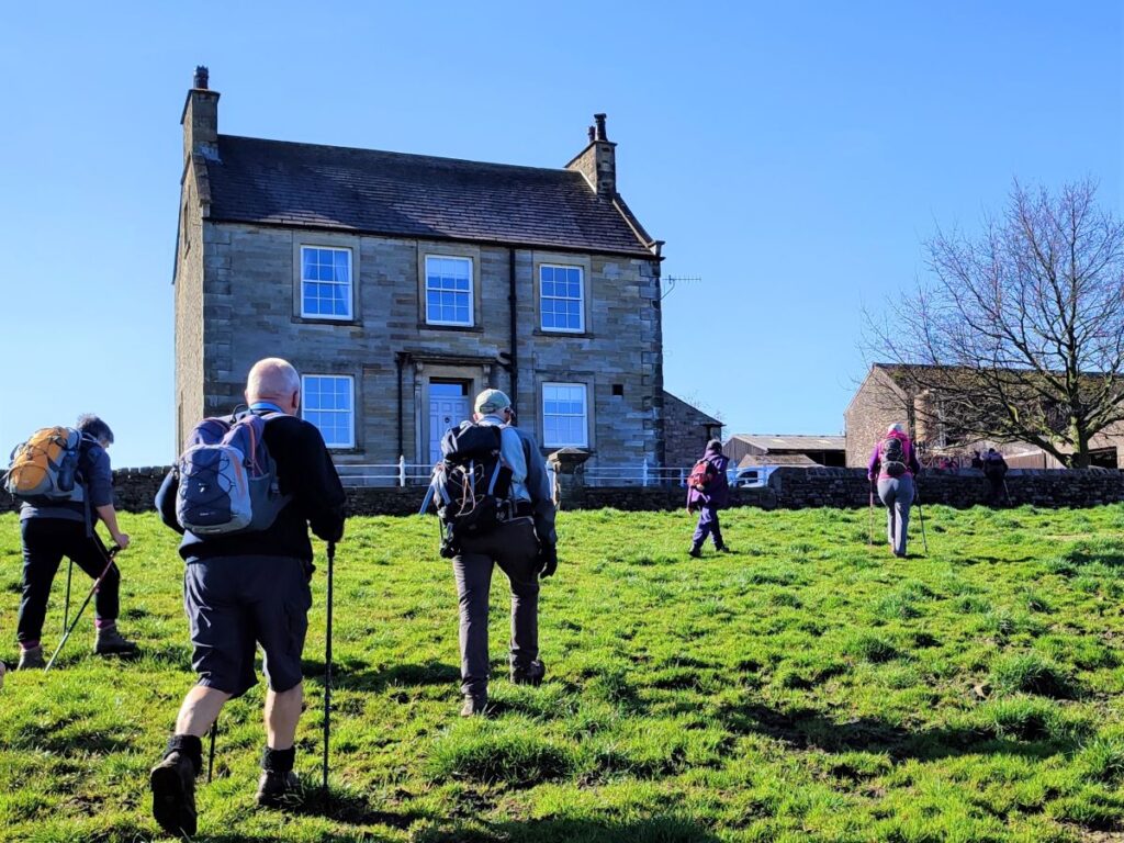
We continue until we arrive at the farm and walk between the buildings and round the back of the farmhouse. At this point we see a path waymarked on the right taking us steeply uphill, and then across fields to Mealbank, and another farm. The path emerges between farm buildings onto a minor road and we turn left and almost immediately see a way marker and a stile such that we leave the road and continue Northeast across the fields.
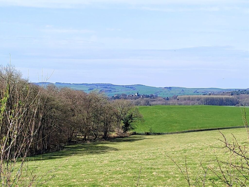
At this point it is worth starting to look to the left for views over to Hornby Castle, a country house, developed from a medieval castle, standing to the east of the village of Hornby in the Lune Valley. It occupies a position overlooking the village in a curve of the River Wenning where the Hindburn that we have been following today enters the Wenning. The house is recorded in the National Heritage List for England as a designated Grade I listed building.
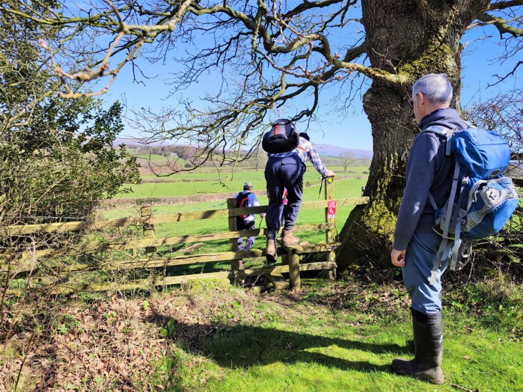
After leaving the road we cross a series of fields at stiles, and as we emerge from the third stile – quite well hidden in a small depression where a beck runs – we need to make sure we bear slightly to the left and the top corner of Tatham Park Woods. (There is another path heading right which is not part of our route today).
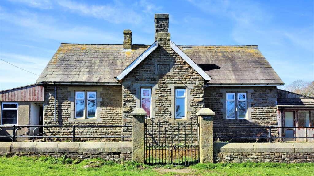
We continue heading Northeast crossing field boundaries at stiles, until we crest the hill and start to descend, seeing the old school house of Tatham Church of England School dating from 1876.
This was one of two schools operating in Tatham – for lots of interesting local history about the schools and Tatham in general, there is a great website run by Tatham History Society: click hereto visit.
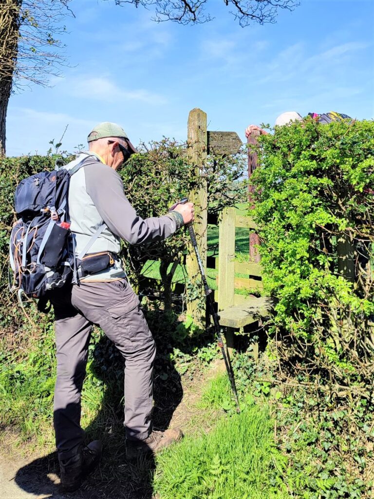
Just beyond the school, we meet a minor road where we turn right and head up to the next farm where we see a track on the left taking us to a stile to the right of a converted barn. The path from here forks – we need to keep hard right so that from the stile we head out Eastward. In practice the path we are taking is the more commonly used so the route should be clear.
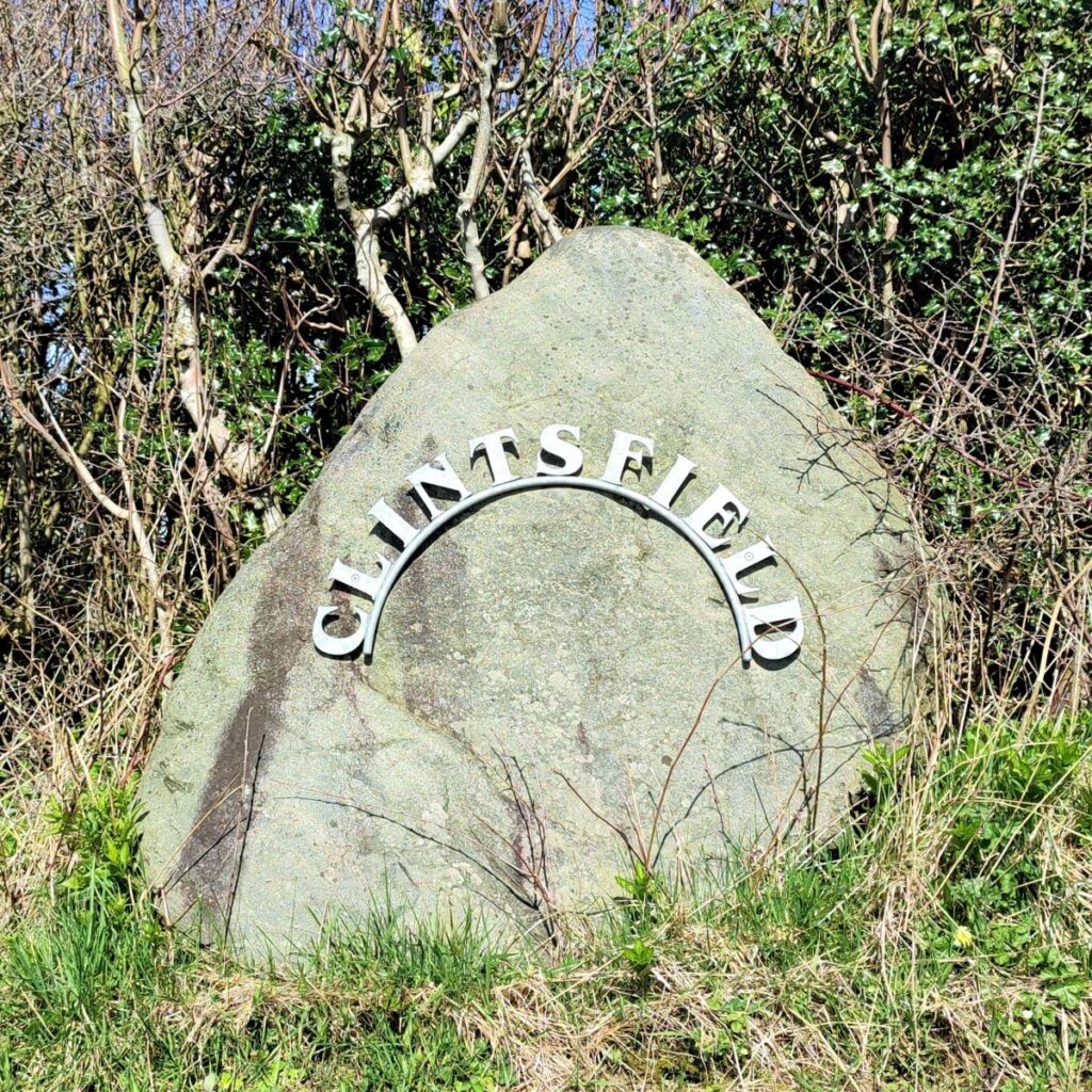
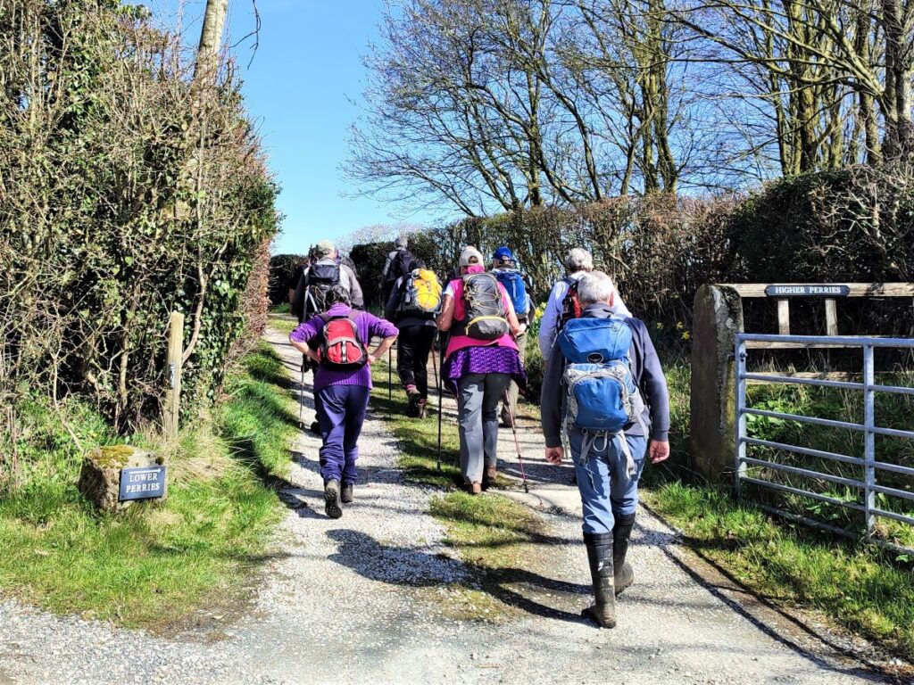
The path heads toward a minor road at Higher Perries, and when we reach the road we turn right to walk along the road for a short while until we reach the track to Clintsfield – there is a marker stone with an ornate metalwork name plate.
From here we walk up the track between signs that refer to Lower Perries (on our left) and Higher Perries (on our right). Just past the buildings at Higher Perries, we notice a stile on the right and take this to connect with a path over to the farm at Greenfold.
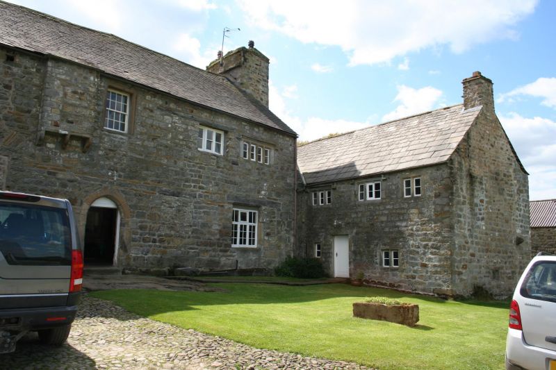
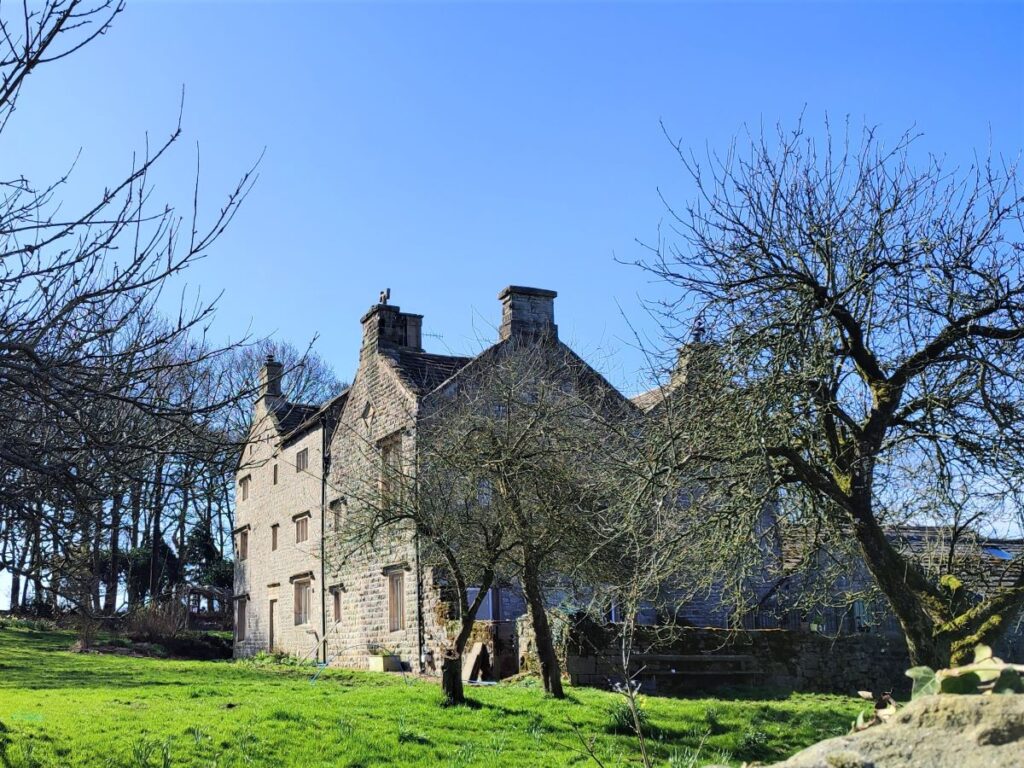
The path continues through the farm buildings and then to the right of the farmhouse – way markers are present so the route should be clear, and from here we cross a number of fields at stiles to head down to a footbridge over a beck. Climbing on the other side, we soon arrive at a flatter (but boggy) field where the path heads over to Robert Hall, a grade II* listed building dating to the late 16th century with some early 17th century additions.
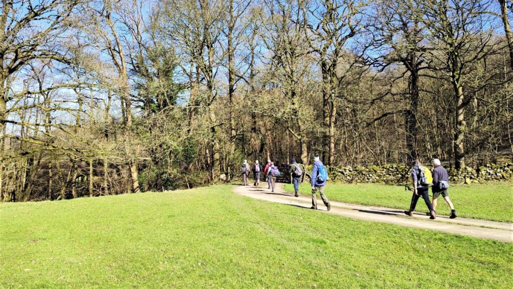
The path crosses the front of Robert Hall, and then heads out on the access lane. This would eventually arrive at Eskew Lane, which is where we are heading next, but rather than follow the farm lane all the way we take a clearly signposted path on the left which takes us down toward the woodland that lies behind the church of St John the Baptist in Low Bentham.
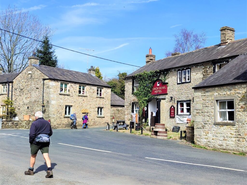
We stay with the path through the woodland, and emerge onto Eskew lane where we turn left and walk down to the Punchbowl, before heading right at the main road and back into the centre of Low Bentham where the walk ends.