Jump to . . .Step by Step | OS Map | Downloads | Gallery | Fly through
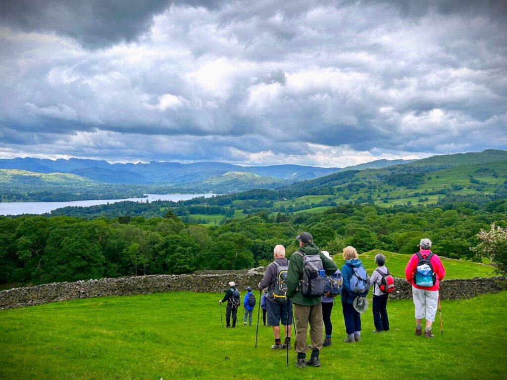
A quick glance at our website shows how much we like the fells to the East of Windermere – not only are they easy to get to from Bentham, but they are less crowded than some other Lake District destinations and offer some stunning views. This walk adds to our portfolio and starts from Ings where there is convenient parking.
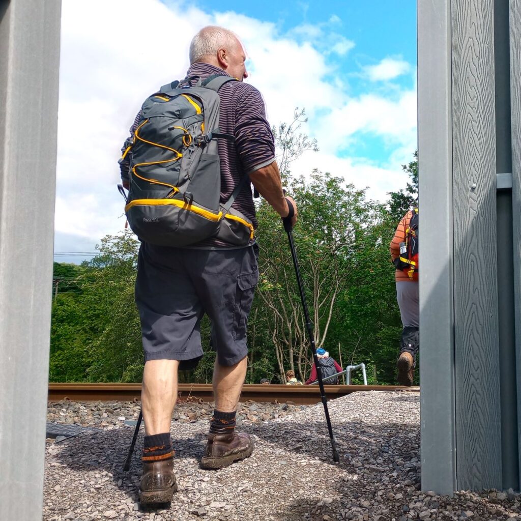
We head toward Windermere via the viewpoint at School Knott, and then re-cross the railway and the A591 to find a route up Orrest Head via Common Wood.
We carry on heading north until we get to Far Orrest, then on to Town End via footbridges over Trout Beck. Finally, we return to the A591 near the Brockhole visitor centre, where we catch a bus back to Ings.
- Total distance 11.6 km (7.2 miles)
- Total ascent 368 m
- Easy walk
Step-by-Step

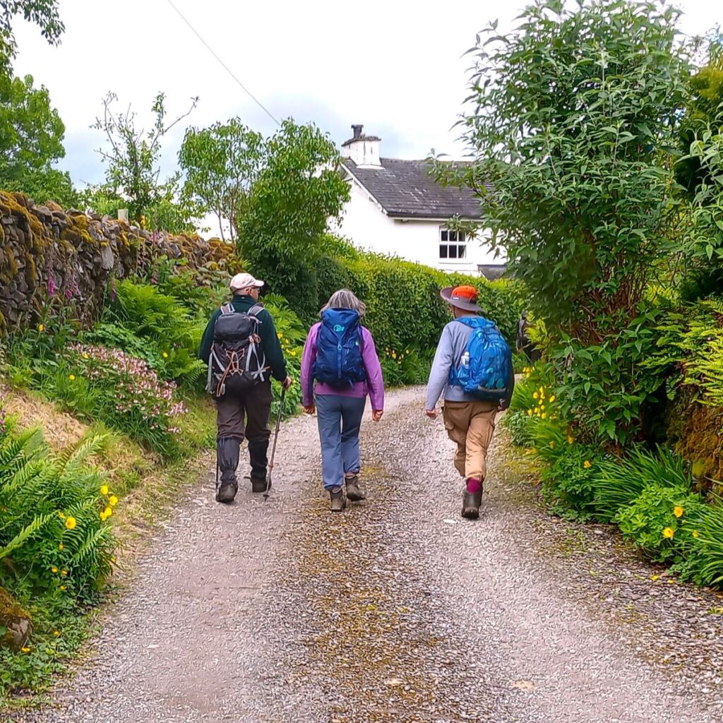
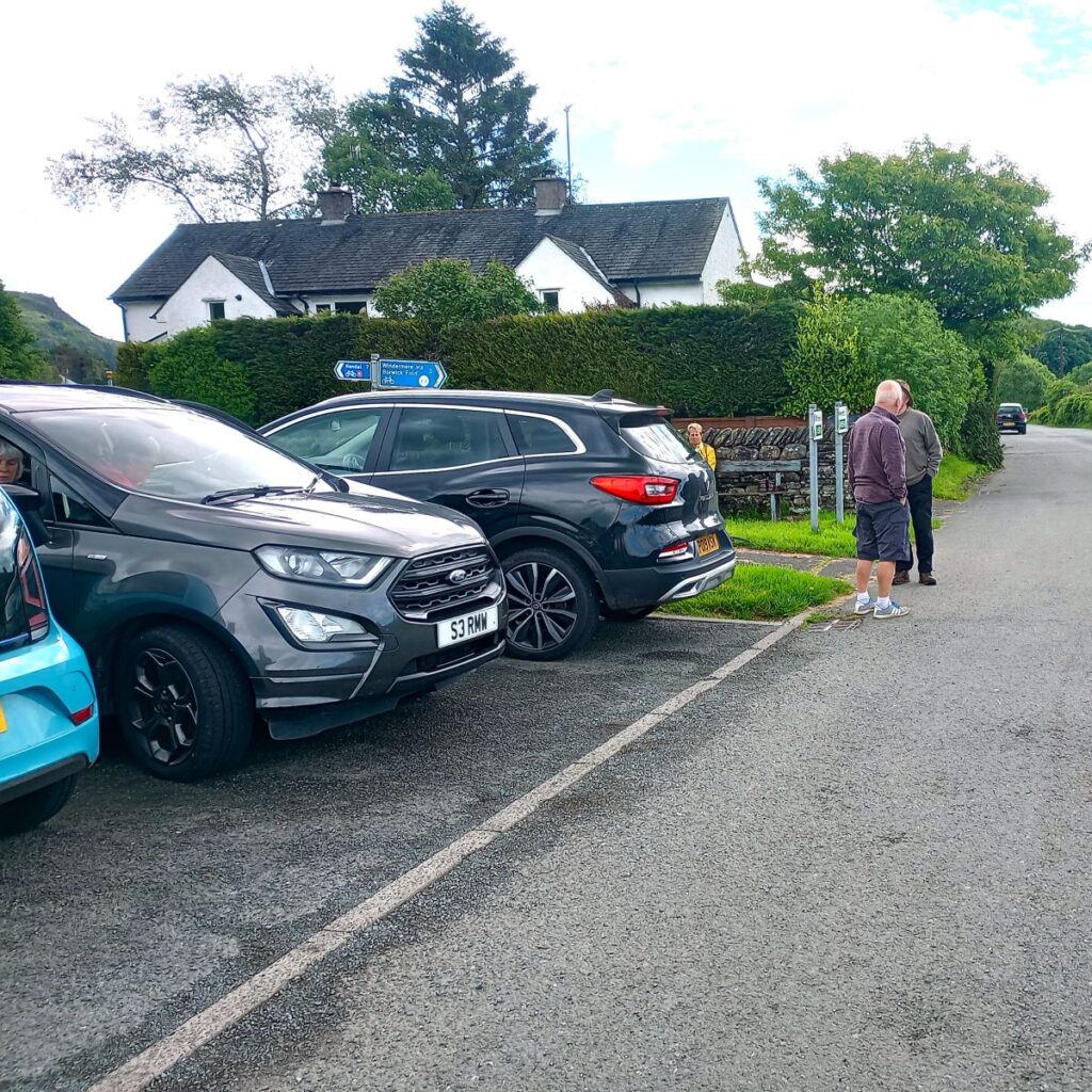
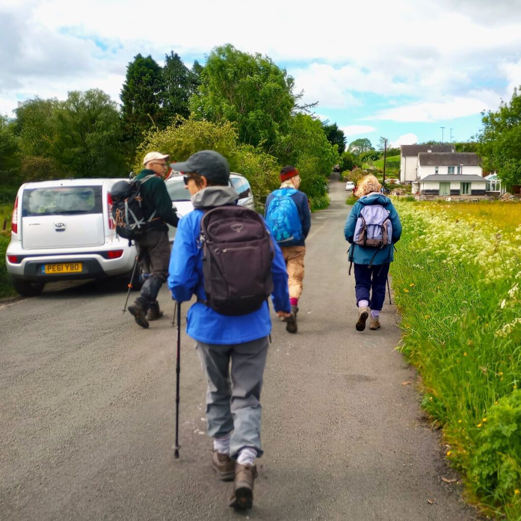
We start at Ings which is on the A591 not far beyond Staveley (another of our favourite places). Look for the petrol station on the left then take the left turn just after the petrol station to find the parking spaces just beyond the church and the Watermill Inn – a pub and microbrewery with an interesting story.
If you are using Satnav to get to the start, try using the pub’s address: Watermill Inn & Brewery A591, Ings, Kendal, LA8 9PY. If you prefer paper maps, the OS grid reference is SD44679864, or use the What-3-Words tag ironic.haunt.coached
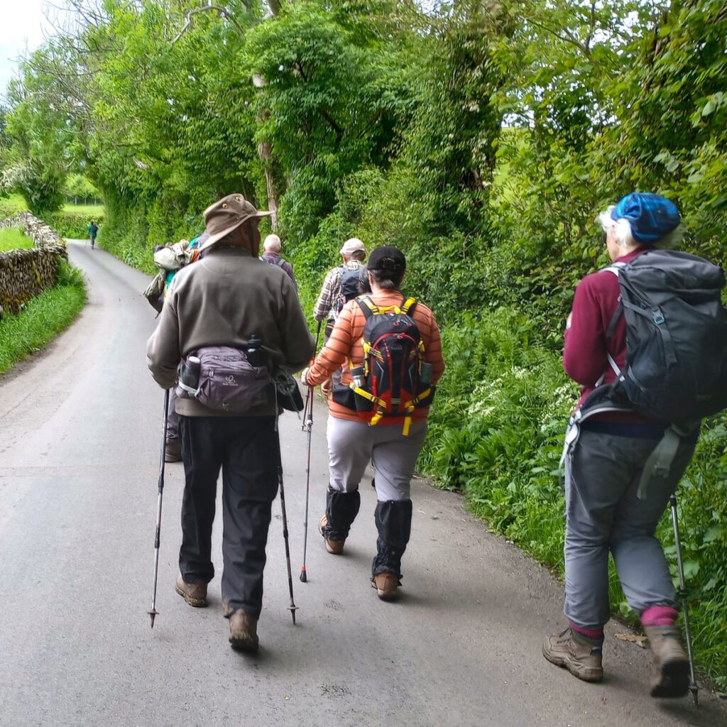
From the parking spaces, we see a minor road meeting the one we took through the back of the village. We take that road and head southwest, and away from the A591 until no more than 150m later we see the railway line heading into Windermere.
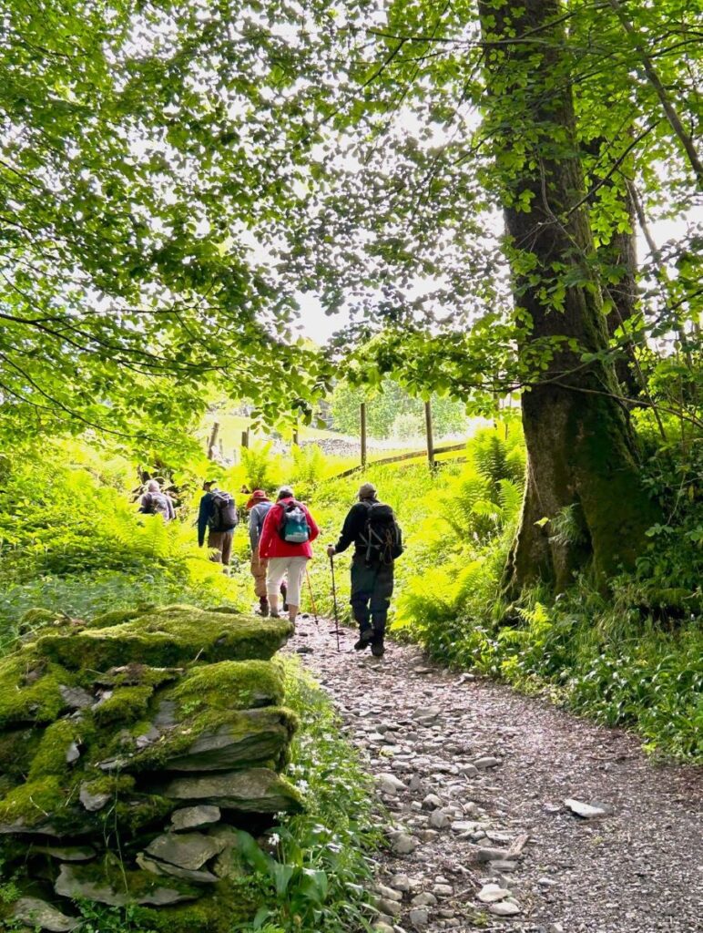
We walk under the railway bridge then stay on the road for another 200m until we see a clear path leaving the road on the right and heading uphill. That path takes us through a field and then into a small area of woodland.
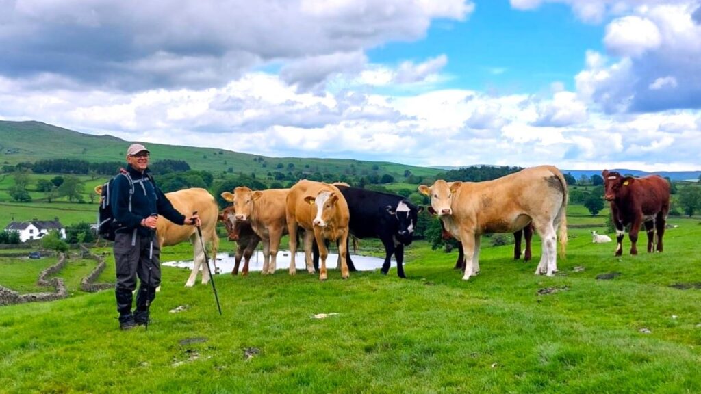
As we emerge from the trees, we see Whasdike Farm over to our right and a track ahead – we aim for that track and follow it away from the farm. After 50m there is a turn on the left which we ignore, and then 30 later the track heads sharp right – at which point we continue straight on, heading for an area of forestry plantation known as School Knott plantation.
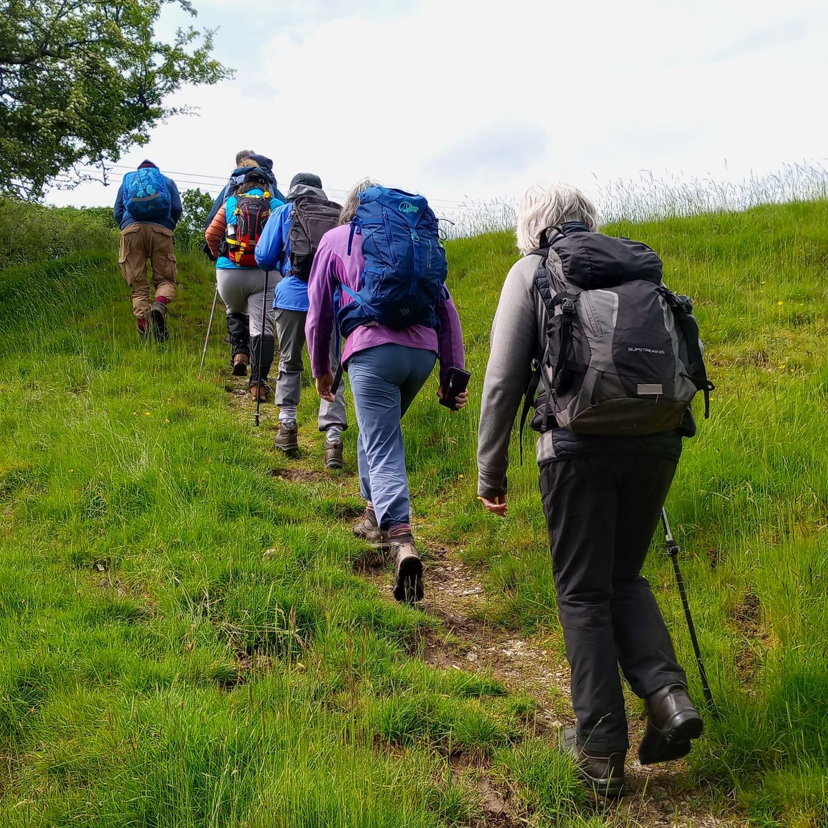

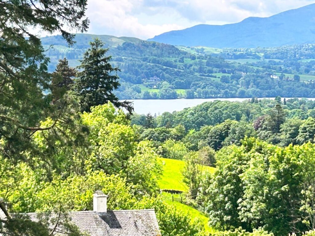
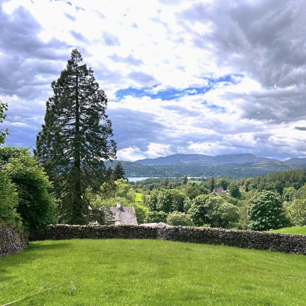
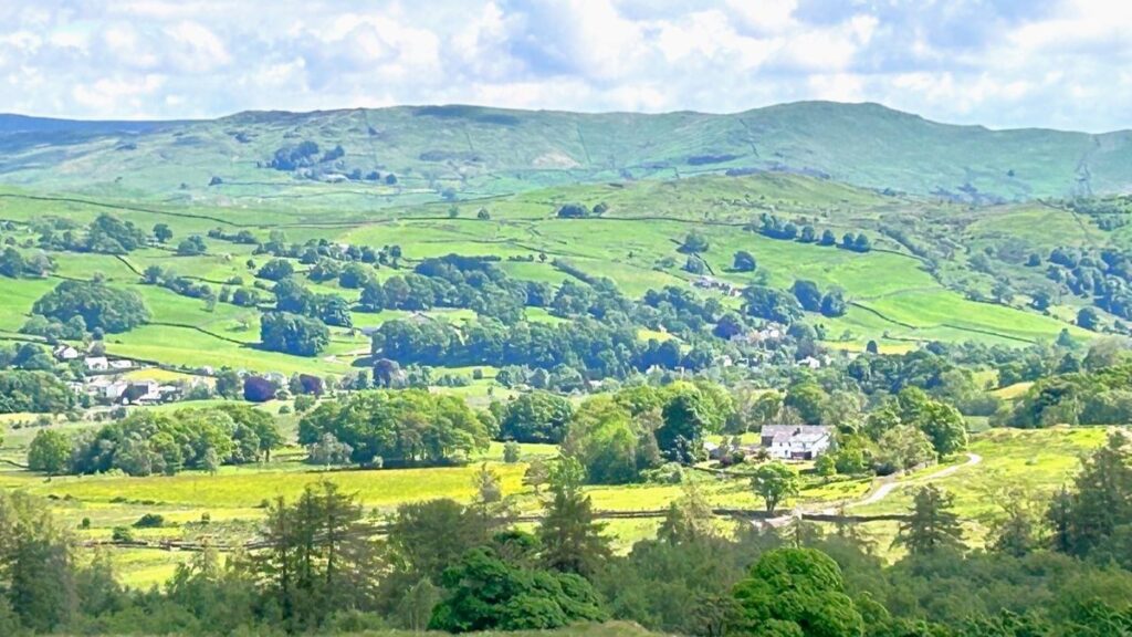
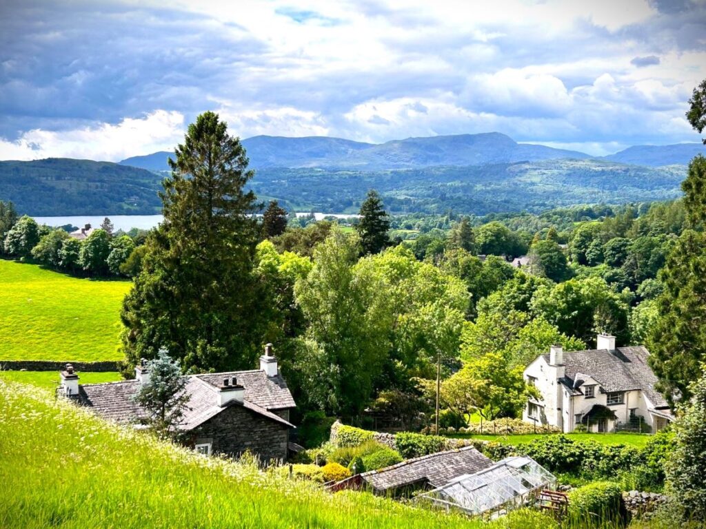
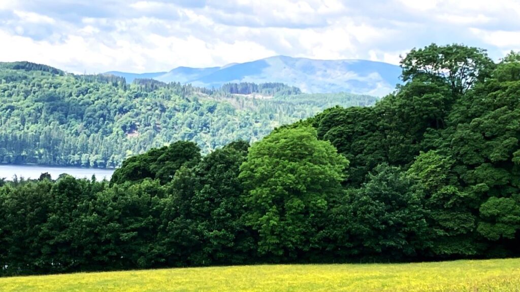
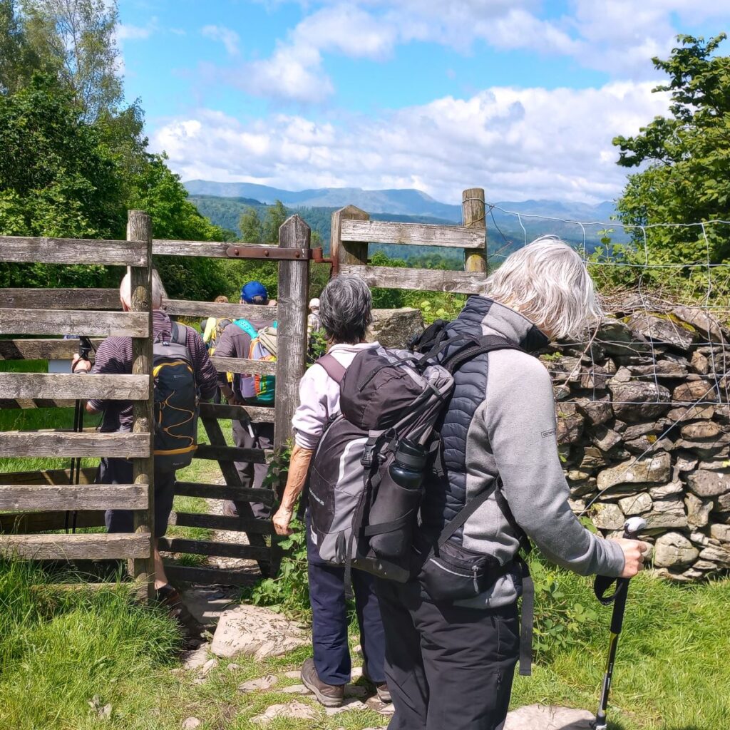
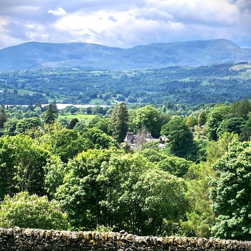
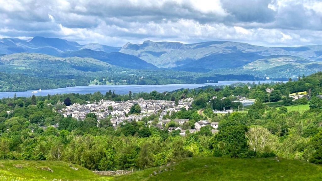
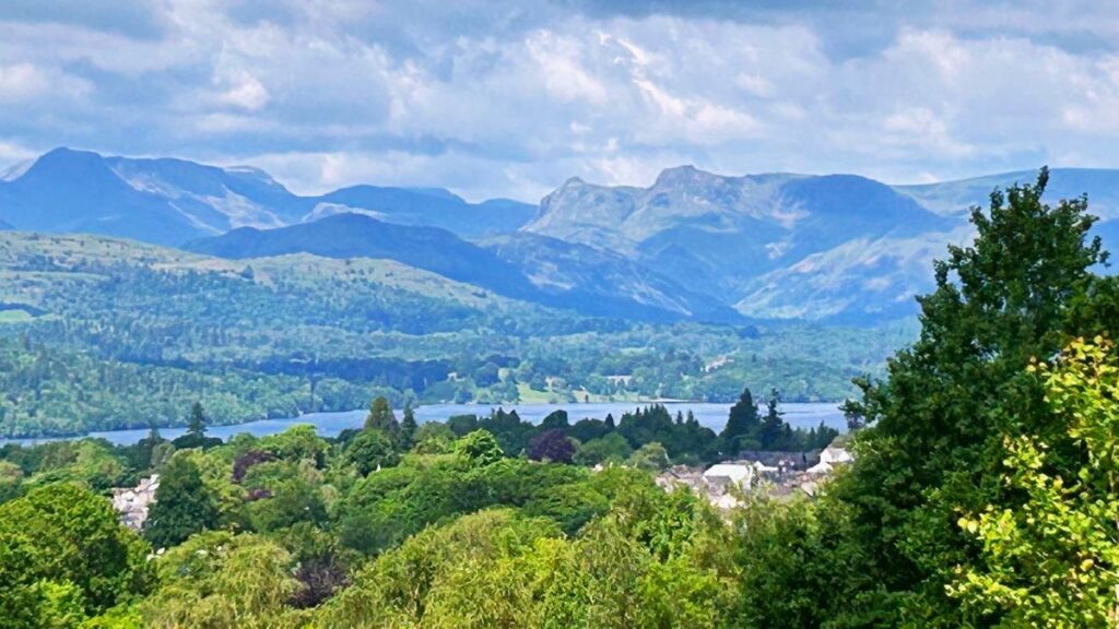
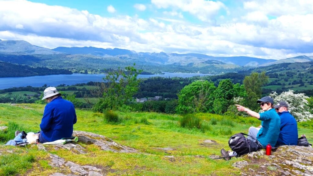
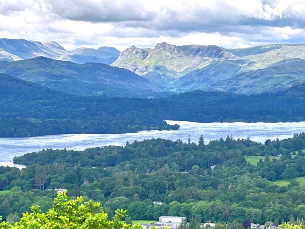
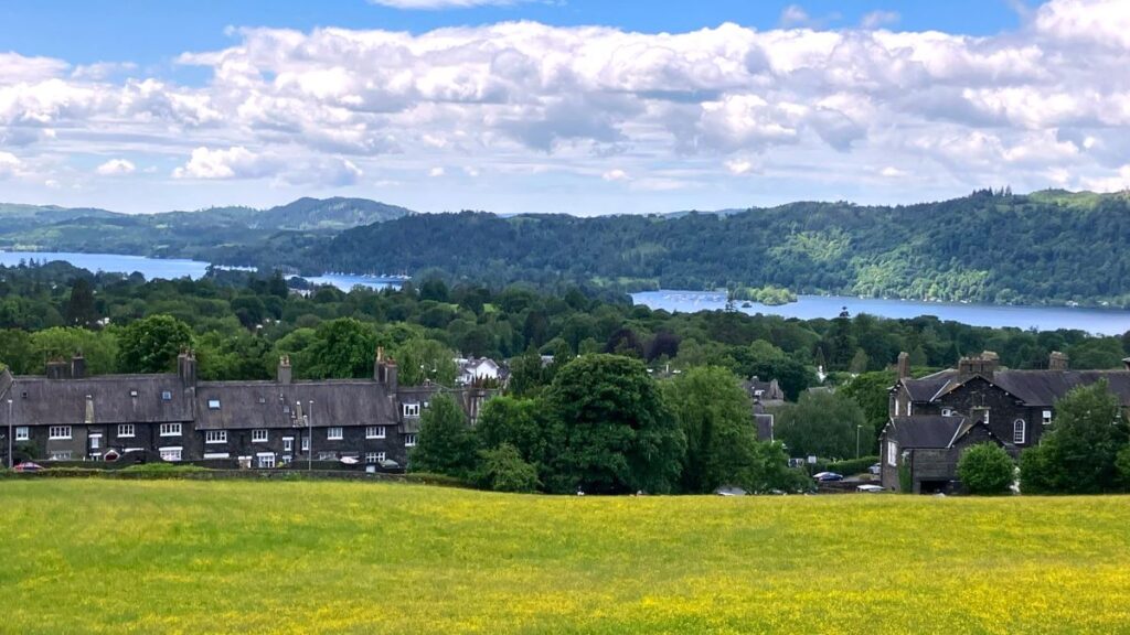
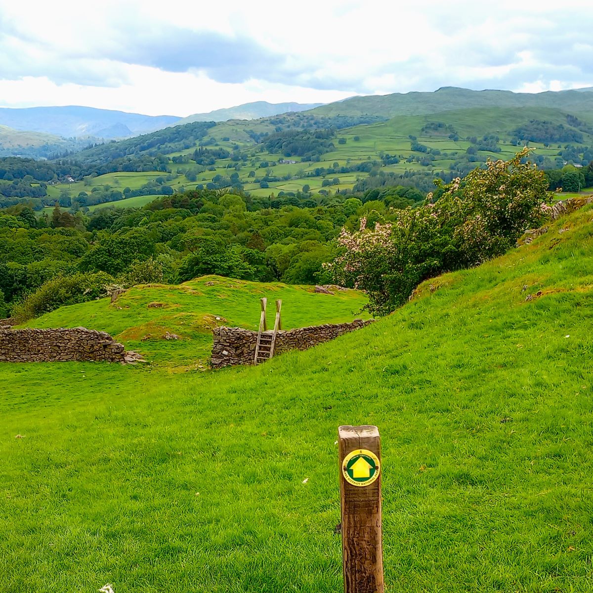
The plantation is not particularly large, and we emerge from it 200m later to see the prominent hill of School Knott to our left. At this point there are quite a number of paths and tracks that we might choose. We want to see the great view from the top of School Knott, so although the climb is reasonably steep, we head hard left 25m after exiting the plantation and climb to the top at 232m from where we have great views over Bowness, Windermere and north up the lake.
From the top of School Knott, we also have choices about the route down: Look over to the left until you see School Knot Tarn, then turn round and head away from it – this will put you on the path that heads northwest down to the woodland at Heathwaite.
We walk through the woodland for only 300m or so, with the path tracking round the outer edge of the woods until we exit into a residential area at Heathwaite. Here we need to follow the public footpath up to the railway crossing and then on to the A591. Navigating through the housing is not as difficult as we might expect, and can be summarised as: As the path exits the woodland, walk behind two terraces to arrive at a road. Cross, then continue behind the houses opposite. After 50m turn left and walk behind more houses to another road, where we again cross to pick up the path in front of a further terrace.
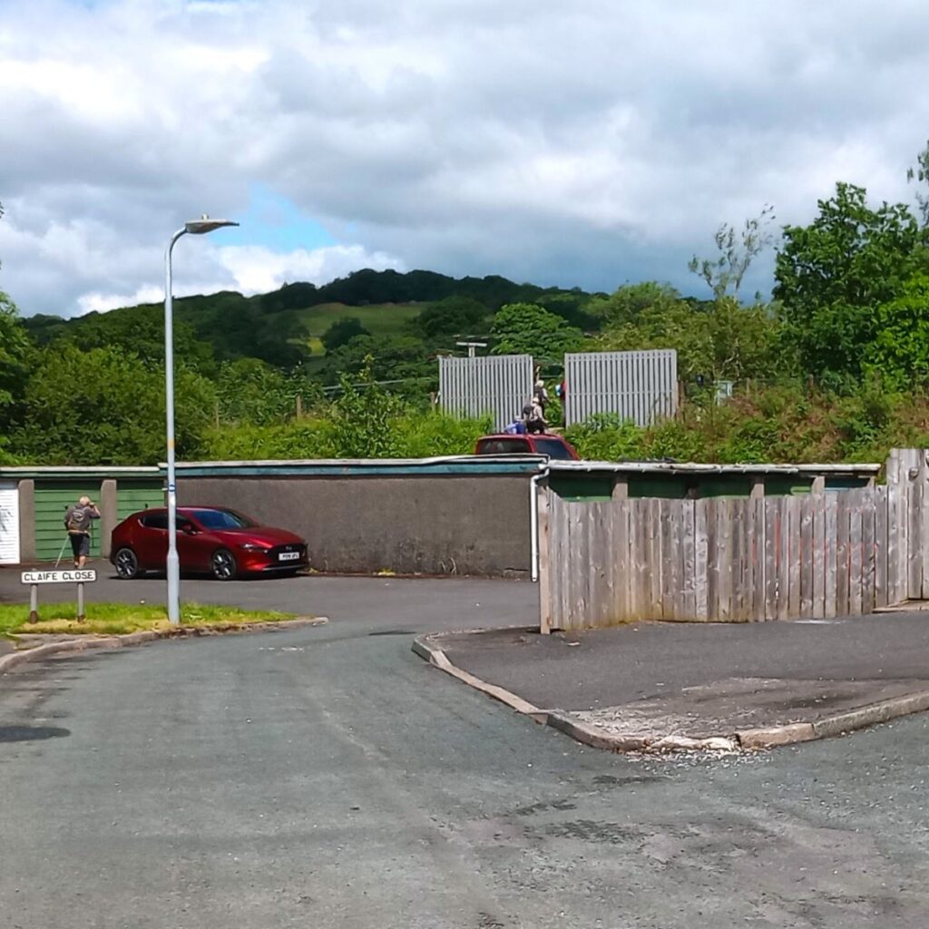
Ahead we now see a garage block, and the path goes to the left of this to cross the railway at a crossing with prominent grey fencing.
Beyond the railway tracks, the path continues north to arrive at the A591 – about 250m after the rail crossing.

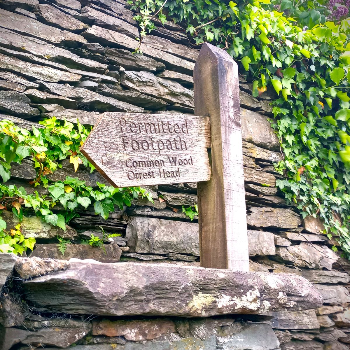
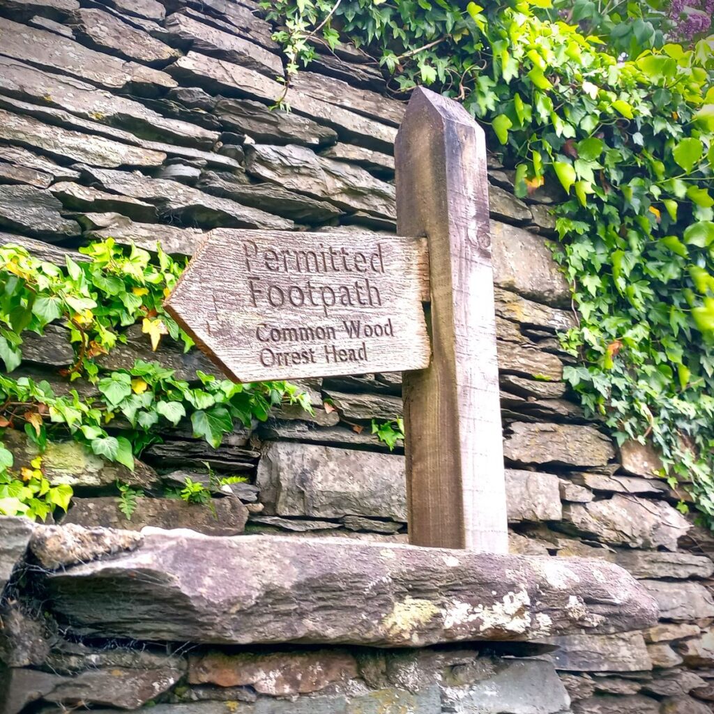
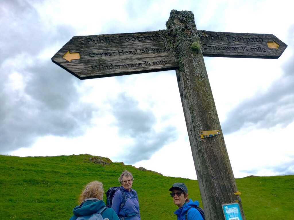
At the main road we head left and walk on the pavement for about 60m to find a crossing point with the path continuing on the opposite side of the road – this is the popular path up to Orrest Head. It is clearly signposted (as permitted footpath – Common Wood and Orrest Head) and is well-walked so navigation should not be an issue. It’s worth noting at this point however that Windermere station and the adjacent supermarket are only 100m further down the A591, so should you need to anything for lunch – this could be your opportunity.
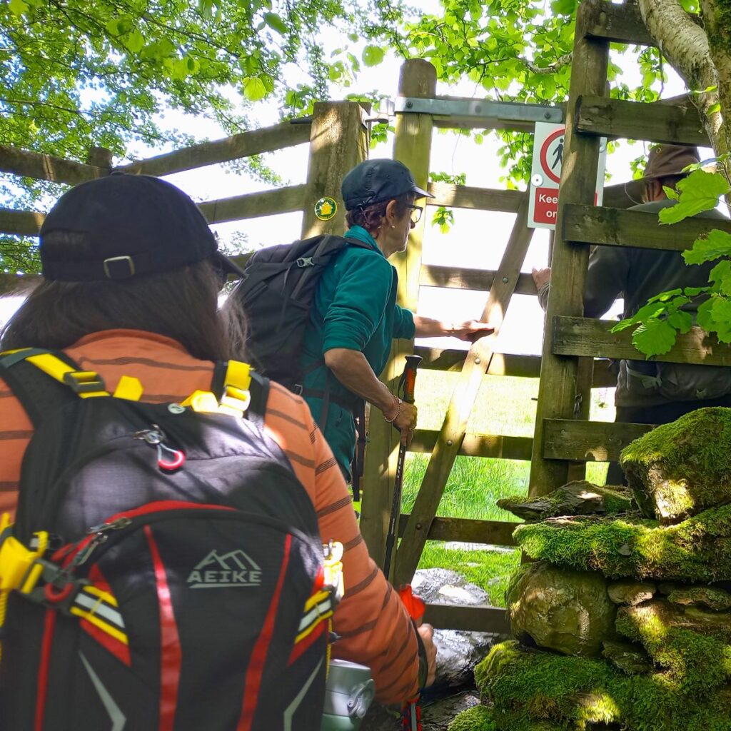
The path follows a track up from the A591 toward woodland 200m away – this is Common Wood, which we enter via a wooden gate to follow a path (muddy at times) through the woodland before we emerge at a stone stile before heading steeply uphill to the summit of Orrest Head.
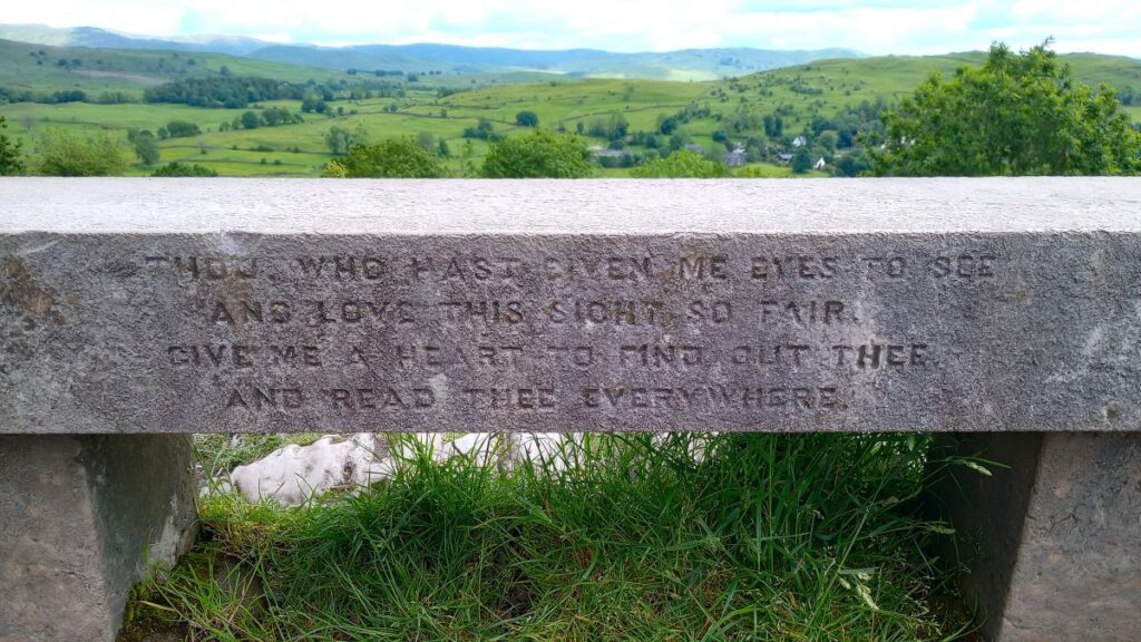
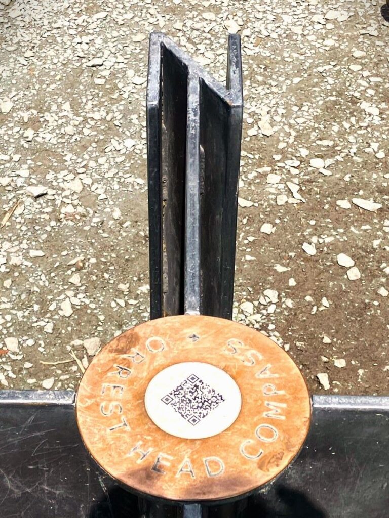
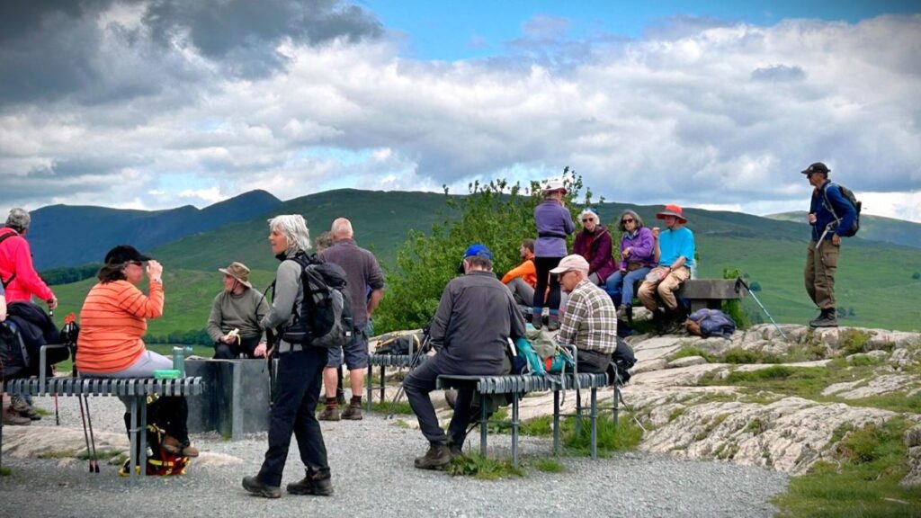
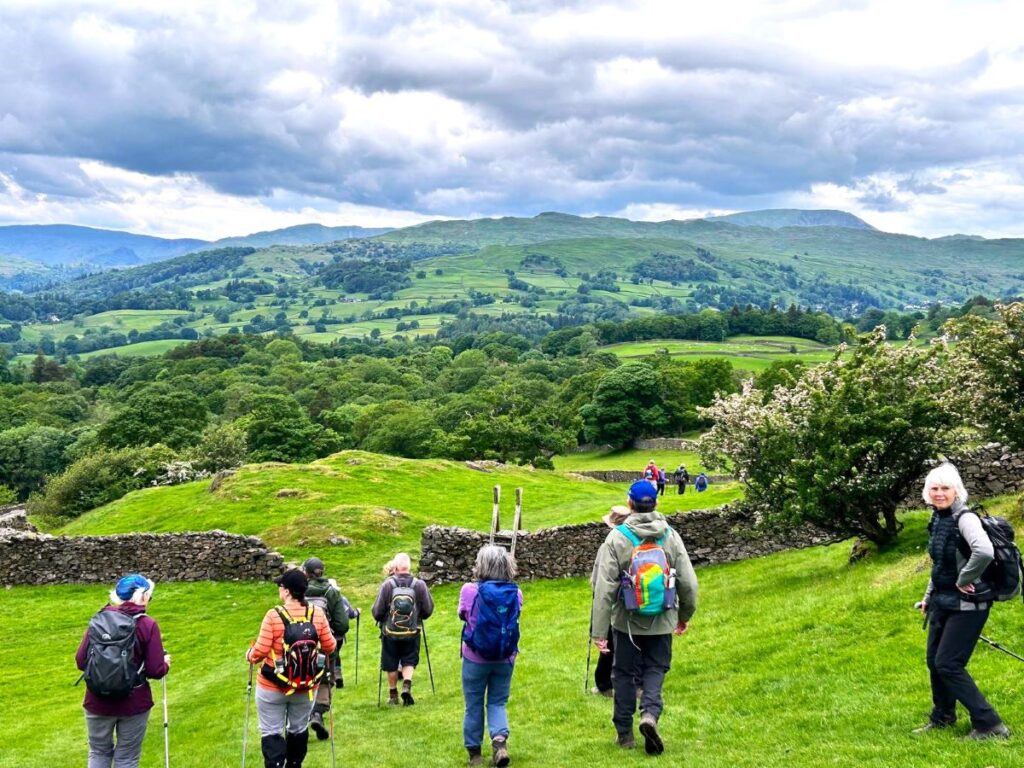
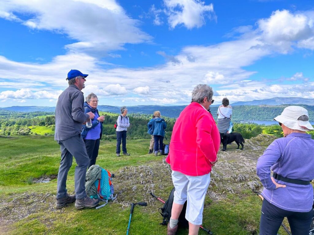
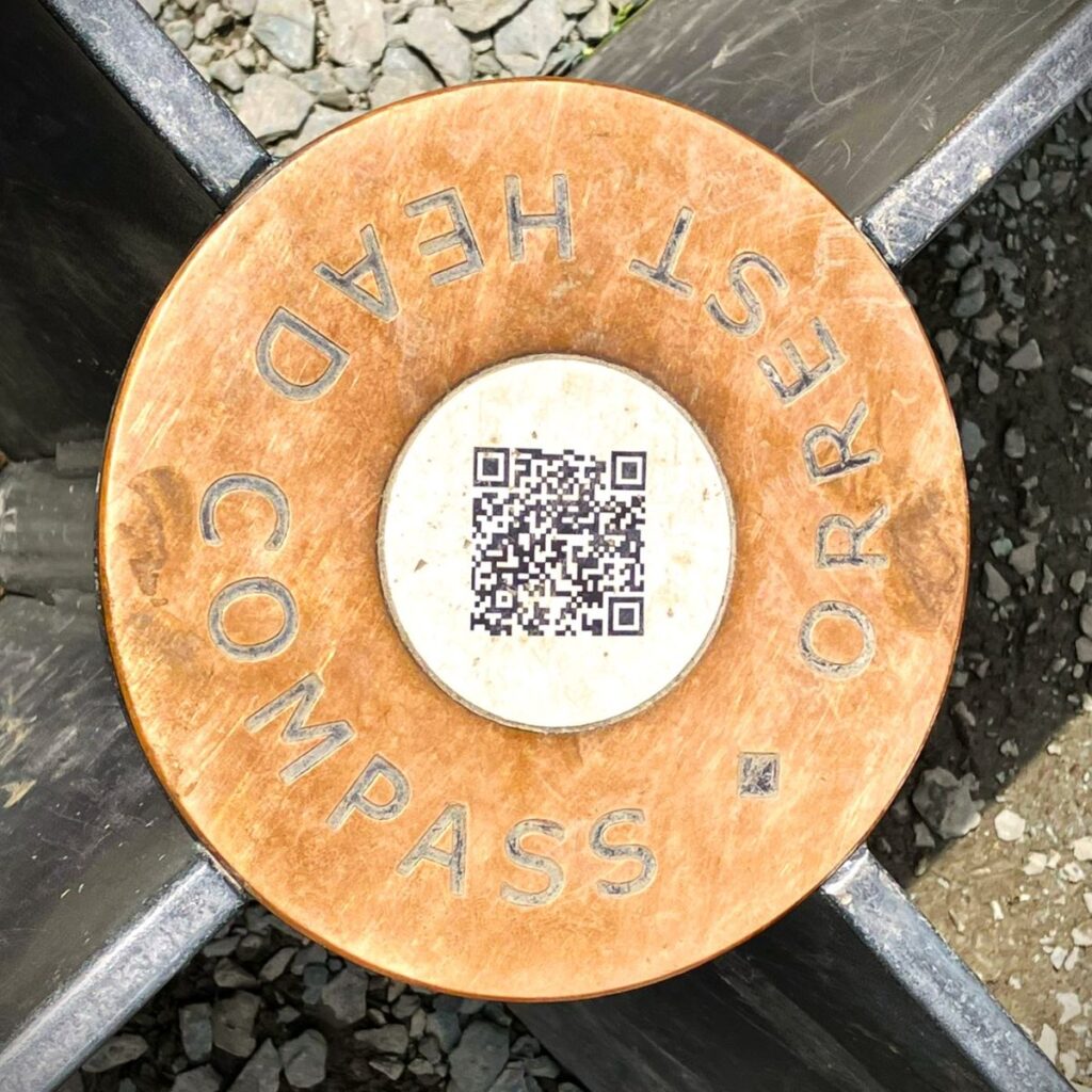
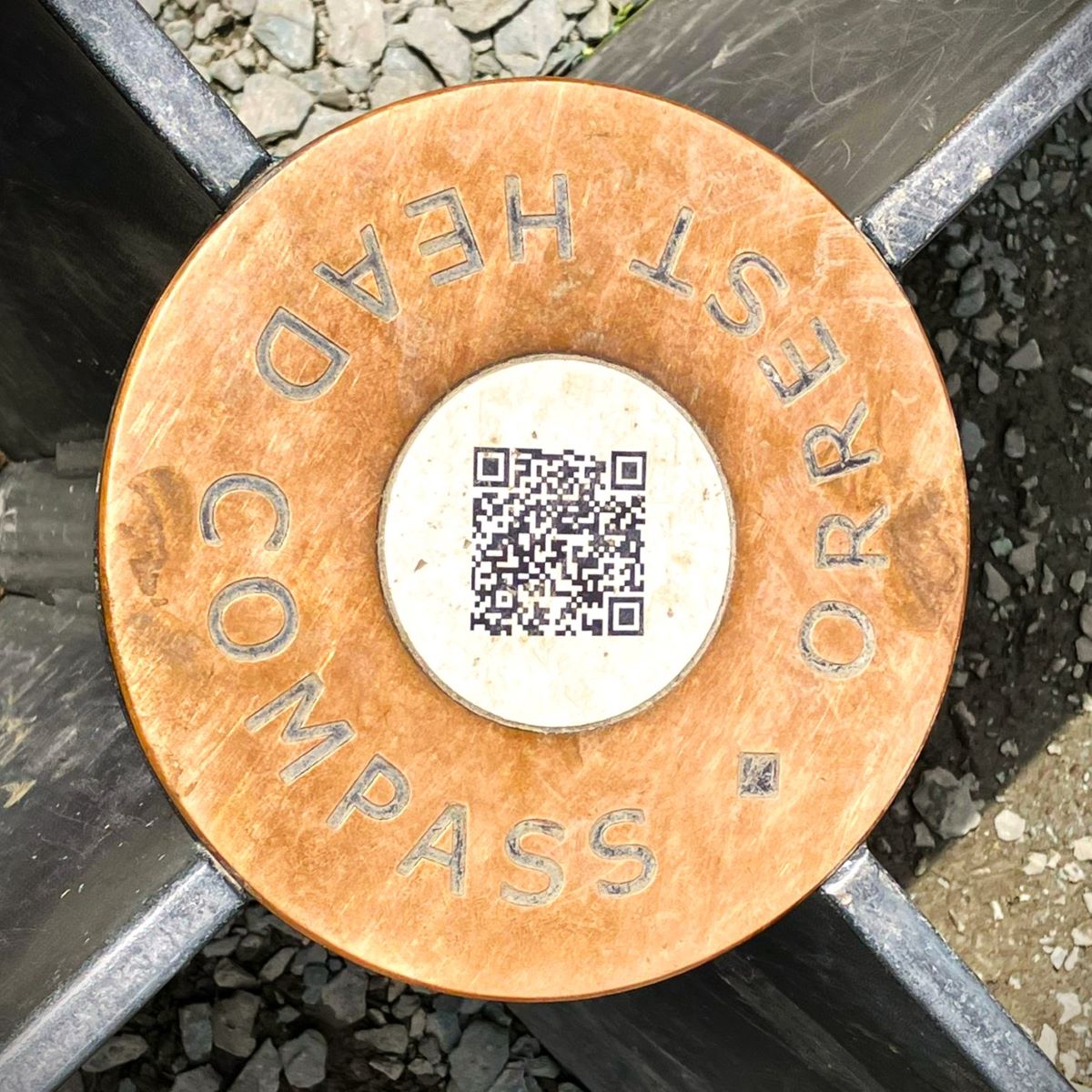
This is quite similar to School Knott – its marginally higher at 238m – but the views are even better. Add to that generous provision of good quality seating, the Orrest Head Compass, and a toposcope, and this is the obvious place for lunch.
Orrest Head is often cited as the inspiration for Alfred Wainwrights love of the Lake District; He first visited in 1930, arriving at Windermere station having travelled from his then home in Blackburn. He took the short walk up Orrest Head from the town centre and is reputed to have noted that “…quite suddenly, we emerged from the trees and were on a bare headland, and, as though a curtain had dramatically been torn aside, beheld a truly magnificent view.“. However these words were in fact written some decades later in his autobiography, so some poetic licence may be involved.
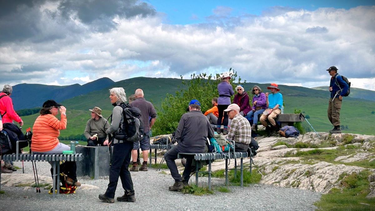
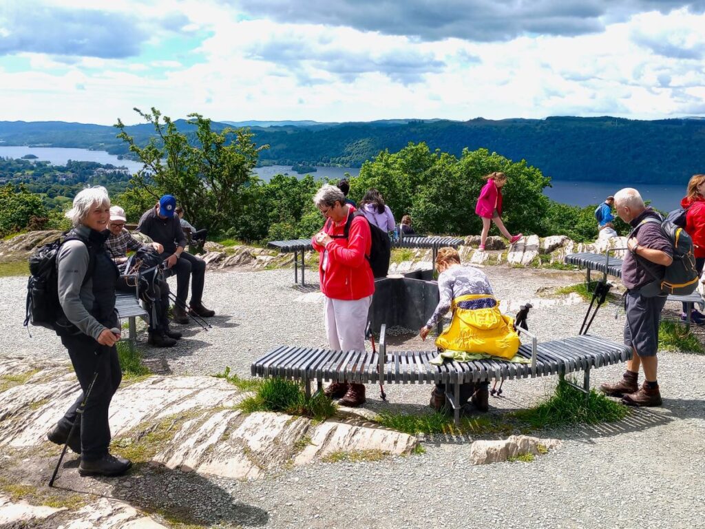
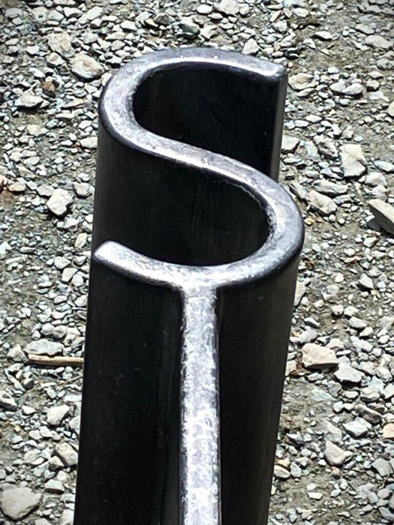
The Compass is a welcome and interesting addition to Orrest Head: It is more than just the NSEW indication in the centre however – the bespoke seating, crafted by local artist and blacksmith, Chris Brammall of CB Arts Ltd forms a dial: The benches radiate from the central directional marker and are set to the correct compass bearing. Each of the bench slats are set at 1 degree increments with every 5 and 10 degrees being defined by a slightly longer slat and highlighted in a patinated finish.
From the top of the Head, there are a number of paths down and just like at School Knott, ours is the one to the north. However, it is worth noting that the path south is the way to the memorial stone to Arthur Henry Heywood: Orrest Head and Elleray Wood originally formed part of the Elleray Estate which was owned by Arthur Heywood. In 1902 his widow and daughter gave Orrest Head in trust to Windermere Council to be held for public walks within pleasure grounds, then in 1943 most of the rest of Elleray Wood was given to the Council under similar terms by other members of the family.
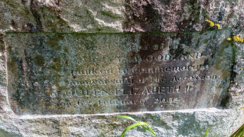
A small part at the northern end is owned by South Lakeland District Council but leased to the Town Council and managed as part of the Community Woodland. Elleray Wood is situated to the north-east of the A592 Church Street and is thought to have been laid out in the nineteenth century. Many of the original pathways and carriage drives are still used and are in relatively good condition.
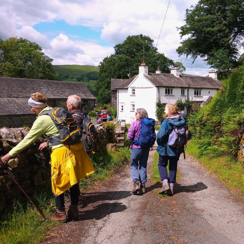
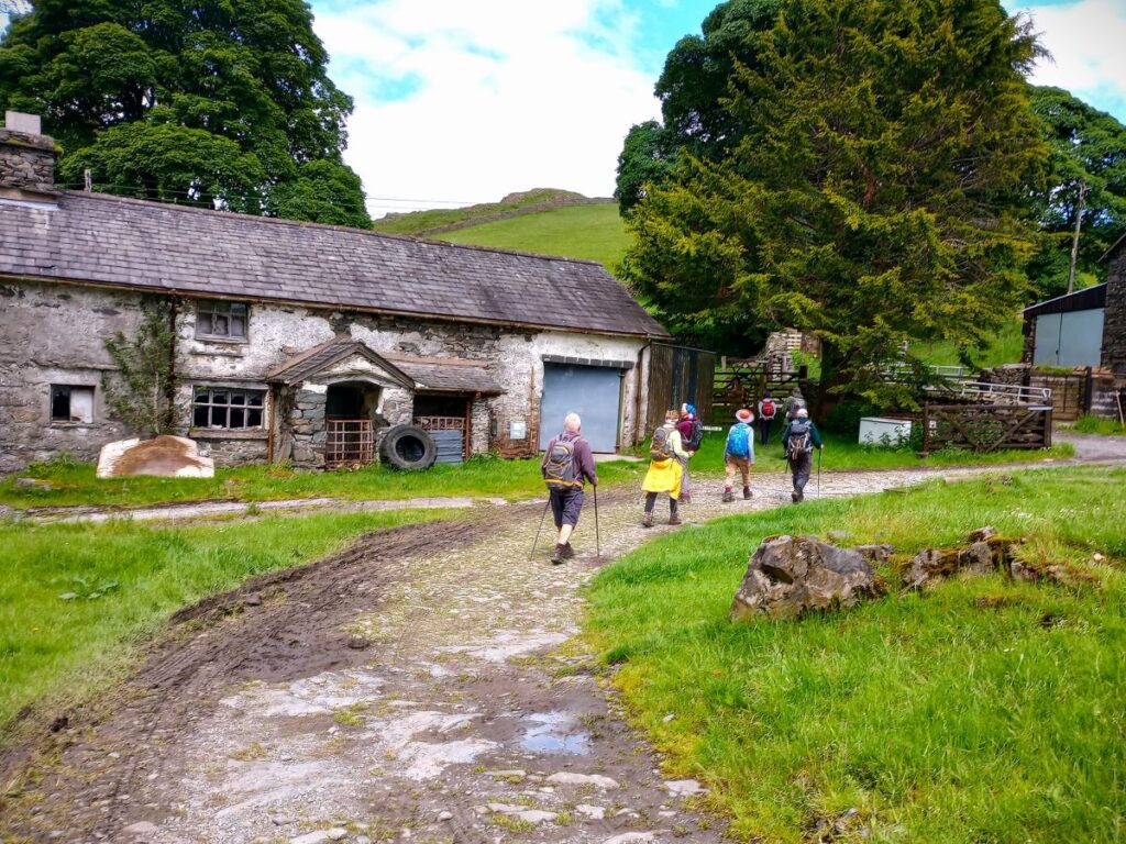
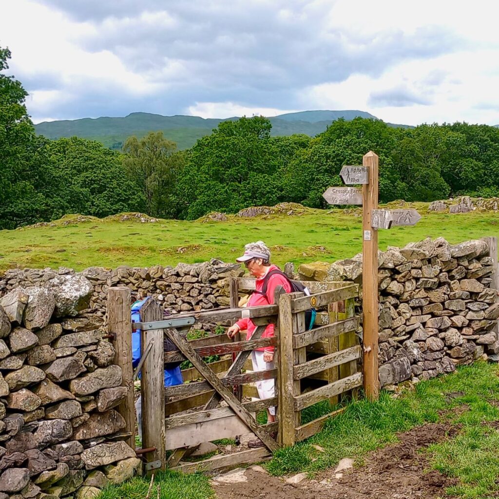
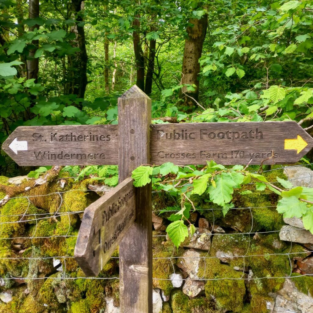
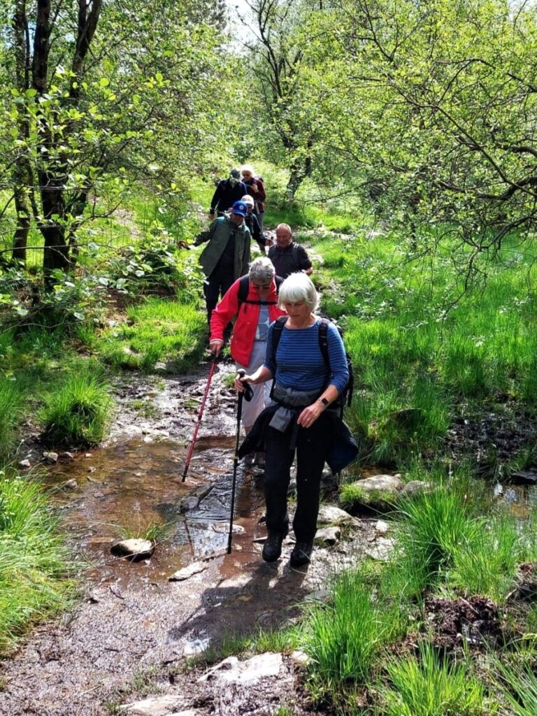
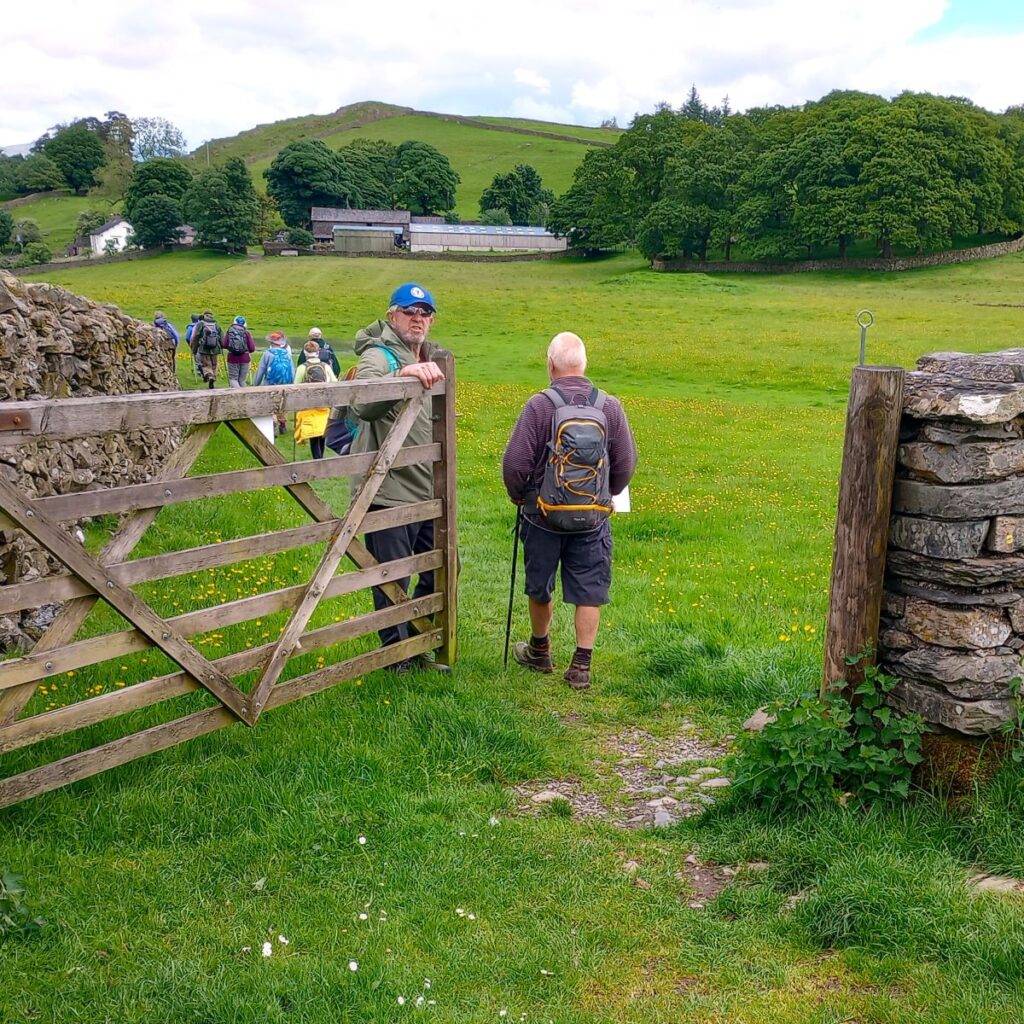
The climb down from Orrest Head is quite steep and needs some care. Once at the bottom, the path forks, and we go left to head toward Crosses Farm – There is a way marker and then a clearly marked route down toward woodland – we go through the edge of this to arrive at a minor road.
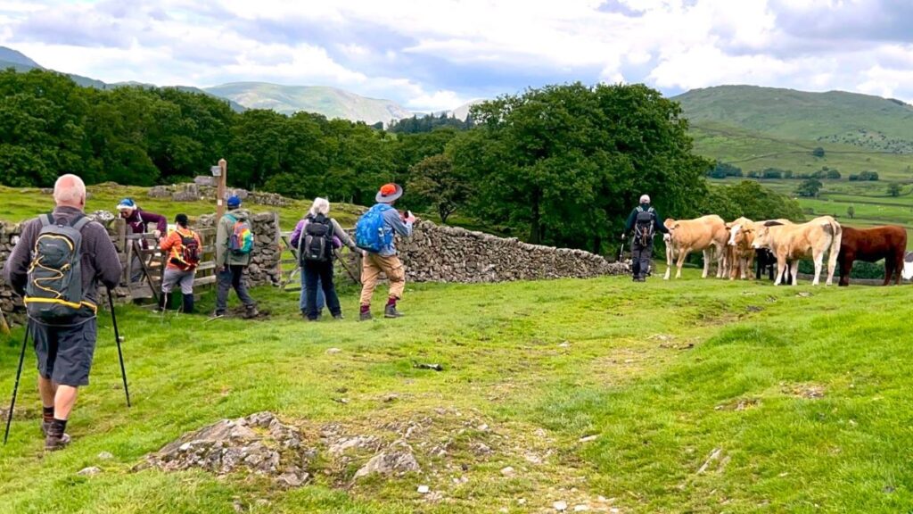
Once at the road we head left and then 100m later leave on the right to take a track toward Howe Hill, Highlands Wood and Far Orrest. As we approach Far Orrest the footpath is clearly signed to go to the right of the farm buildings, rather than left as shown on the map. We then head north for about 150m until we arrive at a minor road. We cross this and take the continuing path opposite which 200m later arrives at the busier A592.
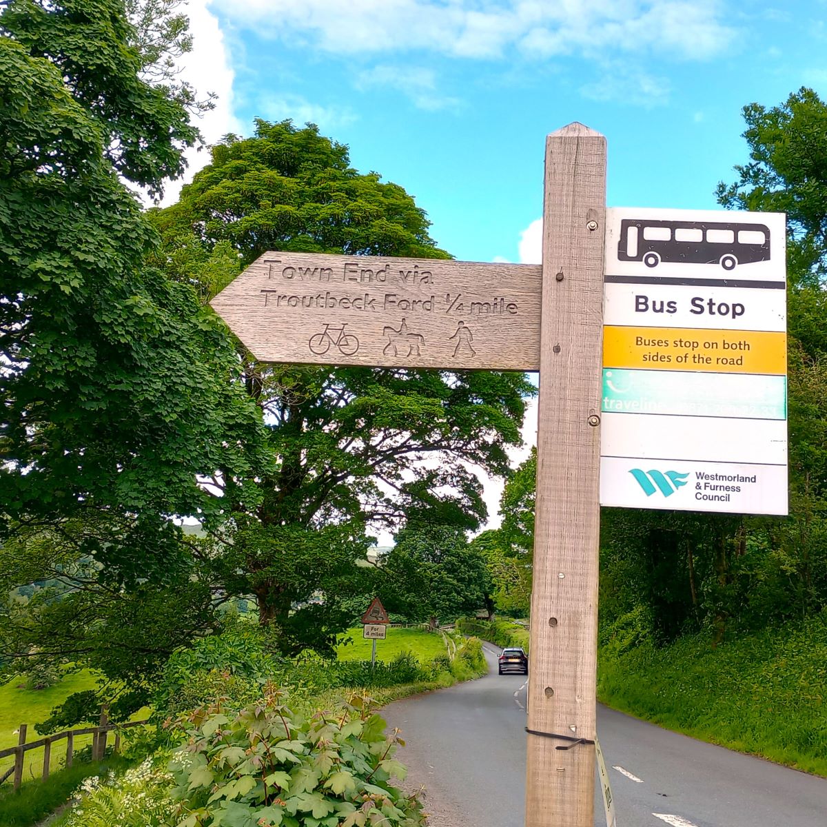
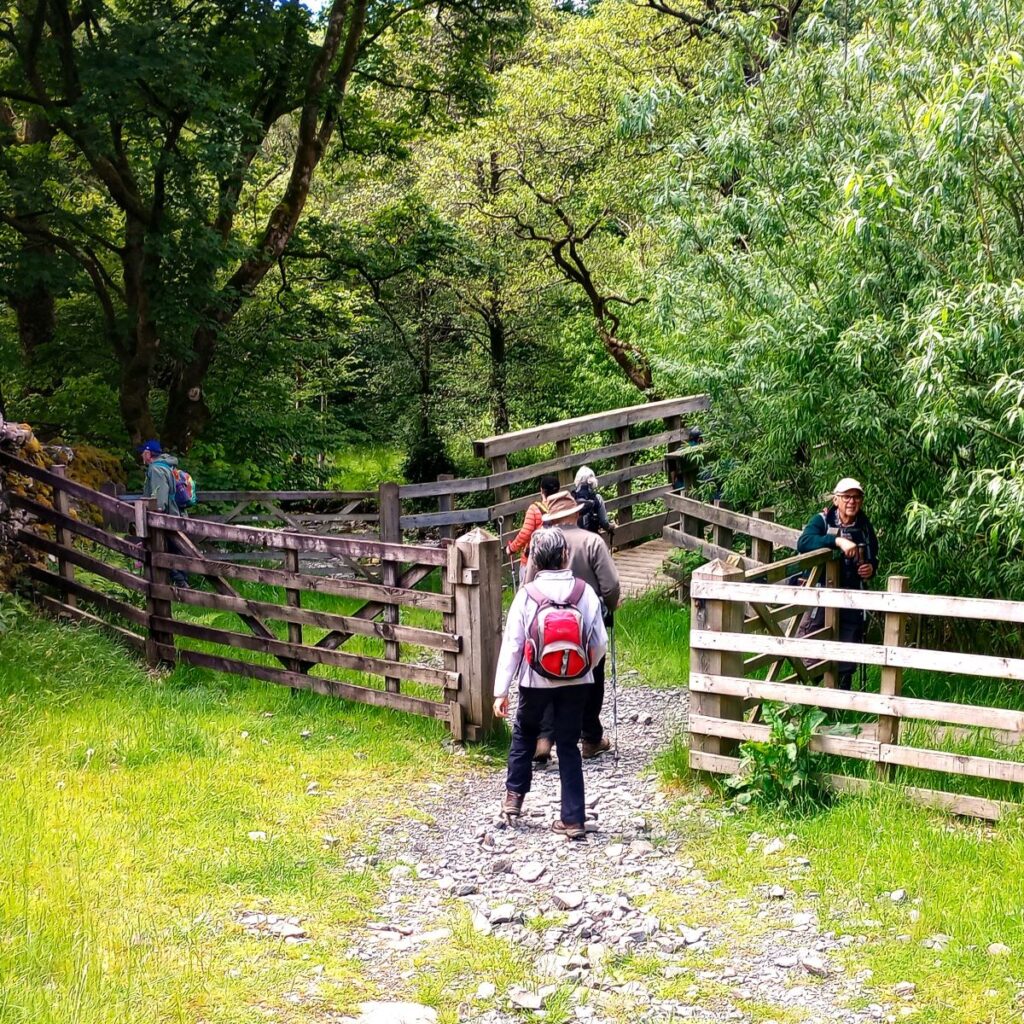
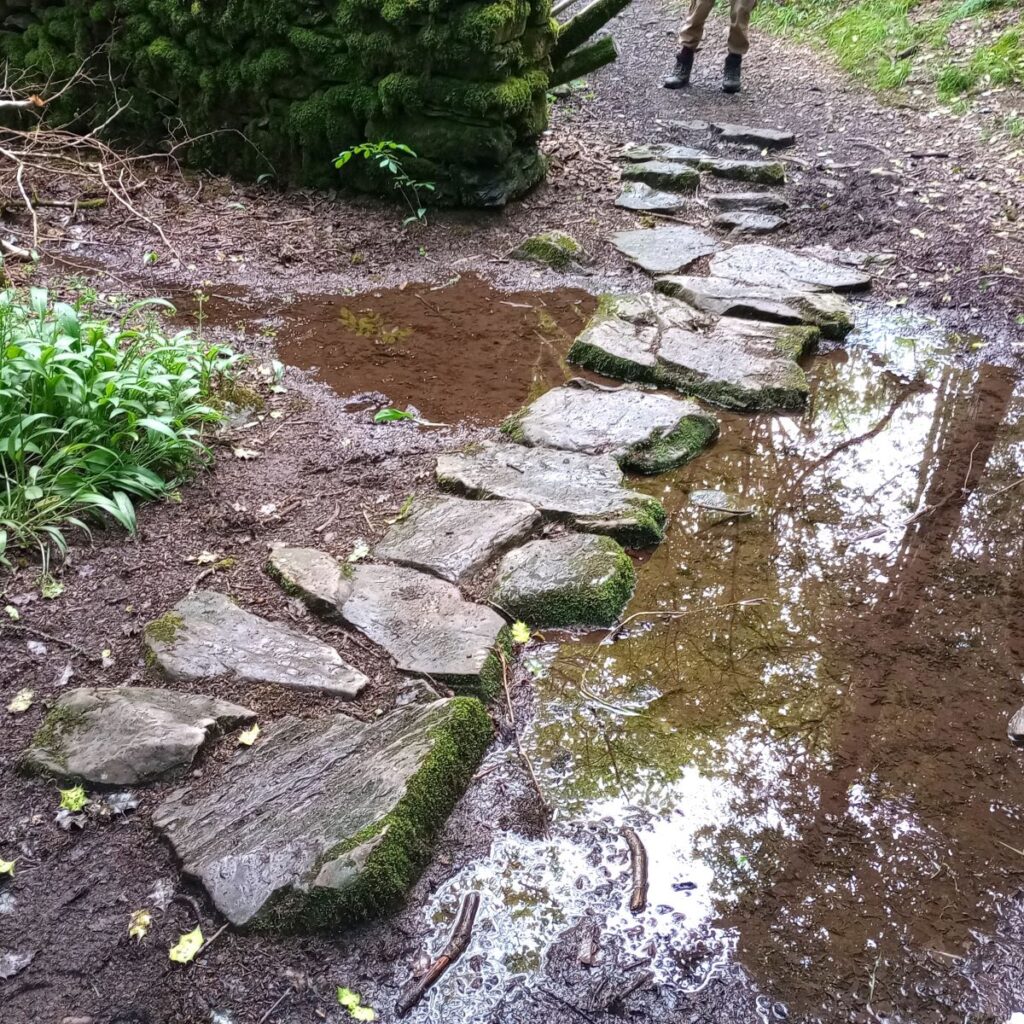
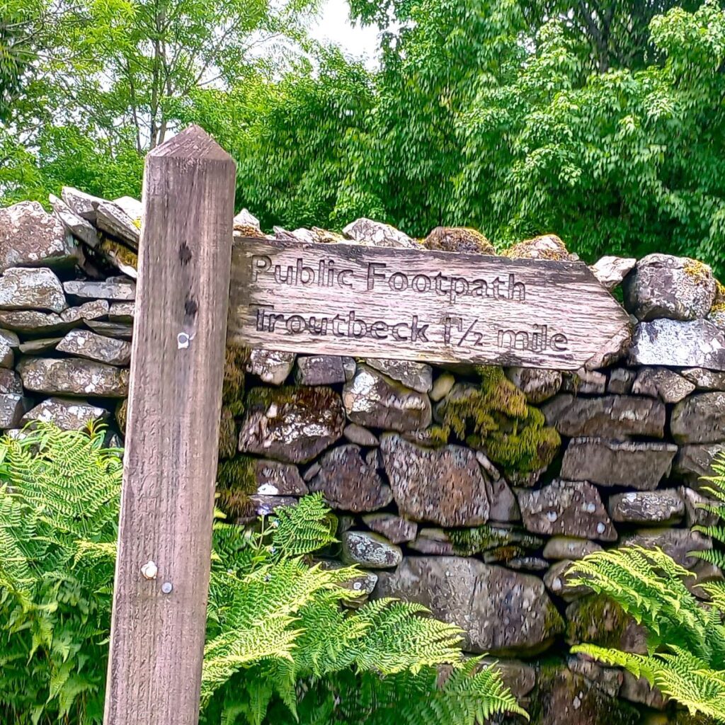
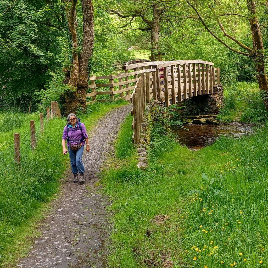
We turn right on the A road and head north for a further 200m until a signposted footpath leaves on the left to head down to Trout Beck in the bottom of the valley.
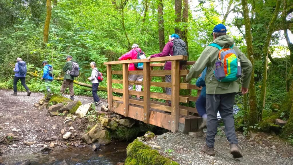
We cross the beck using a pair of wooden footbridges, then climb up to a minor road on the opposite side of the valley – this is Bridge Lane.
As we arrive at the road, we see the path continuing opposite, then climbing up to a second, even smaller road 100m further on.
We turn left here and simply stay on this road until reaching the second bridleway on the left, marked by a finger post signed to Wood Farm. Ignore any other routes that are not metalled roads.
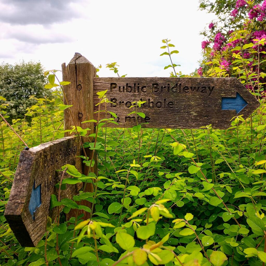
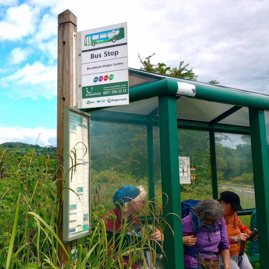
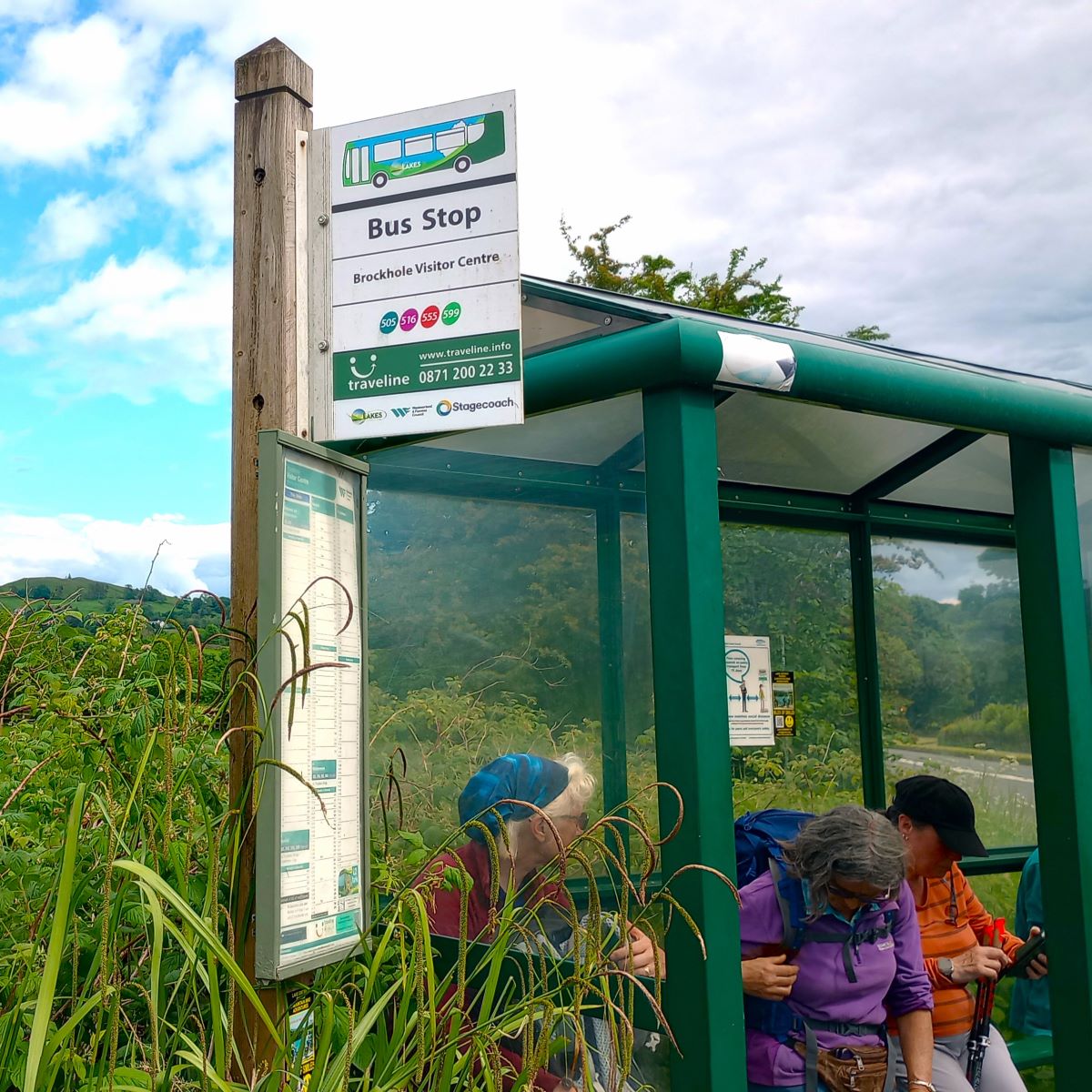
From here we just keep walking until we arrive at the busy A591, close to the Brockhole Visitor Centre. If you have time to spare this might be worth visiting, but we needed to be back, so headed for the bus stop on the A591 – it’s clearly visible as we arrive at the road.
From there we take a bus back to Ings – in our case via a change at Windermere giving us the opportunity to spend a short while there.
Details of the bus timetable can be found here.
Click here for a panorama shot of the walk
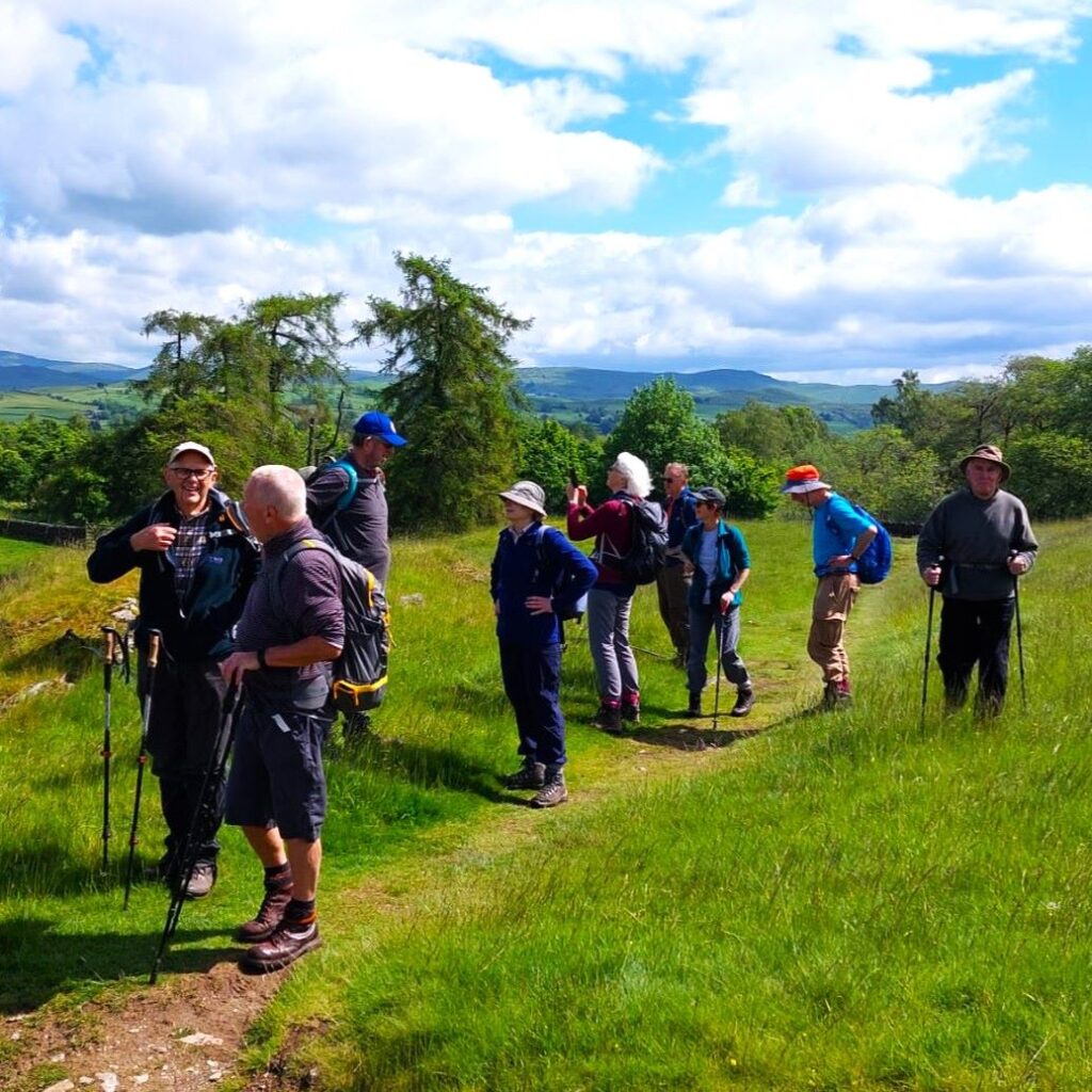
Bentham Footpath Group have (an entirely arbitrary) definition of an easy walk as one that is less than 12km – and this one comes in just below that; so, we therefore show it as “easy”. All lake district walks include steep ascents though, and School Knott and Orrest Head are both steep – even if the climbs are not long. The consensus amongst those on the walk is that this walk feels more “moderate” than easy.