Jump to . . .Step by Step | OS Map | Downloads | Gallery | Fly through
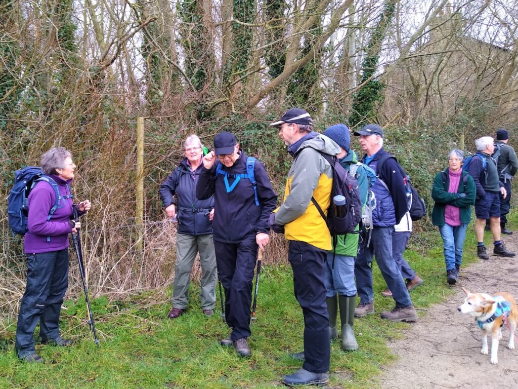
Starting a walk in a city centre is unusual for the Bentham Footpath Group, and it gives an interesting new perspective.
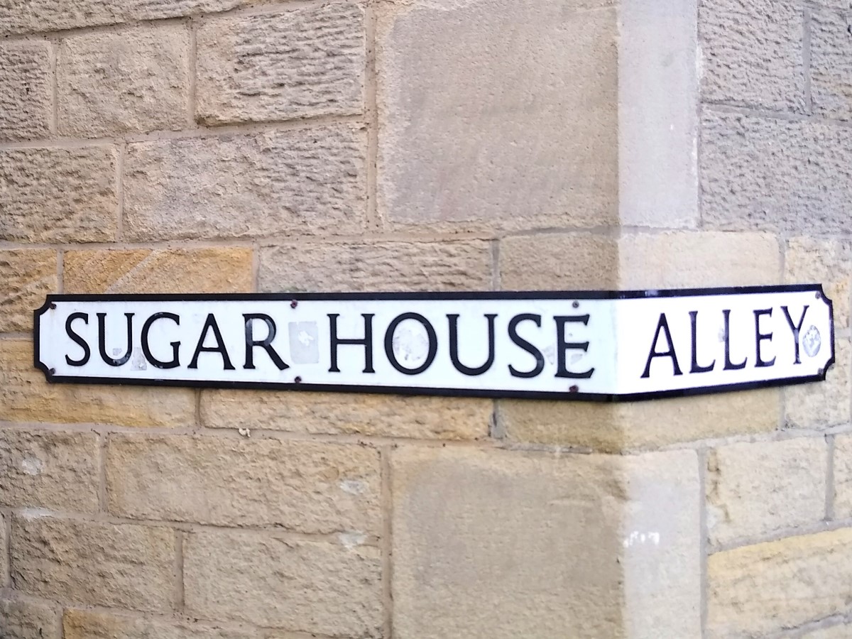
Starting from Sugar House Alley, we walk through the city centre to the Lancaster Canal where we head South along the towpath – this gives a very urban view of Lancaster and it’s industrial heritage.
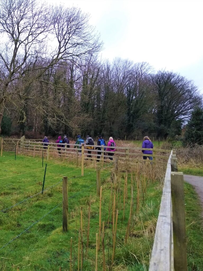
We leave the canal just after the west coast main line railway bridge, and head down a side street into the Fairfield Association Nature Reserve and follow the waymarked path round through the “Flora” and “Fauna” zones and then the community orchard. Despite being just minutes from the city centre this walk now feels very rural.
The trail brings us back to the canal at Haverbreaks, and we again head South before leaving almost immediately to take a path through Aldcliffe to the Lune estuary where we take the embankment North through the marshes. Opposite Oxcliffe Hill, we head inland through Freemans Wood and on to Abrahams Heights.
We are now back in a very rural environment, heading past the bustle of the railway station and then the Priory and Castle, before returning to the city centre.
- Total distance 10.6 km (6.6 miles)
- Total Ascent 319
- Easy walk
Step-by-Step

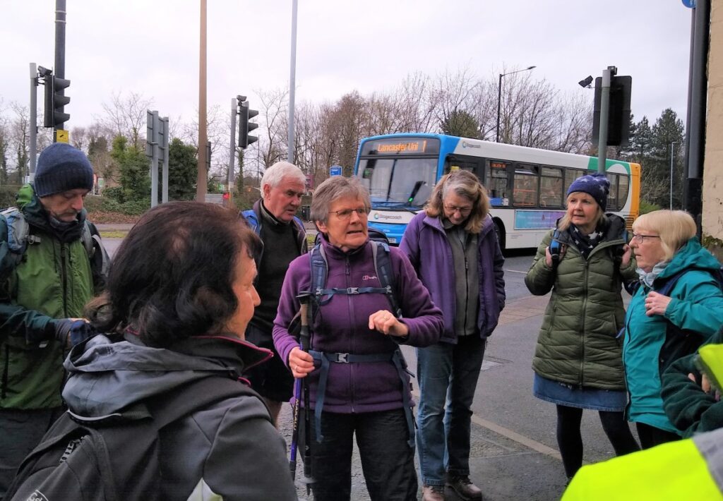
Starting a walk in the city centre raises questions about parking – ones that we solved by using the Park and Ride at J34 of the M6. Ample free parking is available at all times and the frequent bus service into Lancaster is cheaper and more convenient than parking in the centre.
Take the city bound bus and get off at the first stop on North Road / Sugar House Alley where the walk starts.
Sugar House Alley is so named because in 1681 it led to a building called the Sugar House. This was used for storage, refining and trading of sugar brought from Jamaica and Barbados: Much of this sugar was brought via Liverpool or Bristol and was inevitably part of the Slave Trade; It is thought that at this time, Lancaster was the fourth largest slave trading port in the UK.
Walk up Sugar House Alley, heading away from the A6. At the top of the Alley is St Leonard’s Gate – worth noting as the location of Lancaster Grand Theatre. This is one of the oldest working theatres in the North, dating back to 1782, and it still boasts a varied and active program. Their website is worth visiting: https://lancastergrand.co.uk/
Turn right, and cross St Leonard’s Gate and walk uphill and diagonally across the car park to find Edward Street.
Edward Street passes through largely derelict buildings, including a large Brewery originally belonging to Yates & Jackson, but later bought out by Thwaites, and then Mitchells who brewed there until 1999.
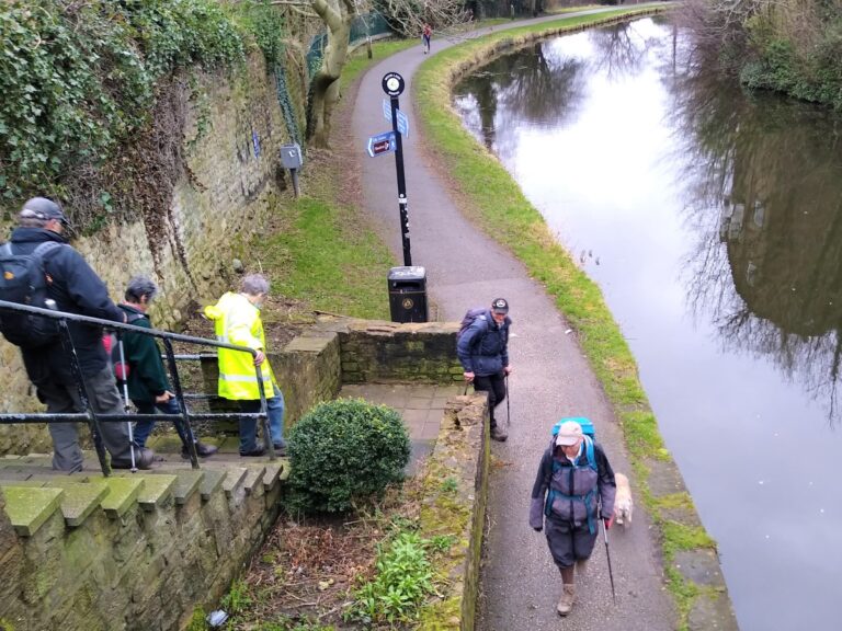
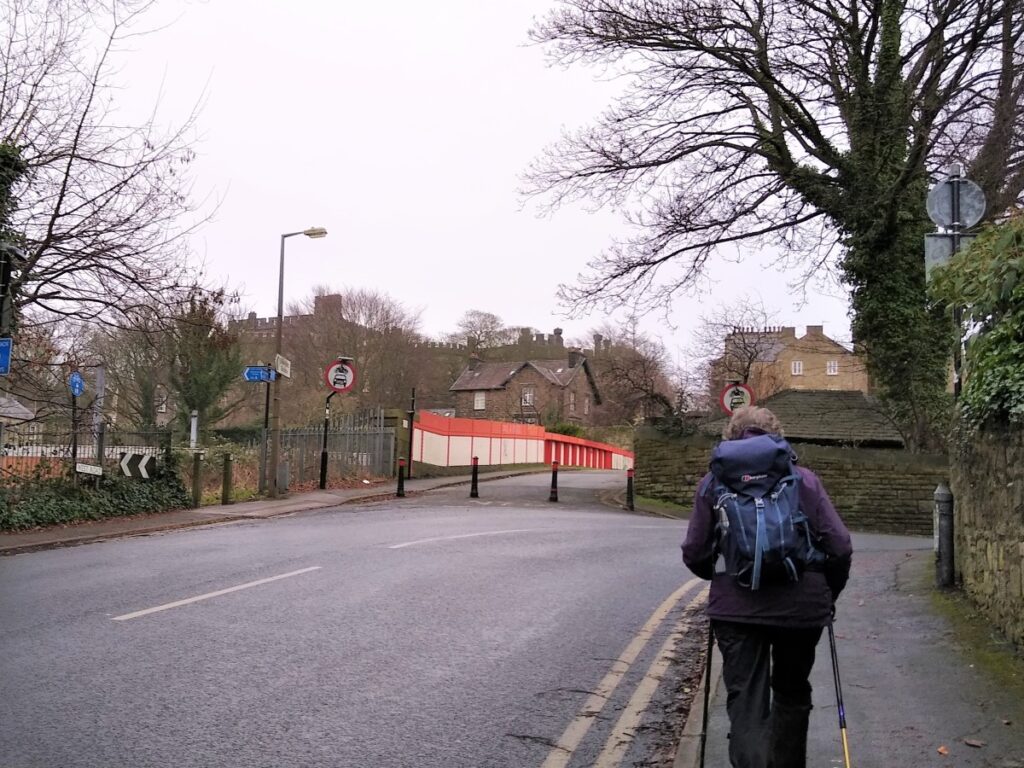
At the end of Edward Street, we arrive at Moor Lane where we turn left and walk uphill where we soon find the bridge over the Lancaster Canal. Take the footpath down to the towpath and turn right, to head south though the city centre – the Spire of the Cathedral will be ahead and on the left.
The Canal was originally conceived to address an issue of getting sufficient materials through the port at Lancaster – which was notoriously difficult to navigate for larger craft. The original intention was to build a canal running South from Kendal to cross the Ribble on an aqueduct and then connect to the Leeds Liverpool Canal, allowing a direct link to Liverpool. However, when the scheme was costed, it was considered non-viable, and so larger docks were constructed at Glasson instead, with transfers initially by road.
The road transfers still proved problematic however, and interest in the canal re-emerged. At the second attempt, the ambition at the Southern end was reined in, and a link to Glasson made a key part of the proposal. This time finance was raised, and the canal from Preston to Kendal with a branch to Glasson opened fully in 1826 – a date that was dangerously close to the march of the railways.
The canal company realised the threat posed by railways and took a most unusual step – they bought the Lancashire and Preston railway company allowing themselves to create a system where the railway carried mostly passengers and the canal mostly goods in a peaceful coexistence. This arrangement came to an end when an act of parliament instructed the L&PR to allow their lines to be used by trains heading north to connect to other operators’ lines heading into Carlisle.
This change, and an accident at Bay Horse – which may well have been caused by The L&PR trying to impede progress of other operators’ trains – resulted in LNWR buying the railway and the canal. Inevitably, trade on the canal diminished, and the last commercial cargo was carried in 1947.
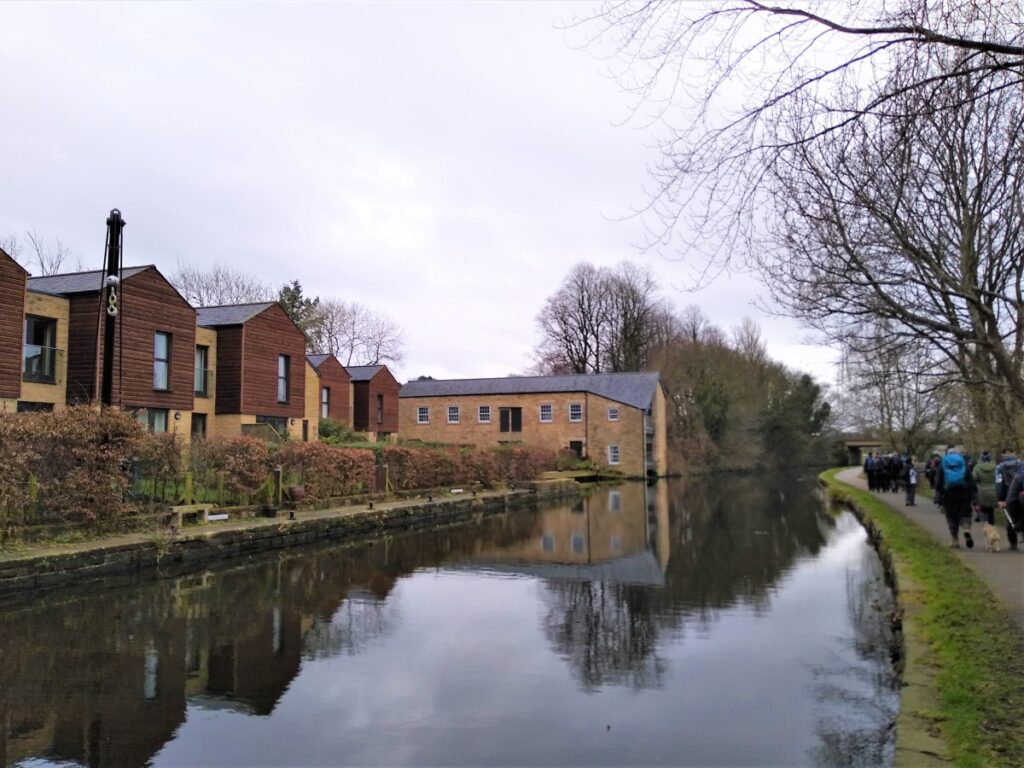
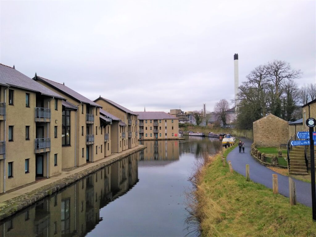
The canal now is typical of many city-centre canals – a welcome “green” artery offering a brief respite from the bustle of the city and a glimpse back to the industrial heritage that created them.
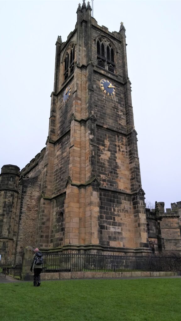
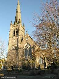
Continue along the canal towpath, and continue to head South. The towpath is initially on the West of the canal as it passes Lancaster Cathedral, also known as The Cathedral Church of St Peter. This attractive building was a Roman Catholic parish church until 1924, when it was elevated to the status of a cathedral.
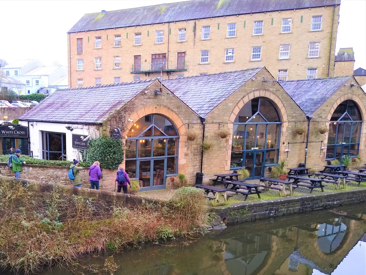
At the next bridge, where Quarry Road crosses the canal, the towpath changes side – so make sure you swap over and walk along the frontage of the White Cross pub – the path on the other side reaches a dead end.
Follow the towpath further south, past the road bridge where the A6 crosses the canal, until a second waterside pub is reached – the Waterwitch. At this point the canal is noticeably wider – this is Chancellors Wharf, where waterside warehousing and loading took place – so the canal needed to be wide enough to turn boats around. The warehouses are now gone, and student housing, styled like canal side warehousing, now dominates.
At the next bridge the towpath again changes side, and there is a “turning bridge” – a canal structure designed such that horses towing the boats could swap sides without unhitching the tow line.
Continue to follow the canal, noting the bridge where the West Coast Main Line railway crosses. Before there though, note some of the few remaining original canal buildings and cranage on the far side of the canal.
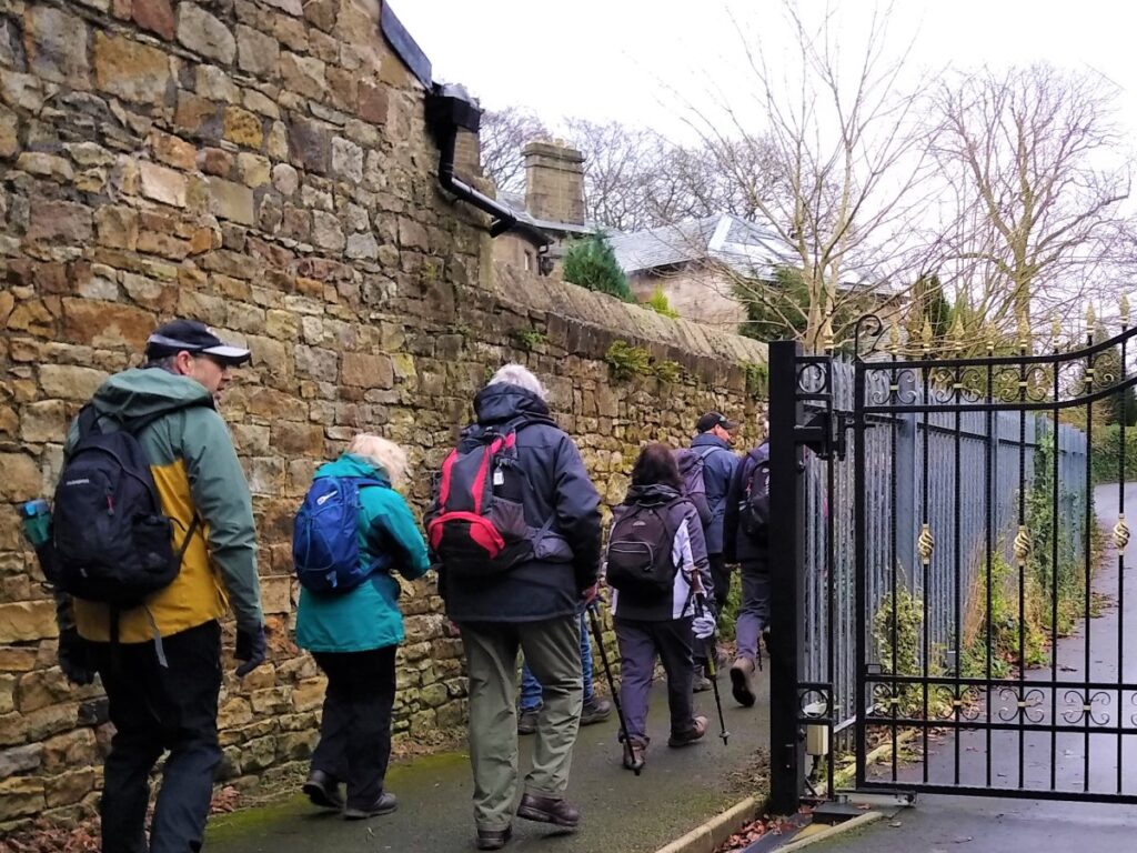
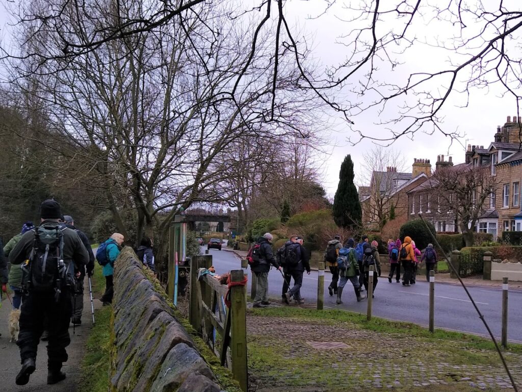
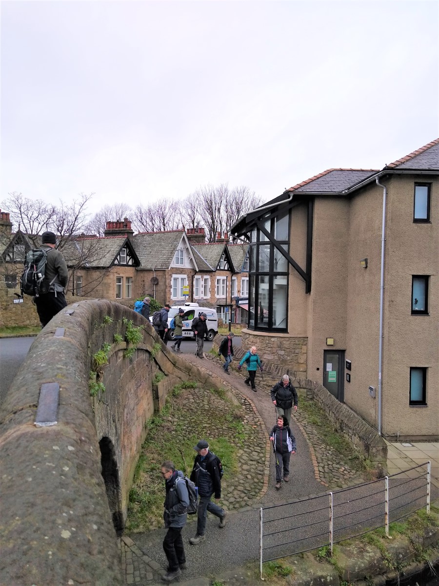
Just after the railway bridge, leave the canal and head to the adjacent main road. Cross over and continue in the same direction as before looking out for a side street called Cromwell Road.
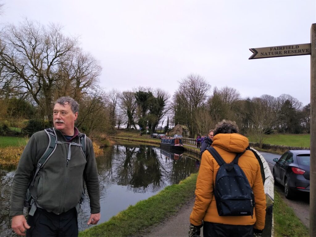
Turn Right down Cromwell Road to pick up the footpath through the Fairfield Nature Reserve
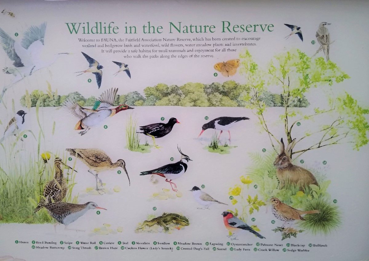
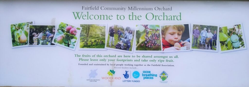
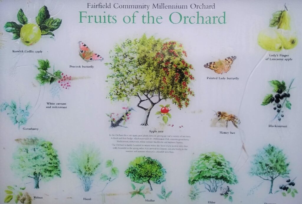
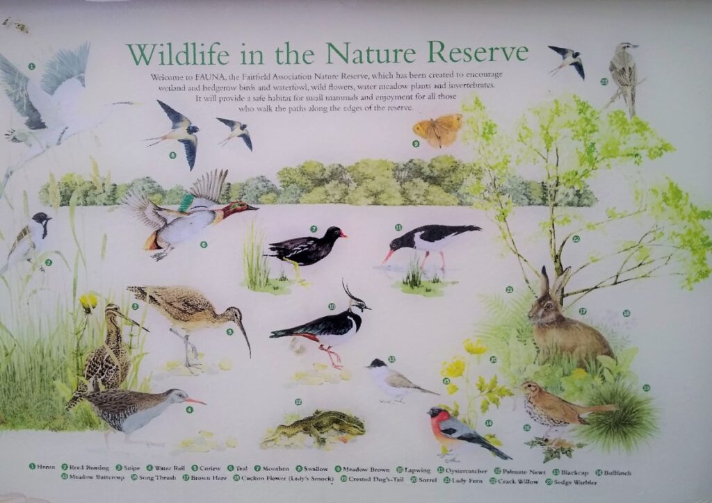
The Nature reserve is an interesting story, and it’s well worth visiting their website: http://www.fairfieldassociation.org/index.html for the full detail, but the quick summary is . . .
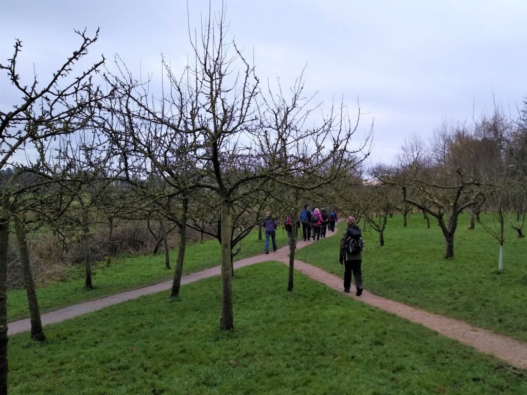
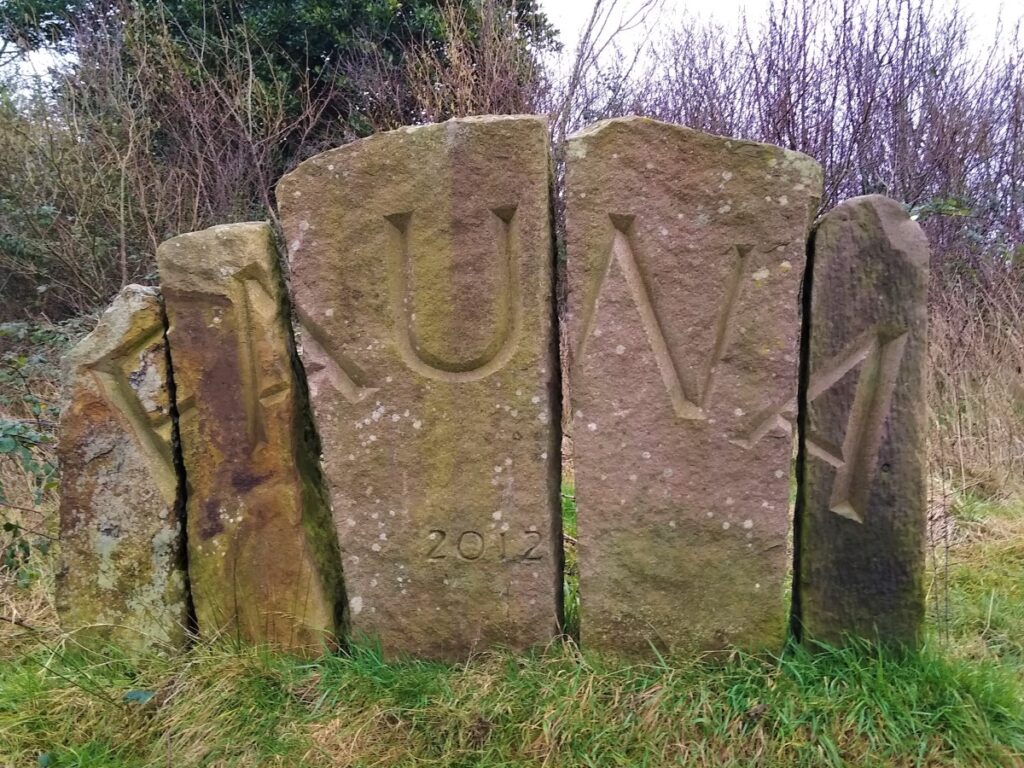
The Fairfield Association was formed by residents and friends of the Fairfield area in 1996, in response to the threat of housing development on a long-established children’s play area known locally as Fairfield Green. The Fairfield Association saved the play area, improved it and installed new play equipment in 2004. Encouraged by their success and community cohesion, other projects followed. In 2000, the Millennium Green and Community Orchard was created and in 2012/13 the Fairfield Association established two linked nature reserves on nearby farmland. The first of the these was “Fauna”, the second “Flora”.
There are clear and accessible paths though the entire site, and the success of the whole project is such that the project earned a well-deserved Queen’s Award for Voluntary Service.
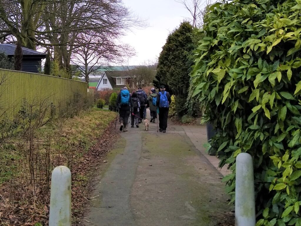
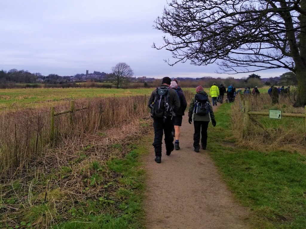
Follow the path through the nature reserve – navigation should not be a problem as the route is clear and well maintained, but in essence we loop round in a large circle and eventually come back to the canal a little further south than before.
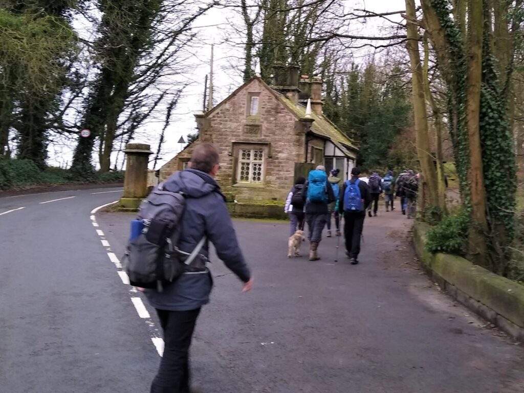
Cross the road and turn right to follow the tow path – but only for a very short distance. Keep an eye open for a road on the right, adjacent to a lodge house.
This is Aldcliffe Hall Drive, and it leads through quiet roads and detached housing. The road soon ends, but the path continues past concrete bollards and many helpful signs which ensure you don’t accidentally transgress in any way.

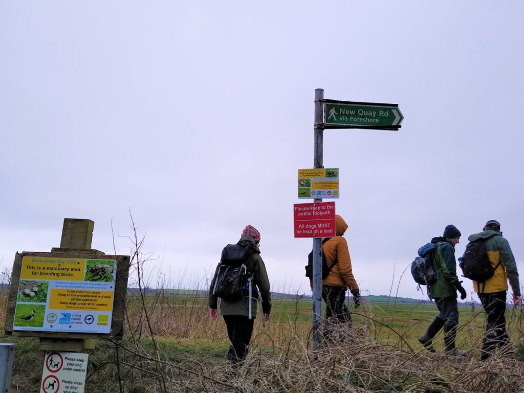
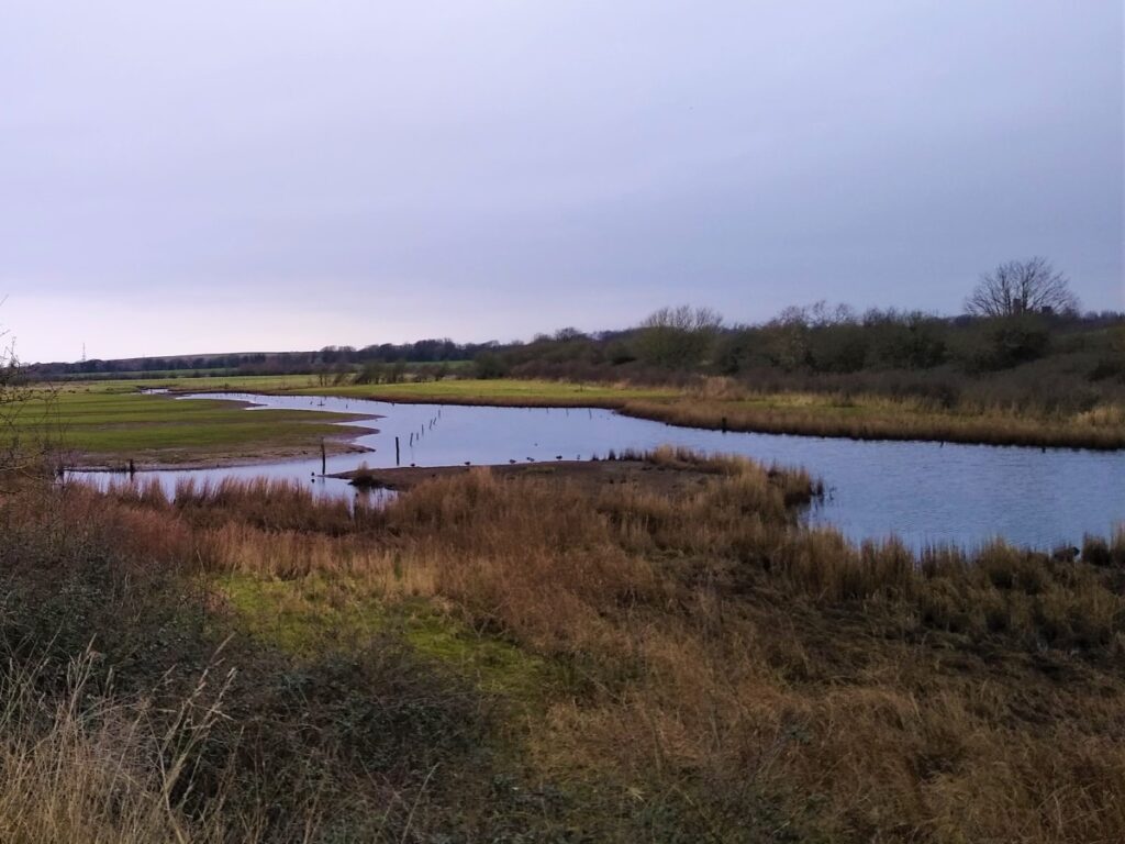
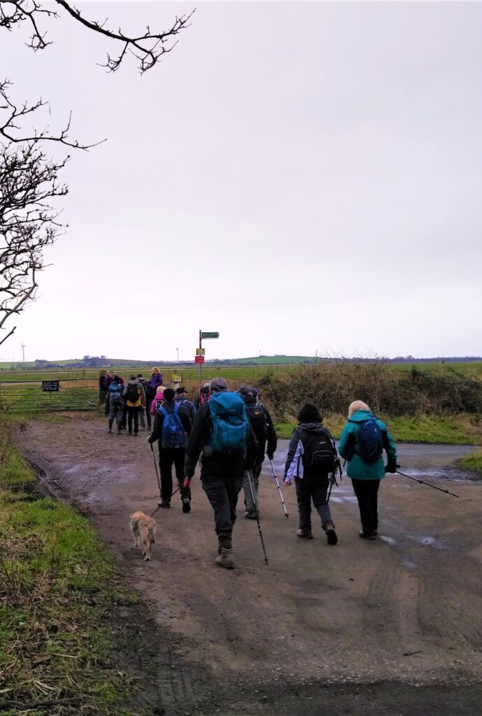
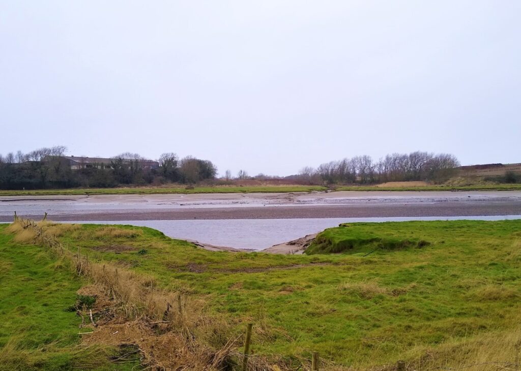
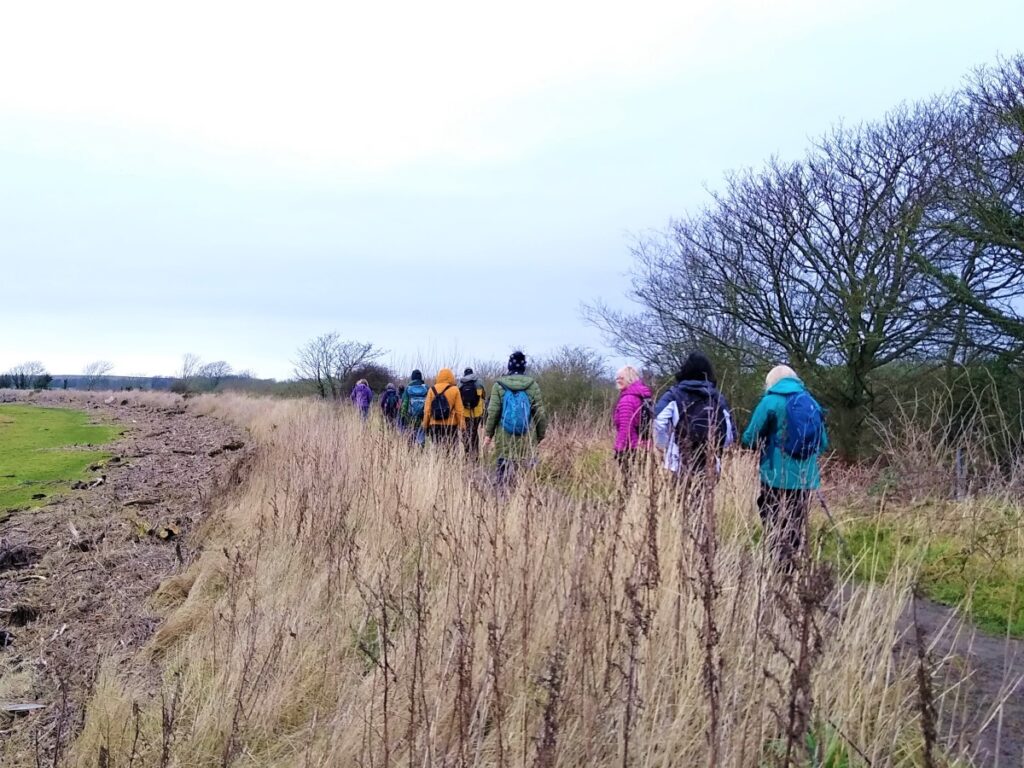
We soon arrive at a track, shown on the OS map as a minor road: We turn right here and head out toward the estuary. We eventually reach the Lancashire Coastal Way, and follow it to the right taking the path along the embankment at the side of the river Lune, heading upstream and back toward Lancaster.
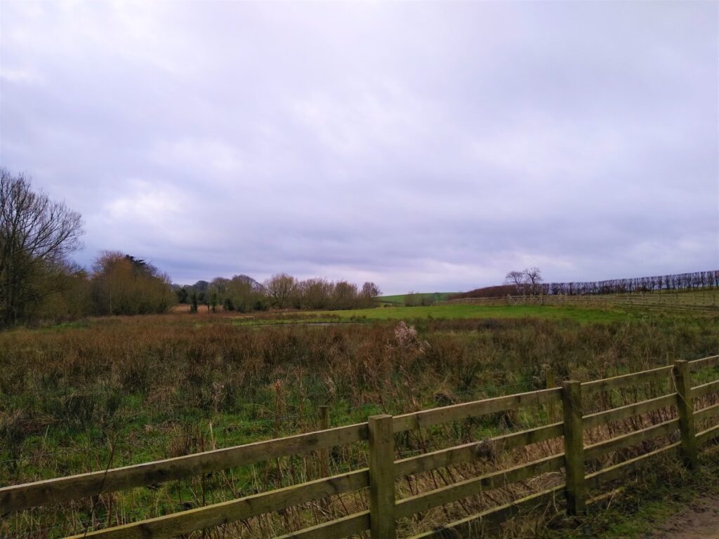
To our left are the mudflats of the estuary, and to the right are marshes. Both are protected areas with much to offer bird spotters.
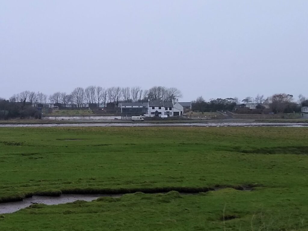
After a while the river curves round to our right and we see a white building opposite. This is officially known as the Golden Ball Hotel, but more usually referred to as “Snatchems”. There are several stories of how the nick name ‘Snatchems’ came about; one is from when all the local farmers used to gather for a drink in the mid-1700s, in those days many farmers made a living thatching roofs and the pub was nick-named ‘Thatchems’. A more interesting explanation is linked to the River Lune’s past as a major shipping channel and suggests that as the tall ships were being prepared to sail out on the high tide, they would check how many men they had and make up any short-fall by sending a boat across to the pub and ‘Snatch’ anyone they could.
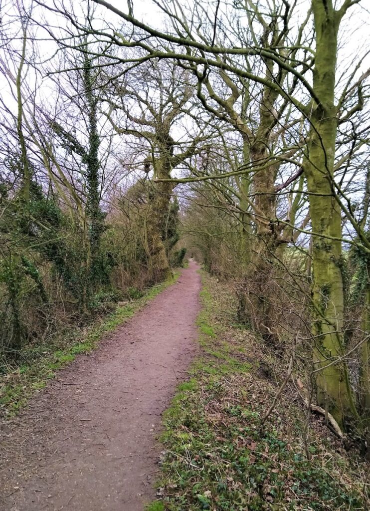
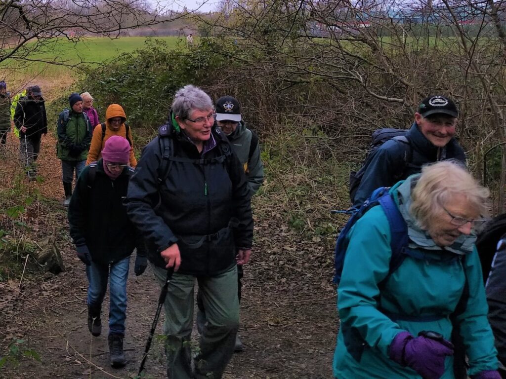
Slightly beyond “Snatchems”, the Lancashire Coastal path meets a path heading inland at Freemans Wood. We take this path, now heading SE following a drainage ditch on a clear and well surfaced path. This crosses a track and carries on as before along the side of the woodland to arrive back at the edge of the city – at Abrahams Heights.
The road that we arrive at is Willow Lane and we turn right here, crossing immediately and taking a left at the next junction to walk up Westbourne Road. We could follow Westbourne Road all the way back to the city centre, but instead, look out for “Piggy Lane” on the right – this provides a more interesting shortcut with reduced road traffic.
At Piggy Lane, walk to the left of the gates, then follow the path round – first to the right and then to the left – before joining the end of Sunnyside Drive, where we turn left. An interesting point to note here is that if you go right instead, this alternate path takes us directly into the Fairfield Nature Reserve again.

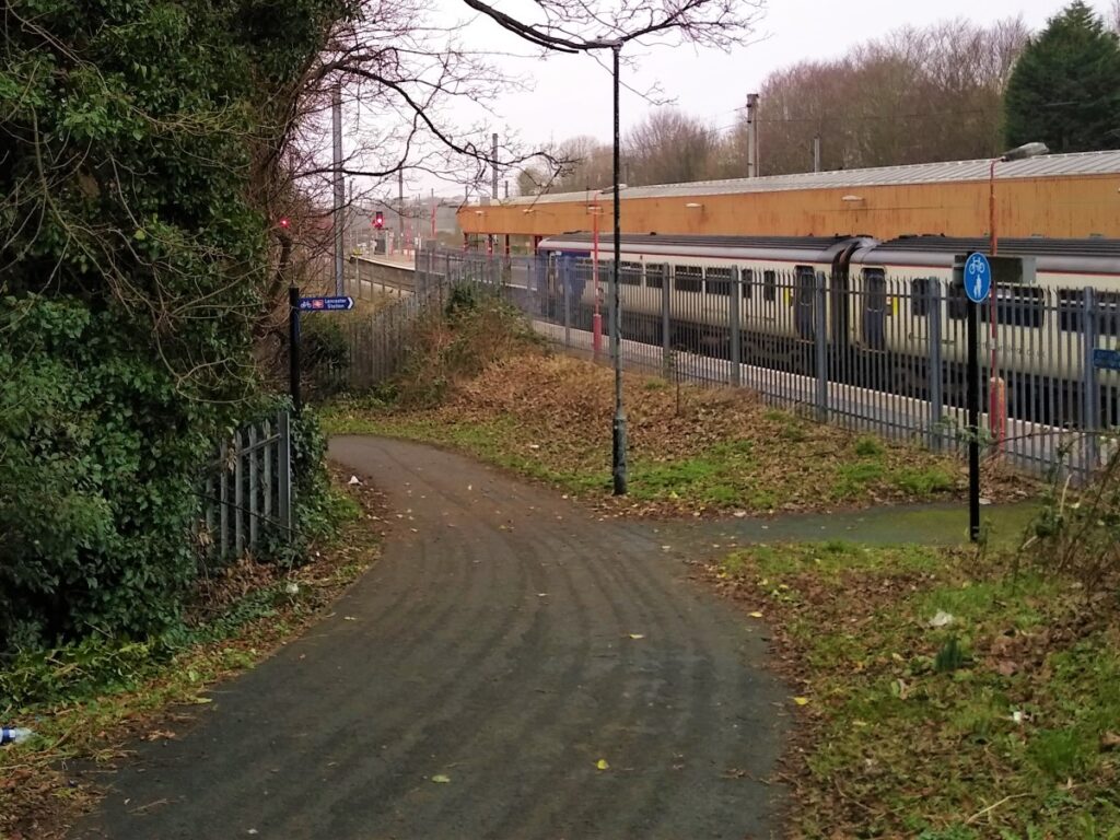
We now follow Sunnyside Lane North until we arrive at back at Westbourne Road, where we turn right before crossing and taking Fairfield Road on the left. This ends at West Road where we turn right and cross immediately to take the path adjacent to the railway station.
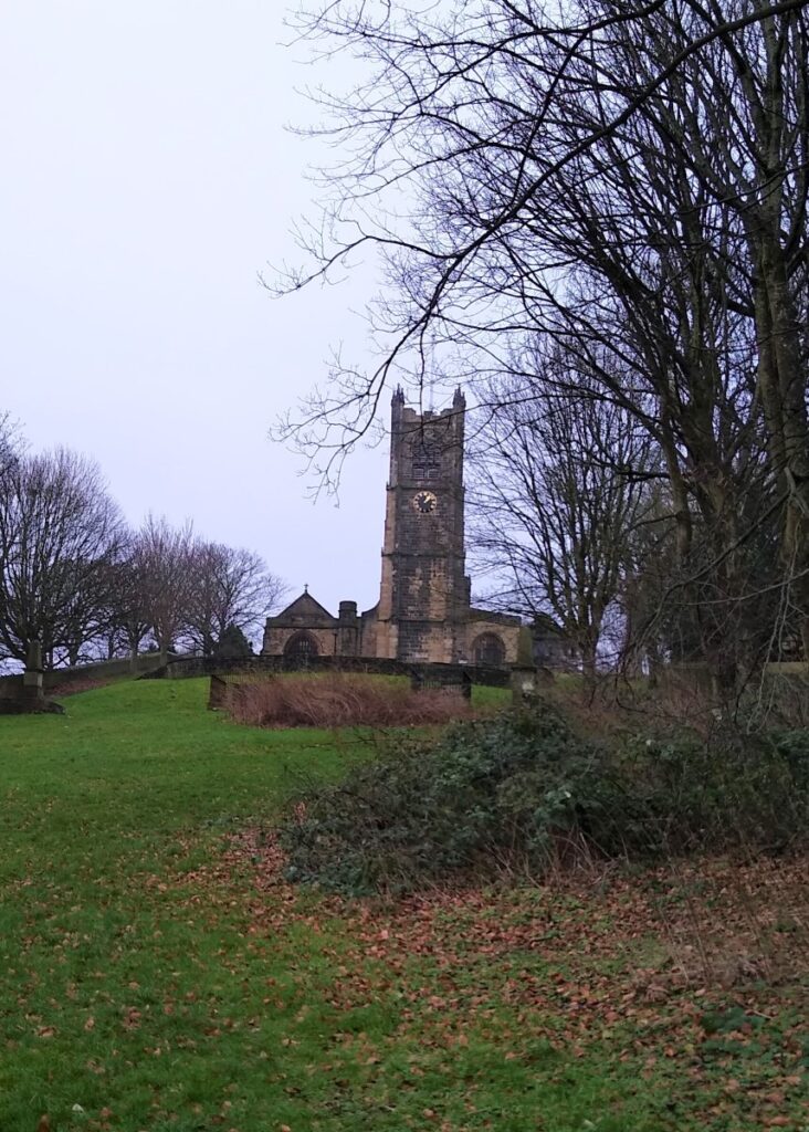
This takes us through playing fields, whilst remaining parallel to the railway until we arrive at Long Marsh Lane where we take a right and pass underneath the railway, before crossing and taking a path immediately on the left which takes into the fields below the rather imposing Lancaster Priory Church of St Mary.
The path winds up the hill to the church, and as we climb, the castle comes into view. If we look backward, and the day is clear, so do the Lakeland fells.
The Priory is a fine Grade I listed building, with a wealth of history. The site is believed to have hosted a Roman fort, a pre-Saxon church, then a Saxon Church, before the Priory. The building is open to the public – details via their website: https://lancasterpriory.org/
Adjacent to the priory is Lancaster Castle. Its early history is unclear but was probably founded in the 11th century on the site of a Roman fort overlooking a crossing of the River Lune. In 1322 and 1389 the Scots invaded England, progressing as far South as Lancaster and damaging, but not taking the castle.
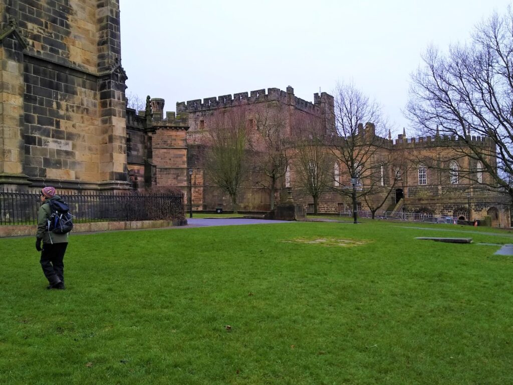
The castle was first used as a prison in 1196 although this function became more important during the English Civil War. The castle buildings are owned by the British sovereign as Duke of Lancaster, and part of the structure is still used to host sittings of the Crown Court. Until 2011 the majority of the buildings were leased to the Ministry of Justice as HMP Lancaster, after which the castle was returned to the Duchy’s ownership.
The castle is now open to the public seven days a week and is undergoing a large-scale refurbishment. There is a large sweeping public piazza, allowing access to the cloistered area, renovated in 2019.
A new section of the café has been built, against the old outer curtain wall, which was reduced in height to afford views of the neighbouring Lancaster Priory.
Again, much more information can be found at their website:
https://www.lancastercastle.com/
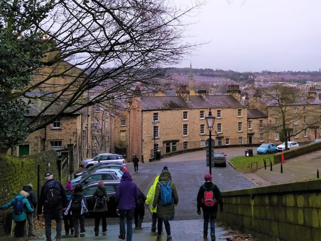
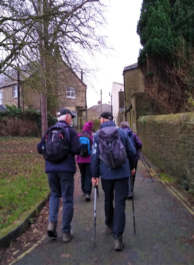
From the Castle and Priory, we head downhill and down the Church Street steps into the city centre, with the walk ending in our case at the bus station where the bus back to the Park and Ride facility can be found.
It goes without saying that as a major city, Lancaster has a wealth of other interesting things to do and see. This website is a good starting point: https://visitlancaster.org.uk/
- Total distance 10.6 km (6.6 miles)
- Total Ascent 319 m
- Easy walk