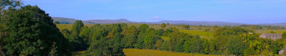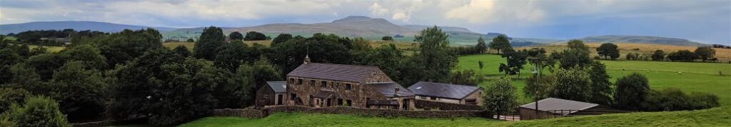
Chapel le Dale and Ingleborough environs
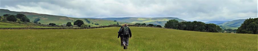
8.0 miles | 12.9 km | 226 m Ascent | 9.2 Naismith miles | Kate Rowe
Last week’s walk to the Old Man of Coniston from Torver was a real treat, but it’s not a walk that you could decide to do whilst eating your breakfast and be back in Bentham by mid-afternoon.
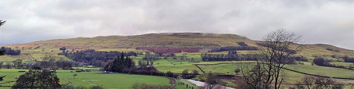
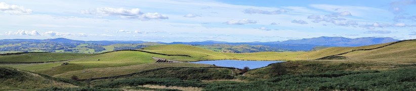
So, this week we offer a more local walk: For those of us lucky enough to be based in Bentham it is easy to get to, and despite being on the slopes of both Ingleborough and Whernside is generally quiet and peaceful.
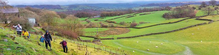
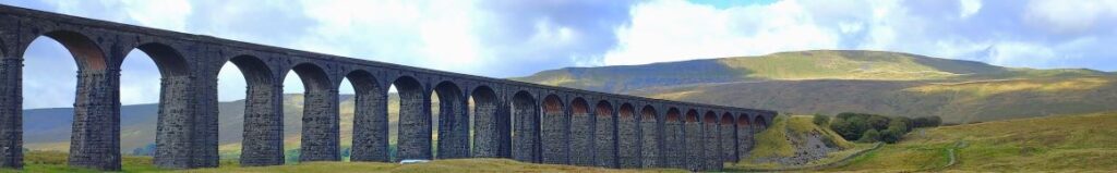
We visit a lovely church, see a well-known statue, walk under the most photographed railway viaduct in the UK, have lunch in a nature reserve, before passing close to Viking settlements, seeing some wonderful limestone pavement, and the entrance to a cave. There are great views of the hills all the way along, and you could even have an ice cream or a pub lunch halfway round.
Chapel le Dale and Ingleborough environs Read More »