A good number of Bentham Footpath Groups walks have centred on Silverdale, and on those we always enjoy views over the Kent estuary toward Hampsfell. In this walk we climb Hampsfell and look the other way, using the viewing platform at the Hospice as our highpoint.
We have walked in this area before, using Cartmel as our starting point offering a walk with moderate challenge, so this time we offer slight variation – we start from Grange over Sands and make the walk shorter and easier.
The aim here is to give the opportunity to spend time in Grange exploring what this delightful town has to offer.
We start the walk at the pay & display car park just beyond the park in the centre of Grange over Sands. Grange over Sands is easy to find, but for reference the OS grid reference for the esplanade is SD40807766, and the what-3-words tag is reward.scorched.smiles.
We walk to the end of the parking area below the park & gain access to it via a walkway onto the road. After walking through the park, we carefully cross onto Windermere Road near the mini roundabout. We walk up this & round to the left until we see a signed path to Routen Well & Hamsfield on the left just beyond the houses.
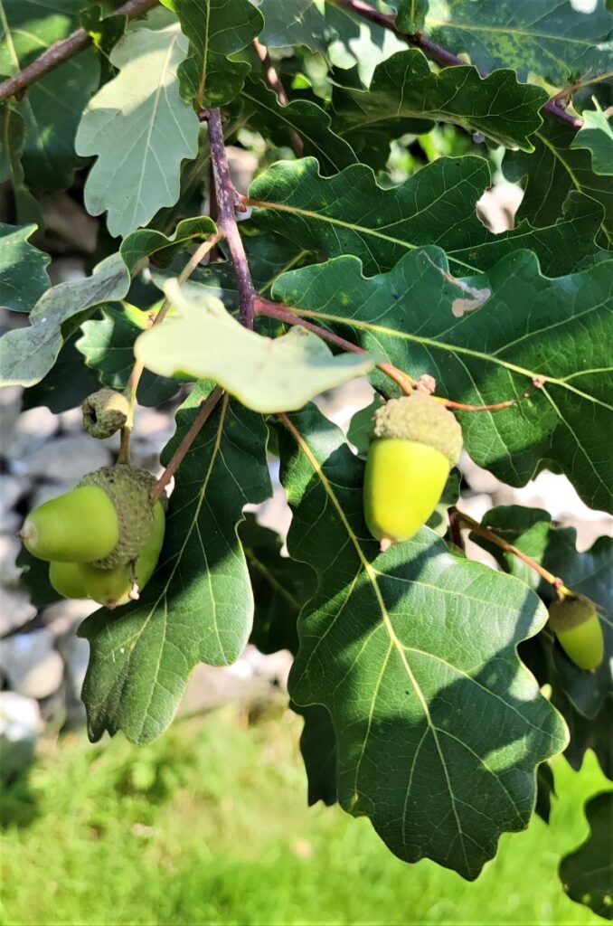
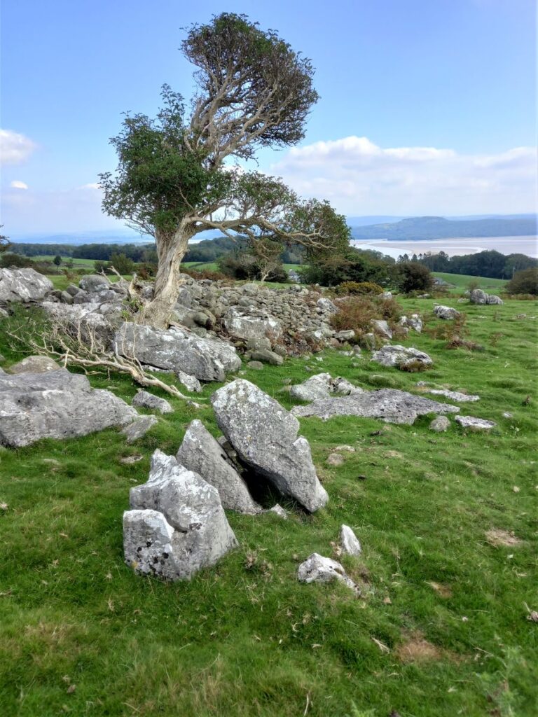
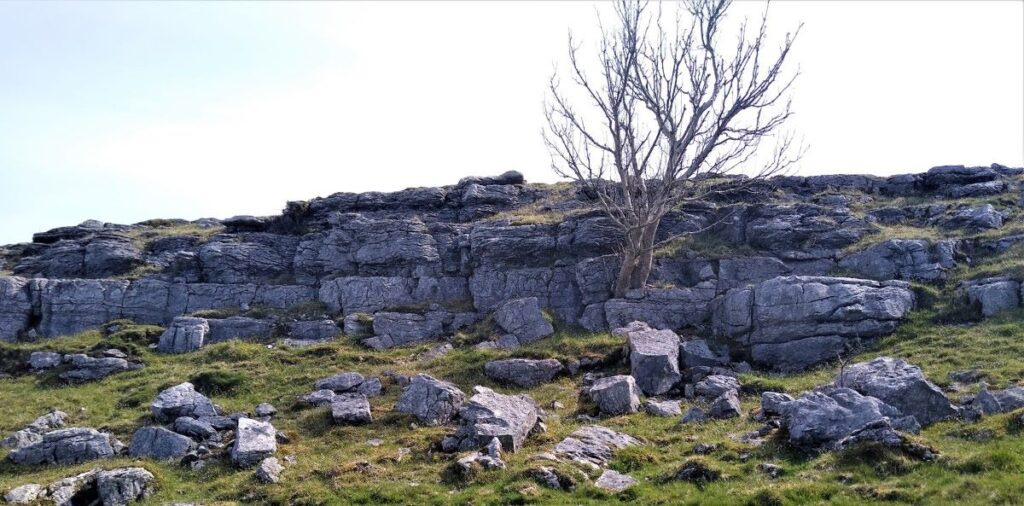
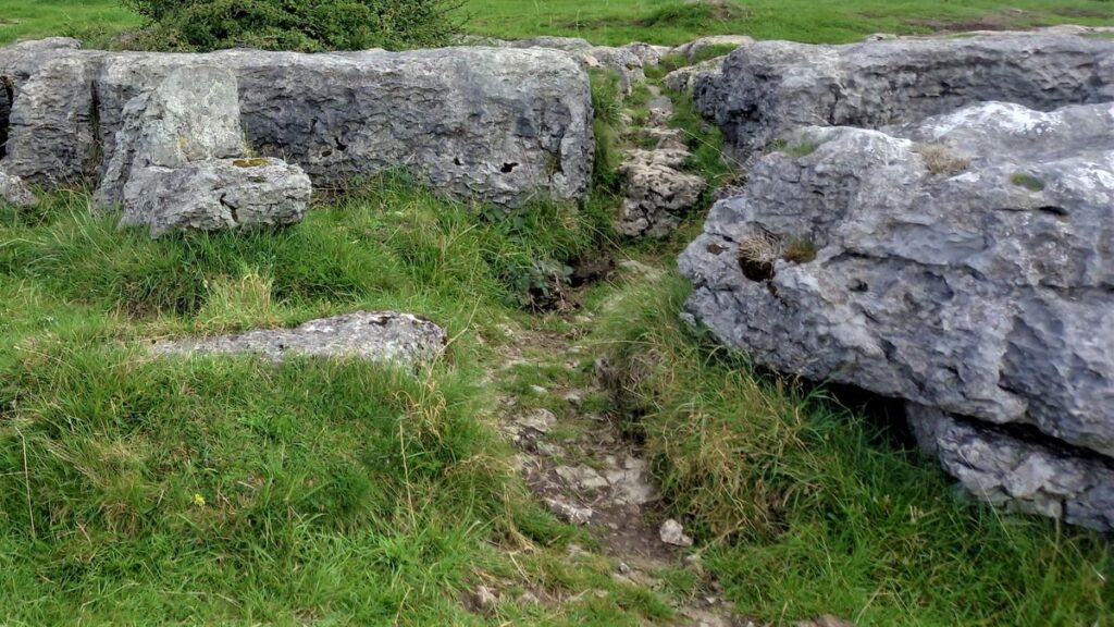
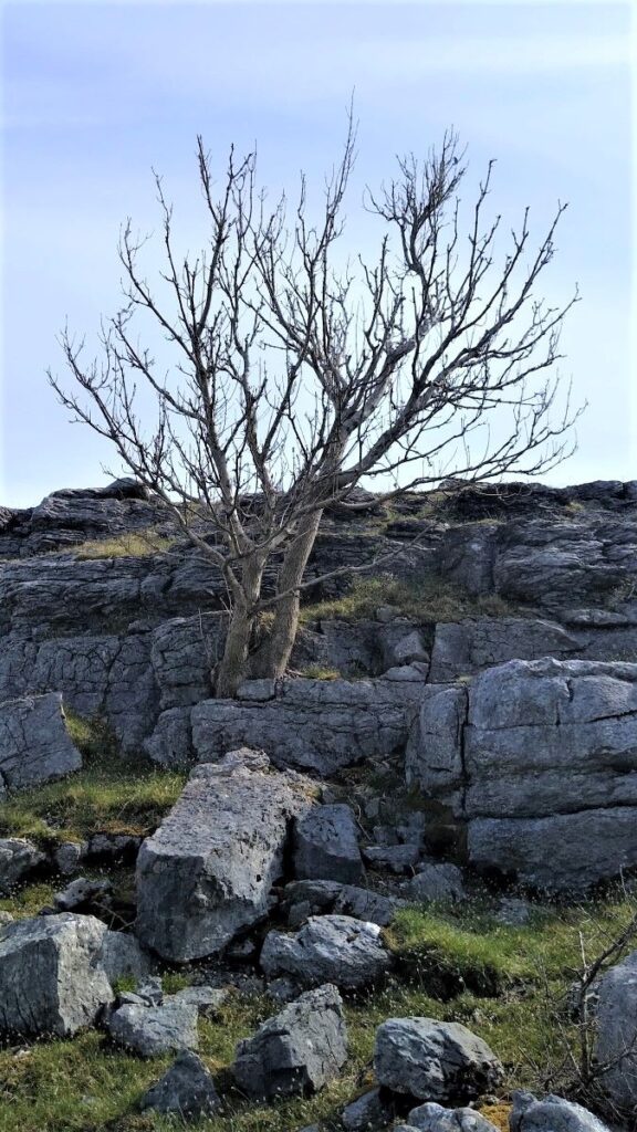
We carry straight on through Eggerslack Woods, crossing 2 driveways. Opposite the 2nd is a path to the left signed Hampsfell. Climbing up through limestone pavement we come to a junction of paths. Either fork leads to the same point, but we take the right hand one which passes some water supply tanks fenced in with railings, by some yew trees, which particularly appreciate limestone woods.
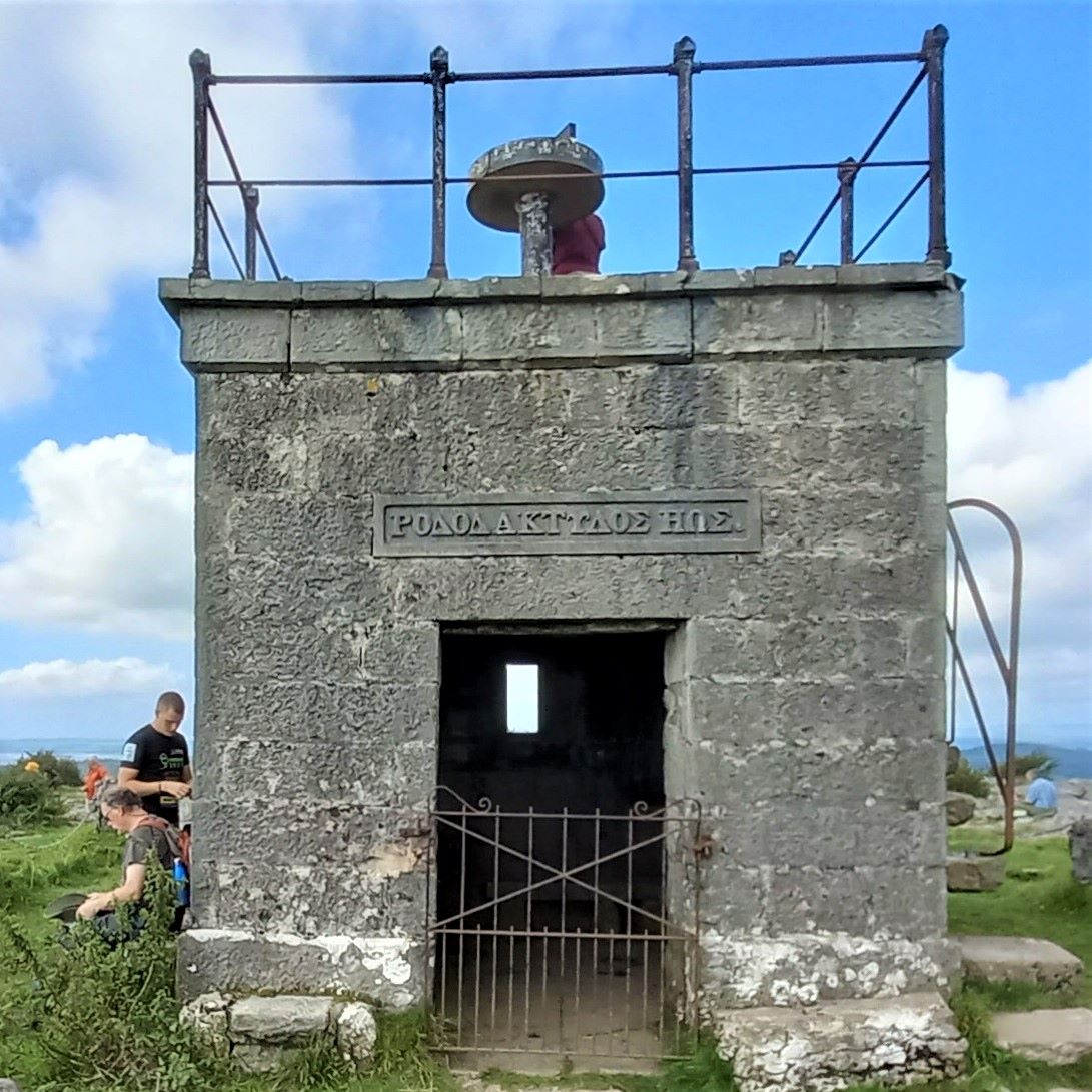
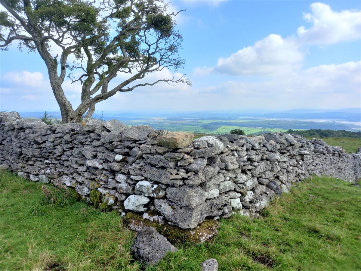
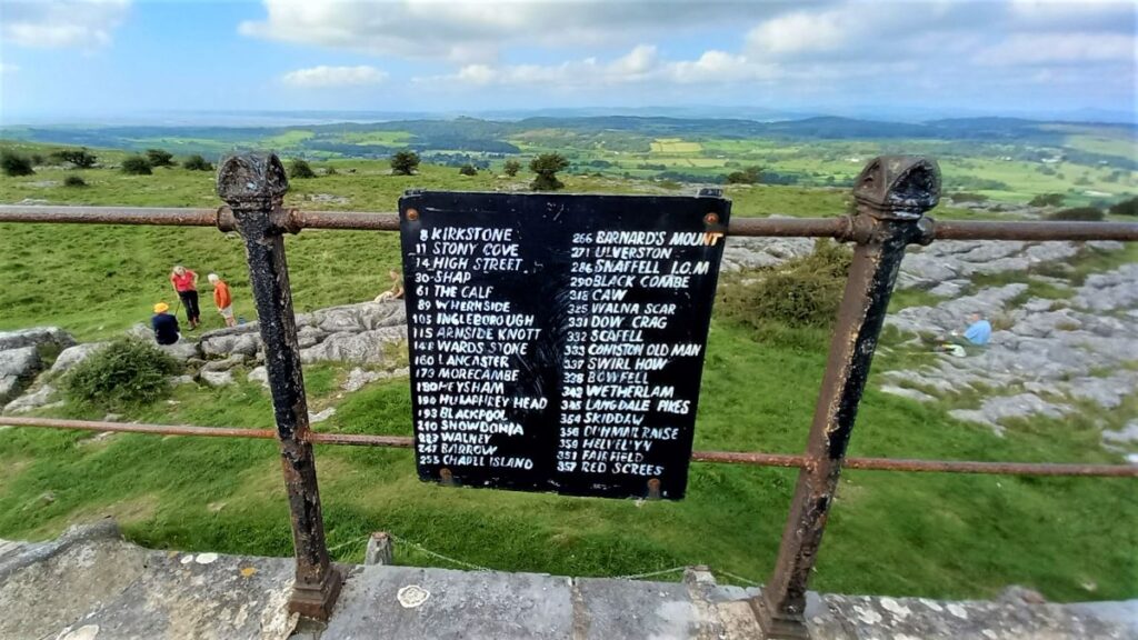
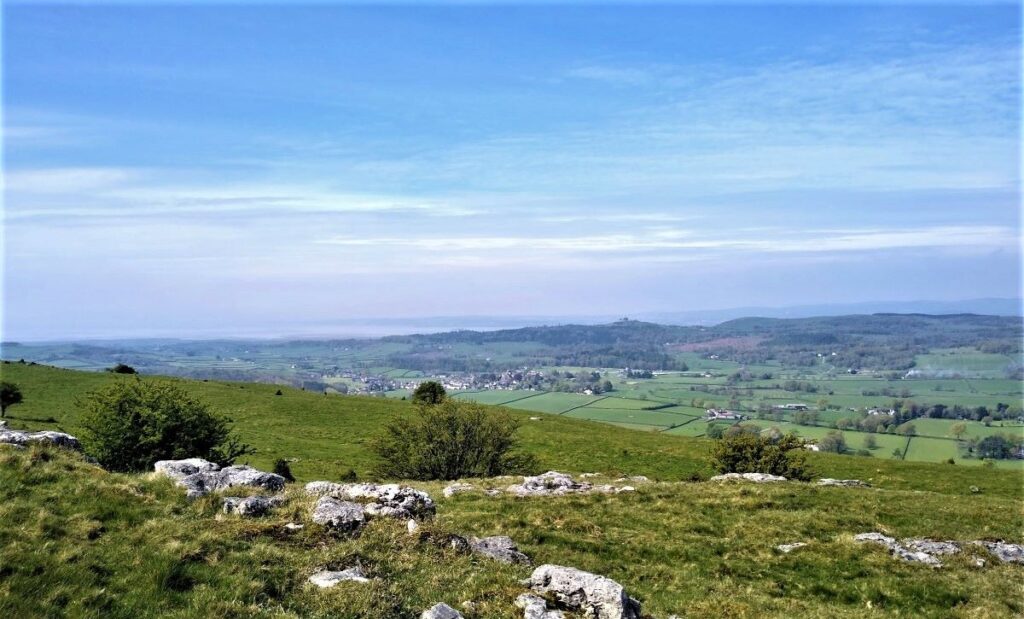
The path steepens, then emerges onto open fell at a stone stile. Crossing over this we take the route somewhat to the left signed Hampsfell. As the path steepens, we arrive at another wall stile. Crossing this we follow the wall to the right for a short way to reach a corner. Climbing a little further we can see the Hospice, the square building at the summit of the fell.
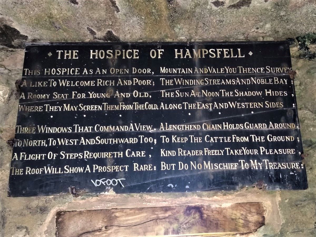
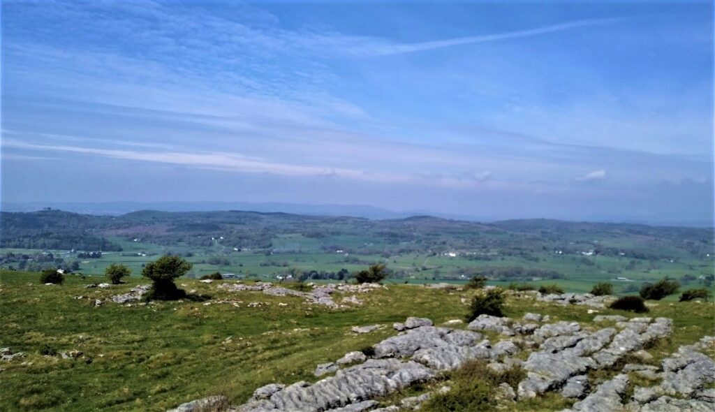
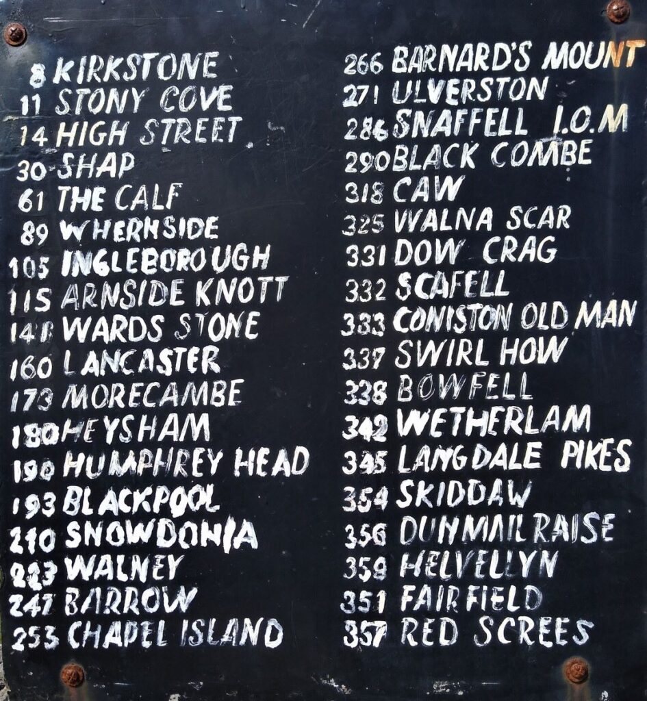
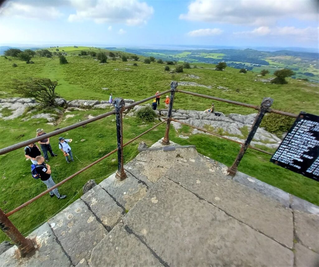
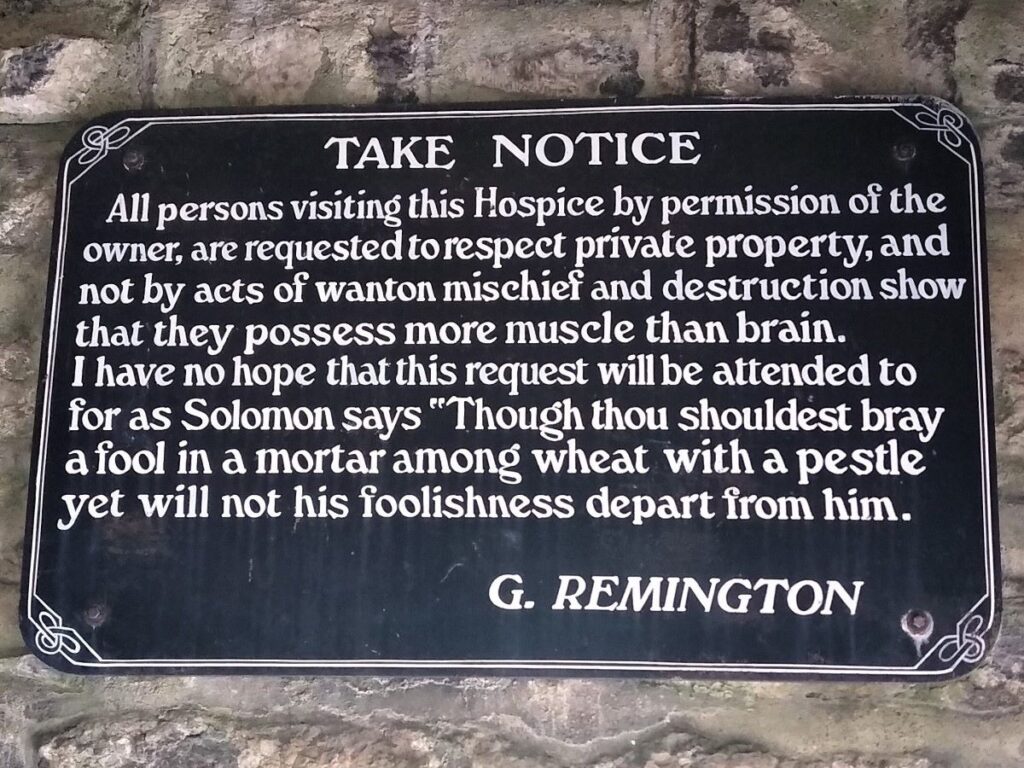
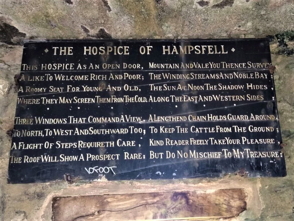
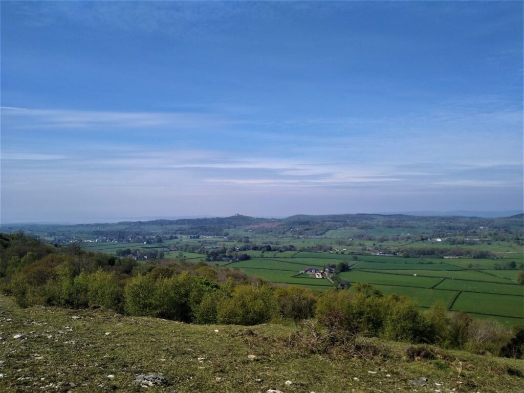
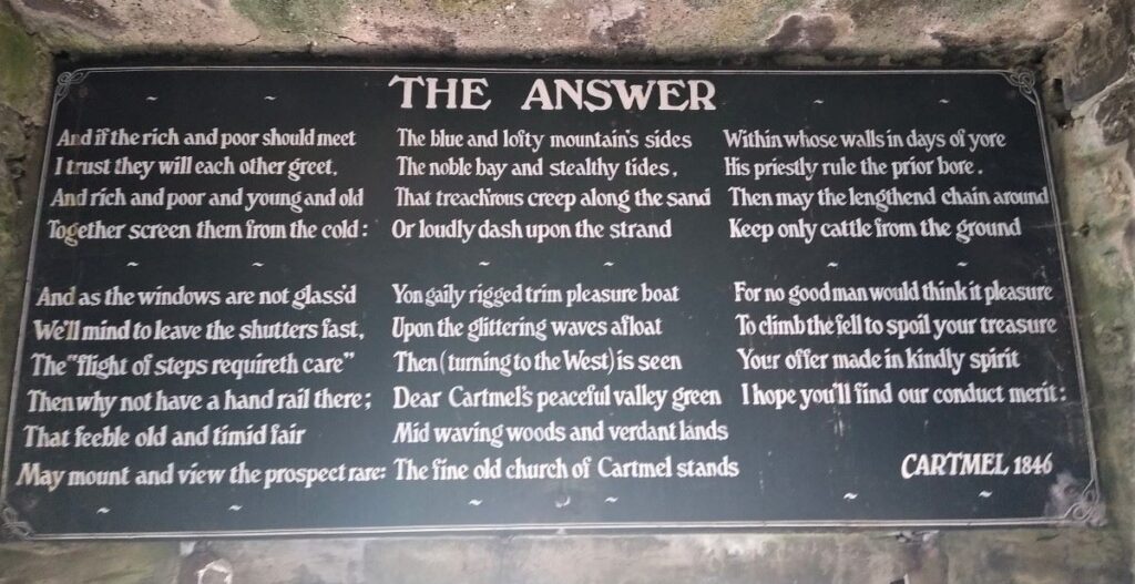
The Hospice was built 200 years ago, as a shelter for travellers. It is possible to reach the roof via an external stone staircase, but on a good day the view from even ground level is impressive. The salient features are Morecombe Bay, the Lakeland Fells, the Pennines & the Howgills.
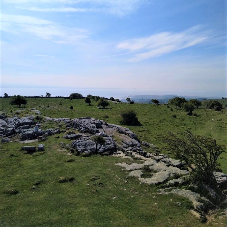
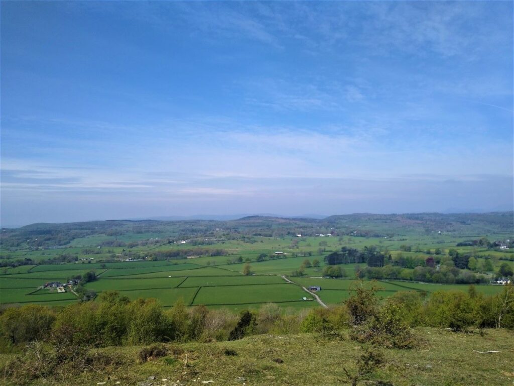
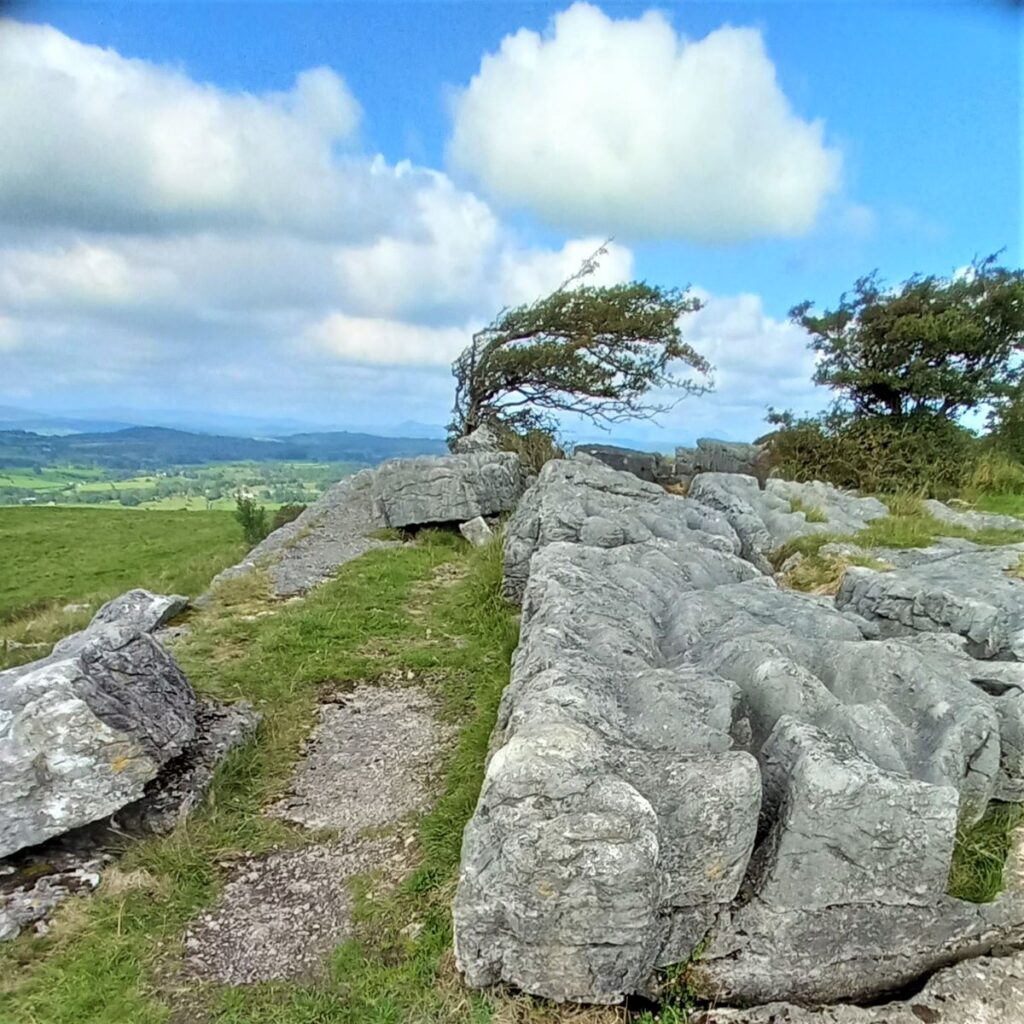
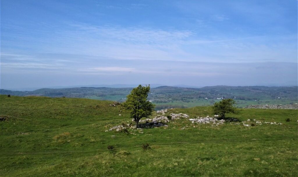
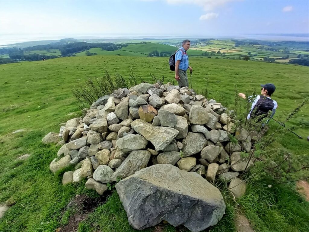
We take the SW path down Hampsfell, which is a clear path through the short turf. We pass a cairn & climb over a wall stile. After passing through a broken wall, we take the right hand of 2 paths, which goes uphill. After about 400 metres there is a gate & adjacent stile. Continuing ahead up the gradual climb to the cairn at Fell End, we get further excellent views, this time of Cartmel & Ulverston.
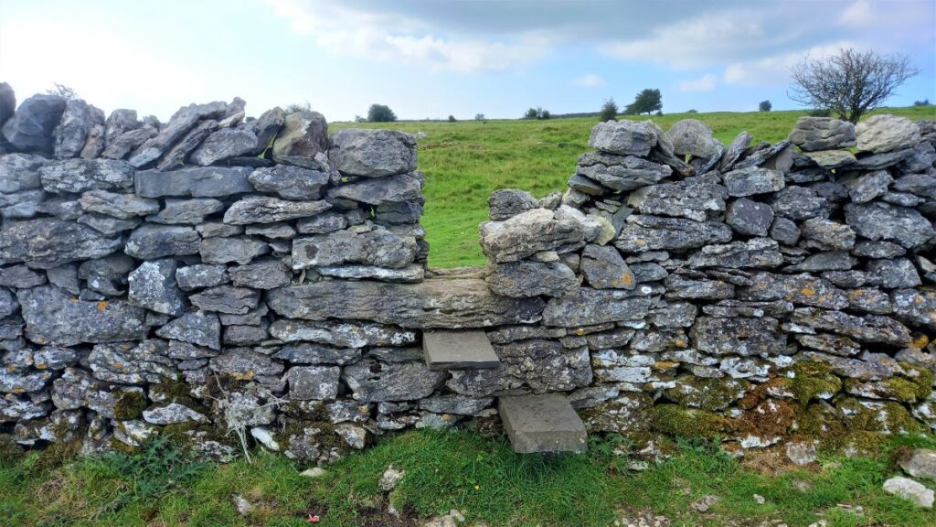
We then go down on the path which bears left between bushes towards the houses below. At a corner of a golf course, we turn right on a farm lane to the T junction with the main Cartmel/Grange Road. Here we turn right to walk carefully along for a short way to find a ladder stile on the left. Over this, we go down the field & through a small wood onto a smaller road. Turning left we walk down into Grange along this quieter road. At the T junction we cross over the Flookburgh road (B577) onto Cart Lane. We pass down this residential road & where it turns right, we go left towards the railway. This takes us on to the promenade & its cafes & other facilities & back to the car park.