Jump to . . .Step by Step | OS Map | Downloads | Gallery | Fly through
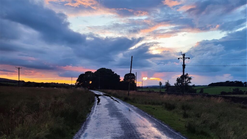
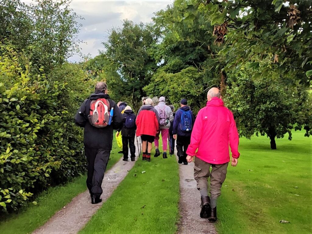
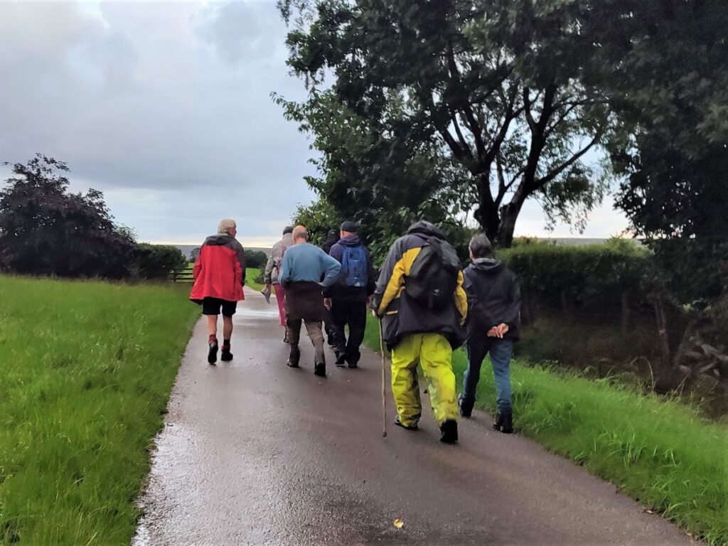
During the summer months, Bentham Footpath Group generally offers a walk in the evening – the aim is to take a short and easy stroll out of the heat of the afternoon sun, ideally with a brilliant sunset as a backdrop.
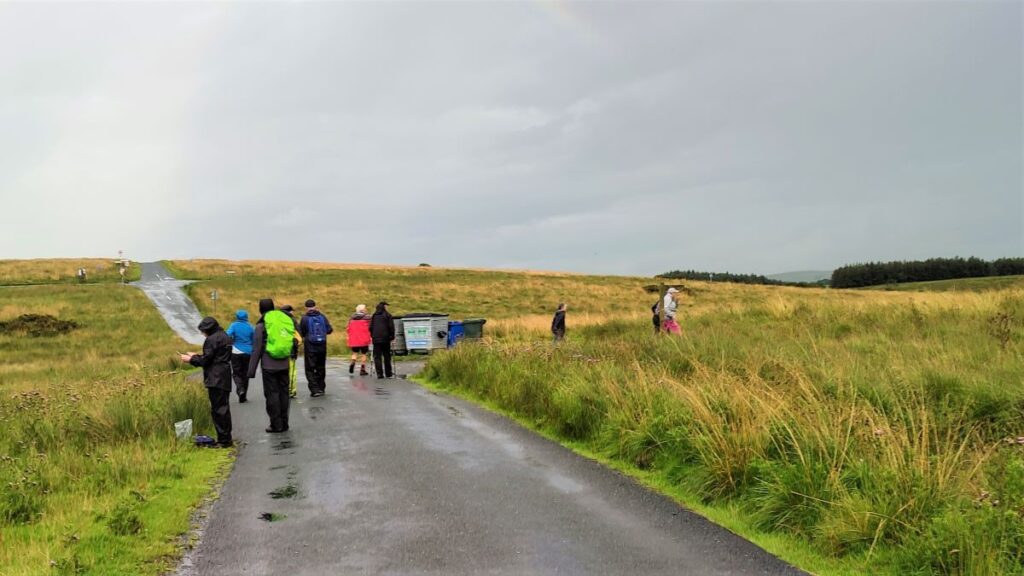
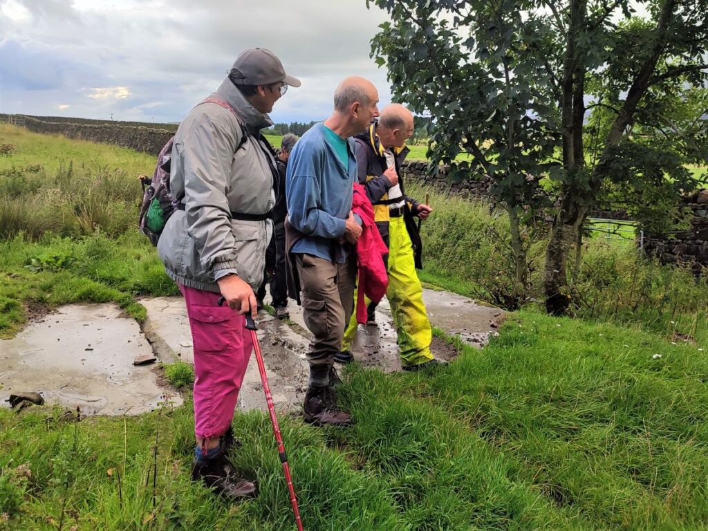
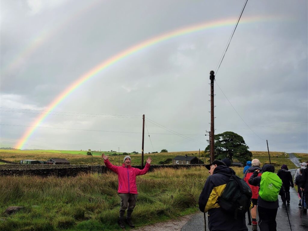
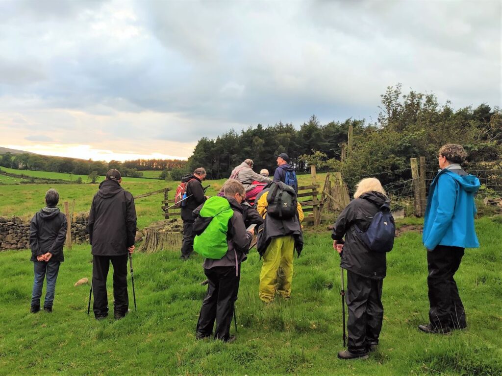
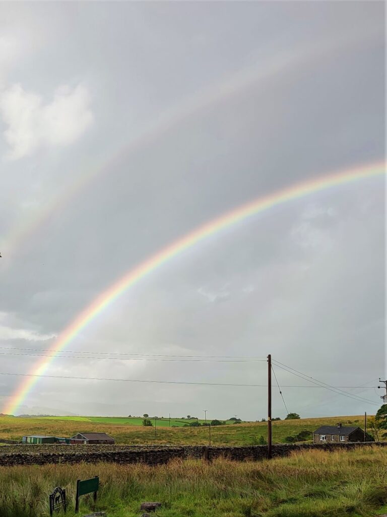
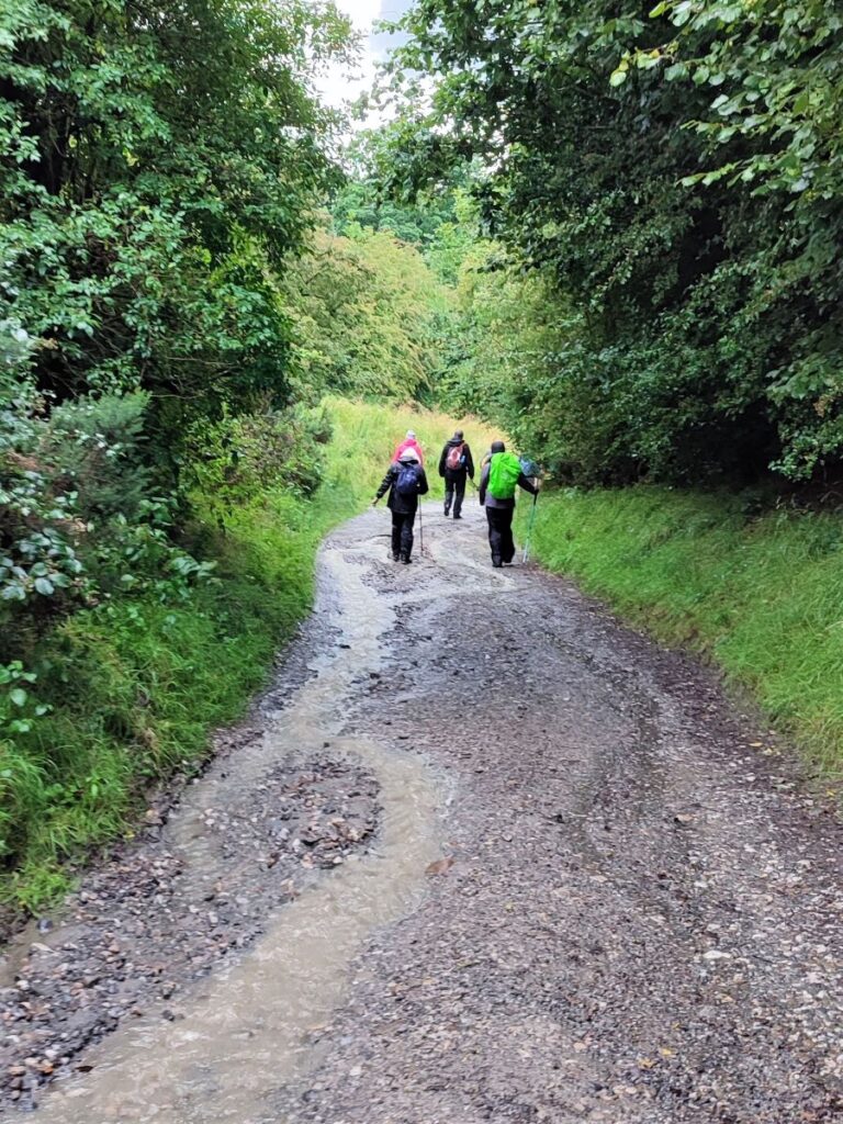
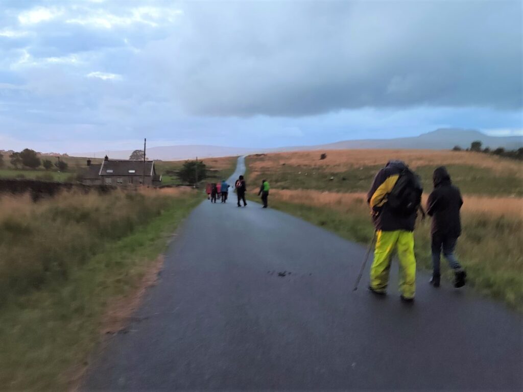
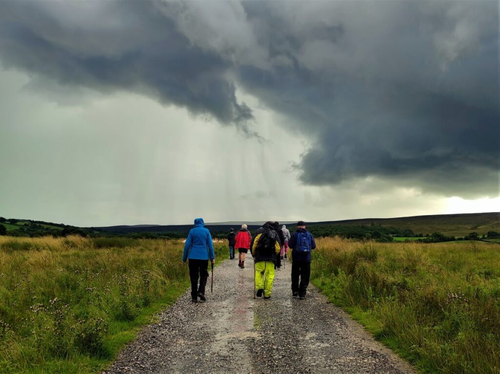
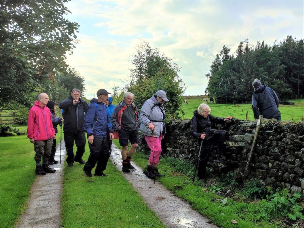
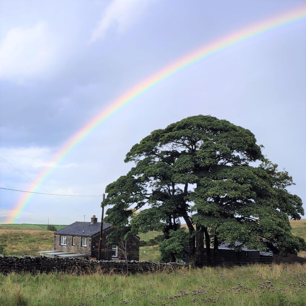
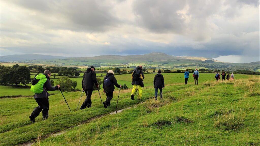
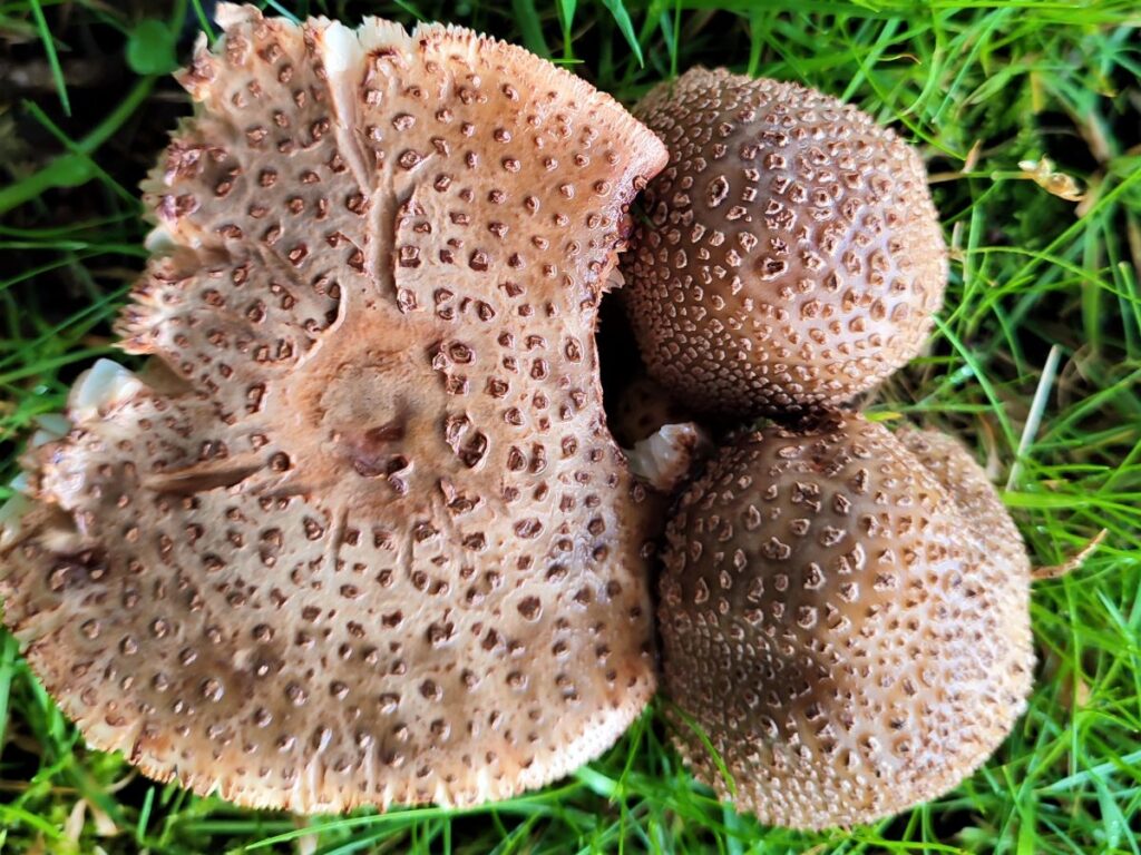
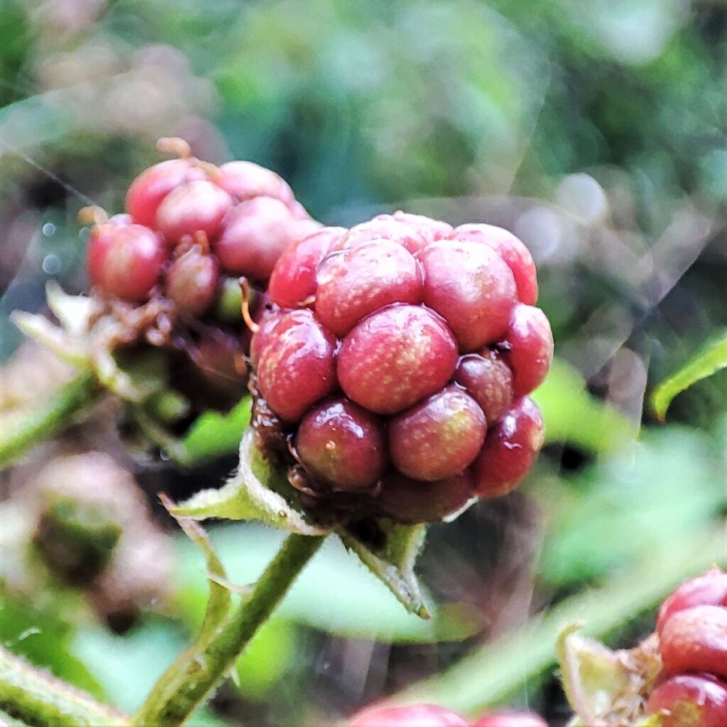
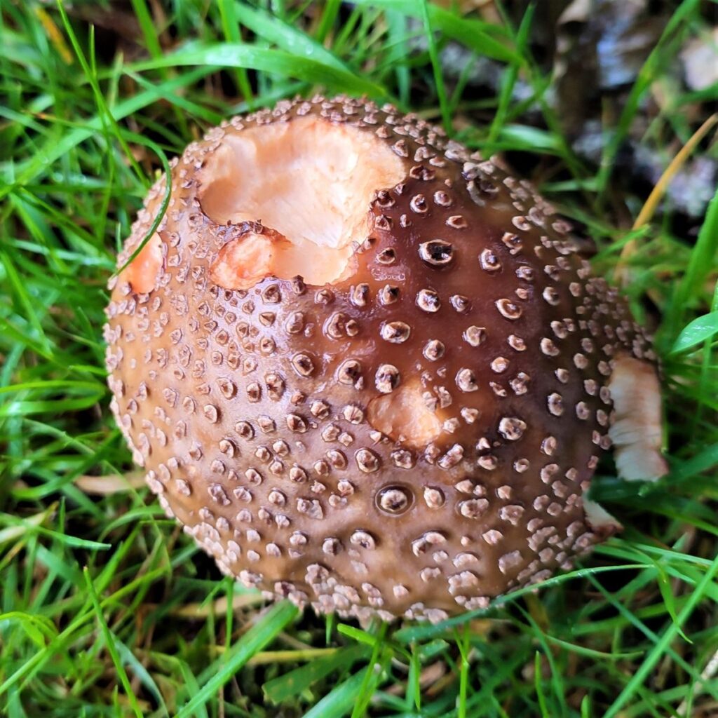
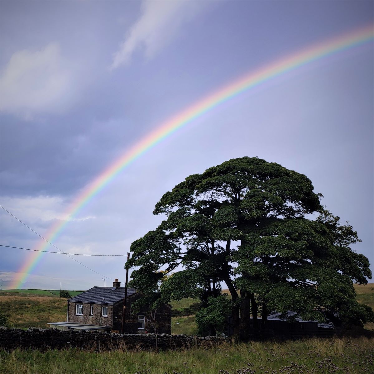
Things don’t always work out as we plan though – so although this is a great walk, the weather was not ideal, and our focus shifted to rainbows, brooding skies, unseasonably early fungi and unexpected streams – all equally beautiful in their own way.
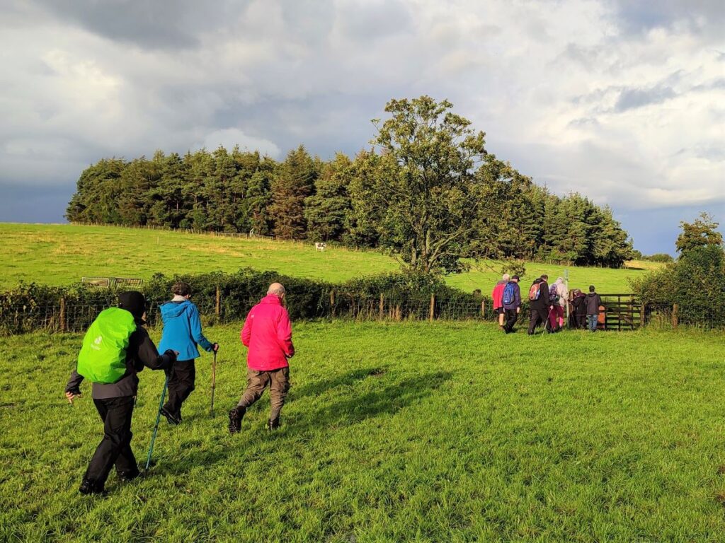
Shorter walks mean that it makes sense to start nearer to home, so we set off from Keasden Church just 5 miles from Bentham, and then took a meandering route made up of three intersecting loops – hence the name “Keasden Wander”. Each of those loops offers an opportunity to shorten the route, or indeed to connect with other paths to extend it, so as well as being a good walk in its own right, this route can be the basis for a longer full day of walking.
- Total distance 7.3 km (4.5 miles)
- Total ascent 117 m
- Easy walk
Step-by-Step

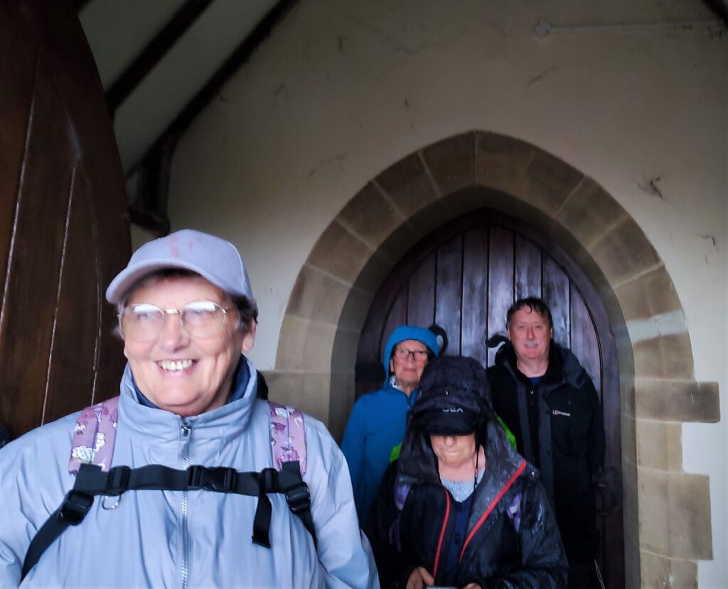
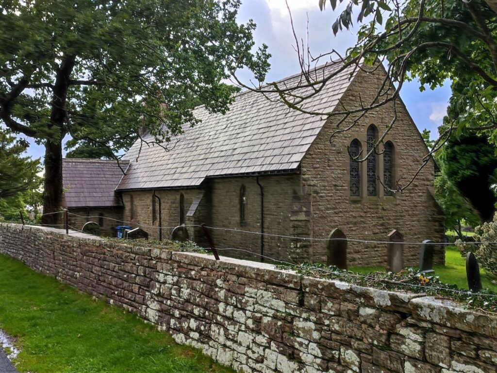
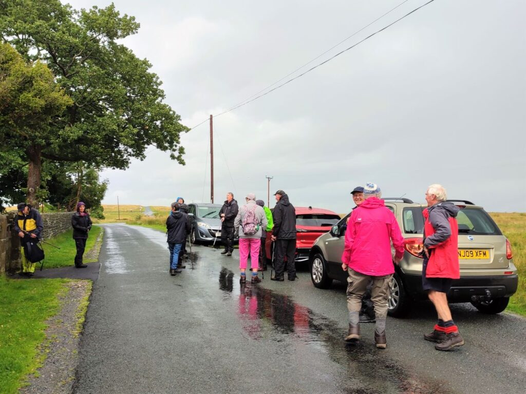
We start from St Matthew’s Church in Keasden – where there is ample roadside parking. For those not familiar with St Matthew’s, and needing help with location, the grid reference is SD 7233 6660, and the what-3-words tag is pest.flitting.bangle. If you are using satnav to get there then the address is Reebys Lane Keasden, LA2 8EU.
Having parked on the roadside outside the church you may want to spend a few moments exploring the church and the grounds – it is generally open, and a donation would be welcome.
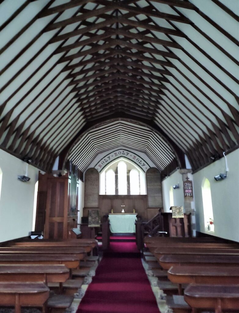
The church building is more recent than many in the area – it was opened and formally consecrated by the Lord Bishop of Ripon in 1873. Prior to this, church services in Keasden were held in a bobbin mill but, in order that people might have the advantage of a more suitable place of worship, James Farrer of Clapham provided a piece of land and ordered the construction of a ‘neat looking and substantial small church’.
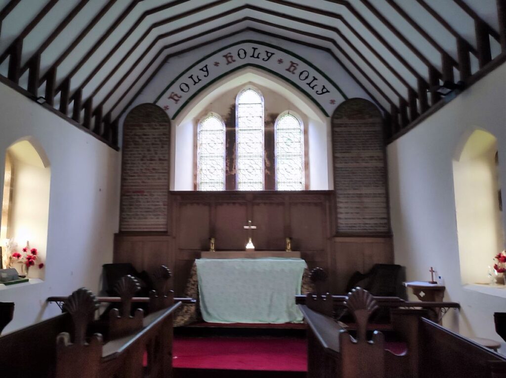
The building is indeed neat and quite elegant: It can accommodate about 150 people and was built in a fairly simple architectural style. The windows are single lancets with three windows grouped together to form an east window, and all are glazed with tinted rolled glass.
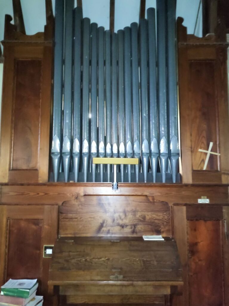
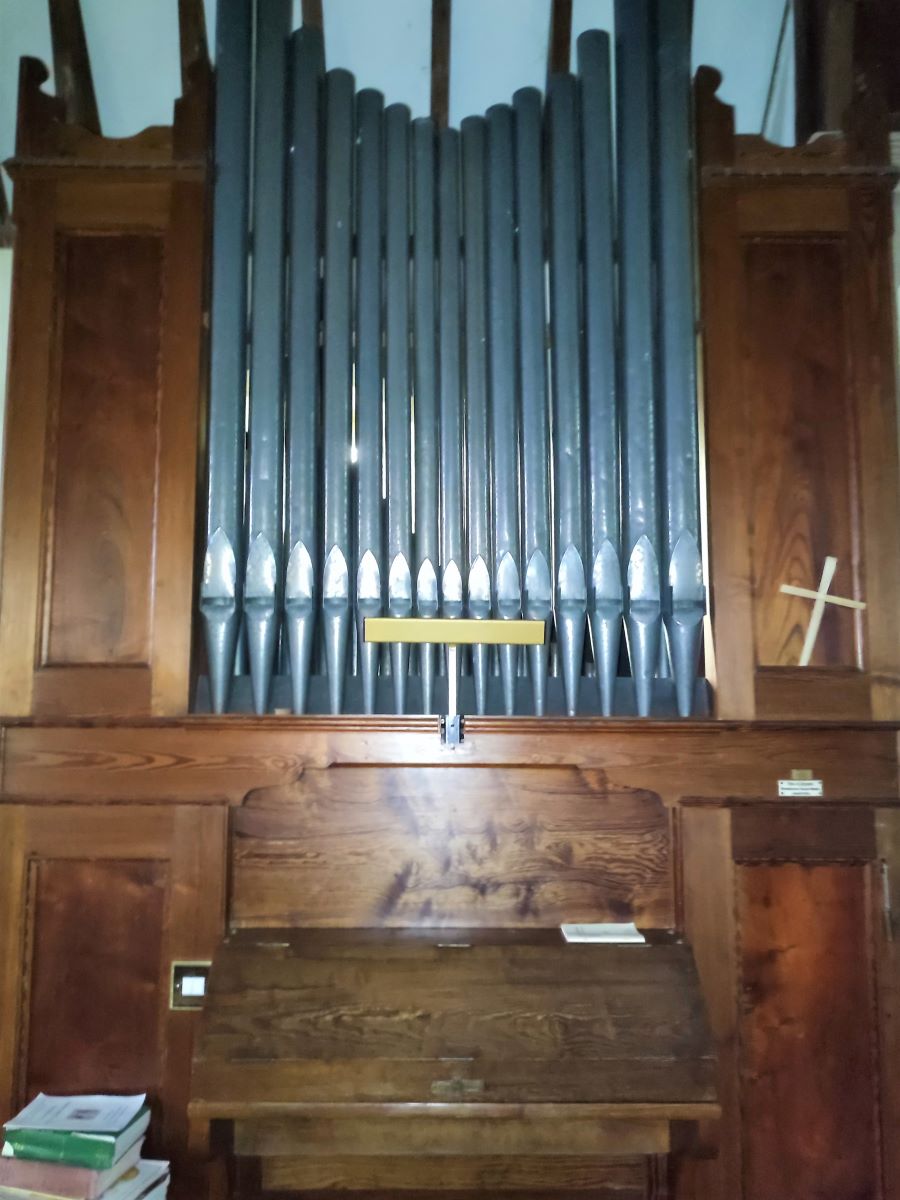
Also noteworthy is the organ which was installed relatively recently having been rescued from Austwick Methodist Chapel after that was sold for conversion to a private dwelling – it dates back to 1906.

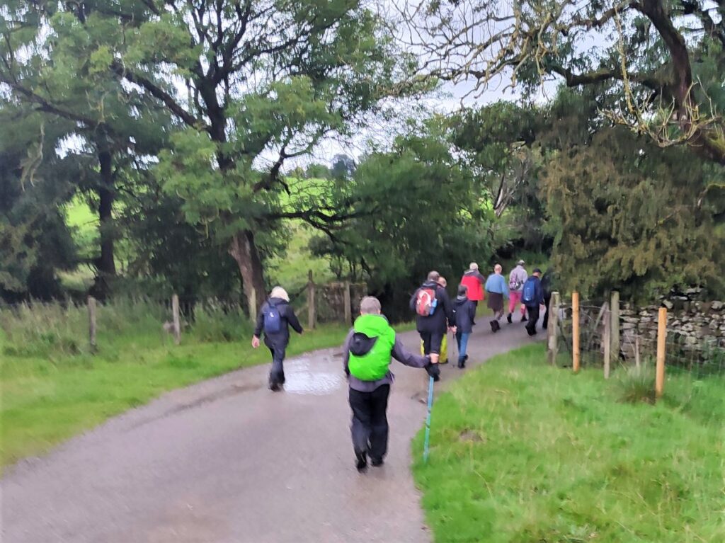
From the church we head left along the road as if walking toward Clapham station. Keep an eye open for a track on the right about 100m from the church and take this South for a while.
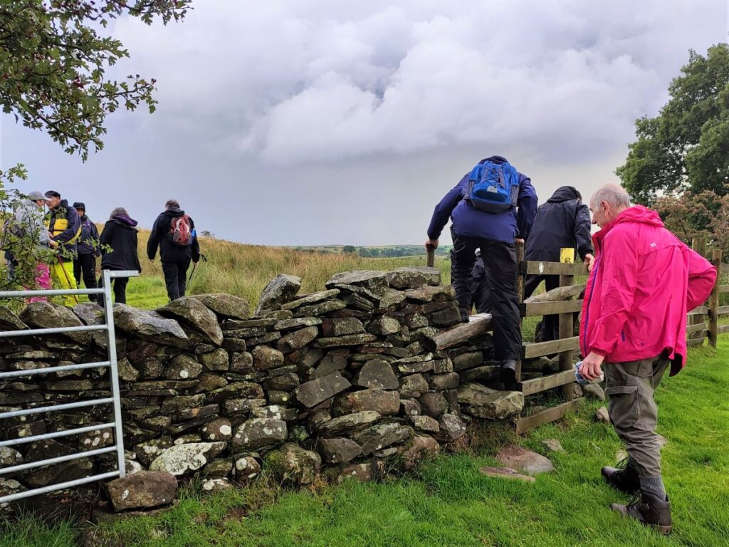
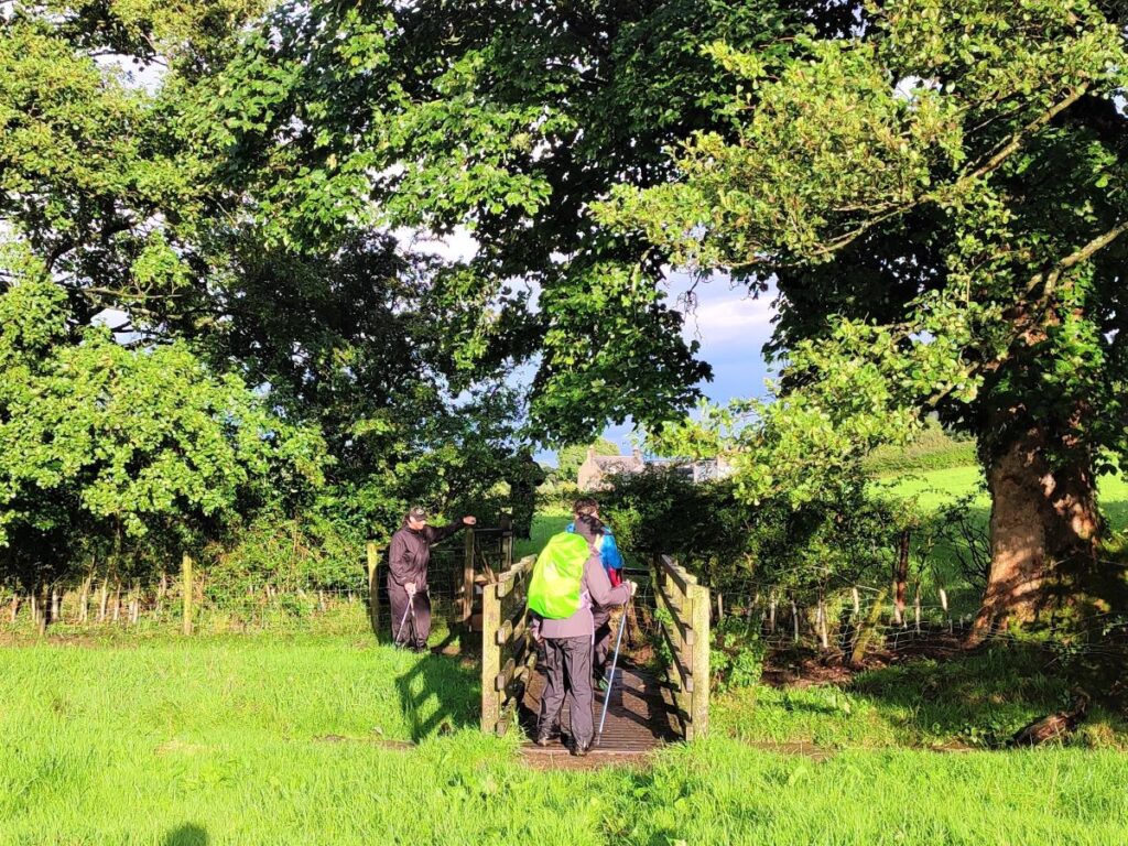
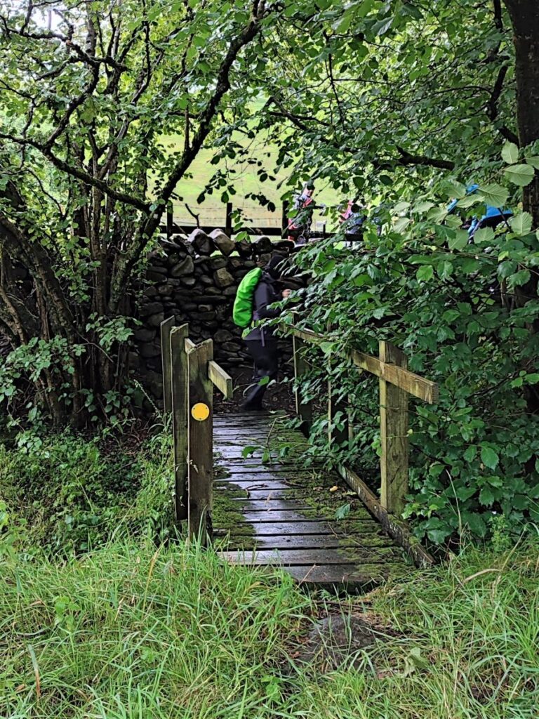
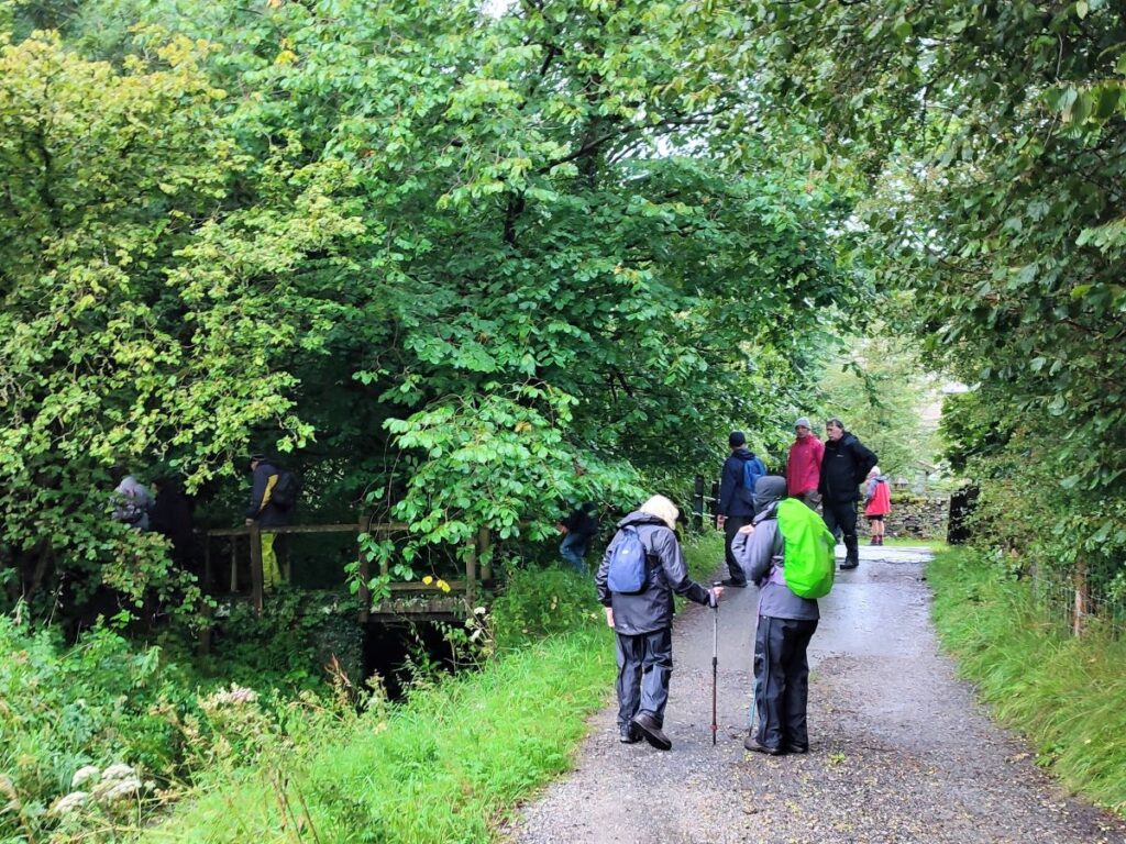
Keep going until you come to a bridge over Keasden Beck – this is Turnerford Bridge. Note though that we don’t cross the beck; instead look for a smaller wooden footbridge on the left before the road bridge and take that over a minor stream and then a stile into open fields at the side of Keasden Beck.
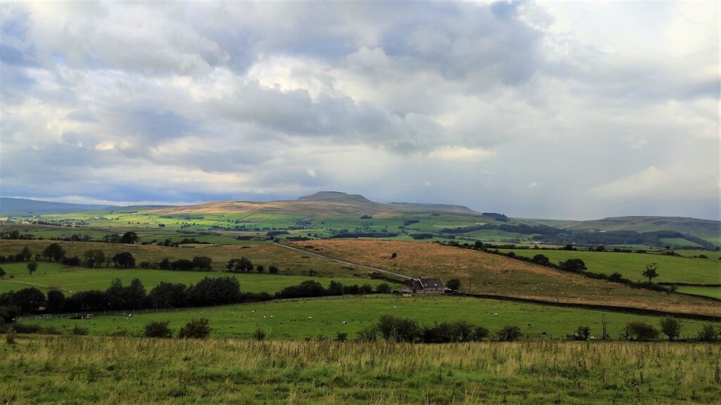
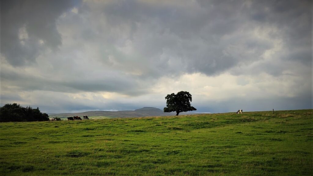
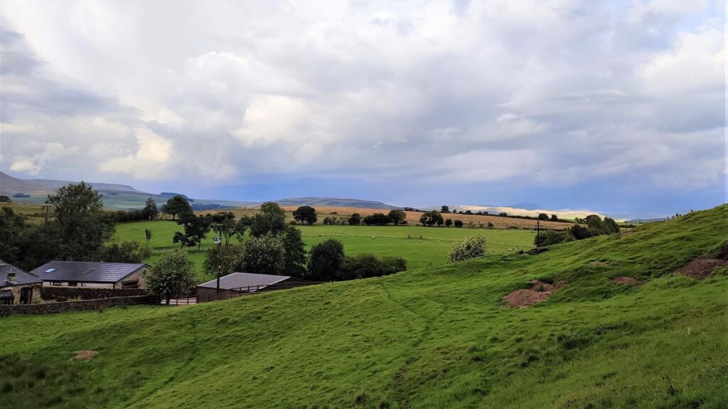
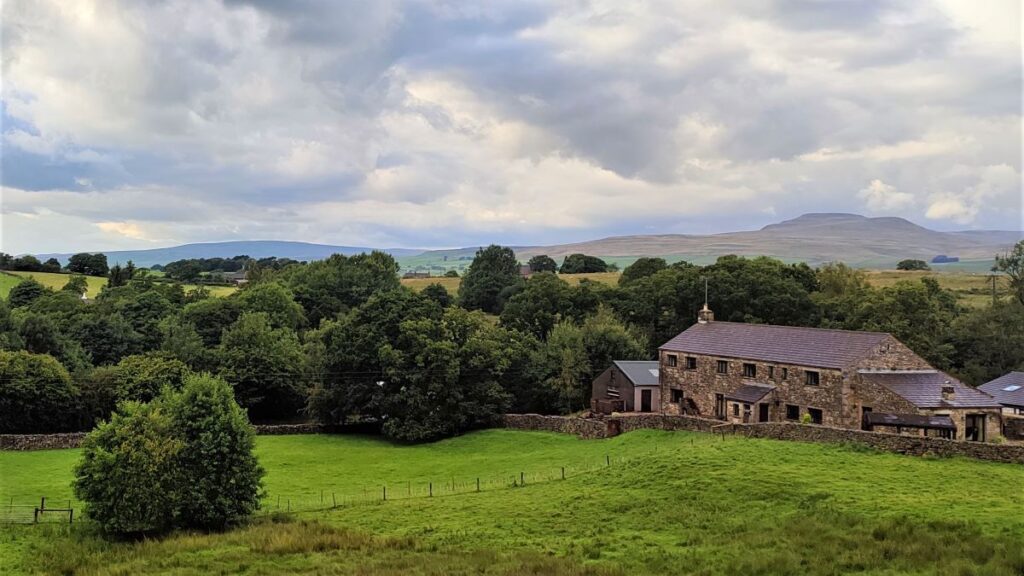
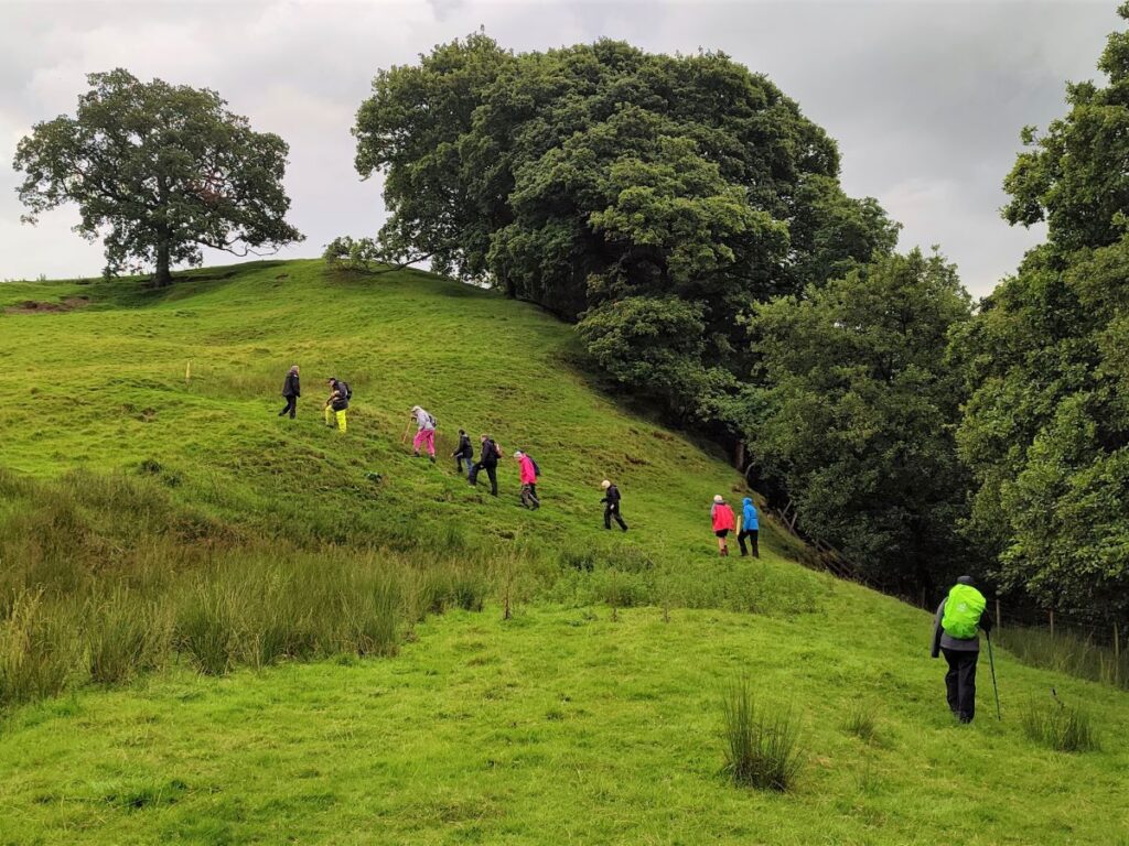
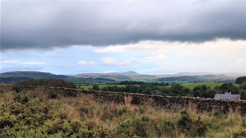
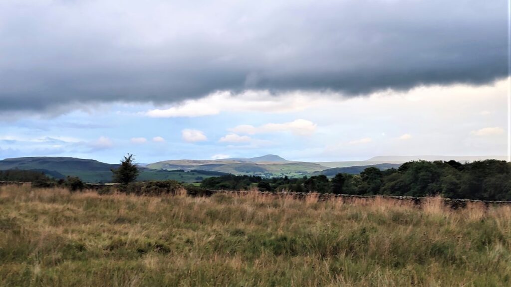
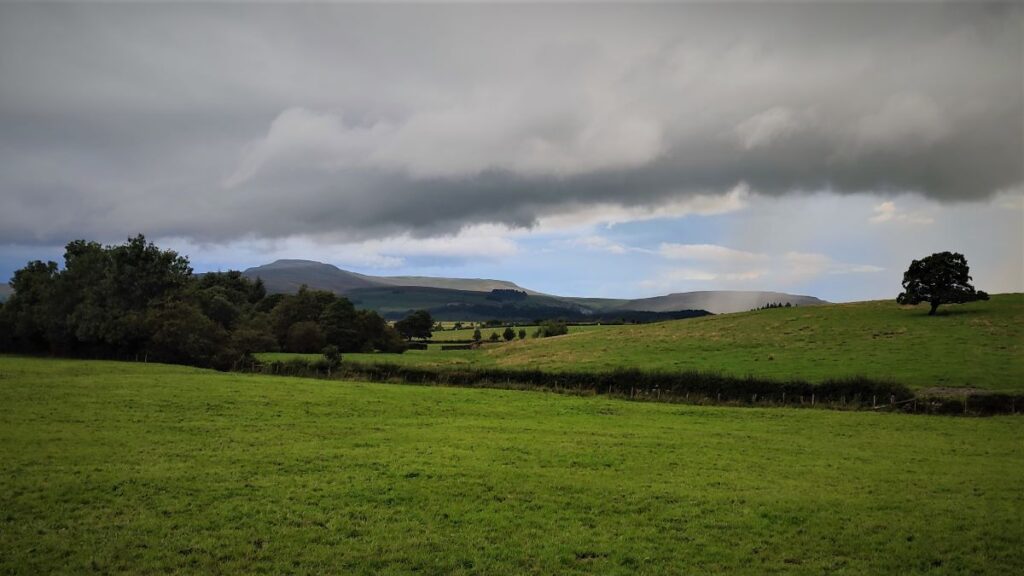
Ahead, we see a large mound and the path climbs that diagonally – there are marker posts to help find the right route – but the path is generally quite clear. The climb is quite steep, but also short and once at the top, the going is easy, and from here we start to get great views of Ingleborough directly to our North.
We cross a couple of fields with woodland over to our right, and then arrive at a drystone wall where a stile takes us onto the roadside at Keasden Road where we see the Old School House – now a private dwelling. We turn left, and then almost immediately head right to walk in front of the old school building.
Although no longer used, we might speculate why such a small place needed such a significant school: The community now consists of isolated farms, houses and weekend retreats. However, this was not always so. Church records for the 17th century list most of the farmhouses which still stand, along with a few others, and they also name many people apparently living in Keasden Lane and on the High Moors. There is now no trace of their dwellings, but it is likely that there was once a hamlet in the area where the church, chapel and school were later built. This would be consistent with trade records, which show listings for a blacksmith, 3 cordwainers (shoemakers), carpenters, weavers, and all the other crafts necessary to sustain an isolated community. It is also likely that there was significant dairy activity – ‘Keasden’ is from the Old English meaning ‘cheese valley’ and indeed huge stone weights from cheese presses can still be found on some farms.
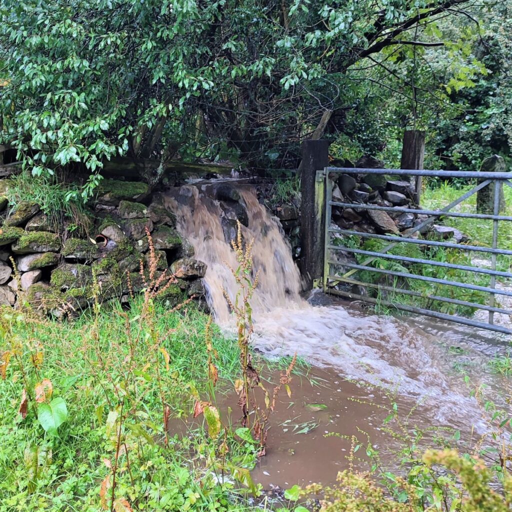
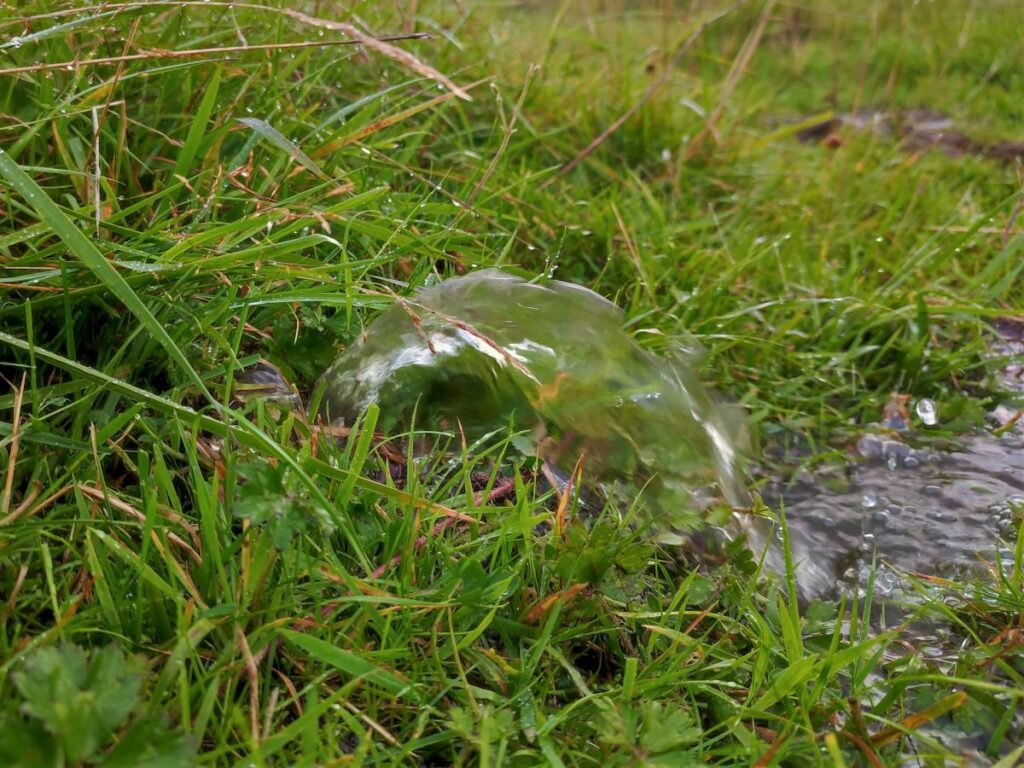
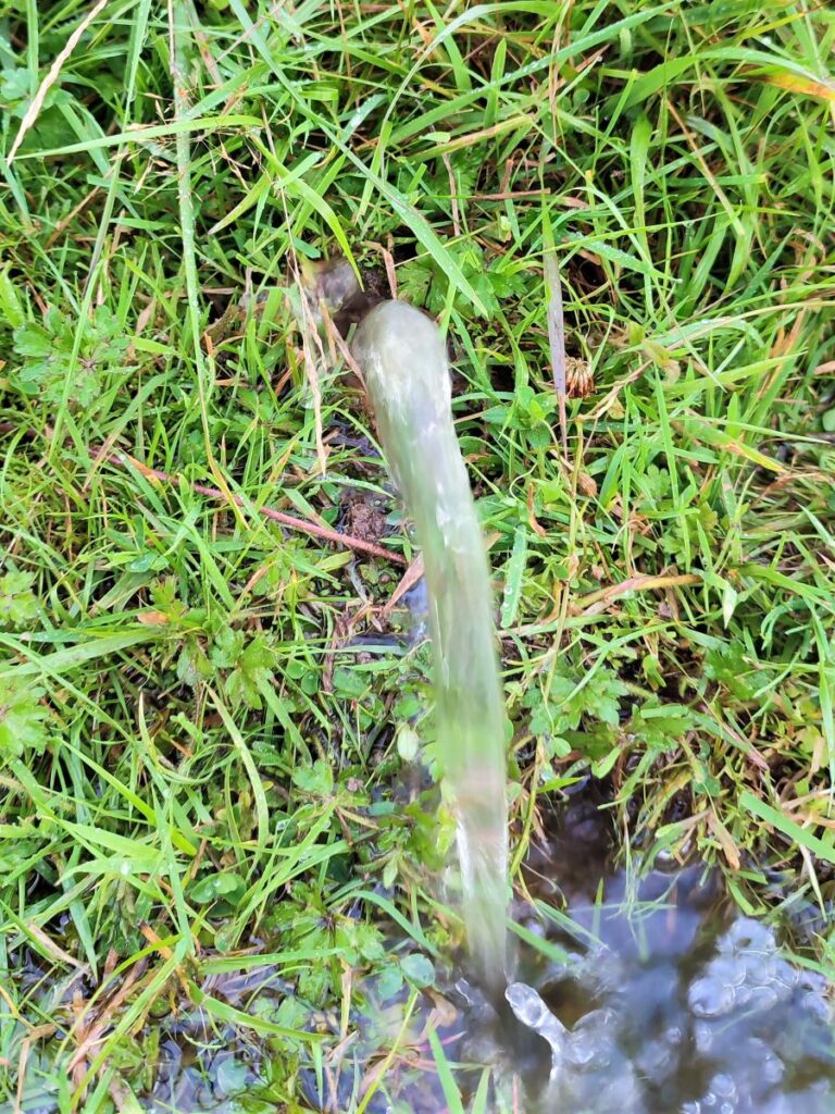
Beyond the schoolhouse we cross a cattle grid and head down the access road toward the well-tended houses at Dubsyke. Look out for a stile in the drystone wall to the left of the lane – it is well signposted. Cross the wall, and head right toward a gate clearly visible just beyond a small wooden footbridge. Generally speaking, the stream (Dub Syke) that the bridge crosses is very minor, though on the day that we walked the route it was an impressive torrent.
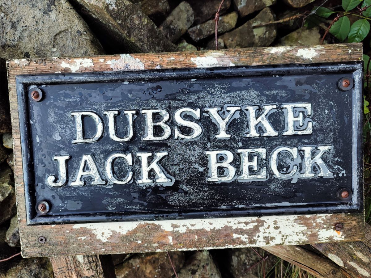
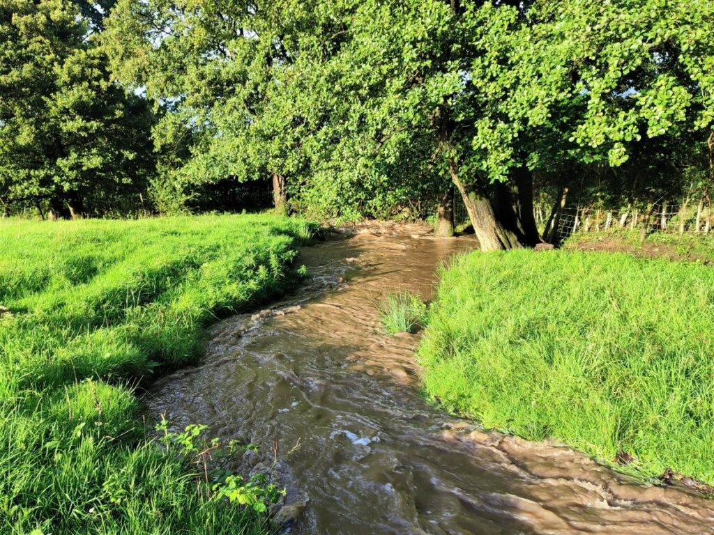
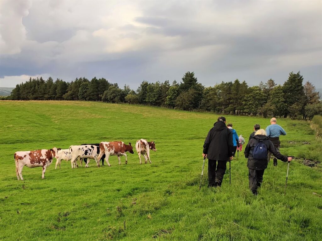
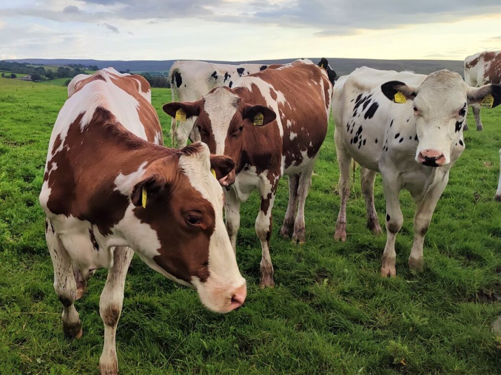
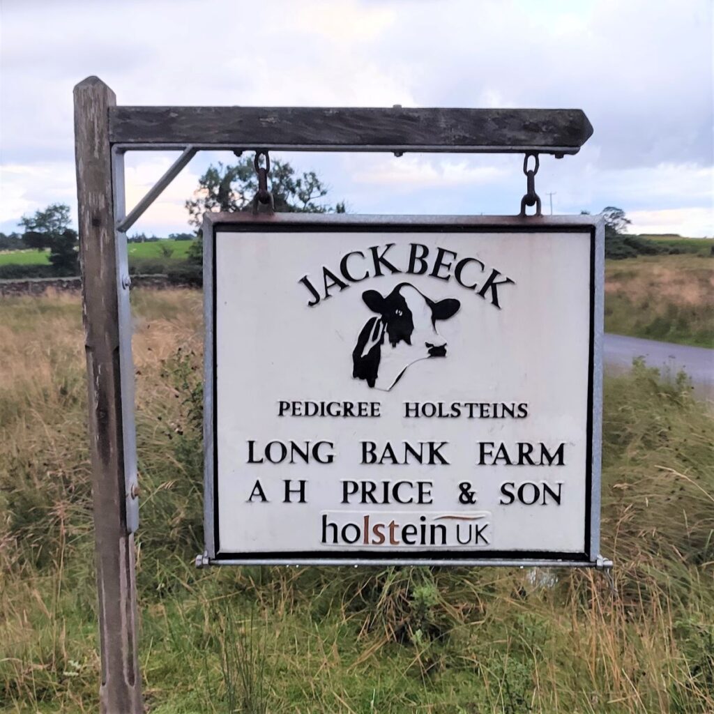
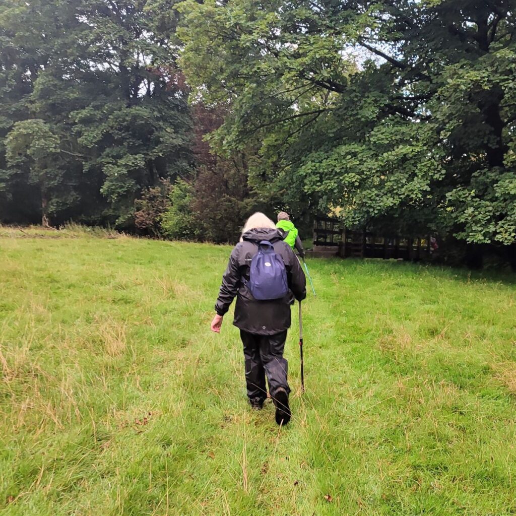
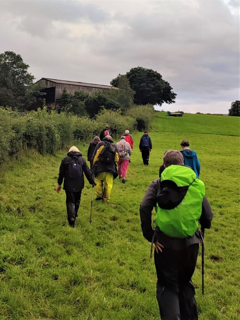
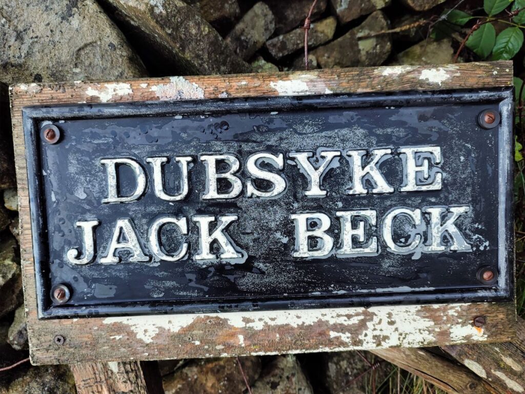
Once through the gate, we head east – which is diagonally across the field – to a further gate and another crossing over a much smaller beck. Once this minor stream merges with Dubsyke, the name changes to Jack Beck – hence the name plate pictured. After crossing the stream, we head right through a field of cows keeping well to the right to follow the fence line, until we arrive at the bottom corner of the field, where we see a track heading off to the left, and a footpath continuing on ahead. The footpath is in fact our return route for later in the walk, so for now, we head left and uphill to skirt the left hand side of a stand of trees as the track bends round to the right.
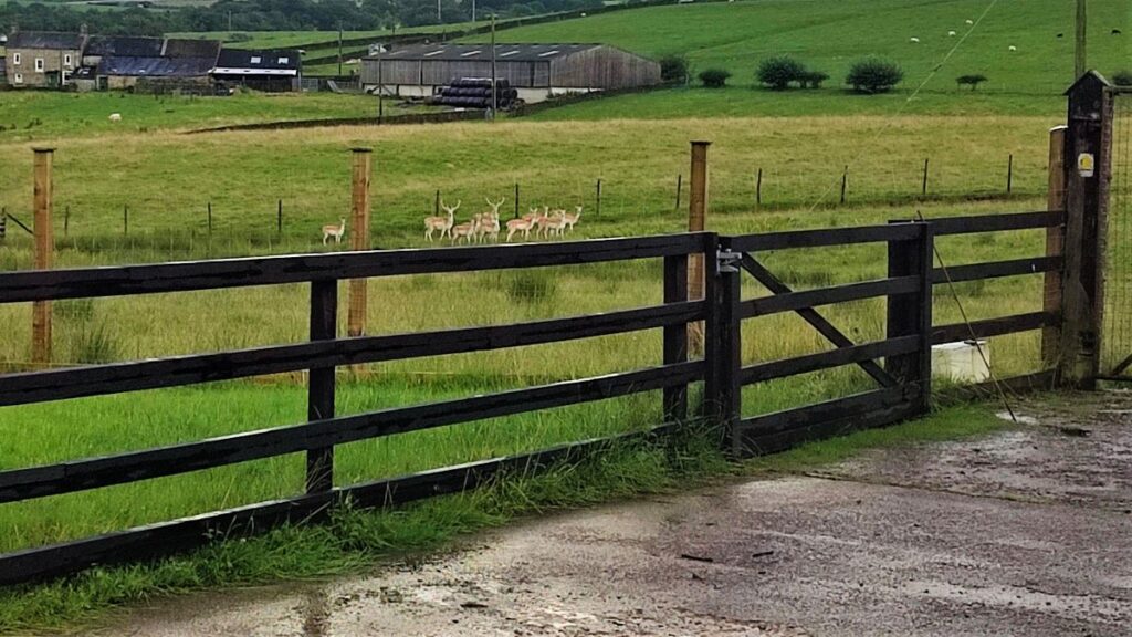
After crossing into the next field, we again stick closely to the wall, and follow the boundary round the corner to head up to a minor road – this is the extension of Reebys Lane where we started, and we are now about 1km south east of the church. It is worth glancing through the trees on the right as we walk up here – the farm on the far side raises deer, and the best view of them may often be through the trees.
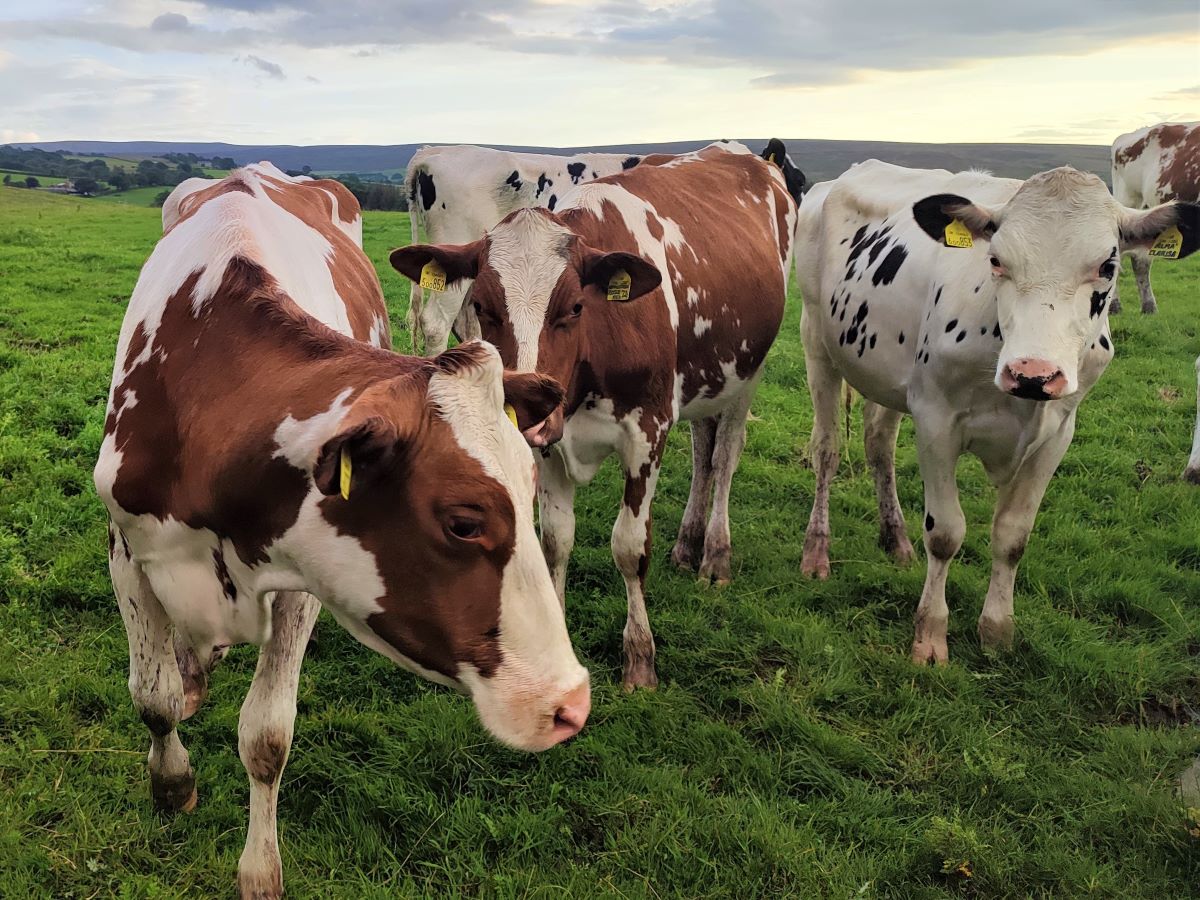
Under the careful gaze of a number of curious young cattle, we head right along Reebys Lane until we get to a farm opposite a caravan park known as Lower Watson House. A humorous sign notes that there is also an Even Lower Watson House. If you are lucky here, and we were, the farmer may regale you with further witty banter and a cheerful wave as you pass through.
We head right walking in front of the houses to a clearly waymarked public right of way at the far end of the farmyard, and then head diagonally across the field where you may see (farmed) fallow deer grazing.
Fallow deer were first brought to Britain from the western Mediterranean during the Roman era when they were kept within enclosures known as ‘vivaria’. It was always assumed that the fallow deer in the UK were the ancestors of the Roman deer, but recent DNA analysis has shown that the Roman fallow deer went extinct in Britain following the collapse of the Roman Empire.
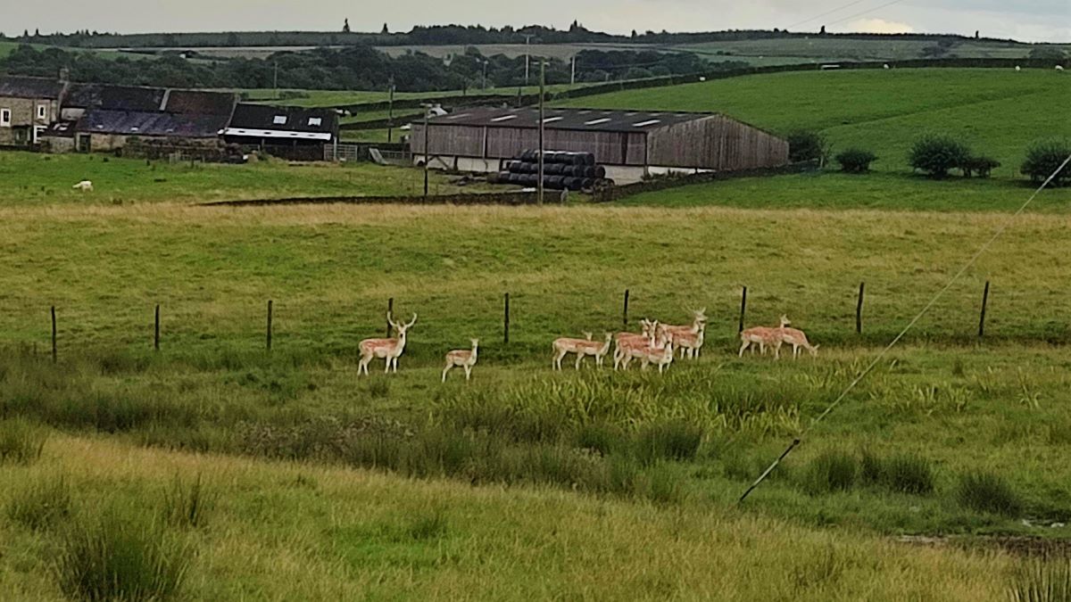
There was a second introduction in the 11th century, this time from the eastern Mediterranean. The deer were initially kept in parks as rare exotica but inevitably their populations increased, and they became an important source of meat for aristocratic tables. As the fashion for deer parks declined in the 15th century, many parks fell into disrepair and these medieval escapee deer are the foundation of the free-living population in Britain today. Whilst non-native, fallow deer are considered naturalised and are locally abundant and increasing.
For more information, click here to visit the British Deer Society.
Amongst the valuable advice that they give is to avoid disturbing deer during the rutting season (late autumn) or when they have fawns (June / July / August). Common sense says that at all times, it would be better to avoid taking dogs near deer.
From the high deer proof gate at the end of the farmyard, we head slightly to the left to find a gate at the opposite corner of the field. Here we pick up a path through the farmyard of the next farm and then head right through a gate and again diagonally across a field.
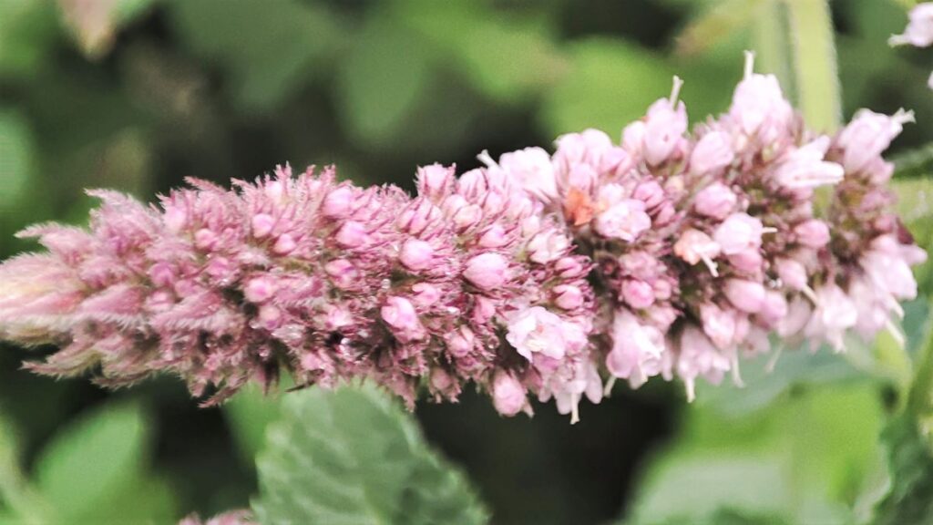
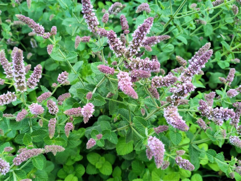
Strictly speaking, the path, as indicated on the OS map crosses the opposite wall at a stile – in practice this has been blocked, and we therefore take the gate to walk through the edge of the next field, heading toward the farm at Coppy House, where we cross a beck (not very noticeable as there a sturdy stone slab bridge), before we find a dense patch of apple mint.
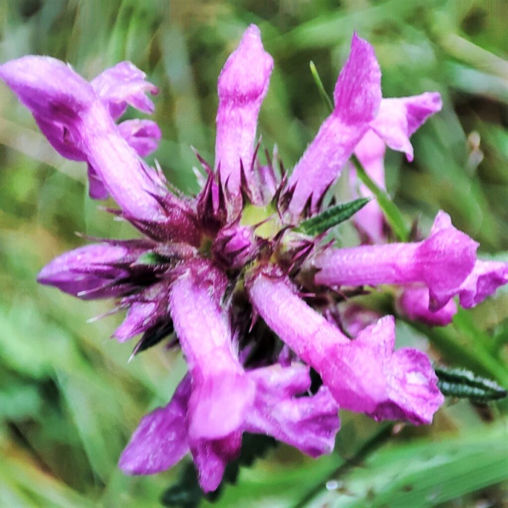
The leaves of this plant can be used in apple mint jelly, as well as giving flavour to dishes such as apple mint couscous.
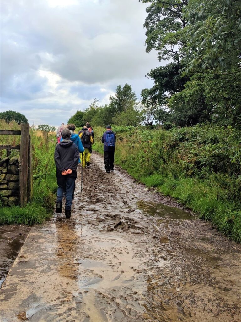
We now head right to a small footbridge over the beck, and then climb the embankment to enter a flat meadow below the farm at Low Birks. We head toward a gate at mid-point of the farm, and then head right up a very muddy lane. The lane soon opens out onto a flatter and cleaner field, and we now head Northwest along the left hand boundary of that field.
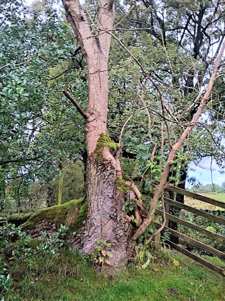
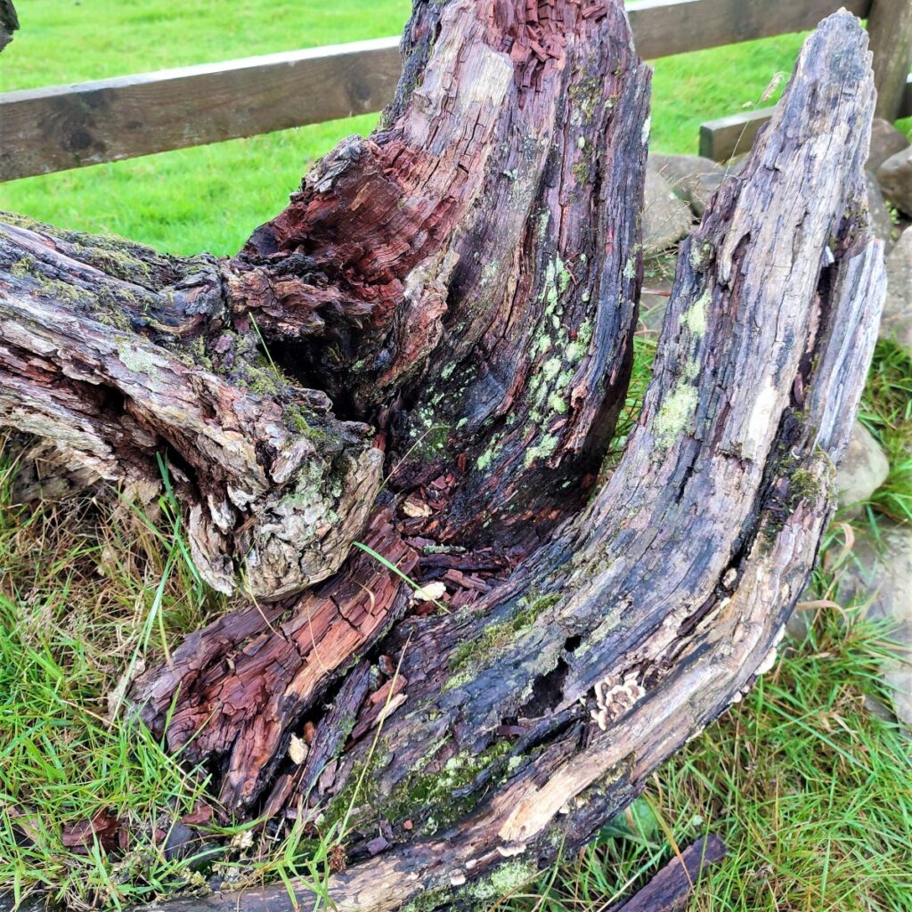
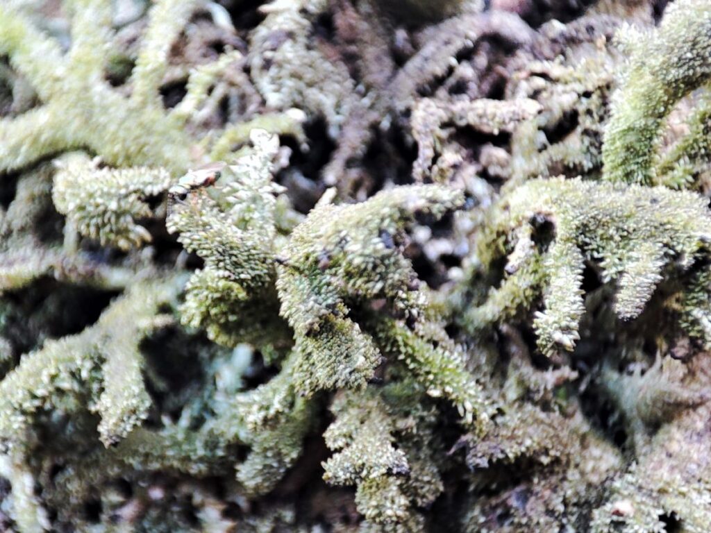
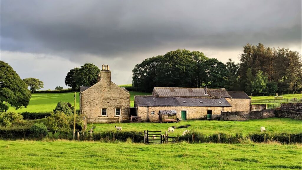
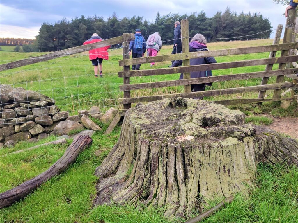
Our next landmark is a stile, next to this attractively weathered tree stump. From here, we head back down to the gate we came through earlier, retracing our earlier route for now, until we see Long Bank Farm. On the outbound walk you will remember that we came diagonally across this field, but for the return leg we head left along the edge of the field, passing directly in front of the farm and taking a waymarked diversion to the original path just beyond the farmhouse.


This takes us onto the farm access lane where we turn right. The lane heads gently down hill and then bears right as it crosses Dub Syke, and we soon arrive at a road junction – we are now back at Keasden Road, and we head right.
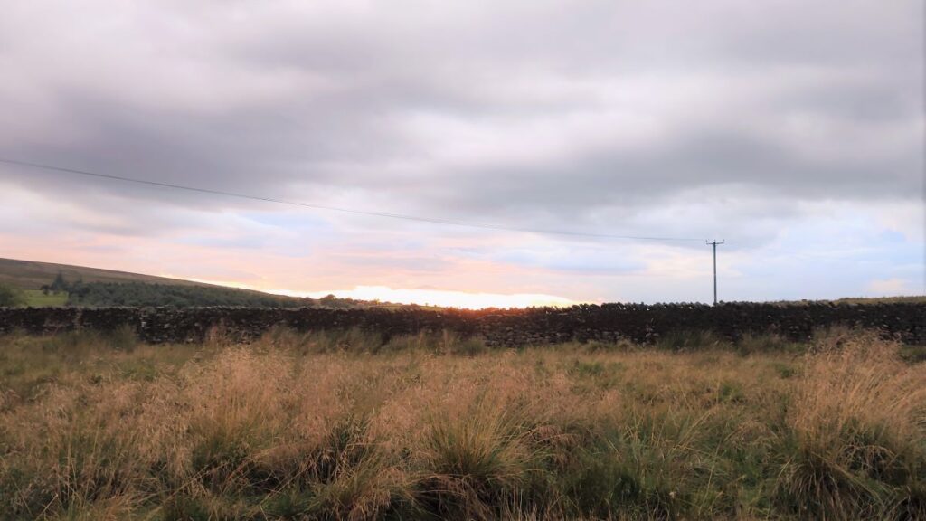
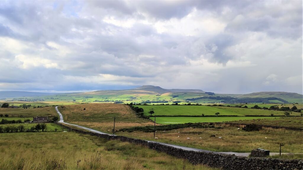
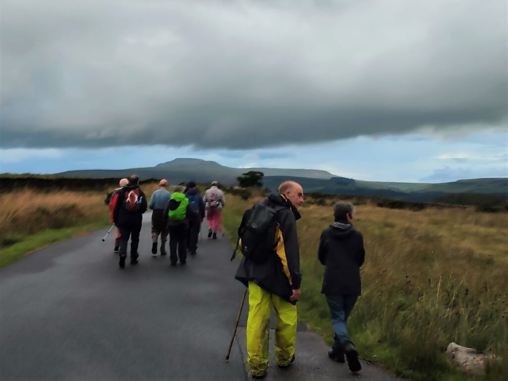
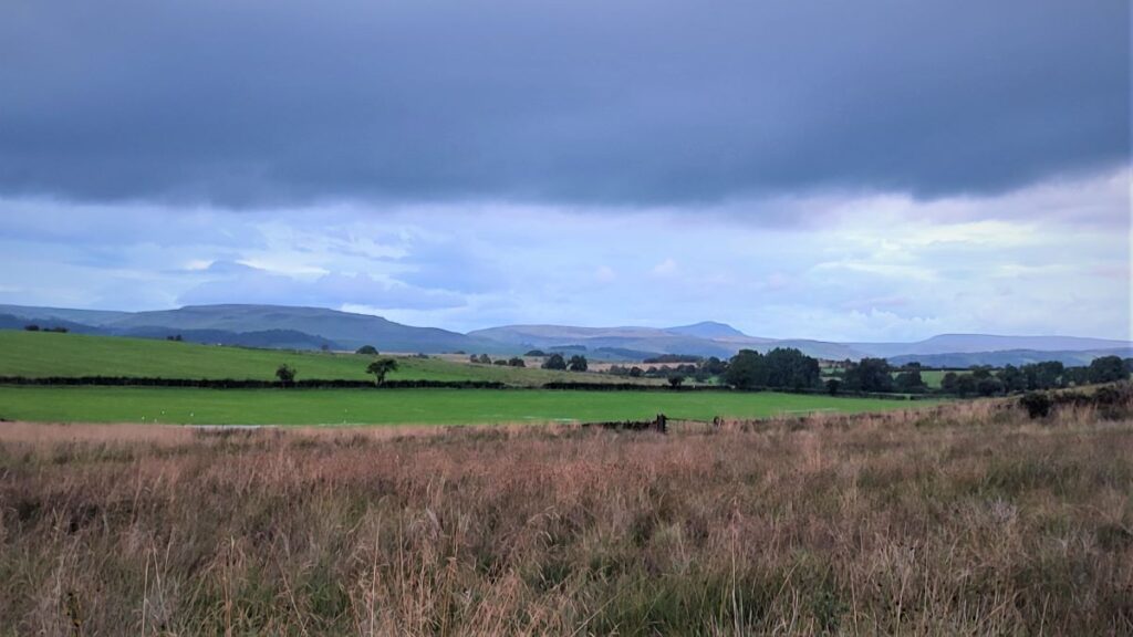
We follow Keasden Road to the North for a while, passing the stile (on the left) and the Old School House (on the right) that we saw earlier in the walk. Ahead of now we have great views of both Ingleborough, and over to the right, Pen-y-Ghent. We were lucky that even on this rainy day there was a brilliant path of light on Pen-y-Ghent as we walked downhill.

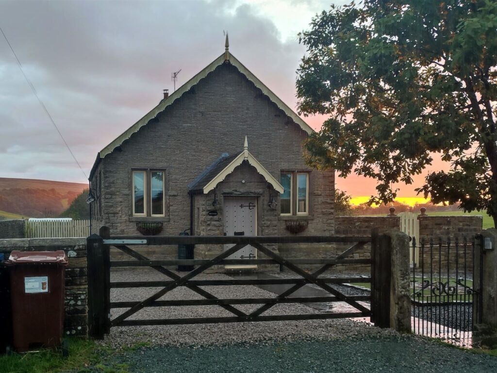
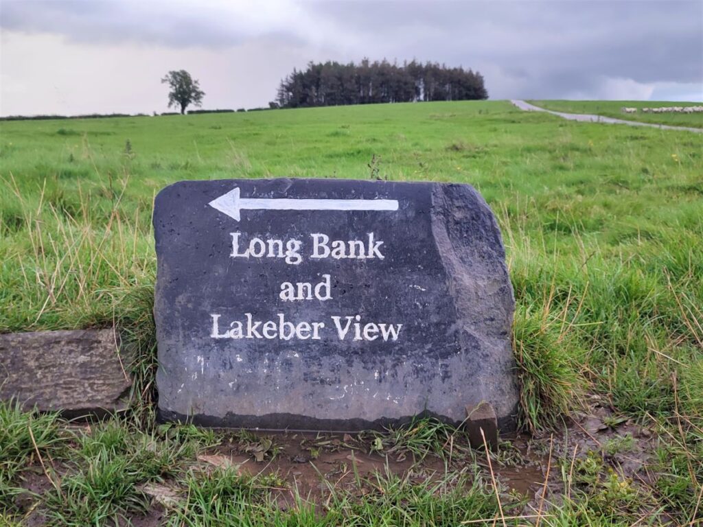
Further down Keasden Road we pass a private dwelling that was once a Methodist chapel, and just beyond this we look for a signed footpath on the left heading back across the common toward the church.
The signage for this route is often subject to removal – for reasons not understood – so it’s easy to miss the path. If you do, don’t worry, just carry on to the junction of Keasden Road and Reebys Lane then head left.
If you do find the path, follow it across the common back to the lane down to Turnerford bridge that we used earlier and when you meet that turn right to reverse the start of the walk. You will be back at the church in just a few minutes.