In January 2023, Bentham Footpath Group enjoyed a fine walk from Appersett exploring parts of the Hawes 2000 Mosaic project. We saw about half of the 22 mosaics on that day, and we finish the task with this equally fine walk.
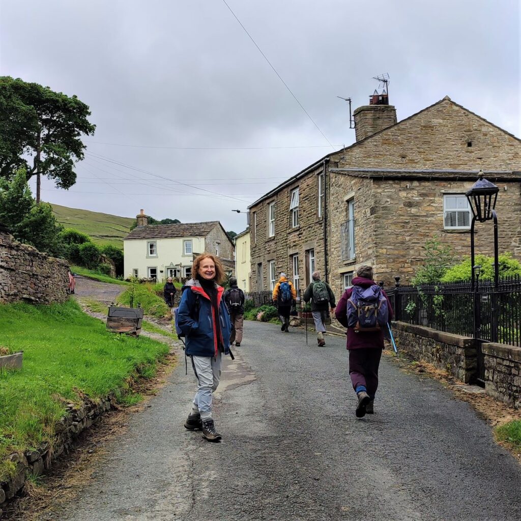
Starting from Hawes town centre, we head up to Burtersett, take Shaws Lane to Gayle, then head up Sleddale to see Aysgill Force. We return along a Green Lane back toward Gayle, before taking a final detour along Bands Lane and then the Cam Road.
A (very) brief section on the B6255 brings us to a path back over fields into Hawes. This is a great walk with fine views, add in the mosaics, a roman road, an impressive waterfall, and all the delights of Hawes, and we have a recipe for a perfect day.
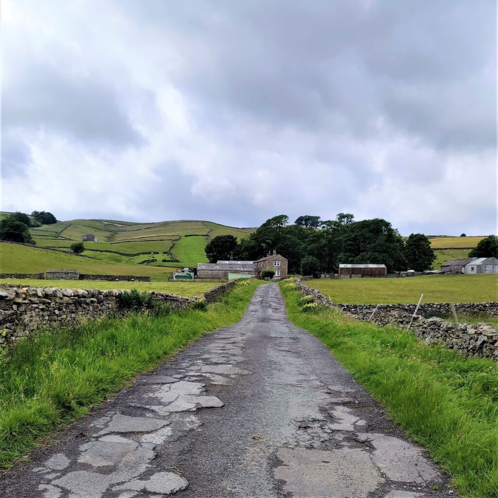
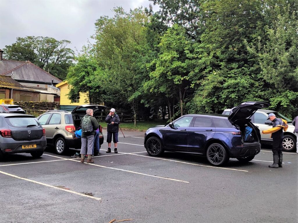
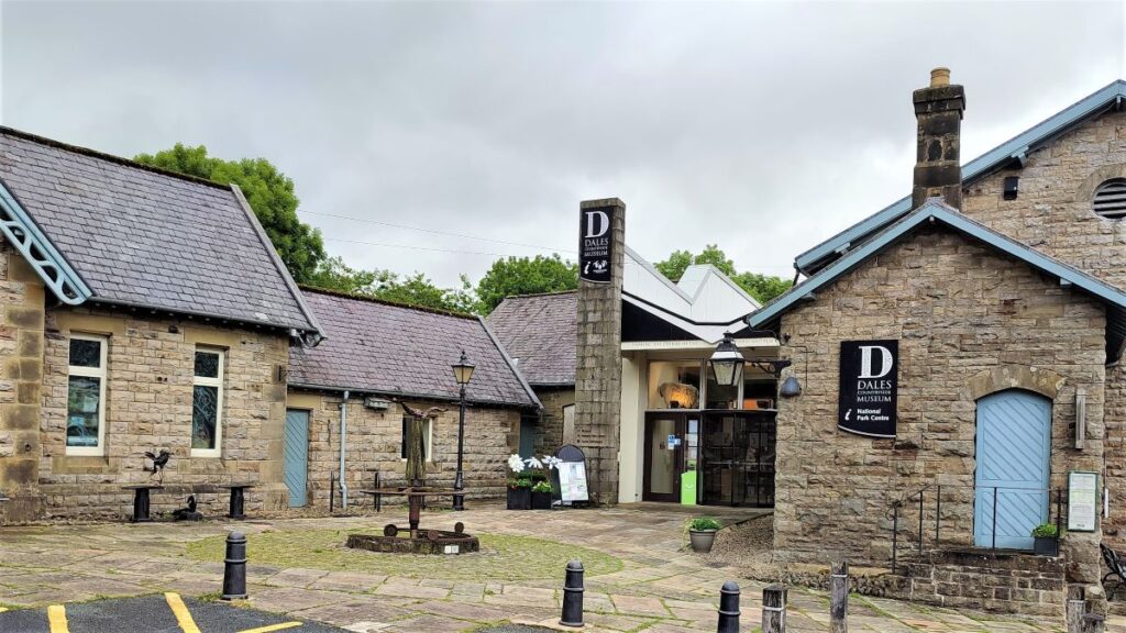
We start in Hawes, which has ample parking – we recommend the large car park at the old station where the Dales Countryside Museum, The Tourist Information Centre, the Ropeworks, and public toilets can all be found. To find this, head through Hawes as if to take the A684 toward Bainbridge – the carpark is clearly signed on the left just after the one way system. If you are using Satnav to get there, then try Burtersett Rd, Hawes DL8 3NT as an address. If you prefer paper maps then the grid reference for the car park is SD87558988, and the what-3-words tag is directive.freedom.finishing.
Before setting out on the walk, it might be worth noting that the Tourist Office keeps a leaflet for the full mosaic walk (our walk is only part of the full route). A scan of their leaflet is also available from our website via the downloads link.
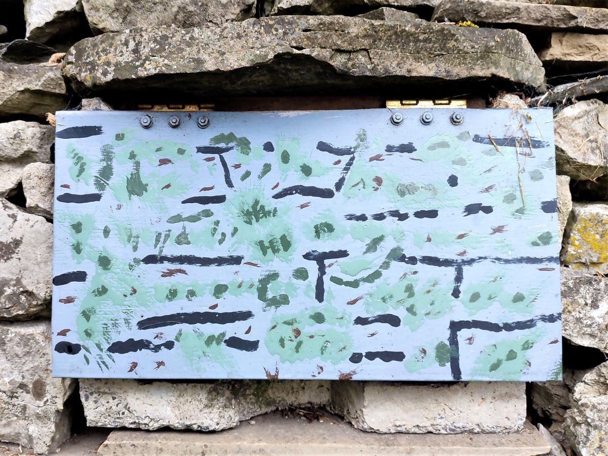
We head out of the car park along the access road. On the right hand side of the road, we noted an interesting flap set in the adjacent garden wall, which from a distance looks like it may be one of the mosaics – it’s not. The exact function is unknown – guesses within the group included allowing hedgehogs transiting the garden to exit safely, or simply to allow improved drainage. Either way, it’s an interesting addition and adds colour.
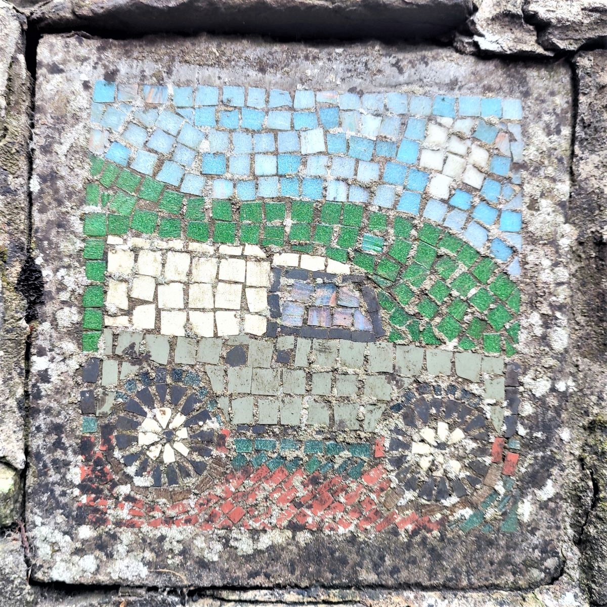
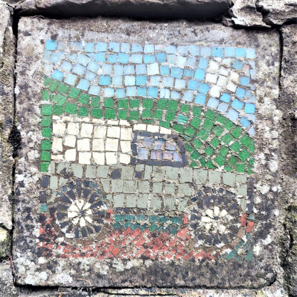
Back at the A684 we head left toward Bainbridge, crossing the road before we get to the agricultural merchants to ensure that we see the mosaic of a Land Rover set in the wall just beyond the entrance.
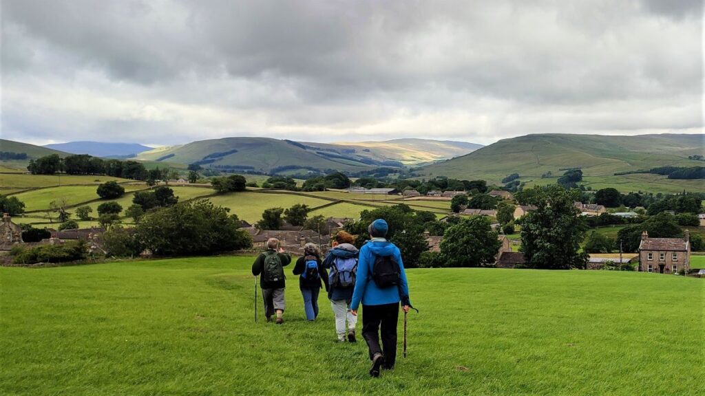
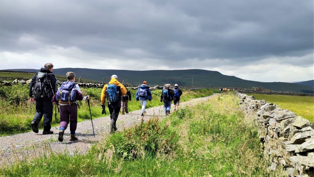
Not far beyond this we see a well signed public footpath leaving the A684 on the right to head diagonally across a field toward Burtersett. The path goes to the right of the cemetery, and then heads up to a minor road which heads into Gayle. We cross the lane and continue opposite still heading uphill toward Burtersett, a village with an interesting history going back to Viking/Norse times.
Sett then meant a temporary settlement – it’s found in many local names including Appersett, Marsett, and Countersett. Burtersett is where farmers from sheltered villages further down the dale would bring their cattle for summer grazing, staying with them until it was time to return to the main farm in the autumn. That explains the “Sett” part of the name, and it’s tempting to think that Burter stems from “butter” to be consistent with the dairy farming origin – but it is more likely that it is connected to Norse words for Alder trees.
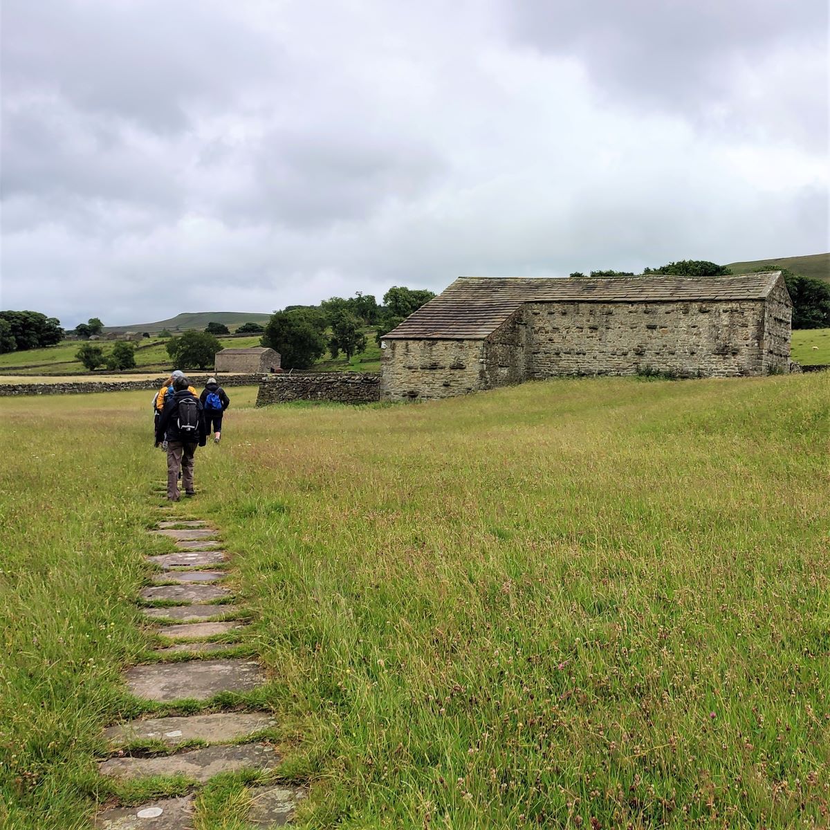
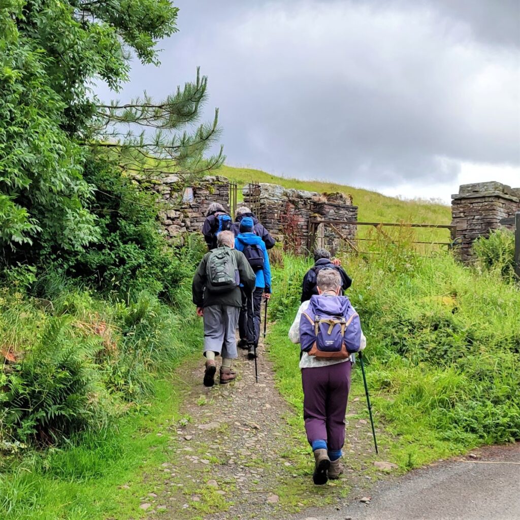
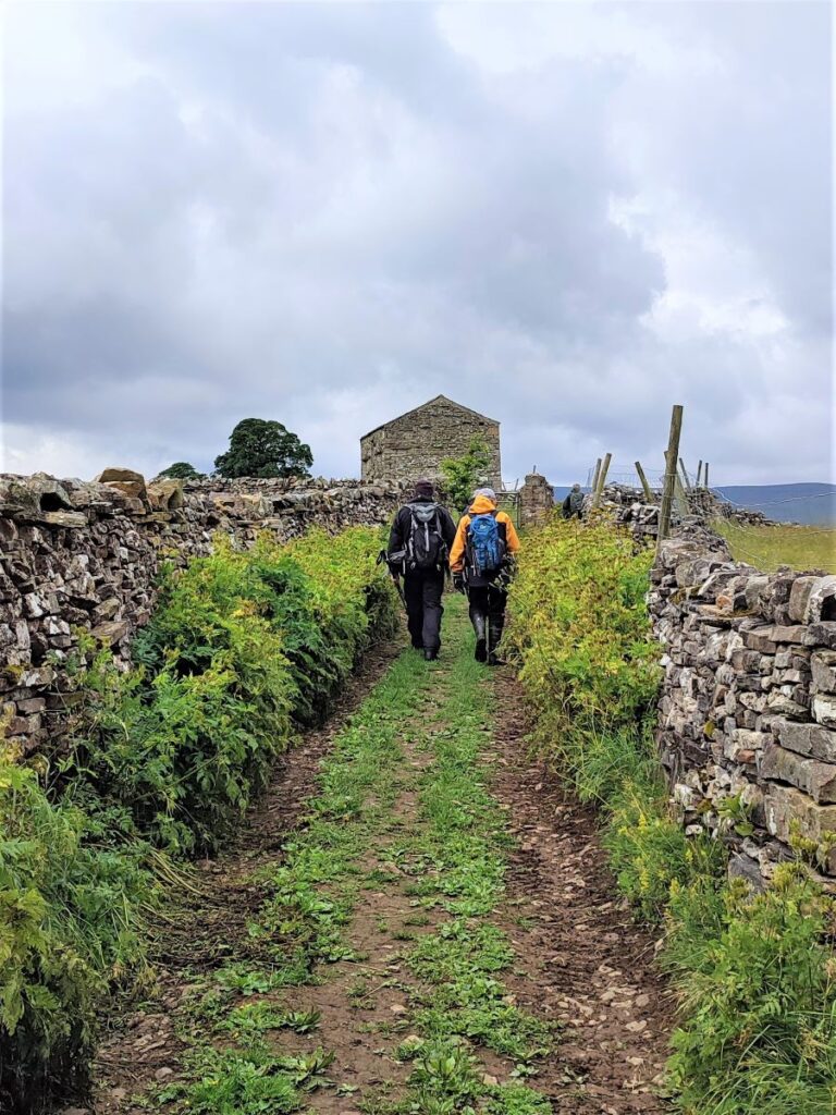
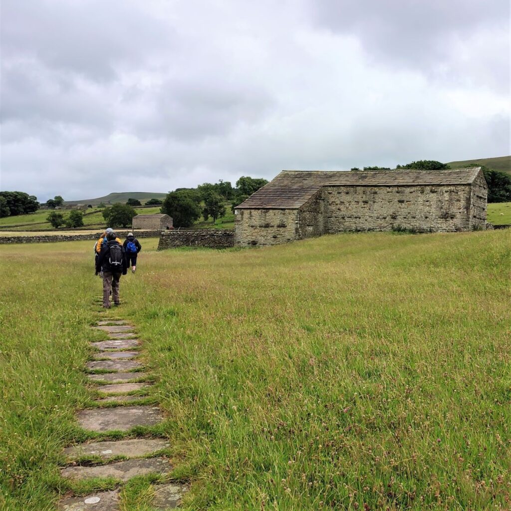
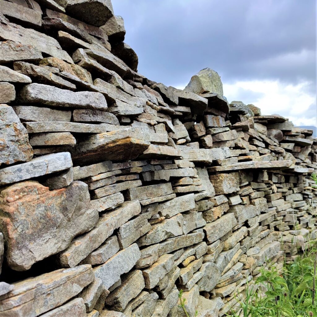
Along this section, the path is unusually well made and laid with flagstones indicating that the route was once much more important than it is now: This is a feature characteristic of Burtersett and harks back to a flourishing Stone Flag industry in the 19th century.
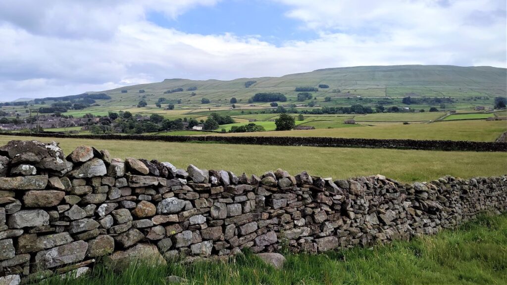
Easily mined and worked stone had always been available here, but the market was small and essentially local until the railway arrived in October 1878. This made transport of stone flags to a much wider market easy and profitable and so stone quarries appeared on the hillside under the summit of Yorburgh and Wether Fell which were extensively worked.
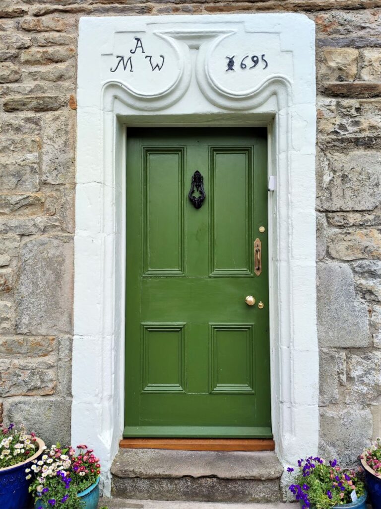
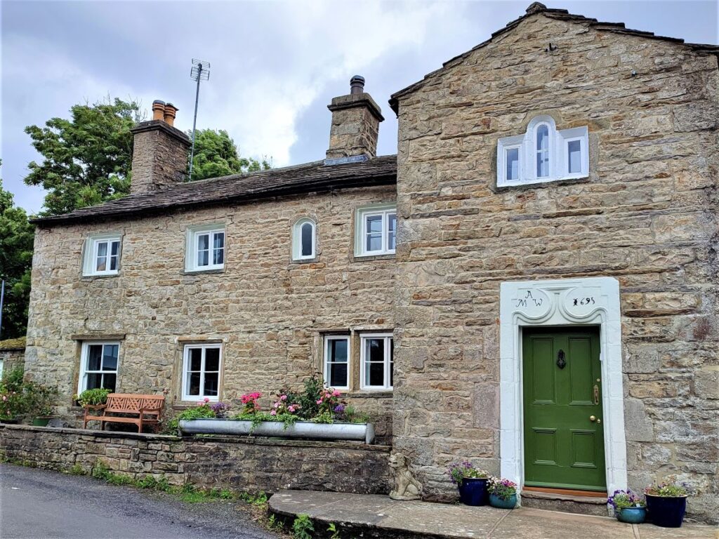
After the opening of the railway fifteen thousand tons of stone flags were sent from Hawes station every month having been carted down by wagon and horses from the Burtersett to Hawes. In order to ease transit to the station, offcuts from the quarrying operation were used to create smooth tracks which remained passable in all weathers – we now enjoy these as paths. In addition, homesof a much grander style than would normally be seen in Dales villages were built in Burtersett to house quarry owners and managers.
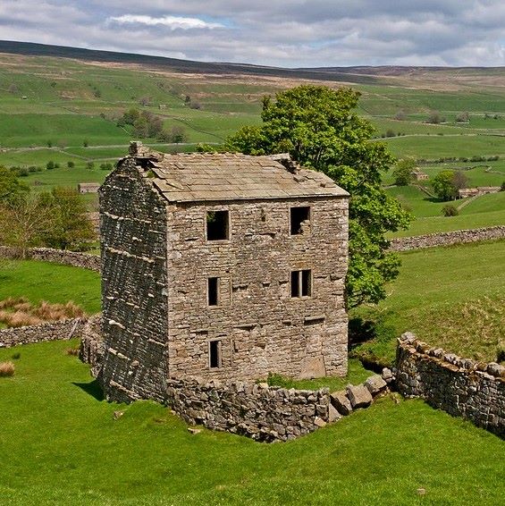
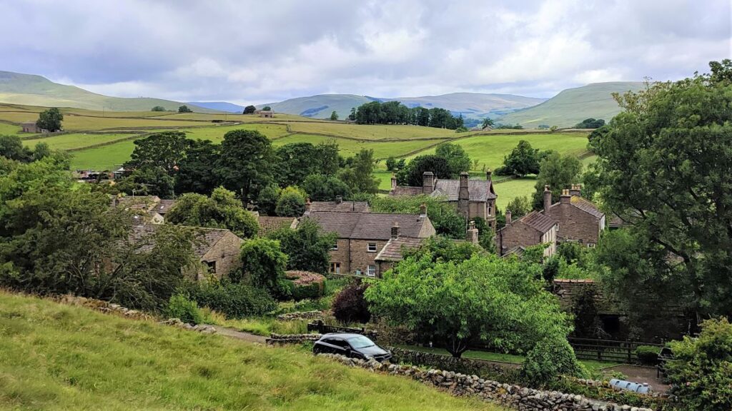
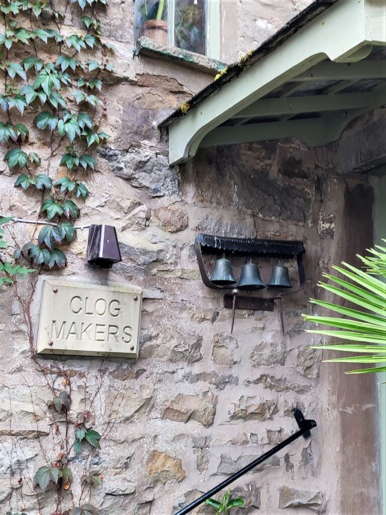
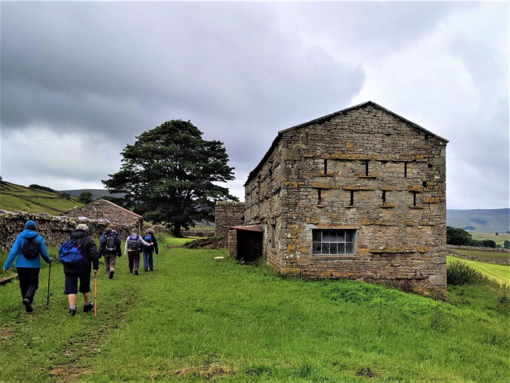
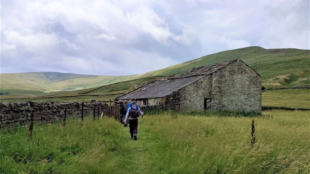
Once you arrive at Burtersett, you may want to set aside a few minutes to explore the village. Worth seeing are the four storey old candle mill – disused since the new fangled electricity came in the 20th century, and Hillary Hall, a grade II listed building which was once the seat of Sir Henry Hillary, a landowner in Upper Wensleydale famed for his work on tropical diseases. His nephew, Sir William Hillary, who campaigned for the institution of the RNLI, was born in the village, and Sir Edmund Hillary the mountaineer is part of the same family – although he was born in New Zealand.
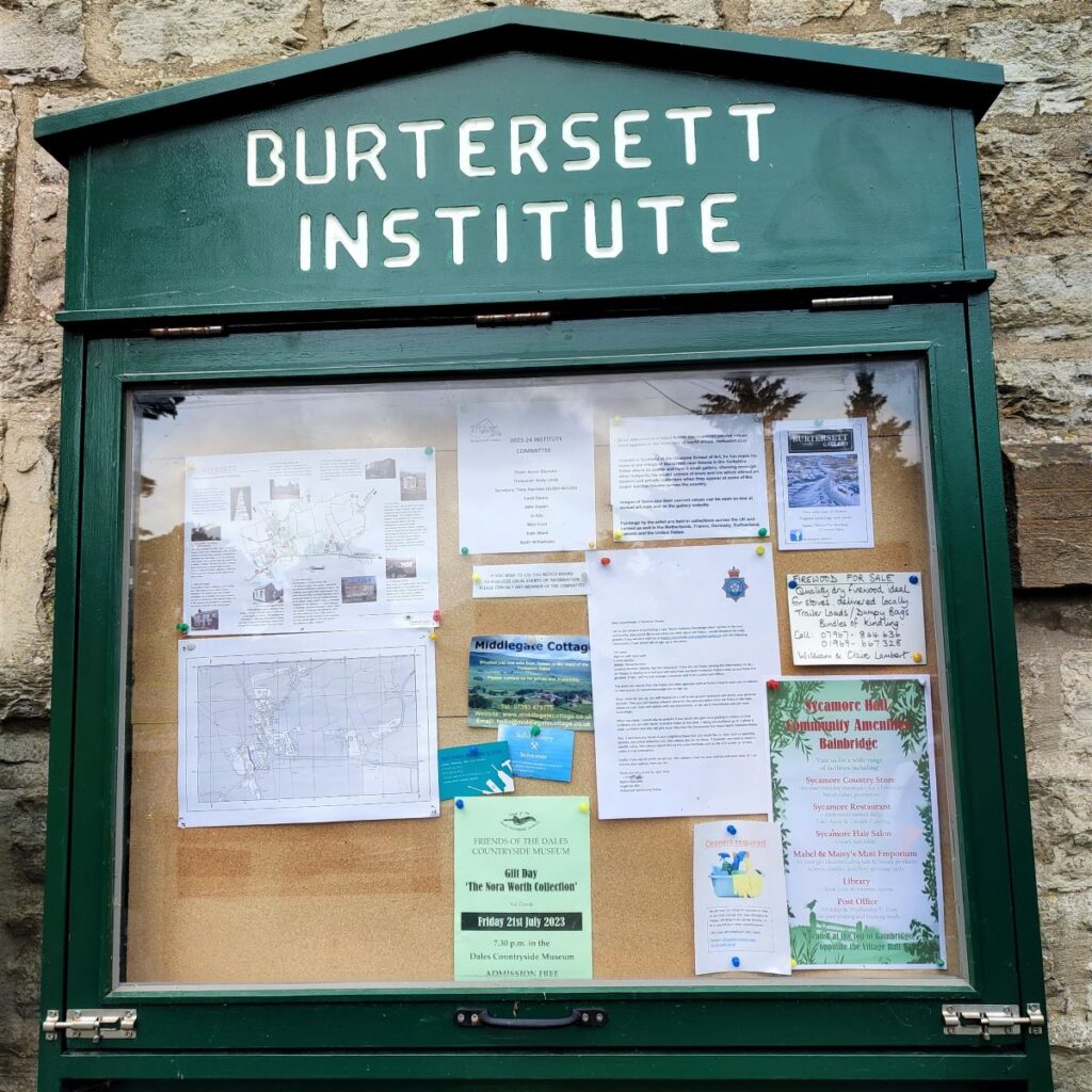
There is a pleasant central green in the village where we enjoyed a brief rest, but if you prefer, there is a self service tea room in the Burtersett Institute – where you can also enjoy lots of local history, including pictures of early 20th century village gatherings where one Thomas Henry Routh is described as a “Diddler” – this was a term to describe a specific weaving job involving the positioning of “diddling needles”.
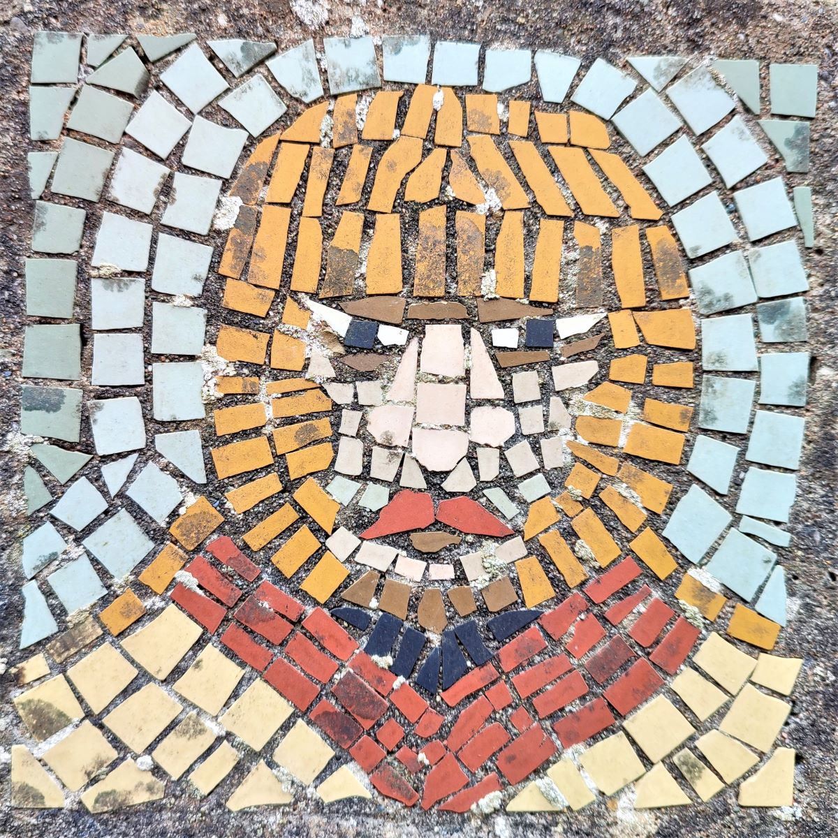
Also in Burtersett is a mosaic depicting a Roman Soldier – this references the Roman Road (Cam Road) on the hill above Burtersett which linked Bainbridge to Hawes. Bentham Footpath Group have a walk that explores that in more detail – click hereto see it.
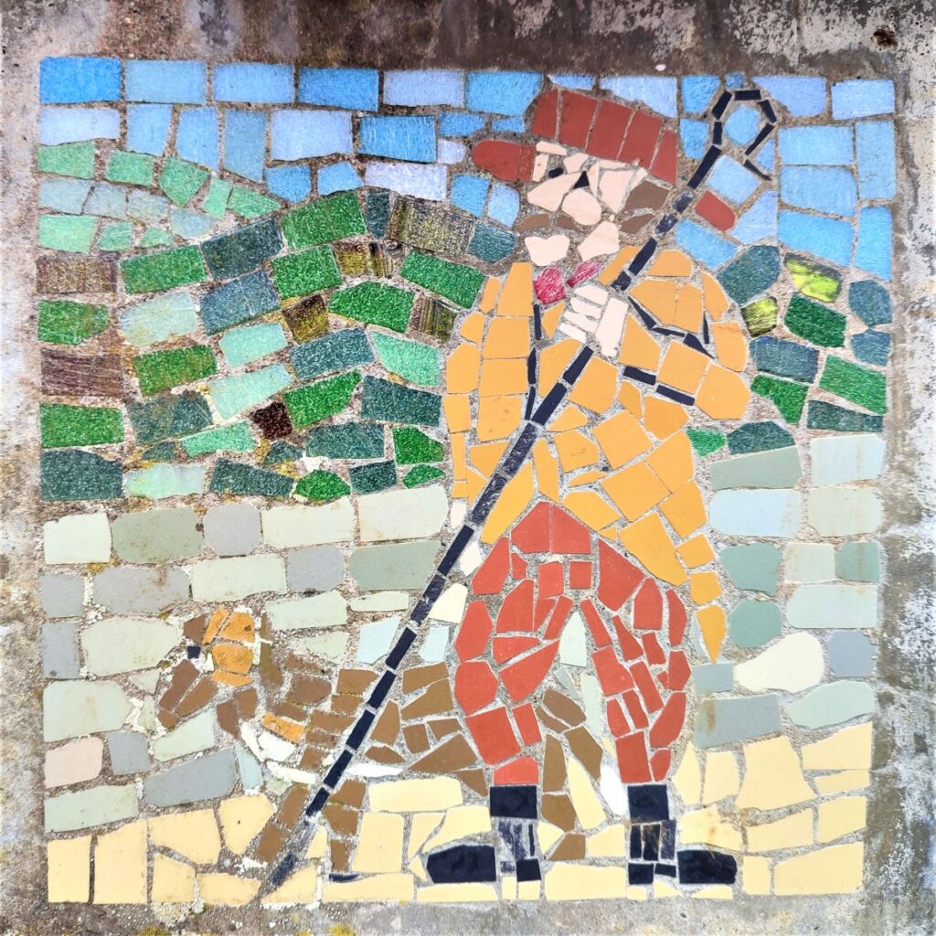
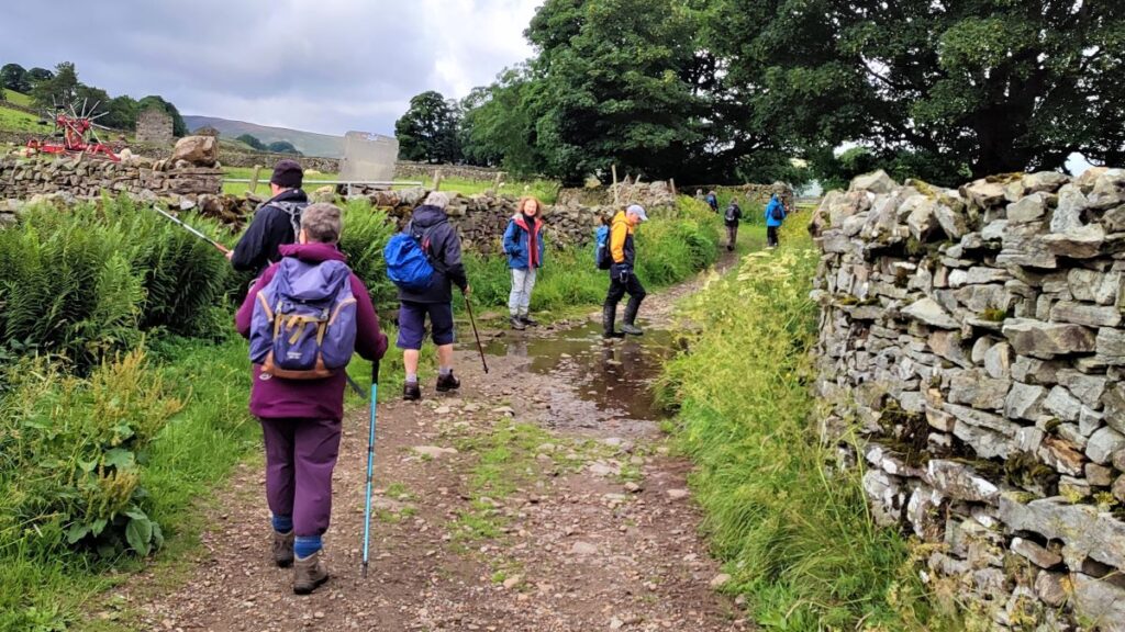
We now head out of Burtersett on the small road next to the Institute, heading West along Shaws Lane, passing a mosaic of a shepherd and dog as we head toward Gayle.
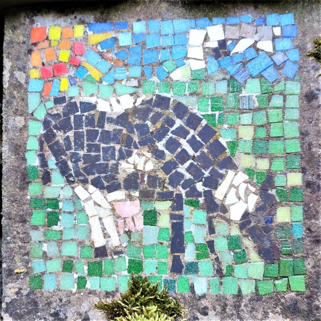
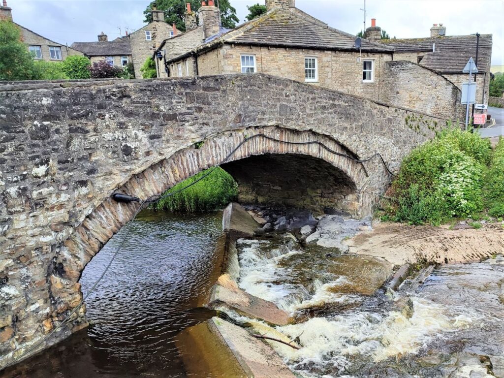
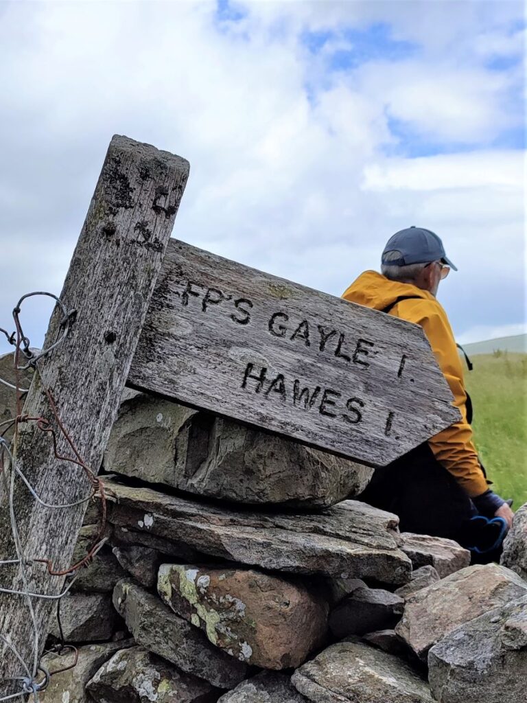
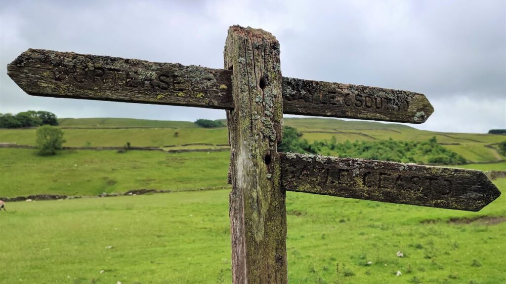
The lane gives way to a clear and well signed path over fields, and we soon arrive at a fingerpost offering a choice of routes to Gayle. We take Gayle East, which brings us to the village close to the road bridge over Gayle Beck – notice the mosaic of a cow as we arrive at the road.
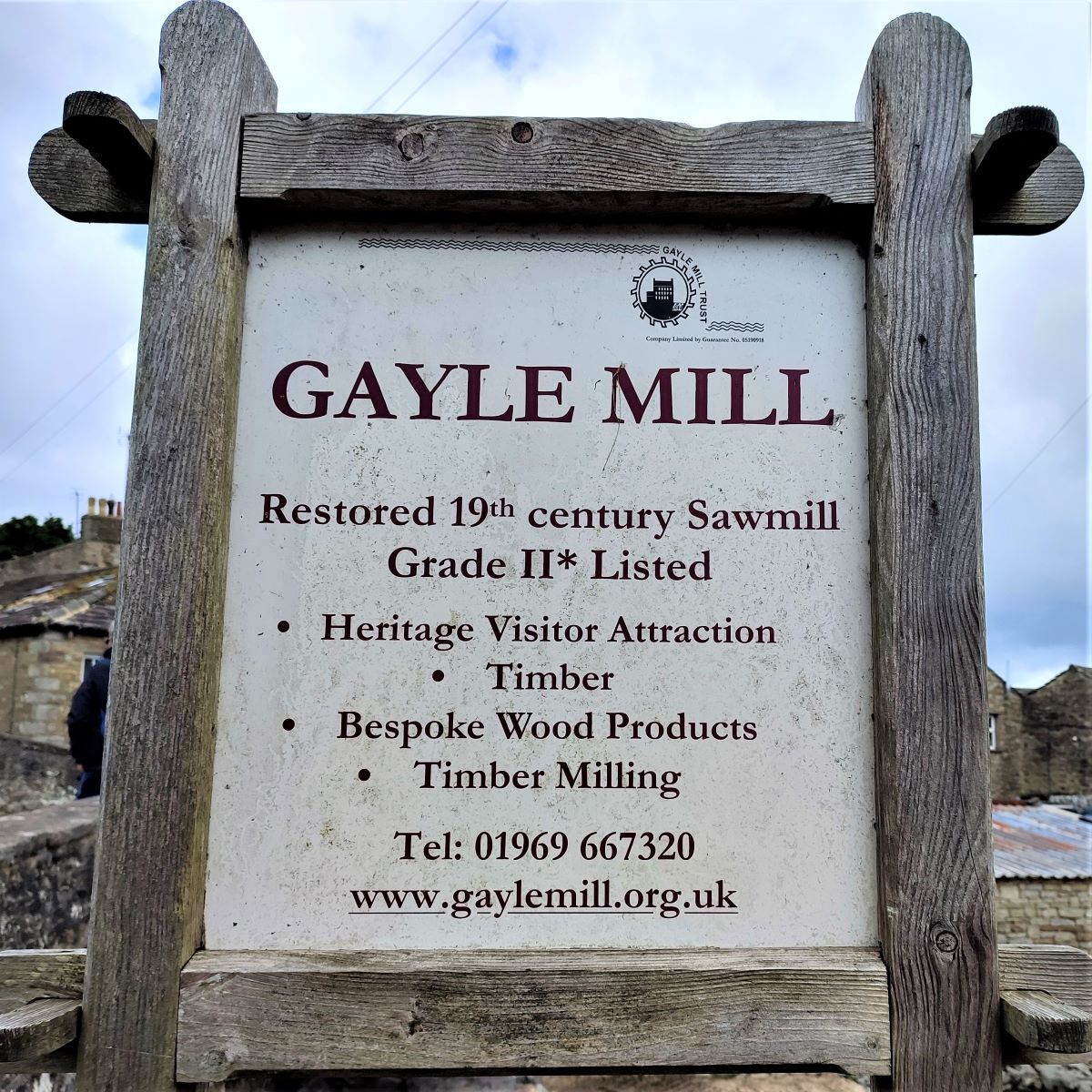
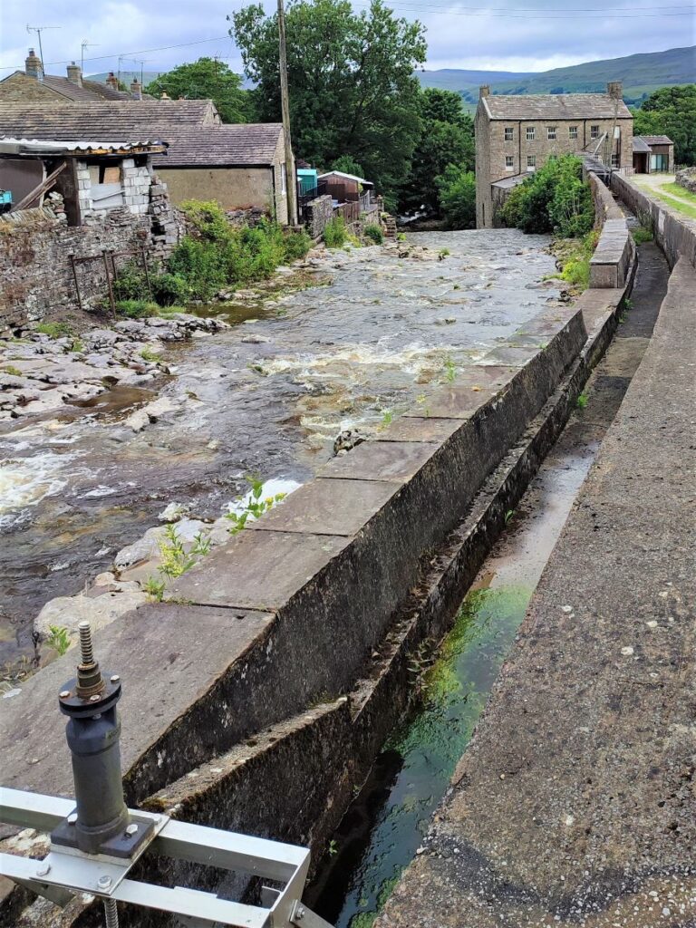
Also in Gayle, and not part of this walk, but well worth setting aside time to visit is the Gayle Mill, a restored 19th century sawmill. Notice the sluice gate at the side of the river that once fed the waterwheels and in later days water turbines. Click herefor more detail of this interesting site.
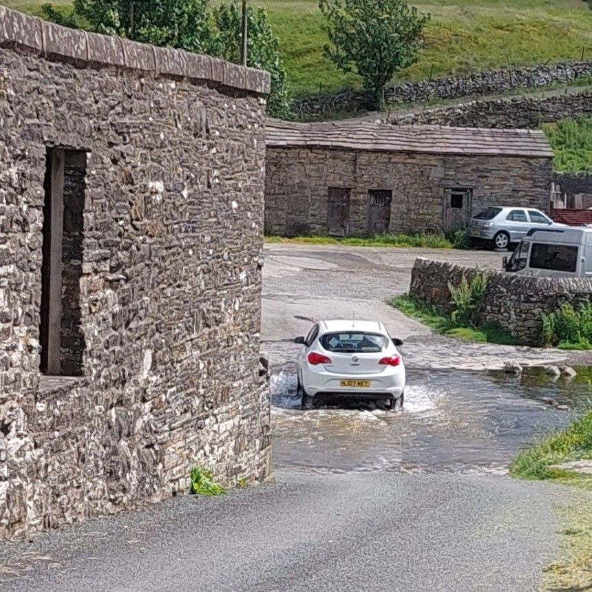
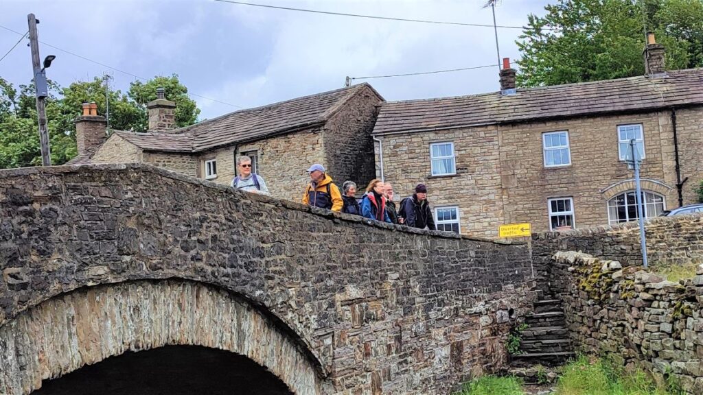
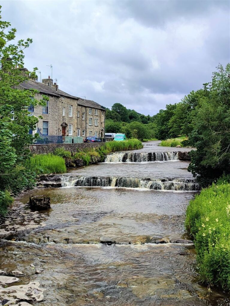
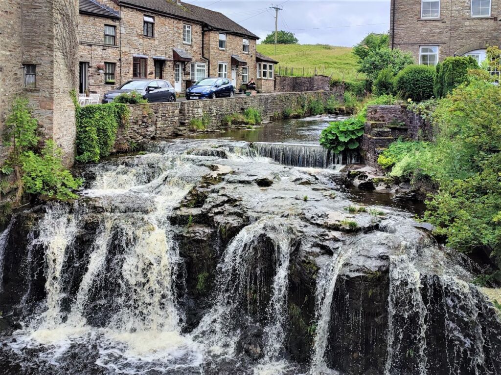
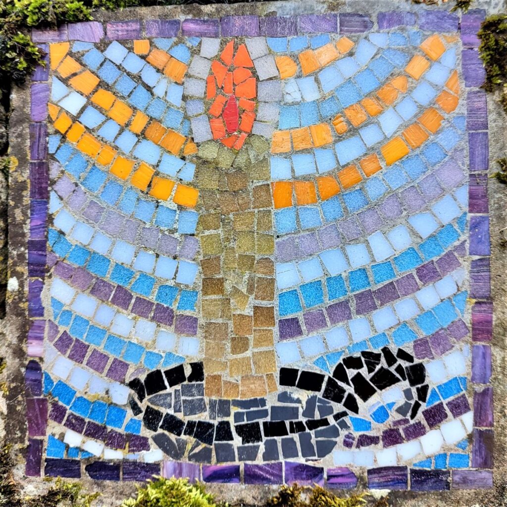
From here we cross the road bridge as if heading back into Hawes and look for the small path on the left immediately after the bridge. This takes us through interesting and pretty houses, past a ford and onto a minor road where we find a candle mosaic.
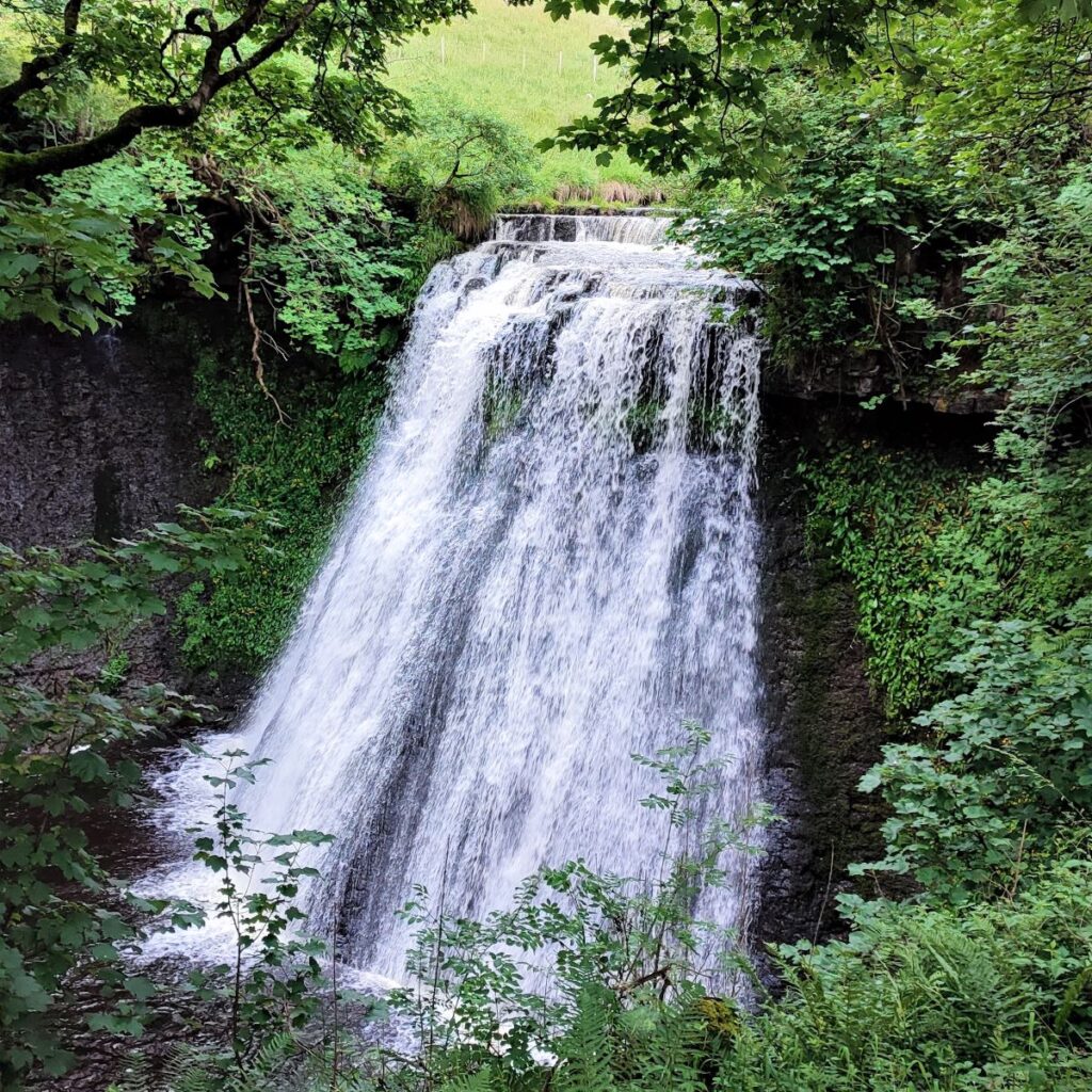
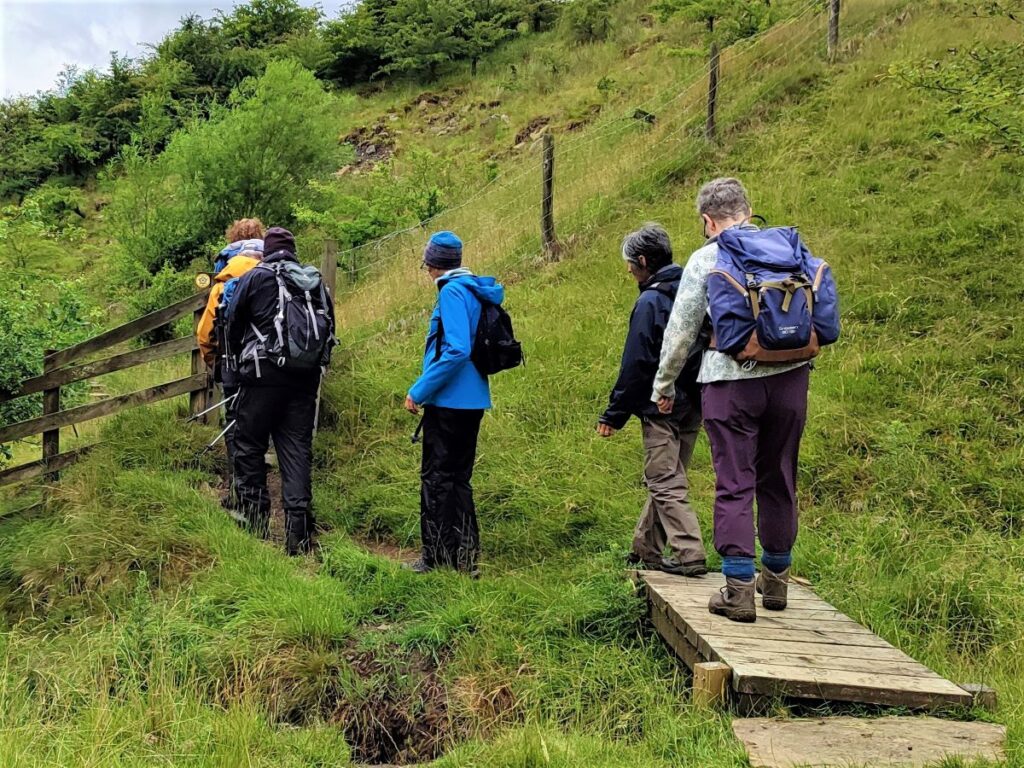
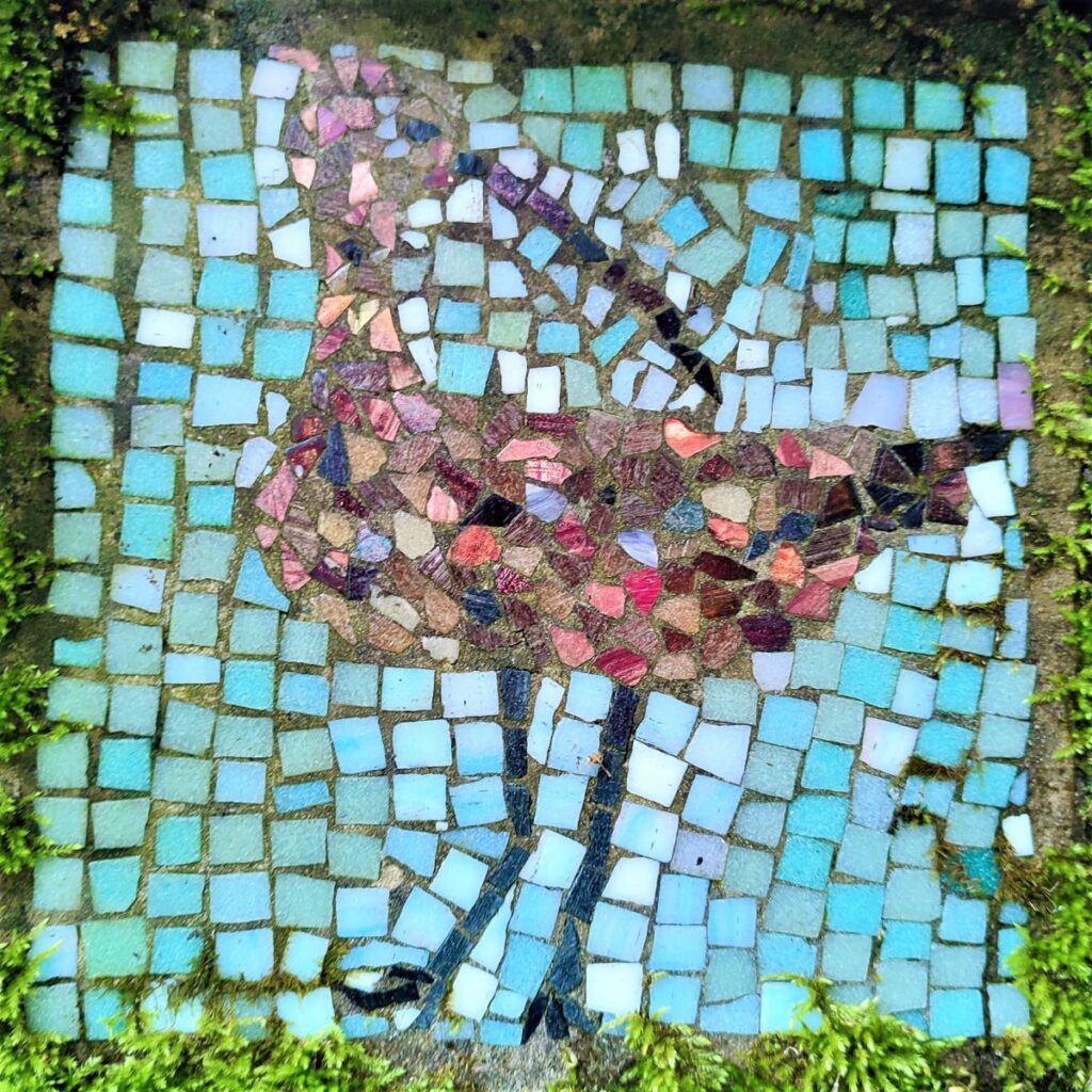
We continue for a short while, and as we arrive at the last cottage, we see a waymarked path heading uphill on the left. We take this and follow the path up to Aysgill Force, noting the Curlew mosaic in the last wall before the secluded 40ft waterfall.
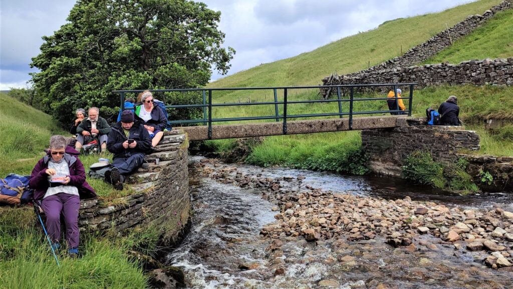
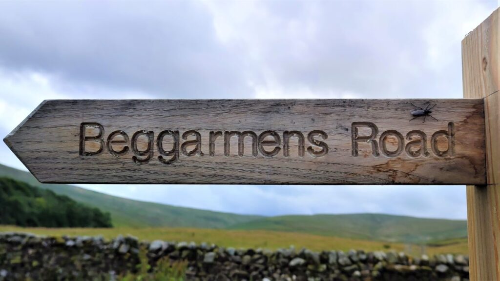
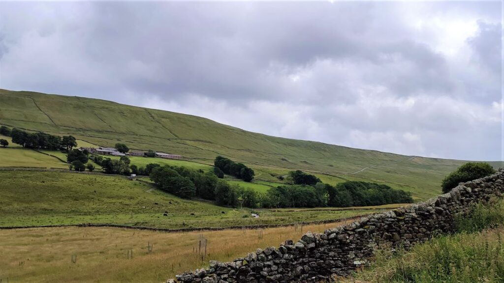
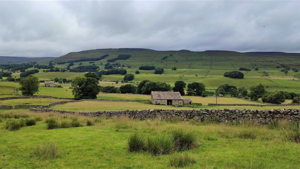
We continue on upstream – the path is on the right of the beck – until we find a pedestrian bridge, which is a great place to pause for lunch. As we sit and enjoy a break, note Whether Fell looming over us on the left, with the oddly named “Beggarmans Road” linking Hawes and Gayle to Langsgtrothdale and Hubberholme. The origin of the name is unclear, but it has been suggested that it relates to the steepness of the hill out of Gayle (one of the Guardian’s top 10 UK cycle climbs), which would beggar (tire) a man.
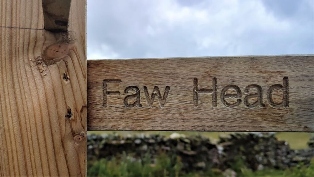
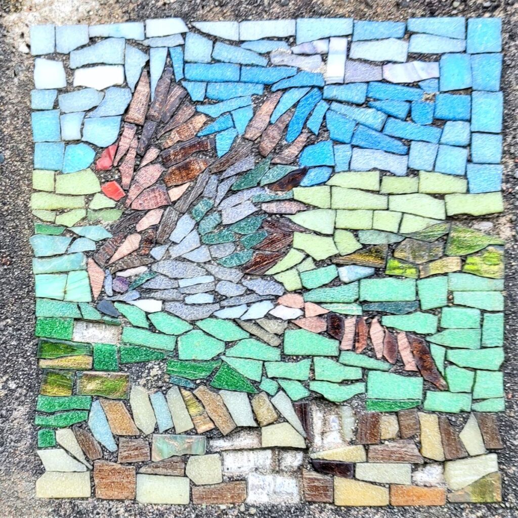
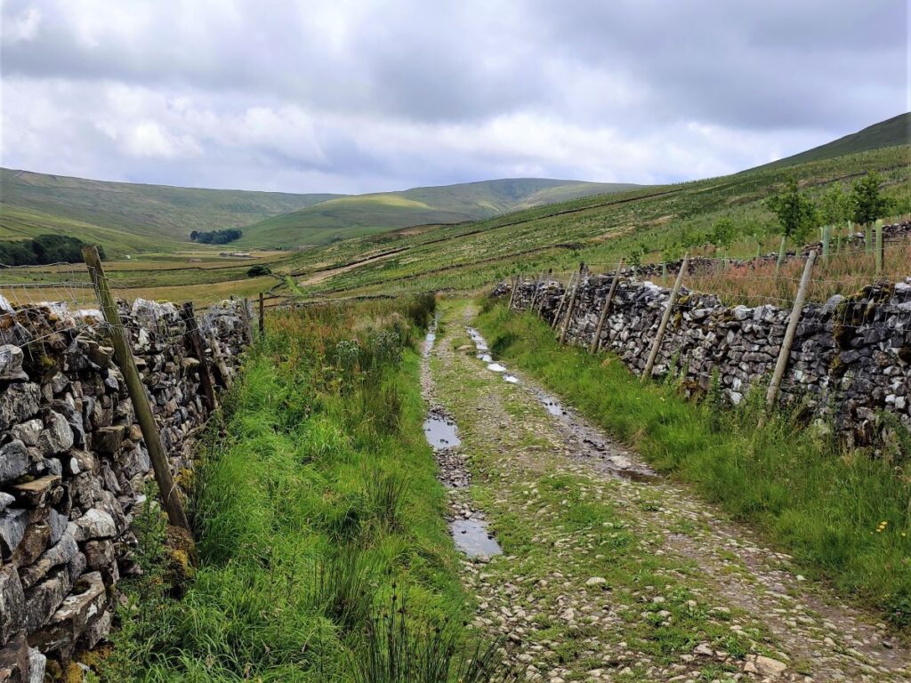
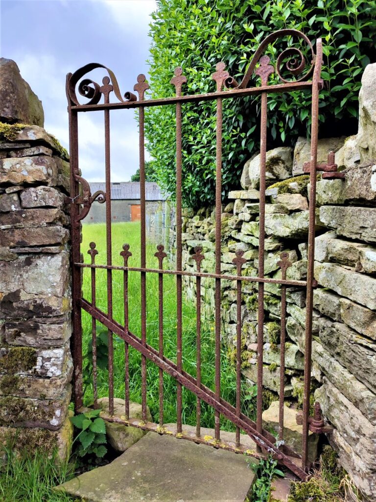
Refreshed, we stay on the right of the Beck and follow the path until we arrive at a fingerpost offering another choice of routes. We head right, signed for Faw Head, finding a metal gate which gives access to a green lane where we head right back toward Hawes and Gayle. Our next mosaic is set in the drystone wall to the right of the lane – and is the intensely colourful sign of the fish.
We follow the lane for a while now, passing a farm at Faw Head, and eventually arriving at the end of a minor road called Mossy Lane, which were we to follow it, would reconnect to the B6255 at the edge of Hawes.
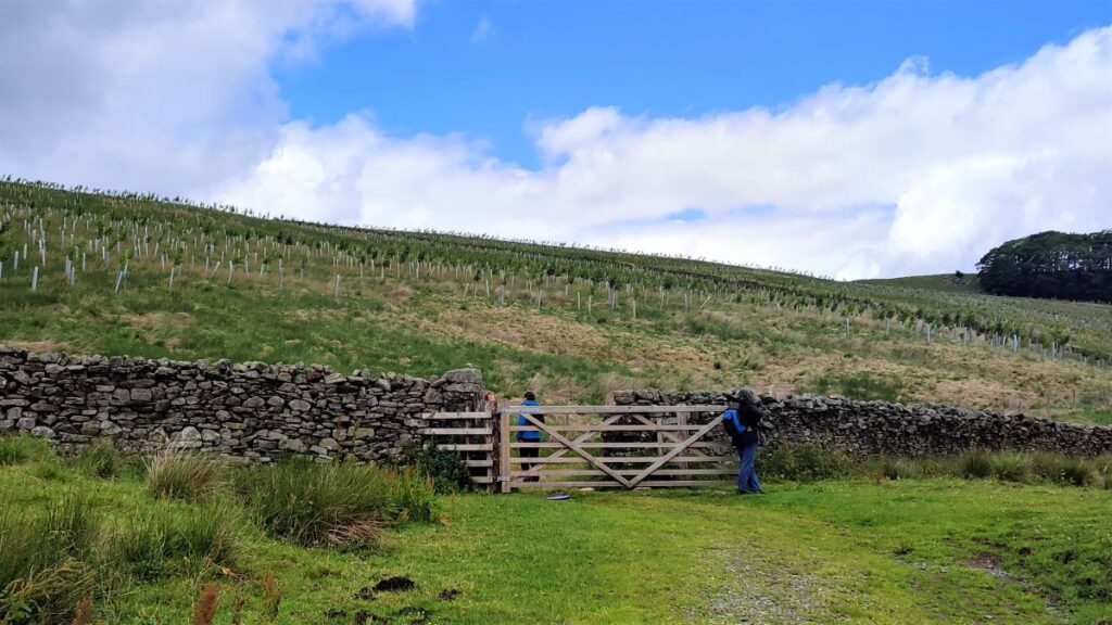
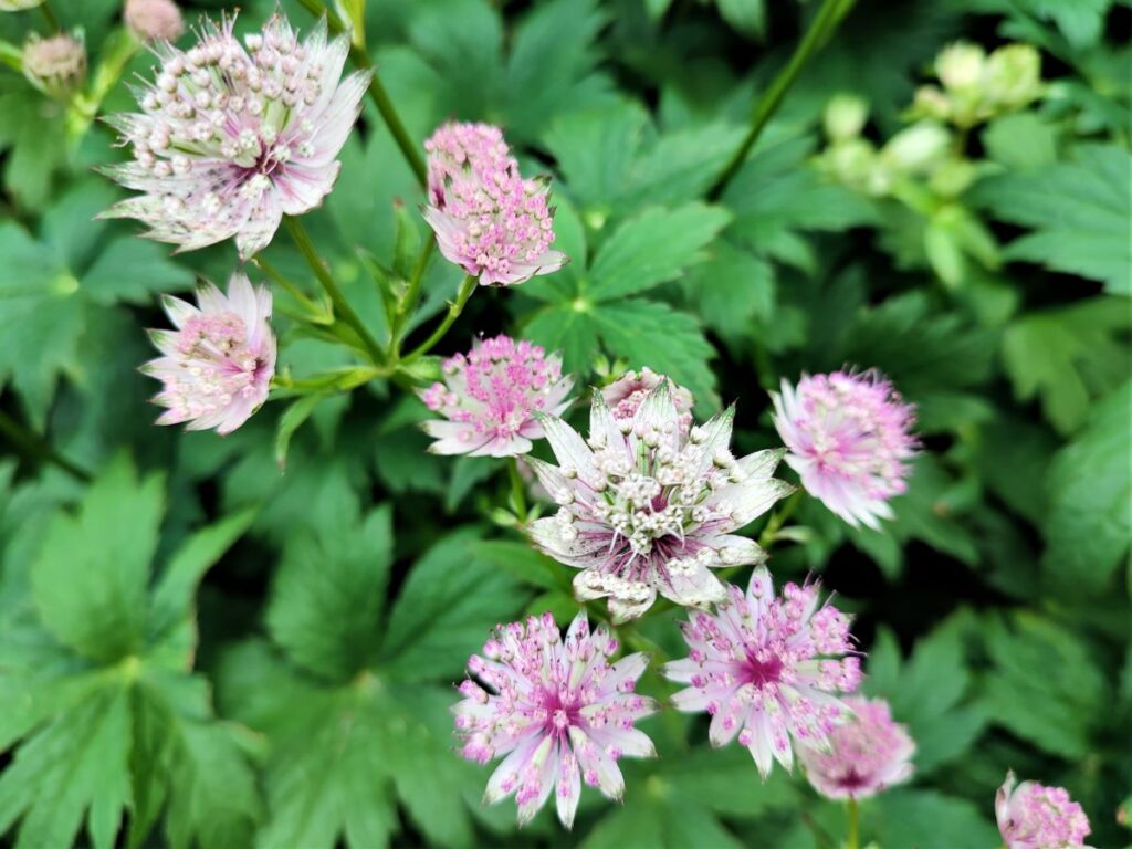
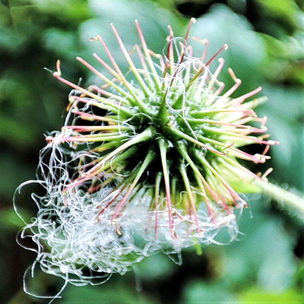
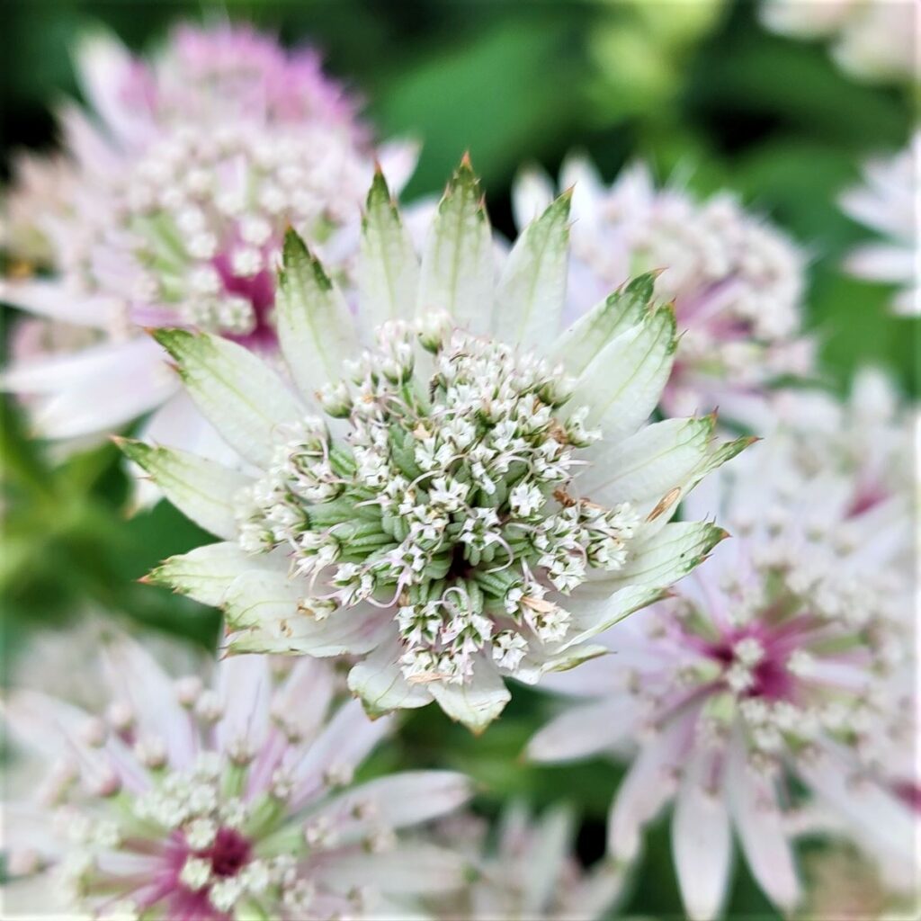
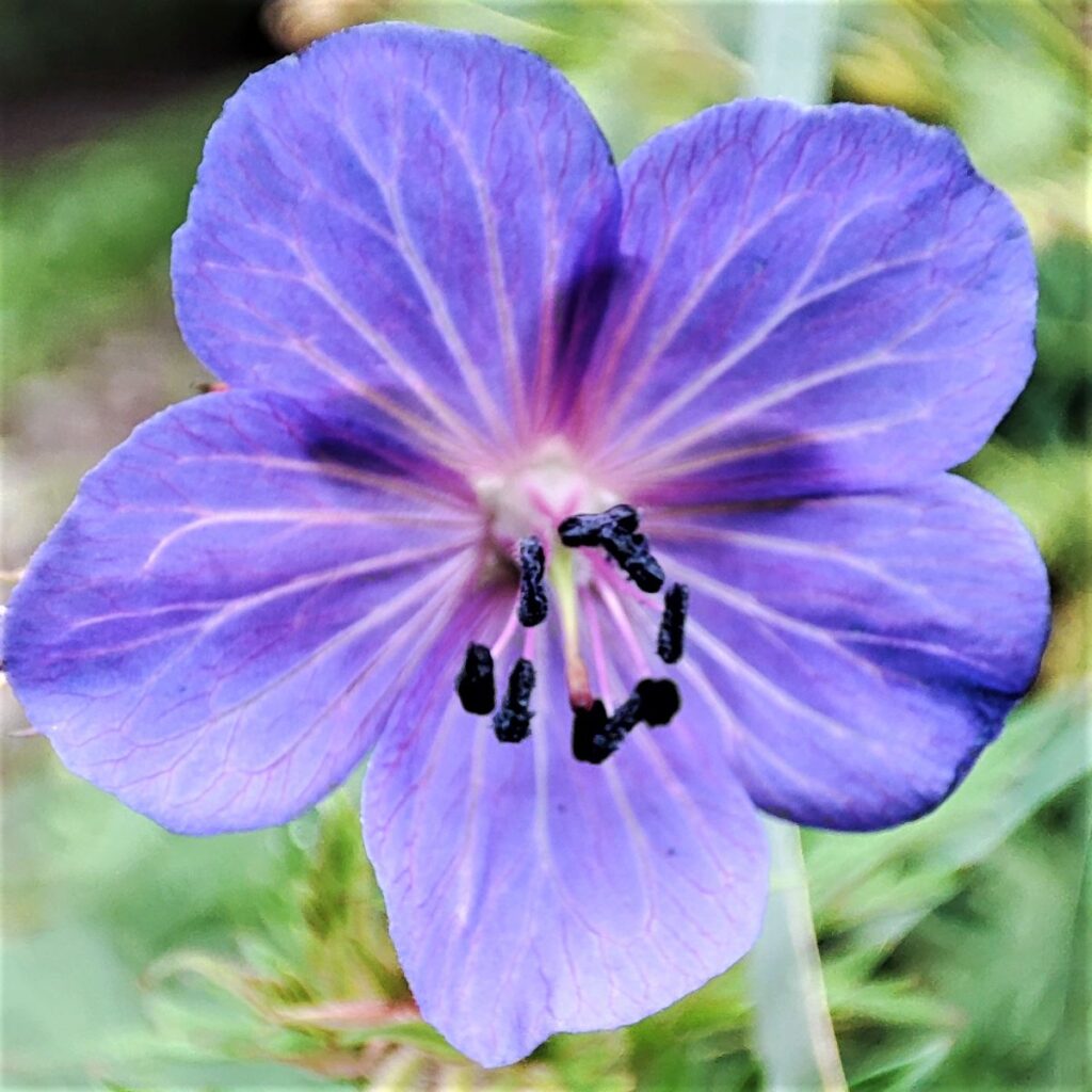
We don’t go that far though: We see, but do not take a path signed as Pennine Way on the left and continue down to the next metalled track on the left – this is Bands Lane, and we take the track up to farm buildings at Low Bands where we notice a mosaic depicting a small pink flower.
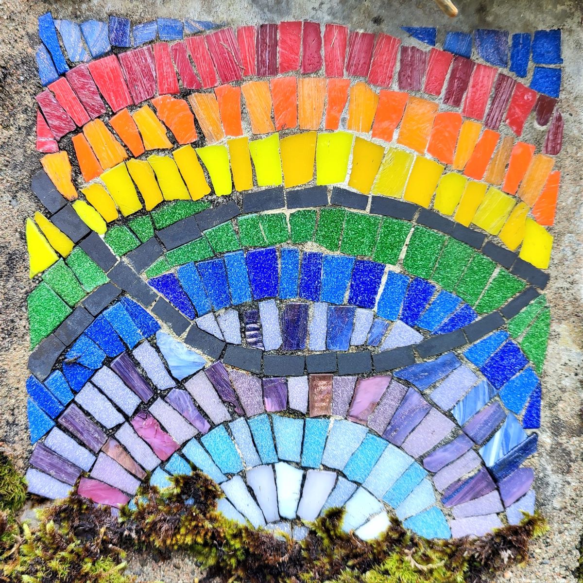
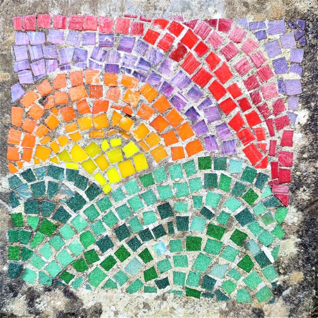
We carry on until we arrive at a T junction with another lane. This is the Cam Road again, this time the section that linked Hawes to Ingleton. We find a mosaic of a sunset here, before following the track to the right and down to the B6255.
We head right along the side of the road – care is needed here as the road is busy. We are on it for just a short section though before taking a waymarked footpath on the right back into fields. Before we do that though, we note the mosaic of a Kestrel set in the drystone wall to the far side of the road.
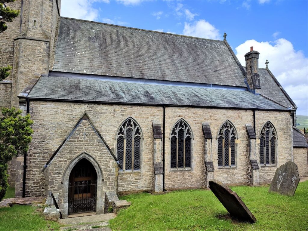
Once in the field the path forks, with the right hand route going back to Gayle, and the left (which we take) going back to Hawes. We cross Mossy Lane again and continue through a series of fields until we arrive back at Hawes near the creamery, where we take a well signed path back to the town centre at St Margaret’s church. From there the route back to the car park is short and easy to find.