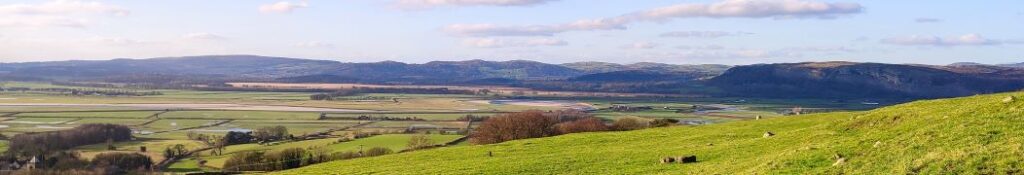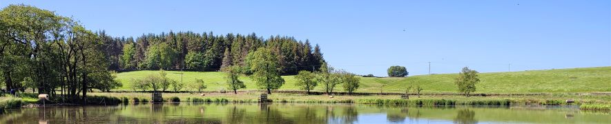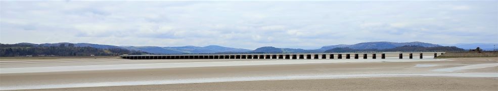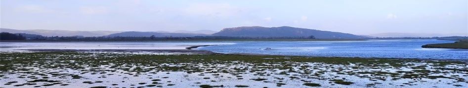
Kirkby Lonsdale and Casterton circular
5.0 miles | 8.1km | 164 m Ascent | 5.9 Naismith miles | Don Cartledge
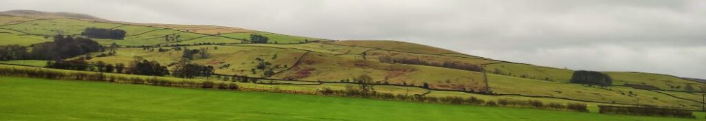
This is one of our shorter walks – partly because we revised part of the route on the day to avoid flooding, and partly because sometimes it’s just nice to offer an easier route that can be used to fill a Sunday afternoon or a spare couple of hours on a balmy summer evening.
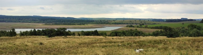
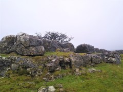
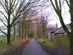
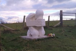
Despite being quite compact, this walk packs a lot in – we get to see the dismantled railway line that once linked Ingleton and Sedbergh, via Barbon, we walk on a Roman road, pass a number of Andy Goldsworthy art installations, catch a distant glimpse of a stone circle, visit the beautiful Holy Trinity Church in Casterton, walk on the access road to coal mines that can be traced back to the reign of Charles I, and all still have time left to get some shopping in Kirkby.
Kirkby Lonsdale and Casterton circular Read More »