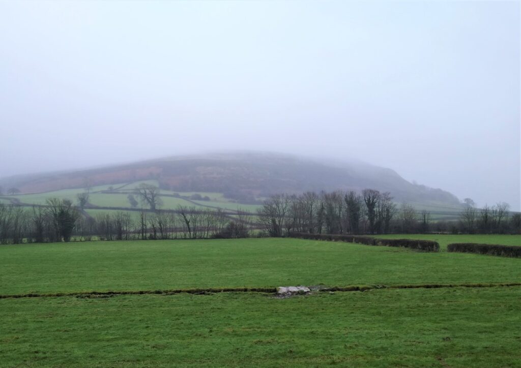
Holmepark Fell, along with Farleton Fell, Newbiggin Crags and Clawthorpe Fell, are prominent limestone hills often seen from the M6, and sometimes ignored by walkers: This walk aims to show the attractions of this unique area.
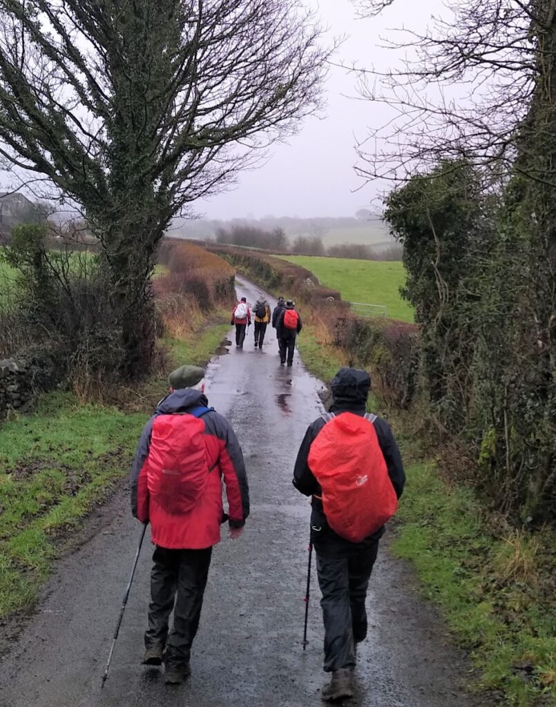
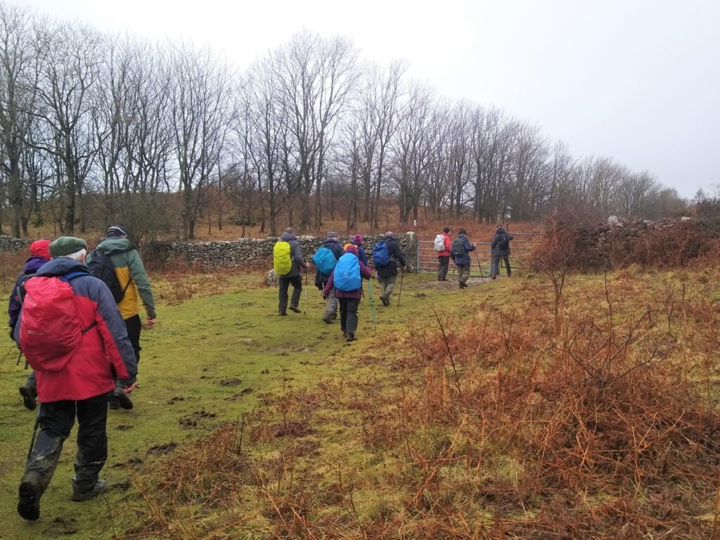
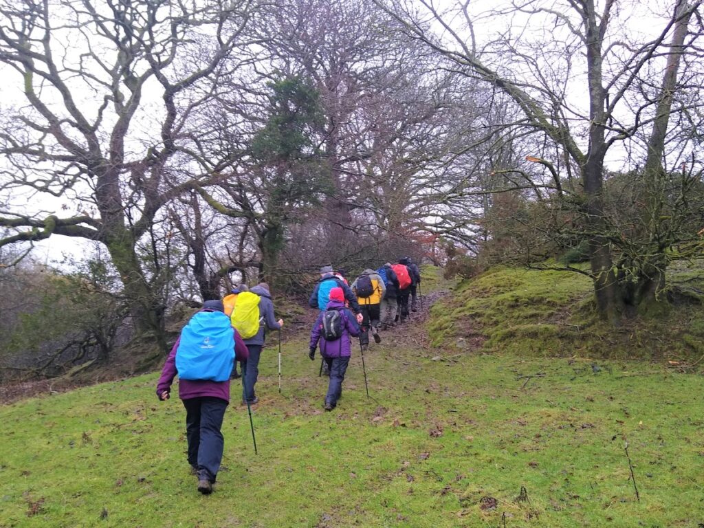
We start in Holme village and pick up the Lancaster Canal heading north and passing Farleton. We then take minor lanes around the back of Farleton Fell, before taking paths over somewhat wet fields to Puddlemire lane (should that have been a clue?) and then from Town End Farm up onto the base of Newbiggin Crags at Whin Yeats.
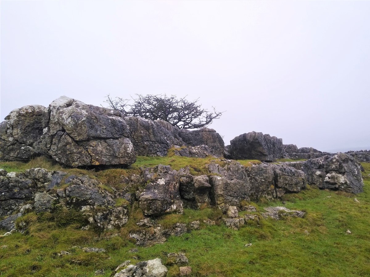
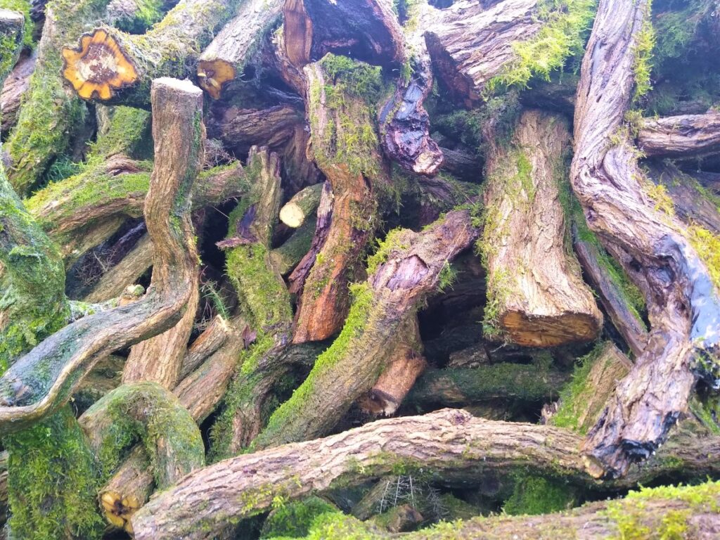
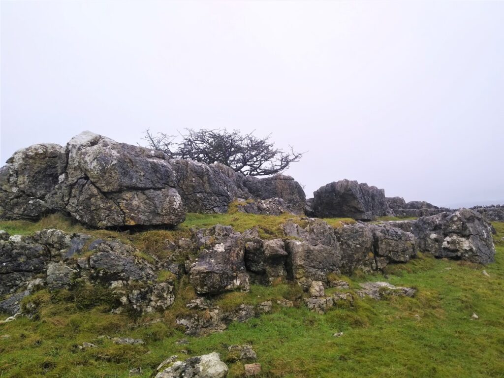
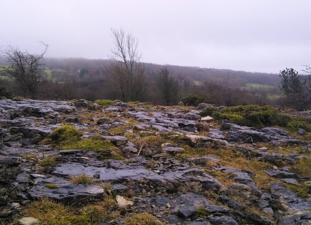
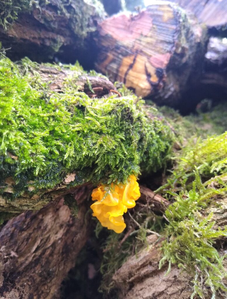
The landscape here is dominated by limestone outcrops and spectacular pavements with atmospheric isolated trees that attract many an amateur photographer. We briefly return to a minor lane before cutting through Holmepark Fell, next to the huge Holme Park Quarry, before meeting the A6070 at Holme Park Farm. A short section on the verge of the road returns us to Holme.
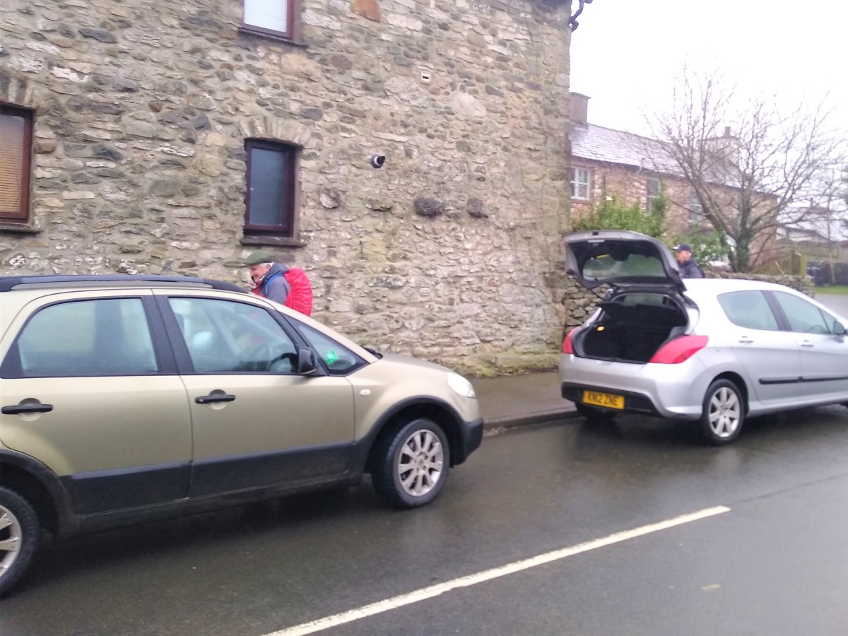
We start at the village of Holme – roadside parking is freely available, though as ever please park in a manner considerate to residents.
Holme is a small village, with one main through road. From the A65, take the A6070 south and 1 ½ miles after the roundabouts at the livestock auction site, take right into the village. For Satnav users, “North Road, Holme, Cumbria” should suffice, and for What 3 Words fans “monorail-follow-magazine” works.
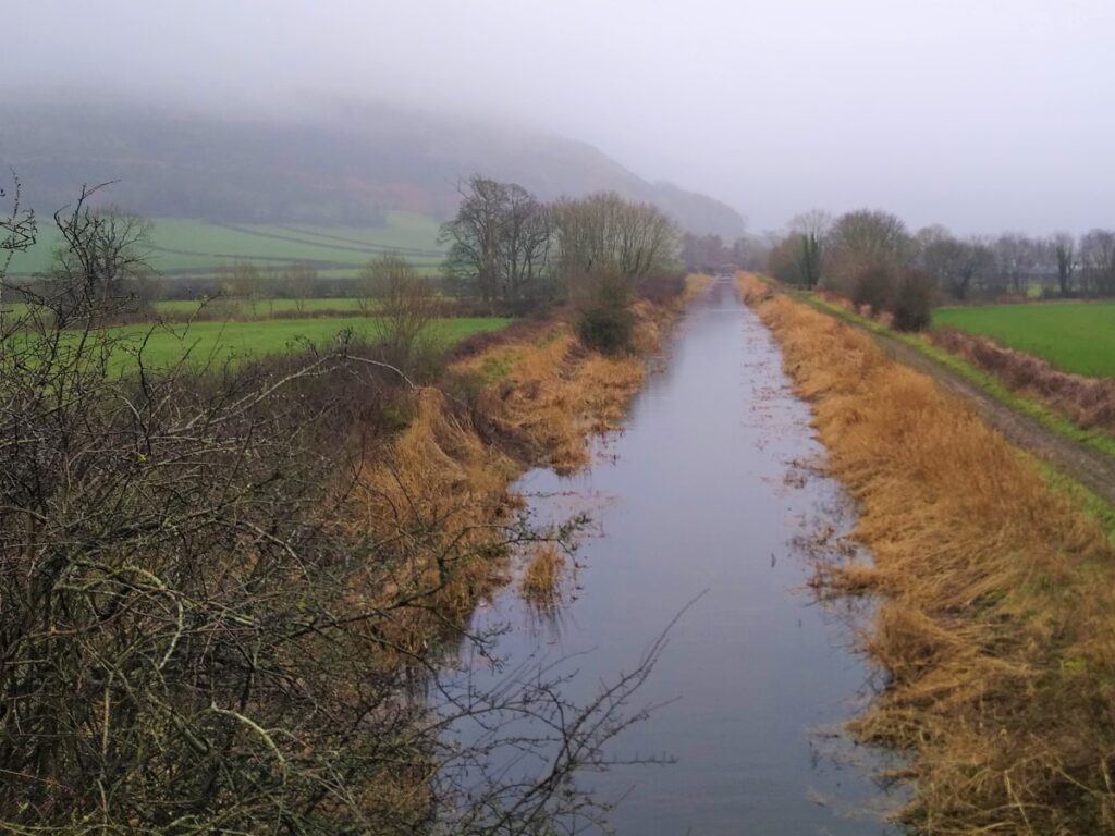
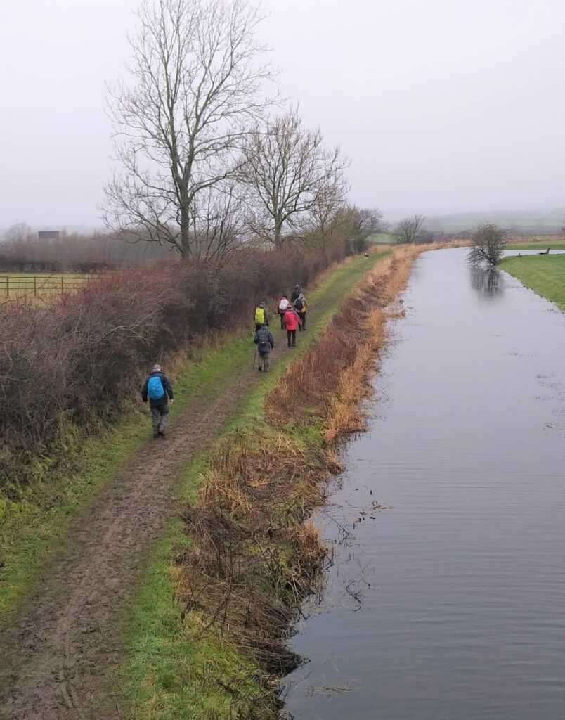
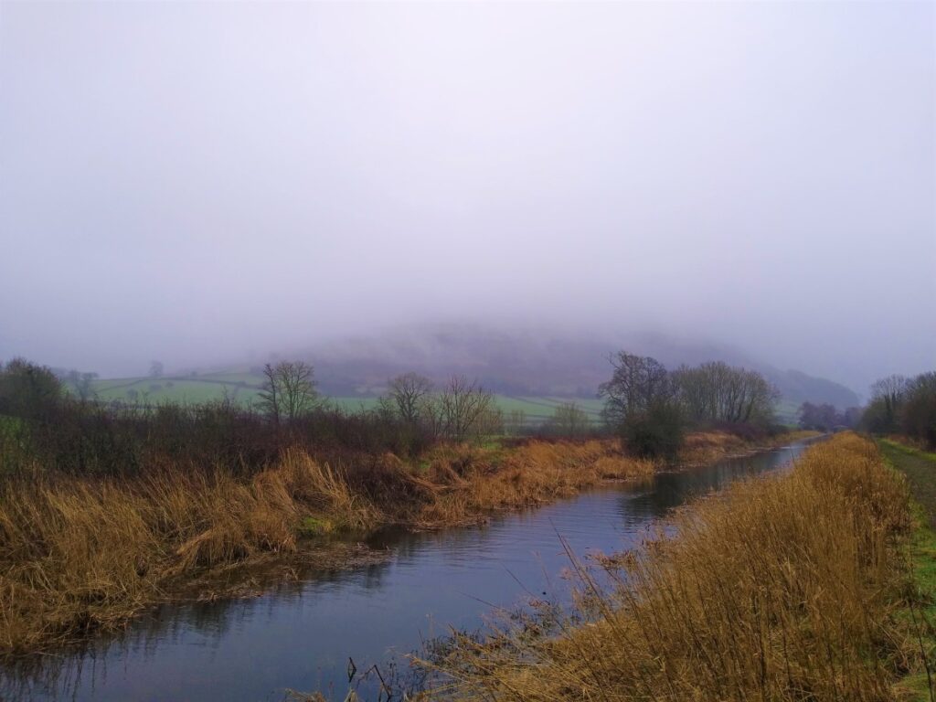
Initially, we walk back the way we came in – heading toward the A6070, and the M6. Before we get to either of these however, we meet the Lancaster Canal. There would once have been a stone arched bridge bringing the road into Holme, but this is now gone, and the “improved” access road severs the canal, adding to the challenge of restoring navigation to this once important waterway.
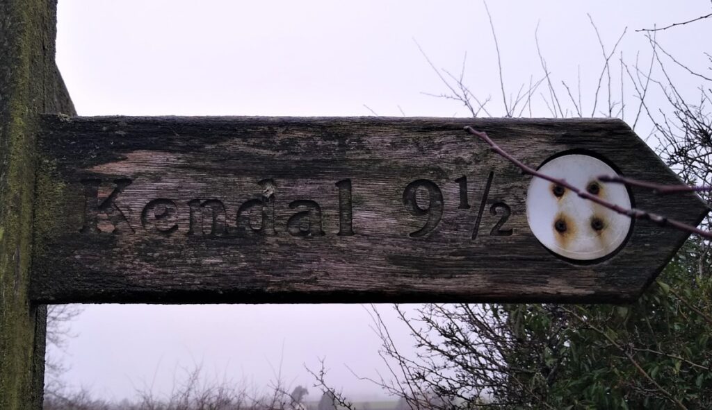
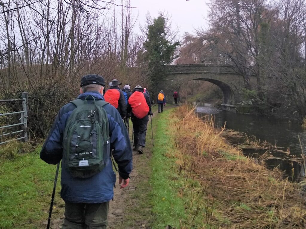
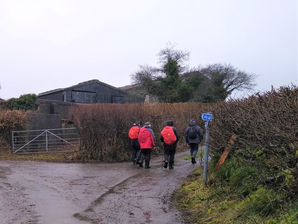
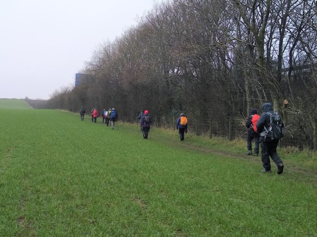
Take the towpath on the left hand side of the road and head North toward Kendal. Depending on the season, this is a good location to see swans and egrets.
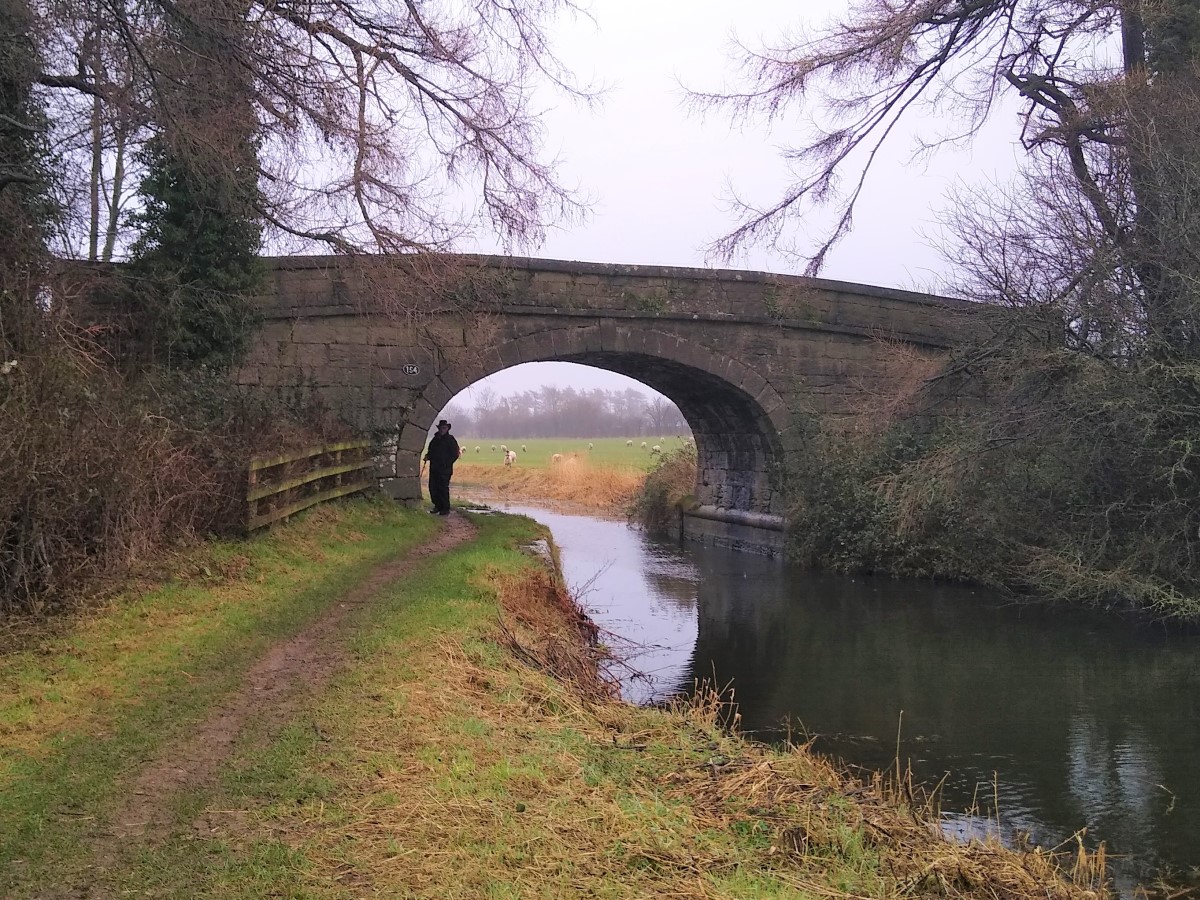
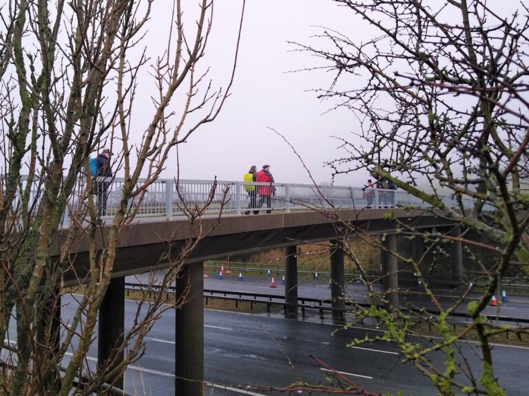
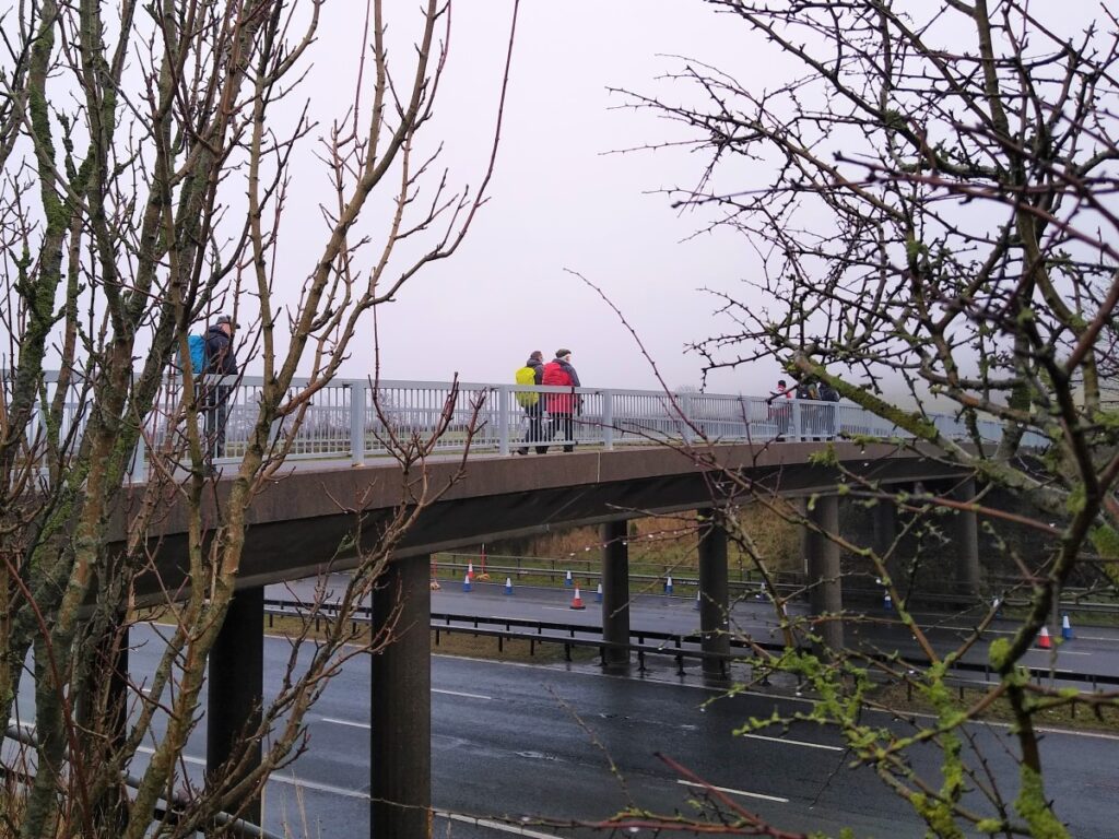
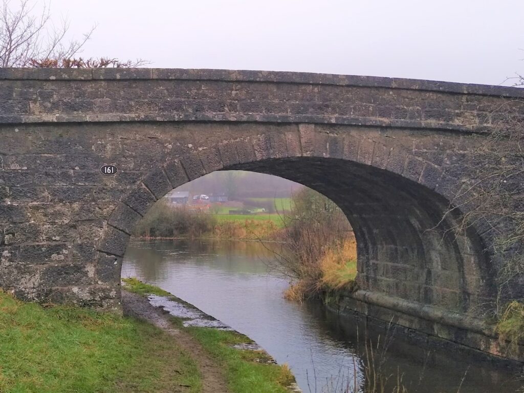
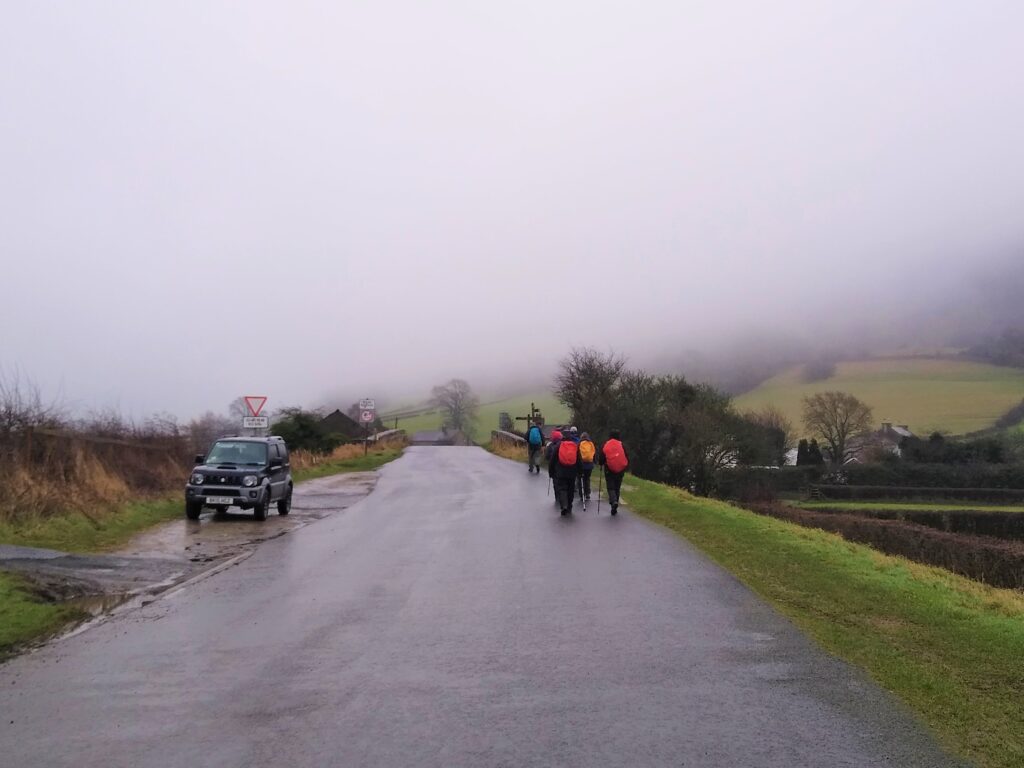
As we continue North on the towpath, we meet a fine original bridge referred to locally as Garth’s bridge, and continue along the towpath to meet the M6, which also cuts the canal. In this case, the towpath is also blocked, so we divert along the edge of the motorway embankment through fields on a well signed path. This soon rises to meet a road that crosses the M6.
We cross the motorway and continue along this minor road for no more than 30m to pick up the canal on the other side of the M6, at Duke’s Bridge. We take the towpath North again and follow the canal round as it turns right.
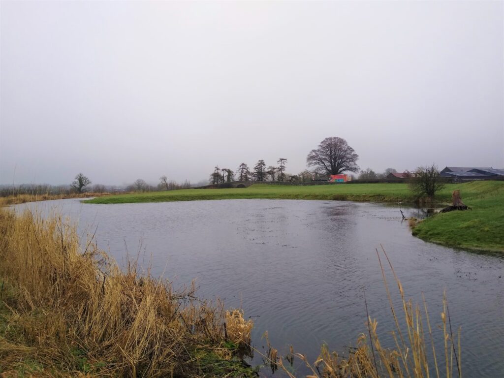
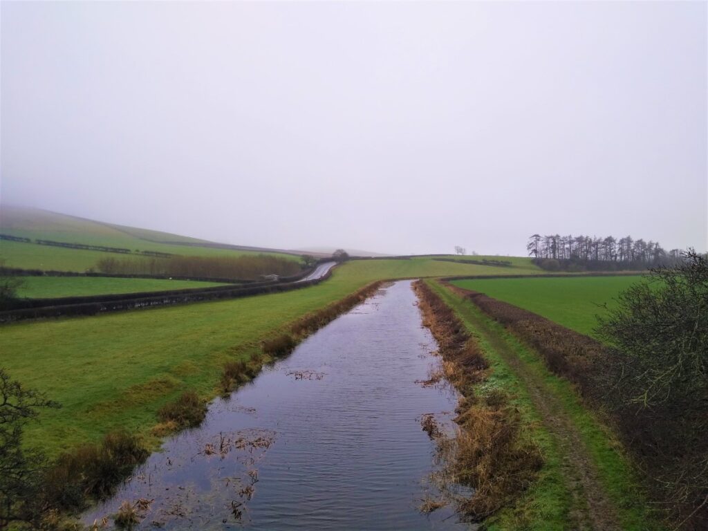
At this point we see the canal widen considerable. This is a structure known as a “winding hole” and was designed to allow boats – which were longer than the width of the canal – to turn round.
Also notable at this location is a now derelict stone building opposite the winding hole. This was once a “packet house” – essentially a station where passengers, or parcels, on daily “fast” boats from Preston to Kendal could board the boat.
in 1833, packet boats were timetabled to leave Kendal at 6am, carrying up to 70 passengers in 2 heated cabins. They travelled at 10mph ( more than twice the current canal speed limit) with horse changes every 4 miles, enabling them to arrive at Preston by 1pm.
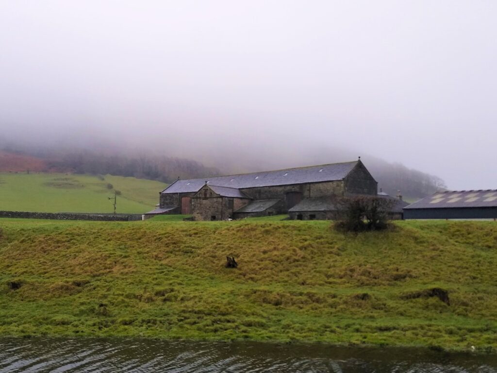
As the canal turns, we see Farleton and it’s bridge come into view, and we press on along the towpath toward Kendal. We pass the rather fine buildings at Kiln Hall, along with their bridge and follow the towpath along a long straight section until we cross the Farleton Beck aqueduct.
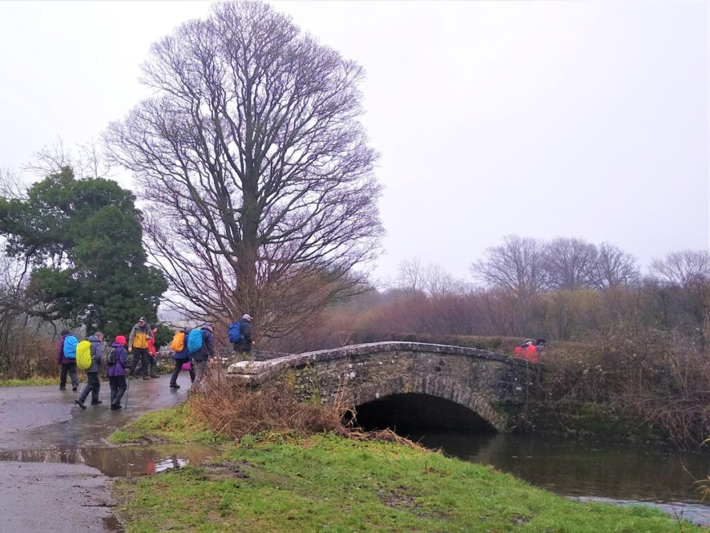
At the next bridge (no 161), we leave the canal and head up to the road, where we turn right and head East along a very small and quiet lane. This soon arrives at Dove House Farm where it forks – we take right and continue East.
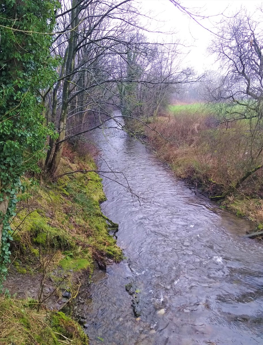
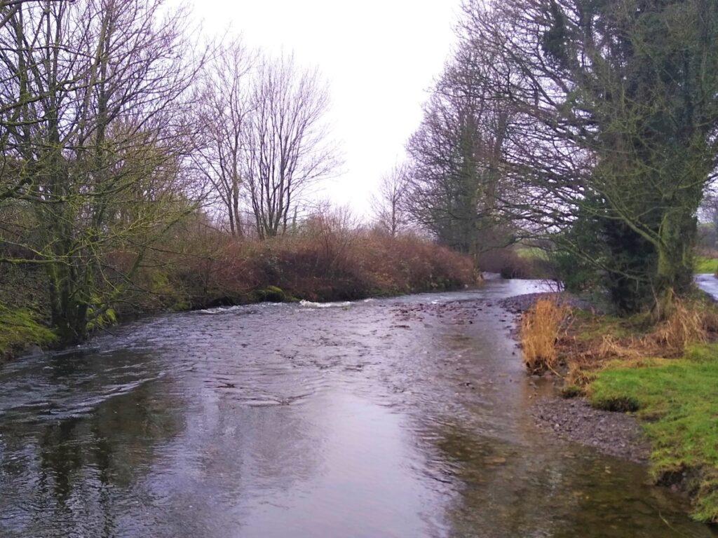
The road soon meets a small river. In fact, this is the same one that went under the canal at the last aqueduct, although on this side of the canal it’s called Lupton Beck. We cross the river via the road bridge and almost immediately take a path on the left to continue our Eastward travel now on the South side of the beck.
We now walk through open fields, and note that the drainage is not good, so in wet weather, progress can be challenging. In general we follow the Lupton Beck upstream, although it is not always visible from the path, which starts to veer south to cross a small ridge and head downhill toward a cluster of buildings at Aikbank.
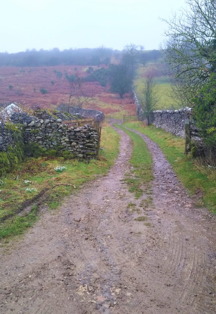
Here we pick up the access lane to these properties and follow it a short distance to a T junction where we take a sharp right, now on a surfaced lane. This soon takes a hard left turn, and we find ourselves on Puddlemire Lane – indicating that the wet conditions we found are perhaps not too unusual.
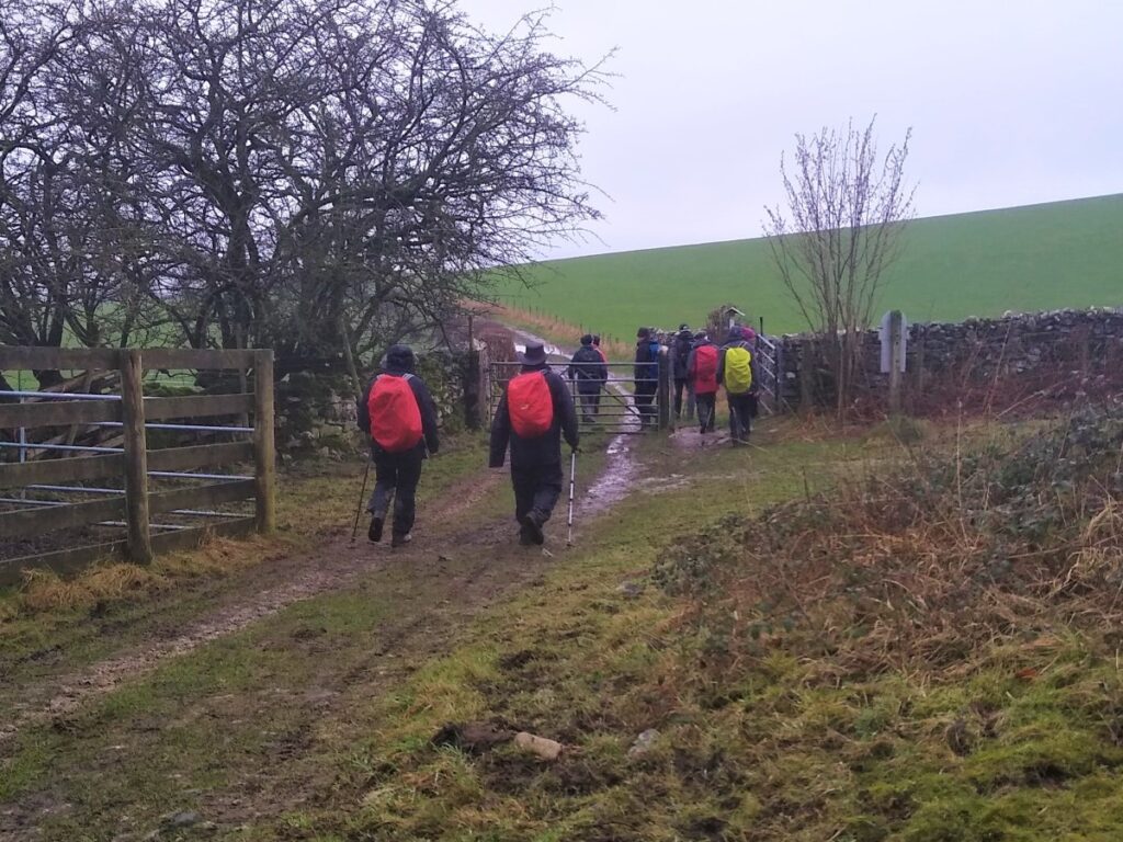
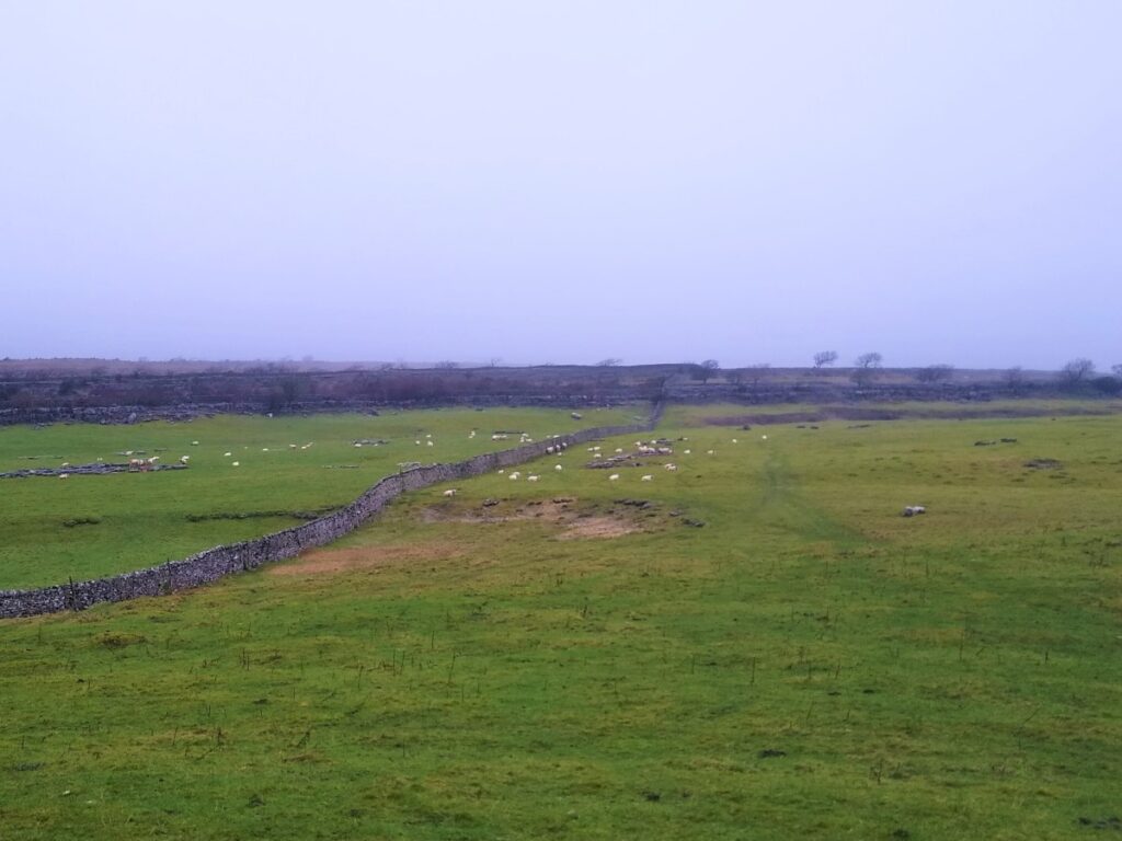
The lane heads SE, rising gently along the base of Farleton Fell which looms over us on the right. Notice that a number of paths emerge onto the lane on the right, connecting to the many routes which meander over the top of Holmepark Fell, Newbiggin Crags and Hutton Roof. These are well worth exploring another time – but expect to get lost.
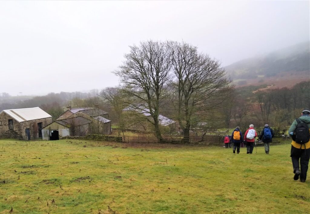
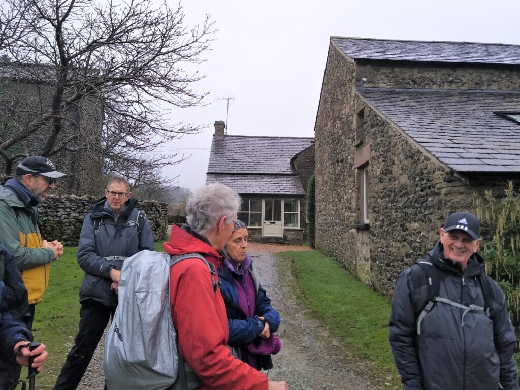
We continue along the lane until we reach a white farmhouse on the right. This is Town End Farm, and here we take the gated lane on the right of the farm up onto the fell.
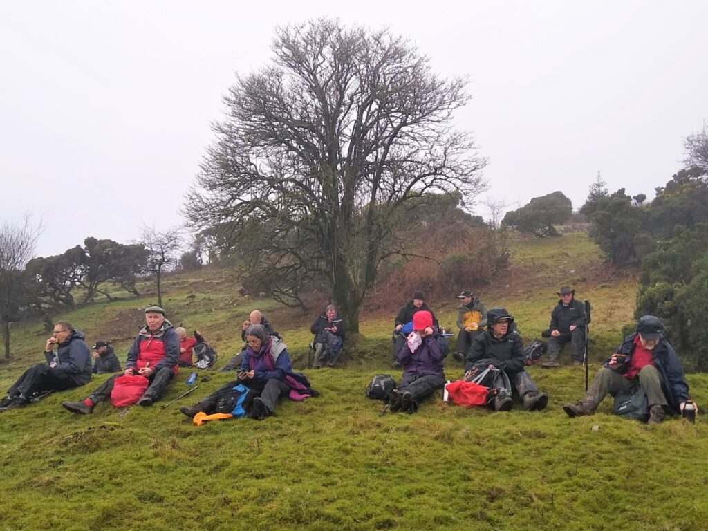
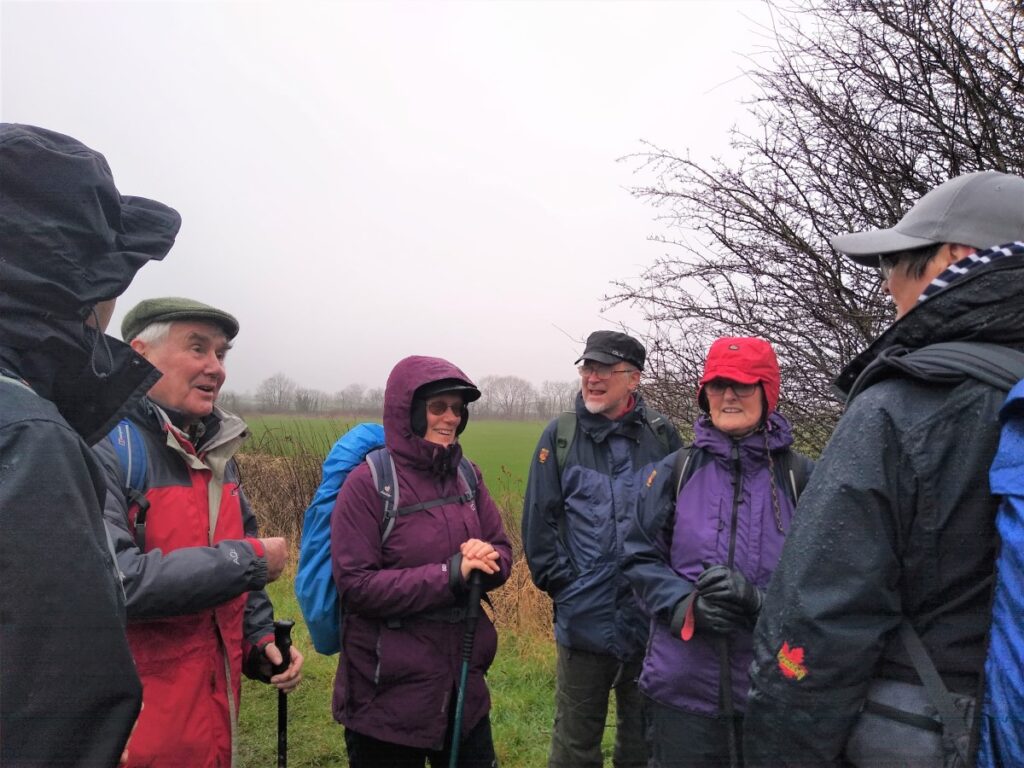
The track we are now on soon veers slightly left, taking us South and climbing at a steady rate up the fell, where we now start to see limestone outcrops, and ridge on the fell above us. The views are good here, and we are now more than halfway round the walk so, this is an obvious location for a break.
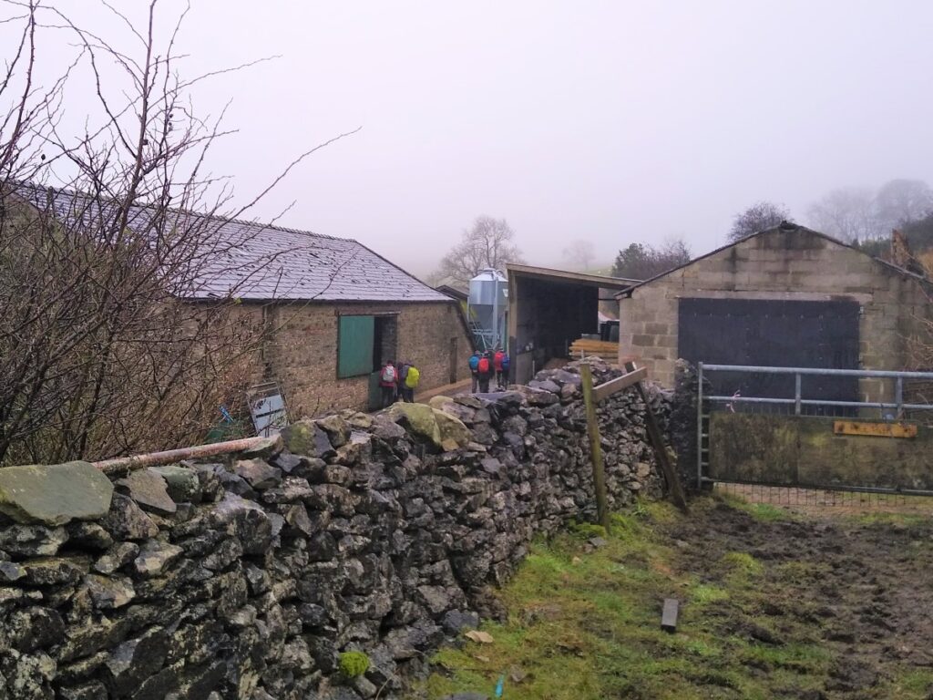
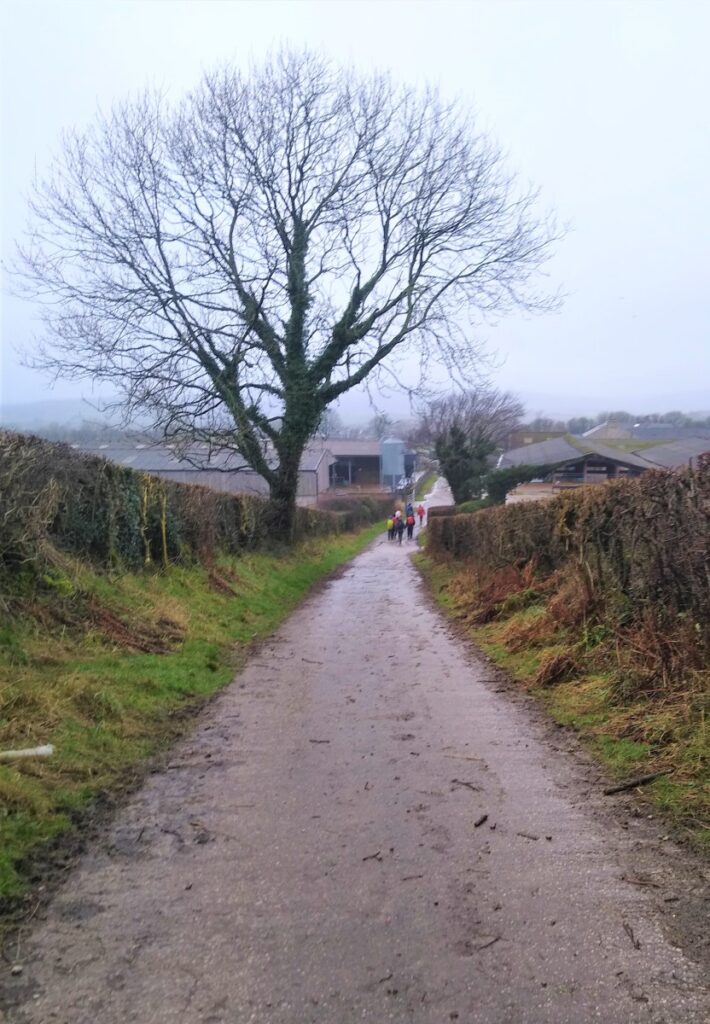
As we carry on, the lane eventually arrives at a farm at Whin Yeats, where clear signage takes us through the farm between barns to take the access lane south.
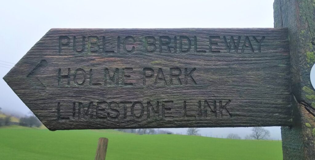
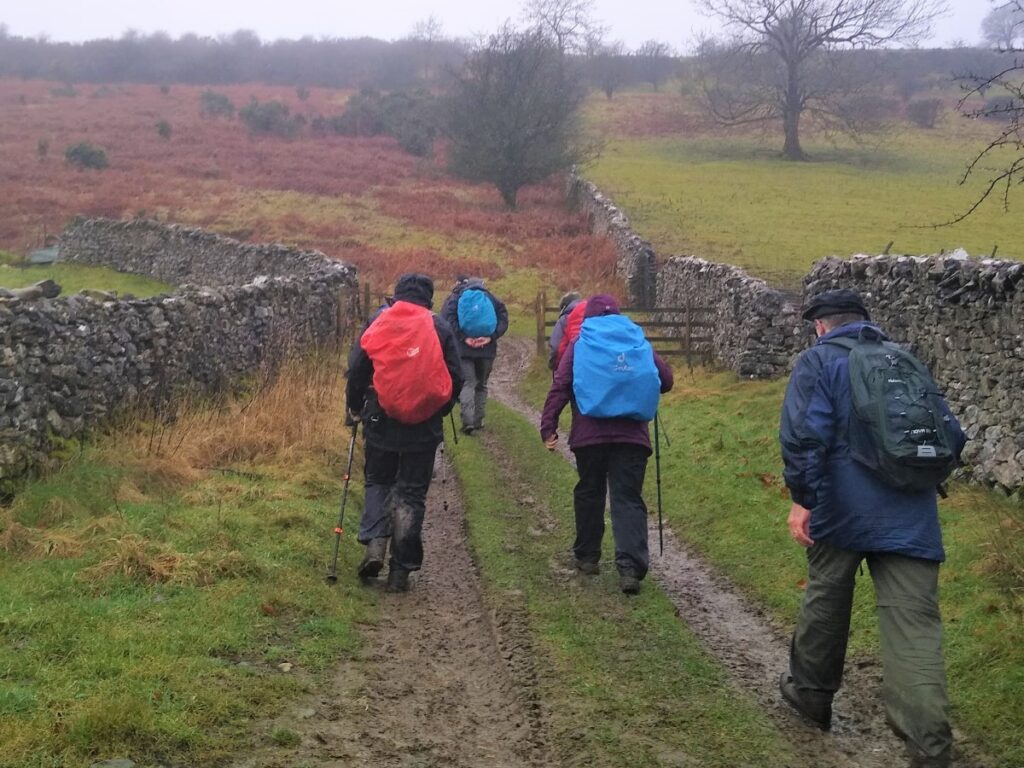
We then meet a fork in the road where we take right to follow the track down to a minor road, where we turn right for a short distance before taking a well signed bridleway (“limestone link”) on the right.
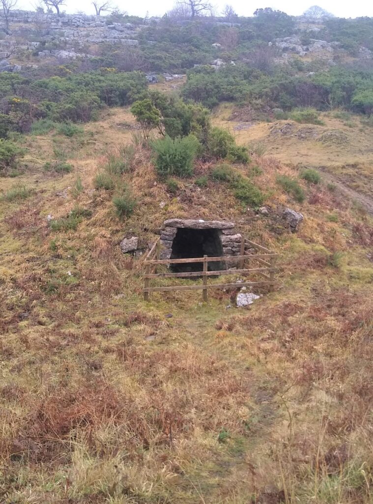
This takes us though the relatively gentle slopes between Hutton Roof Crags, and Newbiggin Crags, with (weather permitting) good views on both sides – we are now heading West, and soon start to see impressive limestone outcrops again, with Holmepark Fell above us on the right, and Clawthorpe Fell to our left. Look out also for an old lime kiln on the right.
Between the two fells is Holme Park Quarry – still active – and our route safely skirts the edge of the quarry offering a few glimpses of the vast hole that remains where countless tons of limestone have been removed over the years. The quarry is still commercially important and has recently been given permission to extend, with blasting and extraction set to continue until at least 2043.
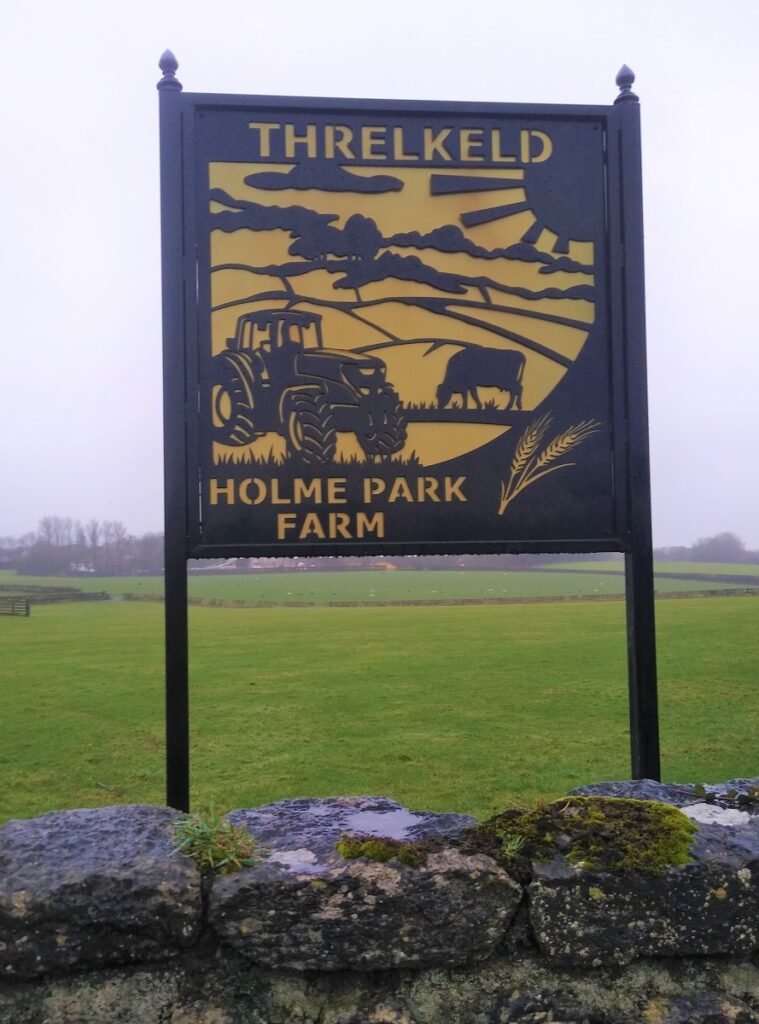
We follow the track around the outside of the quarry and down to Holme Park Farm on the A6070, where we turn right to head back to Holme.
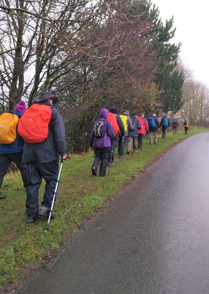
There is no alternative route here, so we walk carefully along the verge of the main road for a short while until we see North Road and our original route into the village, where the walk ends.