Jump to . . .Step by Step | OS Map | Downloads | Gallery | Fly through
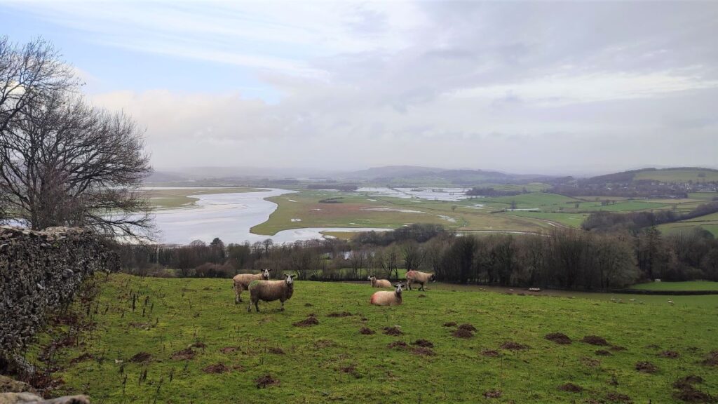
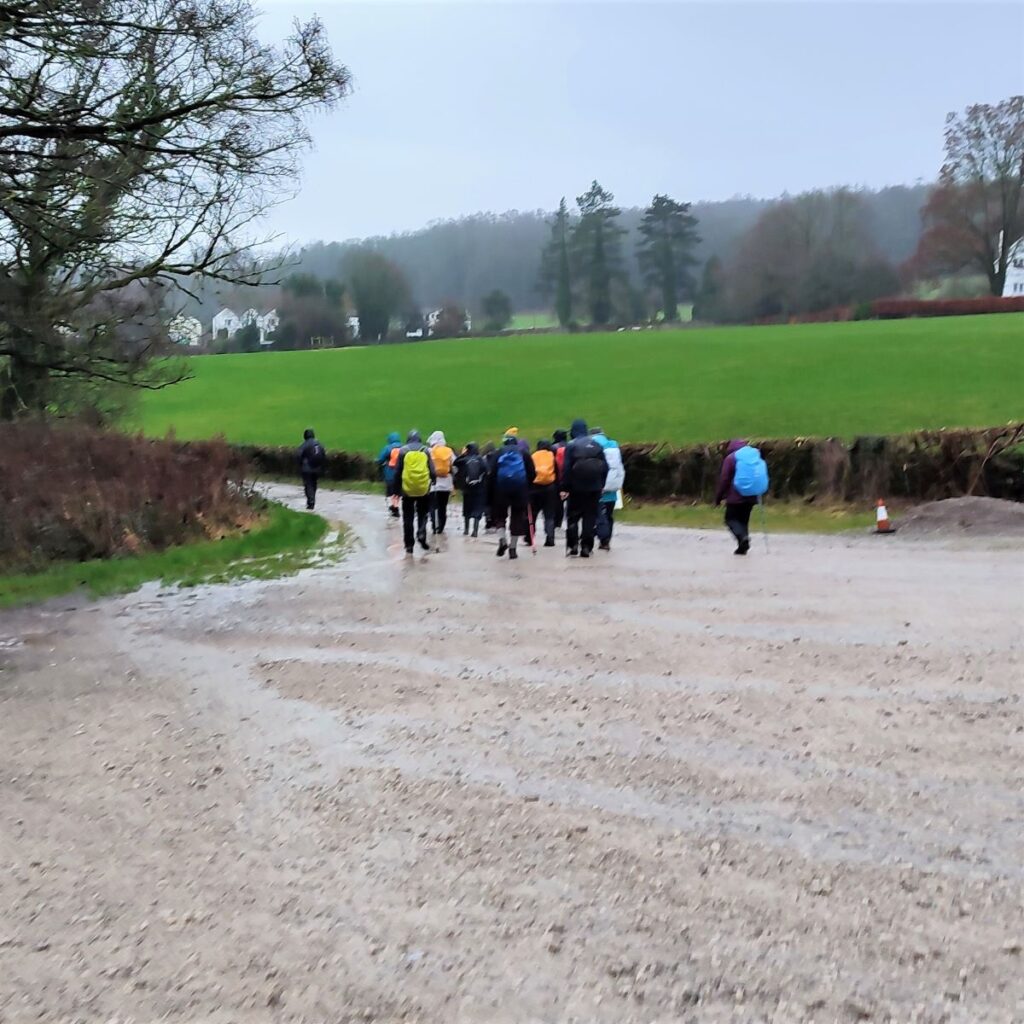
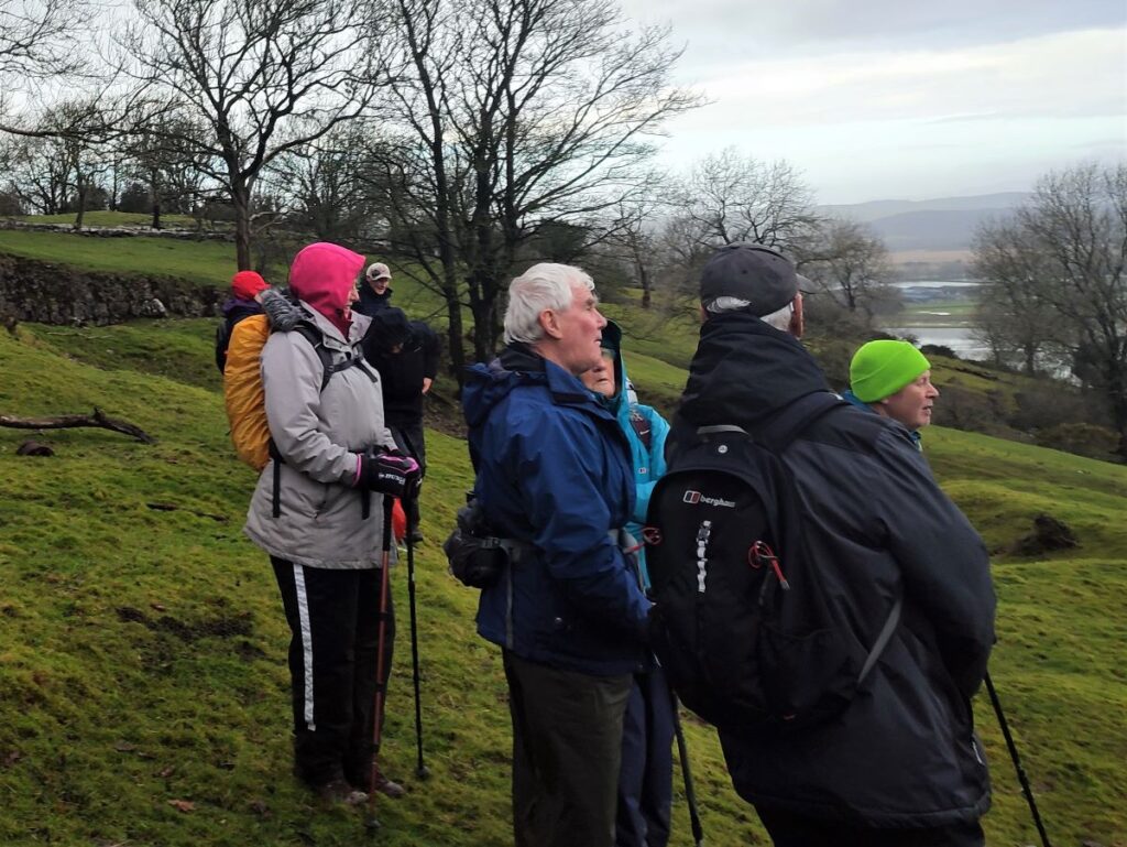
December 2022 saw The Bentham Footpath Group walking from Heversham with views South toward Beetham and the Arnside and Silverdale Area of Outstanding Natural Beauty (AONB).
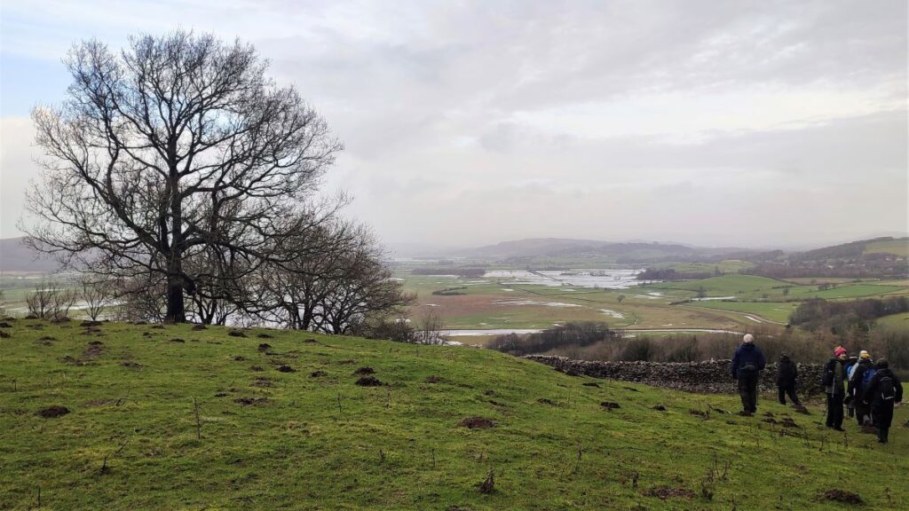
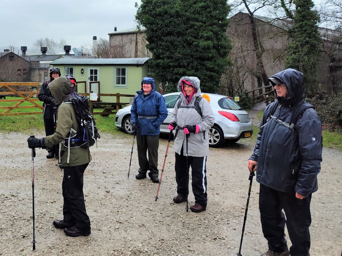
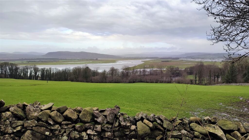
Just one month later, we start at the Heron Corn Mill in Beetham and then head through woodland and the famous “Fairy steps” to gain the complementary view – West across the estuary toward the Lakeland fells, and North toward Heversham and St. Anthony’s Tower.
We then skirt the estuary via the old railway track bed that we met on the Heversham walk, and then head up the river Bela, past Dallam Tower, and then though the deer park back to Beetham.
This walk is ideal for the shorter winter days – it’s relatively easy and offers a variety of landscapes as well as breath-taking views.
- Total distance 9.2 km (5.7 miles)
- Total ascent 309 m
- Easy walk
Step-by-Step
Beetham is just South of Milnthorpe on the A6. The walk starts from the car park of the Heron Corn Mill. If you are driving North up the A6, then look for the Beetham Hall Crematorium on the left as a landmark, then take the second on the left which is Leighton Beck Lane – don’t be distracted by the first on the left which is signposted for the Heron Theatre. From Leighton Beck Lane, take a right to follow a single track lane down the side of the river and up to the car park.
Heading south is perhaps easier – look for the Pelta papermill on your right and turn right into Leighton Beck Lane at the end of the works – then proceed as per the directions above.
If you are using satnav to find the carpark, then the address for the Heron Corn Mill is Mill Ln, Milnthorpe LA7 7PQ, whilst the appropriate what-3-words tag is exist.dialects.shadow. If you prefer paper maps, then the grid reference is SD49567994.
The car park operates on an honesty box system – so please support the good work of the Heron Corn Mill by making a generous donation.
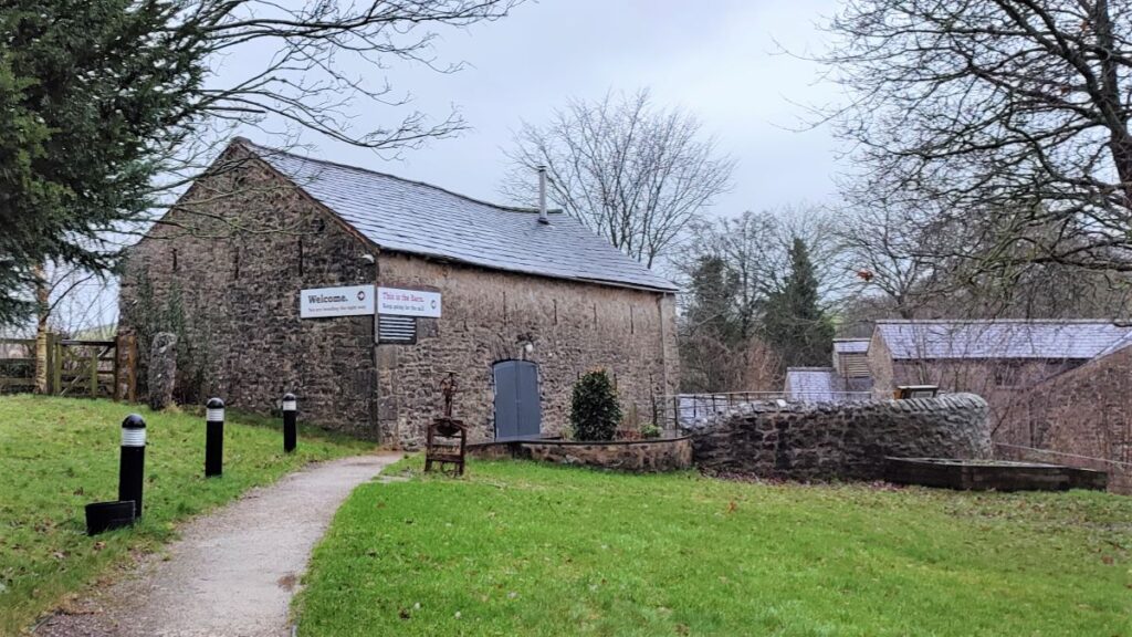
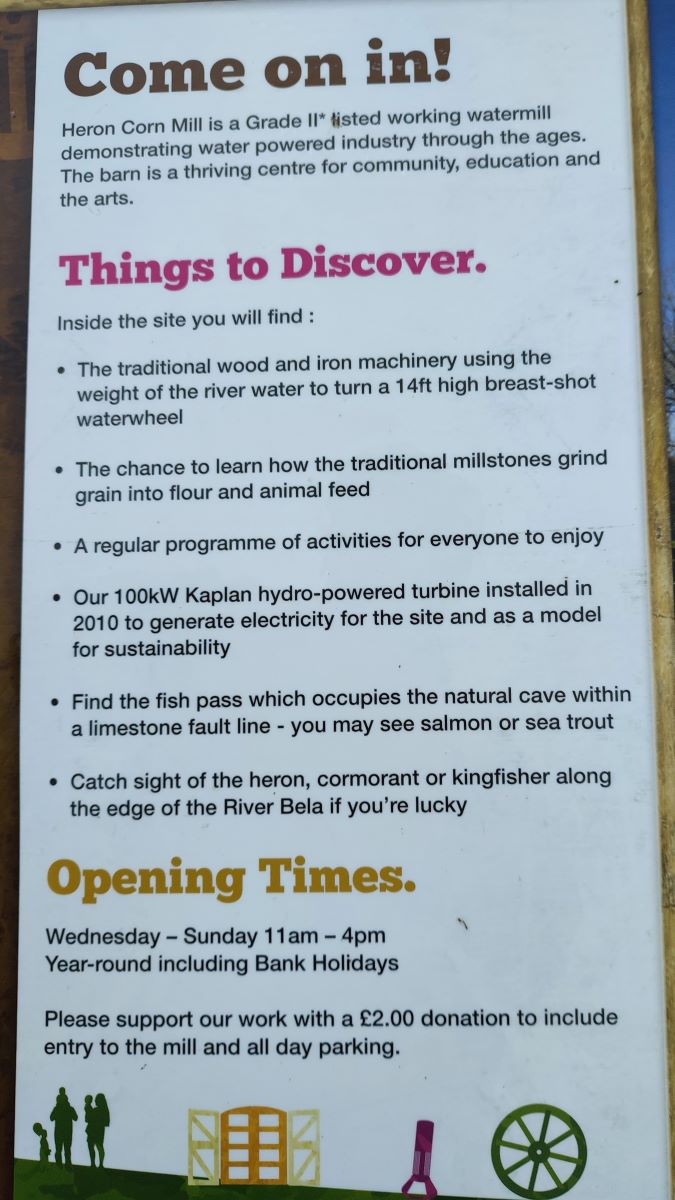
The Mill was not visited as part of our walk but is an interesting site that is well worth taking time to re-visit. The working 18th-century water mill and its mill race are both grade II* listed and in 2013 the charity managing them was awarded a £939,000 grant from the Heritage Lottery Fund for major restoration work. The mill is open to visitors, with regular opportunities to see flour being milled, and breadmaking and many other craft activities can be enjoyed. The barn is used as a hub for community and educational activities and there is also a Kaplan turbine generating hydroelectricity, some of which is sold to the paper mill just across the river Bela. Find out more at the Mill’s website: http://www.heronmill.org
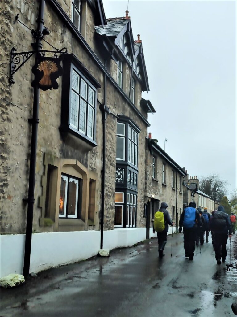
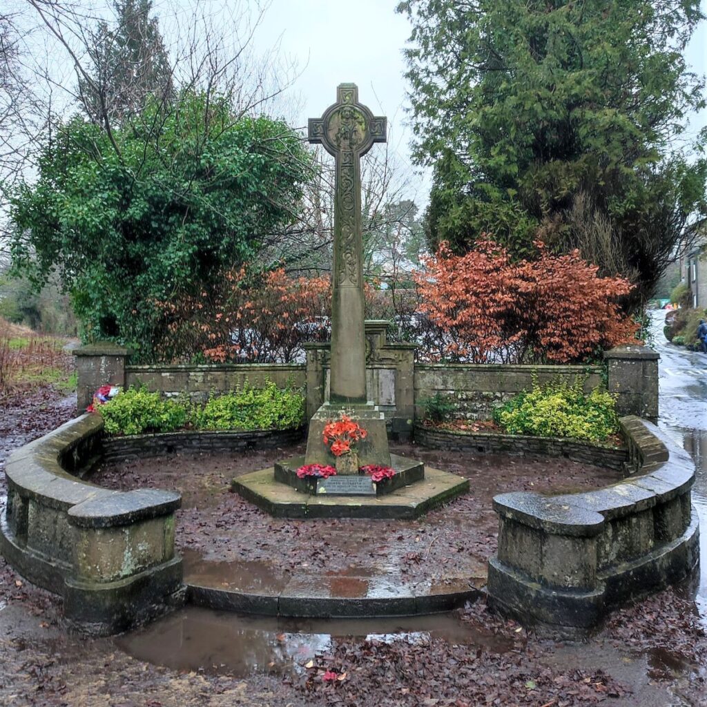
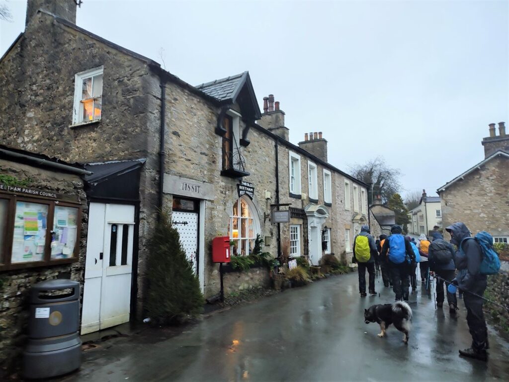
From the car park, we head back down Mill Lane toward the A6, and when we arrive at Leighton Beck Lane, turn right and walk up the lane, past the war memorial and into the village where we find lovely grey limestone cottages and cobbled forecourts typical of South Cumbria. Beetham lies within the Silverdale and Arnside designated area of outstanding natural beauty, and is only fifteen minutes from the Lake District, so this is great location to start a wide variety of walks.

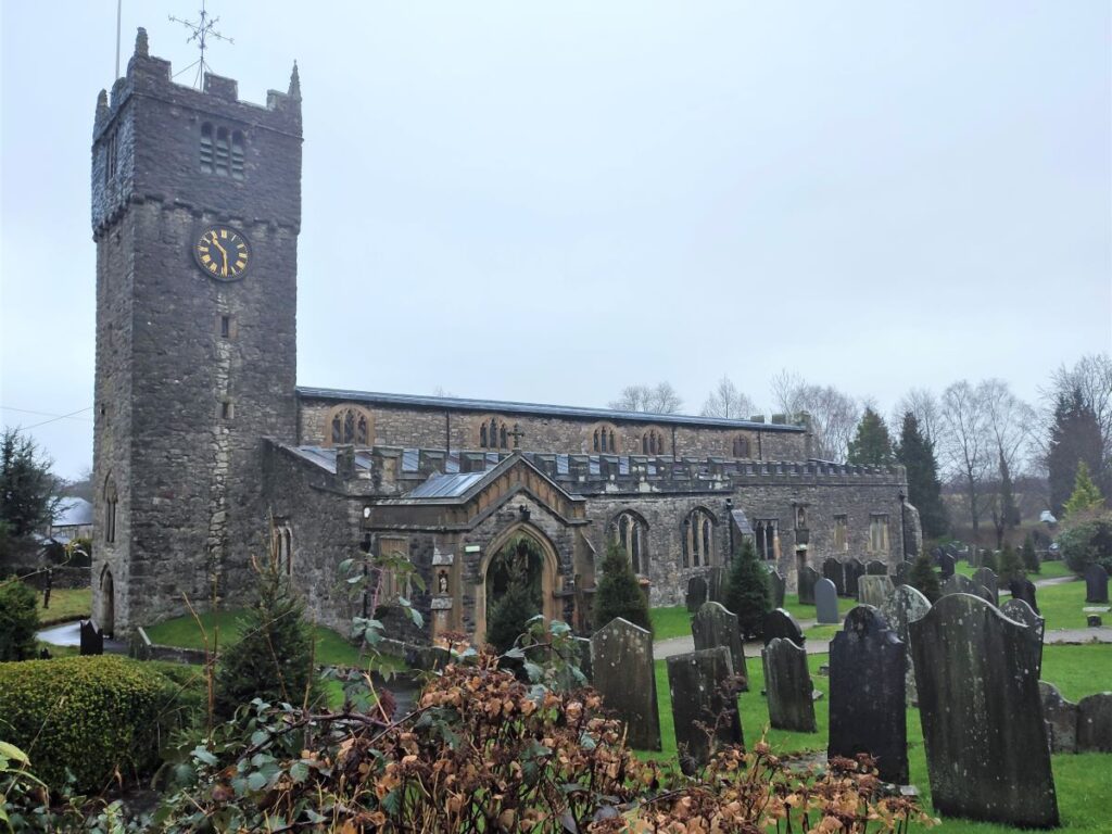
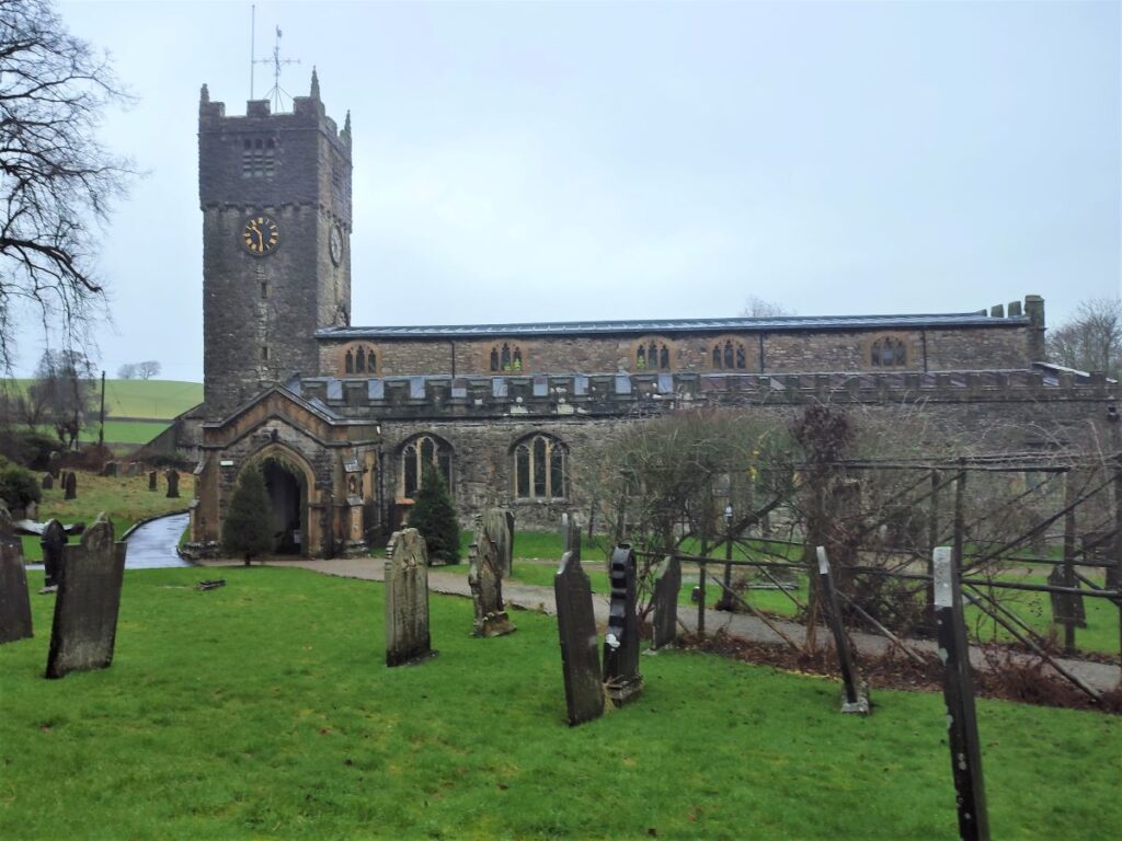
Once in the village, we turn right onto Church Street, just before the Wheatsheaf pub. The church is St Michael and All Angels, and it is believed to have been built in the 12th century, with the South aisle added some time soon after.
The Chancel was extended to East in the 13th Century. A chapel was then added in the 14th century. The North aisle was built, and the South aisle widened during the 15th century, and the top stage of the church Tower added during the 16th century, so this interesting building shows architectural styles from five different centuries.
St Michaels once served the parish of Arnside, and every Sunday the parishioners would be expected to walk across the marshes and climb the narrow “Fairy Steps” which we see later in the walk, in order to worship at Beetham. These steps also had to be navigated when funerals were being conducted, with the coffins being hoisted over the limestone cliffs using metal rings embedded in the rock.
There are a number of similar routes in Cumbria and Lakeland where coffins were carried to distant churches for burial in consecrated ground – they are often referred to as corpse roads or coffin roads. Other BFG walks feature corpse roads.
In 1866, the church at Arnside was consecrated, and the parishioners of Arnside could worship more locally.
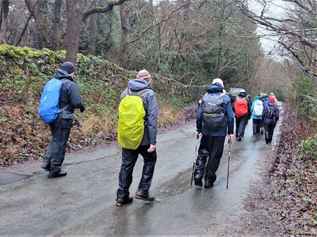
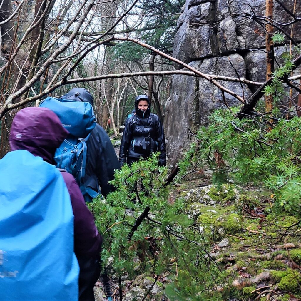
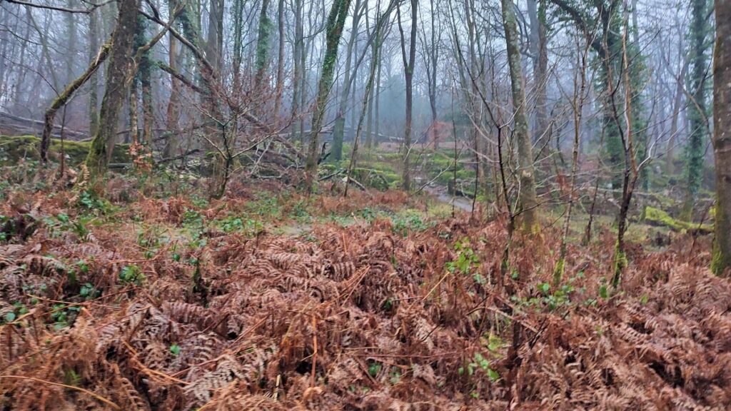
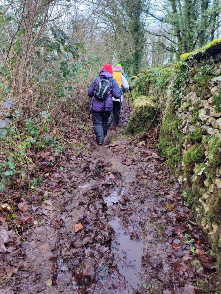
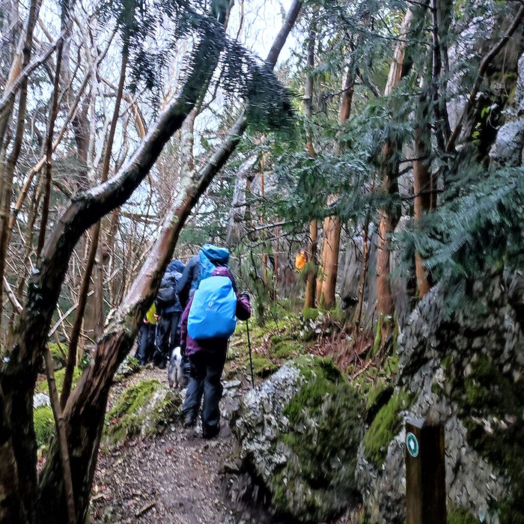
We continue down Church Lane looking for a Public Footpath finger post on the left just after the last house in the village. This takes us across a field and then uphill to enter the woodland that covers Beetham Fell.
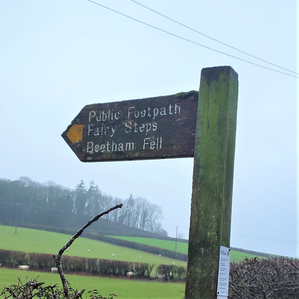
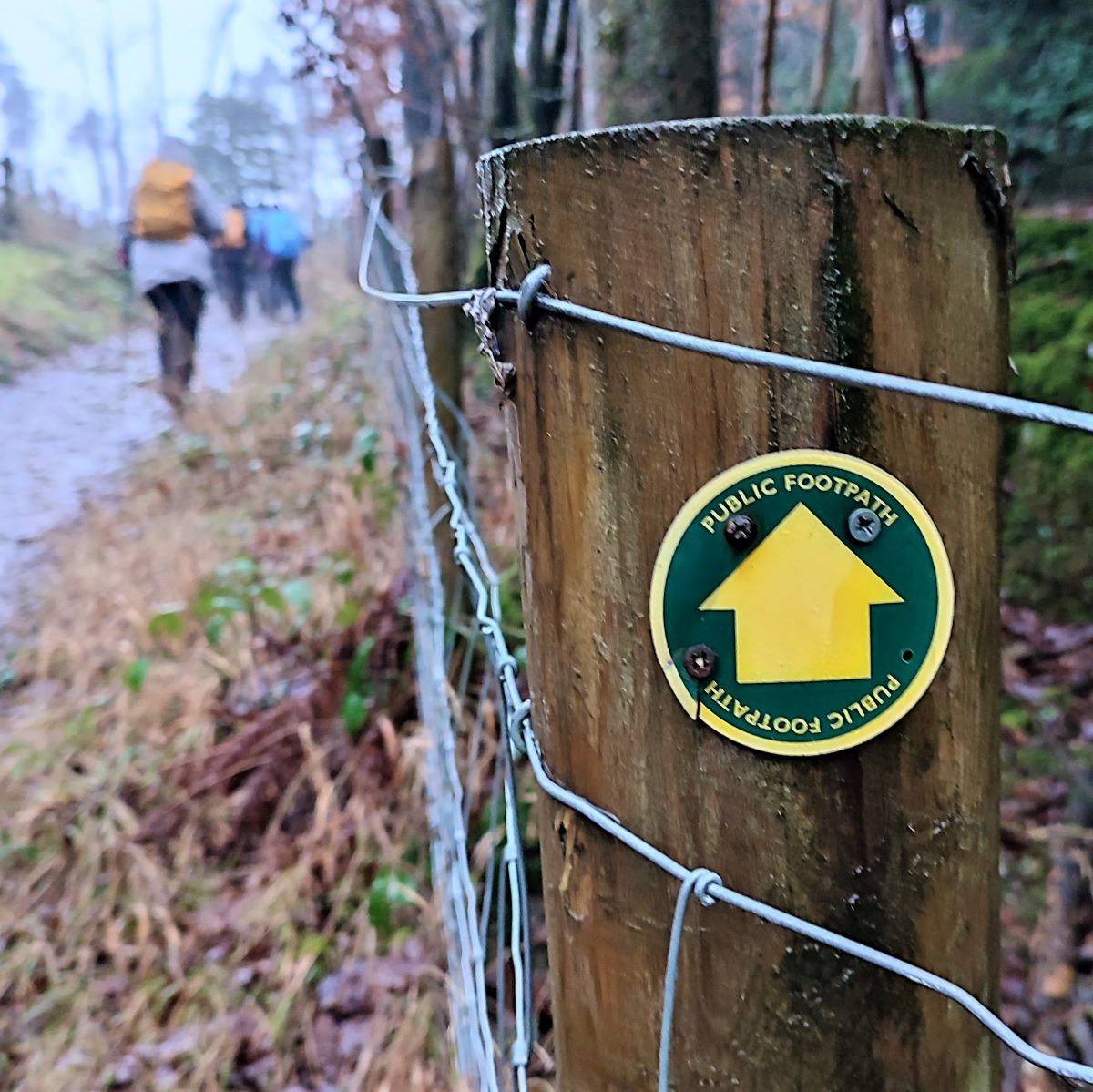
Within the woodland there are a bewildering number of paths to choose from, and it would be easy to diverge from the published route. So, the guidelines are . . . Follow the GPX route if possible, and if not stick to the yellow waymarked route which visits the Fairy Steps. The directions which follow should also help:
We enter the woodland and follow the path round to the right. This rises, and approaches a derelict building, which we pass with the ruins on our left, before our path veers left and crosses a broad track. We ignore that track and carry on – our direction should be South-bound at this point. Almost immediately our path meets another at a T-junction, where we head right, and uphill.
A path merges from the right – we ignore this and press on along a clear path heading southwest for a while until we arrive at a wider track – used by forestry vehicles. From here we continue in the same direction as before, heading consistently southwest and climbing toward the plateau at the top of Beetham Fell, where we find the Fairy Steps.
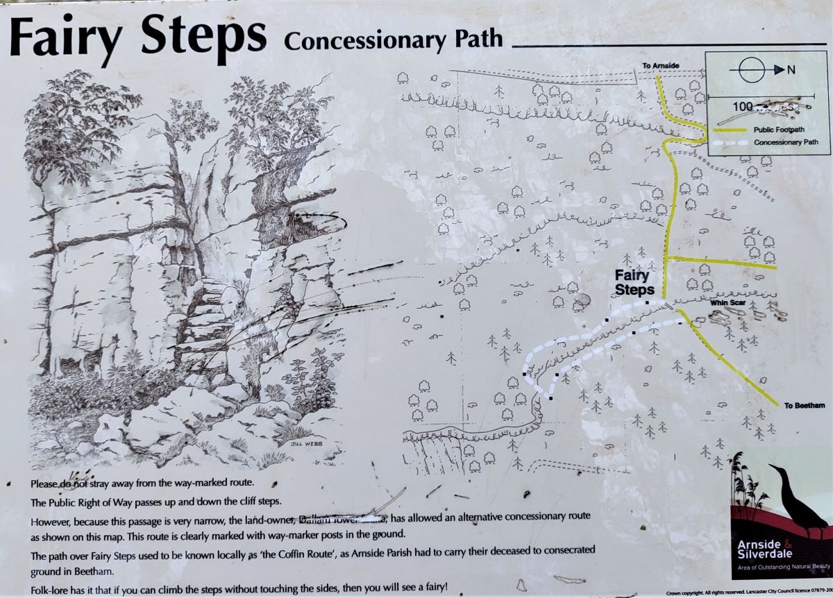
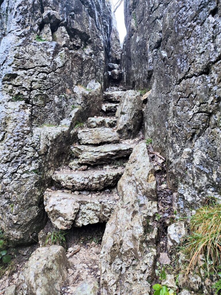
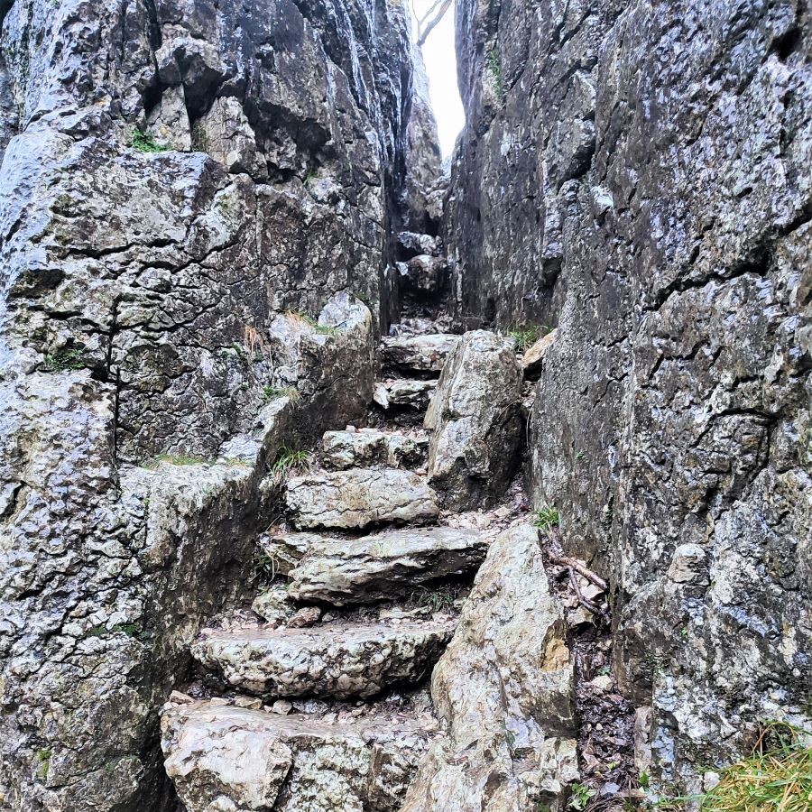
Legend has it that the name Fairy Steps derives from a promise that if you climb or descend the steps without touching the limestone sides of the narrow gully, the fairies will grant your wish.
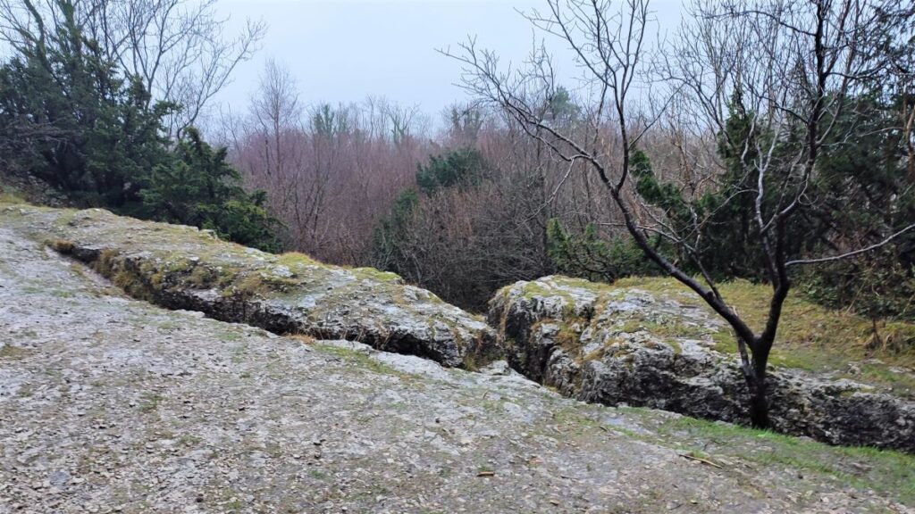
The steps are in fact a natural feature within a broad limestone scar called Whin Scar – this starts at the southern end of Beetham Fell and extends a good way north – we follow the base of it for a while after clambering down the fairy steps. Note that the steps are very narrow, and when wet can be slippery – so an alternate permissive path has been provided to bring you safely down to the base of the steps. The GPX shows this safer route.
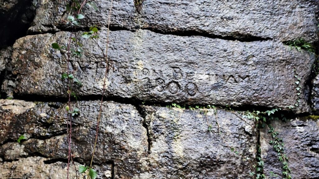
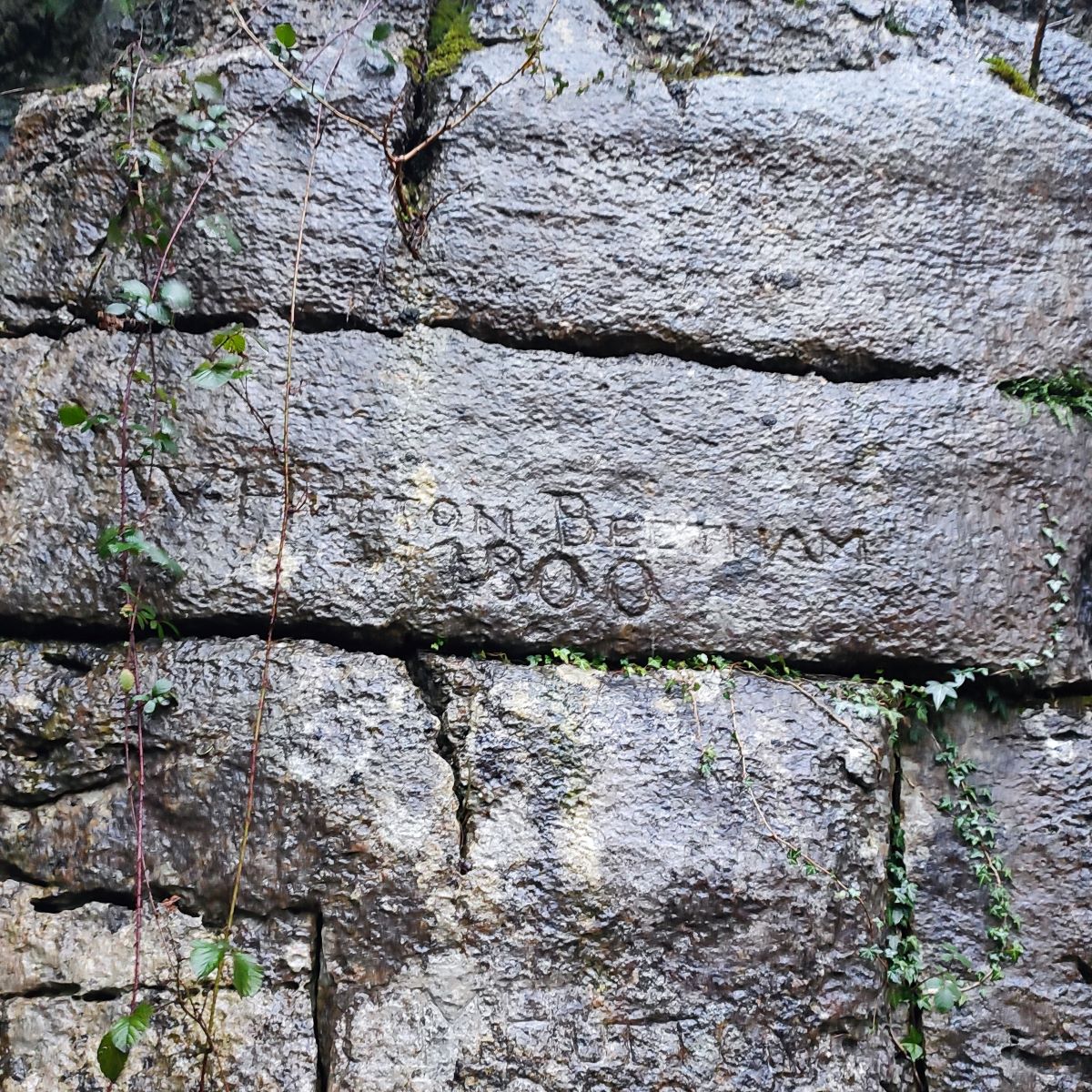
Whichever way you take, it’s worth pausing at the base of the steps to survey the carved inscriptions – vandalism seems like the wrong word for something requiring such skilful stone working.
The largest, most obvious inscription reads: ‘W Hutton Beetham 1800’. Below it, in order of decreasing legibility, may be another Hutton from 1900 and possibly a third Hutton from 1925. Clearly these cannot be the same person, so it looks like a case of honouring a family tradition. Interestingly, the graveyard at St Michaels lists contains the graves of a good number of Huttons, including the family of the vicar, so we may speculate that the impressive carving reflects the status of the individuals who commissioned it – even if the reason remains obscure.
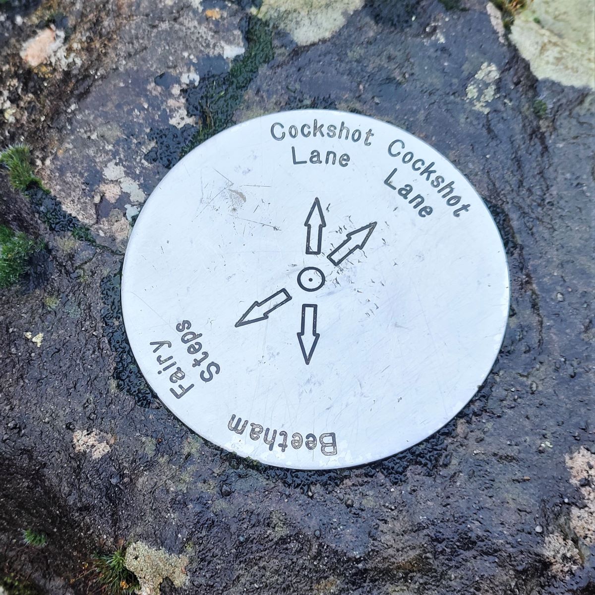
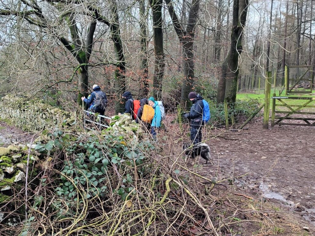
We now carry on along the base of the scar, heading north for a while until we come across a way marker post with an unusual stainless steel top indicating two routes to Cockshot Lane. We take the one on the right (although they come together again, so either is acceptable).
The path now heads down to a drystone wall where we turn sharp left and follow the wall along limestone pavement until we arrive at a minor road.
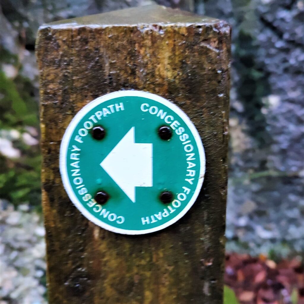
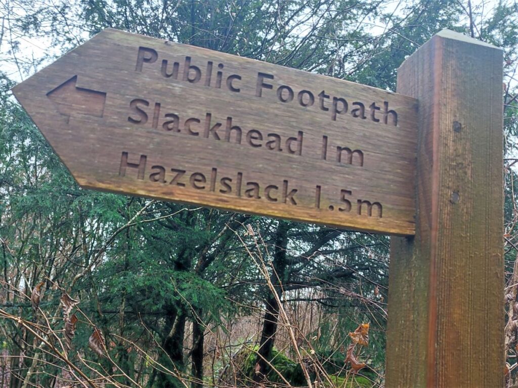
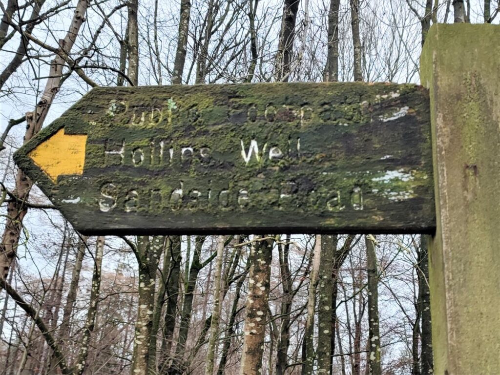
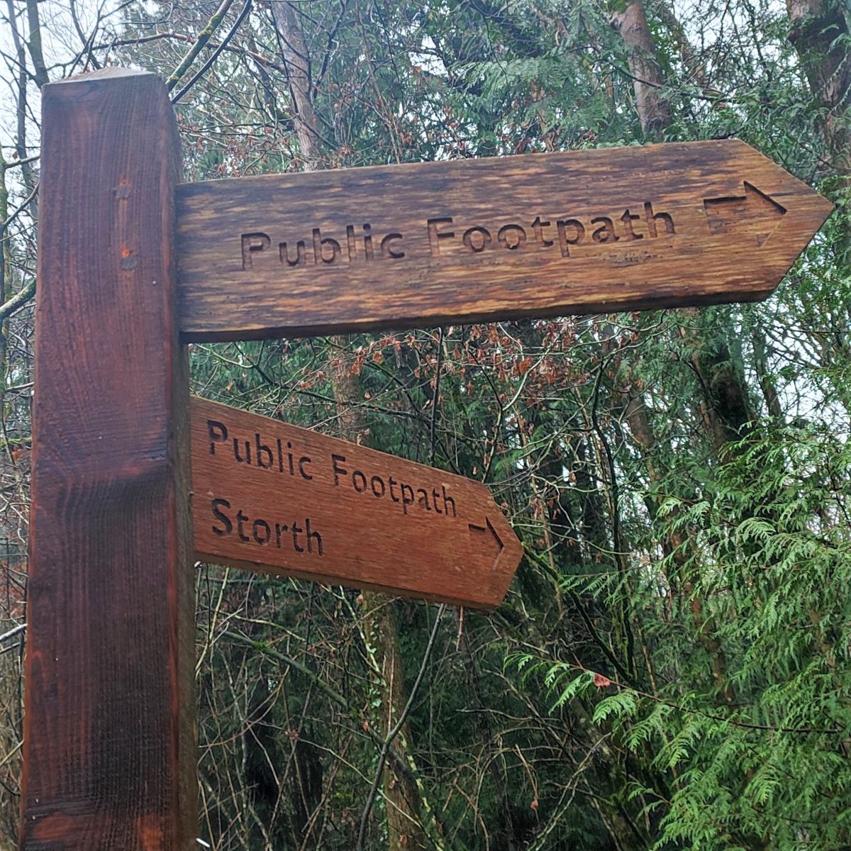
We turn right at the road and follow it for a very short distance until we see a way marker post on the left offering two routes. One is signed “Storth” – we ignore this and take the second simply signed as “Public Footpath”.
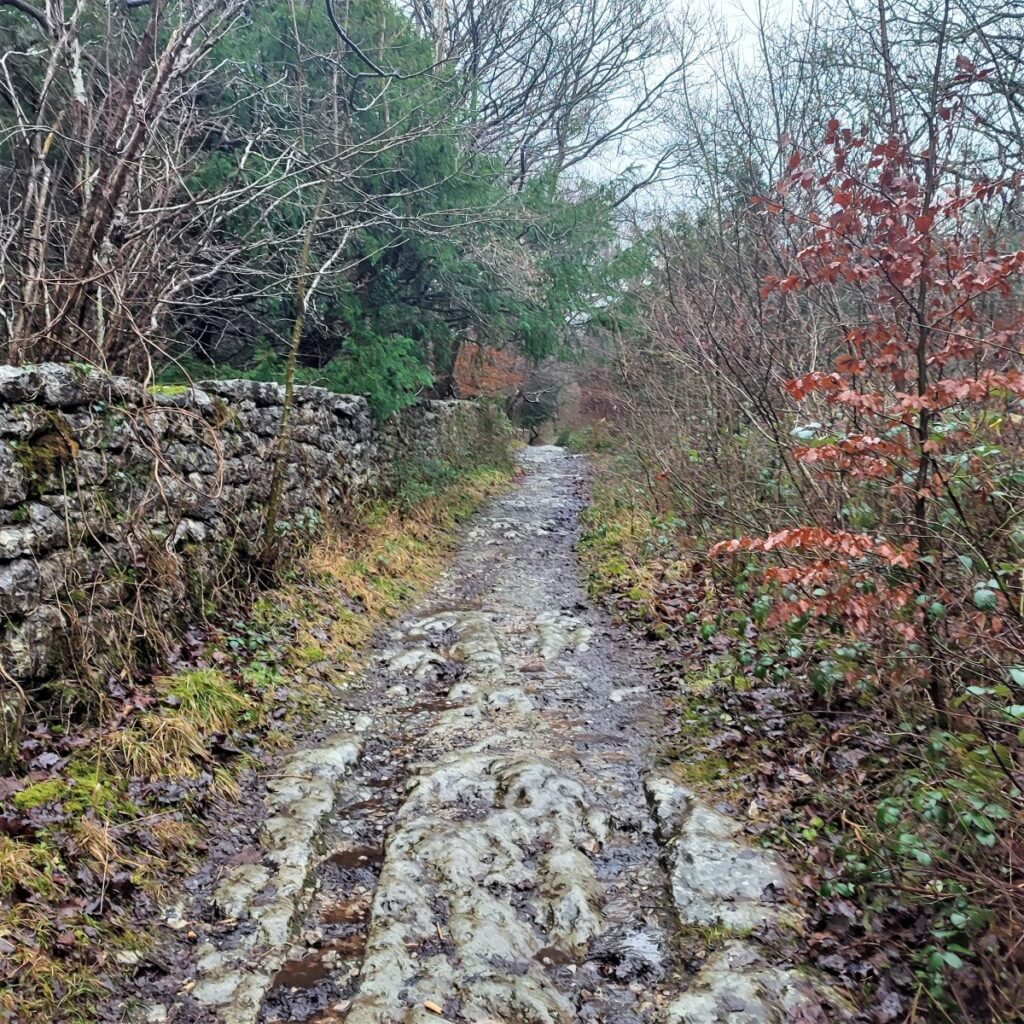
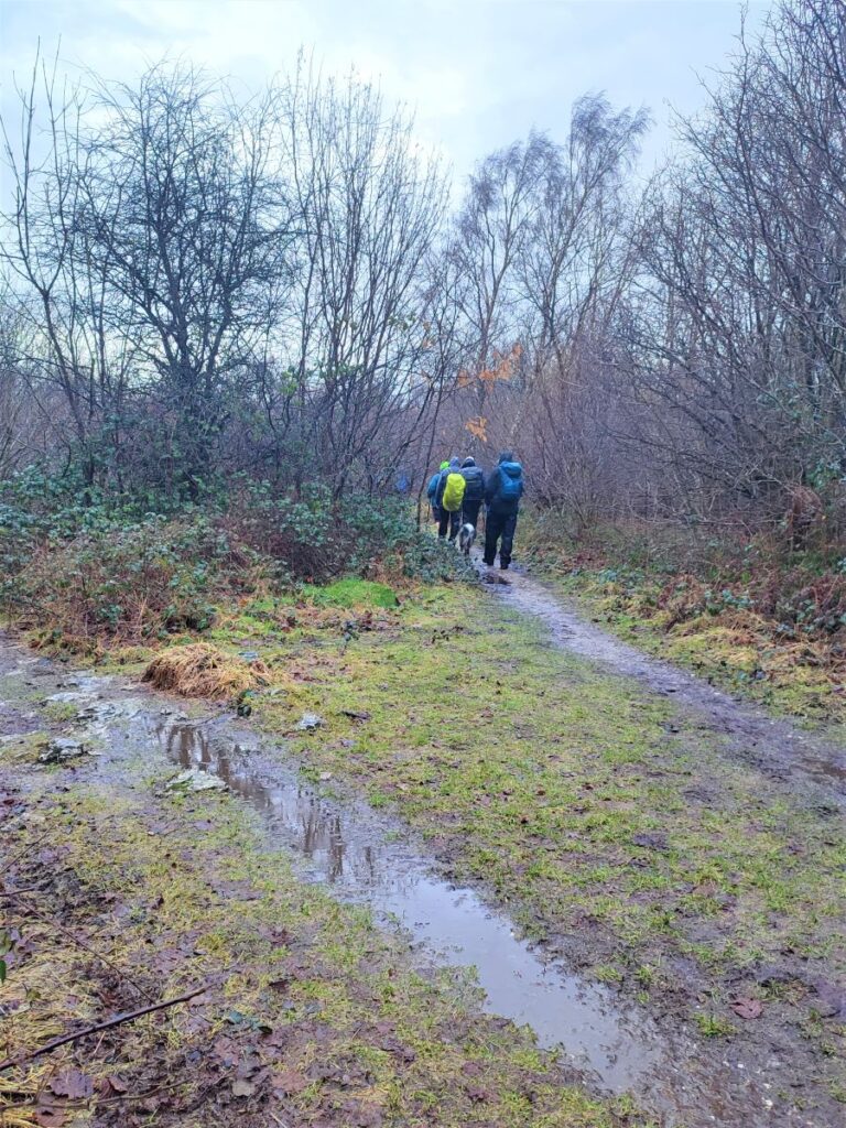
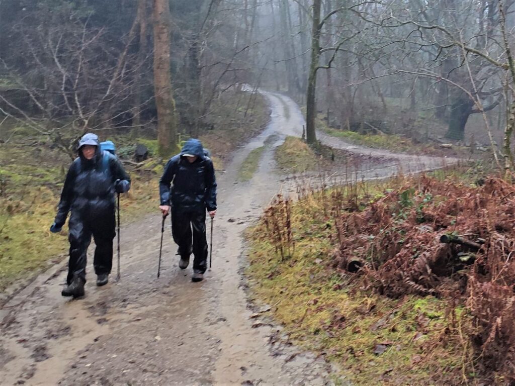
Our path now heads North through woodland – the path remains clear but, as before, there are many tracks – formal or otherwise that could lead us astray, so keep the GPX handy if possible.
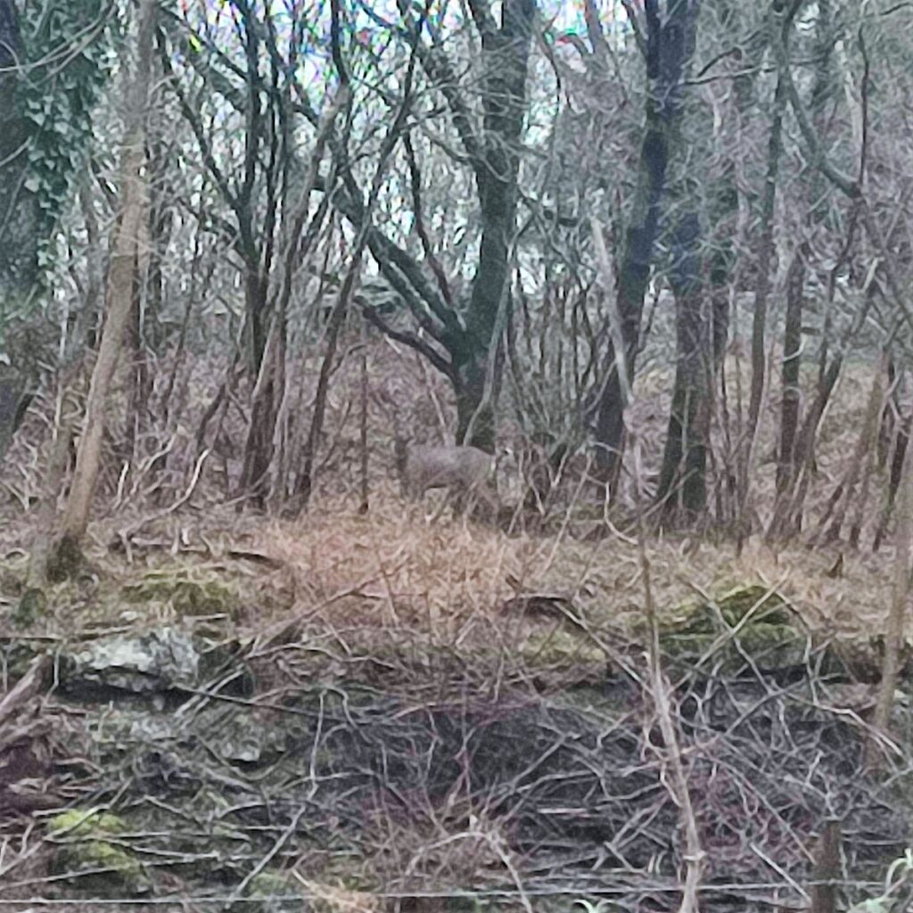
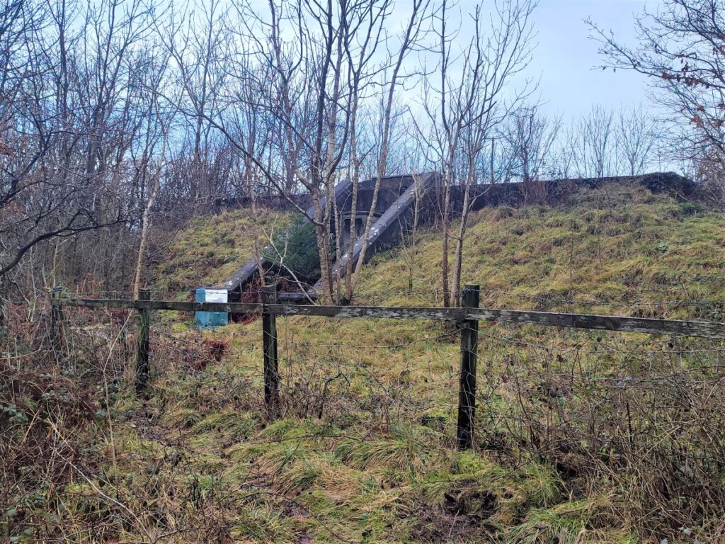
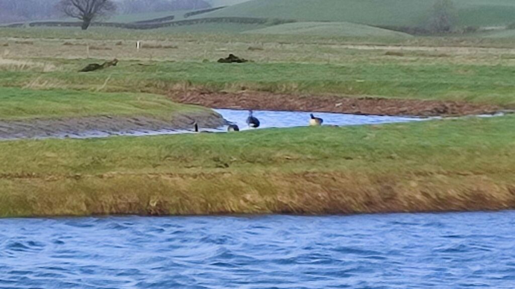
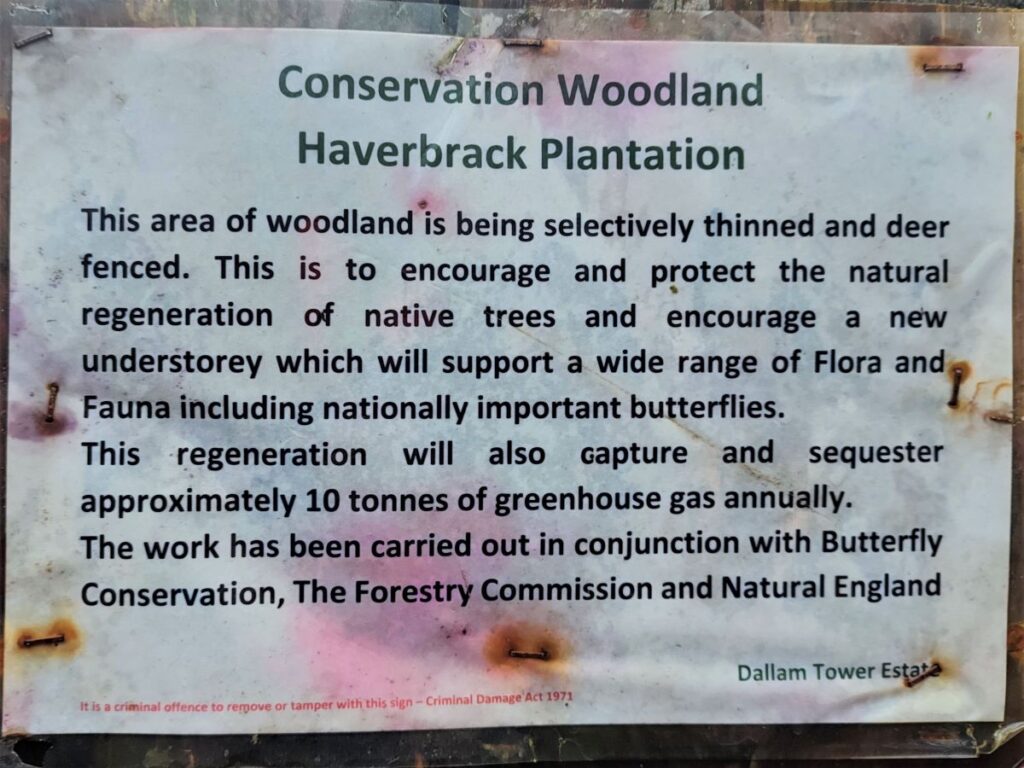
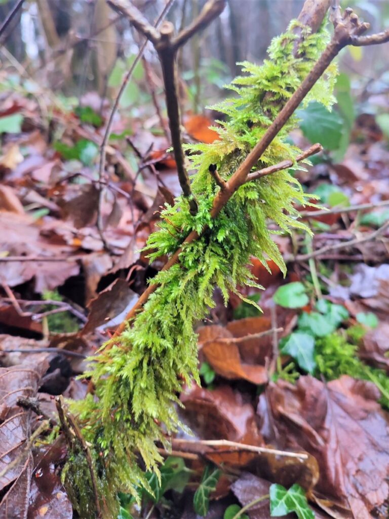
The path veers round to the right, and then back to the left – all clearly signed. We then head uphill, heading north through Haverbrack woods, where wild deer may well be seen. Click here to see a video of the ones we saw. Over to our left, and at times no more than 100m away is an enormous quarry. It is not visible from the path, but a glance at the fly through shows it clearly.
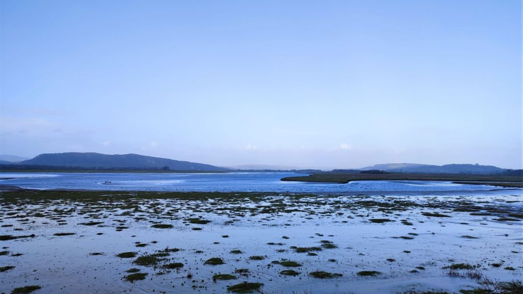
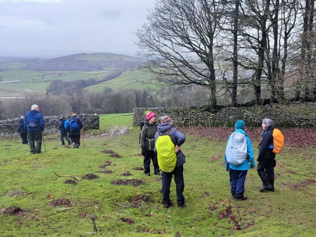
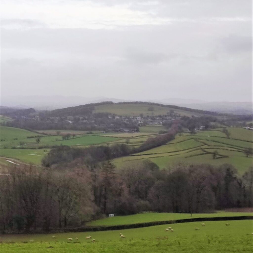
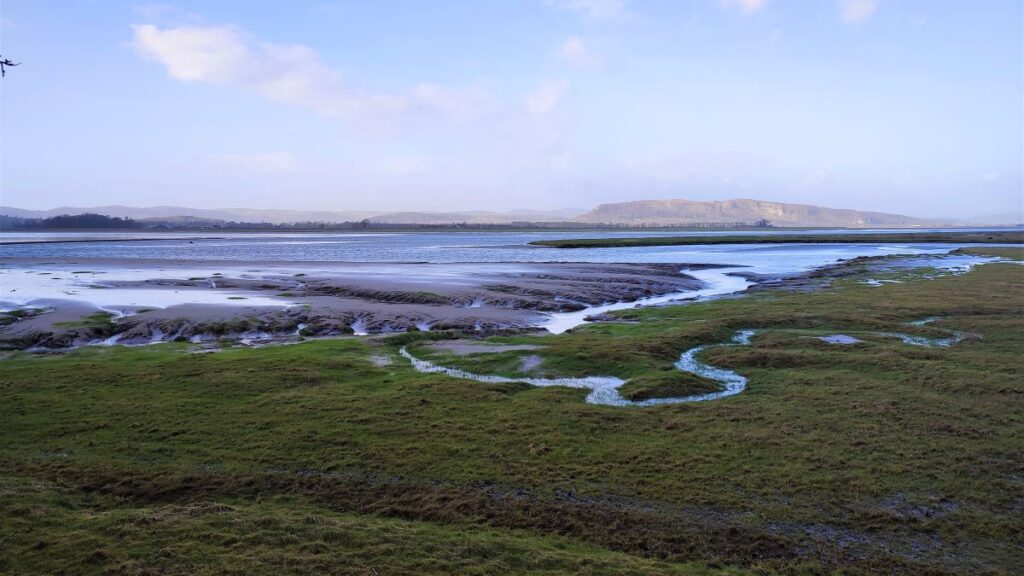
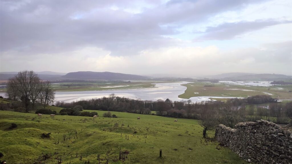
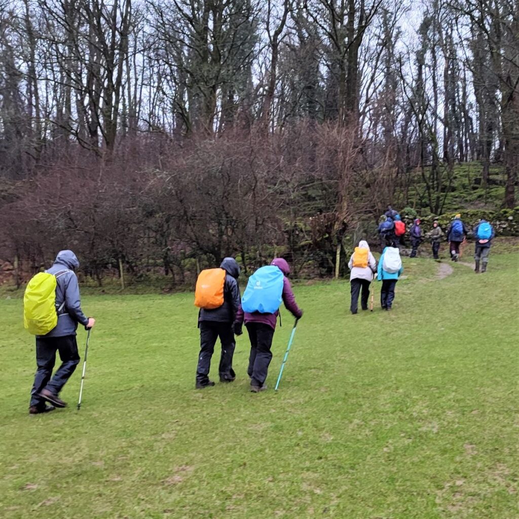
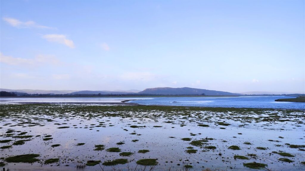
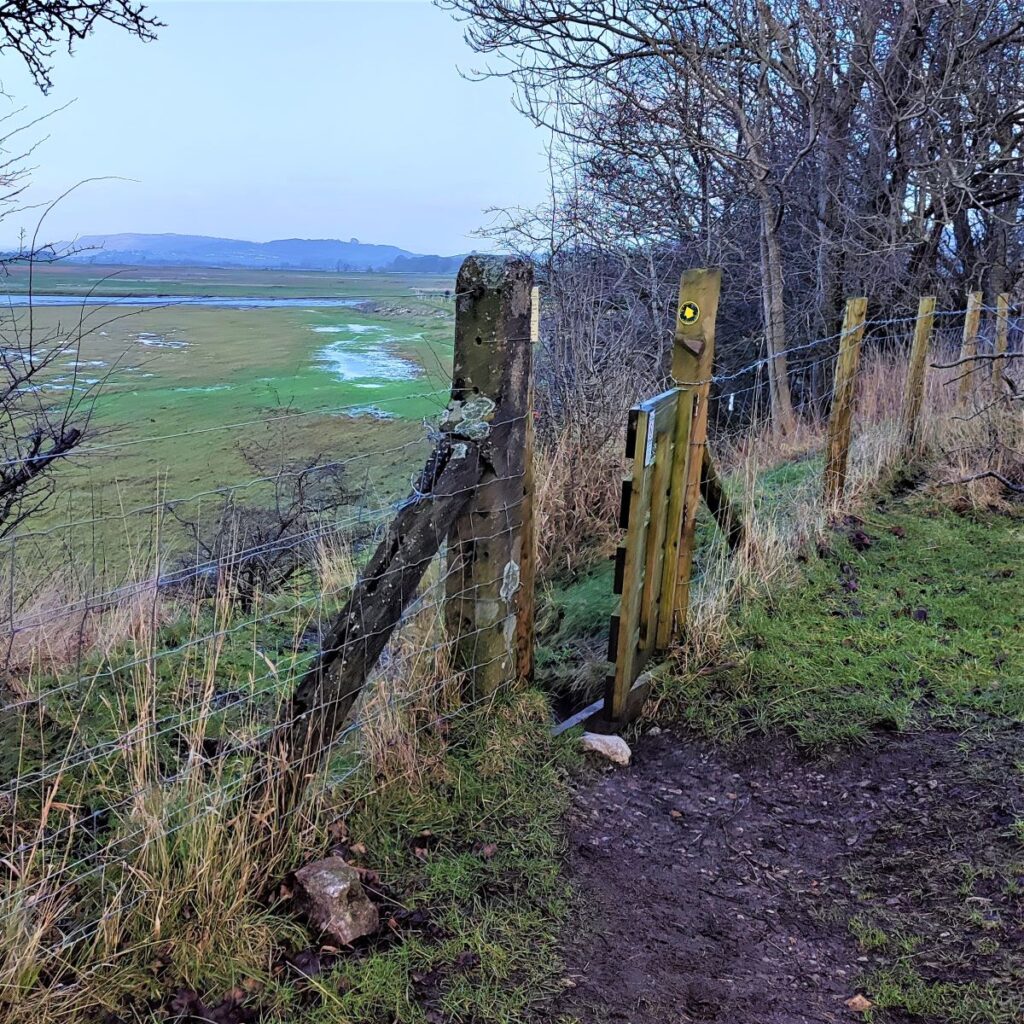
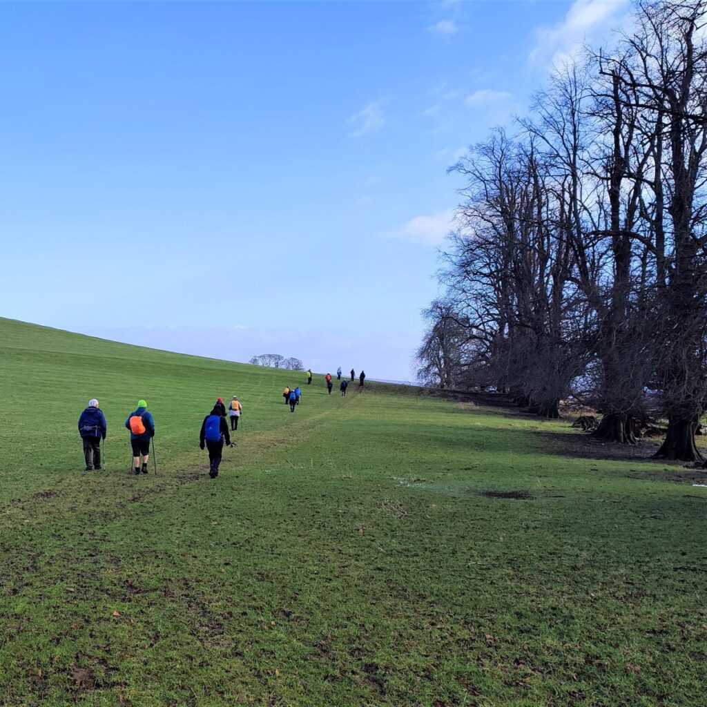
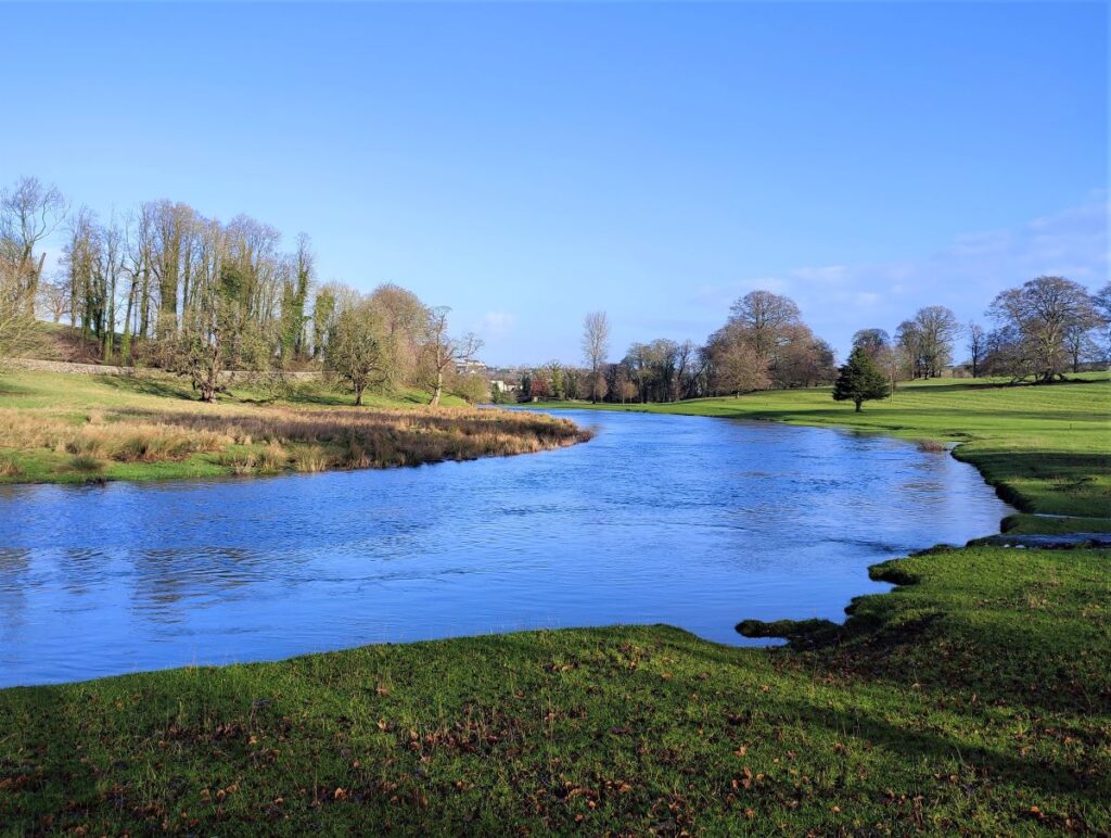
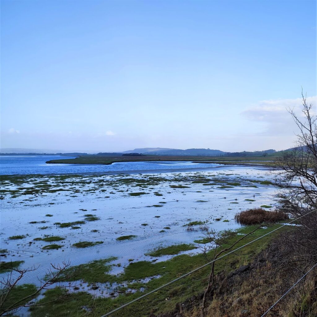
The path eventually arrives at a curious building – a water storage tank built in 1926, and we skirt round it to the right where the path catches us out by leaving the woodland behind and opening up a fantastic view across the Kent estuary toward Levens and the Lakeland fells. We can also see Milnthorpe over to our right and Heversham Head – where BFG have also walked.
The views are great here and the climbing is now done, so this is perhaps a good place to take a break.
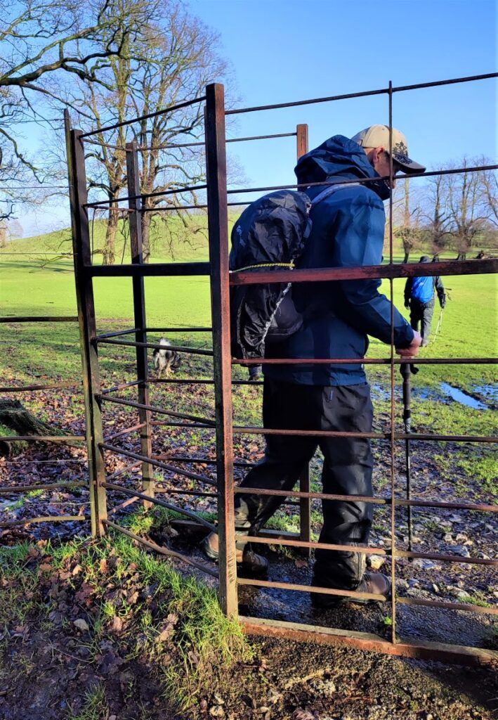
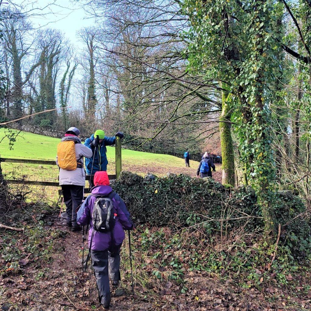
Fully refreshed, we head down the hill hugging the drystone wall to find a stile and gate at the bottom of the hill where we access a minor road.
We cross the road, and our path continues on the other side along a clear path right at the edge of the woodland which soon heads left and then down hill to a drystone wall where we head sharp left following the wall along a path that can be somewhat muddy.
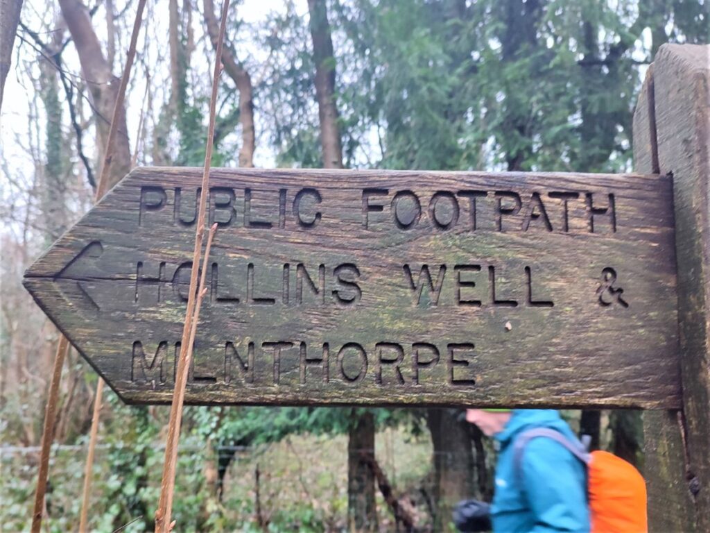
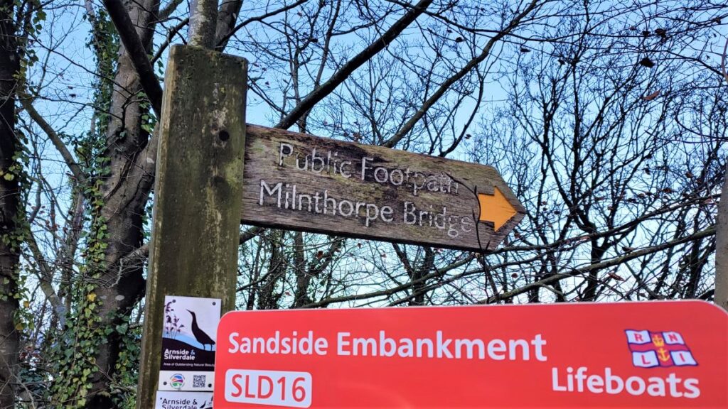
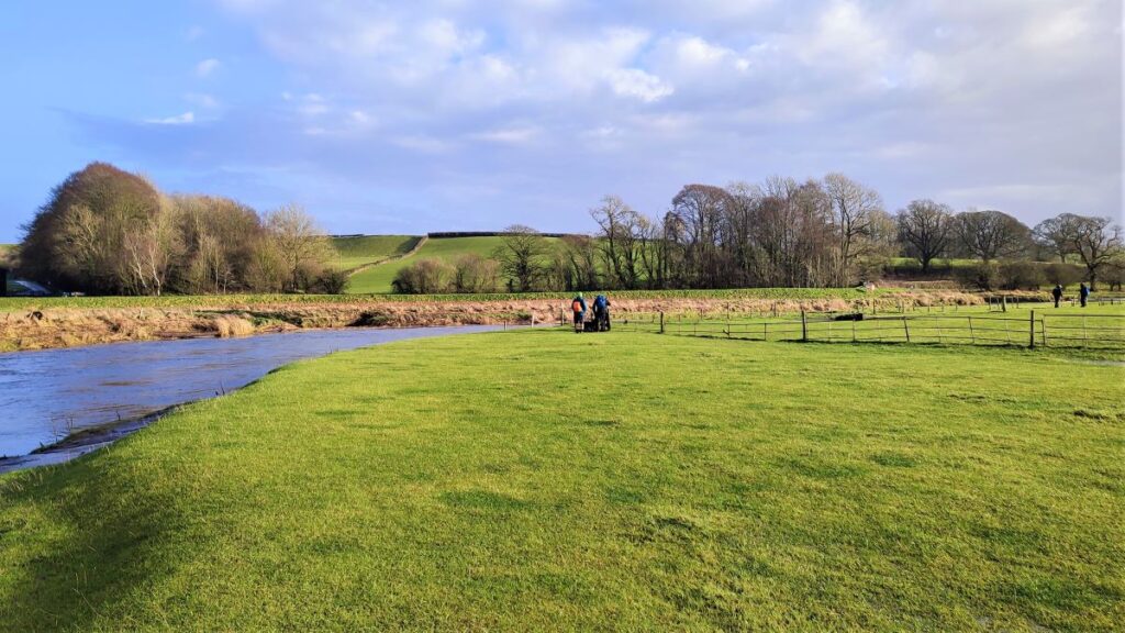
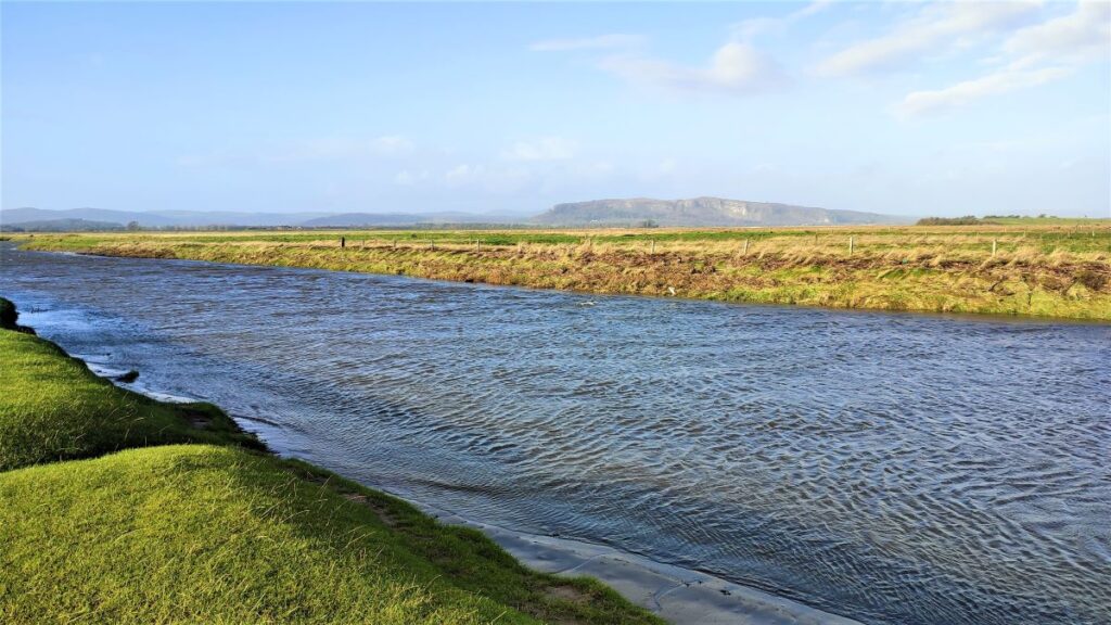
We cross a couple of stiles at a farm access lane and continue with the path until we arrive at the B5282 which runs along the edge of Milnthorpe Sands. Here we cross the road and take the signposted path along what was once a railway line, heading toward Heversham. We soon find a gate on our left where the path leaves the track bed and heads down to the side of the estuary, and we continue North-east not far from the water’s edge, until progress is blocked by the muddy banks of the River Bela.
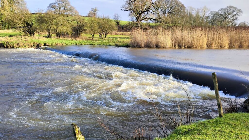
We deal with this by turning right and following the Bela round, past a weir and up to a fine stone bridge.
At this point, we meet the B5282 again, and we cross directly over and take the lane up toward Dallam Tower – we are still following the banks of the Bela at this point.
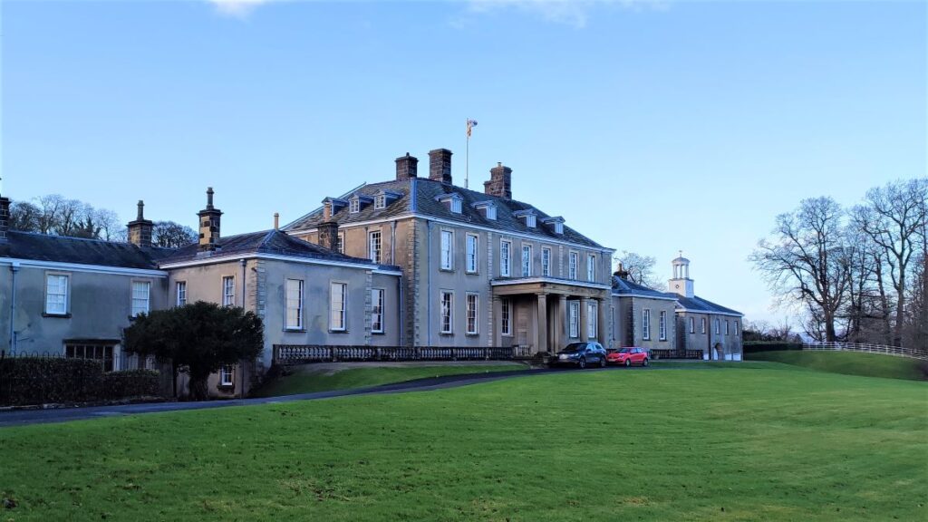
Dallam Tower is not, despite the name, a tower as such.
It is thought that the name is a carry over from an earlier time: A pele tower was built on the site in about 1375, but demolished when the present house was built in 1720–23. A plan dated 1614 indicates that at that time there was a house with formal gardens.
The current Dallam Tower is a grade I listed country house and is a member of the Historic Houses Association. It is not however open to the public except for occasional charity events, and visits to the garden through the National Garden Scheme. It can also be hired as a wedding venue.The road in front of Dallam tower continues on and we walk with it, leaving the river Bela – although it stays visible for a while.
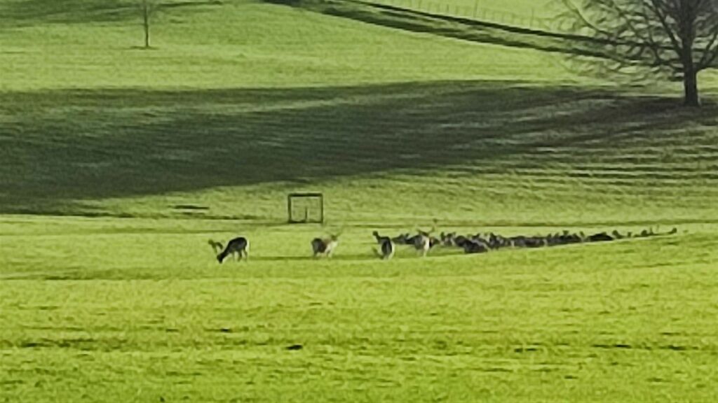
Over to our left is the Deer park – hence the high fence, and an unusually tall kissing gate which we take on the left to enter the park.
We strike out to the East for a while and then veer right to pick up a path which heads south – essentially we are following the line of the Bela back to the start now, even if the river is not always visible.
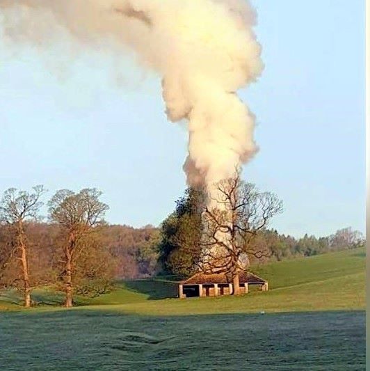
We climb for a while and notice what at first appears to be nothing more than a derelict barn over to our left. This was in fact the “buck house” a shelter for the deer herd, which was destroyed by a fire in April 2021.
We crest the hill and head down a line of trees to a gate which gives access to the Heron Mill car park – and our walk is complete.