The outbound section of this walk uses a lock-free section of the Lancaster Canal whilst the return is along a section of the Lancashire Coastal Way, so we ought not to be surprised that it is a generally flat and easy route. That doesn’t mean it is without interest though; we take a diversion up to Mount Pleasant where we pass a walled vineyard before returning to the canal via Crawstone Wood and Thwaite Brow Woods.
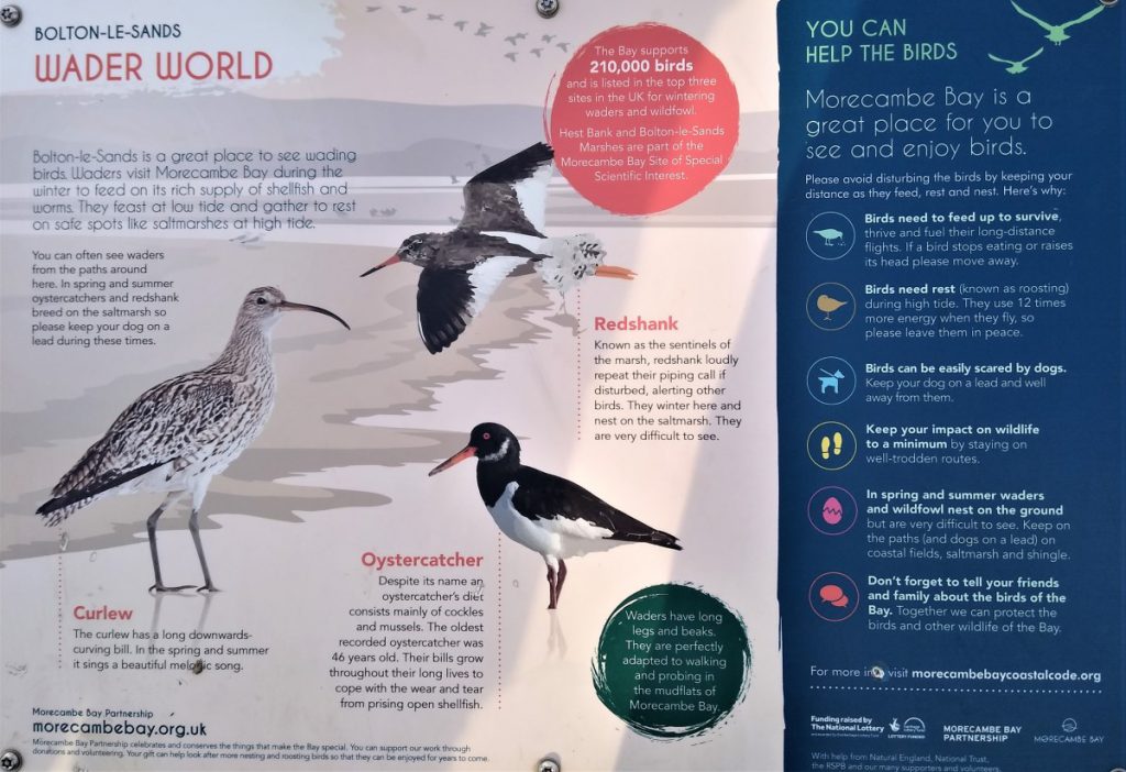
At Hest Bank we cross the West Coast Main line, and then enjoy views of Morecambe Bay before returning to our starting point mostly along the costal path, and the nature reserves that it crosses, with a small section through a caravan park.
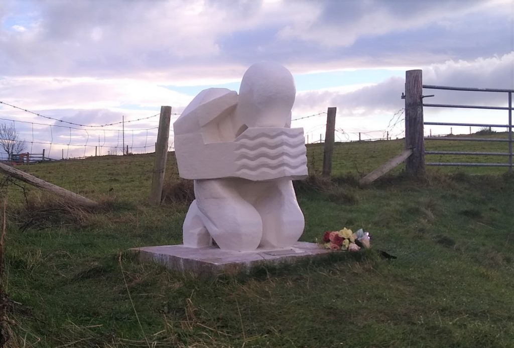
Along the way we see the monument marking the death of 21 Chinese cockle pickers in the treacherous flats of Morecambe Bay in 2004.
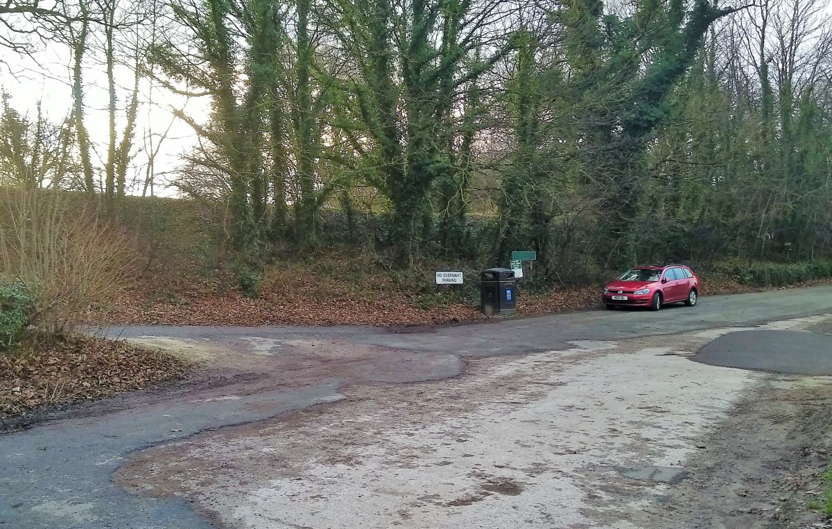
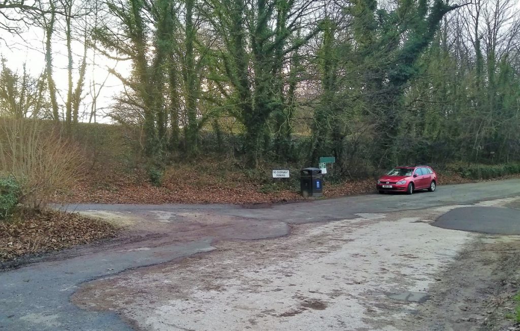
We start from a lay-by just outside Carnforth – ample free parking is usually available. Take the A6 South from the centre of Carnforth, pass the supermarkets and then as we head out into open country, keep an eye open on the left hand side for a large lay-by.
If you pass the Holgate’s Netherbeck holiday park entrance you have gone too far.
Sat Nav users should find LA5 9TN works
After parking, find the track that leads up to the Lancaster Canal – which runs in an embankment here – and make sure that as you reach the tow path you turn left and head back toward Carnforth.
Straight ahead us we see a bridge carrying a farm track over the canal. We ignore this and walk down to the next bridge, where we find a small squeeze stile just before the bride. Take that stile, then cross the bridge, and look for a lane on the right immediately after the bridge, bringing us back on ourselves but now heading slightly away from the canal.
As we follow this lane, we are almost immediately faced with a fork. The right hand path (much less used and so somewhat overgrown) leads back down to the canal, whilst the left hand heads inland and slightly uphill. We take the left hand route and follow the lane up to a house where the track continues through a gate at the right hand side of the buildings.
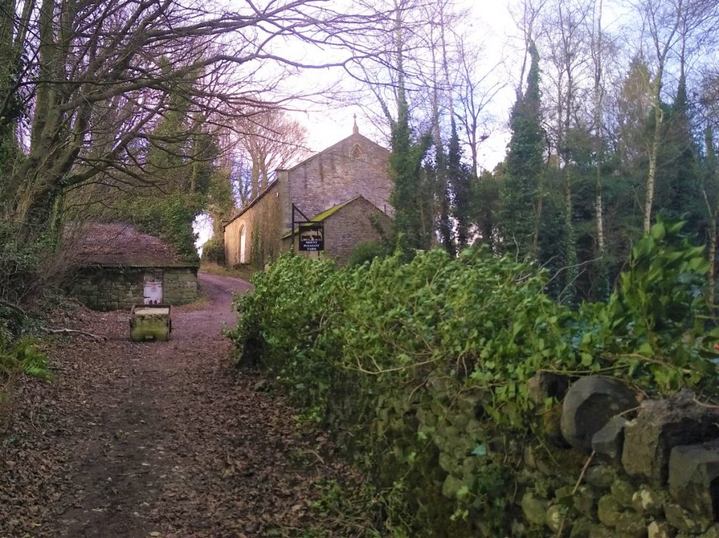
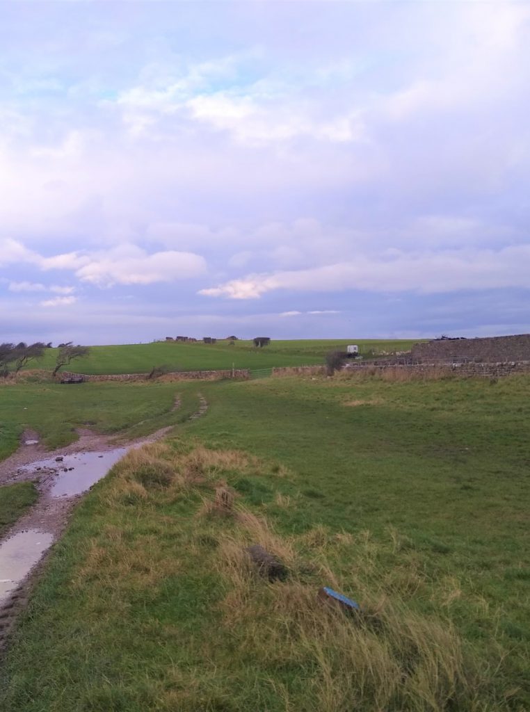
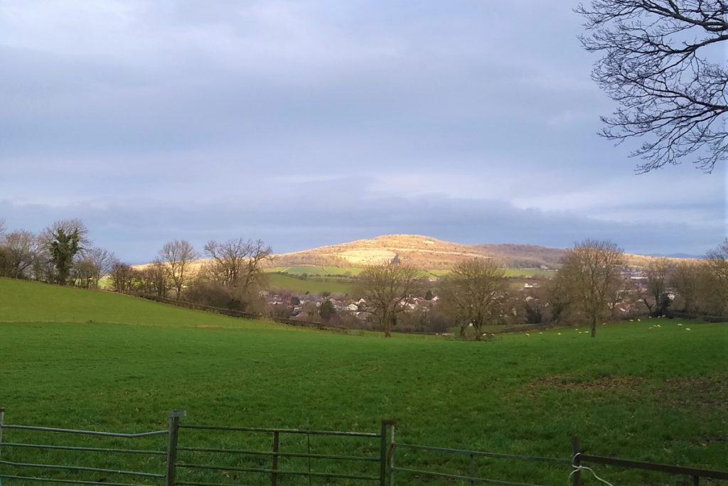
We continue with this lane as it climbs, occasionally offering views over the bay and back toward Warton Crag, to soon arrive at Thwaite House Farm.
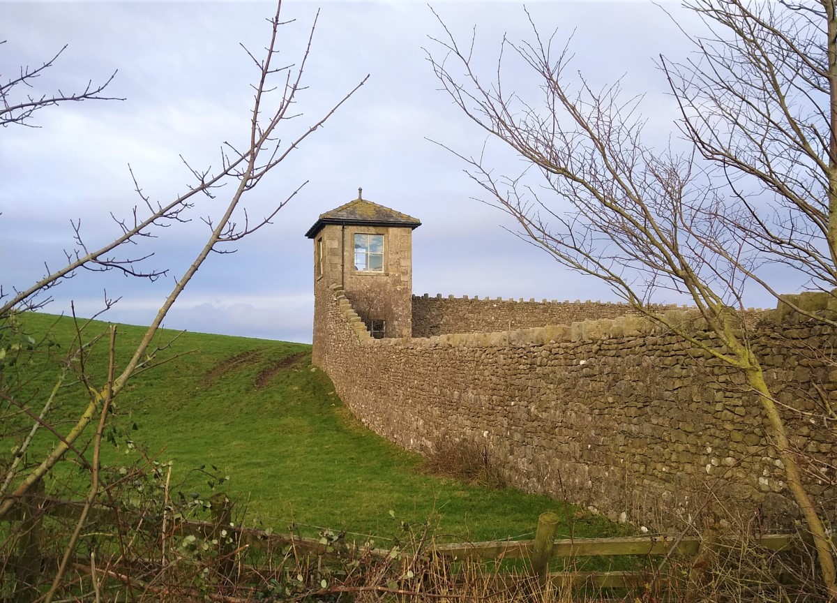
Just beyond the farm, we see a walled enclosure with a turreted building in the south west corner: This is the Vineyard, which at 0.2 hectares might best be described as “hobby sized” and is reputed to produce rather good Madeleine Angevine Grapes – the variety often grown in the Loire Valley.
We continue along the lane until we see another track on our left clearly marked as Highfield Lane. Opposite this is a bridleway heading uphill, and it is this that we take.
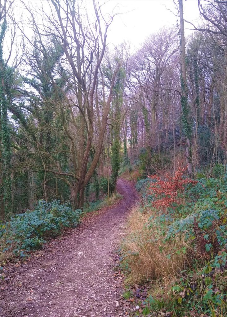
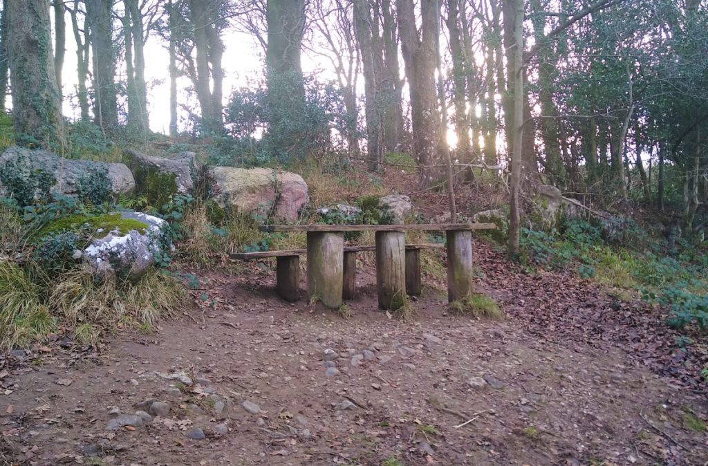
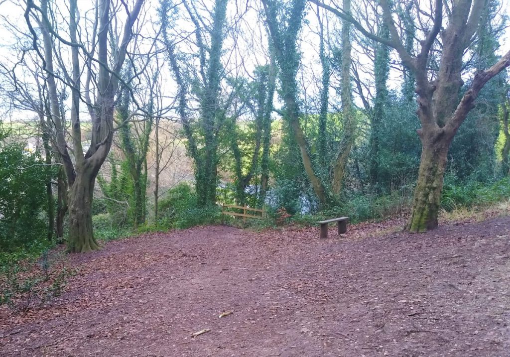
The path here is often muddy and slippery but improves as we crest the ridge into Thwaite Brow Woods, where we find a bench with good views over the bay where we may enjoy a brief rest.
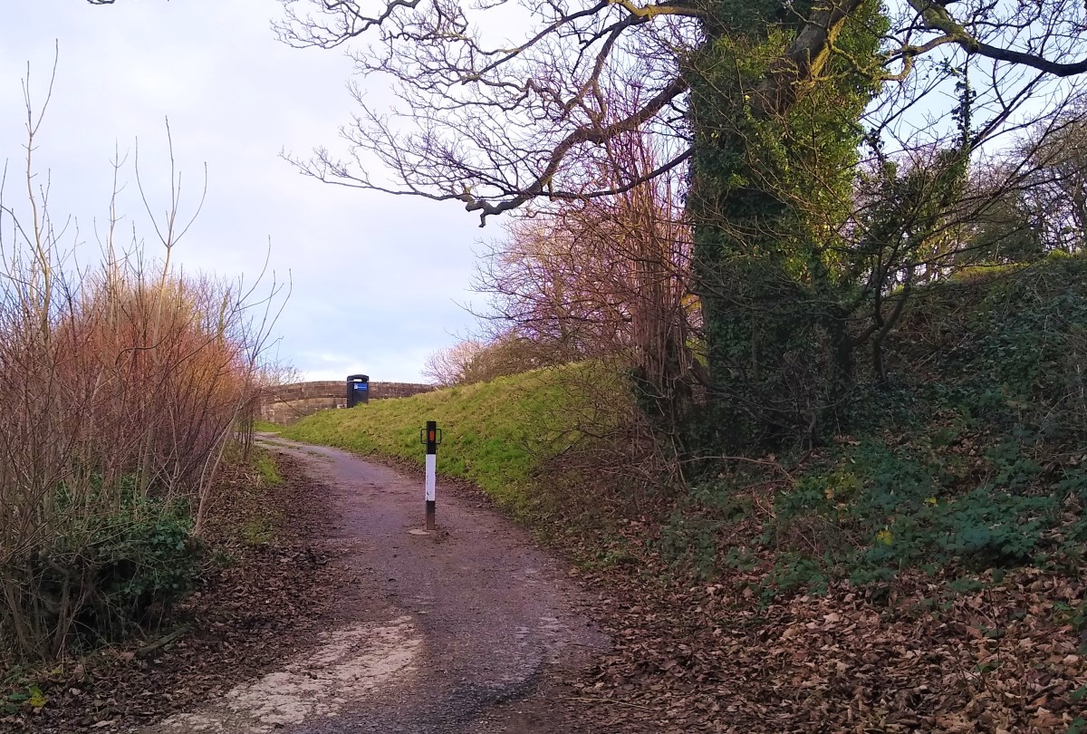
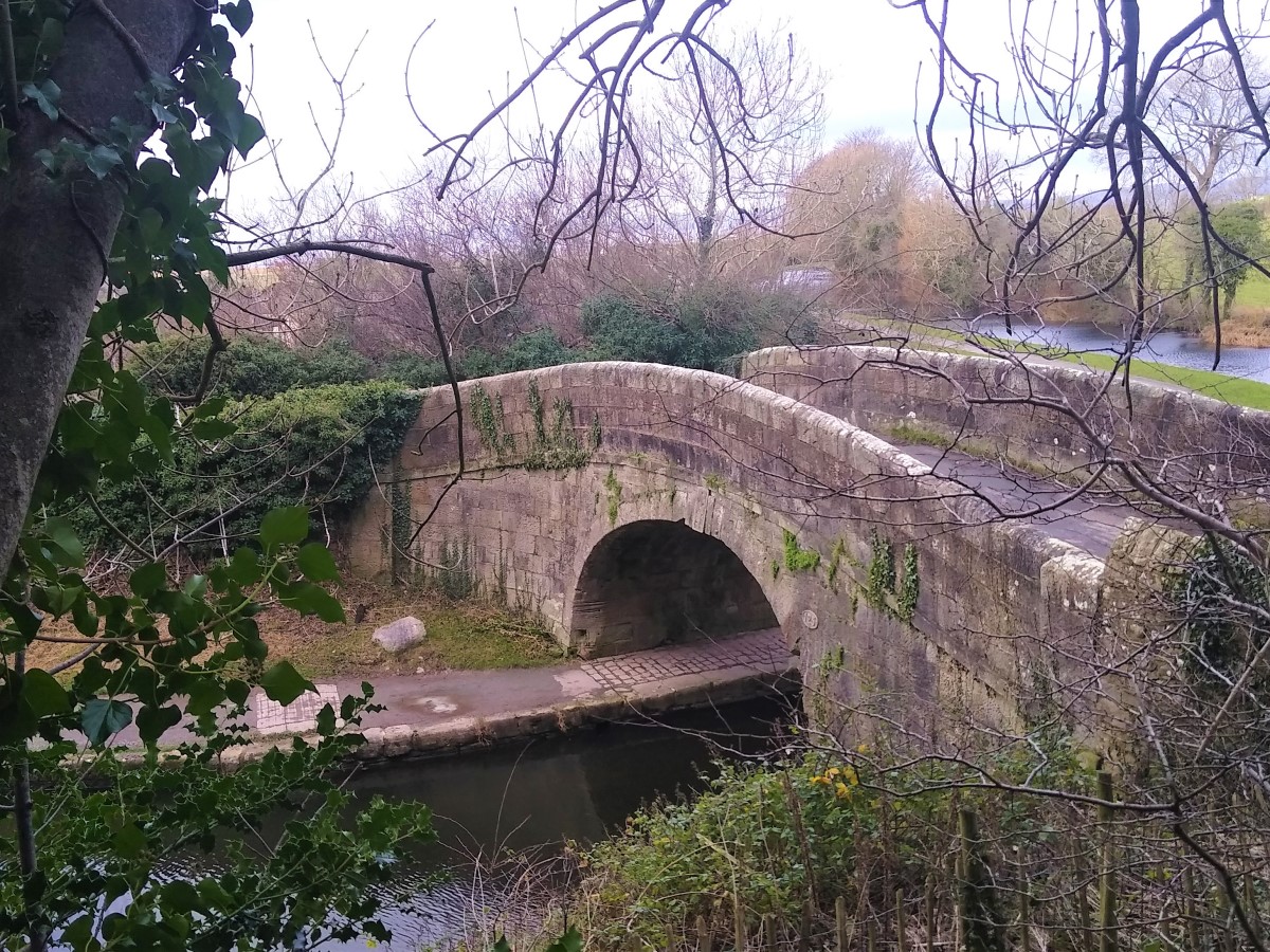
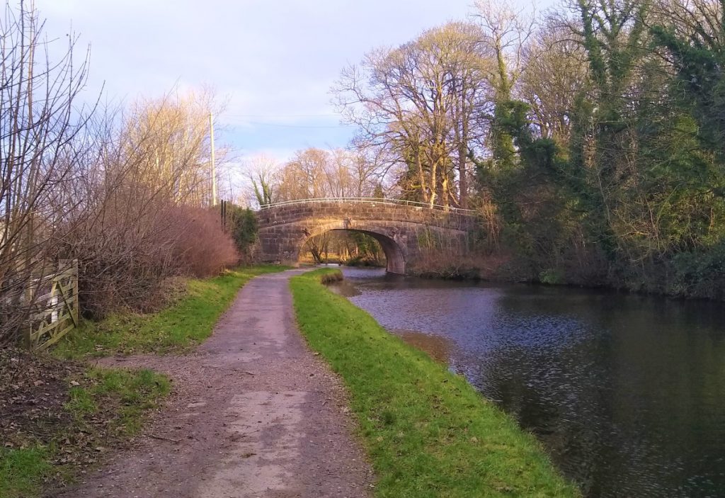
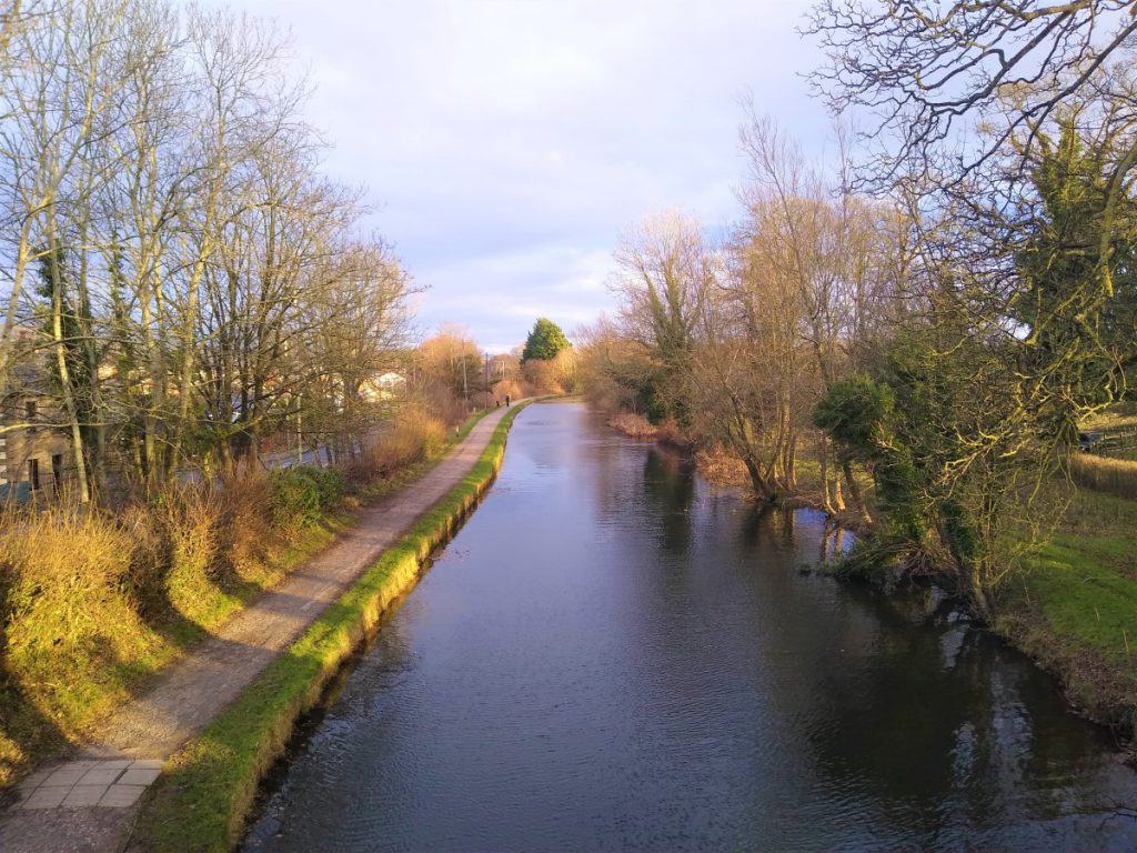
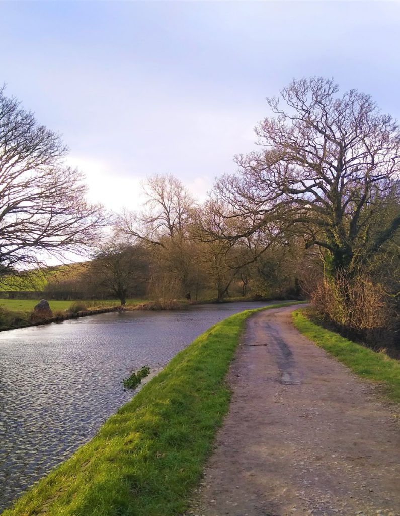
After this, the path turns right and heads back down to the canal which we re-join at a bridge, now turning left down the towpath – this time away from Carnforth and in a Southerly direction.
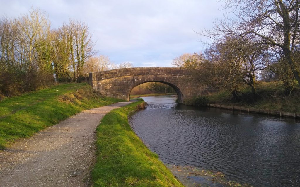
Walking, and indeed navigation are now easy – we stick with the canal for a while passing under six bridges as we meander south.
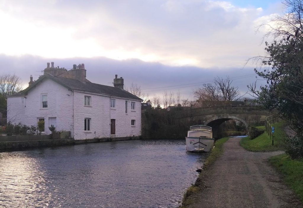
Eventually we arrive at this distinctive white building on the far side of the canal – this identifies the bridge where we leave the canal and head down and to the right into Hest Bank. Confirmation that we are in the right place is provided when we look uphill and inland at the bridge where we see the Hest Bank Hotel.
After leaving the canal, look out for Station Road on the right, and take that down to the A6 where there is a pedestrian crossing which leads us to the West Coast Main line and the railway crossing.
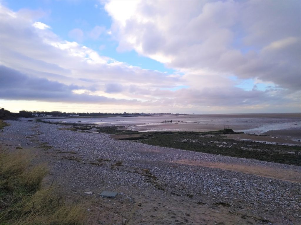
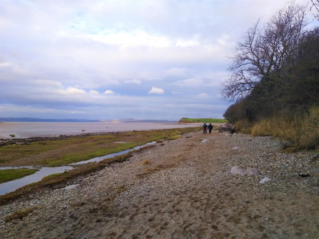
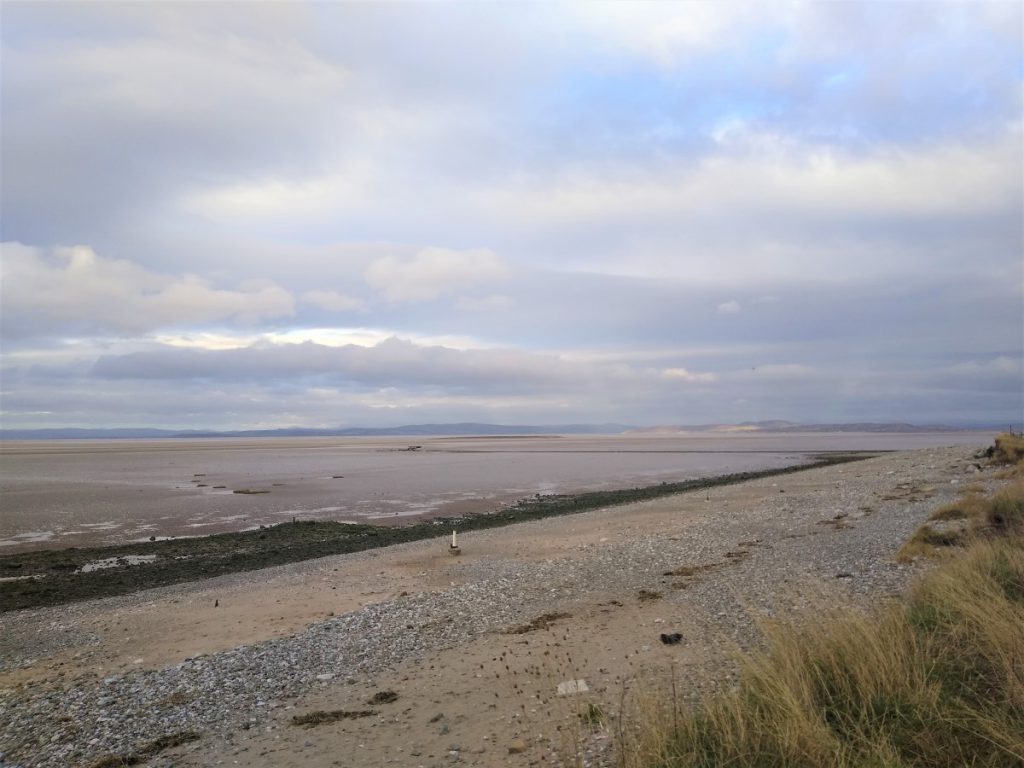
Immediately beyond the railway is the beach, offering fine views SW to Morecambe, N to Warton Crag and W to the far fells of the Lake district. Which of these (if any) will be visible depends of course on the weather.
We now head North up the beach, and our path is part of the Lancashire Coastal Way. Initially this follows the top of the beach, but soon, we find it diverting slightly inland toward a stile into a field on the right which sits on a small promontory. The path now follows the edge of the field, always at the seaward edge until we see a second stile leading into a further field.
At the far left hand end of that second field is the poignant monument erected to commemorate the death of at least 21 Chinese Cockle Pickers in February 2004. The exact number lost remains unclear as the people involved were all illegal migrant workers being exploited by gang masters who kept no records and who remained uncooperative when asked by the search and rescue authorities to help clarify numbers.
The vantage point afforded by the monument enables us to see just how difficult the conditions were; Ahead of us we see flats of deep soft mud carved with sudden and severe trenches where water flows. This terrain is dangerous at the best of times, but in the dark, and with no experience is all the more threatening.
From the monument, we head inland along the field boundary, where we find a stile which leads us into a farm site with a small number of holiday caravans. We walk along the main access track just to the right (inland) of the buildings, still on The Lancashire Coastal Way.
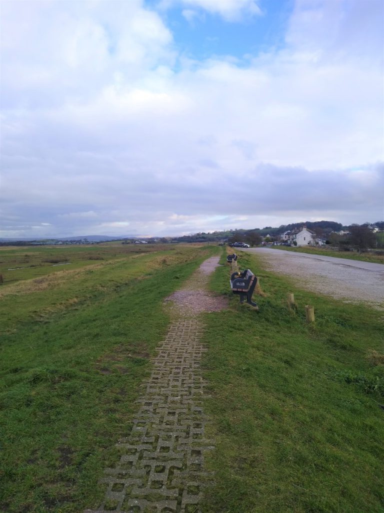
The whole of this area is a marsh, and along most of it, the path is on a built-up bank to the seaward side of the track. We follow this embankment and ignore the roads and tracks coming in from the right.
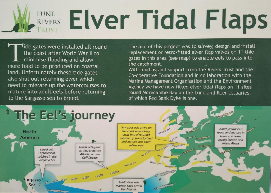
The mud flats at this point host a great deal of interesting flora and fauna, and much work has been done here to make the habitat more sustainable – a good example being the installation of float operated valves to enable eels to access the many small rivers that empty into Morecambe Bay.
The Coastal Way continues along the top of the beach / mudflats, passing first a garden centre and then this attractive house (“Wild Duck Hall”) both on the right hand side of the path.
Ahead of us and to our right, we now see the caravans of the Holgate’s caravan park. Our route out back to the lay-by is via a public footpath through the park. We do not however take the first gate into the park – the proper path is just beyond this and is clearly marked.
As so often happens in caravan parks, the owners have helpfully provided lots of signage to help us understand where we should and should not go, but essentially the route is now along the access road through the site and up to the junction with the A6.
From here we look left and see the lay-by where the walk ends.