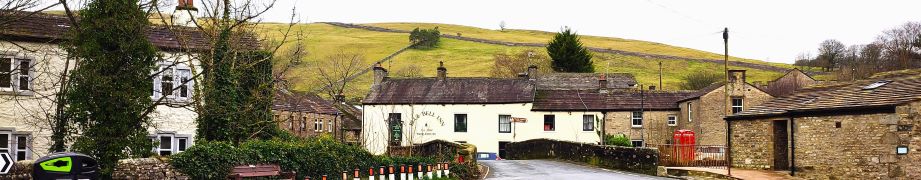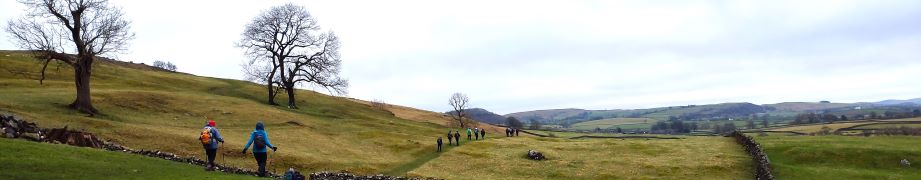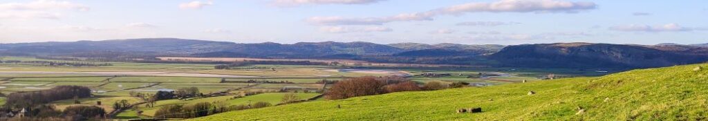
The High Way Upper Wensleydale
7.1 miles | 11.5 km | 371 m Ascent | 9.0 Naismith miles | George Sheridan
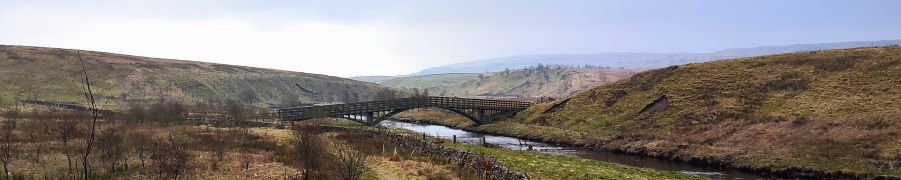
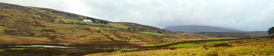
Walking is a somewhat weather-dependant hobby, and this route demonstrates that clearly: When we completed our Grisedale and Garsdale walk in this area in June 2022, we enjoyed bright sunshine, walked over dry fields, and asked ourselves why bridges had been provided to cross mere trickles of streams. Fast forward to the wettest start to year that anyone can remember, and we see why the bridges are there – those same streams are now small rivers in full flow.
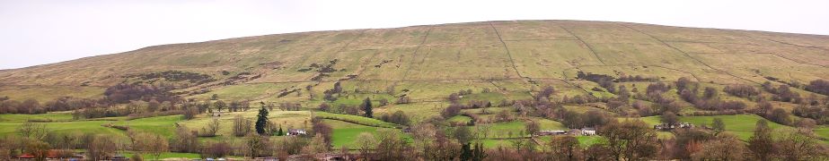
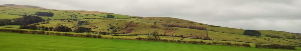
So, does the rain spoil the experience? Not at all, it just gives us a different perspective: Wonderful waterfalls roar into life, mosses and lichens proliferate, and we get extra exercise jumping over streams and fighting to stay upright on muddy descents. Whatever the weather, this walk offers a great deal – we rate it as easy based on the distance and ascent but be aware that there are steep sections and in the event of poor conditions, extra care is needed.
The High Way Upper Wensleydale Read More »