Jump to . . .Step by Step | OS Map | Downloads | Gallery | Fly through
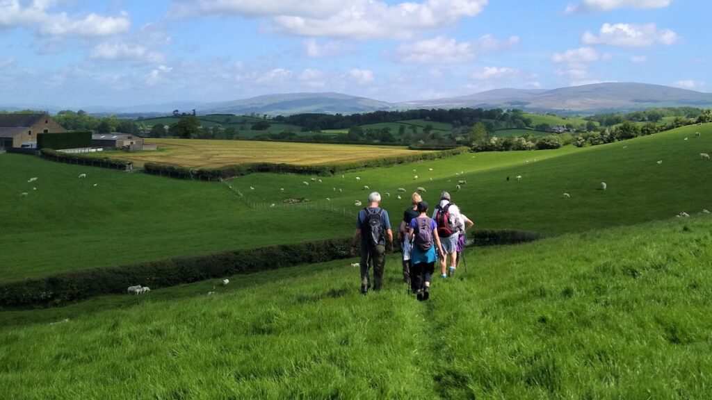
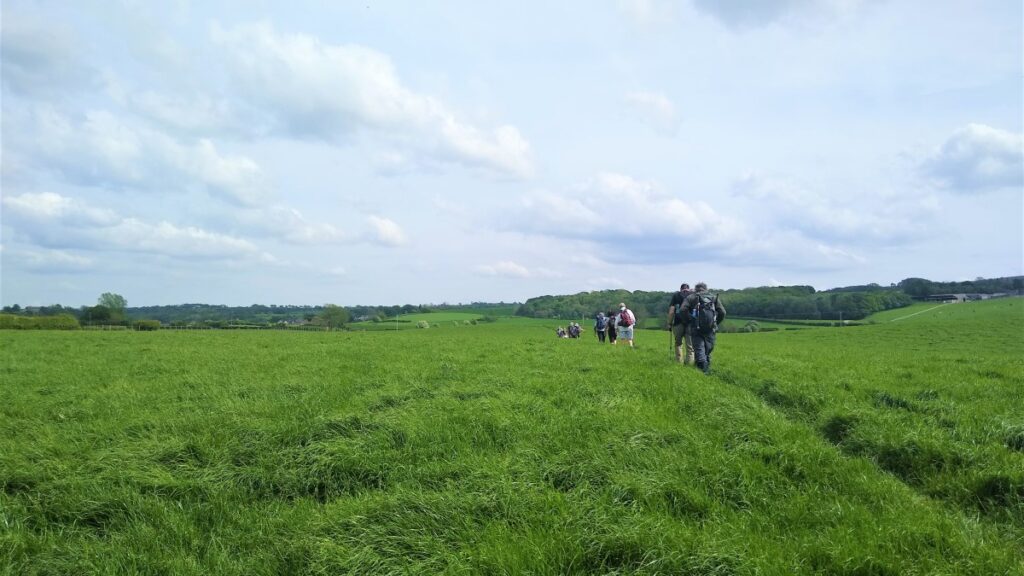
This walk gives us the opportunity to explore some of the excellent walking country right on our doorstep.
We start in Wray just a few minutes’ drive from Bentham, and walk back to Wennington before heading over to Wrayton. From there we walk back down the Lune Valley to Loyn Bridge and then into Hornby before returning to Wray.
Tackling the loop in his order gets the climbing out of the way early in the day, but it would be possible to walk the same route starting at Wennington, taking the train just one stop from Bentham, or to walk the other way round.
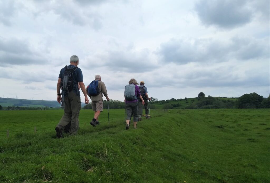
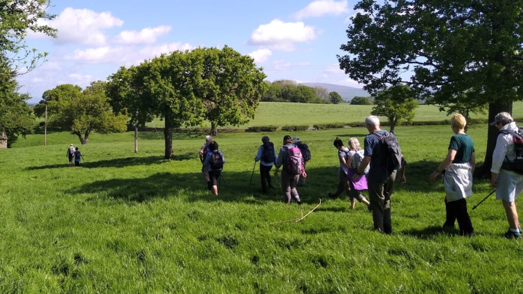
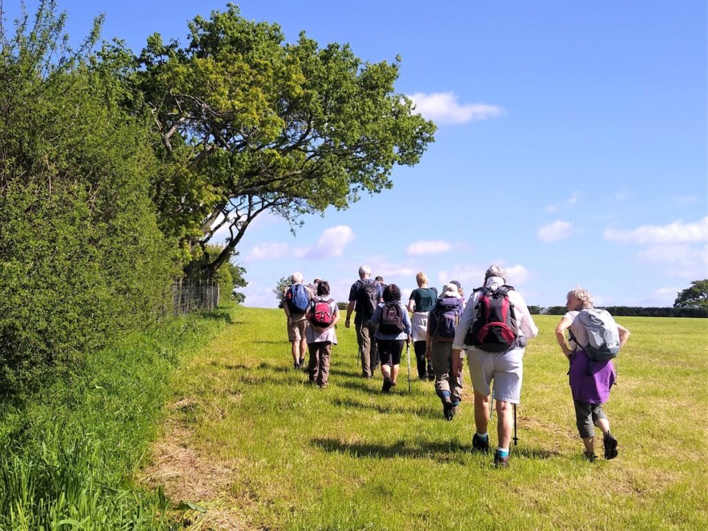
This walk offers a wide variety of landscapes. There are a good number of stiles, but none of the hills are steep. We grade it as challenging simply because it’s quite long, and if you wanted a shortened version, cutting back to Hornby from Loyn Bridge along the road would be viable.
- Total distance 20.5 km (12.7 miles)
- Total Ascent 645 m
- Challenging walk
Step-by-Step
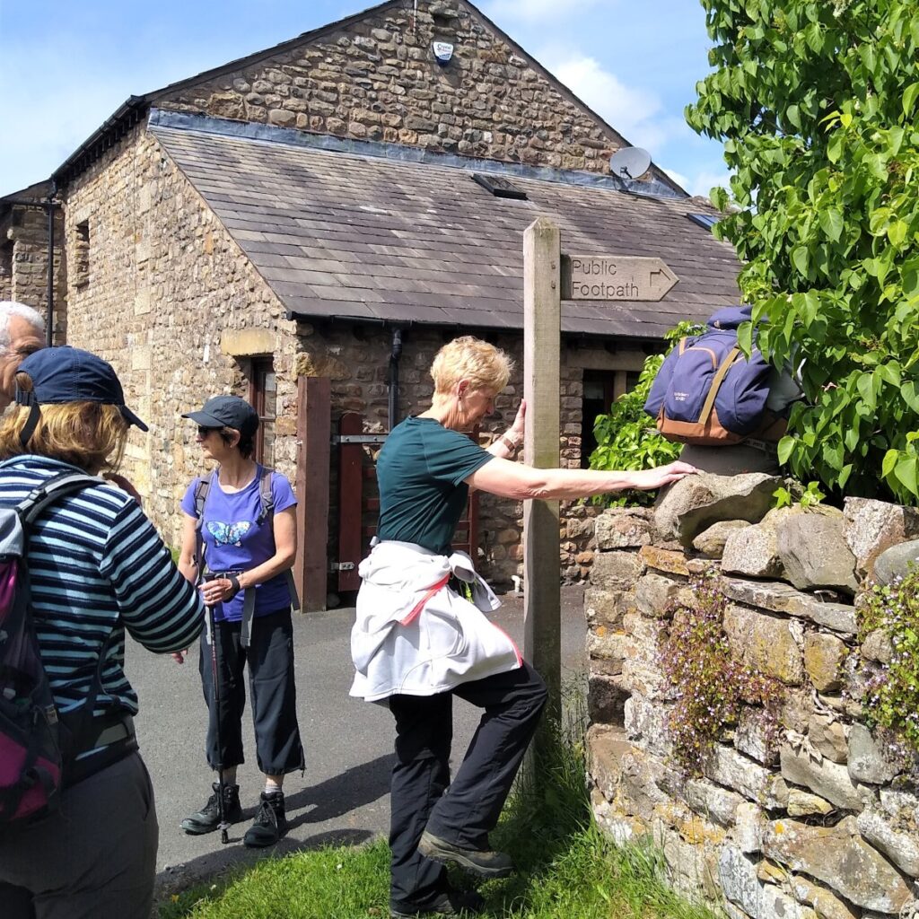
We start at the layby next to the bridge as the B6480 crosses the Hindburn on the Bentham side of Wray. Satnav users will find that postcode LA2 8QH get them within sight of the layby, whilst what-3-words tag pools.banks.corporate will get you right there. Paper map users will find grid reference SD60446797 useful.
From the layby we head back to the bridge by following the layby to the end – noting as we do the “Mealbank Bridge” inscription stones from the original bridge which was destroyed in a flood in August 1967.
Those of us who have only seen Wray in recent times may struggle to comprehend how devastating the floods of 1967 were, and just how intense the August storm was. In Wray, 5 dwellings were completely destroyed whilst 11 were badly damaged and 14 more were flooded out.
Photographs and video from the time are available. The following links are particularly interesting and poignant:
https://riverroeburn.weebly.com/wray-flood-1967.html
https://www.yfanefa.com/record/11548
https://www.lancasterguardian.co.uk/news/video-wray-floods-50th-anniversary-1090528
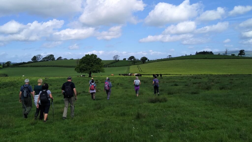
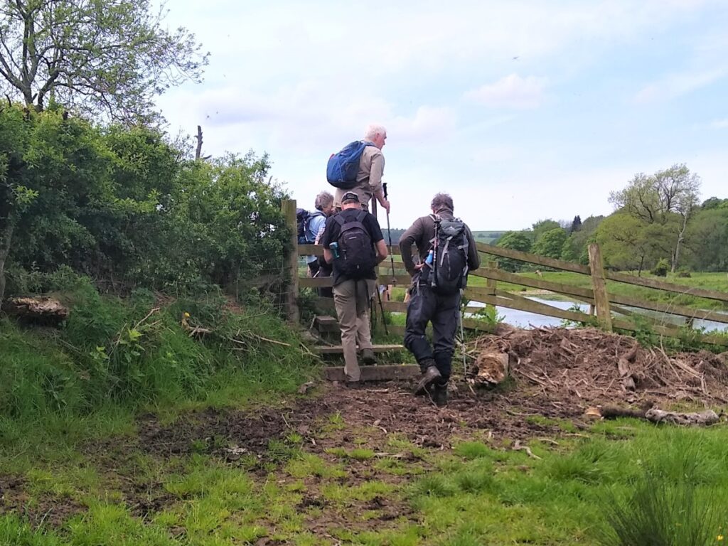
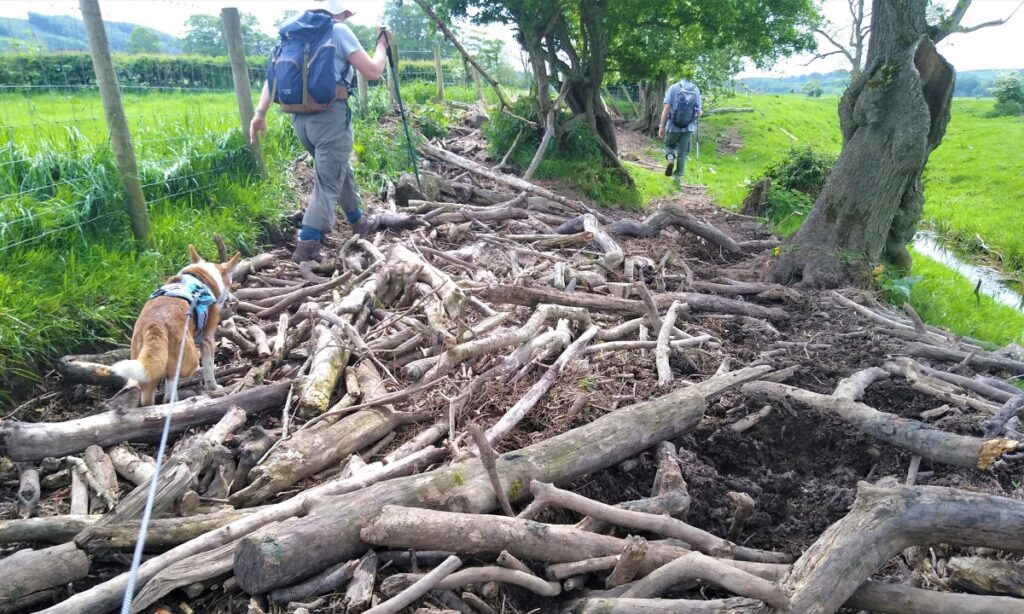
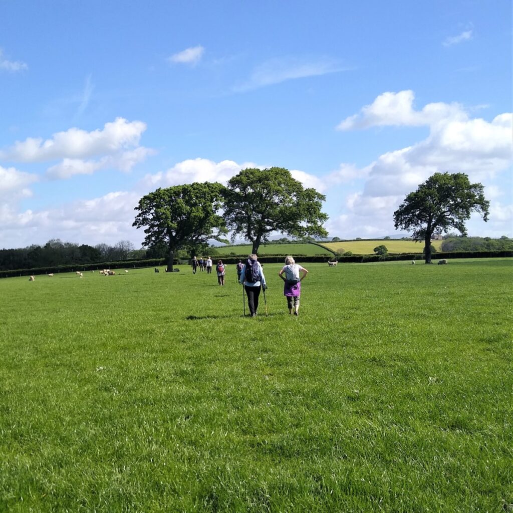
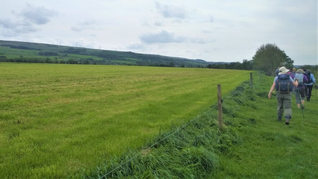
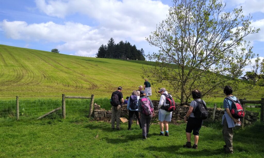
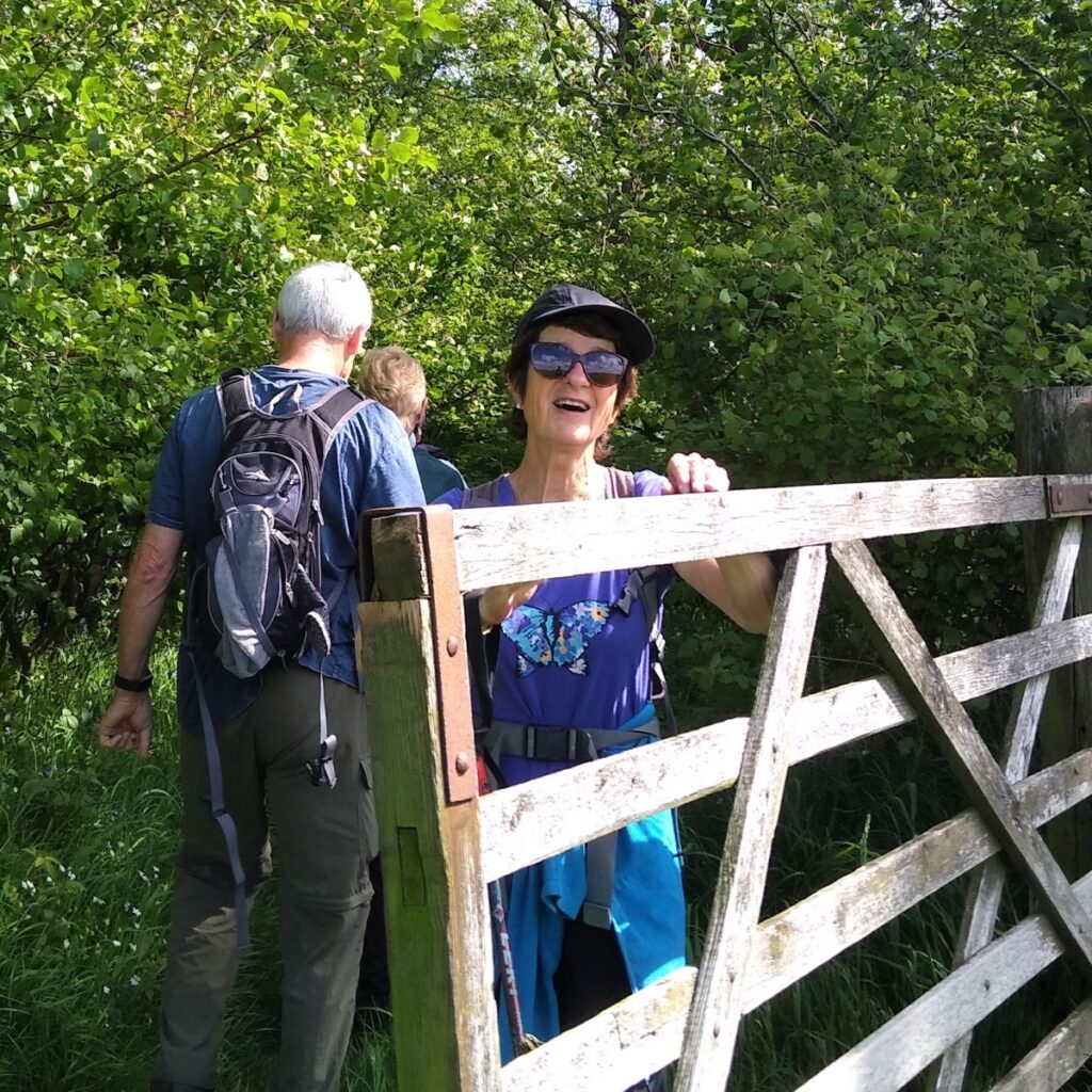
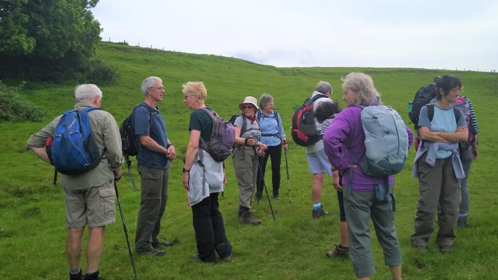
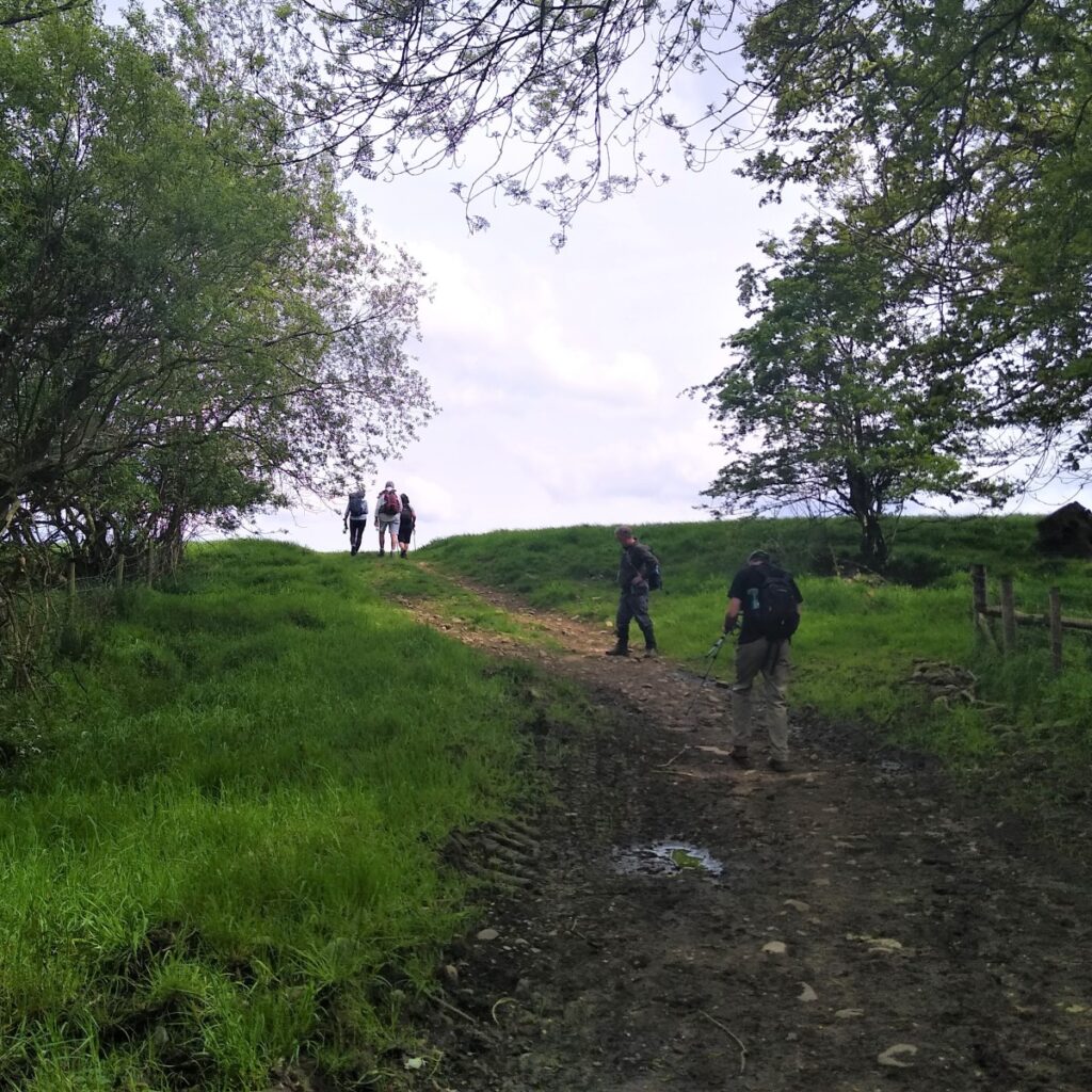
After crossing the (new) bridge, we stay on the right hand side of the road as we head back toward Wennington, looking out for a stile on the right into fields. We take the stile and head uphill across the meadow toward the farm buildings – the path is generally clear. Our route crosses a couple of field boundaries at stiles – the first of many on this walk – and we are heading Southeast as we approach the farm where we exit onto Agnes Ing Lane.
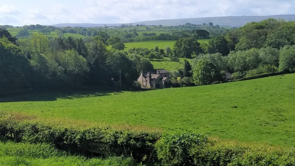
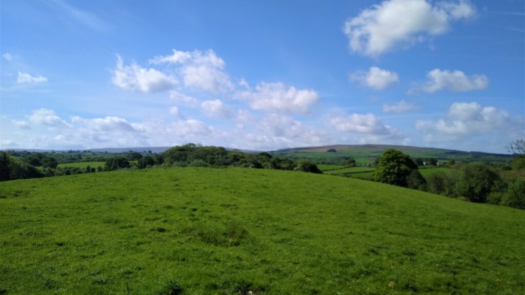
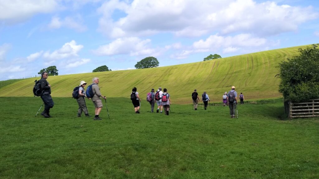
At the road we turn right and walk past the farm to find a stile on the left. We take this and then head North up toward the far corner of the field. We have now gained a good deal of height, and we now start to see good views over the Wenning Valley toward Hornby Park woods and Tatham with its very attractive church.

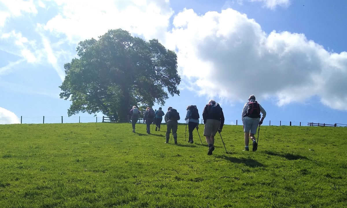
We continue to climb gently, now heading Northeast, crossing stiles at each field edge, as we head toward Netherwood Hall.
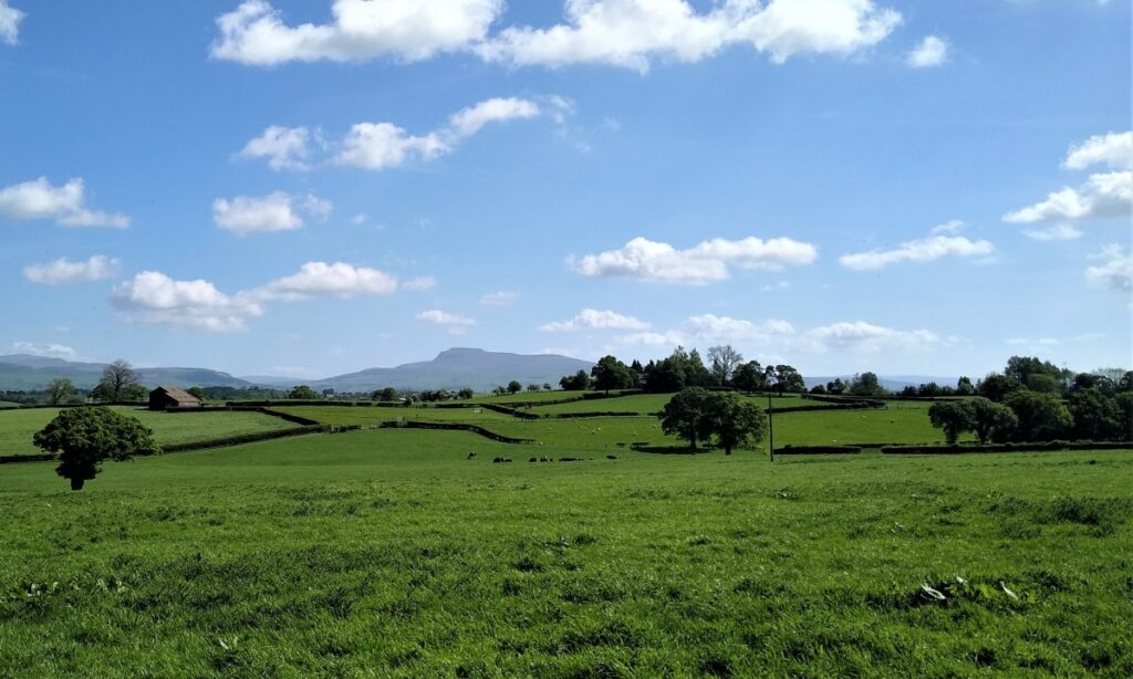
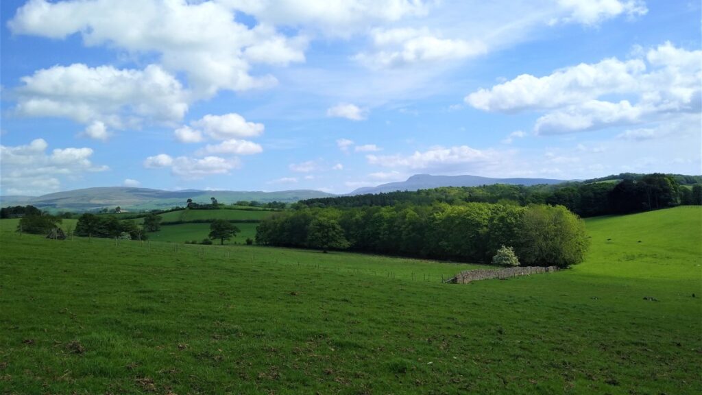
There is a path that goes through the Hall grounds – this leaves our current route on the right, but we keep left, with the characteristic shape of Ingleborough ahead of us in the far distance as our target
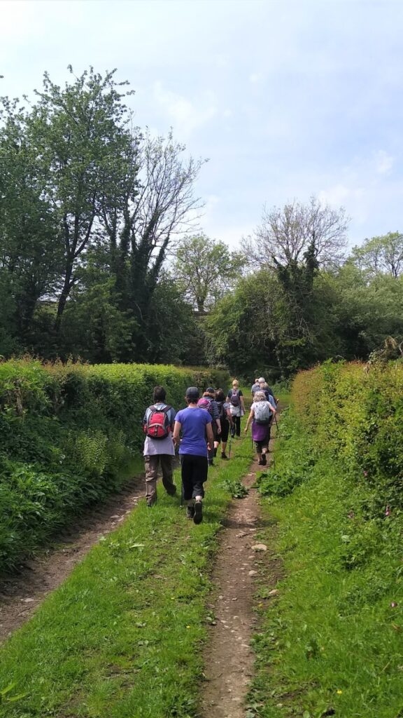
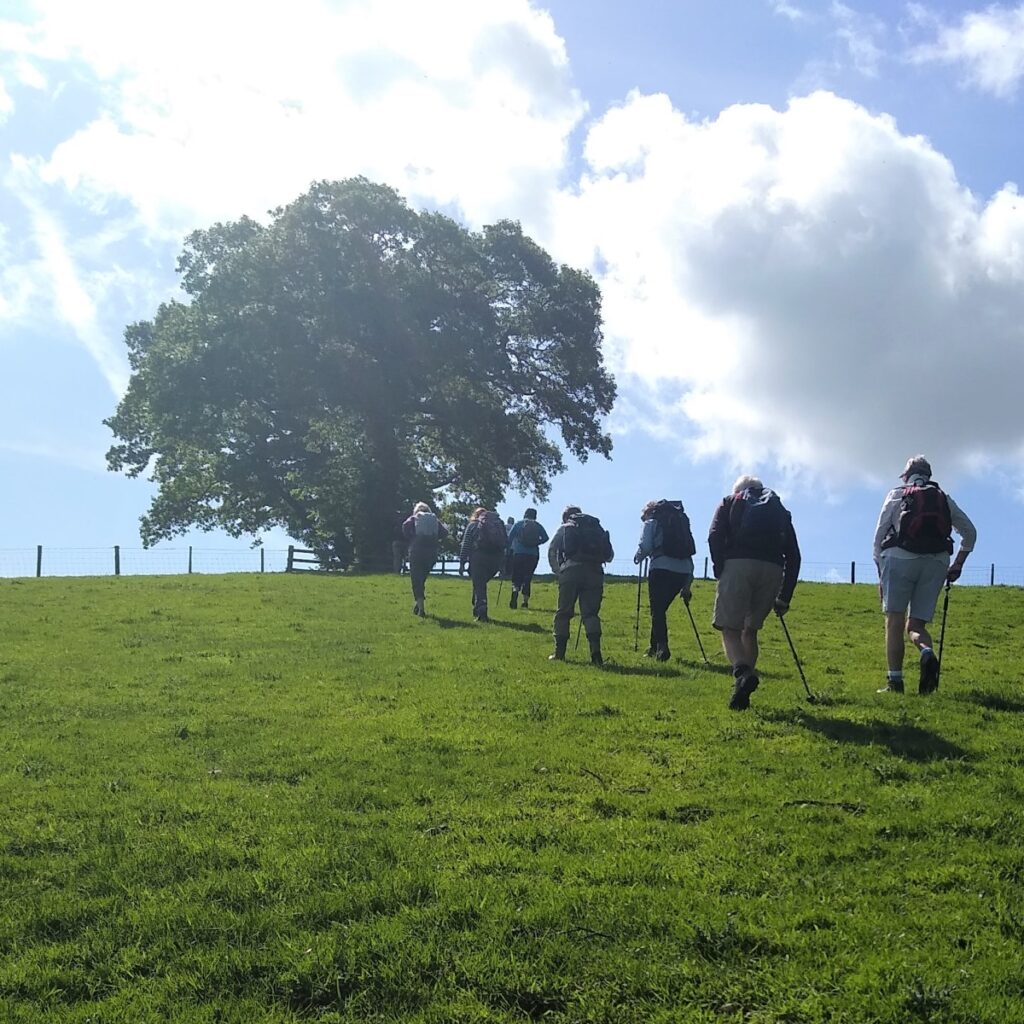
The path starts to come round to a more Northerly direction, and we keep to the edge of the fields as we follow the path which remains clear at all times.
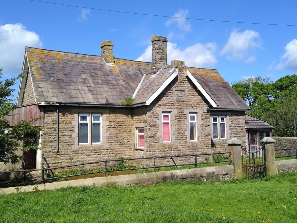
As we reach the top of the hill, we look back to see Netherwood Hall nestling next to the woods and forward to see what looks like an old school building. The inscription shows that this dates back to 1875.
From here we cross the minor road (Park Lane) to continue North toward Wennington.

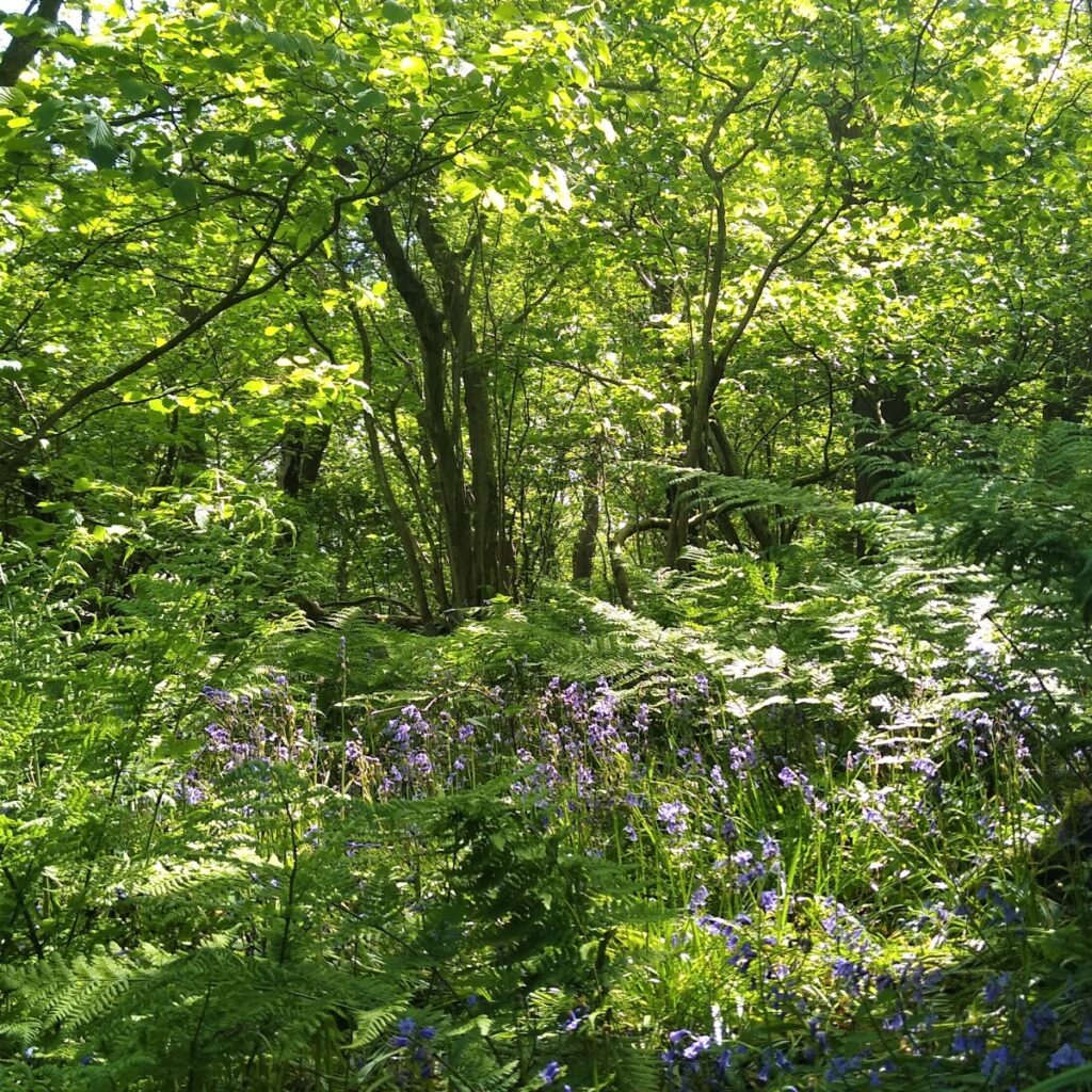
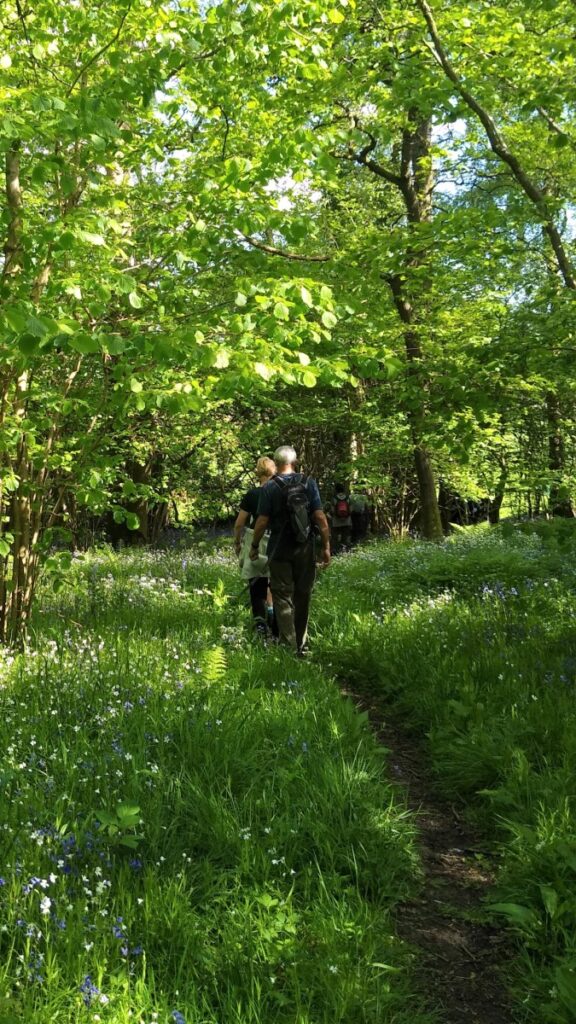
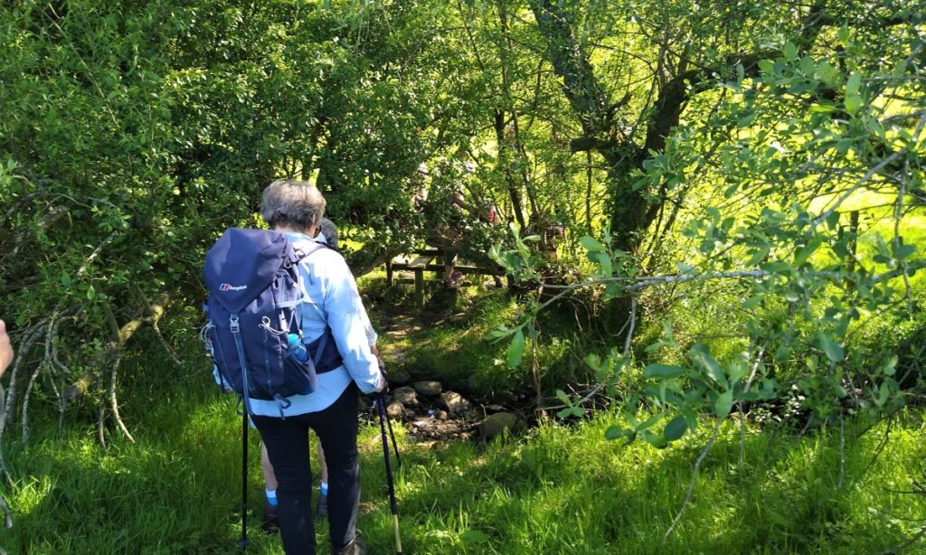
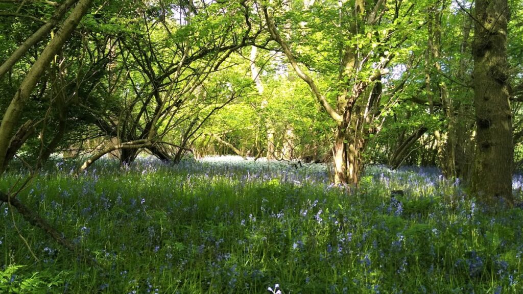
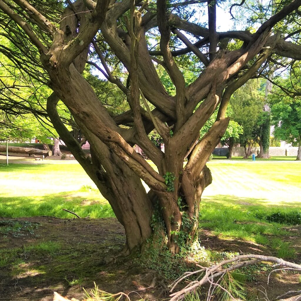
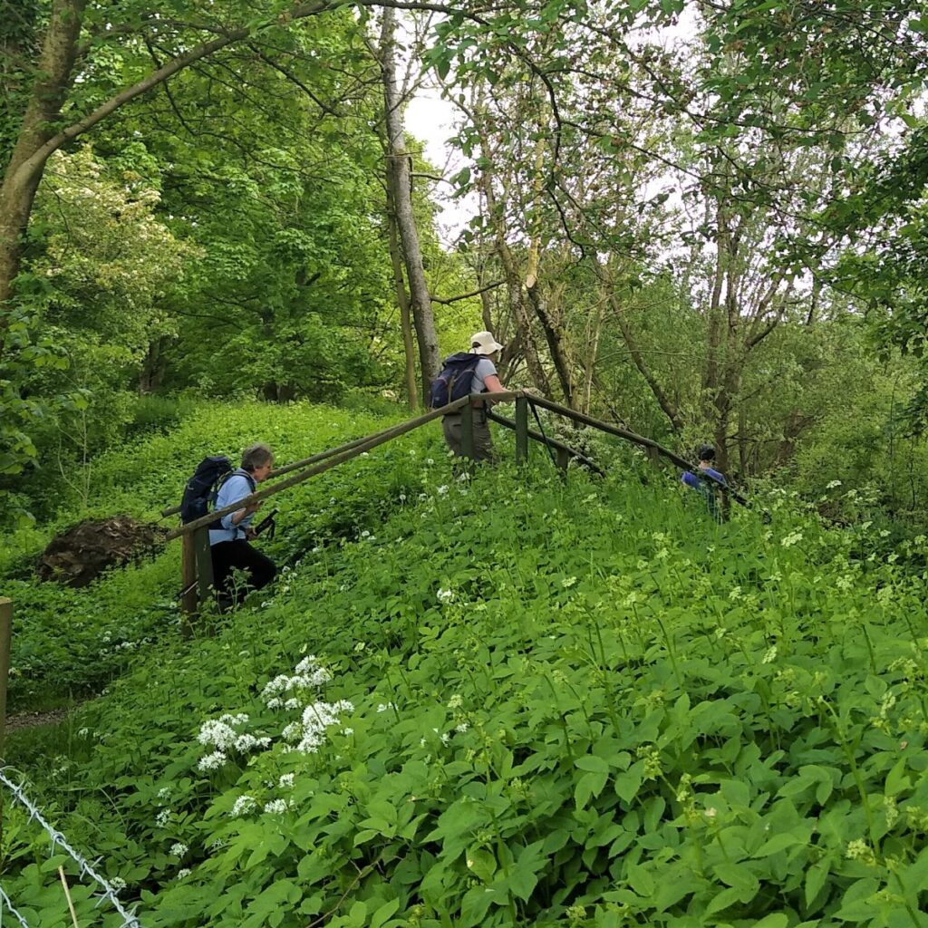
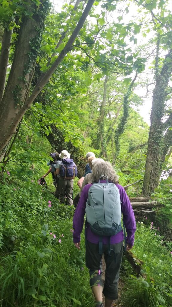
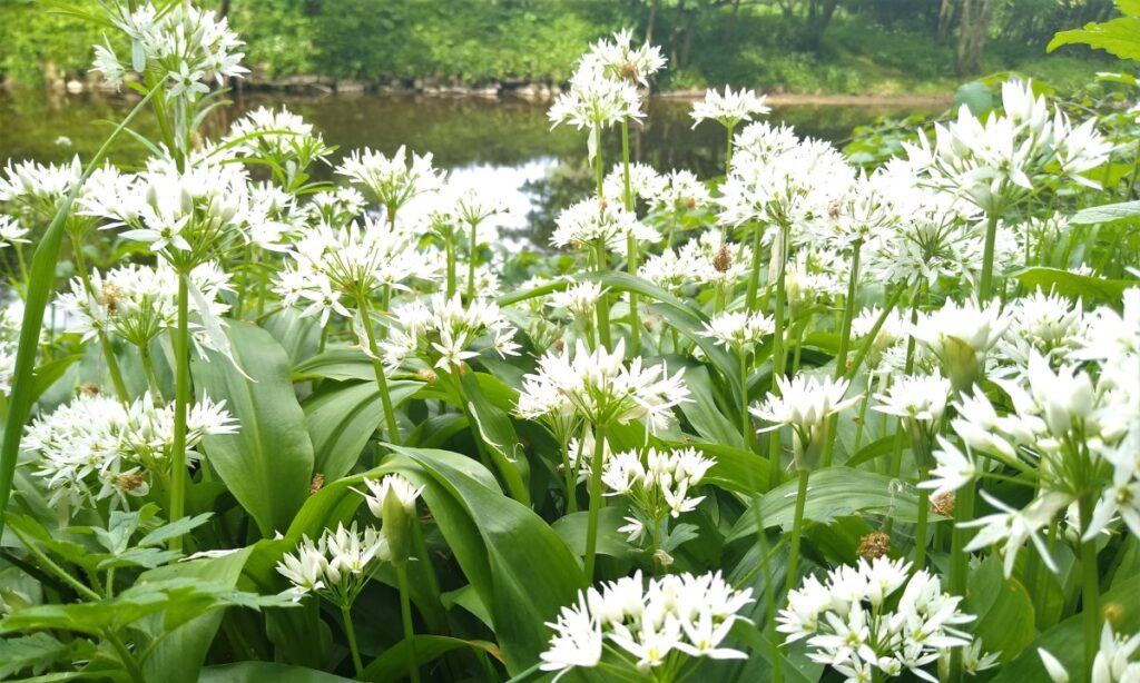
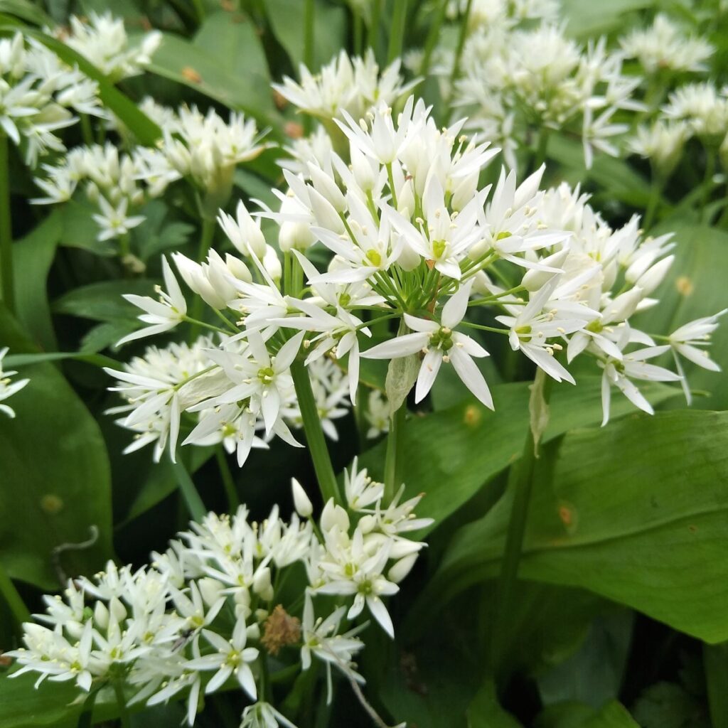
Wennington is not yet visible though, because ahead of us we have a small area of very pleasant woodland to cross, this is referred to as Coat Bank Coppice, and at the time of this walk, bluebells and wild garlic were in full bloom.
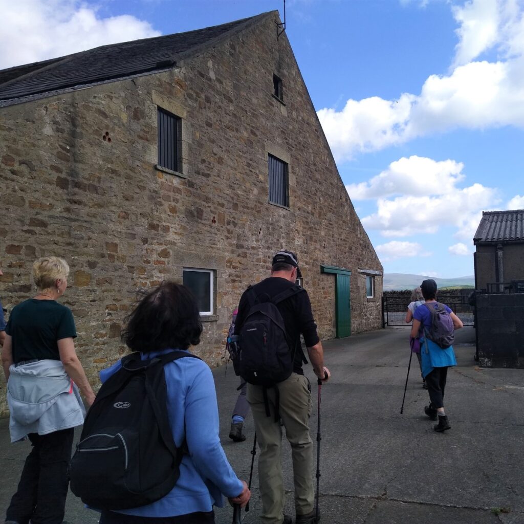
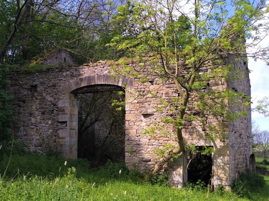
As we exit the woods back into open fields, we pass an atmospheric abandoned farm building on our left and head toward a very much better maintained farm at Overends.
Here the path passes between the farm buildings to a metal gate and then turns left along the front of the farmhouse to head Northwest along a quiet lane.
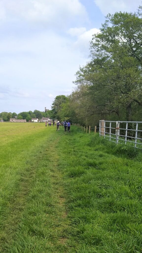
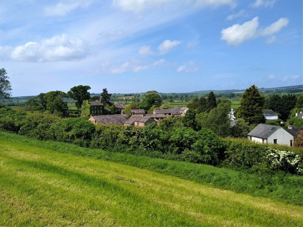
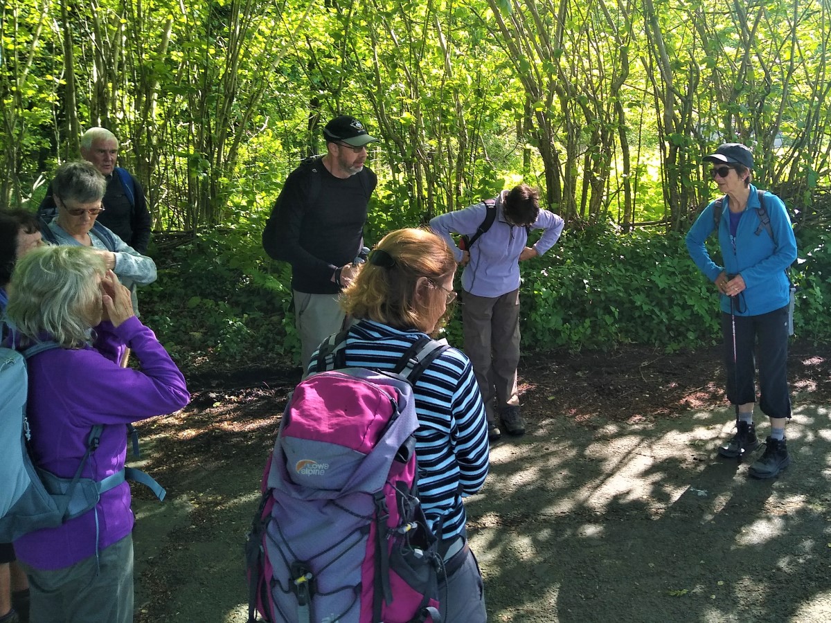
As we follow the track, we soon see it bend right – but we carry straight on and take a path across the field to the minor road at Wennington just above the railway station. Here we re-join the road and head left, steeply downhill, until we meet the B6480.

We then turn right along the pavement and cross the Wenning at the road bridge before turning right to enjoy a break at the green in Wennington – as we do so we notice a square structure built into the wall of the approach to the bridge. This dates back to the days when livestock markets were held on the green – it was a pound where animals would have been secured whist awaiting collection.
From the village green at Wennington, we look for the road out toward Melling – called Lodge Lane – and follow this for a while.
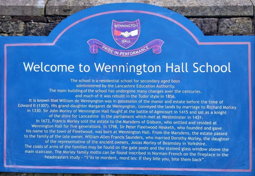
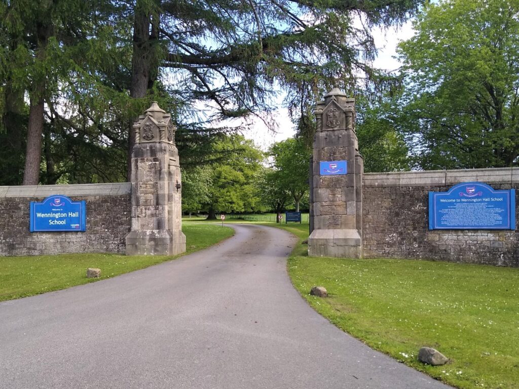
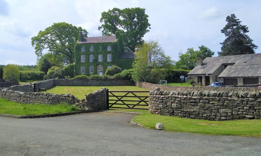
We soon arrive at the visually impressive Wennington Hall. There has been a hall on this site since the 14th century, but the present building designed by Lancaster architect Edward Graham Paley, is more recent: 1855–56. It was built for William Allen Francis Saunders, High Sheriff of Lancashire in 1862. After him it passed to Charles Morley Saunders and later William Morley Saunders. During the Second World War it housed the Wennington School, which moved to Ingmanthorpe Hall in Yorkshire at the end of the war.
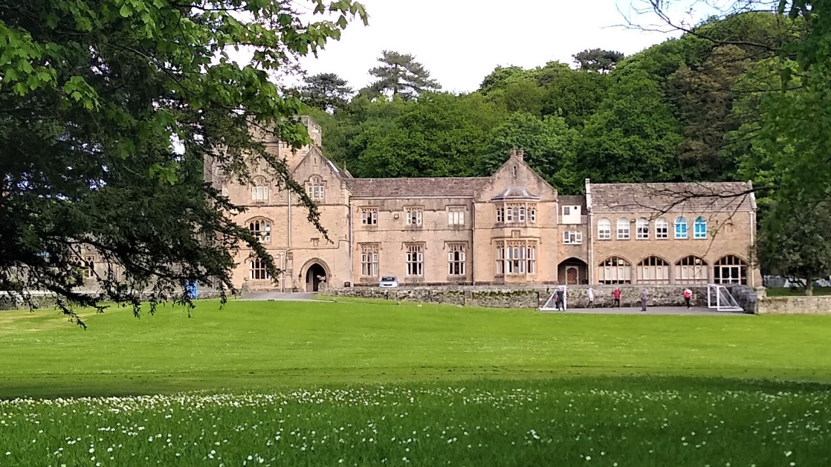
This splendid building is currently a Lancashire County Council boarding school for boys with learning or behavioural difficulties, but there are reports that it will close in 2022. Details can be found here: https://www.lancasterguardian.co.uk/education/lancaster-school-will-close-this-summer-in-spite-of-improvements-3601653
At the end of a small patch of conifers at the left hand boundary of the school, we see a stile into open fields, which we take to head uphill along a fence line in a Northerly direction. This leads us through three stiles before we arrive at a small lane. We cross this and take another stile across the field to Wrayton – a hamlet with some particularly impressive houses.

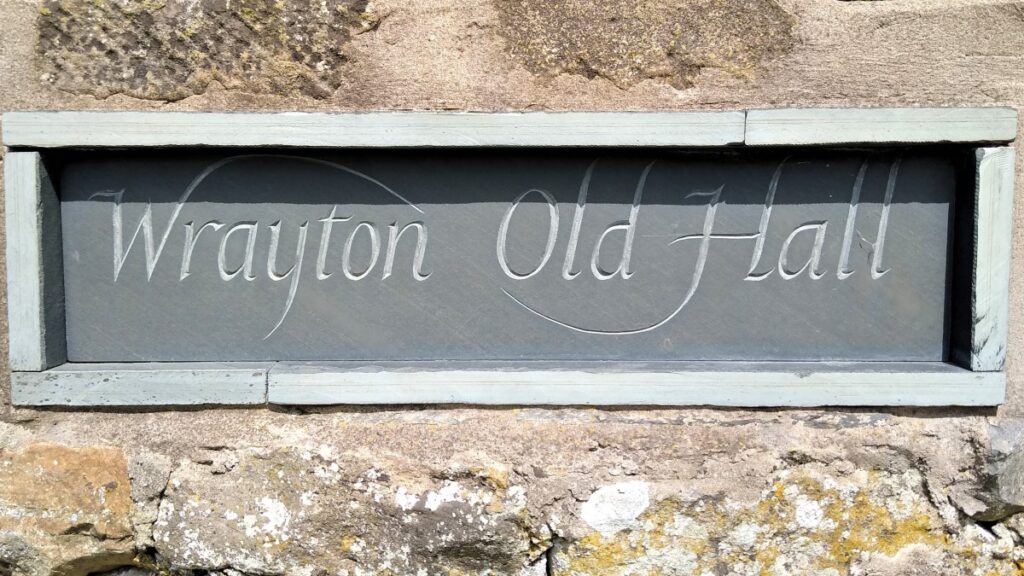
Once our path brings us down to the road through Wrayton, we turn left and head into the centre where we find a spacious well kept green. On our right is Wrayton Old Hall, and on the right beyond the green is Wrayton Farmhouse.
We keep an open eye for small stile leading to a footpath on the right just past the Old Hall sign. This takes us to the river Greta which flows under the A683 at a busy road junction.
Care is needed here as we cross the road to continue following the Greta downstream to meet its confluence with the Lune. Just to our North here is Thurland Castle – although it is well hidden by trees, so don’t expect a view.
Thurland Castle is a country house which has been converted into apartments. The castle is one of a number of castles in the Lune Valley. It is recorded in the National Heritage List for England as a designated Grade II* listed building.
The earliest existing fabric dates from the 14th century and in 1402 Sir Thomas Tunstall was licensed to crenellate the building – making it a castle with a primarily defensive purpose. Work was done on the building to convert it to a country house in 1810 by Jeffry Wyattville, and in 1826–29 by George Webster, but in 1876 it was destroyed by fire. At this point the Lancaster architects Paley and Austin were commissioned to rebuild it, and what is now present is mainly their work. Work began in 1879, over 100 men were employed, and it was not completed until 1885.
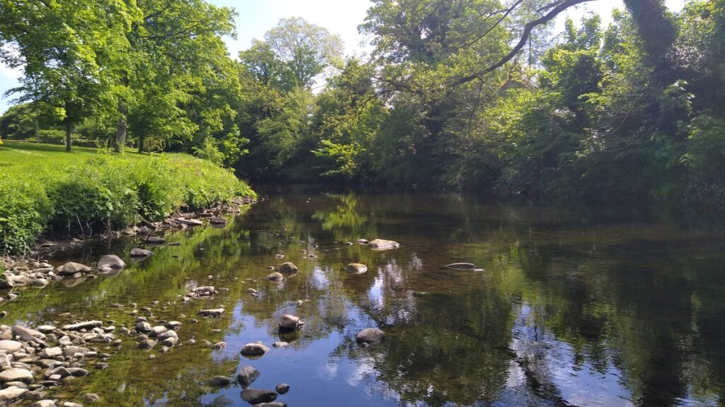
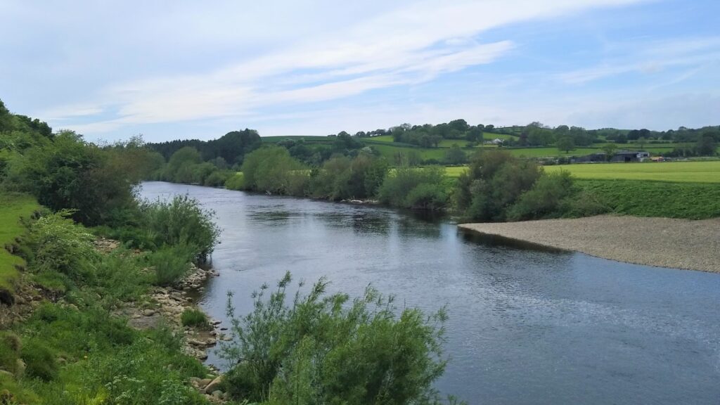
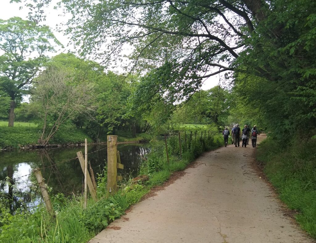
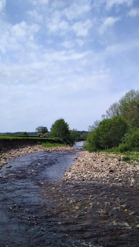
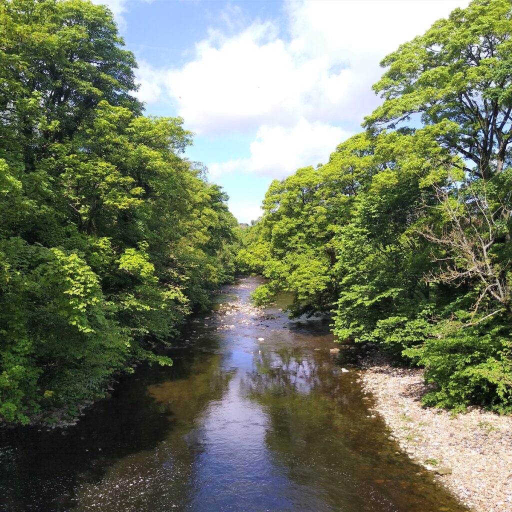
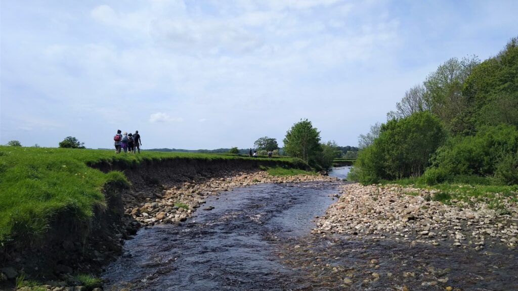
We now follow the Greta westward until it meets the Lune, at which point the path turns sharp left taking us South along the river valley toward the railway line as it emerges from Melling.
Melling had a station until 1952. The station was opened on 6 June 1867 by the Furness and Midland Joint Railway on their line between Wennington and Carnforth. It was sited between the western portal of the 1230 yard (1118m) Melling Tunnel and the bridge carrying the railway across the A683 Lancaster to Kirkby Lonsdale road.
It was closed on 5 May 1952 (i.e. prior to the Beeching cuts) by the British Transport Commission due to low patronage. Though most of the structures have since been demolished, the station house is still present and is used as a holiday cottage, whilst the former goods yard is used as commercial premises. The line passing through also remains operational, as part of the Leeds to Morecambe Line – which course passes of through Bentham.
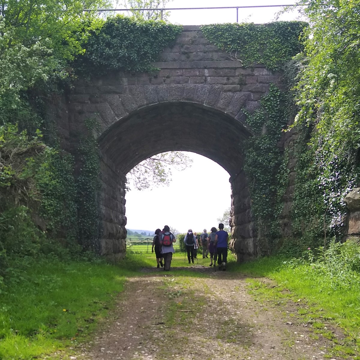
As we head toward the railway, we see a series of arches, and our path passes under one before taking a sharp right, then a left to continue down the Lune Valley.
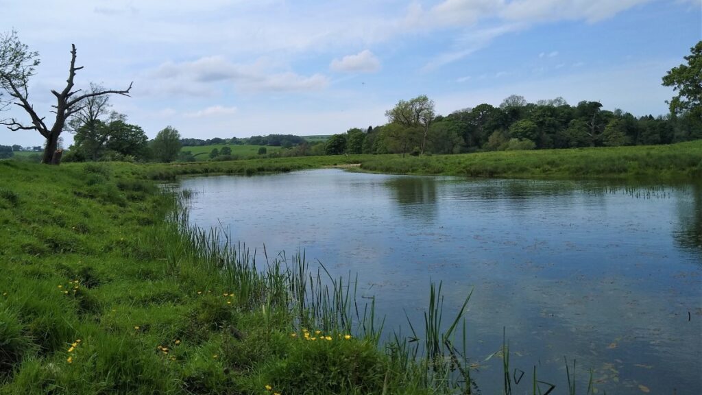
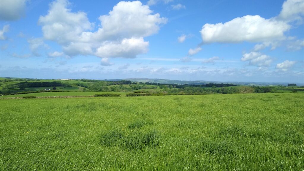
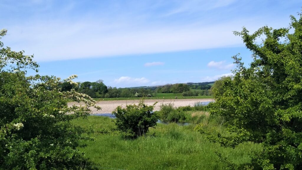
This area is very flat, and there is evidence of the Lune changing its course many times with oxbow lakes and large deposits of gravel that would once have been riverbed clearly present.
Opposite us in the distance is Arkholme, and a curiosity here is the marking on the OS map of a right of way across the river to the village. This relates to an earlier time when a small ferry service operated across the river.
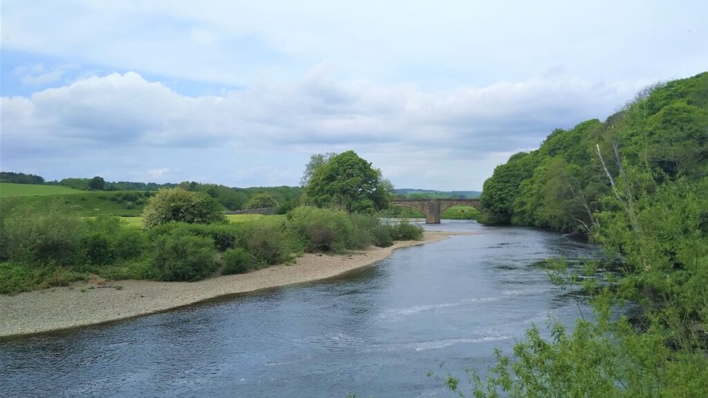
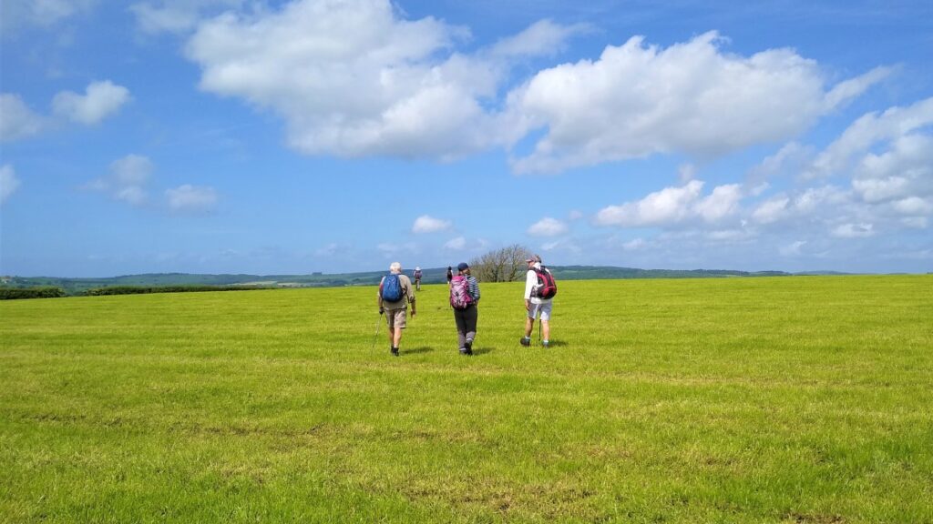
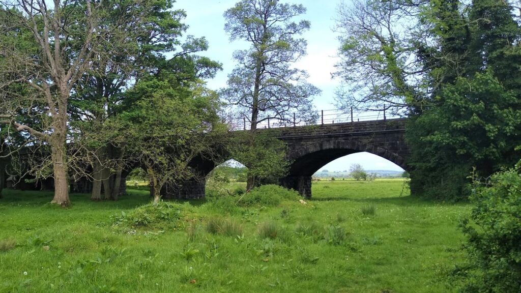
We follow the Lune south for a while now – although we remain a good way away from the river initially. The lovely Loyn Bridge soon comes into view, and we head for it.
Loyn Bridge (or Loyne Bridge) crosses the River Lune (“Loyn” probably being from the same root as “Lune”), carrying a minor road between the villages of Hornby and Gressingham.
The present bridge replaces an older bridge, which is thought to have been constructed with timber decking between stone piers. There is archaeological evidence that the river was forded here long before a bridge was built.
The date of the construction of the present bridge is unknown but is probably after 1591, when the previous bridge was described as being “in a dangerous condition”. Loyn Bridge was significantly damaged during Storm Desmond on 5 December 2015. requiring the bridge to be closed for an extended period. Extensive temporary protection for the bridge and bank were required, along with infill in the bridge piers. The repaired bridge finally reopened on 22 April 2016, but even after the bridge repairs, significant damage to the hedges and fences along the road and up the river toward Hornby are apparent.
At the bridge we take the steps up to the road and briefly turn left to take the very short walk to a stile leading us to the Motte and Bailey Castle known as Castle Stede. Located at fording point over the River Lune, Castle Stede controlled the main road from Lancaster to Kirby-Lonsdale but precisely who raised the fortification and when is uncertain.
The late eleventh century saw many motte-and-bailey castles built along the Lune Valley – all intended to control the extensive economic activity along the river and stamp Norman authority over the wider area. It is possible that Castle Stede was constructed concurrently with these but, at the time of the Domesday Book (1086), the manor was held by the Crown and there are no surviving Royal records that detail any building work there, so the origins remain unclear.
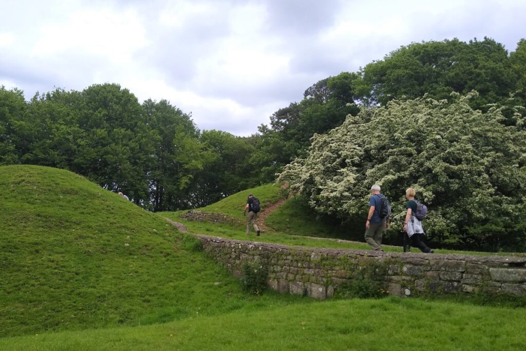
The strategic importance of this site for guarding the river crossing is clear though – and this is why there is a second world war pill box erected as a line of defence should Britain have been invaded. Experts in WWII architecture will recognise this as a type 24 Pillbox.
From the castle we head back down to Loyn bridge and carry on downstream along the Lune – on this side of the bridge though we are much closer to the river and may well see fly fishermen on the water down to the confluence with the Wenning.
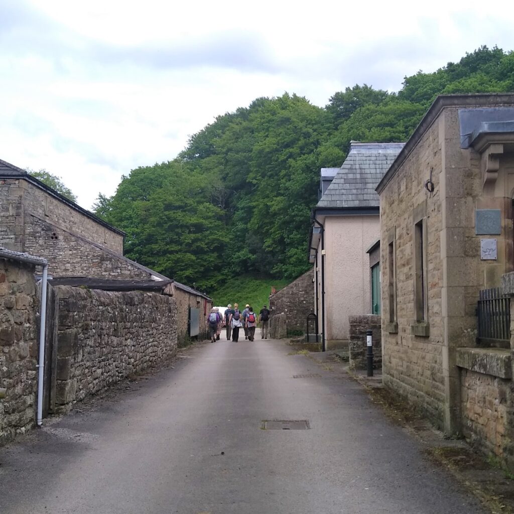
Here we turn right and head up the Wenning toward Hornby, with the characteristic profile of Hornby Castle ahead of us.
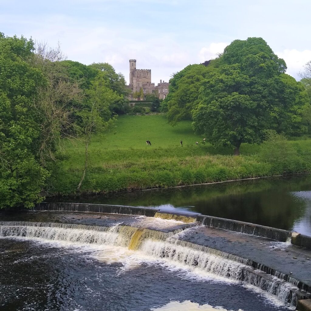
Rather like Thurland Castle, Hornby is a fairly recent country house built on the site of a mediaeval castle. Most of what can now be seen dates back to 1847 and 1850 when Lancaster architects Sharpe and Paley rebuilt most of the structure. Hornby Castle is privately owned. The gardens are however opened for special events on advertised dates.
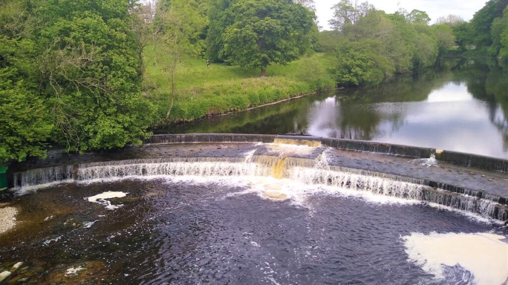
At Hornby, our path joins the main road, and we turn right to cross the river at a rather fine bridge, with the best view being upstream over a curved weir, with the castle as a backdrop.
Once over the river we turn left just before Hornby Institute to take a track though a farmyard and out toward the Wenning. The OS map shows two routes here. We take the lower route on a wide track – although if really doesn’t matter which we choose – as the higher route through a narrow path into the woods comes back together with our route later.
We keep our eyes open for a gate on the right which takes us up a bank to fields where the path heads East toward the bed of a dismantled railway.
This line, built by the “little” North Western Railway and later acquired by the Midland Railway ran from a junction at Wennington through to Claughton and Caton and then on to Lancaster.
Parts of the line have now been converted to footpaths and cycleways and feature in other BFG walks.
The footpath crosses the old railway and tracks upstream along the River Hindburn until we see the wastewater treatment works. Here the path skirts the water works and then continues along its access lane until we arrive back at the B6480 and the start of the walk.
- Total distance 20.5 km (12.7 miles)
- Total Ascent 645 m
- Challenging walk