Several of the Bentham Footpath Groups walks centre on Silverdale, and we often enjoy views over the Kent estuary toward Hampsfell. In this walk we climb Hampsfell and look the other way, using the viewing platform at the Hospice as our highpoint.
As well as the hospice and the views from there, this walk includes a return trip through quiet fields and woodlands before returning to Cartmel at the racecourse. We then enter the village centre and return to our start via Aynsome Manor and Old House Wood.
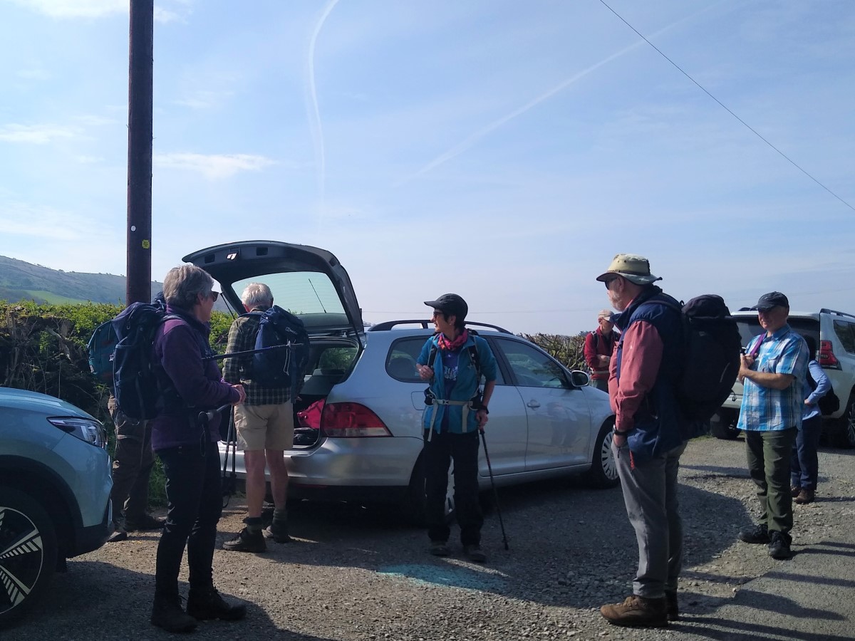
The walk starts from a lay-by on Green Lane as it heads toward Cartmel from the A590. Map reference SD38838080 and what-3-words tag headless.backswing.ledge will locate it, whilst postcode LA11 6HL will get Satnav users to the right section of the road. Once there the parking area should be apparent on the left as you head toward Cartmel.
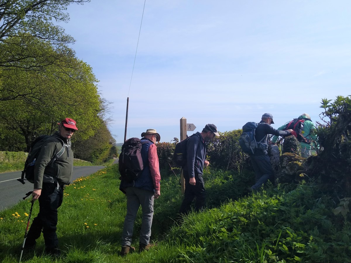
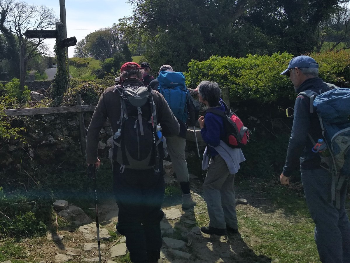
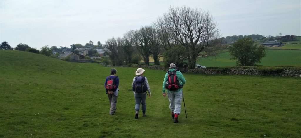
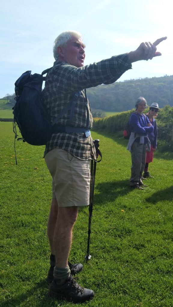
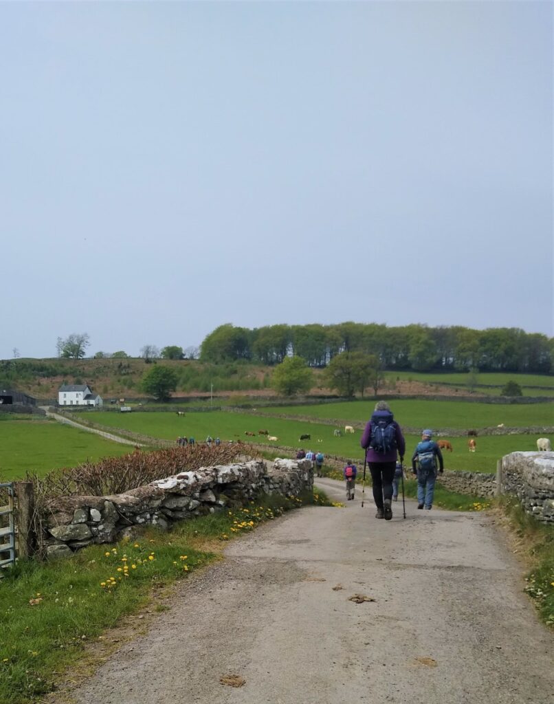
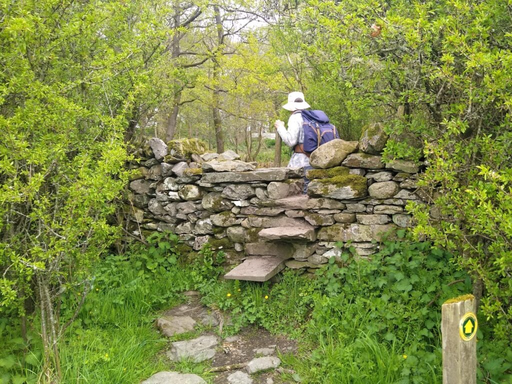
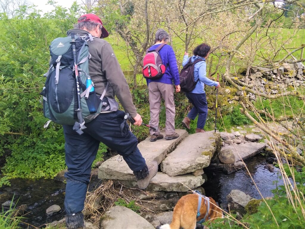
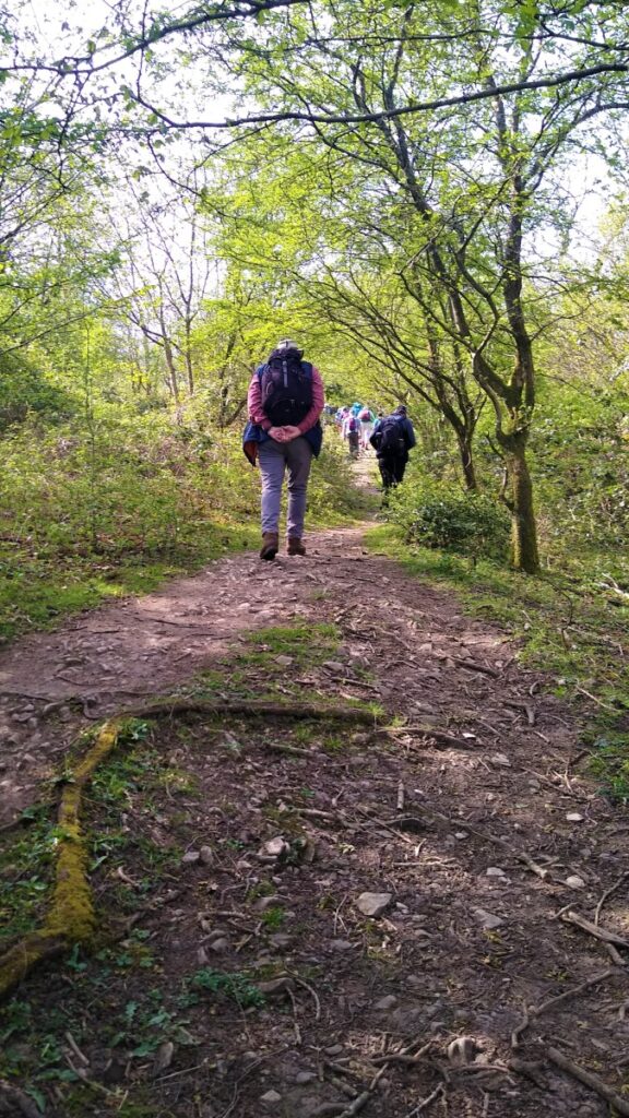
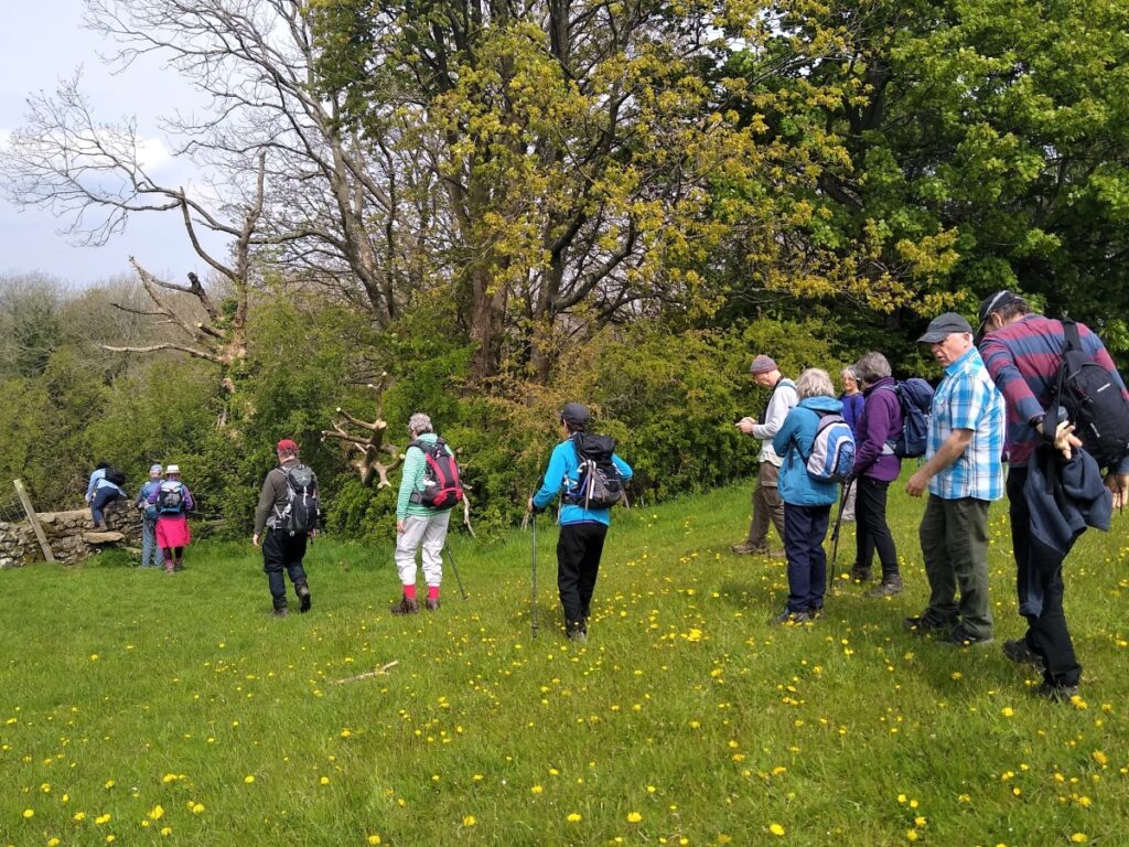
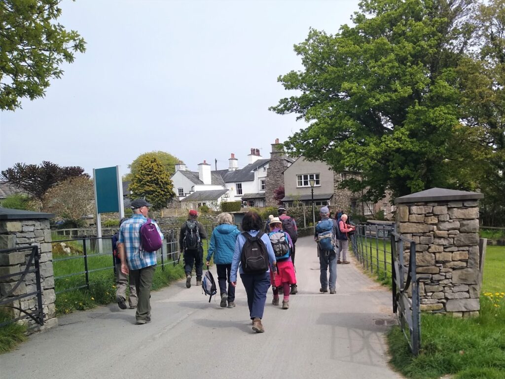
From the cars we head back North – initially away from Cartmel and with Hampsfell on our right. The time spent on the road is short though, and we soon find a public footpath sign on our right taking us through an old squeeze stile onto flattish fields and then toward woodland at the northern end of the fell.
The path keeps to the field boundary with the hedge on the right, which unfortunately makes the adjacent Hampsfield Hall less visible. This large farmhouse was built some time before 1636, and retains many original architectural features such as the large external chimney and some mullioned windows. A short distance up the hillside lies the foundation of an earlier house and pele tower demolished in the 19th century.
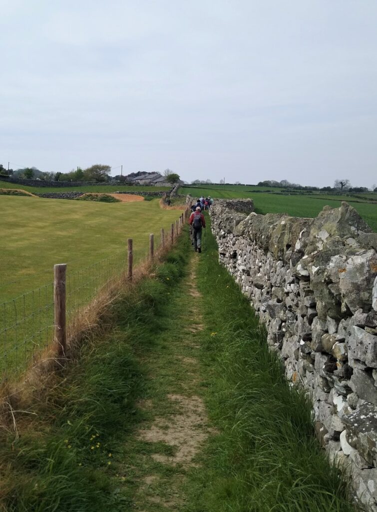
Our path crosses the field and arrives at a farm track which we cross to continue opposite now heading slightly uphill and toward the edge of the woodland, which we keep on our right hand side – at this stage the path is clear and well-trodden.
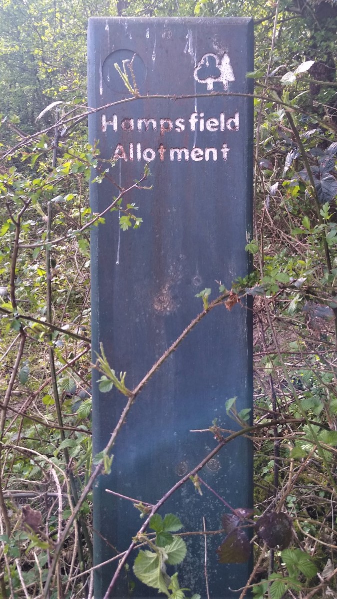
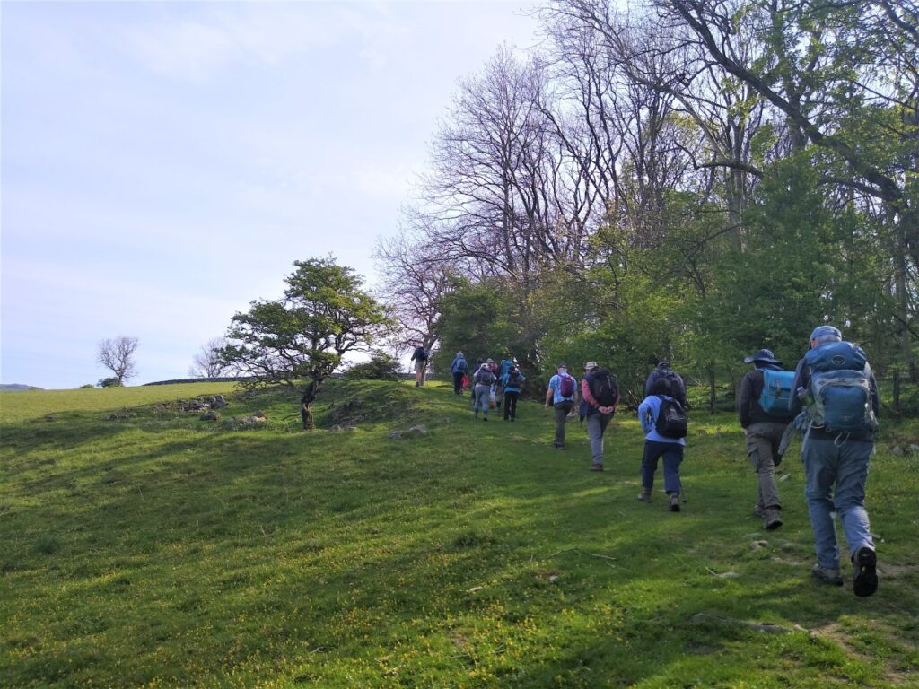
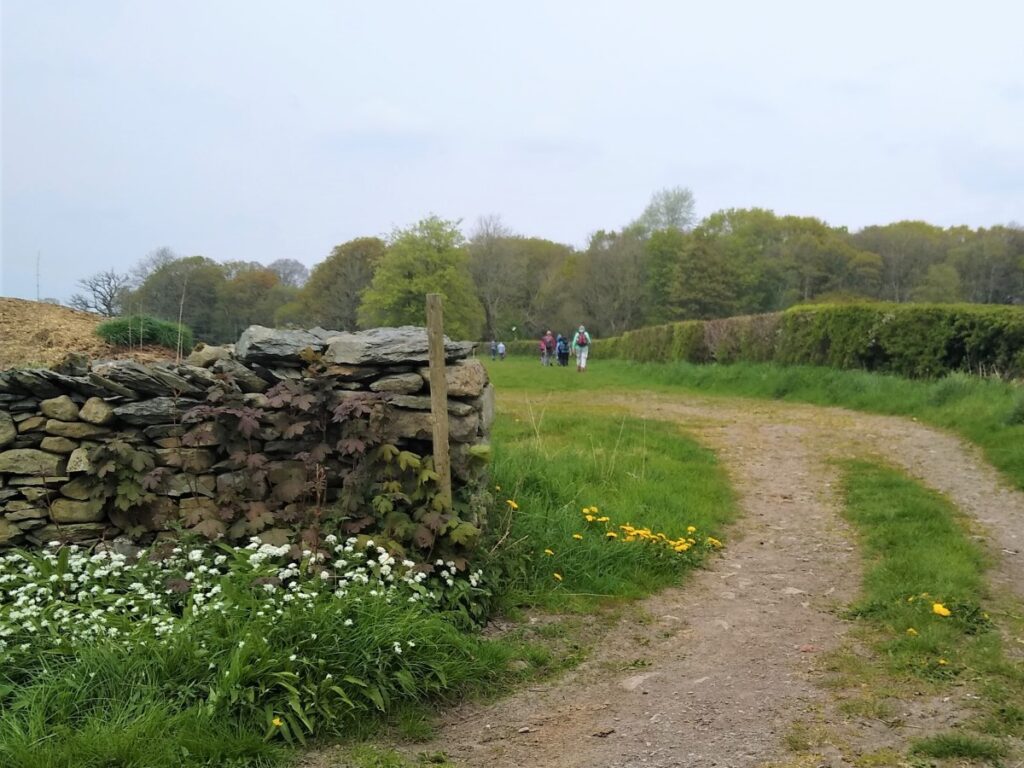
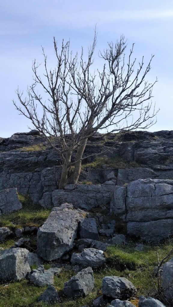
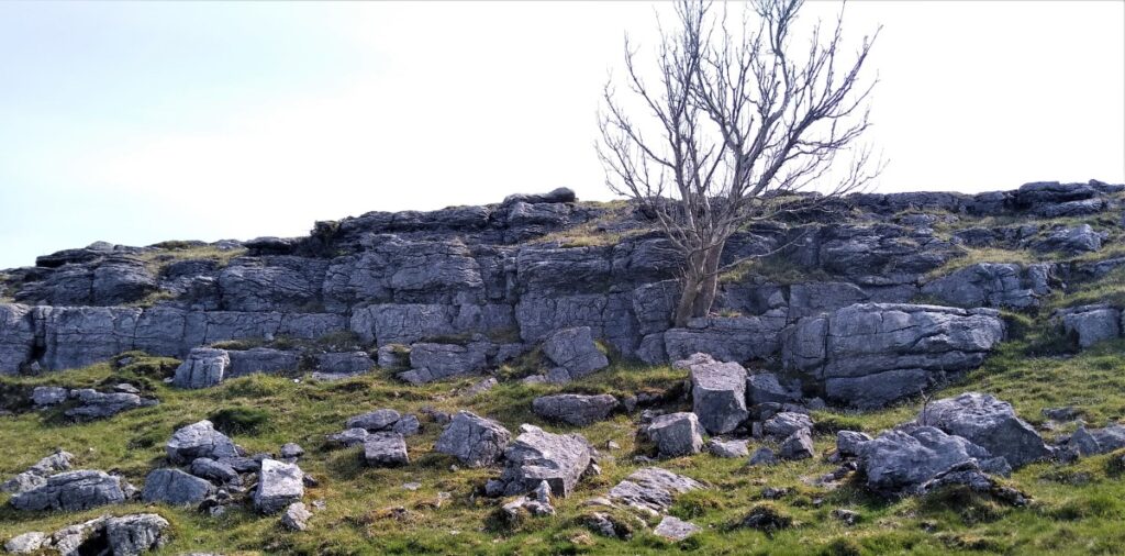
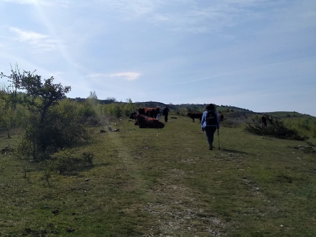
After a short while, the route curves round to the right, and we approach a wooden gate, giving us access to the Hampsfield Allotment. The 104 Hectare woodlands were acquired by the Forestry Commission in 1959 and are particularly noted as a butterfly habitat.
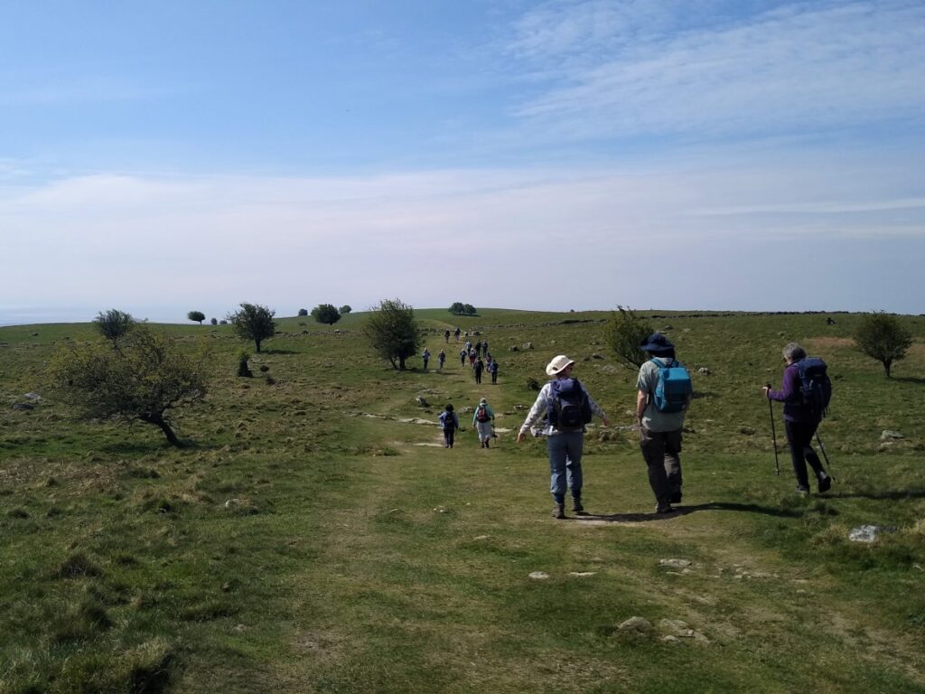
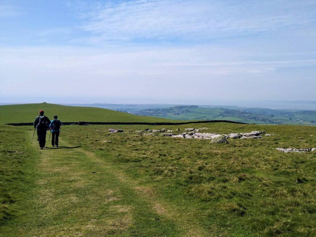
Once within the Allotment, there are a wide choice of paths. To some extent it is not a problem if the wrong one is taken, because as long as we continue to climb, we will arrive at the peak where we find the hospice.
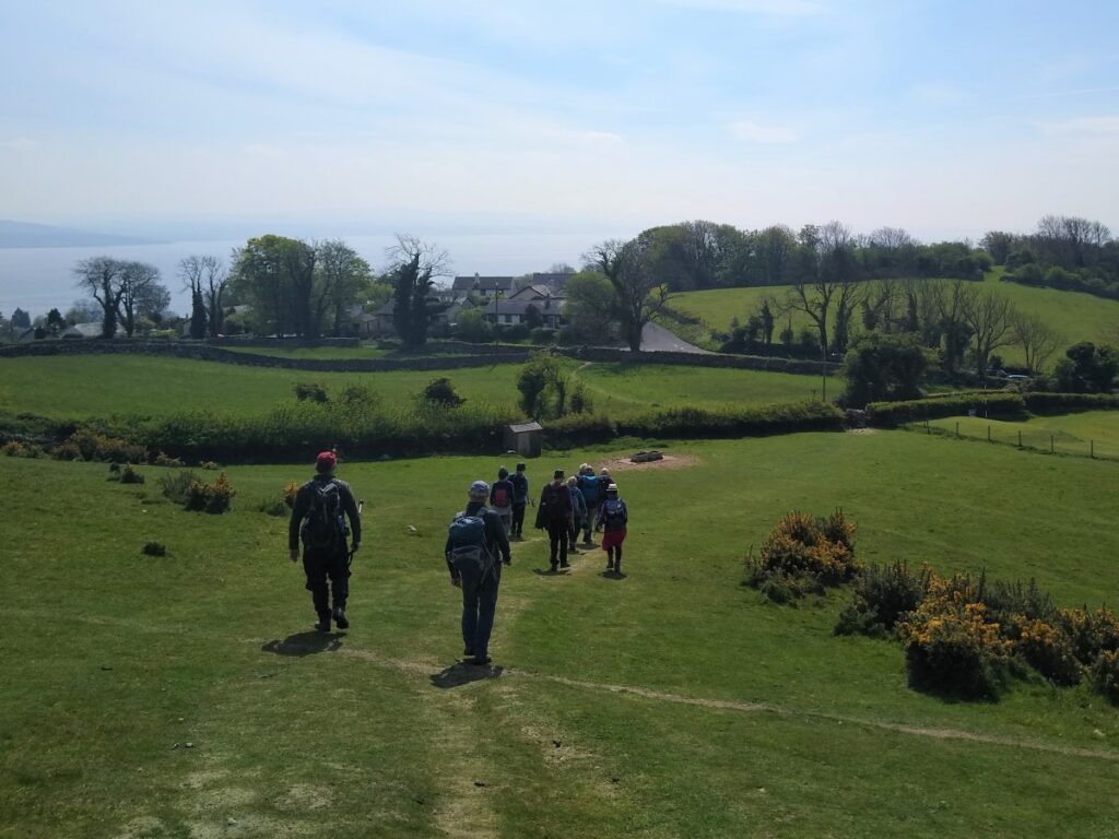
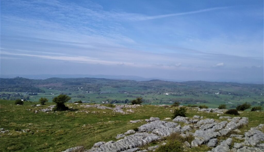
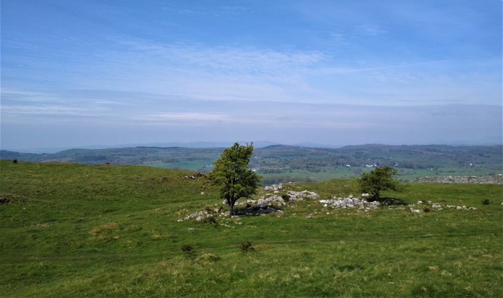
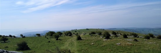
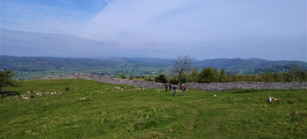
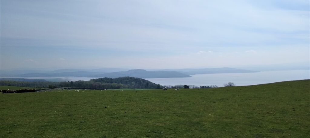
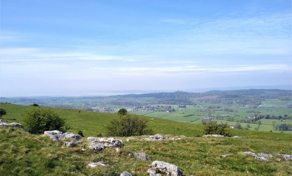
The route we took is probably the clearest: Initially we follow a forest path through well maintained woodland, before entering an area of open fell with excellent views to the north over Cartmel toward the Lakeland Fells and Ulverston. On a clear day the Hoad Monument is visible – it looks like an inland lighthouse.
The Hoad, also called the Sir John Barrow Monument is a 30.5 m tower at the top of Hoad Hill to the north-east of Ulverston. It commemorates Sir John Barrow who was born in Ulverston in 1764. Sir John was a founder member of the Royal Geographical Society and Second Secretary to the Admiralty. The monument, which was paid for largely by public subscription was erected in 1850 at a cost of £1250. Hoad Monument is sometimes open during the summer months – but only when a flag is flying outside the monument.
The monument is not a lighthouse and has never had a functional light. However, it was designed to resemble one, and is similar to the third Eddystone Lighthouse (Smeaton’s Tower). The hollow tower can be ascended via a spiral stone staircase of 112 steps. At the top, eight glazed apertures provide a 360-degree panorama of the Furness Peninsula, Morecambe Bay and the southern Lake District.
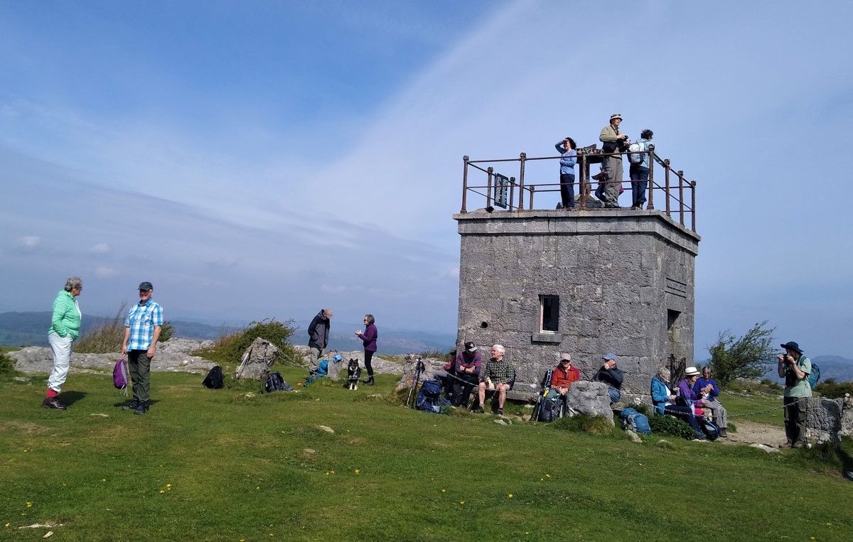
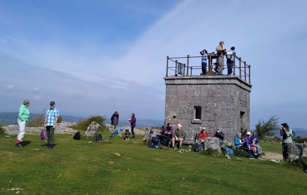
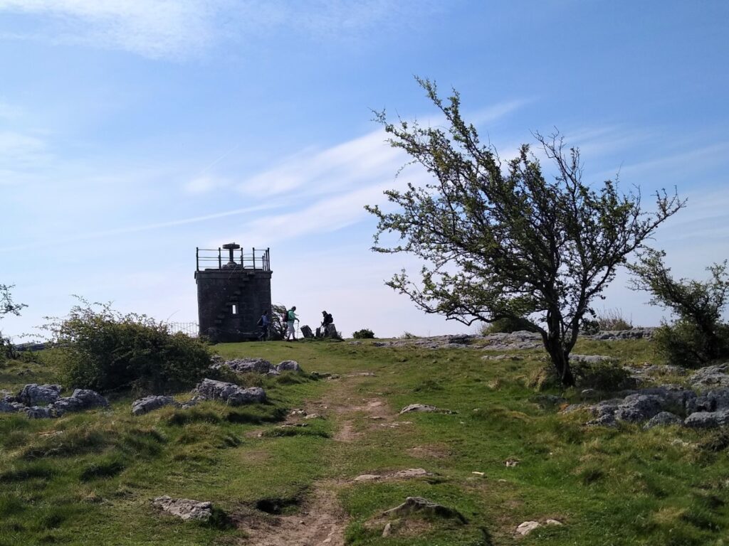
Our walk continues uphill, through scrubby pasture – grazed by cattle that are well used to walkers, through a gate and then a stile onto flatter land with the square stone hospice eventually becoming visible ahead of us.
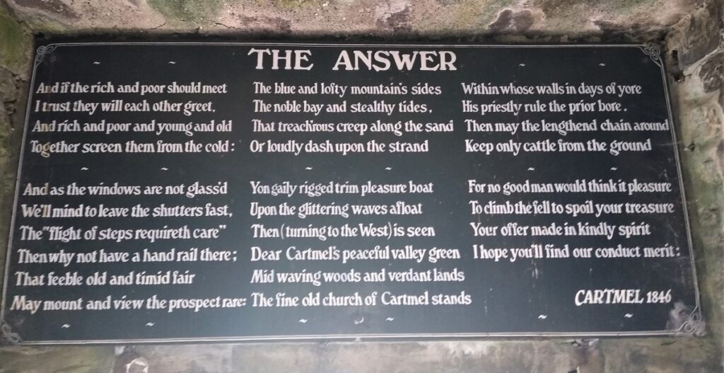
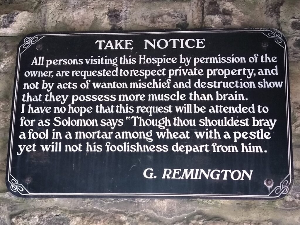
The Hospice was built in either 1834 or 1846 – the date is unclear and papers indicating both can be found in archives. What is not disputed is that it was erected by the Reverend Thomas Remington, Vicar of Cartmel from 1835-1854 – perhaps suggesting that the later date is more likely. Remington built it as a shelter for travellers crossing the fell, and as a thank offering for all the beauty he had seen there on his daily climb up to the summit from his home at Aynsome in the Cartmel Valley.
The iron railing and rail up the steps were added between 1866 and 1892 by the family of Remington. Older guidebooks and newspaper descriptions refer to the steps needing a rail – it must have been quite tricky climbing them before this was added.
The Hospice (the original meaning of the word being a shelter rather than a health care facility) is a stout four sided construction, about 6m high, with stone bench seats and a fireplace inside – Remington, or his later descendant also provide a measure of moral guidance via a series of sign boards on the interior walls.
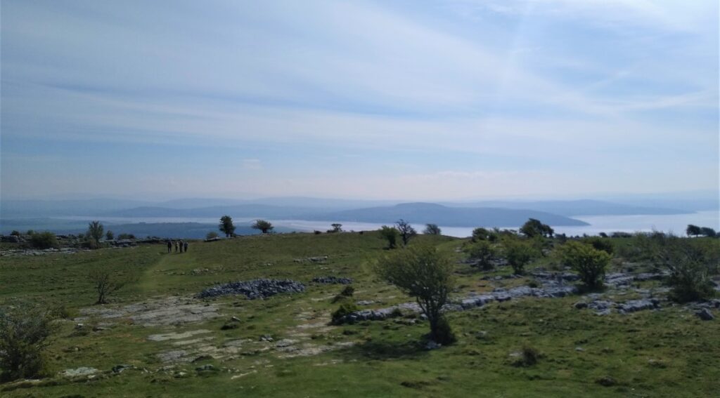
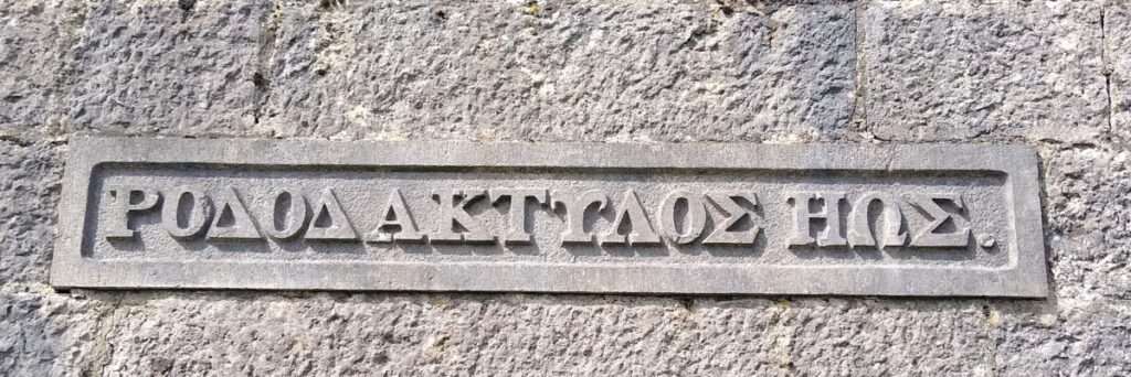
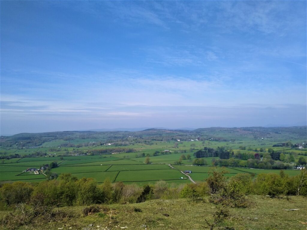
The hospice offers one of the best ‘summit’ views available without a great deal of effort, giving a 360 degree panorama – from Ingleborough to Helvellyn and beyond. The Victorian poet Edwin Waugh described the views as “indeed glorious, both in variety of character and extent of range. Fertile, peace-breathing valleys; old castles and churches, and quaint hamlets and towns, —eloquent relics of past history; lonely glens, rich parks, and forest steeps; picturesque homesteads, in pleasant nooks of shelter; beautiful estuaries; the fresh blue bay; bleak brown moorlands; wild craggy fells; and storm-worn mountains, each different in height and form, the grand old guardians of the magnificent scene.” He visited on a clear day.
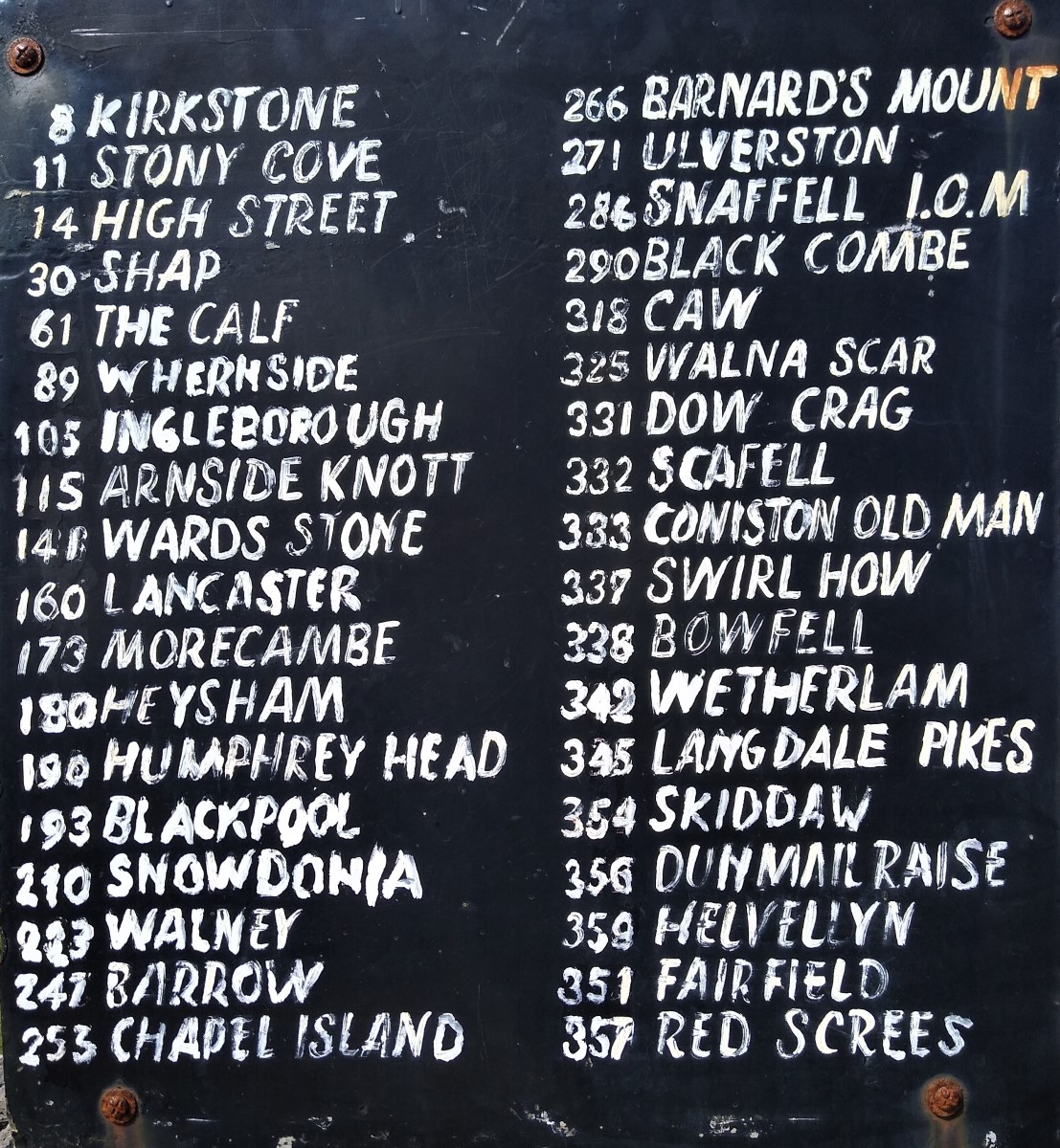
On top of the Hospice is a viewing platform with a wooden pointer that revolves on a plinth. Users line the pointer up with a hill, read the compass bearing on the iron hoop, and then look at the list on the board to see which peak corresponds with their bearing. This wasn’t an original part of the Hospice, Victorian photographs show the Hospice without it, and it is thought that the installation was a labour of love made by a retired railwayman called Garstang.
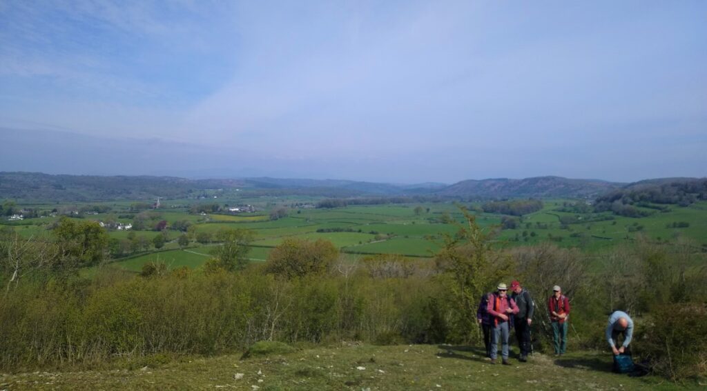
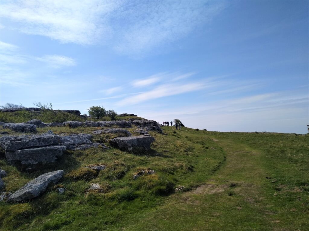
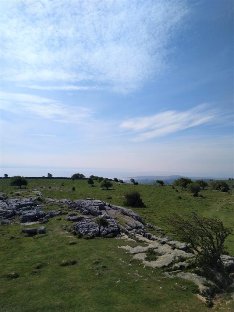
Our path continues South from the Hospice, crossing a stone wall at a stile, before travelling along the flattish ridge of Hampsfell (which as an aside was referred to on older maps as “Hampsfield Fell”), until we reach a point where the path forms a Y shaped branch. We take the right hand route, heading for the smaller peak at the end of the ridge. In fact, it would not matter too much if we took the other route – both paths come together again at Spring Bank, but the right hand route offers the better views.
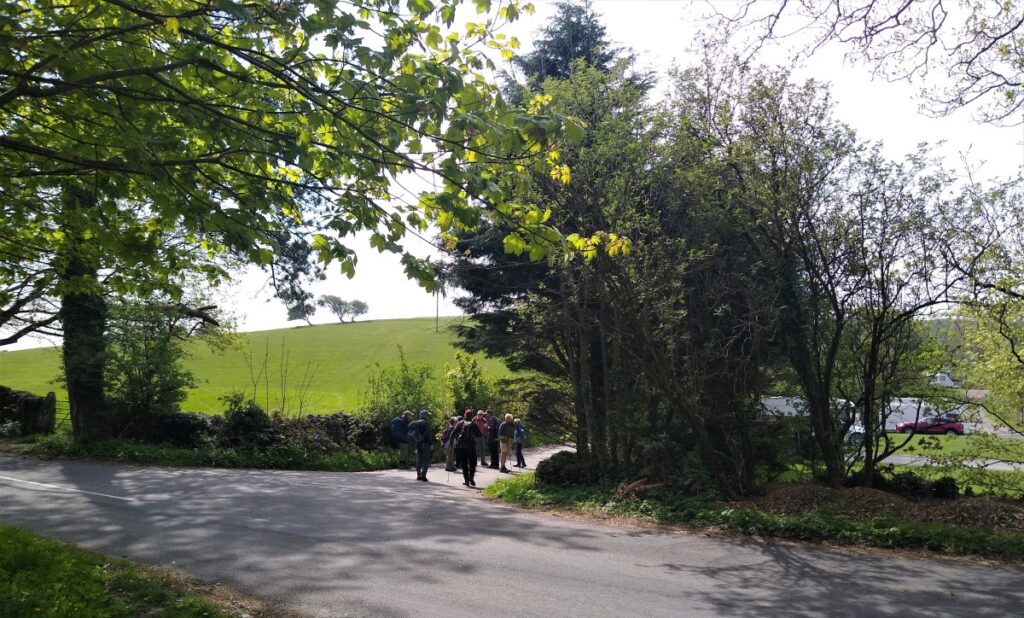
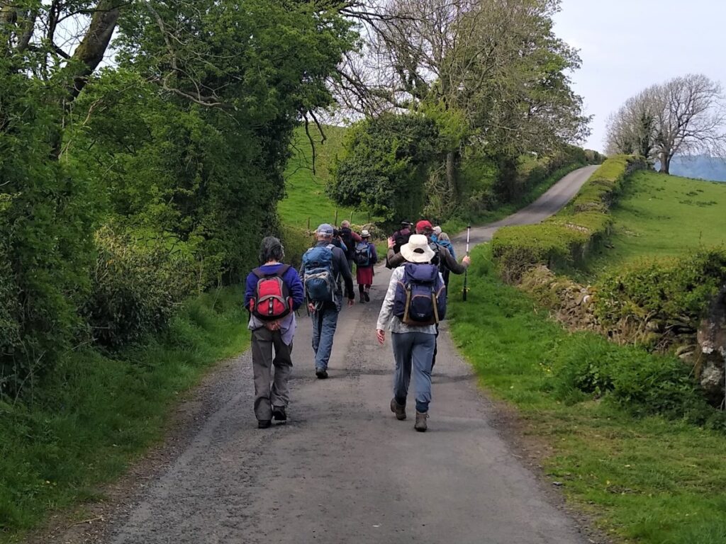
After the last peak, we head downhill and to the left – along clear and well-trodden paths – to skirt around a golf course (on our right) before arriving at a stile onto a minor road. Here we head right, and almost immediately arrive at a junction. We take right again and walk downhill with a church ahead on the right, and a very impressive cemetery on the left.
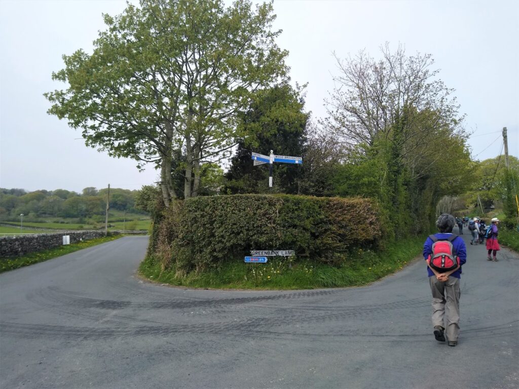
The road leads down to a junction with four routes: Ours is opposite and slightly to the left – and is nothing more than a small lane toward a caravan park and farm buildings.
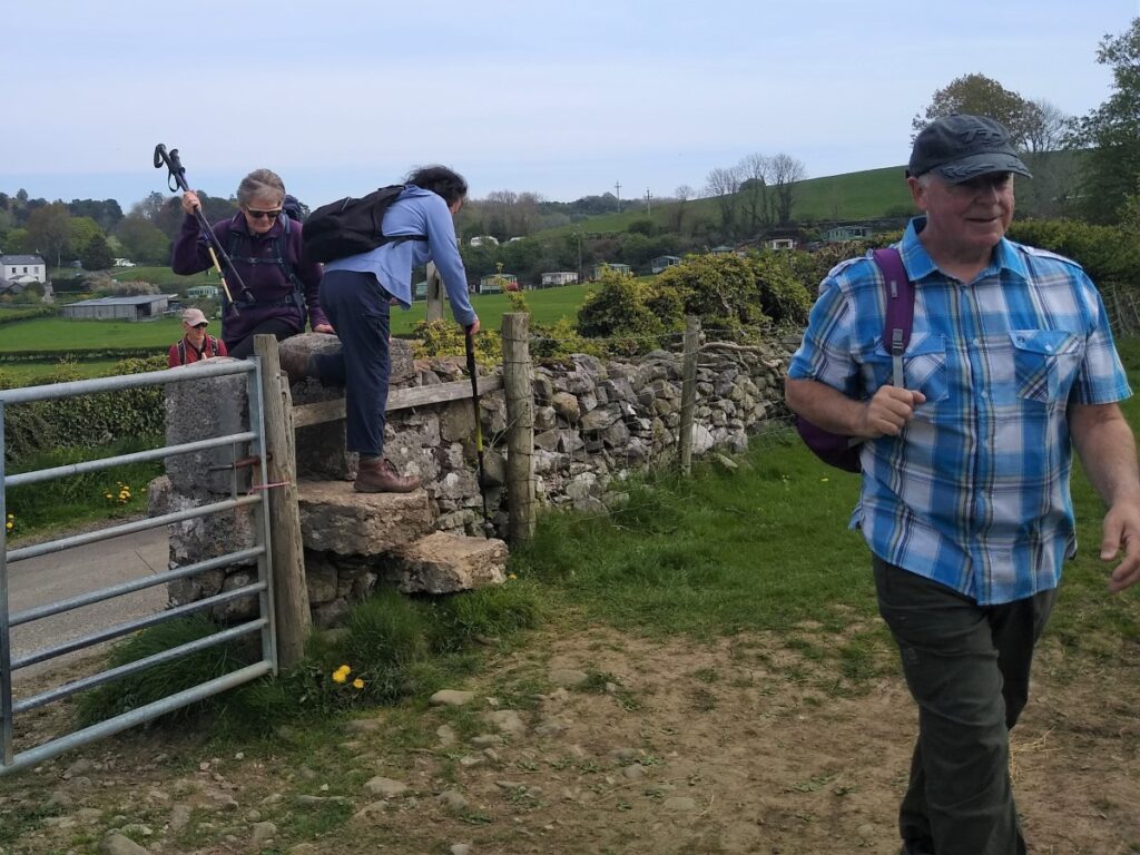
We follow this lane for a while until we see a stone step stile on our left. We cross the stile and head across the field in a Southerly direction until we meet another stile taking us back onto a small road. In fact, this is the same road that we were on before, so if you miss the first stile, that is not a problem.
We now head left at the road, perhaps pausing to take a break at the convenient bench, keeping an eye open for a narrow pedestrian track on our right. This takes us along the edge of the fields over to another road on the outskirts of Allithwaite.
As soon as we arrive at the road, we see a small lane which passes behind some houses opposite our stile, and this is where our route continues, and we follow the lane until a junction with a slightly larger road, where we turn right.
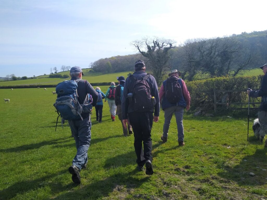
We follow this road for only a short period of time, and soon see a stile on our left leading into a field. We follow the path up the field, with the wall on our left and then pass just to the left of the patch of woodland to find a stile – steep on the far side – which takes us down into a copse and then through to a group of buildings showing on the OS map as Birkby Hall. Here we take the access lane down to the road where we cross and continue over a stile again into open fields.
We cross one field – with the border on our left and then take a sharp right turn to walk around the edge of the second field – now with views of Holker Park and Bigland Scar ahead of us. This brings us down to the road between Cark and Cartmel. This can be busy so take care.
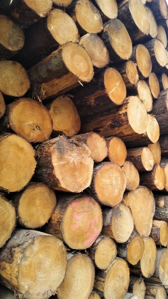
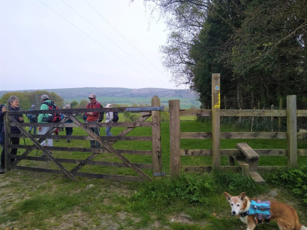
We cross the road and pick up a farm track on the opposite side and just to our right, to arrive at a gate adjacent to farm buildings. Here we take a right turn, to head North, and back toward Cartmel. A second track merges with ours, and we enter an area that until recent storms was a dense woodland. Storm damage was so severe that it has all been harvested, ready for replanting at a later date.
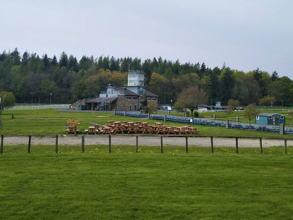
This area currently looks somewhat bleak, but the path remains clear, and we soon exit onto a flat pasture area, along a clear track that takes us into Cartmel Park where car parking and toilets may be found.
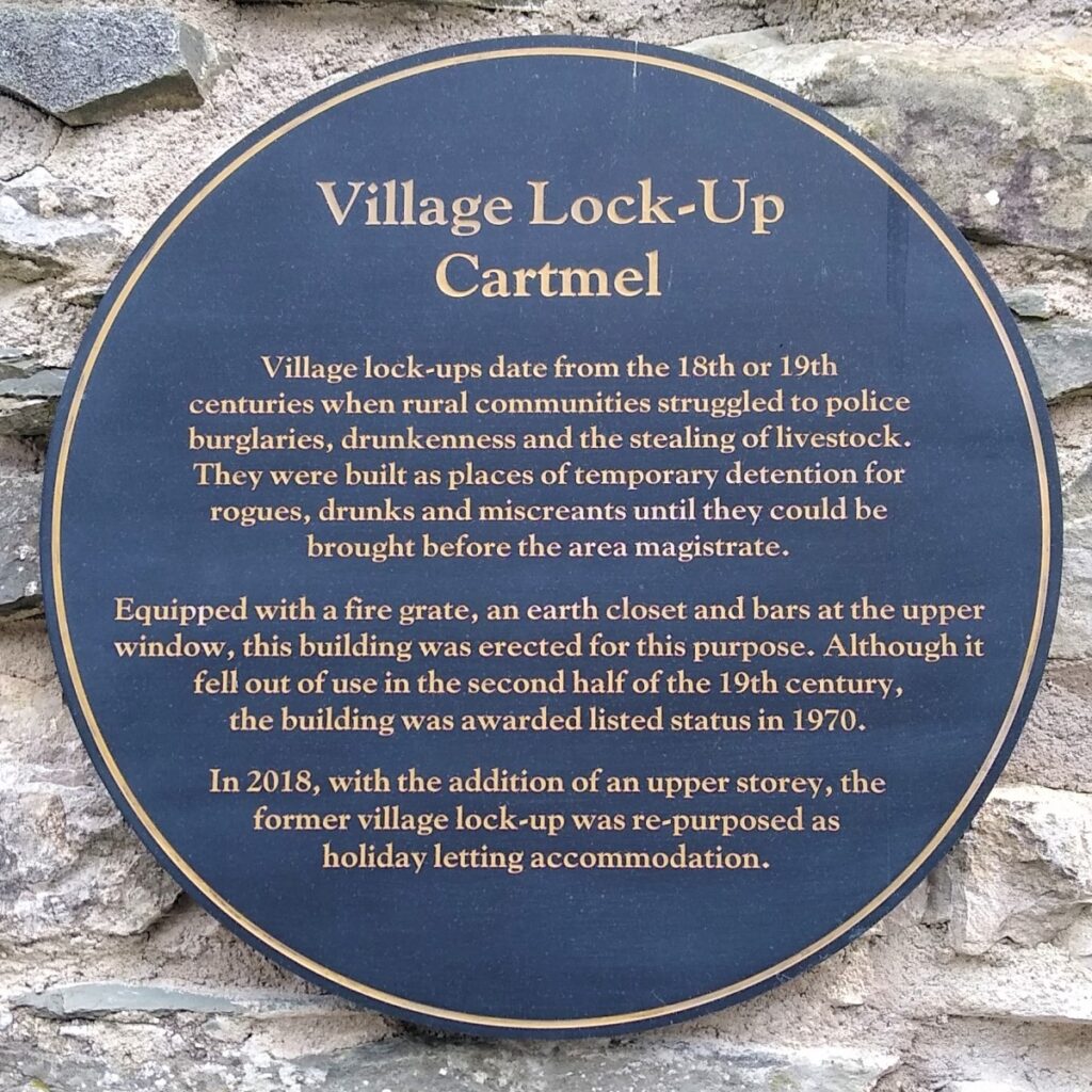
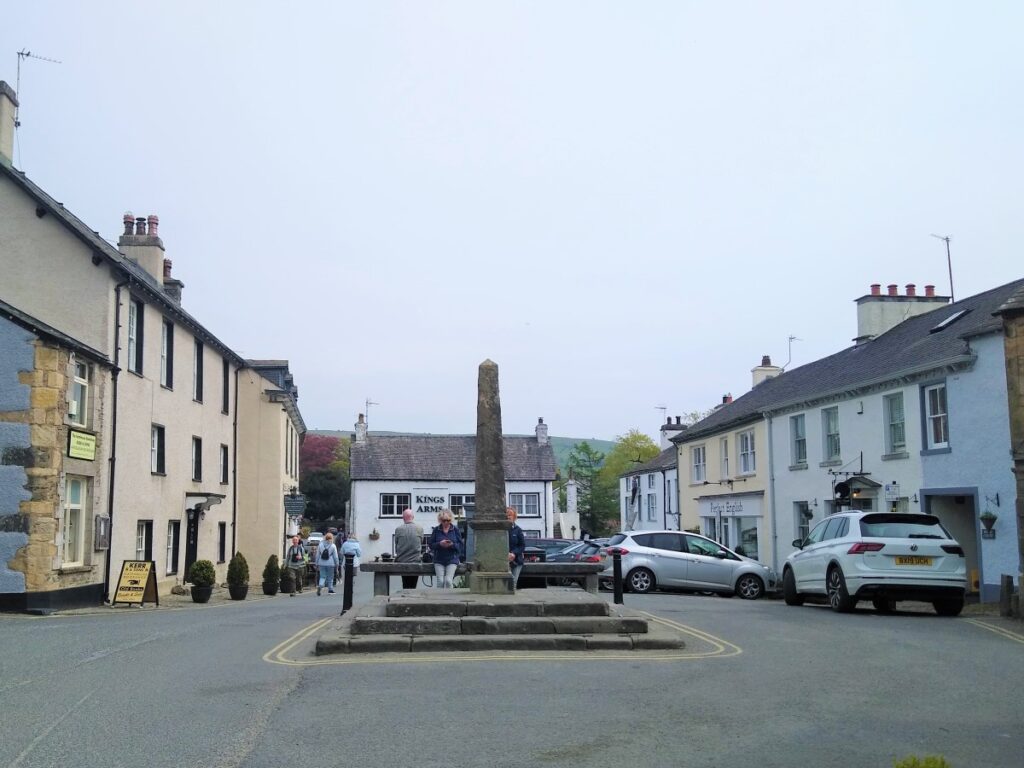
We then exit the park into Cartmel village – taking a few minutes to explore – before heading out on Park View. If in doubt, this is the road that runs along the edge of the racecourse. On the right we pass “Cartmel Jail”.
Such prisons were once a common feature in more remote market towns: A local lock-up is a historic building that was once used for the temporary detention of people in England and Wales, mostly where official prisons or criminal courts were beyond easy walking distance. Lock-ups were often used for the confinement of drunks, who were usually released without any charge the next day, or to hold people being brought before the local magistrate.
Just beyond the jail we see the racecourse on the left, and then notice a fork in the road. We take the road to the right and look out for a stile and gate on the right – which we take.
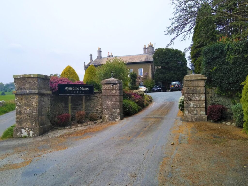
This leads down to a beck called Muddy Pool, and although the ground was dry on the day of our walk, the name is often more apposite. We cross the beck and then follow the field boundary round to a stile onto a minor road where we turn left. This takes us past Aynsome Manor (now an upmarket hotel) and to a point where a track leaves the road on the right.
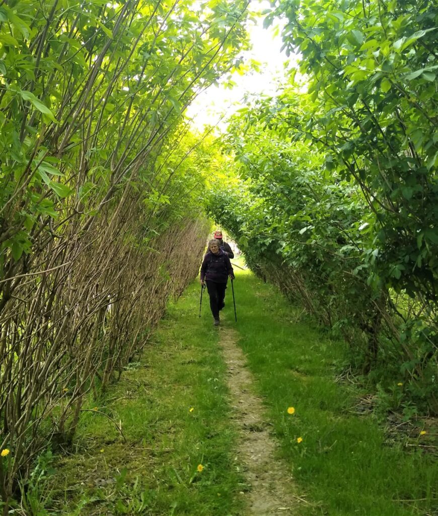
As we take the track through a gate onto open land – where horses may well be being exercised, we see a stile on our right leading into woodland. We cross the stile and take the path through the woodland now heading East. This brings us to a plant nursery where we cross into a field and follow the hedge down to a minor road.
Our path continues on the other side of the road and then heads to a gated stile in the far corner of the field where we re-join the road and turn left. After just a short while on this road, we find the cars and the walk ends.