2022

Whitsundale from Keld

8.1 miles | 13.1 km | 578 m Ascent | 11.0 Naismith miles | Jim Shuttleworth
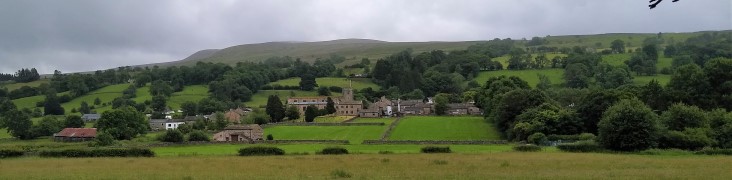
Swaledale is a great place to walk, and Keld is always a good place to start; There is convenient parking at Park Lodge farmyard with a handy tearoom serving locally made ice creams during the summer season.
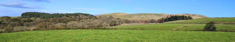
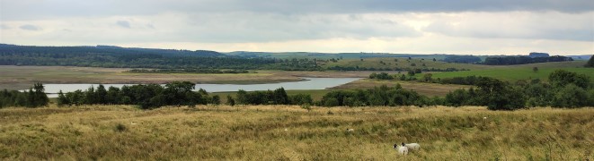
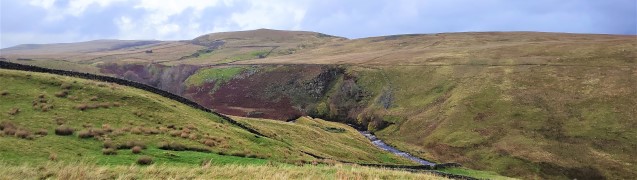
Swaledale is famous for its fast flowing river, and this is so because a number of side dales each with their own river merge with the Swale within a short distance of each other.
As well as Swaledale itself, this moderate walk visits three of the side dales that connect with Swaledale – East Stonesdale, West Stonesdale and Whitsundale.
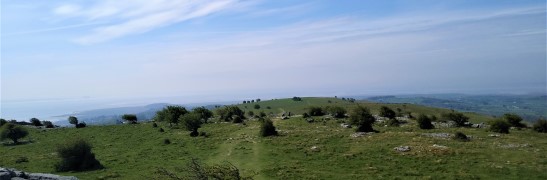
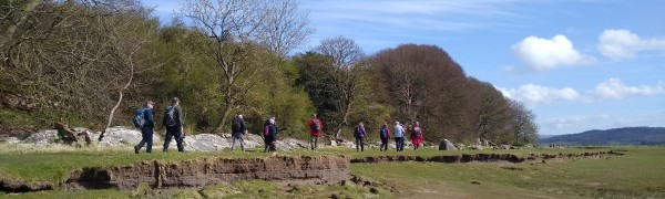
Most of the route is on clearly marked paths – some of them long distance routes, and there is some road walking on quiet roads, so navigation should be simple. Be aware through that Swaledale can be very wet, and as you can see from the gallery, winter walks in this area can damp and windy. Don’t let that put you off though – this is a walk to savour at any time of the year.

Whitsundale from Keld Read More »

Cowan Bridge, Ireby and Masongill

7.5 miles | 12.0 km | 299 m Ascent | 8.9 Naismith miles | Mary & Kate Taylor
Although Bentham Footpath Group regard anywhere in the Yorkshire Dales, the South Lakes or Forest of Bowland as “home”, this walk really is local – and it reminds us just how much wonderful walking lies on our doorstep.
This route takes the form of a figure 8, so there are clear opportunities to walk either loop independently, or to combine them as we have here, to create a moderate walk with great views.
We start with a pleasant stroll along Leck Beck, then take a quiet road up Leck Fell before heading down green lanes to Todgill farm – where the two loops of the walk cross – and from there to Ireby. We then go via Over Hall and Stirragap to Masongill, and back over fields to Ireby again. We then follow a quiet lane back to Cowan Bridge via Leck.

Cowan Bridge, Ireby and Masongill Read More »

Levens And Sedgewick

8.0 miles | 12.8 km | 322 m Ascent | 9.6 Naismith miles | Ed Badley
The Kent estuary and the surrounding hills may not be as spectacular as the Northern end of the Lake District, but they are filled with interesting history, great views, and much quieter paths.
This walk is classed as moderate – simply because it’s fractionally longer than our 12 km break point, and takes in riverside paths, a waterless canal, 16th century halls, an Elizabethan manor house, a deer park, and a herd of Bagot Goats.
Pick a bright autumn day and the woodland colours are spectacular – as you can see in the gallery.

Levens And Sedgewick Read More »

Stocks Reservoir

7.6 miles | 12.3 km | 329 m Ascent | 9.2 Naismith miles | Don Cartledge
Stocks Reservoir is just a short drive from Bentham over interesting roads with great views, and when you get there, the choice of walks is impressive.
This walk starts from the causeway linking the two parts of the reservoir, and then loops around the southern, and much larger, part of the reservoir.
At the time of the walk the reservoir levels were deliberately very low – as part of engineering works to increase capacity in the long term.
On the way round this relatively flat route, we see signs of the buildings that were abandoned to enable construction, traces of the railway that enabled materials to be imported, and foundations for the village that temporarily housed the army of builders.

Stocks Reservoir Read More »

Barbon Low Fell

7.6 miles | 12.2 km | 553 m Ascent | 10.4 Naismith miles | Alison Kinder & Colin Stroud
Several Bentham Footpath Group walks start in or pass through Barbon – a reflection of the fact that this pretty village is accessible, and a good base for walks up onto the surrounding fells.
This one explores Barbon Low Fell: We start at the Community Hall in Barbon, and then take the riverside path through Barbon Park until we find the footbridge over Barbon Beck. From there we take the Footpath up toward Bull Beck, but before we get that far we strike out over access land to Hoggs Hills where we enjoy great coastal views.
Finally, we head down to Fell Garth, and strike out North through fields back to Barbon.

Barbon Low Fell Read More »

Bleasdale Fells, Fair Snape Fell and Parlick

8.8 miles | 14.2 km | 594 m Ascent | 11.8 Naismith miles | Mary & Kate Taylor
One of the many advantages of living in Bentham is easy access to the Forest of Bowland.
We start with a steep climb up the imposing Parlick Hill, rewarding ourselves with a break at the summit where we enjoy westerly views over Lancashire toward the coast and easterly across the Forest of Bowland. From there, we walk the ridge of Blindhurst Fell over to the summit of Fair Snape Fell, where a convenient stone shelter hosts a lunch break.
We then back track a little to take a zig-zag path down the side of the fell to Higher Fair Snape, before striking out across fields toward Holme House. Just before we get that far though, we divert left to Bleasdale with an optional visit to the circle before taking a gentle low level path through pastures back to fell foot and the start of the walk.

Bleasdale Fells, Fair Snape Fell and Parlick Read More »

Dent

8.0 miles | 12.9 km | 466 m Ascent | 10.3 Naismith miles | Rick Clapham
Dentdale and Dent Village are stunningly beautiful, but perhaps because the roads into them are all minor, they tend to be less crowded than we might expect – a good thing in our books.
This walk combines the flat tranquil meadows along the Dee with a stroll through the village and up Flintergill where we take the ancient Green Lane known as the Occupation Road, enjoying long distance views down Barbondale, and over to the Howgills.
At the end of the Occupation Road, we turn right toward Gawthrop, and then loop round Stone Rigg, now with views up Dentdale, before following a path down to Dillicar where the Dales Way leads back to our start.

Dent Read More »

Hampsfell And Cartmel

8.0 miles | 12.9 km | 322 m Ascent | 9.6 Naismith miles | Ed Badley
Several of the Bentham Footpath Groups walks centre on Silverdale, and we often enjoy views over the Kent estuary toward Hampsfell. In this walk we climb Hampsfell and look the other way, using the viewing platform at the Hospice as our highpoint.
As well as the hospice and the views from there, this walk includes a return trip through quiet fields and woodlands before returning to Cartmel at the racecourse. We then enter the village centre and return to our start via Aynsome Manor and Old House Wood.

Hampsfell And Cartmel Read More »

Warton Crag from Silverdale

8.7 miles | 14.0 km | 452 m Ascent | 10.9 Naismith miles | Rick Clapham
Another Silverdale walk from the Bentham Footpath Group – but this one takes us over to Warton Crag and the Beacon, with great views over Morecambe Bay at many points.
We pass a Victorian folly, a number of interesting sites of industrial archaeology, a failed attempt to reclaim land from the sea, and an iron-age hill fort.
The walk is classed as moderate mainly because it’s quite long, and although there is some climbing, the paths are generally good – at least in the weather that favoured us in April 2022.
Be aware that parts of the walk are on the edge of the bay so can be muddy in wet weather and/or during high tides.

Warton Crag from Silverdale Read More »

Rydal Water

7.7 miles | 12.5 km | 756 m Ascent | 11.5 Naismith miles | David & Sheila Longton
Rydal Water is one of the smaller lakes in the Lake district at just 3/4 mile long and 1/4 mile wide.
We start at the lane next to the White Moss car park, then head up to White Moss Common, before tracking around the hillside below Alcock Tarn. We cross the A591 and take a low level path into Grasmere before re-joining the road and taking the pavement along the edge of the lake for a while.
We pick up a pleasant path down into the woods and follow the River Rothay to the western end of Rydal water then head uphill to Rydal Cave, before following the path down to Rydal Mount and Rydal Hall. From there we take the Coffin Route west toward Nab Scar, and White Moss Common, which leads us back to our start

Rydal Water Read More »