Jump to . . .Step by Step | OS Map | Downloads | Gallery | Fly through
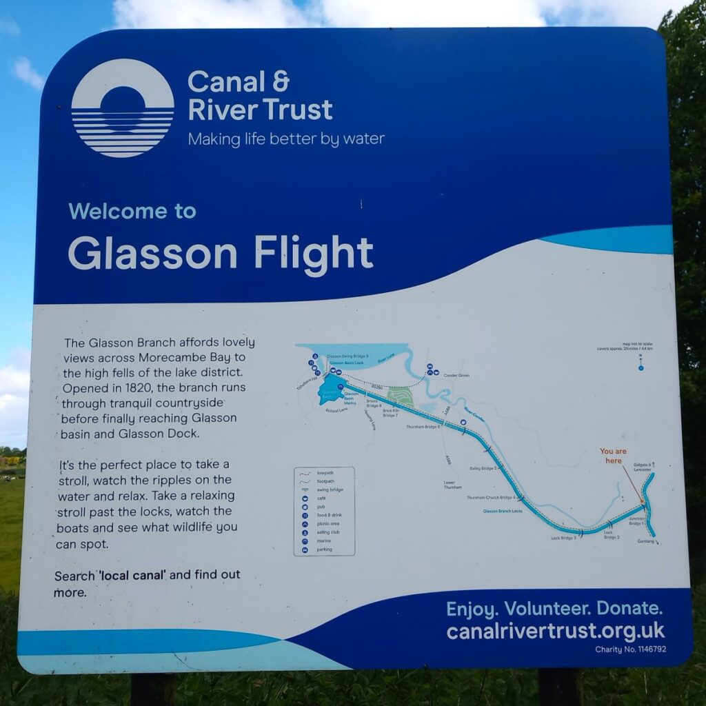
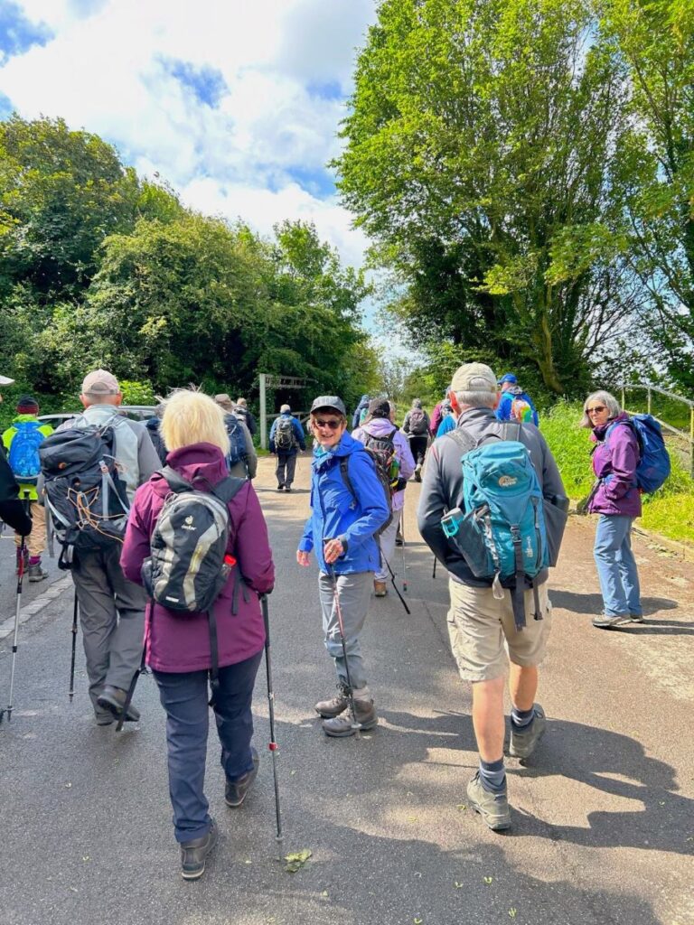
The Lancaster Canal features in a number of Bentham Footpath Group Walks – not entirely surprising given that Bentham has a Lancaster postcode, and canals generally offer scenic walking opportunities. This time, we explore Glasson Dock and the Glasson Branch – one of the last parts of the UK canal network to be built, before the railways largely replaced water transport.
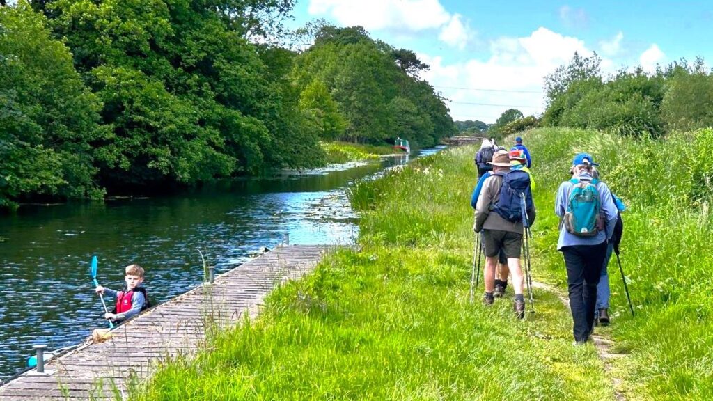
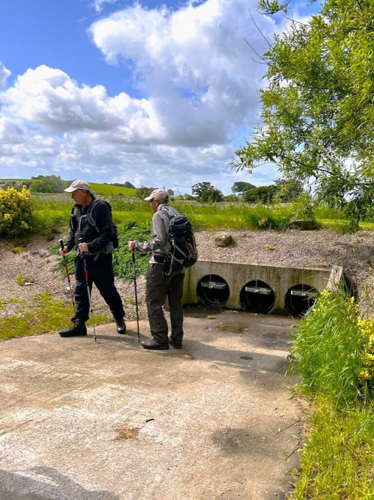
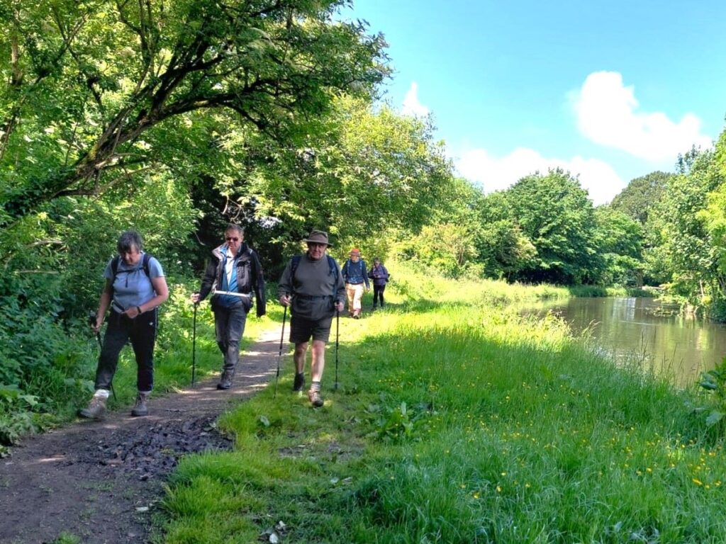
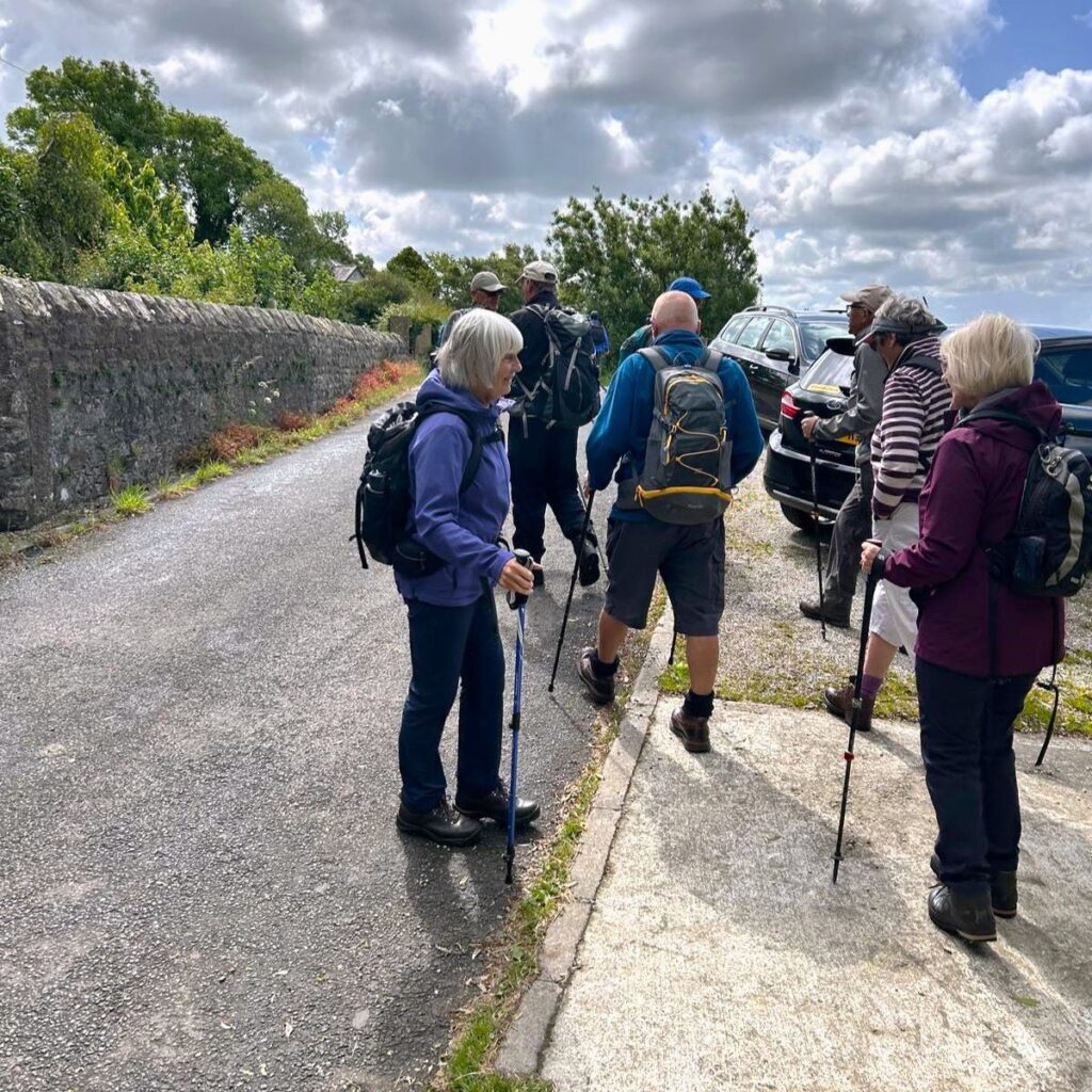
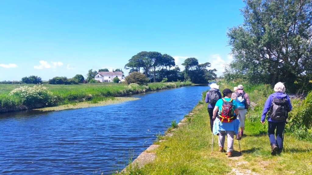
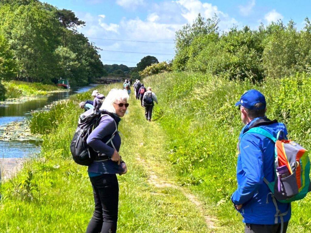
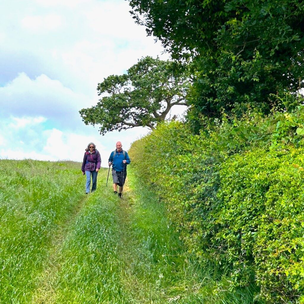
From convenient parking at Conder Green, we first head inland first through farms and up to the Lancaster Canal at Galgate. We then go south along the towpath until we get to the junction with the Glasson Arm, which we follow all the way down to Glasson Dock – one of the few places where our canal network connects to the sea.
The return from the Marina and Dock is via a disused railway line offering great views of the estuary, and there are several opportunities along the route to combine this easy and generally flat walk with pub lunches.
- Total distance 9.6 km (6.0 miles)
- Total Ascent 67 m
- Easy walk
Step-by-Step
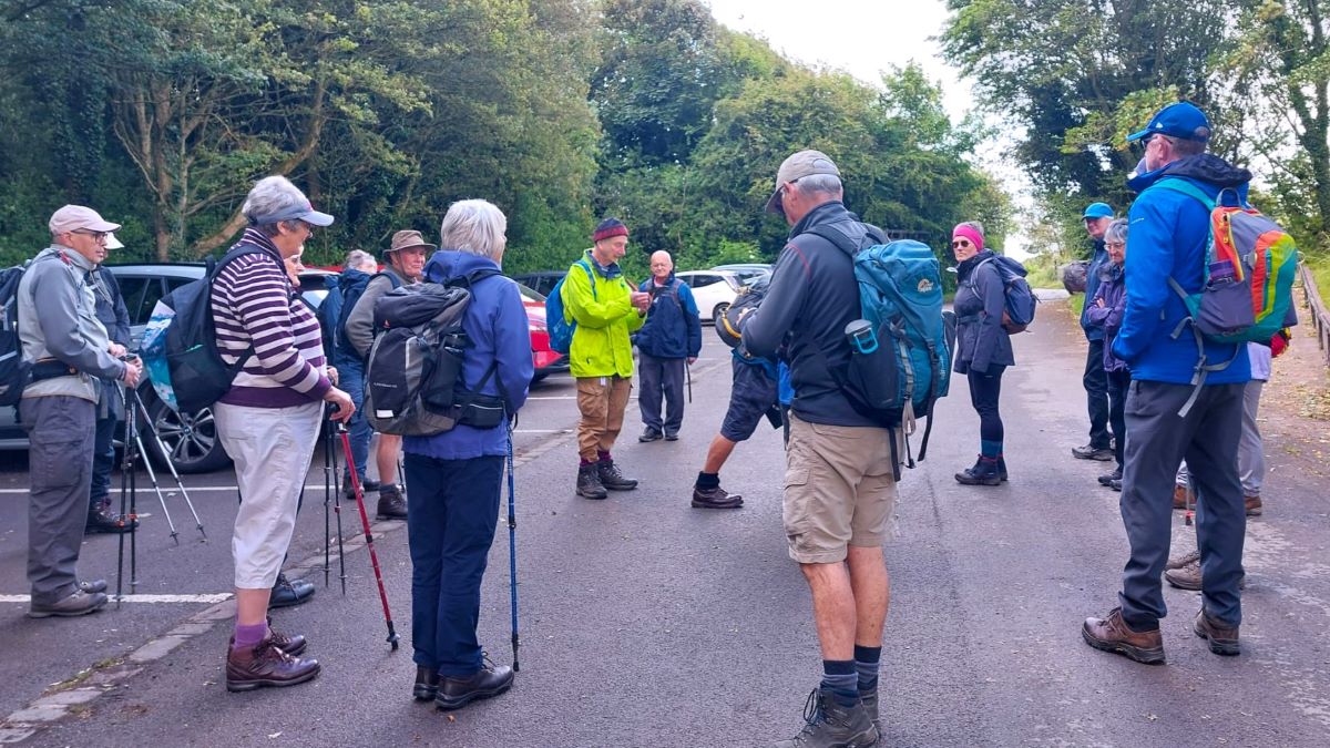
We start at Conder Green, where the picnic site and car park provide a convenient place to start a walk. This is on a disused railway path which runs from Lancaster to Glasson, so as well as walks to Glasson, it is a good base for other treks. You could try going to Lancaster to the north or Plover Scar and Cockersand Abbey, slightly further south. The latter uses the Lancashire Coastal Way path. Click here to find out more about this path, and here for a pdf leaflet.
Conder Green is easily found – it’s on the A588 south of Lancaster with good links to the M6. If you ae using Satnav to get there the address for the parking is Corricks Lane, Conder Green, Lancaster LA2 0AN. The OS Grid reference is SD45695614, whilst the What-3-Words tag is dinosaur.celebrate.dodges
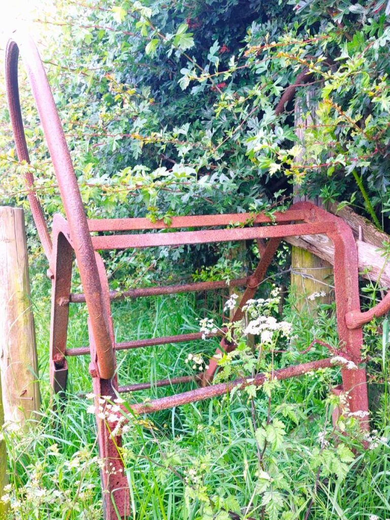
The car park is at the site of what was once Conder Green railway station: In 1887, the London and North Western Railway Company, built the Lancaster to Glasson Dock Railway in an attempt to prevent the decline of both Glasson and Lancaster as commercial ports. The station at Conder Green opened in 1889, but as a result of declining use the passenger service was withdrawn in 1930, although the daily goods train continued until 1947. The line was finally closed in 1964.
The Station Master’s House in Glasson and the Crossing Keeper’s Cottage at Conder Green are the only railway buildings that remain, whilst the original level crossing posts which mark the entrance to the car park at Conder Green also indicate railway history.
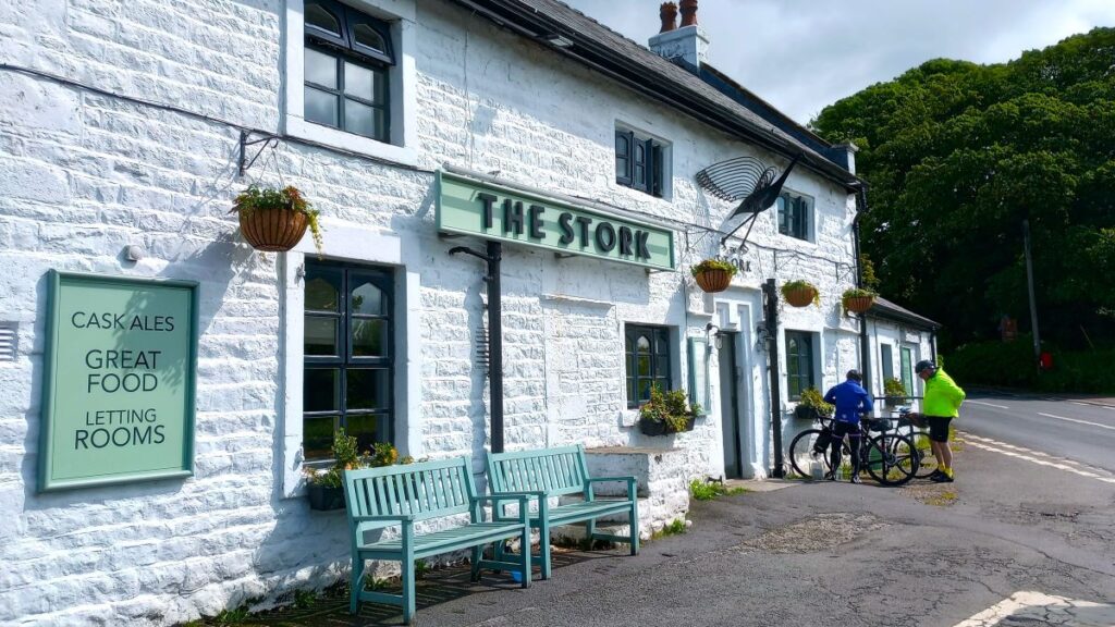
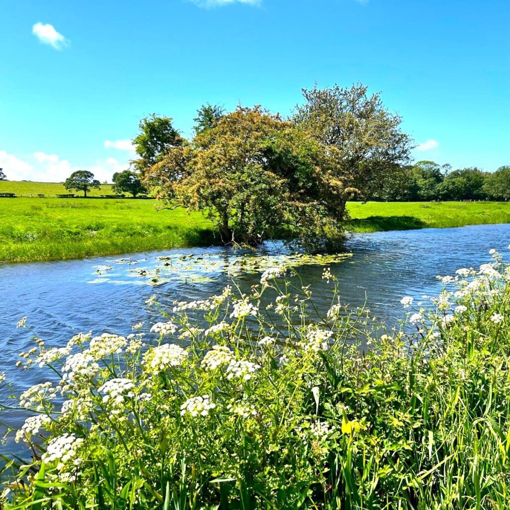
From the car park – which is chargeable but good value – we head back the way we drove in and walk through Conder Green back to the main road at the Stork Hotel. As we walk along Corrick lane, look to the right and notice the River Conder meandering down to the Lune Estuary – the river is important to the working of the canal in the sense that it provides most of the water to replace that lost as boats traverse the locks between the main line of the canal and Glasson Dock. The name Conder can be traced back to at least the 13th century and is derived from old Celtic words meaning crooked waters.

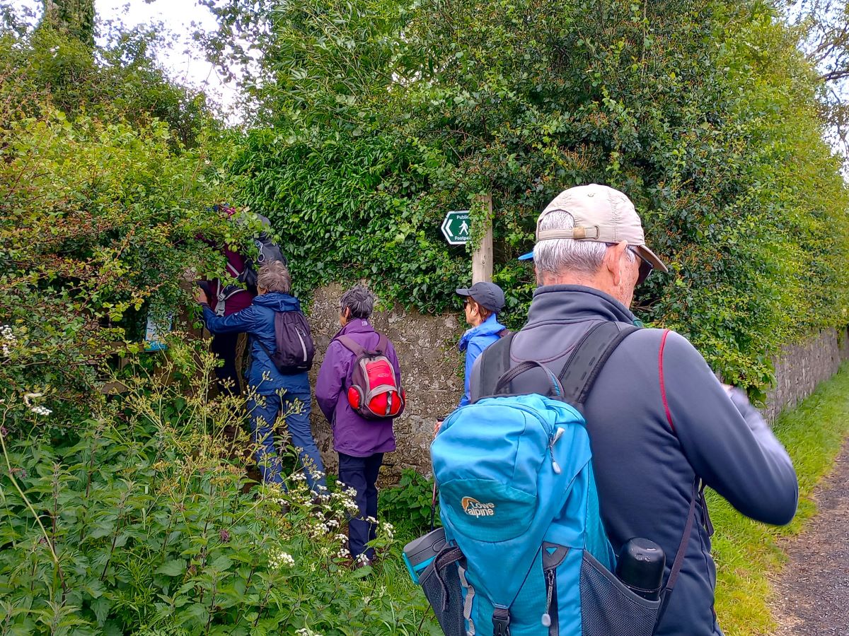
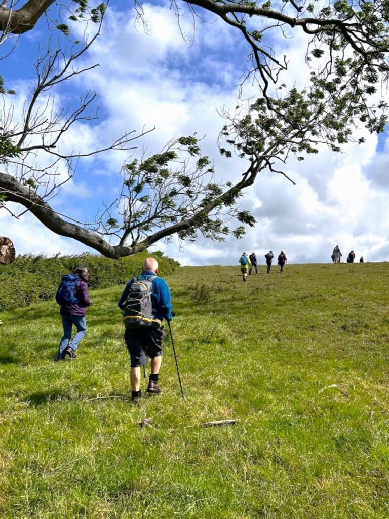
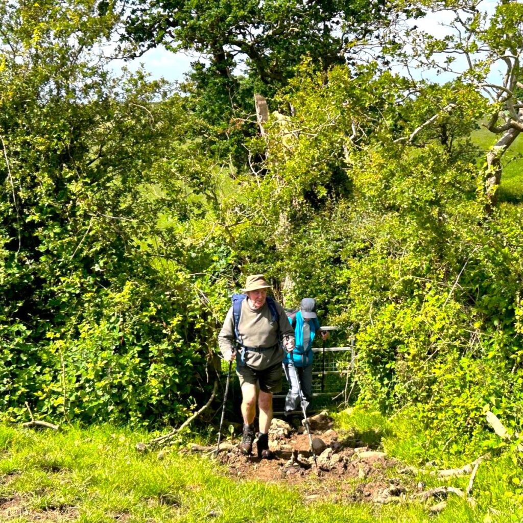
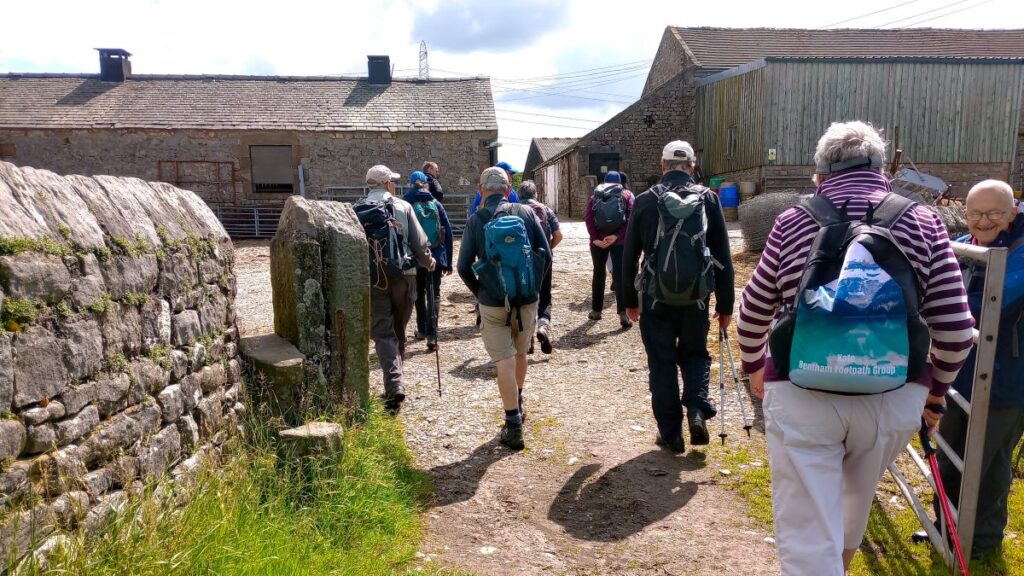
Once back at the A588, we turn left as if heading toward Lancaster, and look for a junction with a minor road 50m ahead of us. At that junction, we take a sharp right turn onto a minor road walking no more than 150m until we find a footpath on our left taking us east through farmland and up to the main line of the canal.
We walk to the left of Websters farm, and then to the right of a patch of woodland – this is Crow Wood. As we do so, don’t be tempted to take the path which crosses ours – keep heading east.
200m after Crow Wood we approach Parkside farm – that path goes right through the cluster of farm buildings, and is well signed so navigation should not be an issue, then once past the farm we climb gently toward another woodland – this one is Forerigg Wood.
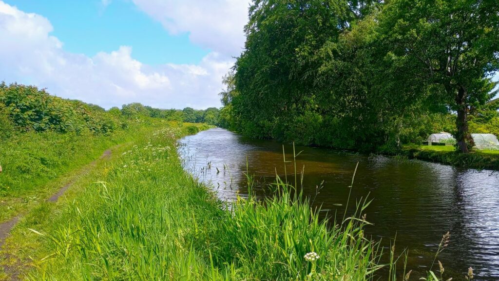
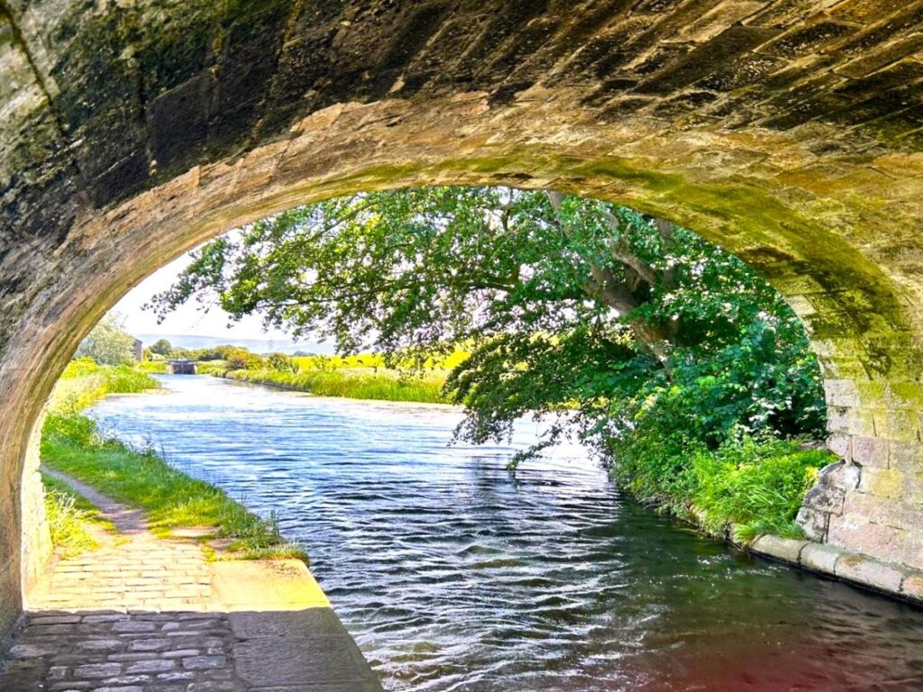
The path goes through the wood – at a narrow point so we leave the trees behind almost as soon as we have entered them – and walk a further 100m southeast to meet the Lancaster Canal towpath, where we go right.

The Lancaster Canal dates back to the end of the 18th century, during a brief period now referred to as “canal mania”. Following the huge commercial success of the Bridgewater canal, linking Coalfields in Worsley to Manchester (which opened in 1761), entrepreneurs and merchants across the country planned their own canals to replicate the success of the Bridgewater. The earlier canals during this period generally had a clear commercial justification, but as the locations on canals prospered it inevitably generate fear in those not connected to the network that the new age would leave them behind. This led to a number of hastily prepared canal schemes that were based on poorly surveyed routes and with inaccurate costings. The Lancaster was arguably one of these.
Click here to see the Canals and Rivers Trust page for the Lancaster Canal, and here to see a Wikipedia article
The commercial reasons for its construction were sound – Lancaster needed much more coal, and at a more affordable price, whilst there was a huge demand for limestone in the industrial areas of Lancashire. Both demands could be satisfied by linking the Lancashire coalfields with Kendal – hence the nickname of the Lancaster – the Black and White Canal.
The Westmoreland Canals Act 1792 received royal assent on 11 June 1792, gave permission for making and maintaining a navigable canal, from Kirkby Kendal in the county of Westmorland, to West Houghton in the county palatine of Lancaster.
The original plan required significant aqueducts in Lancaster and over the Ribble, but the complexity and cost of the Lune aqueduct was so great that insufficient funds remained for the Ribble works. As a result, the canal ended up being isolated from the rest of the UK network, and thus unable to deliver on its initial promise.
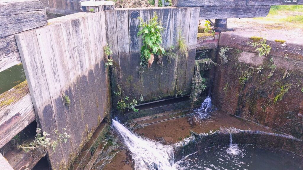
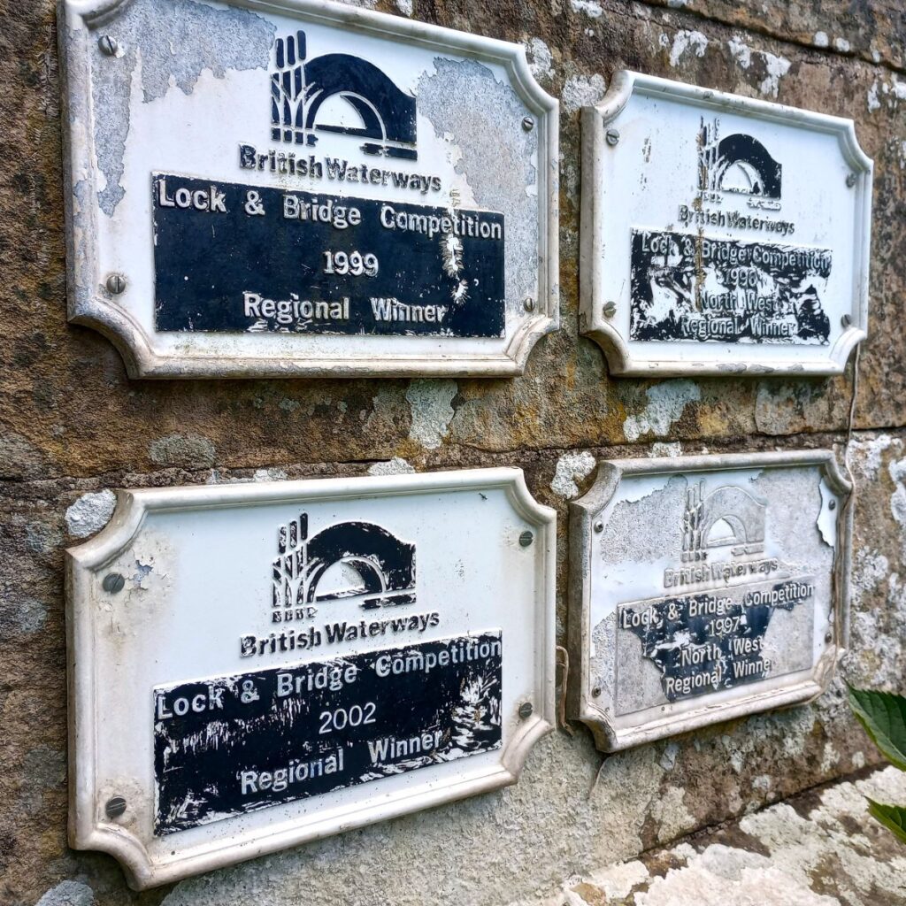
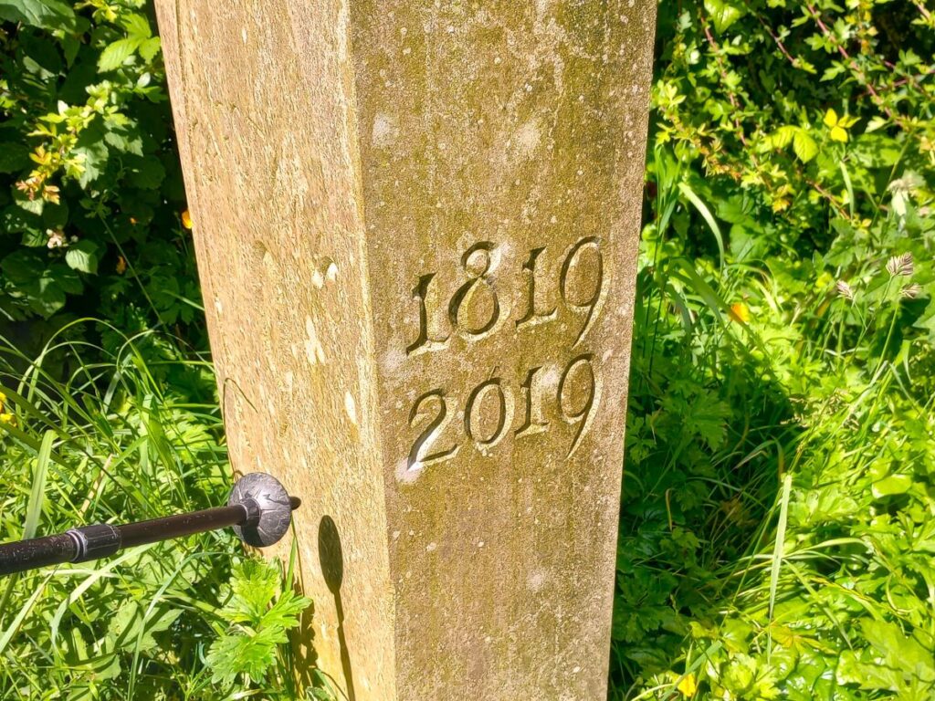
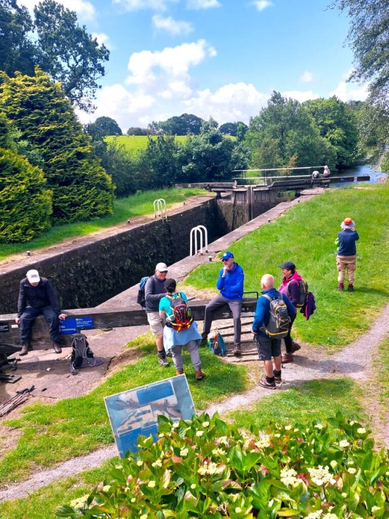
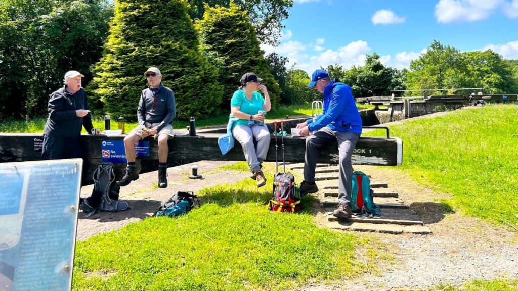
A second flurry of optimism was created when the Glasson Arm was created to link the (existing) docks at Glasson to Lancaster which was becoming increasingly silted and therefore unable to accept as much cargo as the thriving city demanded. Work on the new arm commenced in 1823. It was finished in December 1825, with six locks carrying the canal down 52 feet (16 m) to the basin and dock.
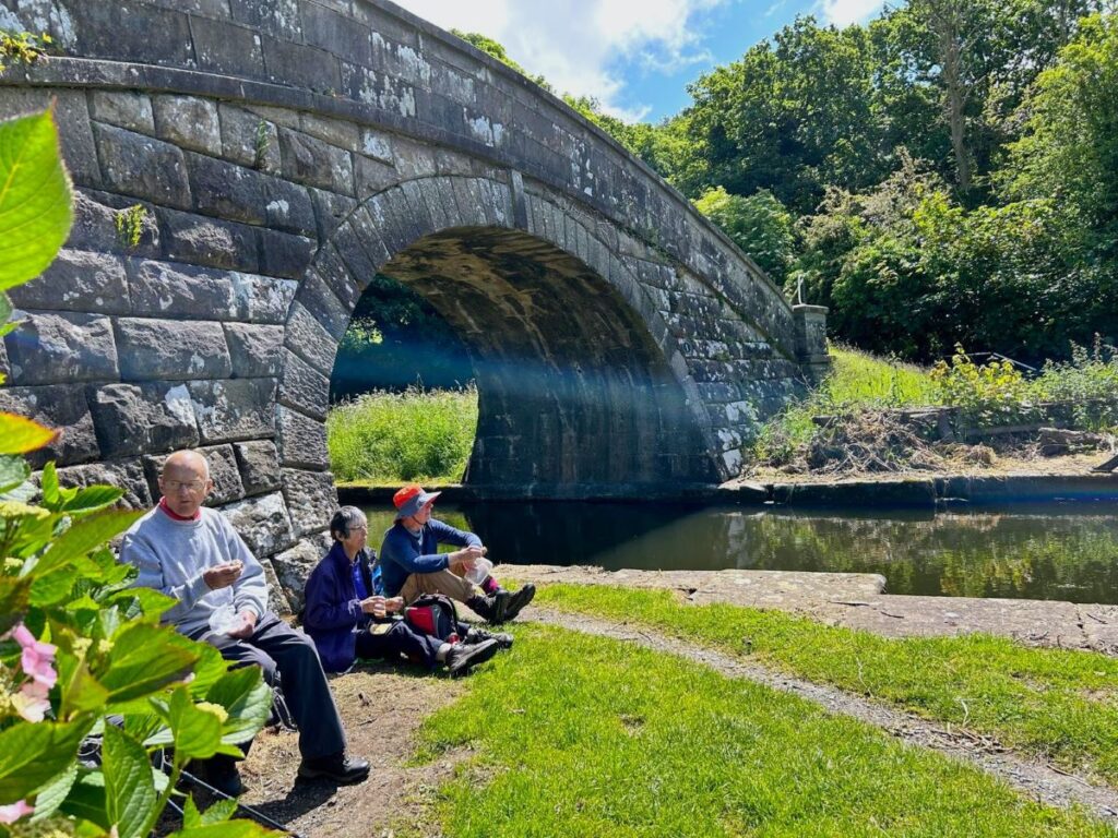
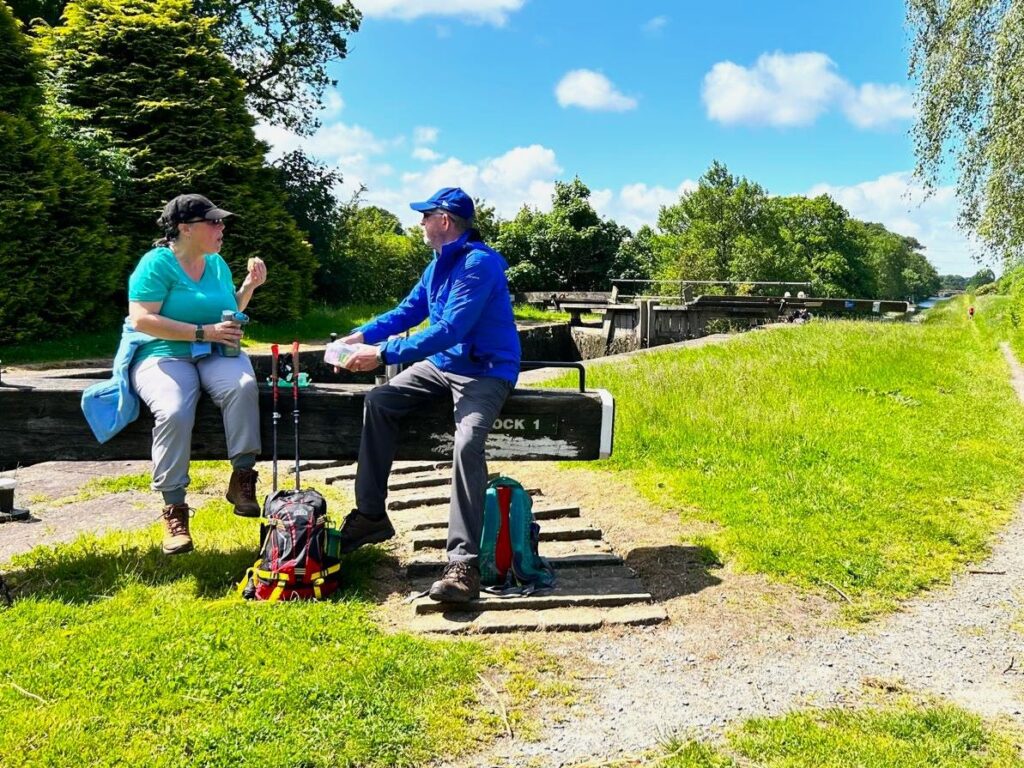
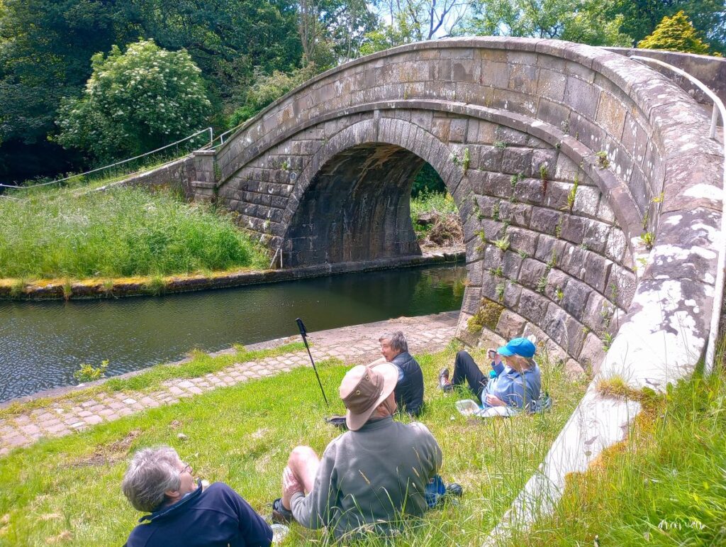
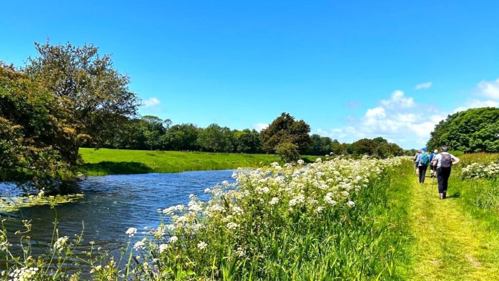
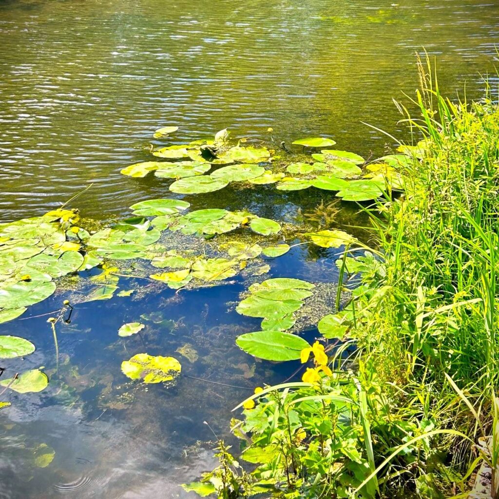
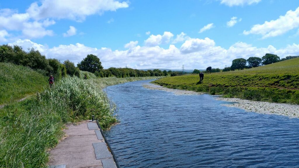
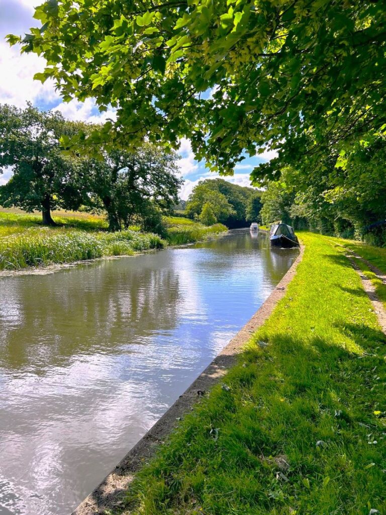
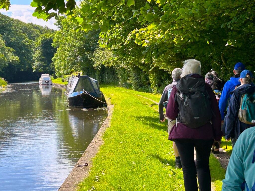
We follow the Glasson Arm all the way down to the dock at Glasson – navigation is obviously not a problem, just make sure there’s a canal on your left all the way.
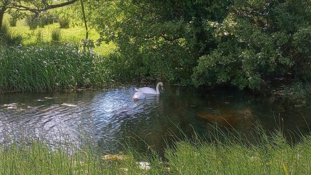
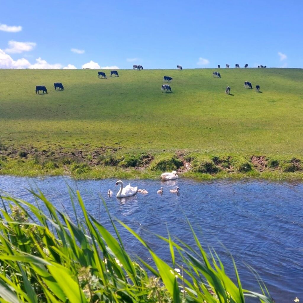
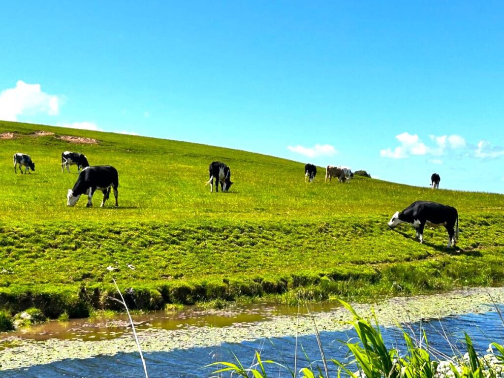
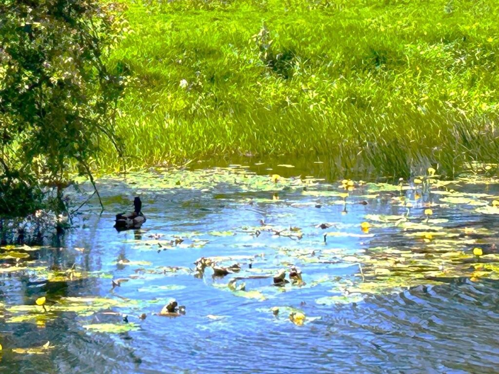
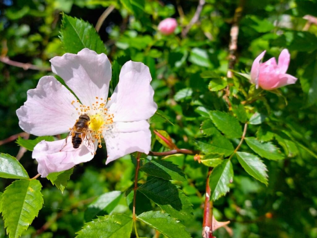
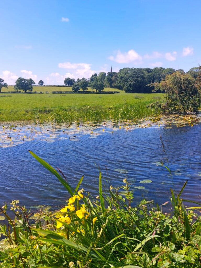
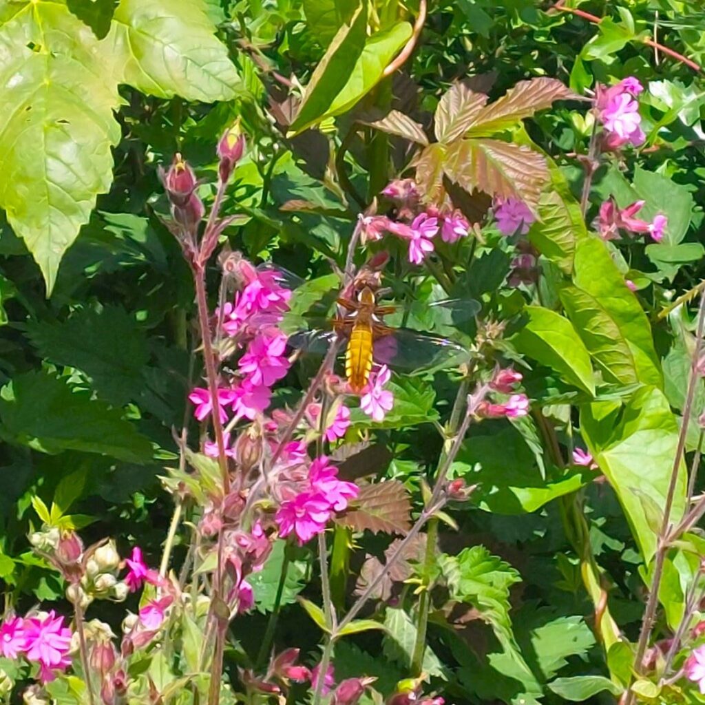
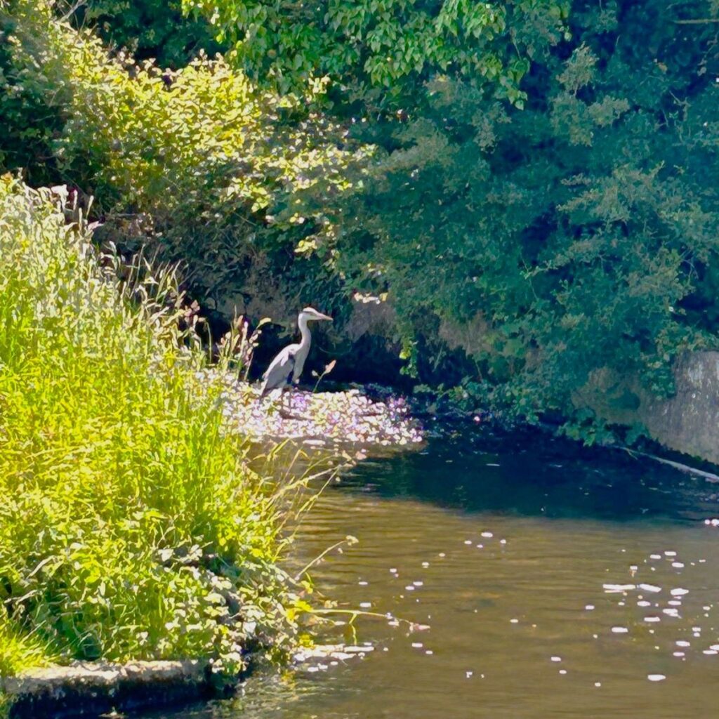
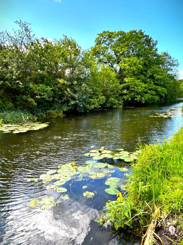
There is much to see on the way – the low usage and lack of industrial activity means that the waterway is something of a haven for wildlife, and we have a number of landmarks on the gentle stroll down to the docks.

To the left of the canal between the third Lock and Bailey Bridge is Thurnham Hall, a 12th century country house that stands in a stunning estate of nearly 30 acres. Boasting an elegant Jacobean Great Hall, Thurnham Hall is now home to 60 luxury self-catering apartments, both in the hall itself and in purpose built accommodation designed to blend in with their surroundings.
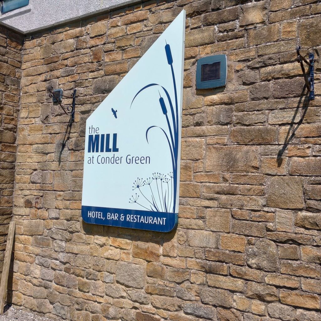
300m further on we find the Mill Hotel – and a quick glance at the building suggests that it was once a working mill. It was built in around 1740 as a corn mill, and used water drawn from the Conder to power grinding stones. The placement of the canal next to the mill was initially something of a coincidence, but the need for improved water supplies for the lower locks and the basin at Glasson soon brought the mill and the canal into close partnership: The canal company purchased the Mill in 1824 for £1,100 in order to obtain its right to take water from the River Conder and divert it into the canal, then from there to the mill wheel, with a tail race returning the water to the canal below the lock. In other words, the canal used the mill’s existing right to extract, but allowed a route for the water such that the mill could still operate.
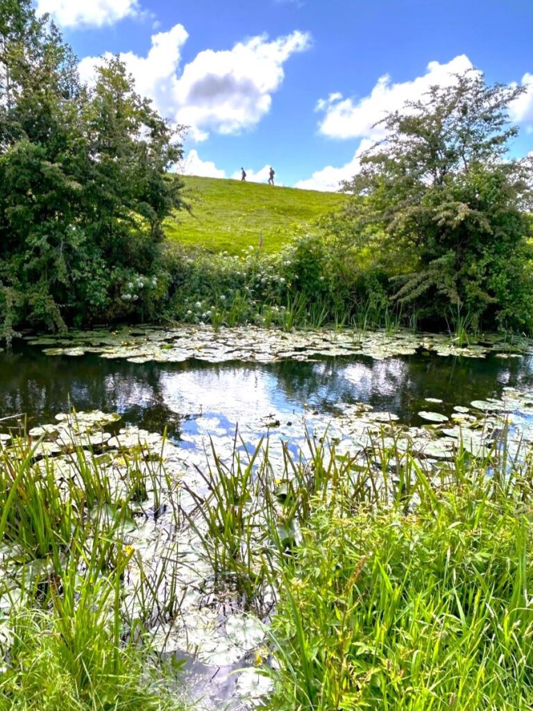
Beyond the Mill, we pass under the busy A588, then over to the right notice a marshy area known as Conder Pool – this is a Nature Reserve, and an important breeding ground for Common Terns – which despite the name are under significant threat.
There were once large colonies of terns up the Lancashire coast but a collapse in numbers in 2008 (which is still poorly understood) means that Conder Pool is one of the few remaining strongholds. A nesting Platform designed to protect the birds from land based predators has been built and numbers have stabilised. Click here to see aBBC news article
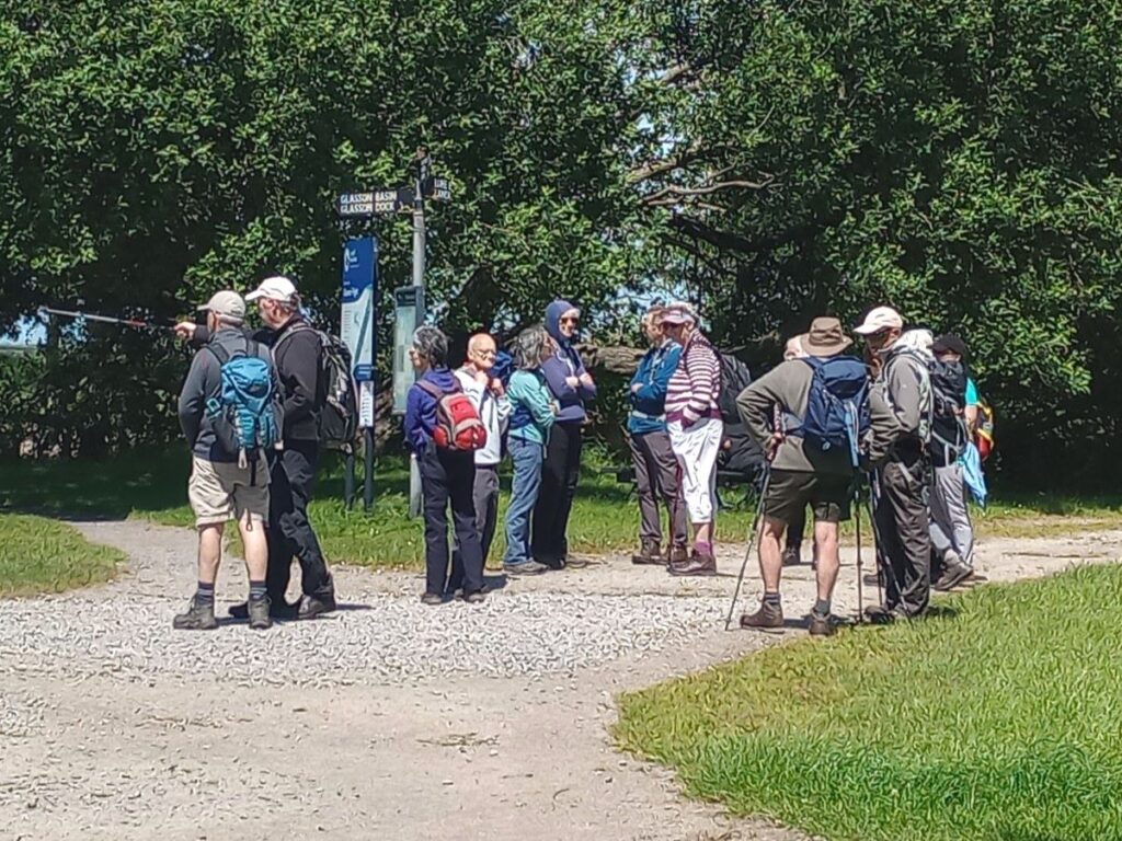
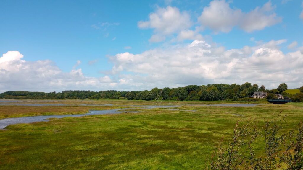
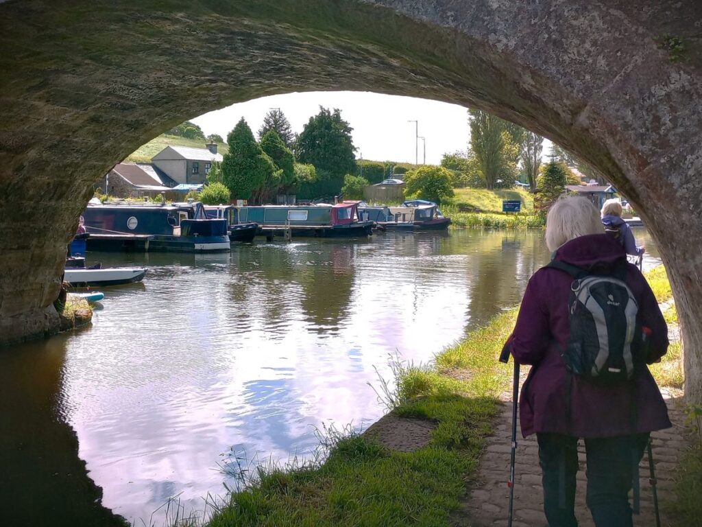
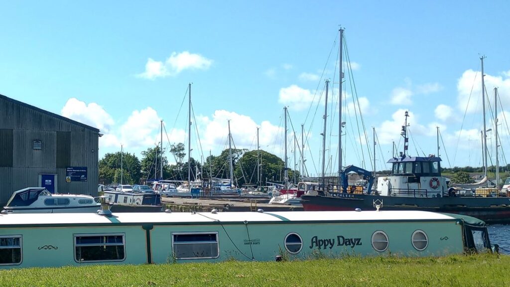
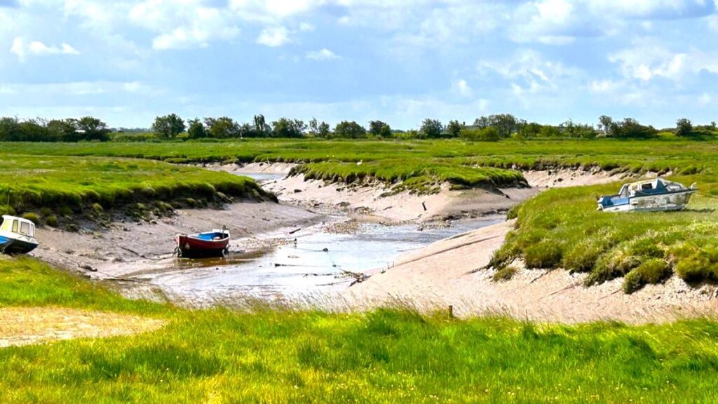
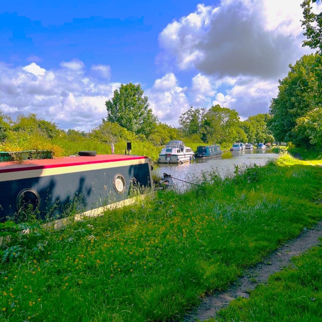
One kilometre further on, we arrive at Glasson Marina, and then Glasson Dock, the presence of masts and sea going vessels seeming significantly out of character with what so far has been a very traditional canal.
Until 1779, Glasson was a small agricultural and fishing village – the heart of it is in what we now know as Old Glasson – and residents would have been familiar with ocean going vessels passing by as they navigated up the Lune to the port of Lancaster. That journey was becoming increasing difficult though as ships became larger, and the river silted up and shifted course.
A simple plan was born – build a big new port further down the Lune – what we now know as Glasson Dock.
Click here to see more of the tourism aspects of Glasson Dock, and here for a more thorough Wikipedia article
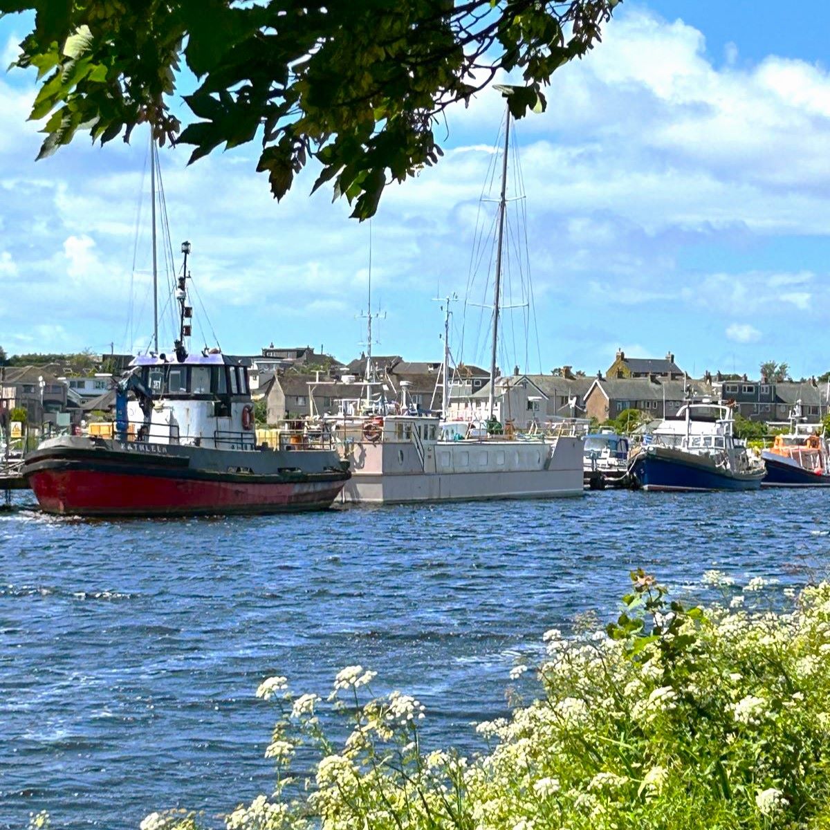
The harbour at Glasson originally opened in 1787 and was at its height the largest port in the northwest, importing cotton, sugar, spices and slaves from Africa and the West Indies. Lancaster Canal was important in affording swift distribution of cargo landed at the port into the heart of industrial Lancashire. Glasson is still a thriving port handling over 150,000 tonnes of cargo annually, although failure of one of the Sea Lock gates has recently reduced the availability of the port.
Our route goes as far as the large open Marina, the turns right to pick up the railway path heading back to Conder Green, but feel free to wander round the marina, the dock beyond it, and Old Glasson – all are worth seeing, and if you like smoked foods, then the Lancaster Smokehouse is well worth a visit.
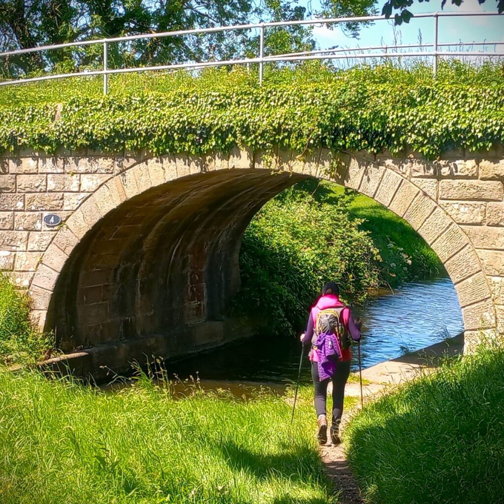
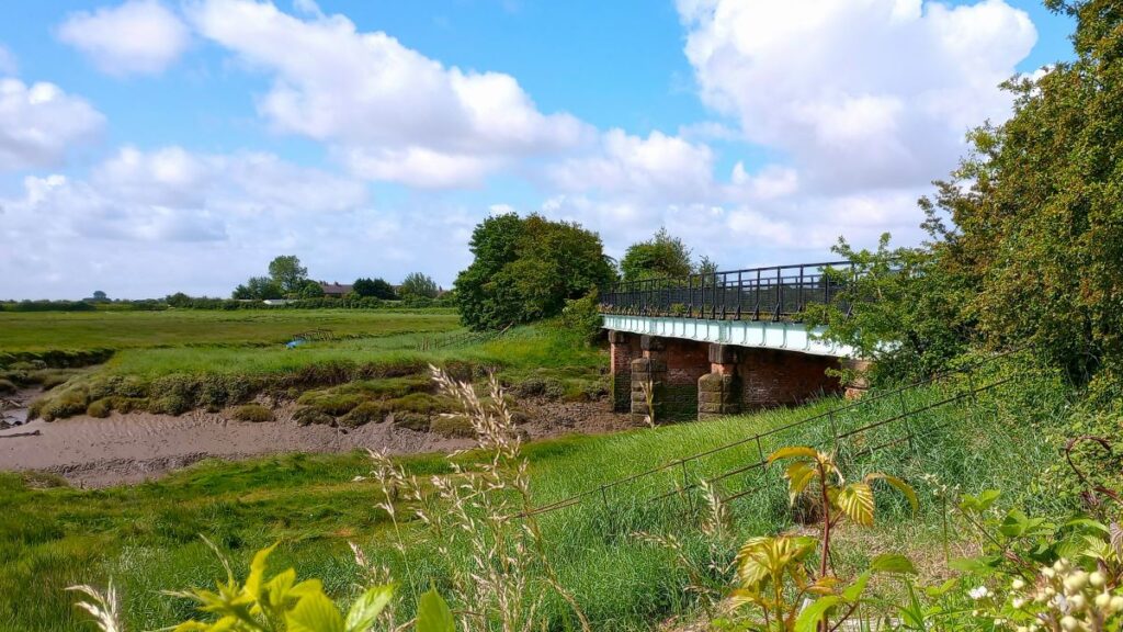
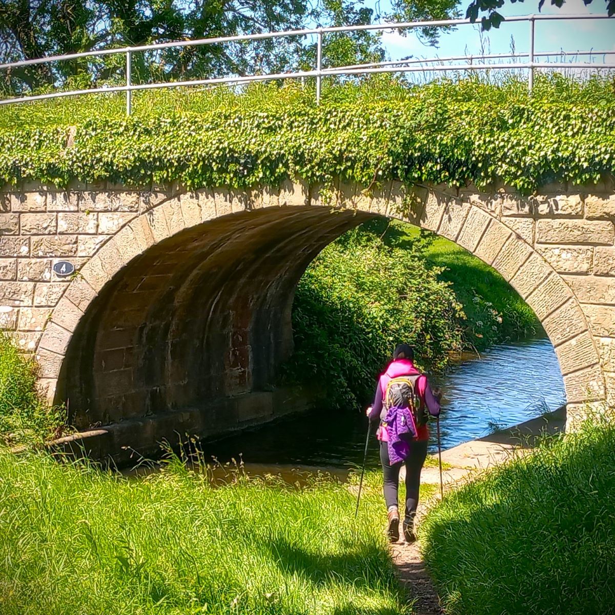
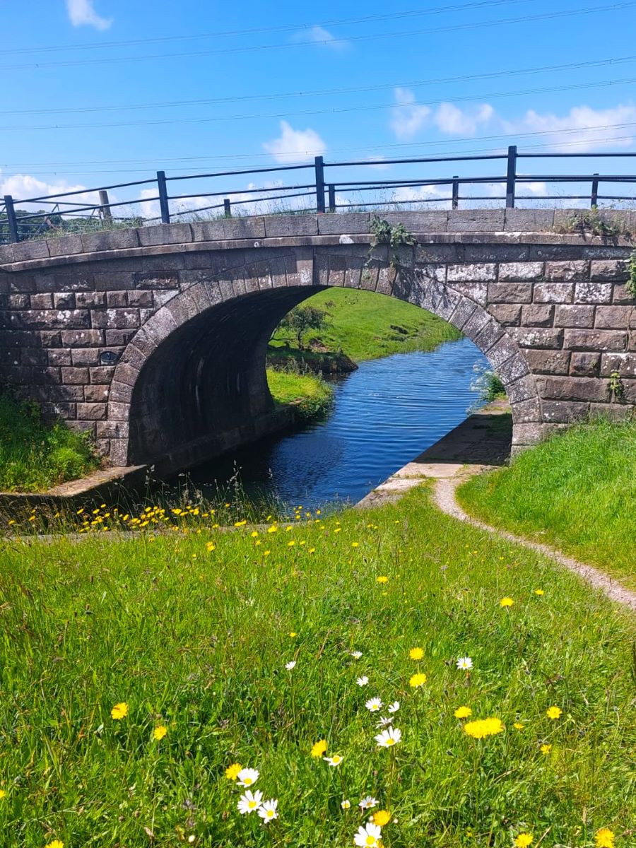
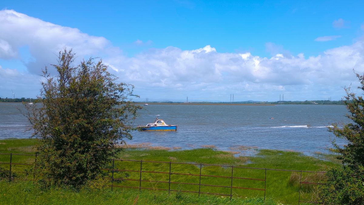
At the railway path, we turn right and head northwest with great views across the estuary. We soon cross the blue painted bridge over the Conder – which we saw at the start of the walk – to arrive back at our starting point.