Jump to . . .Step by Step | OS Map | Downloads | Gallery | Fly through
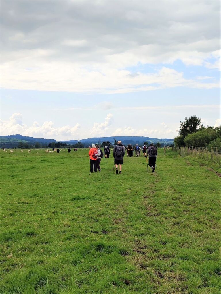
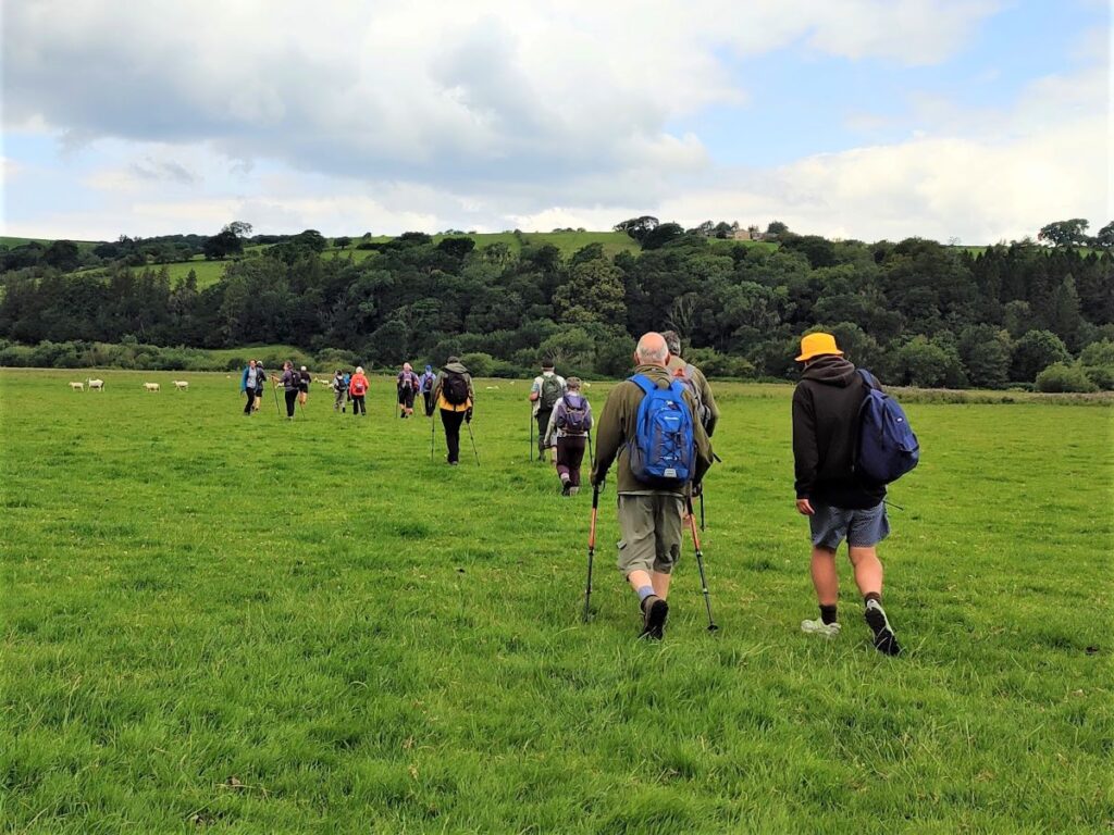
The road journey form Bentham to Lancaster is relatively mundane, making it easy to forget that that there are good walks on either side of the main road – as this excellent route shows. We start from the Bull Beck parking area on the A683 just east of Caton, then walk over fields to Brookhouse. A quiet country road takes us up to the wind farm at Caton Moor, with fantastic views across the valley and Morecambe Bay, before we head back down to the main road passing the quarries that feed the Claughton Brick works. We then cross the road and pass more evidence of the area’s railway history before coming through fields at the back of the brickworks to follow the banks of the Lune back to Bull Beck.
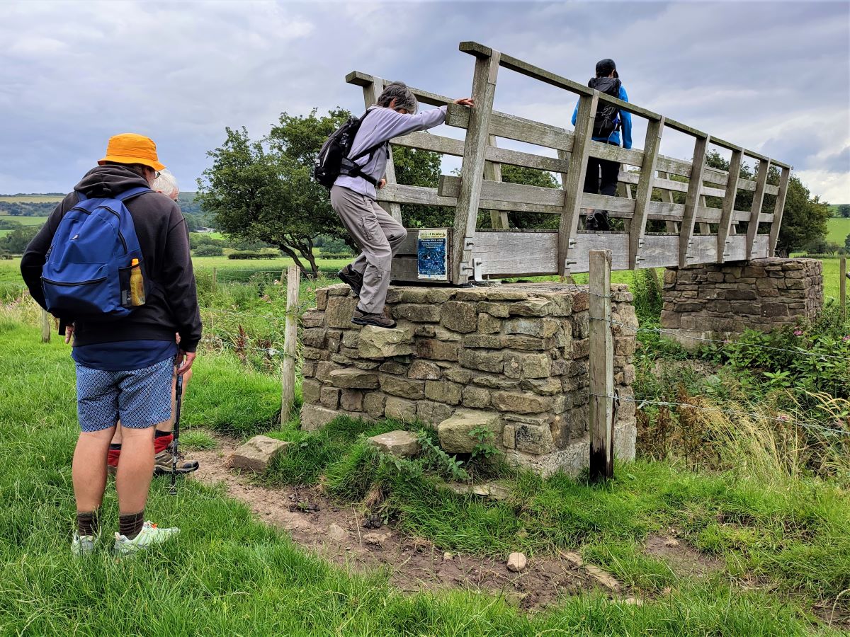
We list this walk as a “moderate” challenge, simply because it’s just over our 12km threshold. The route is generally quite easy and there are relatively few stiles, so if you normally prefer “easy” walks, don’t discount this one.
- Total distance 12.1 km (7.5 miles)
- Total ascent 274 m
- Moderate walk
Step-by-Step
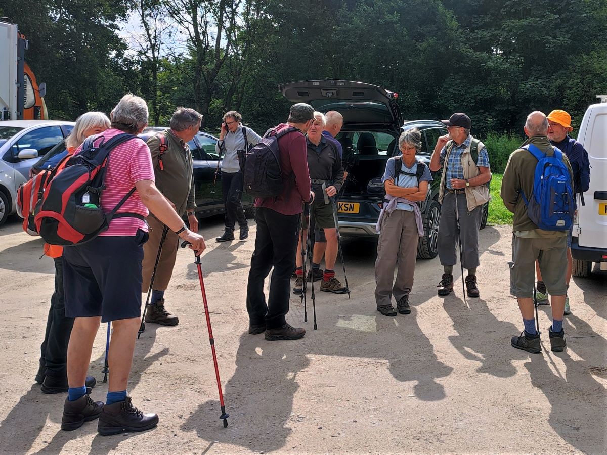
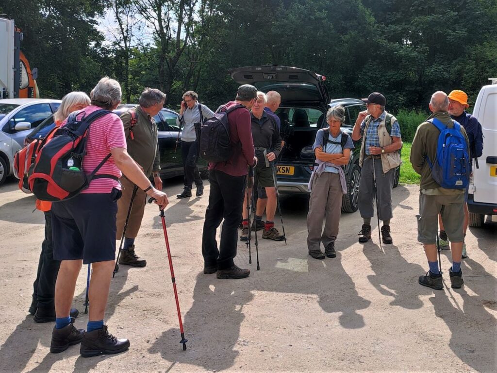
We start from the Bull Beck car park on the A683, on the main road between Caton and Hornby – it is clearly signposted, but if you are not familiar with the area, and are using satnav to get there then try postcode LA2 9QR, or LA2 9JN, but ignore any directions to leave the A683 other than to park at Bull Beck. If you are using a paper map, then the grid reference is SD54216499, and for fans of what-3-words, the tag is fidgeting.truly.feasting. Parking at Bull Beck is free, and there are public toilets. The site is popular at weekends, so our advice is to schedule the walk for midweek or arrive early.
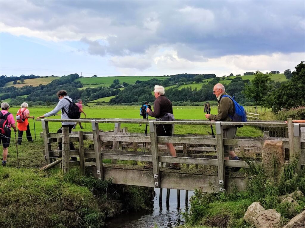
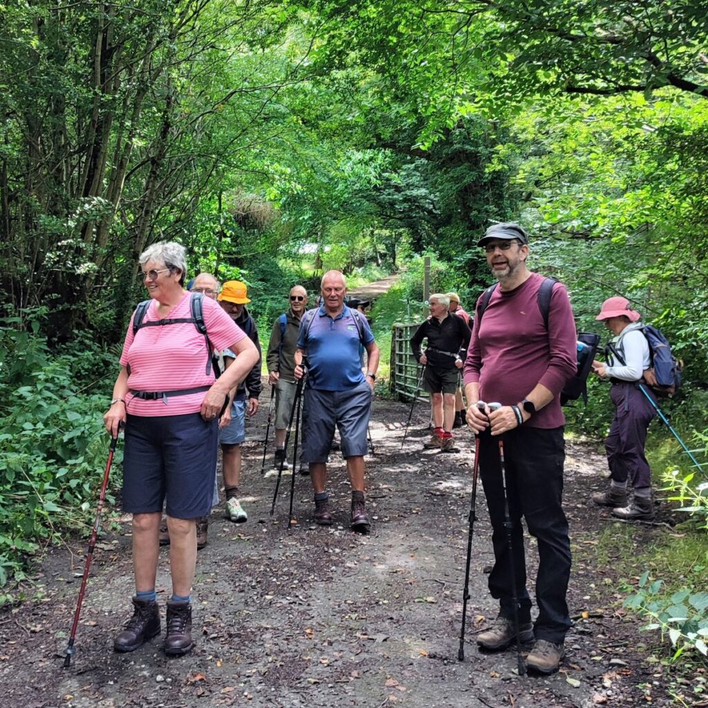
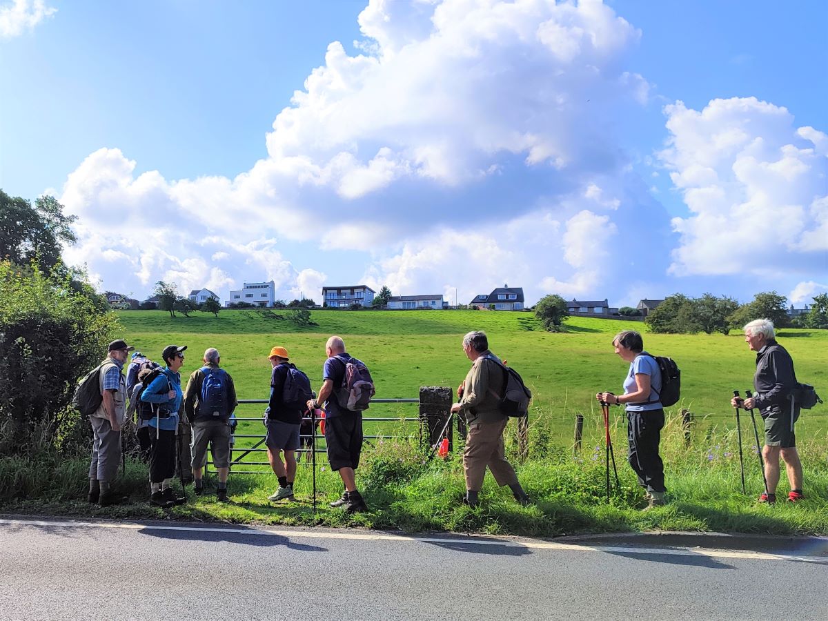
From the car park, we return to the main road. We are heading right to pick up a path on the right hand side of the main road just to the east of the car park. Unfortunately there is no pavement on the road, so take care and consider using the far side of the road for the first part of this on-road section as it may be safer: It seems surprising that a well provisioned parking area and public facilities have been provided to encourage use of the adjacent Millenium Park Path without completing the task and adding a safe link from that path to the public footpath over to Brookhouse.
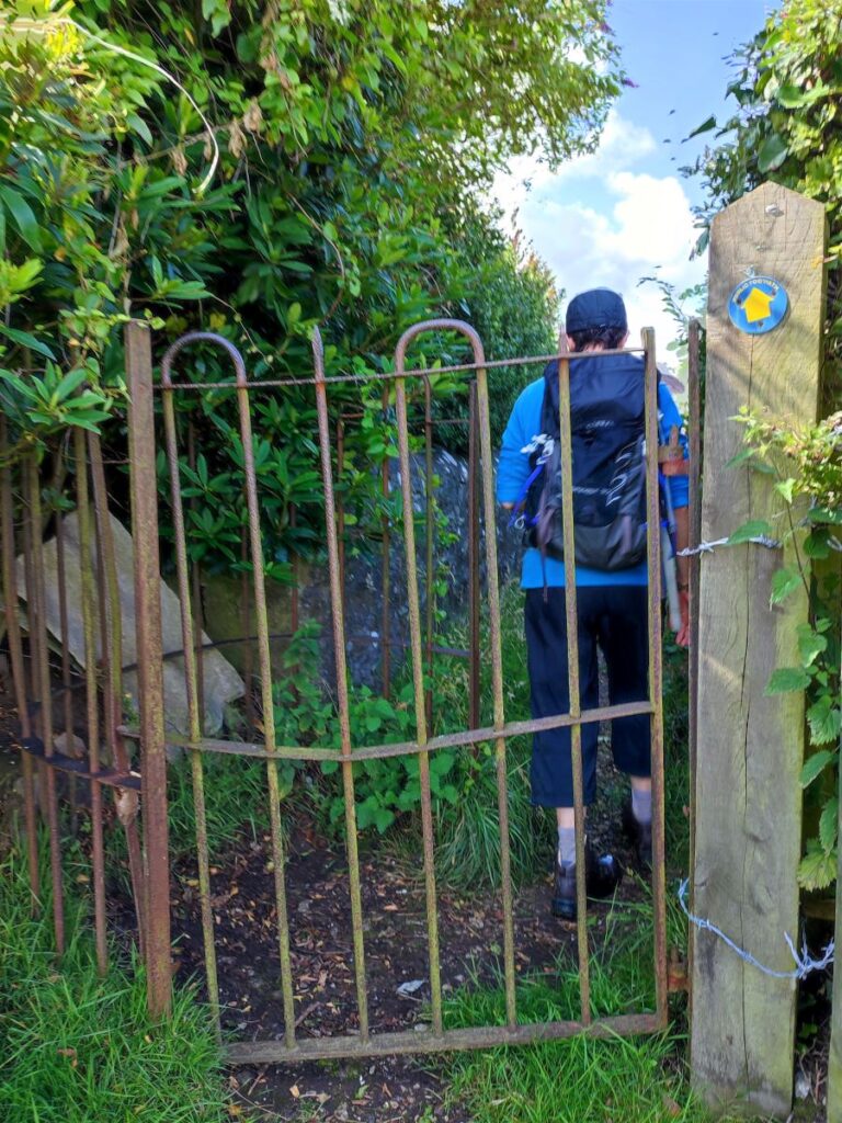
Keep an eye open for the stile at the side of the A683, and from there head uphill toward the line of houses at Brookhouse. The path up through the fields should be clear but if in doubt head to the top right hand corner where we see a small metal gate – this takes us through to a passageway between gardens and then onto a residential street (Kirkbeck Close) where we turn left.
At the end of this street is Caton Green Road where we turn right and head into the centre of the village.

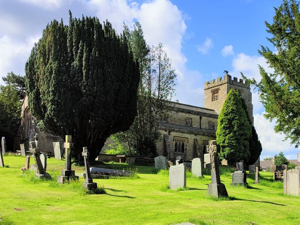
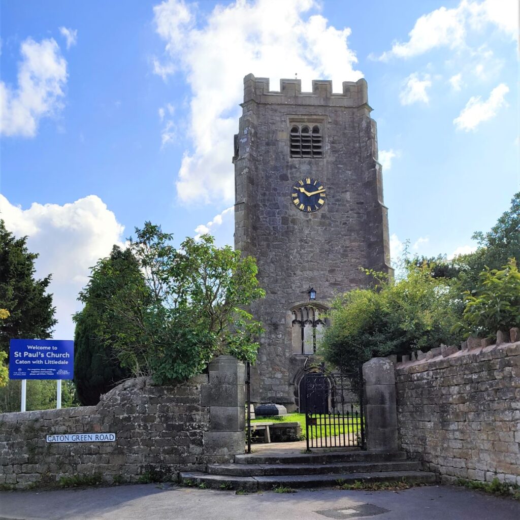
Almost immediately we see St Paul’s Church on the left hand side of the road – this is well worth taking a moment to visit: The earliest record of a church or chapel on the site goes back to 1230, although the structures visible today are not quite that old. The tower is the oldest part of the current church, dating from the 16th century, whilst rest of the church was rebuilt in 1865–67 to a design by the renowned Lancaster architect Edward Graham Paley, who also worshiped and is buried at St Pauls. Paley’s works feature as landmarks on many Bentham Footpath Group Walks, to see a list click here
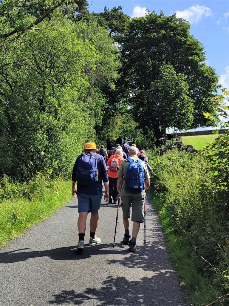
Continuing past the church we pass the Black Bull pub and then turn left to head up Littledale Road. After no more than 100m, we take another left turn crossing a bridge over Bull Beck, to follow Moorside Road up past St Paul’s Primary School.
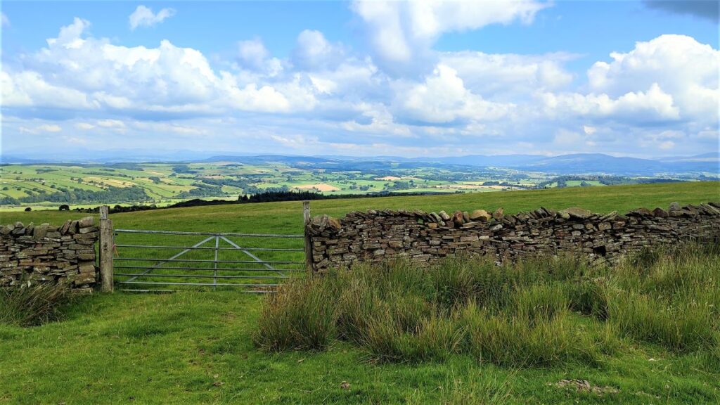
We carry on up Moorside road for a little while, leaving the housing behind, to enter farmland. We soon arrive at a junction where Moorside Road bears right and a road up onto the moors presents itself on the left. This is Quarry Road, although you will see no signage to indicate this.
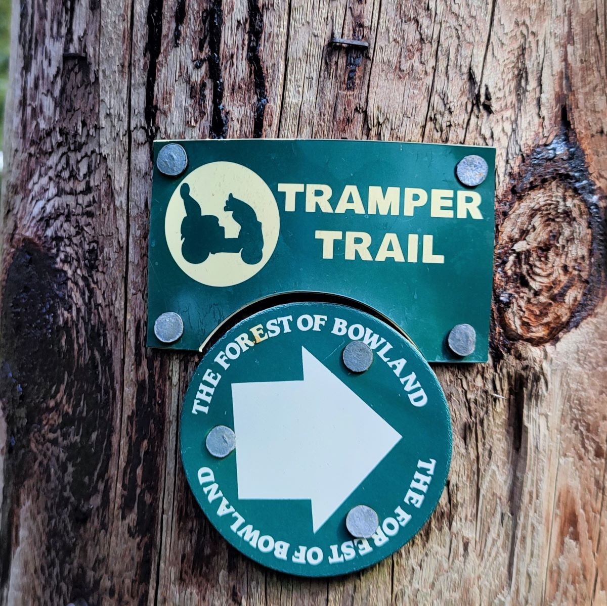
What you may notice however at the junction of Moorside Road and Quarry Road is a small roundel indicating the Tramper Trail. This is an excellent initiative to enable those with restricted mobility to have access to the walks that we take for granted by using “Trampers”, a specially designed four wheel drive all-terrain electric buggy which can be used off road and even on rough ground, mud and grass. It enables people who have difficulty walking to experience the countryside, woodlands and lakesides; and to accompany their friends and families when out walking. To find out more about hiring Trampers in this area, click here , or to access a leaflet for this specific trail, click here
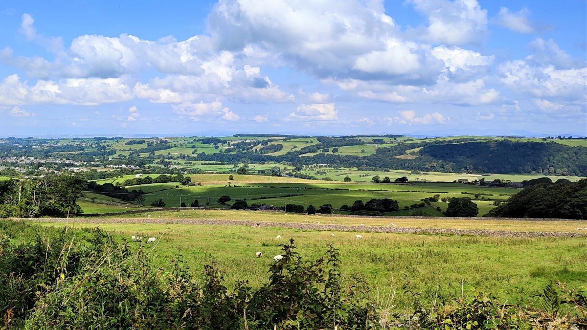
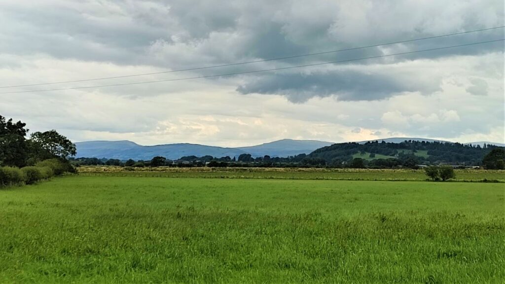
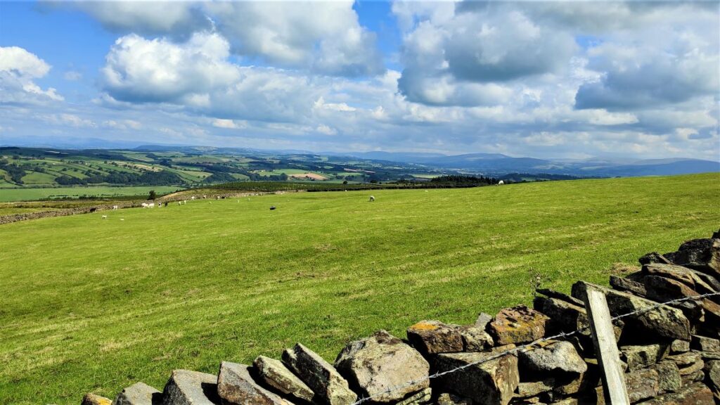
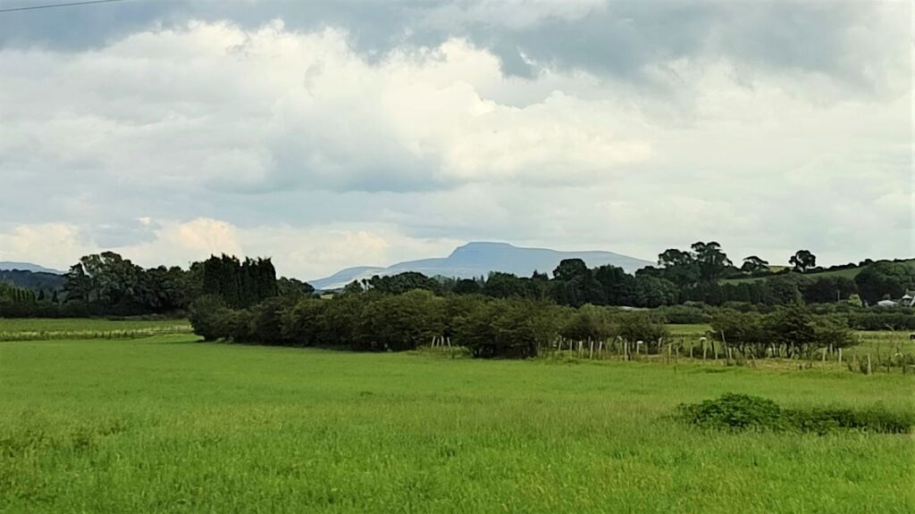
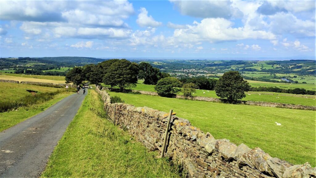
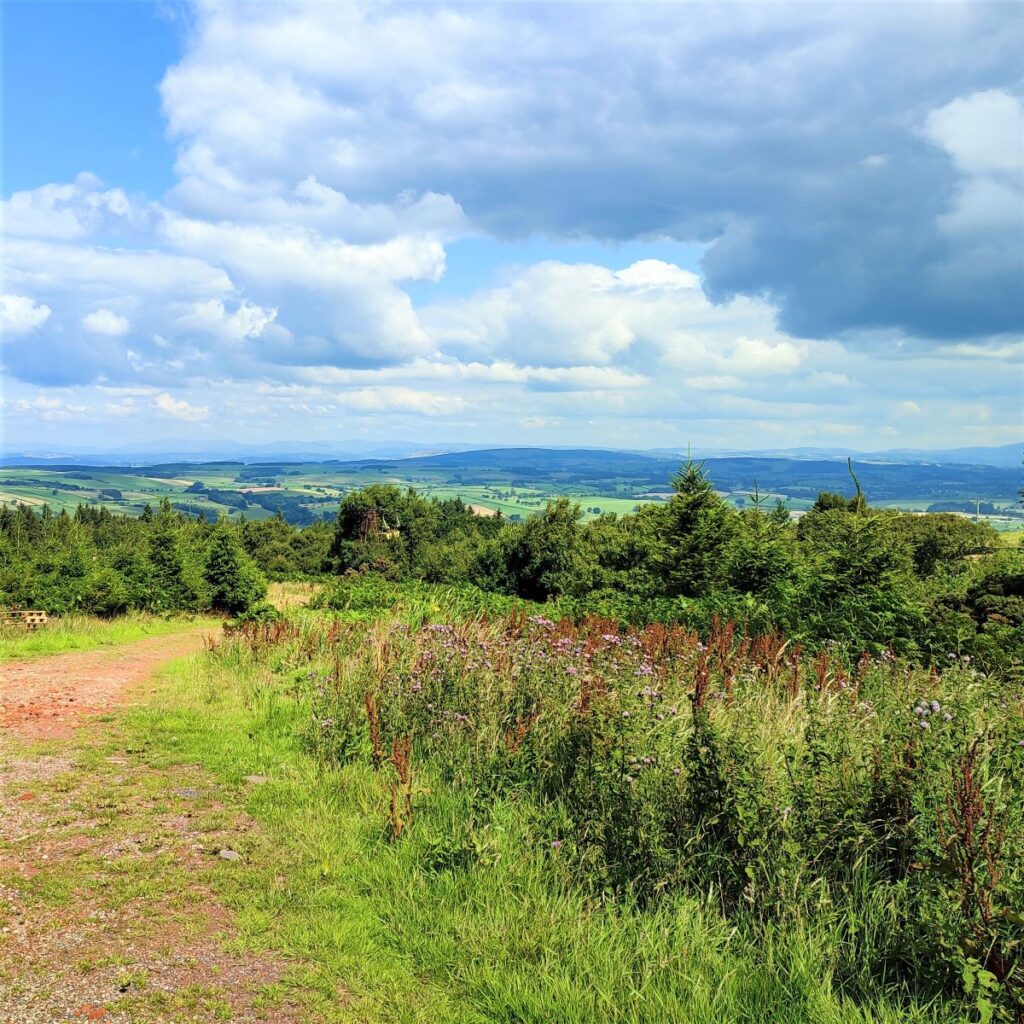
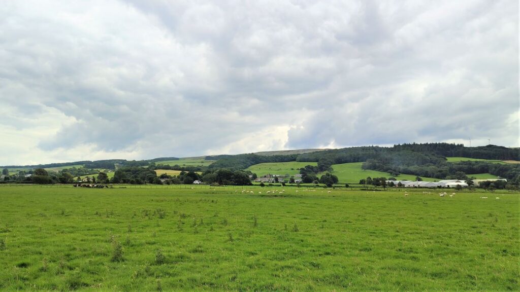
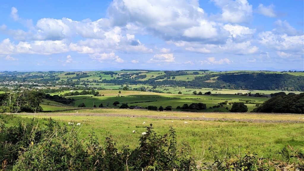
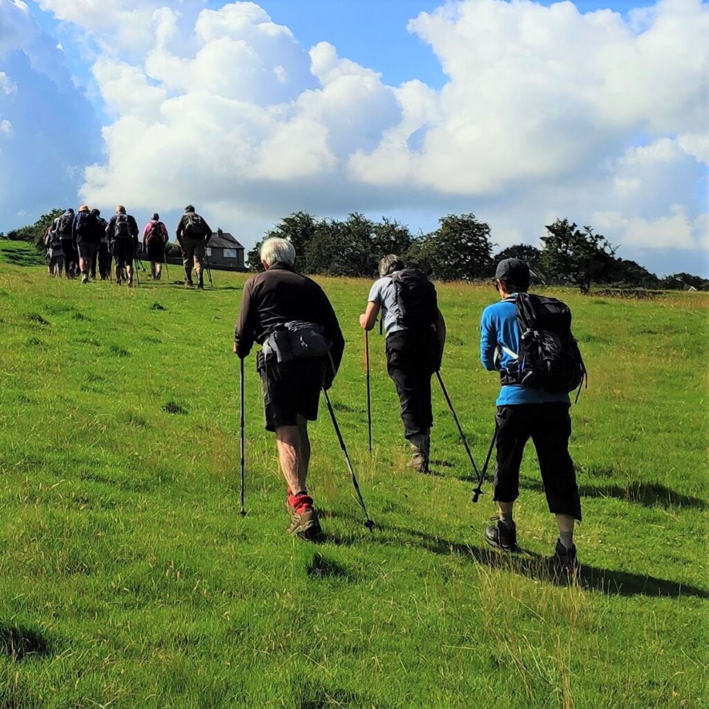
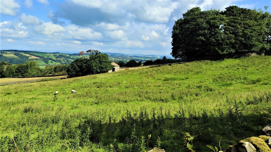
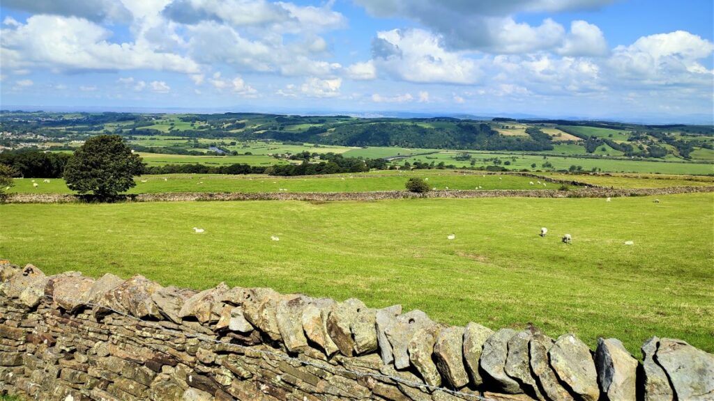
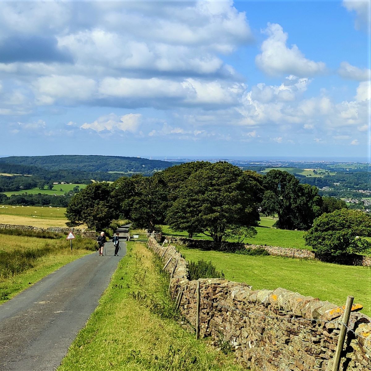
We head up Quarry Road, passing a farm on the left and some housing on the right before the road becomes steeper and much more rural. From here on, we start to get great views over the Lune valley and back to Morecambe Bay. Particular landmarks to look for (on a clear day) are Aughton across the Lune valley, the nuclear power station at Heysham, the shipyards at Barrow, the sea front at Grange-over-Sands, Hornby and the castle with the tops of Ingleborough and Pen-y-Ghent ahead.
Click here to see a panorama shot of the view on the day of our walk.
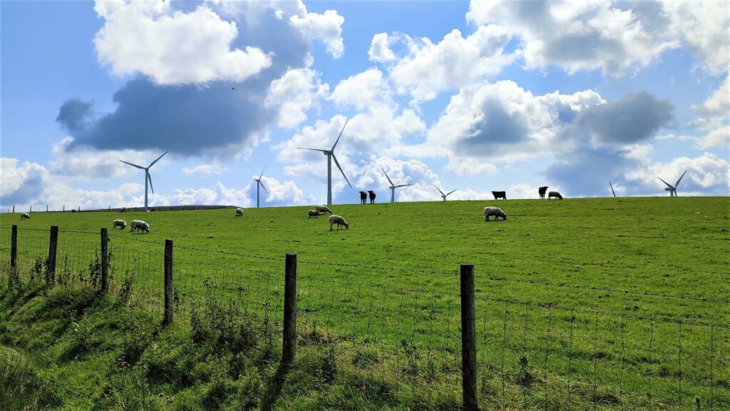
As we rise, we start to get a clearer view of the wind farm at Caton Moor to the right of the road. Wind Farms are a common sight now, but the Caton Moor site was one of the early pioneers, having been built in 1994 when there were only 5 operational wind farms in the UK – at that stage Caton generated 11% of the UKs wind energy.
The site was acquired by Triodos in 2005, and the original ten turbines were replaced by 8 more advanced units, each with a name picked by local school children. Since then, Triodos has become Thrive Renewables, and wind power has become much more common – in fact there is more wind farm capacity visible from this site than existed in the entire UK when the site first came on stream. The site is expected to generate 47 GWh this year – enough for 12,000 homes.
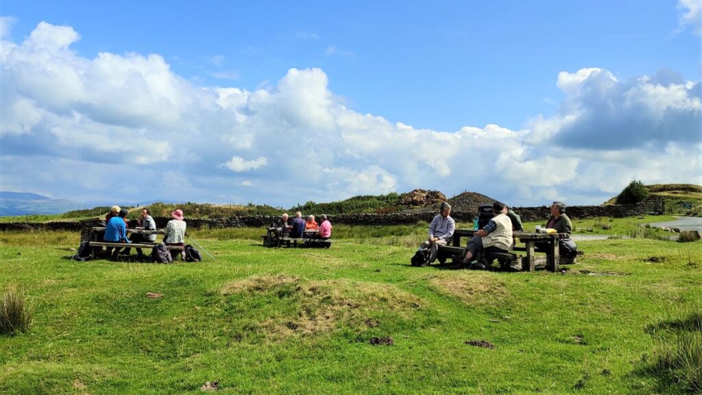
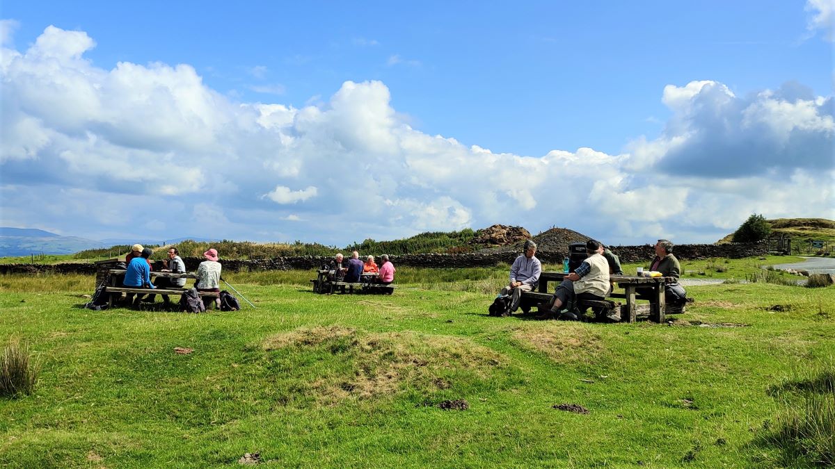
There is a picnic site at the access road for the wind farm, and this is a good place to take a break – the climbing is done now.
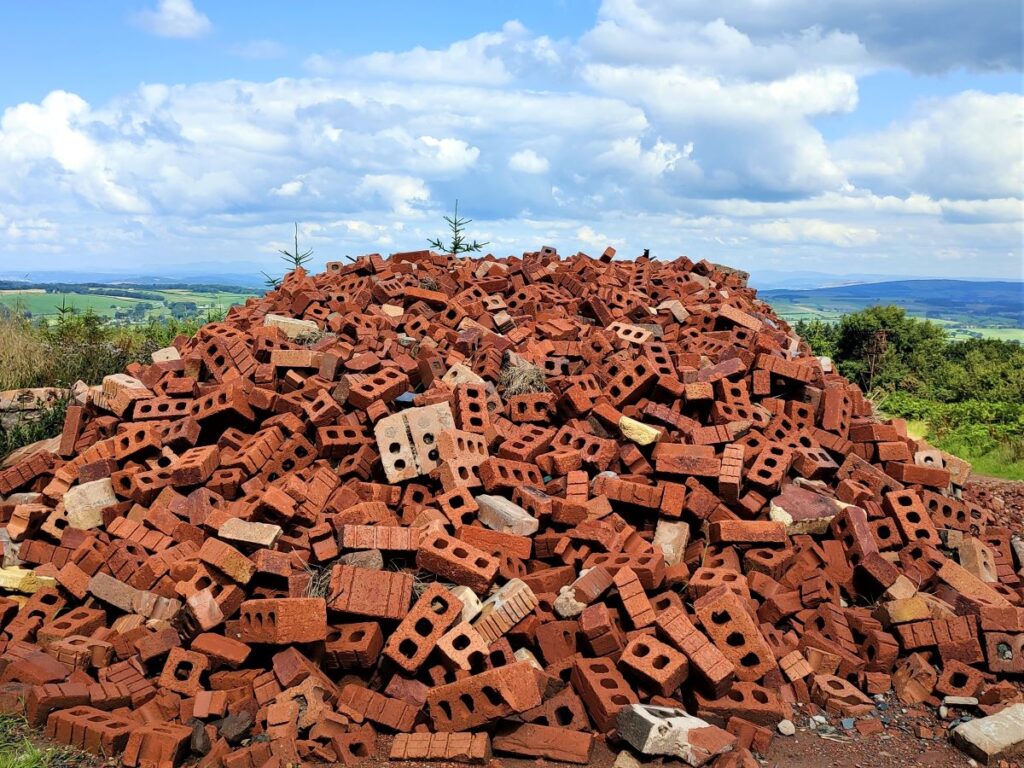
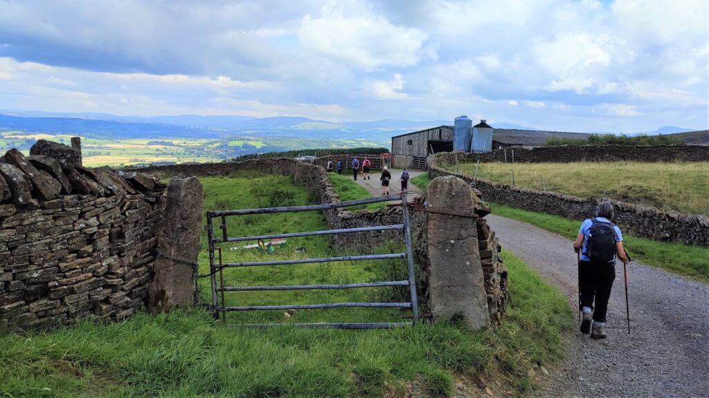
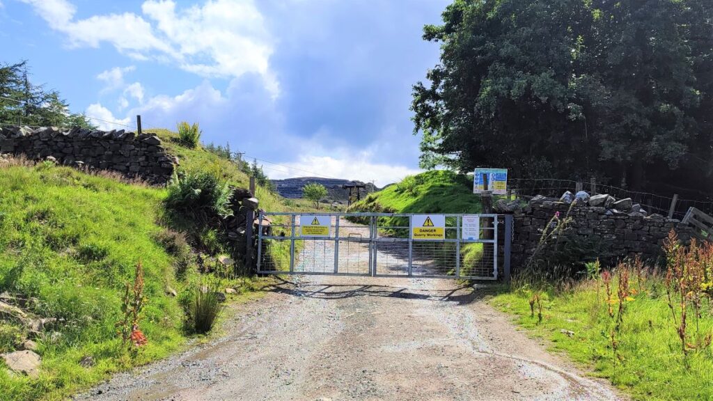
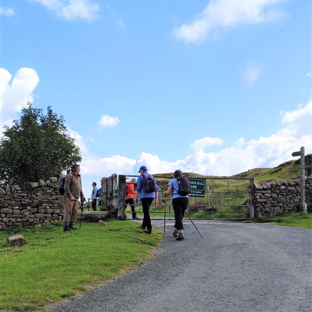
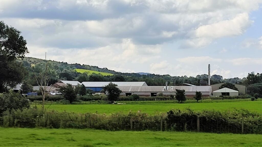
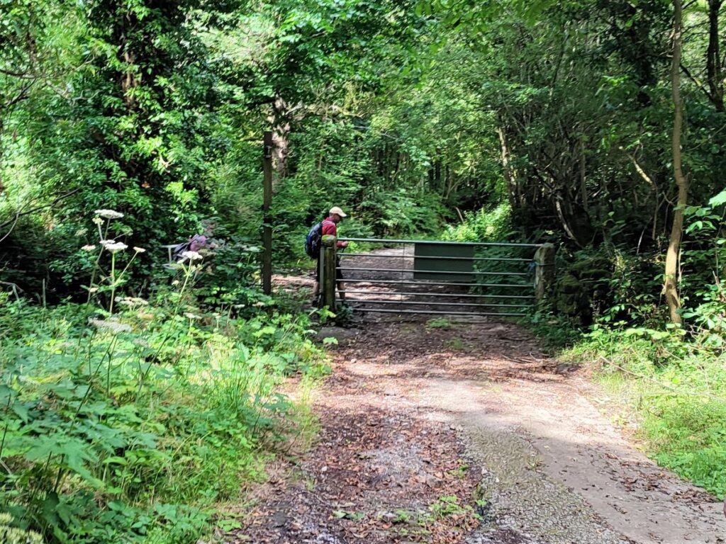
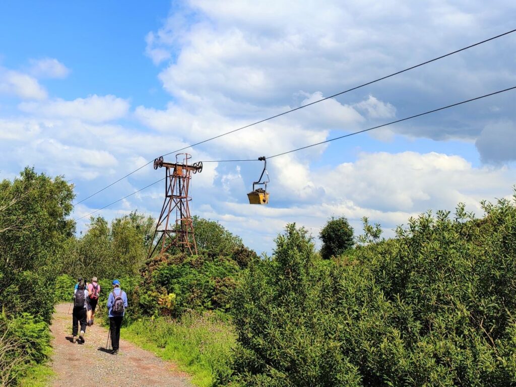
The next part of the walk takes us past the quarries where the shale for Claughton Brickworks is sourced. We start by continuing along Quarry Road until we get to a metal gate across the road. This is usually closed, but there is a pedestrian access gate to the left – we take this and follow the road round a series of bends and then past a farm (Moorcock Hall Farm), before heading downhill toward the quarry.
Access to the quarry itself is not permitted for safety reasons, and so the scale of the digging is not immediately apparent from the track – a quick glance at the fly through shows just how much shale has been won here.

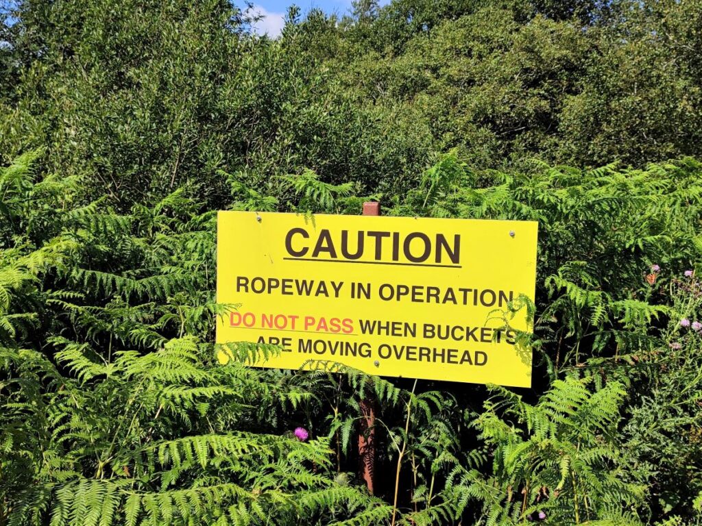
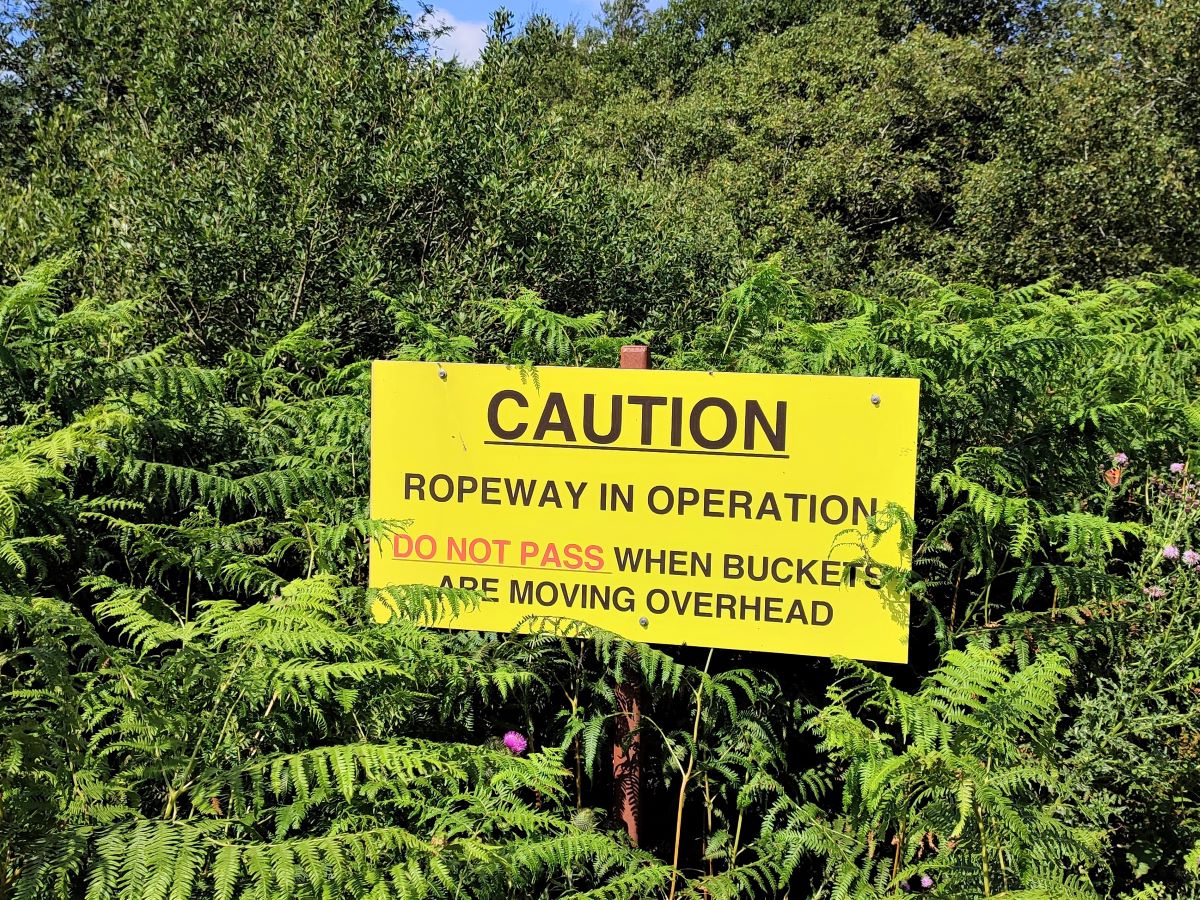
The shale is moved from the quarry to the brick works more than a mile away on the A683 using an aerial ropeway – the last surviving gravity powered ropeway in the UK. The system was built in 1924, and the remaining ropeway is one of two, originally constructed to serve the east and west works.
The ropeway to the west works was taken out of use in 1990 when that works ceased operation. Some of the support pylons of the route to the west works remain, although the rope is long gone. Both routes started together at the quarry and radiated out in basically straight lines, to cross the A683 about a quarter of a mile apart.
A YouTube video showing the quarry and the ropeway can be found here and a recent BBC feature can be found here
We follow the track downhill initially on much the same line as the ropeway, pausing to avoid walking directly under the loaded buckets as they pass overhead.
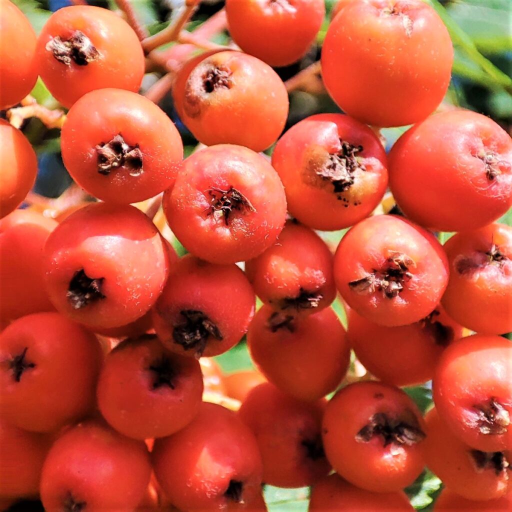
What we do notice as the buckets pass overhead, is that their loads are predominantly dark grey, whereas the finished bricks exiting the Claughton brick works are red – the most common brick colour: Modern manufacturing methods have allowed for bricks of almost any colour to be produced. There are three factors to consider:
- The first is the clay used – this determines the colour running through the middle when the brick is broken – red brick can have a grey interior.
- The second is the use of mineral pigments, inclusions, and sands within the “recipe” for the brick.
- The third, and the dominant one in this case, is the atmosphere of the kiln. Firing the kiln in an oxygen rich environment converts black iron II oxide pigments known as wustite into red iron III oxide.
We follow the track downhill, passing Claughton Hall on our left. This is barely visible from the track and is a private property guarded by a large fence and dense woodland. Look carefully through the trees and you will get a brief glimpse of the large country house, a grade I listed building, dating to around 1600, but containing structures believed to be from the 15th century. Rather curiously, the building you (just about) see was moved to its present site, from the bottom of the hill in 1932–33. It has been the home of infamous former Blackpool F.C. owner Owen Oyston since the 1970s. Oyston was found guilty of raping a 16-year-old girl at the property in 1996.

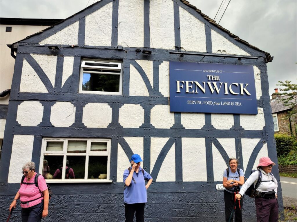
Eventually the track arrives back down at the A683 opposite the Fenwick Arms, which featured in a Channel 4 TV show, Ramsey’s Kitchen Nightmares. To see that episode, visit Channel 4
For balance, the management has changed since then, and the pub is well rated on Trip Advisor.
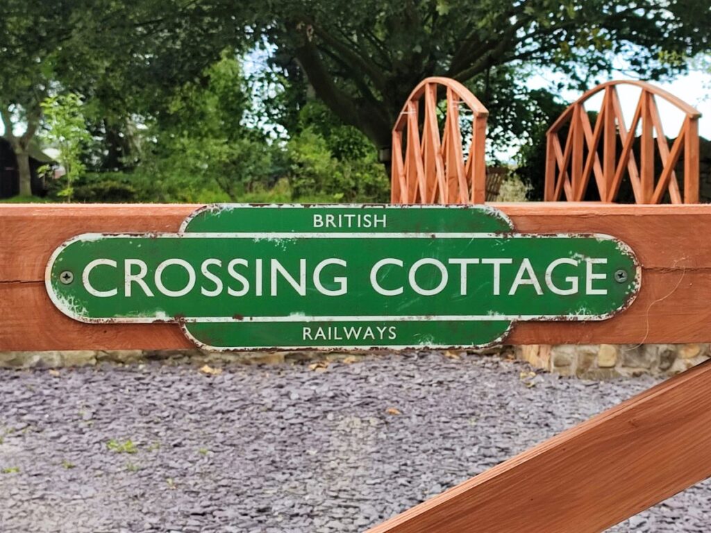
We cross the road and continue down the lane adjacent to the pub – this takes us down past housing to cross the track of the old railway at the delightful crossing cottage.
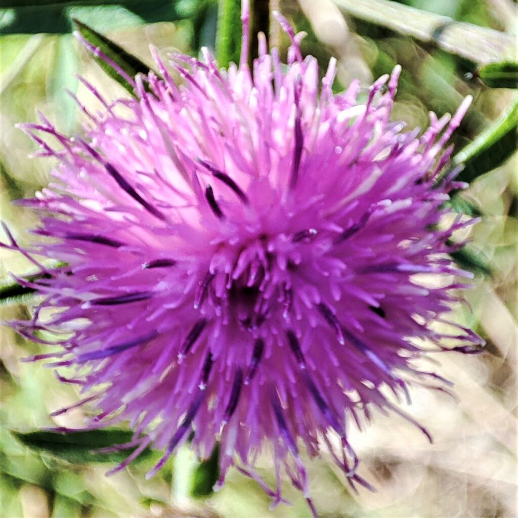
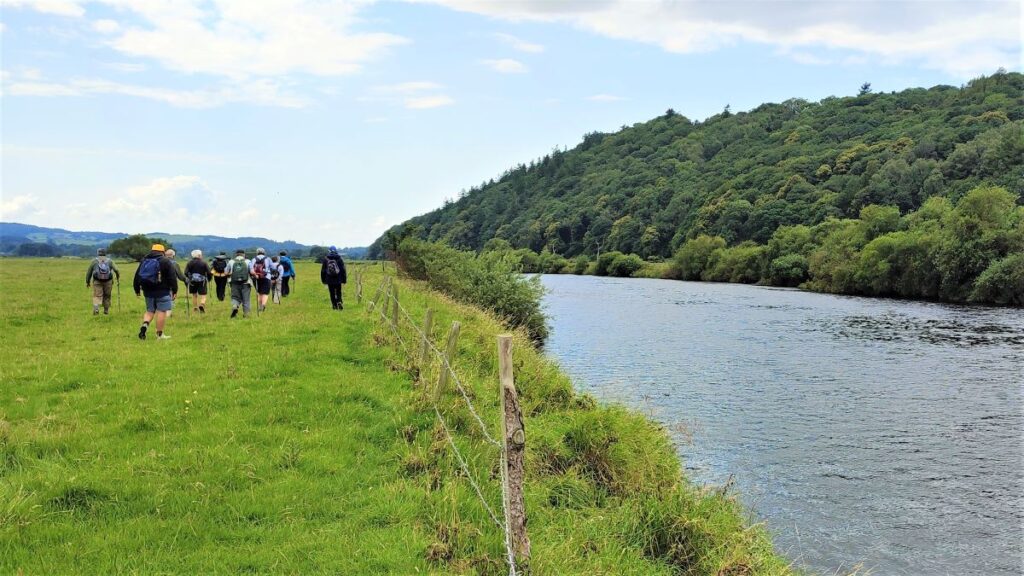
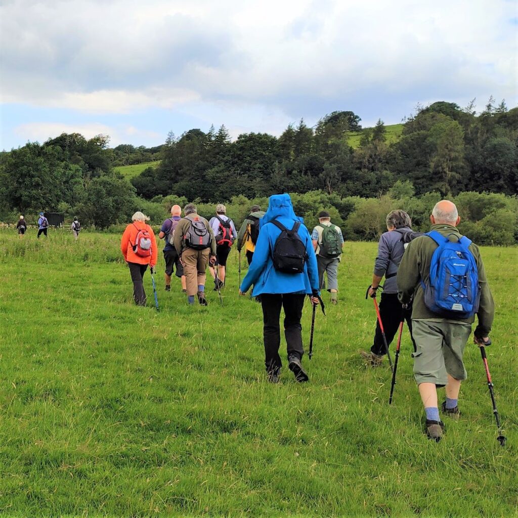
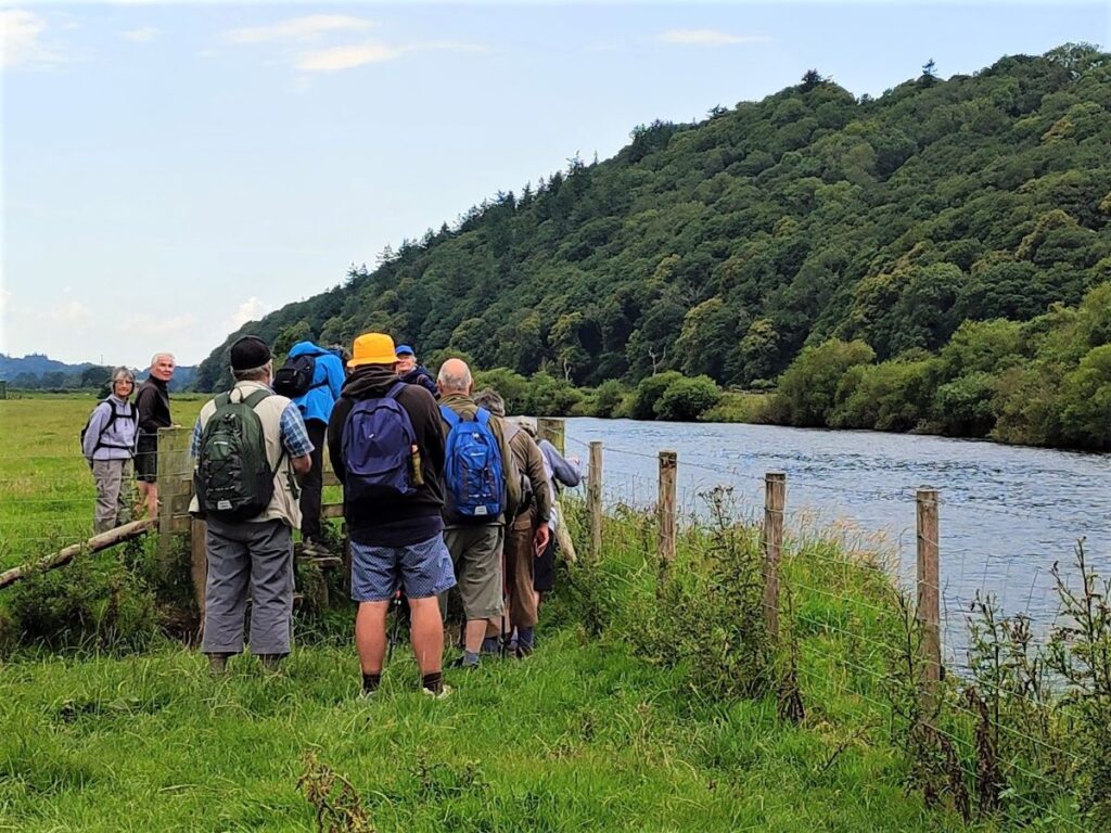
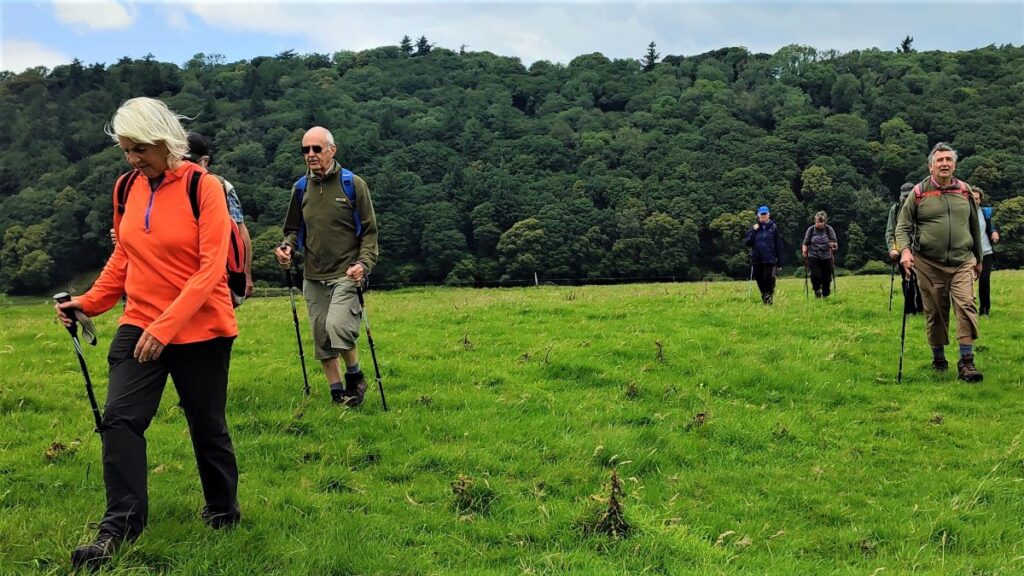
Just beyond here we look for a stile on the left and take that to strike out across fields to take a path along the Banks of the Lune back to Bull Beck. We cross the first field and see a footbridge over a small stream – this takes us into a large meadow where we enjoyed a break. We continue along the right hand edge of the field, looking for a gate in the fence opposite about 100m away from the right hand edge. We cross at the gate and continue in much the same direction until we get to the Lune, where we head left to follow the river downstream for a while – swans, egrets and geese and may be visible on the river, and hares are often found in the fields.
We follow the river for a little while, and as it swings to the left as part of a large meander, we see a raised footbridge over a minor beck. Our path continues over this and heads up to Bull Beck. The bridge itself is something of a climb – and it might look odd on a pleasant dry day that the bridge is so elevated – the reason of course is that this very flat land is prone to inundation in wet weather, and this elevated design prevent the bridge being damaged in times of flood.
It is worth mentioning at this point that anyone looking at an OS map or using the OS App will see green dotted path lines crossing the Lune – there is no safe crossing along this section, quite why the maps are marked this way is unclear, but the advice is: stick to the obvious path on the left of the river.
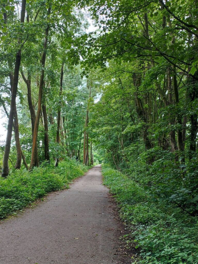
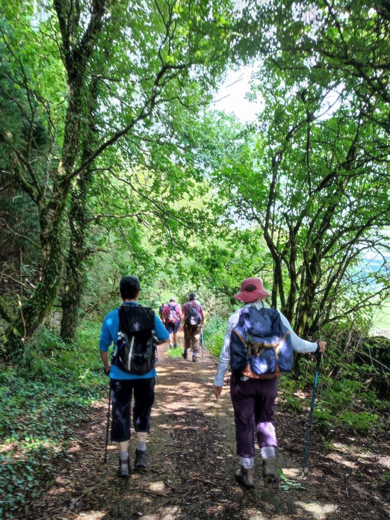
We soon arrive back at the track of the old railway line – now The Lune Millennium Park path – a smooth, hard surfaced path which covers a distance of 10km (6 miles) from Lancaster to Caton. We head right and back toward the car park.
Caton did once have a functional railway, and indeed its own station – located near Ball Lane and Station Road. The line and station opened in November 1849, being built by the “Little” North Western Railway. The route was initially constructed as single track – which is why the Millennium Park Path is relatively narrow – as is the bridge over the Bull Beck just before Station Road. Other parts of the line were converted to double running by the Midland railway at a later date.
The station was closed in May 1961 (i.e., prior to the “Beeching” cuts) though the through line remained in use until closure to passengers in 1966 between Wennington and Morecambe. Freight services finished in 1967 and the track was subsequently dismantled. The line has since been converted into the Millennium Park, which includes the two old railway viaducts across the River Lune at Crook o’Lune.
We stay on the path for no more than 250m until we see Bull Beck car park across the main road on the left, where the walk ends.