Jump to . . .Step by Step | OS Map | Downloads | Gallery | Fly through
We are lucky enough to live in a location that gives us easy access to some of the most beautiful countryside in the UK, and we immediately think of the Lake District, the Yorkshire Dales, and the Forest of Bowland in this context. To that list we must surely add the Arnside and Silverdale Area of Outstanding Natural Beauty (AONB) – a compact but varied area that offers a wide variety of scenery, flora and fauna: One of the smallest AONBs, it covers just 75 km2 between the Kent Estuary, the River Keer and the A6.
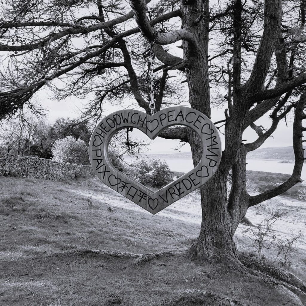
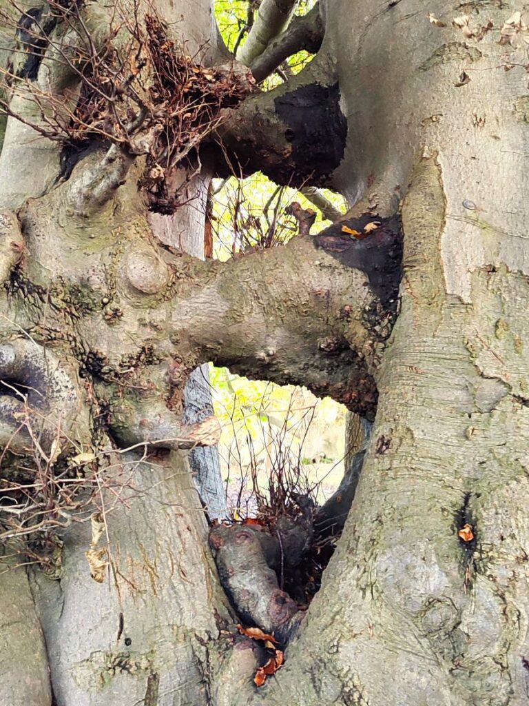
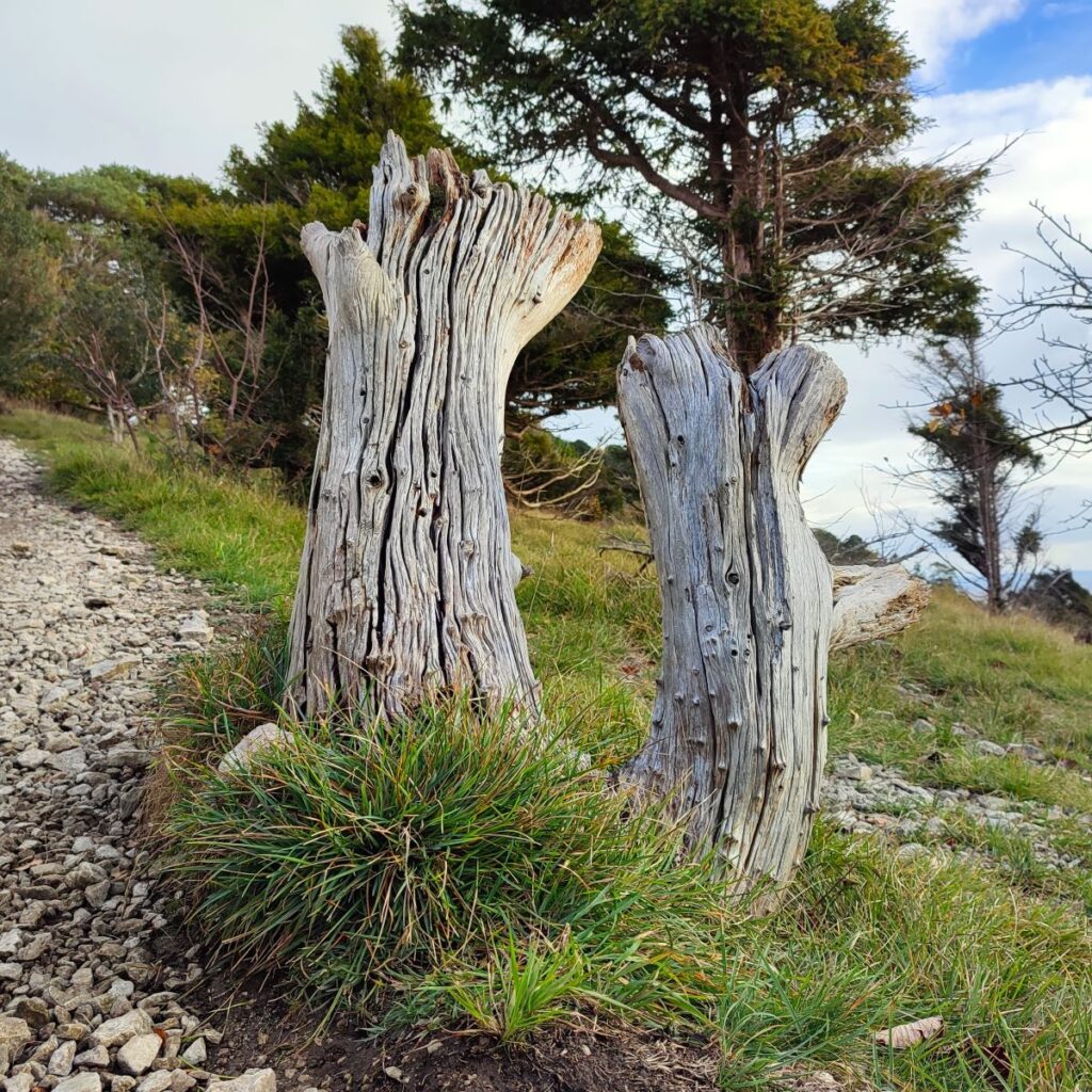
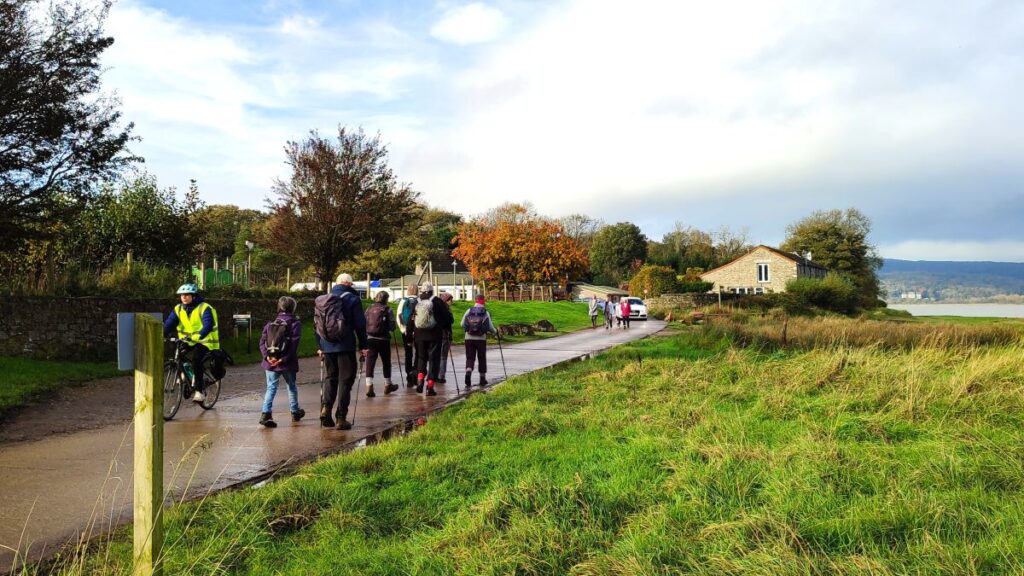
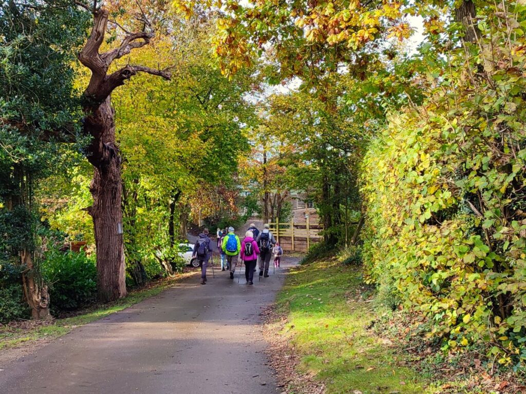
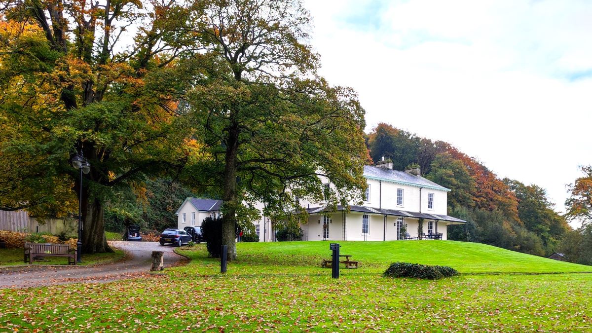
This easy walk starts from the ever popular seaside village of Arnside, then takes a route along the coastal fringe of the Kent Estuary, looping round to Morecambe Bay at Far Arnside before returning via Heathwaite and onto Arnside Knott with its fantastic viewpoint. We end with a view of the fabulous gnarled trees on the Knott – complete with artworks – before taking a woodland route back to Arnside.
- Total distance 8.5 km (5.3 miles)
- Total ascent 243 m
- Easy walk
Step-by-Step
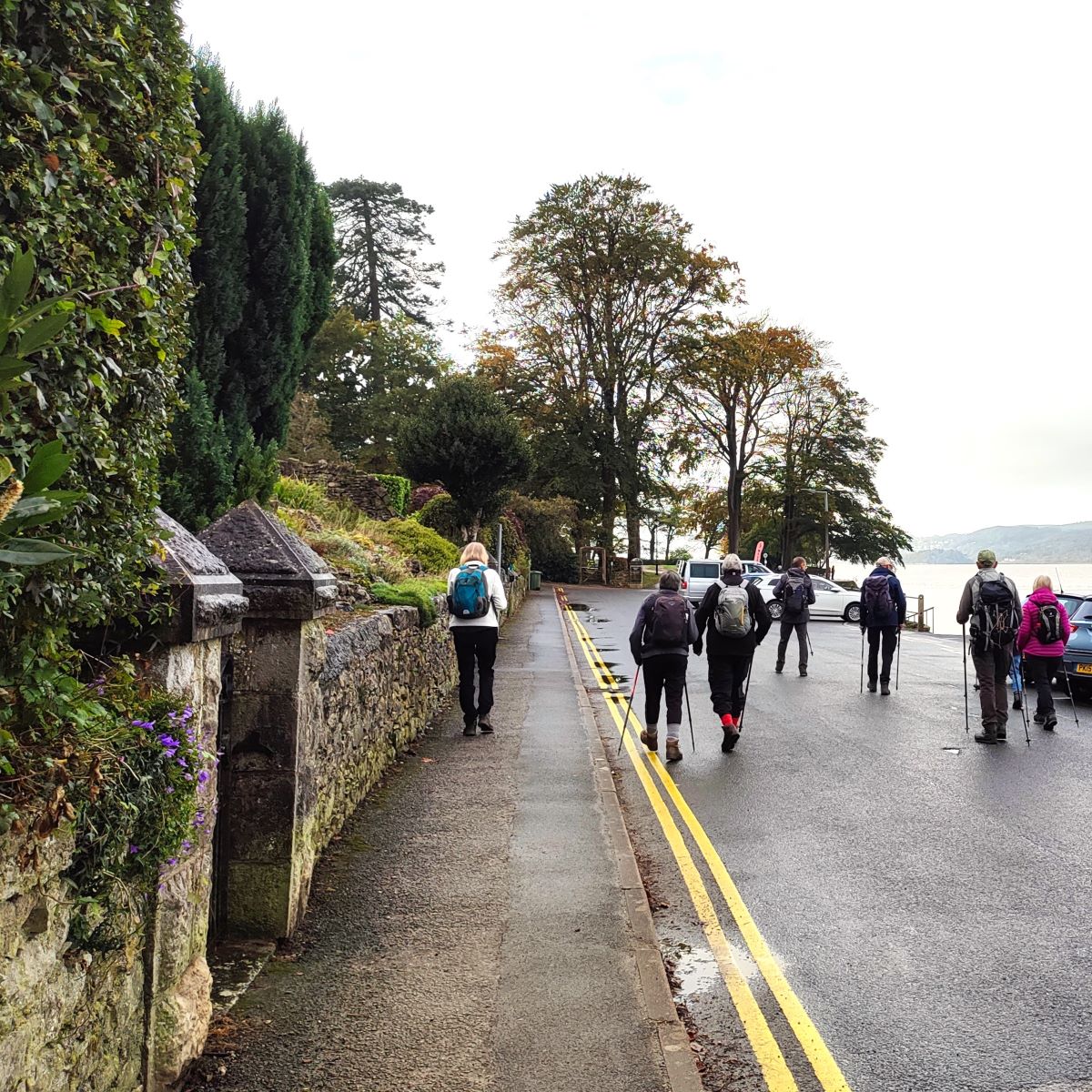
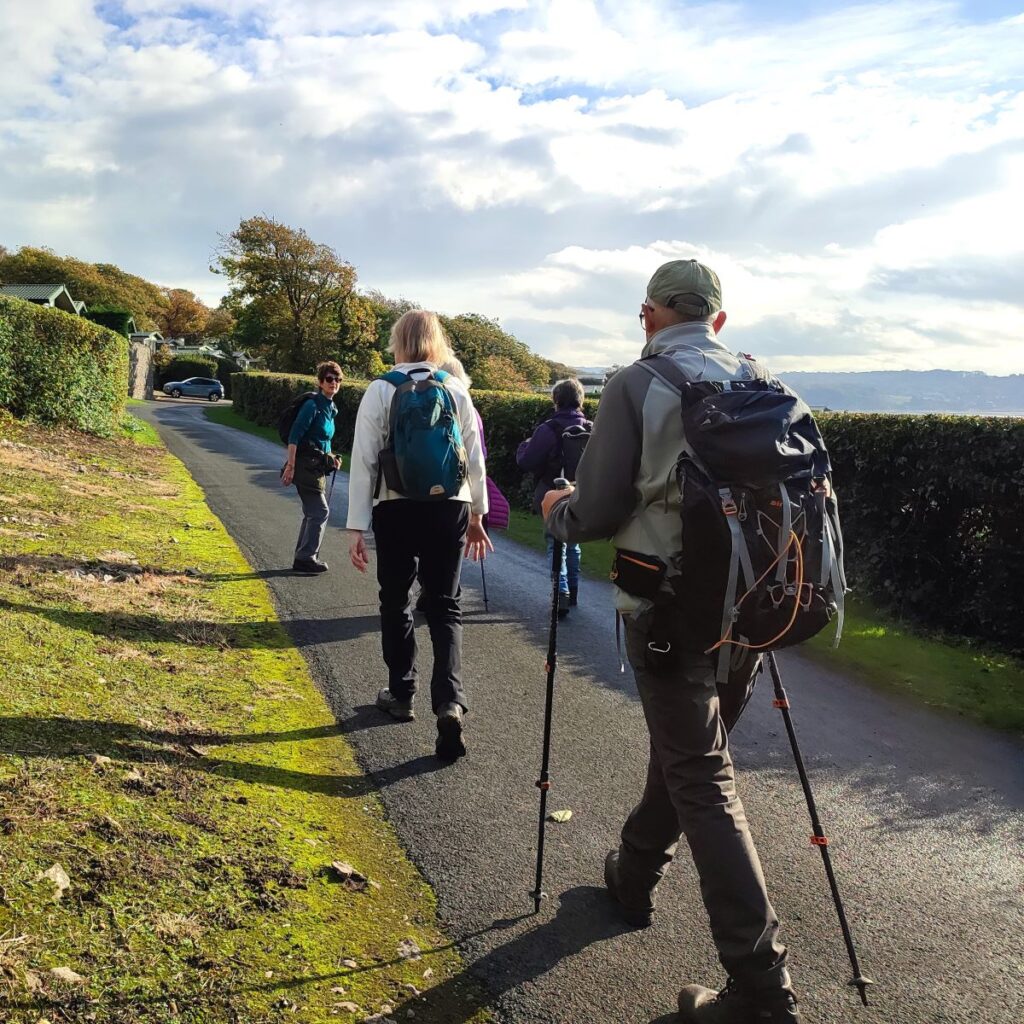
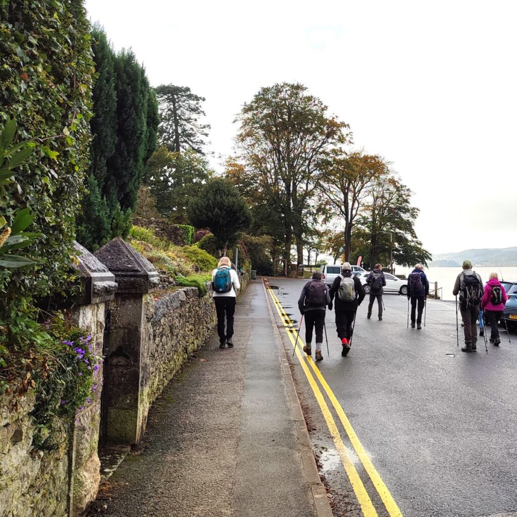
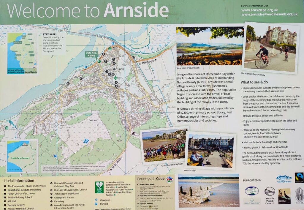
We start at Arnside – there is free parking available on the promenade for those arriving by car – but be aware that this is popular location, so during peak season an early arrival may be required. If you are relying on Satnav, then enter “The Promenade, Arnside” as an address or use the postcode LA5 0HA – the OS grid reference for the same location is SD45467866, and the what-3-word tag is cleanser.theory.trying.
As a green alternative, why not use the train to access this walk – you will be rewarded with great views on your journey, and the station is only 300m from the promenade.
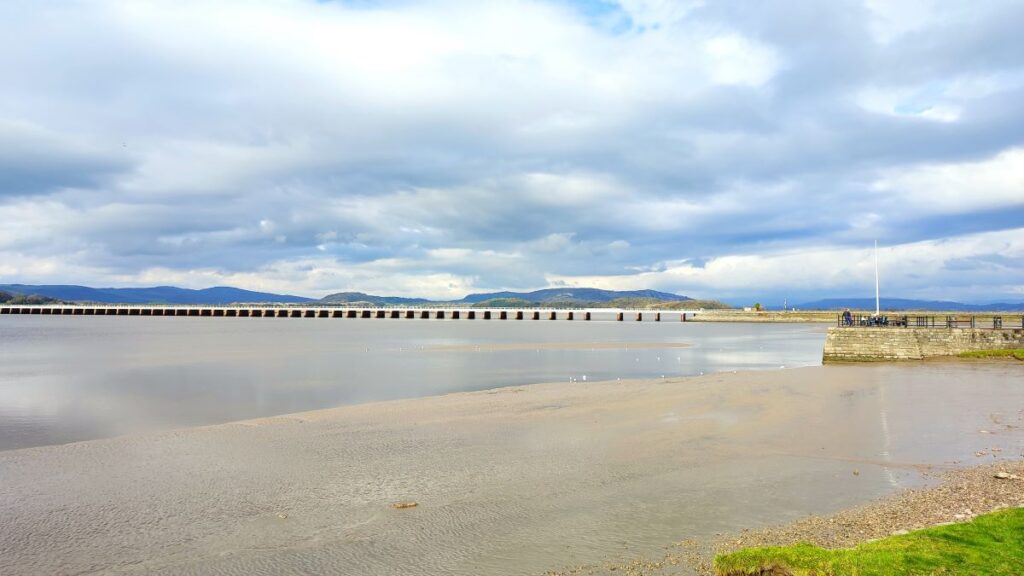
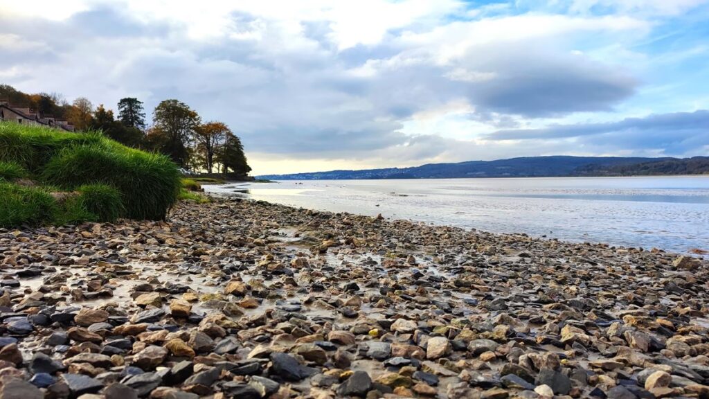
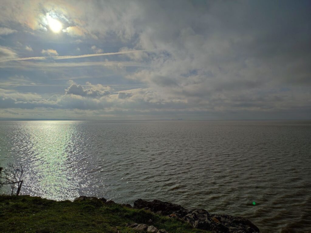
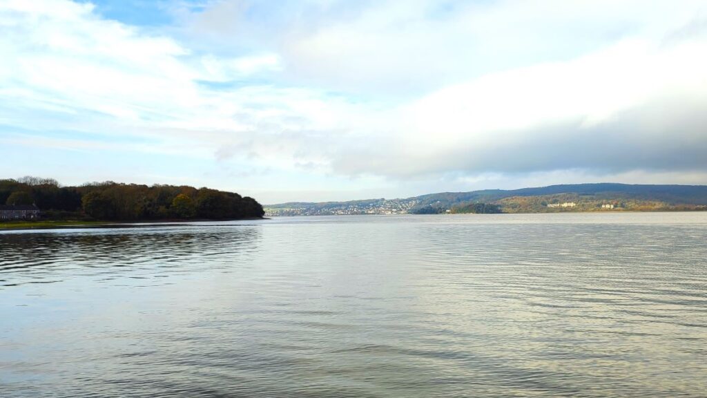
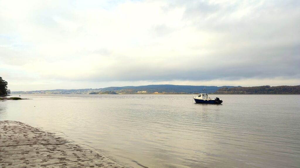
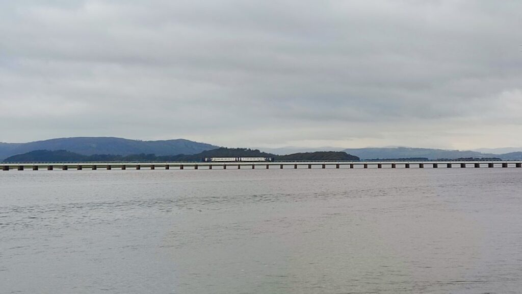
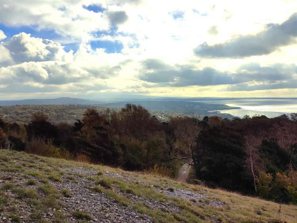
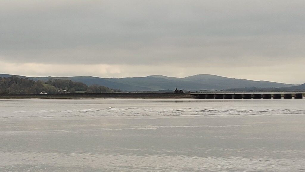
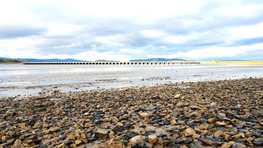
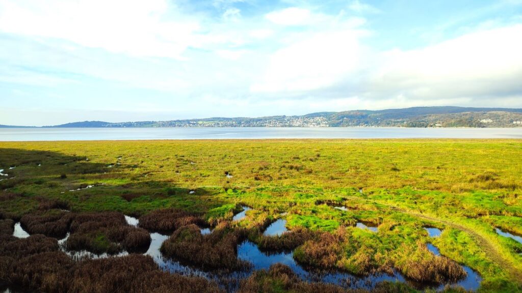
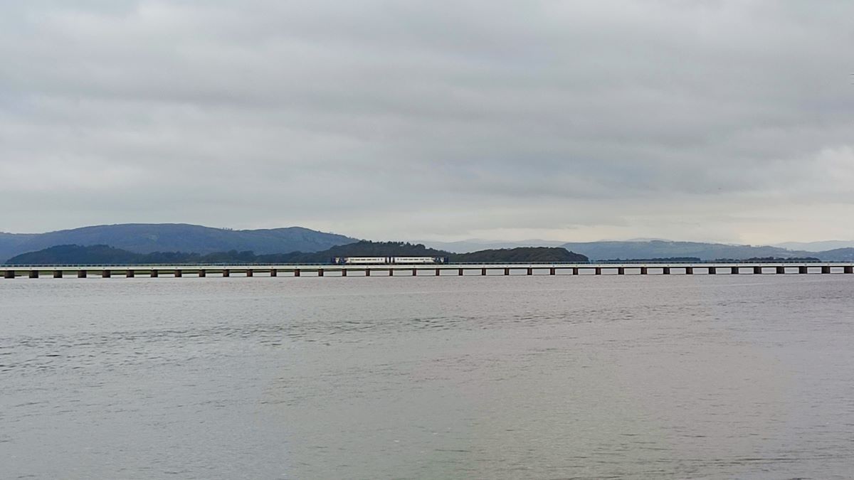
At the Promenade we have a great view of the Kent estuary, the railway bridge over to Grange-over-Sands, the shore at Grange, and on a clear day Foulshaw Moss, Whitbarrow, and Hampsfell.
The viaduct was built in 1857 to connect the new iron works at Barrow-in-Furness with the main line to London via Carnforth – this made a huge difference to the commercial viability of the works in Barrow, but was not without costs elsewhere: The placement of the viaduct here prevented ships accessing the higher reaches of the Kent Estuary and as a consequence, what had been thriving docks at Sandside just outside Milnthorpe were rendered unusable. A branch line from Arnside to Sandside, Heversham and Hincaster was installed, but this did not save the industrial areas.
Driving through Sandside today on the way to Arnside, it’s difficult to image that there was ever a port present, but Sandside had its own customs house, ten pubs, merchants houses and warehouses along the coast, and had a reputation as something of a rough area. All that remains now are builder’s yards and used car lots along with a small fragment of the original wharf.
The viaduct itself was a significant challenge to build, and a novel construction method was developed to enable it to be built at lower cost and in a faster time; high pressure water jets were used to dig out the sand and silt below columns which were drawn down into the mud until they hit bedrock.
As is the case with almost all railway bridges, there is no pedestrian access, but there is an ongoing campaign to add a safe pedestrian walkway so that Foulshaw Grange and Whitbarrow can be walked from Arnside.
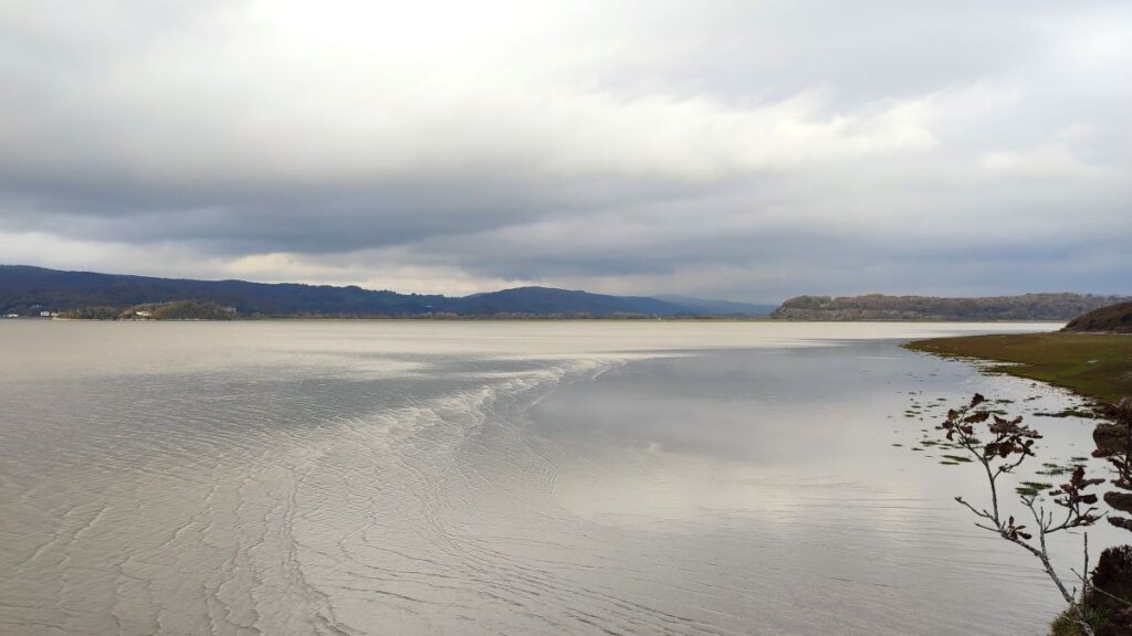
An interesting feature of the Kent Estuary is the high tidal range, which combined with the narrowing as Morecambe Bay gives way to the Kent, creates a tidal bore. This is a small tidal wave caused by the surge of the incoming tide meeting resistance from the sands and channels of the bay. The sun, moon, wind and rain can all affect the height and speed of the bore, so it is impossible to predict when it will be at its most spectacular, but it can sometimes come in as fast as a galloping horse – which is why you will see so many warning signs reminding you that the shore at Arnside can be dangerous.

The best chance of seeing a tidal bore is about 1 ½ to 2 hours before high tide, and you can find the daily tide times by clicking here Be aware though that being there at the right time is no guarantee of the bore even appearing – let alone being spectacular – that’s largely a matter of luck.
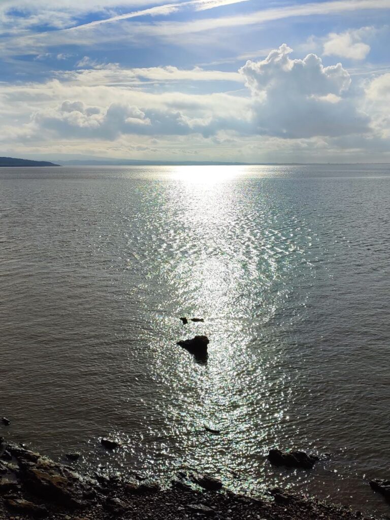
On the day of the group walk, a small bore was noted – visible as a series of rolling crests in this picture taken just a few moments after the one higher up the page. For a better view, with drone footage of the bore and the viaduct, there is an interesting YouTube video Or if you want to watch in real time, check the live camera here
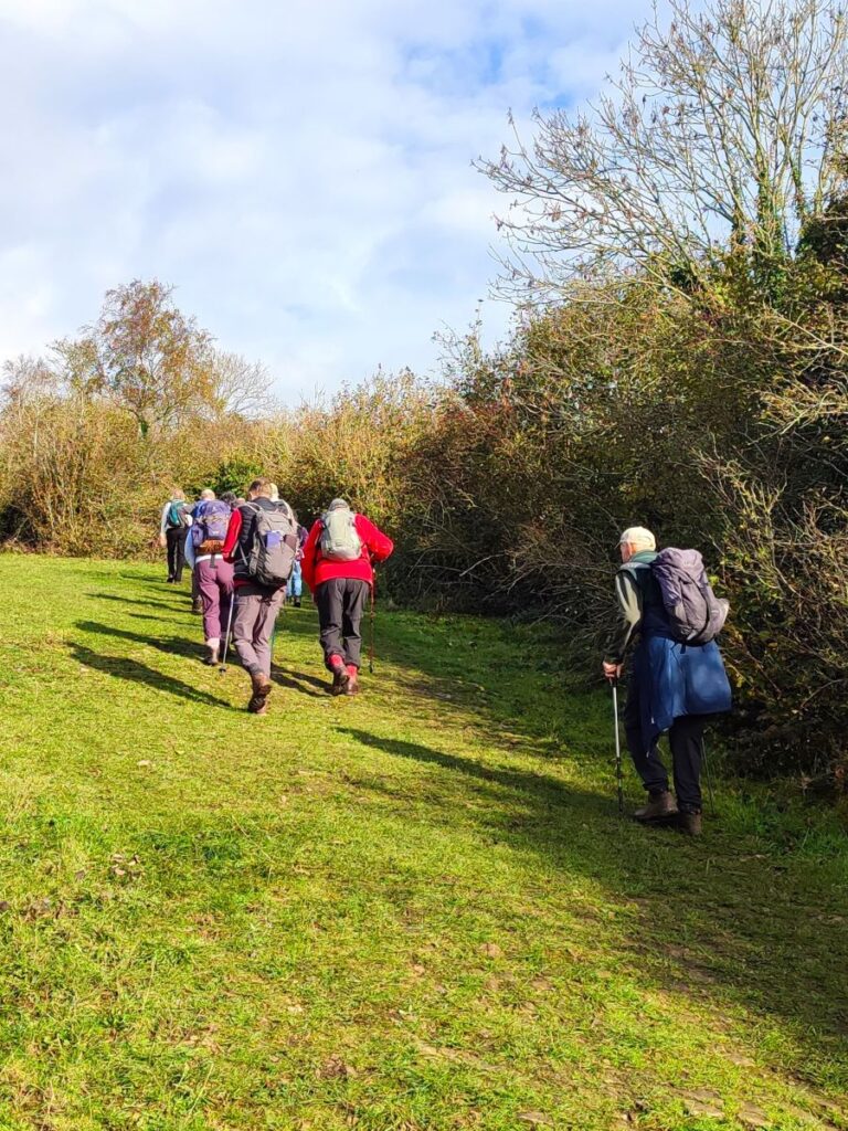
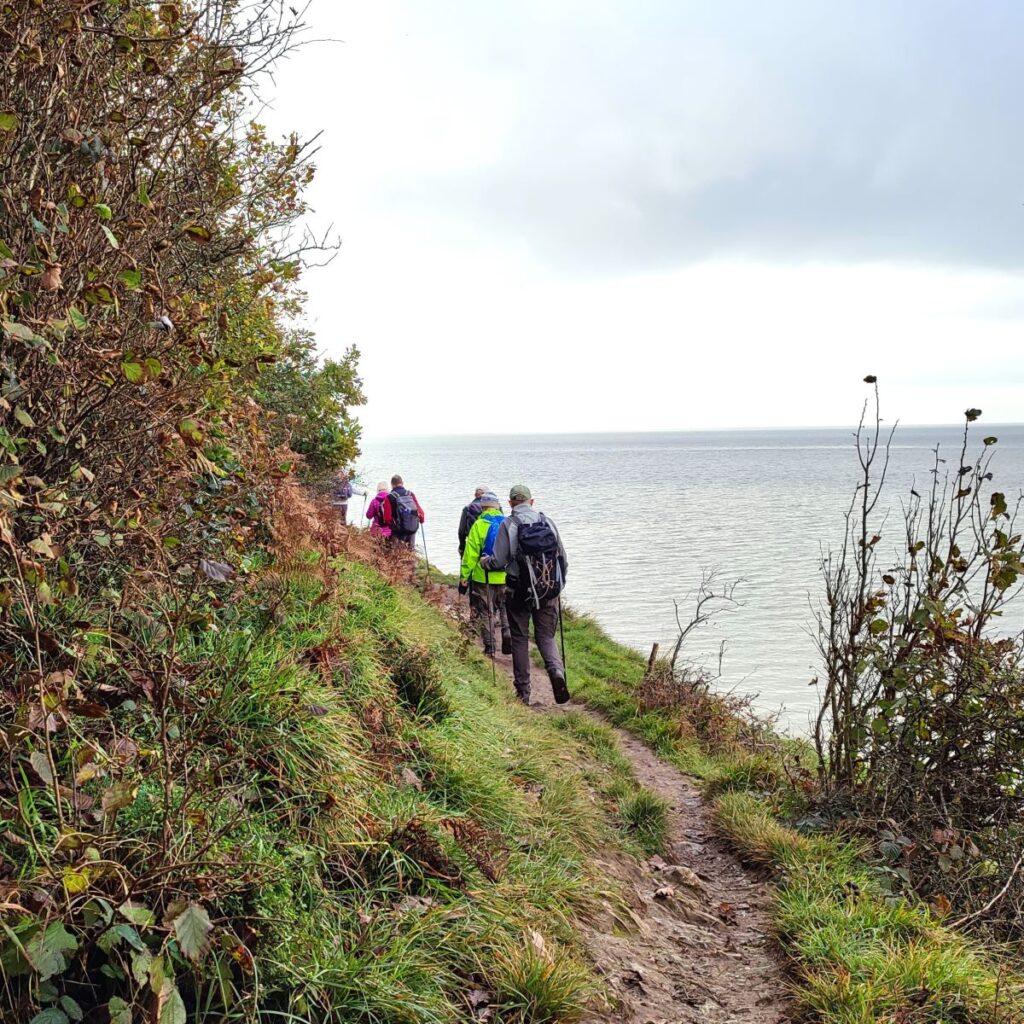
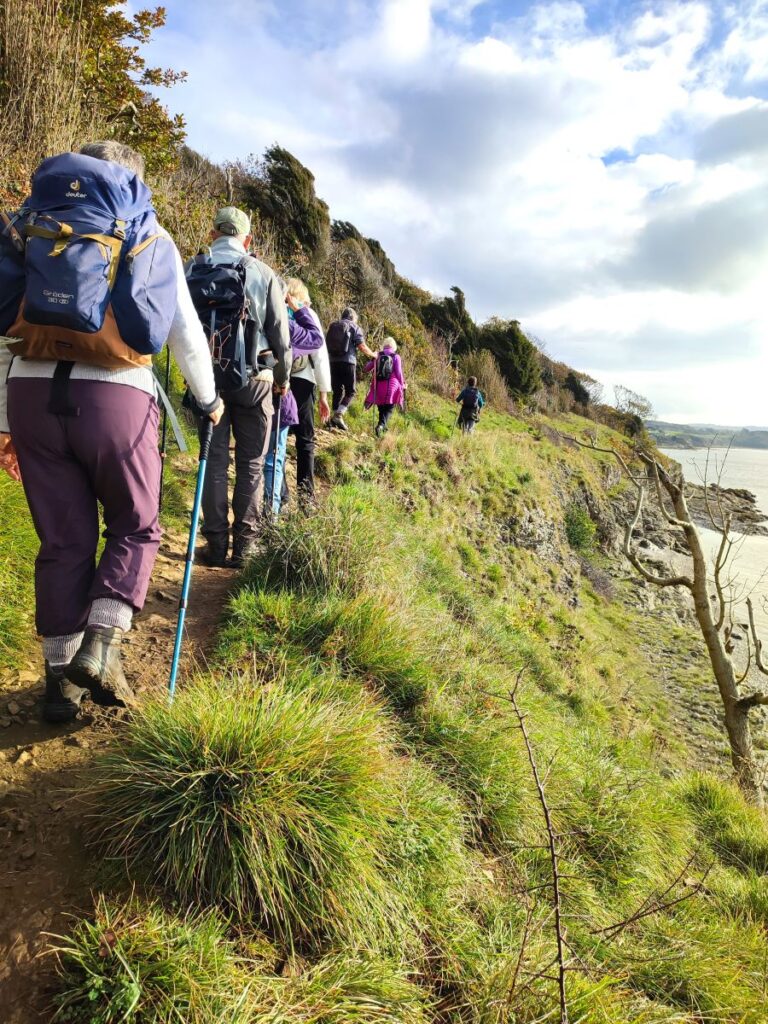
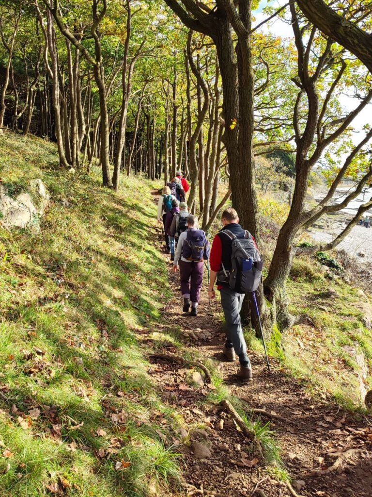
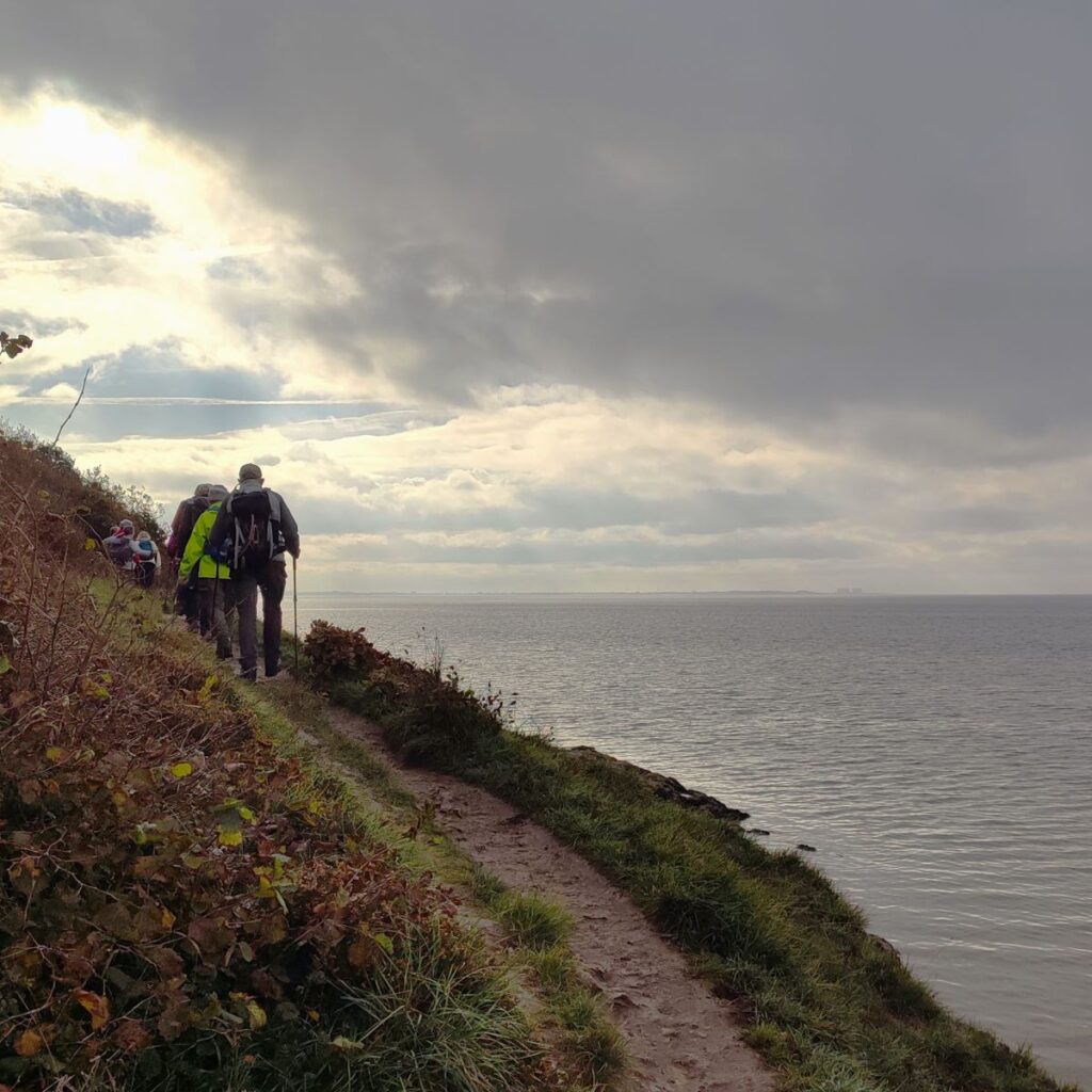
So, having parked and ideally enjoyed watching the bore pass upstream, we head downstream along the walkway at the end of the promenade. At first, this is a well-surfaced raised path which passes a rather grand house with great views across the estuary to Grange. Soon however we find ourselves walking on the foreshore, with the coastguard station ahead of us. The path continues around the edge of the coast, with Grubbins Wood on our left and the sands ahead.
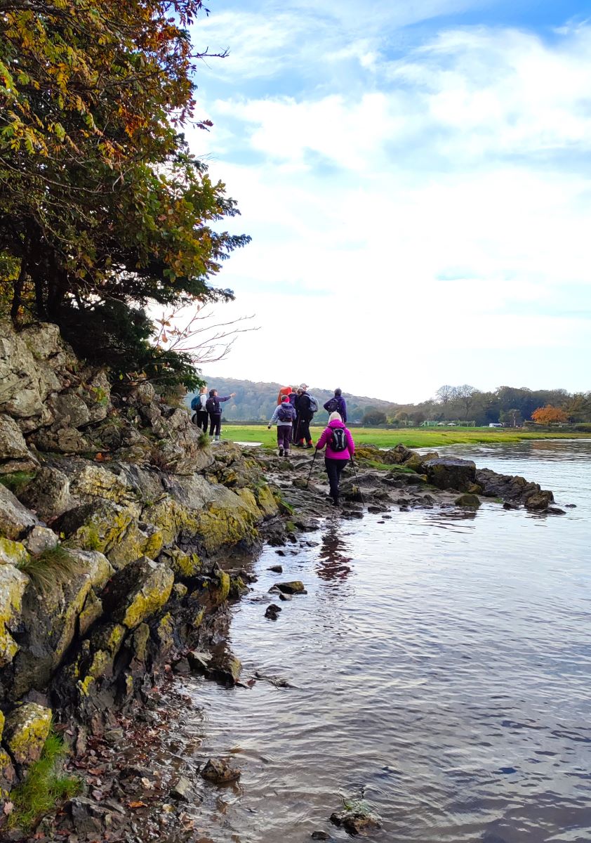
Depending on tides and weather some clambering over wet rocks may be required – so take care: It is possible that the route will be impassable beyond the coastguard station, and if this is the case, or if you are concerned about a rising tide, then there is an alternate route:
At the coastguard station head inshore on the access lane, turn right at the minor road then keep right, following the road for 500m until you get to a footpath – this comes back to the shoreline at New Barns.
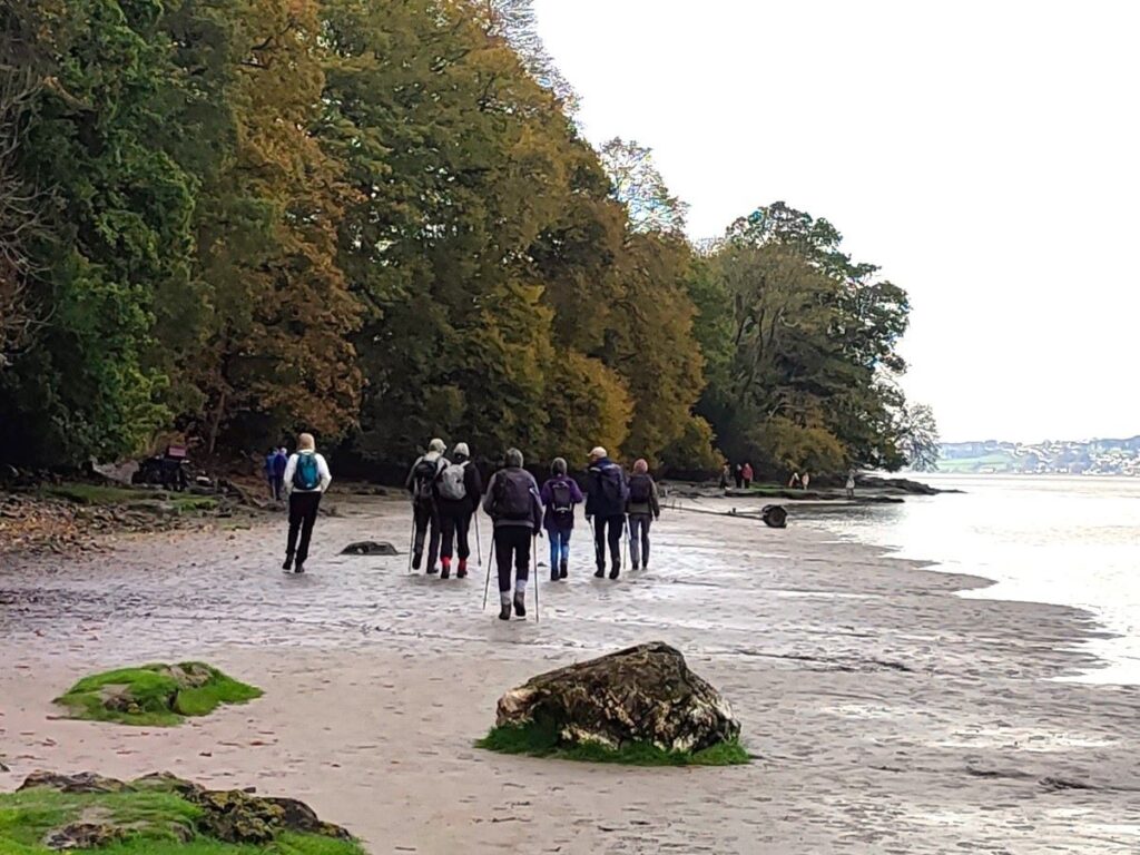
On most days, the route along the foreshore will be safe and more interesting than the diversion, so just follow the shore until we arrive at a roadway down to the caravan park at New Barns: This is a good place to watch egrets feeding on the edge of the estuary.
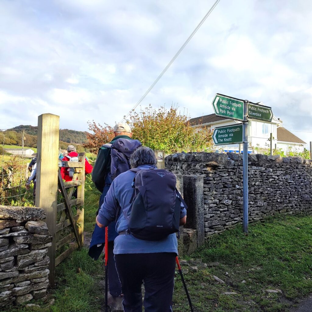
We walk down the access road to the caravan park and notice that just before we enter there is a signpost for a public footpath to the right: This goes all the way round the headland circling Frith Wood, and passing Blackstone Point before coming back up to the path we will be taking at Arnside Point. You might consider this to be an alternative to walking through the caravan park but be aware that it really needs low tides to be viable.
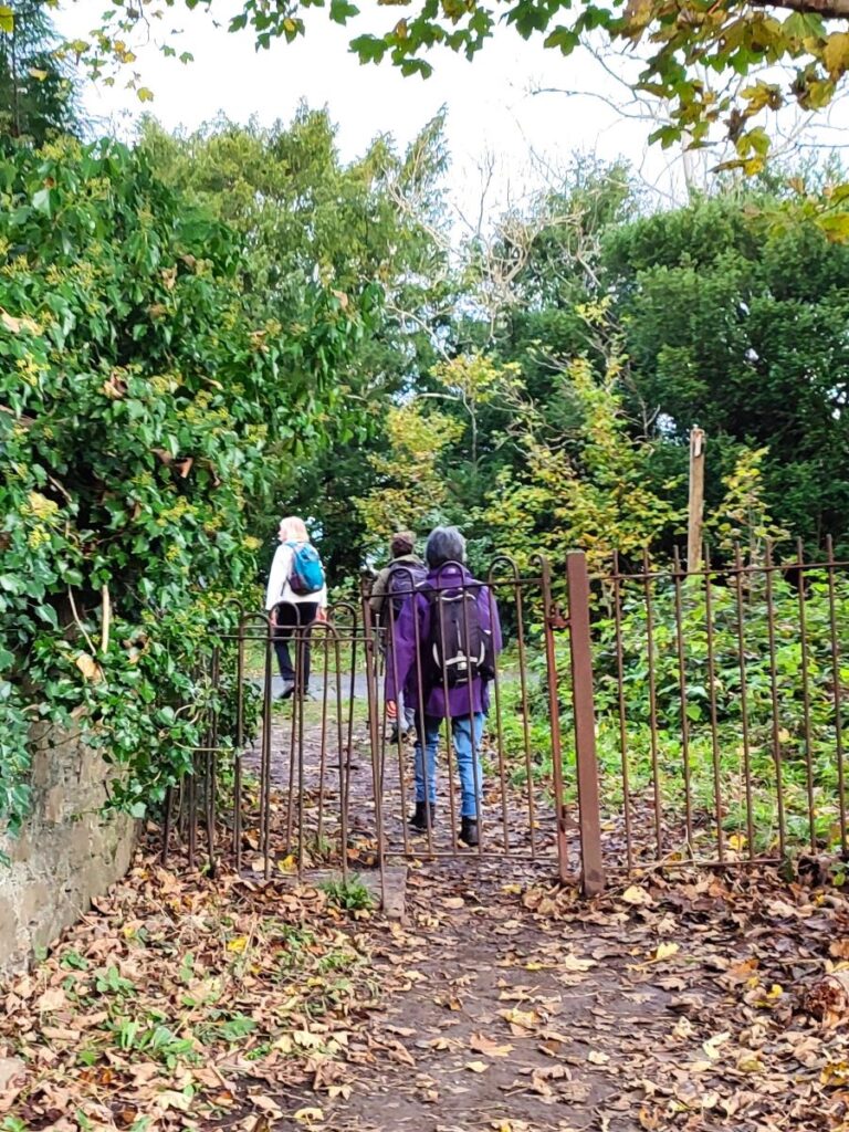
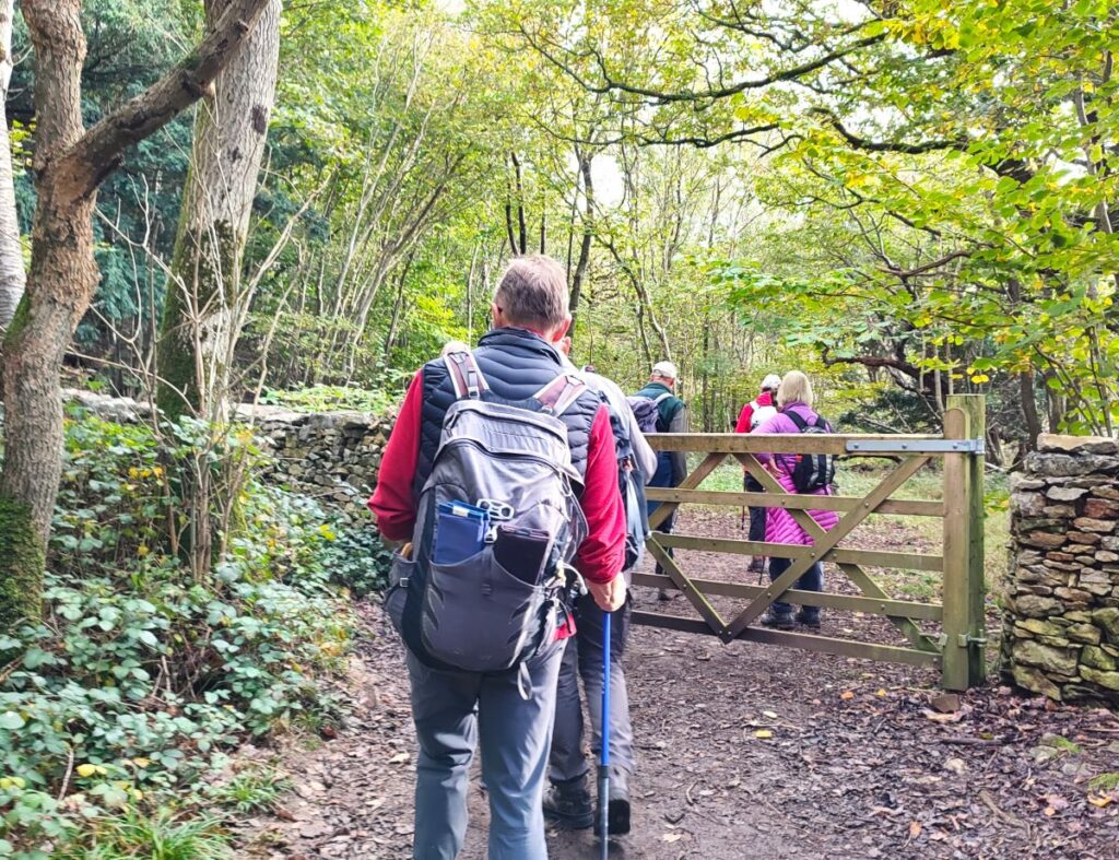
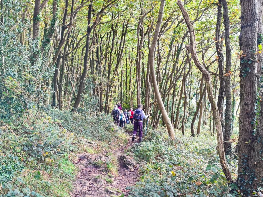
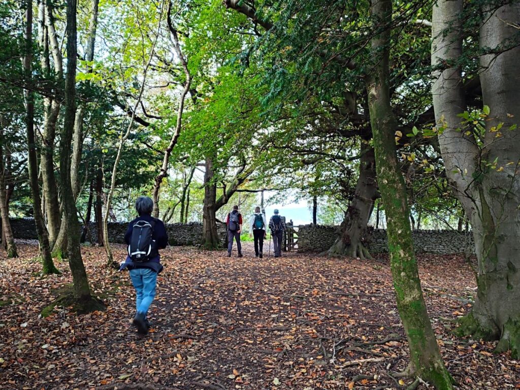
That was not the case for us, so we headed left along the road through the caravan park, before veering right (at a fork) then left at a public footpath sign indicating Far Arnside, heading uphill into the woods. We are in the woods for only 100m however before we arrive at a headland with great views of Morecambe Bay – this is where the path round Frith Wood rejoins.
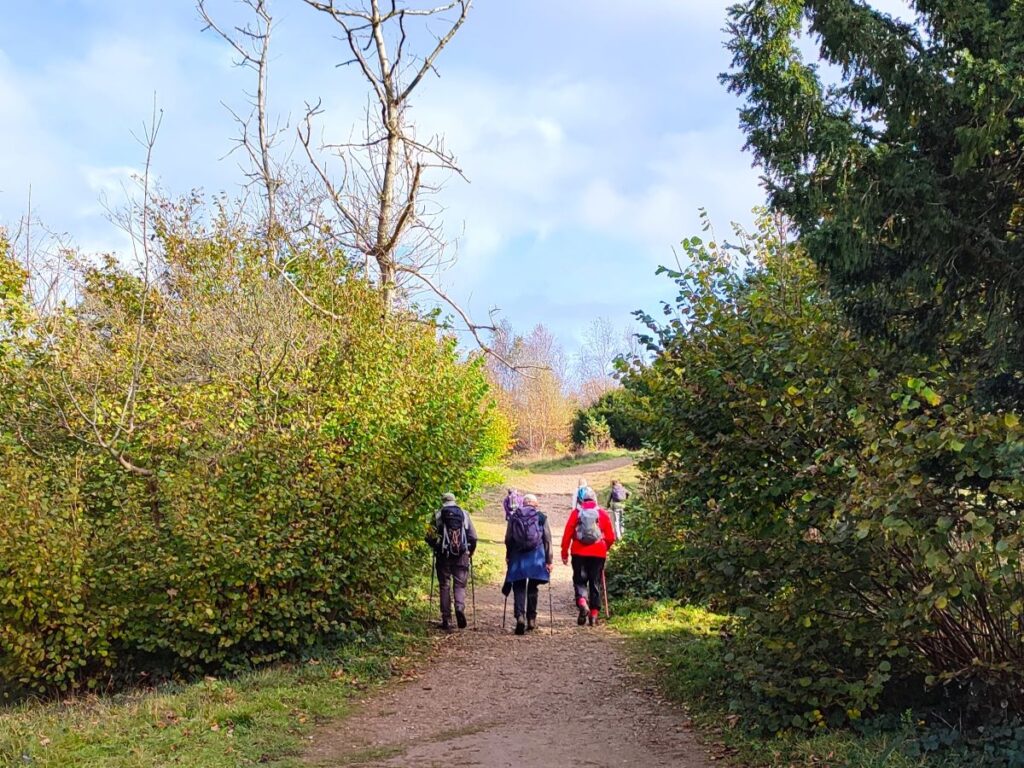
The path from here is very clear and circles around the headland – the woodland on our left is Arnside Park; a small part of the AONB, but one with so many paths and tracks that you could easily fill a day exploring this magical place.
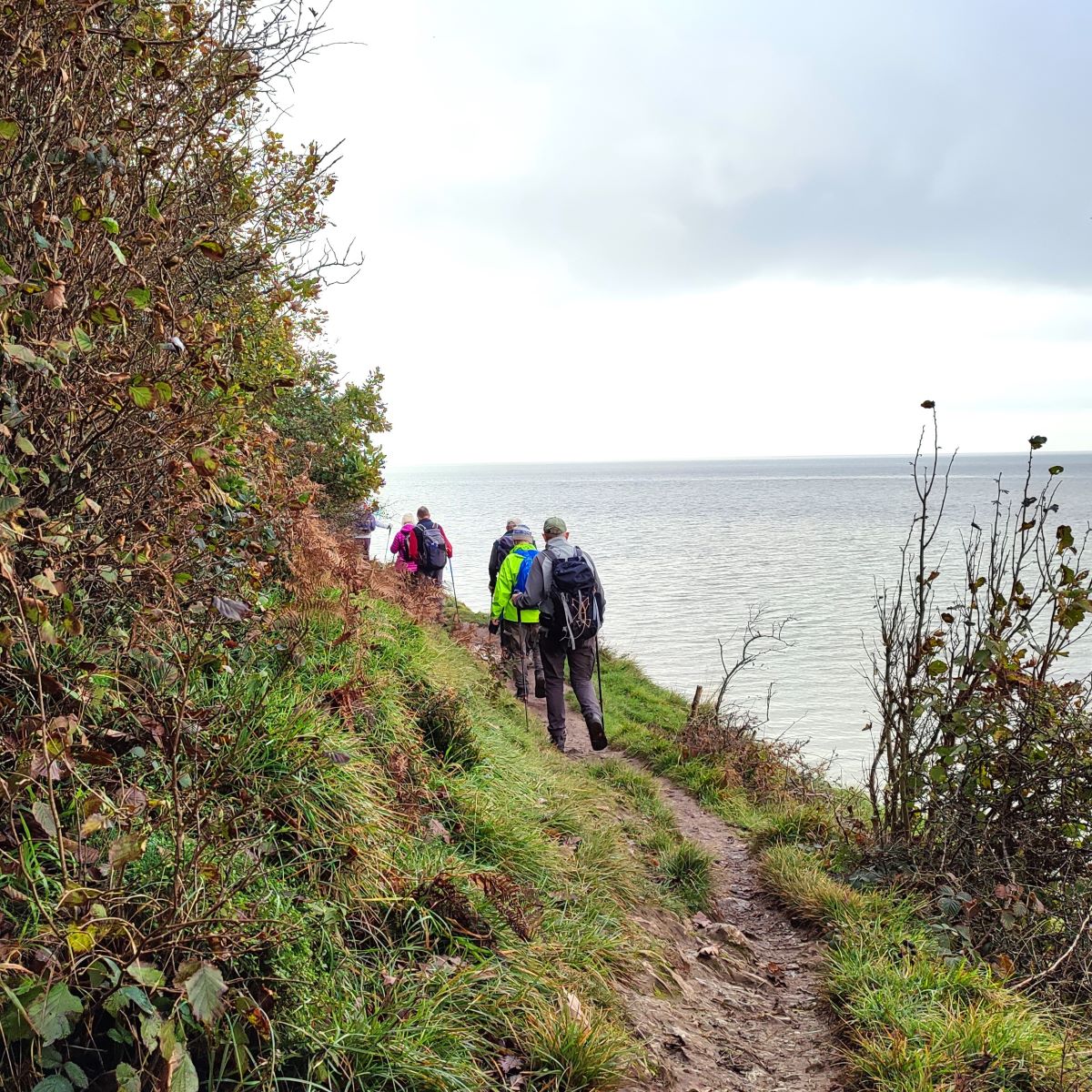
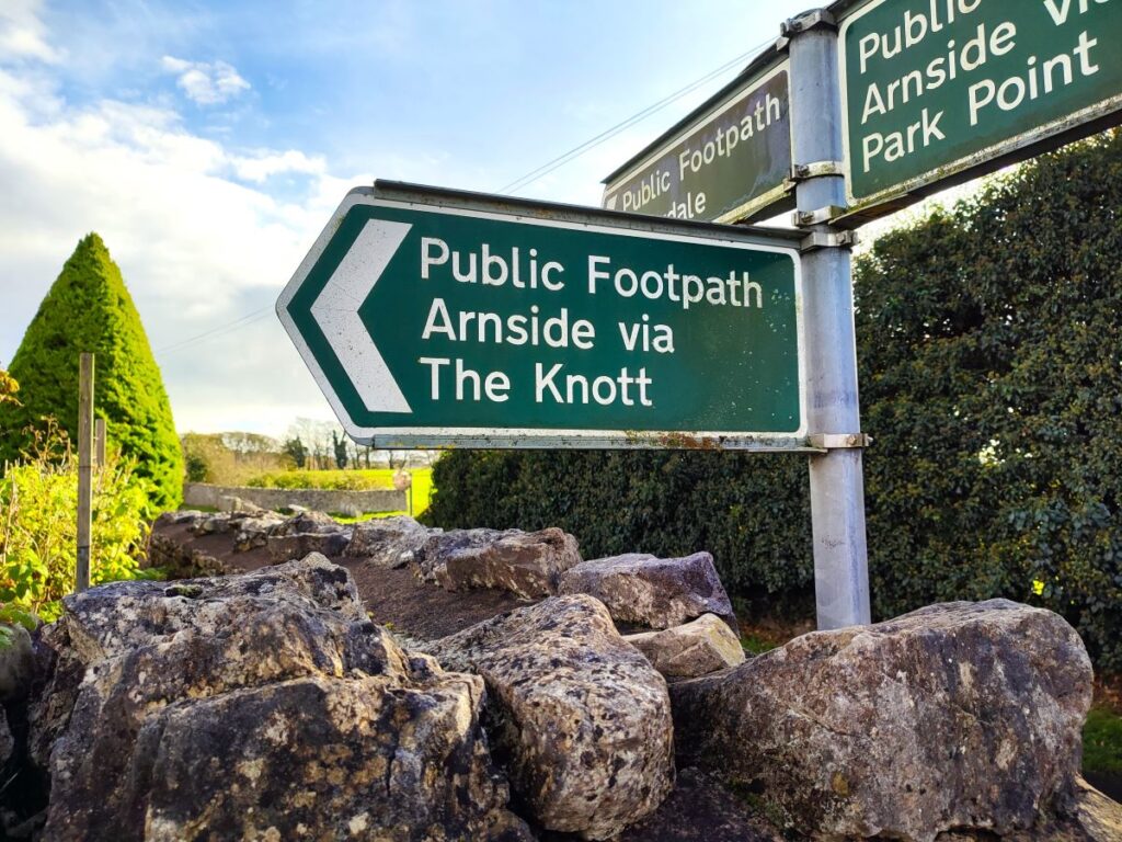
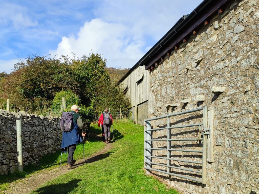
We follow the headland path for a while now until it emerges into another caravan park at Far Arnside. We follow the access road through the park – we are still following the shoreline – even if its not always visible, and we soon see the entrance barrier for the park. We pass this and continue along the road for about 100m until we find a path on the left heading toward Hollins Farm, and then Arnside Knott.
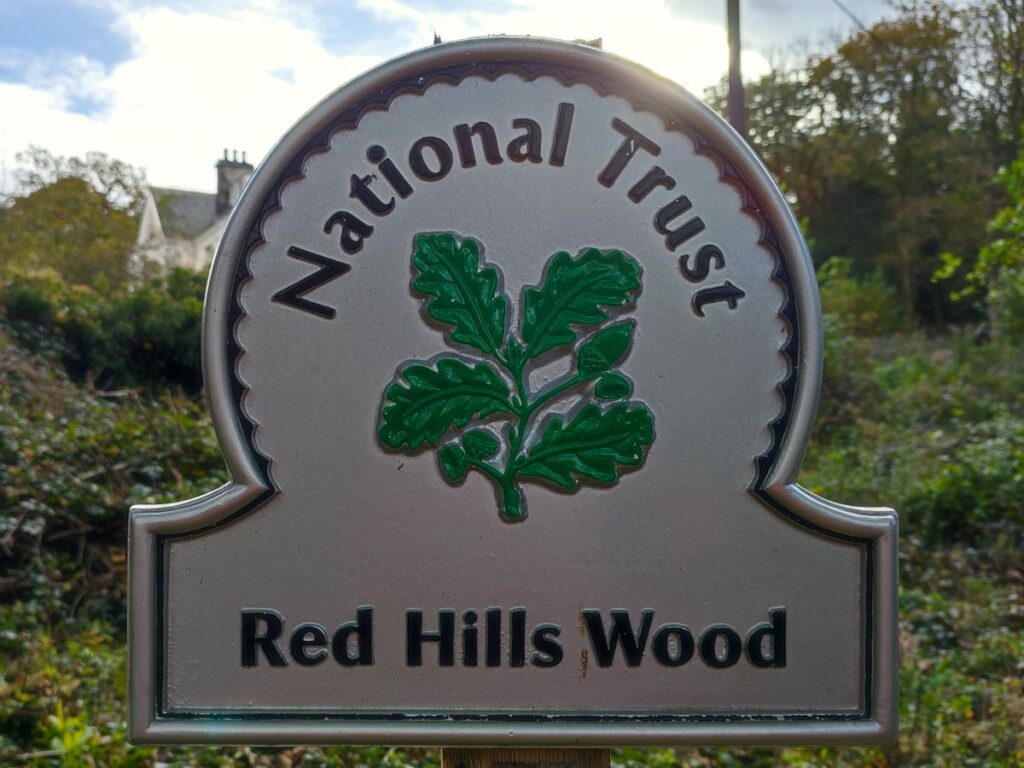
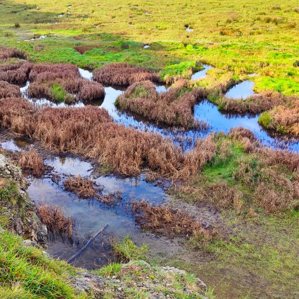
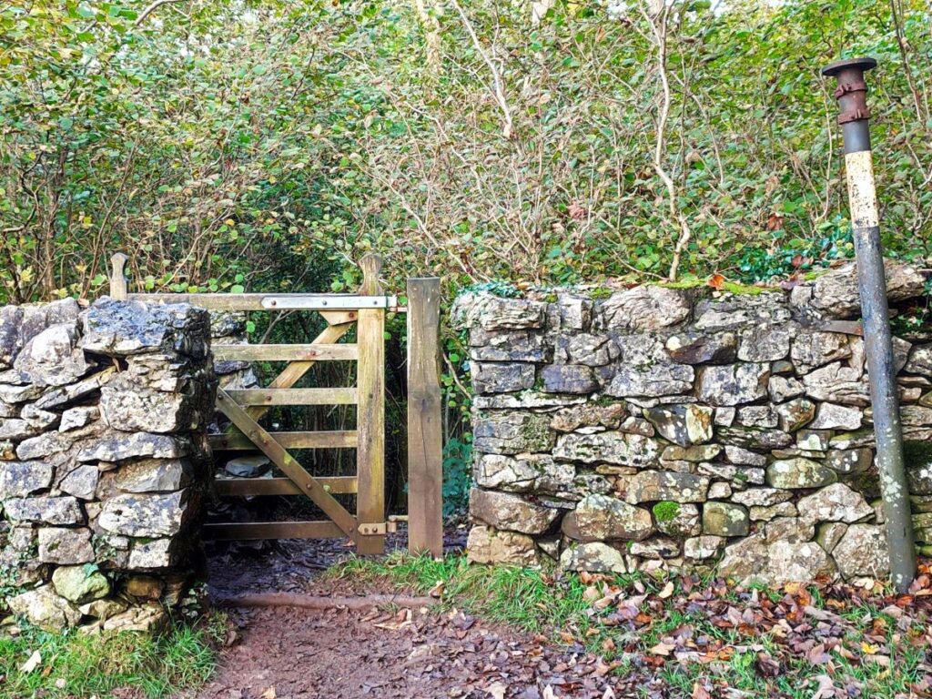
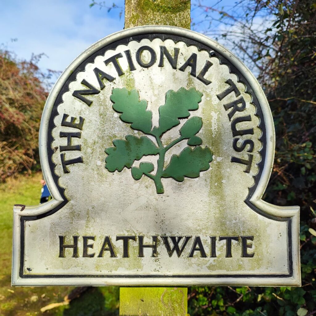
When we get to the farm the path up to the Knott is clearly signposted and takes us up the side of a barn to a gate onto the National Trust land at Heathwaite. We turn right once past the gate and follow a well worn path up the hill – we have good view over to the woods at Elslack and Middlebarrow on our right and may just catch a glimpse of Arnside tower – though we may need to come off the path and down to the drystone wall to see it properly.
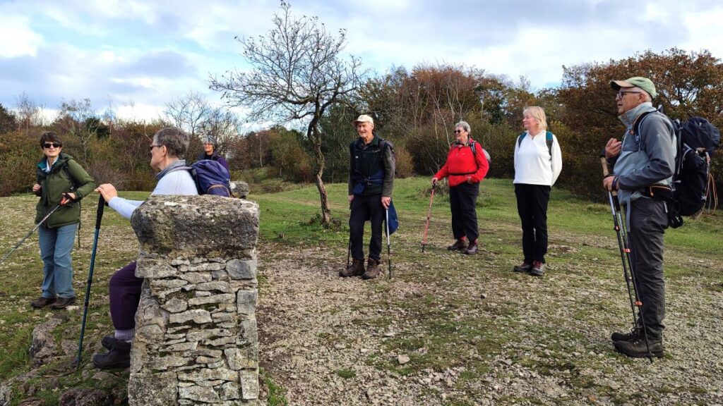
We climb for a little while now – keeping the drystone wall on our right and soon arriving at a gate onto the Knott. From here there are many paths that we could take – almost too many in fact, so to be sure to follow the route described, we recommend using the GPX track. If you do take a slightly different route, it really does not matter too much though – just head up to the top and you will always find the path along the ridge at the top of the Knott.
At the gate onto the Knott, looking forward to the bench we see here, you will see a path heading right – this goes to Arnside Tower. On the left is another path which contours around the back of the Knott. Our route is ahead, climbing quite steeply into the woods.
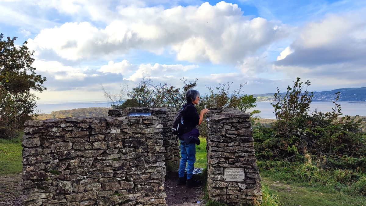
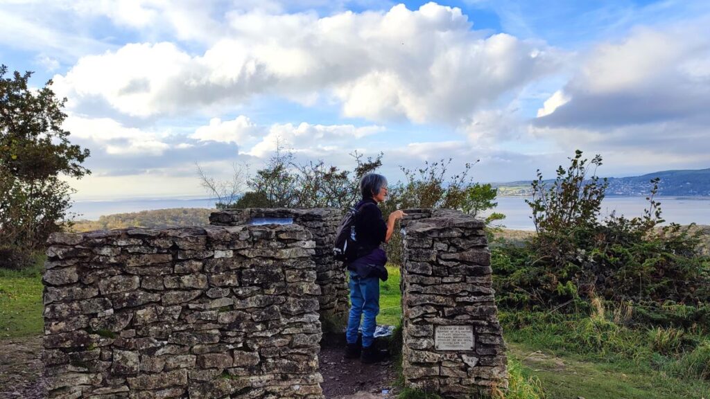
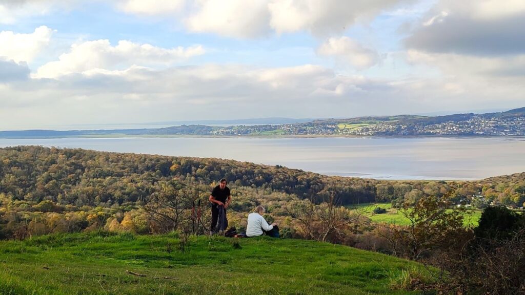
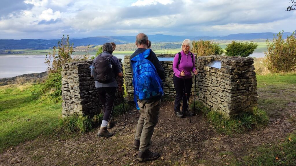
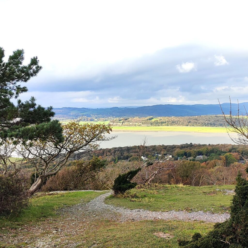
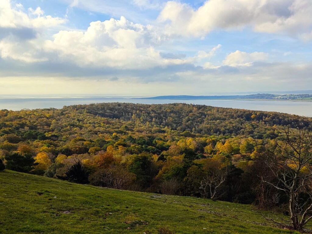
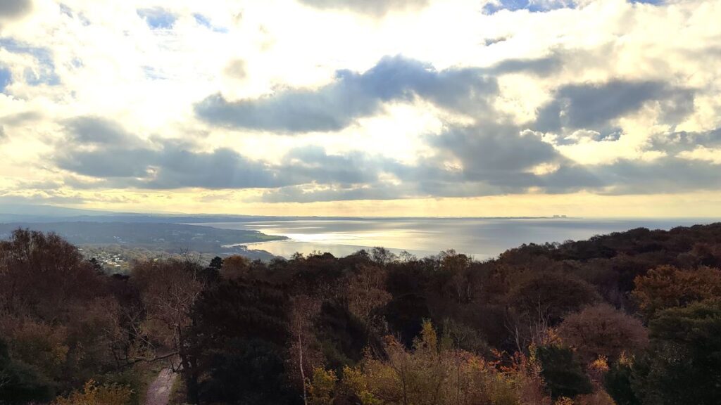
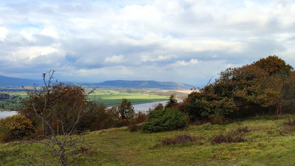
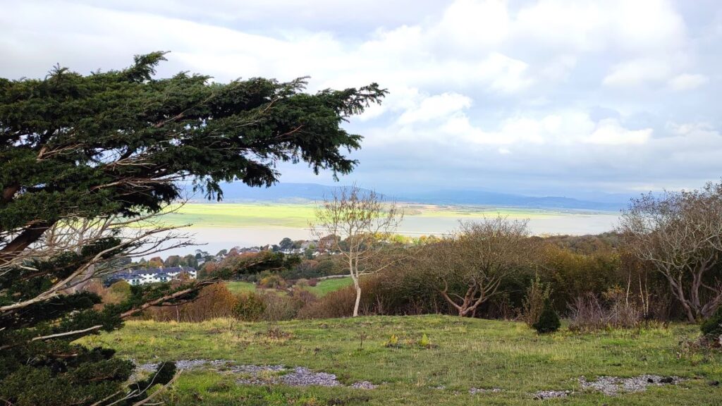
This soon curves round to the left, and then sharp right climbing up a clear path into Arnside Knott Wood. As we get toward the top, the path levels out and we keep our eye open for a smaller path leaving on the left – this heads over to a viewpoint which on a clear day offers great views of the Kent Estuary and Morecambe Bay. We were lucky with the weather so took the opportunity to visit the viewpoint with a series of three toposcopes showing the peaks and landmarks that can be seen from the Knott. This is a good place to take a break before coming back to the path along the ridge and up to the top of the Knott.
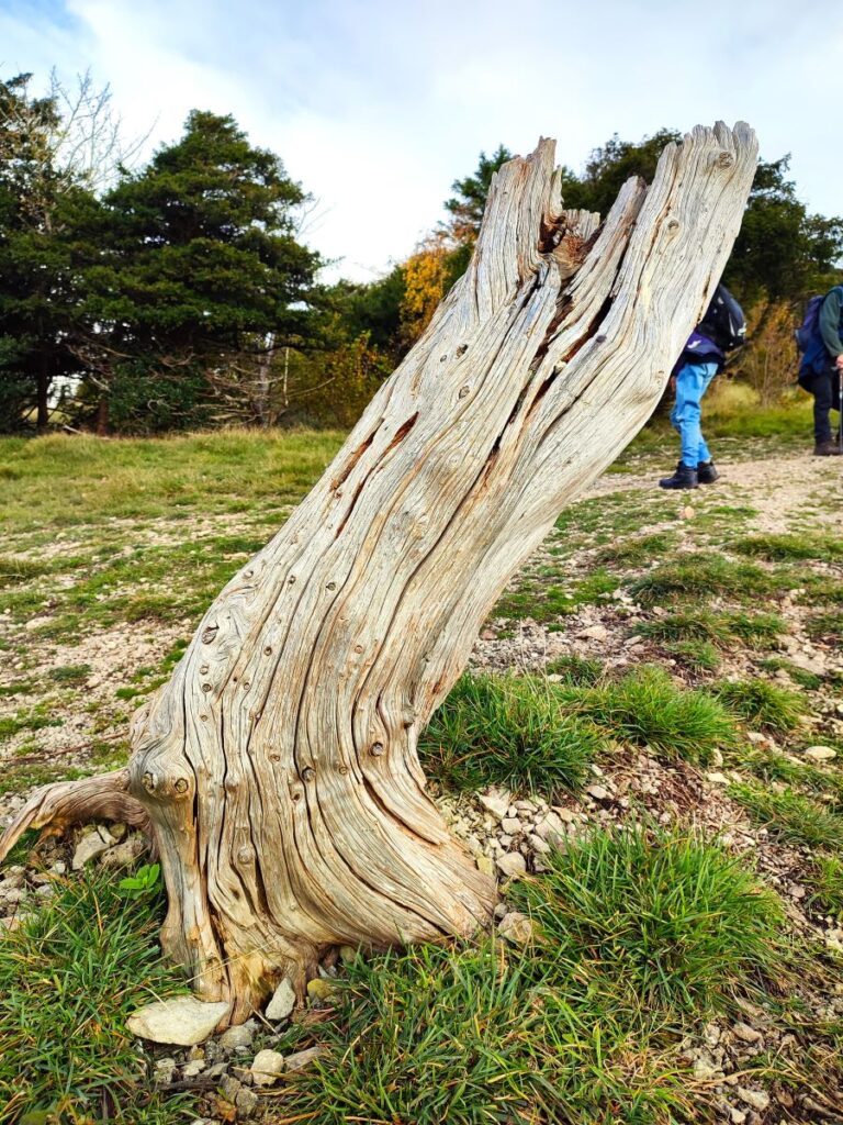
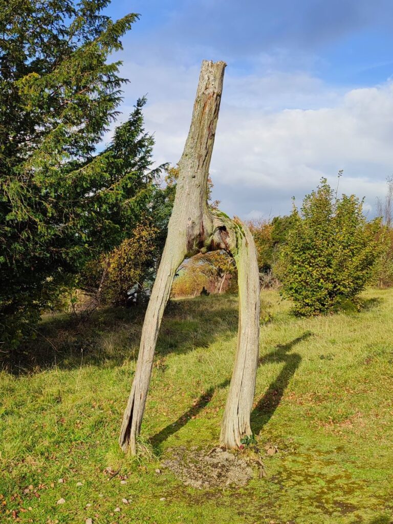
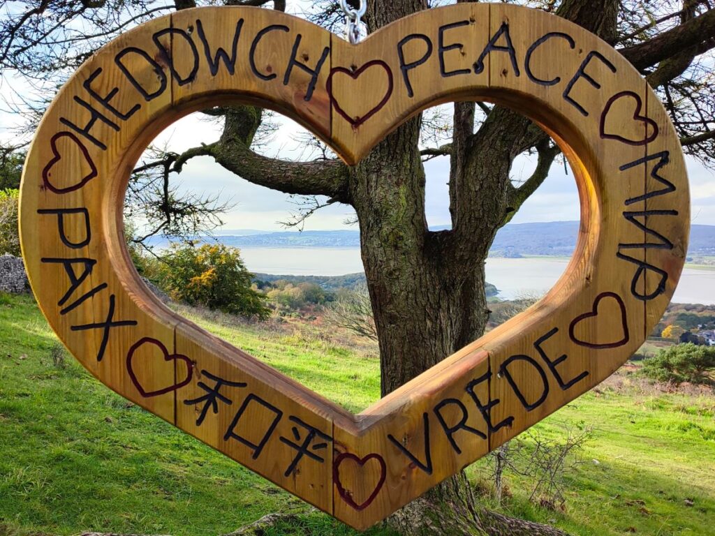
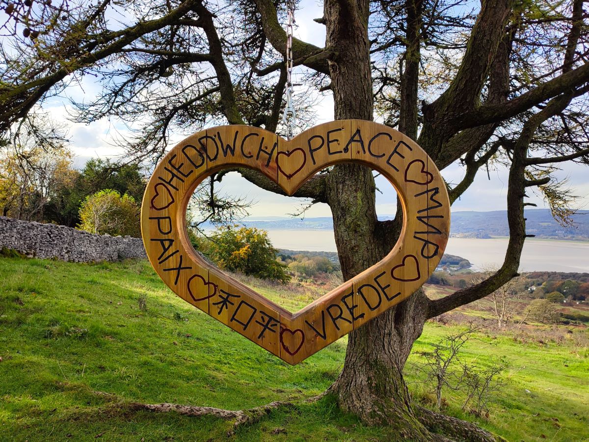
Having returned to the main path, we head right and continue for about 300m, at which point we are just below and to the left of the trig point at the peak of the Knott. The path forks here and we take the left hand option crossing through a drystone wall and then heading diagonally downhill through an open field – pausing to enjoy the artworks here.
On the way down, we see a gate into the woods on our right – we ignore this and carry on right to the bottom (North) corner of the filed where there is a further gate into Dobshall Wood.
The path from here is clear and heads North through the woods to emerge 250m later onto a minor road.
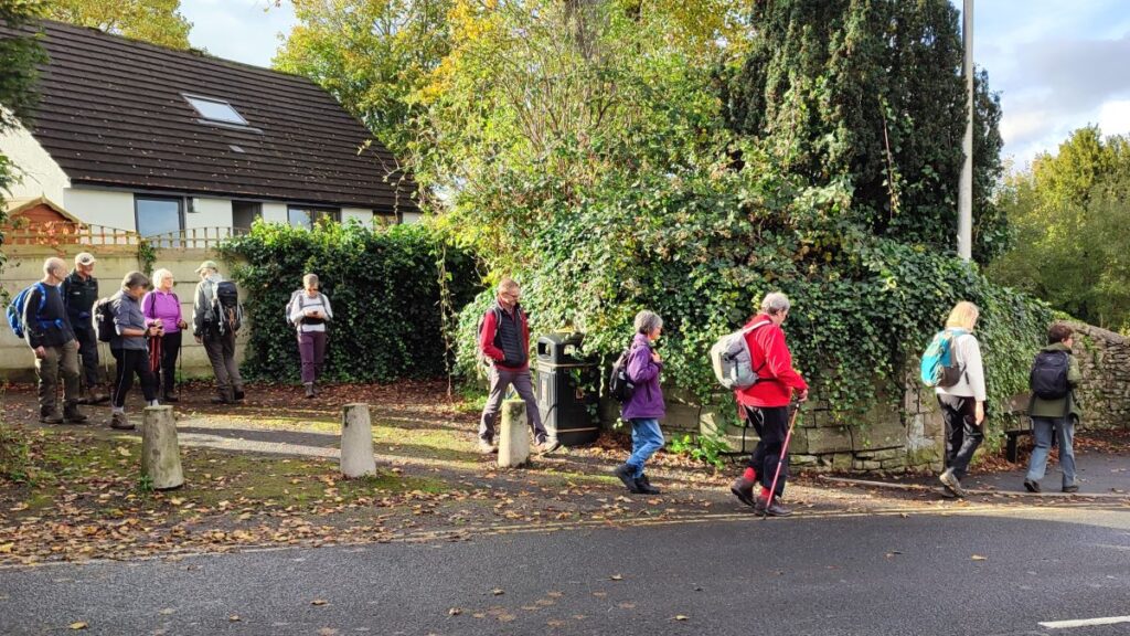
We turn left here and walk along a row of rather fine Victorian Villas, to a hairpin, and then back on ourselves and downhill to a minor road – we are now back in Arnside.
To get back to our starting point we head right at the road junction (uphill) and follow the road round to another junction. Here we go left and follow a path along the roadside before continuing downhill and back into the village centre.
Useful links: