Jump to . . .Step by Step | OS Map | Downloads | Gallery | Fly through
The two Langdales referred to in the title are Great Langdale and Little Langdale – in effect two parallel valleys separated by Lingmoor Fell.
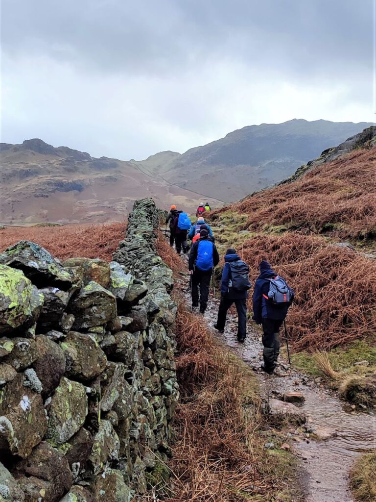
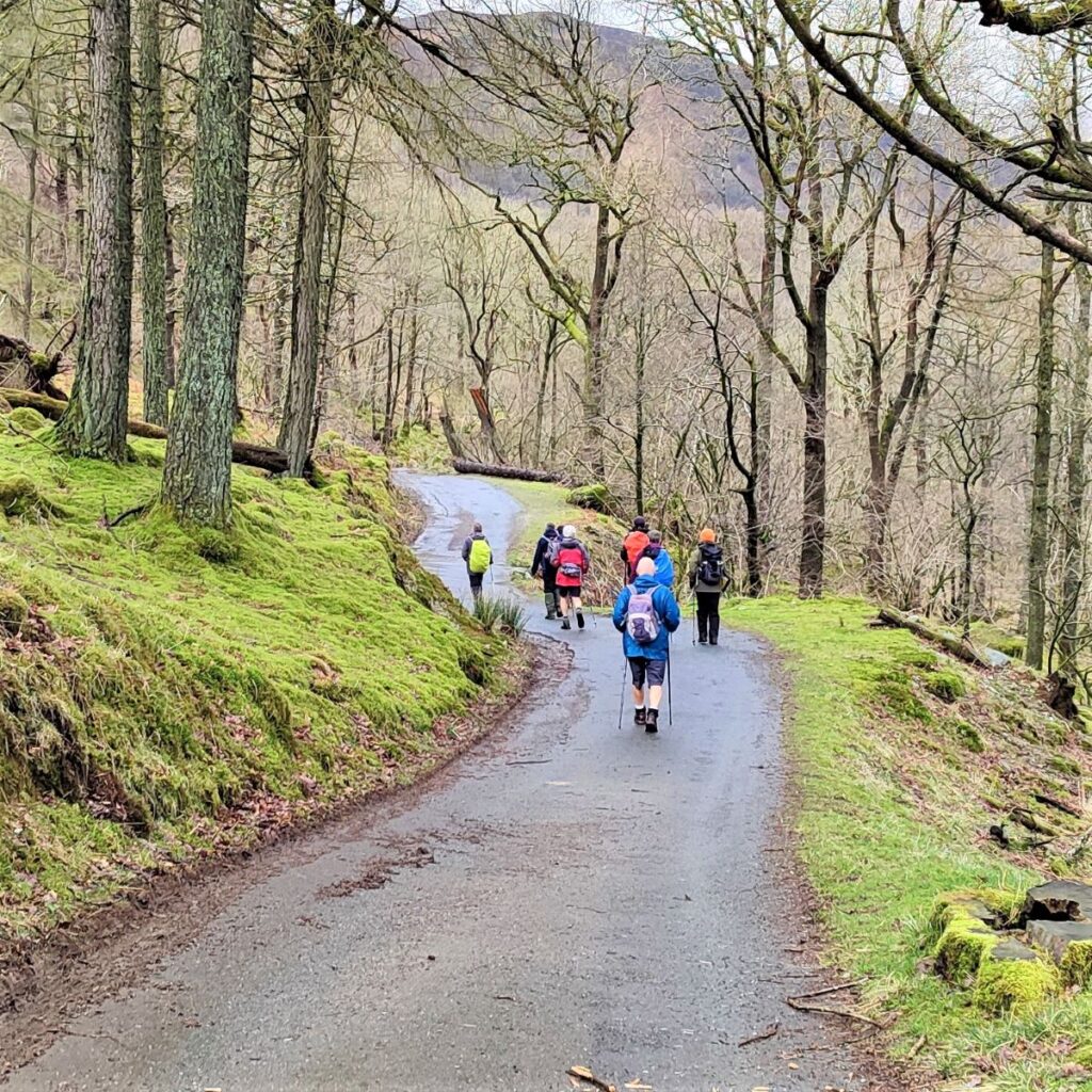
Starting from Elterwater, we head up the valley along the gentle woodland paths of Great Langdale with Lingmoor Fell on our left and Chapel Stile on the right across a surprisingly flat valley with very steep sides. We then follow the direction of the beck upstream to Oak Howe where we pick up the Cumbria Way enjoying fantastic views of Dungeon Ghyll Force as we follow the path round the back of Side Pike to cross over a short but steep ridge into Little Langdale.
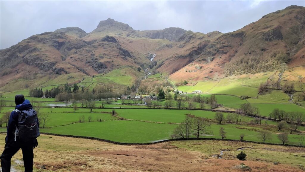
Pausing at the top of the ridge we have great views up Langdale and Oxendale, before we follow the path round and descend into Little Langdale, passing Blea Tarn on the way. A short road section on the Wrynose Pass road takes us down to Fell Foot Bridge where we head across fields to Slater Bridge and Little Langdale Tarn before we pick up a track back to Elterwater.
This is a walk so good they named it twice.
- Total distance 14.2 km (8.8 miles)
- Total ascent 462 m
- Moderate walk
Step-by-Step

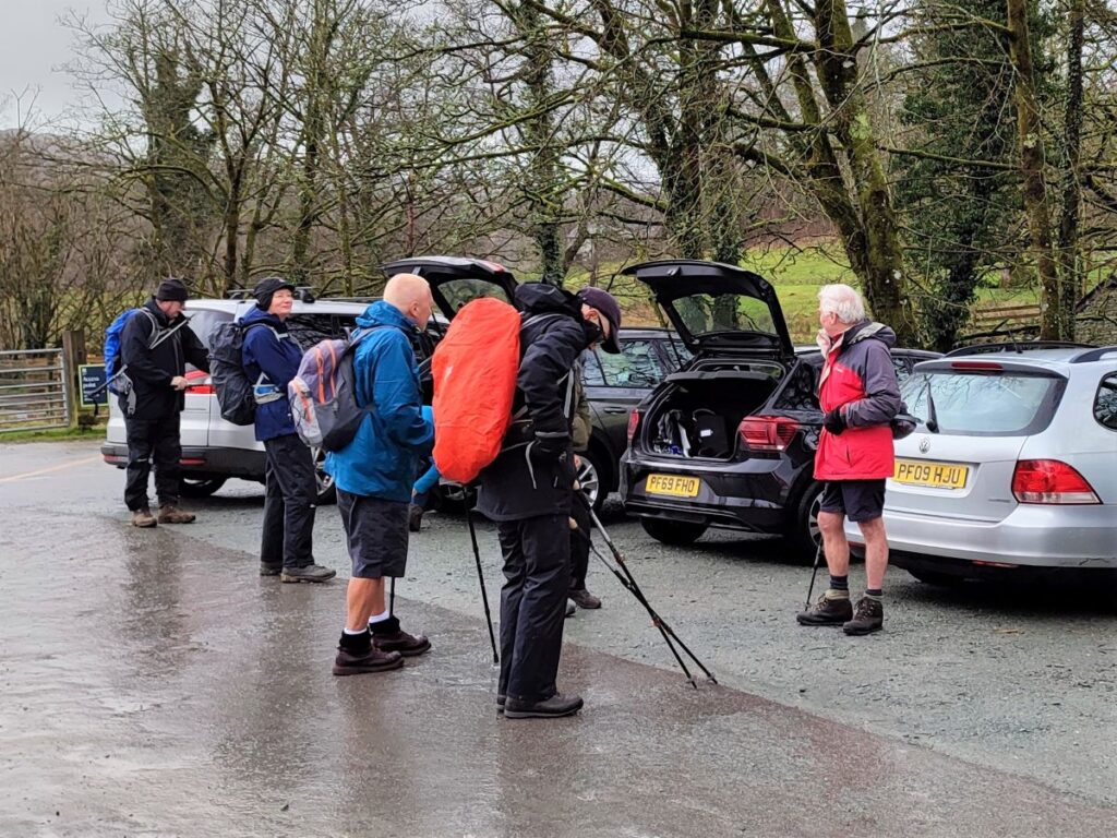
Elterwater is the name of both a small lake and the village at its Northern end. We are heading for the National Trust Car Park opposite Elterwater Bridge as our starting point. If you are using Satnav to get to Elterwater, the postcode for that part of the village is LA22 9HR, and the road name Mill Row should get you within sight of the car park.
If paper maps are your preference, then the grid reference is NY327047 and the what-3-words tag indoor.merchant.ruling will pinpoint the car park. Note that the carpark is a National Trust facility, so if you are a NT member parking is free by scanning your membership card at the ticket machine. Toilets are available at the car park entrance.
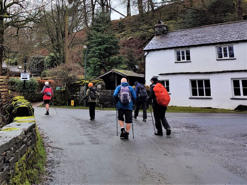
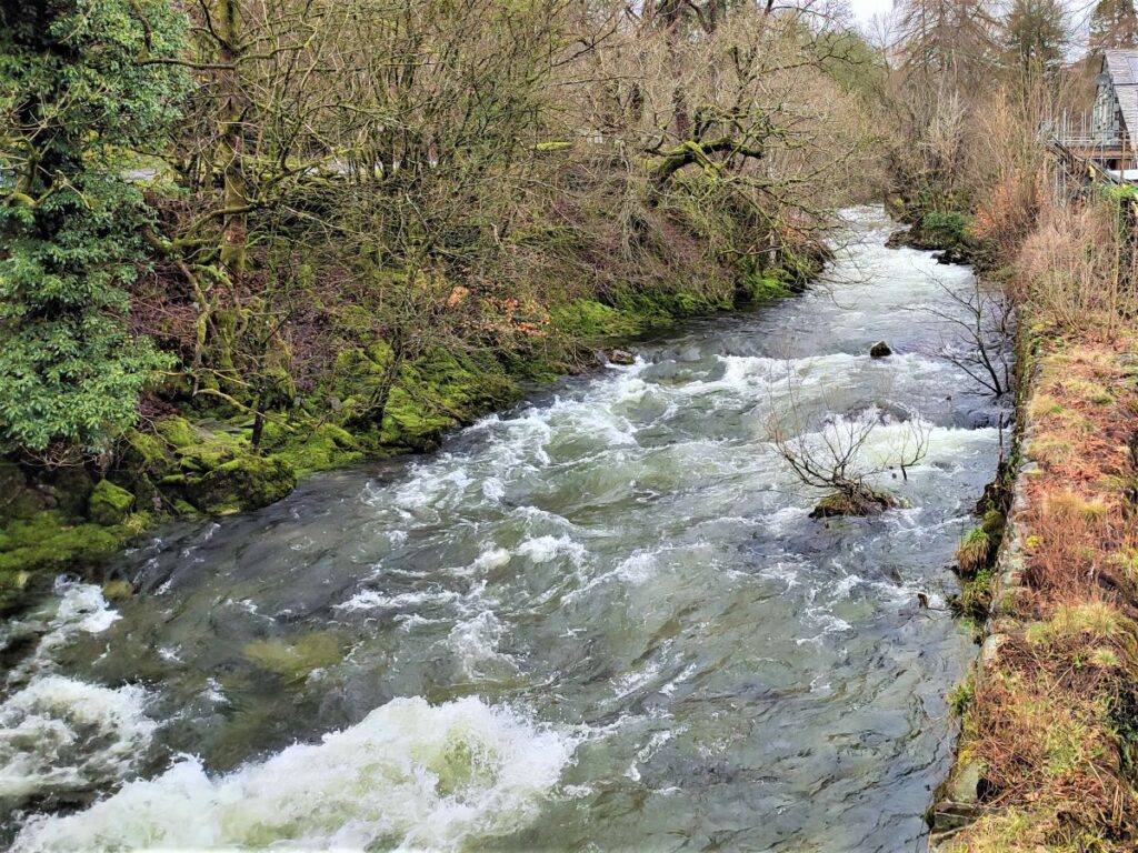
We start the walk by heading out of the car park and turning left over Elterwater Bridge – this crosses the Great Langdale Beck and takes us South, out of the village on a minor road. We note the Eltermere hotel on our right – presumably indicating that the lake has been known as both Elterwater and Eltermere in recent times. In either case, the “Elter” part of the name indicates swans, coming from Old Norse ‘elptr’/’alpt’ ‘swan’. So Elterwater means swan lake, and is still an important habitat for Whooper Swans in the winter.
Just beyond the hotel, we see a fork in the road, and we take the smaller option on the right, taking us uphill along a road signposted as a cycle route to Coniston, but bearing the warning that this is the “challenging” option. Anyone who has cycled in the Lakes District knows that there are no easy options.
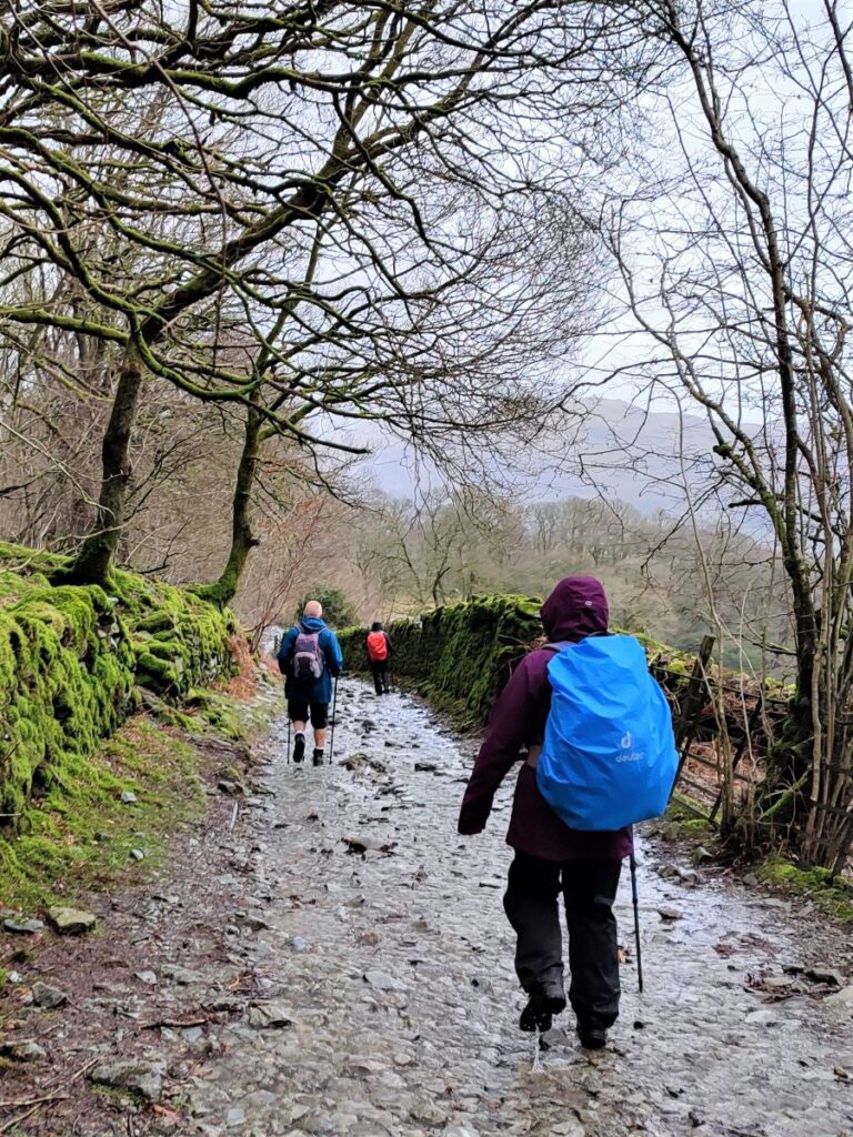
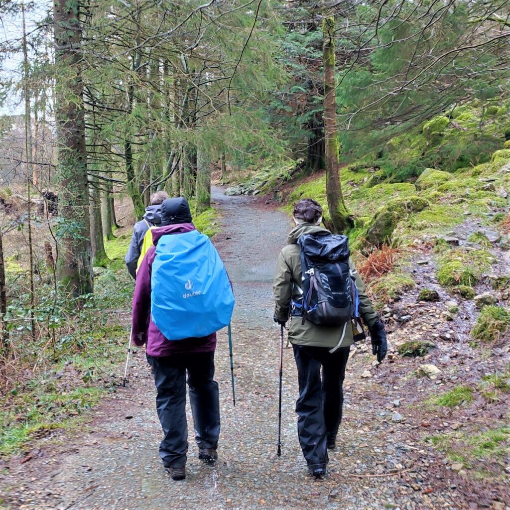
We follow the road round, and as the surface starts to deteriorate, it forks again, and as before we take the right hand option, so that we enter woodland along a small but well surfaced road.


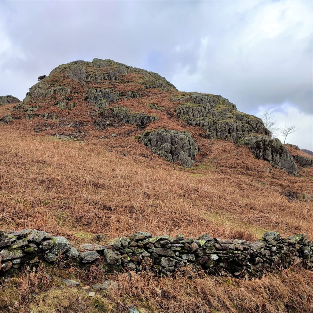
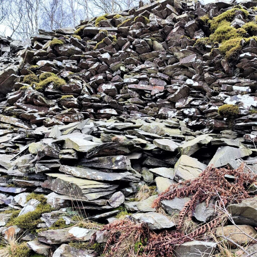
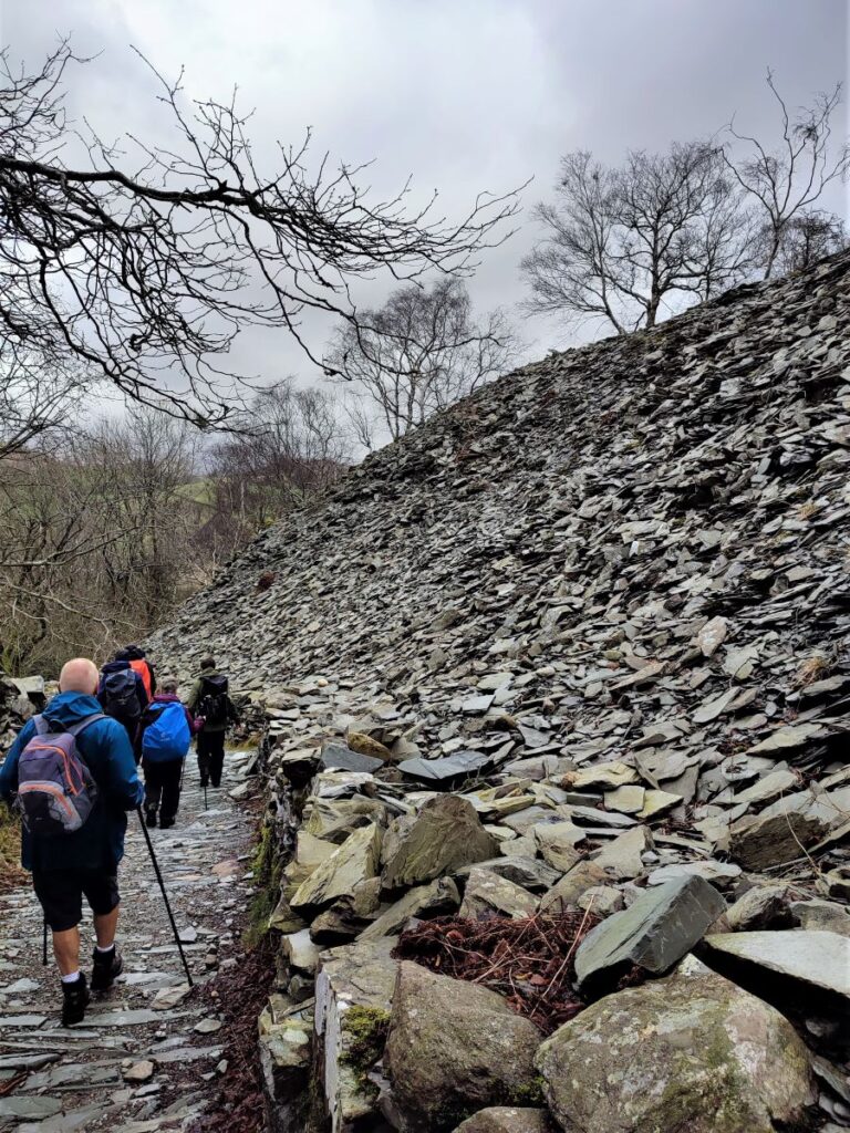
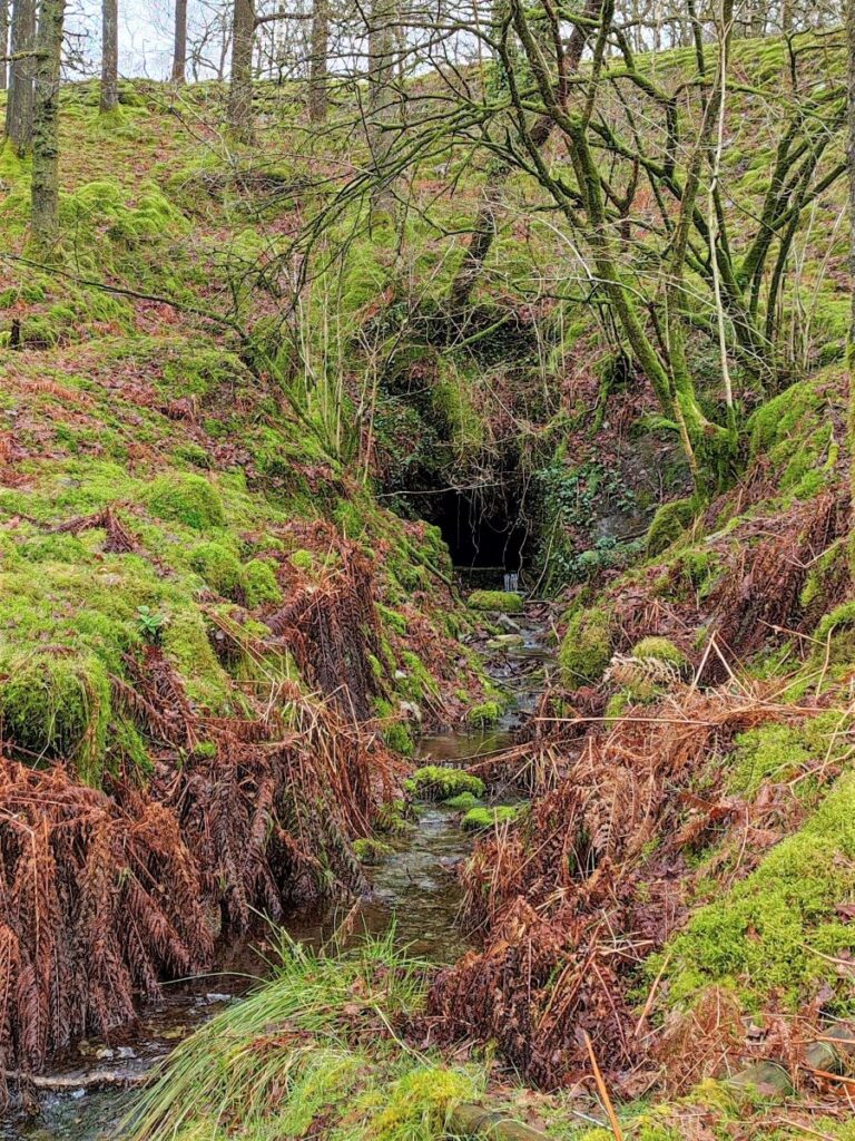
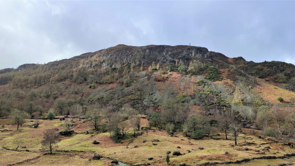
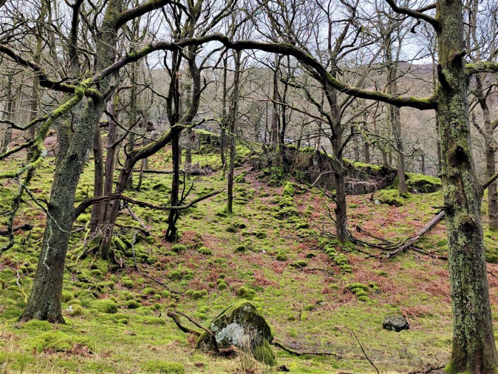
The woodland (mostly to our right) is Sawrey’s wood, and much of what we see at these lower levels is re-growth based on the spoil heaps of long abandoned slate quarries – this explains the strange, but rather attractive landscape with slate outcrops mingled with mossy hillocks, and the occasional tunnel.
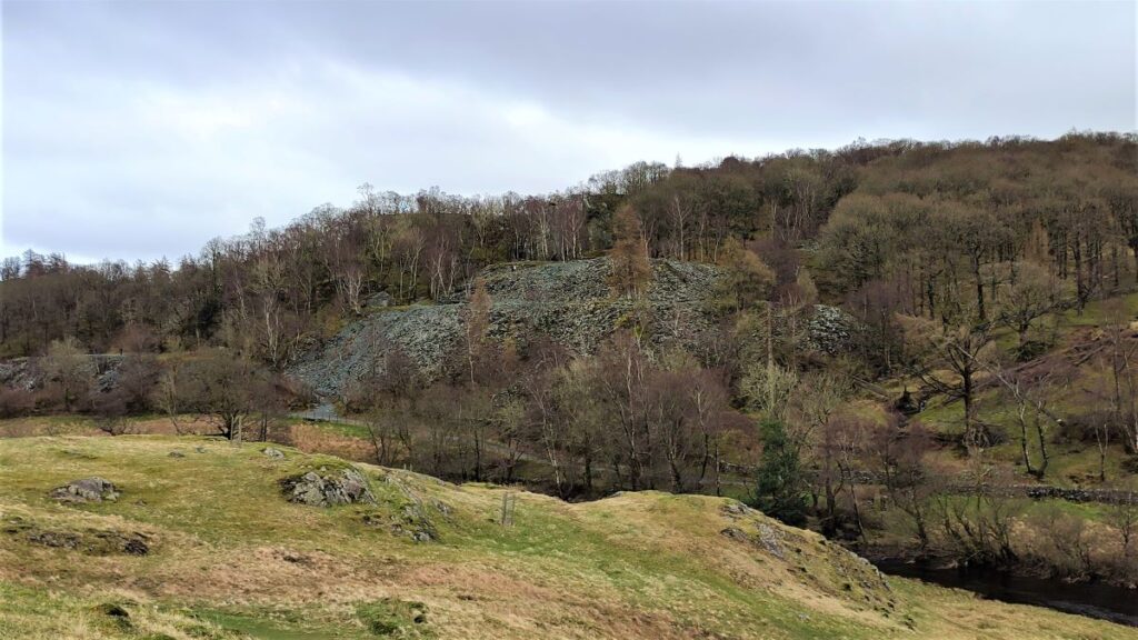
Over to the right, we get glimpses of the modern quarry that is still very much operational. From the woodland path the scale of the works is not particularly clear, but a quick glance at the video fly-through presented later gives a better context.
The quarry is owned by Burlington Stone, and there are plans to develop the site to include a visitor centre. Click here to find out more about the history of the quarry and the proposals for its future.
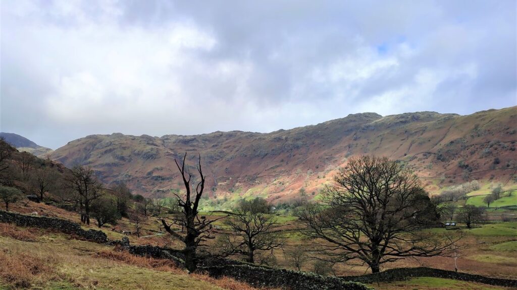
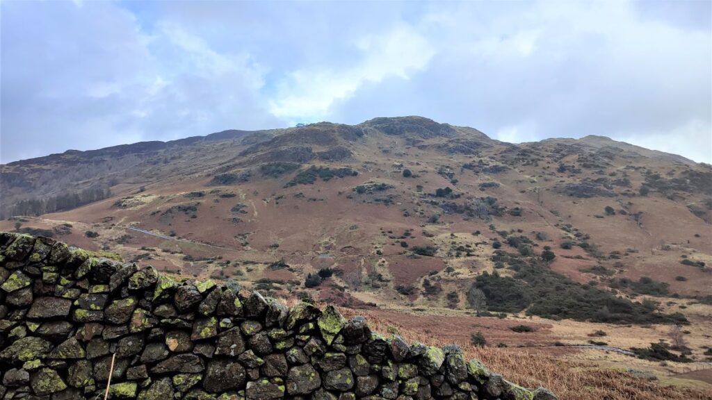
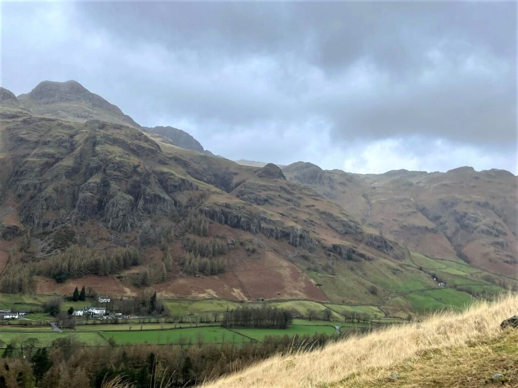
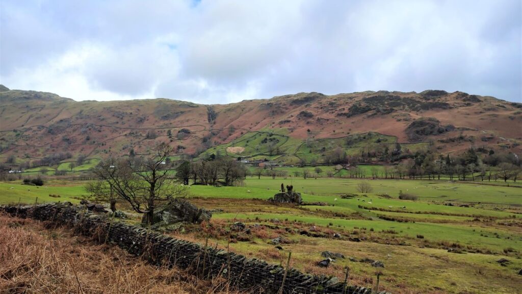
As we progress through the woods, a path crosses our track – ignore this and carry on, following the way marker for Great Langdale. The views soon start to open out, and we leave the trees behind, giving up a great view over the almost flat base of the valley across to Chapel Stile, with Thrang Crag looming over it.
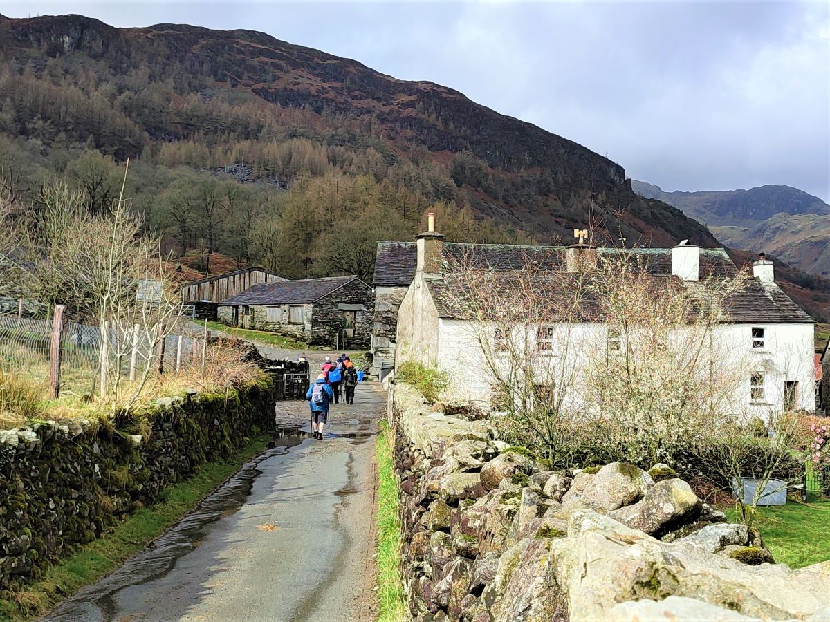
The lane soon arrives at a whitewashed farm building, and we follow the well signposted path to the left of the house and through a gate back toward the woodland.
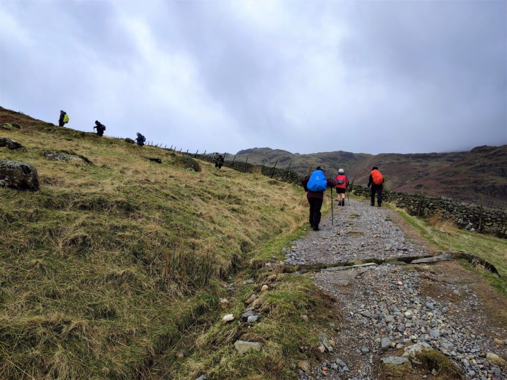
We ignore a track leaving downhill on the right and carry on heading slightly uphill toward a fork in the track where we take the right hand option – in effect our direction of travel is unchanged at Northwest. If in doubt, follow the sign for Great Langdale (1 ¾).
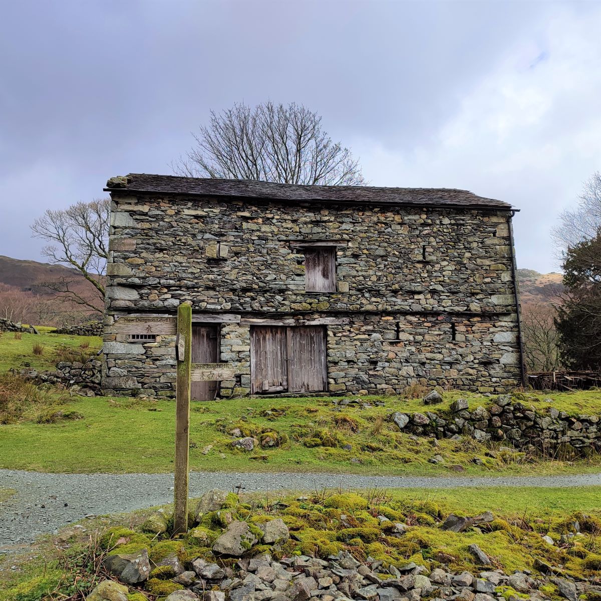
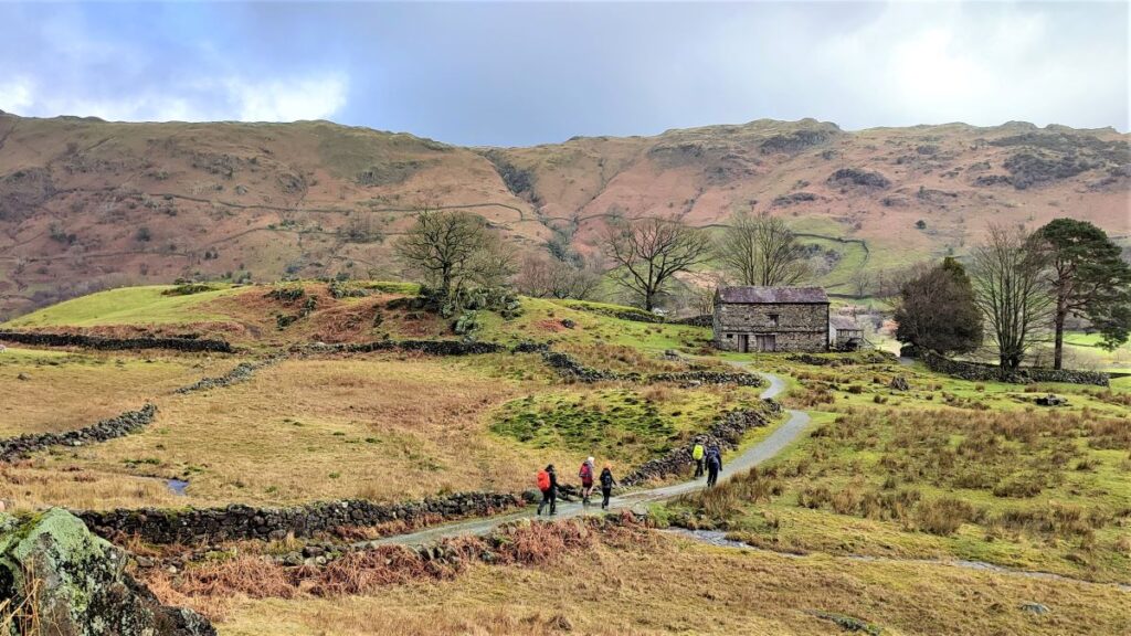
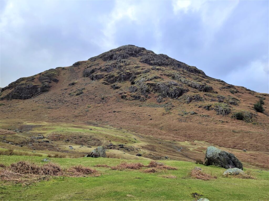
We follow the contour lines for a little while now, and the surface of the path is generally good, so we make easy progress. The path leaves the woods again and we find ourselves walking below the bulk of Oakhowe Crag (on our left) as the track curves round to the right and approaches Oak Howe, where a number of routes present themselves.
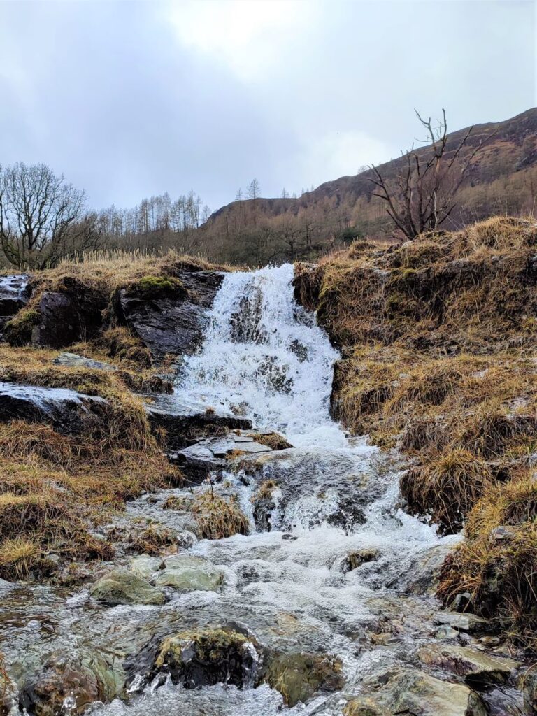
If you were to turn right at the stone barn at Oak Howe, you will find a path signed Great Langdale which takes walkers along the base of the Great Langdale valley, either to the right and then over the river to head Northwest to Dungeon Ghyll, or to the right and back along the river to Elterwater via Chapel Stile.
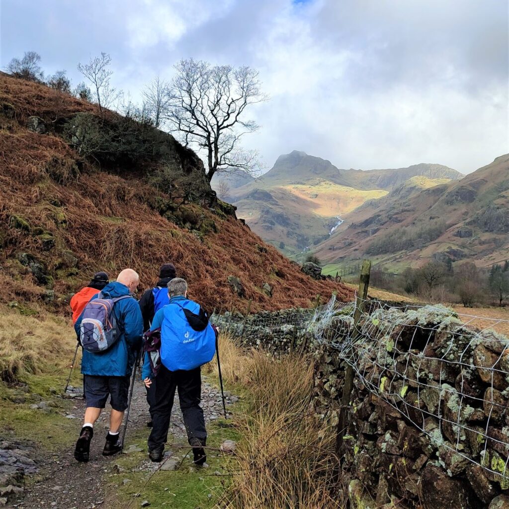
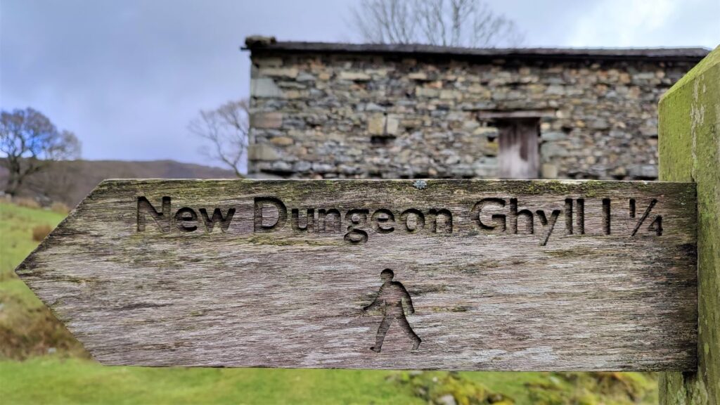
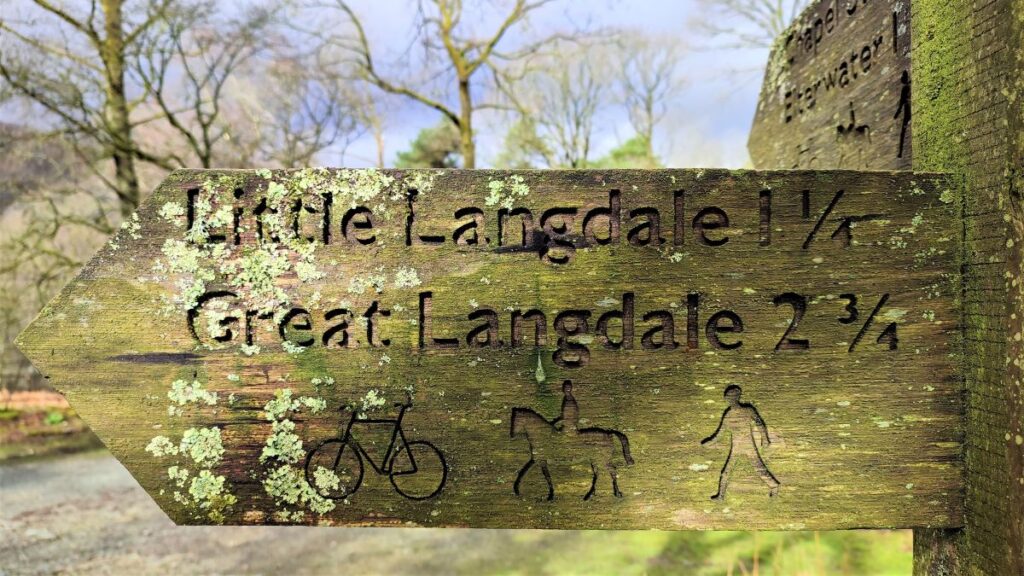
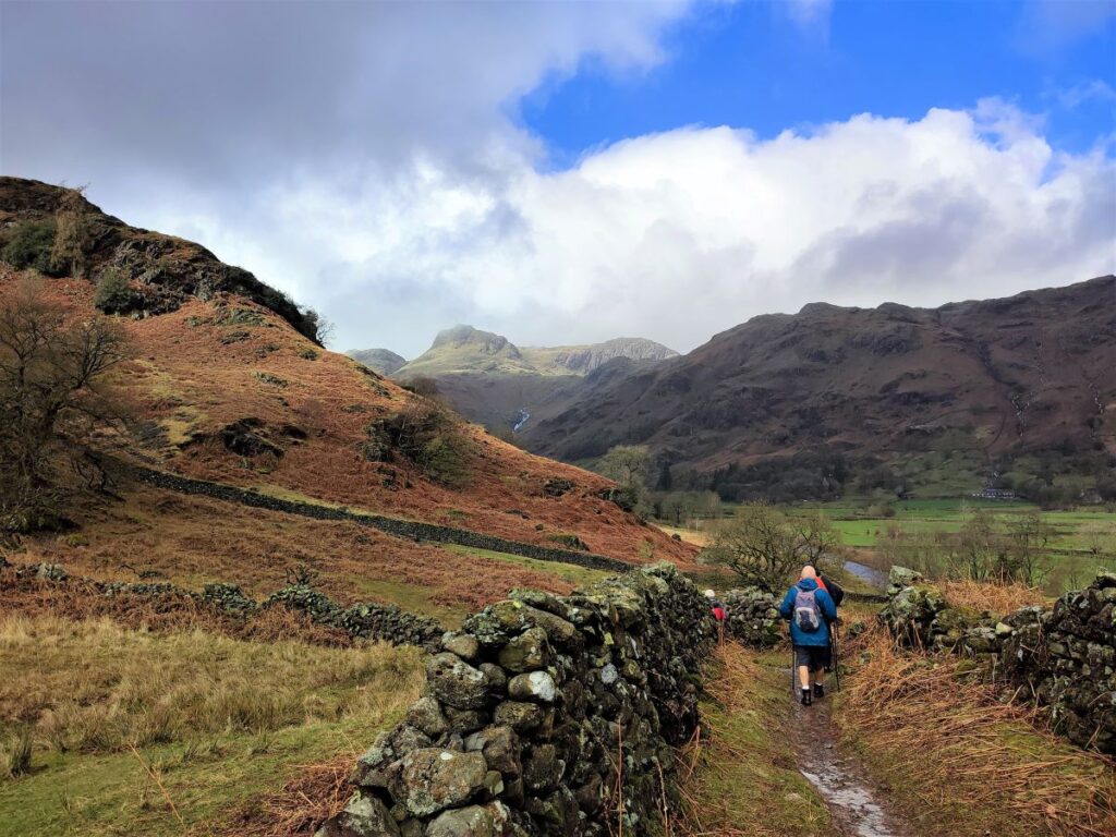
These options are too easy for us, so we head left along the Cumbria Way, signposted for New Dungeon Ghyll (1 ¼) as it curves around the contours of Oak Howe Needle.
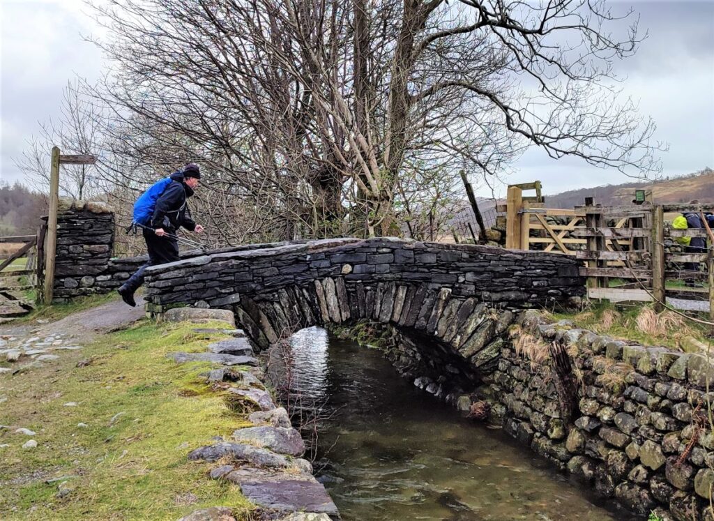
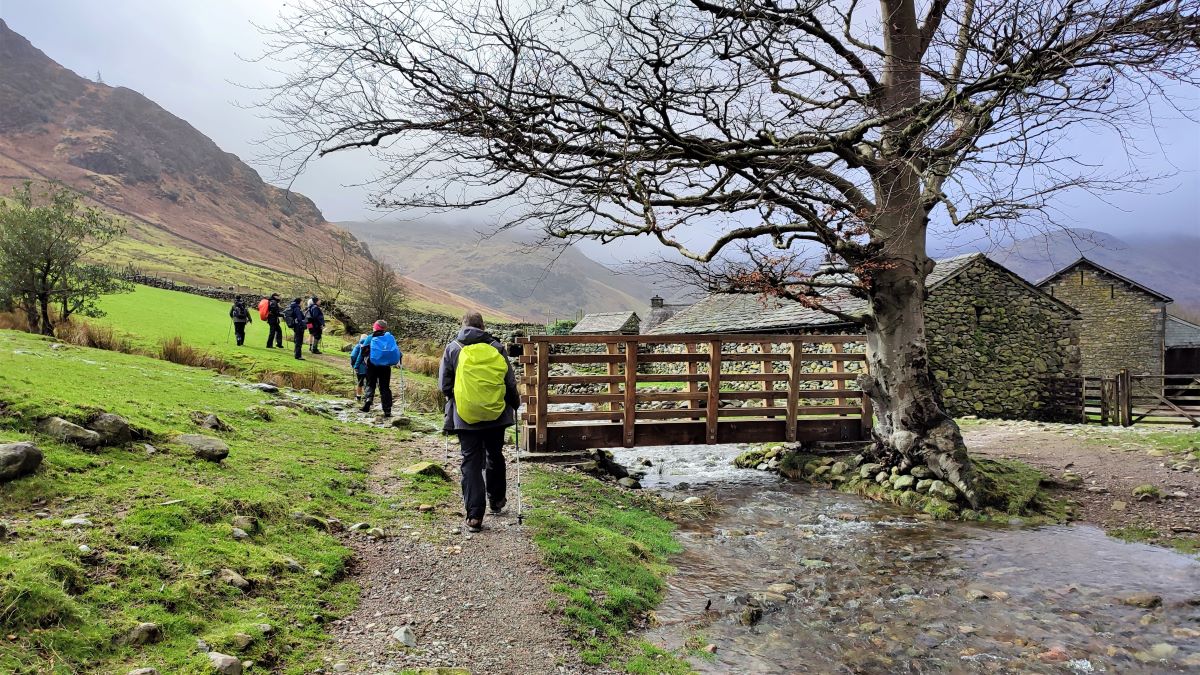
Our next landmark is Side House where the Cumbria Way heads over to Rosset at the base of Dungeon Ghyll. We leave the Cumbria way at this point; it bears right, over a new wooden footbridge as we head slightly to the left to find a ladder stile in the drystone wall above the farm.
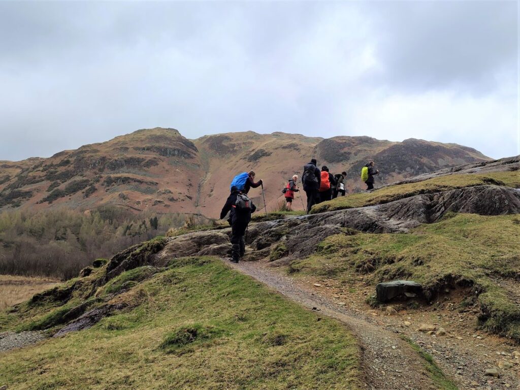
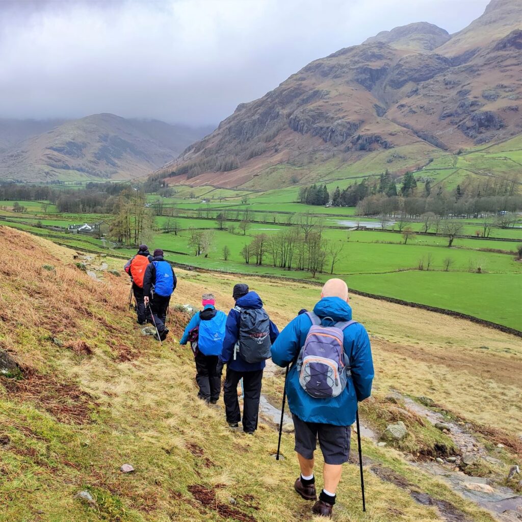
We continue to follow contours, so although the walk presents great views of impressively steep terrain, our walking remains easy as we find ourselves circling round to the left as the path circles Side Pike.
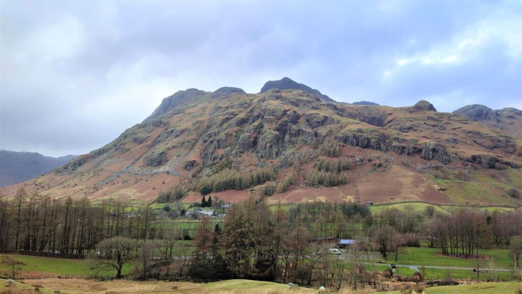
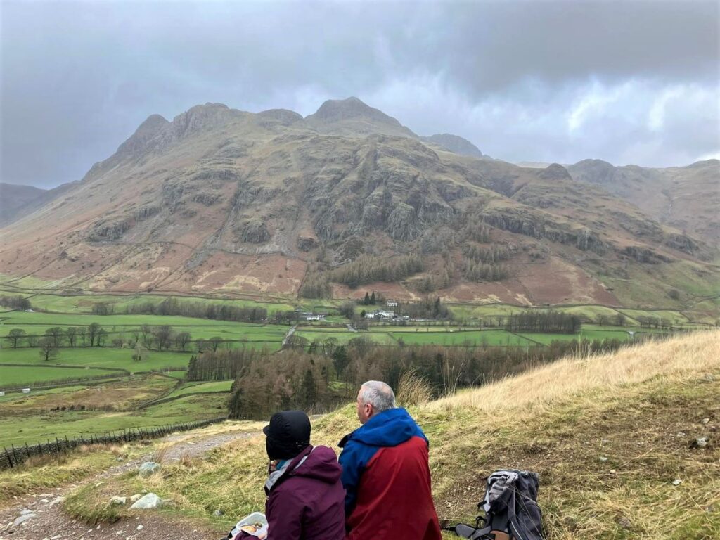
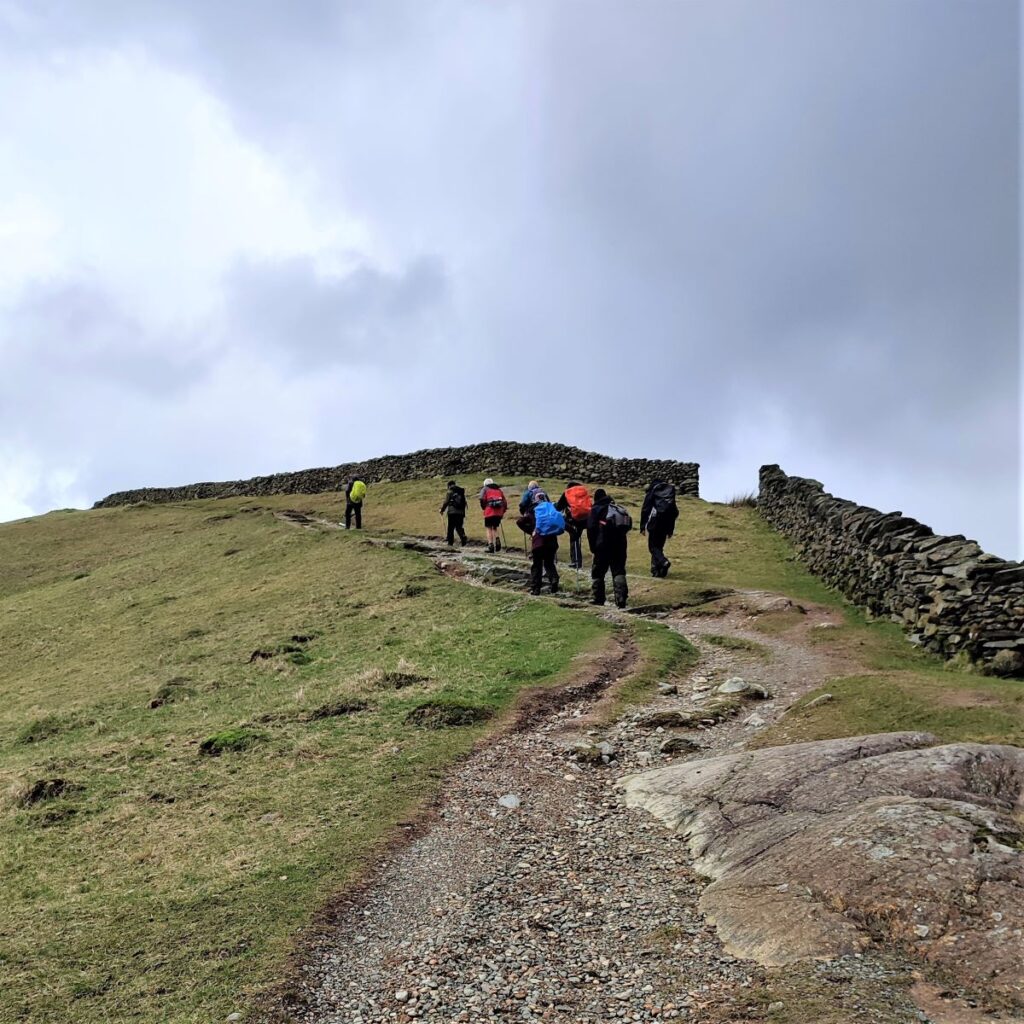
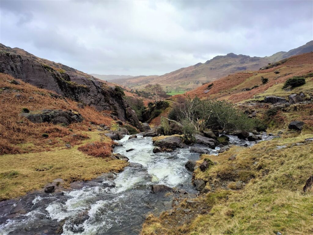
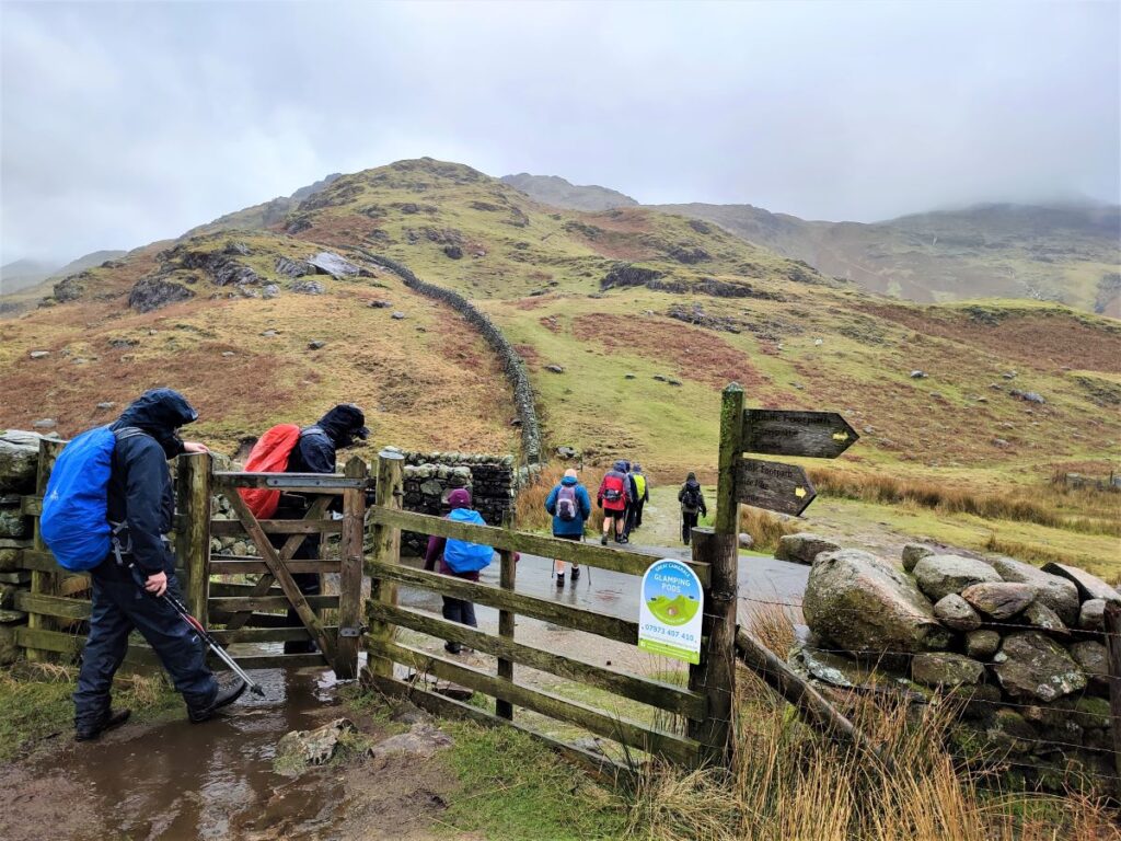
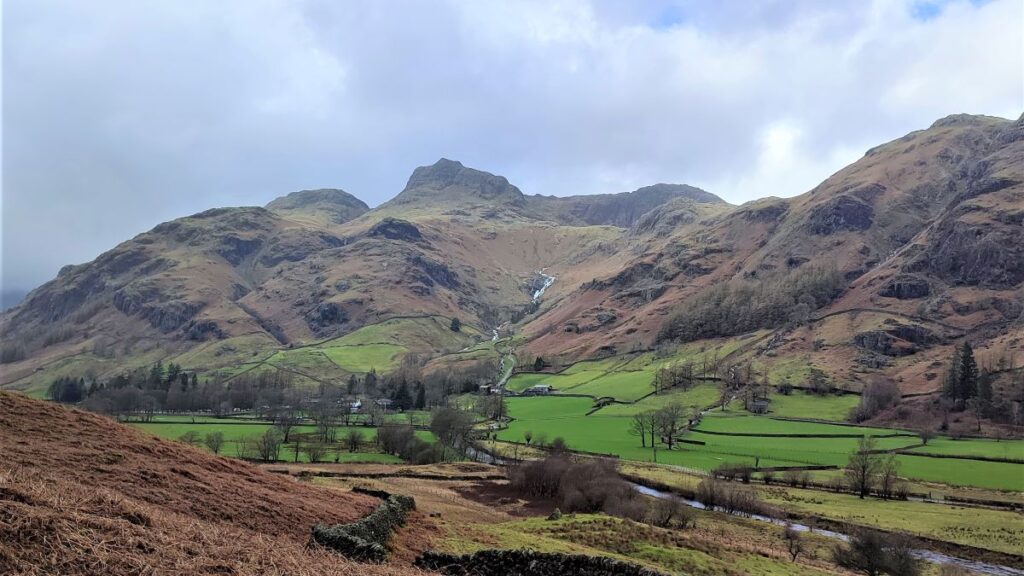
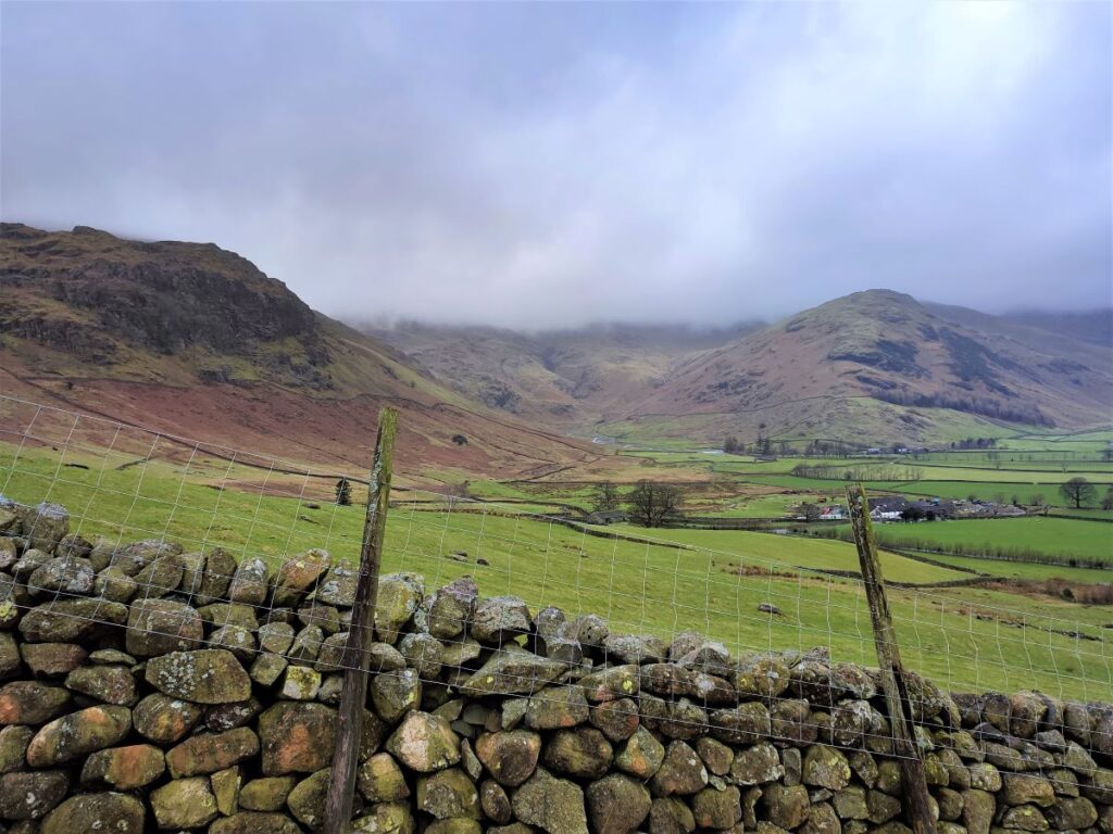
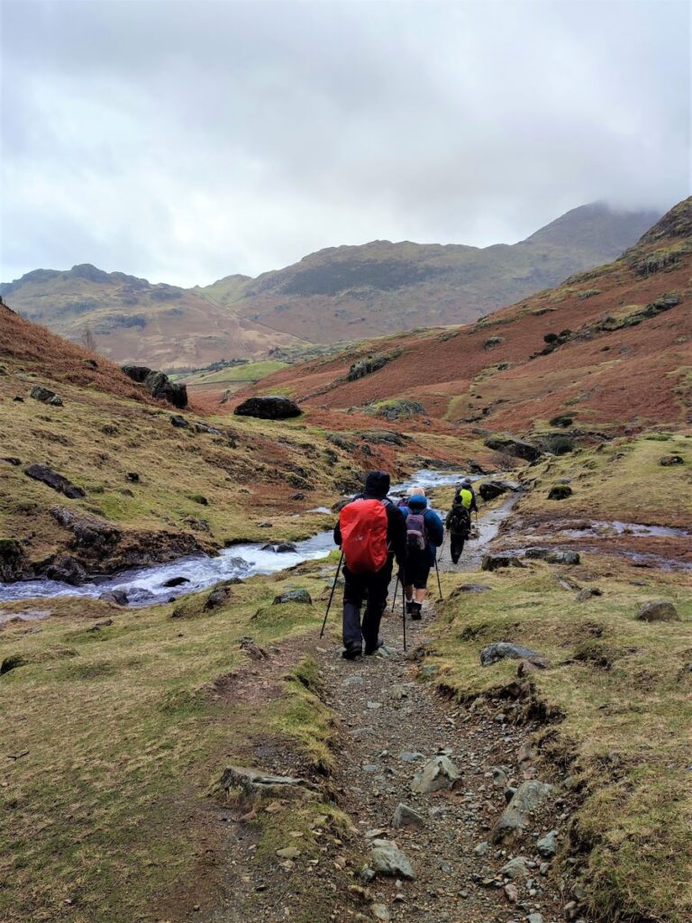
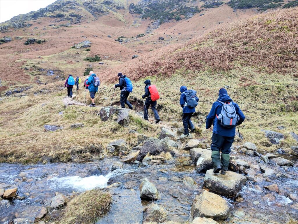
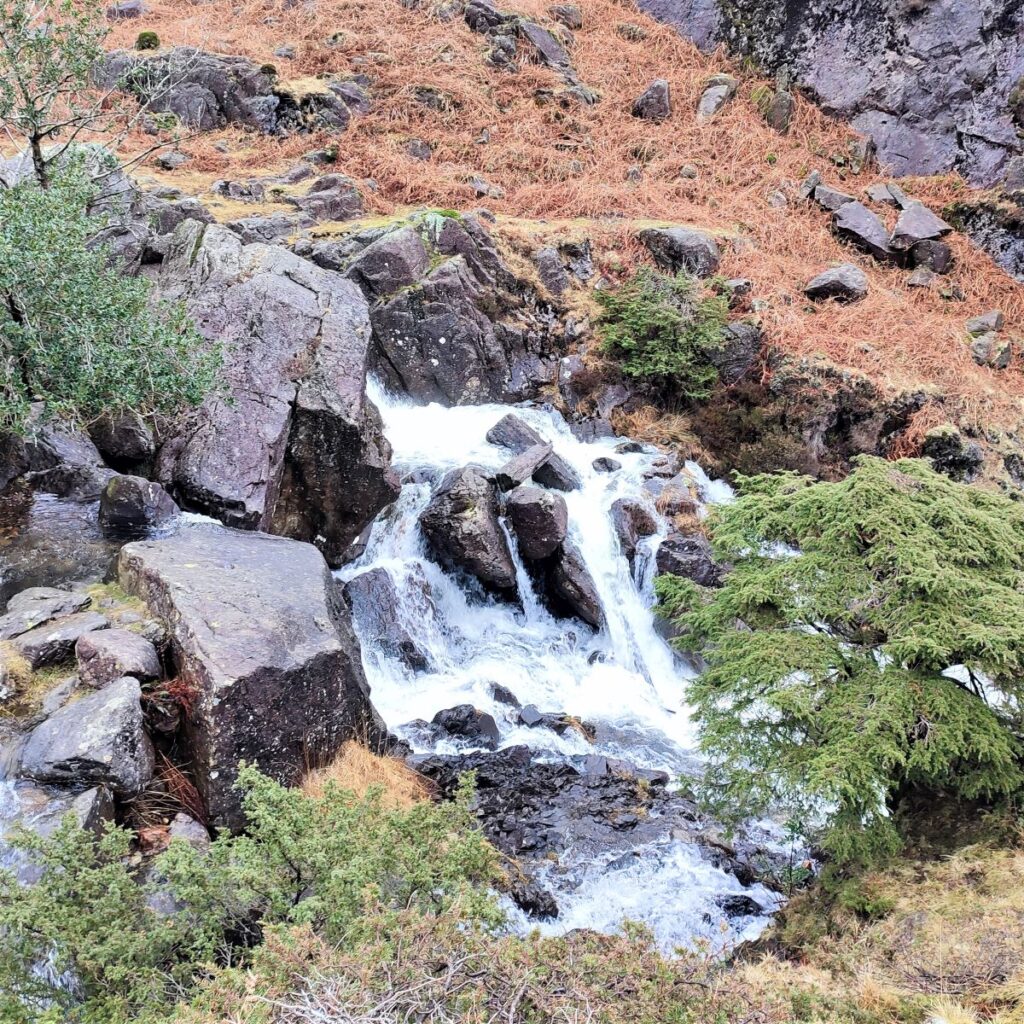
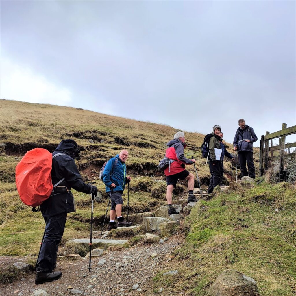
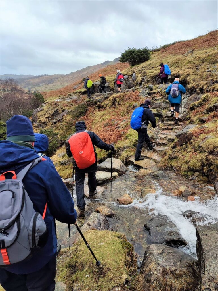
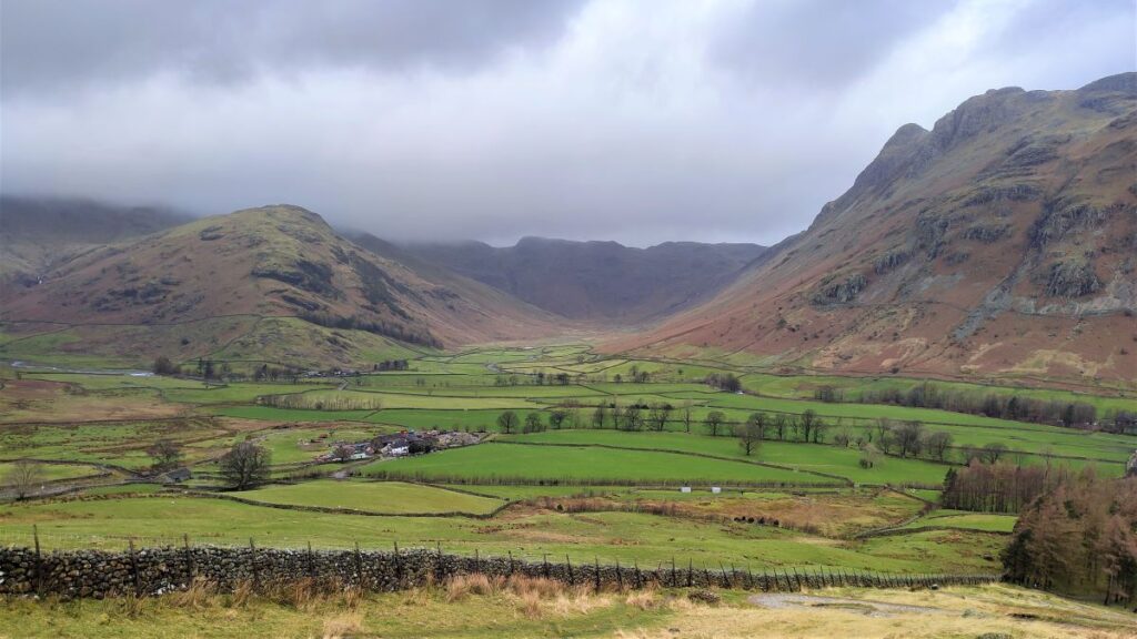
At this point, we run out of easy walking and need to head steeply uphill – the climb is tough, but not too long, and there are great views to be had here: across the valley to the Langdale Pikes, and up Oxendale. We opted to take a break here and savour these as we caught our breath.
Pressing on, the path rises steeply and meets a minor road which we cross to continue on the far side.
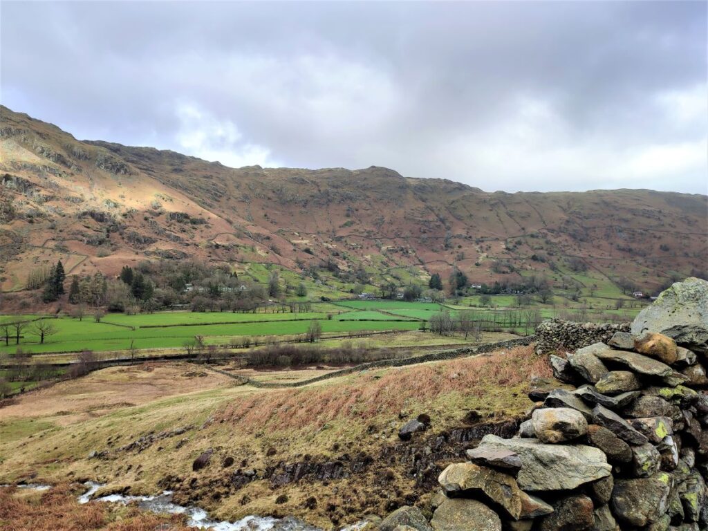
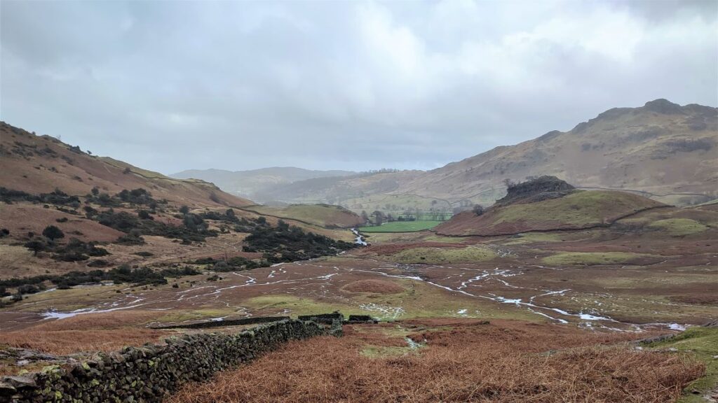
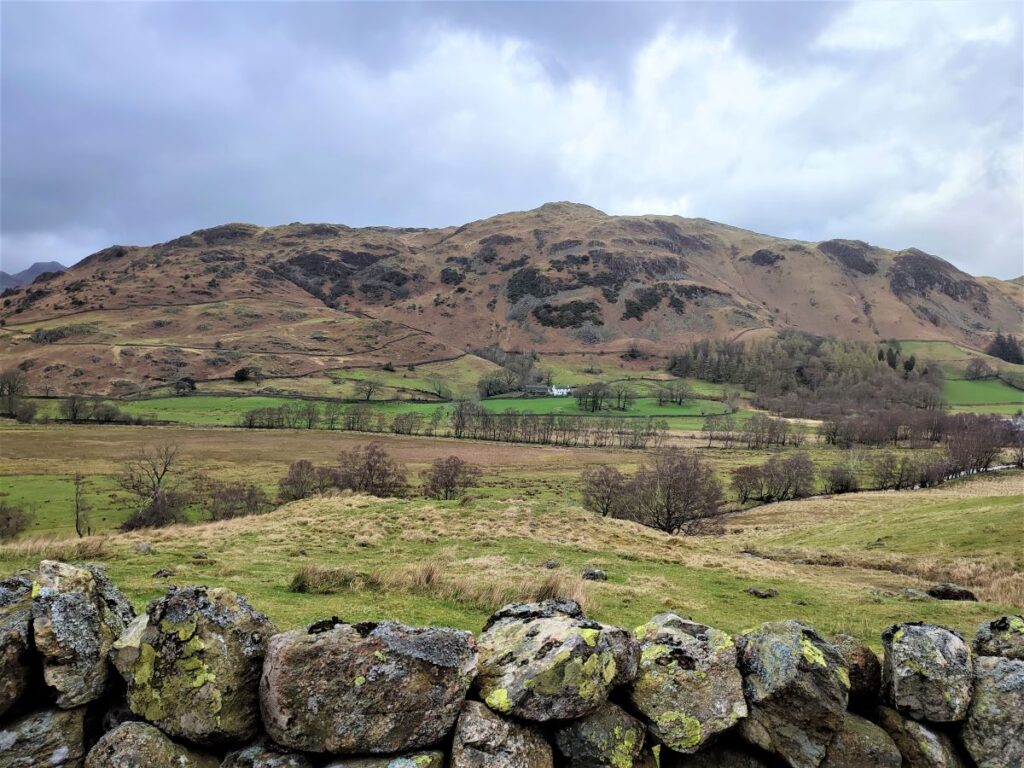
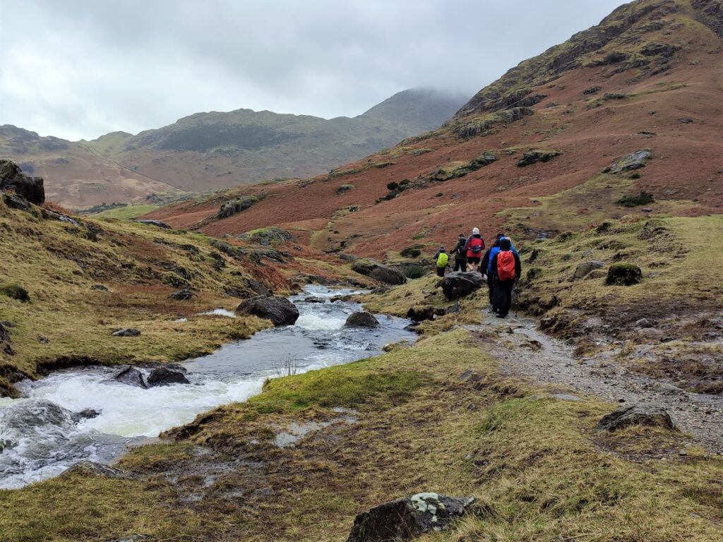
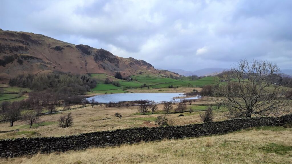
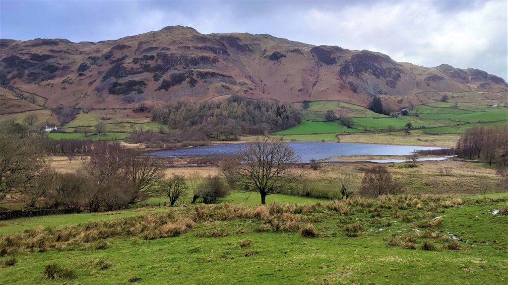
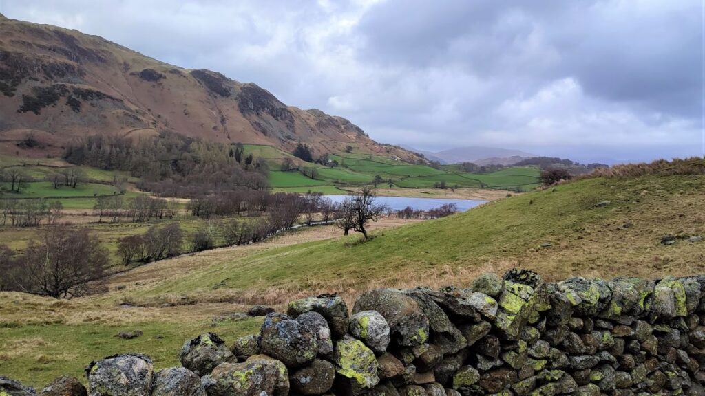
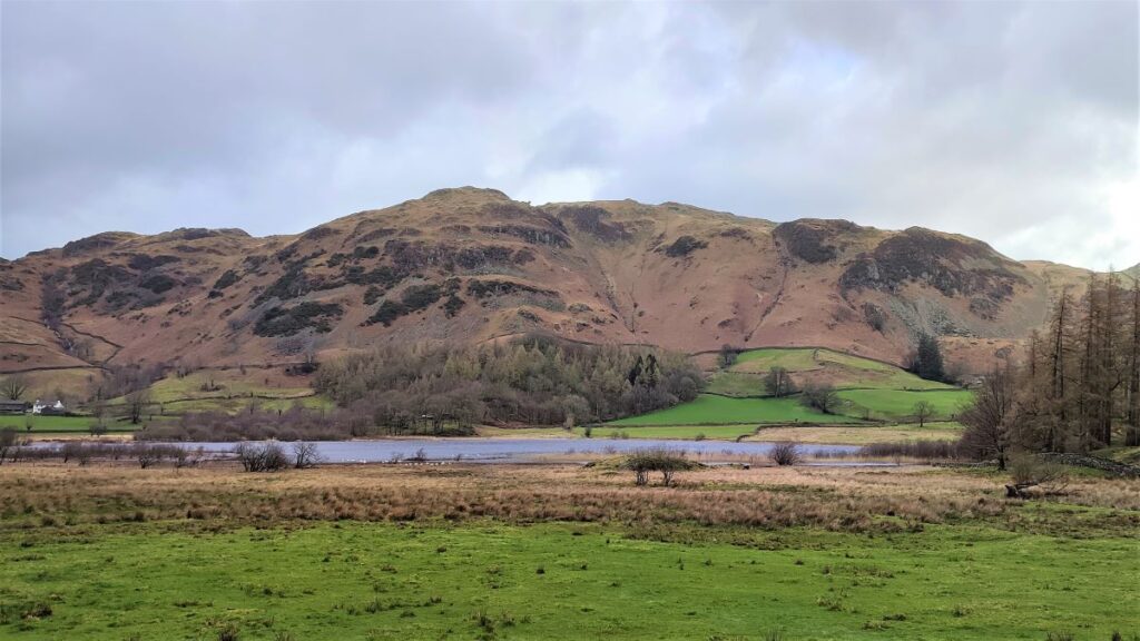
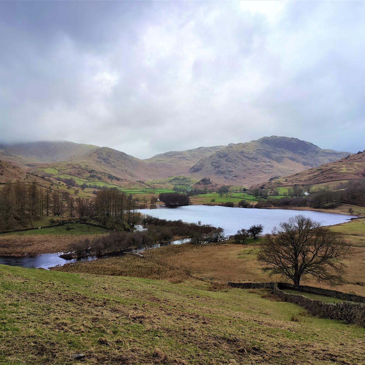
We are now heading South and have Blea Tarn visible in the distance on our left, whilst Rakerigg and the rest of Wrynose Fell stand to our right. The path is well used, and so should be clear, but if in doubt we are heading toward the woodland that sits just to the right of the Tarn.
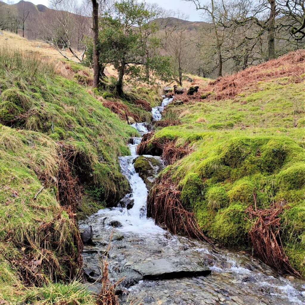
As we exit the trees, the path picks up a river that drains the southern end of the Tarn. This is Blea Moss Beck – and as the name suggests, this area can be boggy when wet.
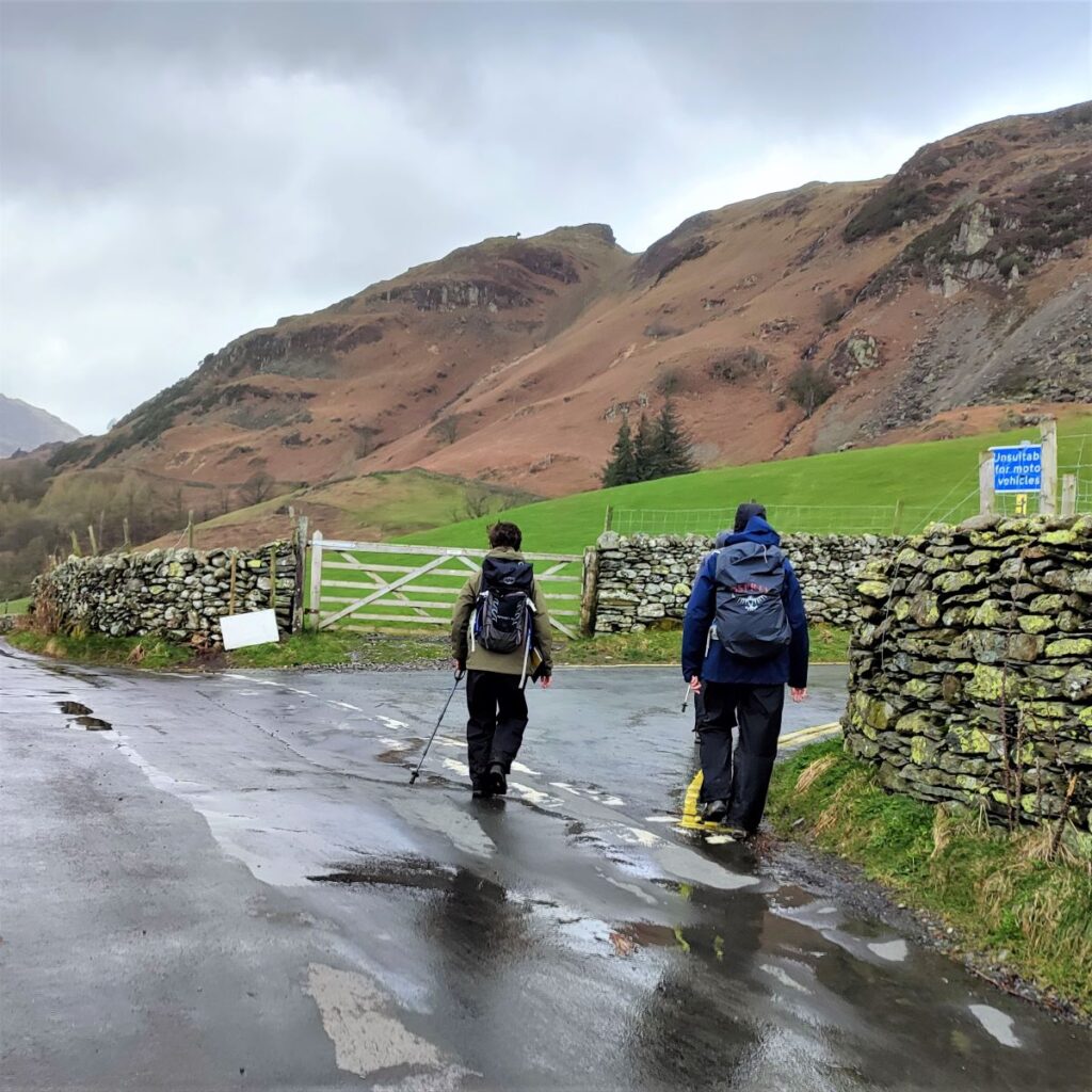
After a while, the path leaves the beck side and heads South toward a minor road – this is the Wrynose Pass, one of the steepest roads in England, with gradients up to 1 in 3. The road continues over Hardknott Pass and on into Eskdale – parts of Wrynose pass are known to follow the routes of earlier Roman Roads.


At the top end of the pass is the Three Shire Stone, marking the meeting point of the historic counties of Cumberland, Lancashire and Westmorland. The unusual name Wrynose is thought to mean “stallion’s ridge”, being formed on the Old Norse word (v)reini meaning “stallion” suggesting power needed to climb it.
At the road we turn left and head steeply downhill, toward the striking Castle Howe – which sits just to the left of the road. The origin of this promontory is volcanic, but iron age people used it as a natural defensive structure, as did post roman Britons, and for this reason the site is a scheduled monument.
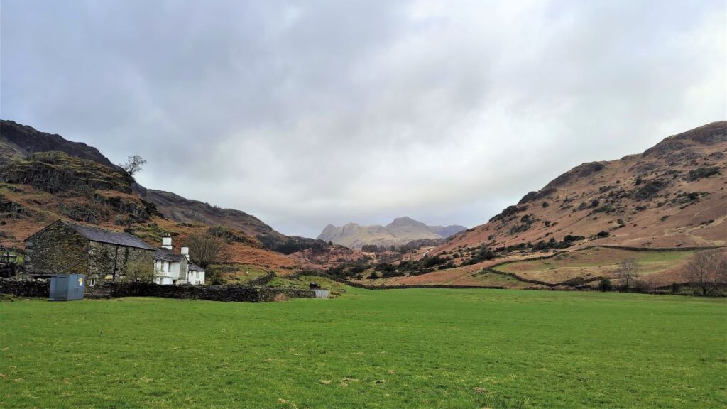
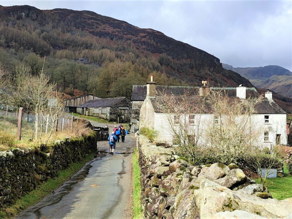
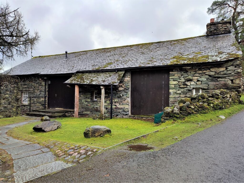
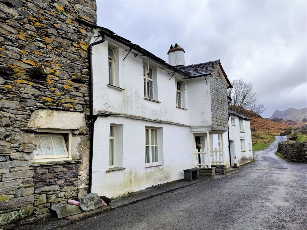
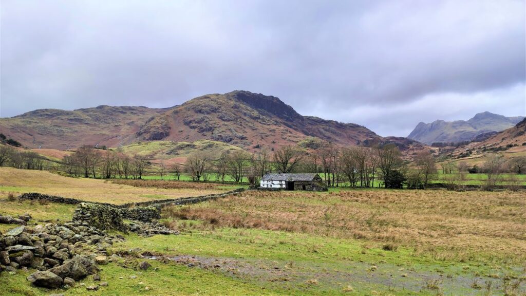
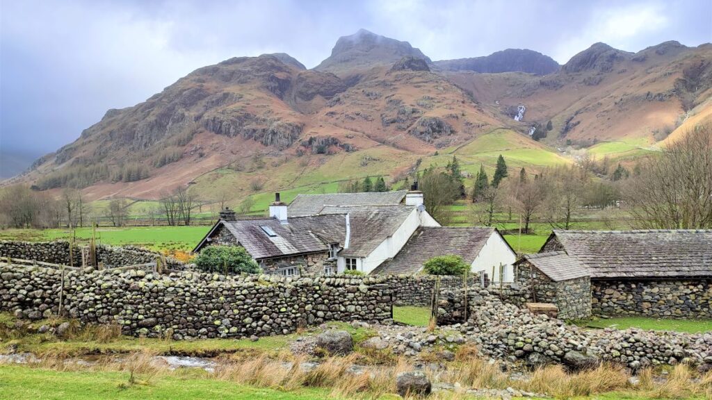
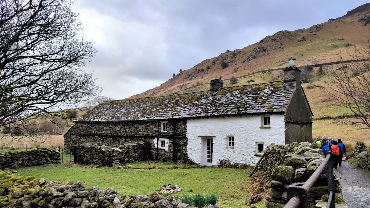
Slightly beyond Castle Howe, the road takes a sharp right hand turn and passes Fell Foot where we note a white-washed farmhouse featuring a porch dated to 1707. The cluster of farm buildings here are all managed by The National Trust, and are considered of national importance and are Grade II listed. The National Trust website has some interesting background on the buildings, click here to see them
Just behind the farm and not particularly visible unless you peer between the buildings is an even more significant relic: Ting Mound or Thing Moot. This Ancient Monument is a natural mound which has been deliberately terraced, possibly in the tenth century, although it has not been dated archaeologically. It is believed that the mound was used as an open-air meeting place for local government, specifically for a Thing (from the Old Norse þing), a type of early assembly found throughout Northern Europe where there was Scandinavian influence.
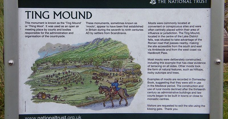
The mound is very similar to the Tynwald Mount on the Isle of Man, and this supports the idea that it was established by Viking settlers, who have left a legacy of Norse toponyms in the Langdales, and possibly built some of the dry-stone walls which are such a feature of the landscape.
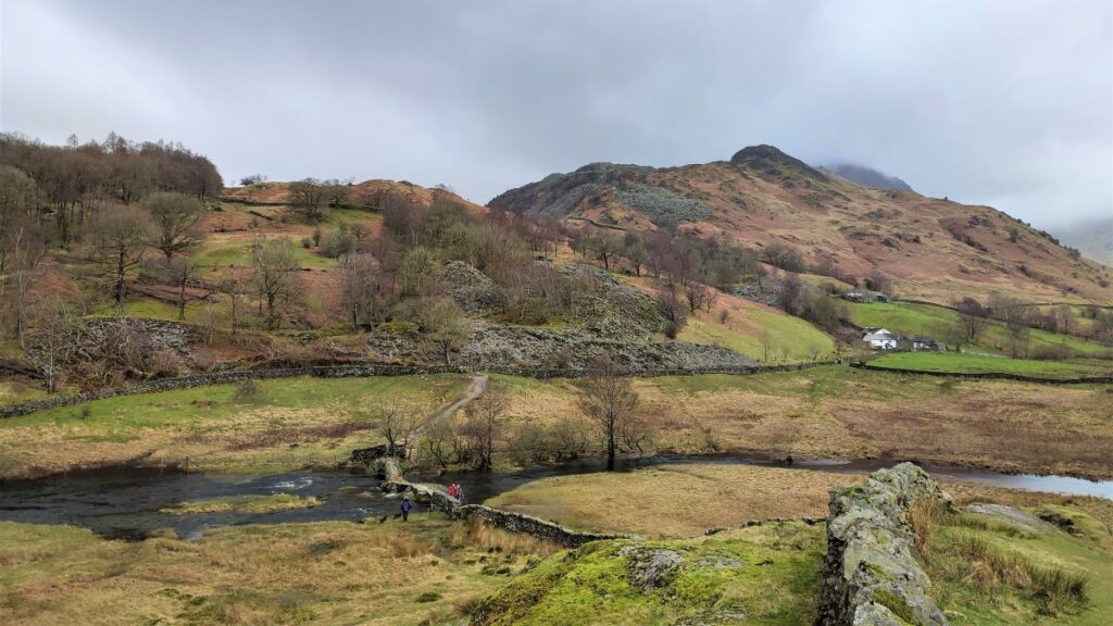
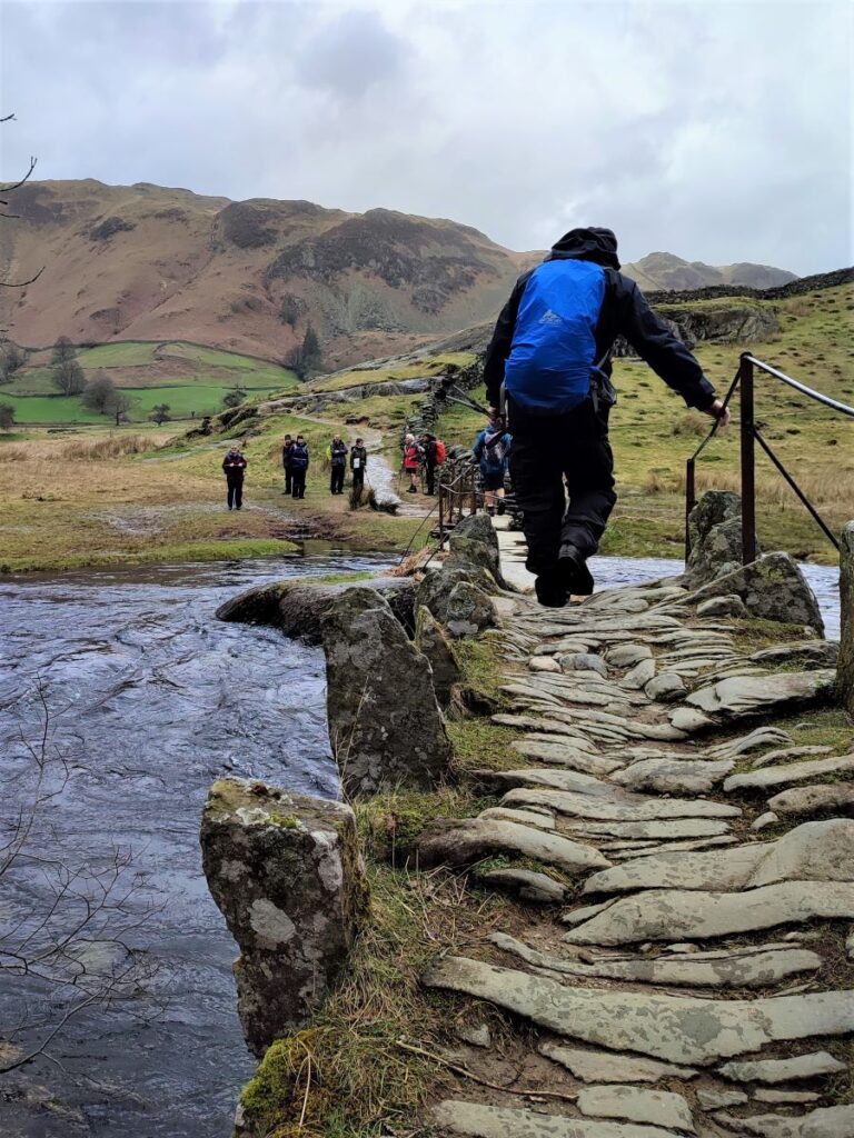
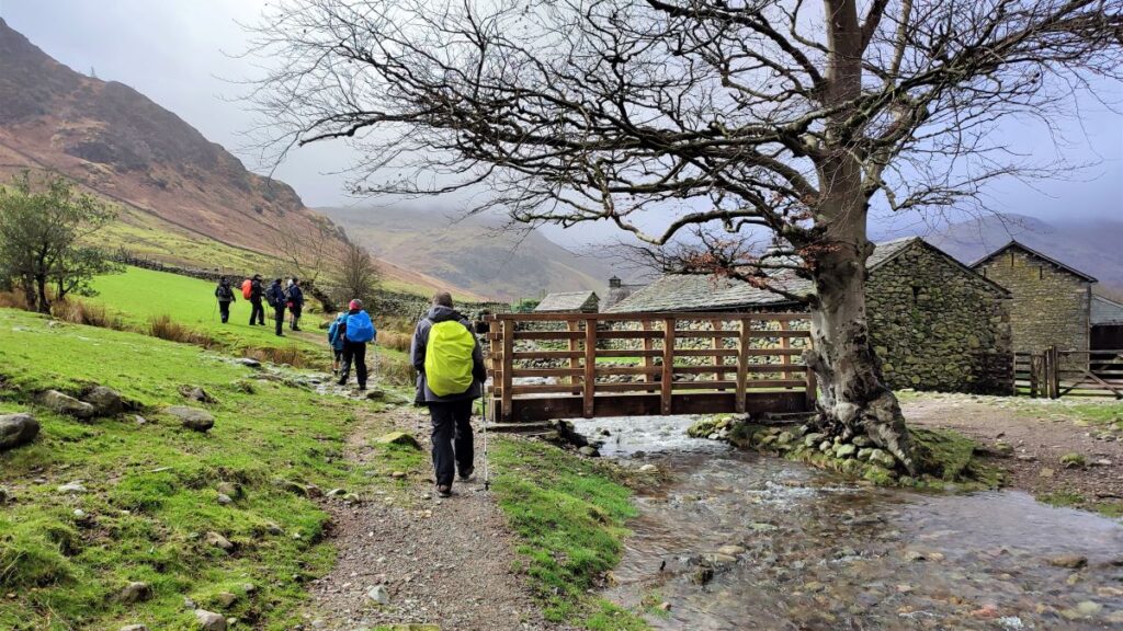
We follow the road for a short while now – it bends sharply to the left and then we see a footbridge (Fell Foot bridge) on the right just a short way ahead. This takes us on a path signposted for Tilberthwaite (2 ½) over the upper reaches of the river Brathay, and down a flat lane to a farmhouse at Bridge End. We walk behind the farmhouse and then to the left, and follow the lane for a while, with views over to Little Langdale Tarn presenting on our left.
We reach a way marker showing us a number of route choices – the path to Tilberthwaite leaves on the right and heads uphill. That’s not our route for today, but it’s worth remembering and revisiting as a link to Cathedral Quarry Cave – a man made cave complex created as slate was mined. More detail can be found by clicking here.
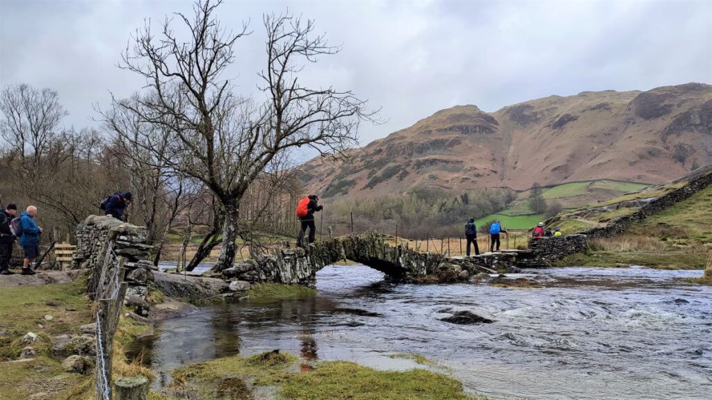
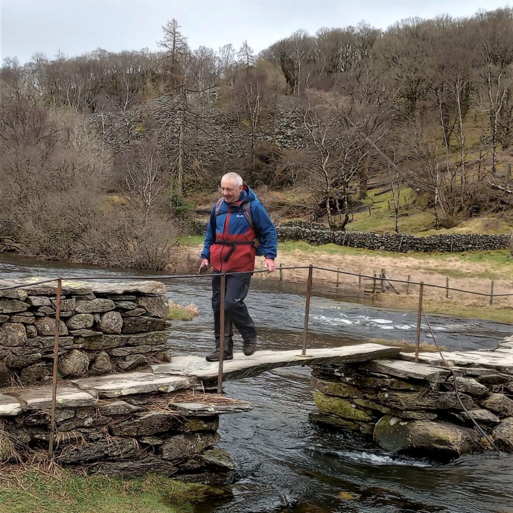
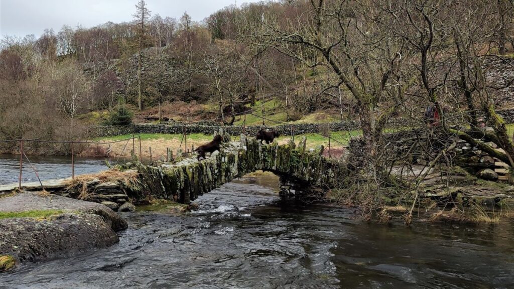
We press on using the path toward the A593. This takes us down past some National Trust Holiday accommodation, and down to Slater Bridge. The traditional packhorse bridge dates back to the 17th century and became a listed building in 1967. It is made from slate (the clue is in the name) and consists of a 15-foot (4.6 m) segmented arch covered by a flatter span of rough slabs. It appears to incorporate a natural boulder in midstream. The bridge is thought to have been created by miners working in the nearby Tilberthwaite quarries -the miners were probably not driven by aesthetics, but there is no doubt that this bridge is beautiful, and perhaps one of the most photographed in the Lakes: Alfred Wainwright called it “the most picturesque footbridge in Lakeland”, and who are we to argue?
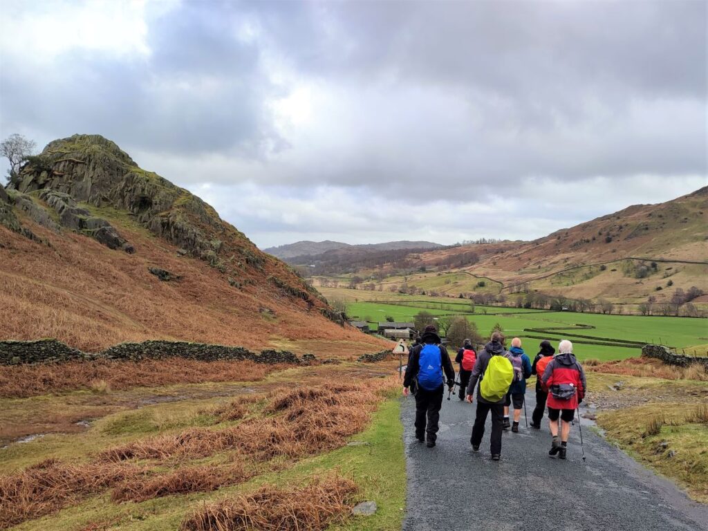
After crossing the bridge we follow the clear path, taking the left hand where it forks, and carry on up to up to the road where we turn left, and then almost immediately right.
The road here serves a couple of farms, and beyond then the surface deteriorates a little. The direction of travel is now North-easterly, and we stay on the road / track for a good while now, until we arrive back at the junction where a while ago, we noted the Cycle route to Coniston. From here, we retrace our steps back to the car park.
- Total distance 14.2 km (8.8 miles)
- Total ascent 462 m
- Moderate walk
OS Map
Downloads
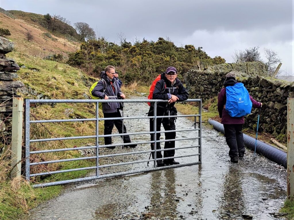
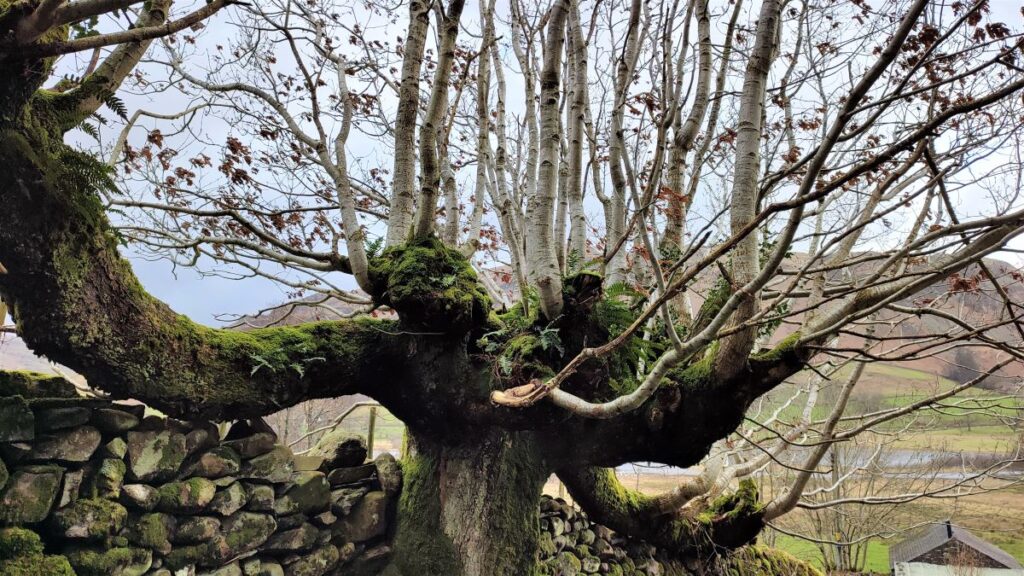
Gallery
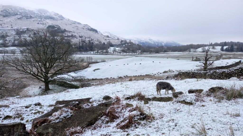
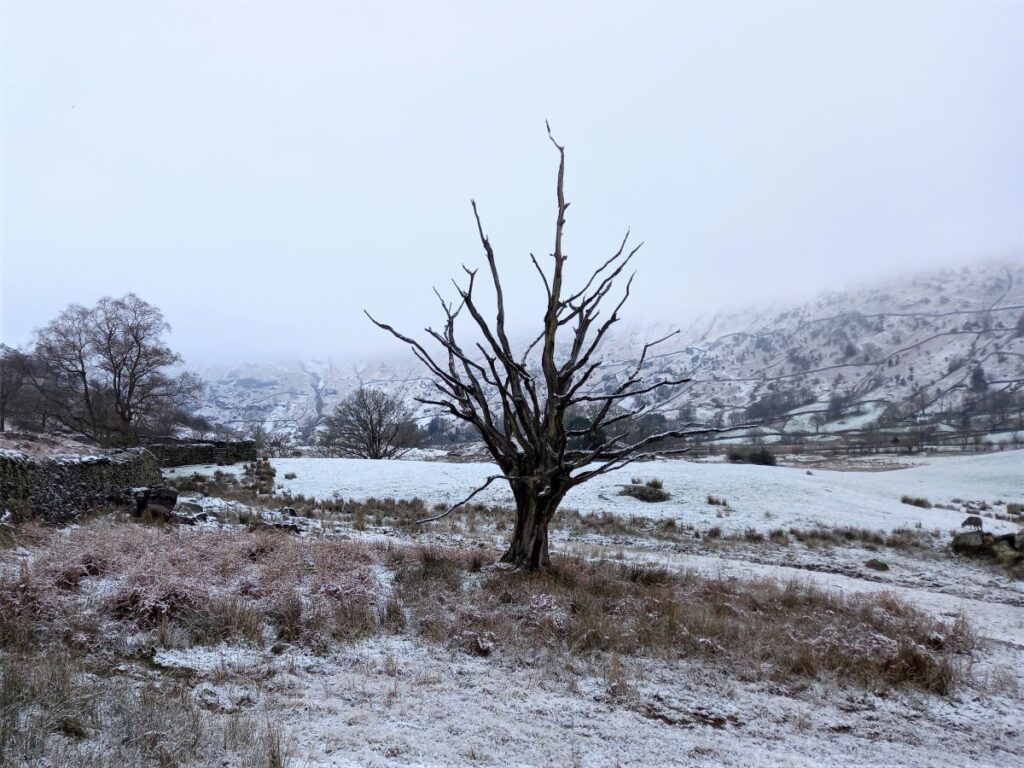
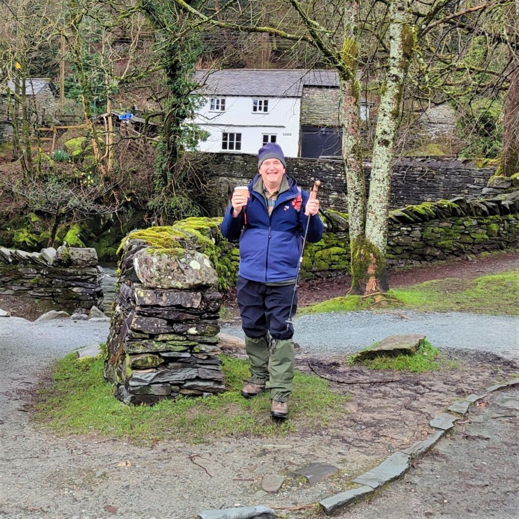
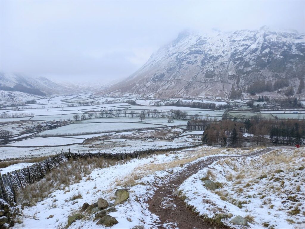
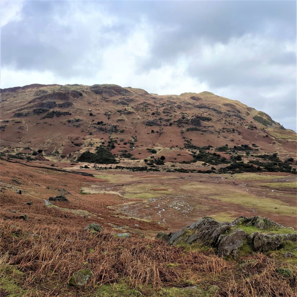
Most of these pictures were taken during the group walk – the ones with snow visible were taken on 15/03/23