Jump to . . .Step by Step | OS Map | Downloads | Gallery | Fly through
Although Bentham Footpath Group regard anywhere in the Yorkshire Dales, the South Lakes or Forest of Bowland as “home”, this walk really is local – and it reminds us just how much wonderful walking lies on our doorstep.
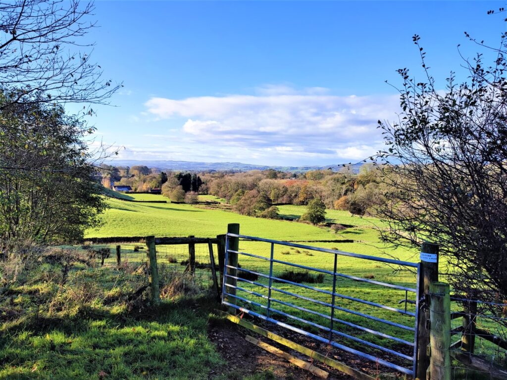
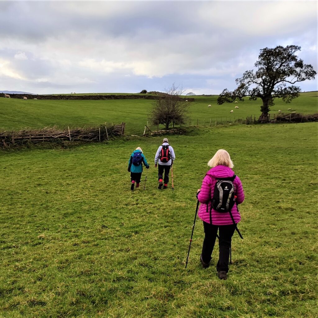
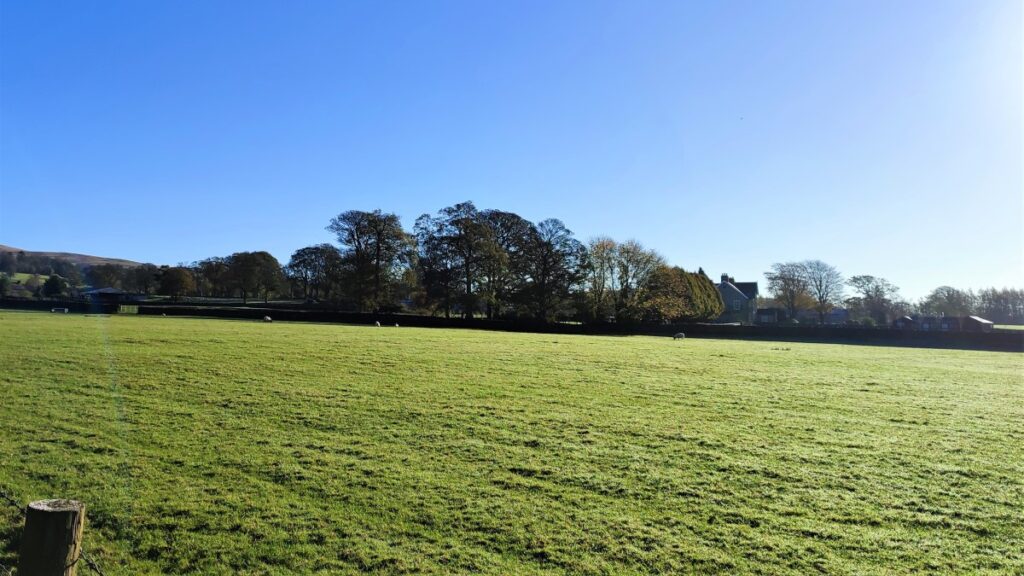
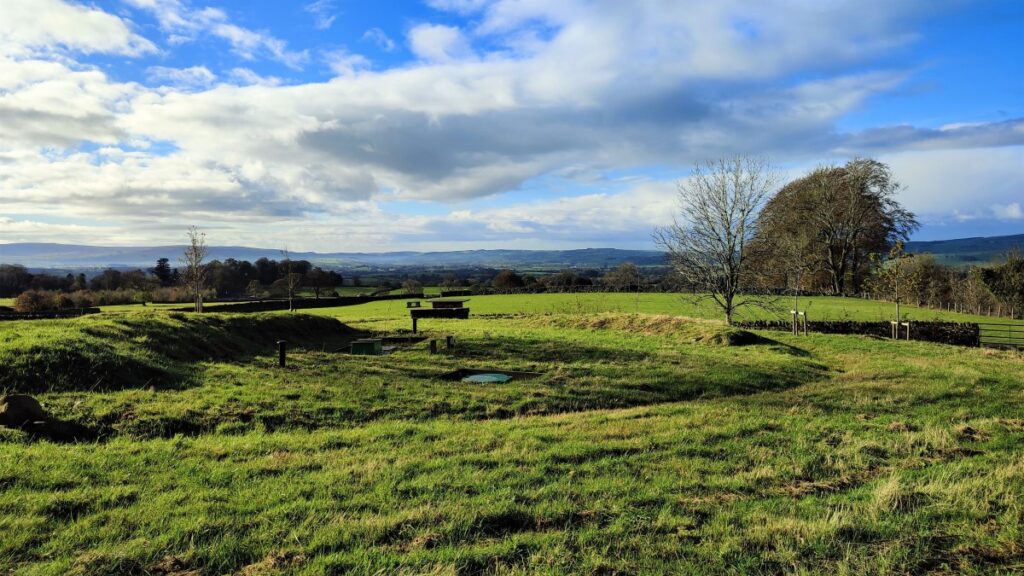
This route takes the form of a figure 8, so there are clear opportunities to walk either loop independently, or to combine them as we have here, to create a moderate walk with great views.
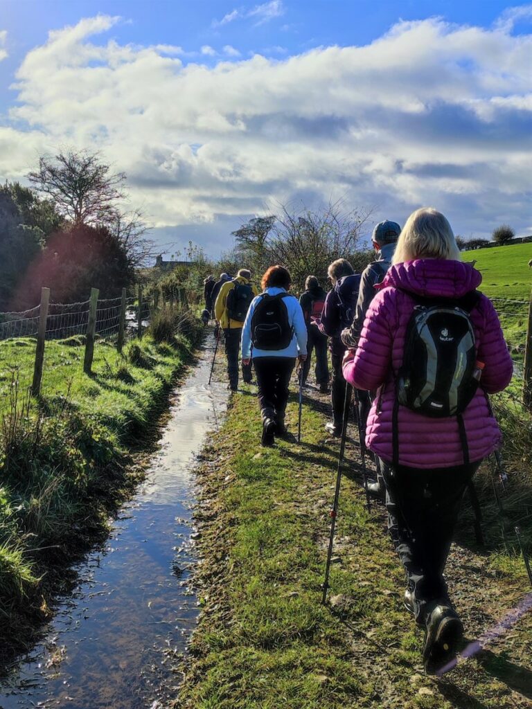
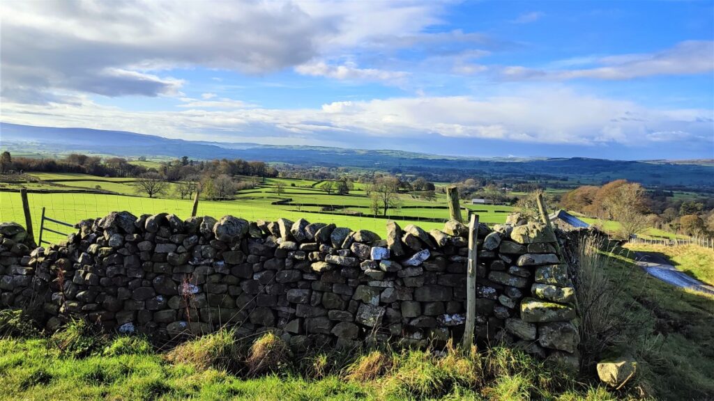
We start with a pleasant stroll along Leck Beck, then take a quiet road up Leck Fell before heading down green lanes to Todgill farm – where the two loops of the walk cross – and from there to Ireby. We then go via Over Hall and Stirragap to Masongill, and back over fields to Ireby again. We then follow a quiet lane back to Cowan Bridge via Leck.
- Total distance 12.0 km (7.5 miles)
- Total ascent 299m
- Moderate walk
Step-by-Step

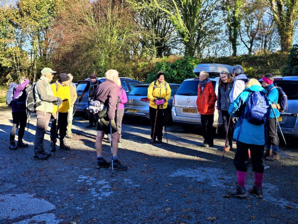
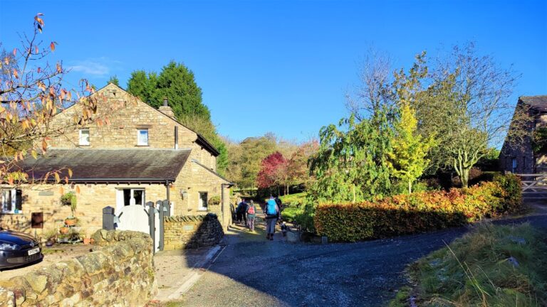
We start at Cowan Bridge – which lies on the A65 between Ingleton and Kirkby Lonsdale. Parking is generally available at the Fraser Hall – look for Cowan Bridge Tea Rooms on the A65 and take the road on the right (if heading toward Kirkby) just before them – Fraser Hall is on the left before the railway bridge. There is an honesty box where you should pay for your parking.
If you are using Satnav to get to here, postcode LA2 6HS applies, whilst what-3-words tag launcher.outwards. evolves pinpoints the carpark. Paper map users should use grid reference SD63597649.
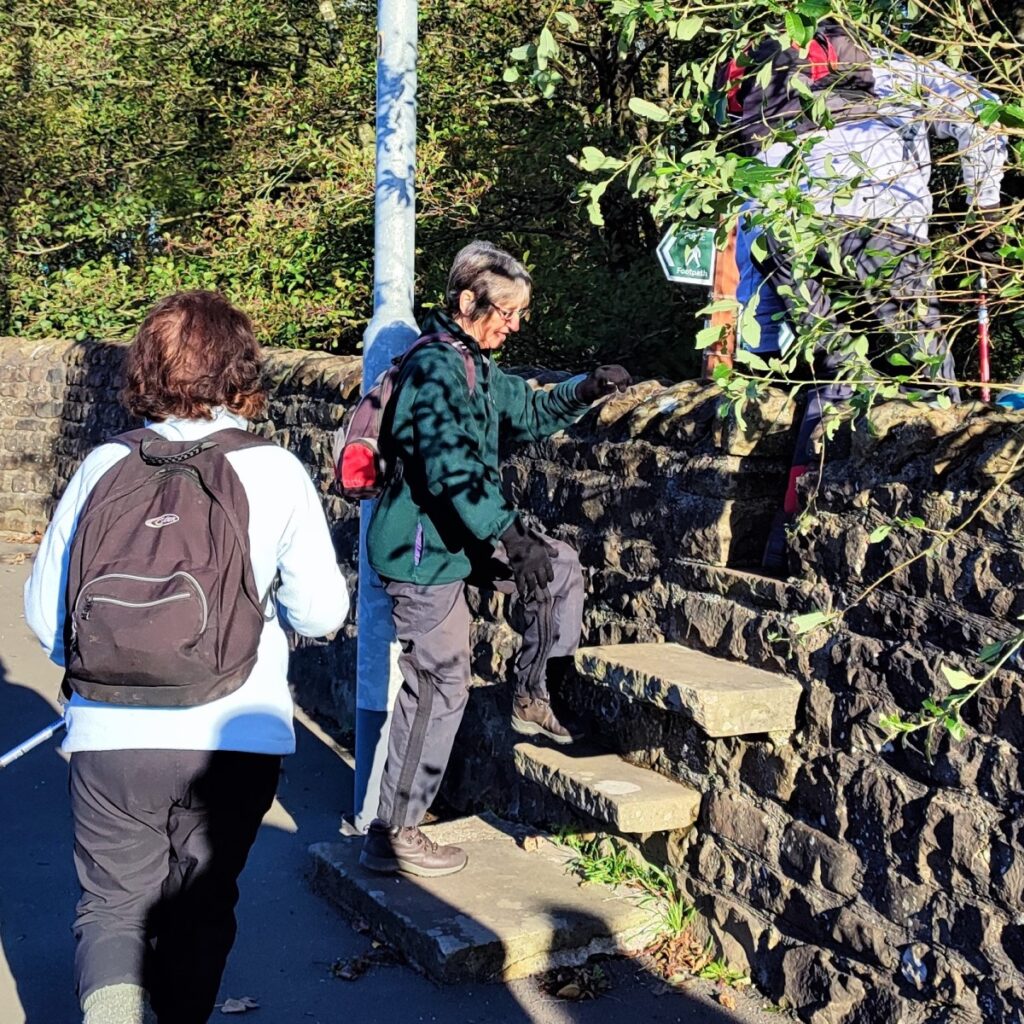
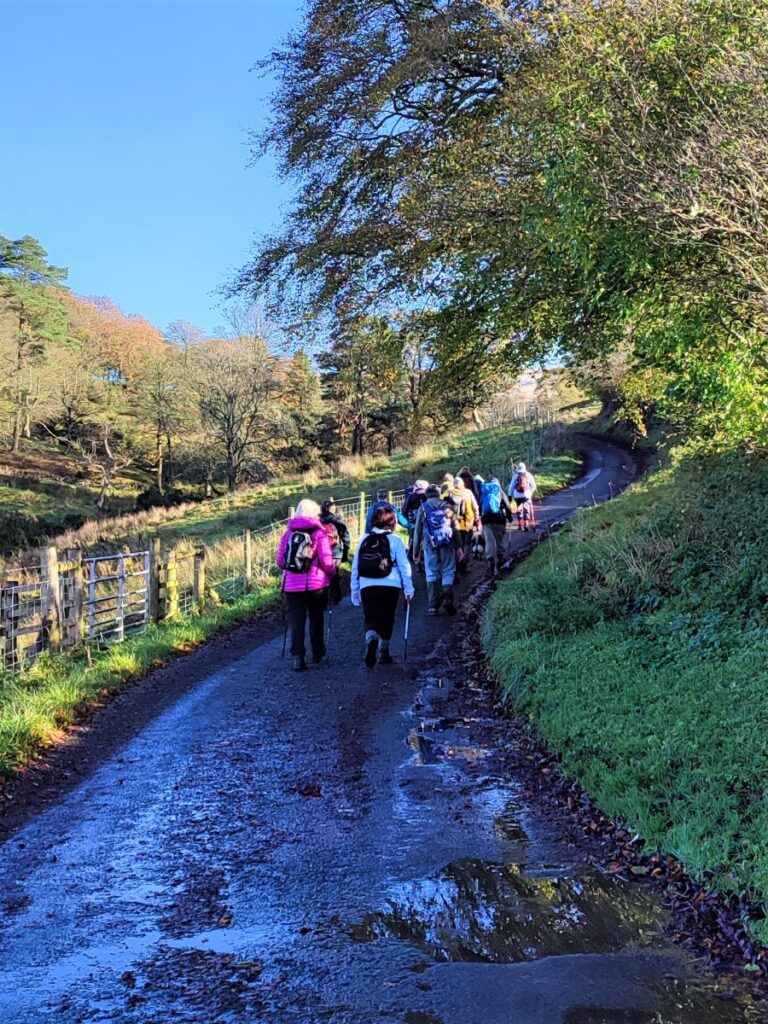
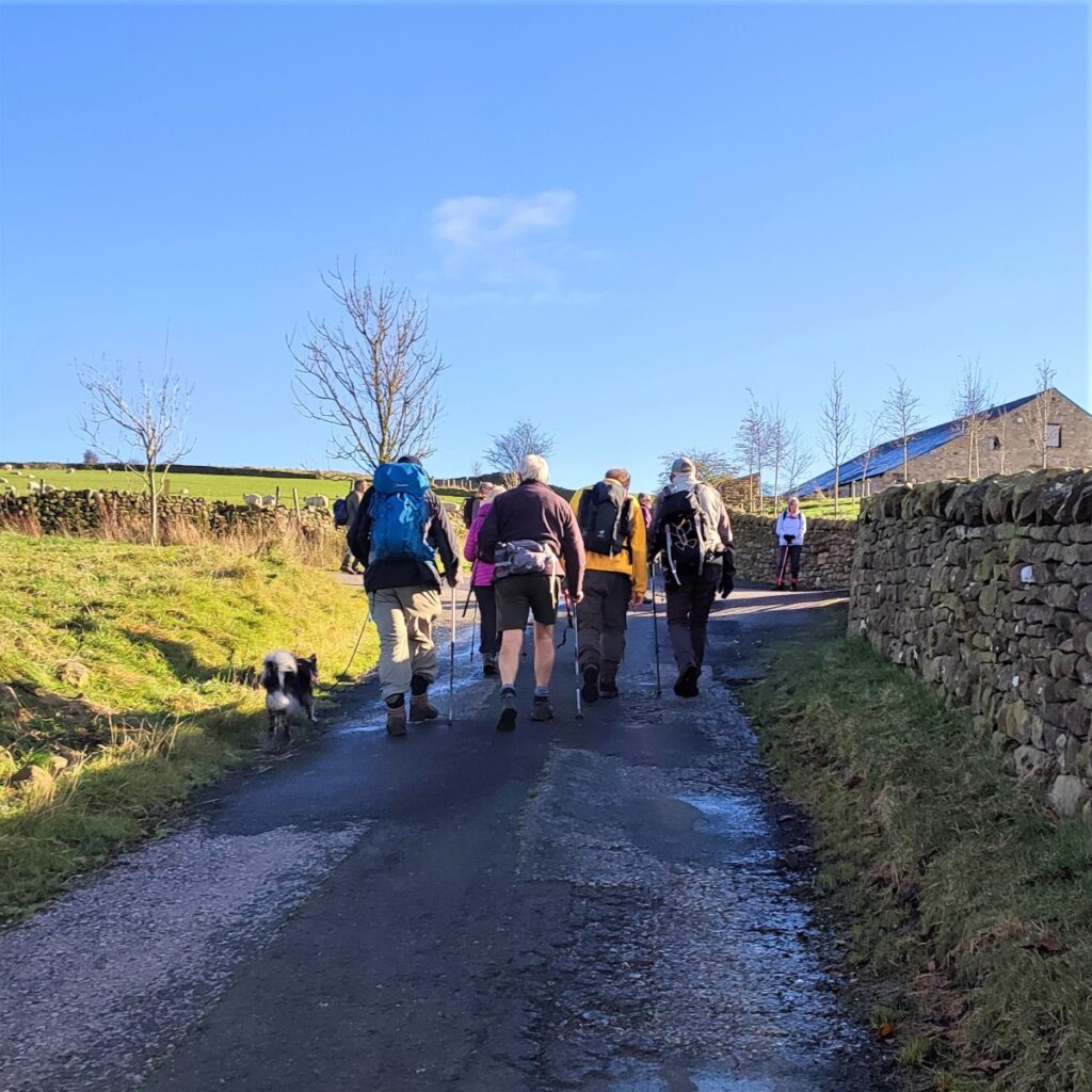
We turn right out of the car park and walk back down to the A65 where we go right along the pavement, past the tea shop. The A65 is a busy road and therefore not an attractive place to walk, but we stay with it for only a very short distance – keep an eye open for a well signposted step stile just before the bridge where the road crosses Leck Beck – this is the Cowan Bridge for which the village is named.
Just before we take the path up the side of Leck Beck though, notice the terrace on the opposite side of the road – this was once the site of the Clergy Daughter’s School – and for this reason Cowan Bridge is forever associated with the Bronte sisters: Maria, Elizabeth, Charlotte and Emily all attended the school at Cowan Bridge from 1824.
The teaching regime and living conditions were reported to be very harsh – even by the low standards of that time, and it is often suggested that Lowood School in Charlotte Bronte’s novel “Jane Eyre” is based on the Clergy Daughter’s School.
The Bronte sisters only lived in Cowan Bridge for one year because in 1825 sickness amongst pupils and staff forced the school to move to the coast, and the Bronte girls returned home to Howarth. Maria and Elizabeth died shortly after, though Charlotte and Emily reached adulthood.

The school itself relocated again to nearby Casterton in 1830, and other BFG walks in Casterton pass the buildings of the later iteration of the ill-fated school.
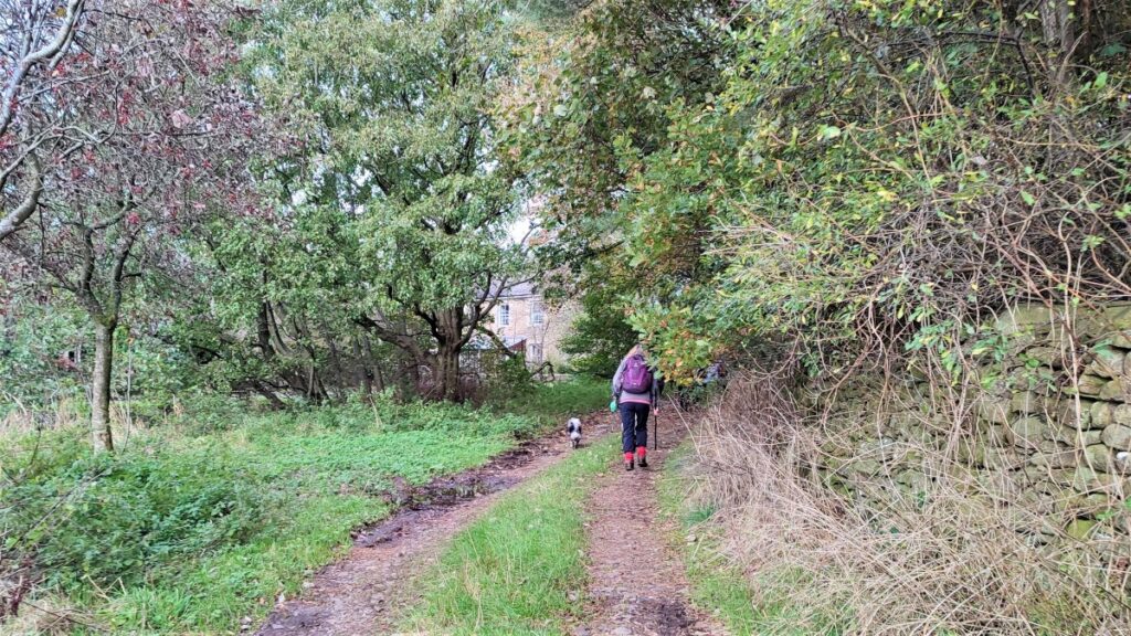
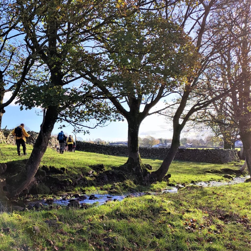
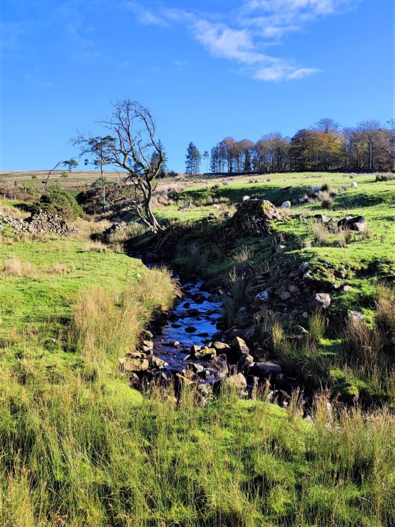
Having taken the stile onto the East bank of Leck Beck, we follow the river upstream, under the old railway bridge: This once served the Ingleton branch line – which was originally intended in 1846 to form part of a main line route from London to Scotland. However, it fell victim to rivalry between railway companies, and completion was delayed until 1861, and even then, it was only ever a rural branch line, serving the towns of Ingleton, Kirkby Lonsdale and Sedbergh. It closed to passengers in 1954 – long before the “Beeching axe”.
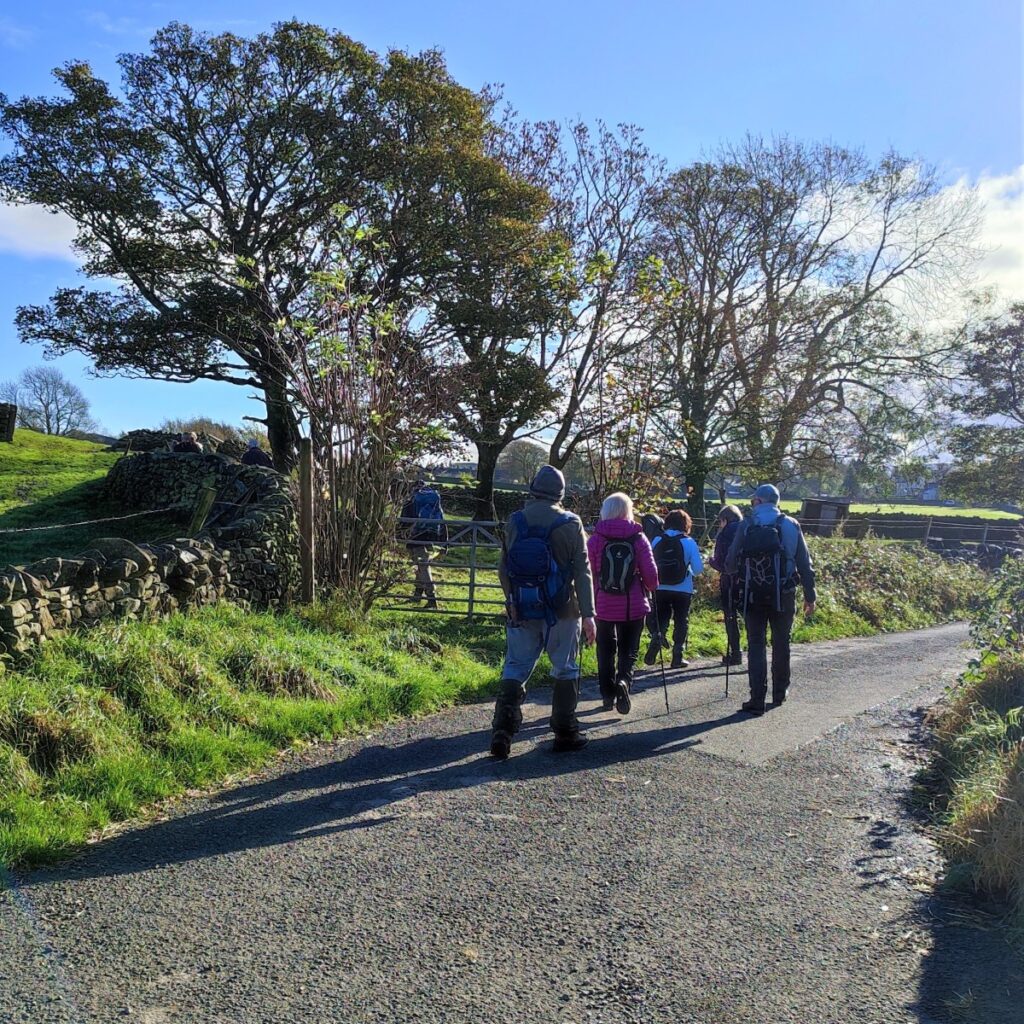
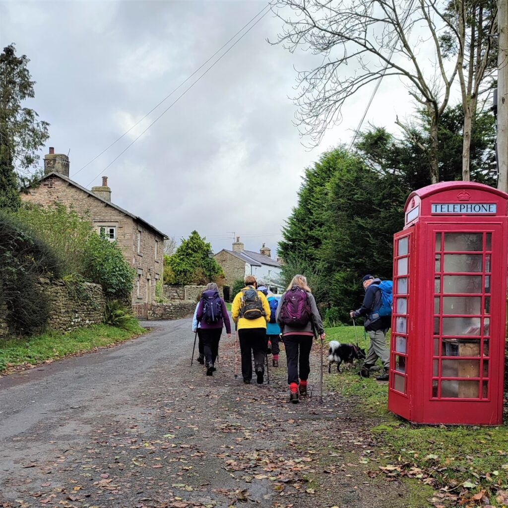
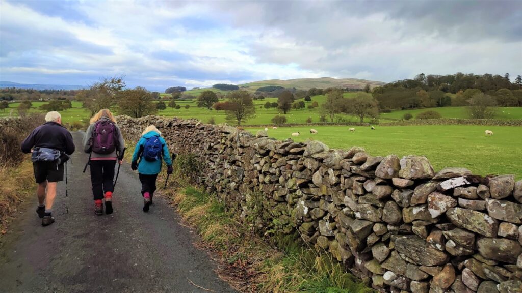
The path continues along the bank of the river until we come to a stile into a broad flat field at Leck – and here we cross the field to find another stile onto a minor road just to the right of a group of houses.
At the road we head left – still heading upstream although the river is temporarily out of sight.
The road takes a dogleg first right, then left and we approach a triangular green where the road leaves on the right – we press on straight ahead past a house and onward up a lane.
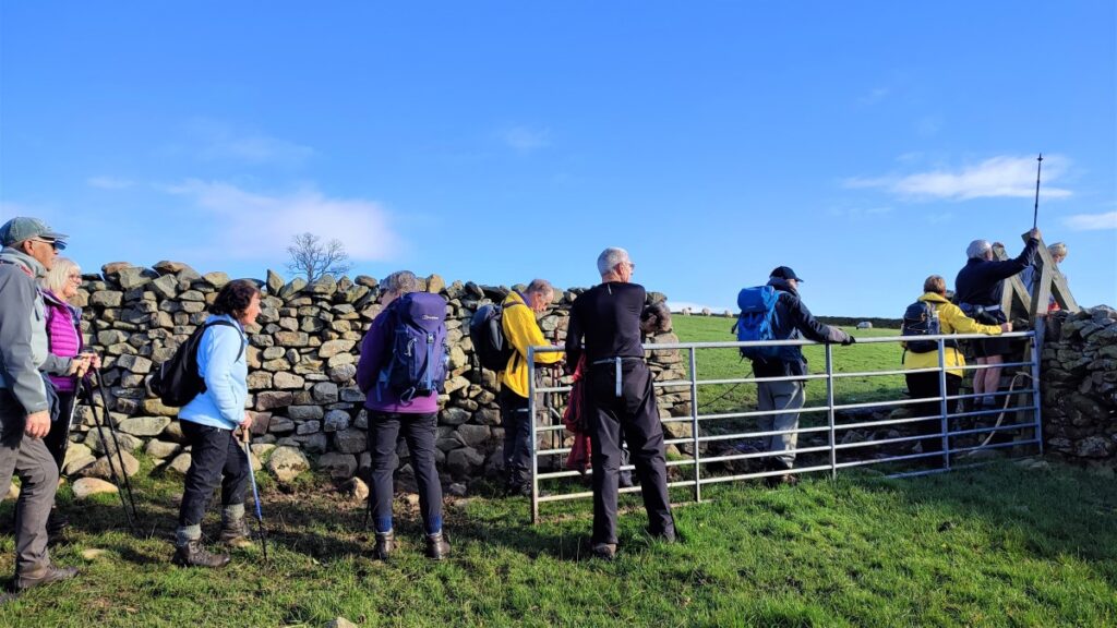
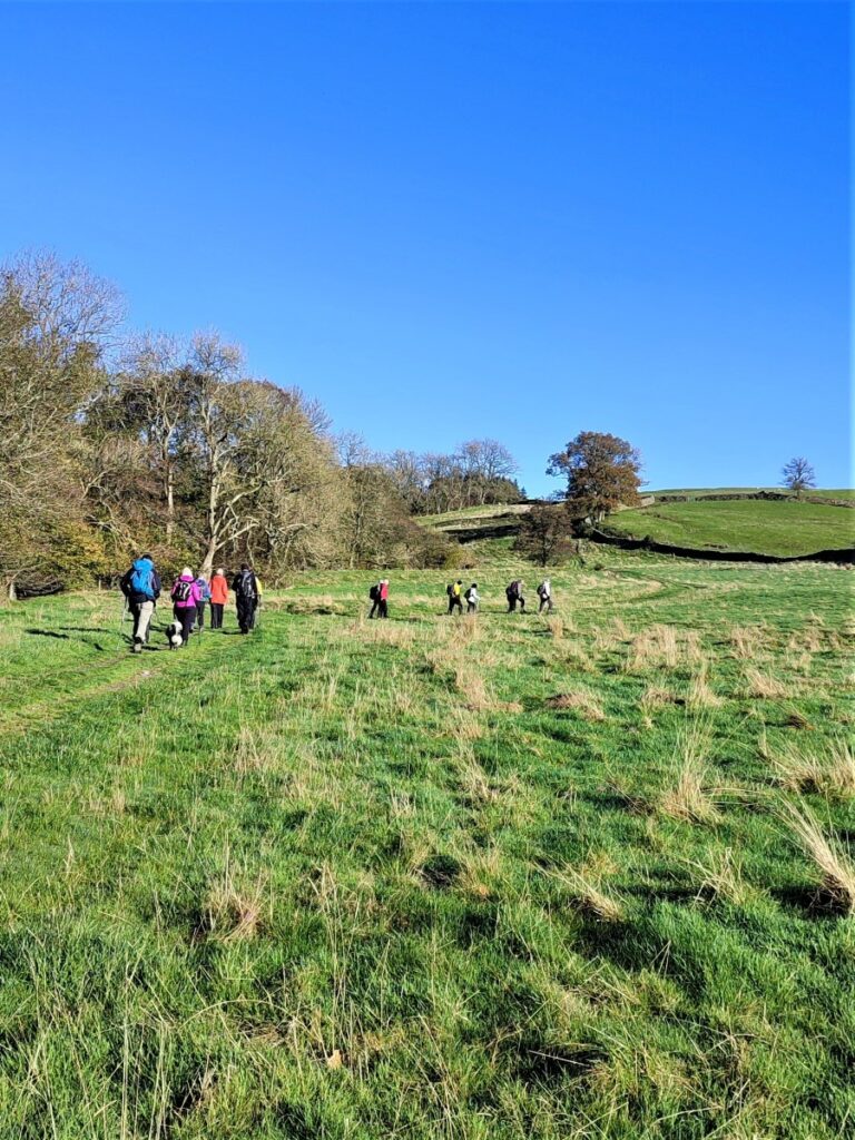
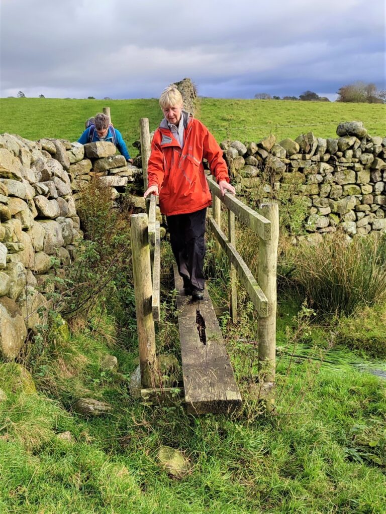
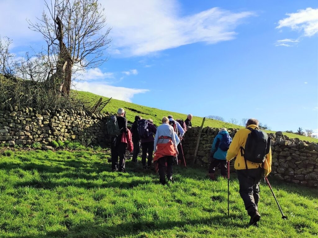
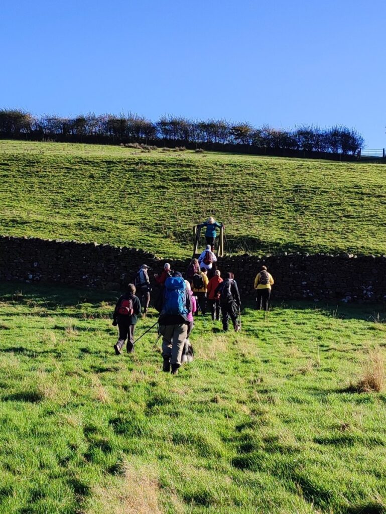
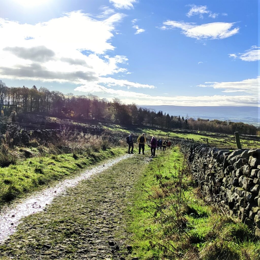
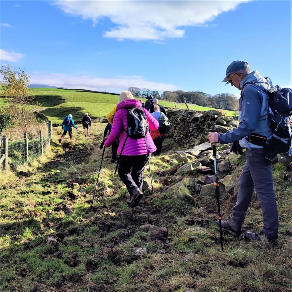
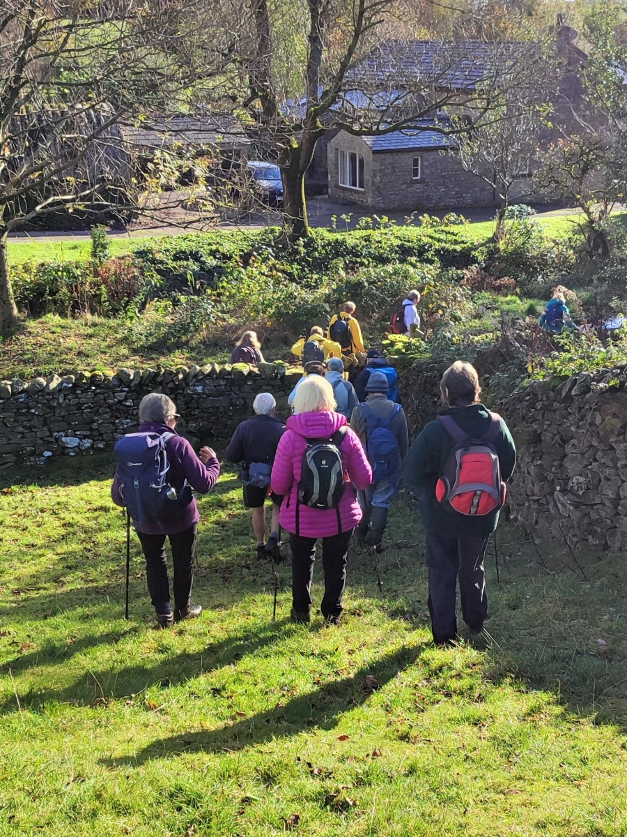
A path leaves the lane on the right, but we ignore this and carry on, to find a large gate where we enter a flat riverside meadow – we are now back with Leck Beck, and heading NE. We cross a boundary at the end of the first field and start to get close to the riverbank again – this is where we need to look to the right to spot a large ladder stile over the drystone wall which we cross to head East climbing to Bank House where the path reaches a minor road.
We go left at the road, although as the path joins the road at the apex of a sharp bend, we are in fact carrying on in much the same direction as before – NE.


The road serves a few isolated buildings as it rises up Leck Fell – but it ends at Leck Fell House, so traffic is normally very light. There are a number of caves and potholes further up the road accessing the Lost John’s Cave system so don’t be surprised to see people dressed for caving.
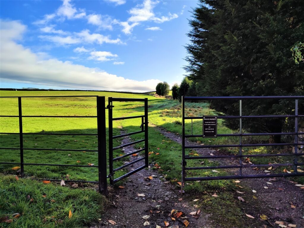
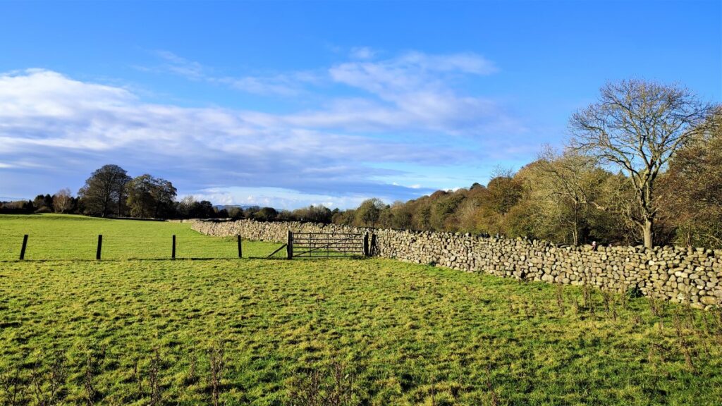
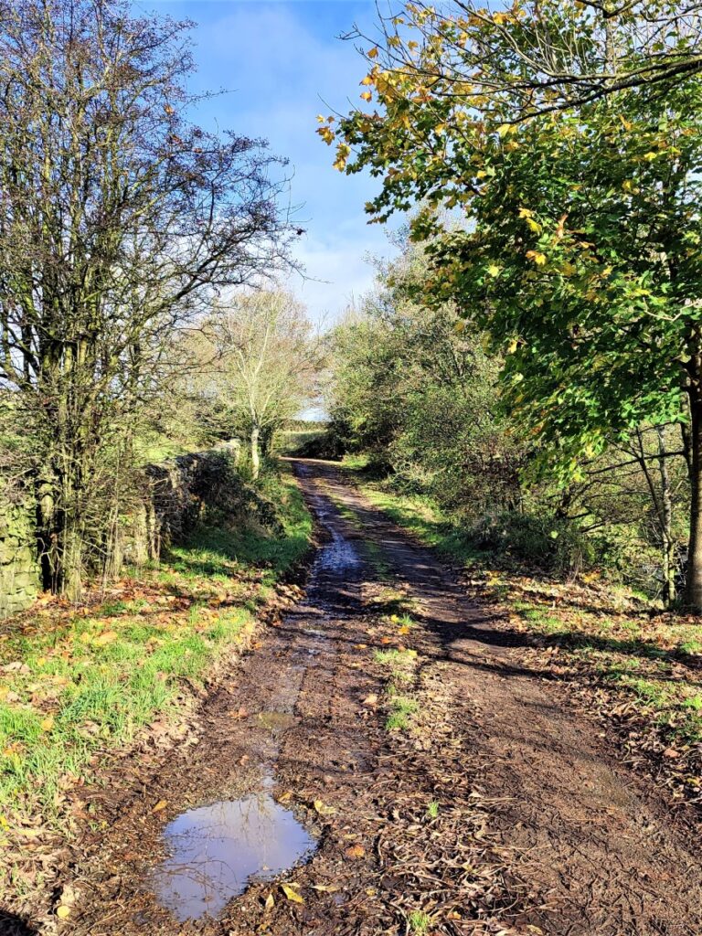
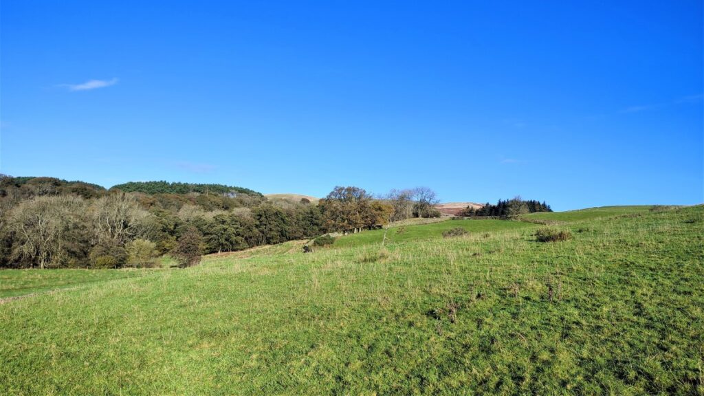
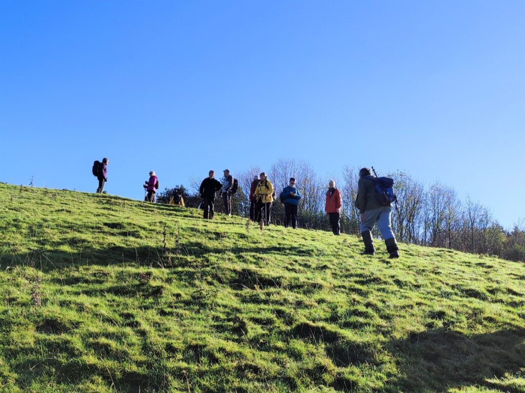
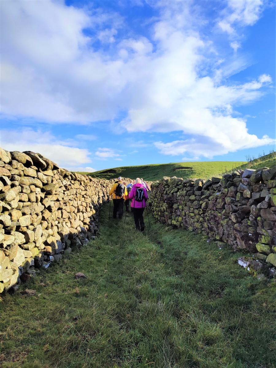
We head on uphill until we reach Fellside Barn – just beyond this we need to locate the green lane on the right which runs over to Ireby.
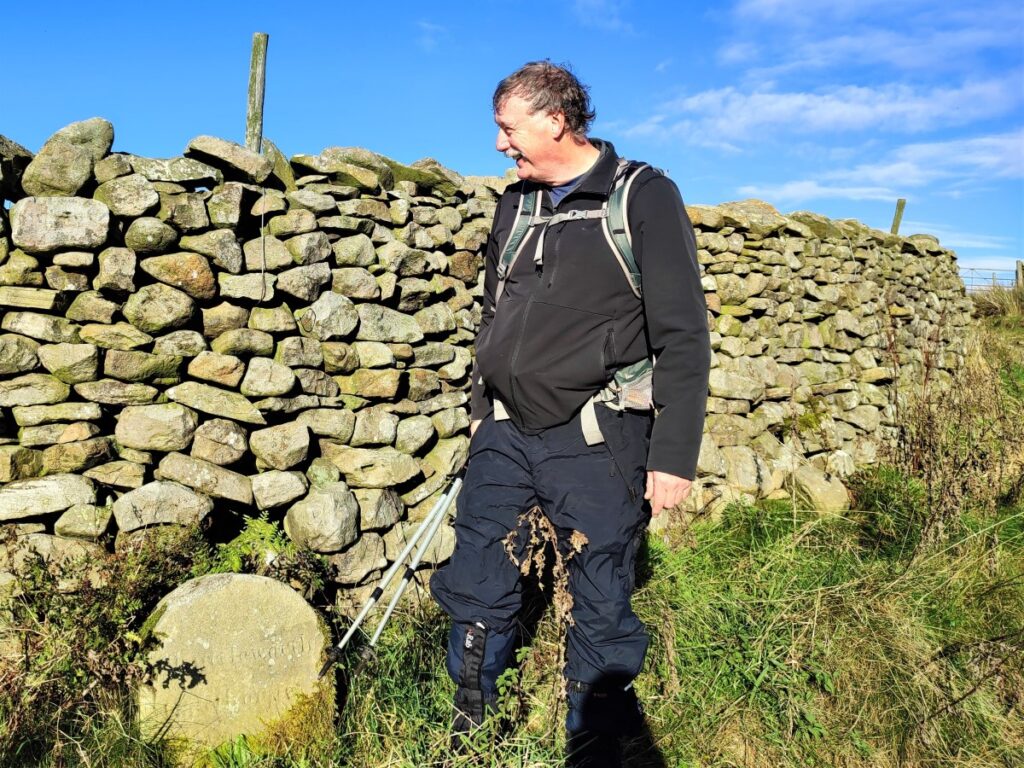
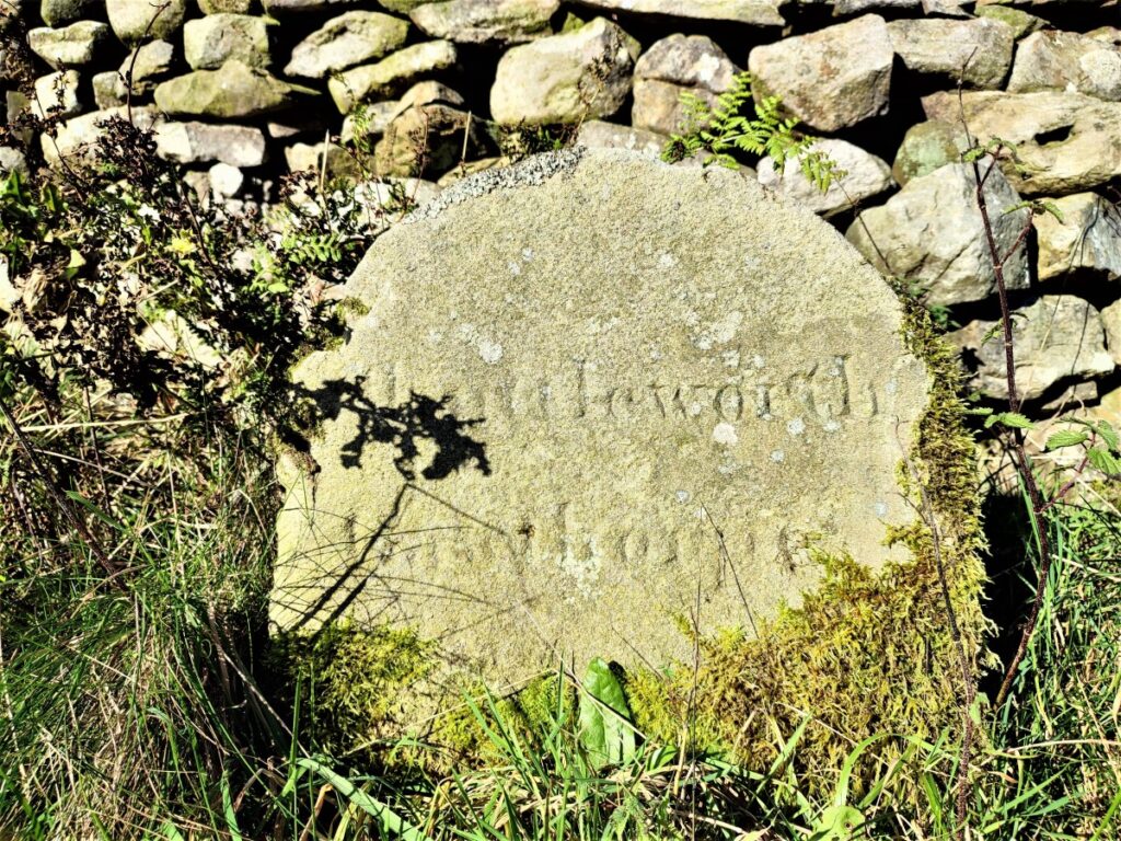
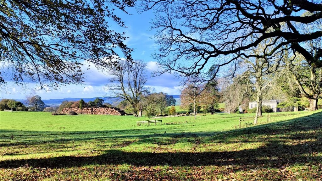
Some way down this lane we noted what initially looks like a milestone, carrying the name Shuttleworth. It seems likely that this marks the extent of the grounds for Leck Hall just to the right of the lane as we head South. Leck Hall is an 18th-century country house standing in an informal park with an orangery nearby. Home farm, from the late 18th century, is close to the house and there is a Lodge at the entrance to the drive. It is the current seat of Baron Shuttleworth, of Gawthorpe Hall, Padiham in the County Palatine of Lancaster (Lancashire) and is not open to the public.
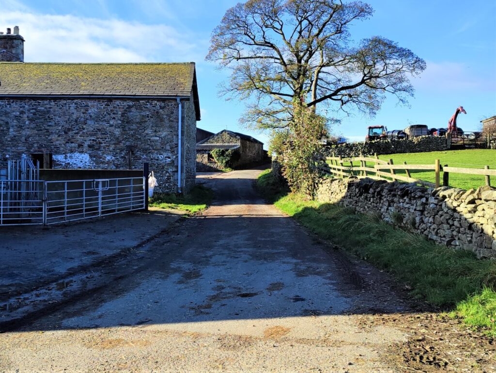
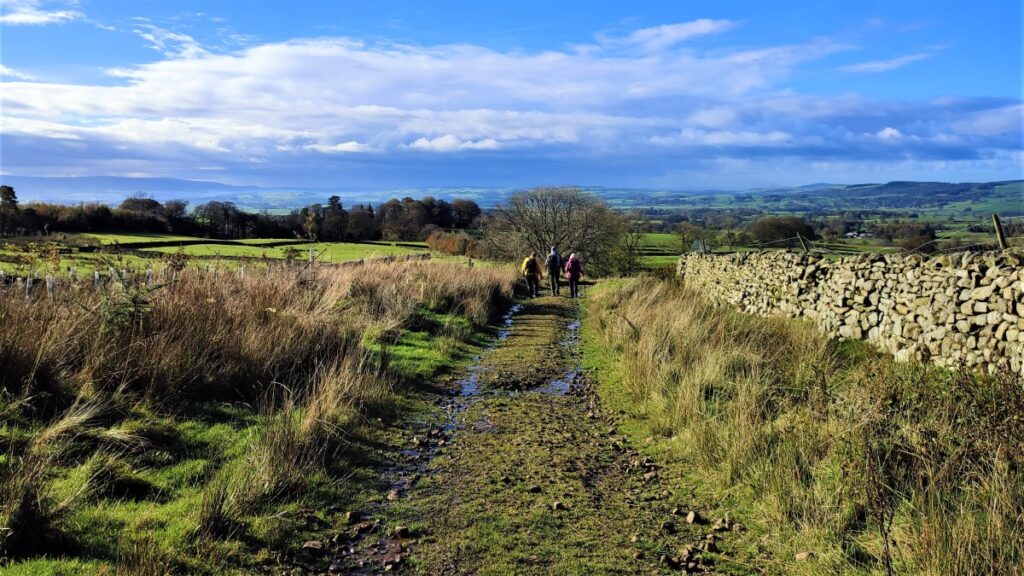
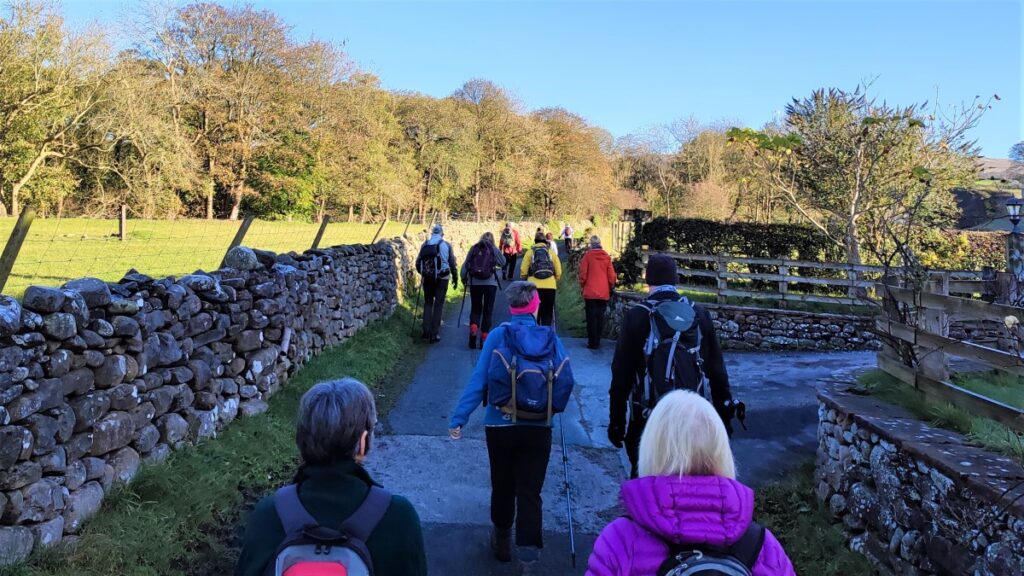
We press on along the lane though some ash woodland until we arrive at Todgill Farm. This is where the two loops of the figure 8 cross, so if time is pressing, the weather has turned or you prefer an easier walk, head right at the farm along the minor road, heading West.
For those who want to include Ireby and Masongill – both very attractive villages, look for a gate on the left opposite the farm buildings. This takes us onto a path across the fields in a SE direction toward Ireby, which soon ends at a steep downhill path to a stile onto a track where we turn right and head down into Ireby.
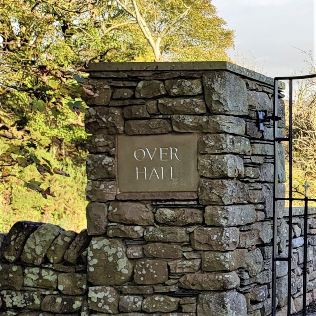
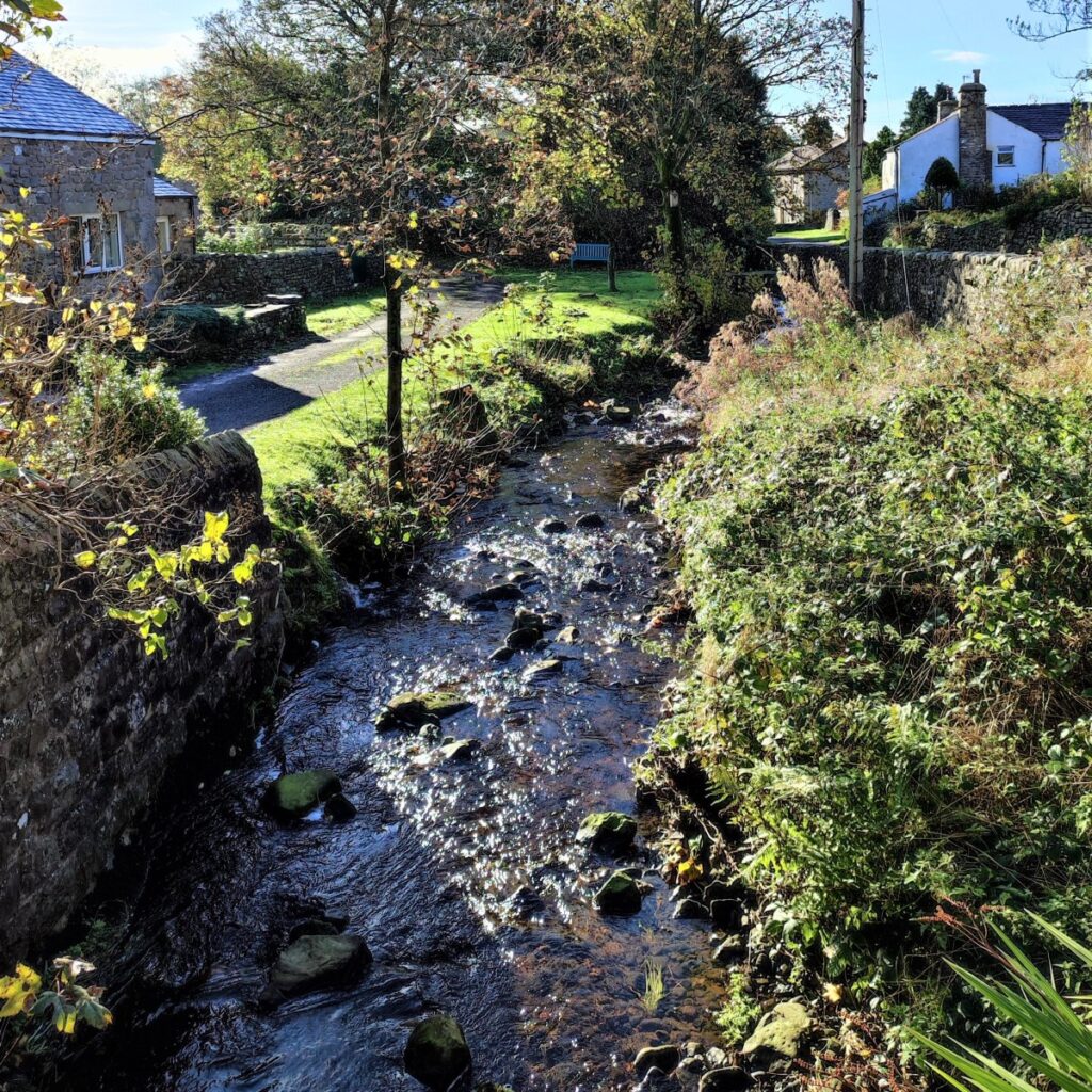
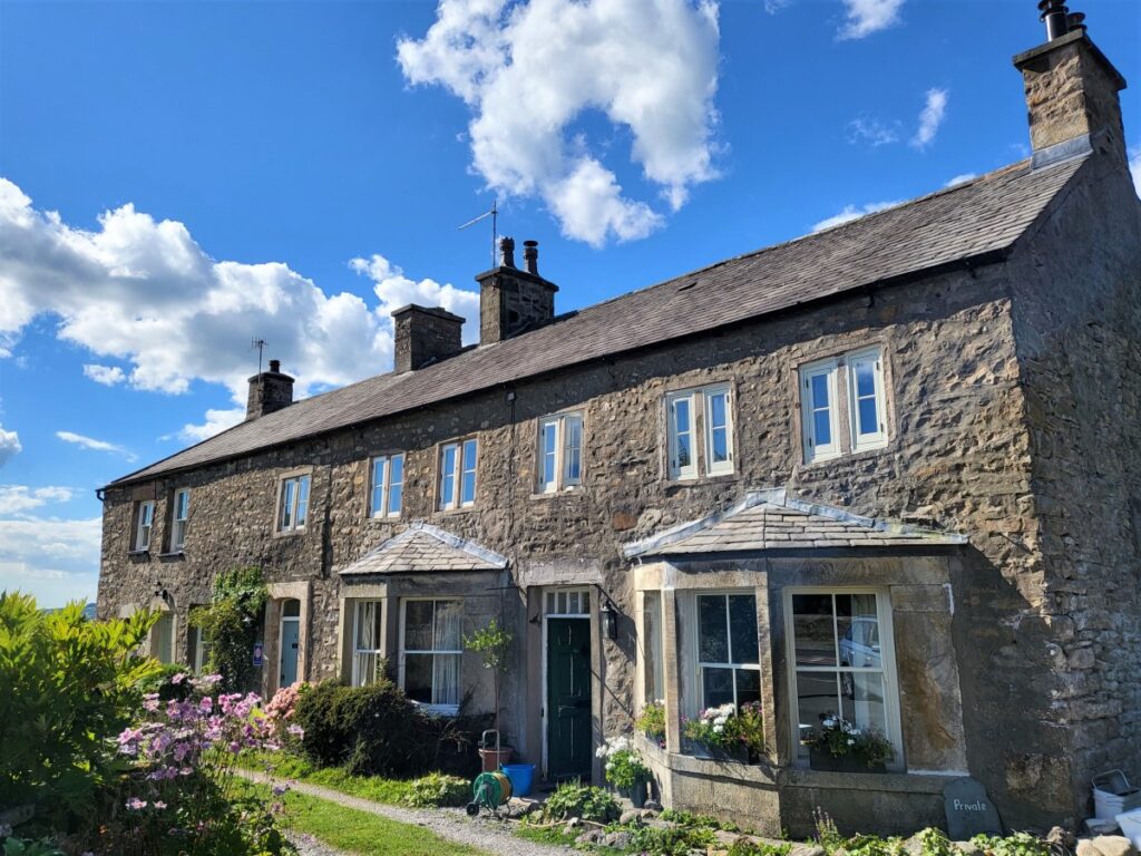
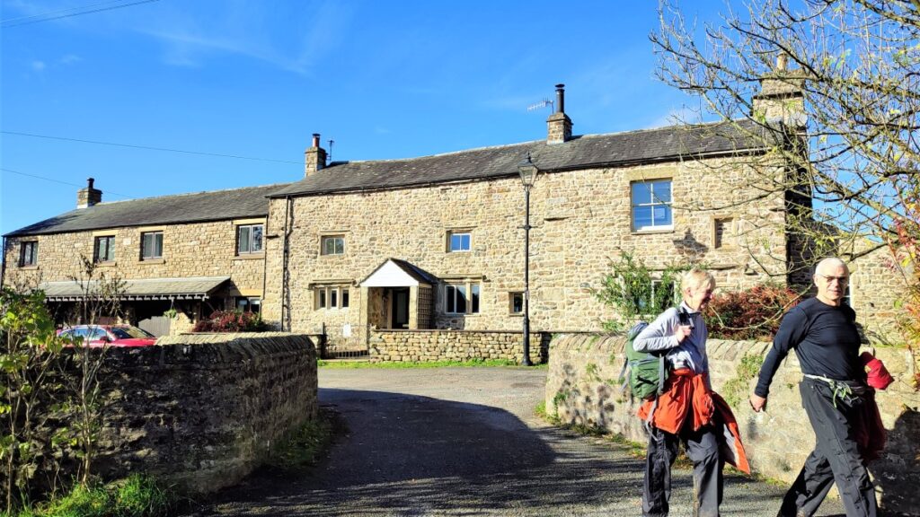
At Ireby, which according to Wikipedia means “The town of the Irish Vikings”, we see a stone bridge over Ghyll beck, and we cross before turning left to head back up the beck on the opposite side. The lane passes a number of very attractive houses before heading up to Over Hall.
Records suggest that Over Hall was possibly a medieval fortified manorial complex, which was held in the 14th century, by Edmund de Dacre. The early 17th century stone manor house which we see now, consists of two storeys and contains a central single storey hall, with a gallery. A 17th century two storey cross-wing and an earlier embattled two storey chamber block, which may be a small pele tower, are attached on the gable ends.
The path skirts to right of the house where lots of helpful signage has been provided to encourage the correct route to be chosen, before rising to meet a drystone wall which we follow round to meet an enclosed lane at Stirragap.
We follow the lane for a short while – noting that it soon opens out to become much less obviously an enclosed lane.
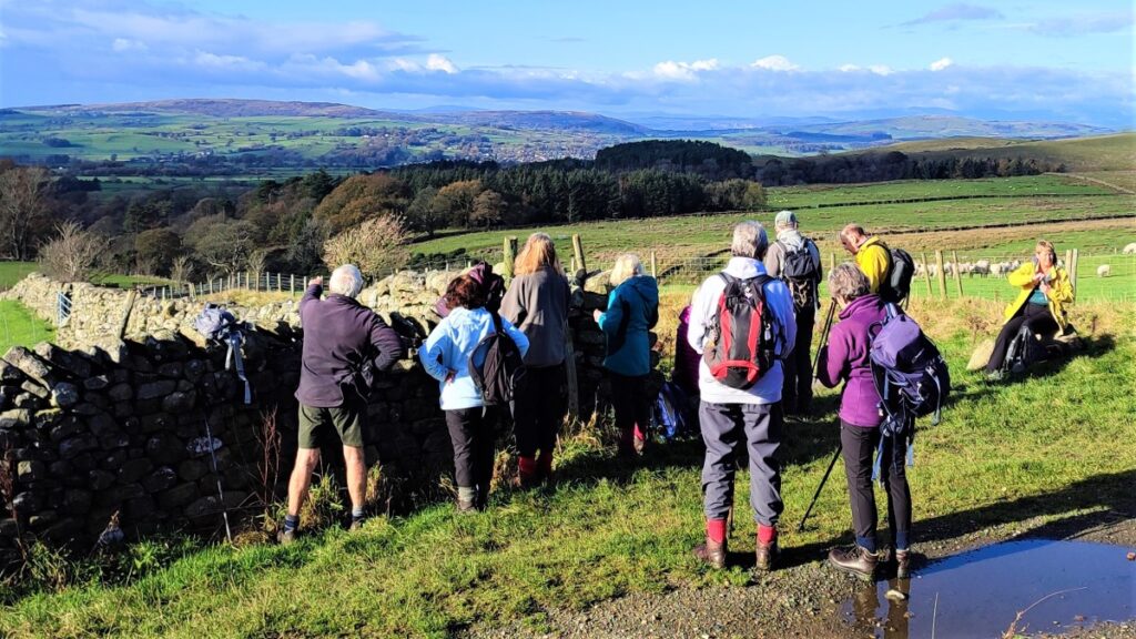
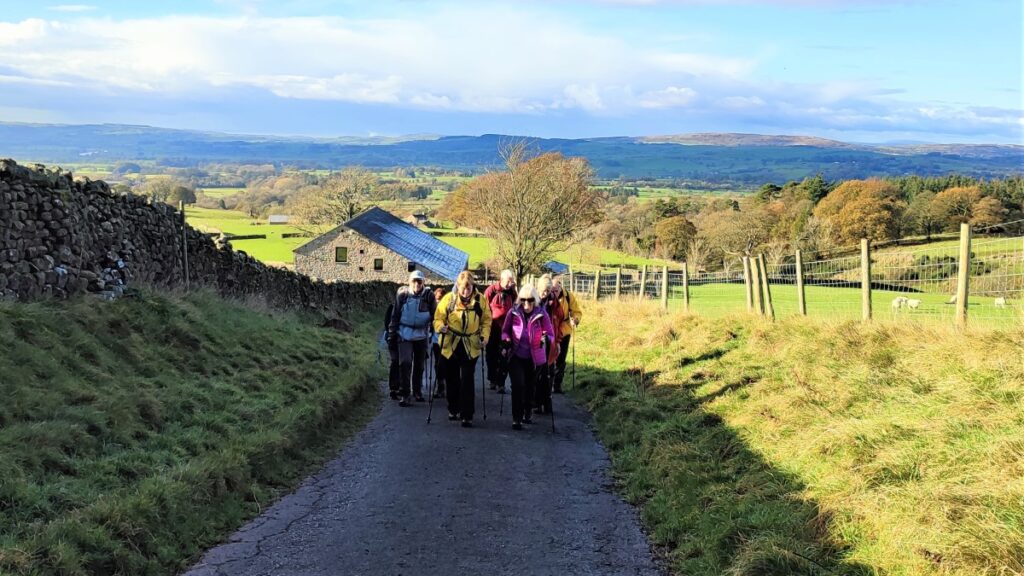
We soon arrive at a small, metalled road just North of Masongill, and here we turn right to stroll downhill into the village – we should have a telephone box, now used as a local book swap, ahead of us.
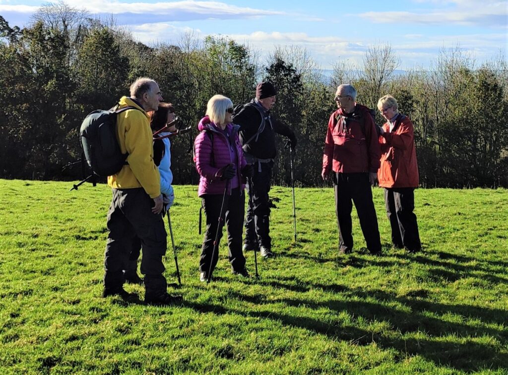
Masongill is a very attractive village, and a good place to stop for a break – we are now at the farthest point and have completed more than half of the walk.
There is a (tenuous) link between Masongill and Sherlock Holmes: St. Mary’s Church Ingleton contains a memorial to Randall Hopley Sherlock. He was the brother of the vicar, Todd Sherlock, and died after being struck by lightning on Ingleton station. Mary Doyle, mother of Arthur Conan Doyle, lived in Masongill from 1882 to 1917, and Arthur Conan Doyle was known to be a frequent visitor, arriving by train at Ingleton (Midland) railway station and continued his journey to Masongill by cart. This would have taken him through Holme Head, below Ingleton viaduct, and it is suggested that the detective was named by combining elements of Randall Hopley Sherlock and Holme Head. How easily the most famous fictional detective could have been Hopley Head.
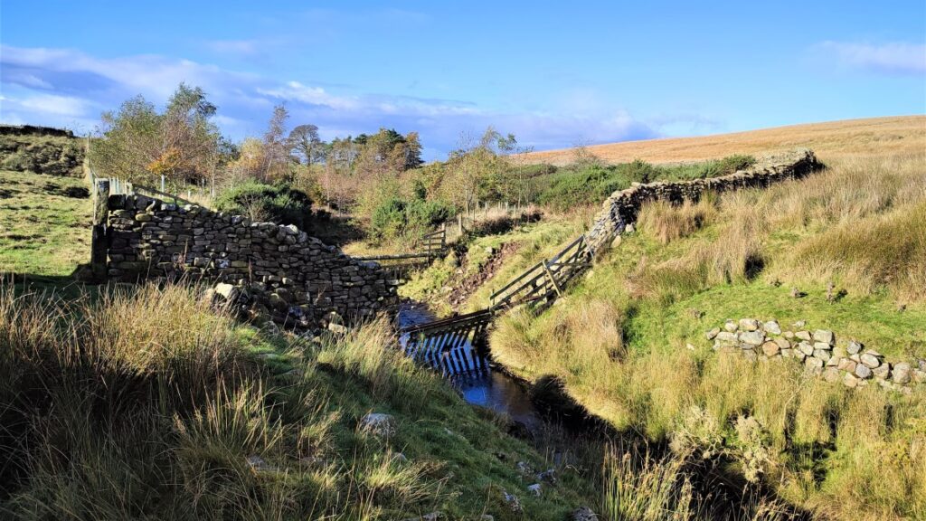
At the phone box in Masongill the road forks, and we take the smaller quieter lane to the right, heading down to a dead end where the footpath exits via a garden at the side of a cottage. From here the path heads west across fields with clear stiles at each drystone wall. There is also a wooden footbridge to be negotiated – take care in the wet this can be quite slippery.
We press on westward across the front of the private grounds of a large house toward Ireby and as the path reaches the village it curves right along the side of the beck which we cross to pick up the road, heading right – the river will now be on our right.
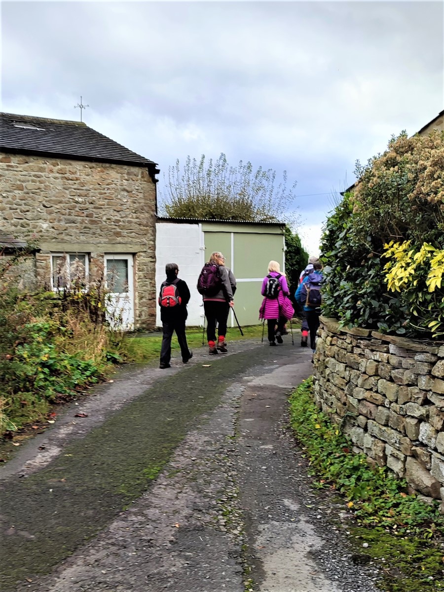
We initially head North up the road but look out for a junction where we take a left turn just a few metres ahead. This takes us past a several houses and on to Todgill Farm, which we recall from earlier as the point where the two loops of the figure 8 meet.
At the farm we take the road round to the left, on past the farm buildings before we reach a point where the road bears right and a farm track continues onward. We take the road and follow it for a while heading Northwest. A footpath crosses the road and although the path looks tempting, we carry on along the road skirting Heber Hill on our left and coming round to Lodge Farm – perhaps built as a lodge house for either Hipping Hall or Leck Hall.
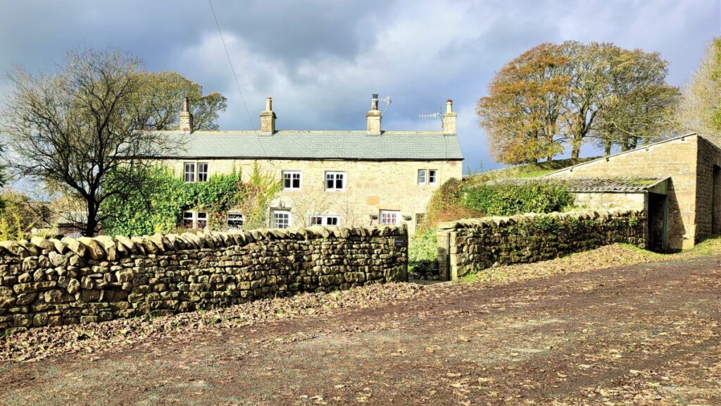
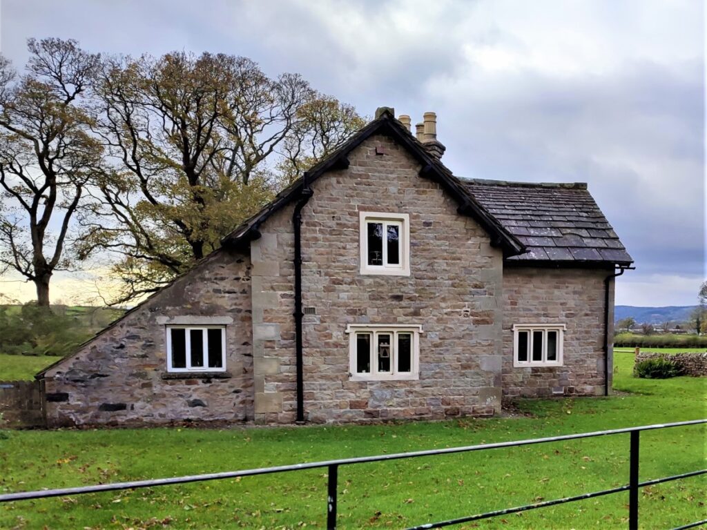
We press on along the road and soon arrive at the old Leck School for Girls – now a dwelling – and not the same school as the Cowan Bridge girls’ school.
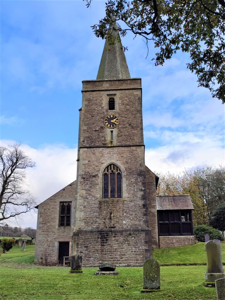
From here we have the impressive church of St Peter at Leck in our field of vision.
The scale of this church, particularly the spire, seems somewhat out of keeping with the size of Leck, and this is related to an accidental fire in 1913 which destroyed the smaller Victorian church that initially stood there. The church appears (according to it’s own website) to have been “over insured” which created an opportunity to build a much grander replacement – which we see today.
We carry on past the church and arrive at a road junction, where we go left and head back down to Cowan Bridge where the walk ends.
- Total distance 12.0 km (7.5 miles)
- Total ascent 299m
- Moderate walk