Jump to . . .Step by Step | OS Map | Downloads | Gallery | Fly through
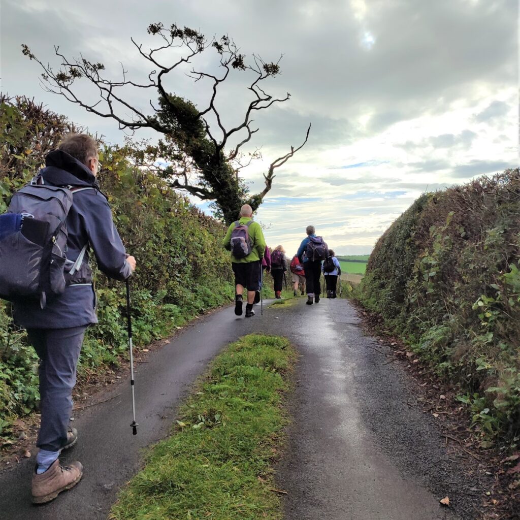
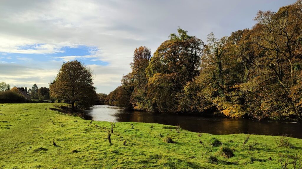
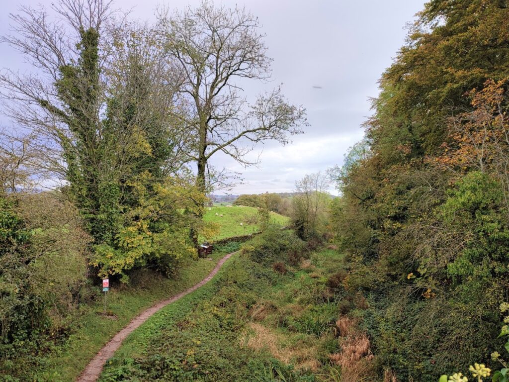
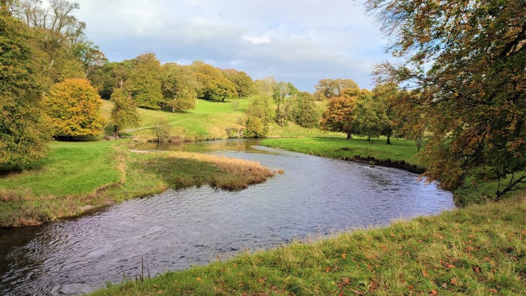
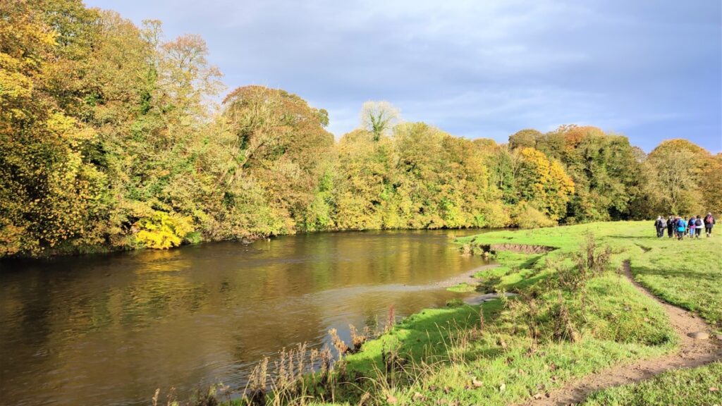
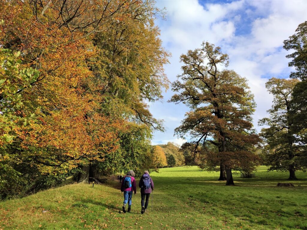
The Kent estuary and the surrounding hills may not be as spectacular as the Northern end of the Lake District, but they are filled with interesting history, great views, and much quieter paths.
This walk is classed as moderate – simply because it’s fractionally longer than our 12 km break point, and takes in riverside paths, a waterless canal, 16th century halls, an Elizabethan manor house, a deer park, and a herd of Bagot Goats.
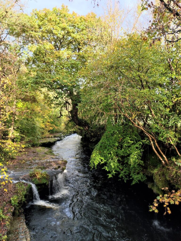
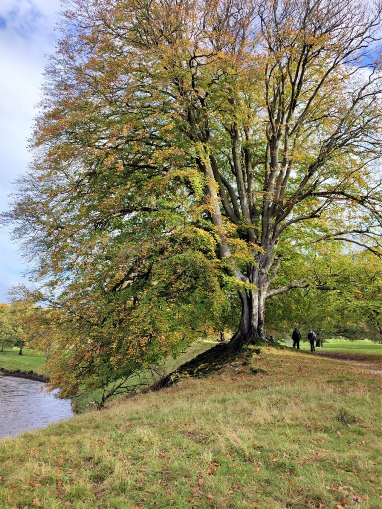
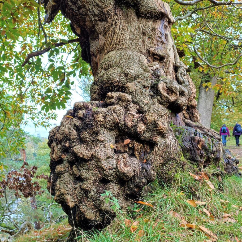
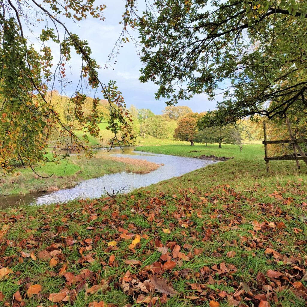
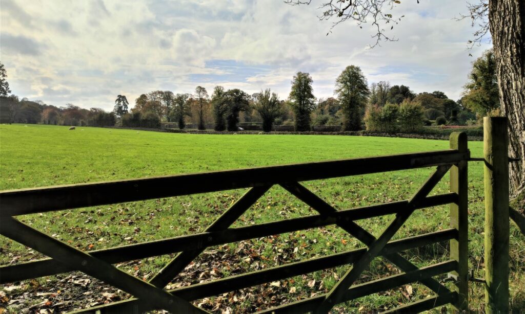
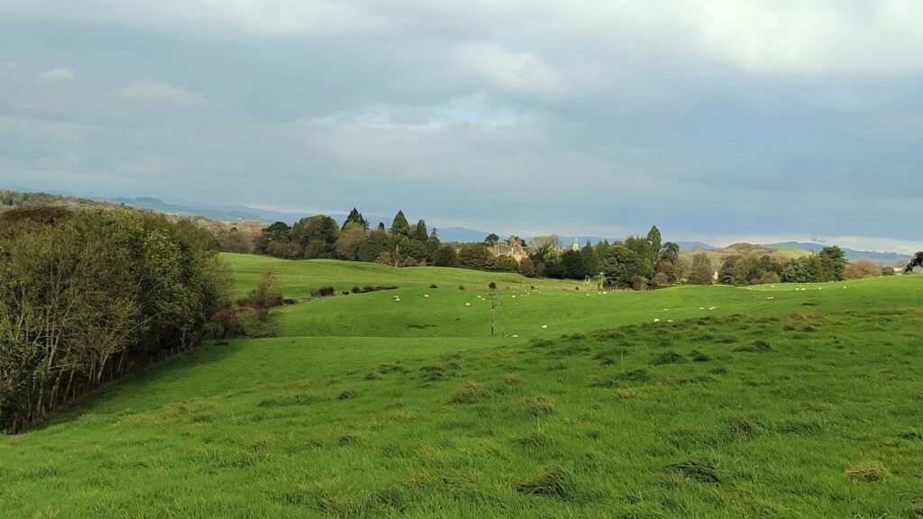
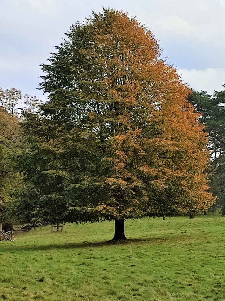
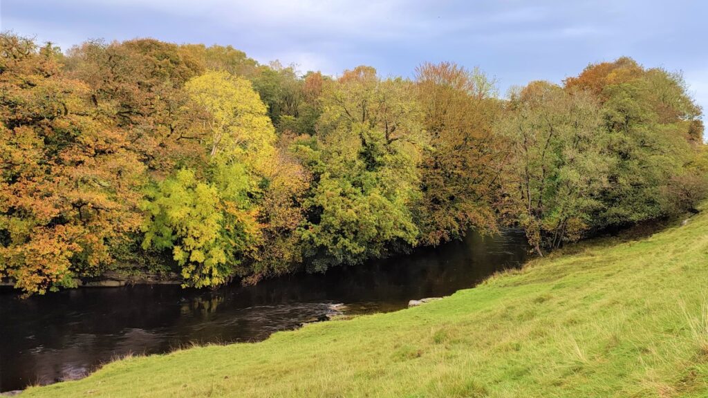
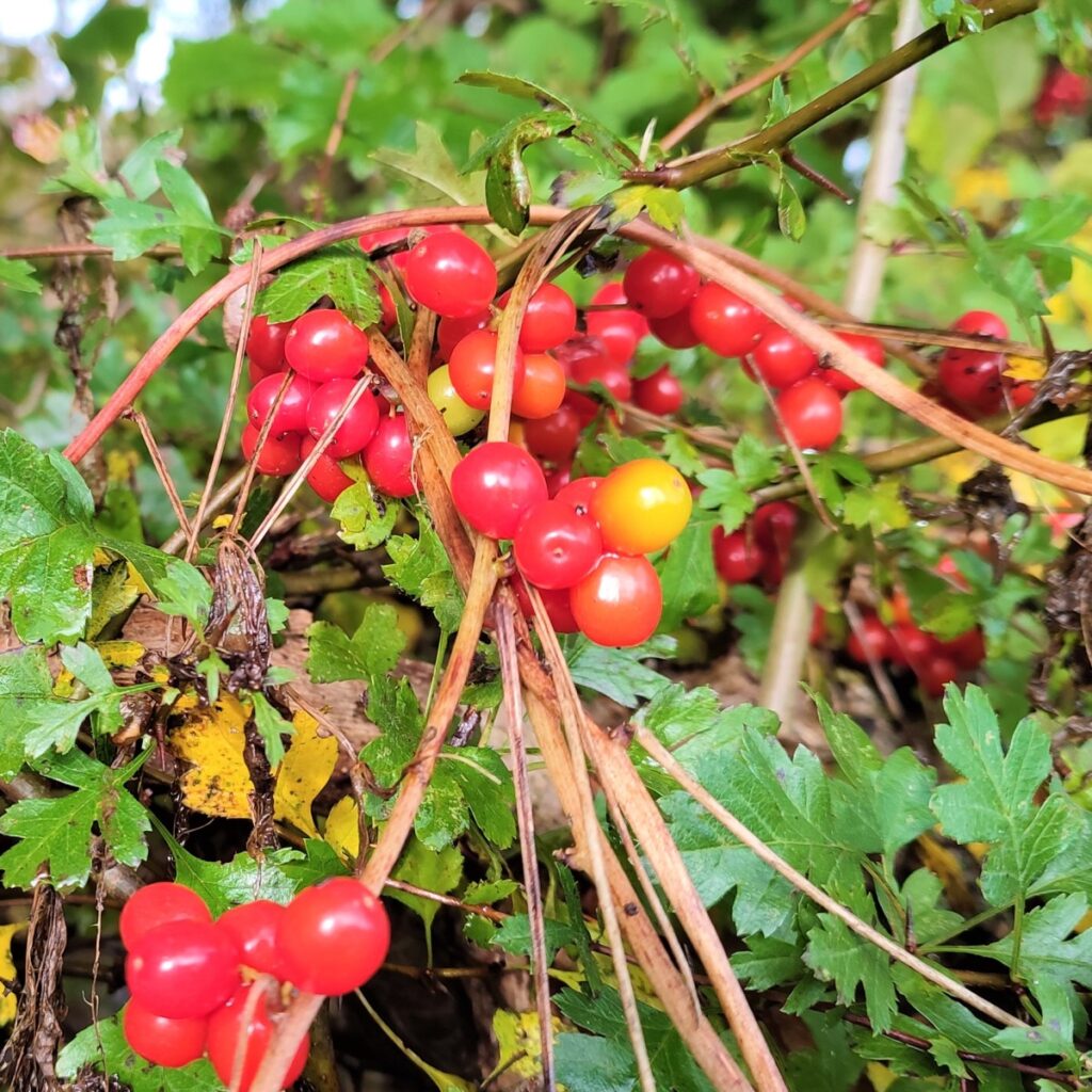
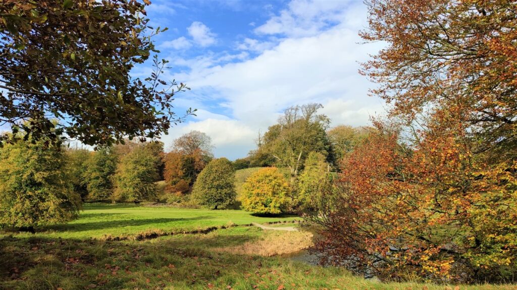
Pick a bright autumn day and the woodland colours are spectacular – as you can see in the gallery.
- Total distance 12.8 km (8.0 miles)
- Total ascent 322m
- Moderate walk
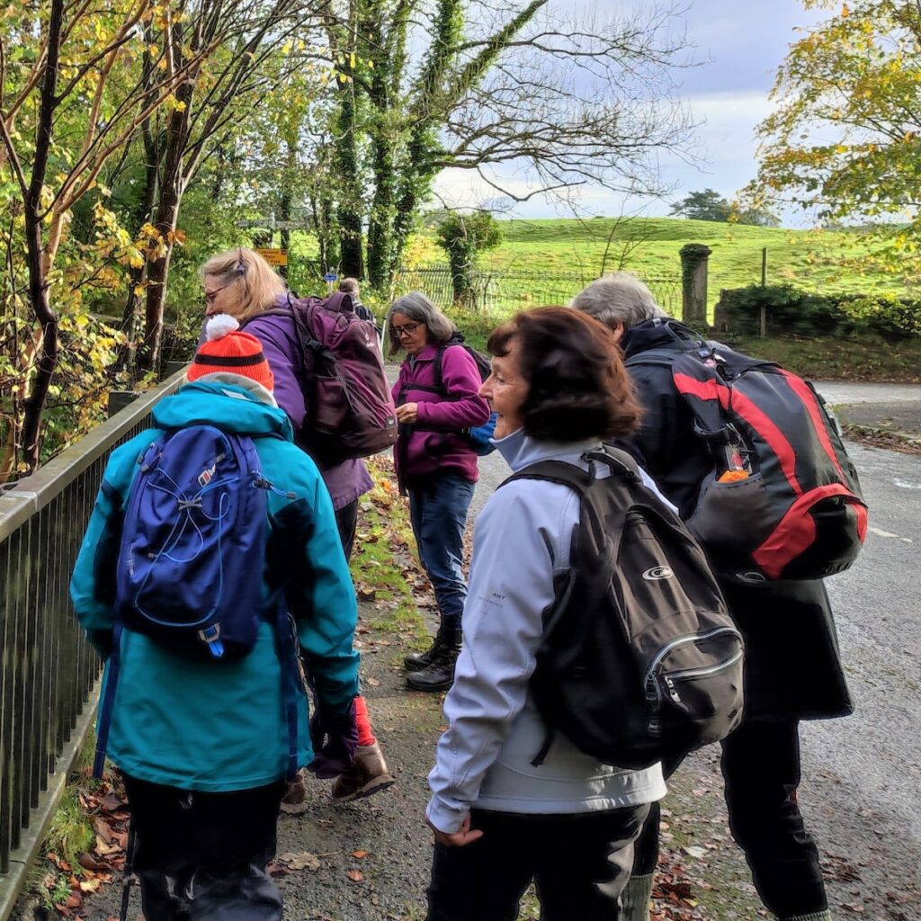
Step-by-Step
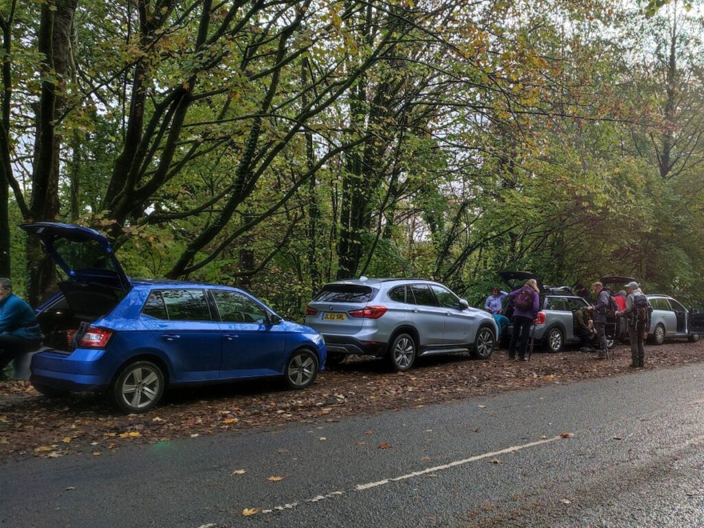
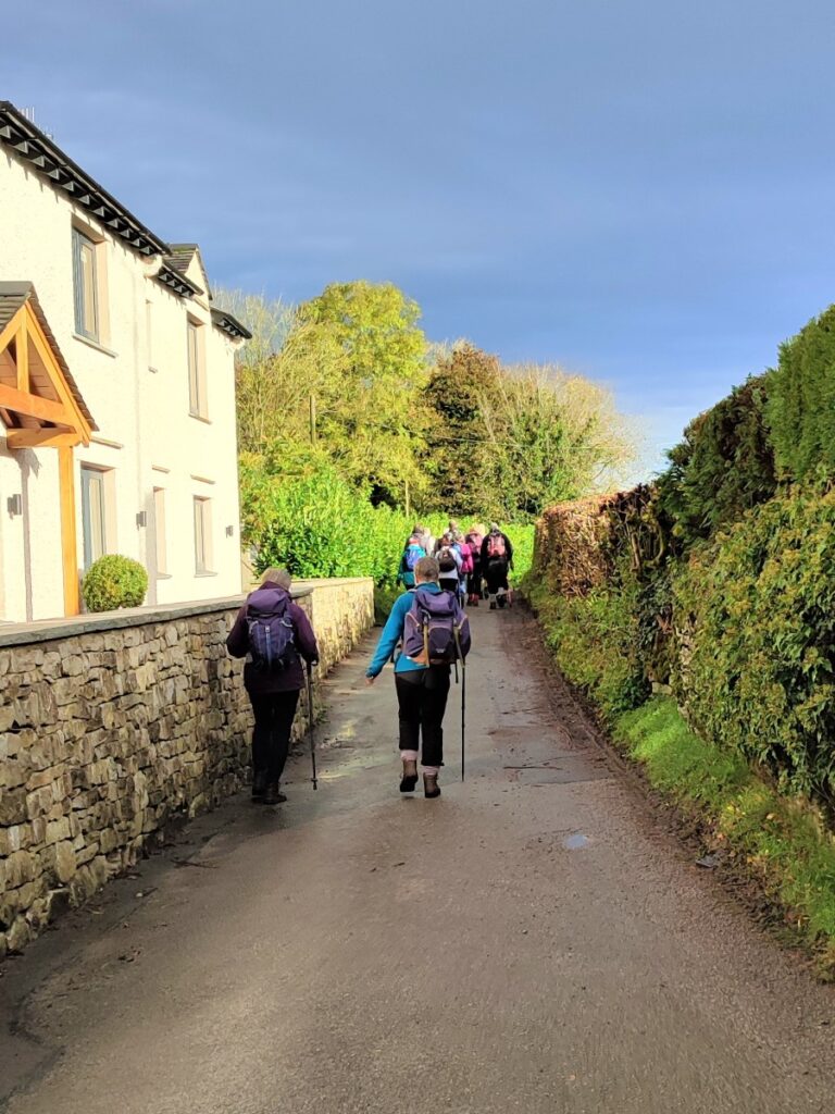
We start just a short distance from the A590, the main route from the M6 into the Southern Lakes. From the M6 take the A590 toward Kendal. Leave at the first exit (A590 to Levens) and take right at the roundabout – signposted Sedgwick. Ignore a small side road on the left and then park in a layby on the left before the road crosses the river Kent. If you are using Satnav then the name of this road is Nannypie Lane, Sedgwick, whilst the What-3-Words tag inserting.unusable.taken will pinpoint the layby, and the grid reference for the paper map is SD50698686.
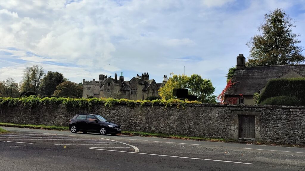
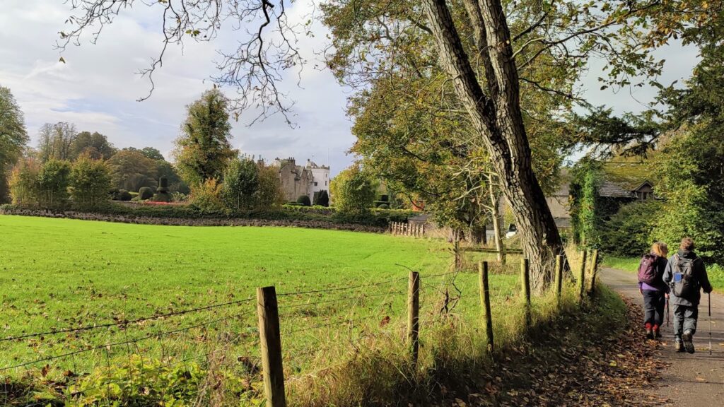
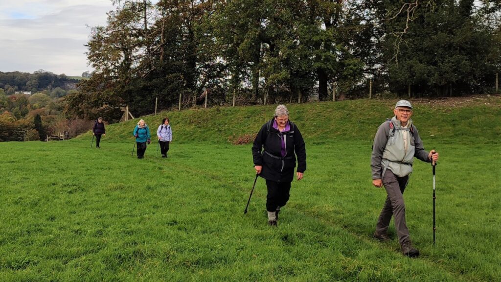
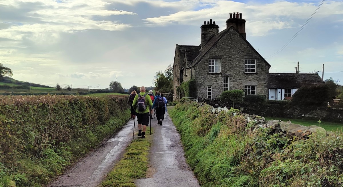
From the parking spot, we head toward the road bridge over the river and cross, enjoying views up and down the Kent as we do. As we cross the bridge, we note that the road goes sharp left and tracks up the side of the Kent. Before we take that route though, notice the ornate gates ahead that were once the main entrance to Sedgwick House.
This Gothic Revival style Grade II listed Country House, was built in 1868 for The Wakefield Family who owned the local Gunpowder works, by architects Paley and Austin, creators of many fine buildings that feature in BFG walks.
The family left the estate just before the second world war, and the house became a school for children with special needs until 1987. Since then, it has been redeveloped as a complex of upmarket apartments. Don’t worry if the house is not clearly visible at this stage – we get a closer look further round the walk.
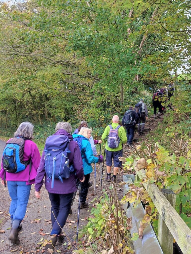
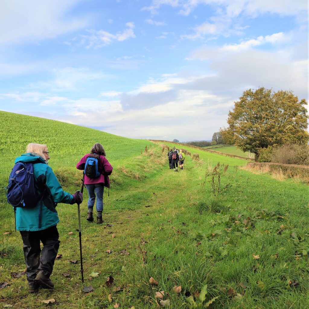
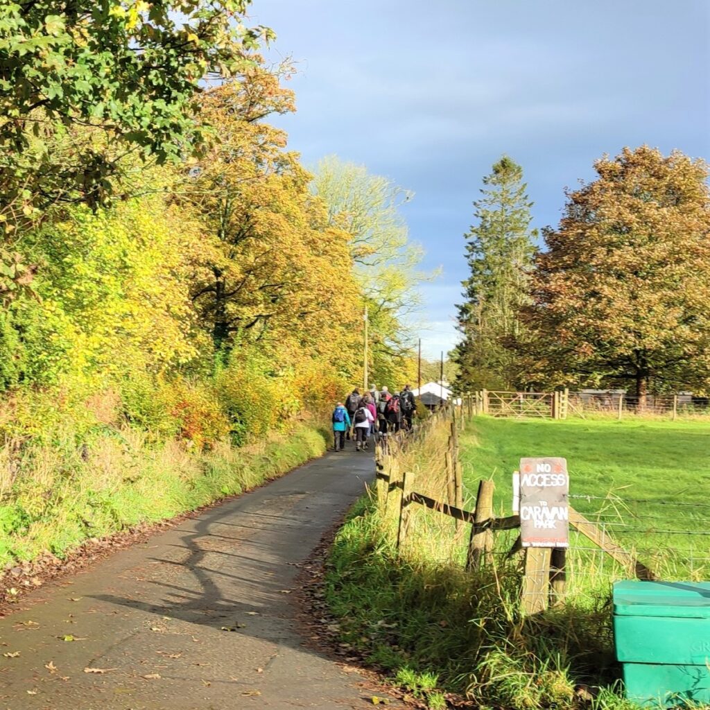
We follow the road for a short while looking for a sharp right turn which see the main road head away from the river. At this point we see a small track carrying on along the river side – so our direction remains unchanged – we are heading upstream on the right hand bank of the river.
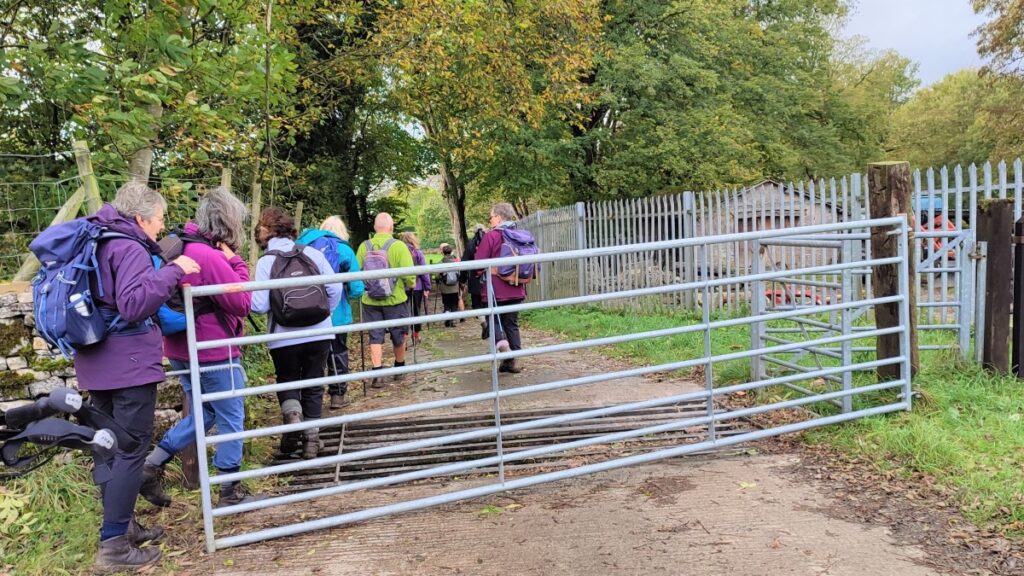
The track continues past a cottage on the left – with a weir just visible behind the cottage – and we continue until we meet a gate where a footpath and a bridleway continue.
We take the left hand option – the footpath, still following the riverbank – if the ground is boggy here, the bridleway is an option – it just takes slightly higher ground but both routes re-combine in a short while.
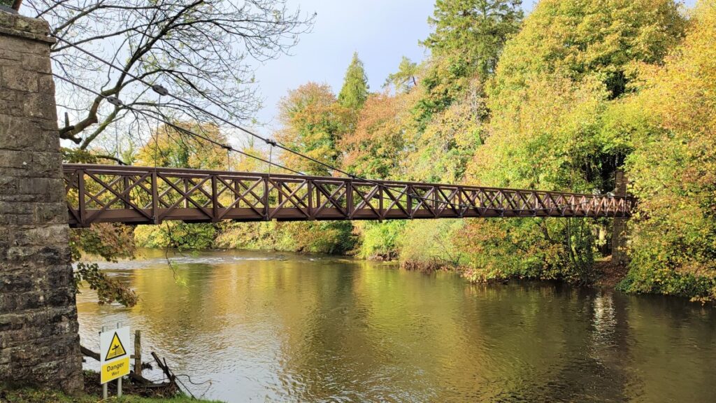
We are now in more open land, and we soon see a very attractive footbridge over the Kent. This is a public right of way and can be used to access Low Park woods on the opposite bank.
We stay on the right bank heading upstream along paths that remain clear, soon reaching a wooden gate at the end of a drystone wall taking us into riverside woodland.
This is the point where the footpath and the Bridleway recombine, so the route ahead at the edge of the woodland is easy to navigate.
Our next landmark is the point at which the footpath leaves the bridleway. Look for a marker post on the left hand side of the path, and at this point take the left branch – the bridleway goes right, and up to Larkrigg, where there are livery stables and a riding school.
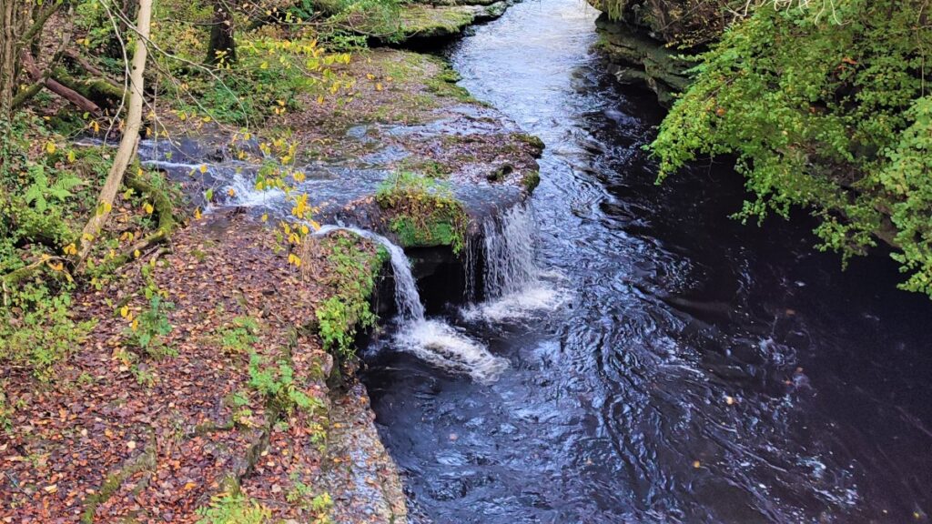
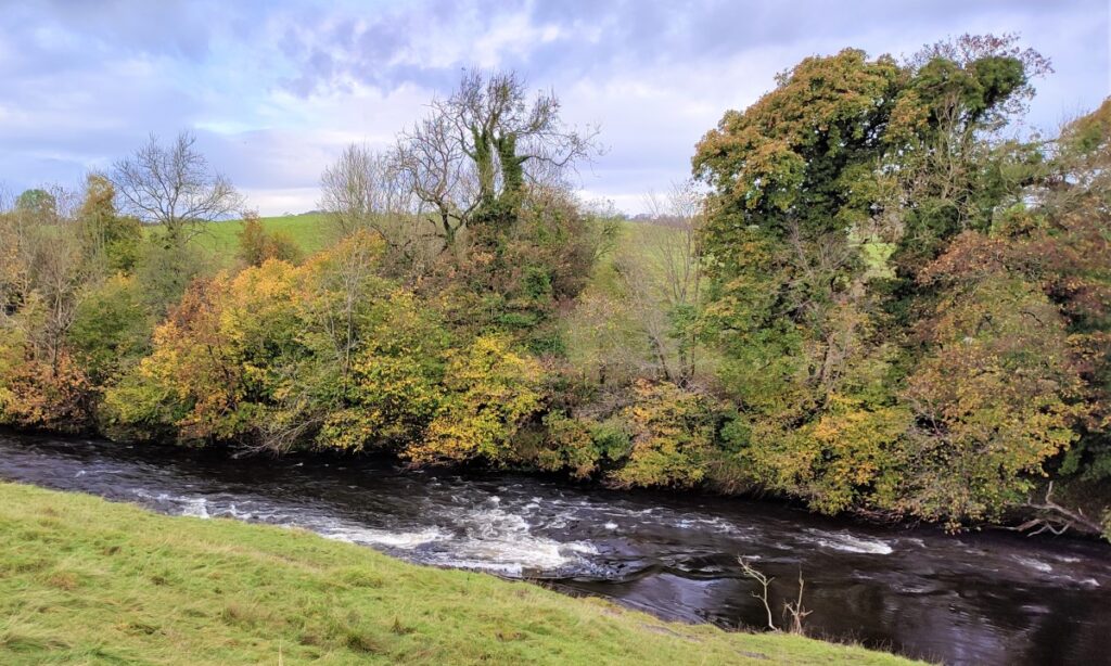
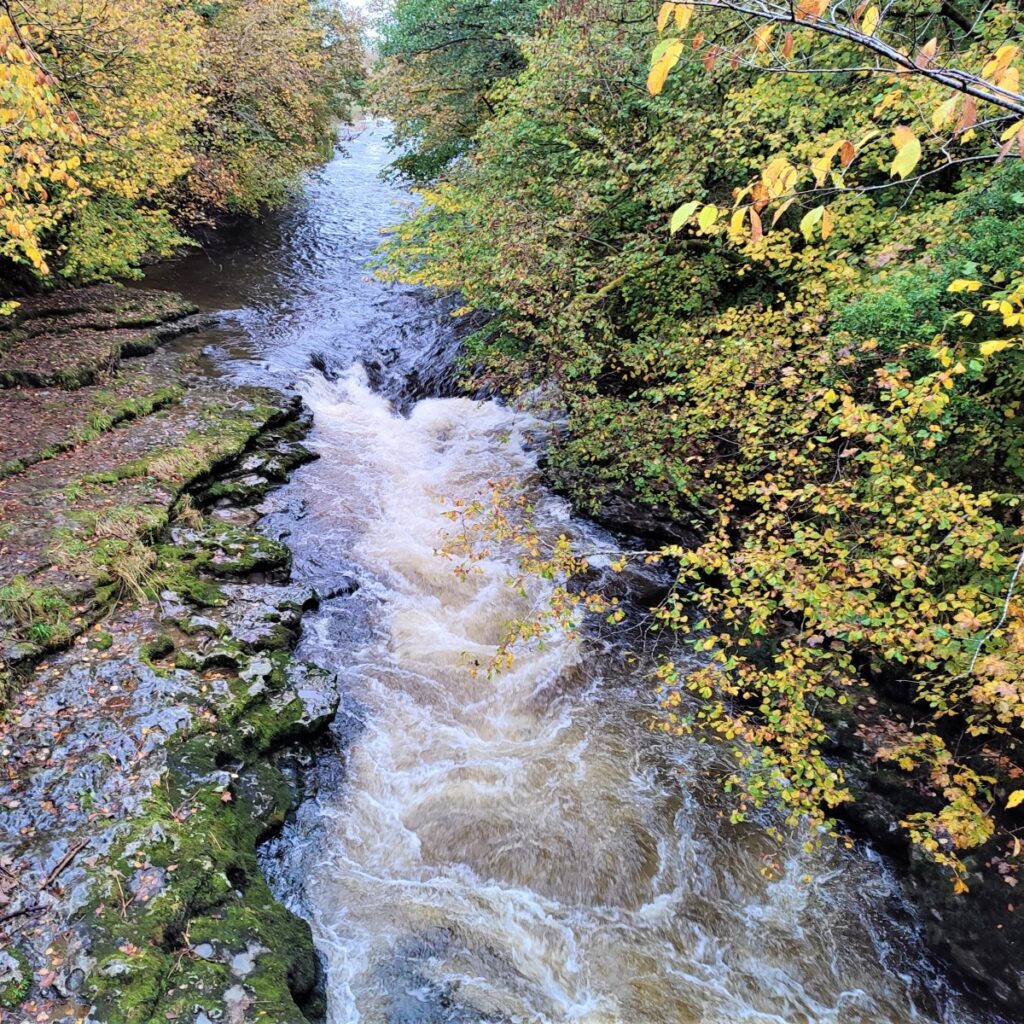
Our path continues though woodland at the edge of the Kent, with views of waterfalls in the river opening up every now and again – although leaf cover may mean that these are best appreciated on a midwinter day.
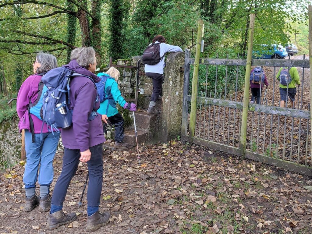
After a while, we arrive at a stile onto a minor road at a bridge over the Kent – this is Hawes Bridge. The bridge is from the 18th century, made from limestone, and when viewed from the riverside is stunning. There is a rather dark local legend though – apparently Sir Charles De Leyburn of Cunswick Hall, washed up there, after being murdered and thrown into river by his son who wanted to come into his inheritance so he could marry, the legend then goes on to explain that once the body of his father washed up, his son, Roger committed suicide and now haunts Cunswick Scar.
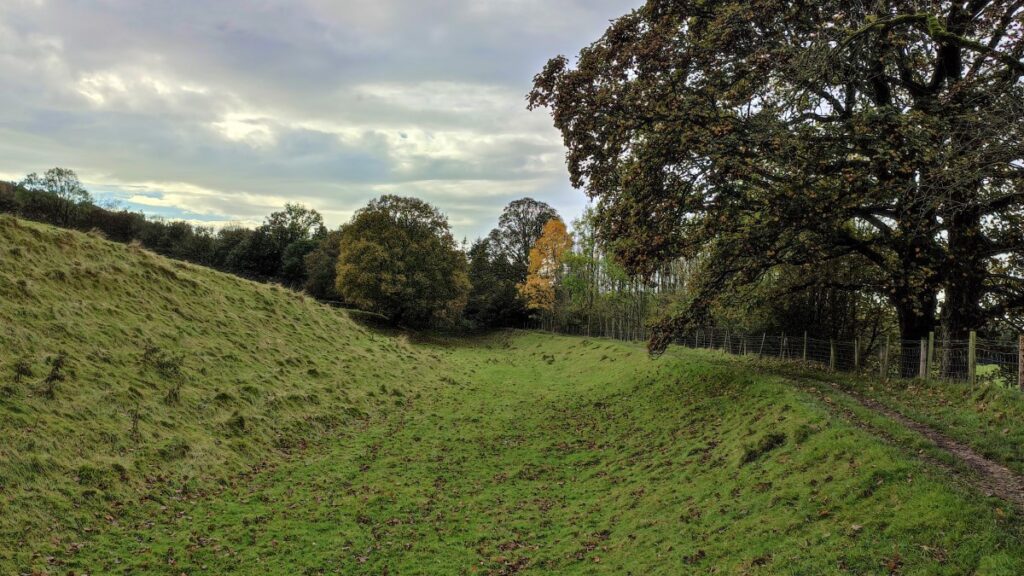
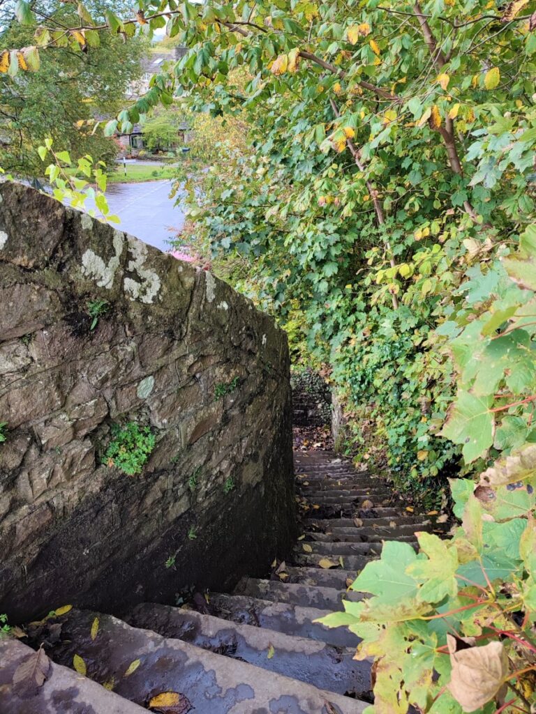
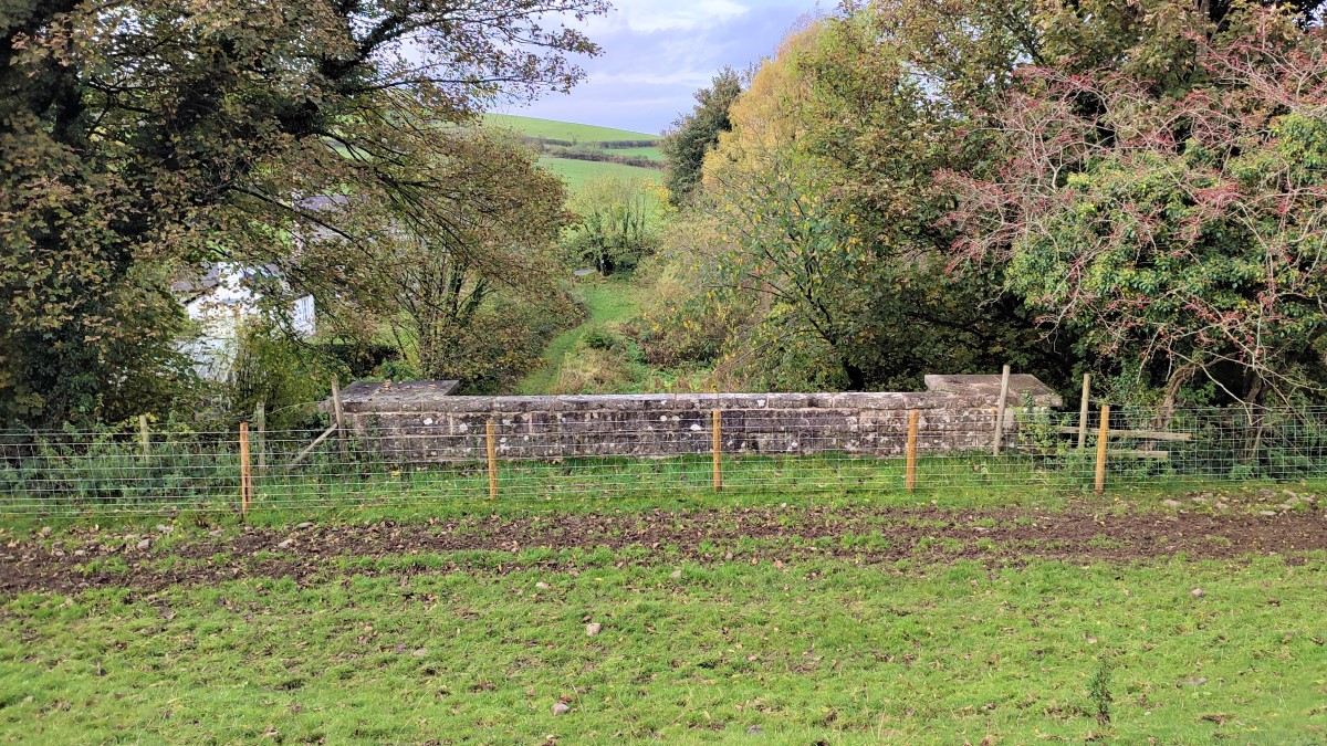
Having taken a good look at the bridge, we go right following the road uphill and way from the river. The road loops round to the right and continues uphill until we find a steel kissing gate on the left giving access to a curious embankment – which initially looks like an old railway bed.
In fact, this is the towpath of the de-watered section of the Lancaster Canal, and we now follow the line of the canal south toward Sedgwick.
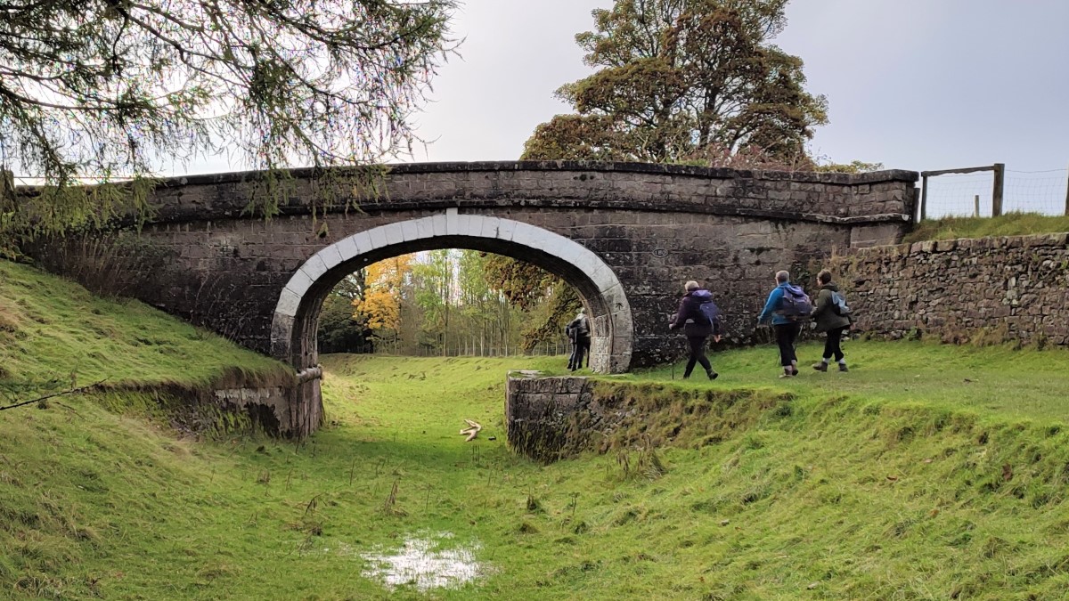
Any doubt that the route could once have been a canal disappears when we get to bridge 180 – Larkrigg Hall bridge. This once took the access track for Larkrigg Hall over the canal.
We follow the line of the canal for a while now – the canal soon enters a wooded area known as Larkrigg Spring, and we find that the growth of birch saplings may make the canal less apparent, until we emerge on the far side of the woodland onto open land where although the line of the canal is still apparent, the waterway has been backfilled to create more usable agricultural land.
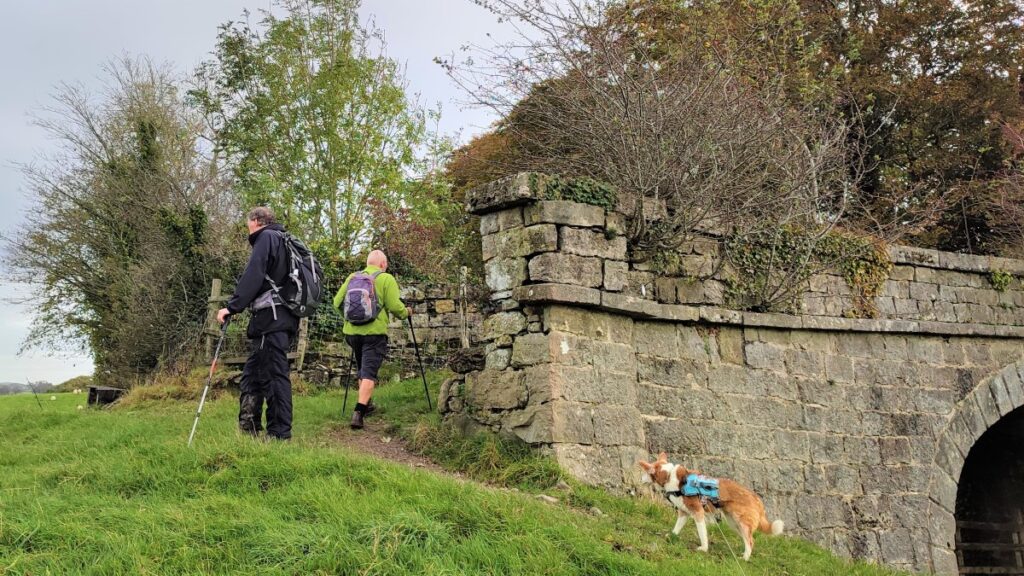
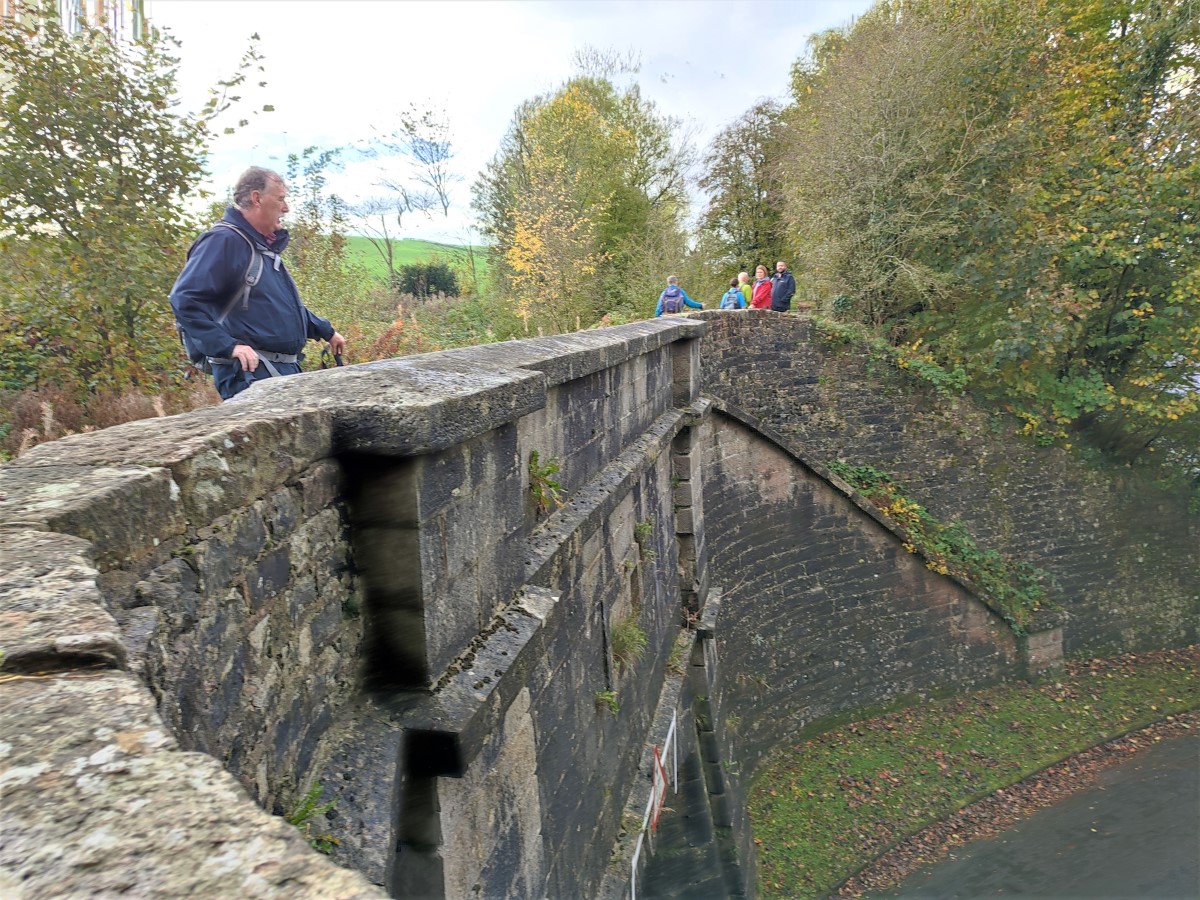
We now have Sedgwick ahead of us, and we soon find the rather fine Sedgwick Aqueduct – the bridge that once carried the canal over the main road through Sedgwick.
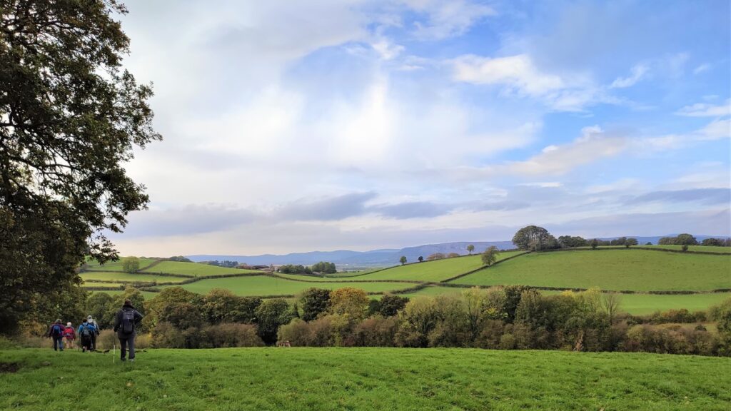
We stay with the canal for a little longer – and soon see another isolated bridge (177) which once carried a road over the working canal. This is bridge marks the end of our time on the towpath (for now), and we note that from here we have good views down to Sedgwick house. At this point we could choose to shorten the walk significantly by taking the clearly visible footpath back down to the ornate gates we noted at the start.
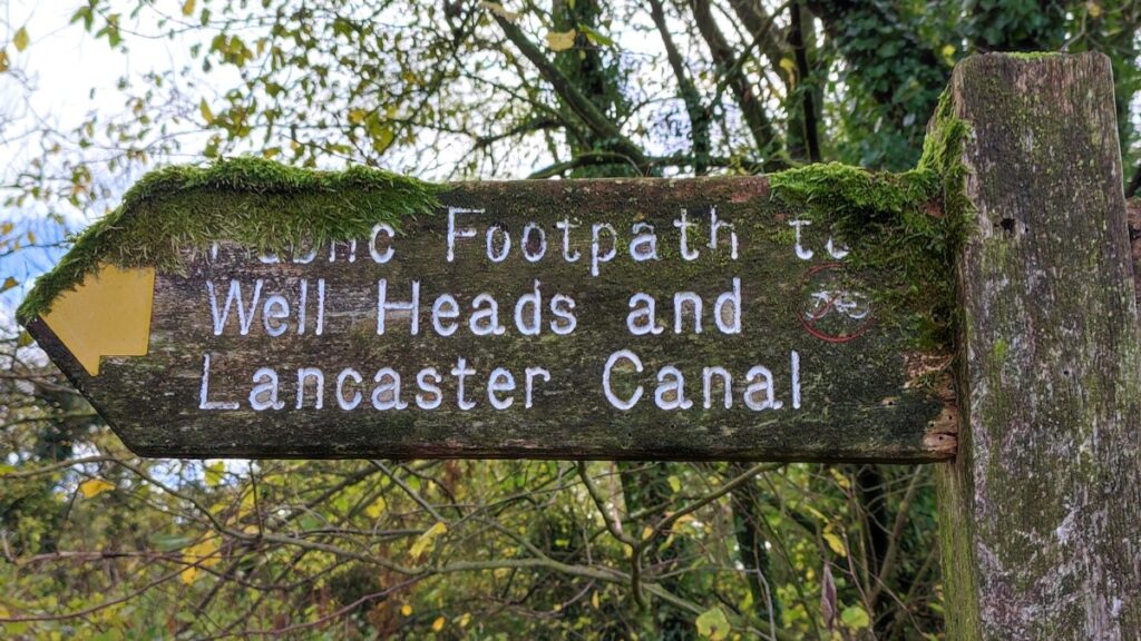
If we are continuing – and we should because there’s still a lot worth seeing – we cross the bridge and continue along a footpath uphill though farmland to find Well Heads Lane.
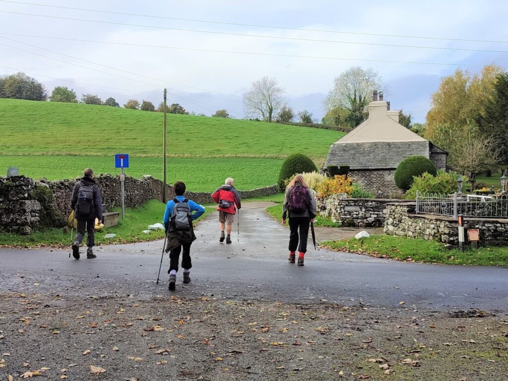
We turn right onto this minor road and walk along the road for a little while – traffic will not a be a problem. Look out for the 17th century farmhouse on the right, and don’t be surprised if a train whistles by at high speed on the West coast main line just over to the left.
Follow Well Heads Lane until we see a footpath signed on the right – this is just before the road passes under the railway.
From here the path heads uphill toward a stile and then stays close to the field boundary as we crest the hill with another stile ahead of us. After the second stile we turn left and stay close to the hedge tracking it down to a bridge over the A590.
We cross the bridge and then take a sharp right to find a stile into a further field – where we turn left and head uphill along the line of the hedge.
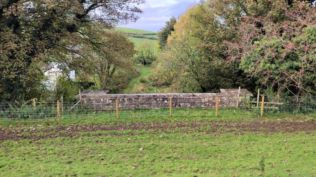
We are now walking over Tunnel Hill – the name indicating that a canal tunnel passed under here, specifically so that the canal could serve the Gunpowder works. The tunnel is 378 yards (346 m) long. The tunnel’s entrances, the east and west portals, are faced with limestone and are Grade II listed, and the tunnel itself is lined with something like four million bricks. There is no towpath through the tunnel, so when the canal was in use, horses were led over the hill via a horse path which is also a scheduled monument.
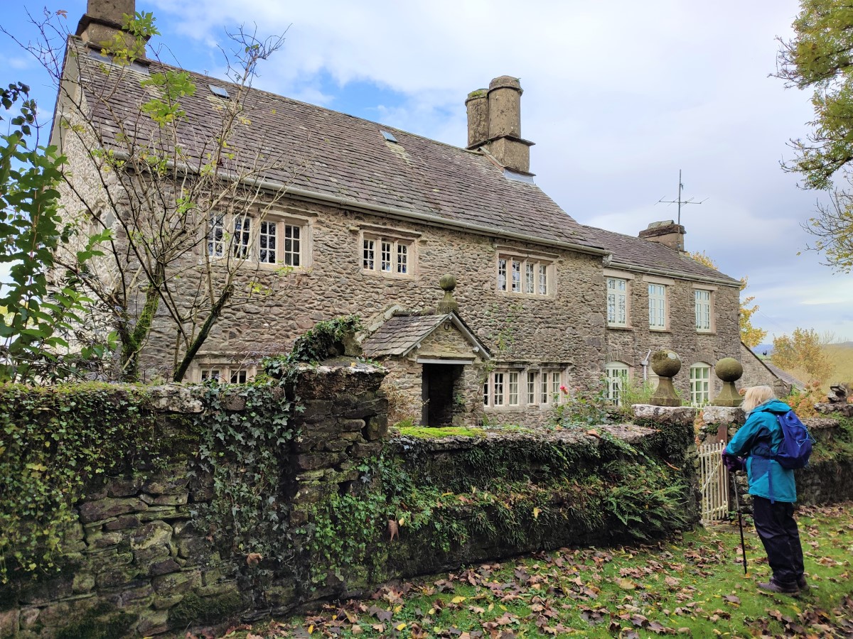
The footpath passes over the top of the Western Portal, to arrive at the junction of a lane (the horse path) and a minor road – you could take a short diversion right down the road to view the portal properly, and then come back to continue the walk on the lane opposite past a farmhouse with a spectacular monkey puzzle tree, and then on to Hincaster Hall – a very impressive 16th century farmhouse with significant 18th century extensions.
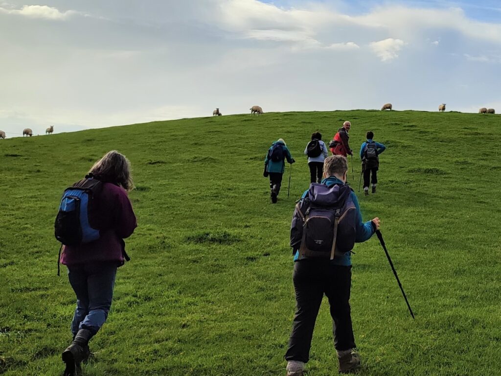
Beyond the Hall, the track veers right to arrive at a gate giving us access to a field where the track continues round and gently uphill.
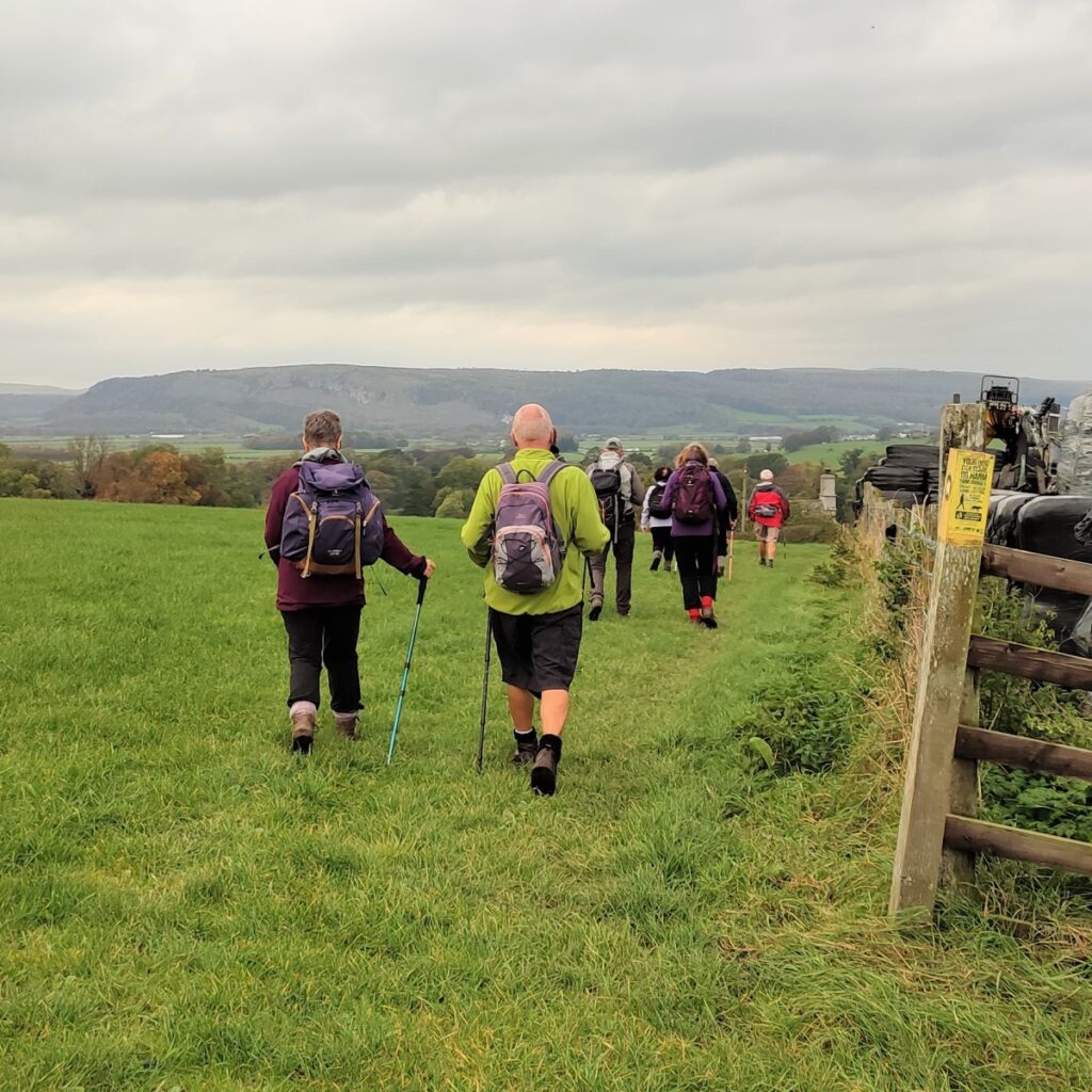
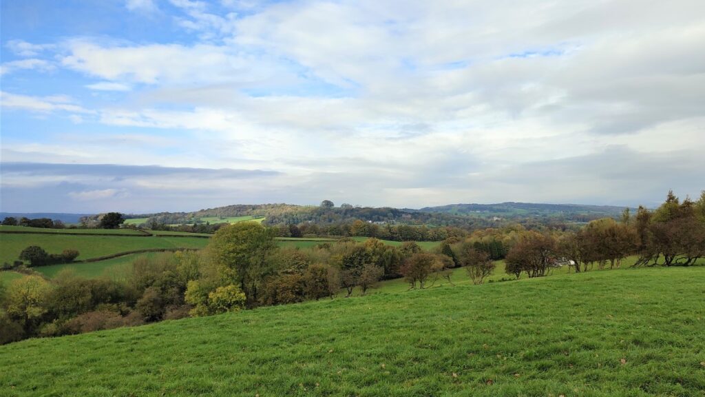
As we skirt the crest of the hill, we see a farm come into view – this is High Barns, and ahead us we now have a good view over the Kent Estuary and Foulshaw Moss.
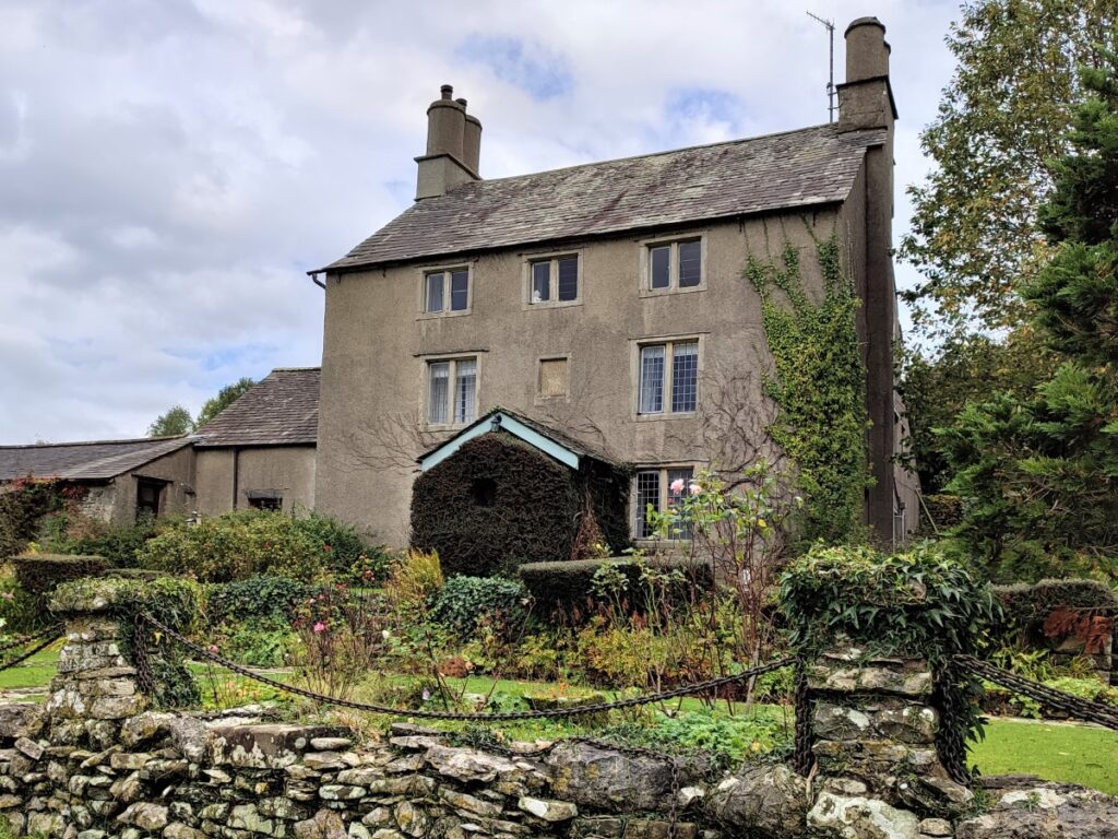
The path approaches the farm and then passes to the left of the barn to arrive at a stone stile onto a lane just by the farmhouse. We take the access lane to the farm downhill toward Levens Hall which is now clearly visible. We eventually arrive at a gate and cattle grid, before taking the last part of the track down to the A6.
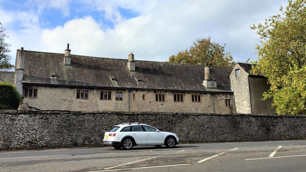
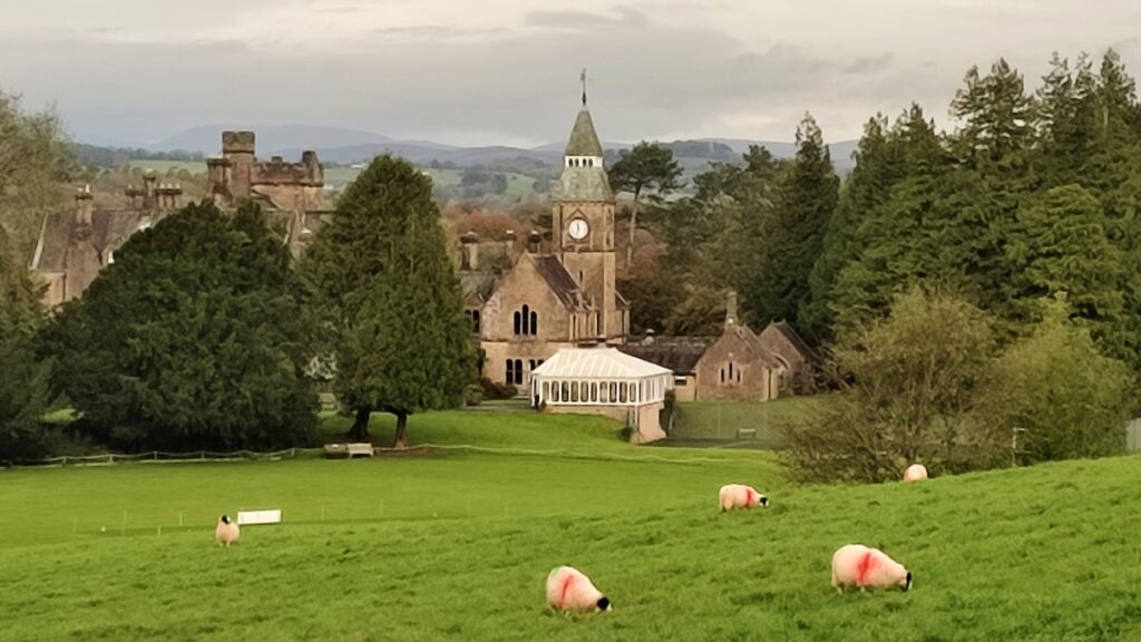
We are now standing directly in front of Levens hall. The walk does not take us into the hall or gardens, but it’s well worth making time to return and explore at another time.
The first house on the site was a pele tower built by the Redman family in around 1350. Much of the present building dates from the Elizabethan era, when the Bellingham family extended the house. The Bellinghams, who were responsible for the fine panelling and plasterwork in the main rooms, sold the house and estate in 1689 to Colonel James Graham, Keeper of the Privy Purse to King James II, who made a number of additions to the house in the late 17th century.
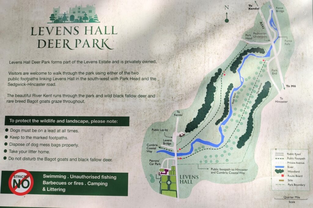
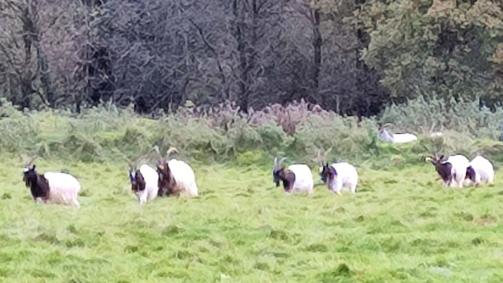
Levens Hall is now owned by the Bagot family and is open to the public. The small collection of steam road vehicles includes several traction engines which are usually steamed on Sundays and Bank Holidays. Levens has a celebrated and large topiary garden, which was first created by the French gardener Guillaume Beaumont, the gardener of King James II and the designer of the grounds at Hampton Court. Beaumont also planned the tree planting in the deer park, now inhabited by black fallow deer and Bagot goats.
It is to the deer park that we head next: We go right along the A6 for a few metres until we see a stile just before the road bridge over the Kent, where we take a path which follows the right bank of the Kent upstream through well managed and extremely well established trees.
Black fallow deer and Bagot goats range freely in the park, and because of their unusual habitat are quite used to humans, so you may get reasonably close if you are patient.
We follow the path all the way through the woodland until we arrive at a stile onto a minor road at the north of the parkland. We turn left at the road and see a bridge over the busy A590 with a footpath going up onto the hills just after the bridge.
Once we have taken that footpath, the ground levels out and we again find ourselves on the old course of the canal – now just south of Bridge 177 where we headed over to Well Heads Lane a short while ago. From the bridge, we see a clear path on the left which heads downhill to a gate in the fence where we cross a minor road to continue onward down to the bridge where our walk started.
- Total distance 12.8 km (8.0 miles)
- Total ascent 322m
- Moderate walk