Jump to . . .Step by Step | OS Map | Downloads | Gallery | Fly through
Several Bentham Footpath Group walks start in or pass through Barbon – a reflection of the fact that this pretty village is accessible, and a good base for walks up onto the surrounding fells.
This one explores Barbon Low Fell: We start at the Community Hall in Barbon, and then take the riverside path through Barbon Park until we find the footbridge over Barbon Beck.
From there we take the Footpath up toward Bull Beck, but before we get that far we strike out over access land to Hoggs Hills where we enjoy great coastal views.
Finally, we head down to Fell Garth, and strike out North through fields back to Barbon.
- Total distance 11.2 km (7.6 miles)
- Total Ascent 553 m
- Moderate walk
Step-by-Step
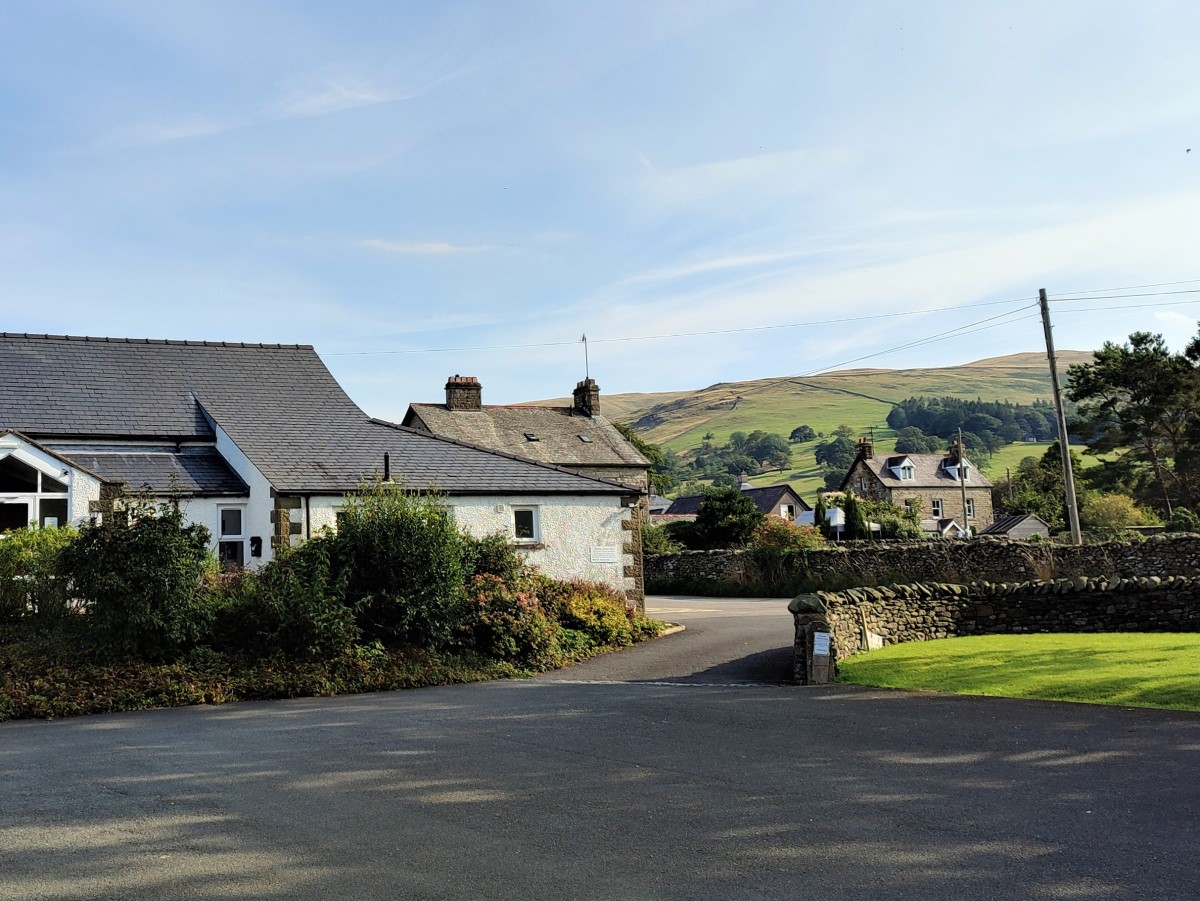
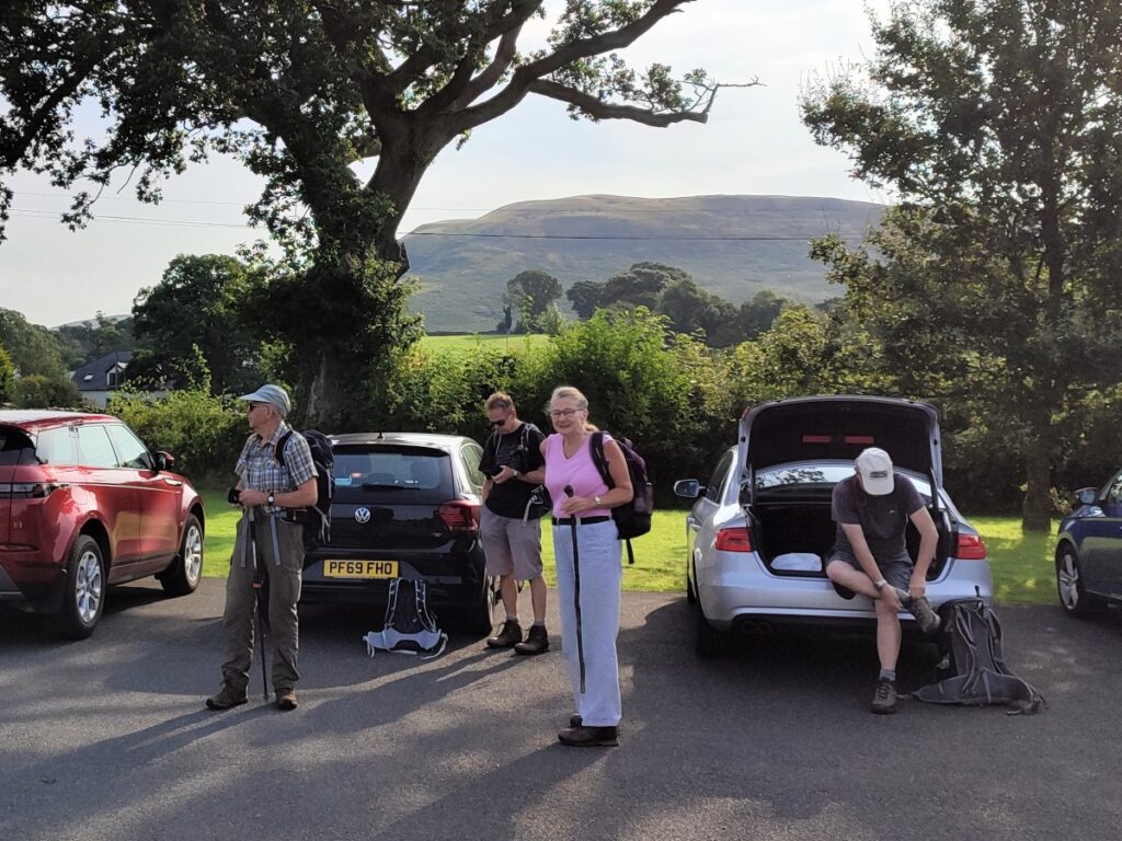
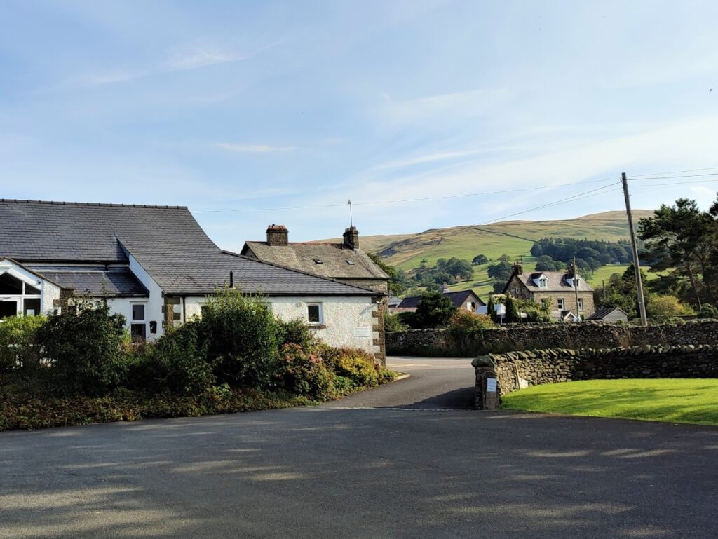
Barbon Village is just off the A683 between Kirkby Lonsdale and Sedbergh. There is on-street parking available in a number of places in the village, but it’s more considerate to the community to park in the Village Hall car park and make a donation at the honesty box.
Sat Nav Users can use postcode LA6 2LL, whilst users of paper maps should look for grid reference SD62788228. If you prefer What-3-Words, then the car park is at devalued.scorched.clips.
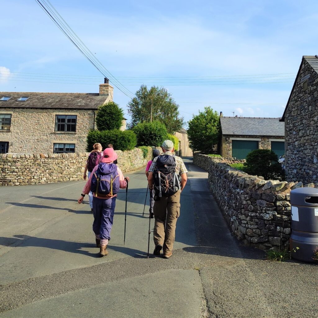
Having made your donation for parking, turn left out of the car park and head toward the centre of the village, with the Churchmouse as the first landmark on your right: The Churchmouse at Barbon is a village store, cafe and delicatessen all rolled in to one – it’s popular with both locals and visitors.
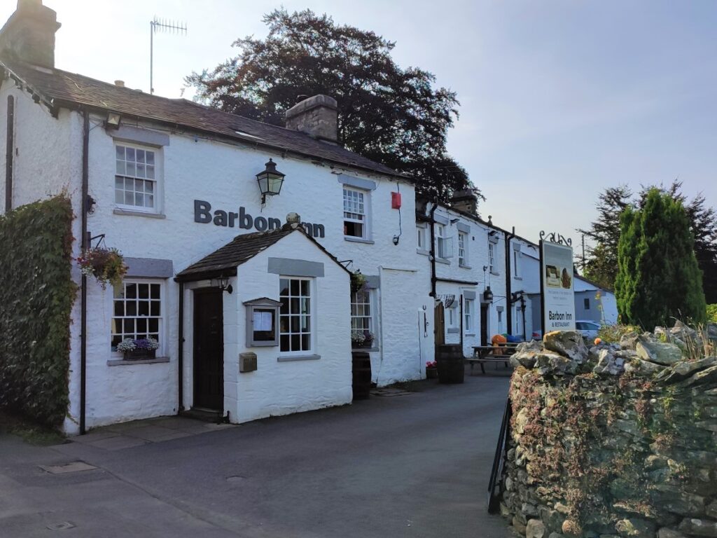
We then walk to the end of the main street to arrive at the war memorial where we turn right to pass the Barbon Inn on the right as we head up toward the church of St Bartholomew.
Before we get that far though we notice the relatively new housing on the right at Barnrigg. This was the location of Barbon Railway station which served the Ingleton Branch of the North Western Railway.
The line opened in 1860, and ran from Clapham, through Ingleton, Kirkby Lonsdale, Barbon, Middleton-on-Lune, Sedbergh and Lowgill, before joining what is now the West Coast main line, just south of Tebay.
Passenger services ceased on 30th January 1954 – so prior to the “Beeching cuts” – and the line finally closed in 1967. There are signs of the route visible in many places up and down the Lune Valley, including the listed viaducts at Lowgill, Waterside (Sedbergh) and Ingleton.
This archive picture shows Barbon station just prior to closure:
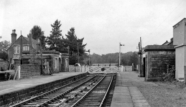
By Ben Brooksbank, CC BY-SA 2.0, https://commons.wikimedia.org/w/index.php?curid=12763553
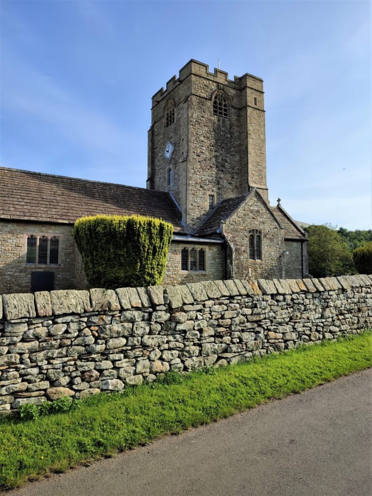
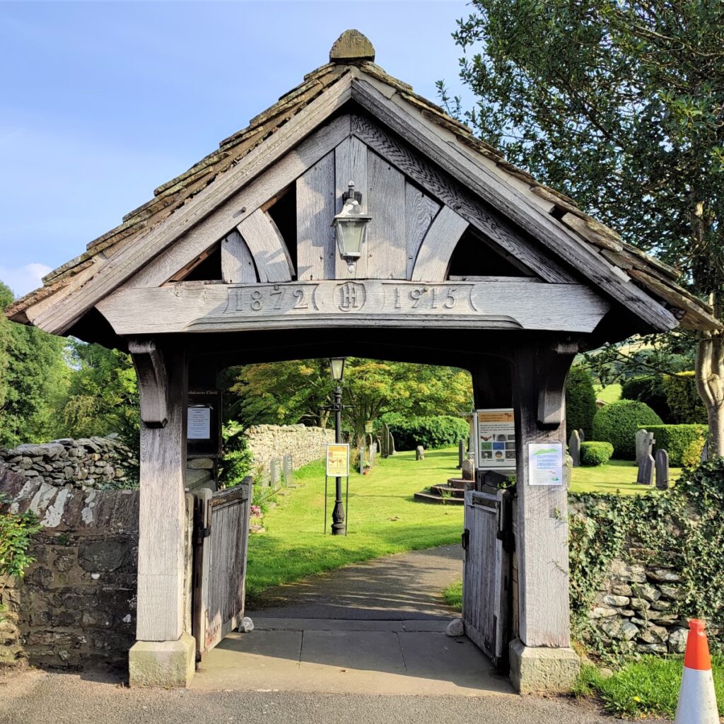
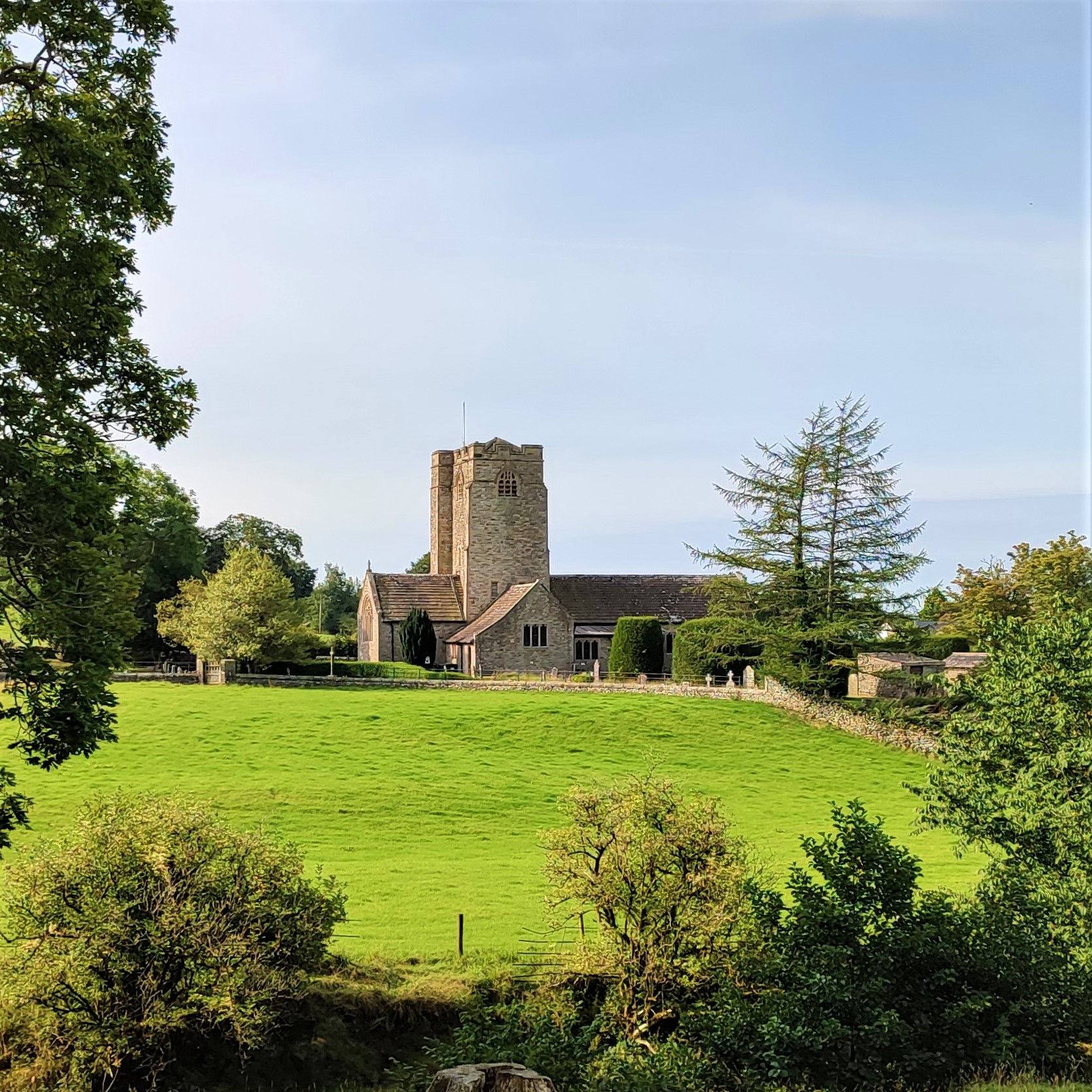
We continue up the St Bartholomew’s, where we admire the lychgate and the simple but very attractive church:

It is thought that there was a “chapel of ease” in Barbon as early as 1610. A chapel of ease is a church building other than the parish church, built within the bounds of a parish for the attendance of those who cannot reach the parish church conveniently.
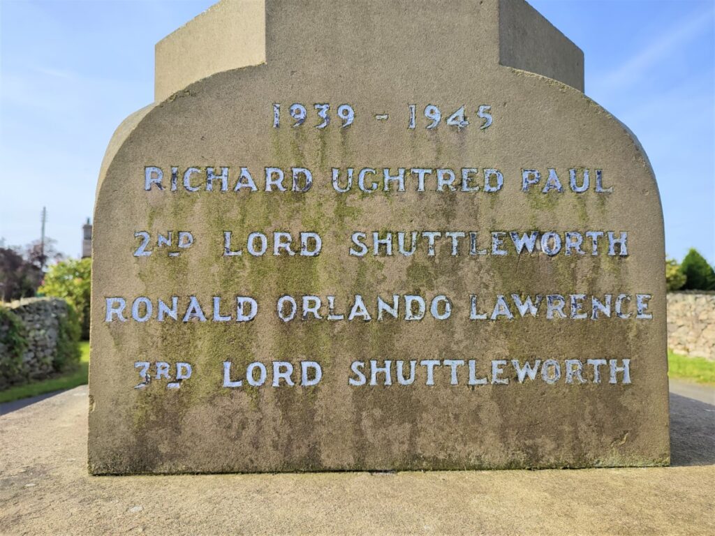
The new church was built in 1815, but must have been very short lived, as the Paley and Austin designed church, we see today replaced this one in 1893. The new church was built to accommodate the growing population of Barbon and the surrounding rural area.
Lady Shuttleworth laid the foundation stone of the current church in 1892, and also gave the stained glass window at the West end of the church to the parish. The building works cost the princely sum of £3500, with the building consecrated on the 9th of September 1898.
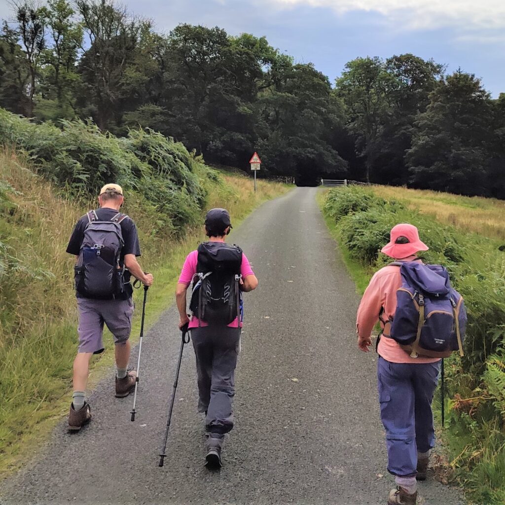
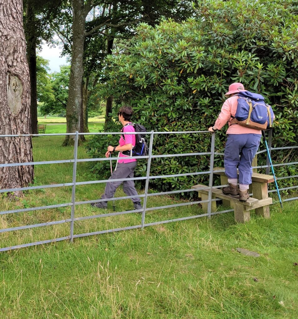
Just beyond the church we take a lane on the left and head into the Barbon Estate, initially on a track that leads to a bridge over Barbon Beck. Once over the beck, the track loops round to the left and then back right to meet a wider road that comes up from Oak Tree farm. We follow the metalled road round for a while now, and notice that the corner at Pencil Brow has heavy Armco barriers in place, this looks incongruous, but is there because this road is used for the Barbon hill climb – cars climb the hill in a race against the clock with the record set at an average speed of 90.7 mph.
Click HERE to see footage of this event.
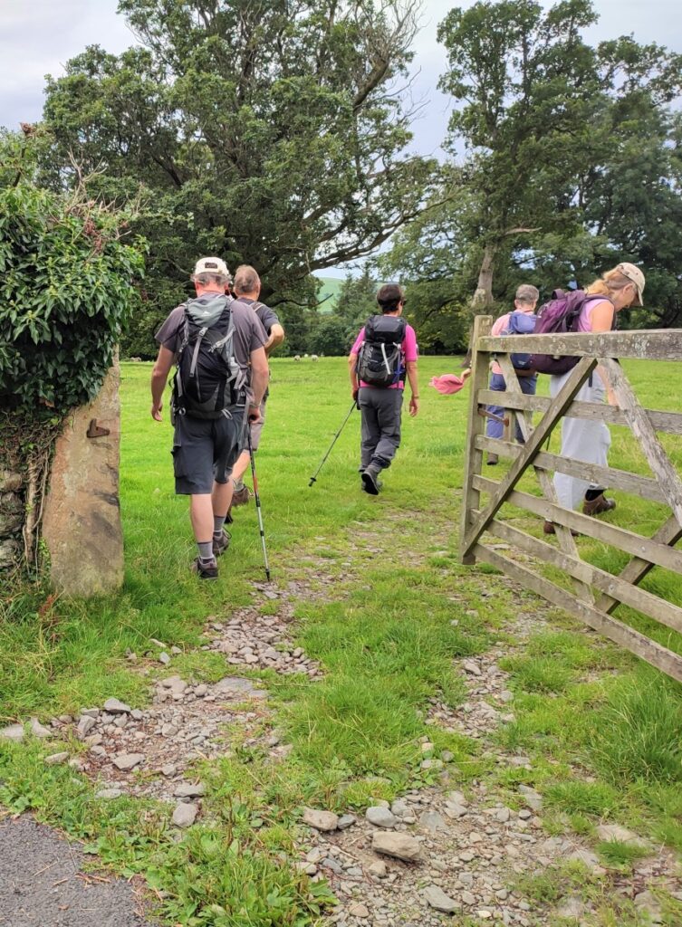
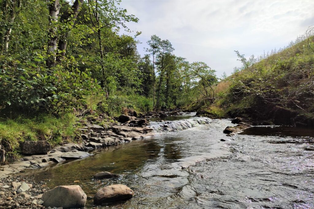
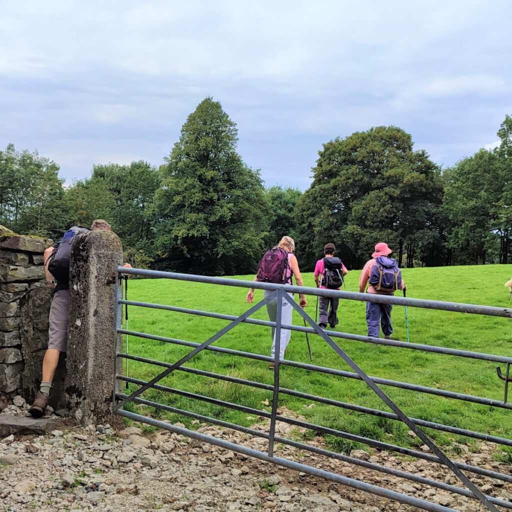
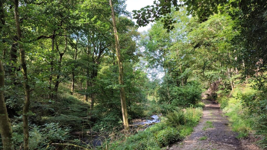
As we progress up the road, keep an eye open for a footpath way marker on the left highlighting a gate where we take a rougher track along the riverbank. This has benefitted from some forestry works over recent years and is now well surfaced and a great way to access the Low Fell.
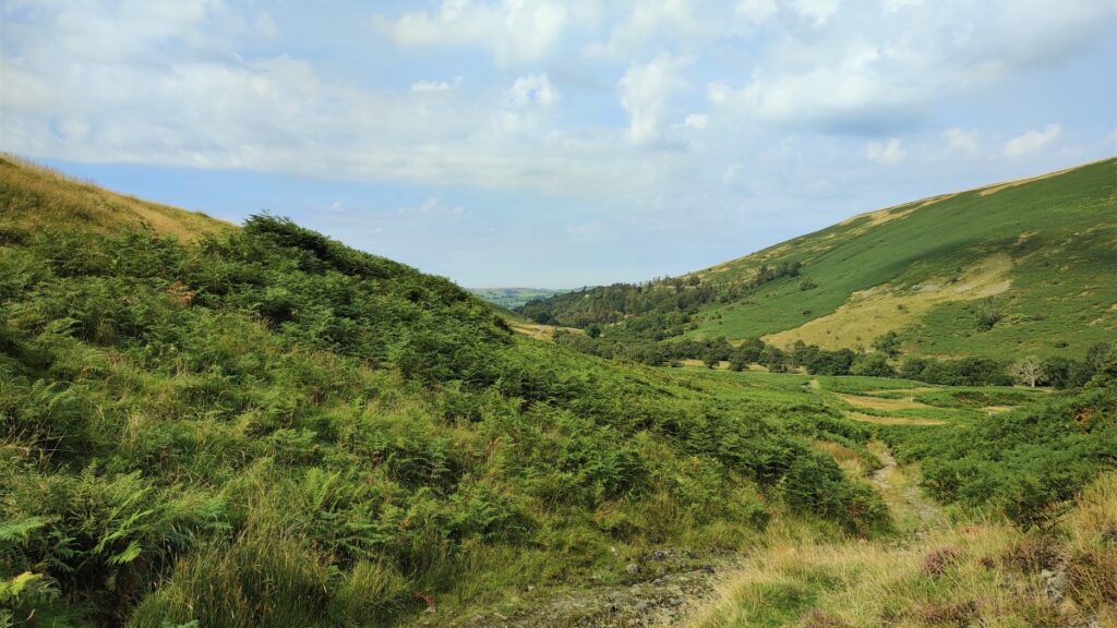
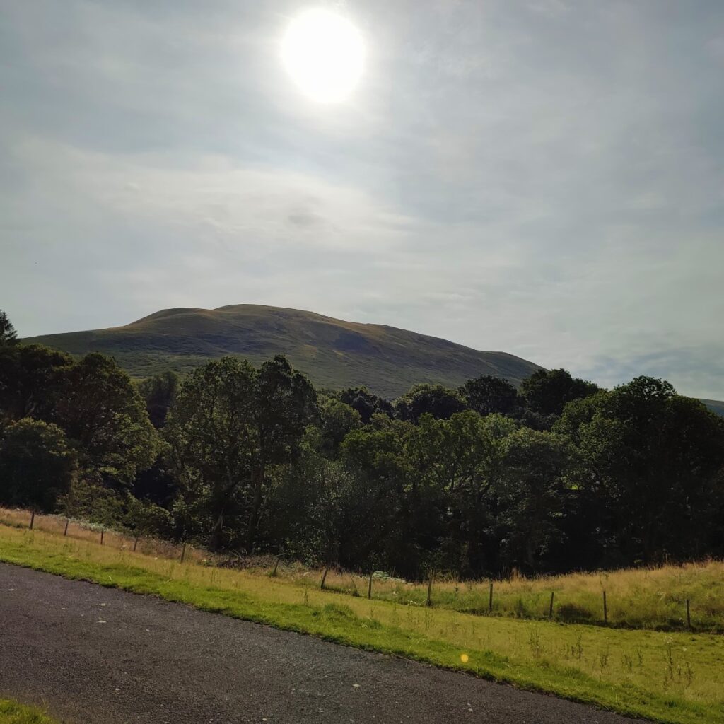
We head along the riverside path for a while now – within pleasant woodland passing a stone bridge on the right (a private road) before entering a more open landscape with the steep slope of Castle Knott looming over us on the left.
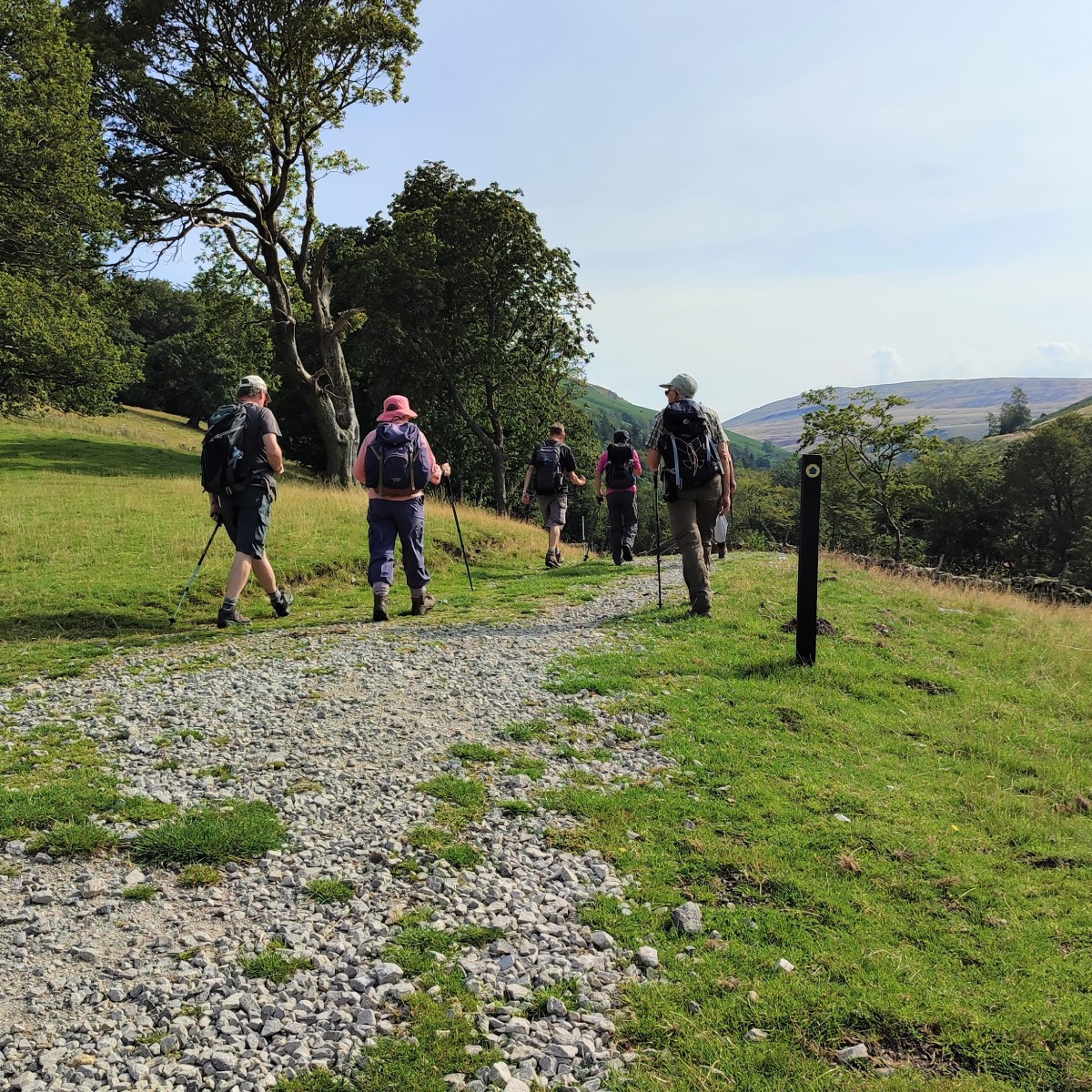
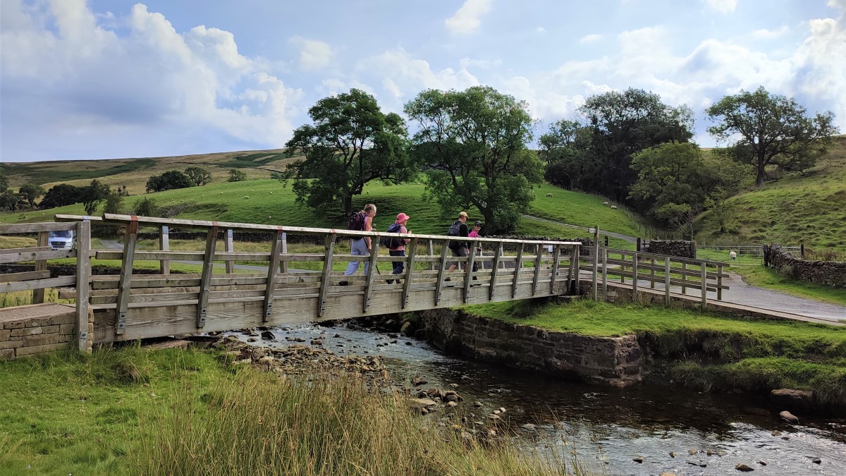
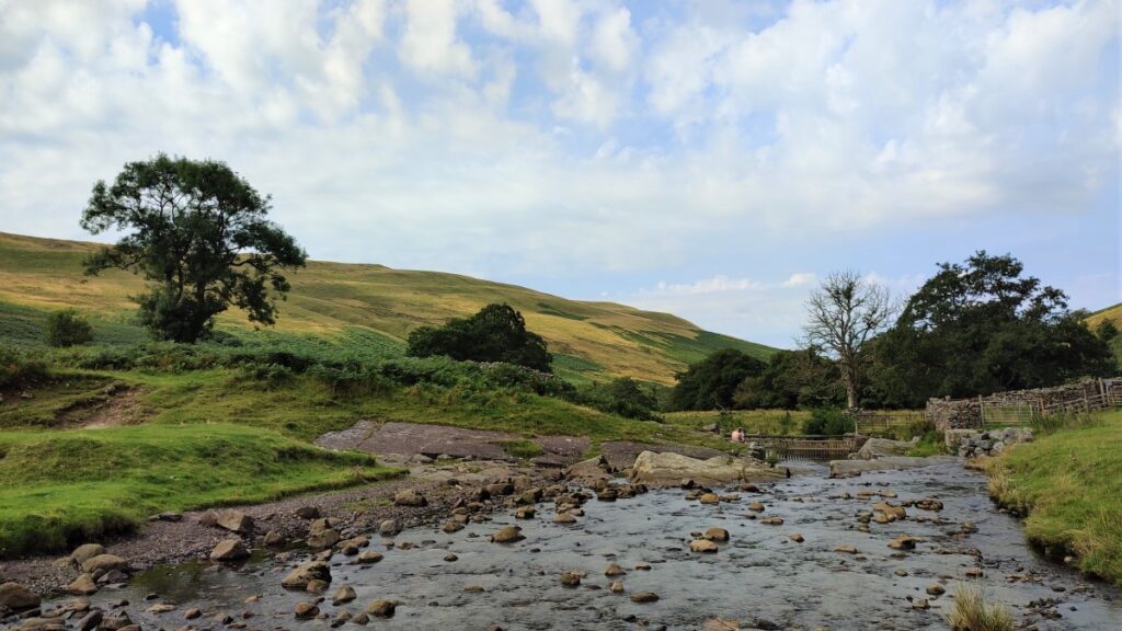
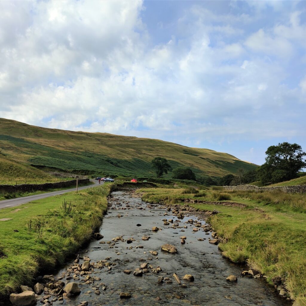
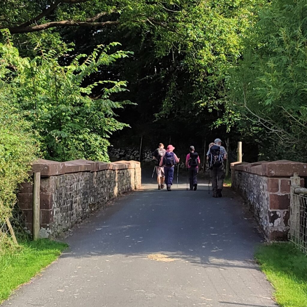
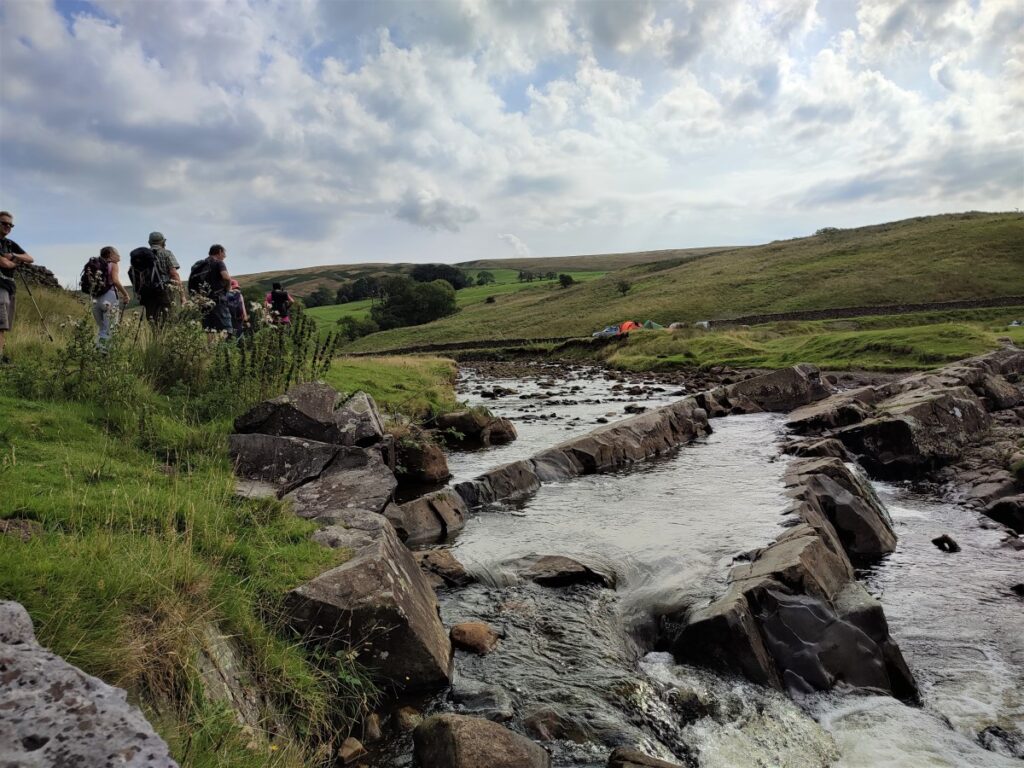
As we progress further upstream, the path comes close to the river, and we see a recently installed footbridge ahead of us. The riverbank here is attractive, and well provisioned with places to sit, so this is a good opportunity to take a break before we start the climb up Barbon Low Fell.
The current footbridge replaces one destroyed by Storm Desmond in 2015.
Curiously from here upward the river is called Barkin beck.
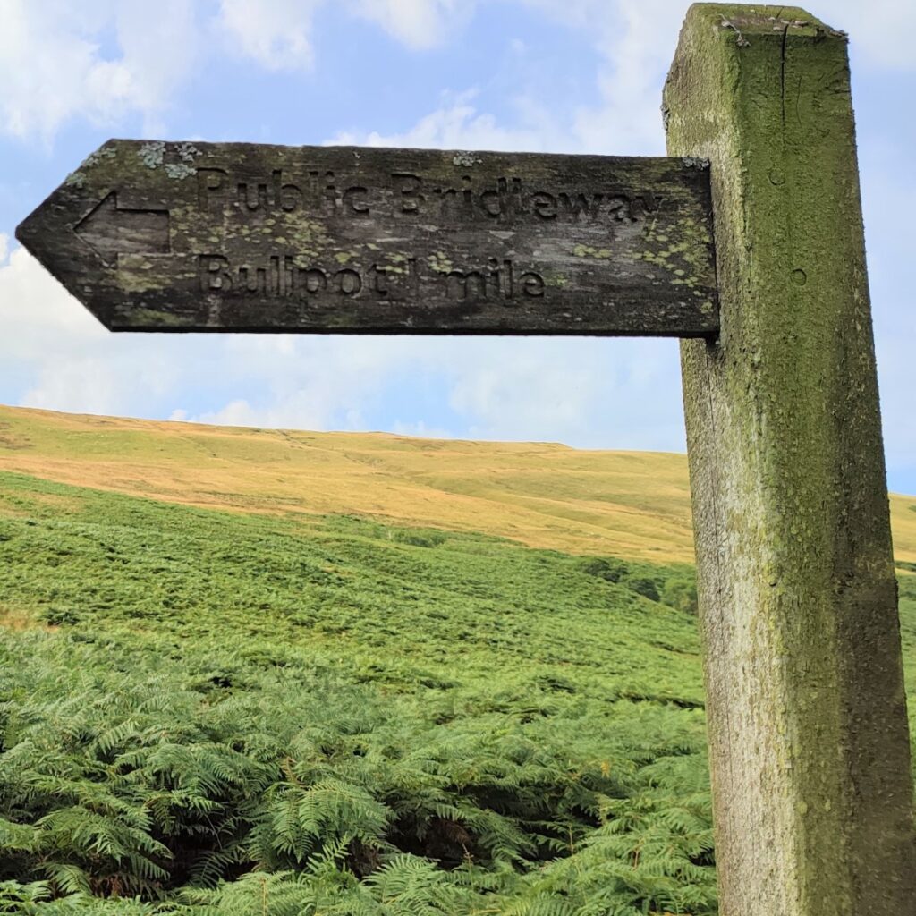
We cross the bridge and then head right along the road for a short while, noting information boards at the far end of the crossing. The road curves round to the left and climbs gently to arrive at Blindbeck Bridge – an old stone road bridge. Here we need to look out for a fingerpost highlighting the bridleway on the left up to Bull Pot.
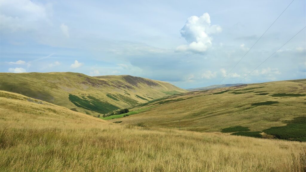
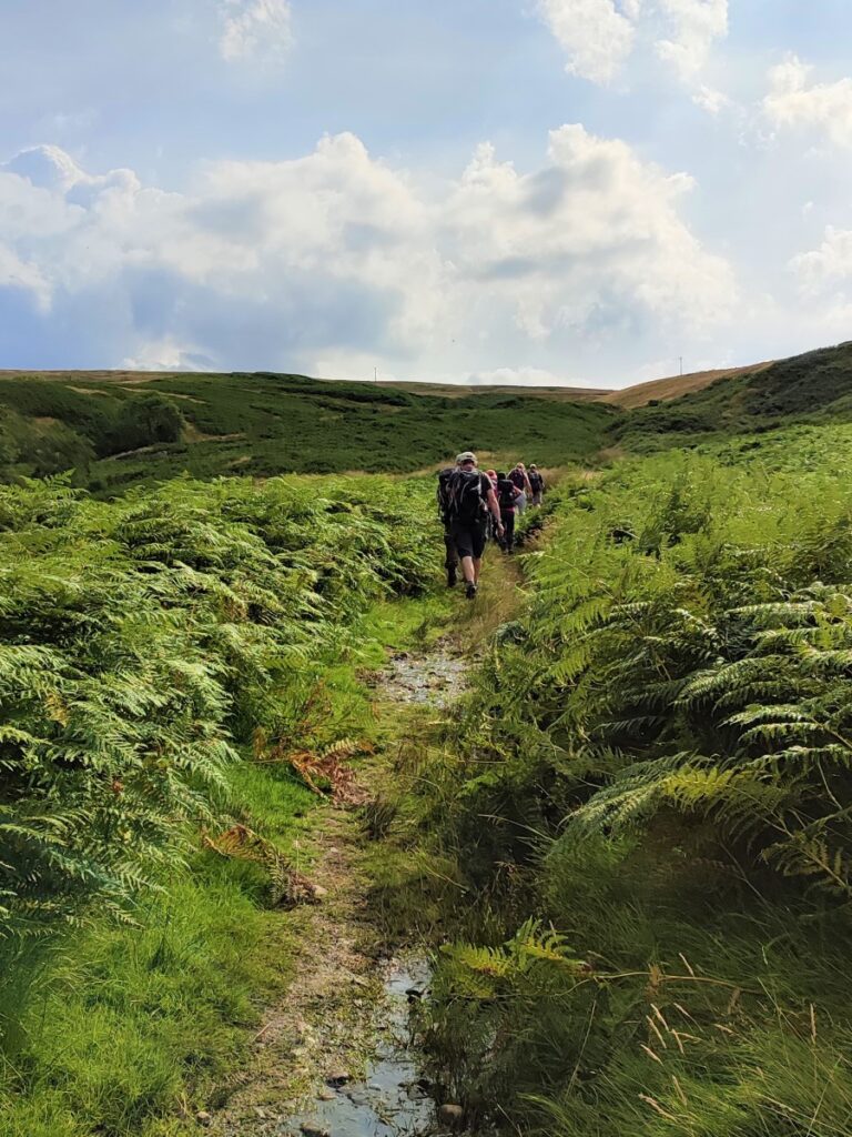
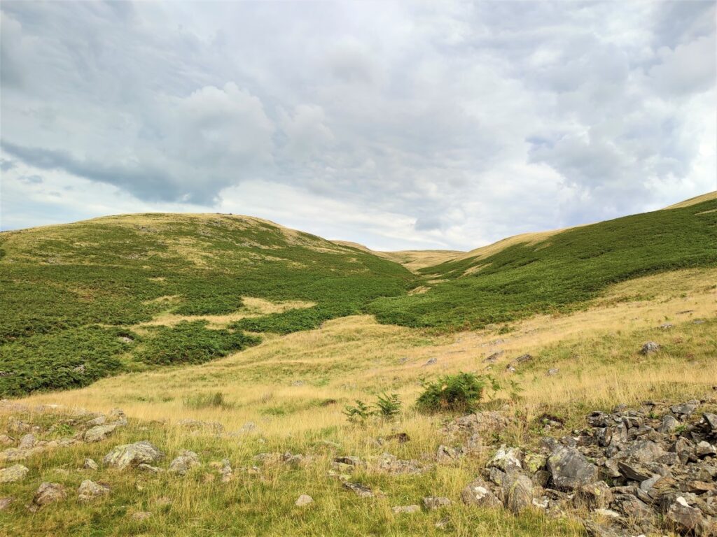
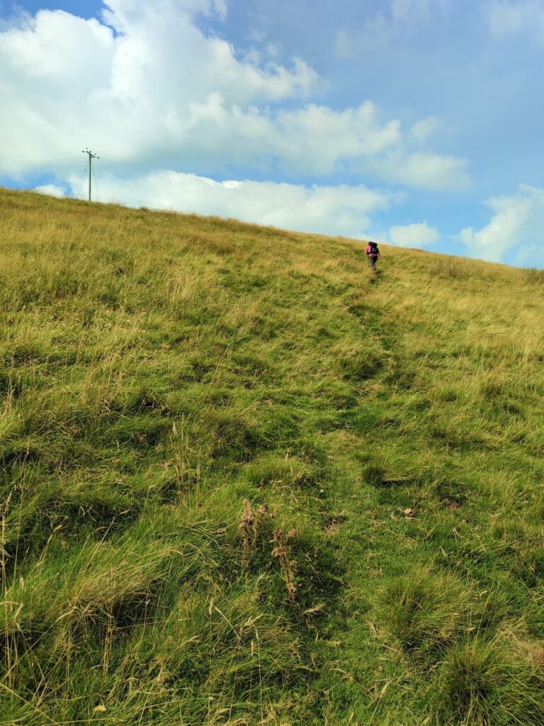
This takes us up a steep and stony path through thick bracken. As we look left, we have Barbon High Fell on our left, and in the foreground a small waterfall no more than 20m from the path. The path zig zags a little as we climb, but the overall direction is South East, and the path remains clear – though rocky, throughout.
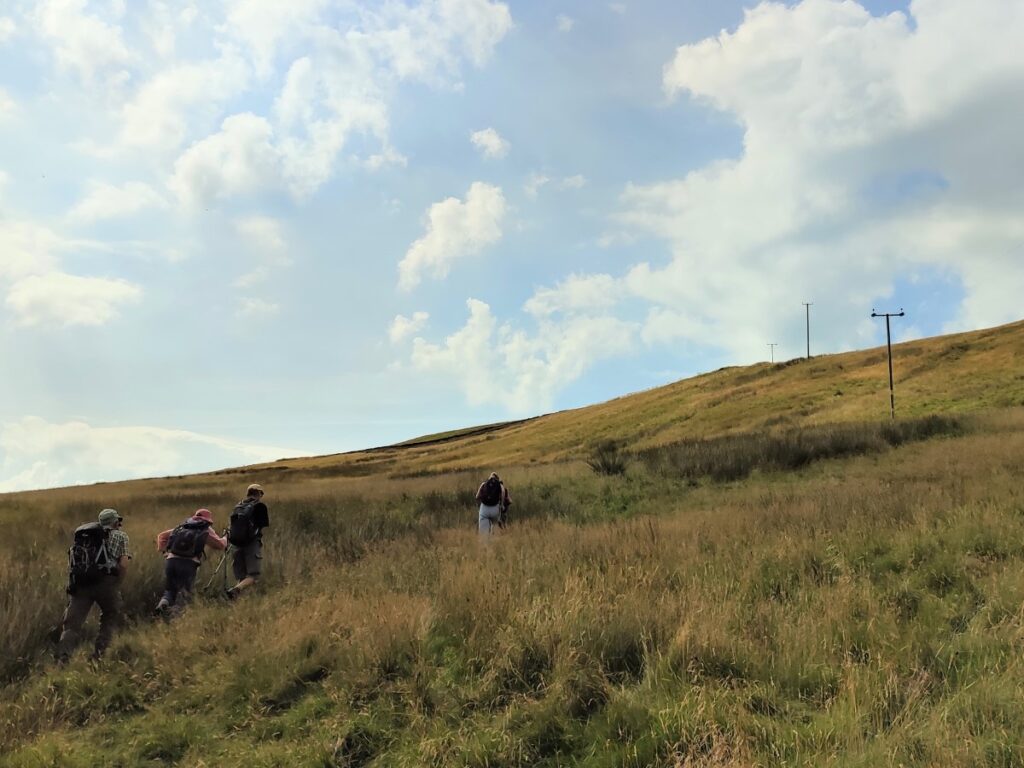
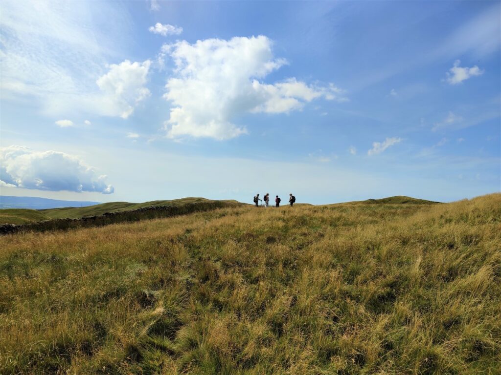
The main path continues up toward Bullpot Farm, home of the Red Rose Cave and Pothole club, and a point of access to a wide-ranging set of potholes and tunnels known as the Ease Gill Caverns, but before we get that far we strike off on the right and head over Hoggs Hill.
The paths are not clear here and it’s easy to miss the route so first identify the overhead power lines, and then not long after they have crossed our path, look for a smaller path up the hillside on the right.
Generally speaking, we follow the direction of the power lines to start with – although not directly under them.


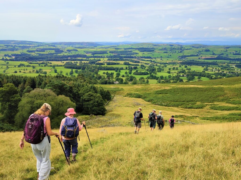
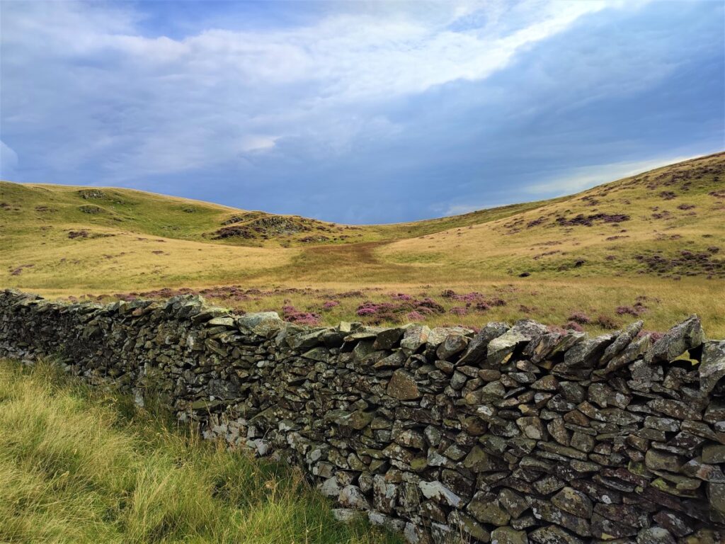
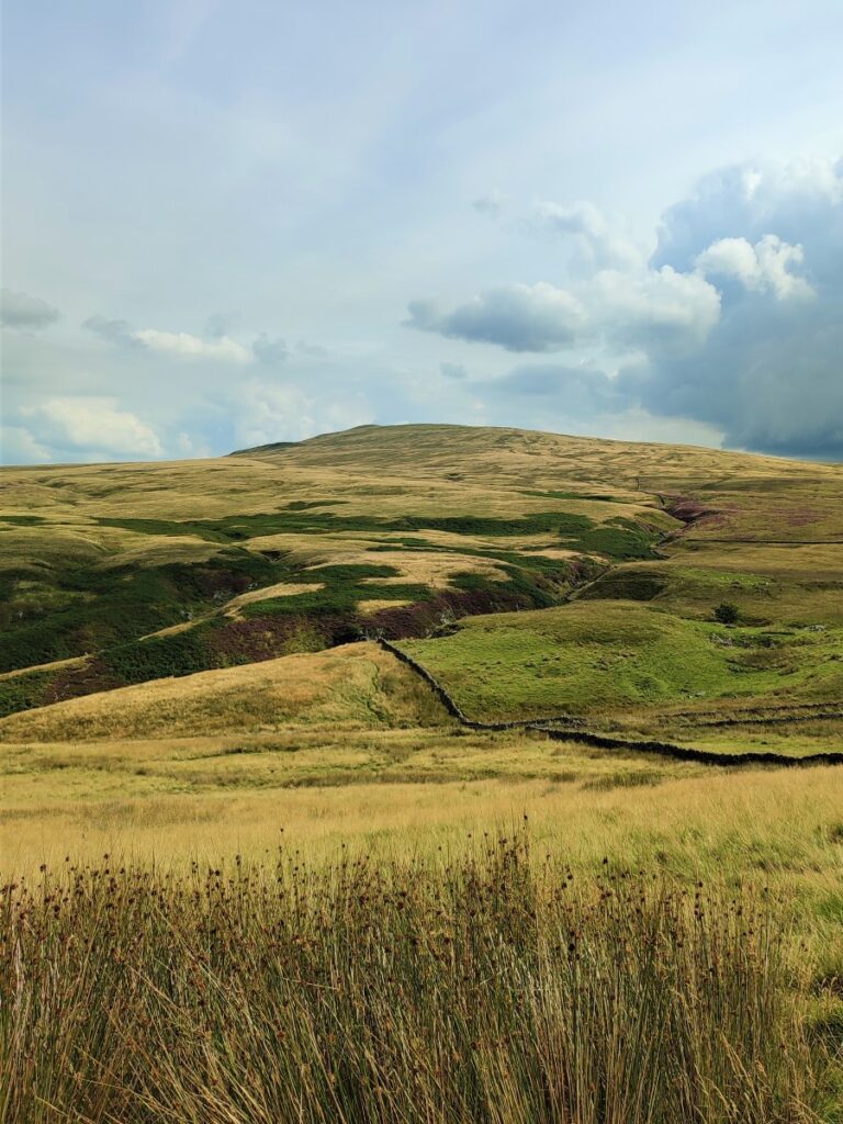
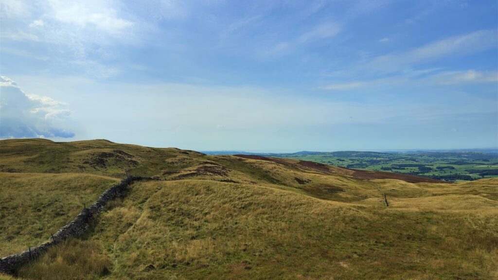
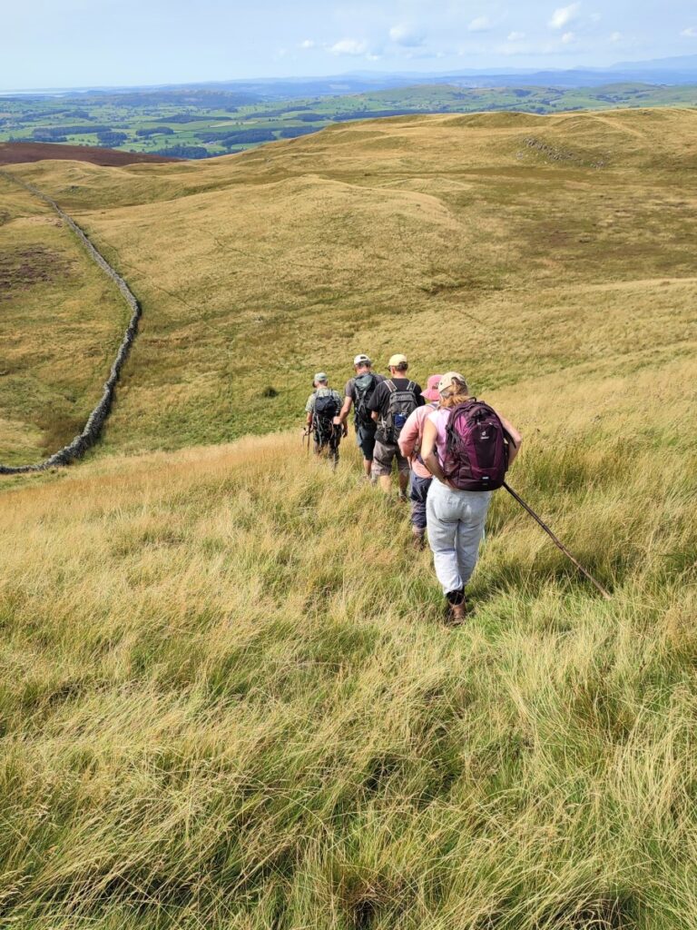
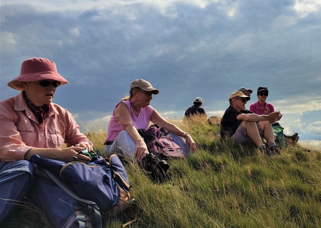
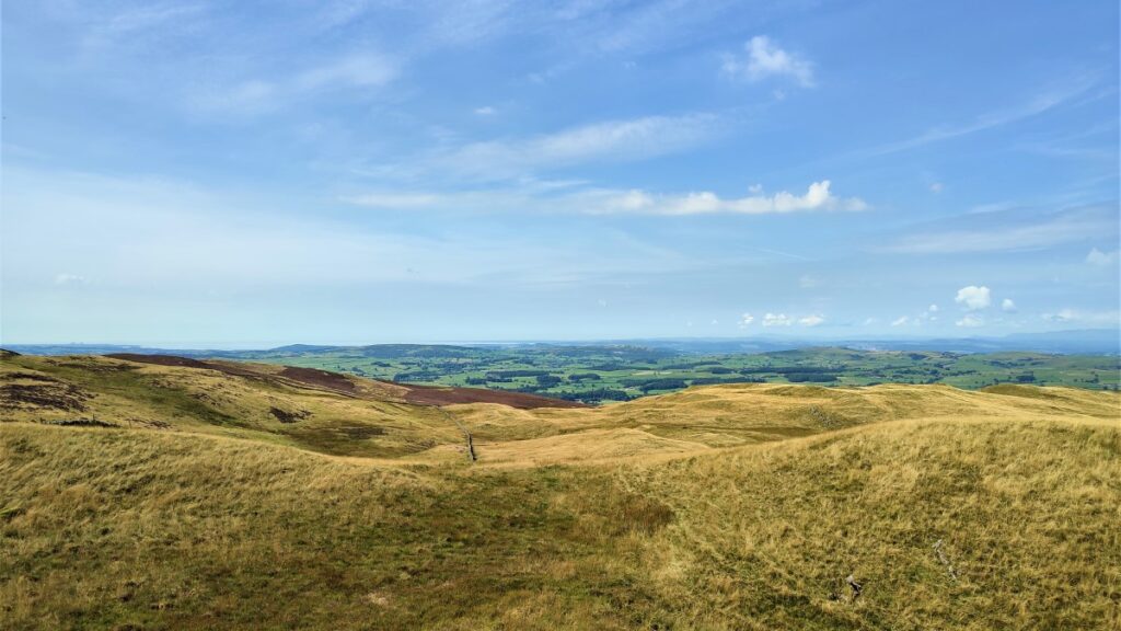
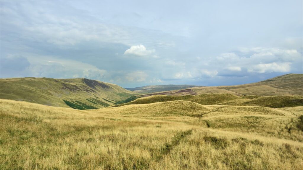
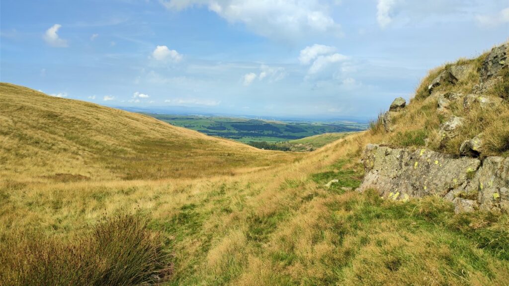
As we progress uphill, we move away from the power lines (they should be on the right throughout) and we find a path that rises steeply up to the peaks (two of them) at Hoggs Hill. Our direction of travel is generally westward now, and so as we arrive at the top we get good views of the West Coast and Morecambe Bay with the Lake District Fells beyond that.
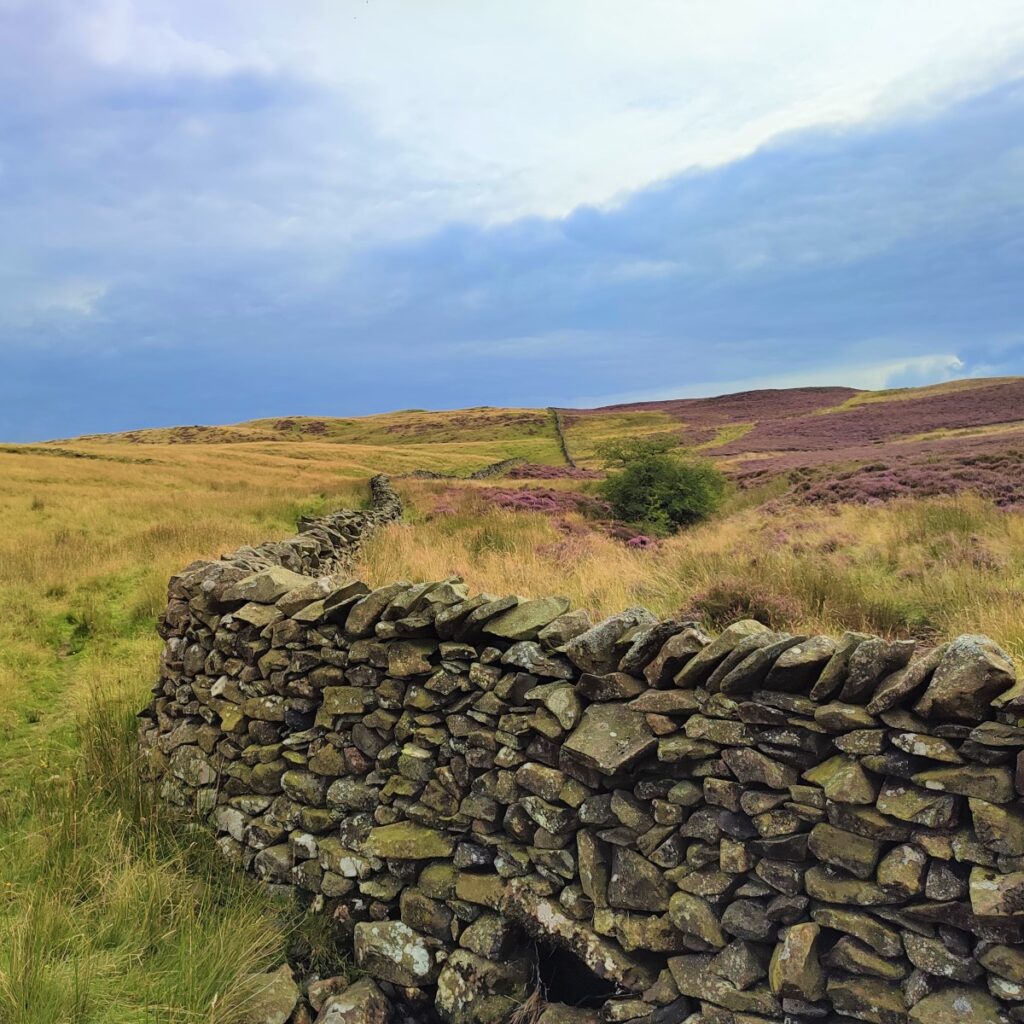
We then note that we have a drystone wall on our left – at no stage do we need to cross that wall, so if you miss the path and arrive at a wall before the peak, just follow the wall uphill.
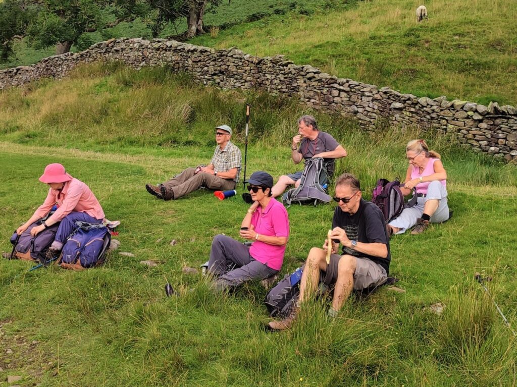
The climb to the top is reasonably steep and so a lunch break before starting the second half of the walk – which is almost all downhill – is recommended.
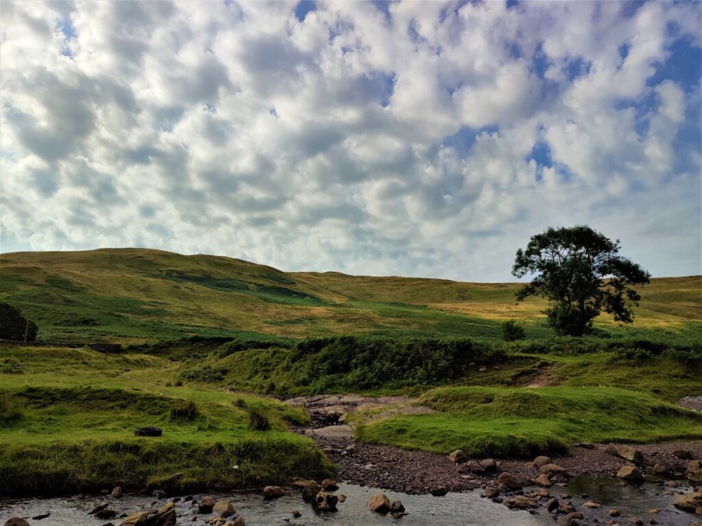
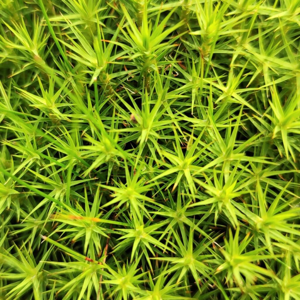
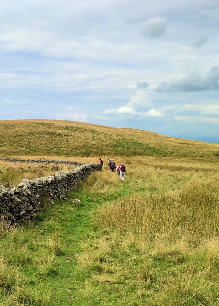
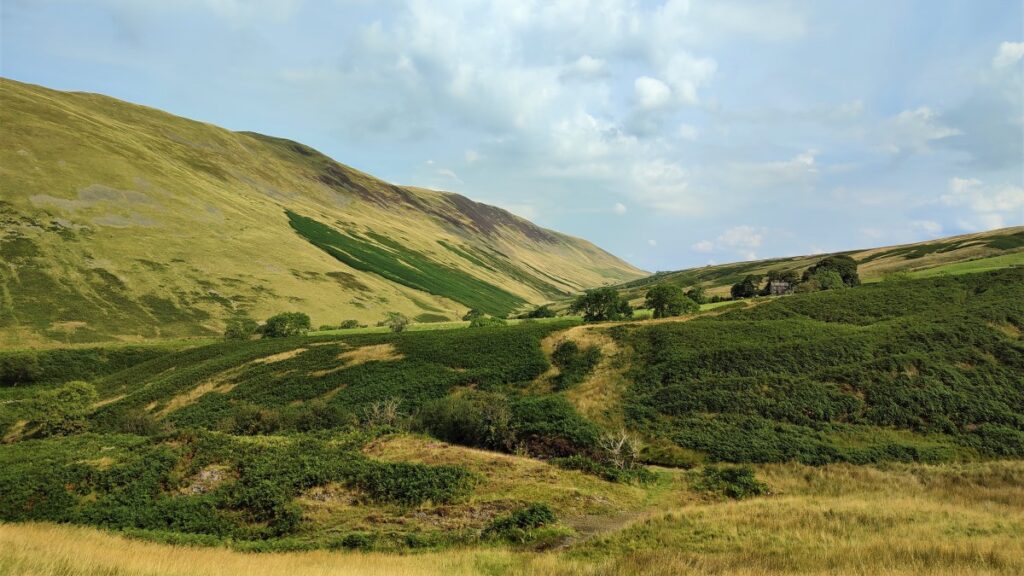
We follow the wall to start with, initially through Nanslope Moss. As the name implies, this is a somewhat wet area, so take care if there has been heavy rain in previous days.
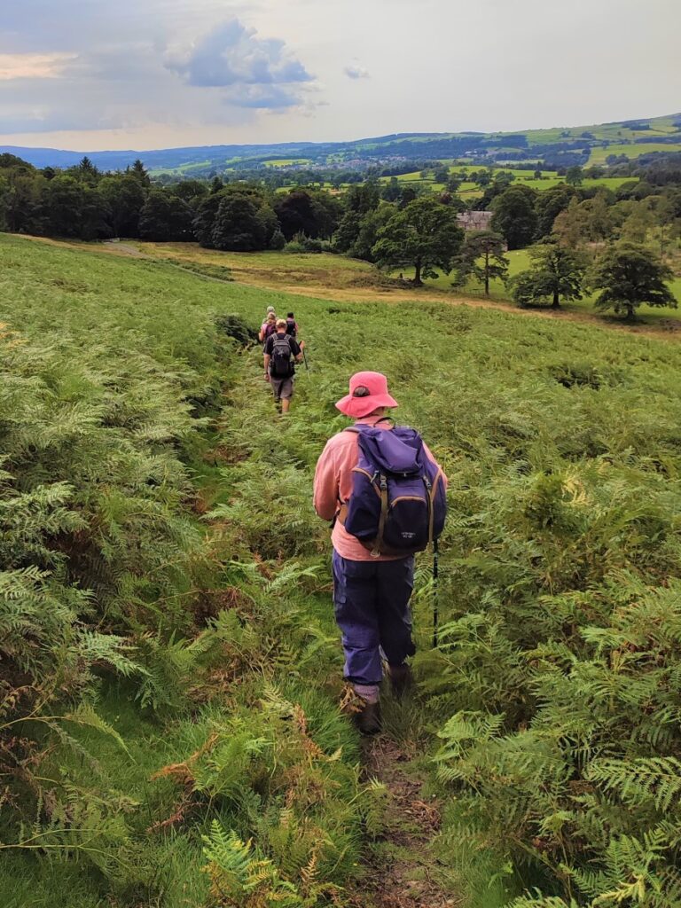
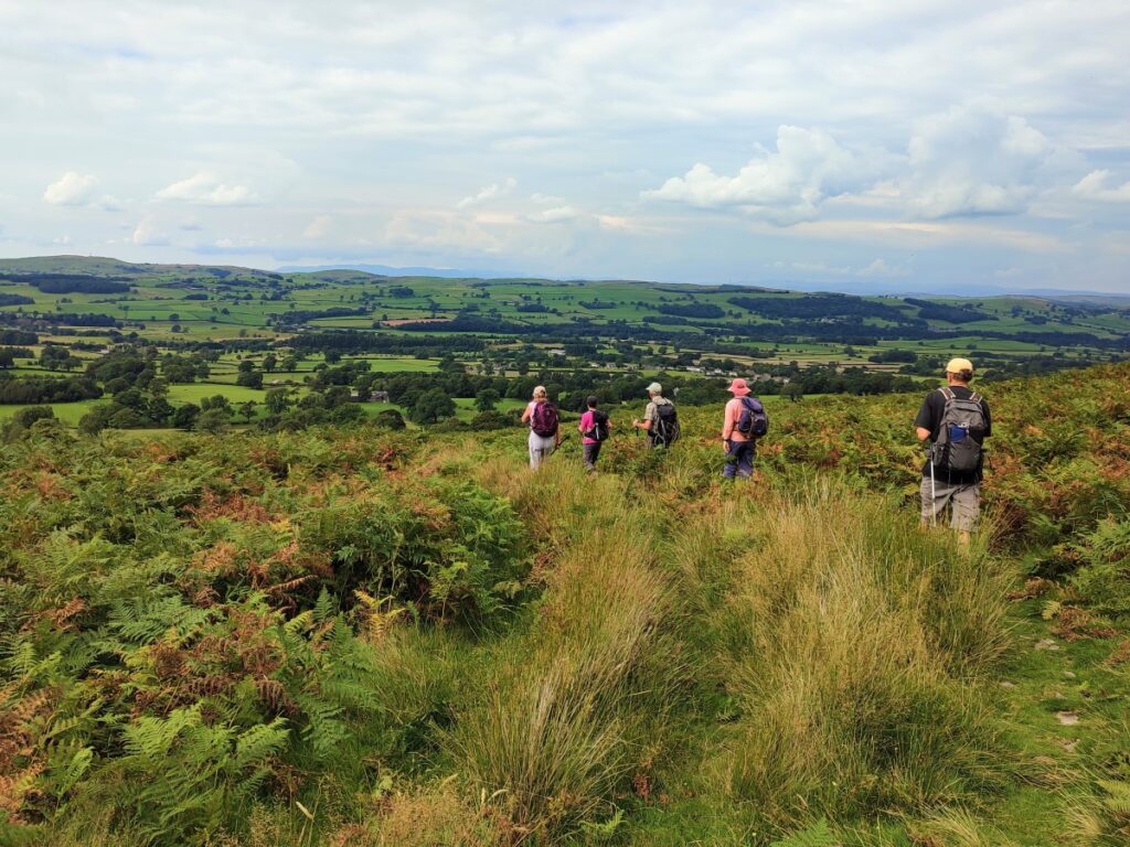
The wall eventually starts to track right, and our route follows it. We later head left, still following the wall, and start to walk through thick bracken on somewhat steeper slopes with the large House at Whelprigg ahead of us, and Barbon over to the right.
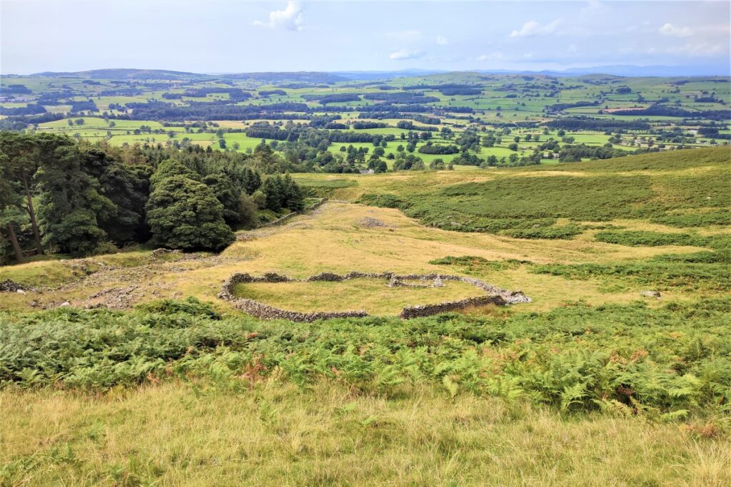
A pair of sheepfolds come into view – the picture here is the one on the left – the second is just to the right but somewhat submerged in the bracken. We head just to the right of the fold and then head down a clear path which takes us down to toward the fell road.

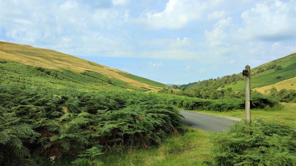
The path branches and we take the left hand route to meet the road further to the left, but if you miss that turn, don’t worry as long as we turn left at the road, when we get there, we arrive at the same place.
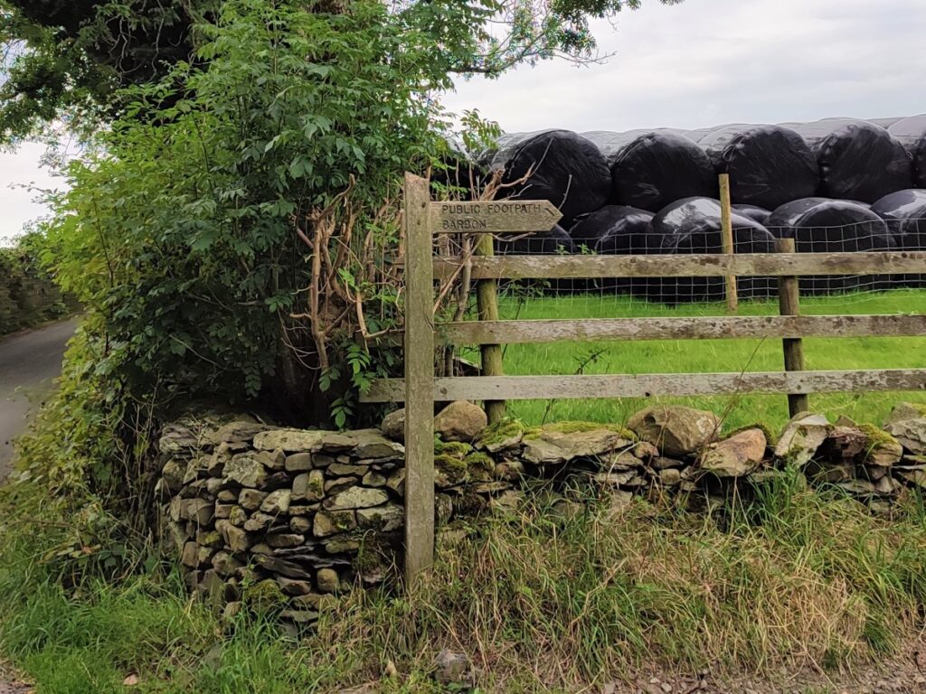
We follow the fell road to the left with Tuplot Wood on our left, Whelprigg on the right and a cattle grid straight ahead. After the cattlegrid, we follow the road for a while, until we clear the woodland, and we see the road veer right. Round this gentle bend we look out for Fell Garth, where we see a fingerpost highlighting a path through the fields back toward Barbon.
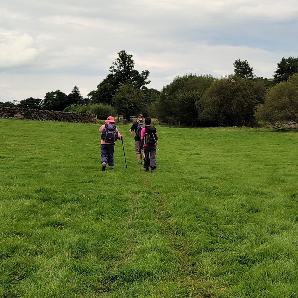
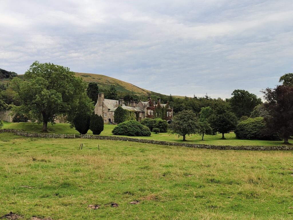
We cross three fields, consistently heading North, until we arrive at a stile onto the access road for the large house at Whelprigg.
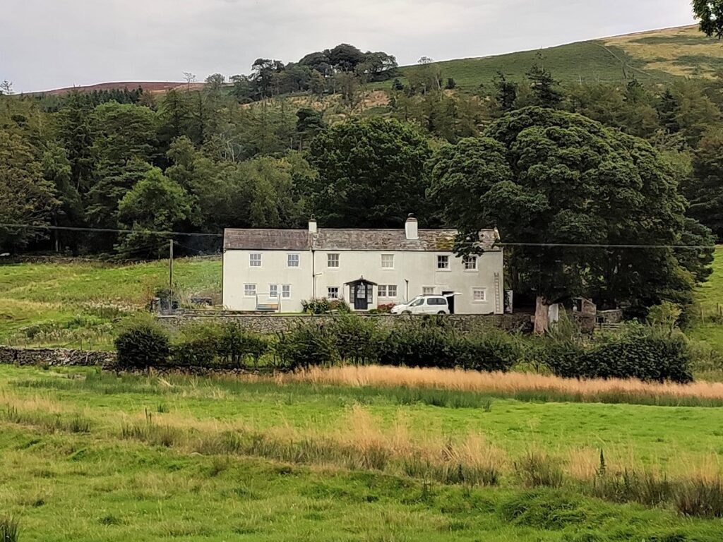
Originally, Whelprigg House was a farmhouse dating back to 1700, but the major part of the current building dates from 1834 with a small addition in about 1900, making it a “William IV country house in the Jacobethan style” – according to it’s website.
It is now used as an upmarket holiday let and events venue.
Our route crosses the access drive and continues opposite over another stile. This leads into a large field with a magnificent Oak tree in the centre. We are heading for the opposite corner of the field so pass the oak tree and then continue until the far gate comes into view.
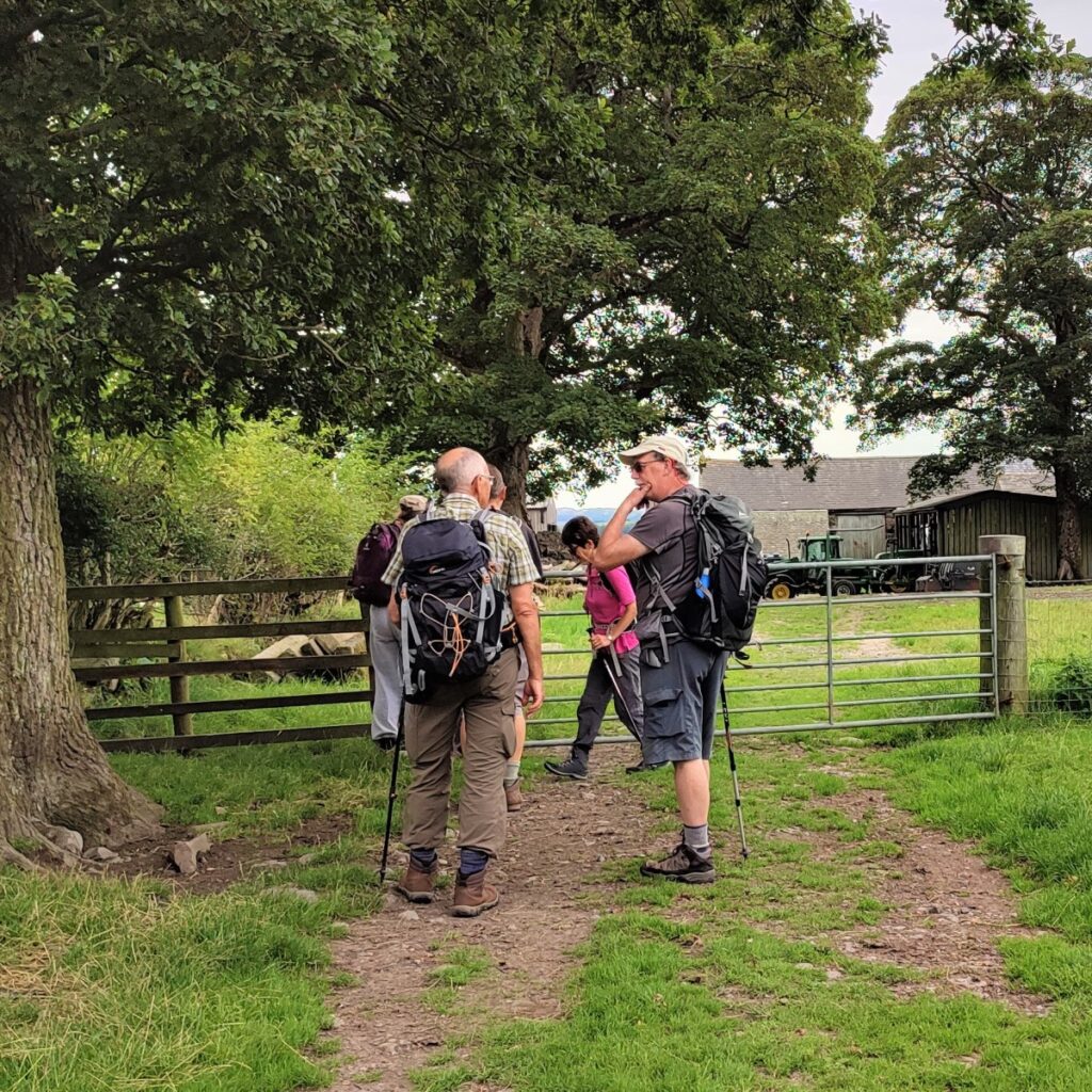
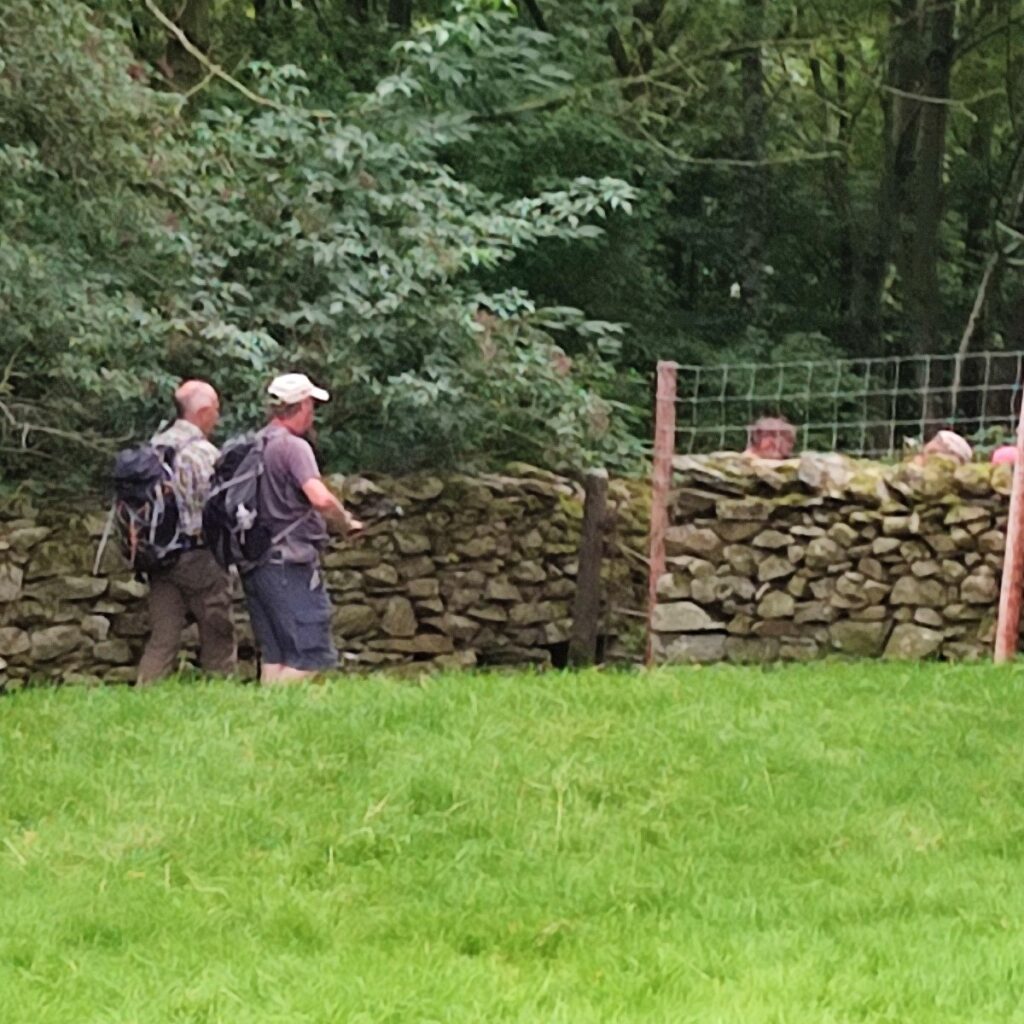
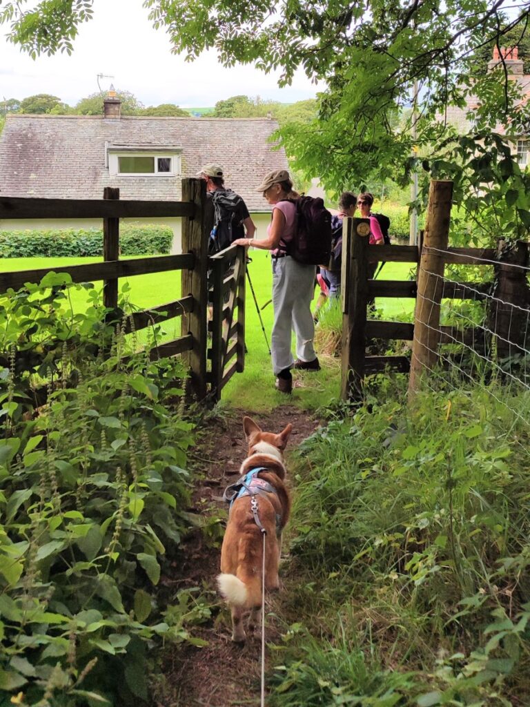
This gate takes us onto a track which bends round to the left where we find another gate and a farmyard. Cross the farmyard diagonally to find a stile (it may be hidden by farm equipment / storage). We go through the wall to gain access to a path through the fields over toward Barbon.
The next stile is at the bottom left of the field and the path then runs along the edge of a woodland to yet another stile which takes us onto a minor road.
We continue almost opposite through a gate and then head North-west through the grounds of a house with an impressive treehouse, to pick up a gate where we cross the bed of the old railway line.
The station site and the newer housing are not much further up the line to our right.
Just over the railway bed, we see a house ahead of us – the path goes just to the right of the house – and we join a lane which we follow down to a T junction where we see the Village Hall just to our right, ending this walk.
- Total distance 11.2 km (7.6 miles)
- Total Ascent 553 m
- Moderate walk