Jump to . . .Step by Step | OS Map | Downloads | Gallery | Fly through
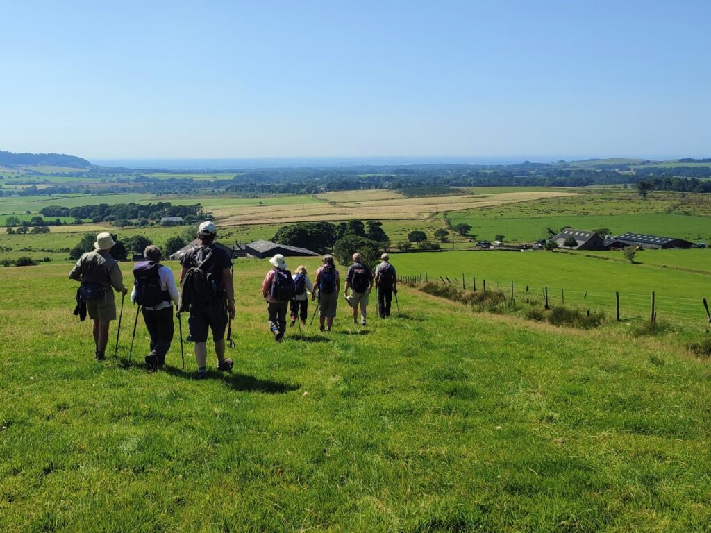
One of the many advantages of living in Bentham is easy access to the Forest of Bowland – a beautiful area seen by some as the poor relation to the Yorkshire Dales and the Lake District. This walk shows that this is not the case.
We start with a steep climb up the imposing Parlick Hill, rewarding ourselves with a break at the summit where we enjoy westerly views over Lancashire toward the coast and easterly across the Forest of Bowland. From there, we walk the ridge of Blindhurst Fell over to the summit of Fair Snape Fell, where a convenient stone shelter hosts a lunch break.
We then back track a little to take a zig-zag path down the side of the fell to Higher Fair Snape, before striking out across fields toward Holme House. Just before we get that far though, we divert left to Bleasdale with an optional visit to the circle before taking a gentle low level path through pastures back to fell foot and the start of the walk.
- Total distance 14.2km (8.8 miles) – includes extension to Bleasdale Circle
- Total Ascent 594 m
- Moderate walk
Step-by-Step

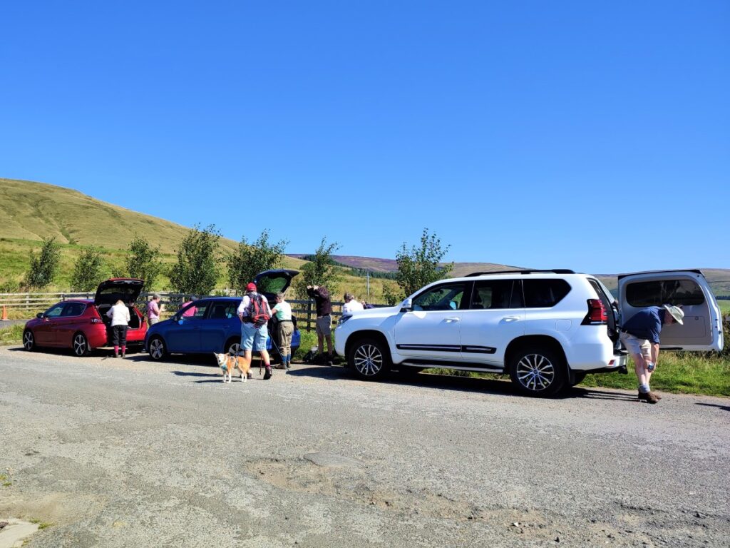
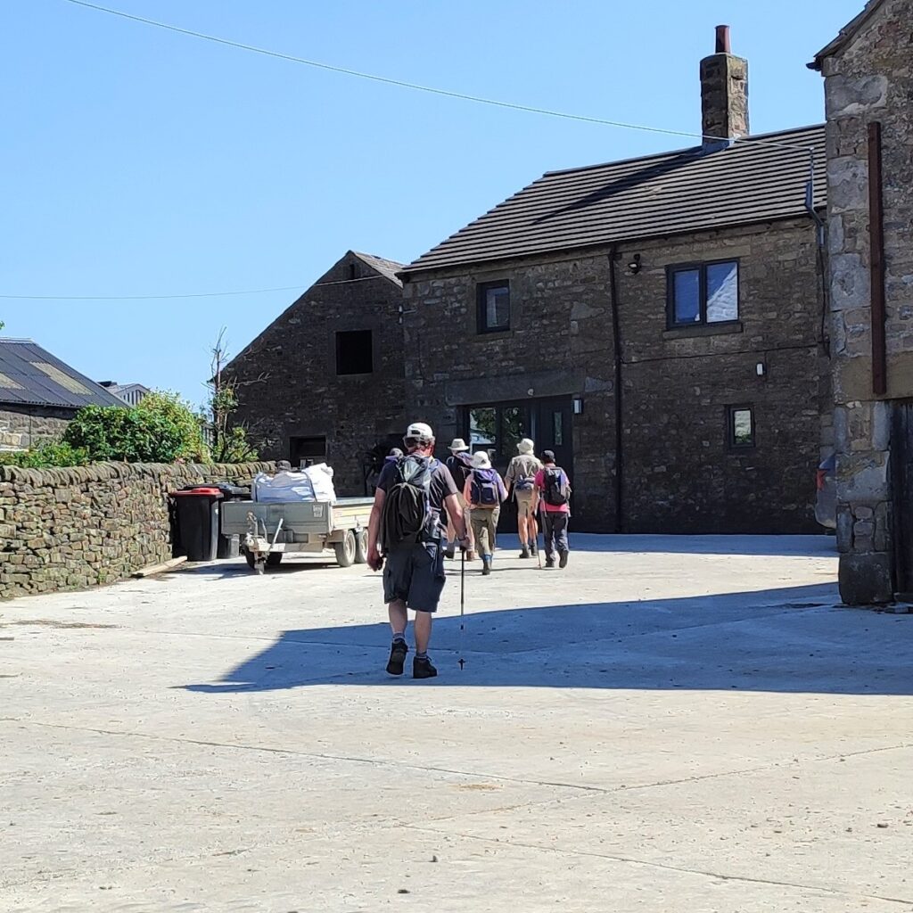
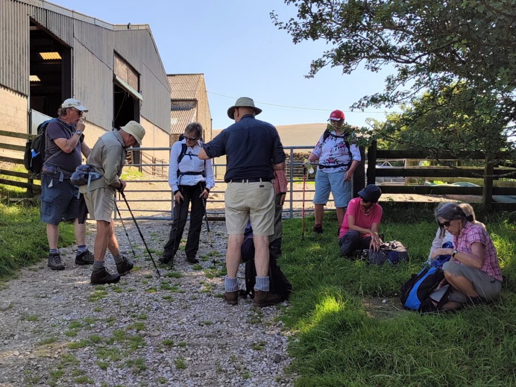
We start at a lay-by at Fell Foot, about 1km West of Chipping. We are looking for at the junction of the delightfully named Startifants Lane, Fell Gate, and Fish House Lane, and if your Satnav doesn’t include any of those names, then postcode PR3 2NQ gives the approximate location.
What-3-Words tag tailwind.saturate.reminder, or grid reference SD6016 4421 can then be used to pin-point the layby, which is marked as a car park on the OS map – but in reality is just simple roadside parking.
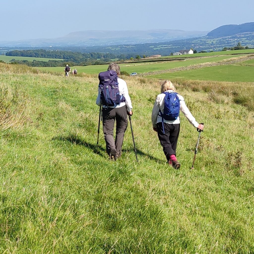
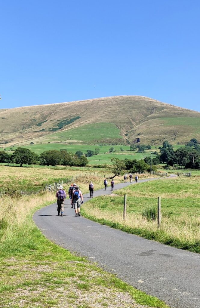
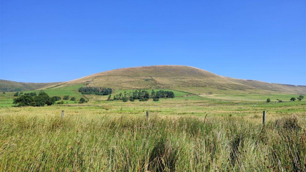
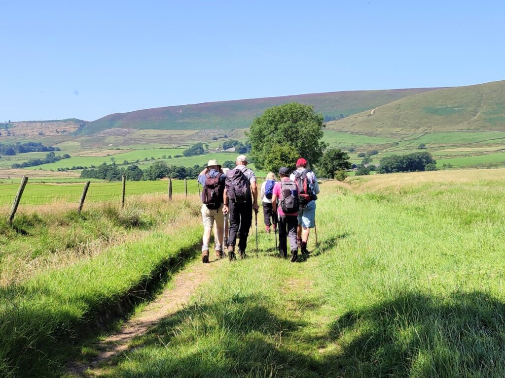
From the parking spot, we head up the metalled track toward Parlick – the somewhat imposing hill that dominates our view at the start.
Parlick – or as it may also be called Parlick Pike – is a characteristically cone-shaped steep-sided hill at the far South of the main range of Bowland hills. The reason for the curious name is disputed, but the most plausible theory is that it is a combination of two Old English words, pyre meaning a pear or pear tree, and loc meaning an enclosed fold where sheep were kept. So Parlick is simply the sheepfold where a pear tree grew.
No pear trees are visible now, although sheep still graze – but not where the paths rise up the hill.
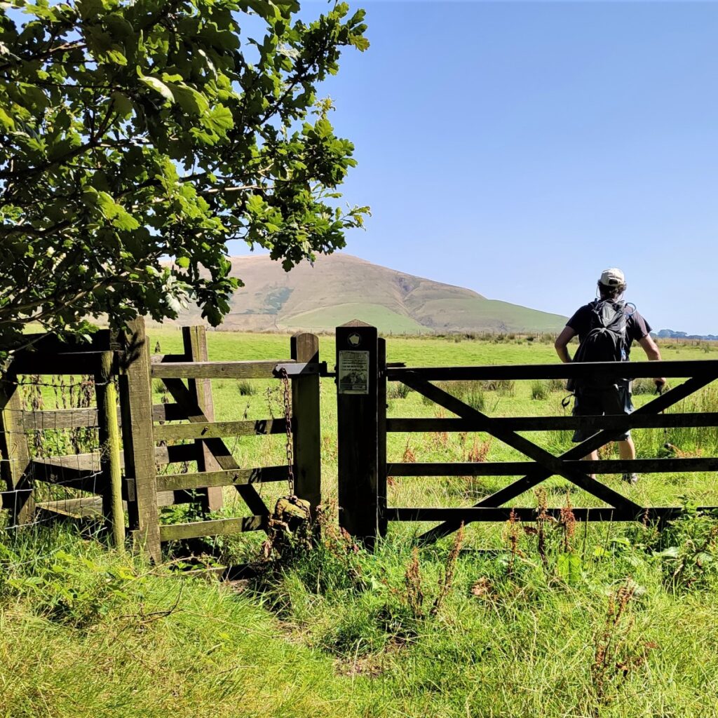
As we head up the metalled lane, we see a pair of farm buildings separated by a fence with a kissing gate – we go through the gate and turn sharp right to start the ascent. The OS map shows the path rising without the right turn, but works are underway to reduce erosion in this area so please respect the diversion.
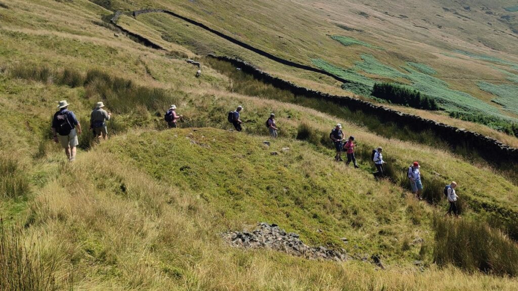
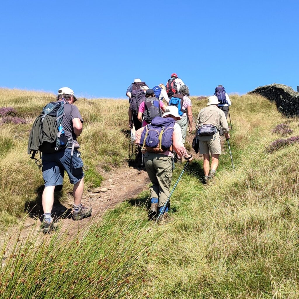
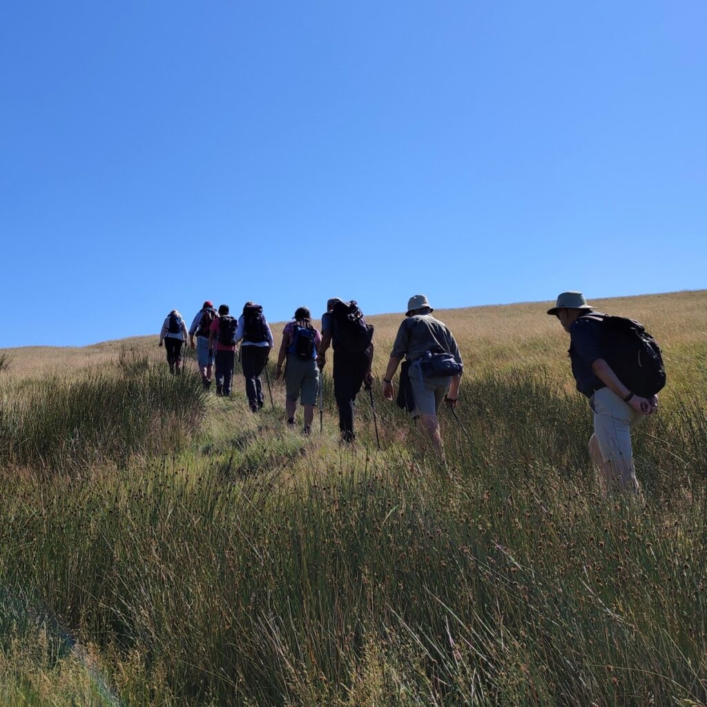
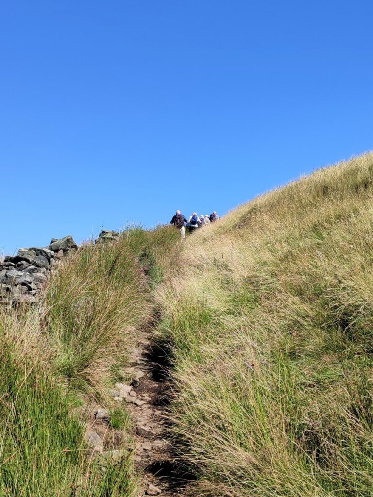
The path soon takes a sharp left and remains clear as we follow it steeply uphill. As we ascend the hill, we are heading generally Northwest, and we see a number of smaller and less distinct paths leaving on both sides. We avoid being tempted by any of these and continue to spiral around the conical side of Parlick rising all the time.
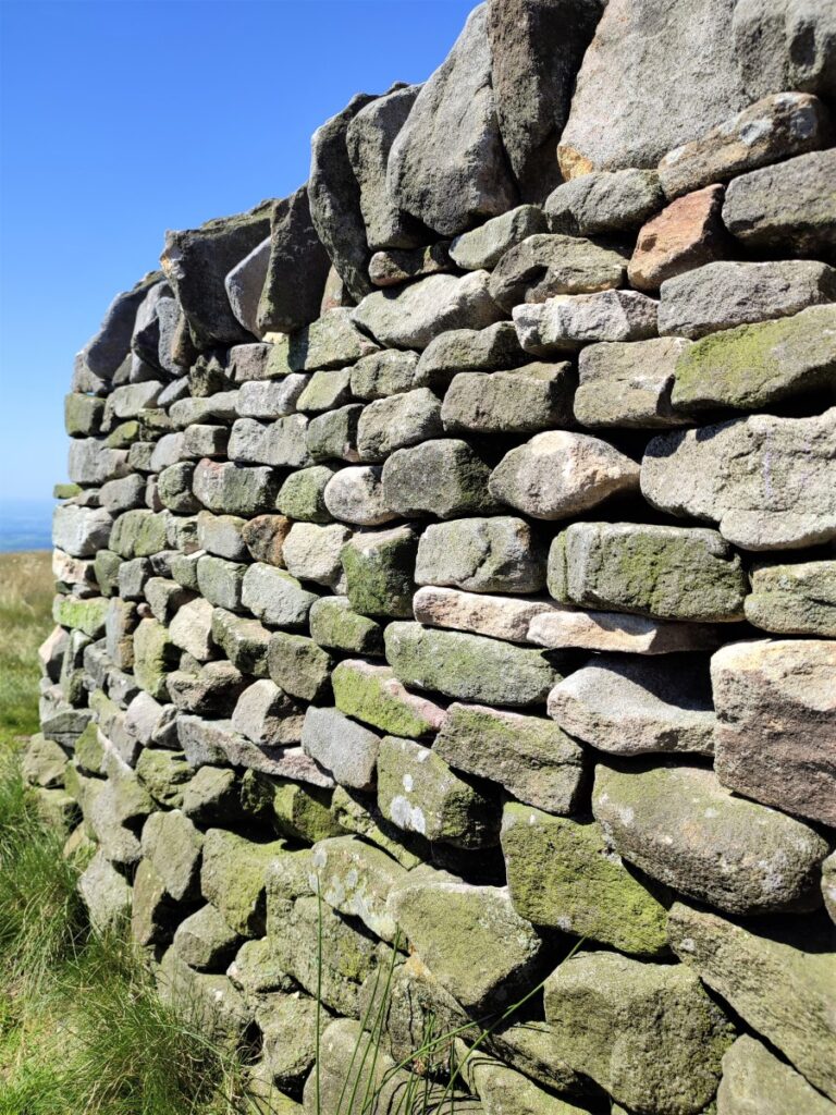
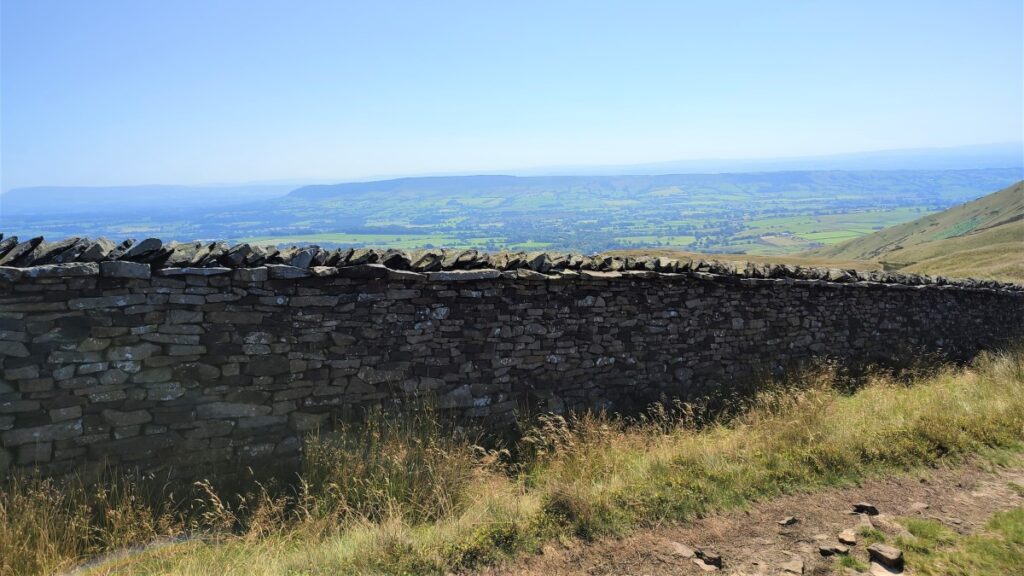
We soon find ourselves climbing quite steeply with a drystone wall on our left hand side – some care is needed here as the path is somewhat uneven.
It is also worth taking a look back at this point – Bowland Forest Gliding Club’s base is on the plain below the hill, and it is not unusual to see gliders being launched – listen too for the eerie whine of the launch winch as an indicator that activity is starting.
The thin path we have followed along the dry stone wall becomes wider again, and merges with an old lane. It is though that the network of lanes that are found throughout this walk were once used to transport rock from small scale quarries and peat from peat digging operations on the tops of the hills. Work is currently underway to stabilise, repair and extend the peat land in the Forest of Bowland, and this is important work: the peat bogs of England hold more carbon than the entire forested areas of the rest of Europe. Details of the work being done can be found at here, as can lots of other information about this fascinating area.
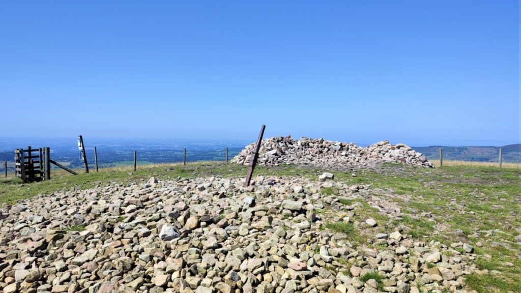
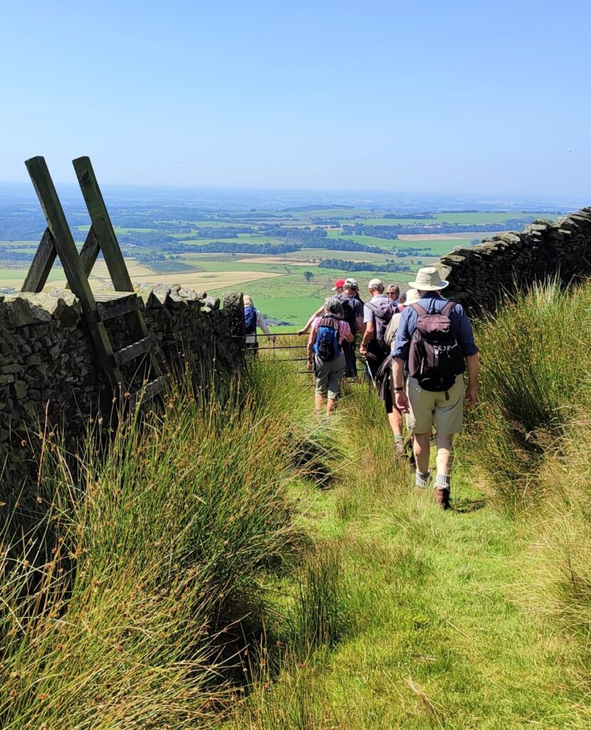
As we follow the old lane around the hill, we realise that the track does not actually visit the top of Parlick, and having climbed this far, it seems a shame not to enjoy the views from there, so as we follow a wire fence on our right, we look out for a path leaving the lane on the right, heading up to the fence which we follow to the right to arrive at the peak and it’s shallow cairn.
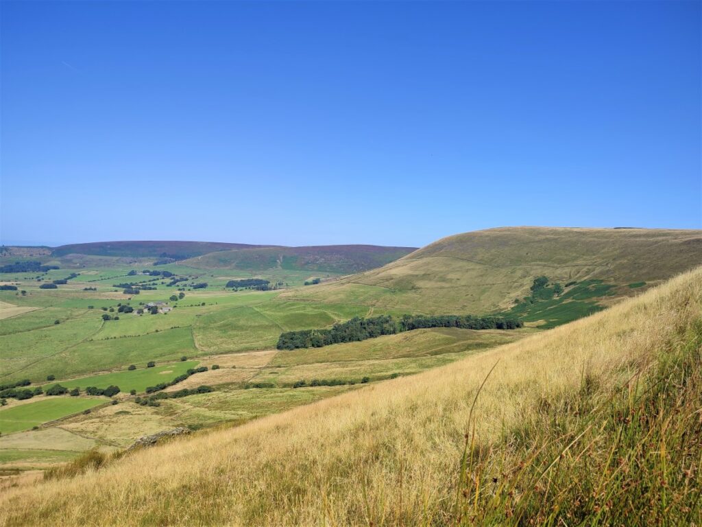
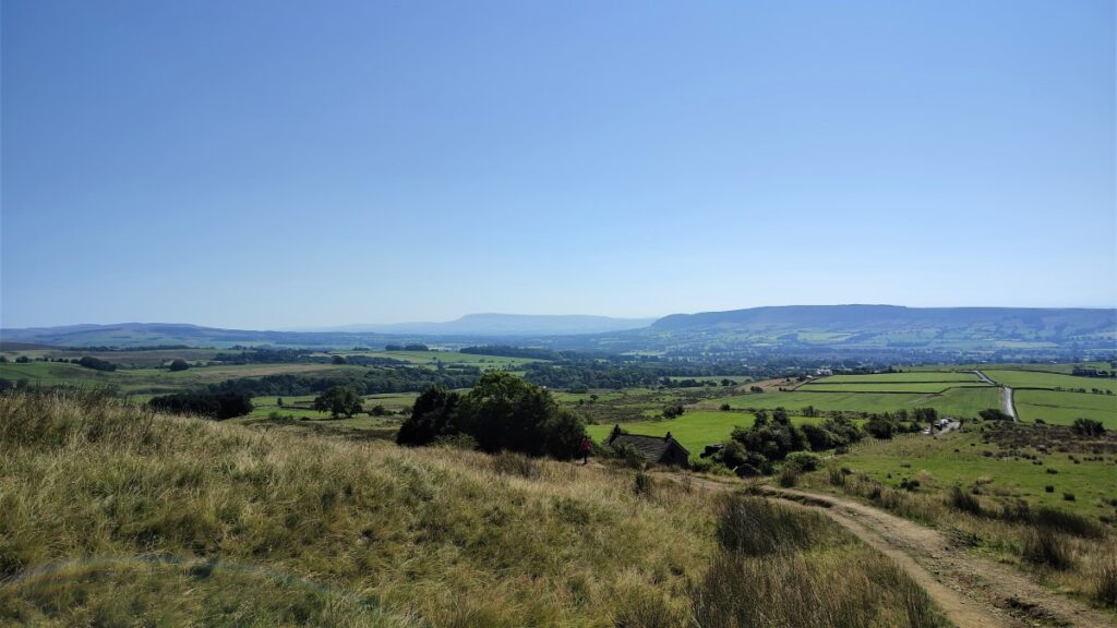
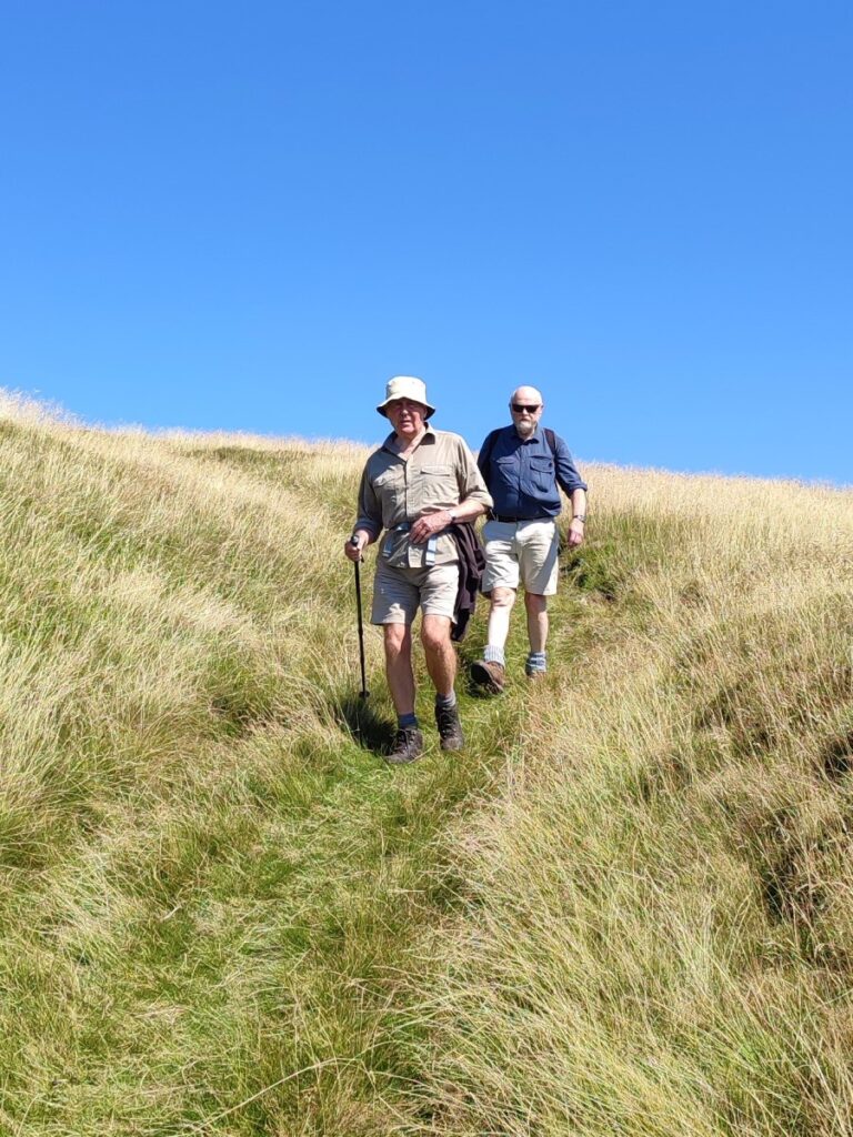
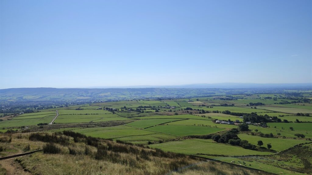
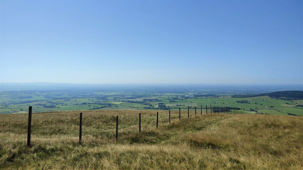
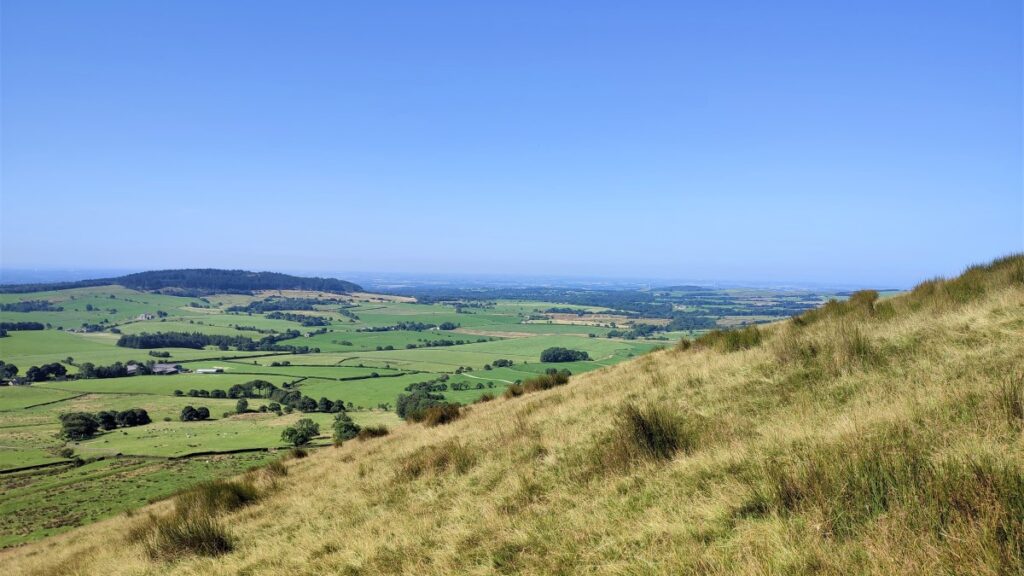
We have now climbed not far short of 600 ft, so a rest and an appreciation of the fine views is called for. On the day of our walk, the air was a little hazy so the longer views were not always apparent, but on a good day, it is possible to see Preston, Winter Hill, Blackpool Tower, Pendle Hill, and the Irish Sea.

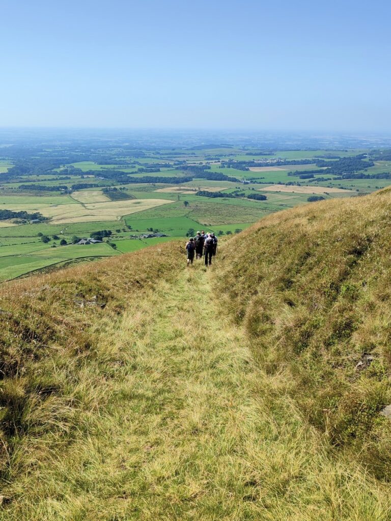
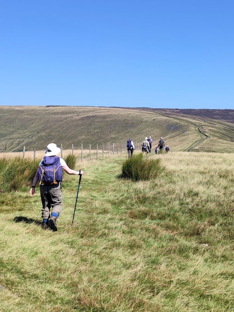
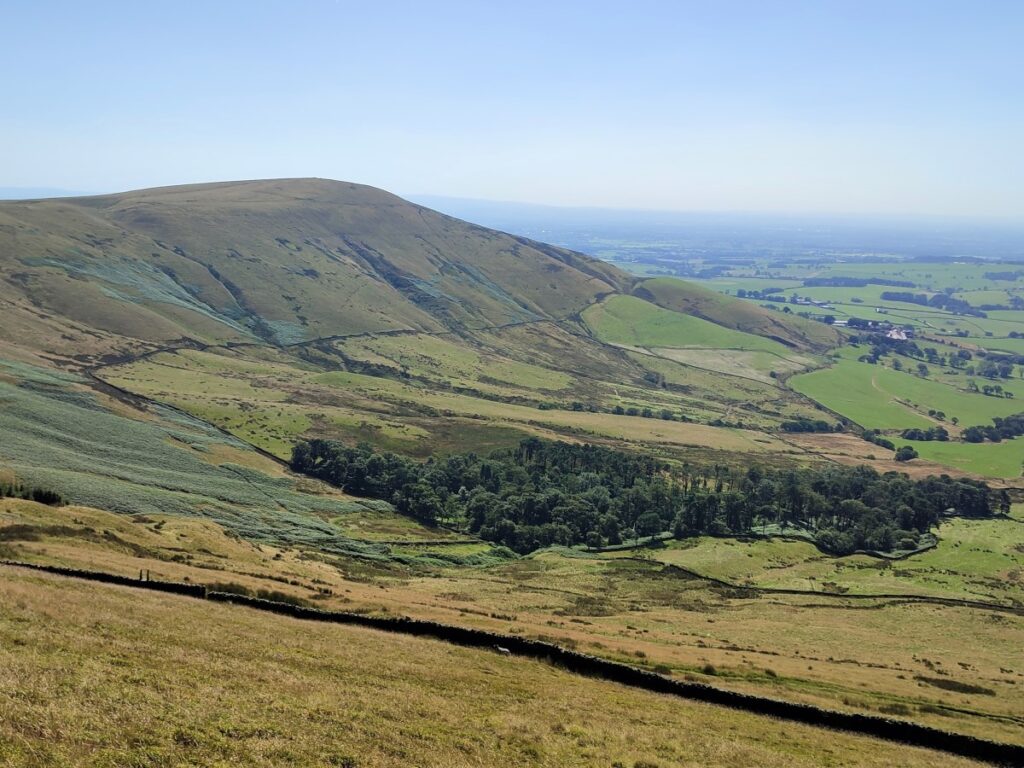
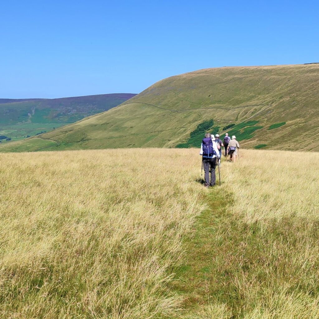
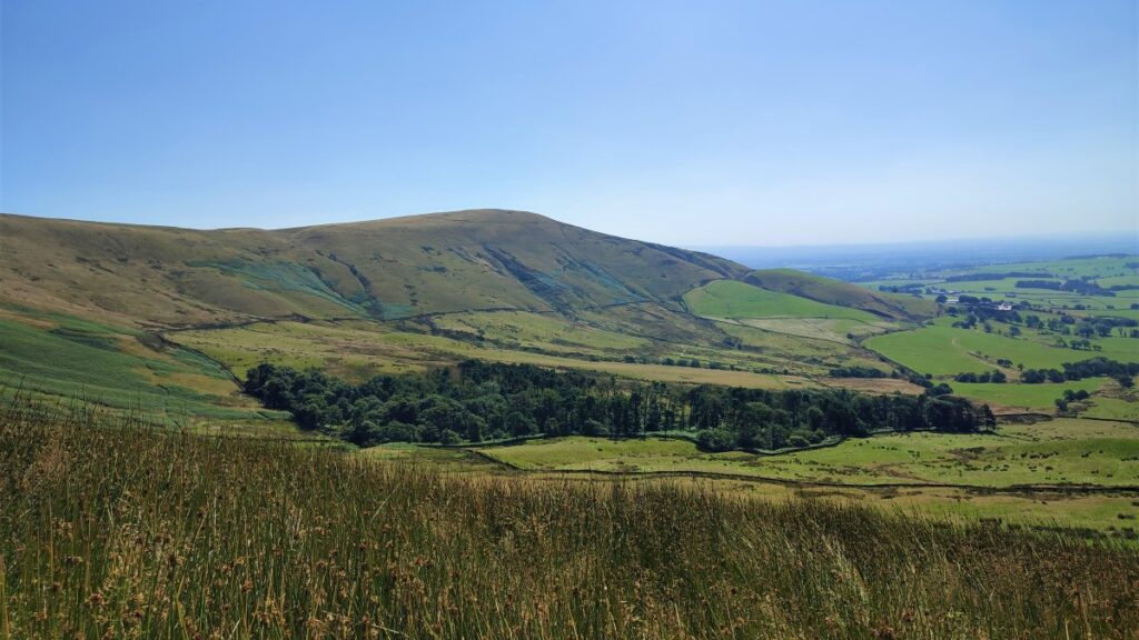
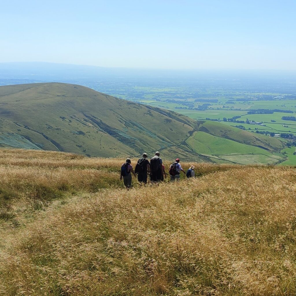
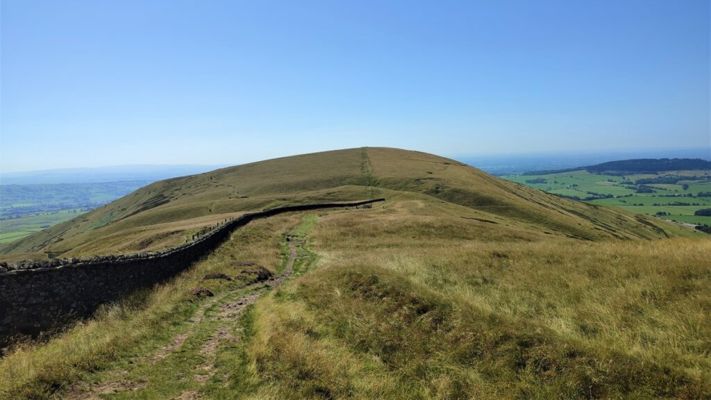
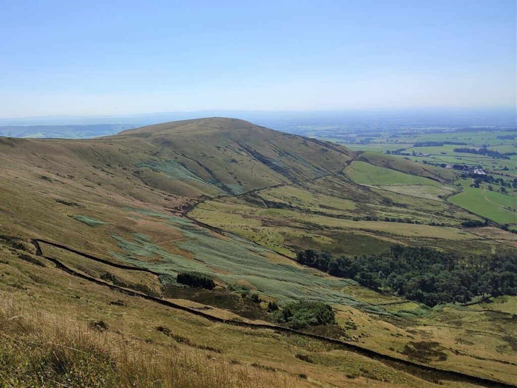
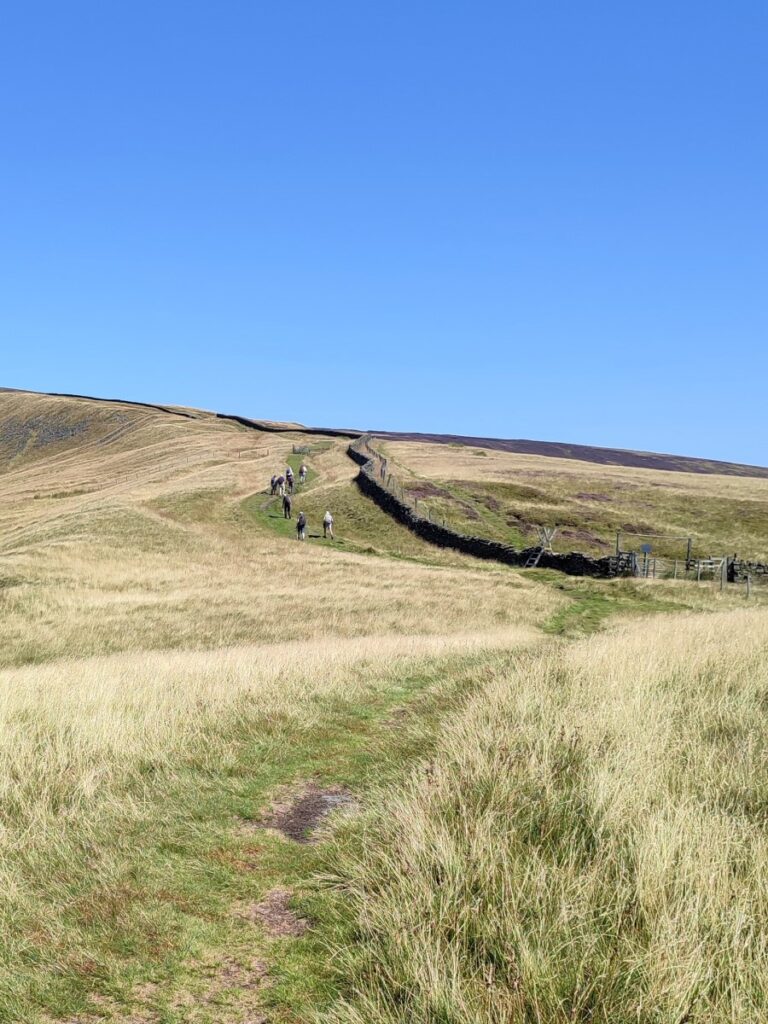
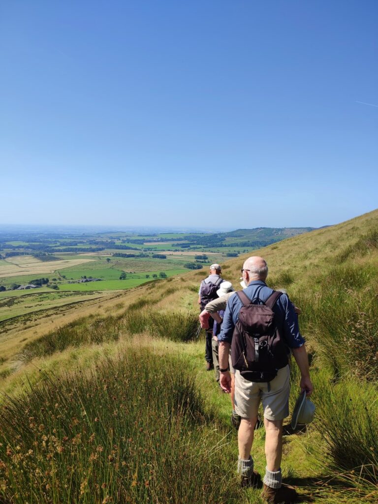
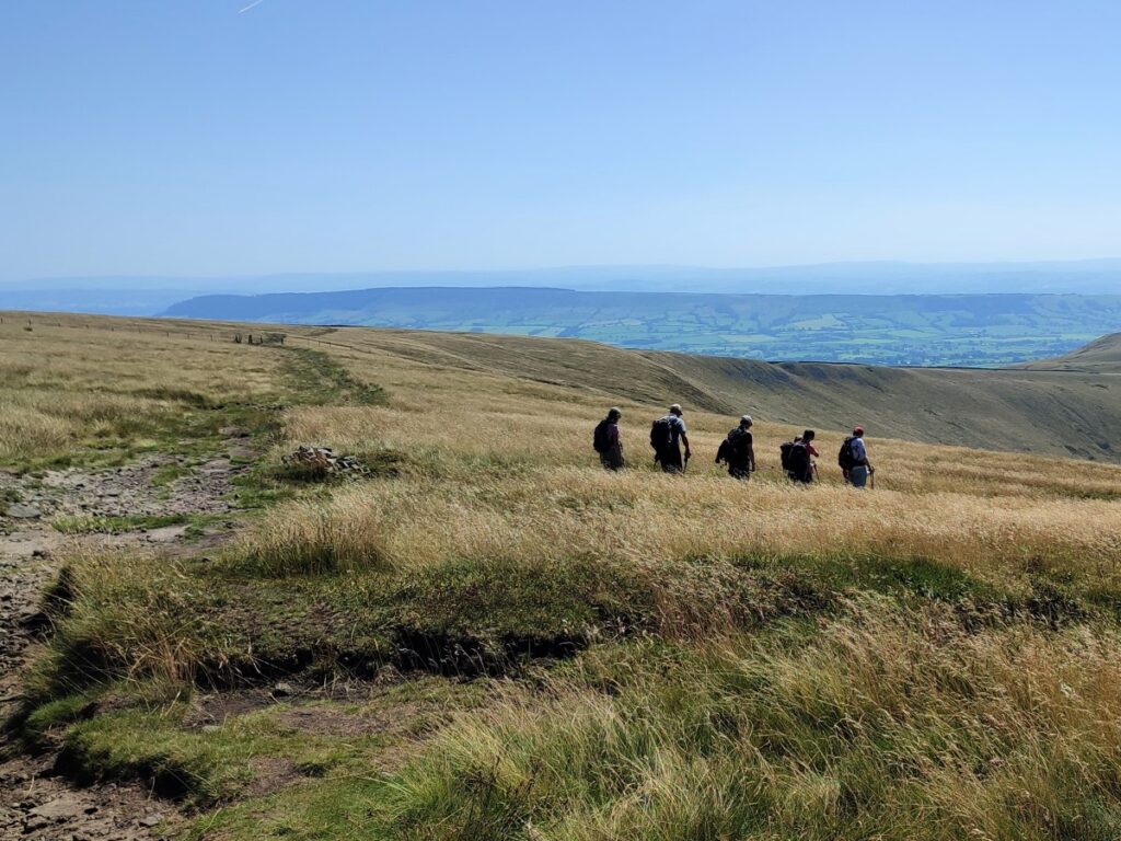
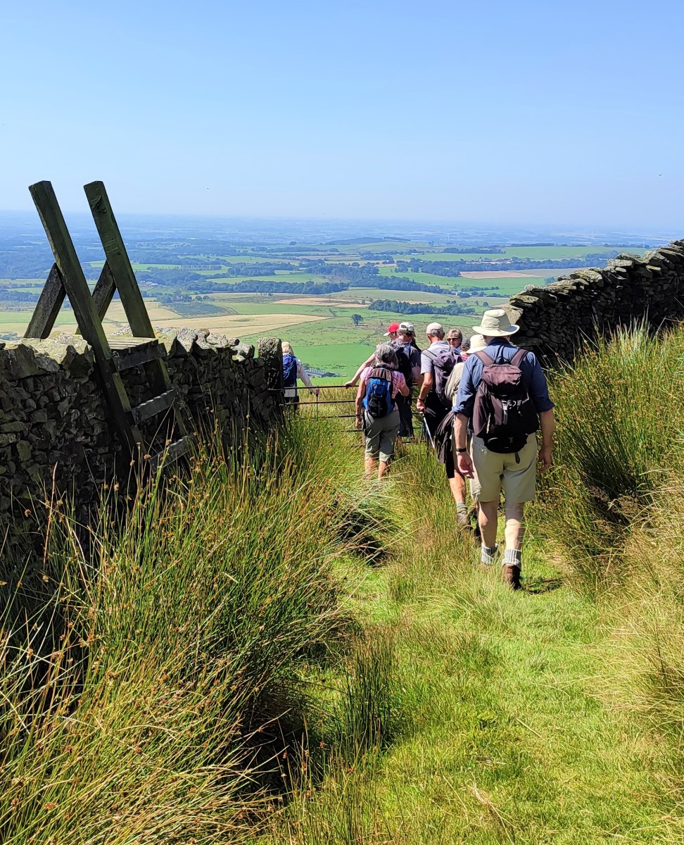
Having rested, we follow the wire fence back the way we came – noting that we are now on the other side of the fence than we were when we approached the summit. This takes us along the ridge that joins Parlick to Fair Snape Fell – the cairn and shelter of which are clearly visible.
We walk gently downhill for a while, and then cross the fence at a stile to continue along the ridge, soon starting to climb as we approach Fair Snape Fell. Compared to the climb of Parlick though, this is easy going.
To our right as we approach Fair Snape fell is the access land of Wolf Fell – there is good walking to be had in that area – just type “Walking on Wolf Fell Chipping” into any search engine to find some great suggestions.
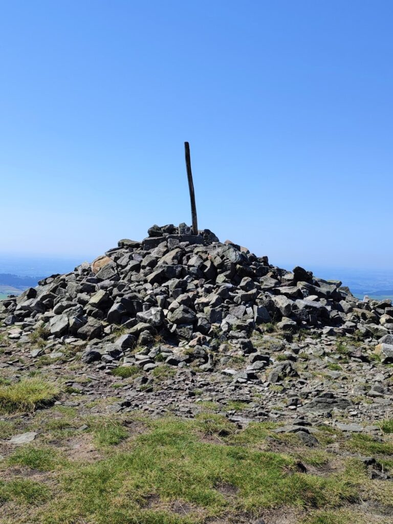
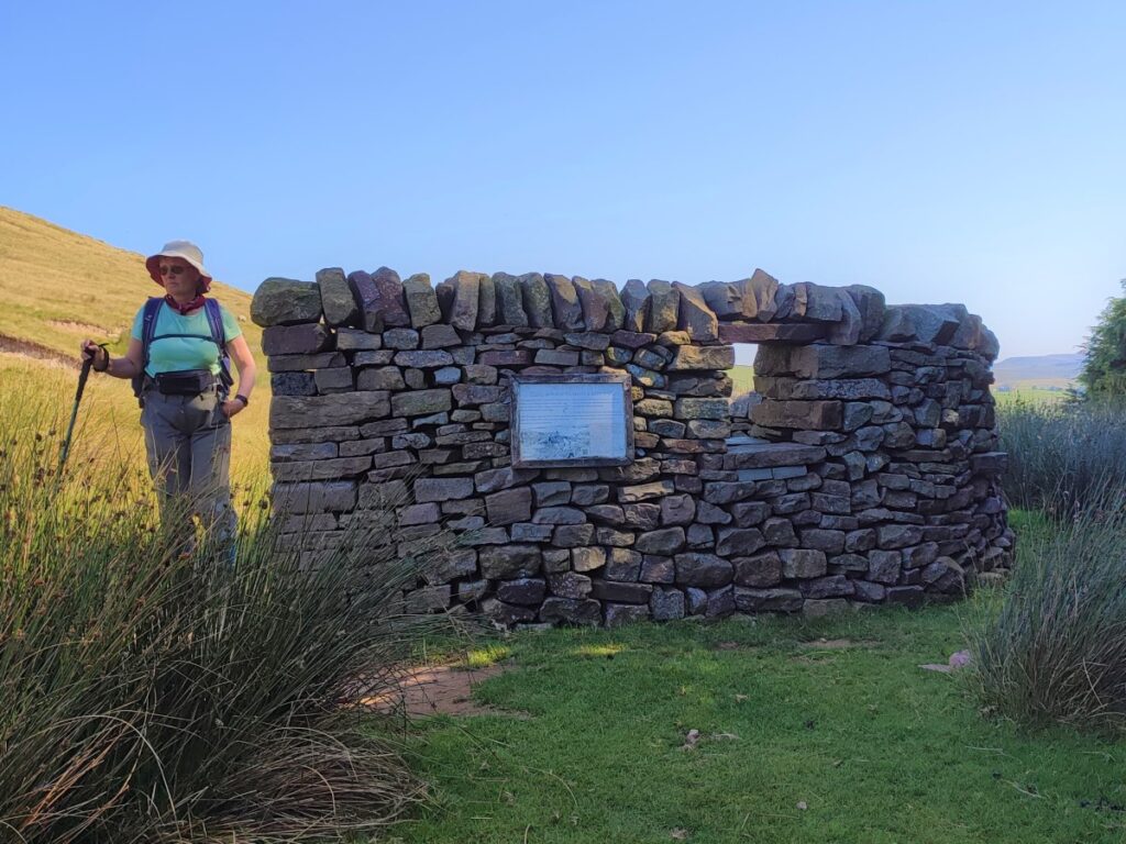
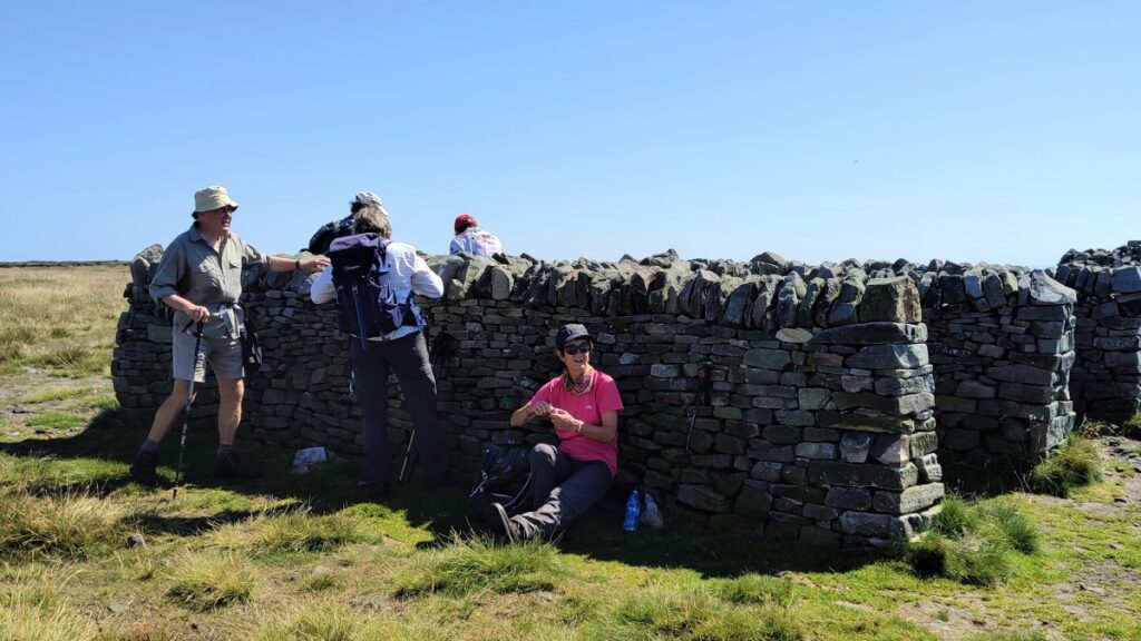
The path now starts to move away from the fence and we head Northwest toward the clear summit of Fair Snape Fell, which boasts a cairn (called Paddy’s Pole) and a very pleasant shelter.
The origin of the name Paddy’s Pole is unclear, but given that it’s marked on the OS map, it is clearly a well-established name. In fact, it has a close connection to the OS – Paddy’s Pole in Bleasdale parish was the origin (meridian) of the 6 inch and 1:2500 Ordnance Survey maps for Lancashire.
What is better understood is the meaning of Fair Snape: The word snape means ‘pasture’; thus, Fair Snape Fell means “the fell of the fair (beautiful) pasture”.
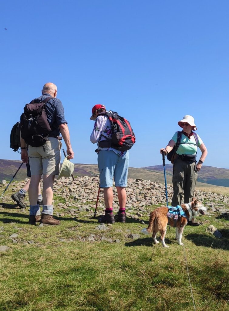
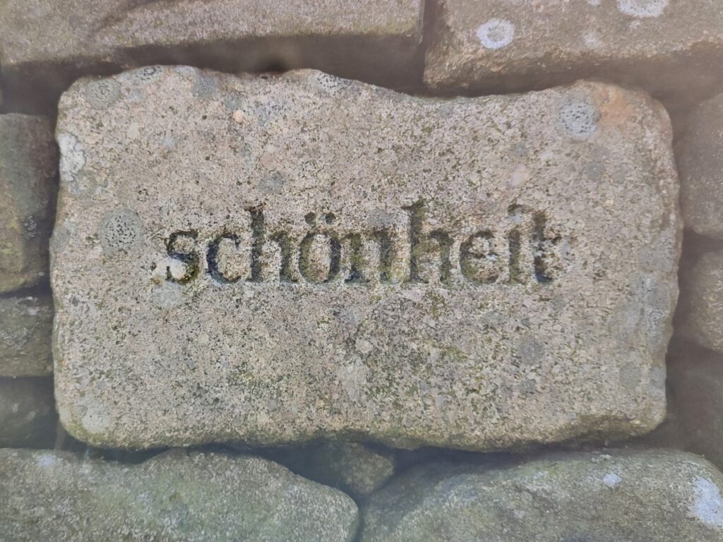
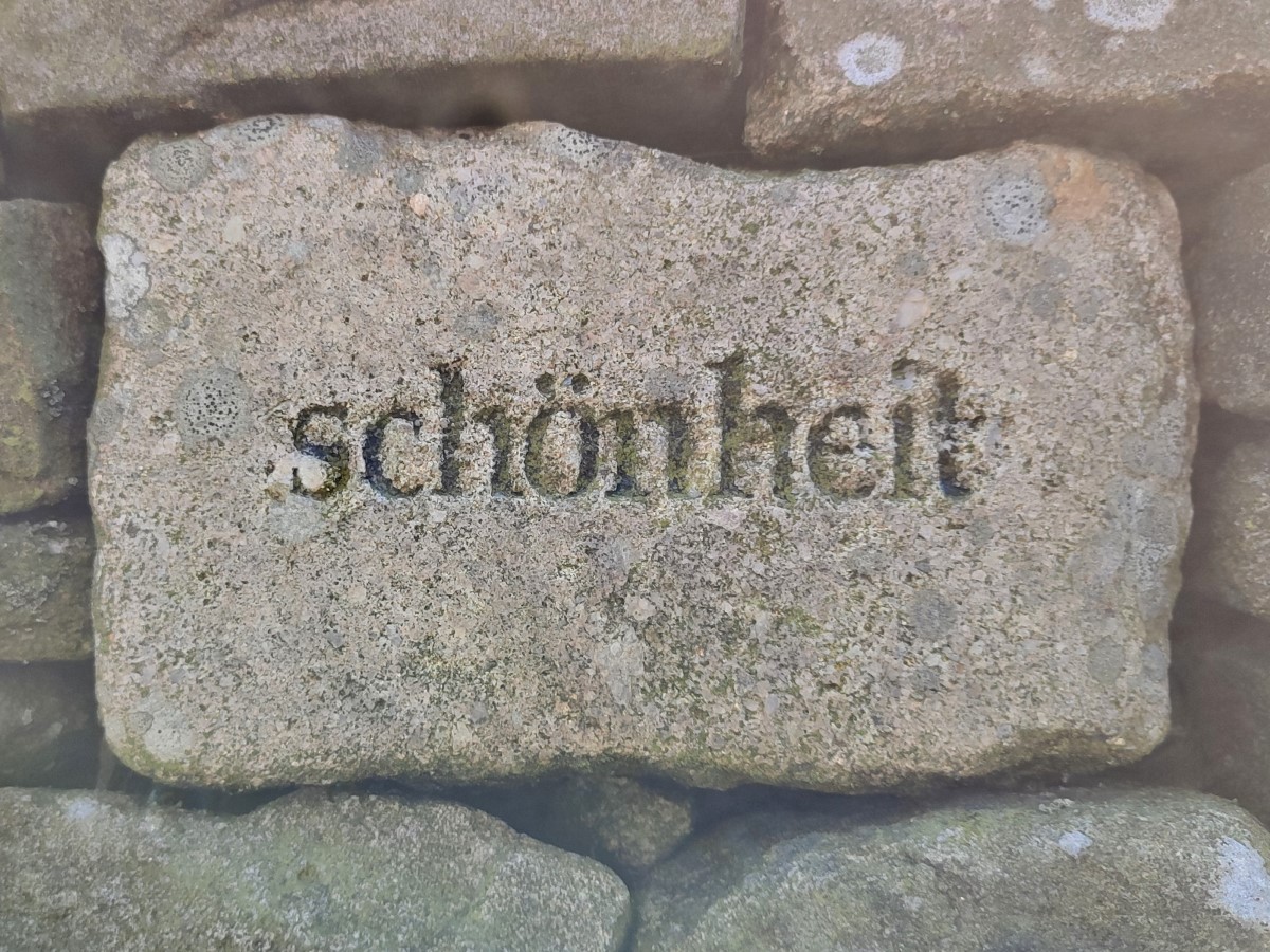
The shelter is a good place to pause for lunch – and as you do, notice that in one of the four quadrants of the shelter there is a stone engraved with the German word “schönheit”, which translates as “beauty”.
We agree with the diagnosis – this is a very beautiful location, be we can find no explanation for the placement of this stone, nor why the only language used is German.
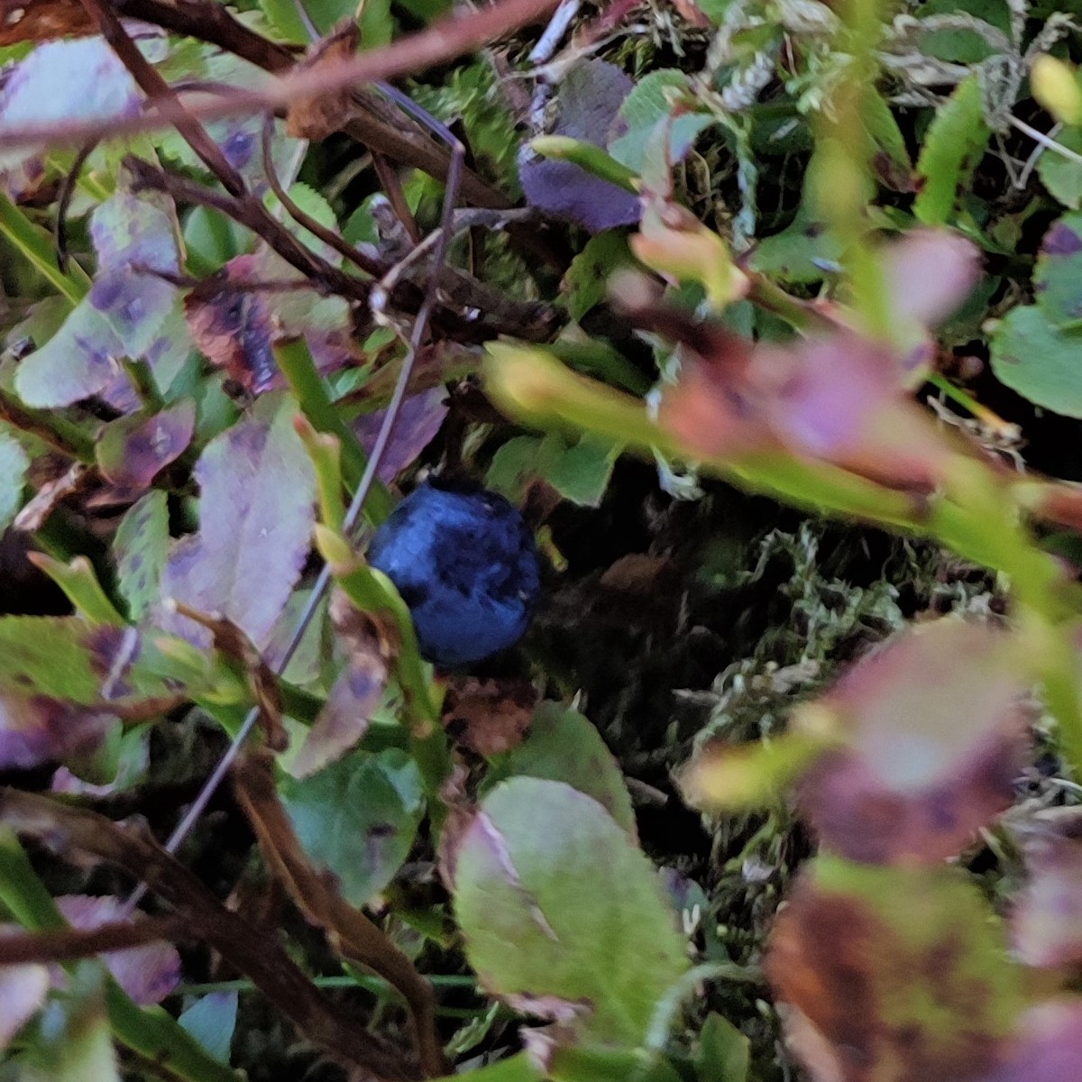
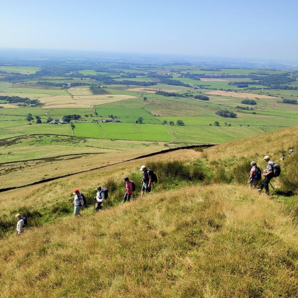
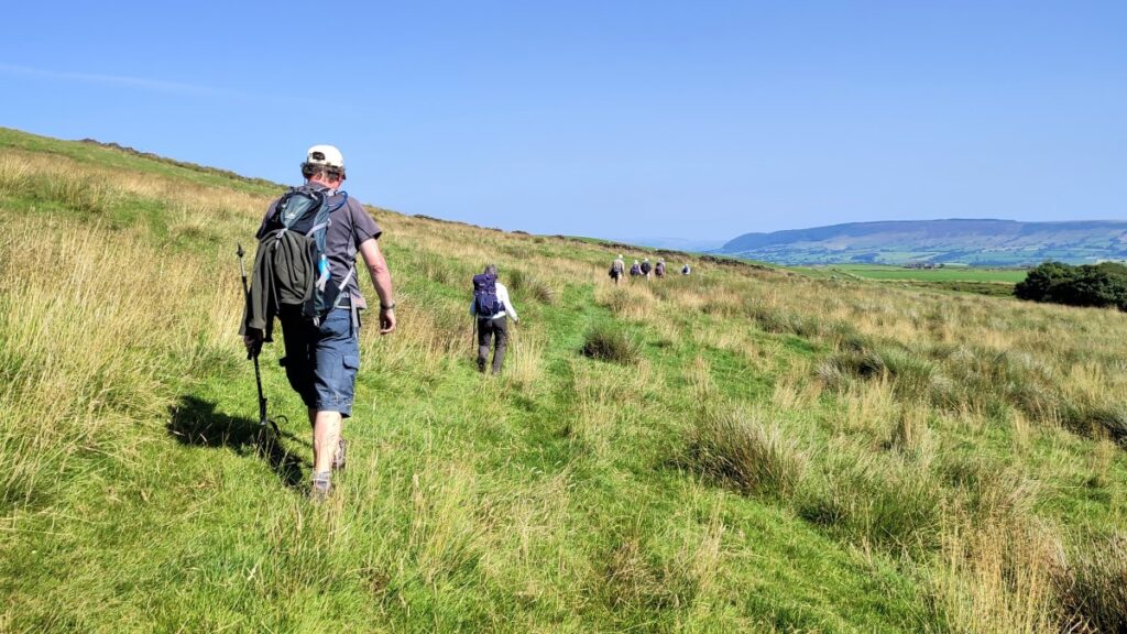
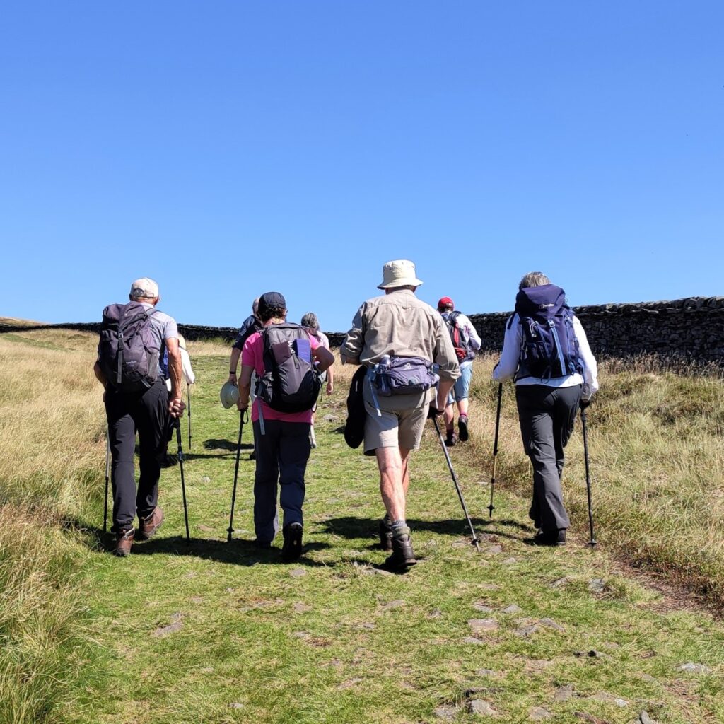
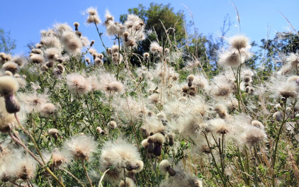
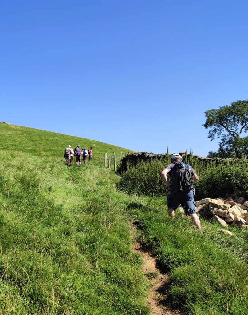
From the shelter, we start our descent – all the hard work is now done. We initially head back the way we came, taking care to find the smaller path leaving the main ridge path on the right to start a series of zig-zag descents along the side of Blindhurst Fell. The path remains clear and take us through extensive wild bilberry bushes.
Bilberries are found natively across northern Europe, Iceland and across the Caucasus into northern Asia. In June, small pink bell-shaped flowers appear and by the time of our walk (August), the small bushes are covered in bilberries.
Bilberries are similar to blueberries but have red inner flesh rather than white flesh. They have a number of different names across geographical regions: blaeberry in Scotland, whortleberry, wimberry, whinberry and urts in other parts of the UK.
Every Mancunian of a certain age will fondly remember whinberry charlottes as a special treat.
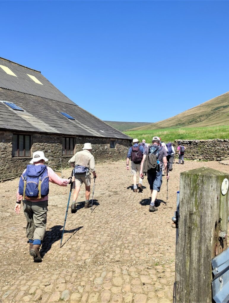
The zig zag path down the side of the saddle of Blindhurst fell soon arrives at a drystone wall which we follow – seeing a large ladder stile ahead of us. We don’t take the stile though – we head through the gate just beyond the stile and head down toward farm building in the distance at Higher Fair Snape.
As we arrive at the farm buildings, we take the gate into the yard and then turn right before passing through another gate where there is welcome shade and a pleasant stream.
We follow the farm track round to the left for a very short distance and find a finger post where we follow the route to the right.
This lane takes us toward another farmyard with the footpath passing to the right hand side of the building before continuing on the far side.
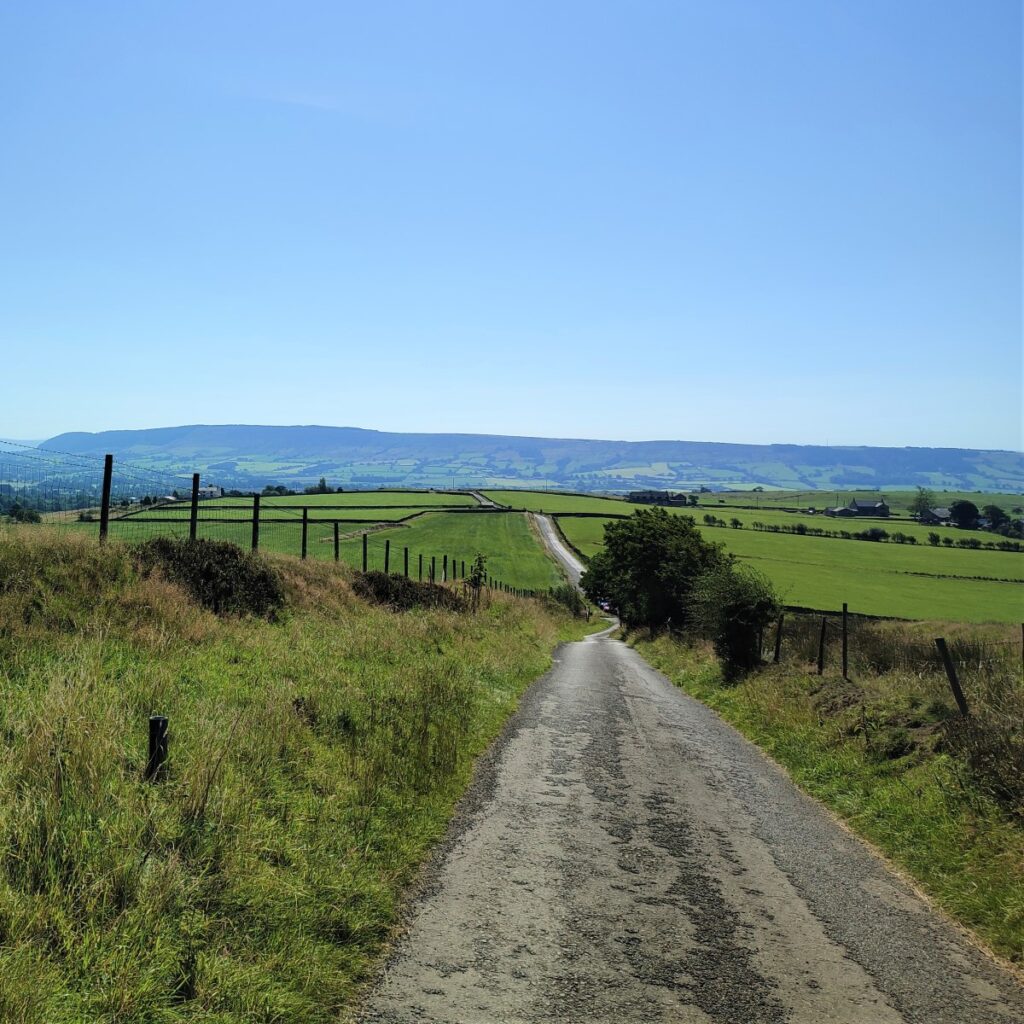
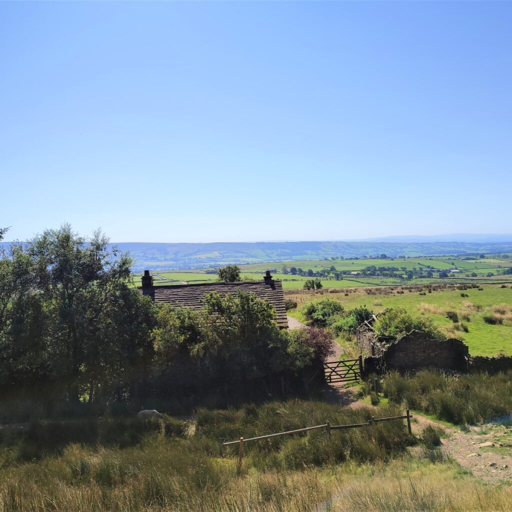
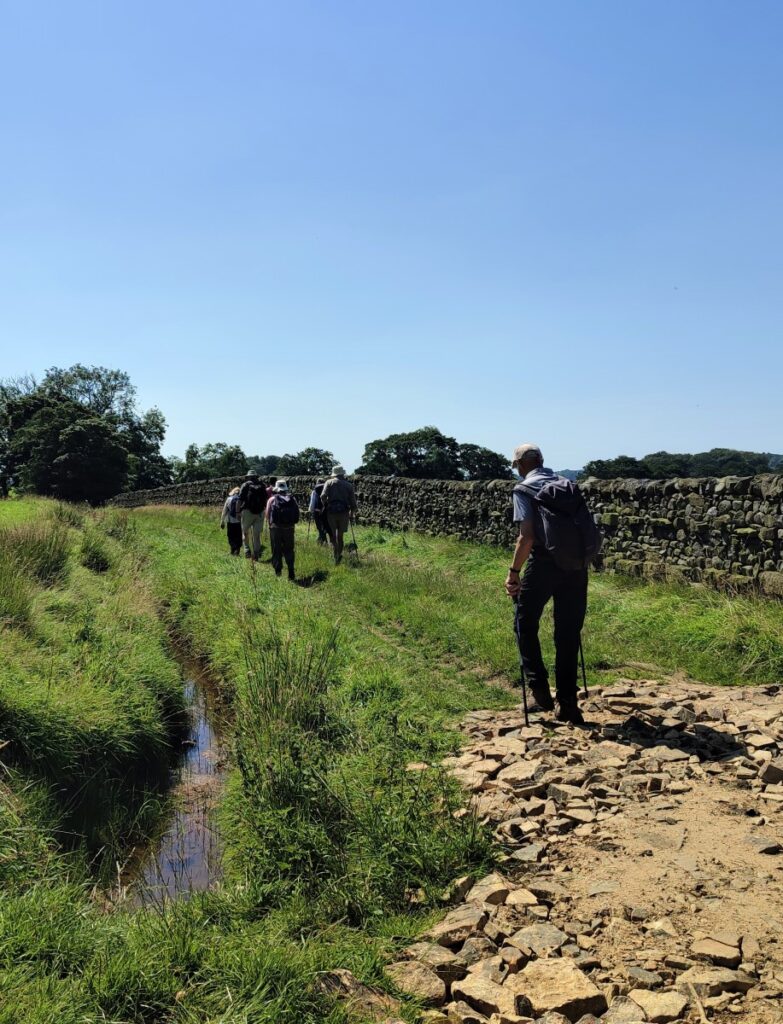
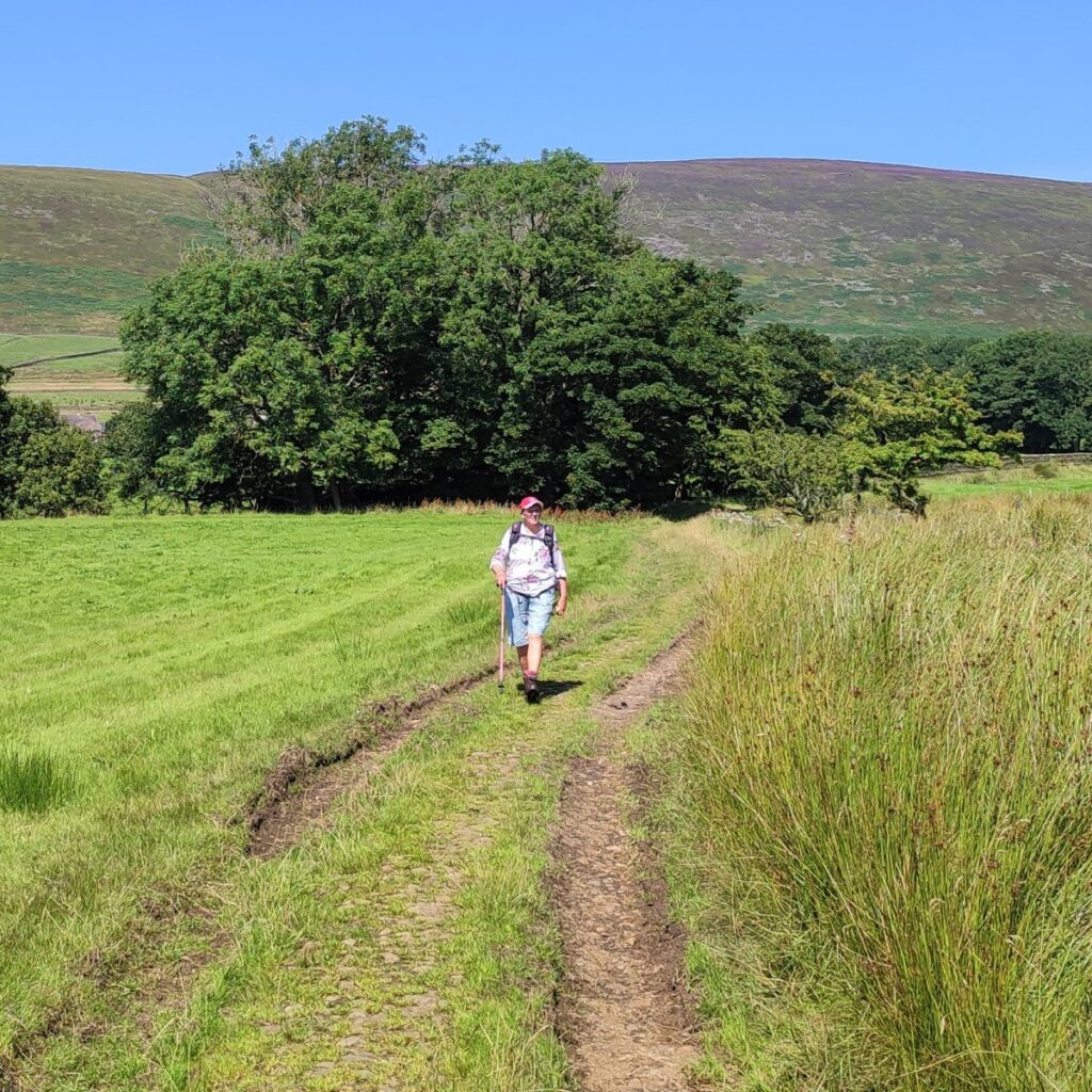
We are now on a farm lane, following the contours, so the walking at this stage is easy. Ahead of us in the distance (in a North westerly direction) is Holme House and this is where we head.
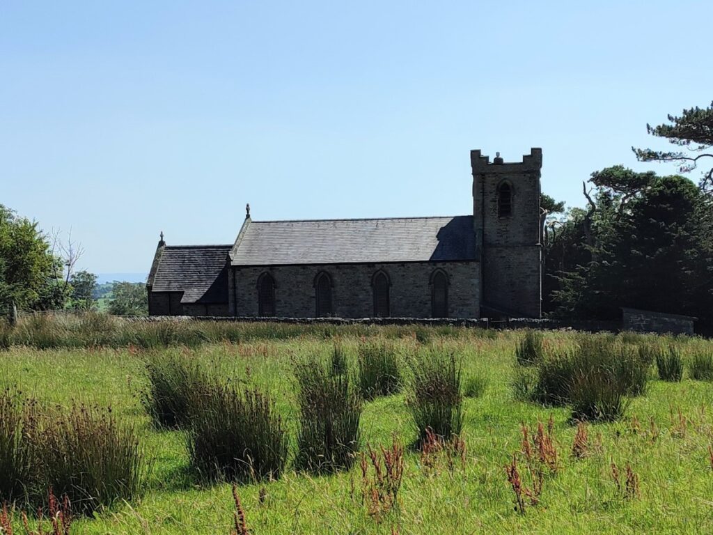
Before we get that far though, our lane arrives at another at a T junction. We go left here and follow the track as it veers left. We are now heading South with the tower of Bleasdale Church on the horizon.
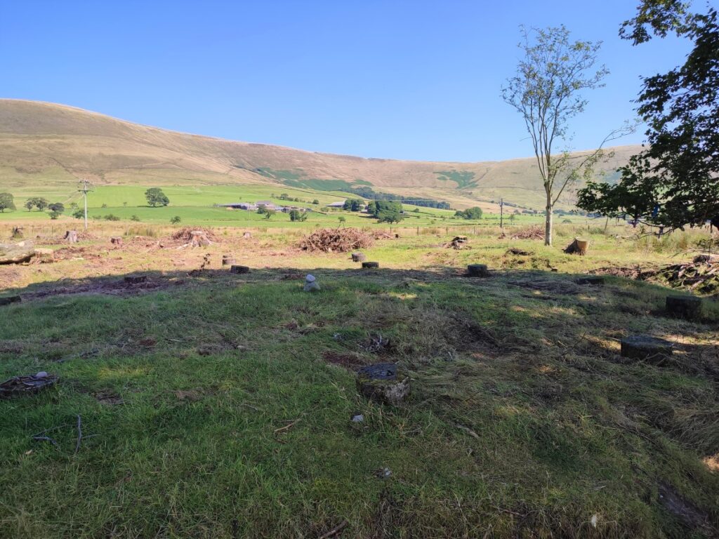
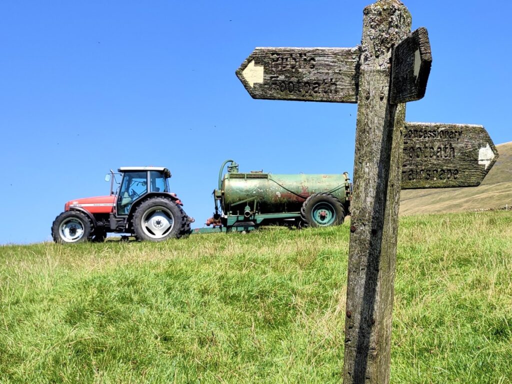
The track soon arrives at Vicarage Farm, where we see a fingerpost for Bleasdale Circle. Whether or not it’s worth taking the detour to the circle is a debateable point – at the time of our walk, forestry works were underway, and the site had more of a Somme battlefield feel than that of an ancient monument. More information regarding the circle and its history can be found here.
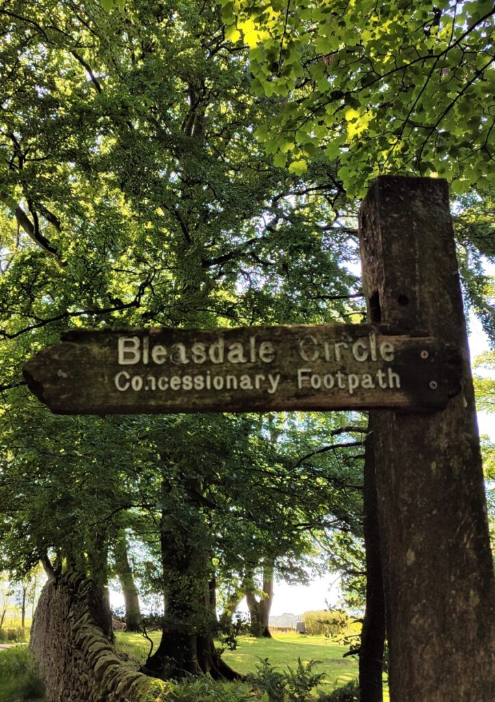

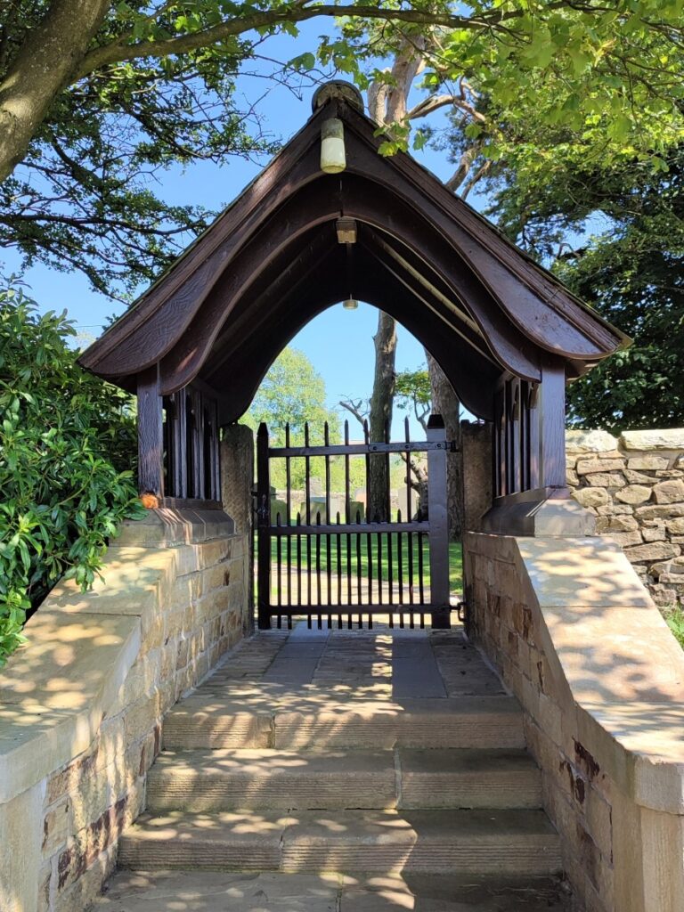
If you do take the detour to the circle, make sure you return to the fingerpost and then take the lane over toward the delightful church of St Eadmer’s at Bleasdale.
St Eadmer’s Church was rebuilt in 1835 by John Dewhurst and restored and enlarged in 1897.
It has a west tower and lancet windows. The church retains its pews and western gallery, and has a unique dedication, celebrating St Eadmer the Northumbrian monk who discovered the site of Durham Cathedral, the final resting place of St Cuthbert of Lindisfarne.
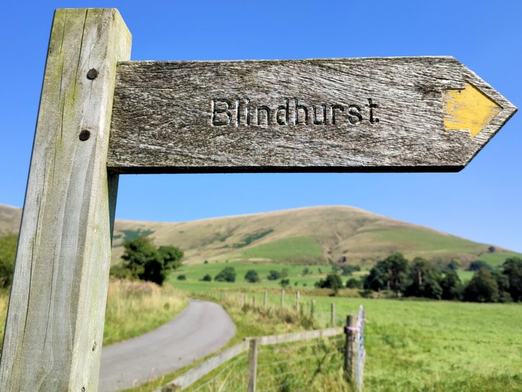
From the church we head down the road through the village, and just past the school, we take the footpath on the left, to take us East toward Blindhurst. The path here is narrow, and a little overgrown, but remains clear enough so navigation should not be a problem.
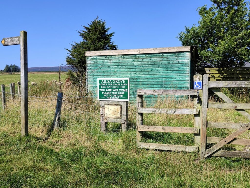
We soon arrive at a minor metalled road – which serves Lower Fair Snape. Worth noting here is the Ailsa Grove bird watching hide. We follow the road for a while now but watch carefully for a path on the right which takes us over to Blindhurst – this is well signposted.
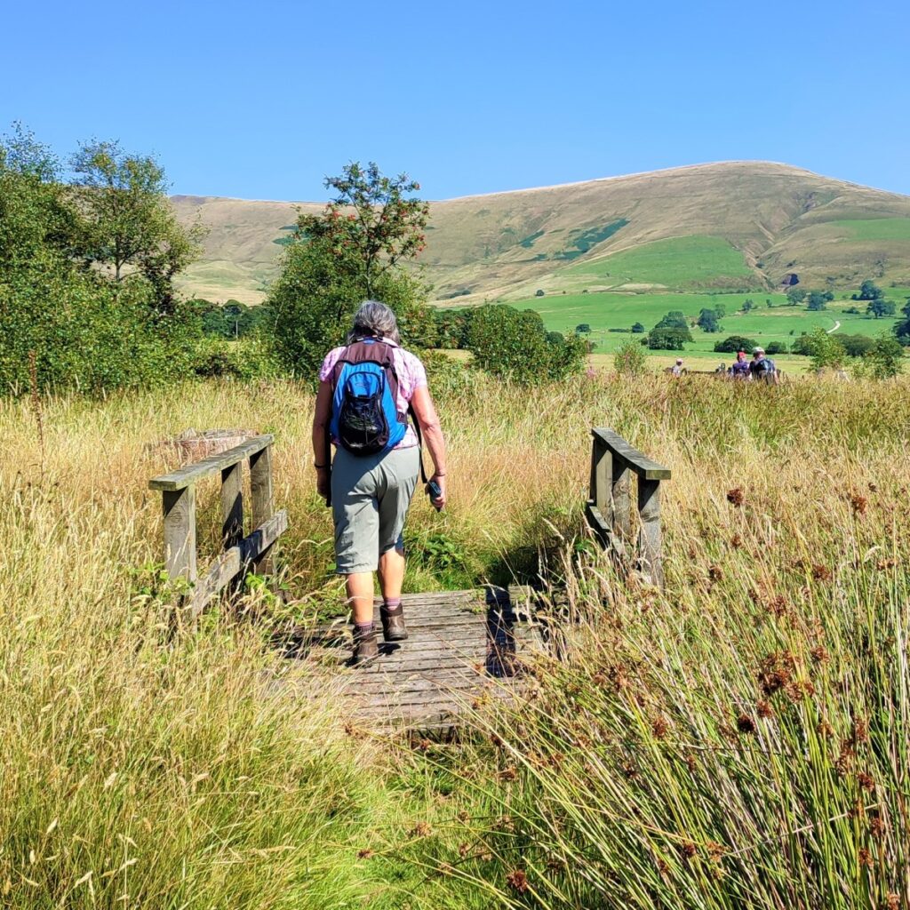
We then cross a small wooden footbridge and then a step stile which takes us onto a steep lane leading up to the farm buildings at Blindhurst.
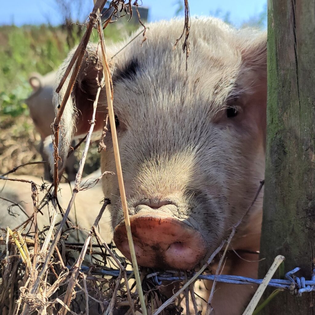
On the right as we approach the farm we see an enclosure containing pigs – not a particularly common sight in this area.
As we arrive at the farmyard, we take the path between the barns and when we see the farmhouse, take the path around the right hand side of the house.
This takes us onto a track which continues ahead, but we need to take care to head hard right, following the contours on a path that is much less clear that the lane we have just left.
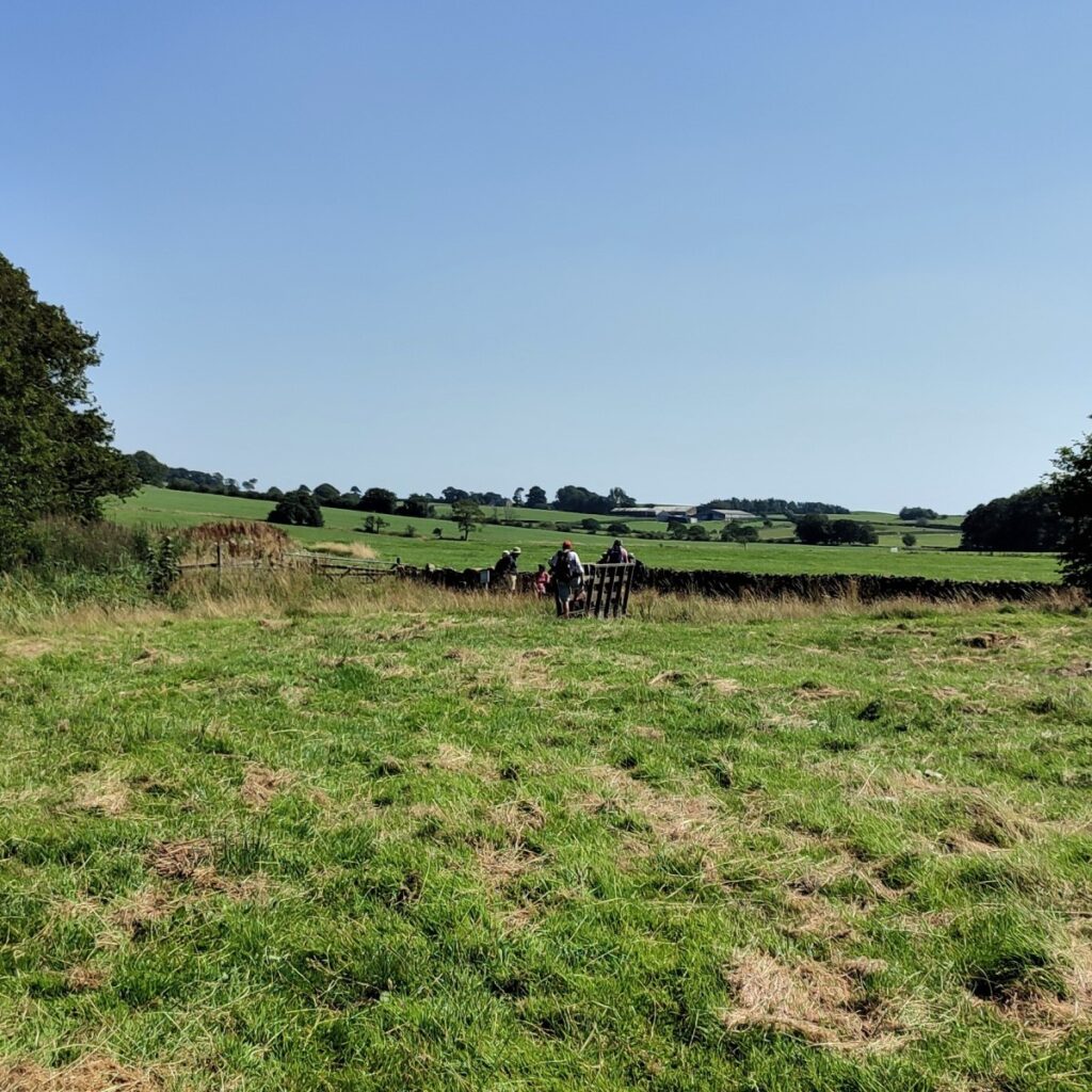
We follow this path for a while now, heading in an Easterly direction. The path heads up toward the corner of a field where we see a rather tempting stile ahead of us – this is NOT the route we take though – look further round to the right and we see a second stile in the dip at the corner of the field. This is where we need to be.
From here we continue to follow the path through pleasant pasture with cows grazing, and cross four more fields at stiles until we arrive back at a final stile which when we cross it, we see is at our staring point.
- Total distance 14.2km (8.8 miles) – includes extension to Bleasdale Circle
- Total Ascent 594 m
- Moderate walk