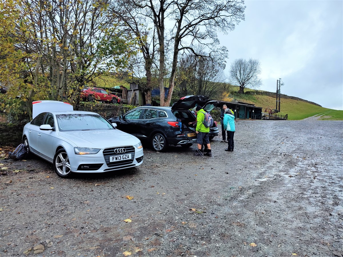
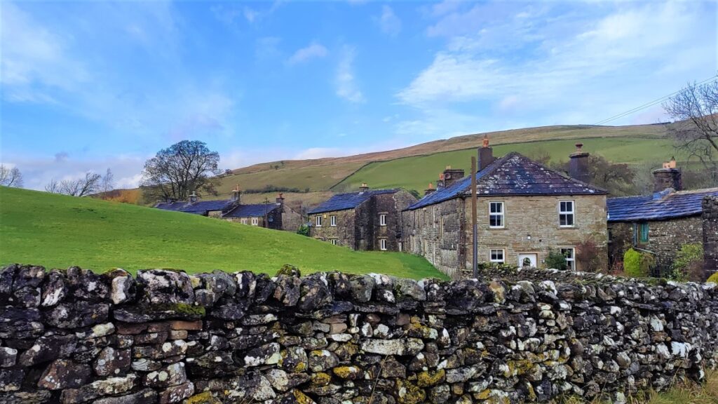
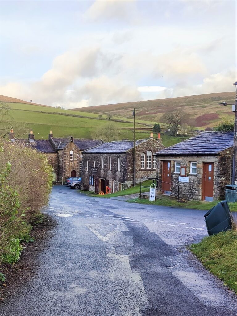
Swaledale is a great place to walk, and Keld is always a good place to start; There is convenient parking at Park Lodge farmyard with a handy tearoom serving locally made ice creams during the summer season.
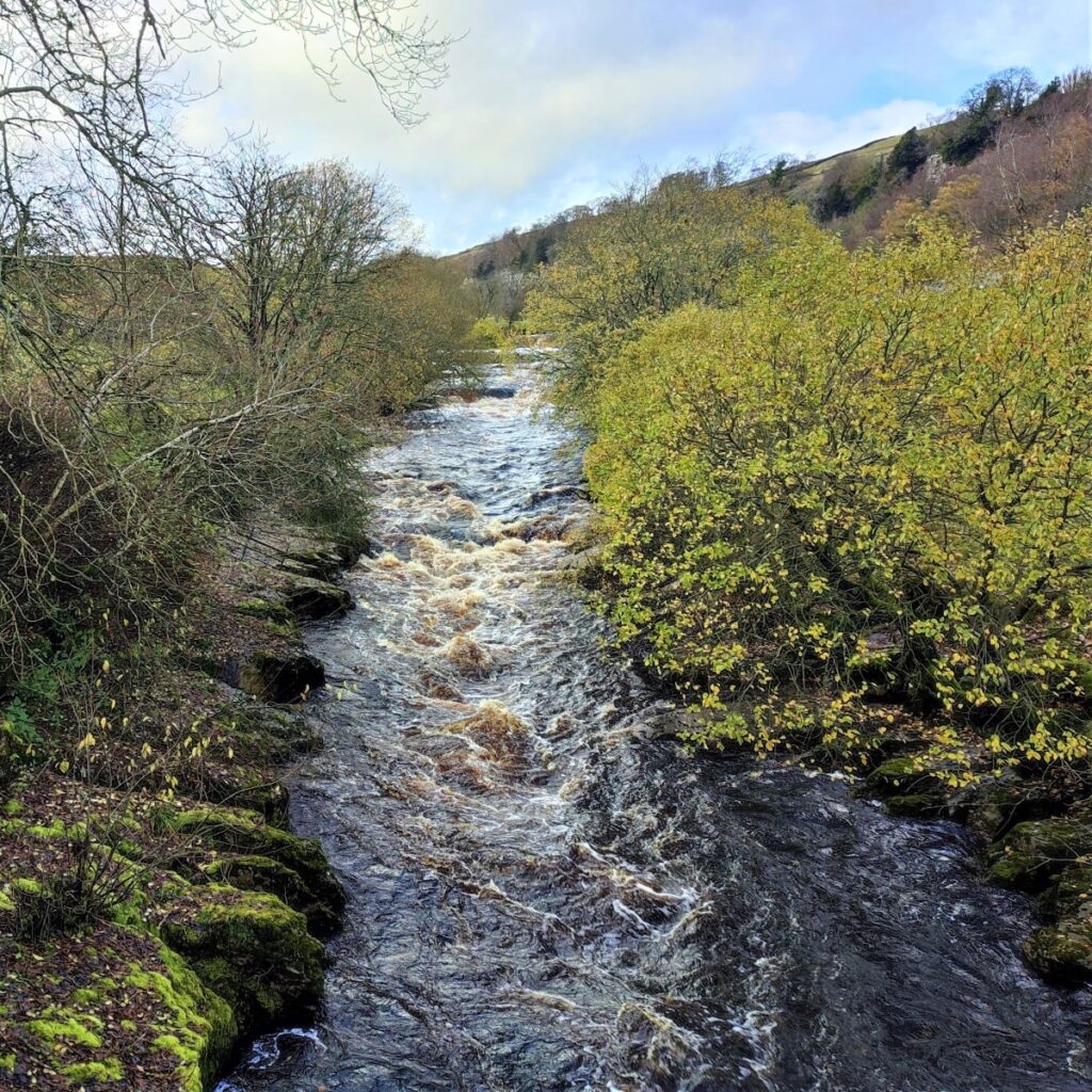
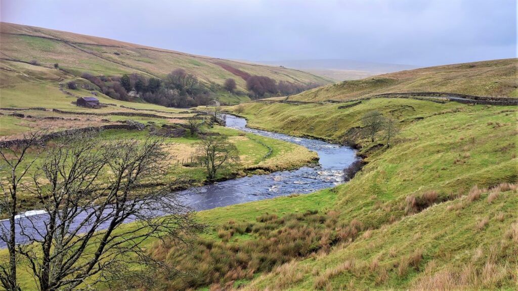
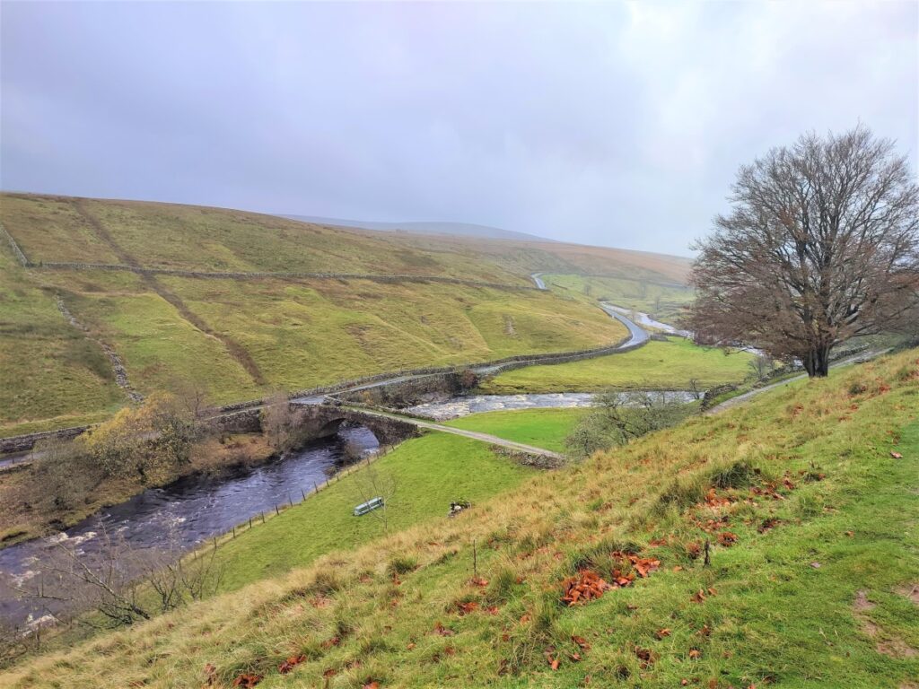
Swaledale is famous for its fast flowing river, and this is so because a number of side dales each with their own river merge with the Swale within a short distance of each other.
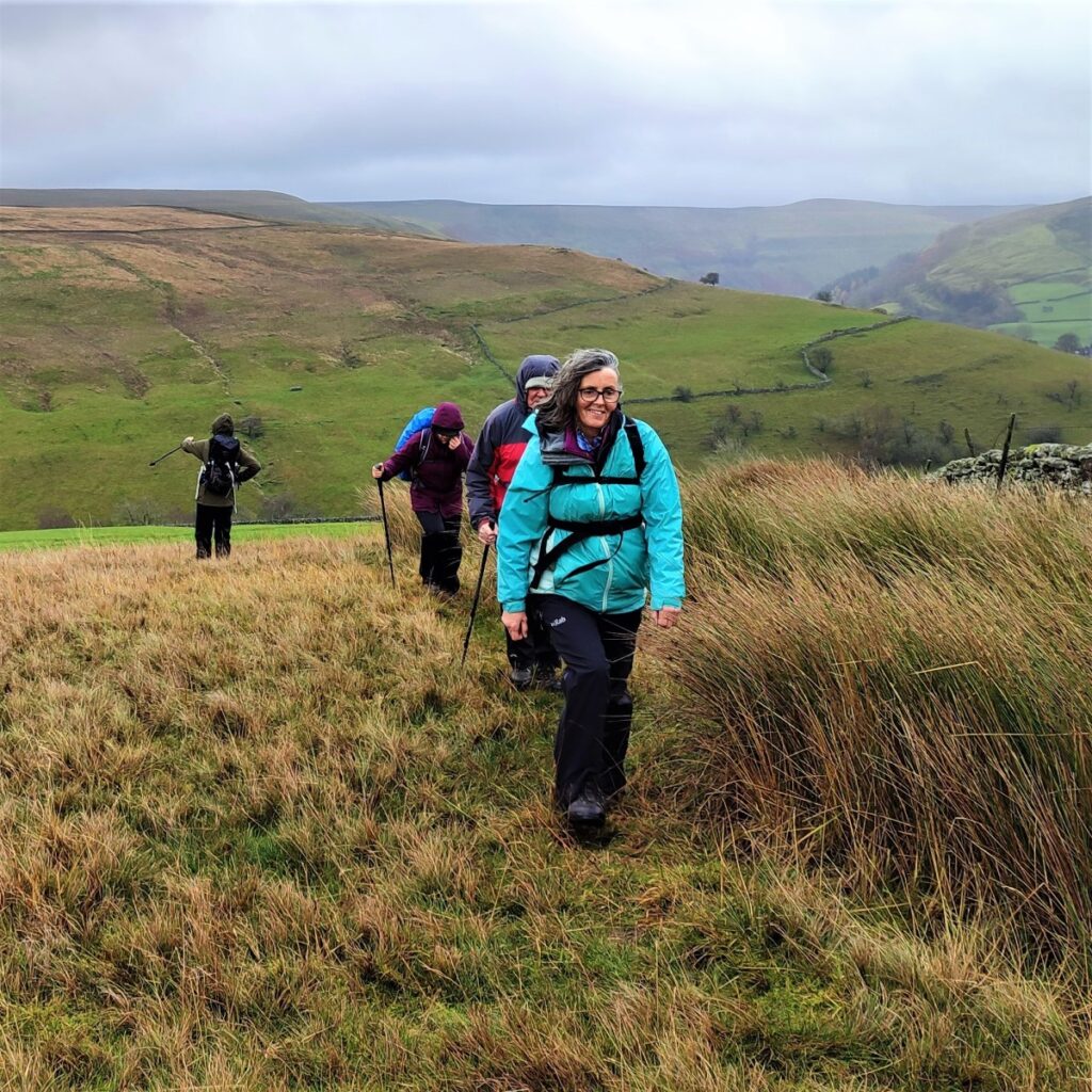
As well as Swaledale itself, this moderate walk visits three of the side dales that connect with Swaledale – East Stonesdale, West Stonesdale and Whitsundale.
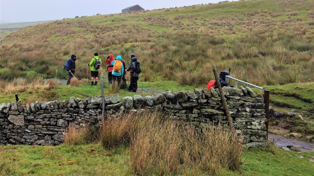
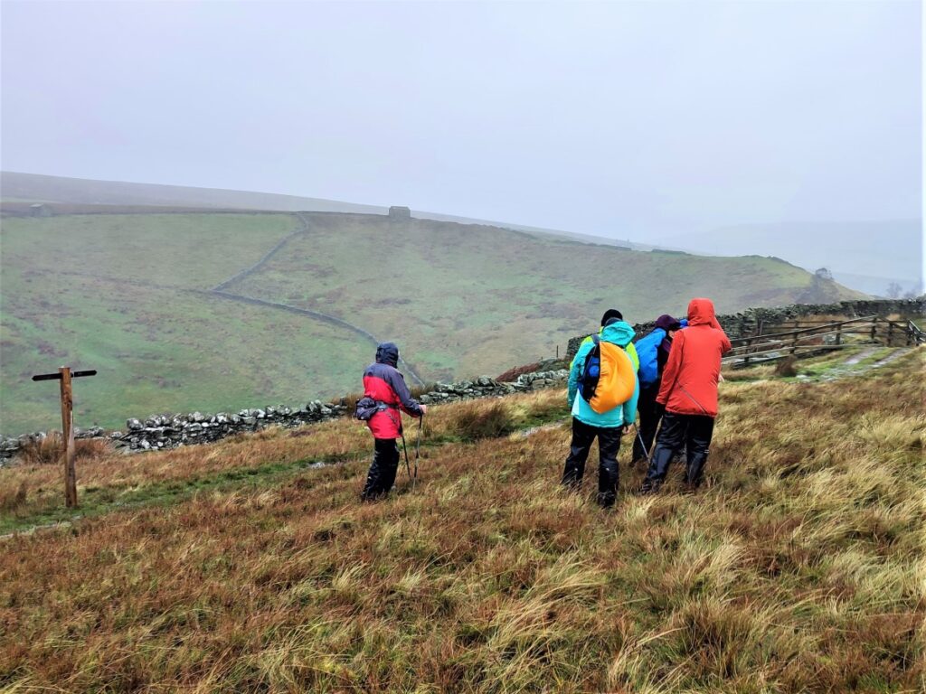
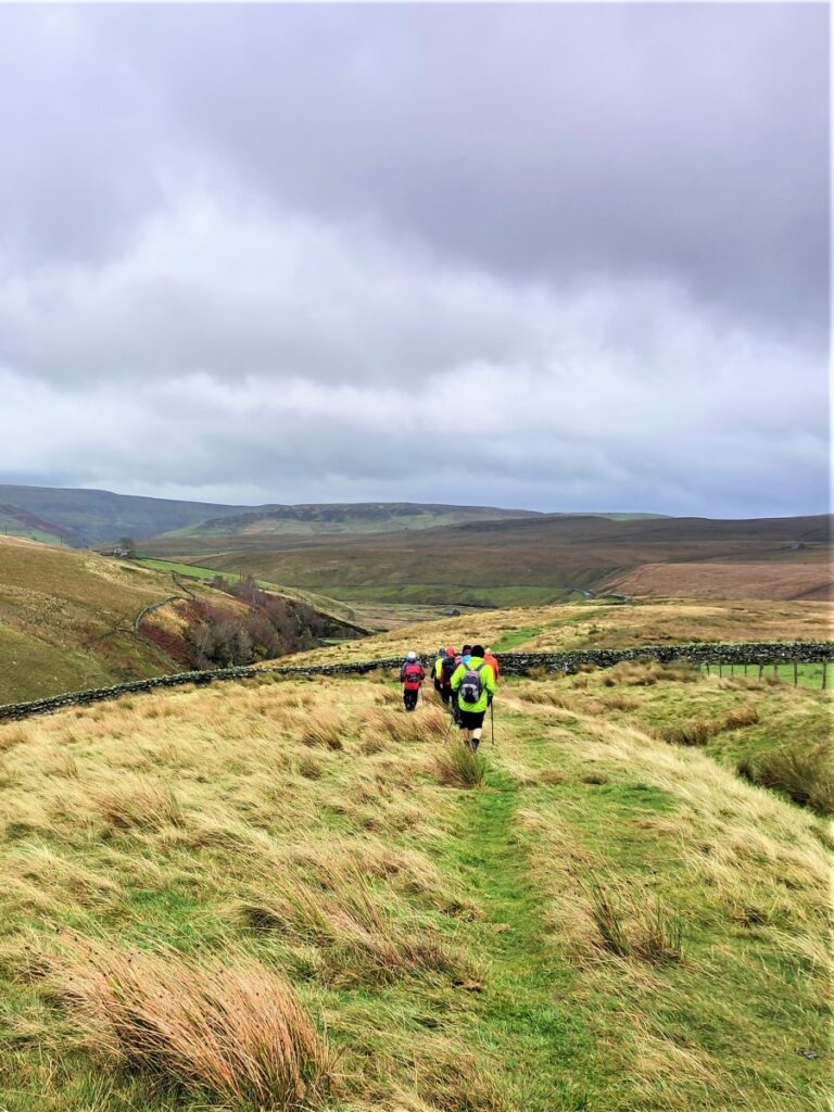
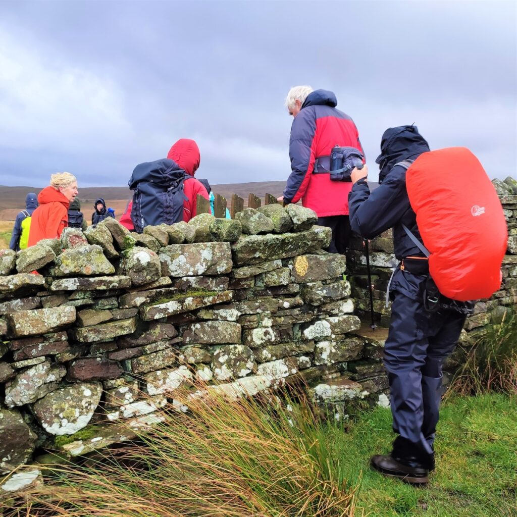
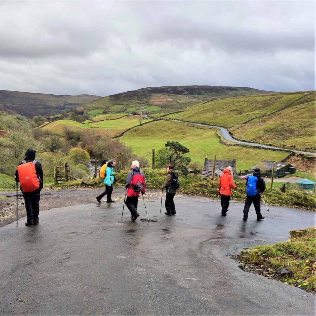
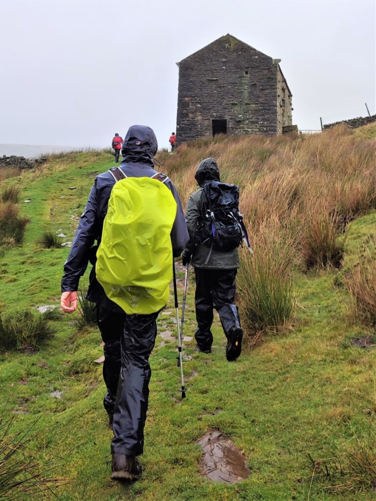
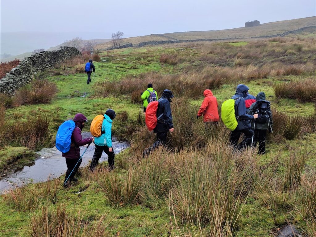
Most of the route is on clearly marked paths – some of them long distance routes, and there is some road walking on quiet roads, so navigation should be simple. Be aware through that Swaledale can be very wet, and as you can see from the gallery, winter walks in this area can damp and windy. Don’t let that put you off though – this is a walk to savour at any time of the year.
We start at Keld, which is on the B6270 between Reeth and Kirby Stephen, although if you are travelling from Bentham the best route is via Hawes and then the Butter Tubs Pass.
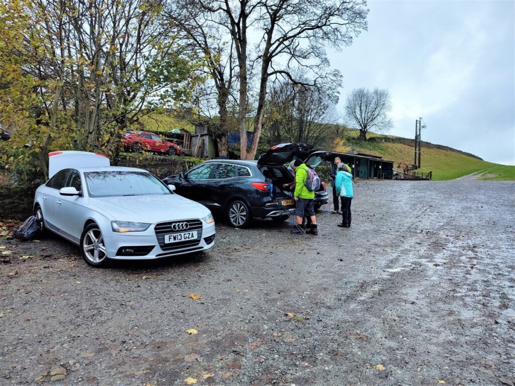
From the B6270, look for signs that say “Keld Only” and follow the road down into this small and very attractive village. As you approach what appears to be a dead end you will find parking – and toilets – on the left at Park Lodge farm – where an honesty box system is in operation.
Satnav users can enter the postcode of the camp site behind the car park – DL11 6LJ. If you prefer paper maps the grid reference is SD66566936, and for fans of what-3words, the tag for the car park is troll.fail.strongly.
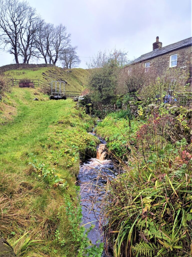
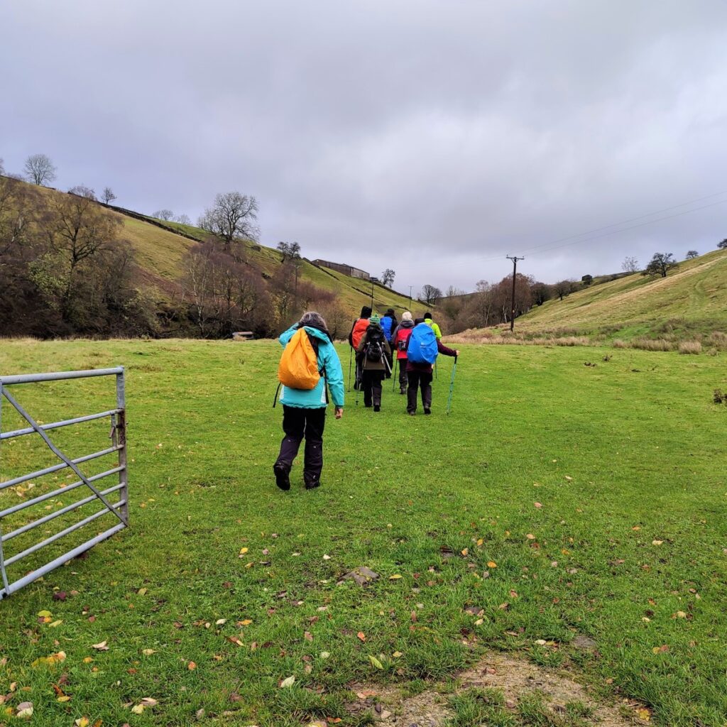
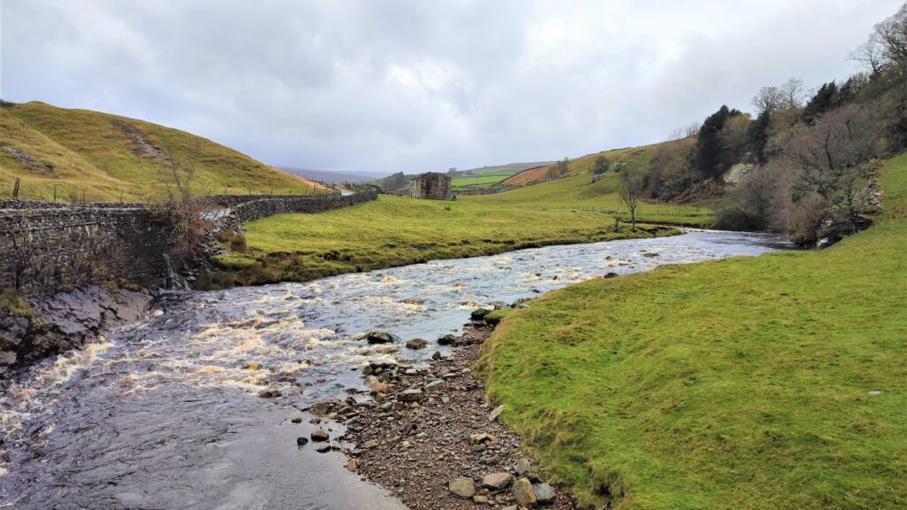
Having paid for parking, we set off back past the cottages we passed on the way into the car park to head downstream along the Swale with the River on our left at this point.
Ahead we see an information board giving useful and interesting information about Keld – the name derives from the Viking word Kelda meaning a spring and the village was historically called Appletre Kelde – meaning the spring near the apple trees. Springs are a key feature of Swaledale, and after significant rain you will easily spot many of them along this walk.
Despite its isolated location, Keld was once an important centre for lead mining and its population is believed to have been as high as 6,000 during the mid-19th century. Today, though, it is no more than 100.
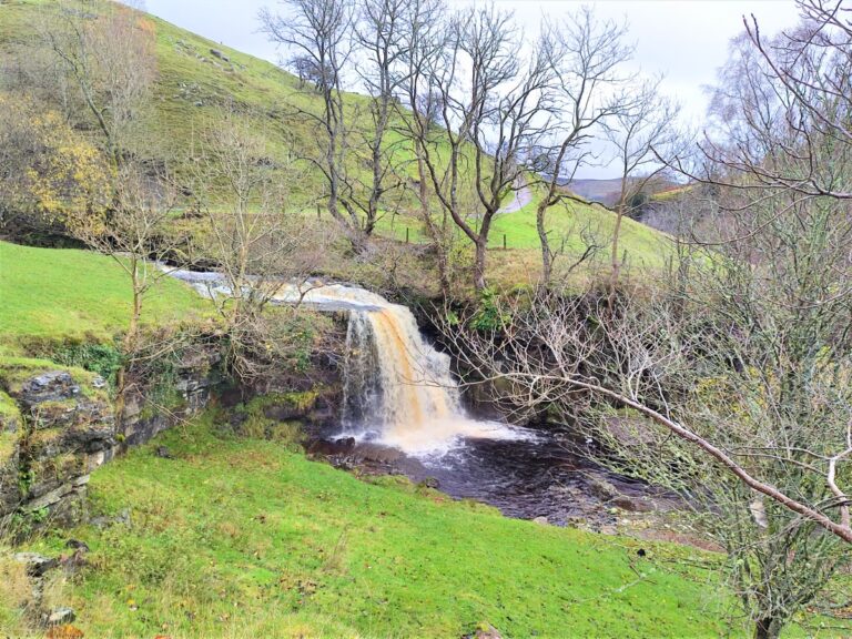
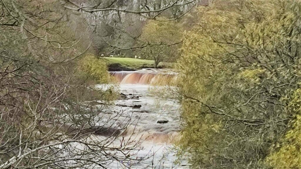
Easily accessible from Keld – and highlighted on the information board are four waterfalls.
Kisdon Force to the south drops 10 metres and is surrounded by Kisdon Force Woods, which has been designated as a Site of Special Scientific Interest due to its flora and fauna.
East Gill Force is less dramatic but well worth visiting – it’s part of this walk, while Wain Wath Force and Catrake Force further upstream are popular spots for white water rafters.
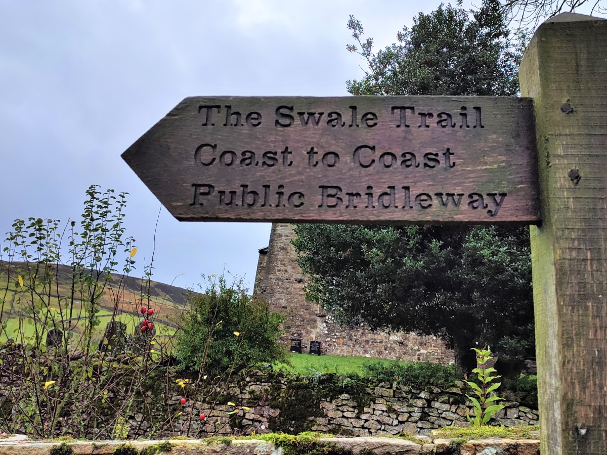
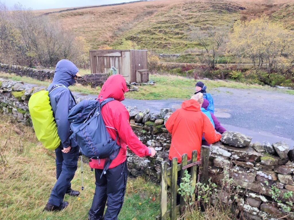
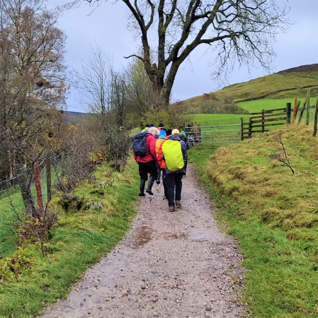
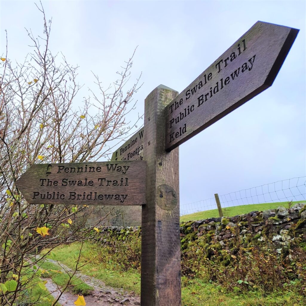
Next to the information board is the fingerpost indicating our initial route – the Coast to Coast bridleway. This takes us along a well surfaced path just below the church and its graveyard. We soon arrive at a fork in the path, and we take left, now signposted as Pennine Way and Swale Trail and head downhill to the river using a track with brick paving presumably designed to allow horses to gain secure traction as they dragged carts up the steep slope.
We cross the footbridge over the Swale and are met by the East Gill Force waterfall. This is a very popular and convenient picnic location during the summer.
From here the path snakes round and then rises to meet a broad track where we head left to approach some farm buildings. At this point the Pennine Way forks right and heads off uphill – but we carry on between the buildings and along the track to the left – essentially, we are walking up the Swale valley on a gentle slope.
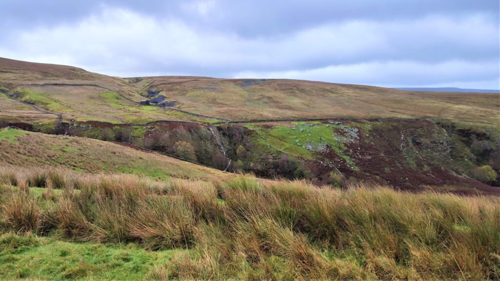
We keep to this track for a while now – with views across the valley toward the fell at Keld Side on our left and the ridge of Black Moor which separates East Stonesdale and West Stonesdale on our right.
As the track takes a clear left turn to cross a beck, we look out for a wide metal gate which takes us into a field where we follow the beck upstream keeping the water on our left hand side.
The track we were previously on eventually meets a minor road called Stonesdale Lane – this is (twice) part of our route later in the day, so if you meet the metalled road at this stage, back-track and find the gate – or turn left and head downhill for a much shorter version of the walk!
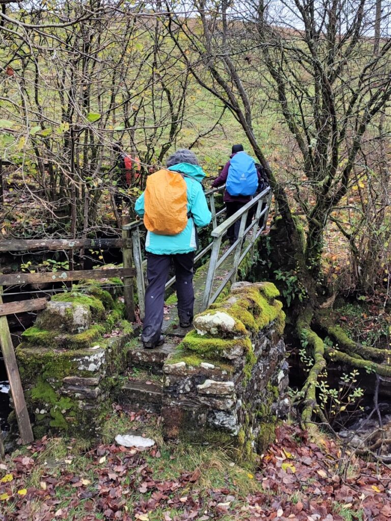
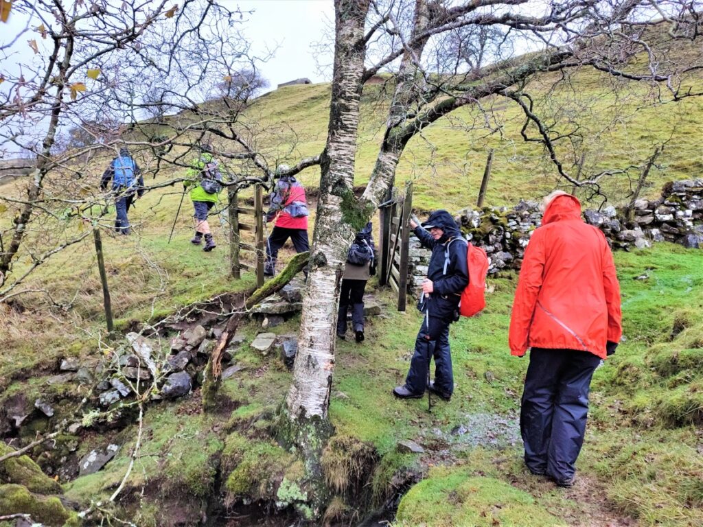
Carrying on up the beck, we cross a field boundary at a wooden gate, and then look out on the left for a small footbridge over the beck. We cross and then head left and steeply uphill aiming for the left hand end of the farm buildings we see looming above us.
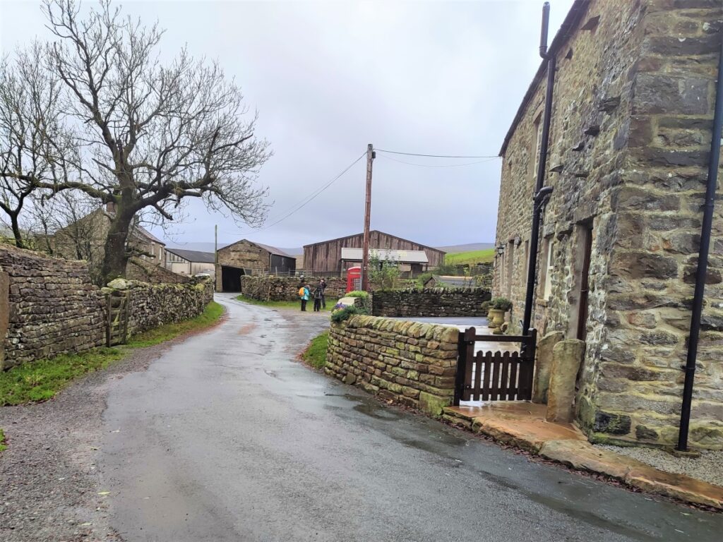
As we come round the side of the farm buildings, we find Stonesdale Lane and look for a telephone box on the right. Near this is the path on the right heading uphill next to a small stream. There is a convenient place to rest at the roadside, and this is perhaps good place for a fortifying drink before pressing on.
We are now in West Stonesdale and head uphill initially right next to the beck – which should be on our right hand side. As we progress though we stay closer to the wall on the left and the beck soon disappears from view.
We follow the general direction of the wall for a while now – although the path does not run immediately along the wall so don’t be too concerned if you loose sight of the wall from time to time. The path should remain clear.
As we progress, our path bears round to the left a little to follow the contours – ahead of us and further uphill is Tom Hags Tarn. Given that tarns are so unusual in the Dales, it might be worth adding a little to the walk to see it.
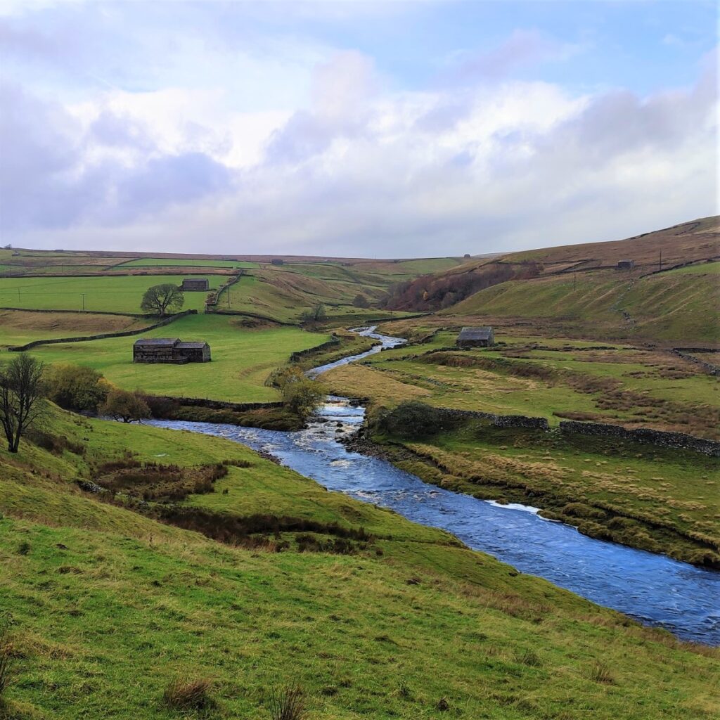
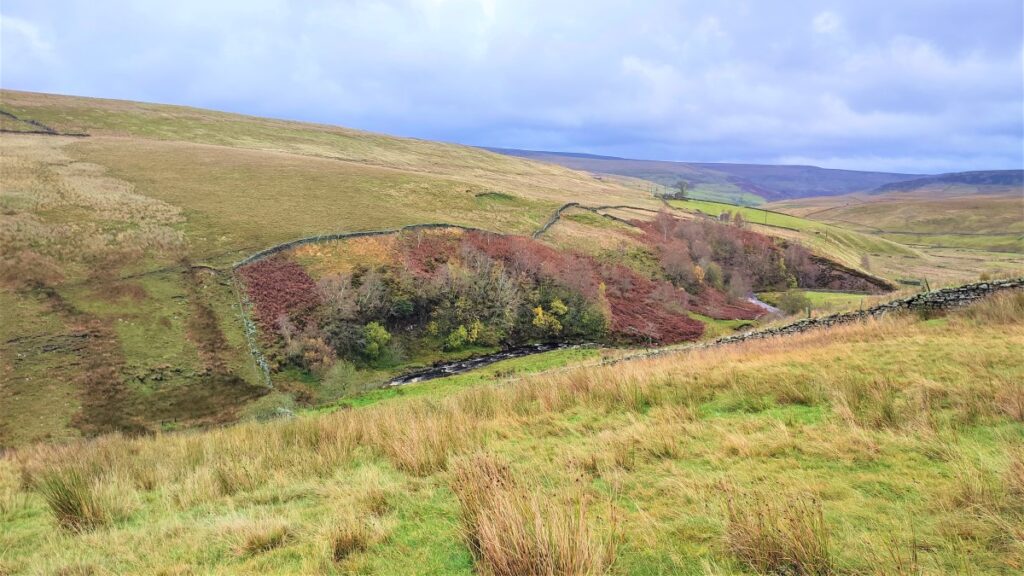
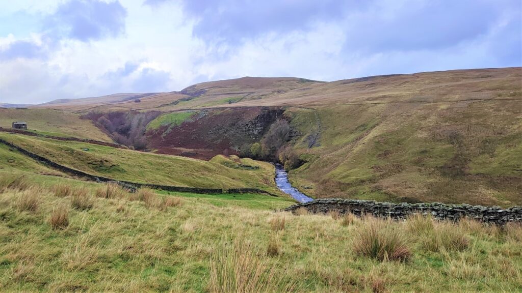
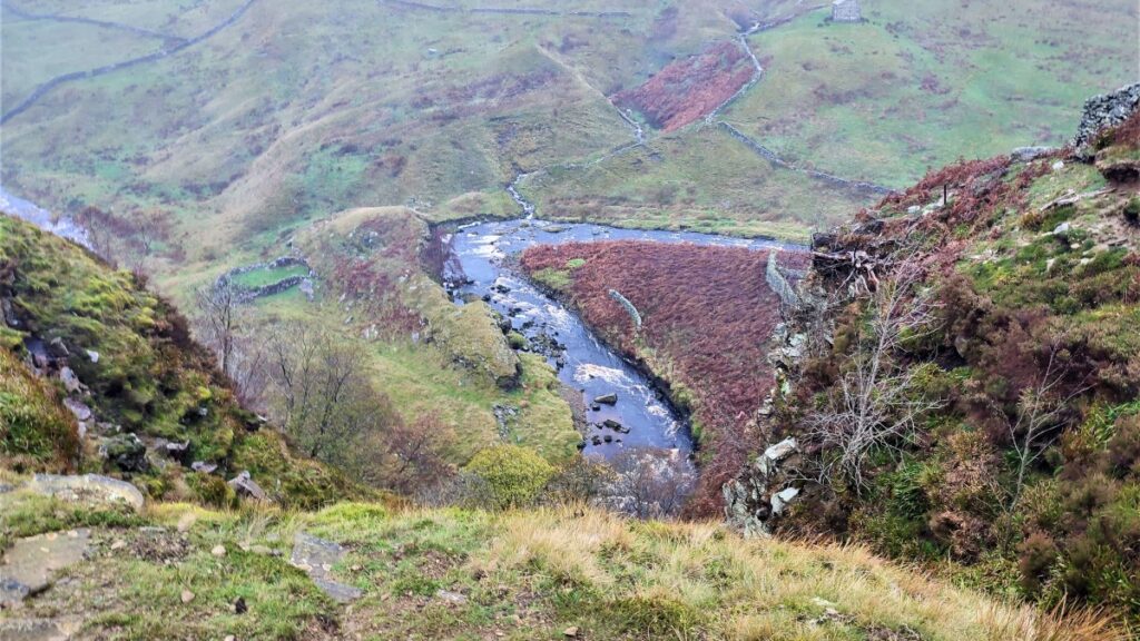
The path now heads consistently West – we are following the contours of West Stonesdale Out Pasture with the Swale to our left. Soon though, the path comes round to the right – still following the contours and we find that we are now following the course of Reynoldson Sike as it tumbles down Whitsun Dale into the Swale.
There is a steep drop to the Sike – these are the How Edge Scars, so take care when viewing the river below.
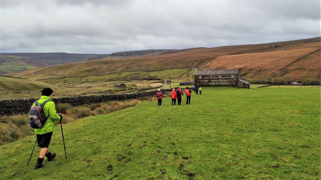
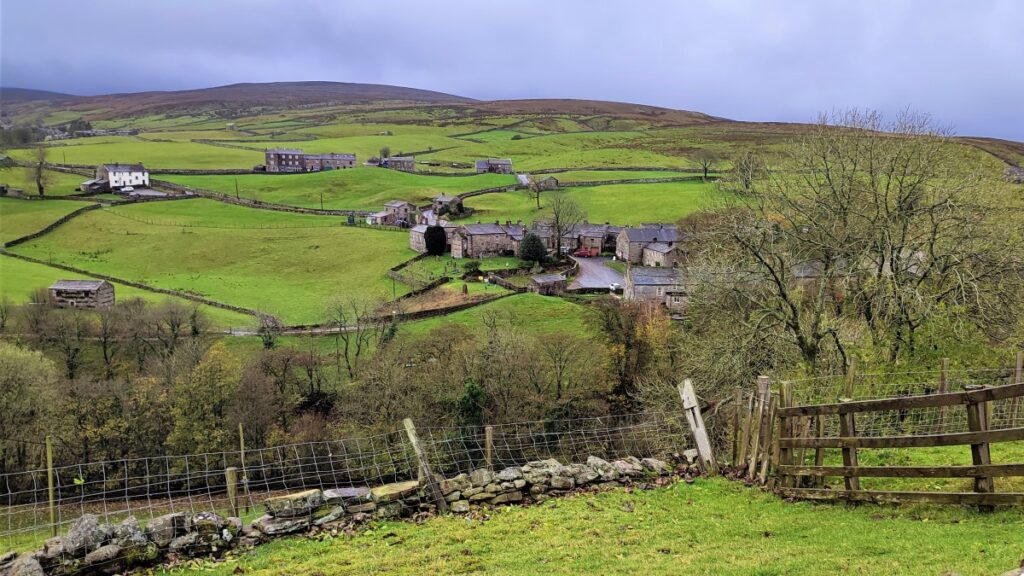
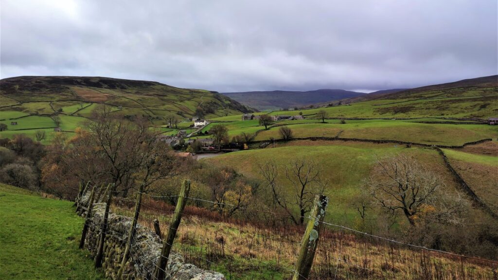
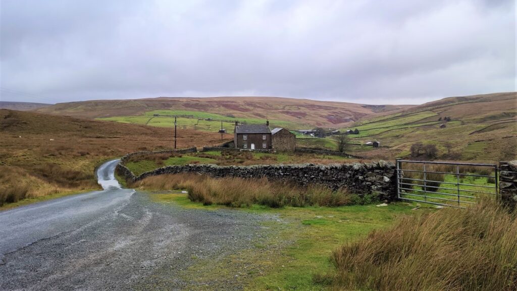
The path has now come round to a Northwest direction, but should remain clear at all times, and we follow it as far as Ravenseat where we find a cluster of farm buildings.
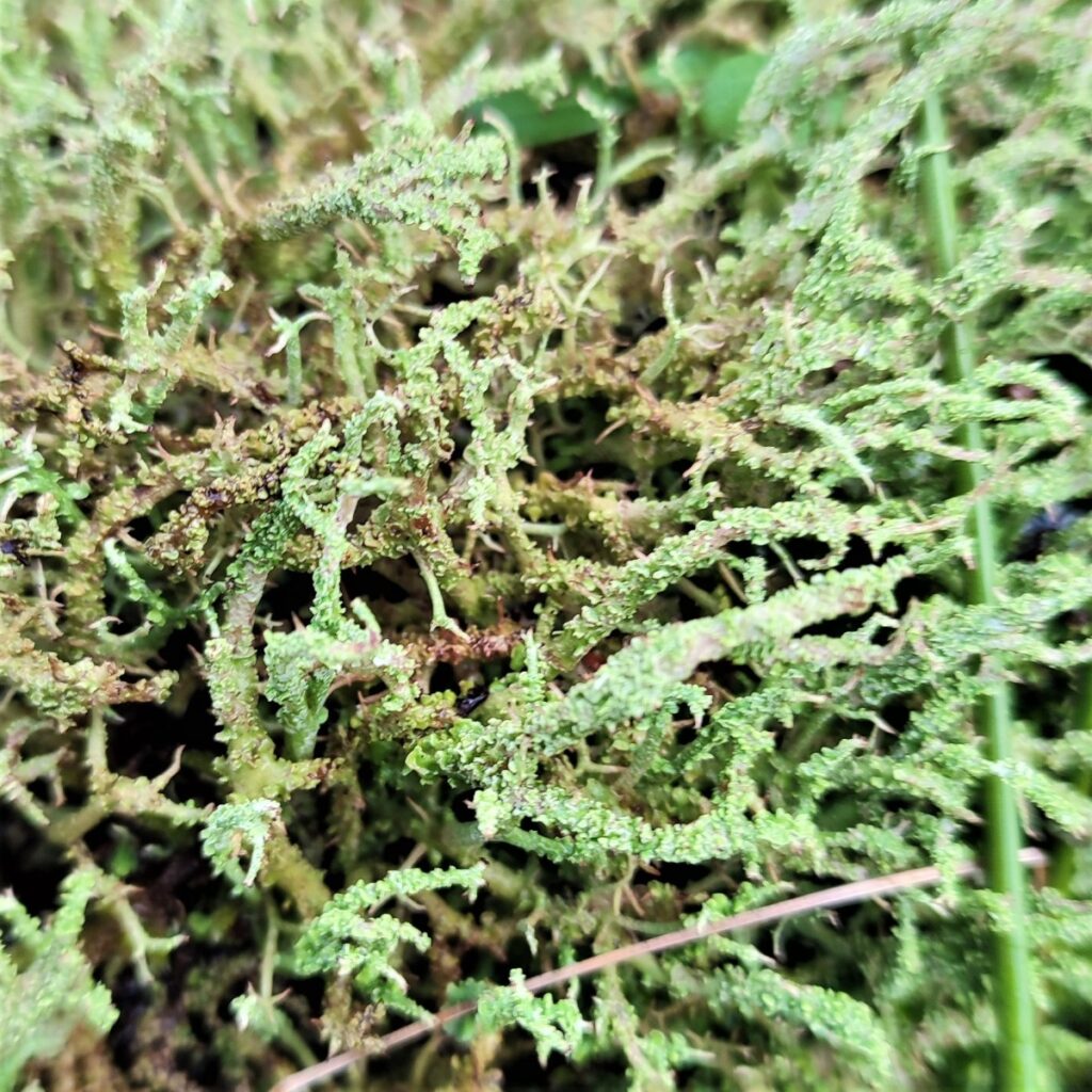
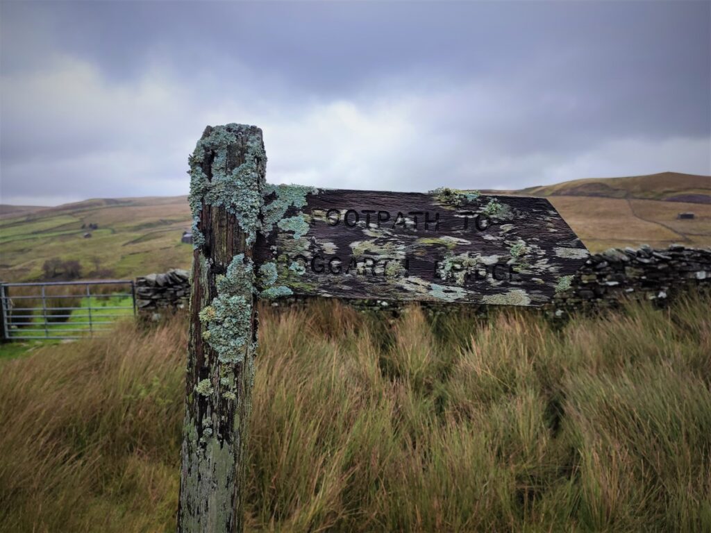
At the farm we turn left and cross a stone bridge (or a ford if you prefer) over the Sike on a very minor metalled road. We follow this road for a while now – our direction is to the South. A barely noticeable fork sees a track leave on the right, but we press on along the road passing a farm at Black Howe on our left before the footpath leaves the road – the path is signposted, but lichen growth makes it easy to miss so take care.
We now have a drystone wall on our left and follow this for a while, crossing a number of stiles as the path bends round to the South – the route is clearly visible at all times.
We are now walking down the opposite side of Reynoldson Sike and have a good view of the How Edge Scars that we passed earlier – the magnitude of the drop is more noticeable from this South side.
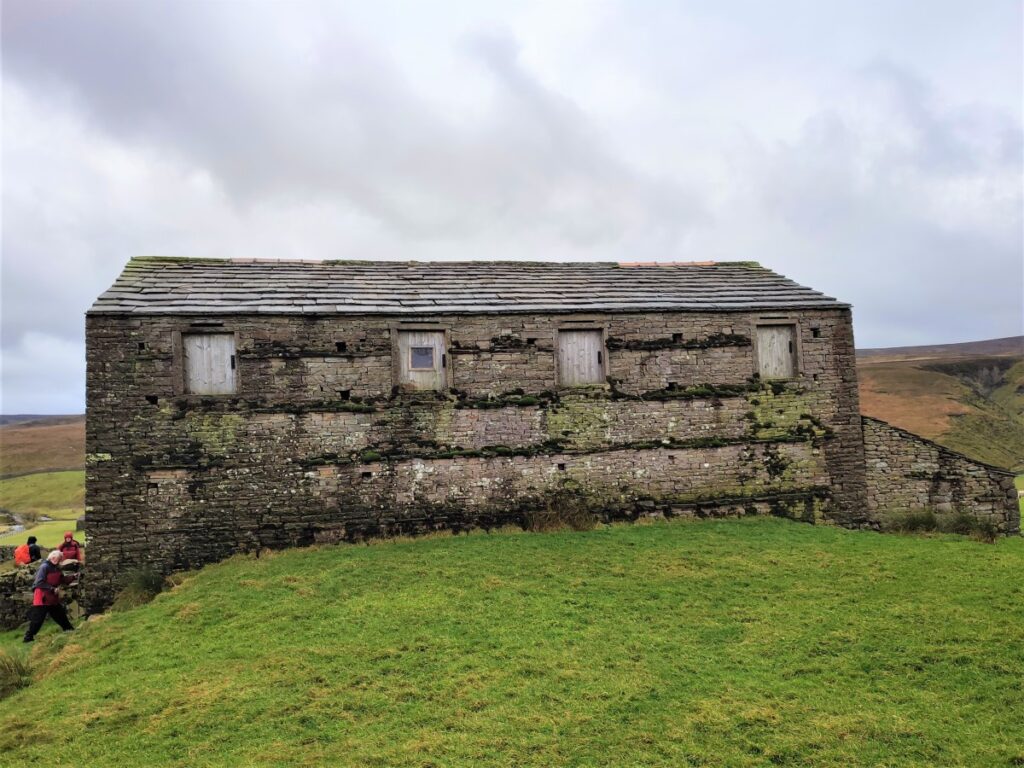
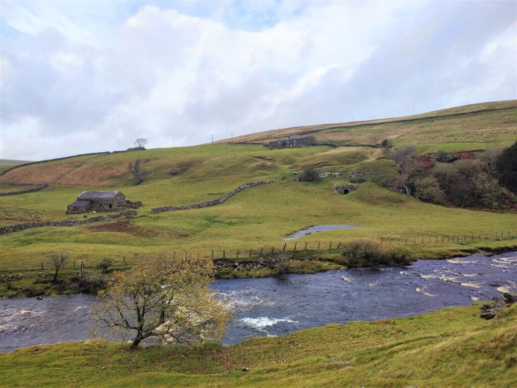
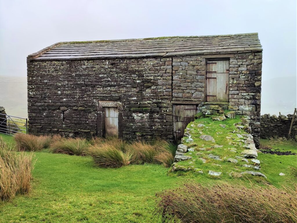
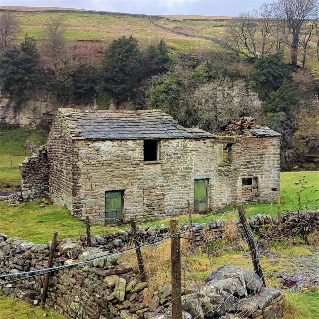
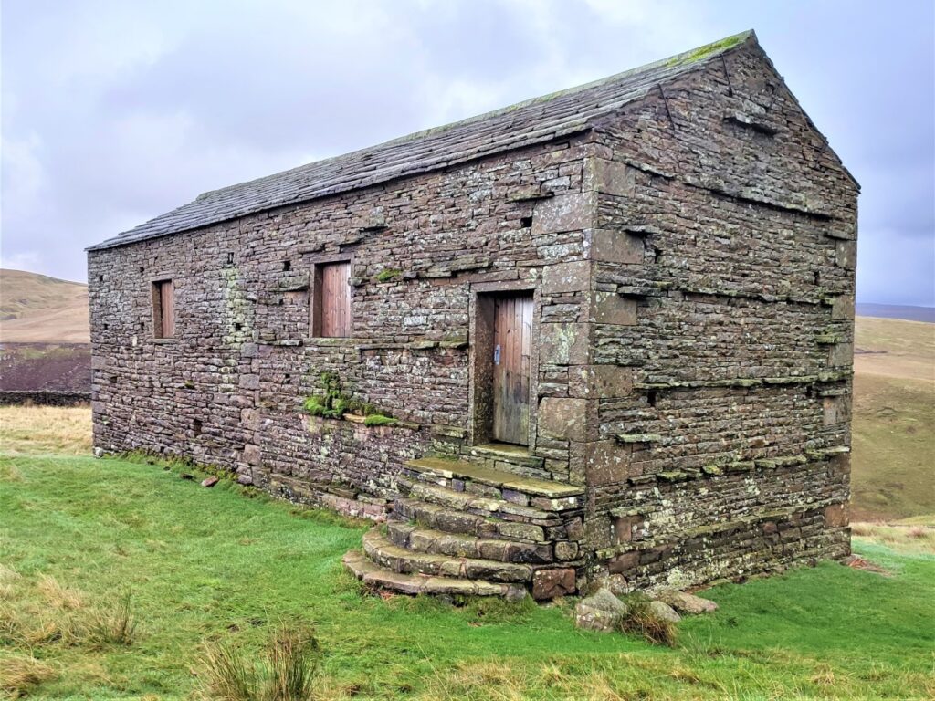
We now walk in a good straight line along a clear path in a South-easterly direction, following the line of the Sike which remains on our left – in doing so we pass a number of very traditional Swaledale Barns in variable states of repair.
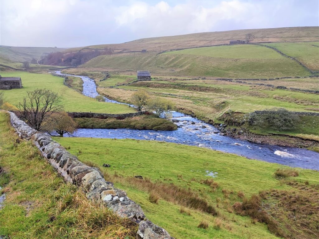
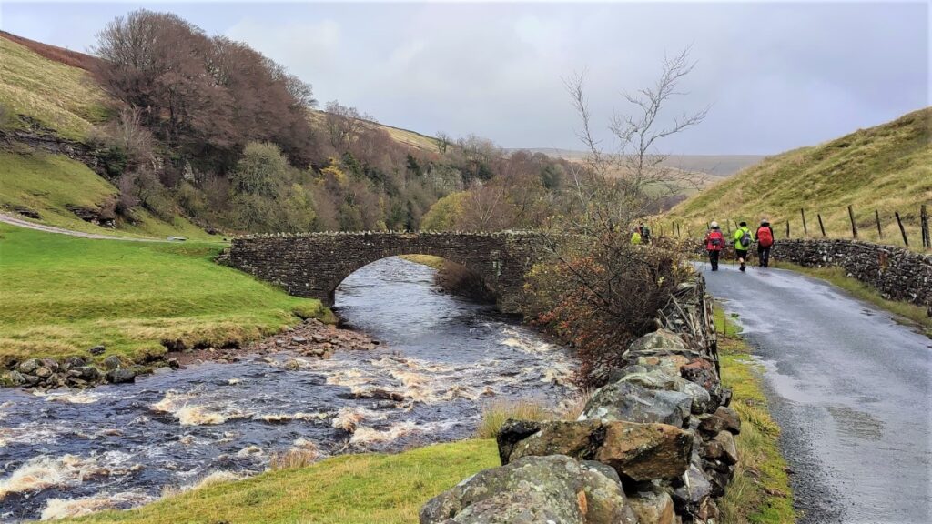
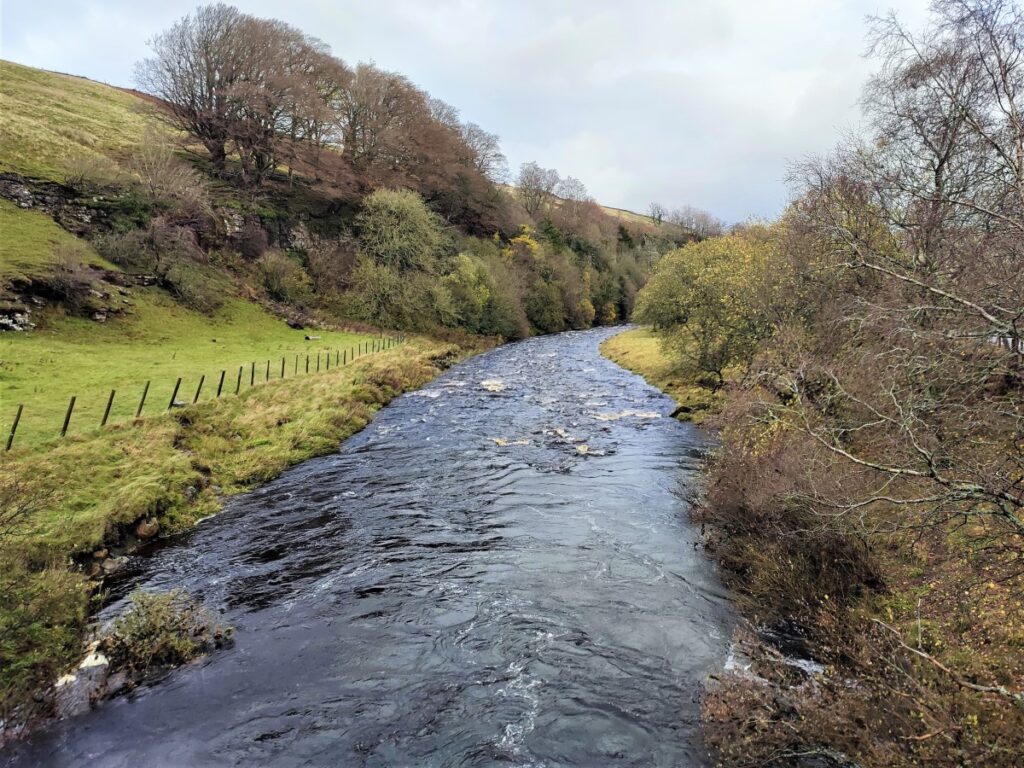
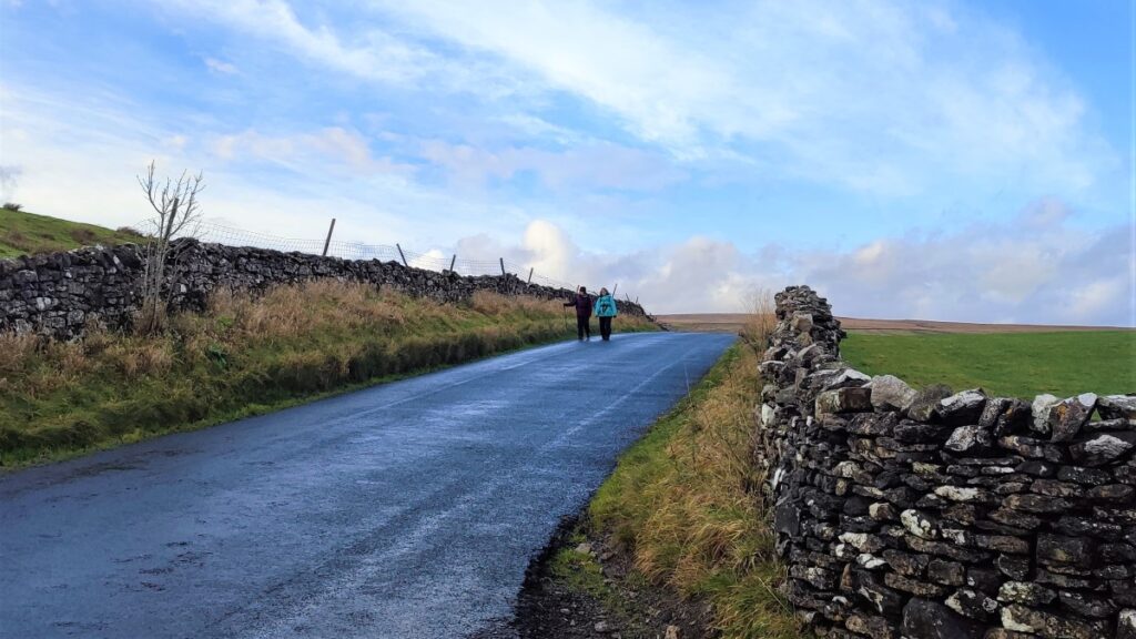
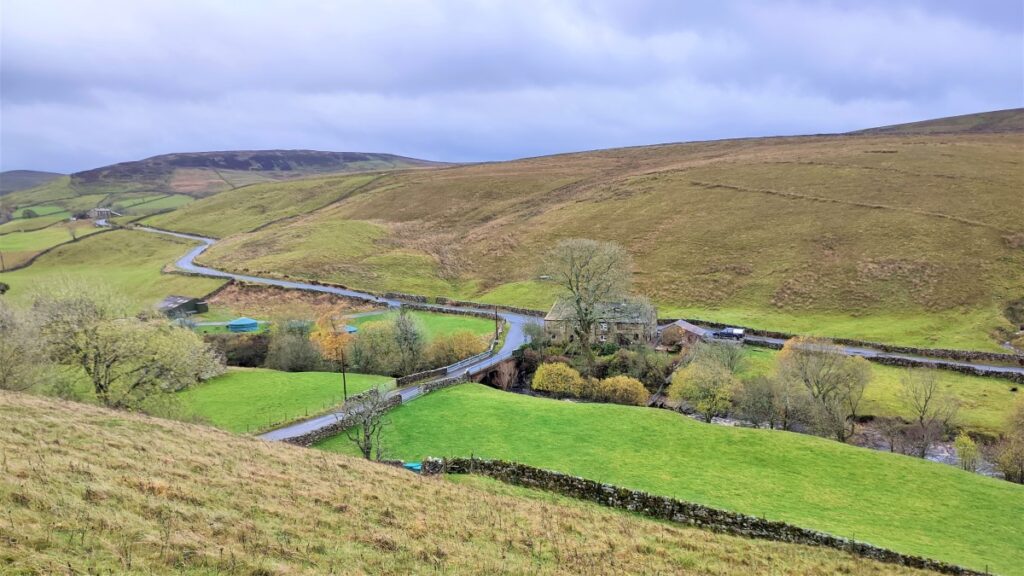
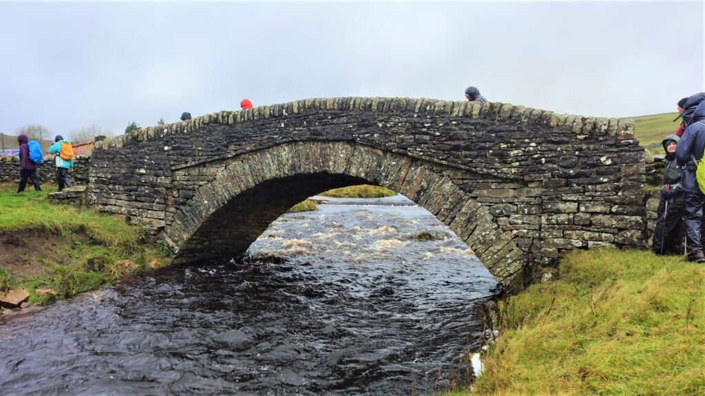
Eventually, the path turns a little to the left and heads downhill to a stile onto a road. We are back on the B6270, and now next to the Swale at High Bridge. We turn left along the road which takes us over the bridge such that the Swale is now on our left, as we start our walk back to Keld. The road is generally quiet – but obviously care is needed as we view the Swale and its confluence with the Sike on our left.
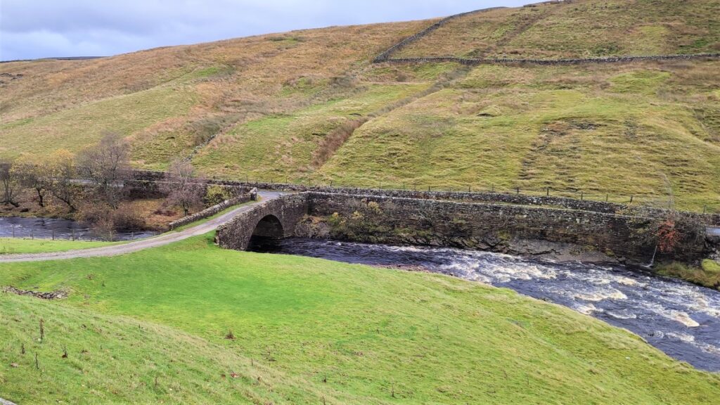
We follow the road until we see a further stone bridge over the Swale on our left – you will also see the characteristic shape of a lime kiln just above the bridge.
We cross the bridge and then head left up the lane, past the lime kiln, and then sharp right at a way marker post such that we almost reverse our direction to continue downstream now with the Swale on our right – but a good deal lower than our path.
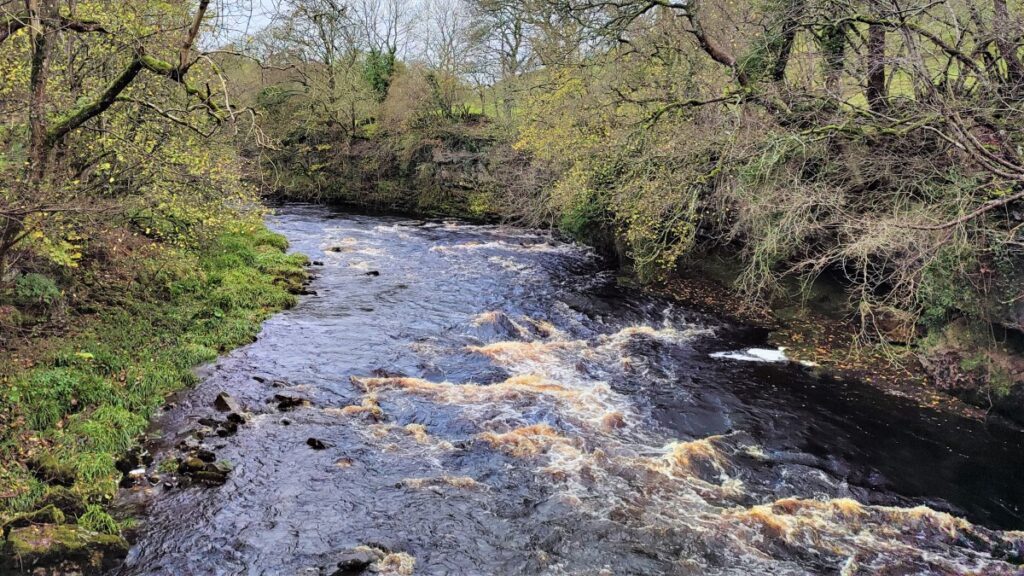
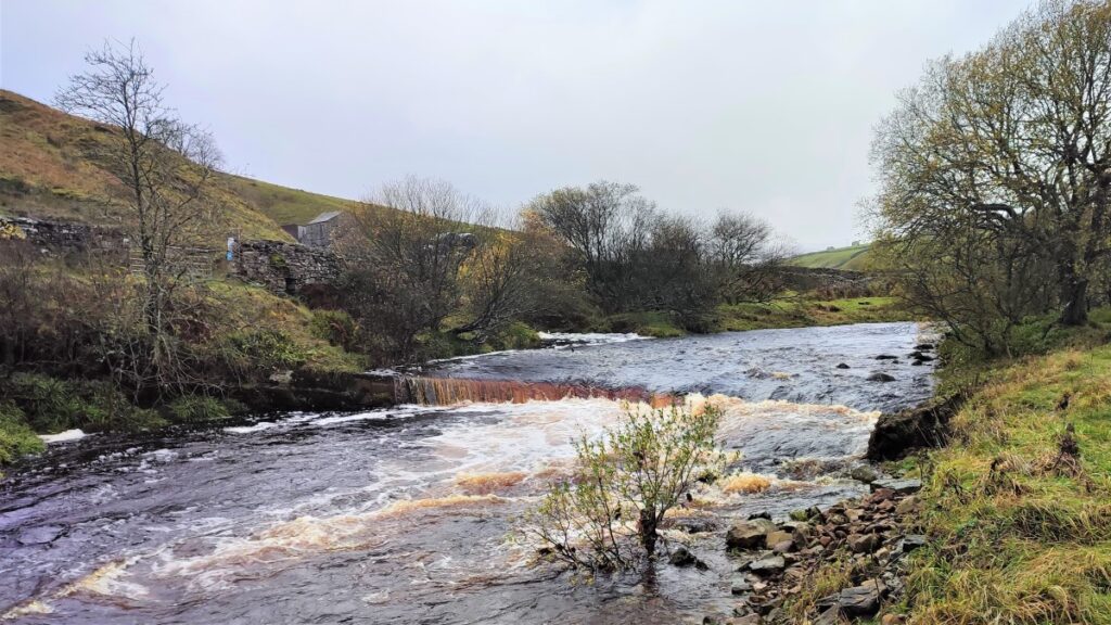
We are now tracking along a drystone wall heading East along the river. Keep an eye open for a glimpse of the Wain Wath Force down on the right and press on along this clear path until we get to a metalled road – this is Stonesdale lane again.
We now turn right and head steeply downhill, zigzagging down to the road bridge where we cross the Swale again – taking a moment to look upstream to see Wain Wath Force form a different angle.
At the bottom of Stonesdale Lane, we turn left – onto the B6270 again, and walk the road a short distance back to Keld. If you wanted to avoid the road you could of course head up Stonesdale Lane and reverse the earlier sections of the walk, although this would add some distance.
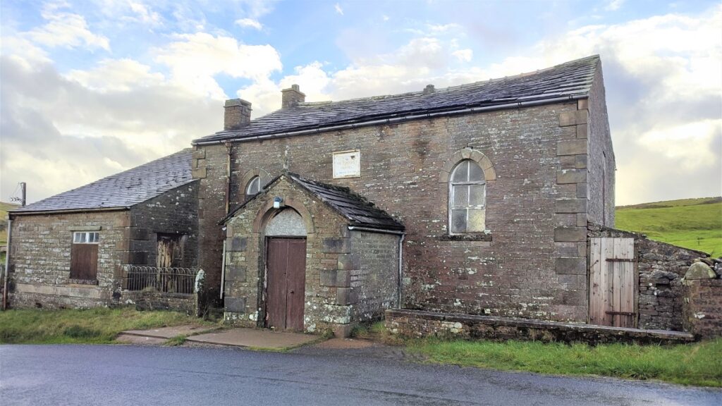
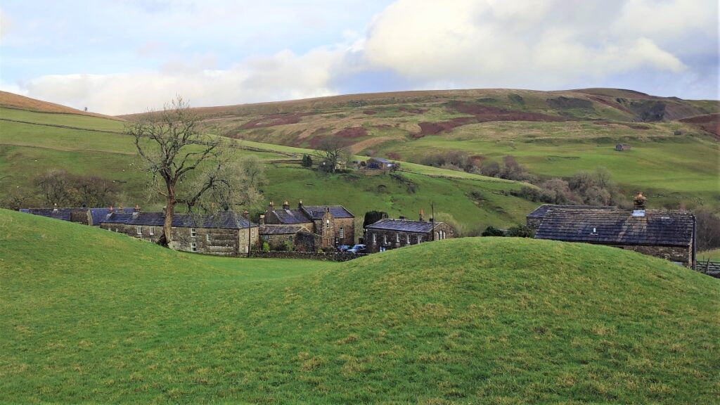
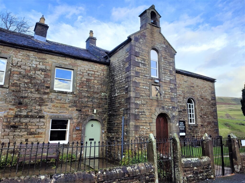
Keld is soon visible, and is well signposted, but if in doubt lookout for the old Methodist Chapel on the right and take the road on the left down into the village.
Entering the village on foot gives us an opportunity to see a number of things we may have missed when we arrived – The Keld resource centre, the United Reform Church and the Manse are well worth a look.