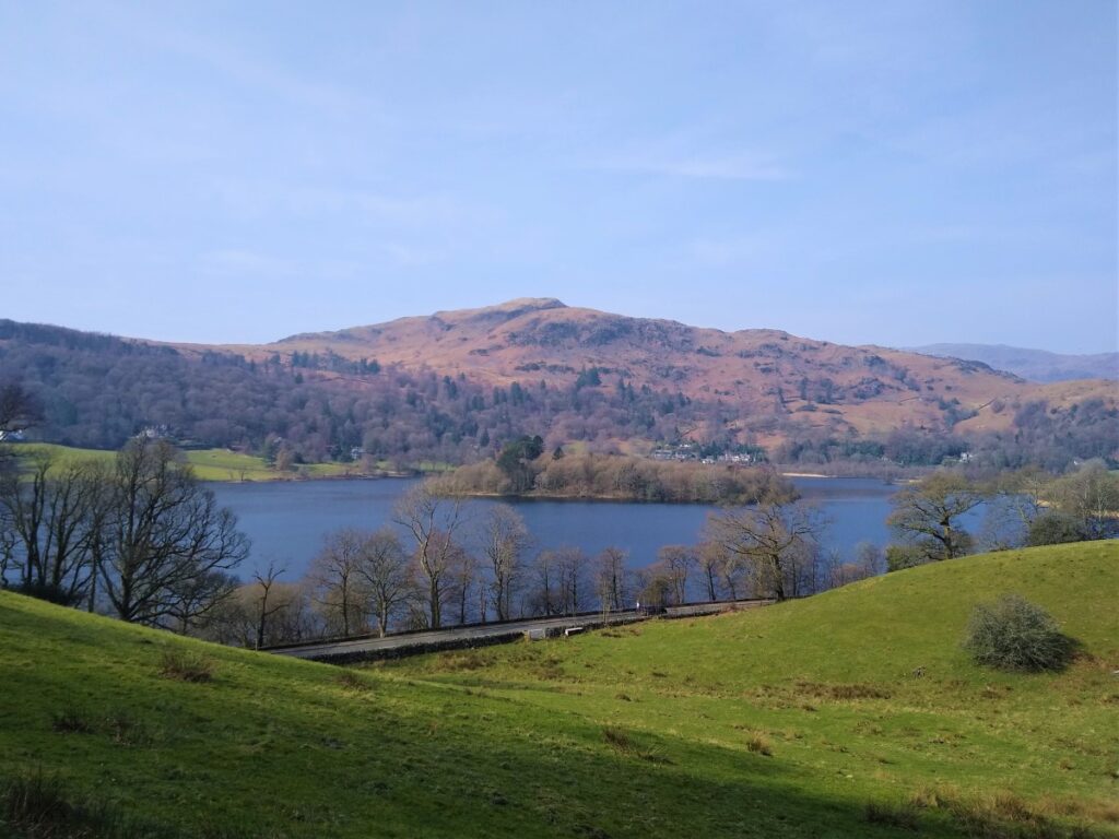
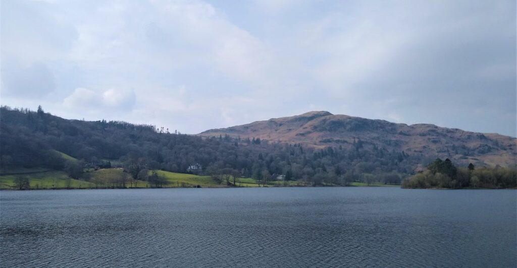
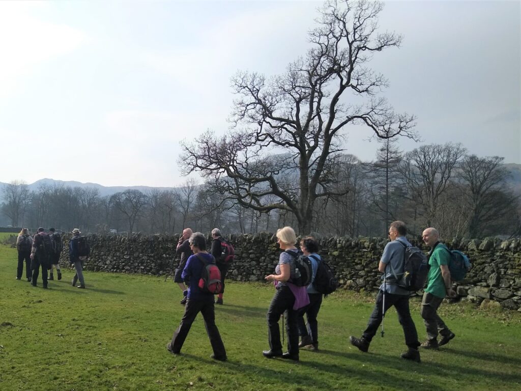
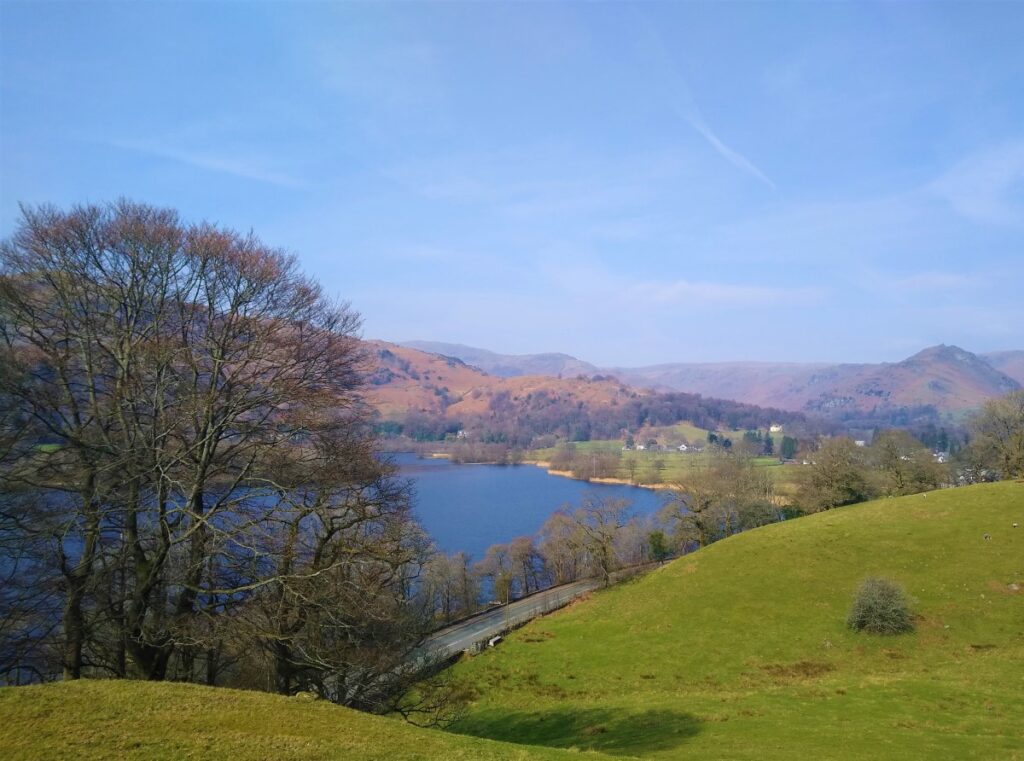
Rydal Water is one of the smaller lakes in the Lake district at just 3/4 mile long and 1/4 mile wide, and it’s Wordsworth connections give it a huge popularity. We found that the tourists tend to stick with the obvious lakeside attractions, so despite the excellent weather this walk never got too busy.
We start at the lane next to the White Moss car park, then head up to White Moss Common, before tracking around the hillside below Alcock Tarn. We cross the A591 and take a low level path into Grasmere before re-joining the road and taking the pavement along the edge of the lake for a while.
We pick up a pleasant path down into the woods and follow the River Rothay to the western end of Rydal water then head uphill to Rydal Cave, before following the path down to Rydal Mount and Rydal Hall. From there we take the Coffin Route west toward Nab Scar, and White Moss Common, which leads us back to our start
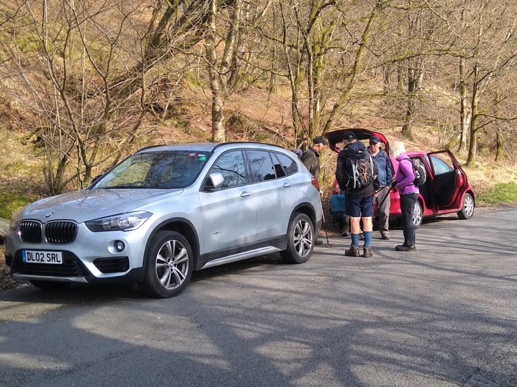
The attractions of walking in the Lake District are obvious –which makes parking a problem at times. We found that the lane on the right beyond the White Moss Common car park and toilets on the A591 leads up to ample roadside parking. Satnav users will find the car park using LA22 9SE, whilst What-3-Words location permanent.petition.minority will find the lane, and Paper map users can use SD66576935.
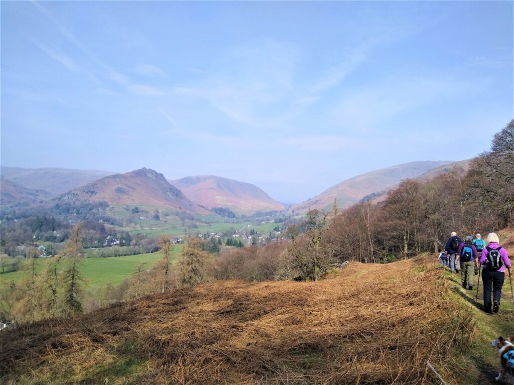
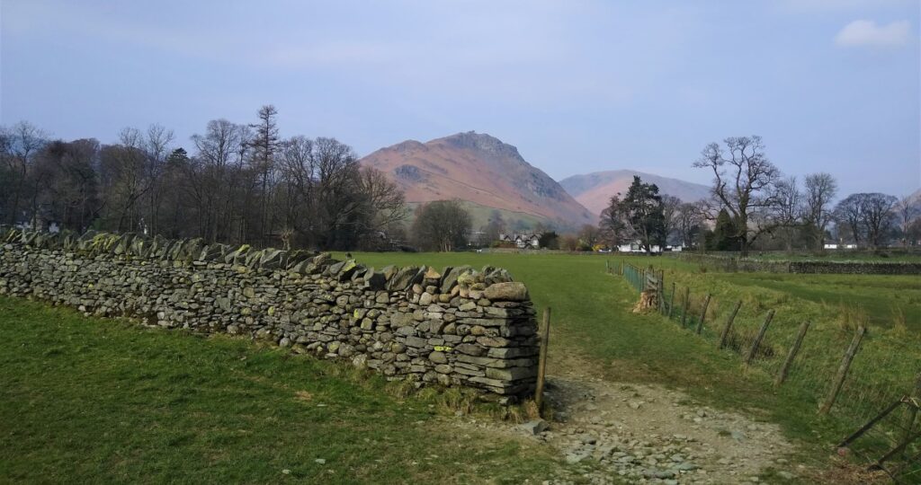
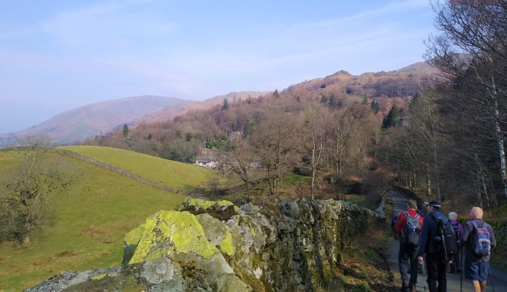
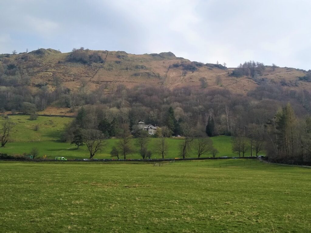
From the roadside parking, head uphill along a metalled road – traffic is very light, but take care as you enjoy views to the South over Grasmere toward Silver How and Helm Crag (more usually known the “The Lion and the Lamb”).
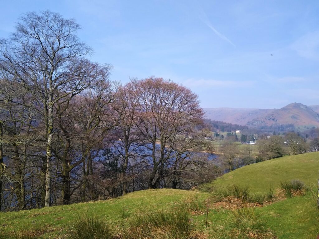
After a short while the road turns gently right, and we follow it round, to leave the woodland behind, making the views across the lake much clearer.
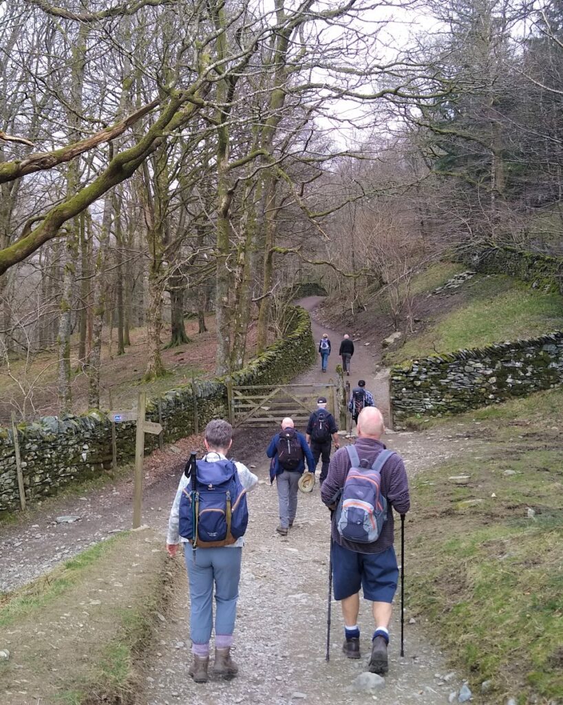
The road now heads North, and we continue to follow, until it turns sharp left, at which point we leave to the right on a right of way signposted for Alcock Tarn and the Coffin Route. We don’t take this track as far as the Tarn for this walk, although that could easily be added making it longer and more energetic.
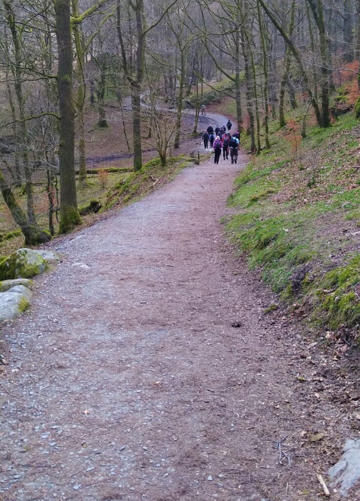
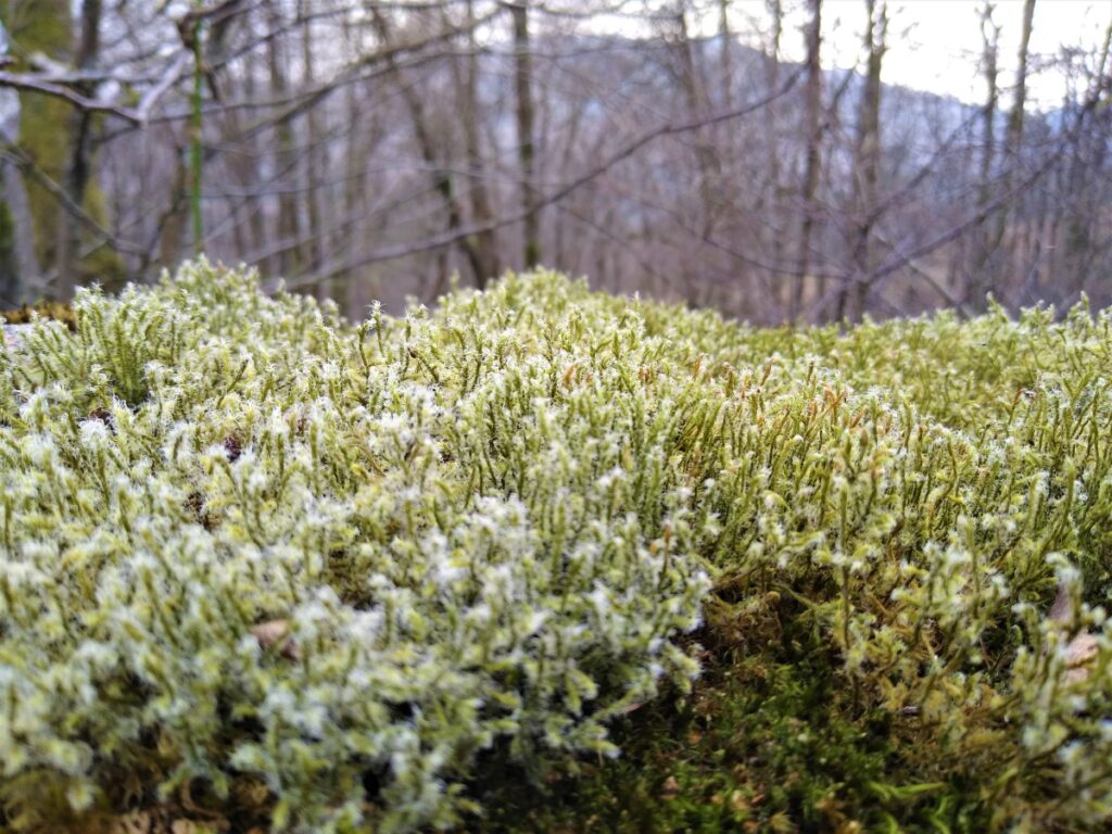
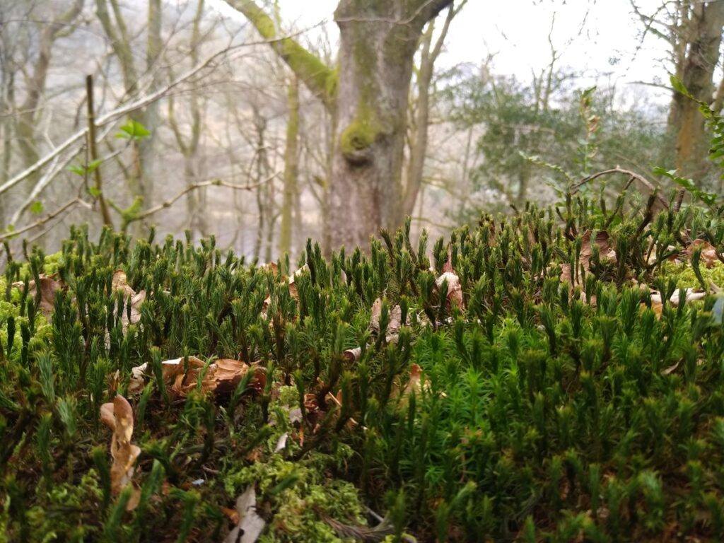
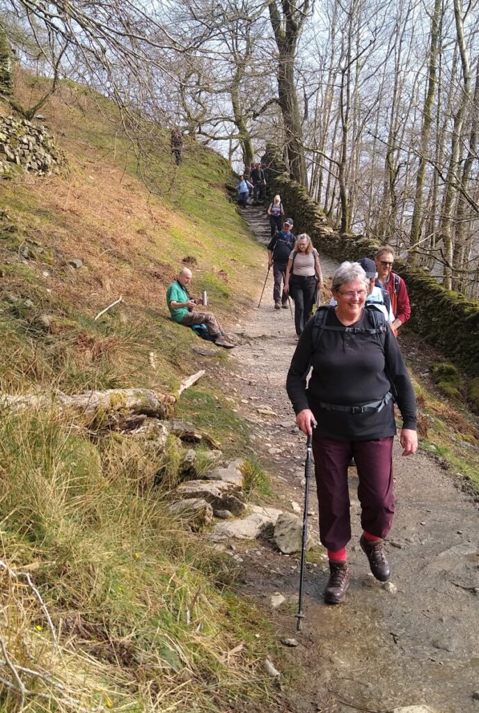
We are now on a wide and clear track through pleasant woodland which we follow round as it curves to the left and heads North.
Down by the waterside at Grasmere we see the A591 snaking round. Between our path through Wood Close and the main road lies Dove Cottage, best known as the home of the poet William Wordsworth and his sister Dorothy from December 1799 to May 1808, where they spent over eight years of “plain living, but high thinking”. Dove Cottage is not accessible from this walk but is well worth visiting another time. Visit https://wordsworth.org.uk/visit/ for details.
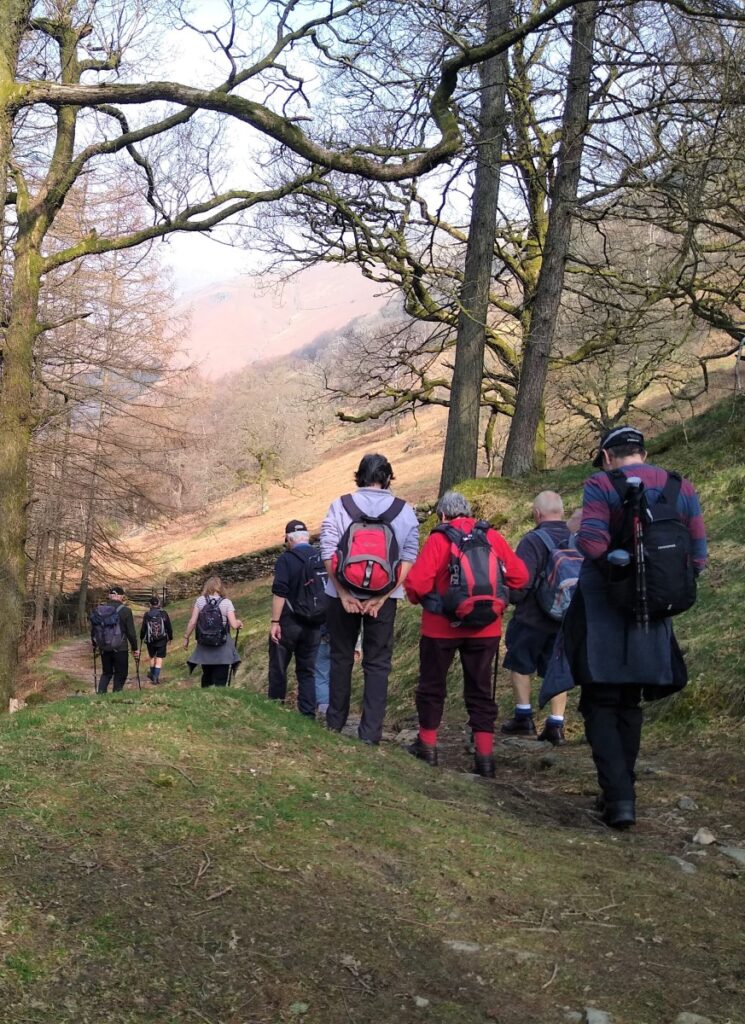
Our path continues round, following the contour lines for the most part, and we soon re-enter woodland as we head North. Other paths join from our right – we ignore these and head resolutely North.
We soon arrive at a gate through a wall, where our path dips down and to the left – immediately ahead of us is a clearing with good views over the far fells, and this is a good spot for a break.
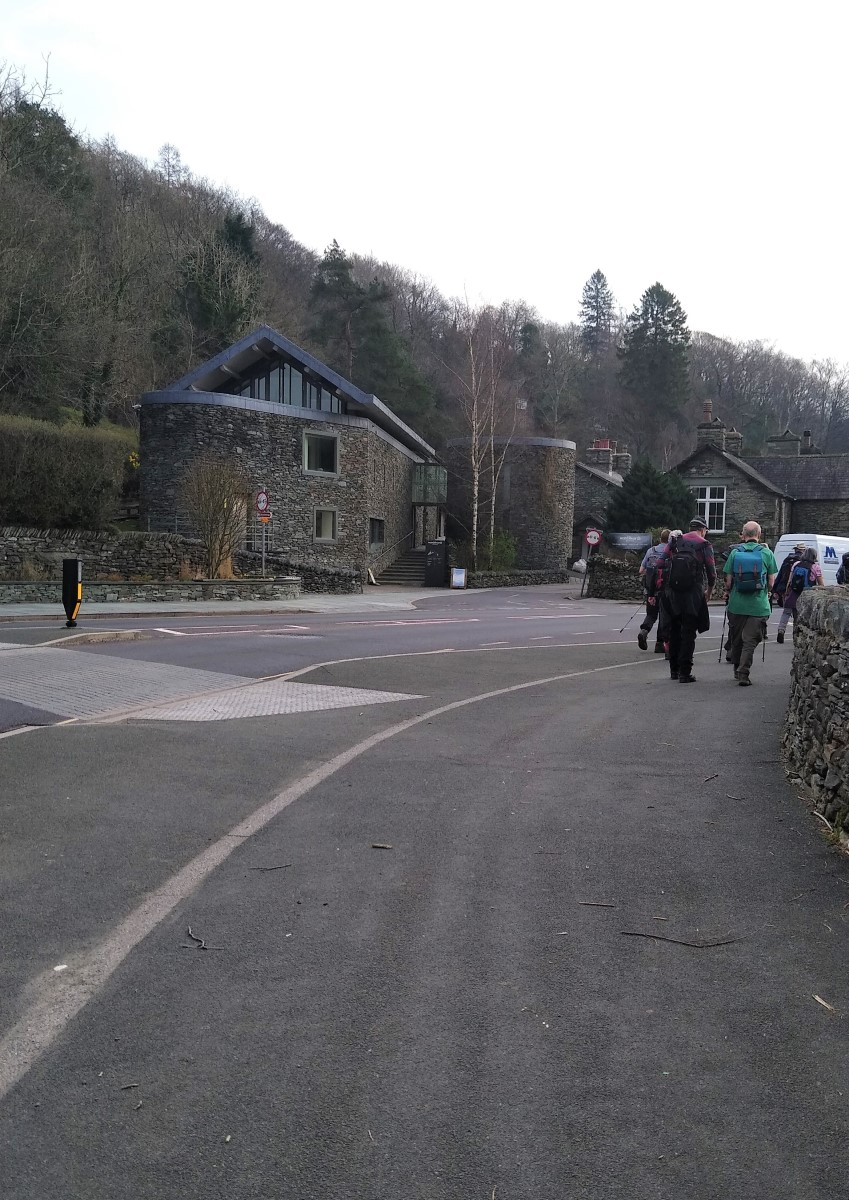
We continue along a narrow but clear path, gently heading downhill toward a wall which we then follow – keeping the wall on the left. We pass through a gate and keep heading North through a wooded area known as Forest Side, and soon arrive at the back of a large Hotel – Forest Side Hotel.
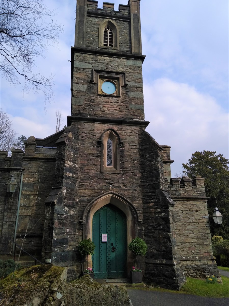
Our path goes behind the gardens and then turns sharp left and steeply downhill to pick up the access road to the Hotel. From here we walk down to the A591 and the rather beautiful church of Our Lady of the Wayside: the first Catholic chapel to be built in Grasmere since the Reformation. Mass had been said since the 1930s at the nearby Dale Lodge Hotel but increasing numbers of tourists prompted the decision to erect a permanent church. The architect was Wilfrid C. Mangan of Preston, the builder was T. Armstrong and Sons of Cockermouth in Cumbria.
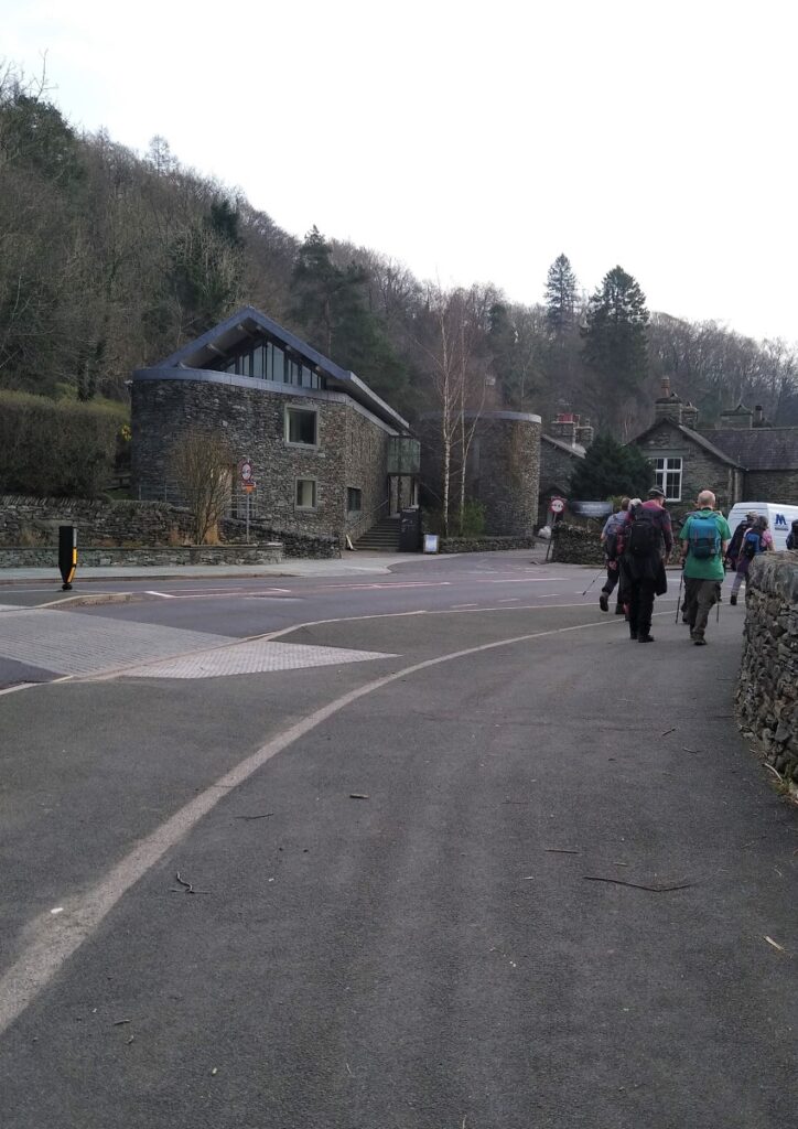
Opposite the church on the far side of the A591, our path continues across flat fields toward the centre of Grasmere where we pick up the River Rothay before passing the Workman’s Reading room, and the school to arrive at the car park to the east of the village. Toilet facilities are available her for a charge.
We don’t go into Grasmere as part of this walk, but if you did want to add an hour or two in the village to the itinerary, there is plenty to see.
From the car park, we take the B5287 back to the A591 at the Wordsworth Centre and turn right back along the main road toward Ambleside.
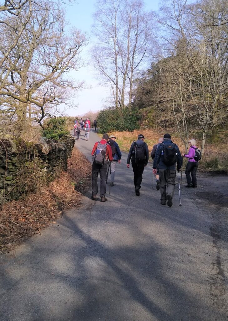
We walk along the A 591 for a little while now – this is quite safe as there is a good pavement but it can be busy, so care is needed.
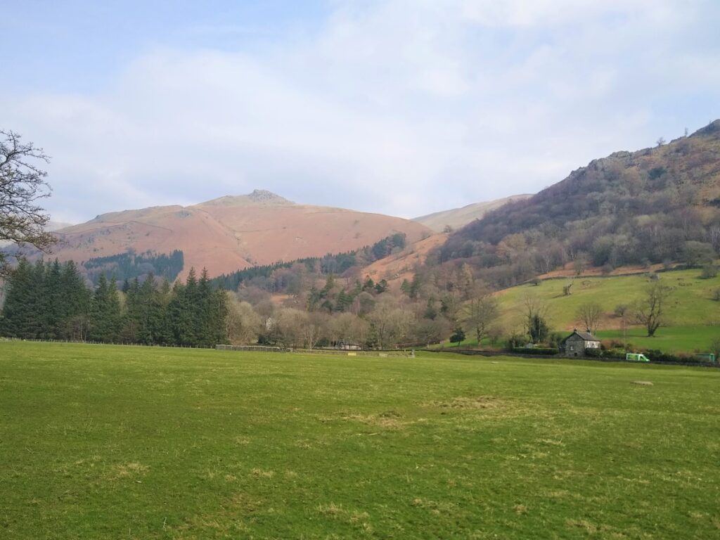
We take in excellent views over Grasmere on the right along this part of the walk.
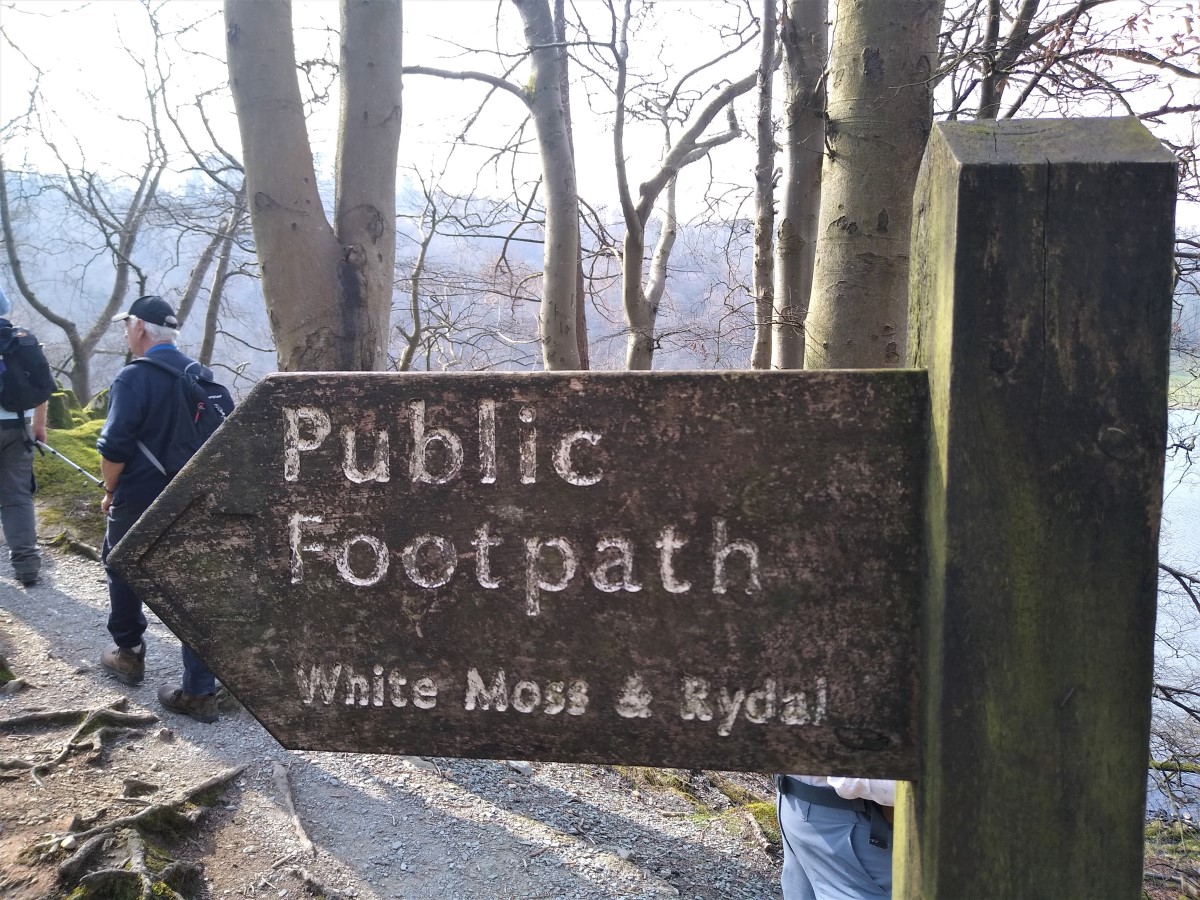
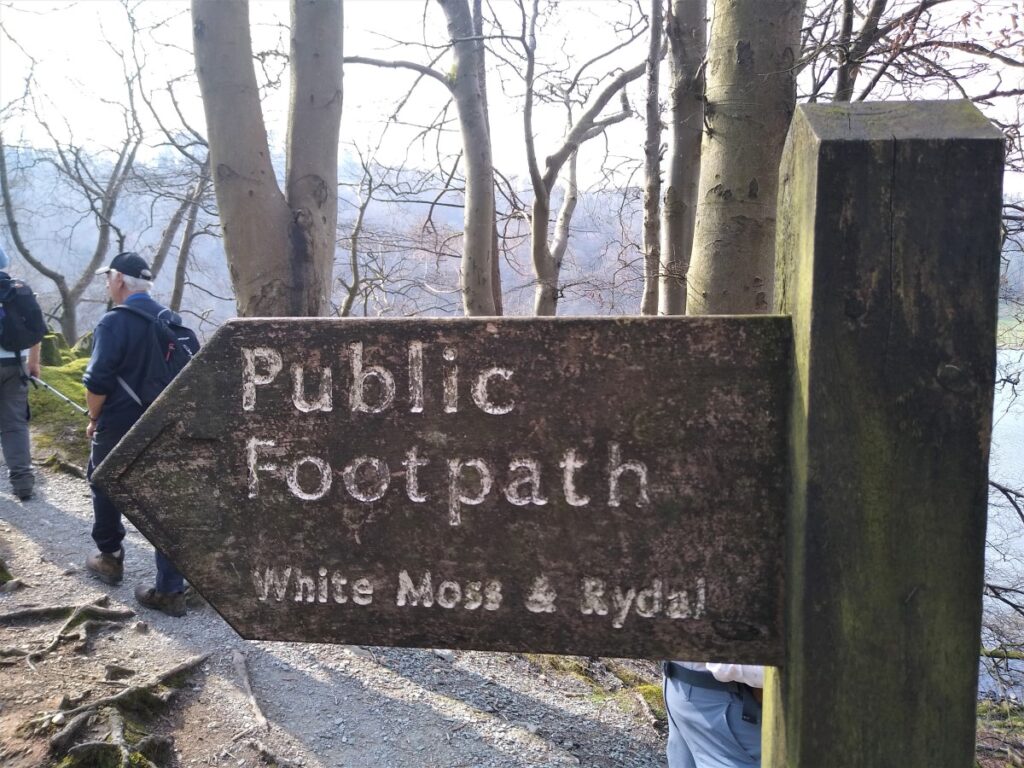
As the A591 takes a sharpish turn to the left, our path leaves on the right and enters woodland signposted for White Moss and Rydal.
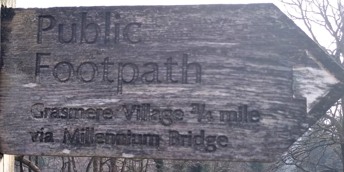
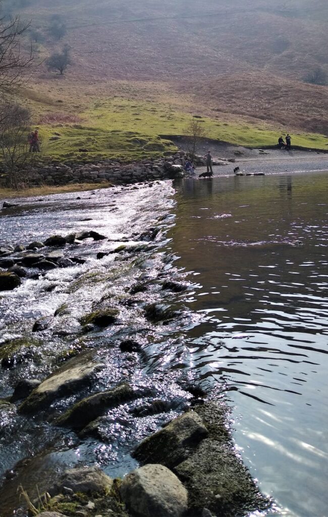
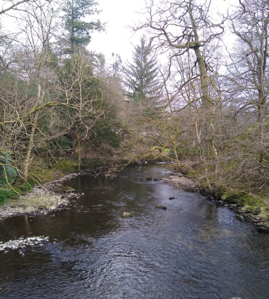
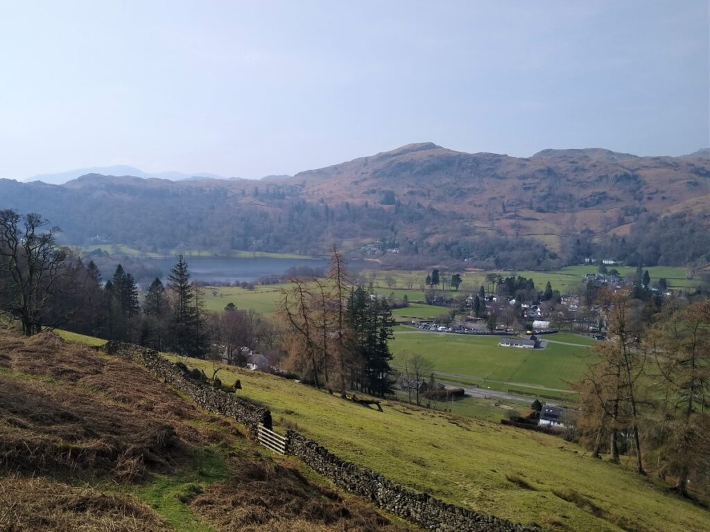
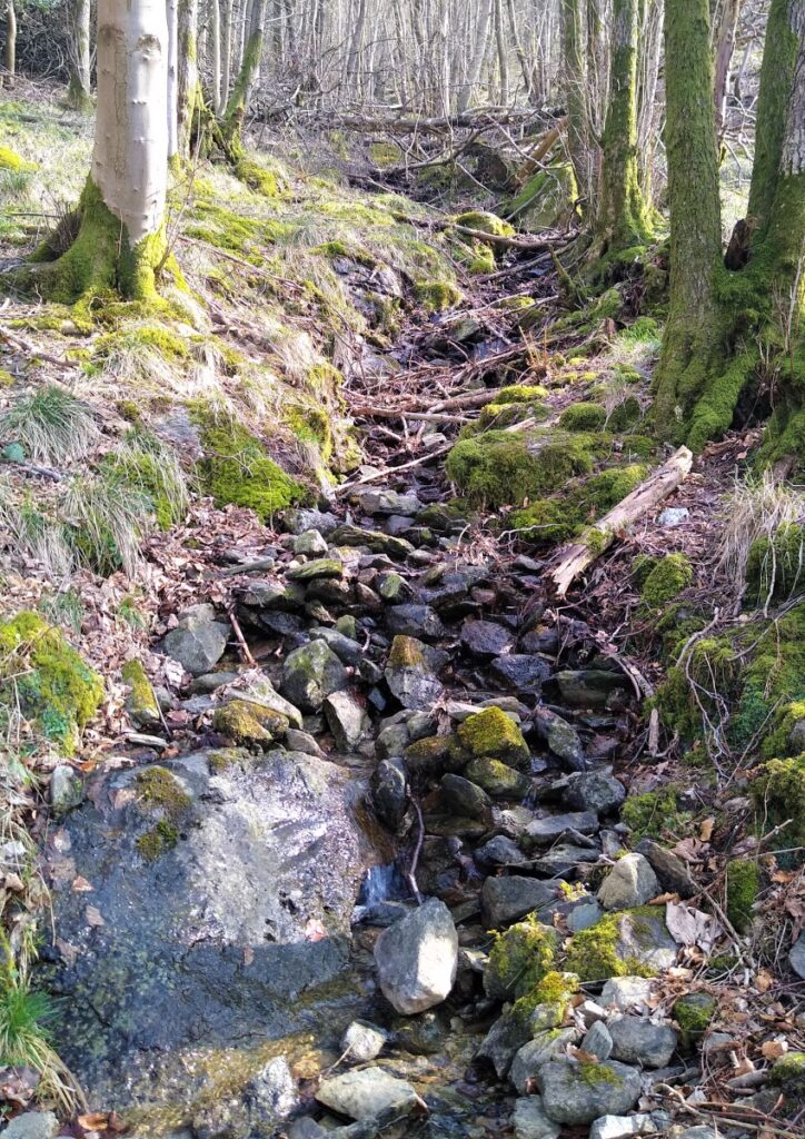
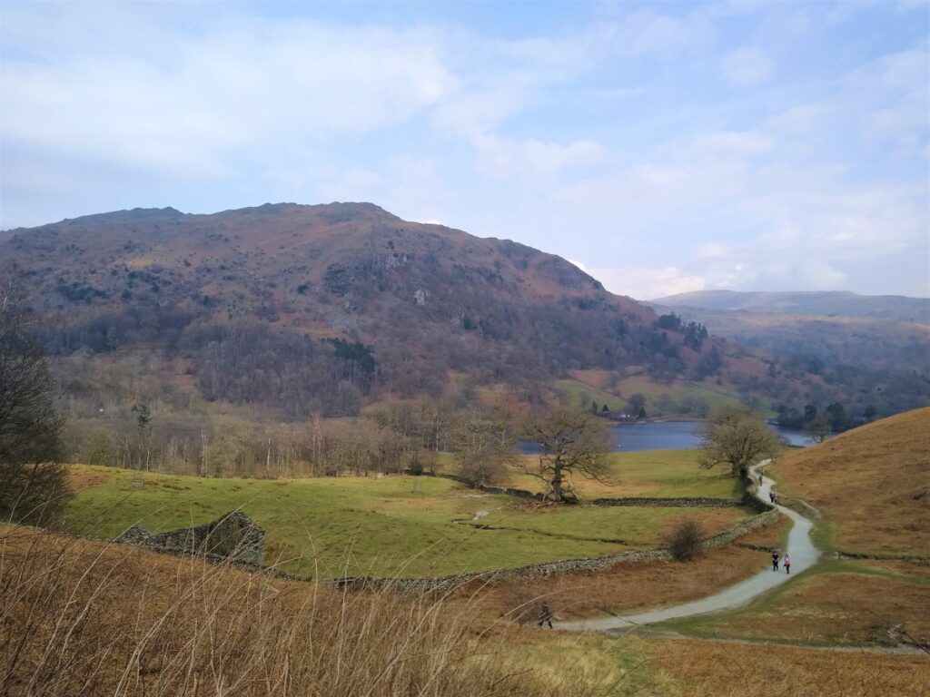
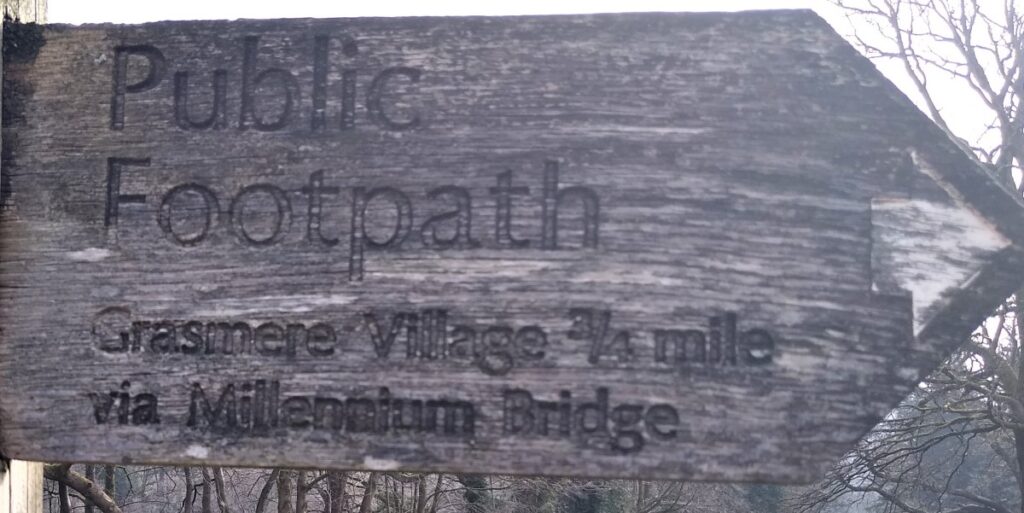
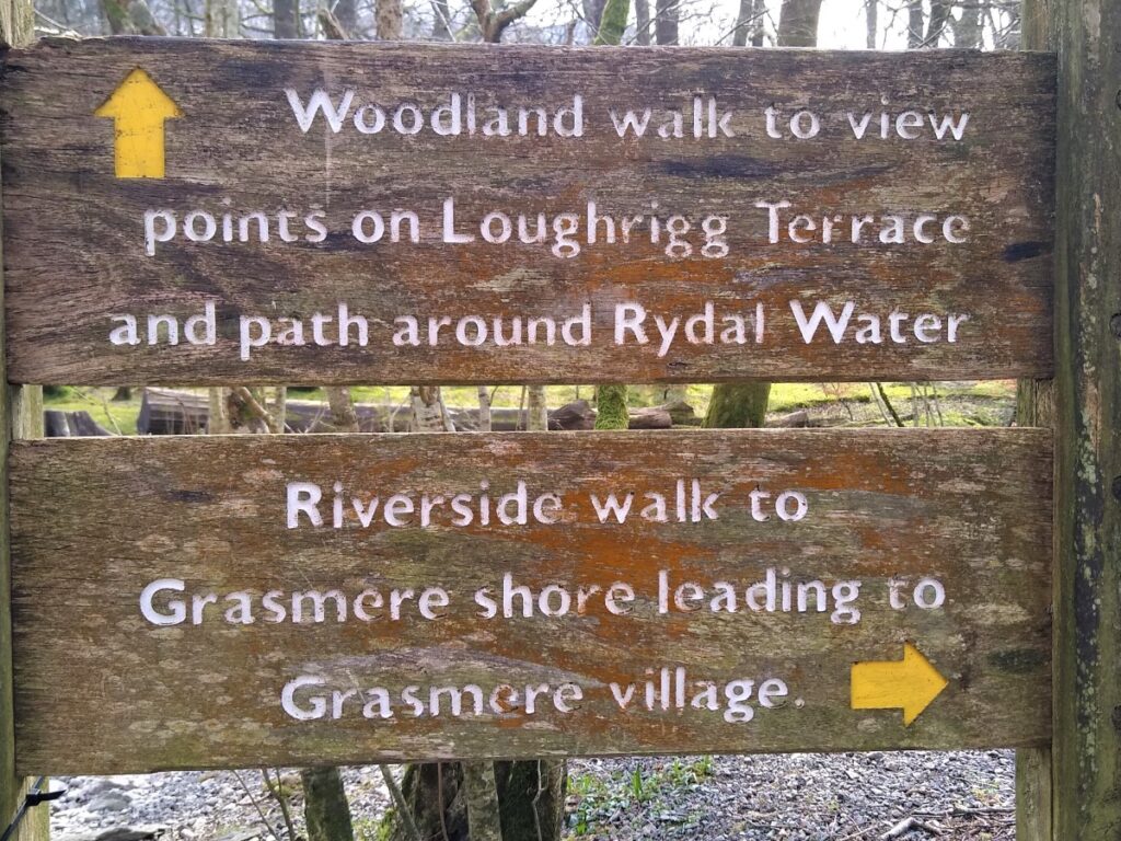
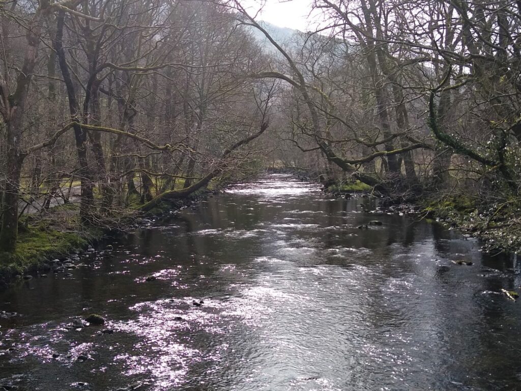
We follow the path down to a small weir – which is right at the Southern Tip of Grasmere and then follow the river Rothay down through woodland and White Moss to the Millennium Bridge – the start of Rydal Water – where we cross.
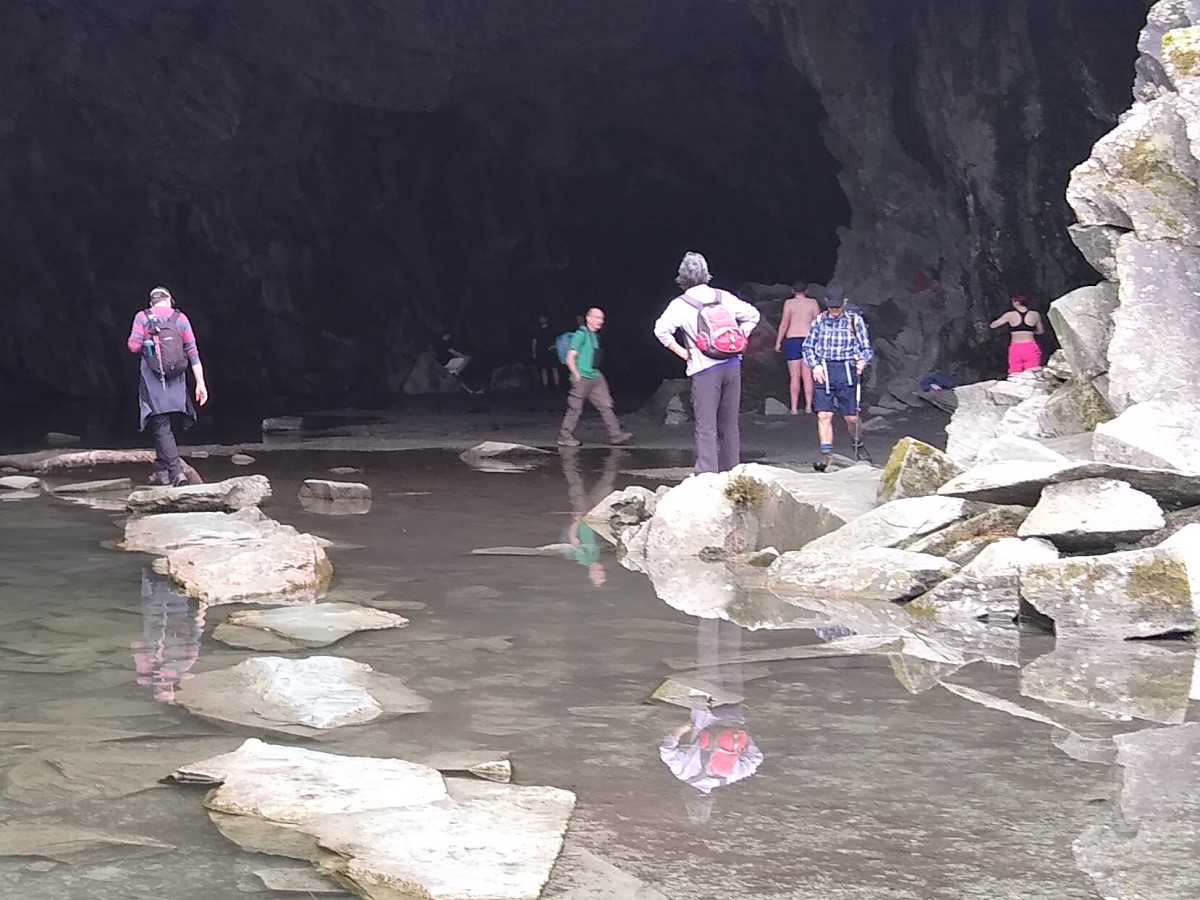
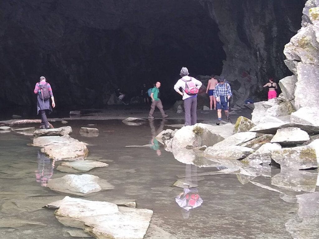
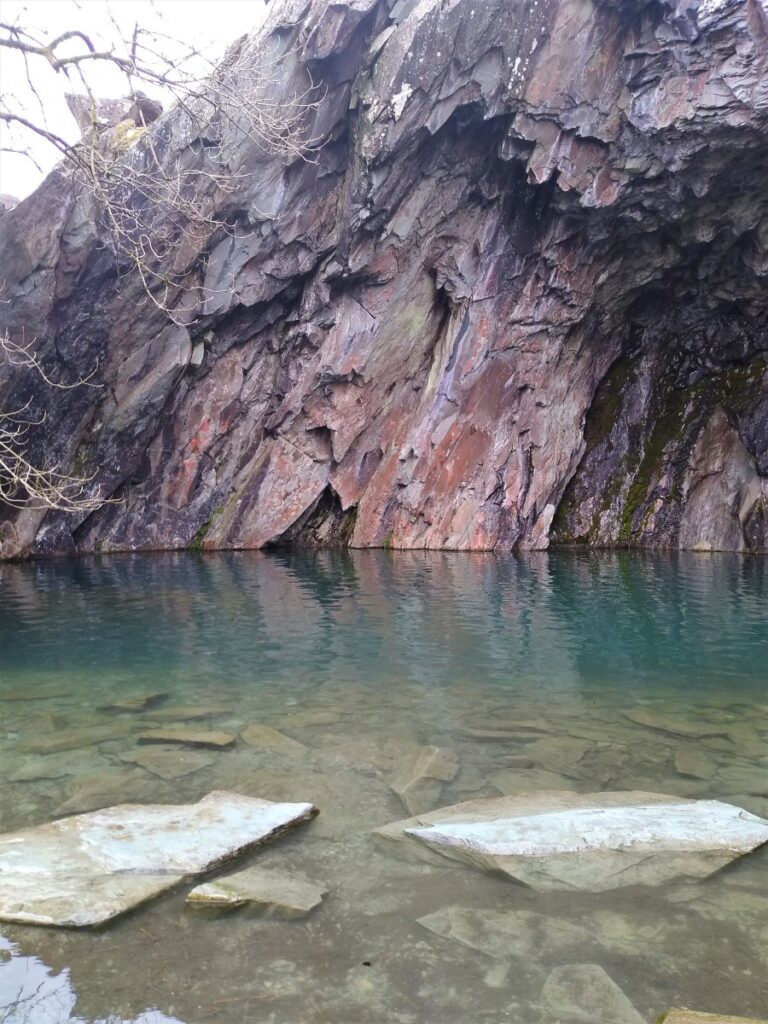
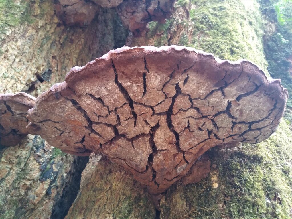
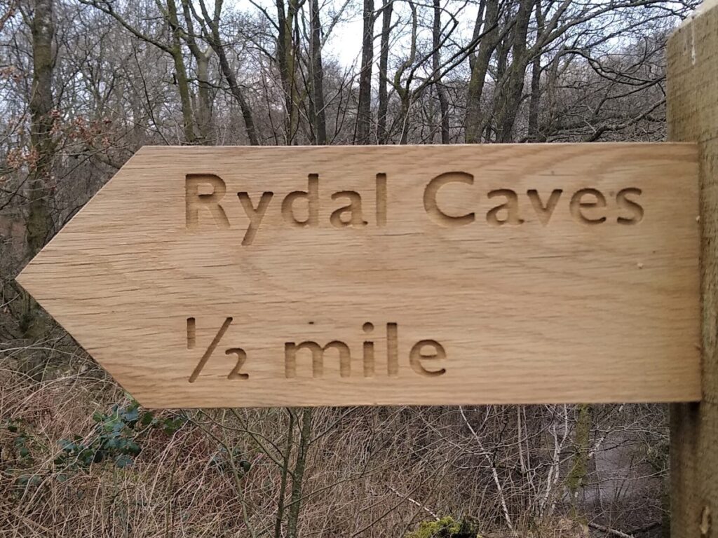
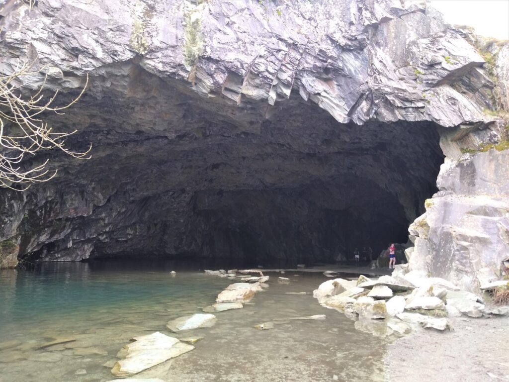
We now head uphill through woodland following a path signposted to Rydal Cave – a manmade cavern created through the extraction of roofing slate carried out here a century or more ago. Long disused as an active quarry, the cave can be entered by the public for free. There are a number of handy stepping stones along which you can plot your way into the cave, or if stepping stones are not your thing but you want a good look round, visit https://www.parkcliffe.co.uk/blog/rydal-caves/
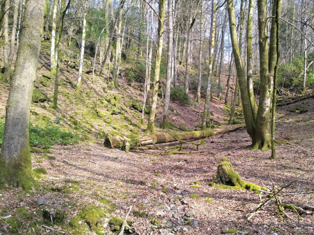
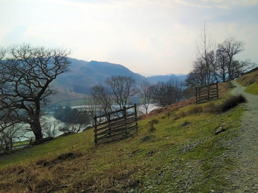
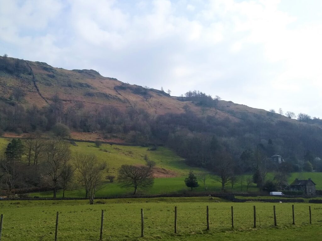
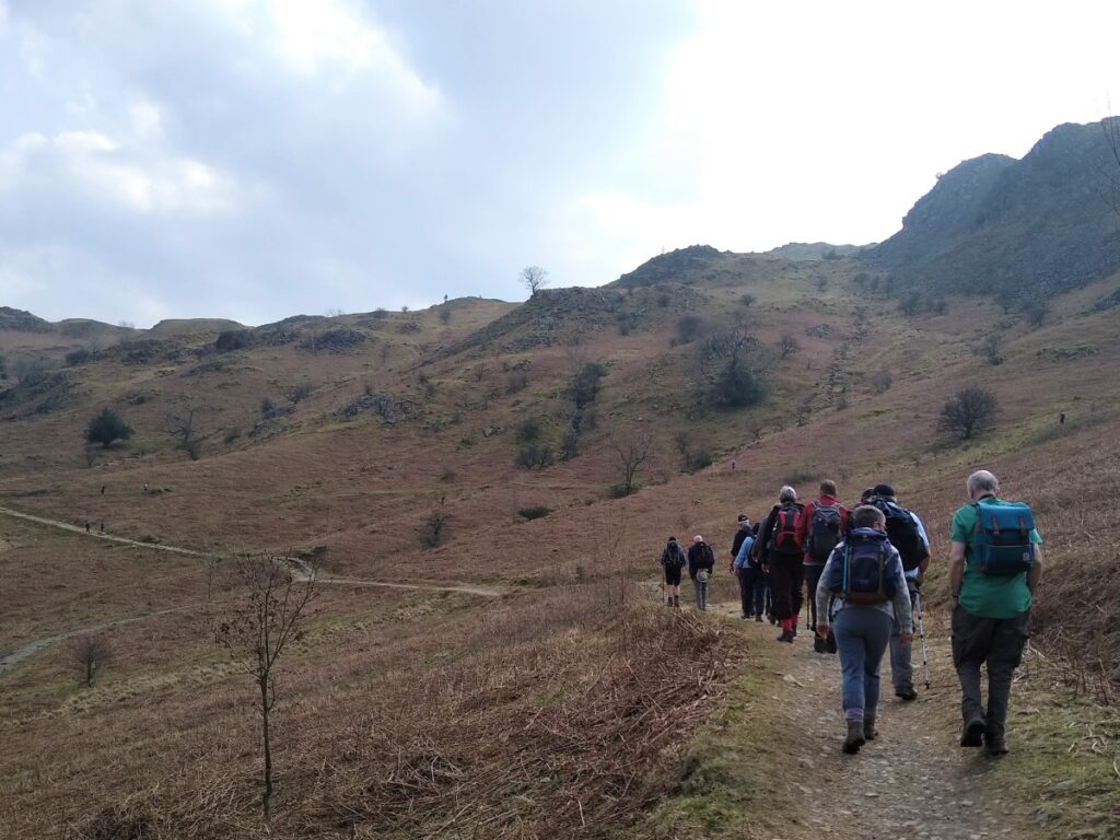
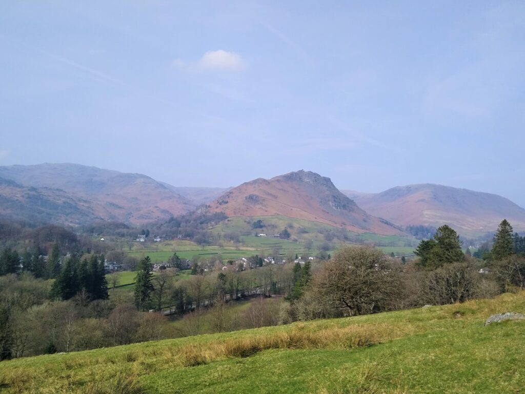
From the cave, we head east and downhill along the edge of some woodland called Rough Intake. The views across Rydal Water are generally good, and this is perhaps the best place to view the two islands. The larger is Heron Island, the smaller Little Isle.
The rough path needs some care as we carry on down the hill to meet a wall. Beyond here we enjoy a much gentler track, giving vehicle access to farms and dwellings. We continue with this track until we see a gate in the wall to the left leading to a path down through the woods toward Rydal Mount.
We cross the River Rothay again – taking care as access to the footbridge is somewhat difficult due to a fallen tree – and then re-join the A591 turning right and staying with the pavement on the right.
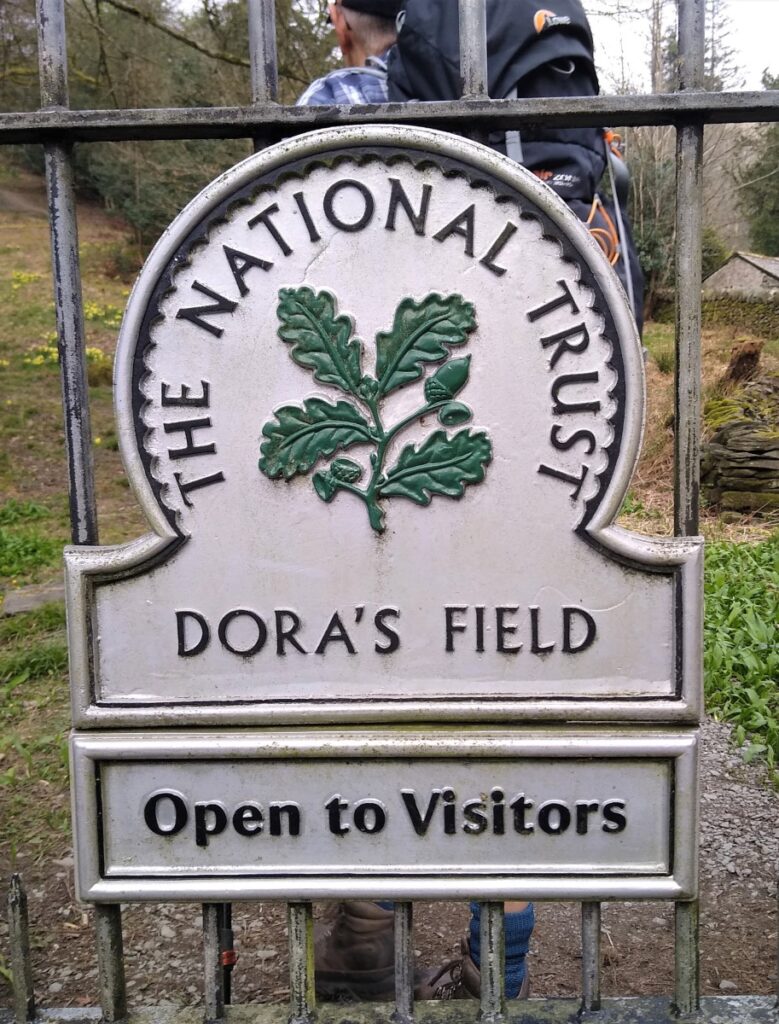
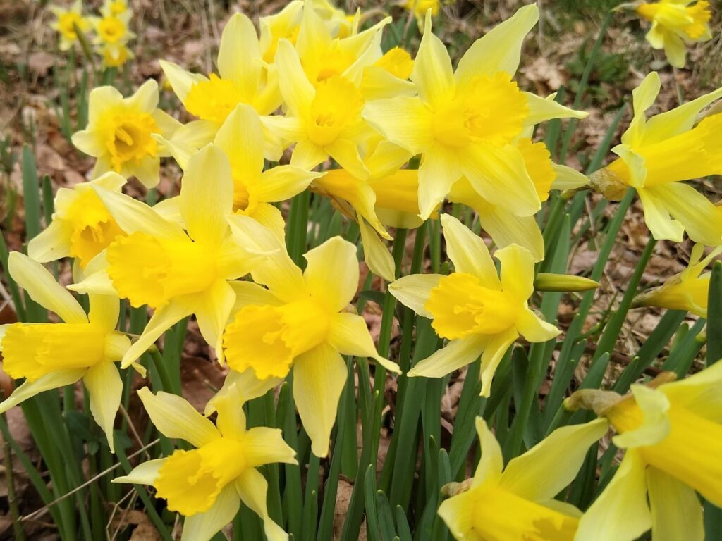
Our time on the main road is very short – almost immediately we see the gate to Dora’s Field on the far side of the road, and we go through here to access the field.
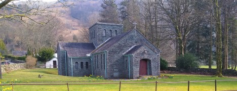
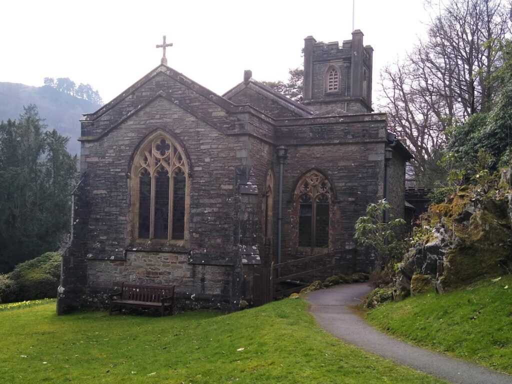
The Rash field, as it was originally called, next to the churchyard of St Mary’s Church at Rydal, was bought by Wordsworth while he lived at Rydal Mount.
At the time he was renting Rydal Mount from Lady Anne le Flemming, who threatened to withdraw the tenancy so that she could pass the house on to a relative. Wordsworth went as far as paying to have plans for the new building to be drawn up by George Webster, a famous Kendal architect. The new house would have dominated the views from Rydal Mount but Lady Anne le Flemming withdrew her threat and Wordsworth’s planned house was never built.
The current name is given because after his daughter Dora died in 1847, William went down to the field between Rydal Mount and the main road, and together with his wife, sister and gardener, planted hundreds of daffodils as a memorial to Dora.
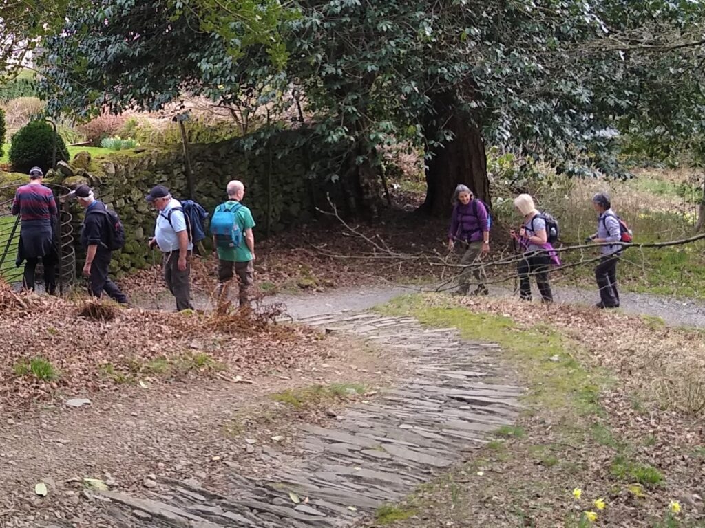
From Dora’s Field, we walk through the grounds of the St Mary’s church Rydal out onto the lane at the front where we turn left and head uphill.
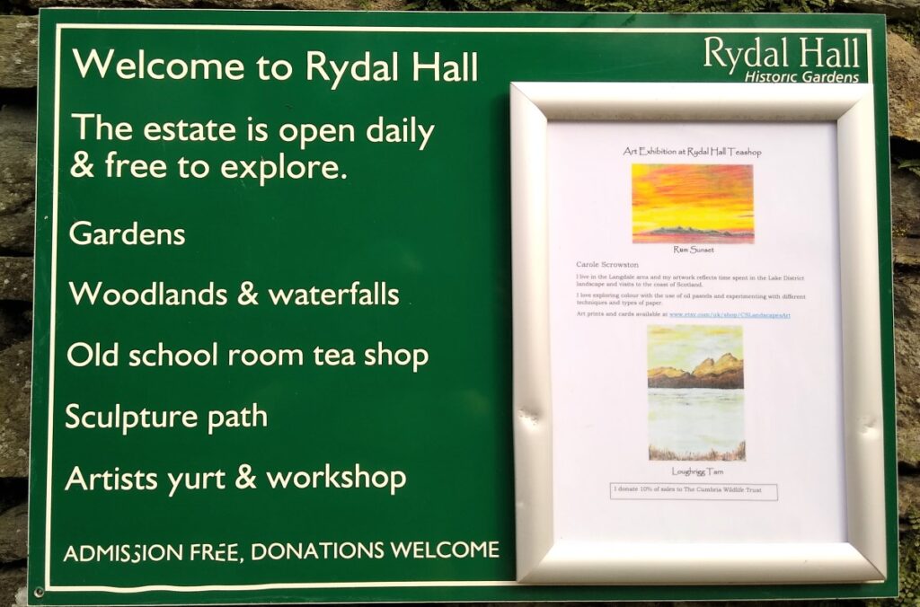
As we walk uphill, we pass the entrance to Rydal Hall on the right, and then Rydal Mount and Museum on the left.
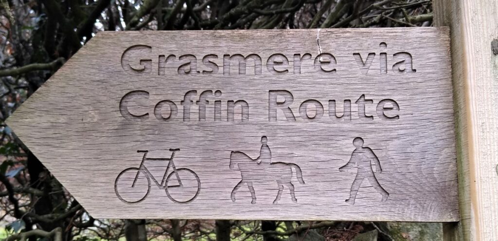
Just beyond Rydal Mount, we see a clear sign for the Coffin Route heading left (West).
There are a number of “Coffin Routes” and “Coffin Roads” in the UK – all have a similar story:
The name dates back to a time when the only consecrated ground for burial in the area was the graveyard at St Oswald’s in Grasmere, and therefore coffins for burial from further afield were routinely transported via this route for their final journey.
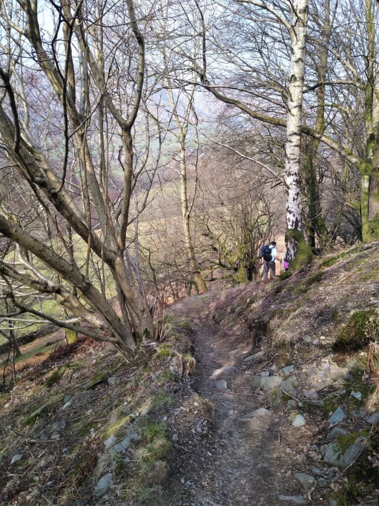
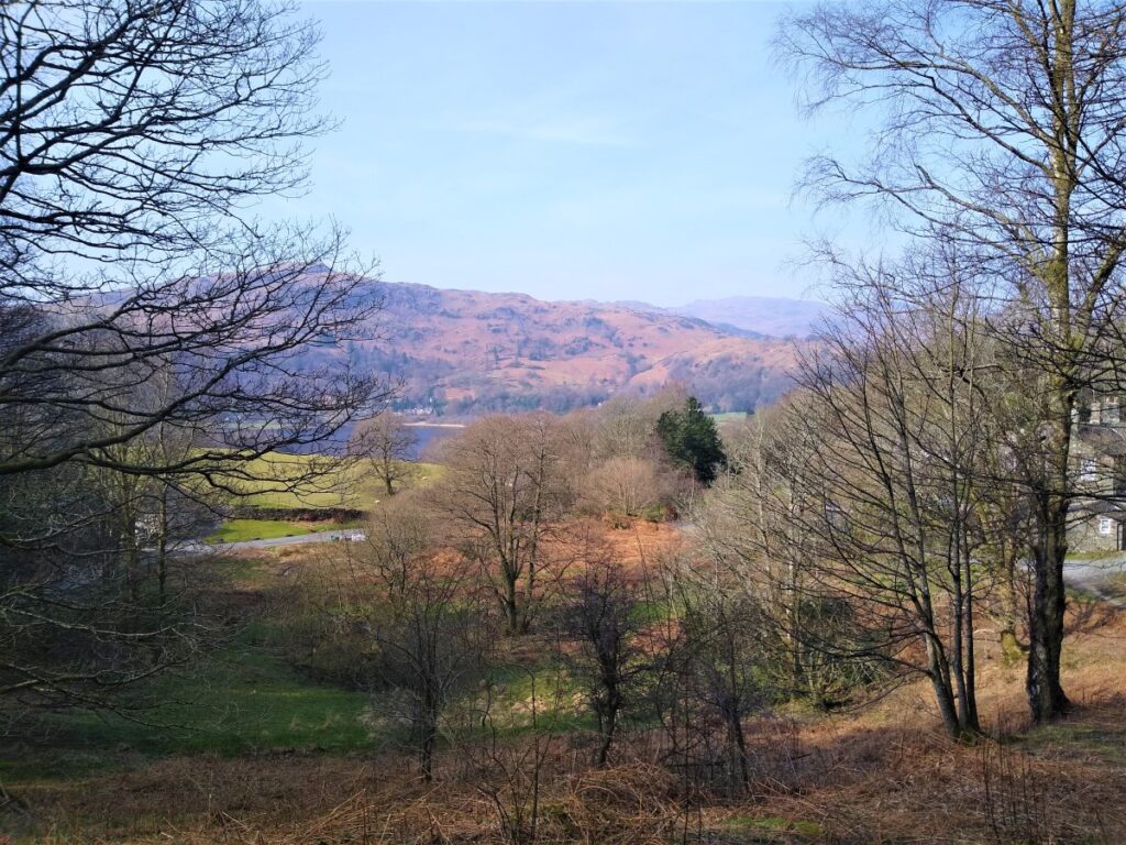
The path westward generally follows the contour lines and is reasonably smooth – although transporting a coffin this way may have been challenging. There are good views over Rydal water as we head back to our starting point and we see a number of paths leave the Coffin Route to head onto the Fells. Don’t be tempted by any of these.
There is soon a fork / junction in the lane: Ignore the track to the left and carry straight on before curving round to the left and then taking a sharp left along a narrower path down to the White Moss car park.
From here we pick up the lane and climb a short distance back to our starting point.