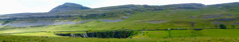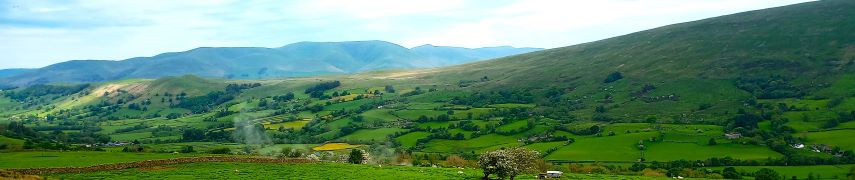
Kentmere circular, low level
6.9 miles | 11.1 km | 291 m Ascent | 8.4 Naismith miles | Don Cartledge
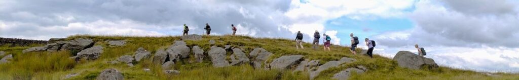
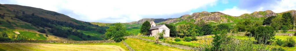
Staveley and the River Kent have long been a favourite of the Bentham Footpath Group – it’s an easy place for us to get to and there are some wonderful walks in the area. This time though, we go through Staveley and venture further up the valley.
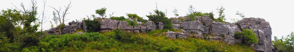
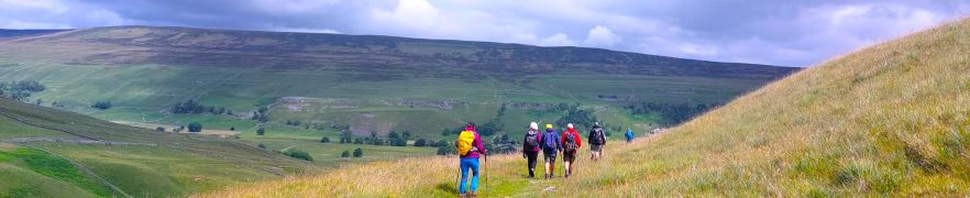
Starting at Green Quarter, we stroll down to Kentmere, and then follow the river upstream past the imposing Rainsborrow Crag and as far as the reservoir that was built to control the flow to the mills downstream. We then cross to the east of the river and come back on a route tht gives us great views of old quarrying works.
The last part of the route back to the parking is a steep climb, so although this is an easy route overall, expect to be out of breath at the end.
Kentmere circular, low level Read More »