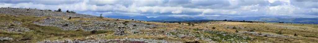
Sunbiggin Tarn and Great Asby Scar
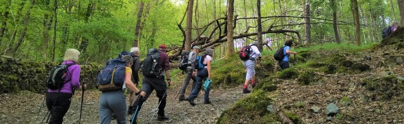
7.9 miles | 12.7 km | 233 m Ascent | 9.0 Naismith miles | Valerie Eccles & Mary Pickstone
Limestone pavement is one of the defining features of the Yorkshire Dales, and when asked to think of an example, most people mention Malham: that pavement and the Cove are indeed spectacular, and Bentham Footpath Group have enjoyed a number of good walks there.
This walk however visits the much larger (15 square miles) and rather more secluded Great Asby Scar National Nature reserve. Malham famously has a tarn, so we throw one of those in and start at Sunbiggin tarn before taking a gentle climb to the scar using the Dales Highway path. We then head west along the top of the scar and visit Castle Folds, the remains of a Romano-British walled settlement. From there we pick up the path coming up from Asby Winderwath Common and circle round the scar to head down to the Gamelands stone circle, before taking the Coast to Coast path back to the tarn.
Sunbiggin Tarn and Great Asby Scar Read More »