Jump to . . .Step by Step | OS Map | Downloads | Gallery | Fly through
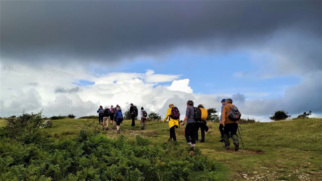
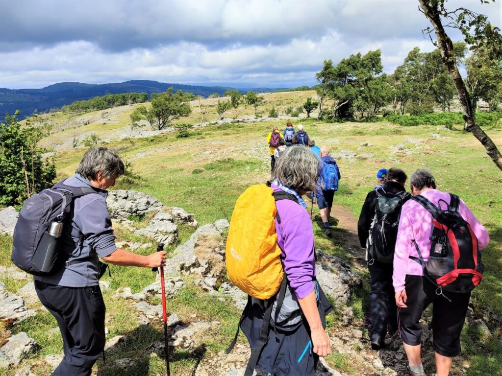
In April this year, Bentham Footpath Group enjoyed a great walk at Storth and Arnside.
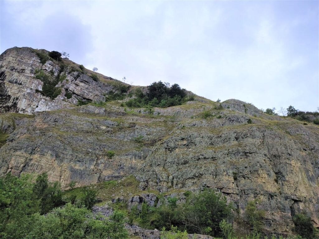
that walk starts with a great view over the Kent estuary toward Whitbarrow Scar. This time we are on the other side of the estuary climbing Whitbarrow Scar and exploring the interesting geology of the area.
Whitbarrow Scar is designated as a Site of Special Scientific Interest, a National Nature Reserve, and a Special Area of Conservation, but still manages to offer easily accessible walks without being too crowded.
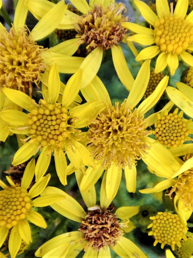
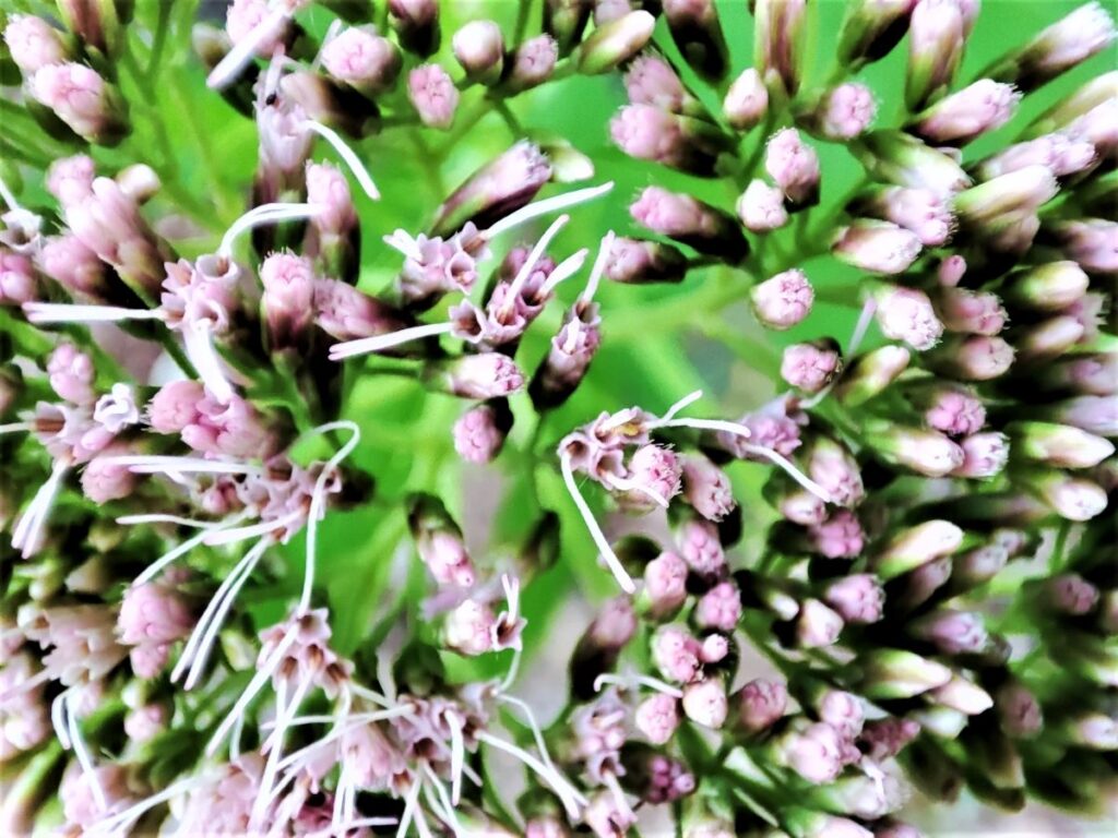
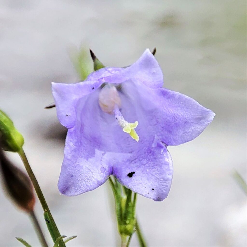
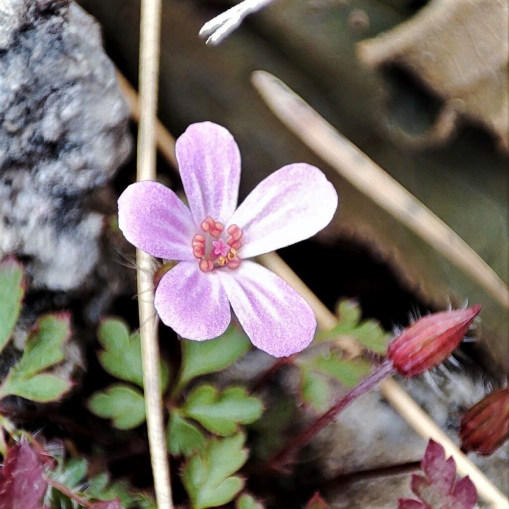
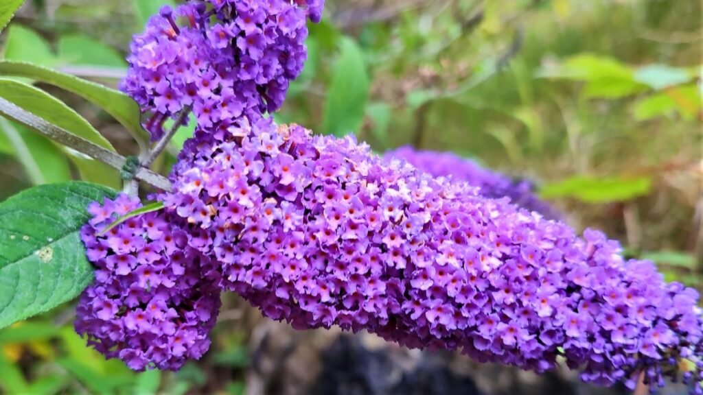
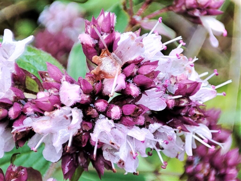
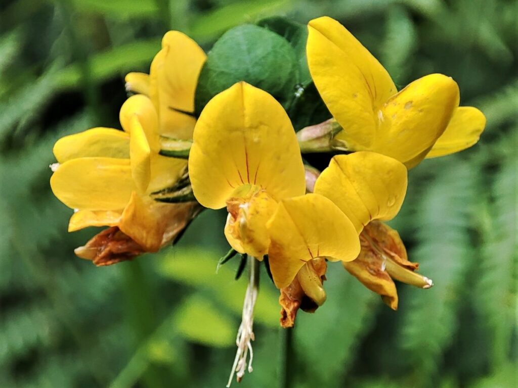
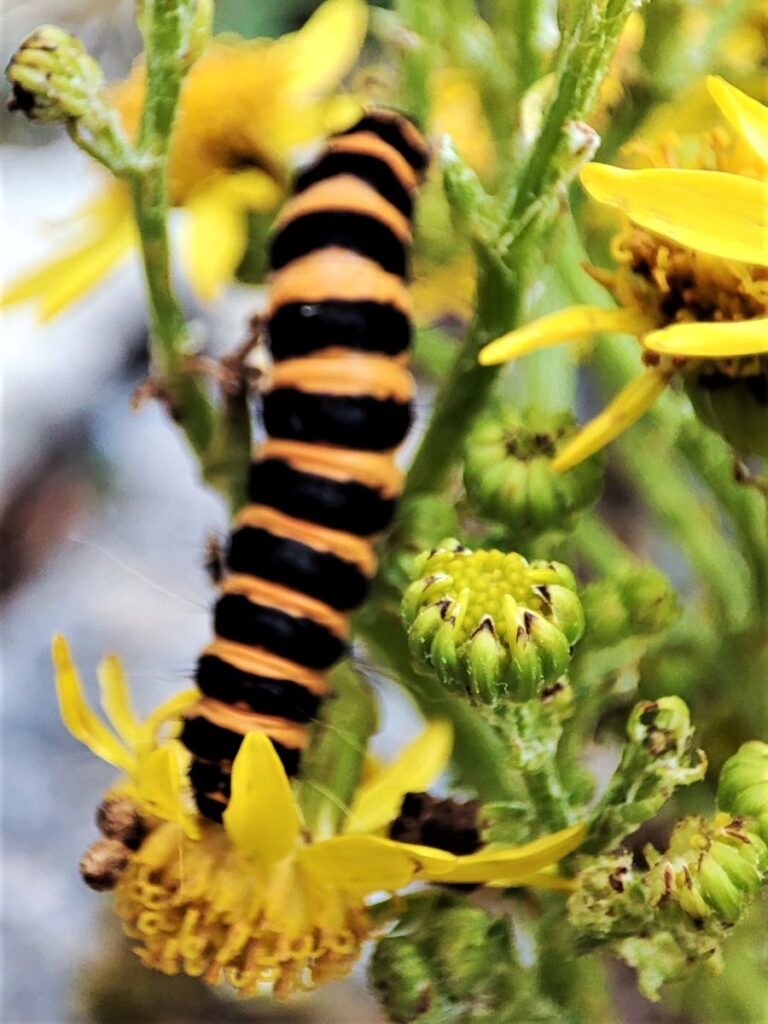
The route we take is loosely based on the Whitbarrow Geotrail – you can purchase a booklet describing that at the starting point. If geology is not your thing don’t worry – there are great views, fossils, birds of prey, abundant wildflowers, monuments, abandoned mines, forest trails, and newts to be seen too.
- Total distance 10.8 km (6.7 miles)
- Total ascent 346 m
- Easy walk
Step-by-Step
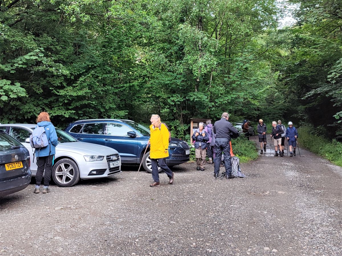
We start at any one of three roadside laybys at Raven’s Lodge. If you have a choice, use the first of the three because that’s where you can purchase the Geotrail Booklet (Honesty Box).
Raven’s Lodge is just off the A590 – If you are travelling from Bentham / M6, continue past Levens and then look for the A5074 on the right. As soon as you pass this, move into the right hand lane, and then take the next right hand turn – you are now on what is often referred to as the “old road” because that was the main road until the A590 was upgraded. Continue on for a couple of hundred metres and then take a right turn. Follow the track round past the farm and the lay by comes into view. If you are using Satnav to get there the postcode for the farm is LA8 8EU, the OS map reference is SD46118531, and the what-3-words tag is central.lashed.dries
Although you will be eager to set off on this excellent walk, take a moment to peruse the booklets available at the first layby, often accompanied by local produce – including particularly good rhubarb – and then having stocked your library and cool box, have a look at the pond just behind the parking spaces. At first sight it appears to be little more than a damp puddle, but in fact it’s much more interesting: As we proceed round the walk you will notice that we see no streams – that’s because the rain falling on the entire scar seeps through the limestone with some of it emerging from fissures around the base. The slow and steady flow from the fissures means that the little pond is protected against drying out and always has a supply of good pure water. This enables newts to colonise the pond. It may take you a moment to “get your eye in”, but once you do you will see dozens of juvenile newts moving around during spring and early summer. We thought that they were common newts – to find out more about the three species of newt that live in the UK, visit the Woodland Trust’s site

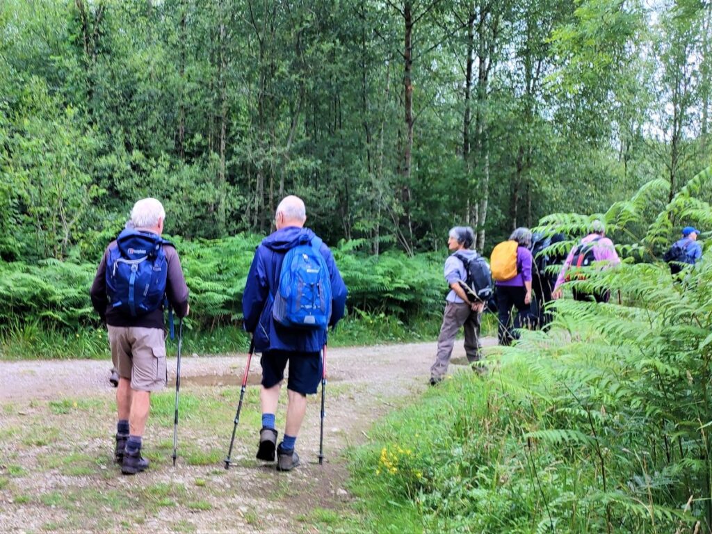
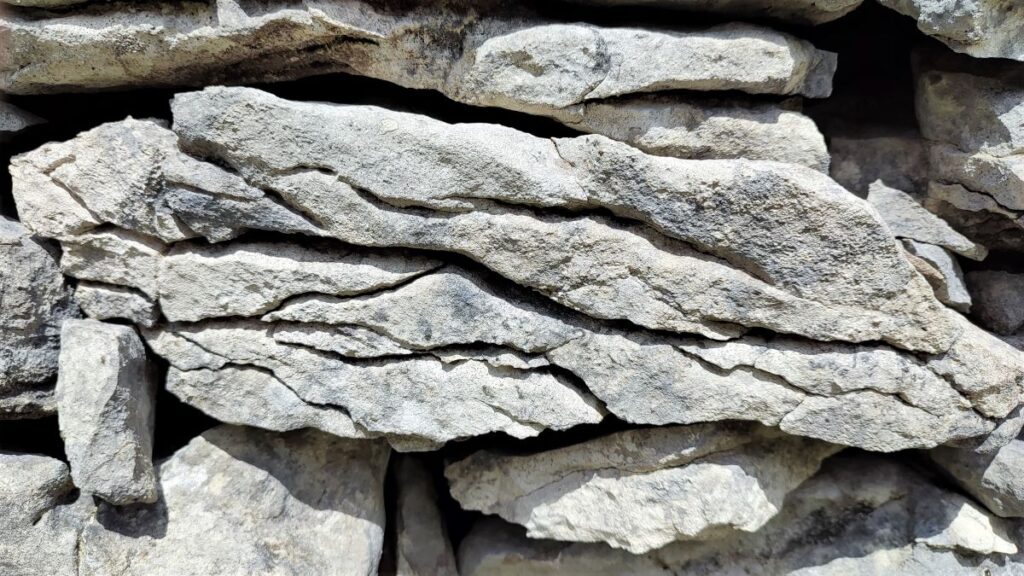
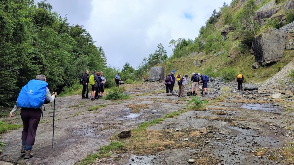
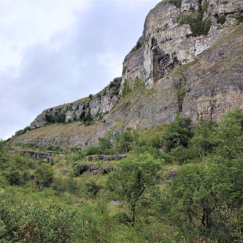
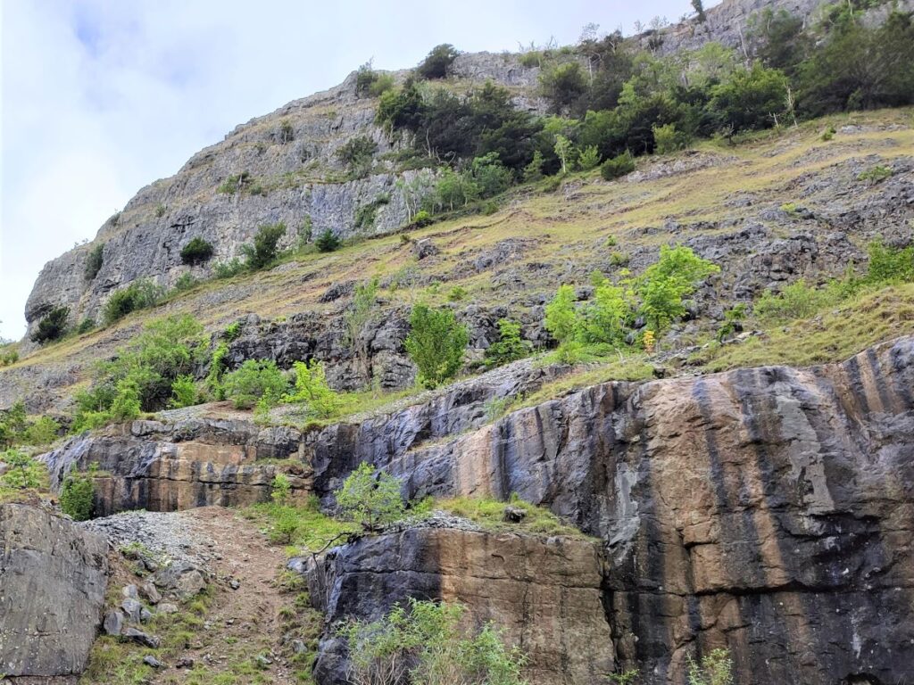
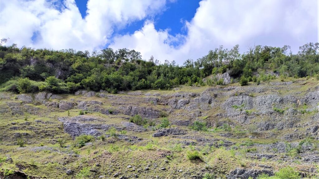
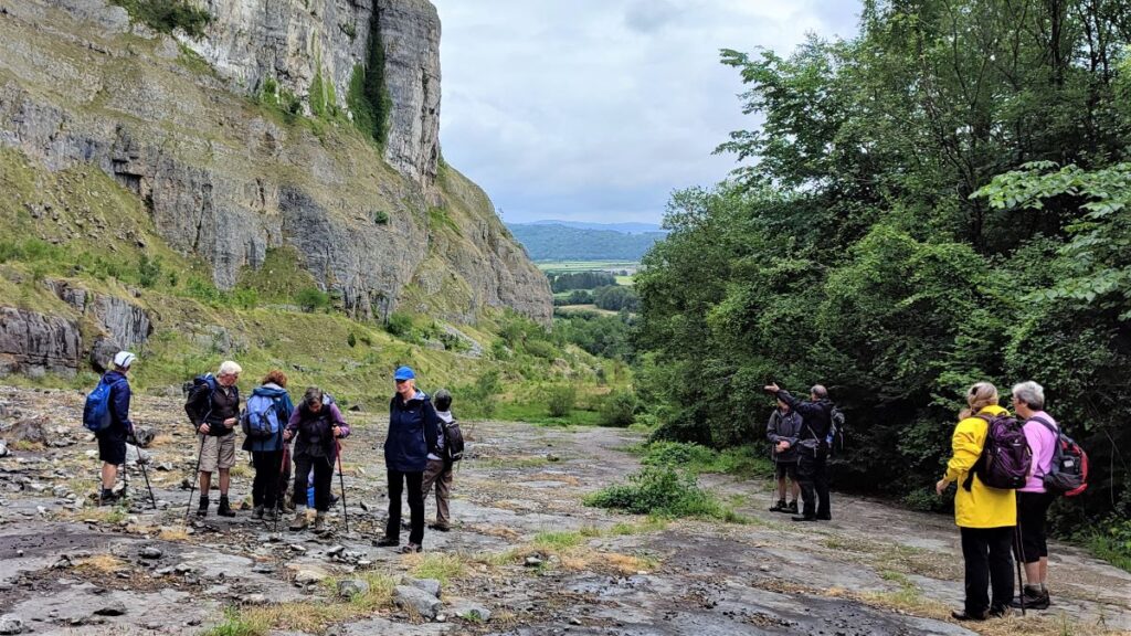
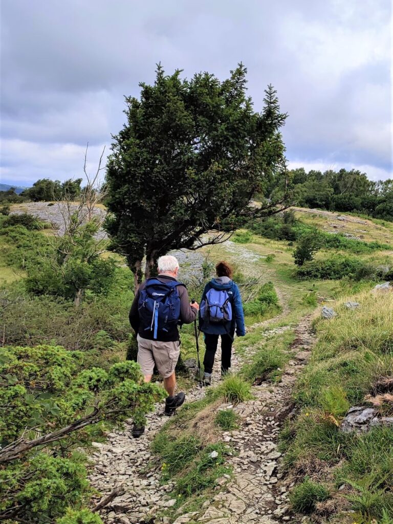
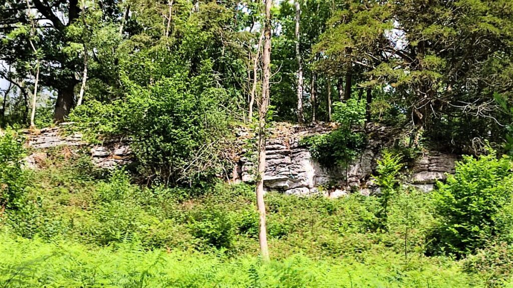
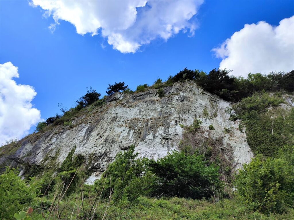
The walk starts by picking up a path at the end of the layby nearest the main road. This takes us up through a gate onto a flat area at the base of the scar often referred to as the Great Slab. Many years ago, this would have been covered in scree that had detached from the limestone cliffs above through countless freeze-thaw cycles. That scree is a valuable resource – it’s used in road building – so the site was actively quarried until 1982, when just about all the easily accessible scree had been removed leaving a flat section of the underlying limestone bedding plane.
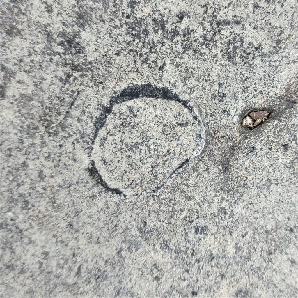
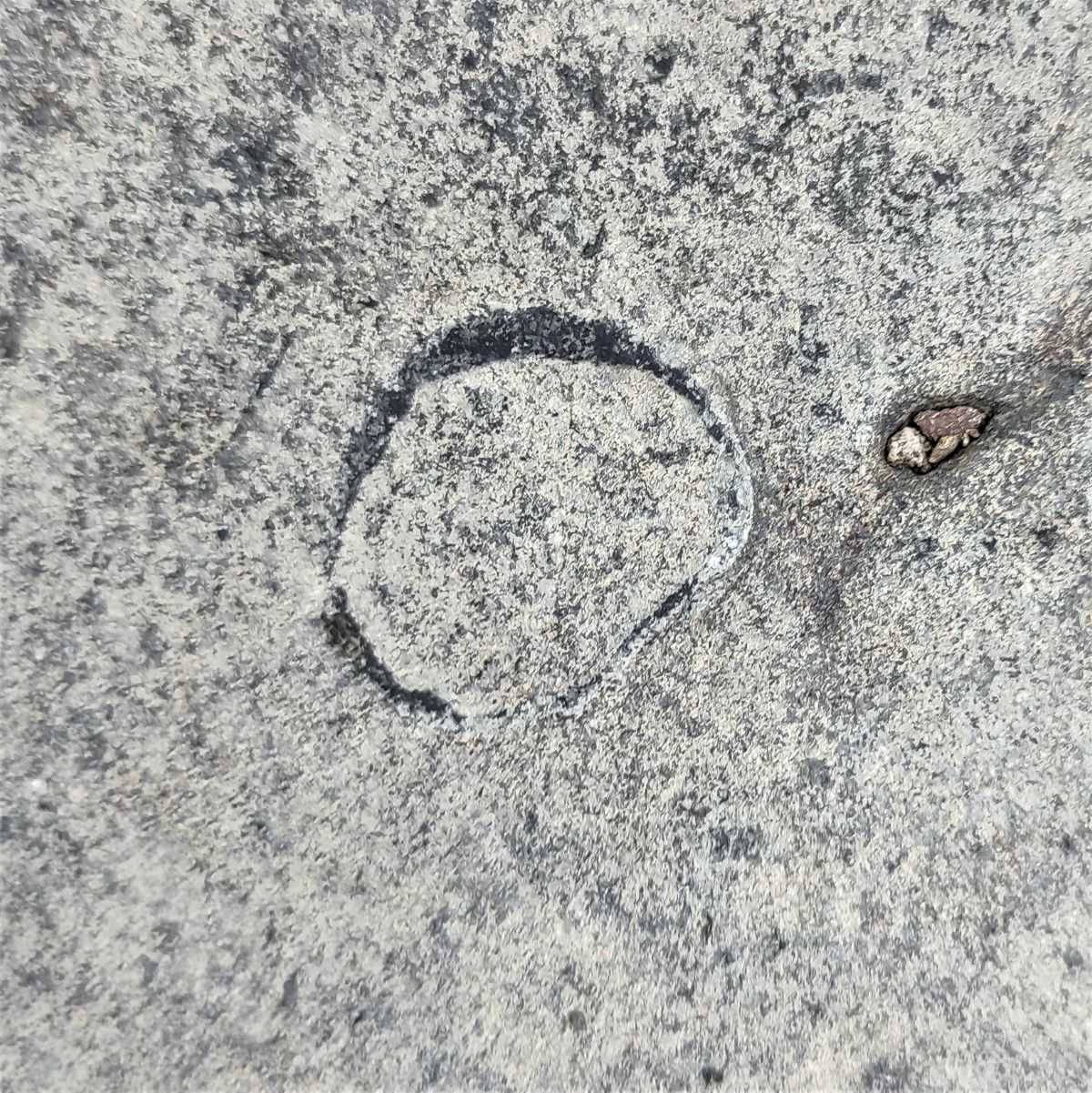
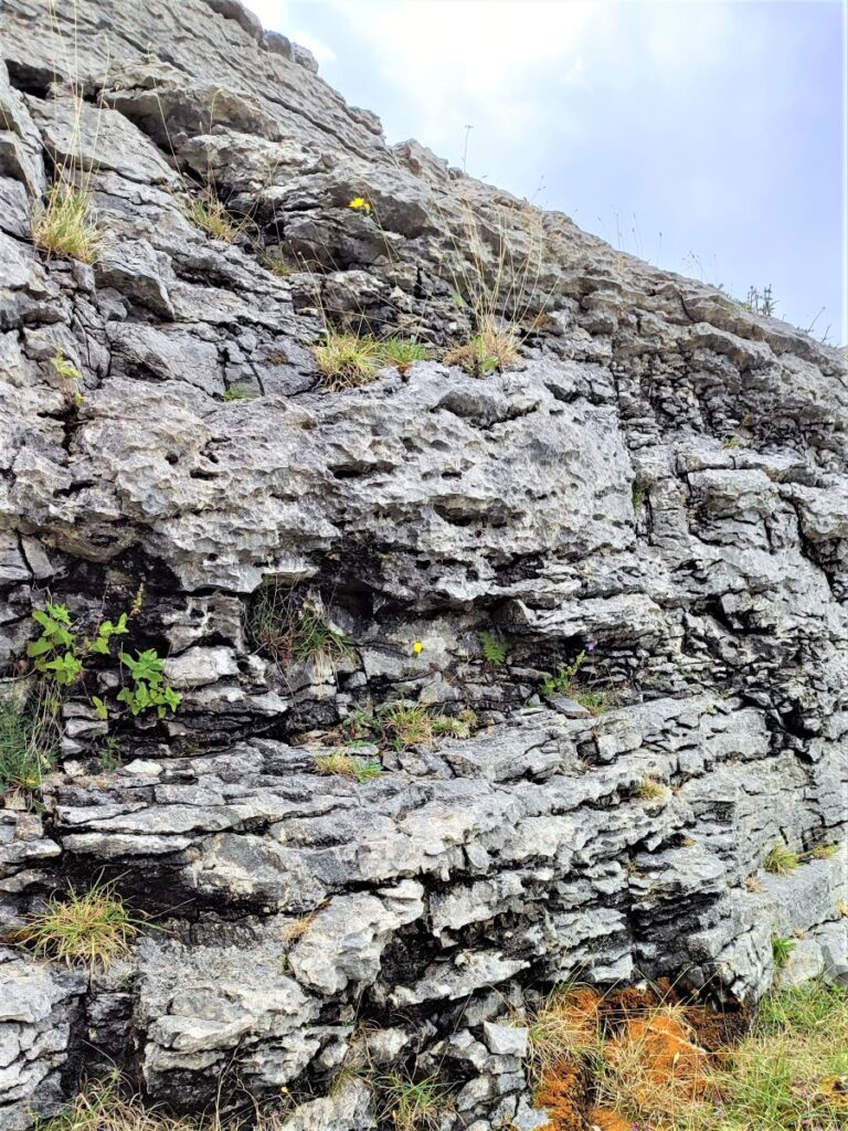
The Great Slab is a very old (340 million years) dark limestone referred to as Dalton Limestone. Embedded withing it are countless fossils, mostly of brachiopods – look for the oval outline of their shells – they were superficially similar to modern mussels.
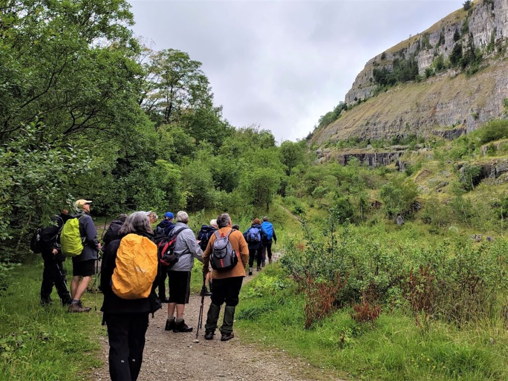
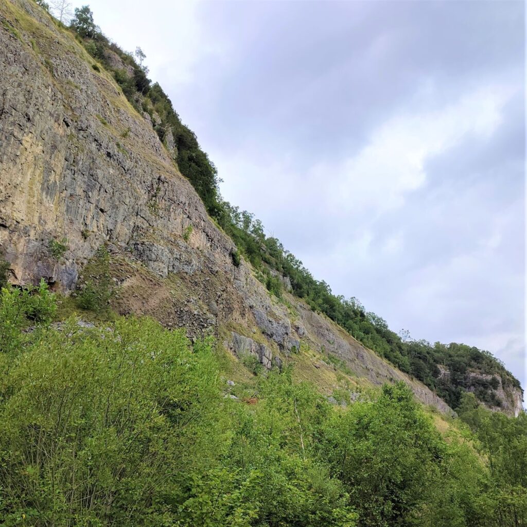
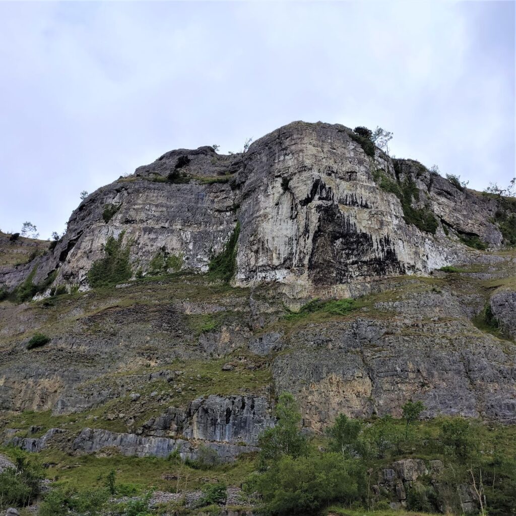
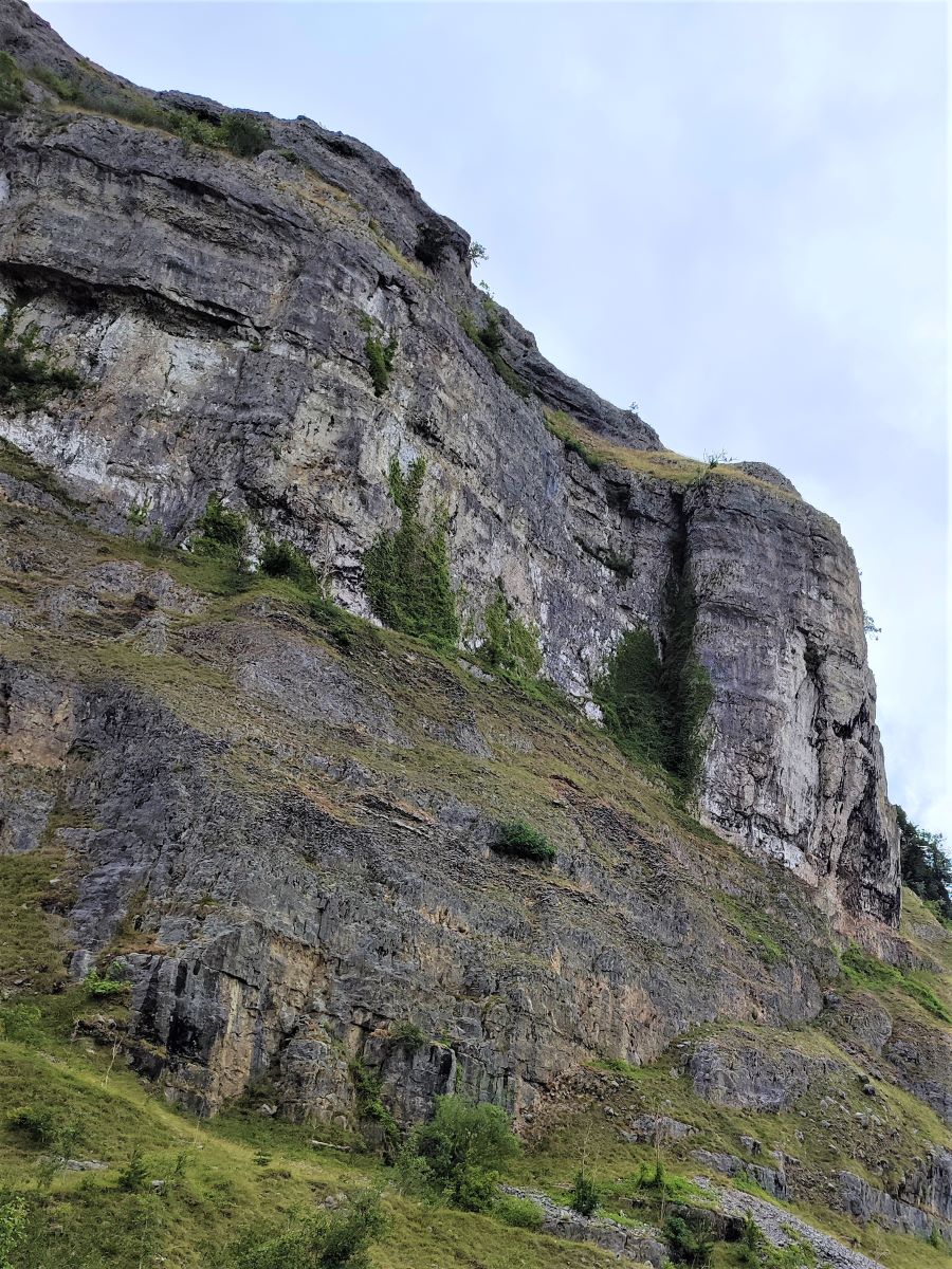
As you look up from the Great Slab, you will notice White Scar soaring above, and if you are lucky, you may see Peregrines hunting here.
Around the base of the scar, you may notice what looks at first sight to be concrete dumped in random piles. This is in fact a material known as cemented scree. It was created when calcium rich water percolated through loose scree over millions of years forming a fresh layer of limestone to fill the gaps in that scree.

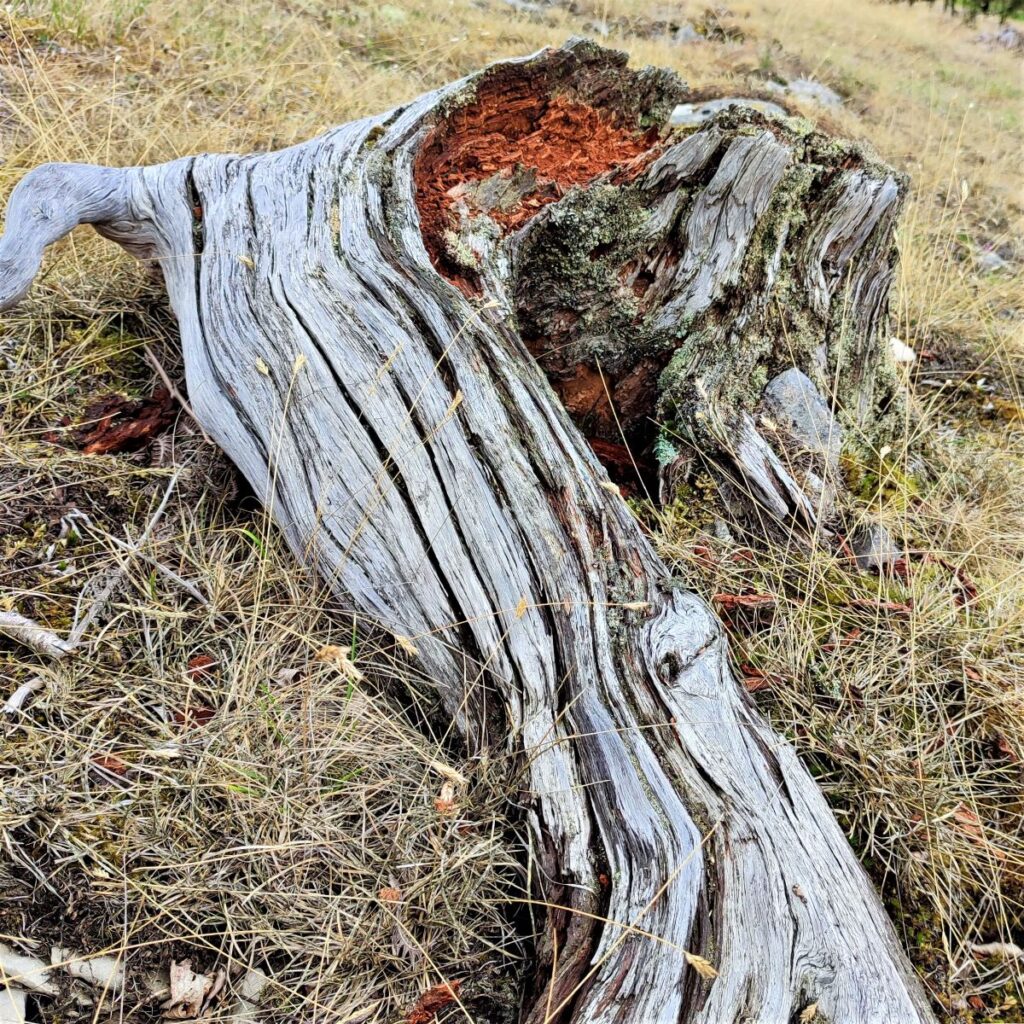
We press on from the Slab and head gently uphill noticing a number of areas where there is red staining from iron rich hematite present in the limestone. The unusual chemistry of the soil here influences what species will grow, and the colour of the leaves of those species – so look out for autumnal red leaves all through the year on some plants.
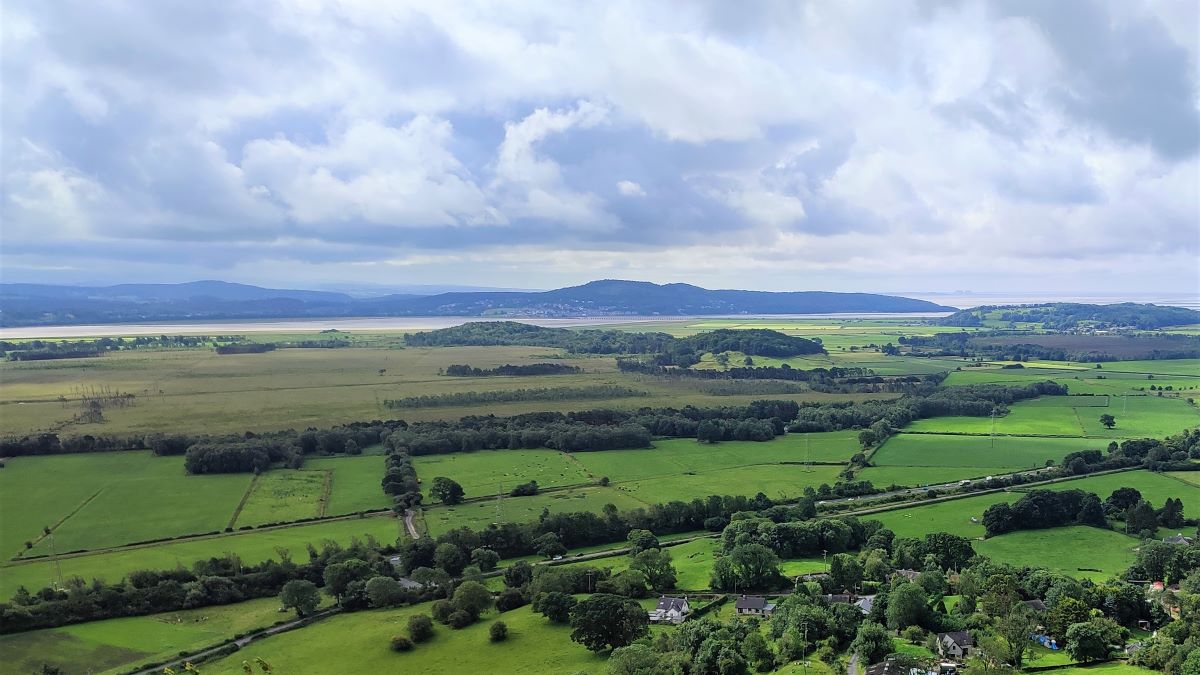
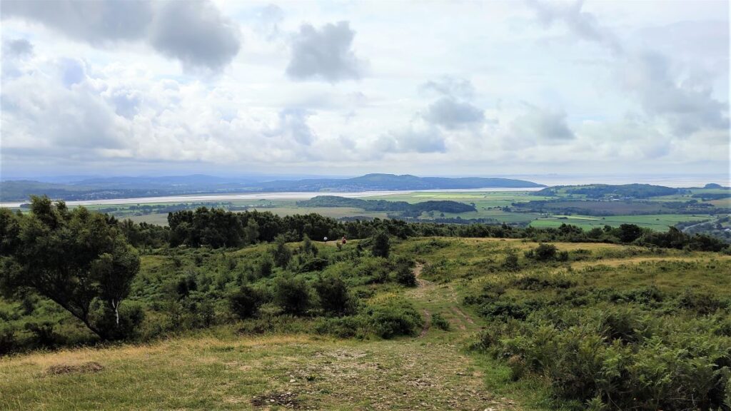
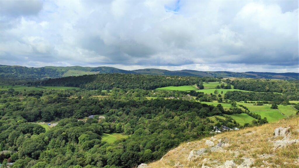
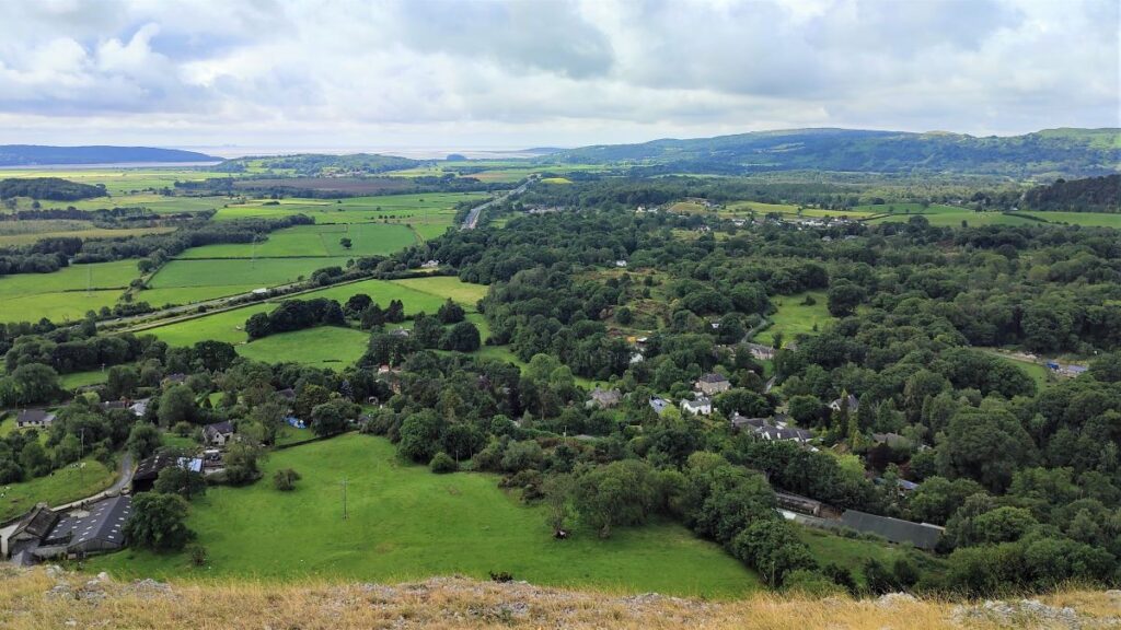
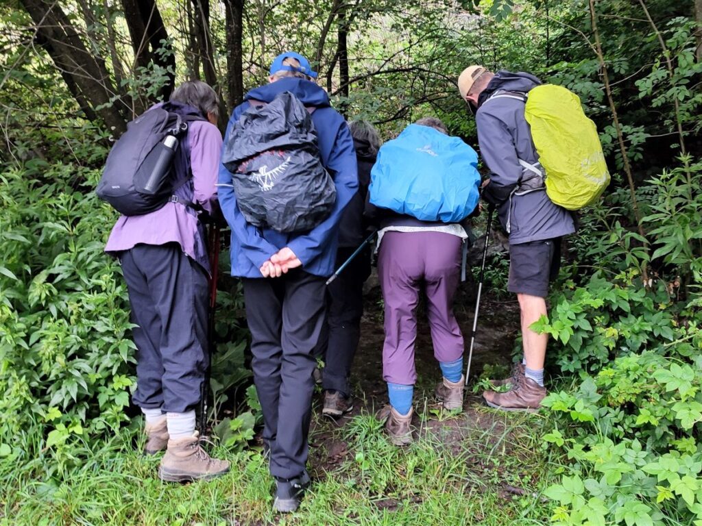
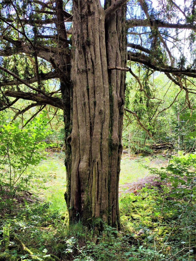
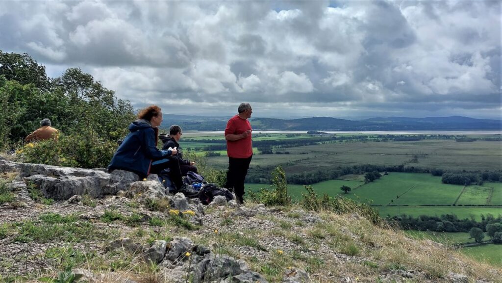
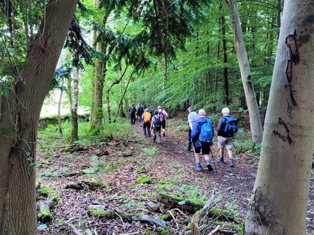
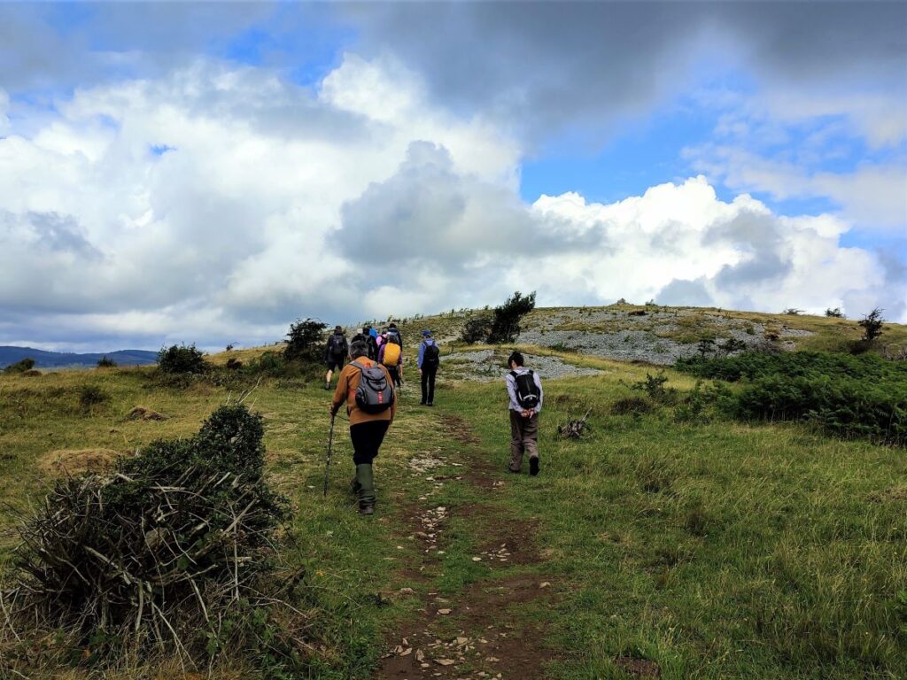
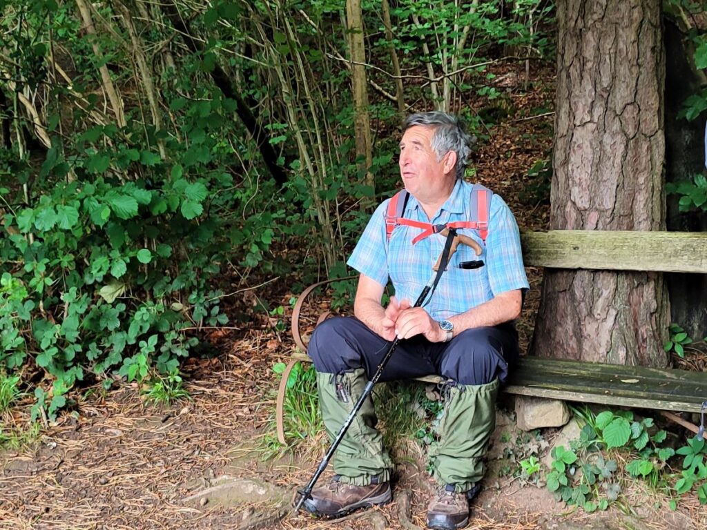
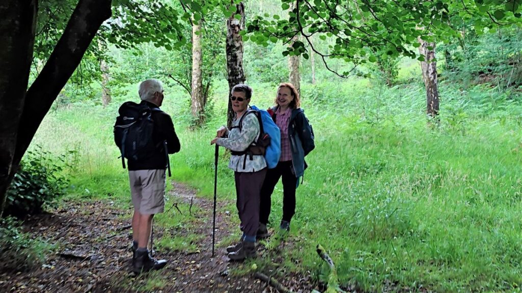
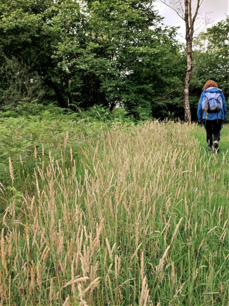
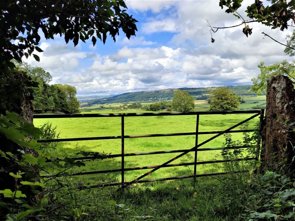
The path winds uphill now and enters woodland – much of it Yew. We press on until we come to a bench, placed to enjoy a great view over the Kent Estuary and Foulshaw Moss. Just beyond the bench the path forks, and we take the right hand branch to head uphill on a narrow but clear route. This eventually arrives at a drystone wall, and we see a gate which give access onto the top of the scar. This is indeed the route we will be taking, but just before we go that way, it’s worth continuing long the flat path through trees to reach the viewpoint at Beck Head. This is one of the great “surprise views” – one moment you are plodding through dense woodland and the next you are faced with an open view over the entire Morecambe Bay estuary. This view is so good that the only thing to do is to sit down and enjoy a brew for a while.
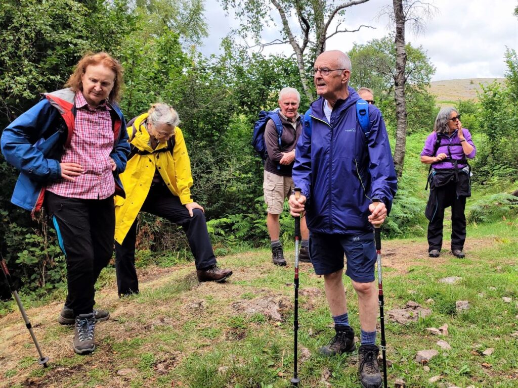
We now head back to the gate onto the top of the scar and follow the path up through the woodland. The path branches a few times. That’s not necessarily a problem, as the various routes tend to come back together, but if in doubt, follow the GPS we provide, and take the better trodden path at every option.
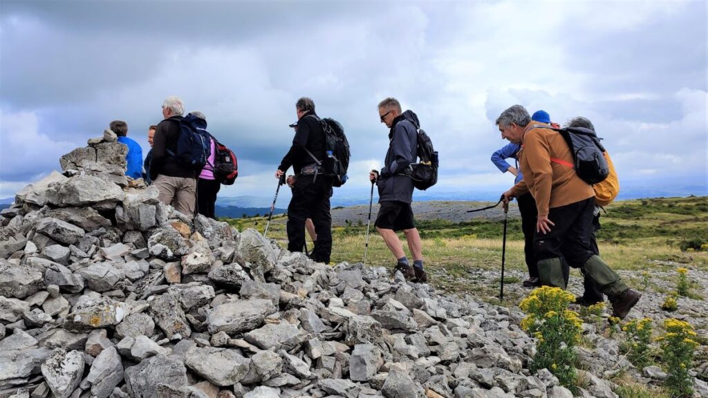
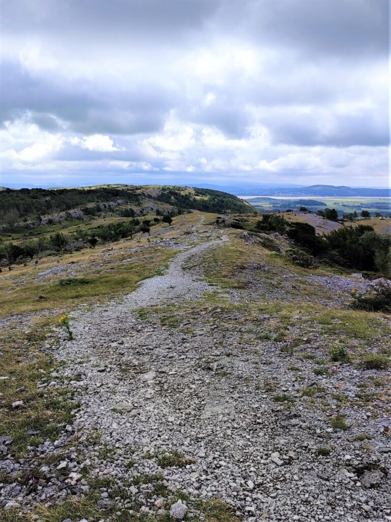
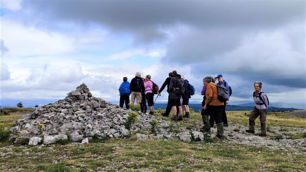
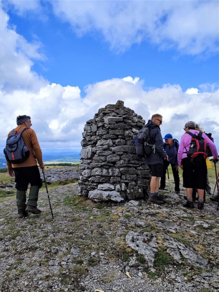
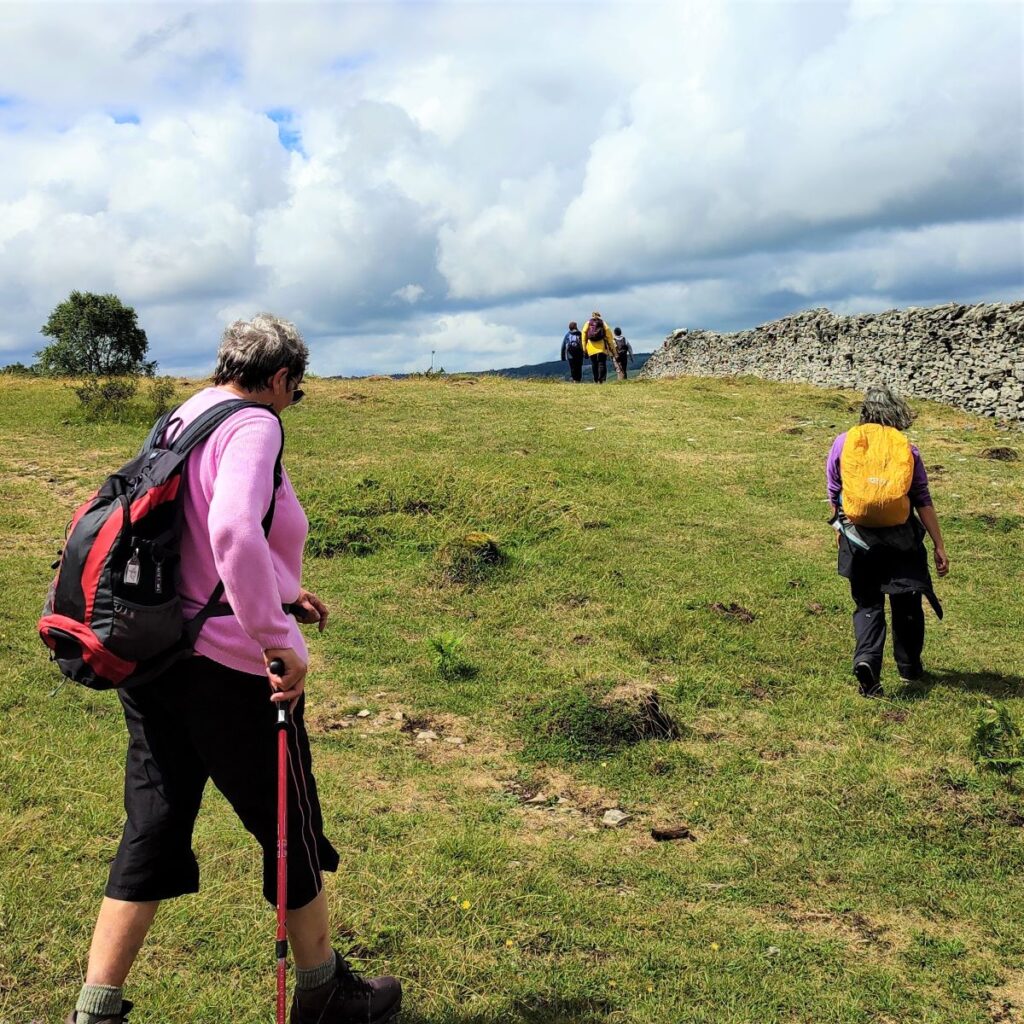
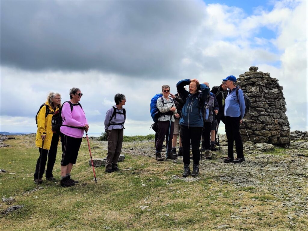
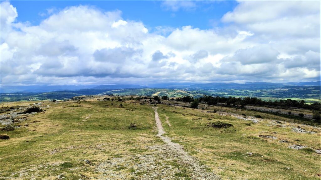
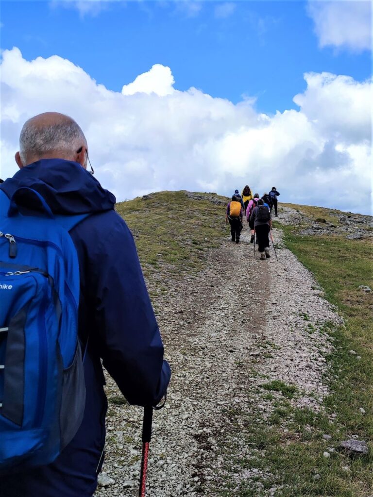
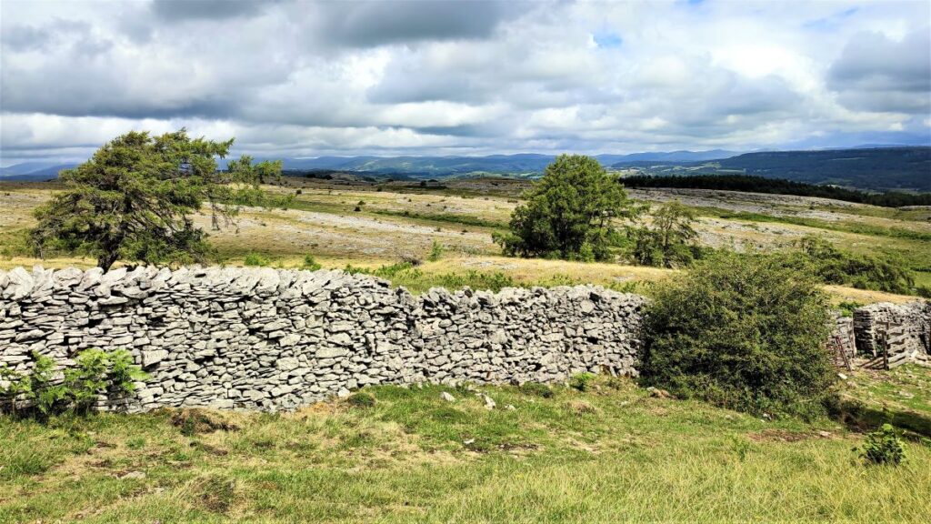
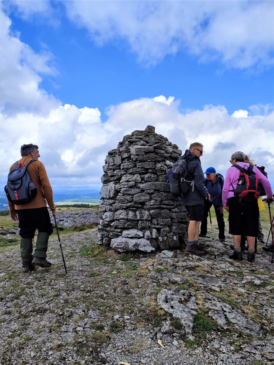
We soon leave the woodland behind and have a short climb up to the relatively flat top of the scar. From here on we are heading generally North with a great view to the Lake District ahead, Yewbarrow and Witherslack Hall to the left, and Farrer’s Allotment to the right. The path here is generally clear, but as this is access land there is no single correct route. The advantage of staying on the well-trodden route is that it goes directly to the Nature Reserve and Lords Seat – our next destination: Lord’s Seat is a cairn at the summit of Whitbarrow Scar, notable for the excellent views.
Wainwright offers a walk to here from Witherslack which he described as “the most beautiful [walk] in this book; beautiful it is, every step of the way . . . All is fair to the eye on Whitbarrow”.
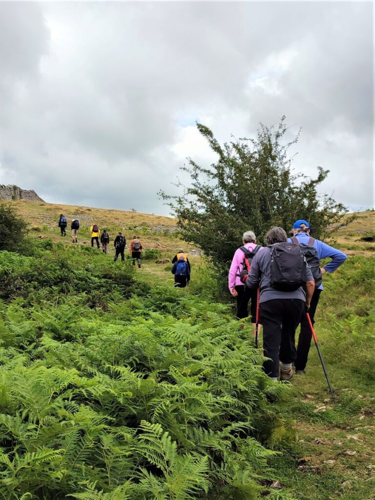
Along the ridge we notice a number of erratics – boulders carried by glaciers during the ice age and dumped in the landscape as the ice melted. They are perhaps not as intriguing as the ones we see on our Norber Erratic walk, but a number of them look like strange molar teeth jutting from the limestone pavement.
From Lords Seat, we head slightly to the right and downhill toward a curious scar thar runs parallel to us – it looks almost like a railway embankment – though obviously it isn’t. This is Urswick Scar and despite being lower than the peak at Lord’s Seat is more recent limestone exposed by glacial erosion.
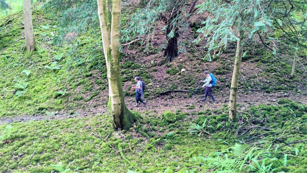
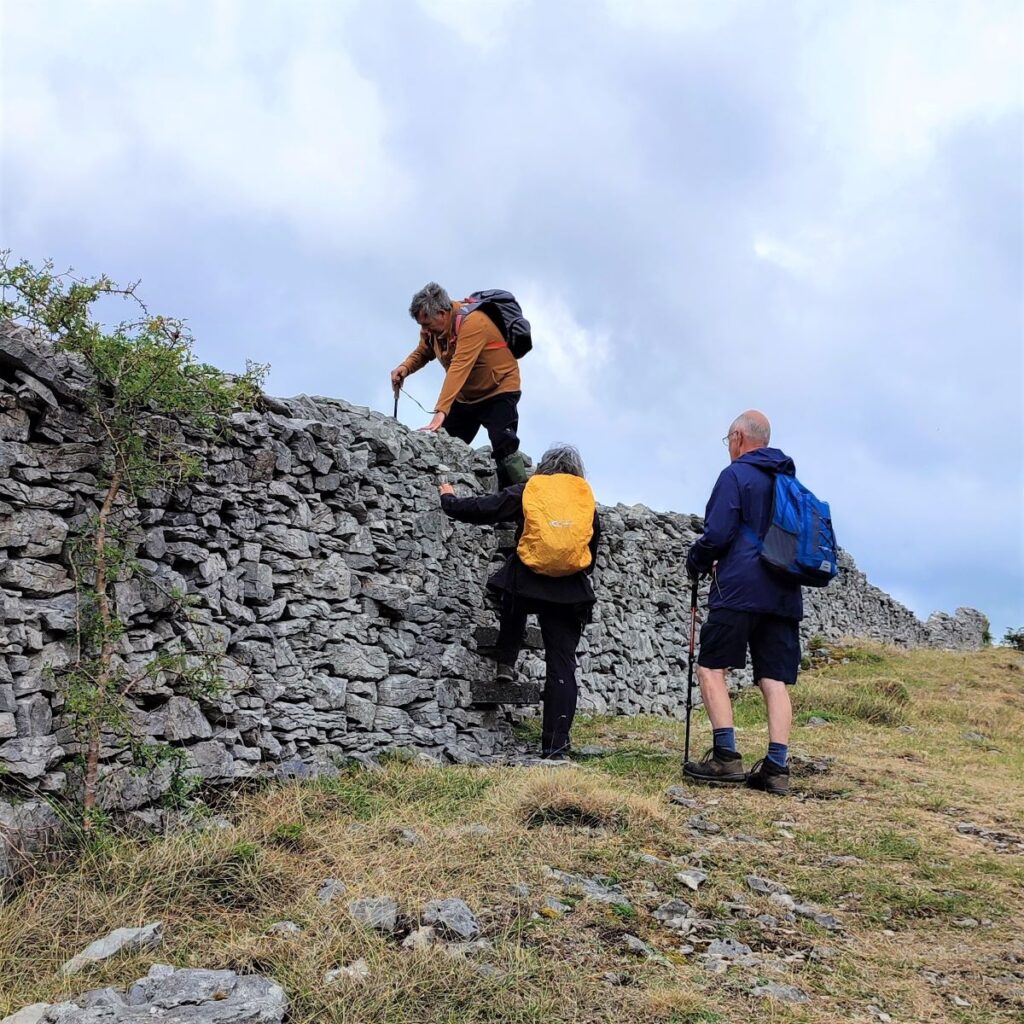
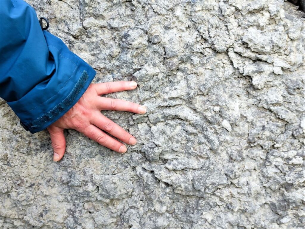
We soon see a drystone wall along the far end of the Urswick Scar, and we follow this North for a while. You may notice a stile in the wall, and if this offers a shortcut down to the woodland connecting to the forestry track that we return on, so if the weather is turning or you are short of time, bear this in mind. Just to the right of the stile we see evidence of what are known as “trace fossils” in the exposed rock. Trace fossils are not the remains of specific animals or plants like the brachiopods we saw earlier, rather they are the remains of biological activity – in this case the burrows left by shrimp like animals in what was once a tropical sea.
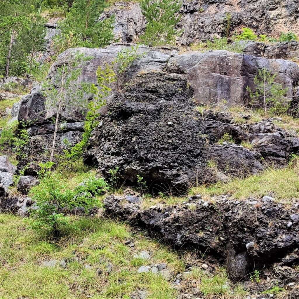
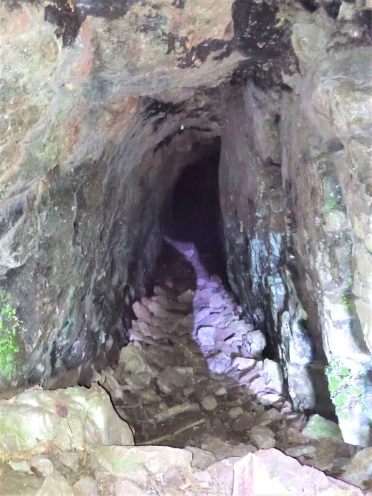
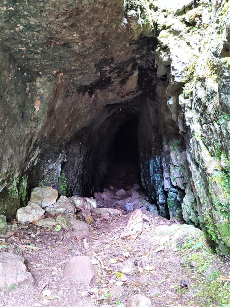
We follow the wall round to the left for a while and start to head downhill, until we see a gate. The path continues as a sharp right beyond the gate, but before we do that it’s worth taking a short diversion to an abandoned mine, so rather than going through the gate here we head left and stay with the wall (which is still on our right) for a while. We pass a stile and then as we follow the path downhill, we soon spot the entrance to the mine on the left. This is Bell Rake Adit, an 18th century attempt to find viable hematite reserves. The tunnel continues 27m into the hill, and although records are sparse it is believed that little viable ore was found.


We retrace our steps for a little way now, returning to the stile we saw just before the mine. We cross, and then turn right to head uphill following the opposite side of the drystone wall. This soon delivers us back to the gate we saw earlier, and we continue to follow the wall, now going downhill with the woodland on our right, heading toward a boggy area known optimistically as Toby Tarn
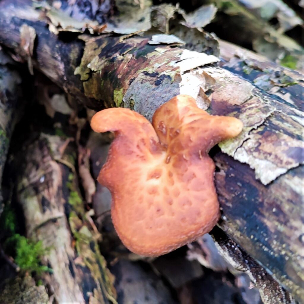
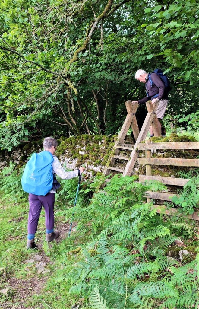
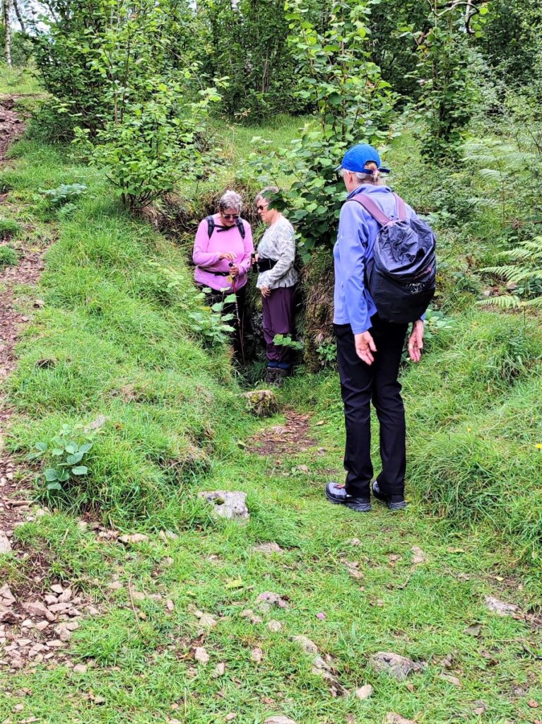
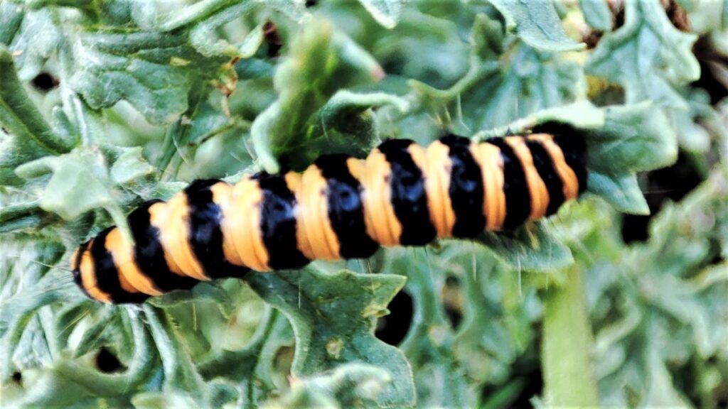
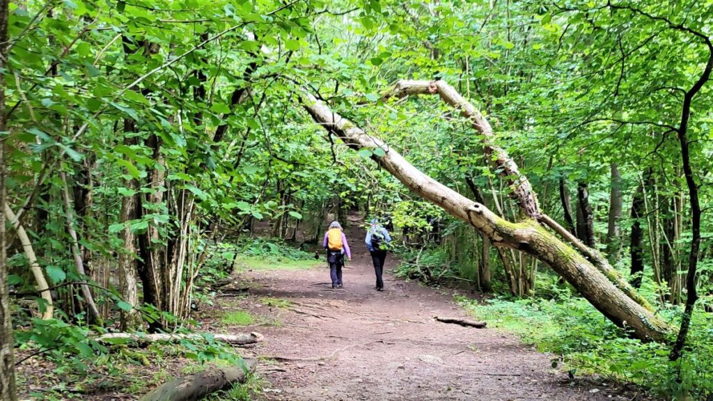
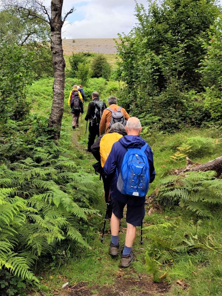
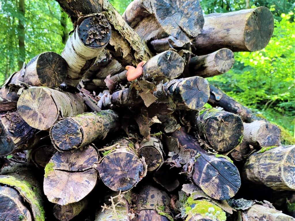
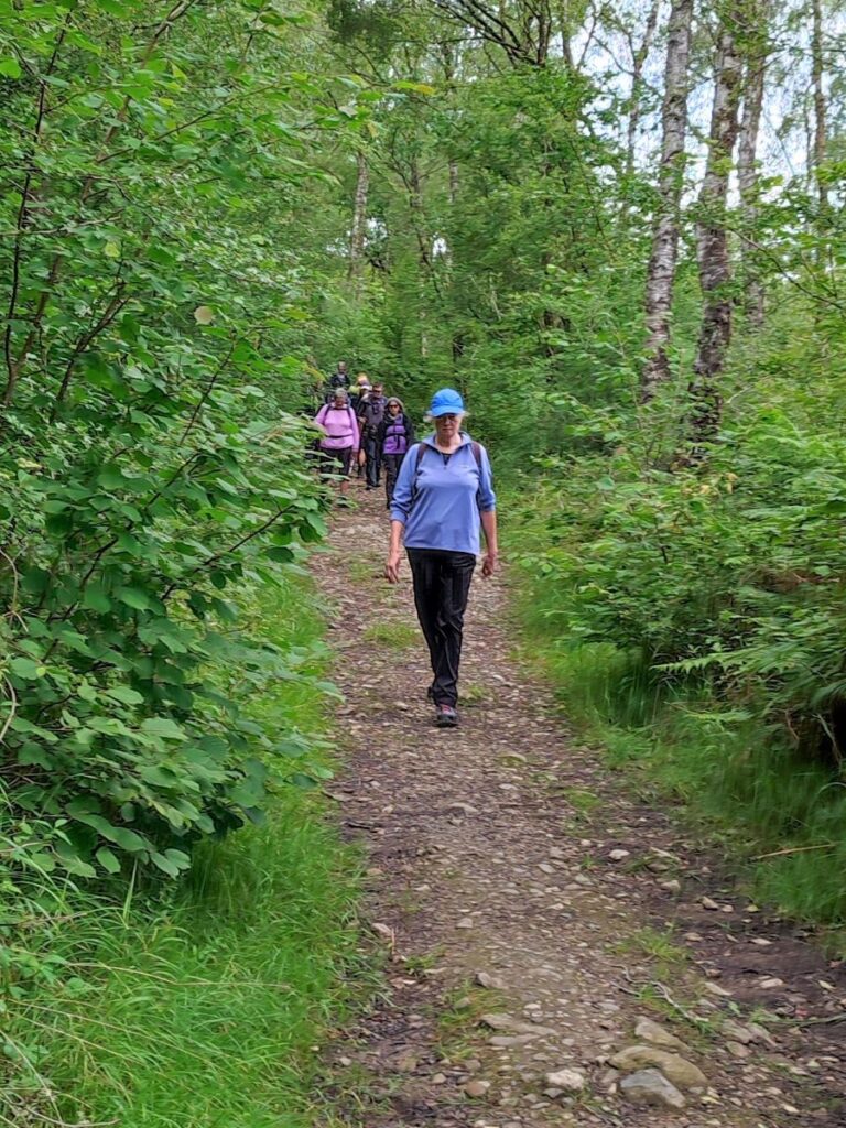
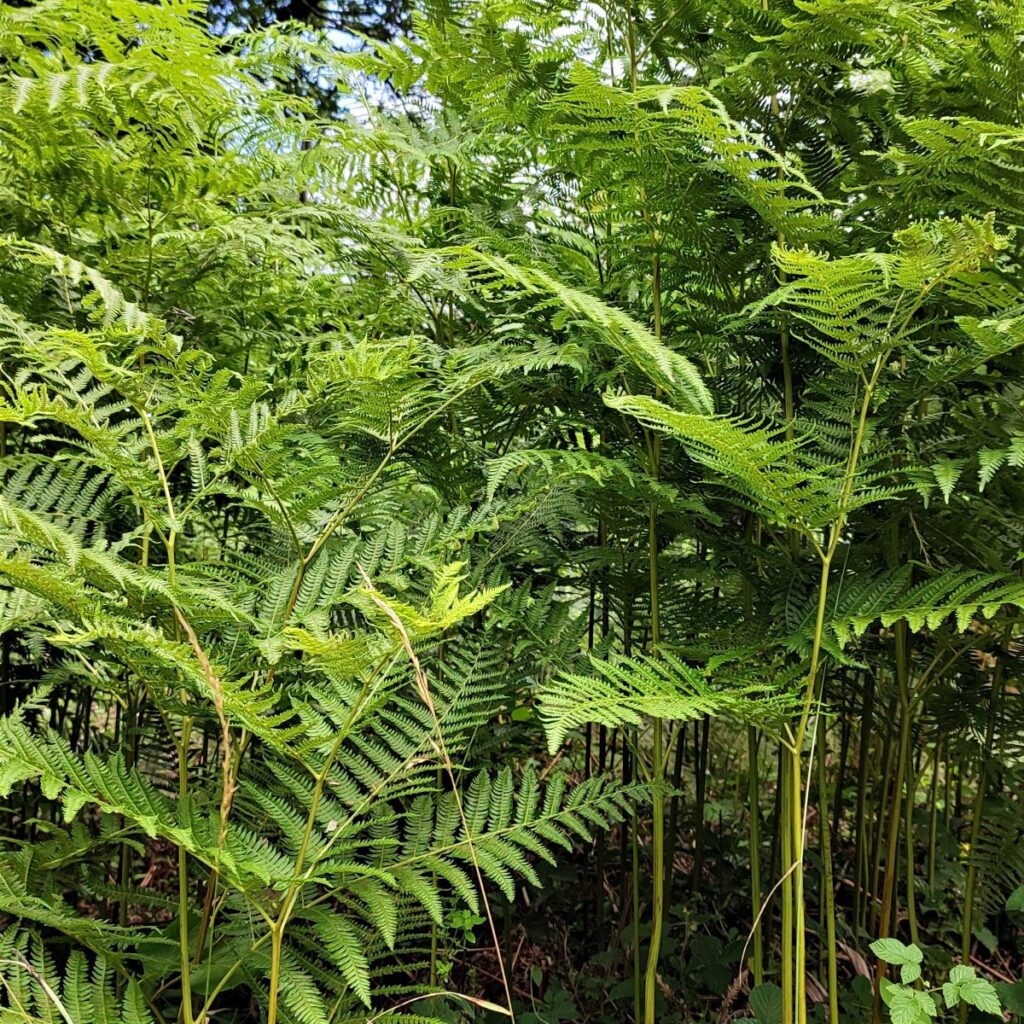
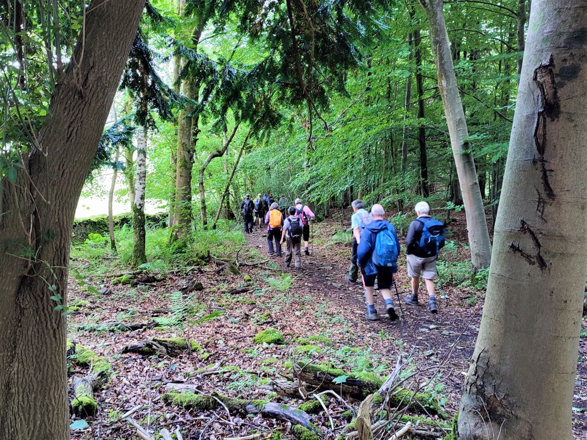
We take a wooden ladder stile into the woodland – called Horse Pasture Wood – and follow a clear path for a while through woodland where we see a good variety of fungi and/or wildflowers and butterflies depending on the season. After a short walk, we see a second path coming in from the right – this is the shortcut from Urswick Scar that we noted so if you took that, welcome back.
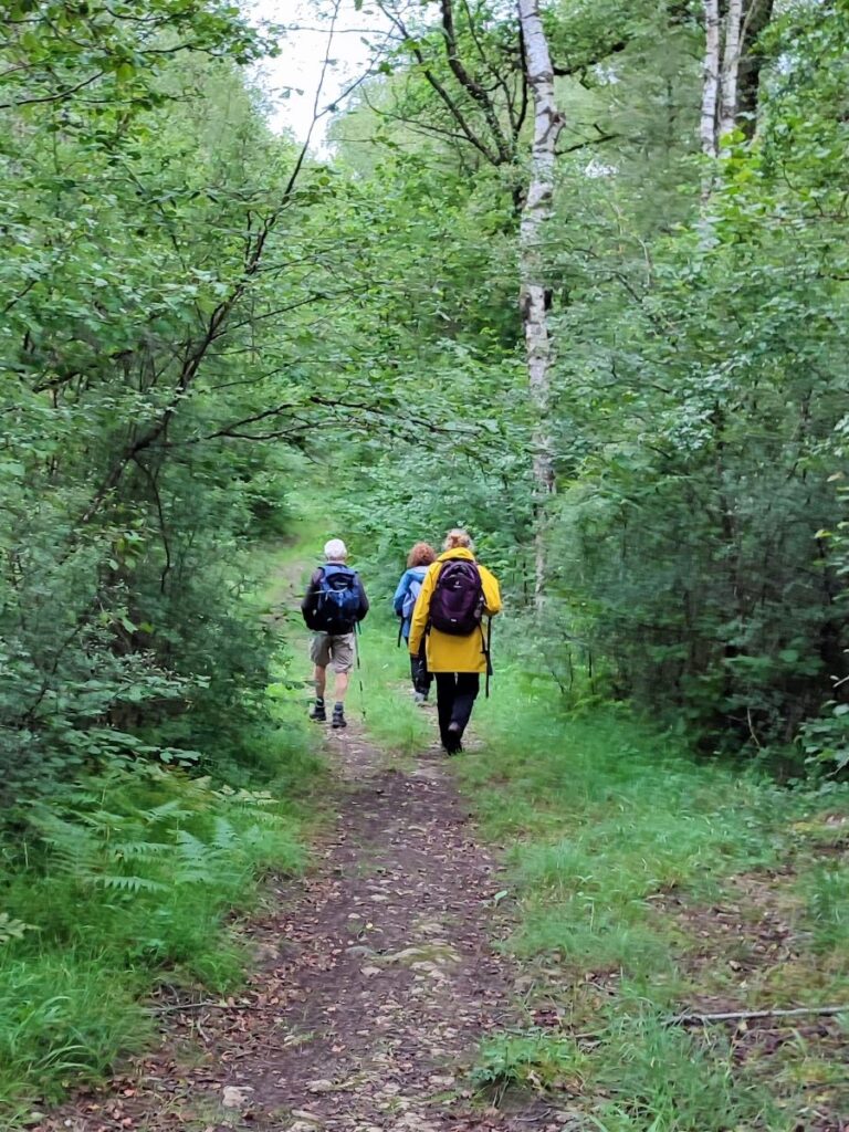
We follow the woodland track for a while now. There are a number of forestry access paths to distract us, so some care is needed. The general advice is to follow our GPS track, but if that’s not possible, the landmarks in order are:
- The junction with the shortcut where we head left,
- A junction with a broader track – we take right,
- A track coming in from the right – ignore it,
- A T-junction – we go right, then almost immediately . . .
- A fork – we stay to the left,
- A minor track on the right – ignore it,
- A track crosses ours – ignore it,
- A track comes in from the left – ignore it,
Get all that right – and in practice it’s not as complicated as it sounds because in all cases, we are taking the most used route – and we arrive at a junction at Rawson’s Wood. Here we need to look out for a smaller footpath leaving the track on the left and heading downhill toward the farm at Rawsons. If you find yourself climbing steeply on a wide track, you have missed the footpath on the left and need to retrace.
This lovely path zig zags through the woods offering great surprise views north up the Lyth Valley, before arriving at a stile onto a metalled lane at Rawsons.
From here we walk to the left of the well-kept farm buildings and take a sharp right turn at the bottom to follow the access road along the base of the scar and back to our start.