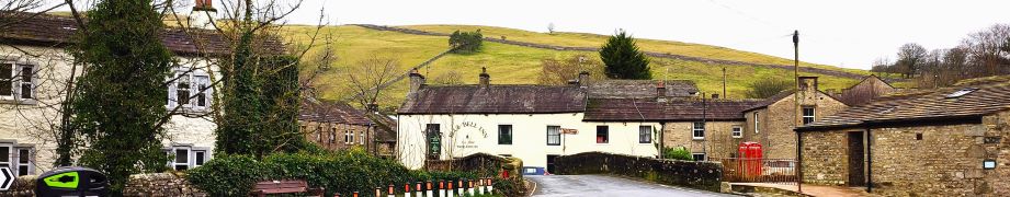
Buckden to Yockenthwaite
8.3miles | 13.3 km | 262 m Ascent | 9.6 Naismith miles | Sandra Craggs
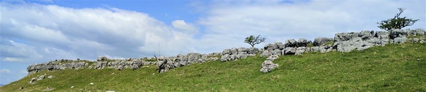
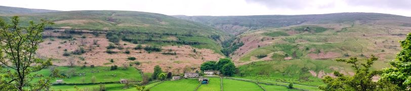
In February 2024, Bentham Footpath Group visited Kettlewell and walked up to Starbotton – where we crossed the river Wharfe. It occurred to us at the time that just a few miles further upstream was Buckden, another great starting point for walks in the Upper Wharfe valley. So, this time we drive just a little further and base ourselves at the convenient Yorkshire Dales National Park car park in the village and head out on the Pennine Journey path through Rakes Wood, along Buckden Rake, and on to Cray High Bridge where we enjoy the waterfalls. From there we head to the opposite side of the valley and walk down to Cray where we pick up a path that contours around the steep sides of Langstrothdale Chase above Hubberholme before falling to Yockenthwaite.
We then head back down the riverside path, now on the Dales Way, and soon arrive at Hubberholme and its beautiful church before finishing with a gentle stroll back to Buckden. As well as waterfalls, this walk offers great views, limestone pavements, ancient woodlands, and locations that you may well recognise from the TV series “All Creatures Great and Small”. Why do we start with a picture of a mouse? . . . read on.
Buckden to Yockenthwaite Read More »